
State Route 98 North - Klondike Highway

 North
North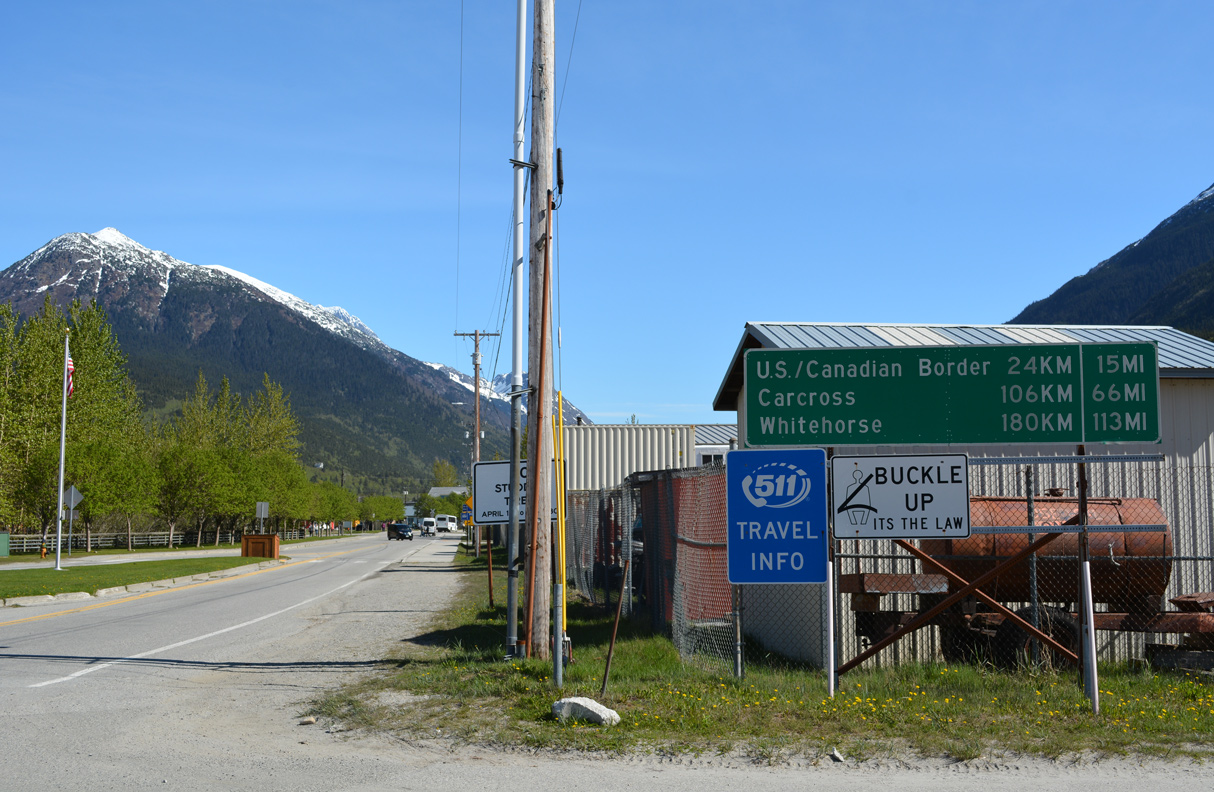
SR 98 commences along Broadway north of the Skagway Ferry Terminal. Klondike Highway travels from Skagway to Whitehorse, Yukon.
05/16/23
05/16/23
05/16/23
Broadway crosses two spurs along the White Pass & Yukon Railroad line north ahead of 1st Avenue.
05/16/23
05/16/23
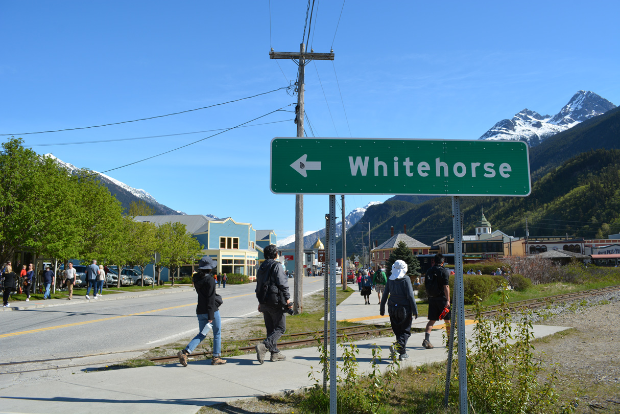
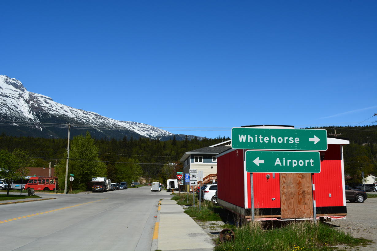
A guide sign for Whitehorse, Yukon precedes the unmarked turn of SR 98 from Broadway north onto 1st Avenue west.
05/16/23
05/16/23
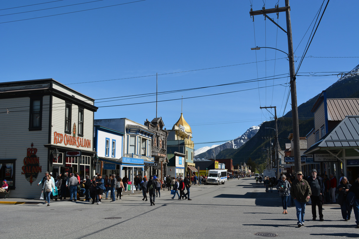
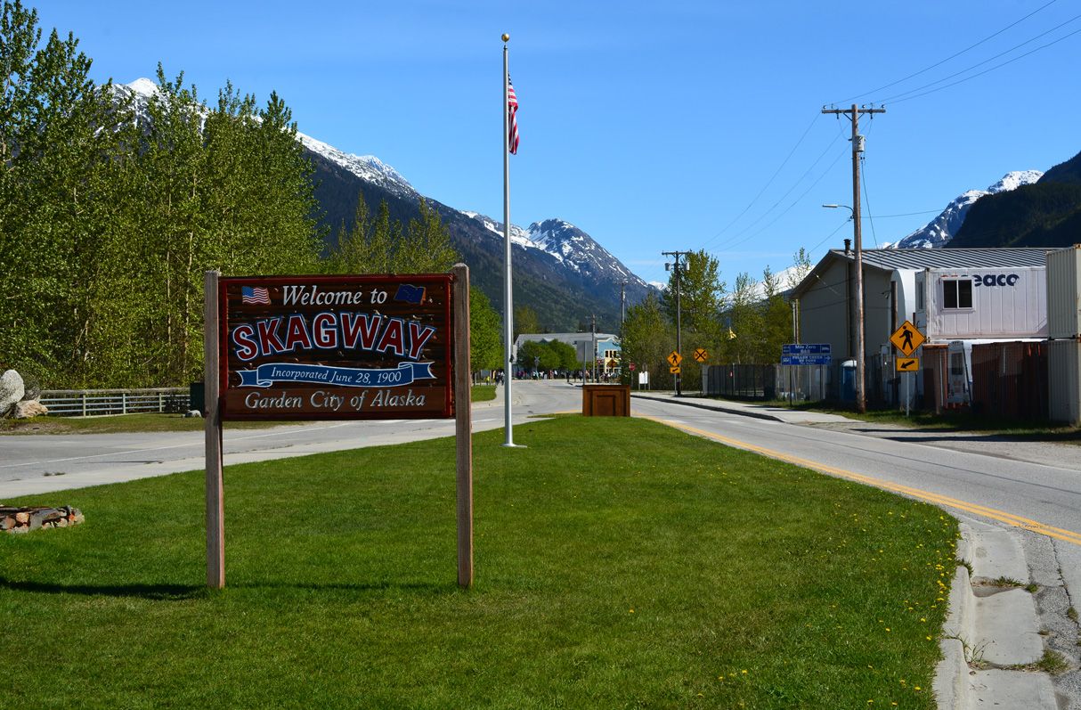
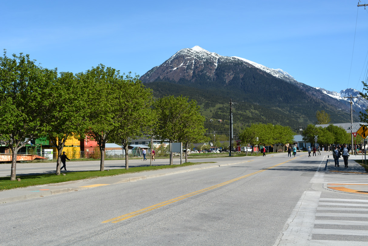
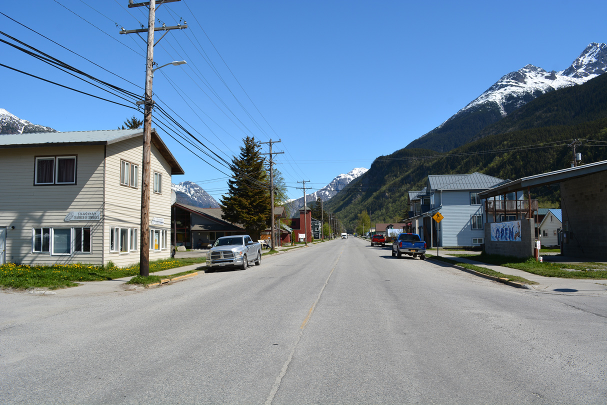
Broadway extends north from 1st Avenue into historic Skagway.
05/16/23
05/16/23
SR 98 turns northeast onto State Street. State Street south spurs to Skagway Airport (SGY) and marine terminals along Taiya Inlet.
05/16/23
05/16/23
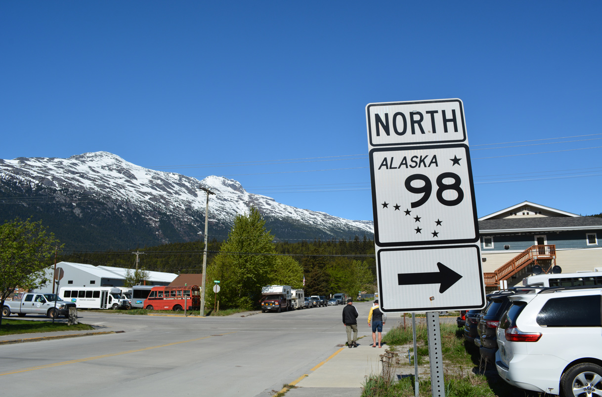
The lone shield for Alaska State Route 98 stands along 1st Avenue west at State Street in Skagway.
05/16/23
05/16/23
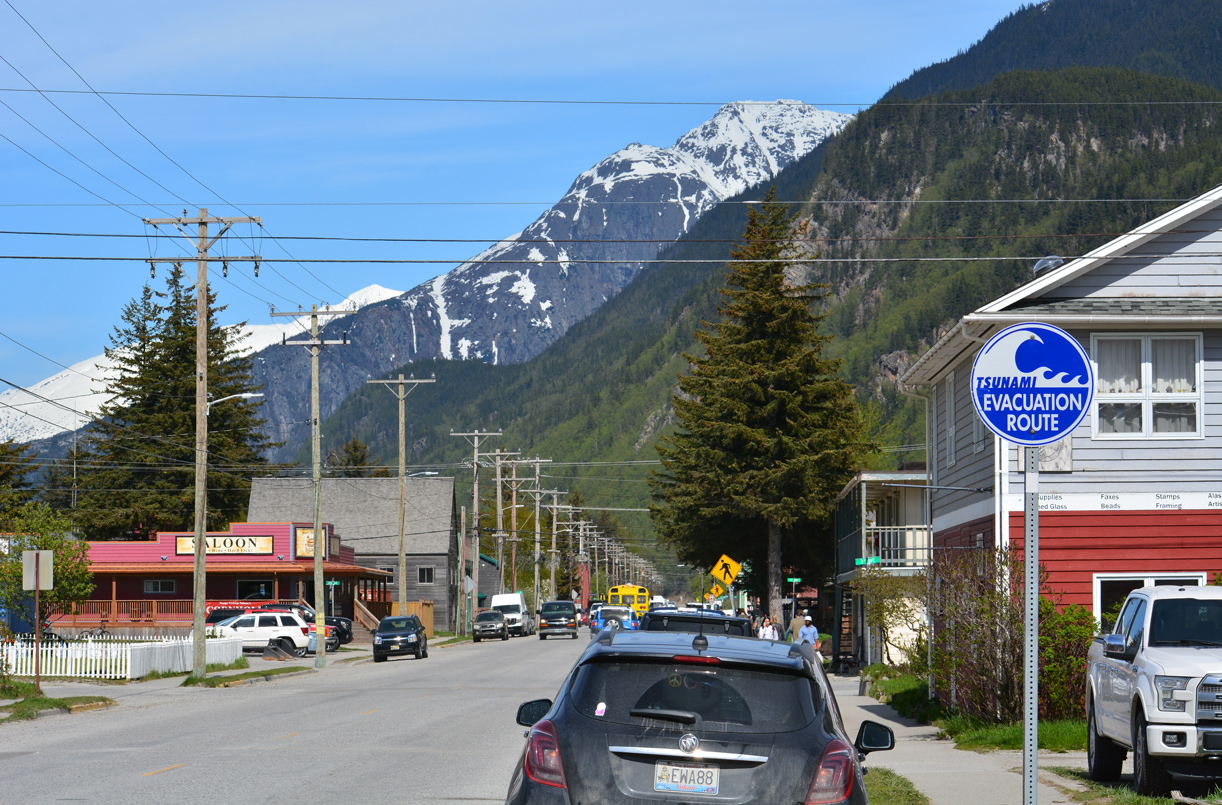
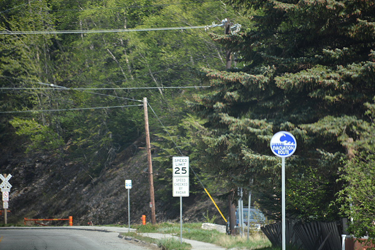
SR 98 along State Street is part of a tsunami evacuation route north out of Skagway.
05/16/23
05/16/23
05/16/23
05/16/23
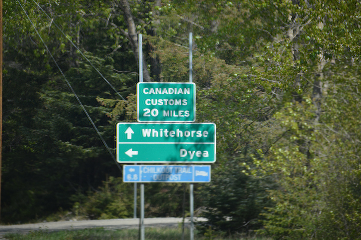
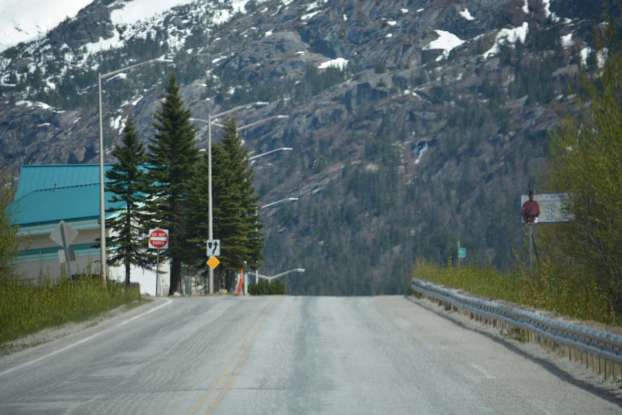
Dyea Road spurs 7.10 miles west from Klondike Highway to Chilkoot Trail at Dyea.
05/16/23
05/16/23
05/16/23
05/16/23
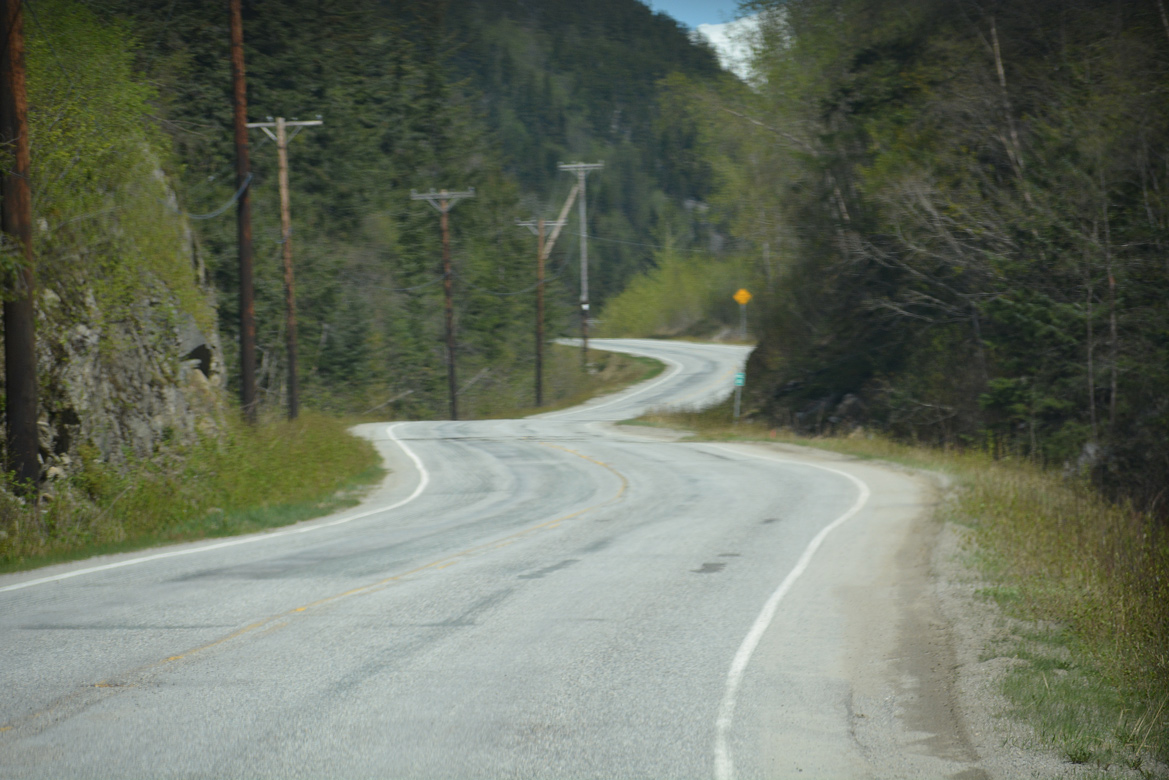
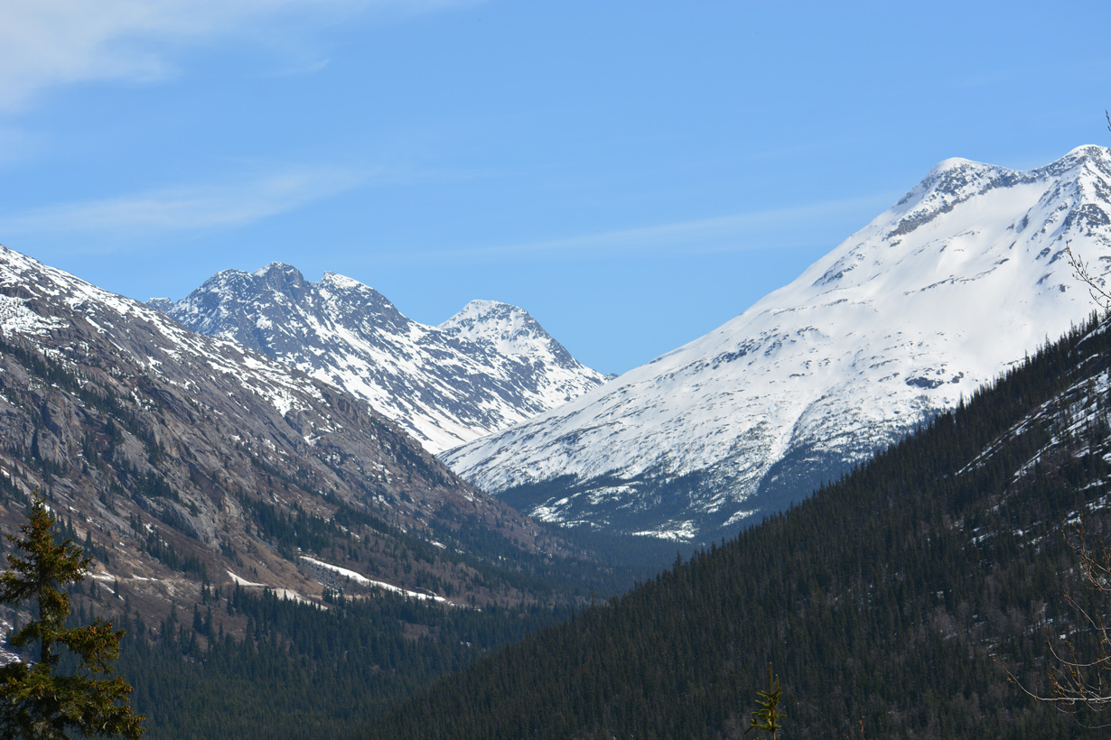
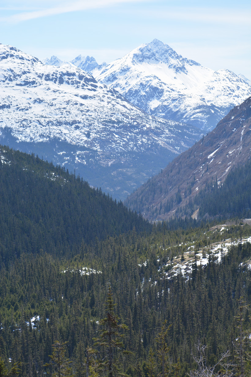
The East Fork of the Skagway River flows west along the Sawtooth Range within the Coast Mountains. A scenic pull off lies along the east side of SR 98 at mile marker 5.
05/16/23
05/16/23
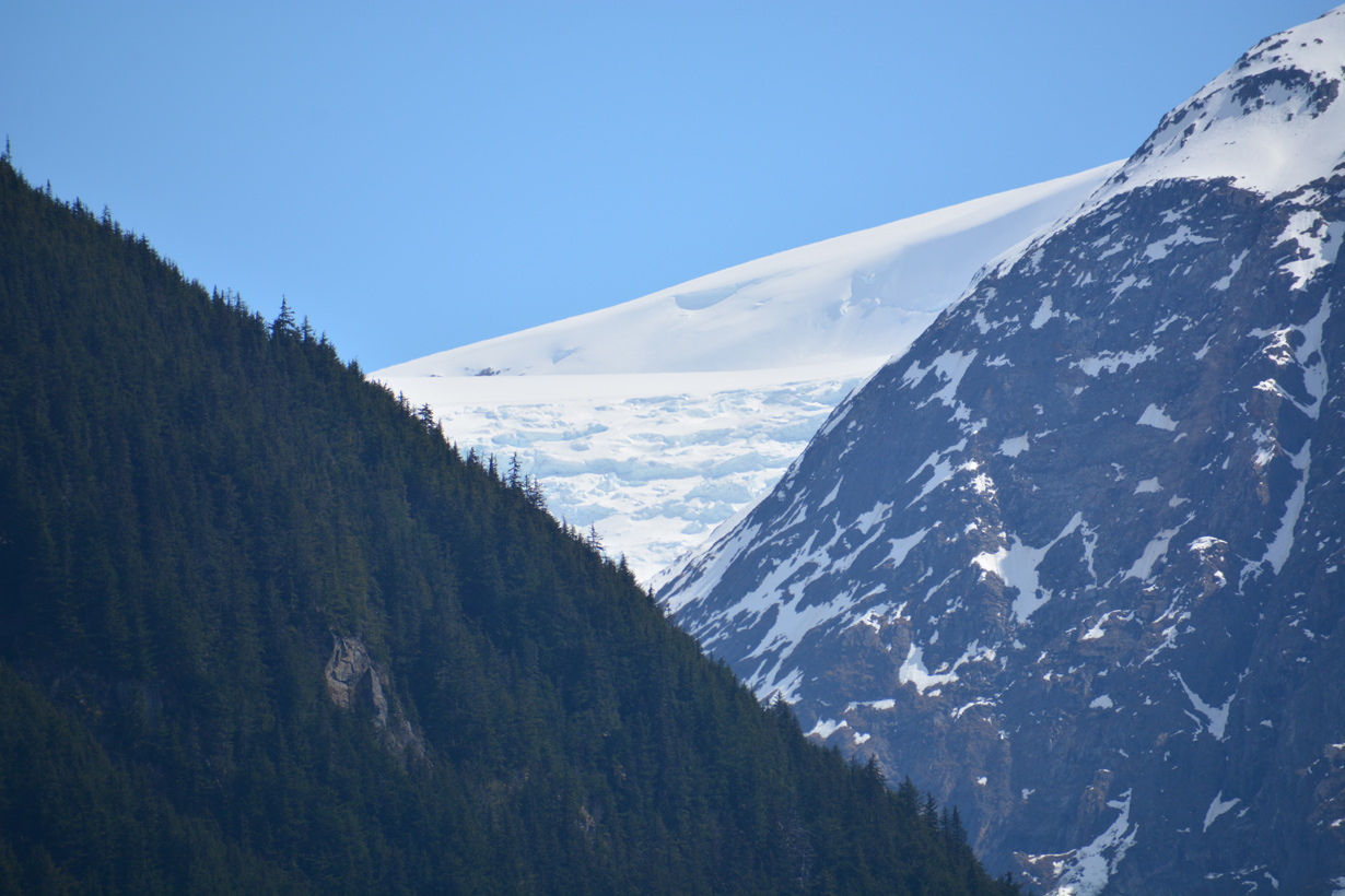
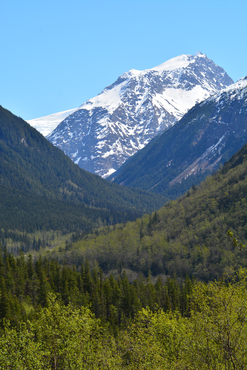
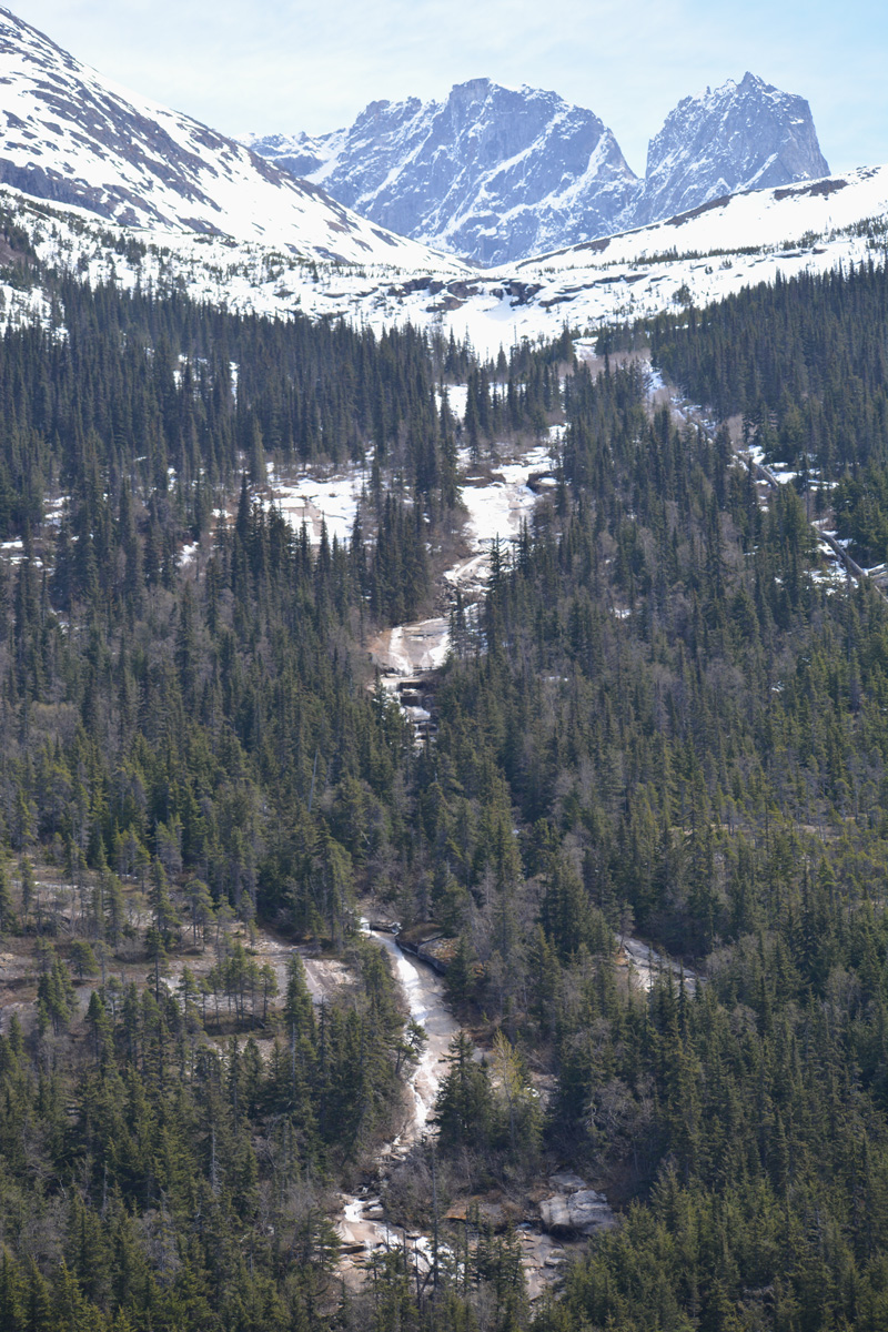
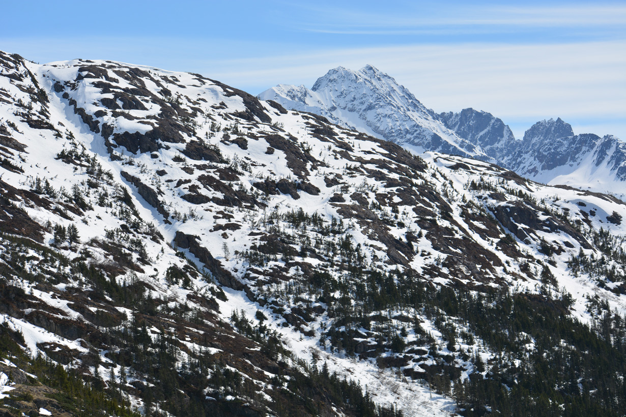
South Glacier appears in the distance by Boundary Peak.
05/16/23
05/16/23
Mile marker 5 is east of A B Mountain.
05/16/23
05/16/23
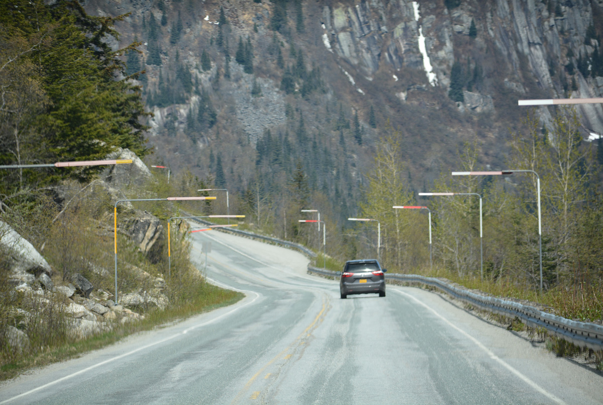
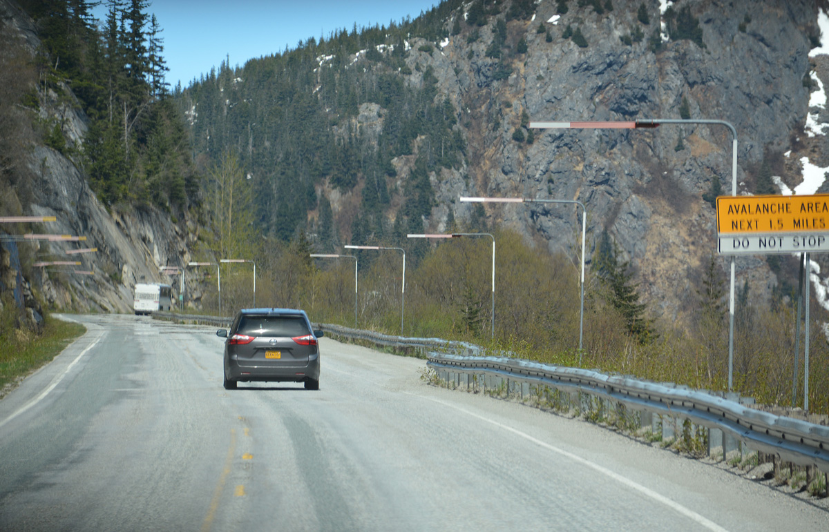
The U.S. Customs Station for southbound traffic on SR 98 is located midway between mile marker 6 and 7. The facility is not by the Canadian border due to the risk of avalanches.
05/16/23
05/16/23
Pitchfork Falls flows west from Goat Lake into the Skagway River near Klondike Highway mile marker 8.
05/16/23
05/16/23
05/16/23
05/16/23
05/16/23
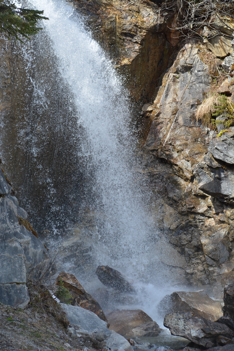
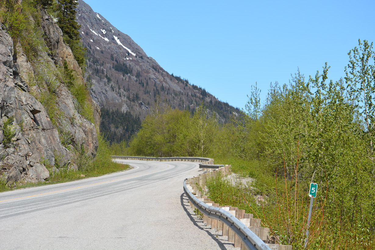
SR 98 passes by Bridal Veil Falls by mile marker 10.
05/16/23
05/16/23
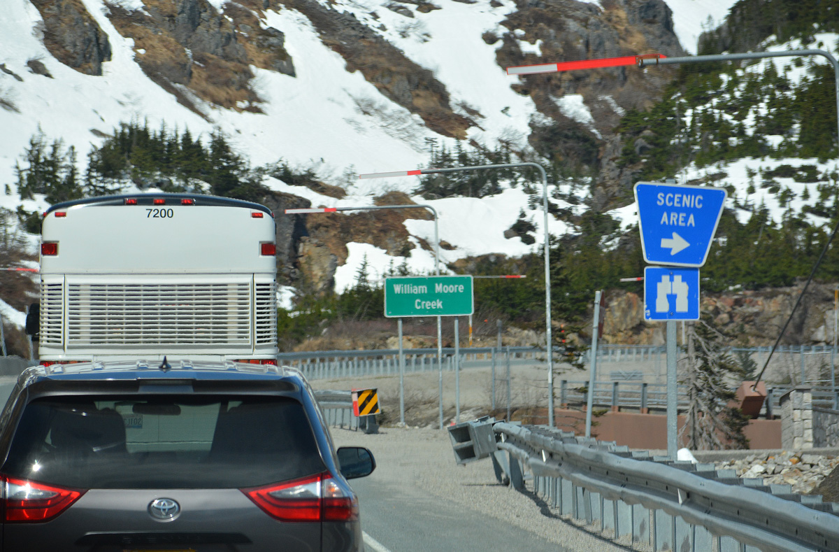
The historic Captain William Moore Bridge was repurposed as a scenic area when a realignment of SR 98 across William Moore Creek opened to the west.
05/16/23
05/16/23
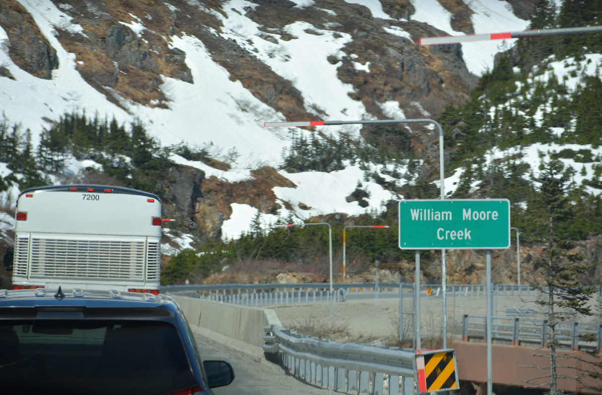
William Moore Creek flows beside Mount Cleveland and below SR 98 near mile marker 11 southward into the Skagway River.
05/16/23
05/16/23
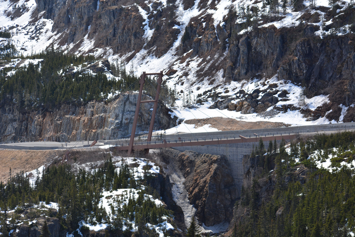
The Captain William Henry Moore Bridge is a 110 foot long suspension bridge built in 1976.2 Bypassed in 2018, the span is open to pedestrians.
05/16/23
05/16/23
Looking south from a scenic pull out near milepost 12 toward Porcupine Hill.
05/16/23
05/16/23
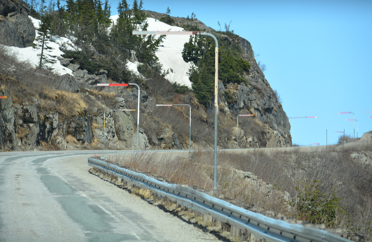
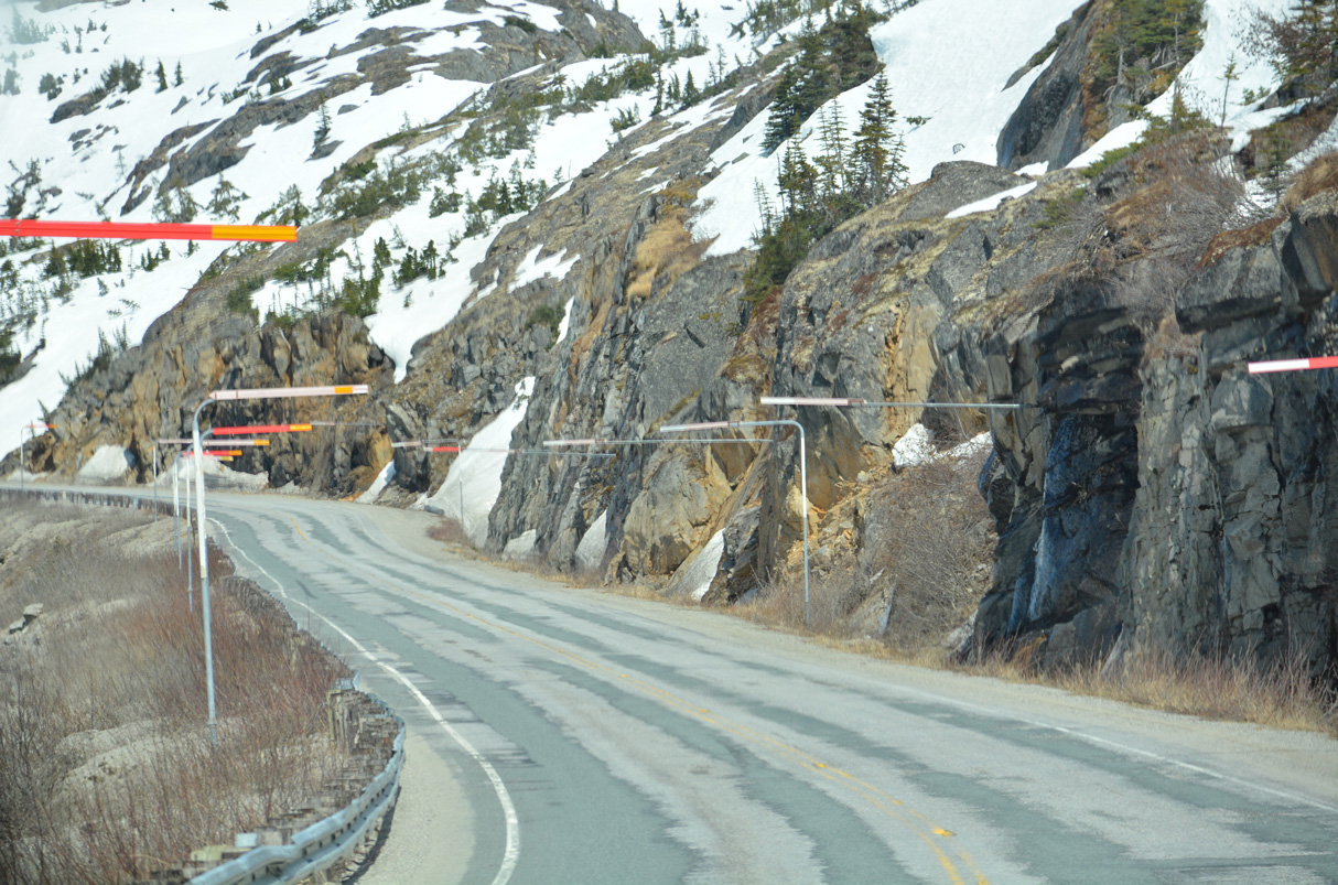
A pronounced fault line crosses Klondike Highway near William Moore Creek.
05/16/23
05/16/23
05/16/23
05/16/23
05/16/23
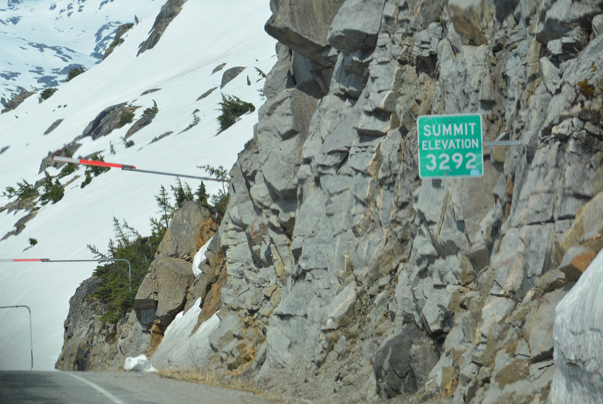
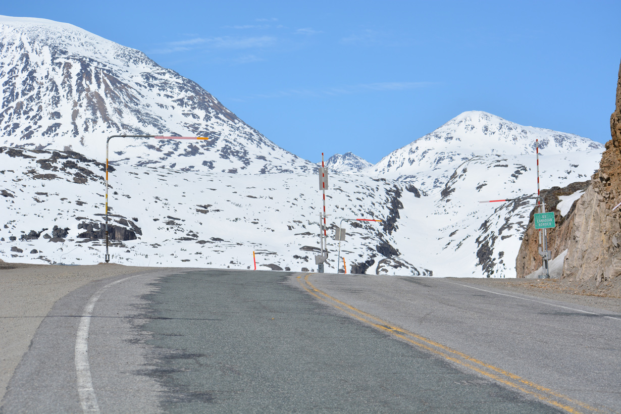
Klondike Highway rises to a summit of 3,292 feet above sea level just south of the Canadian border.
05/16/23
05/16/23
05/16/23
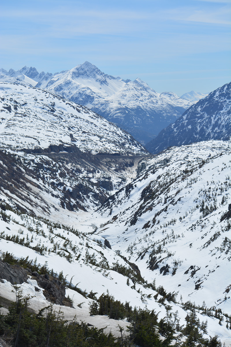
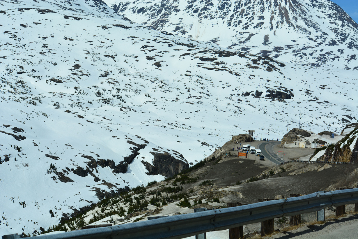
A scenic pull off lies just south of the International Border.
05/16/23
05/16/23
05/16/23
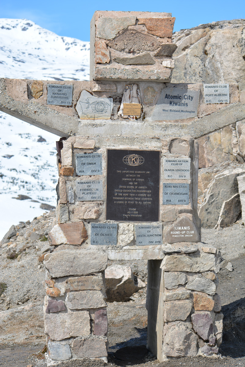
A stone monument at the border includes a plaque acknowledging the unfortified boundary line between the Dominion of Canada and the United States of America.
05/16/23
05/16/23
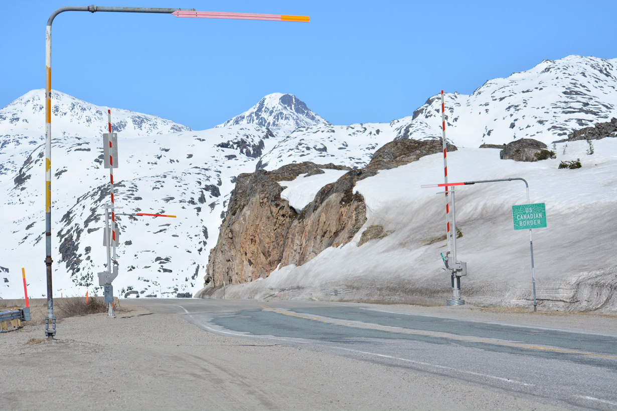
Klondike Highway continues north from Alaska State Route 98 as British Columbia Highway 2.
05/16/23
05/16/23
References:
- ADOTP&F Tackles Challenges to Replace Capt. Moore Bridge. CosntructionEquipmentGuide.com web site.
- Project Spotlight: Captain William Henry Moore Bridge. National Corrugated Steel Pipe Association web site.
Photo Credits:
- Alex Nitzman: 05/16/23
Page Updated Thursday May 25, 2023.