
State Route 49
82.69 miles in length, SR 49 constitutes a rural route from Interstate 85 at Franklin to SR 281 in Talladega National Forest near Mt. Cheaha. SR 49 heads north from central Macon County near Tuskegee to U.S. 280 at the Tallapoosa County seat of Dadeville. Following a 1.16 mile long overlap with U.S. 280, SR 49 resumes north to Horseshoe Bend National Military Park and SR 22 at New Site.
Continuing into Clay County, SR 49 combines with SR 77 for 2.18 miles north of Mellow Valley. SR 49 proceeds to the city of Lineville and across Shinbone Ridge at Cauley Gap. The state route concludes north of Union, but historically followed SR 281 northeast across Horseblock Mountain to U.S. 431 at Five Points.
 North
North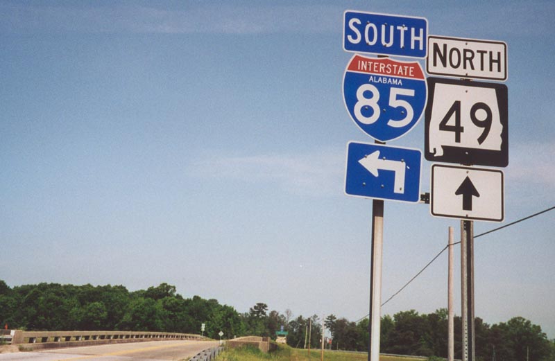
Tuskegee-Franklin Road stems north from CR 30 and CR 51 to meet Interstate 85 at a diamond interchange (Exit 32). SR 49 begins here and follows Tuskegee-Franklin Road north through the town of Franklin.
04/21/01
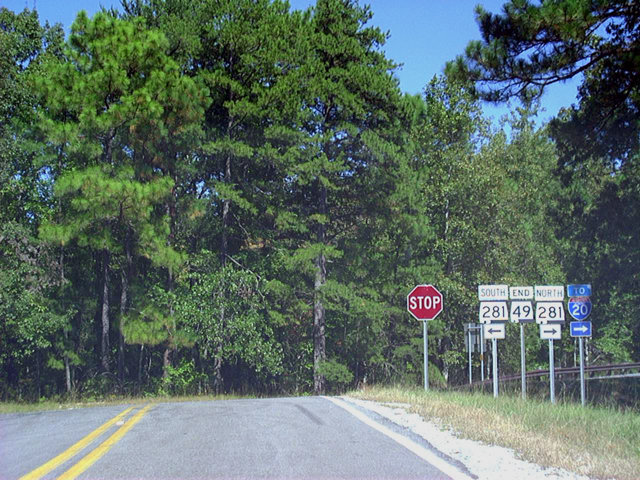
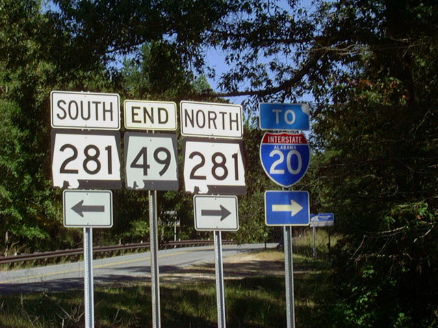
SR 49 winds north through Talladega National Forest to end at SR 281 (Talladega Scenic Drive). The two routes intersect three miles east of Mt. Cheaha (el. 2,405 feet), the highest point in Alabama. SR 281 north leads to U.S. 431 and I-20.
09/29/03
 South
South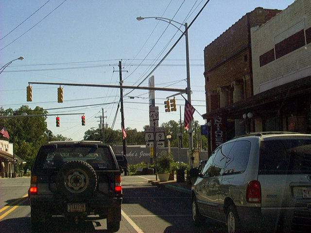
Entering Downtown Lineville, SR 49 intersects SR 9. SR 9 travels six miles west to the Clay County seat of Ashland and 25 miles north to the Cleburne County seat of Heflin.
09/29/03
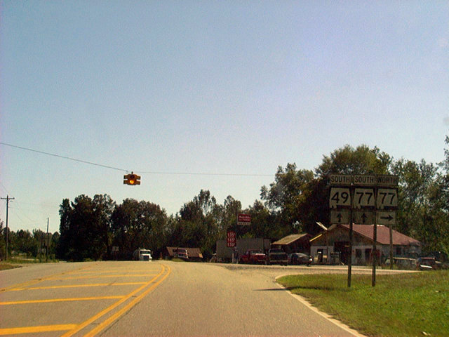
Six miles south of Lineville, SR 49 combines with SR 77 for a two mile overlap. SR 77 north travels six miles northwest to Ashland.
09/29/03
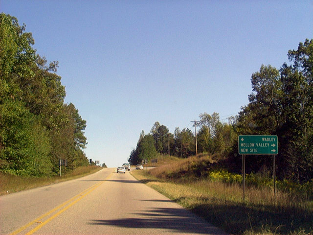
Approaching the split of SR 49/77 southbound. SR 77 turns southeast 13 miles to the town of Wadley while SR 49 advances south to nearby Mellow Valley and 11 miles to New Site.
09/29/03

SR 77 south ends 32 miles from the separation with SR 49 at U.S. 431 near the Chambers County seat of Lafayette. SR 49 continues another 60 miles to its terminus at I-85.
09/29/03
Photo Credits:
- Alex Nitzman: 04/21/01, 09/29/03
Connect with:
Page Updated Friday November 21, 2003.