
State Route 281 - Talladega Scenic Drive


Known as Talladega Scenic Drive, Alabama State Route 281 travels on its 26.33 mile course from Adams Gap in Clay County to U.S. 78 west of Heflin. Traveling through Talladega National Forest and Cheaha State Park, mileposts along SR 281 range from 470.762 to 493.752.
 North
North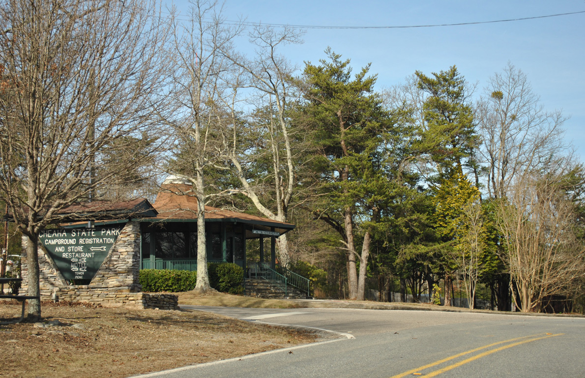
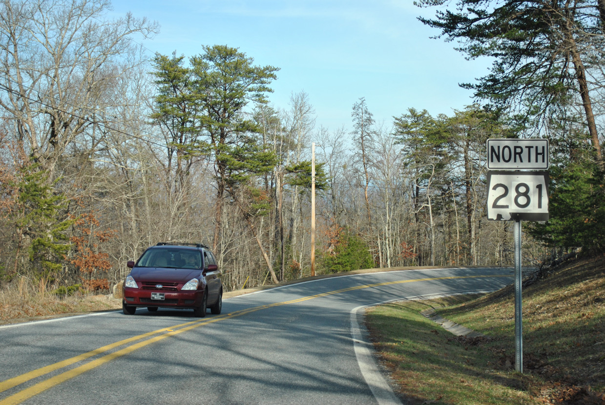
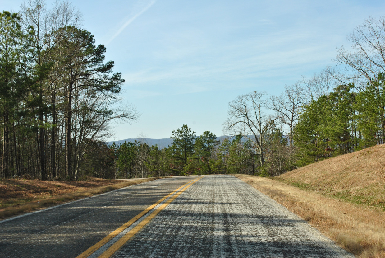
SR 281 runs along the west side of Talladega Mountain from Adams Gap seven miles to the main entrance for Cheaha State Park.
01/21/13
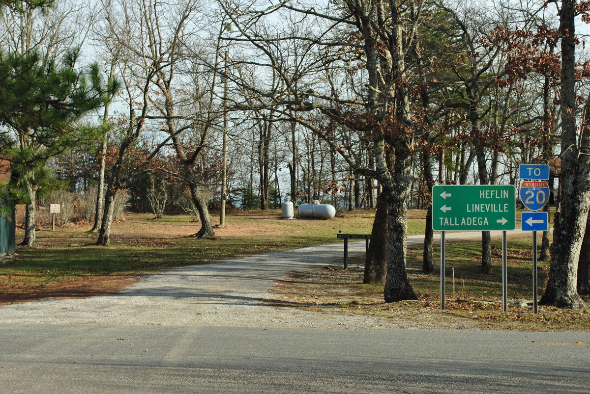
An I-20 trailblazer and guide sign direct visitors leaving Cheaha State Park to SR 281 north to Heflin via U.S. 78 and south to Talladega via CR 12.
01/21/13
SR 281 turns southward through a horse shoe curve beyond the entrance to Cheaha State Park.
01/21/13
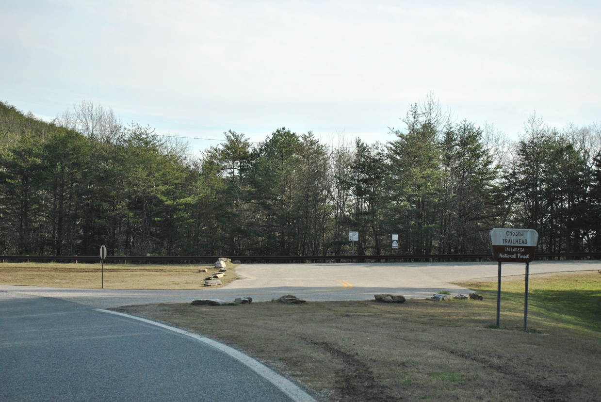
Advancing a half mile, SR 281 turns east at the Cheaha Trailhead parking area.
01/21/13

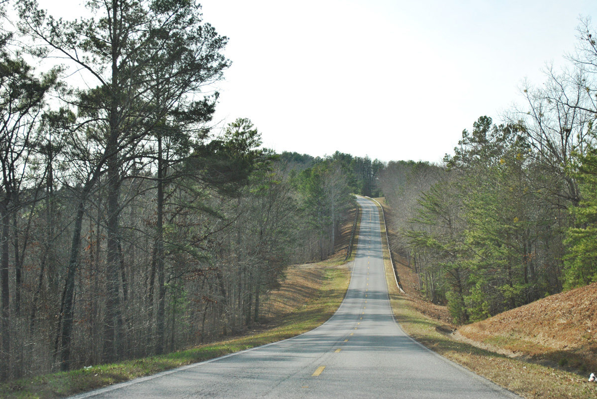
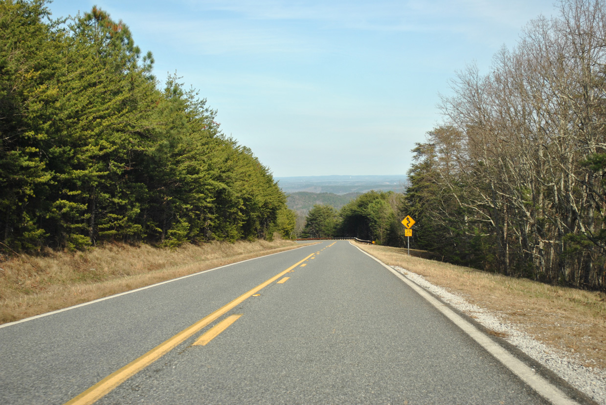
SR 281 navigates through a series of horse shoe and S-curves on the northern drive out from Cheaha State Park to SR 49.
01/21/13
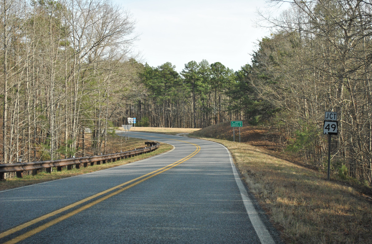
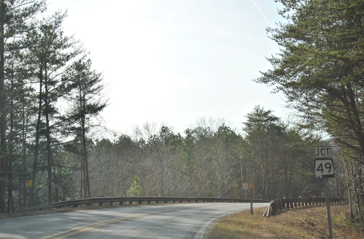
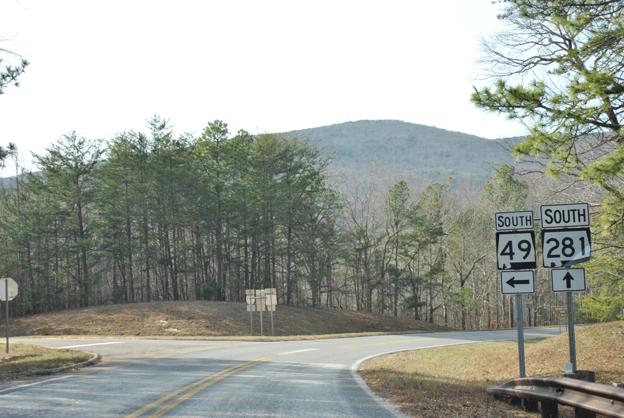
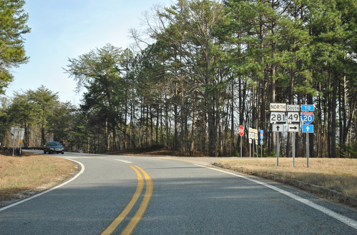
Approaching the north end of SR 49 on SR 281 (Talladega Scenic Drive).
01/21/13
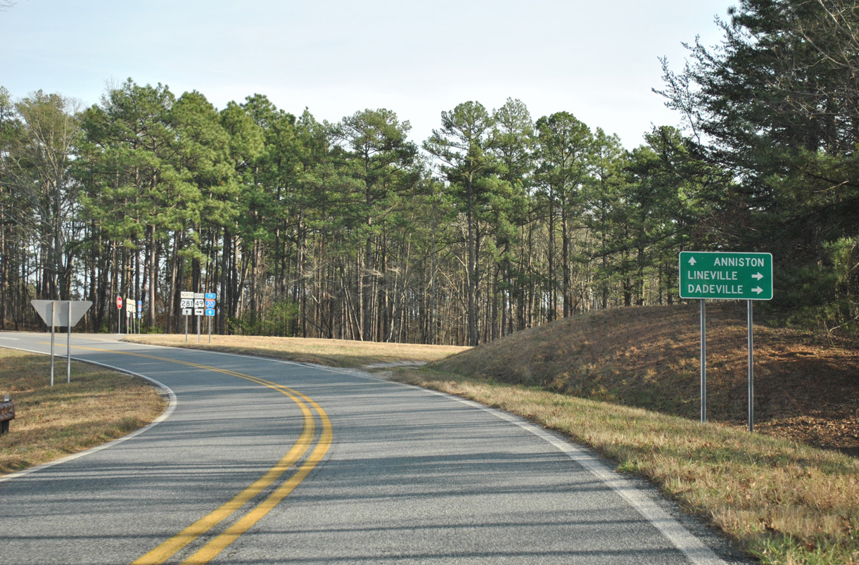
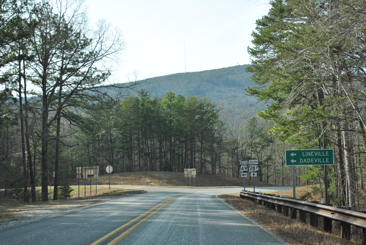
SR 49 travels 14 miles south from SR 281 to Lineville and 83 miles overall to Interstate 85 in Macon County.
01/21/13
South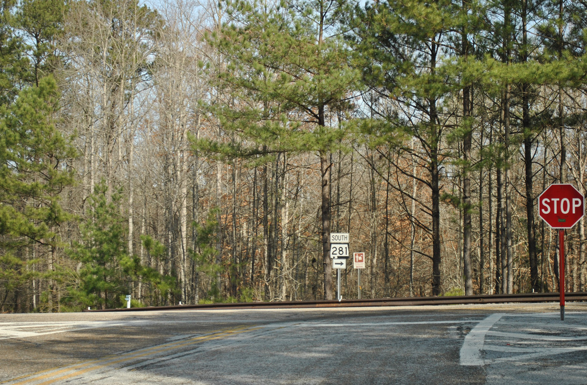
A grade separated intersection links U.S. 78 & SR 9 with SR 281 south by the railroad siding of Cleburne in Talladega National Forest.
01/21/13

SR 281 crosses over U.S. 78/SR 9 on an overpass built in 1979 ahead of the first southbound shield assembly.
01/21/13
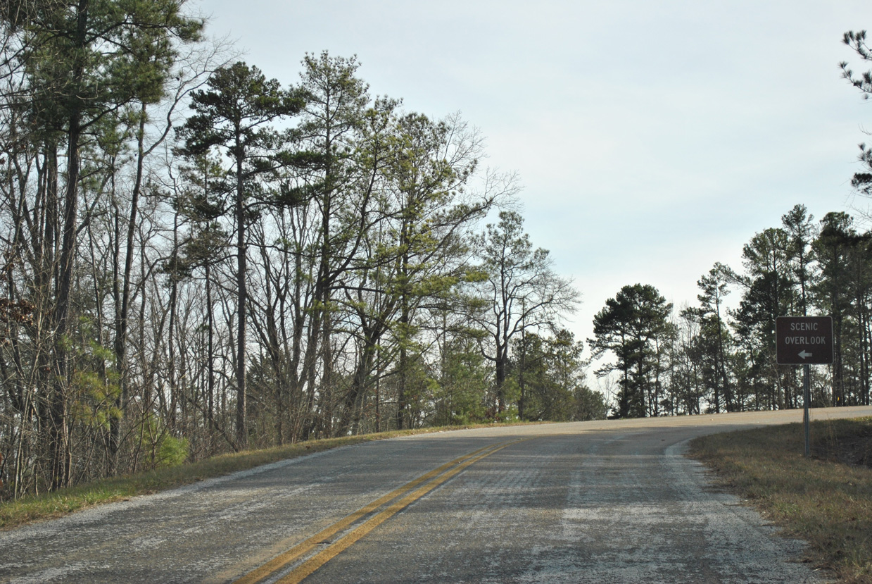
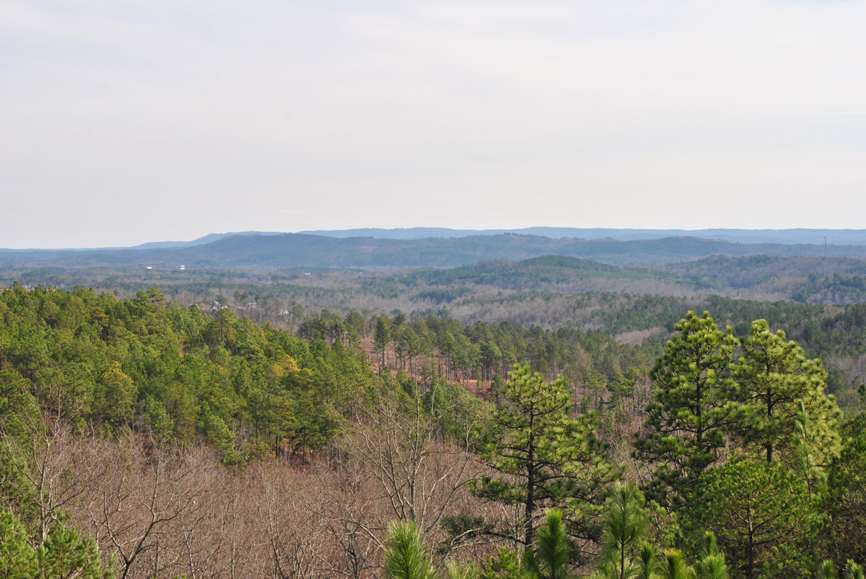
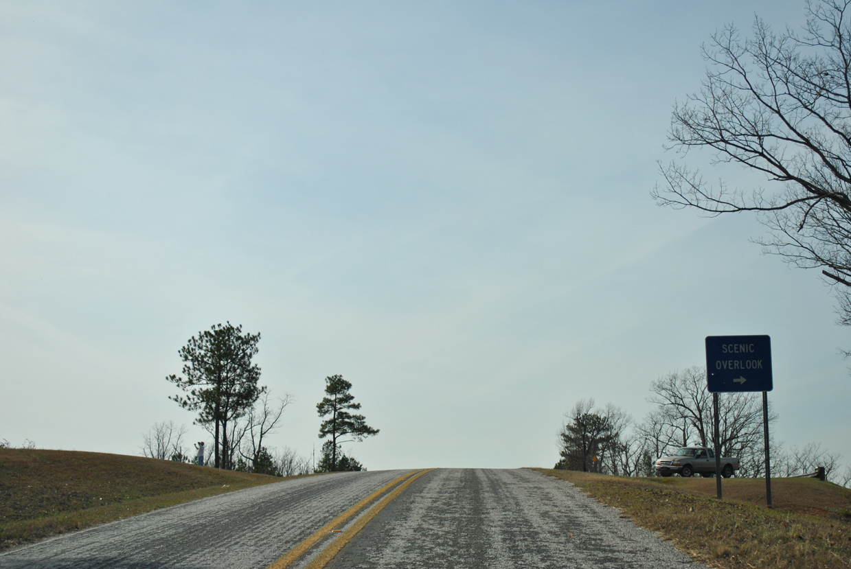
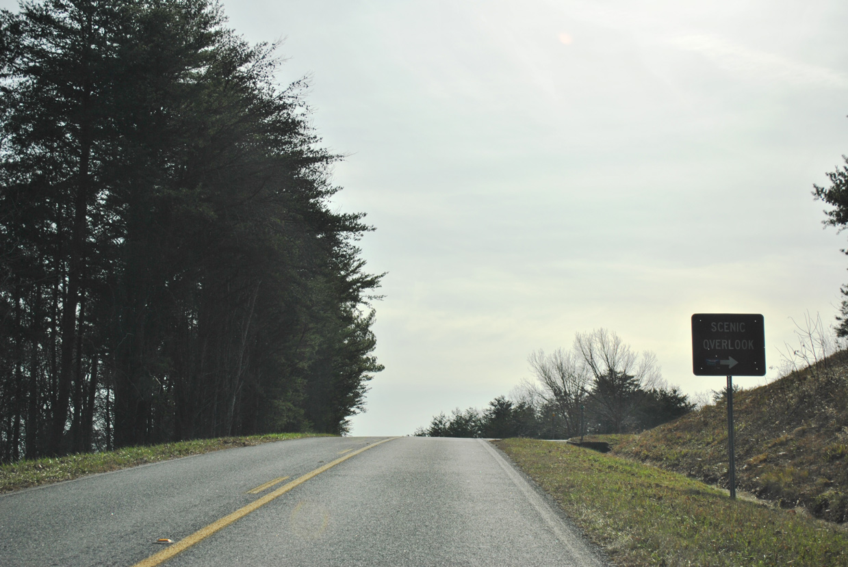
Gaining 200 feet in elevation, SR 281 winds southward from U.S. 78 onto Horseblock Mountain to the first scenic overlook.
01/21/13

A second scenic overlook on Horseblock Mountain lies 0.9 miles south of U.S. 78.
01/21/13
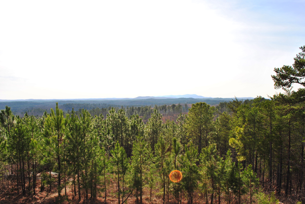
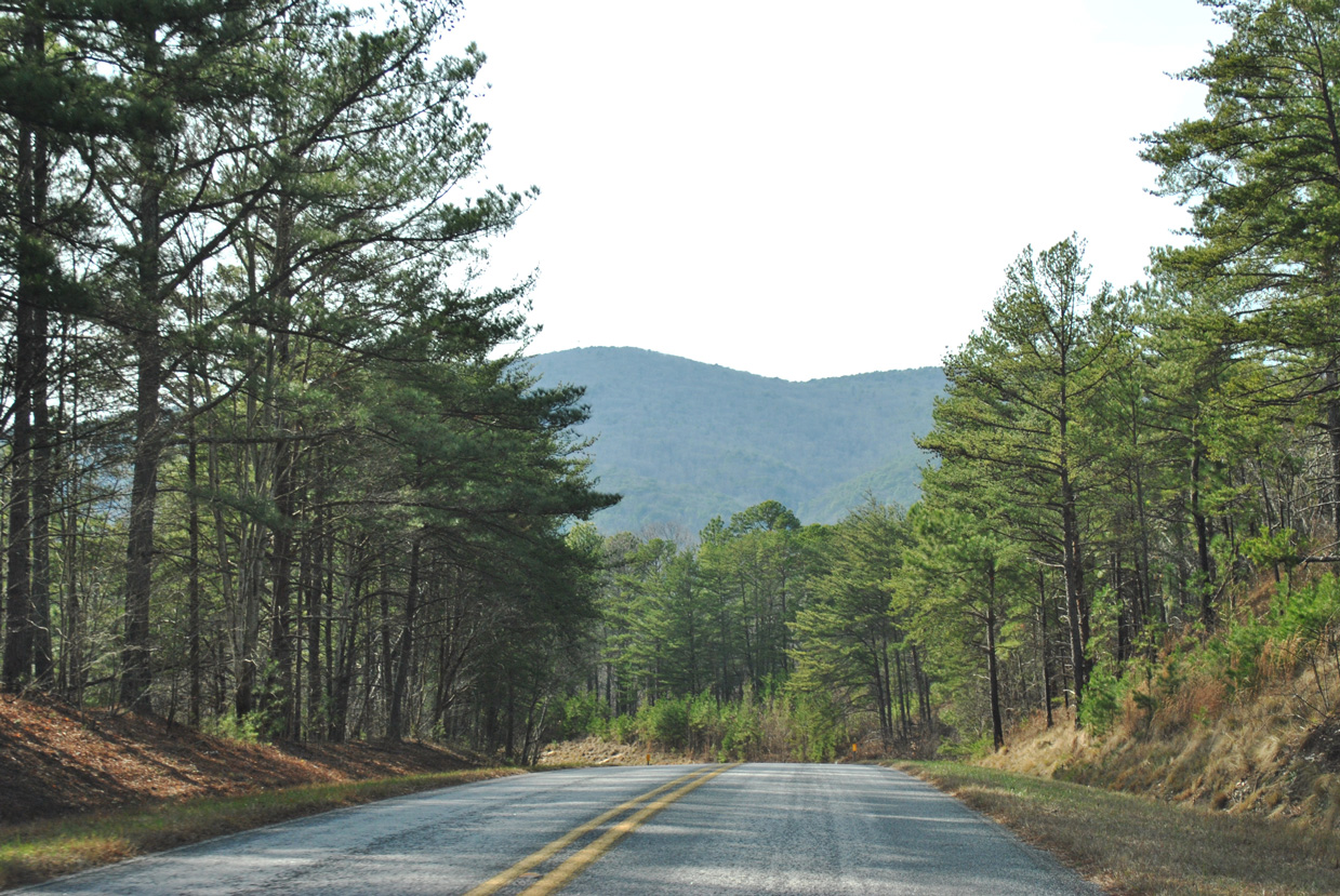
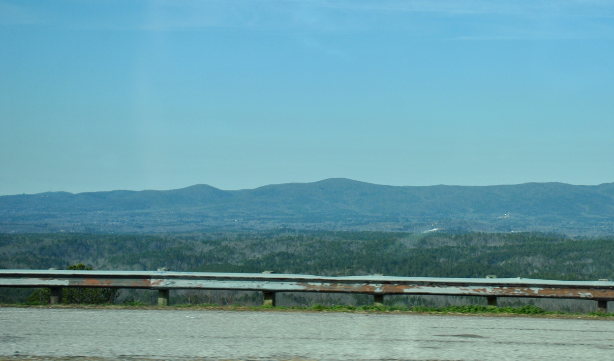
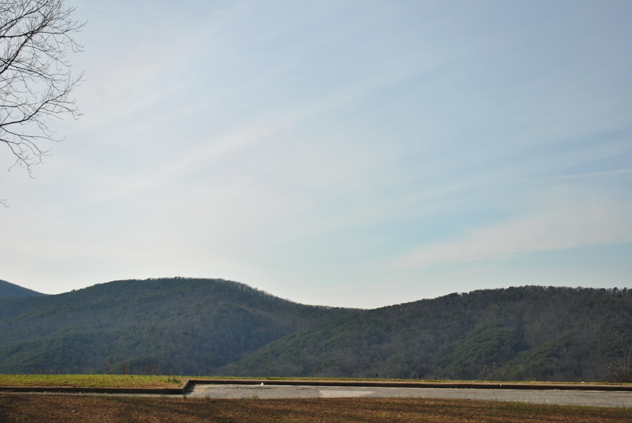
Cheaha Mountain, the highest in the state of Alabama at 2,405 feet above sea level, rises to the southwest of Horseblock Mountain.
01/21/13
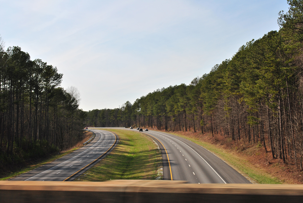
A number of S-curves take SR 281 (Talladega Scenic Drive) southwest from the second overlook 2.5 miles to I-20. The state route peaks at 1,243 feet above sea level on this stretch.
01/21/13
Lowering to 1,000 feet above sea level, SR 281 crosses over Interstate 20 with no direct access.
01/21/13
The bridge spanning I-20 along SR 281 was built in 1969.
01/21/13
SR 281 crosses Interstate 20, 0.752 miles north of mile marker 493.
01/21/13
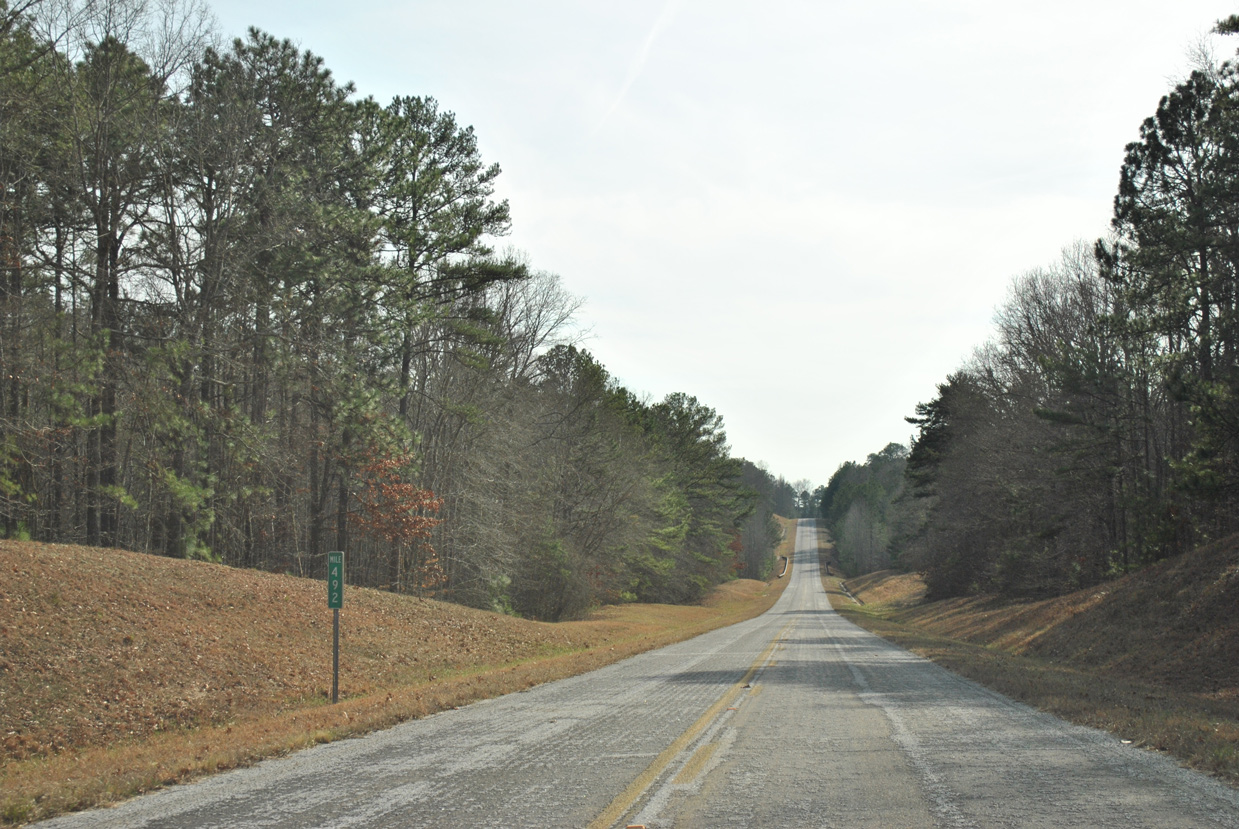
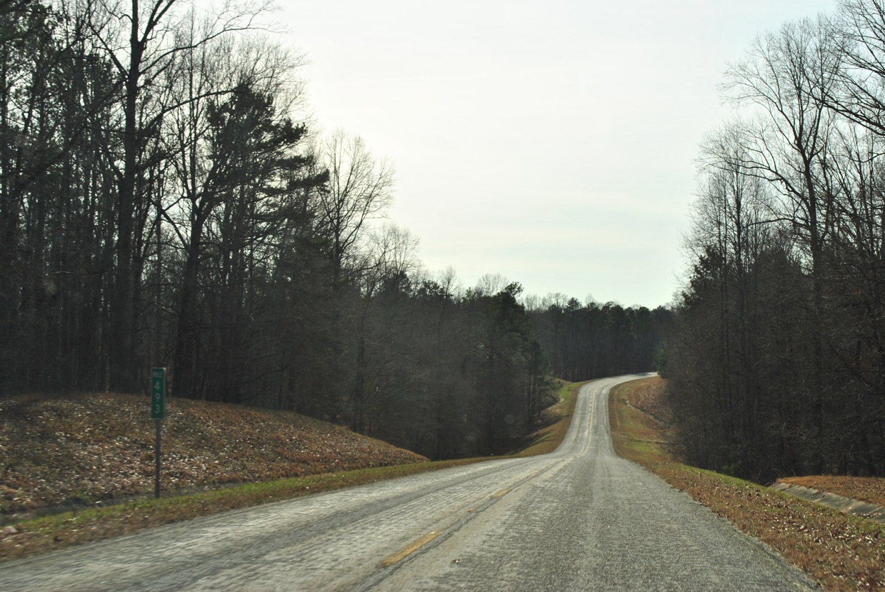
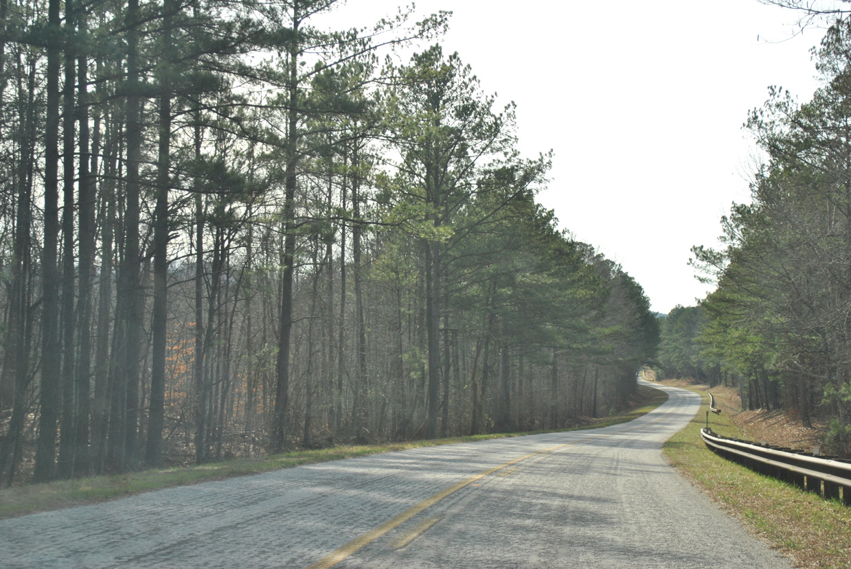
Continuing southwest along Horseblock Mountain to mile marker 492.
01/21/13
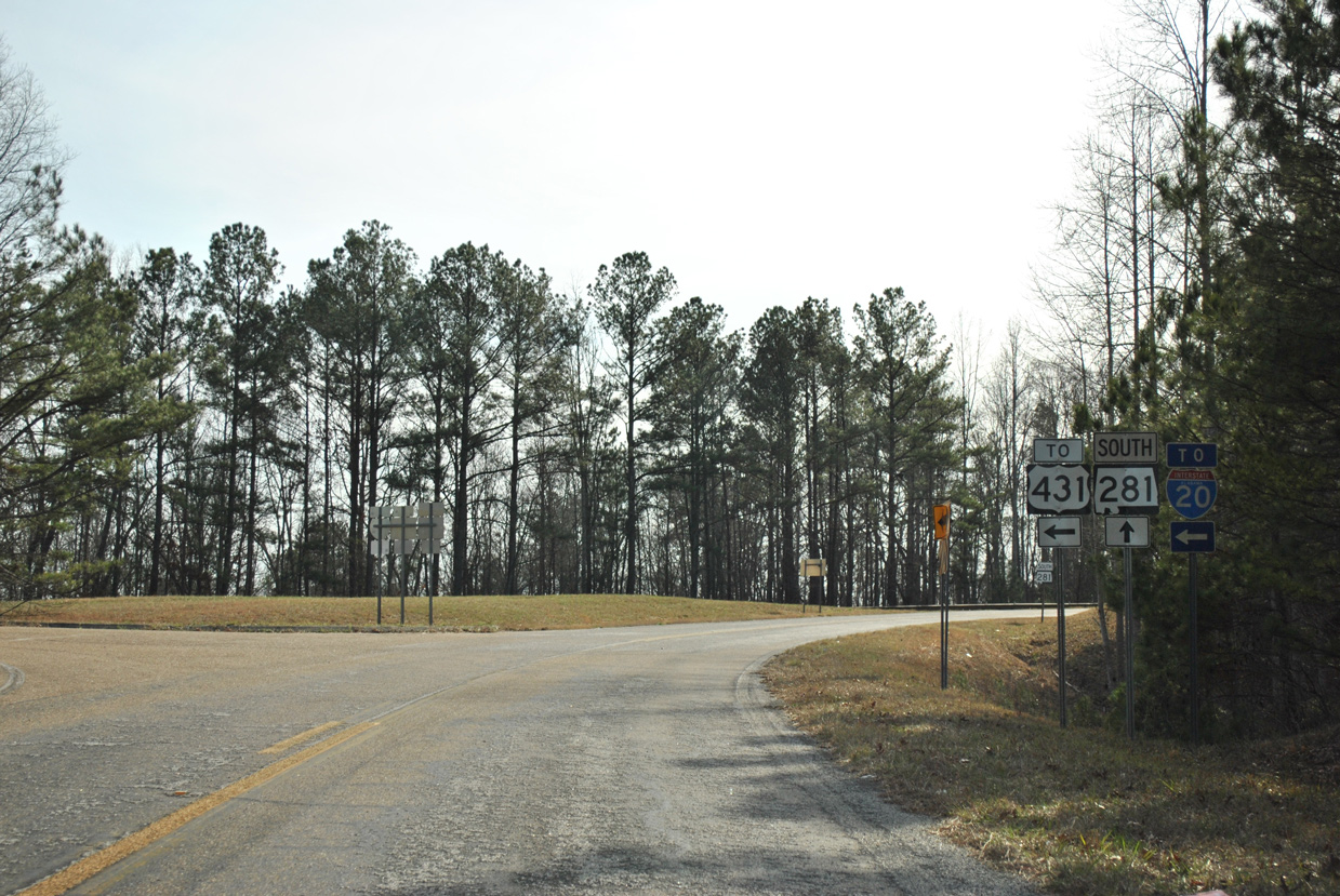
A 1978-built overpass carries SR 281 (Talladega Scenic Drive) across U.S. 431 near Five Points. County Road 131 links the two highways a the ensuing intersection southbound.
01/21/13
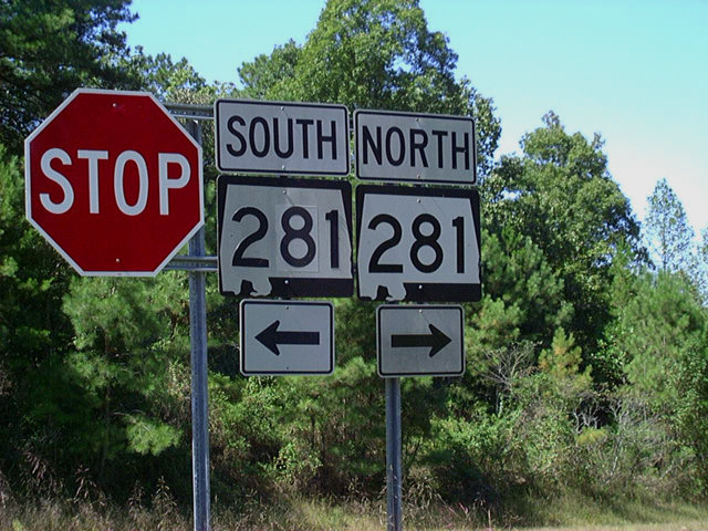
SR 281 shields located at the south end of unsigned CR 131.
09/29/03
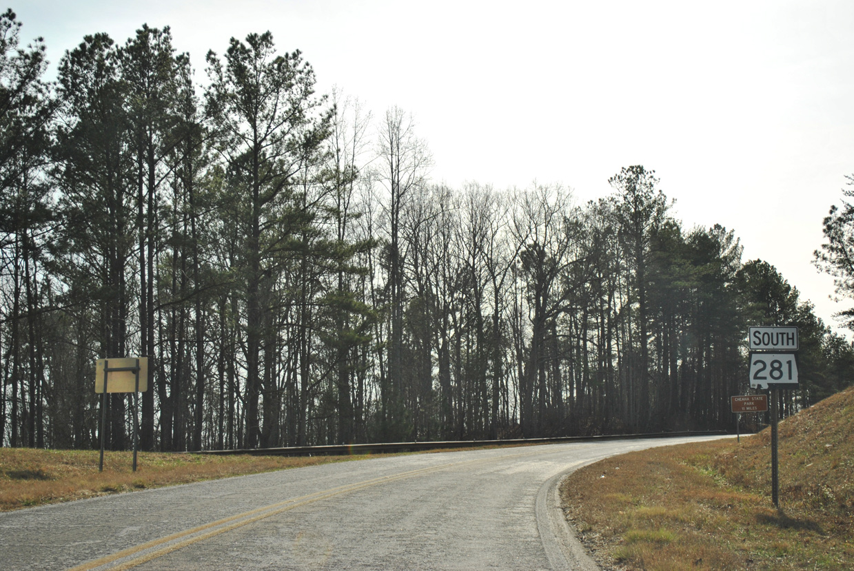
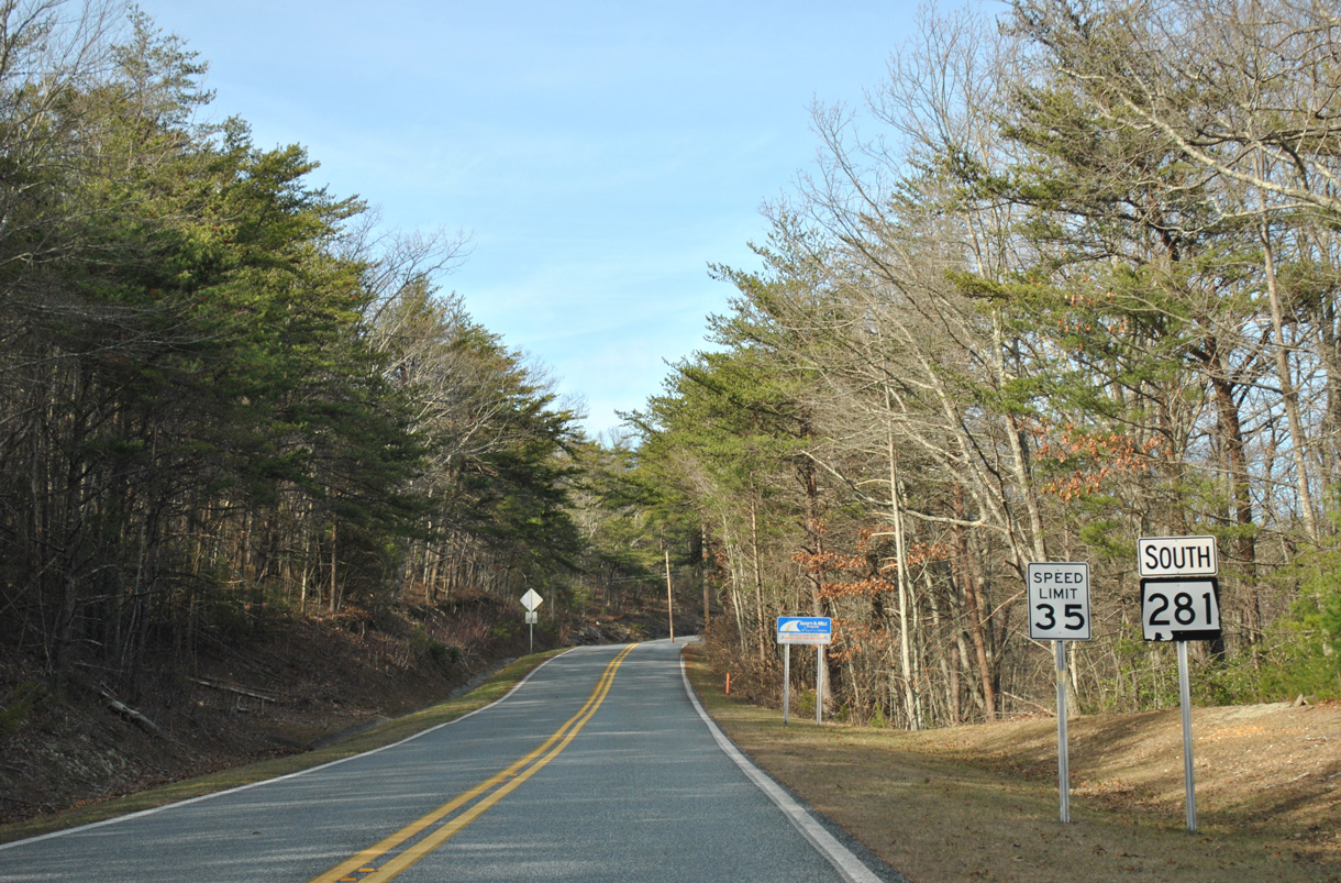
Talladega Scenic Drive winds 11 miles southwest from CR 131 near Five Points and U.S. 431 to Cheaha State Park.
01/21/13
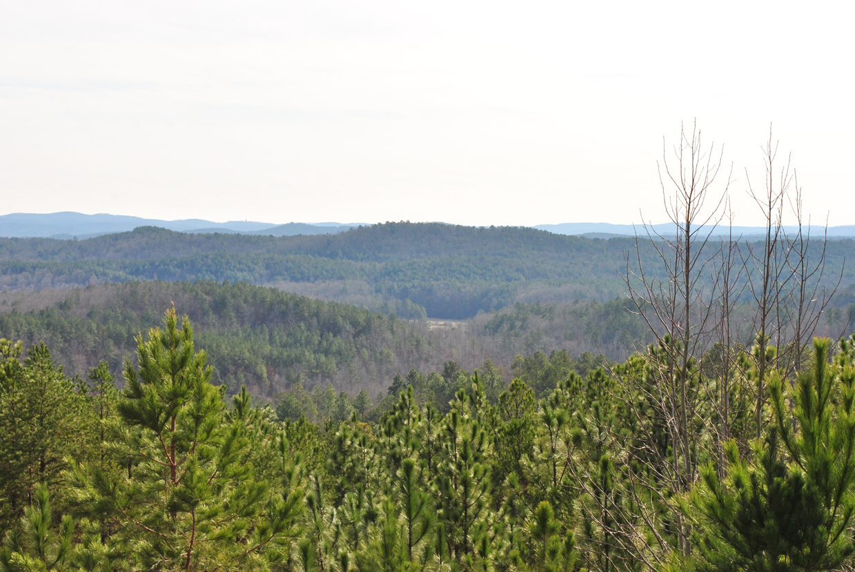
A third scenic overlook on Horseblock Mountain follows on SR 281 southbound at an elevation of 1,385 feet above sea level.
01/21/13
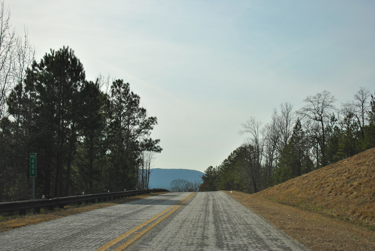
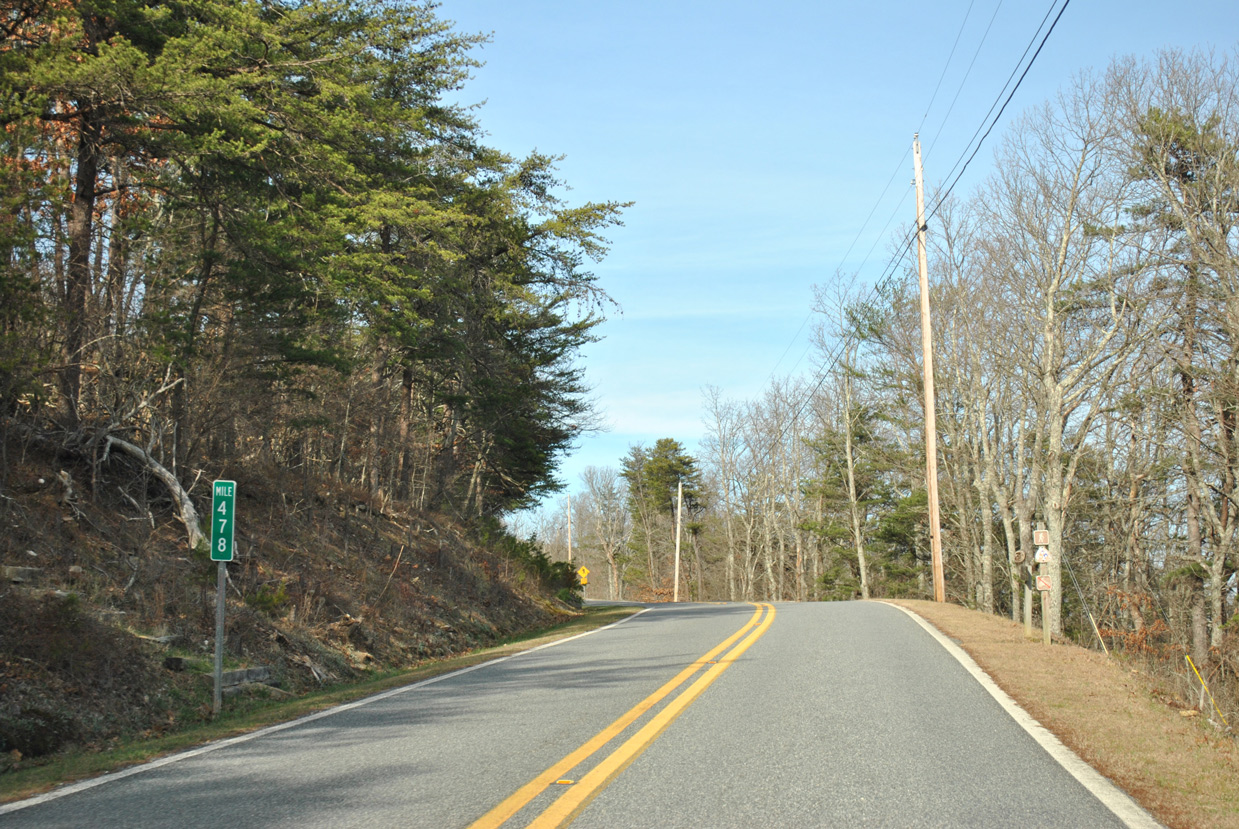
Mile marker 488 stands along SR 281 south near Morgan Lake and Abel Gap.
01/21/13
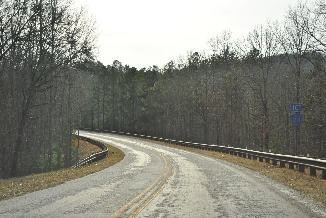
SR 281 curves southwest to a grade separated intersection with County Road 24 at Abel Gap.
01/21/13
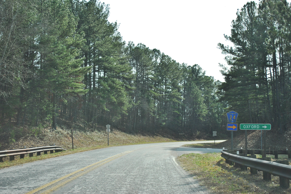
County Road 24 branches west from U.S. 431 near Hollis Crossroads to Abel and SR 281. Crossing the Calhoun County line to the northwest, CR 24 becomes Jennifer Lane leading to the outskirts of Oxford.
01/21/13

Reassurance marker posted south of the connector with County Road 24 at Abel Gap.
01/21/13
SR 281 climbs around 400 feet in elevation on the four mile drive south from the CR 24 underpass to the Cheaha Scenic Overlook.
01/21/13
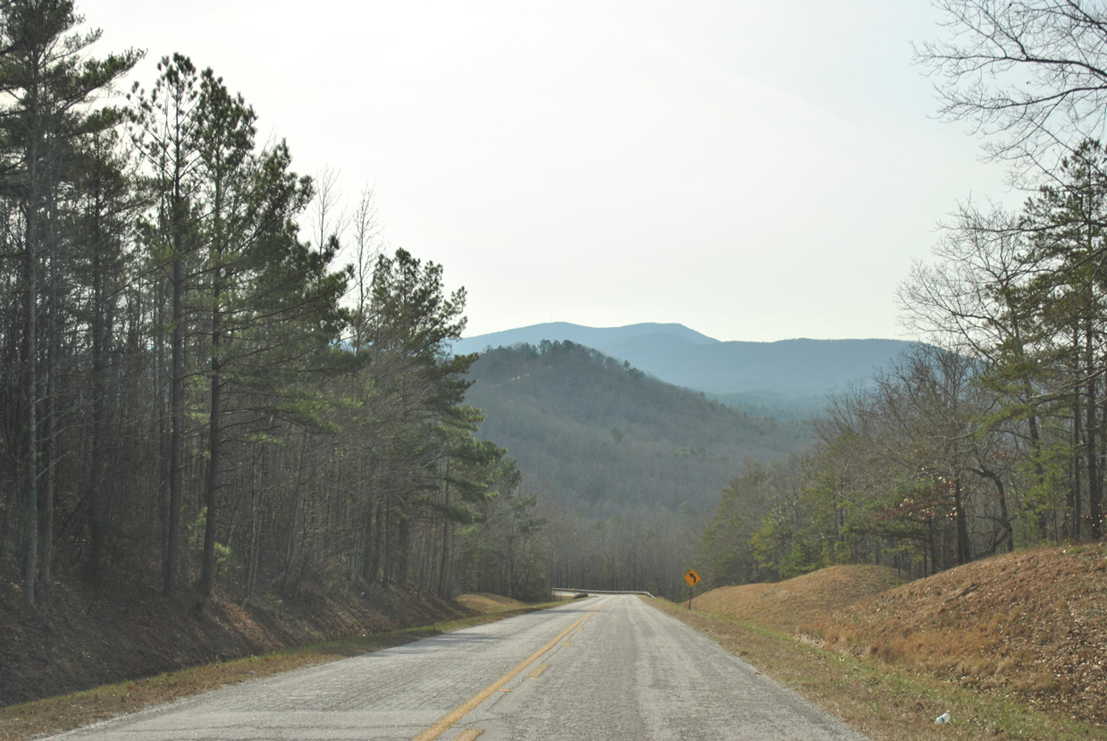
Blue Mountain and Cheaha Mountain rise just west of Horseblock Mountain.
01/21/13
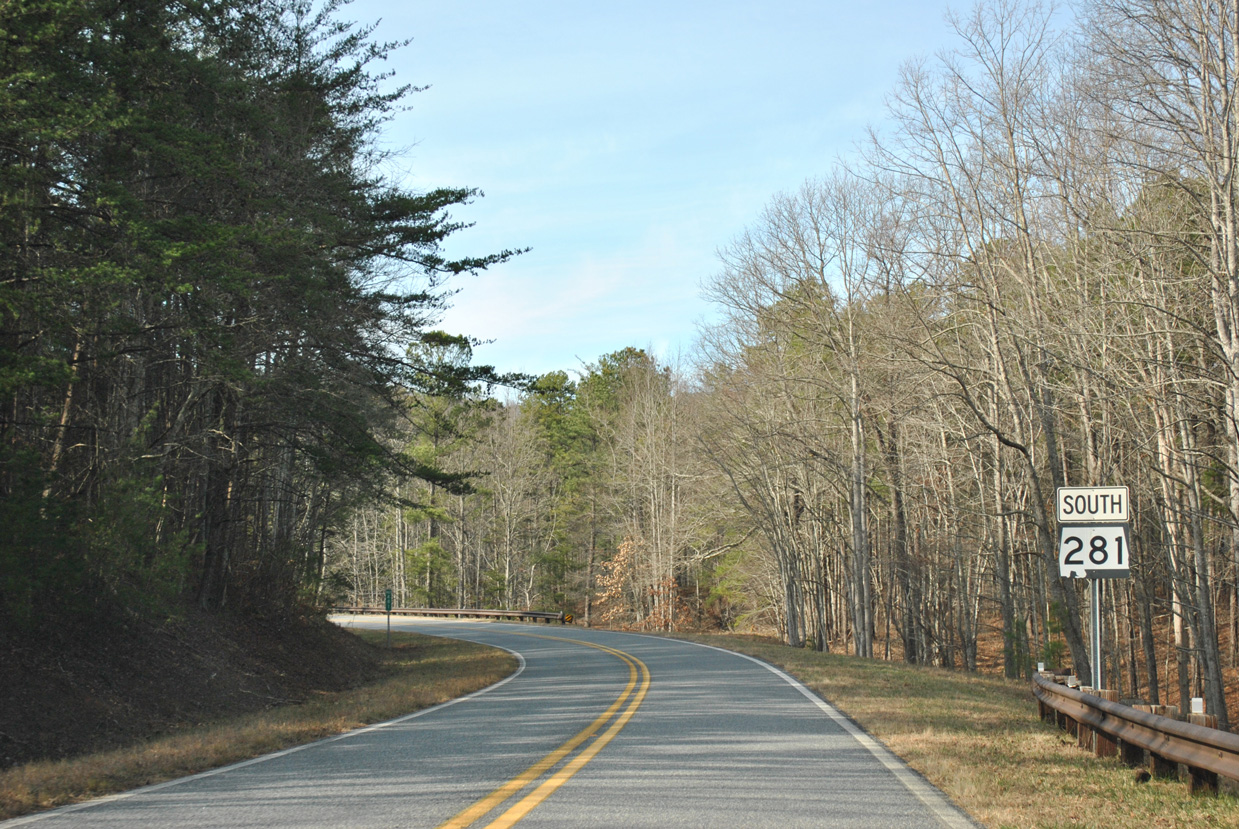
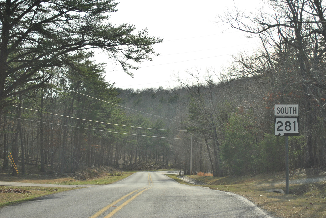
SR 49 ascends from Shibone Valley to conclude at SR 281 just inside Cleburne County.
01/21/13
Leading south from the wye intersection with SR 281, SR 49 travels 14 miles to the city of Lineville. The Tallapoosa County seat of Dadeville lies 39 miles further.
01/21/13
SR 49 extends 83 miles south from SR 281 to Interstate 85 near Tuskegee.
01/21/13
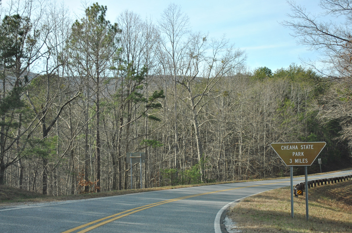
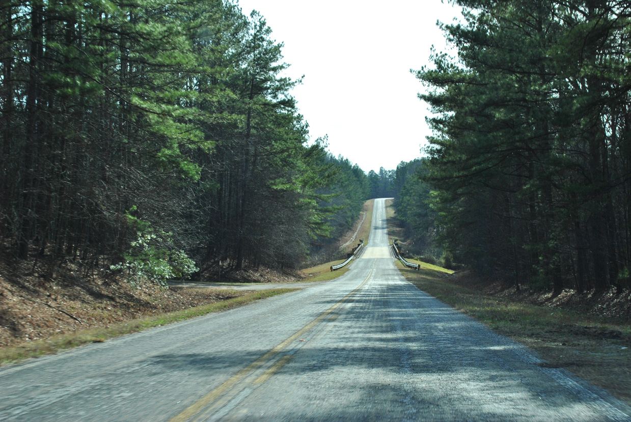
SR 281 navigates through a pair of horseshoe curves on the three mile drive from SR 49 to Cheaha State Park.
01/21/13
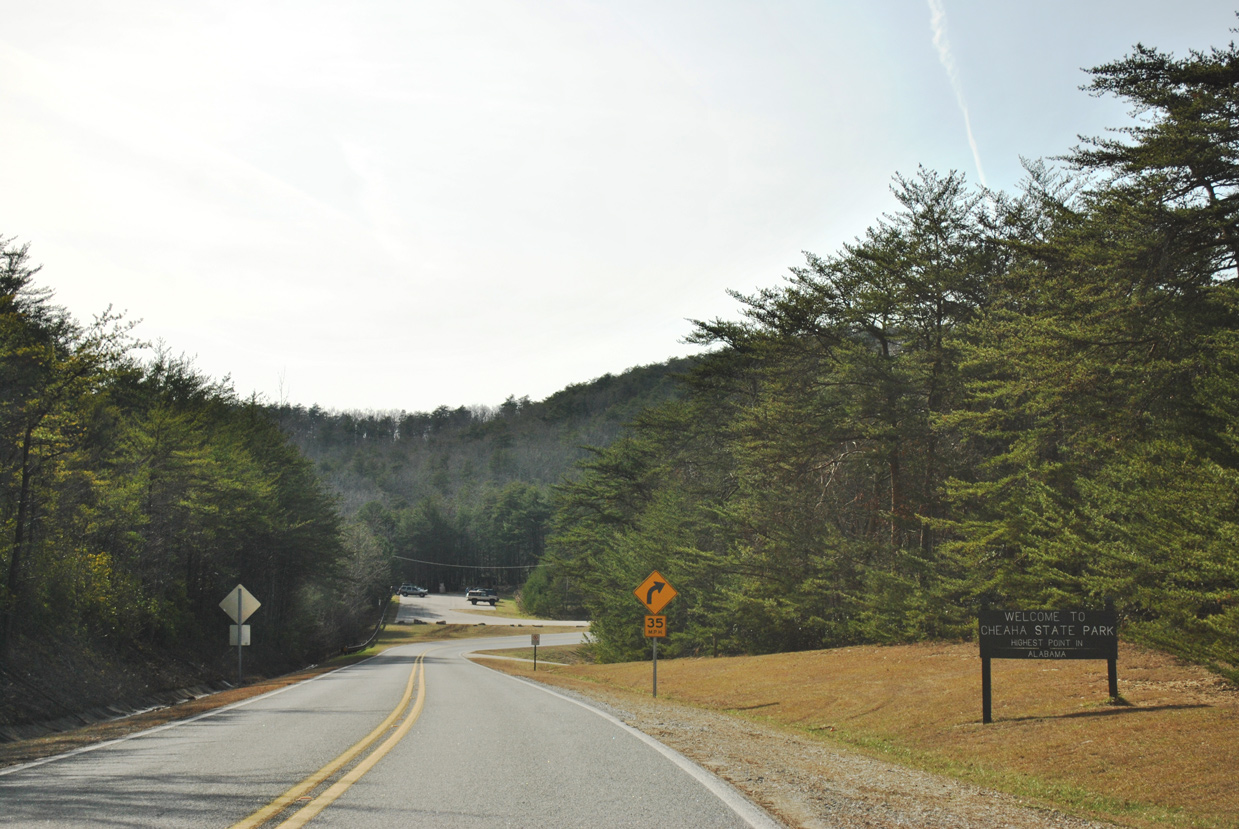
Southbound SR 281 (Talladega Scenic Drive) reaches Cheaha State Park at the Cave Creek Trailhead.
01/21/13
Turning north, SR 281 climbs 190 feet on the half mile stretch leading to the Cheaha State Park Campground, restaurant and motel.
01/21/13
This reassurance marker stands beyond the main entrance into Cheaha State Park.
01/21/13
Photo Credits:
- ABRoads: 01/21/13
- Alex Nitzman: 09/29/03
Connect with:
Page Updated Wednesday January 09, 2019.