
Alaskan Way
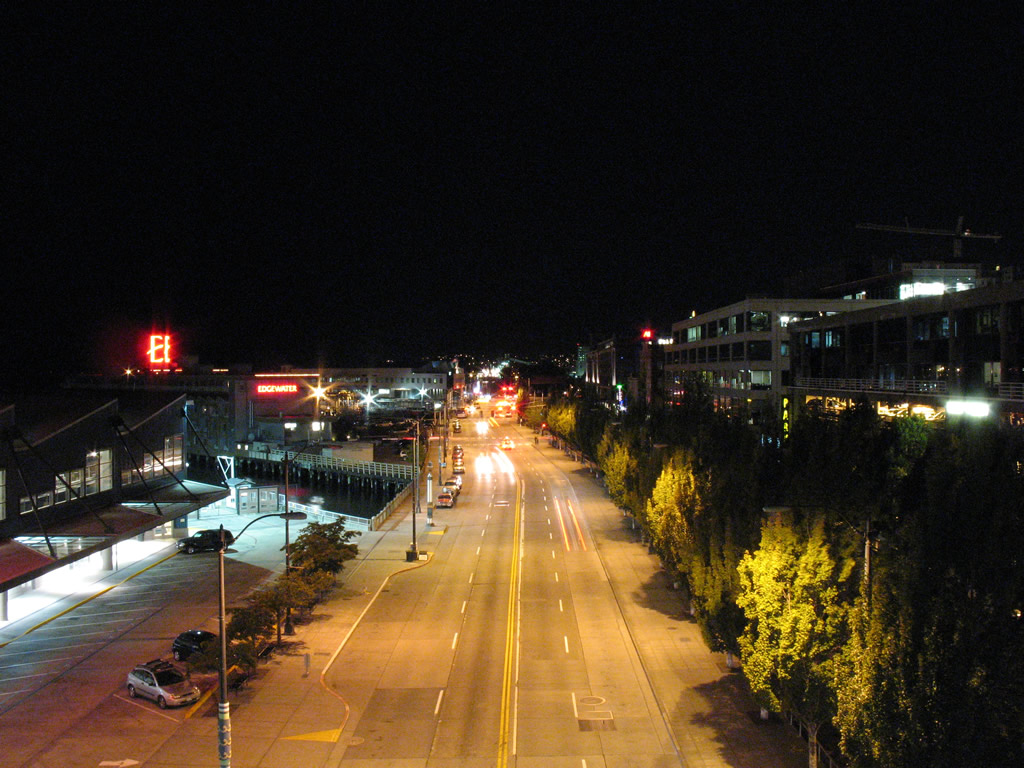
Looking west from the Pier 66 skywalk at Alaskan Way toward the Belltown section north of Downtown Seattle.
08/28/06
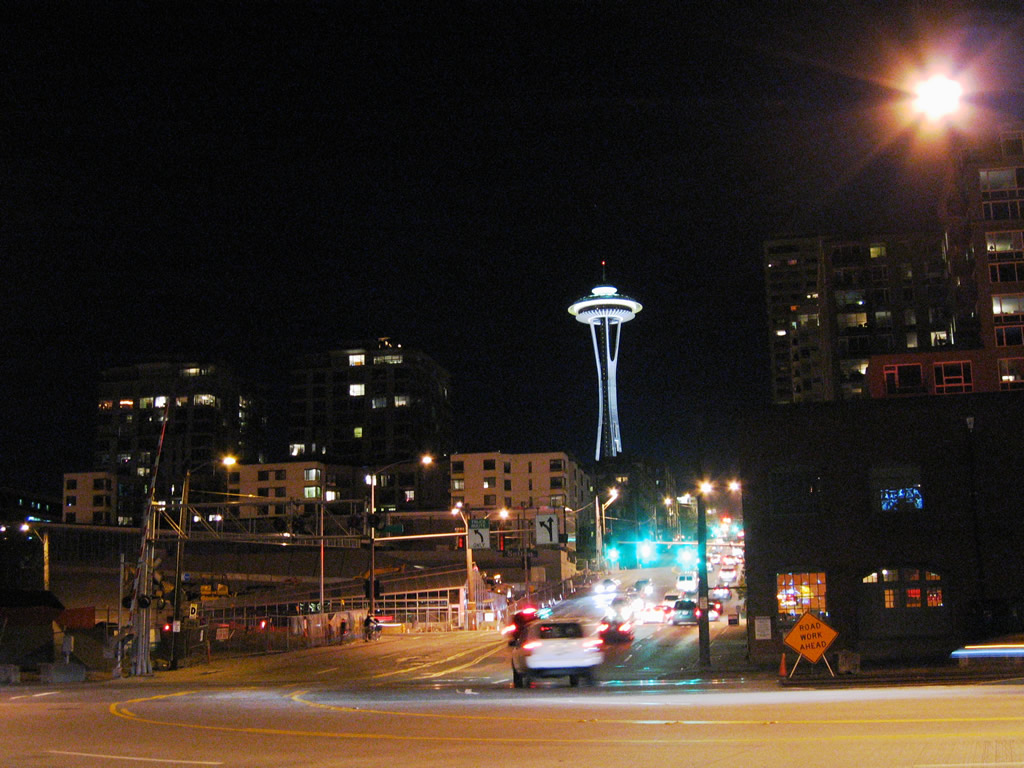
Alaskan Way curves northward to become Broad Street from the bay front toward Seattle Center.
08/28/06
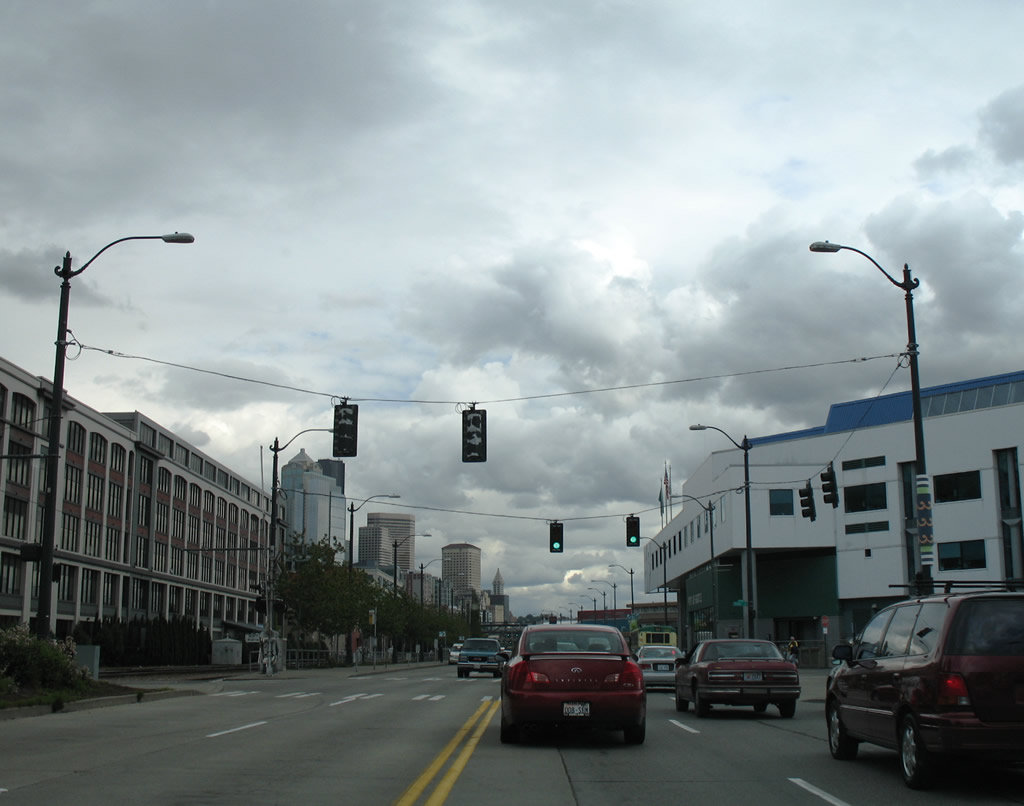
Alaskan Way lines Elliott Bay and the various piers and wharfs along the Downtown Seattle water front. Pictured here is the boulevard south at Clay Street adjacent to the Port of Seattle pier.
08/30/06
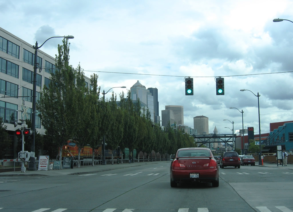
A BNSF engine approached Wall Street in this Alaskan Way southbound scene.
08/30/06
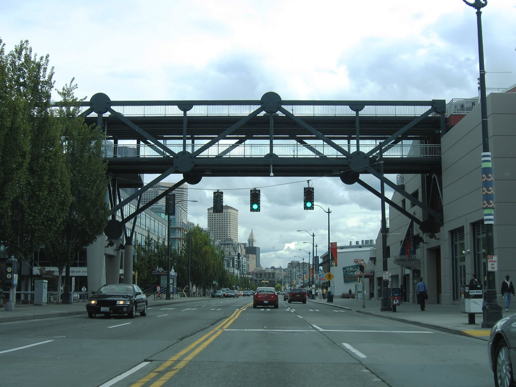
A pedestrian overpass links Pier 66 and the Bell Street Cruise Terminal with Bell Street at Elliott Avenue.
08/30/06
08/28/06
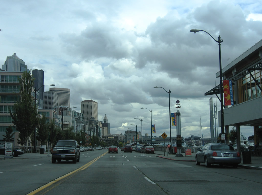
Continuing south from Pier 66 toward the Seattle Aquarium along Alaskan Way. The parallel BNSF Railroad diverges from the boulevard and enters a tunnel to S Washington Street by 4th Avenue S.
08/30/06
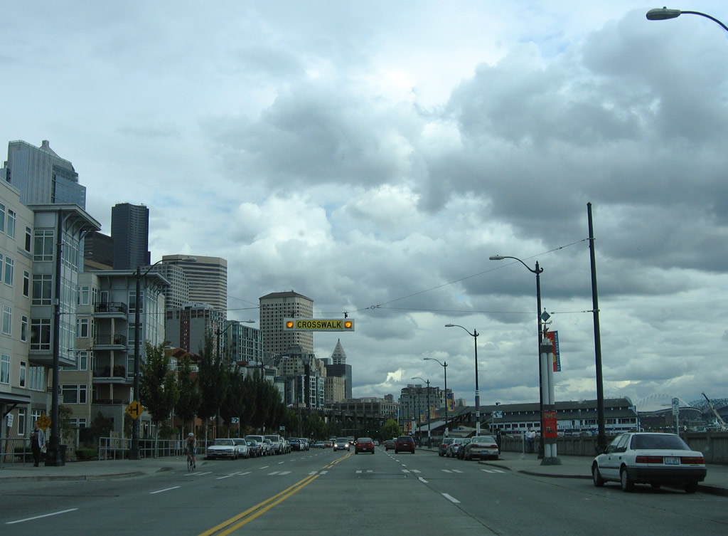
An illuminated crosswalk sign and signals accompany the walkway connecting Alaskan Way with Lenora Street.
08/30/06
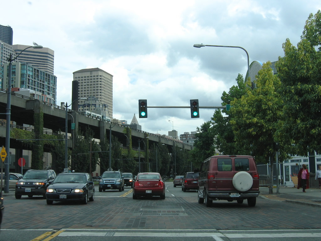
Alaskan Way and the Alaskan Way Viaduct converged west of Pike Place Market. A traffic light operated at a parking area sandwiched between the two roadways.
08/30/06
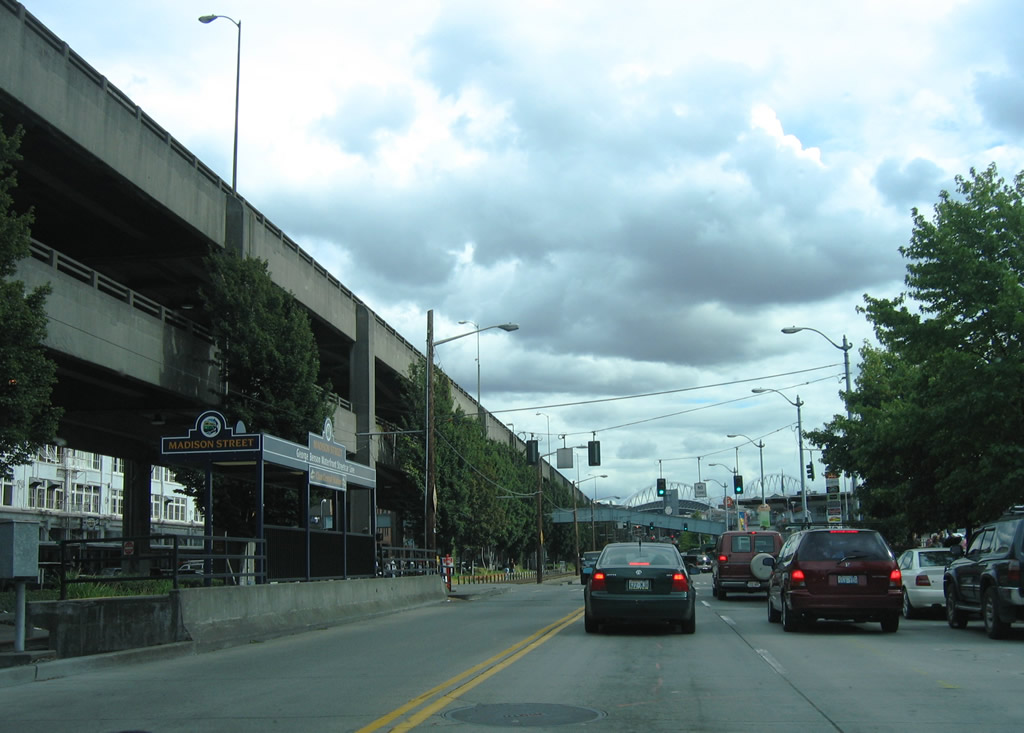
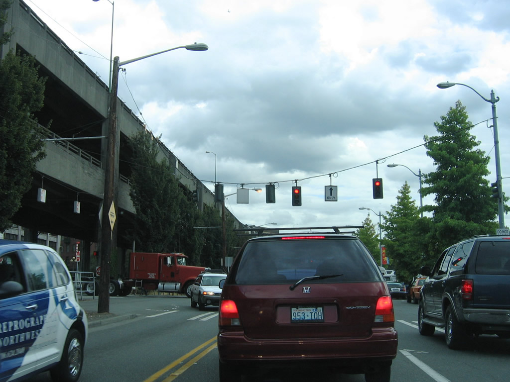
Southbound Alaskan Way at Madison Street. A stop on the George Benson Waterfront Streetcar Line was located between the boulevard and the Alaskan Way Viaduct.
08/30/06
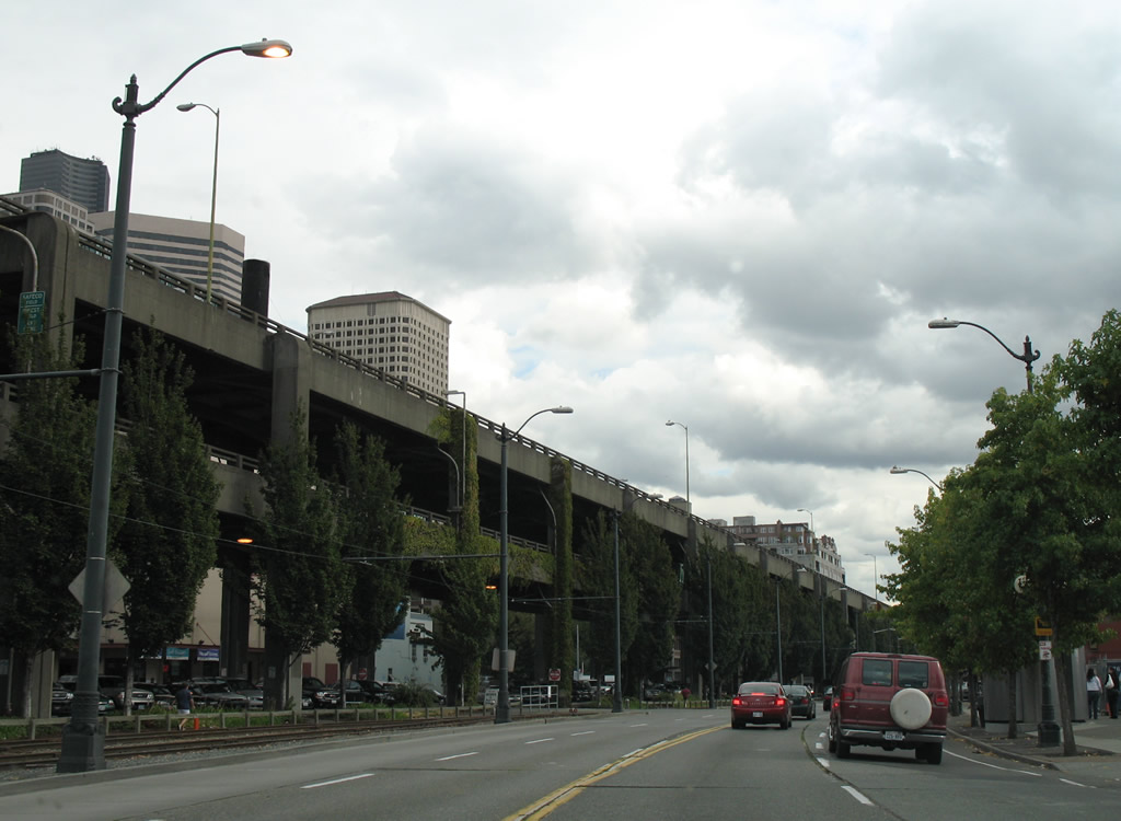
Continuing south alongside the Waterfront Streetcar line and the former Alaskan Way Viaduct (SR 99) on Alaskan Way south after Madison Street.
08/30/06
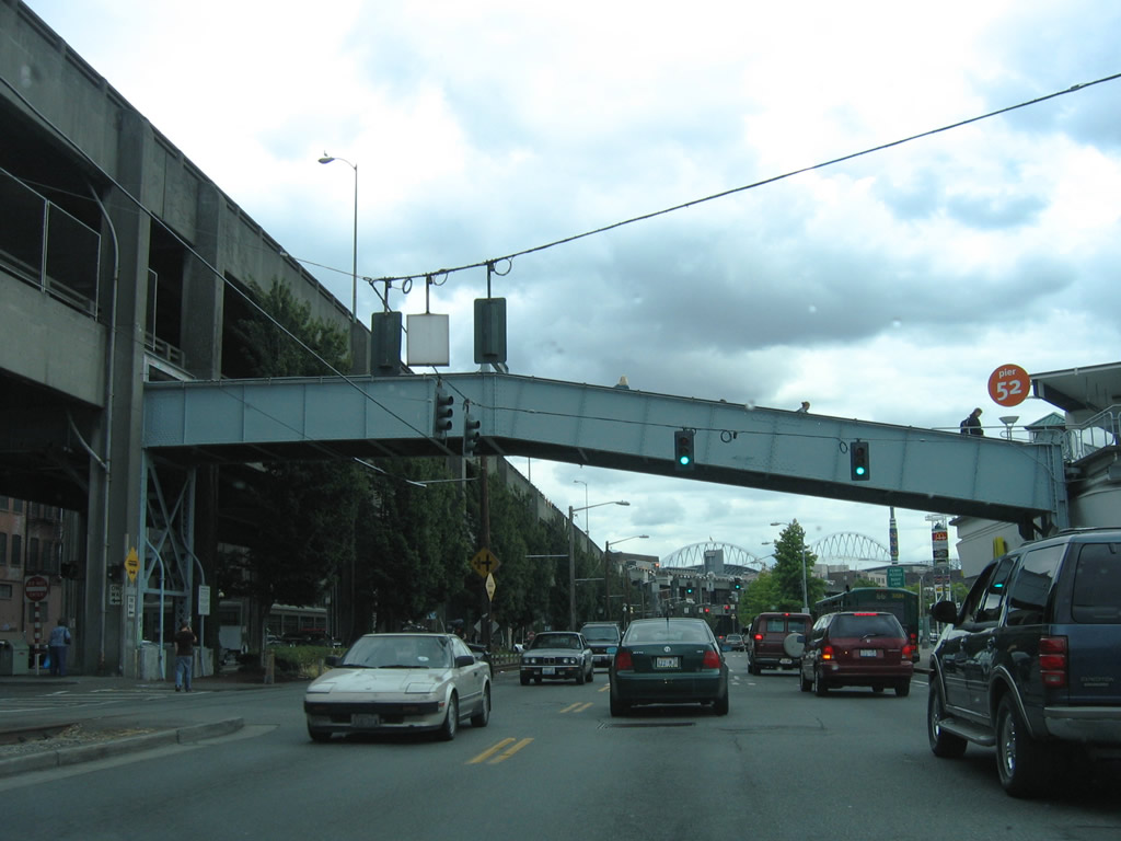
Marion Street intersects Alaskan Way at Pier 52; the Ferry Terminal Walkway passes above. The Seattle Ferry Terminal at Colman Dock represents the north end of SR 519. Ferries carry vehicles and passengers to Bainbrige Island and Bremerton from here.
08/30/06
Columbia Street ties into Alaskan Way opposite the Ferry Terminal. SR 519 commences the 1.14 mile drive to I-90 beyond the traffic light.
08/30/06
Photo Credits:
- AARoads: 08/28/06, 08/30/06
Page Updated Tuesday September 27, 2011.