
Highway 160

Split into four segments, Arkansas Highway 160 totals 135.38 miles as it travels across the southern reaches of the Natural State. The westernmost part travels 54.57 miles from the Texas state line near Bloomburg through Miller and Lafayette counties to AR 19 southwest of Macedonia in Columbia County. Highway 160 picks up again at Highway 57 in Mount Holly, advancing northeast 14.41 miles to Smackover.
The second longest stretch of AR 160 which measures 43.94 miles in length. Originating from U.S. 278 in Harrell, this branch travels southeasterly to U.S. 425 in Fountain Hill. The final 22.46 mile long section of AR 160 angles east from U.S. 82 in Ashley County to U.S. 65 midway between U.S. 82-278 and Eudora in Chicot County.
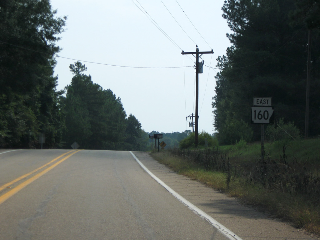
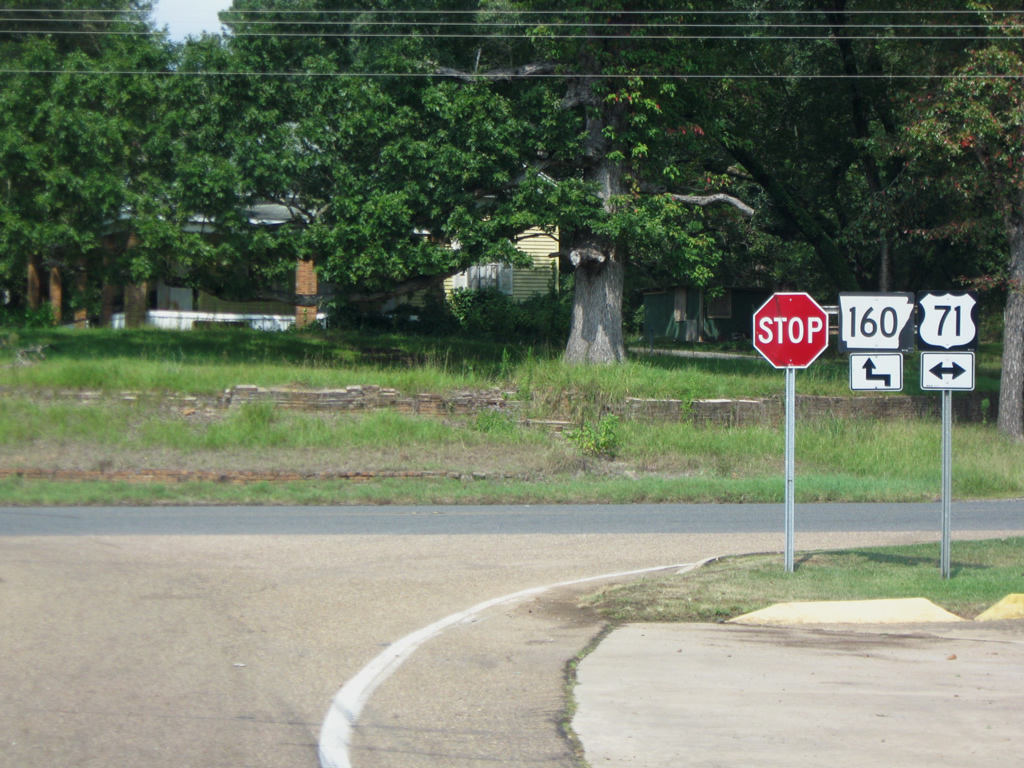
AR 160 leaves U.S. 71 and Doddridge in southern Miller County for Bradley in adjacent Lafayette County 15.1 miles ahead.
09/04/09
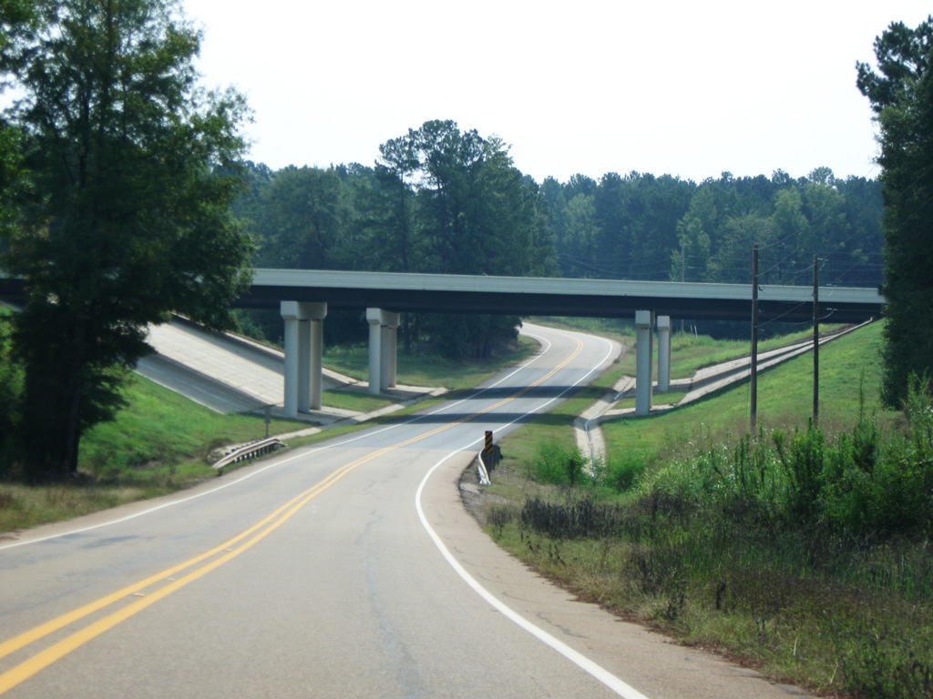
Interstate 49 (former AR 549) passes over AR 160 just outside of Doddridge. The freeway opened in this area in 2005 and serves to connect Texarkana with Shreveport, Louisiana.
09/04/09
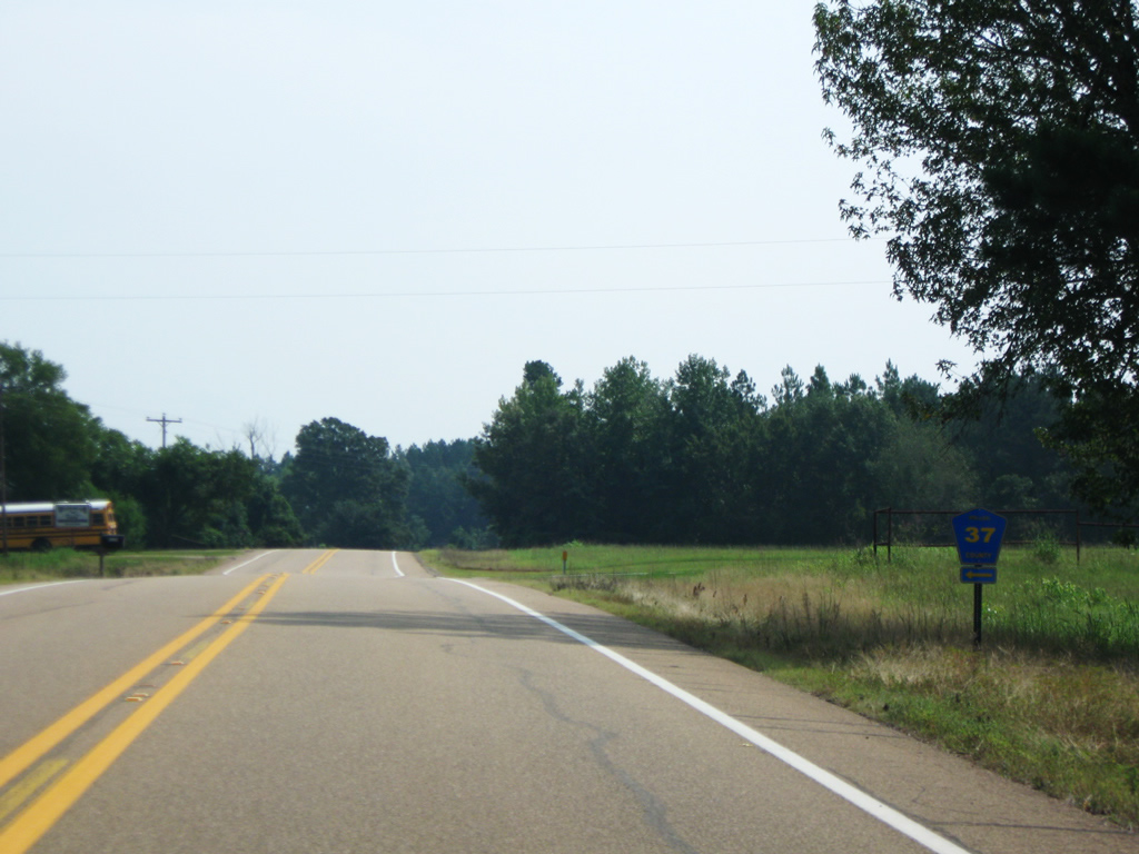
State Highway 160 intersects CR 37 on its final mile in Miller County. CR 37 once connected to U.S. 71 north of Doddridge but was severed when Interstate 49 was constructed.
09/04/09
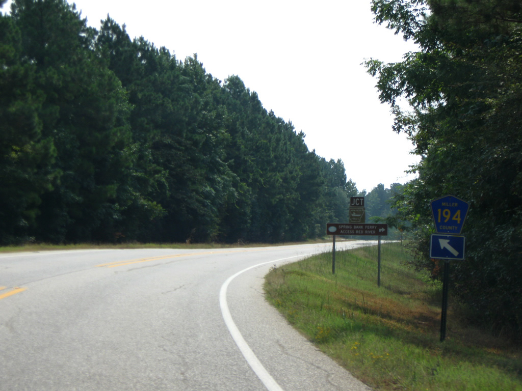
Miller County Route 194 spokes from AR 160 toward the Red River as the state highway briefly dips southeast to meet CR 4.
09/04/09
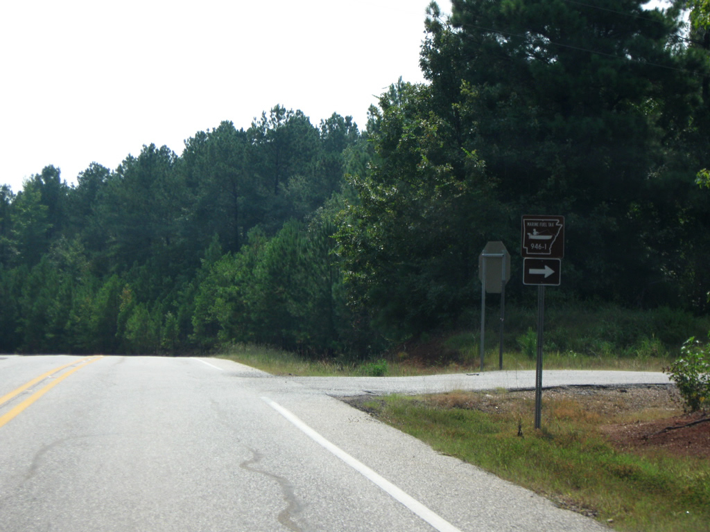
CR 4 stems south to reach the Spring Bank ferry access to the Red River. Prior to 1995 a ferry service carried motorists across the Red River into Lafayette County. The portion of CR 4 to the river access is also an Arkansas Marine Fuel Tax route.
09/04/09
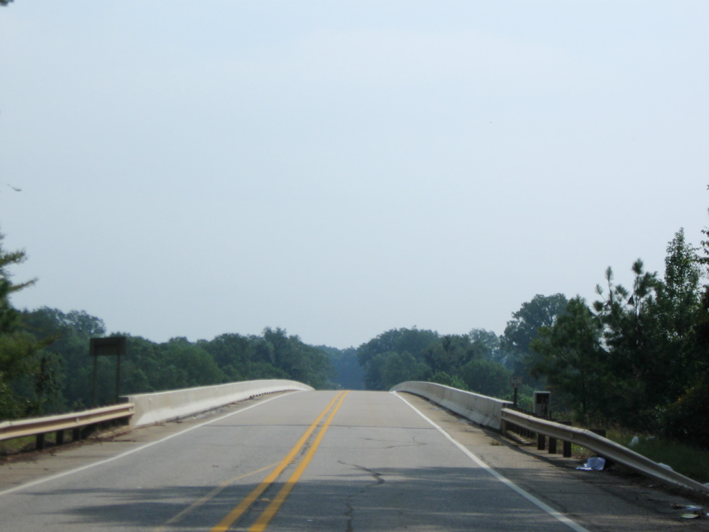
AR 160 crosses a 1995-built bridge into Lafayette County at the confluence of the Red and Sulfur Rivers. The bridge replaced the Spring Bank Ferry service.1 The Sulfur River flows 175 miles from Lamar County, Texas to the Red River just above State Highway 160. The 1,290 mile Red River begins in the Texas panhandle forming the border between Oklahoma and Texas and between Texas and Arkansas. Ultimately the Red River empties to the Mississippi River near Simmesport, Louisiana.
09/04/09
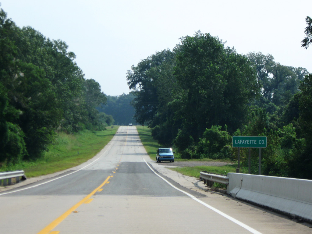
Lafayette County is the smallest county within the Natural State and was established in October 1827. AR 160 passes through the communities of Pleasant Valley, Gin City and Walnut Hill en route to Bradley.
09/04/09
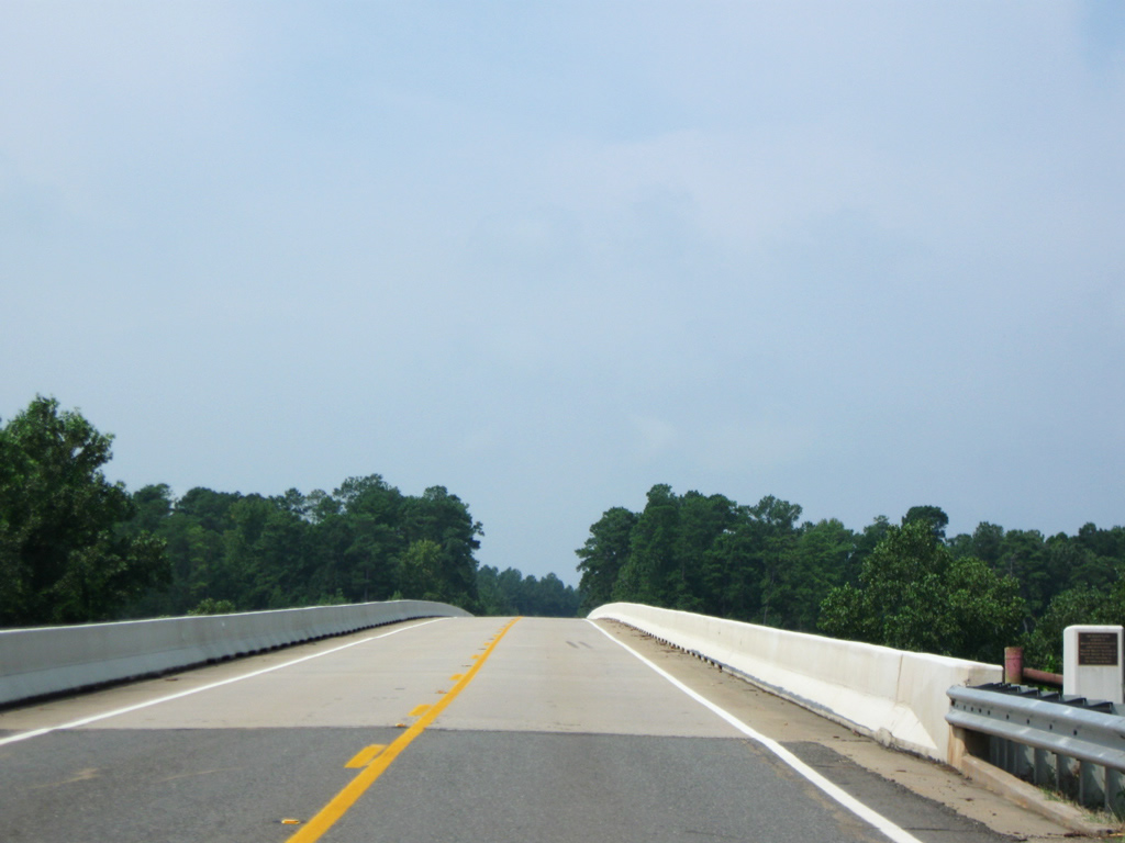
AR 160 west leaves Lafayette County for Miller County at the Red River. The Red River meanders 1,290 miles between the Texas panhandle and the Mississippi River near Simmesport, Louisiana. The 175 mile long Sulfur River merges with the Red River just north of the crossing.
09/04/09
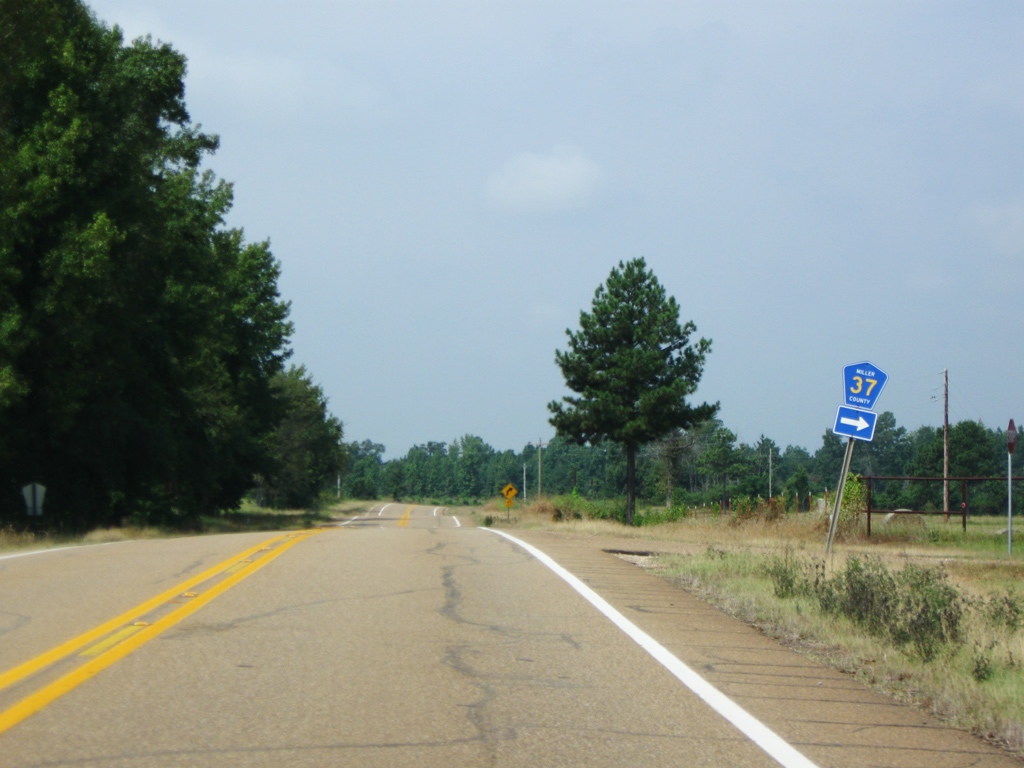
West of meeting CR 4 and CR 194, State Highway 160 meets CR 37. The narrow county road heads north and west toward U.S. 71. Once connected with the U.S. highway, CR 37 was severed when Interstate 49 was built.
09/04/09
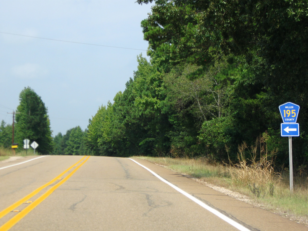
Miller County Route 195 leaves AR 160 toward New Hope Cemetery and CR 187.
09/04/09
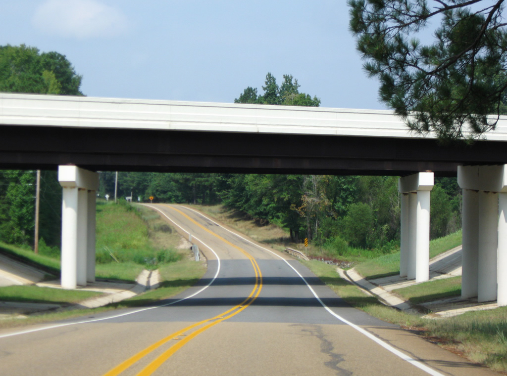
AR 160 passes under Interstate 49 ahead of Doddridge and U.S. 71. The rural freeway links Shreveport, Louisiana with Texarkana and is an extension of the Lafayette-Shreveport designation. Ultimately I-49 will connect Lafayette with Kansas City, Missouri.
09/04/09
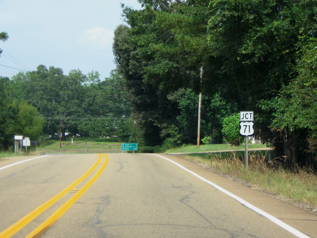
The state highway meets U.S. 71 as it reaches the community of Doddridge.
09/04/09
U.S. 71 was the primary route between Shreveport and Texarkana prior to the construction of Interstate 49 (former AR 549) in 2004 and 2005.
09/04/09
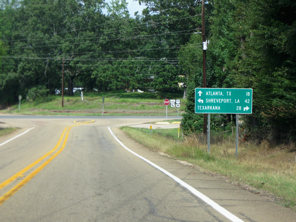
AR 160 west briefly combines with U.S. 71 south before turning again toward Atlanta (18 miles). The state highway passes through the community of Brightstar en route to Exxon just inside the Texas state line.
09/04/09
References:
- Historical Review - Volume Two (1913-2003), Arkansas Department of Transportation (ARDOT).
Photo Credits:
- Brent Ivy: 09/04/09
Connect with:
Page Updated Sunday October 24, 2021.