
State Route 61

Having been added in 1935, SR 61 is one of the older entries in the state highway system. The route begins at U.S. 60 just east of Show Low. Traversing sparsely populated range country, SR 61 heads to Concho and St. Johns, where it meets U.S. 191. State Route 61 combines with U.S. 191 north and east, before separating en route to Zuni, New Mexico, where it transitions into State Road 53 at the state line.
 East
East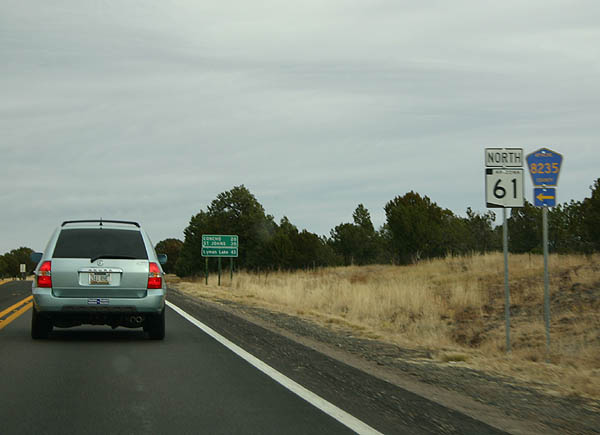
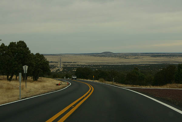
County Road 8235 intersects SR 61 soon after its split from U.S. 60. County roads are signed more often in rural Arizona than in the urban areas.
11/11/06
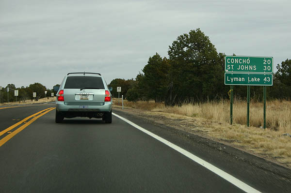
Distance sign to Concho (20 miles), St. Johns (30 miles) and Lyman Lake (43 miles).
11/11/06
SR 61 at milepost 355. The mile markers on SR 61 are based off those of US 60. Notice the adopt-a-highway sign in the right side of the photo.
11/11/06
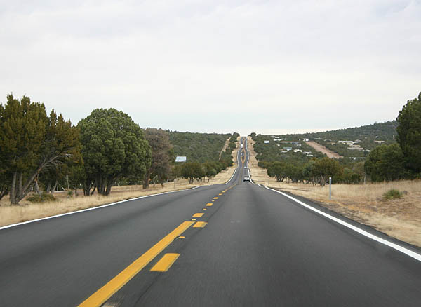
SR 61 continues through high, gently rolling terrain as it heads east toward Concho.
11/11/06
The arrow-straight line of SR 61 can be seen in the distance in this photograph.
11/11/06
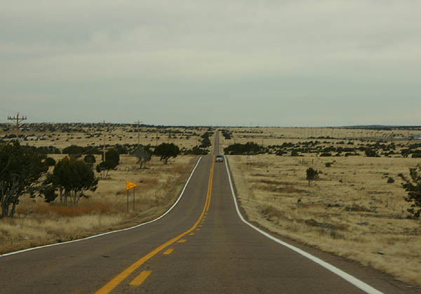
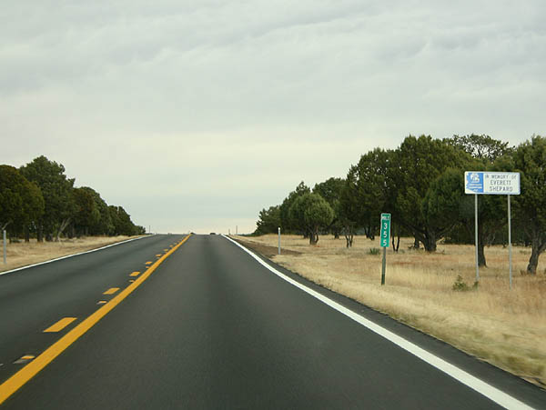
SR 61 traverses the high plains grassland of northeastern Arizona throughout its alignment.
11/11/06
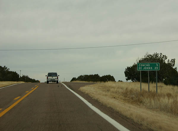
Distance sign to Concho (5 miles) and St. Johns (20 miles).
11/11/06
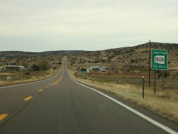
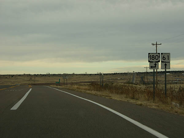
Advance signage for SR 180A. SR 61 is entering the small town of Concho, named because the valley that holds Concho resembles a shell.1 The town was established in 1879.
11/11/06
Use SR 180A northbound to reach Petrified Forest National Monument and Holbrook, or SR 61 east to reach St. Johns.
11/11/06
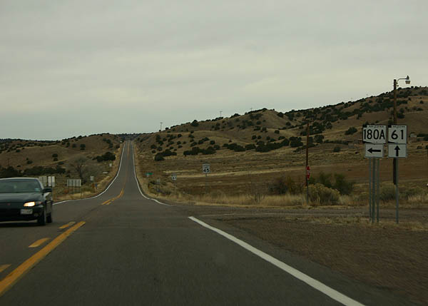
SR 180A departs here from SR 61. SR 180A is a former alignment of US 180, bypassed in 1973 and signed as SR 180A in 1974.
11/11/06

Arizona places reassurance markers after every major road junction.
11/11/06
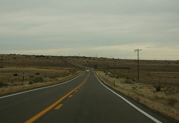
After leaving Concho Valley, SR 61 resumes its travels through the high grasslands of northeastern Arizona.
11/11/06
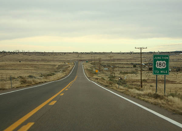
Advance signage for US 180.
11/11/06
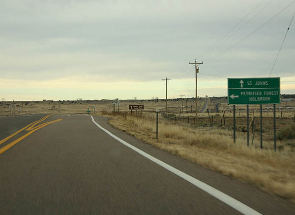
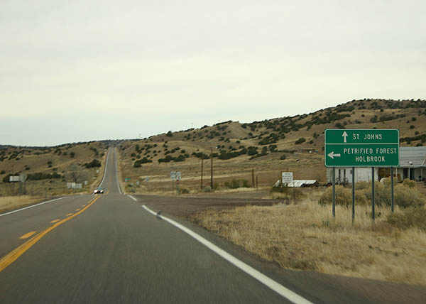
Continue east on SR 61/US 180 to St. Johns, or turn left on US 180 to reach Holbrook and Petrified Forest National Monument.
11/11/06
US 180 continues east towards St. Johns alongside SR 61. US 180 turns northwest from here to Petrified Forest National Monument and Holbrook.
11/11/06
 East
East North East
References:
- Barnes, Will C. Arizona Place Names. 1933 (reprinted 1988), pp. 107. ibid, pp. 374-75.
Photo Credits:
- Kevin Trinkle: 11/11/06
Connect with:
Page Updated Thursday March 01, 2007.