
Arizona Road & Highway Photo Guides

Sitemap to all pages covering the state of Arizona.
Route Categories
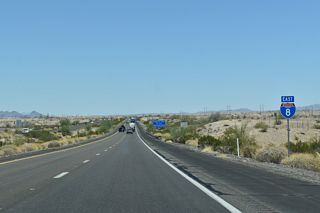
Interstates
7 routes, 3,479 photos
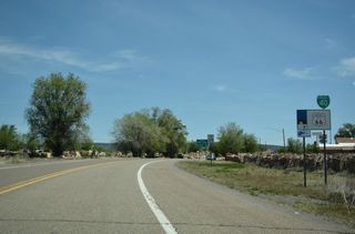
Business Routes
16 routes, 584 photos
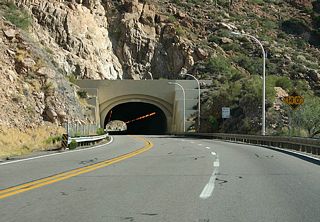
U.S. Highways
12 routes, 1,289 photos
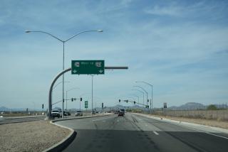
State Routes
54 routes, 2,415 photos
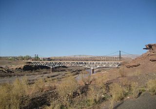
Other Roads
3 routes, 52 photos
Photo Coverage of Roads and Highways in Arizona
AARoads documents highways and roads across Arizona with route-by-route photo guides organized by direction of travel. Coverage includes Interstate Highways, U.S. Routes, Arizona State Routes, and select named highways.
Photo guides focus on highway signage, interchanges, route markers, city limit signs, county lines, and notable points of interest along each route. Long rural corridors emphasize desert and mountain scenery, reassurance markers and junction signage, while limited-access freeway segments feature extensive coverage of interchanges and exits.
New and updated photos for Arizona routes are added periodically and cataloged on the updates page.
City/Area Guides

Phoenix
13 Photos
Tucson
3 PhotosOther Guides

Historical Maps of Arizona
Photographic Contributors
Photography by Alex Nitzman, Andy Field, Brent Ivy and Kevin Trinkle. Many thanks to Joe Lockhart, Casey Cooper, Tyson Hugie, Thomas Gunther, David Wilson, Kenyon Schuett, Mike Ballard and Steve Hanudel for assisting with the phototaking and driving throughout the Grand Canyon State!
About Arizona
- Capital:
 Phoenix
 - Nickname: Grand Canyon State
- Arizona is historically known for the five "C's":
- Cattle - ranching is a significant part of Arizona&apos:s agricultural industry
- Citrus - oranges, limes, lemons, and grapefruits are commonly grown in the warmer southern and central parts of the state
- Climate - abundant sunshine makes for moderate winters and hot summers
- Copper - significant mining commodity, especially in southeastern Arizona
- Cotton - this is another major crop of the Grand Canyon State
- Area: 113,998.30 square miles or 295,260 square kilometers, 6th largest
- Statehood: 48th state; admitted February 14, 1912
- Total Interstate Mileage: 1,168.64 miles
- Highest Point: Humphreys Peak (north of Flagstaff), 12,633 Feet above Sea Level
Last updated: Thursday April 28, 2022