
State Route 86

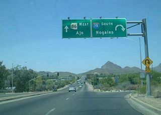
Arizona 86 parallels the Mexican Border through Southern Arizona. Beginning in Ajo, the road travels east through the Tohono O'odham Reservation, passing Kitt Peak on the way to Tucson, where the road ends at Interstate 19.
Arizona 86 has been expanded and contracted significantly over the years. The original alignment was established in 1930 between Willcox and Bowie Junction. In 1931, it was expanded to go between Benson and San Simon.
In 1943, the road was expanded west through the Tohono O'odham reservation to Ajo.
Arizona 86 became the primary route between Tucson and El Paso, leading to its partial demise in 1970 as Interstate 10 was built over the route from Benson to San Simon, truncating the route to U.S. 89 in Tucson.
In 2002, the road was cut back further to Interstate 19.
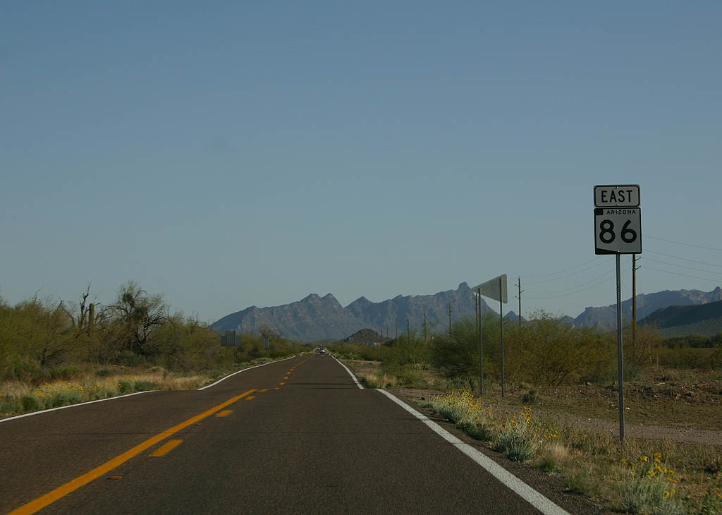
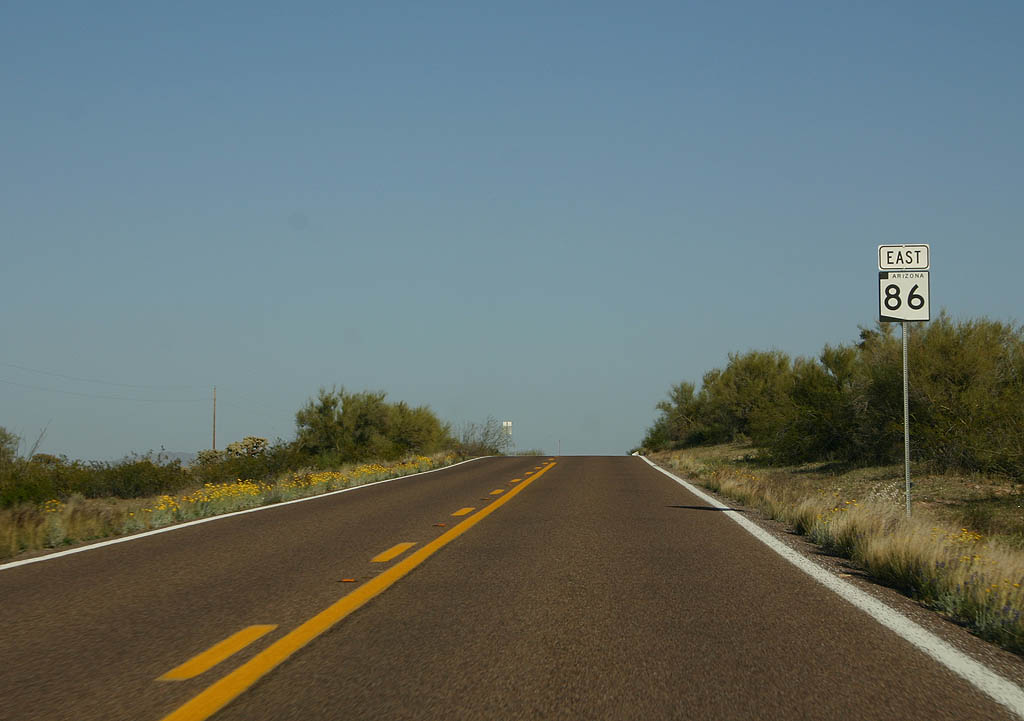
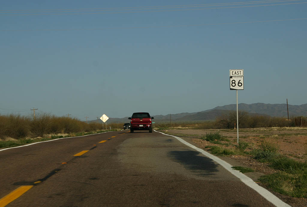
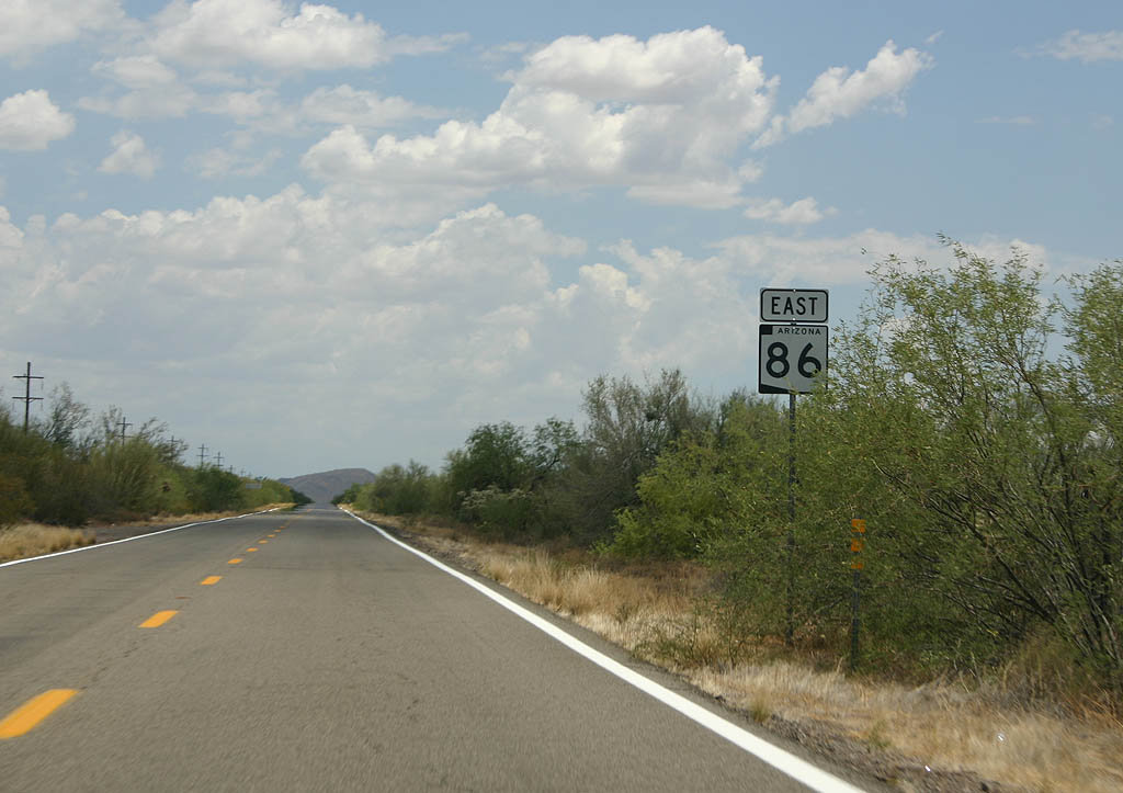
 East
East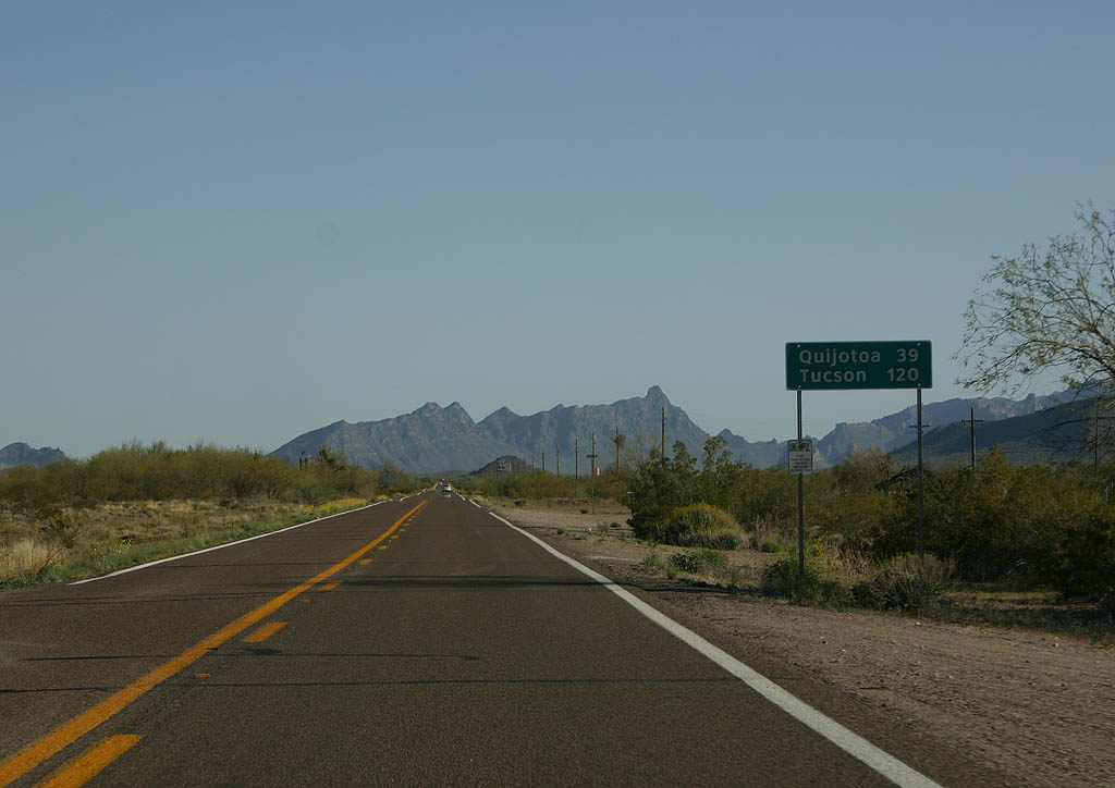
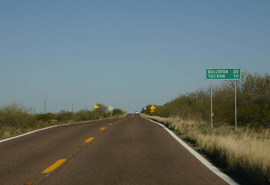
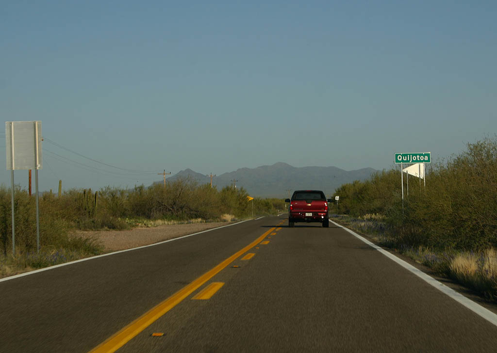
Distance sign to Quijotoa (39 miles) and Tucson (120 miles).
03/23/08
This is the first reassurance marker along SR 86, just past Why.
03/23/08
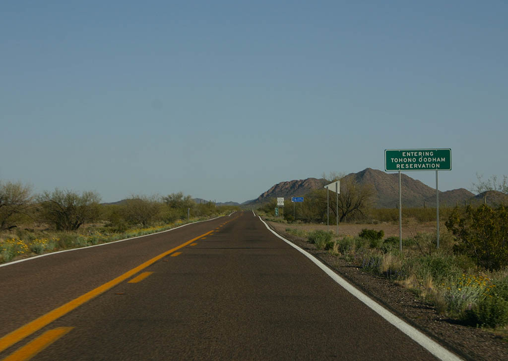
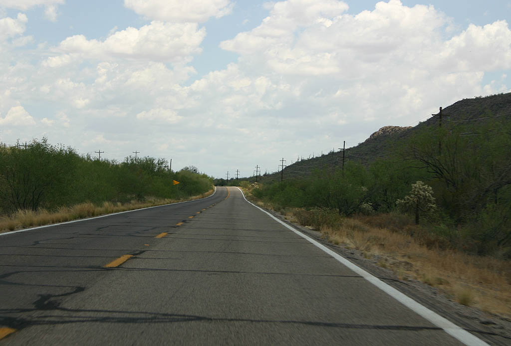
SR 86 enters the Tohono O'odham Reservation here. The road will travel through the reservation for the next 87 miles.
03/23/08
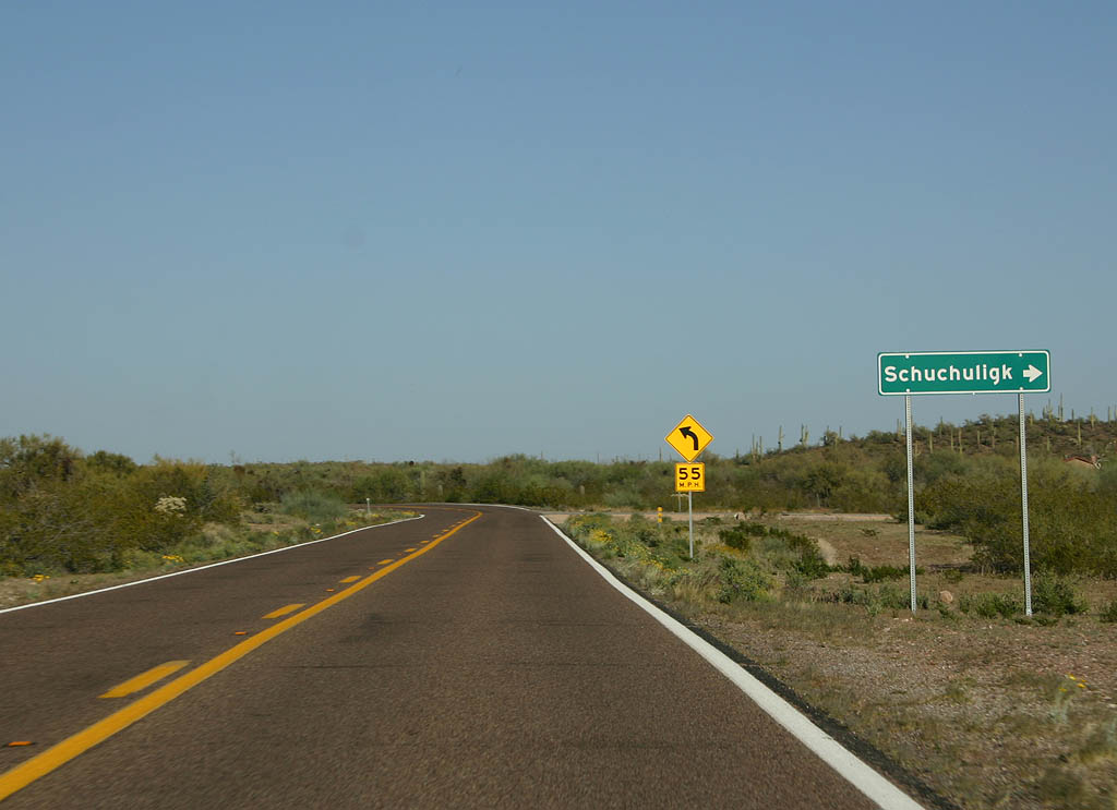
Turn right for Schuchuligk. SR 86 is in Gunsight Valley.
03/23/08
Distance sign to Quijotoa and Tucson. SR 86 is now following Gunsight Wash.
03/23/08
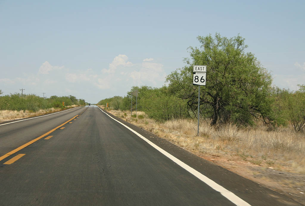
Reassurance marker for SR 86.
03/23/08
07/04/08
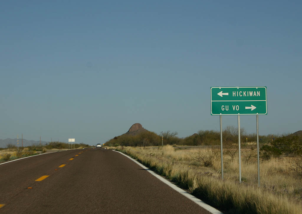
Turn left for Hickiwan, or turn right for Gu Vo.
03/23/08
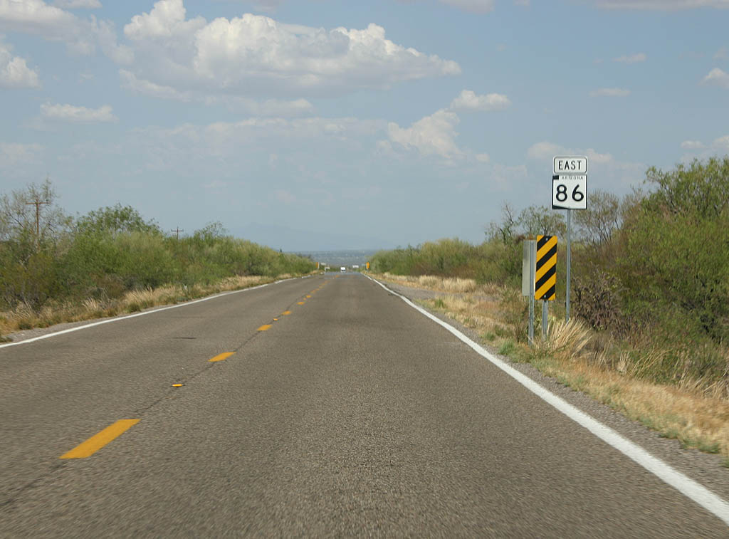
SR 86 is now in the large Quijotoa Valley, where this reassurance marker is seen.
03/23/08
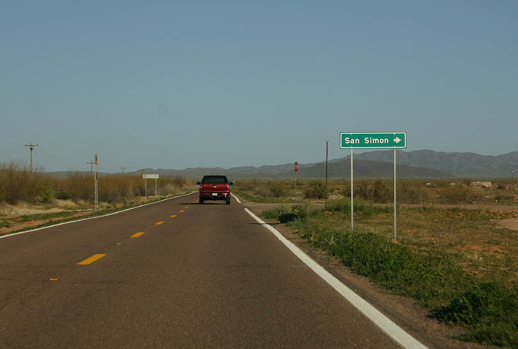
Turn right for San Simon.
03/23/08
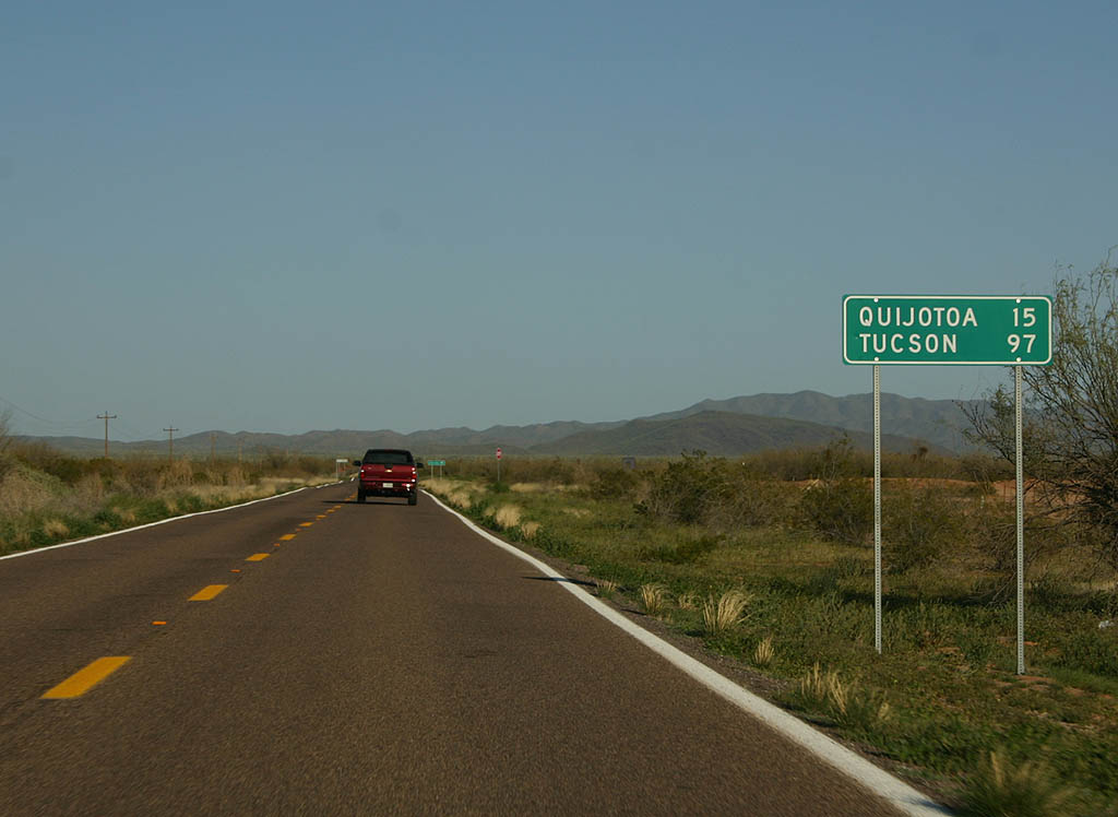
Distance sign to Quijotoa and Tucson.
03/23/08
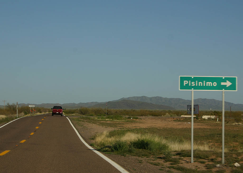
Turn right for the village of Pinisimo.
03/23/08

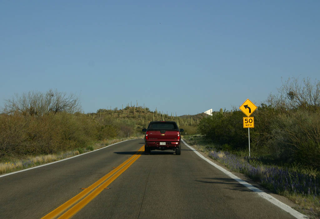
SR 86 enters the Quijotoa Mountains here. This section of highway has more vegetation and a number of hairpin turns.
03/23/08
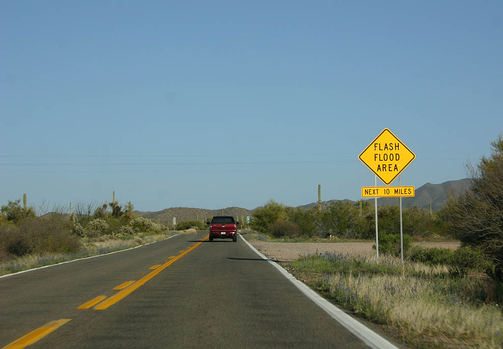
The next 10 miles are a Flash Flood Area, as SR 86 crosses several washes.
03/23/08
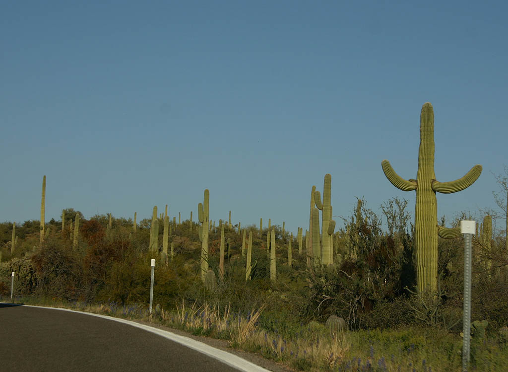
The saguaro forests become more dense as we climb out of the valley.
03/23/08
SR 86 climbs up toward Quijotoa Pass here. This Saguaro is very distinctive alongside the road.
03/23/08
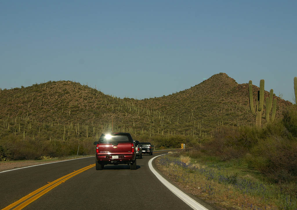
SR 86 follows Quijotoa Wash. Notice the extensive Saguaro forests on the unnamed mountain.
03/23/08
SR 86 enters the village of Quijotoa here.
03/23/08
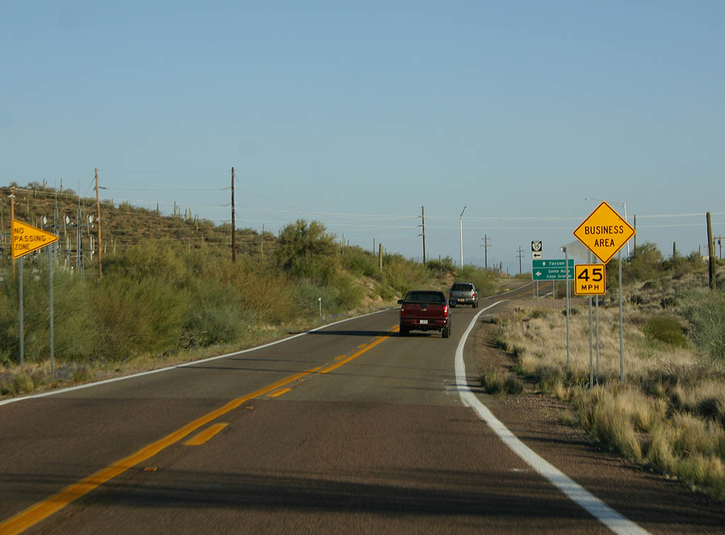
SR 86 approaches Indian Route 15. The Business Area refers to a trading post located in Quijotoa.
03/23/08
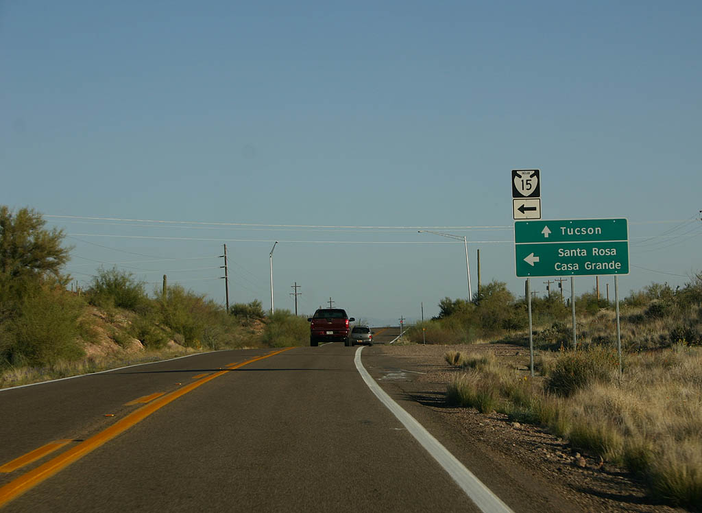
Continue ahead for Tucson, or turn right for Santa Rosa and Casa Grande on Indian Route 15.
03/23/08
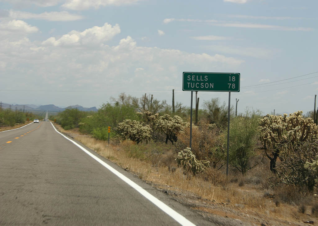
Distance sign to Sells (18 miles) and Tucson (78 miles).
07/04/08

Turn left for the village of Nolia.
07/04/08
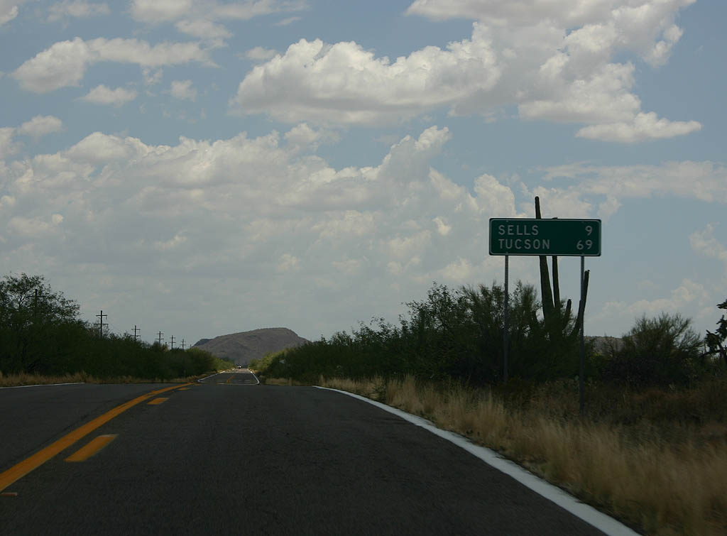
Distance sign to Sells (9 miles) and Tucson (69 miles).
07/04/08
SR 86 travels south through the reservation, through very sparsely populated land.
07/04/08
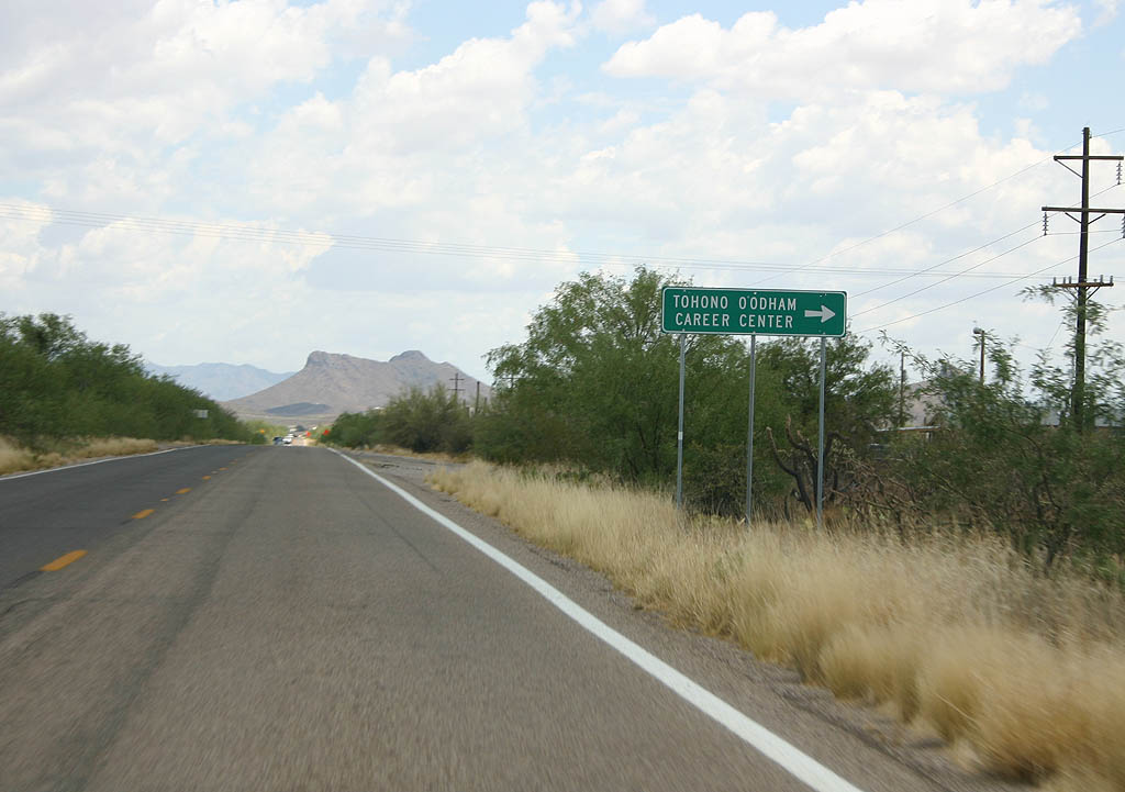
Turn right for the Tohono O'odham Career Center.
07/04/08
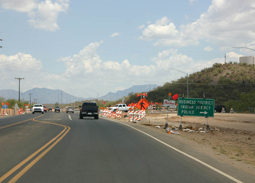
SR 86 enters the town of Sells here. Sells is the governmental center for the Tohono O'Odham tribe, and was known as Indian Oasis until 1918.
07/04/08

Distance sign to Kitt Peak Junction (SR 386) and Tucson.
07/04/08
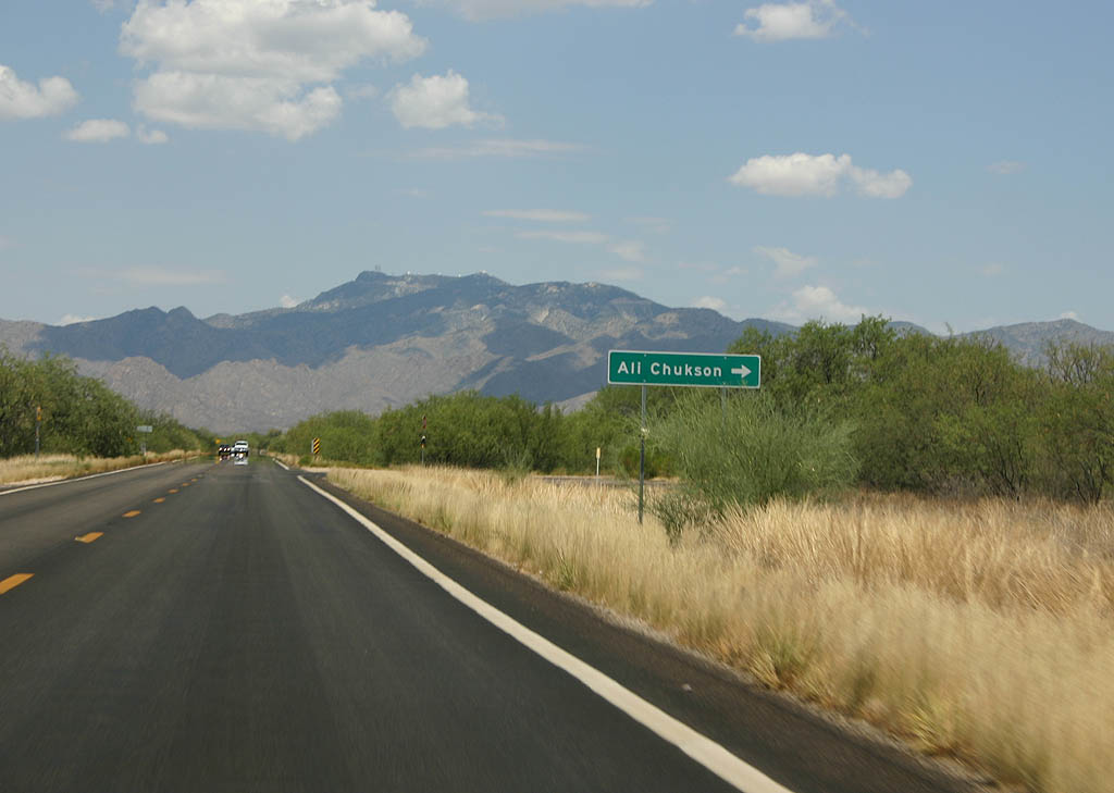
Turn right for Ali Chukson.
07/04/08
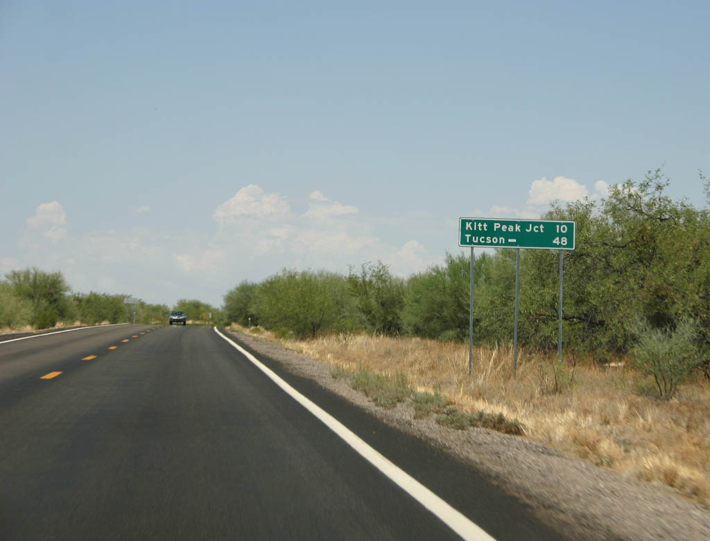
Distance sign to Kitt Peak Junction (10 miles) and Tucson (48 miles).
07/04/08
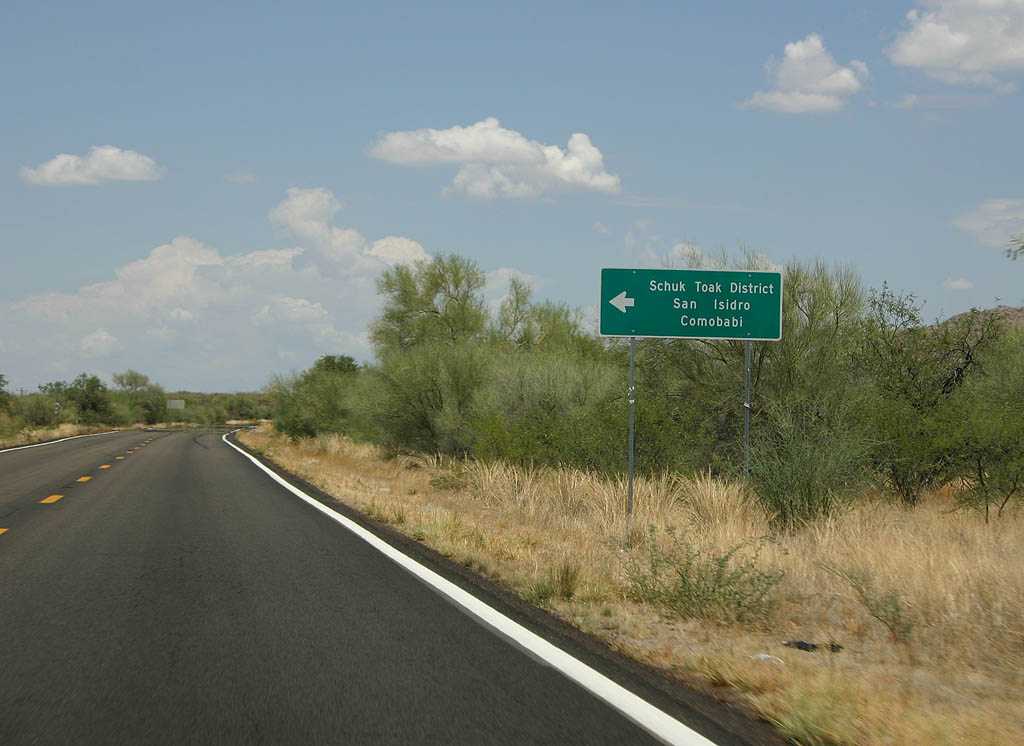
Turn left for San Isidro and Comobabi.
07/04/08
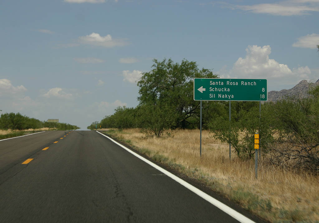
Turn left for the Santa Rosa Ranch, Schucka, and Sil Nakya.
07/04/08
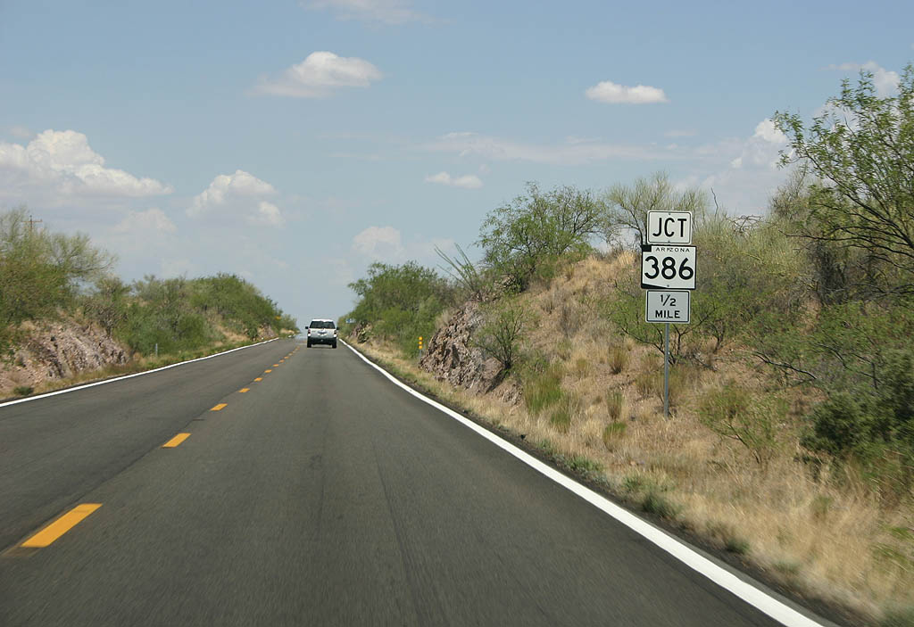
Advance signage for SR 386, 1/2 mile.
07/04/08
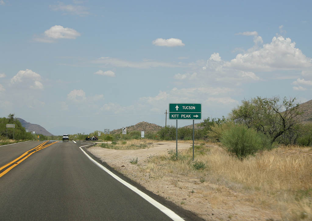
Turn right on SR 386 to travel up Kitt Peak, or continue ahead on Arizona 86 to reach Tucson.
07/04/08
SR 386 departs from SR 86 here.
07/04/08
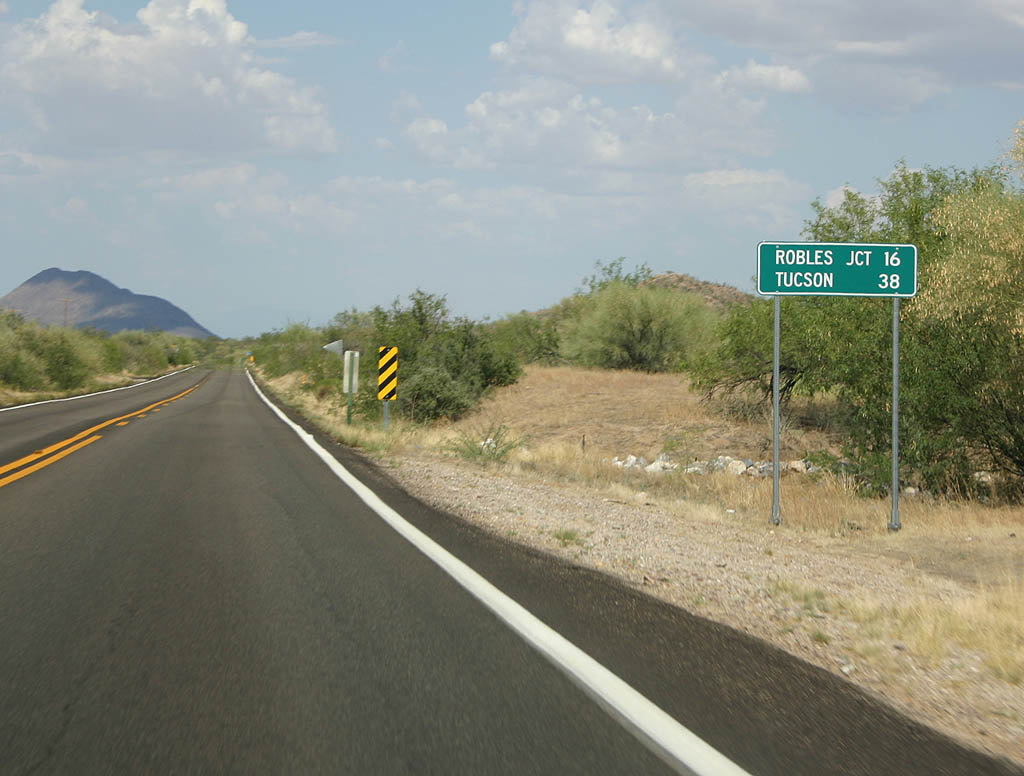
Distance sign to Robles Junction (16 miles) and Tucson (38 miles).
07/04/08
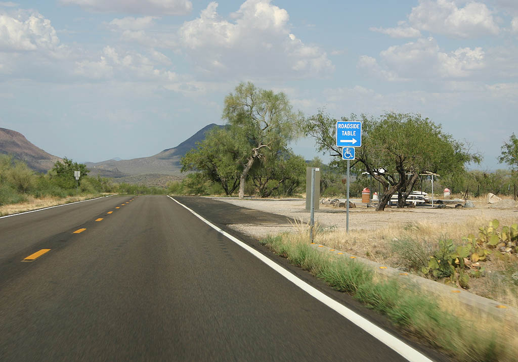
This is the only roadside table between Arizona 386 and Tucson.
07/04/08
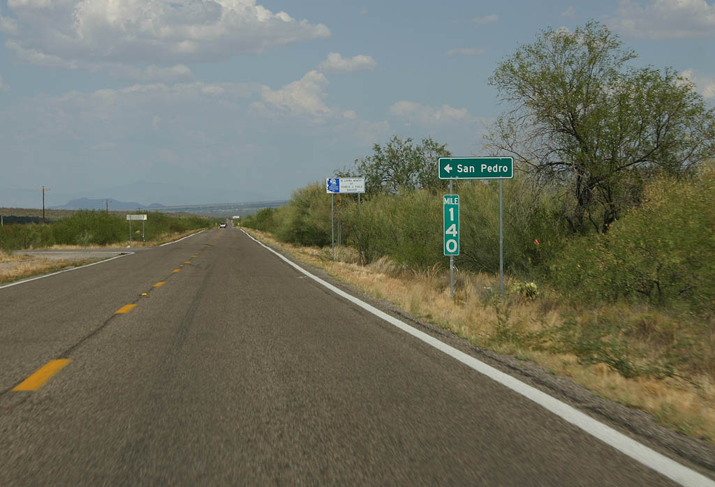
Turn left for San Pedro.
07/04/08
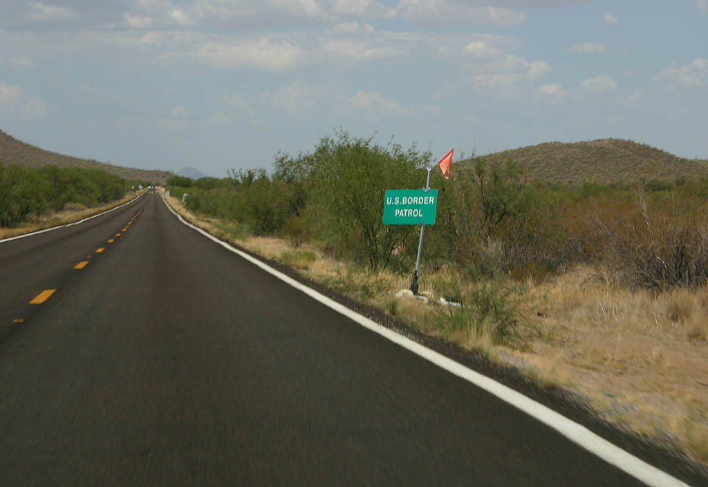
Due to the proximity of the Mexican Border, the entire SR 86 corridor is within the Border Patrol authority zone. Most of the traffic AARoads spotted on this road were Border Patrol vehicles.
07/04/08
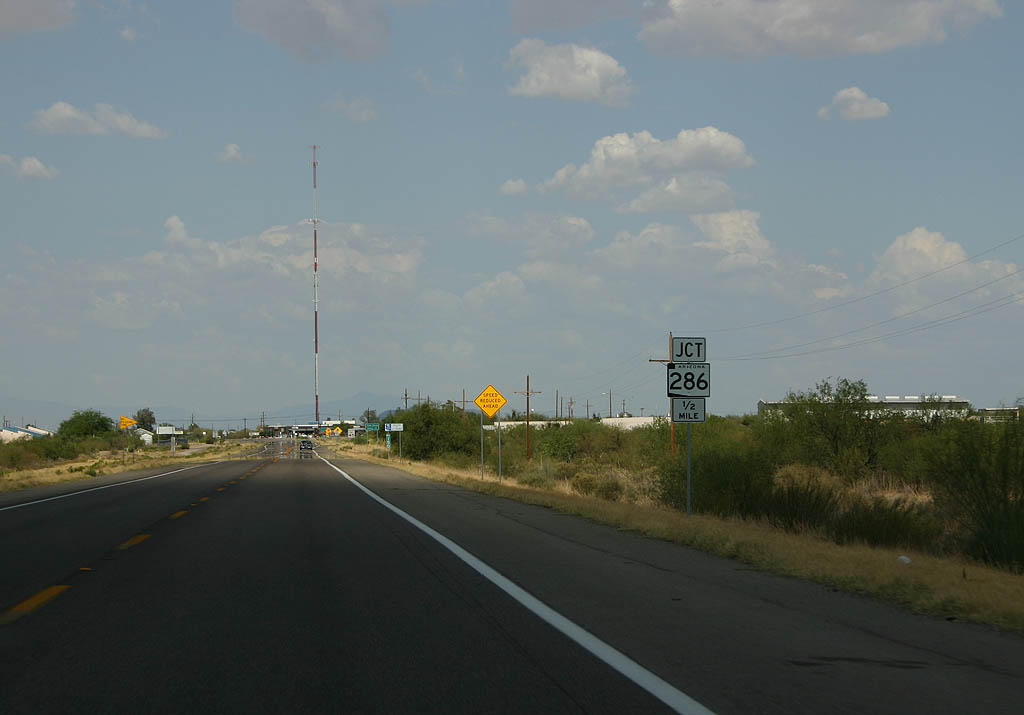
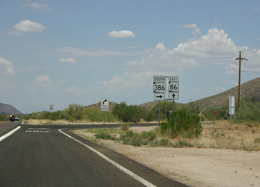
Advance signage for SR 286, 1/2 mile.
07/04/08
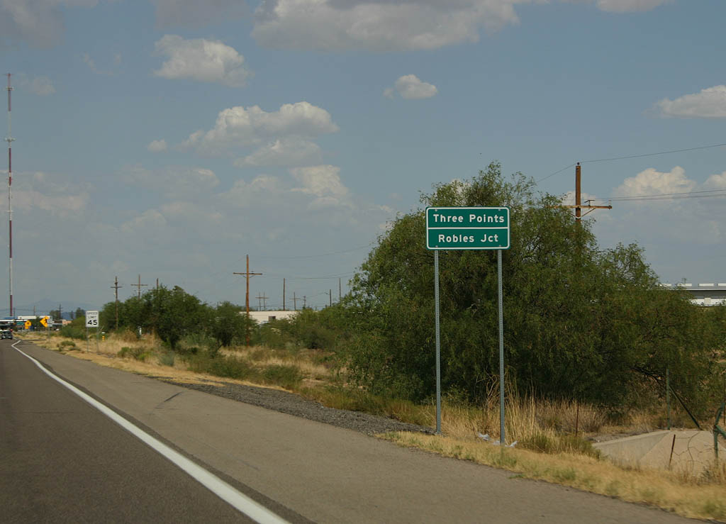
SR 86 is entering the small town of Three Points, also known as Robles Junction, here.
07/04/08
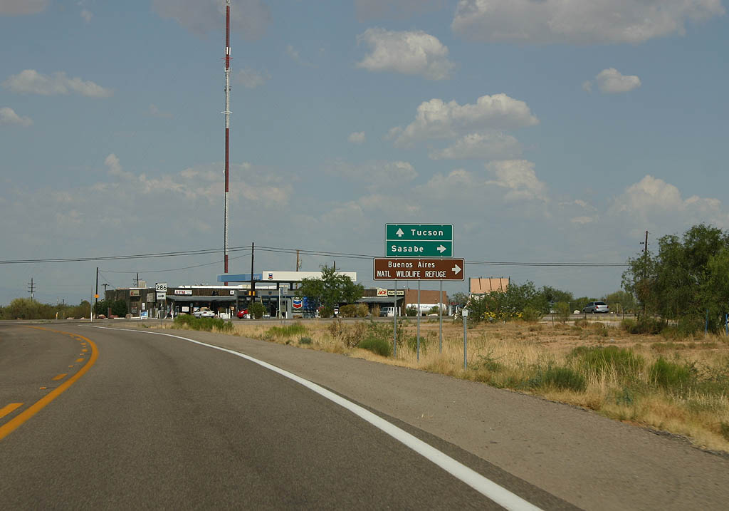
Turn right to reach the town of Sasabe, or continue ahead on SR 86 to Tucson.
07/04/08
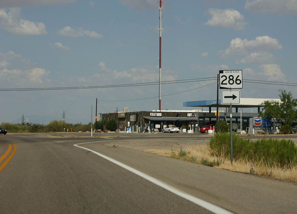
The lightly traveled SR 286 departs from SR 86 here.
07/04/08
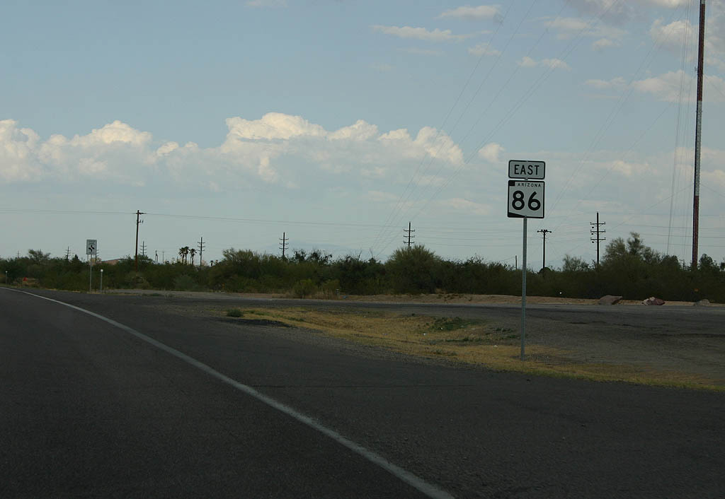
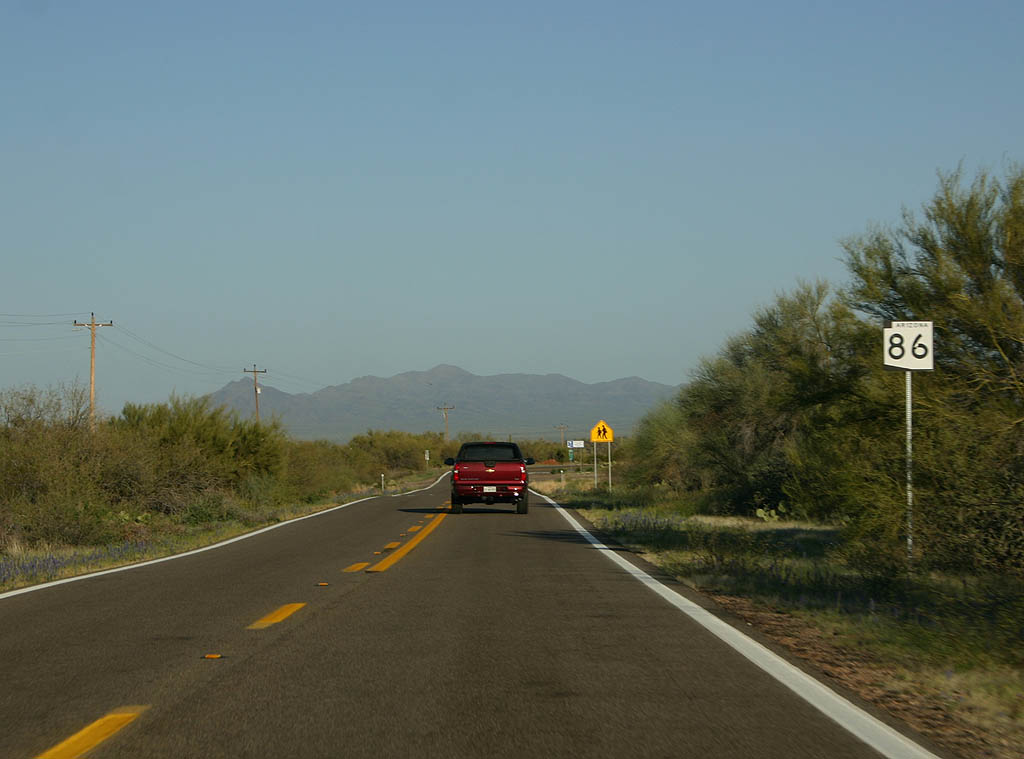
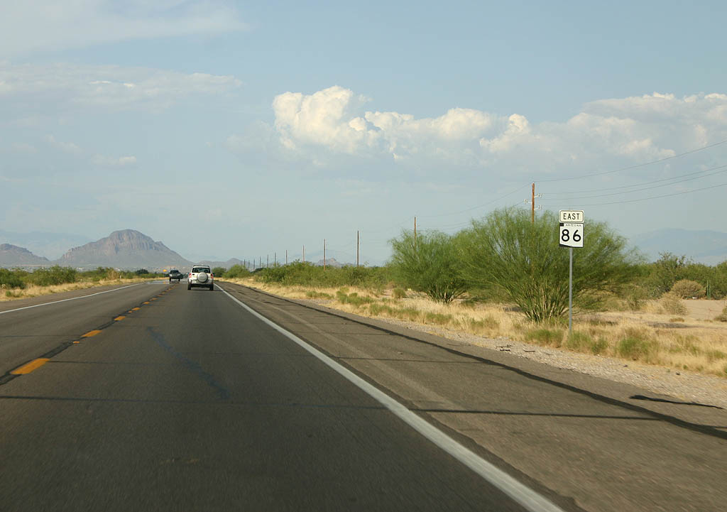
Reassurance marker for SR 86 eastbound.
07/04/08
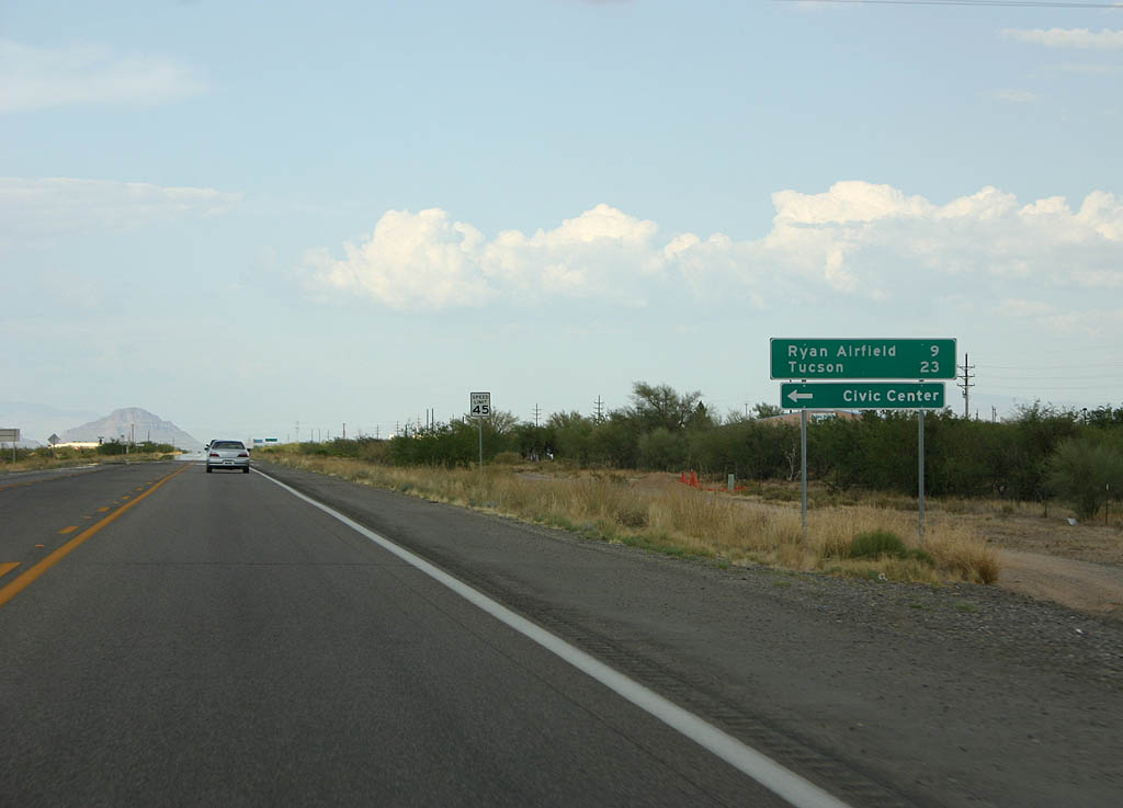
Distance sign to Ryan Airfield (9 miles) and Tucson (23 miles).
07/04/08
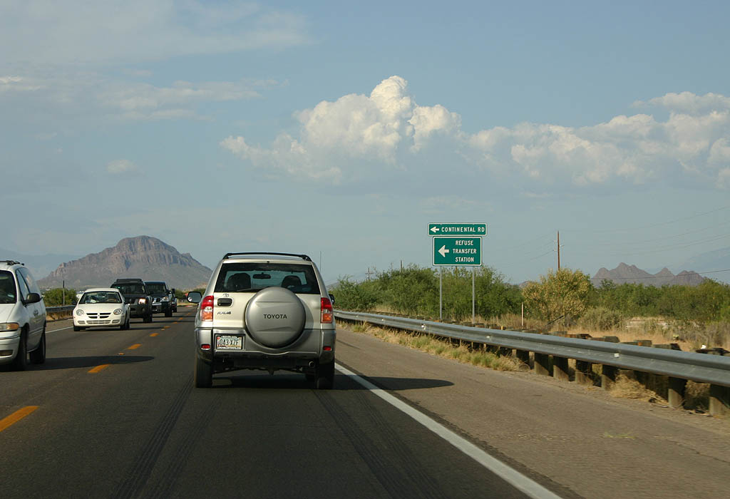
Turn left for Continental Road and the refuse transfer station.
07/04/08
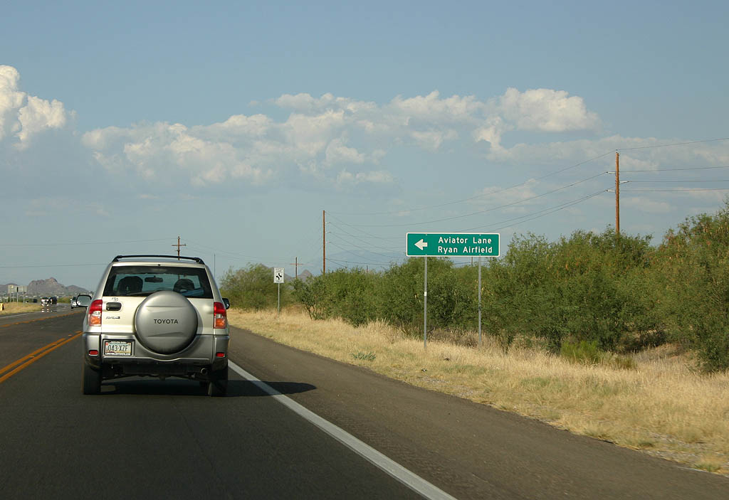
Turn left for Aviator Lane and Ryan Airfield. Ryan Airfield is a general aviation airport that caters to smaller aircraft as well as flight training.
07/04/08
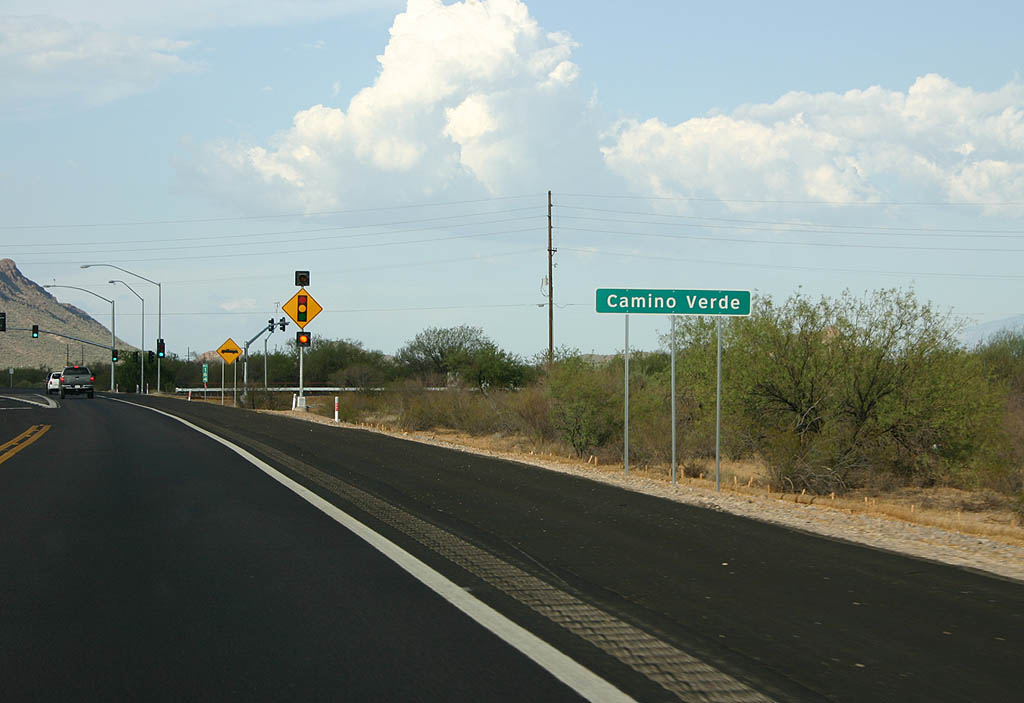
SR 86 meets Camino Verde here, in the outskirts of the Tucson metropolitan area.
07/04/08
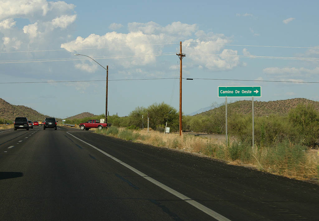
Turn right for Camino de Oeste.
07/04/08
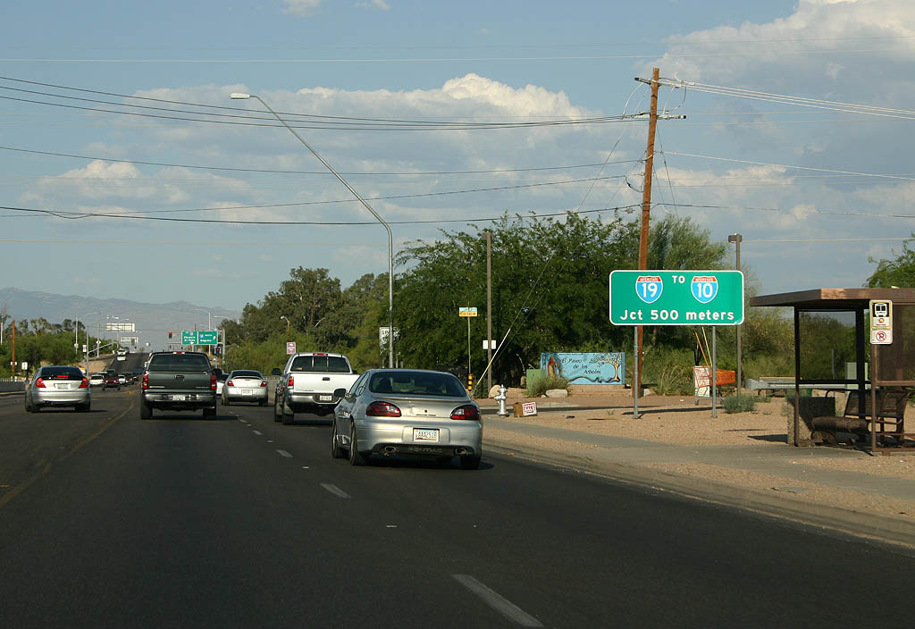
SR 86 ends abruptly at Interstate 19, 500 meters. There is no end shield at the end of the highway.
07/04/08
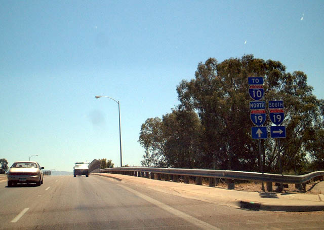
Eastbound SR 86 at Junction Interstate 19 Southbound in Tucson. Interstate 19 leads south to Green Valley and Nogales.
05/24/03
Eastbound SR 86 at Junction Interstate 19 Northbound in Tucson. Note the use of Interstate 10 shields, since northbound Interstate 19 feeds directly into Interstate 10.
05/24/03
West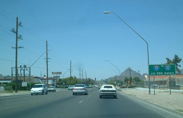
Westbound SR 86 advances from Business Loop I-19 to Interstate 19. Note the use of metric distances, which is common for I-19.
05/24/03
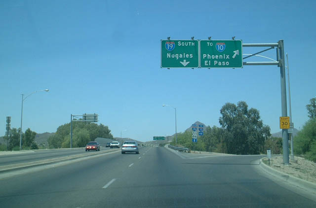
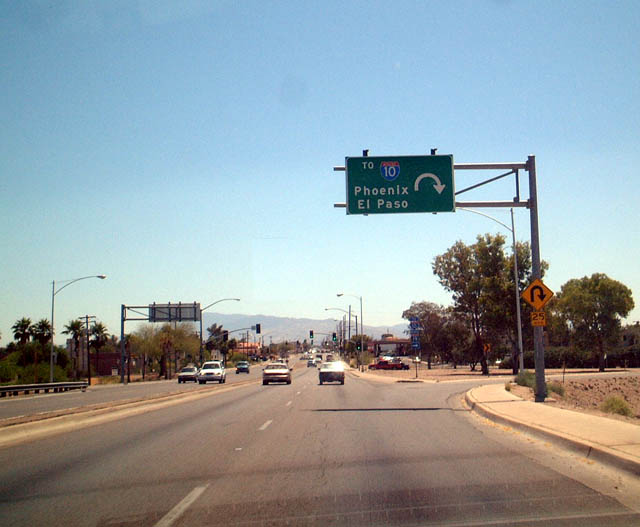
SR 86 west at I-19 north to Interstate 10.
05/24/03
Westbound SR 86 at Interstate 19 south. SR 86 continues west to Why and Ajo.
05/24/03
Photo Credits:
- Kevin Trinkle: 03/23/08, 07/04/08
- Andy Field: 05/24/03
Connect with:
Page Updated Monday July 21, 2008.