
State Route 288 / Desert To Tall Pines Highway

Arizona 288 is a lightly used road that travels from Arizona 188 near Roosevelt Dam to Young, AZ. The road is primarily a dirt highway, with some paved sections, and is narrow and winding.
Arizona 288 was added to the state highway system in 1960. The actual road is much older, however, and the Salt River Bridge dates back to 1939. In 1971, the road was extended north to Arizona 260, but this extension was truncated back to Young in 1983.
Arizona 288 was designated as the Desert to Tall Pines scenic highway in 2001.
Special thanks to Thomas Gunther for his assistance with the photography of Apache Trail.
 North
North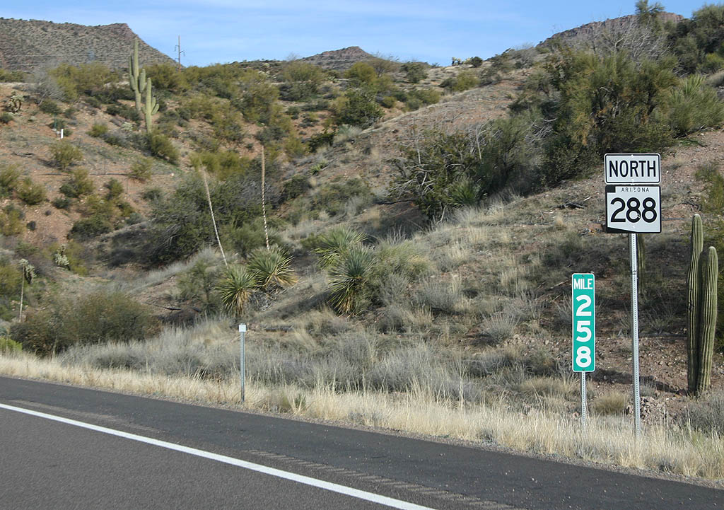
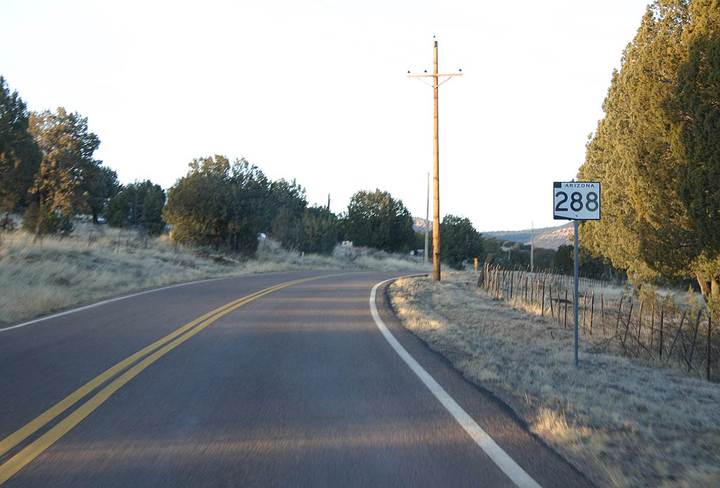
SR 288 begins at SR 188 east of Roosevelt Dam. This marks the first reassurance marker and milepost northbound.
02/10/08
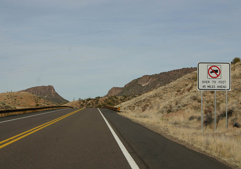
Trucks over 70 feet long are not permitted 45 miles ahead, after the end of the state highway in Young.
02/10/08
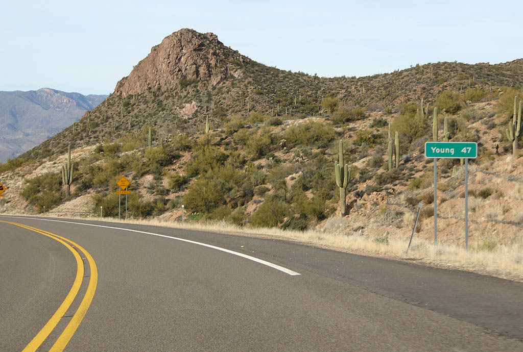
Distance sign to Young (47 miles). Young is the only town or control point along SR 288.
02/10/08
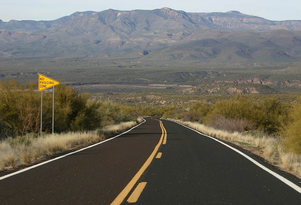
SR 288 continues a quick descent into the Salt River valley.
02/10/08
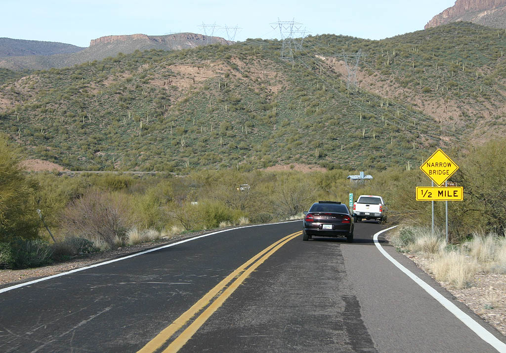
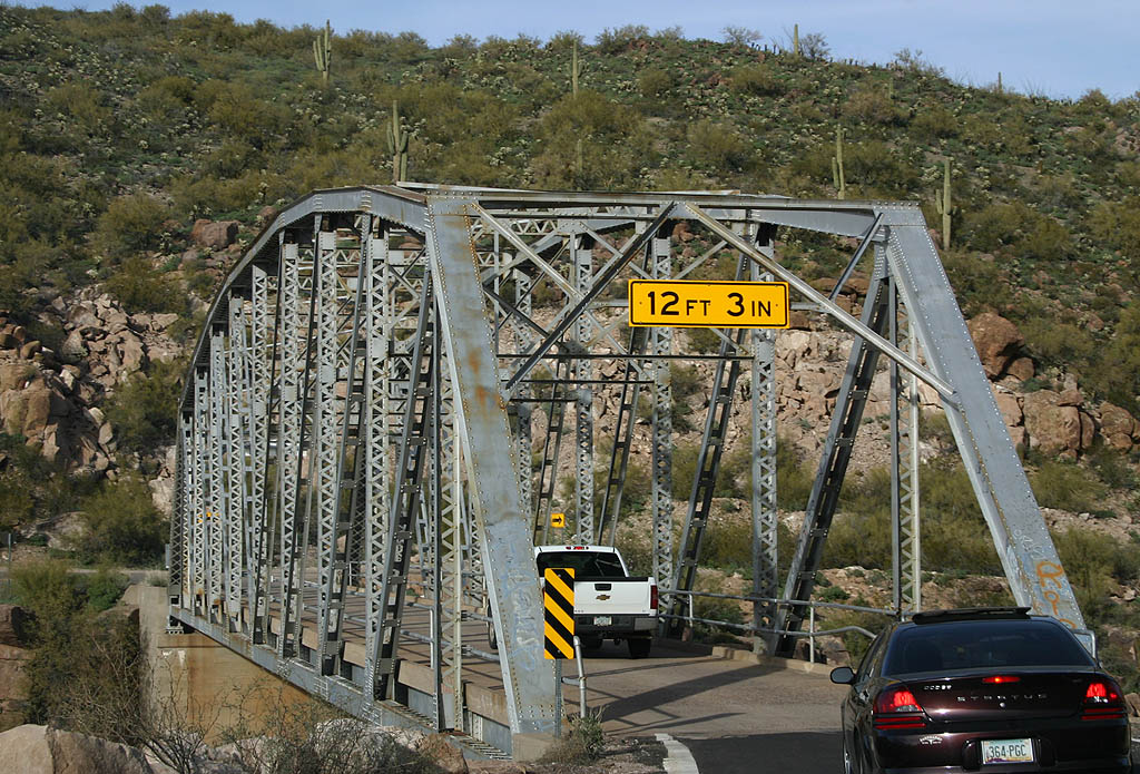
Advance signage for the Salt River Bridge, 1/2 mile. The Salt River Bridge is a one-lane steel bridge, similar to those along SR 88.
02/10/08
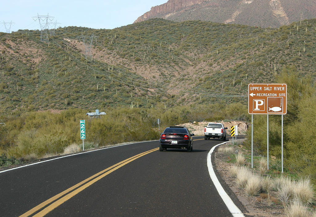
Turn left to reach the Tonto National Forest's Upper Salt River recreation site. The site offers lake access, when the water level is high enough.
02/10/08
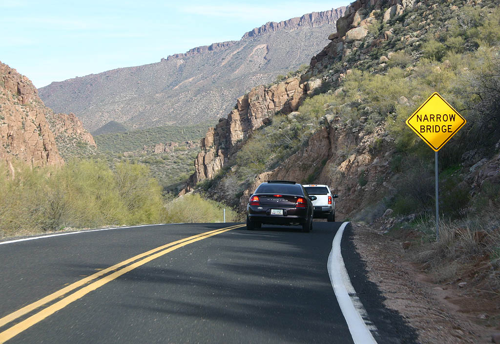
SR 288 approaches the Salt River Bridge just inside this turn.
02/10/08
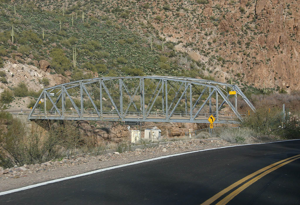
The one lane Salt River bridge dates back to 1920. This steel truss bridge is 220 feet long.
02/10/08
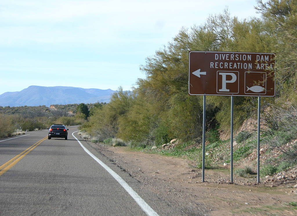
Now across the bridge, the next turn is for the Diversion Dam recreation area, offering fishing.
02/10/08
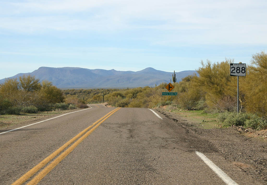
SR 288 now travels around the edge of Roosevelt Lake as it approaches Cherry Creek Road.
02/10/08
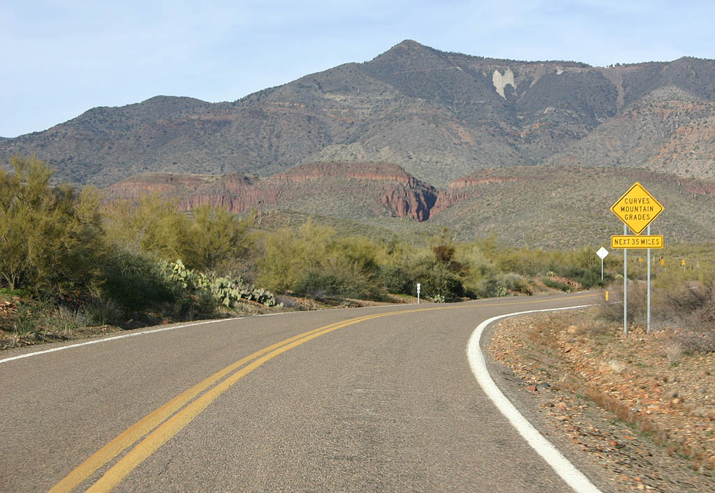
Everyone's favorite warning sign warns us of curves and grades for the next 35 miles.
02/10/08
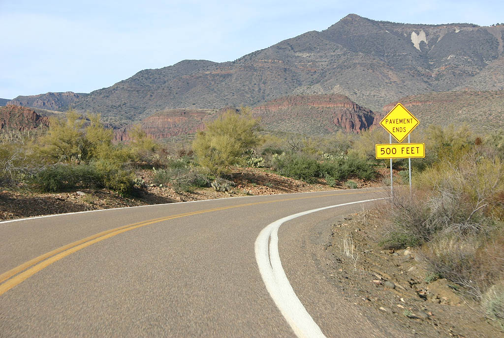
The majority of SR 288 is unpaved. This warning sign informs us that the pavement is about to end.
02/10/08
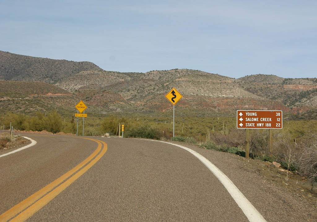
Continue north on SR 288 to reach Young, or turn left on FS 60 to reach Salome Creek and SR 188. FS 60 parallels the shoreline of Roosevelt Lake.
02/10/08
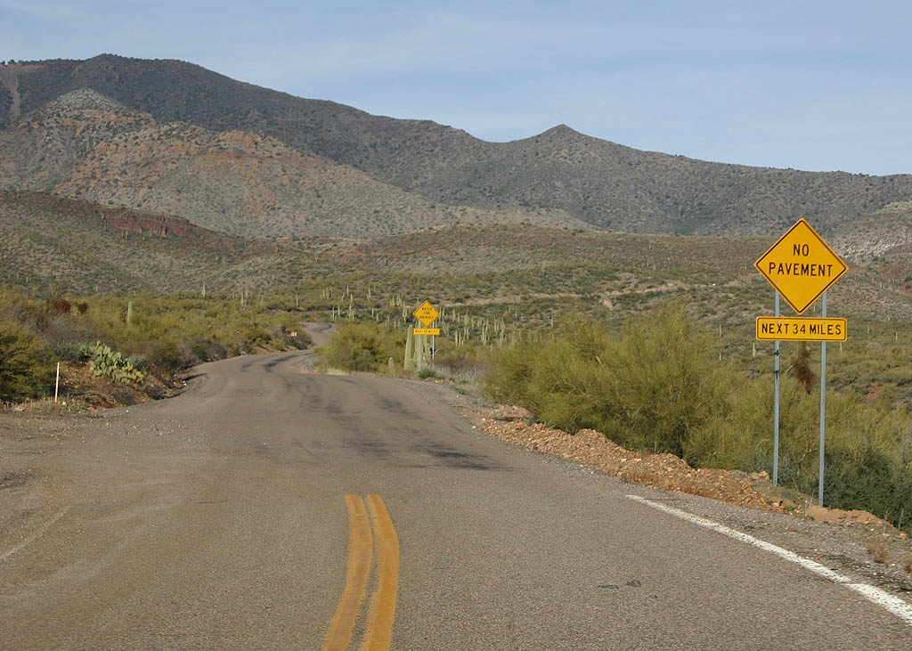
For the next 34 miles, SR 288 will be an unpaved road. However, like many Arizona dirt roads, there is often a cover of pavement, which will be seen for the next several miles.
02/10/08
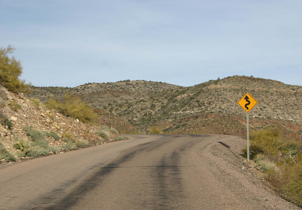
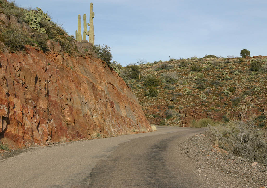
SR 288 leaves the Salt River behind and starts to climb into the Sierra Ancha mountains.
02/10/08
Blind curves are the norm along this one lane section of SR 288.
02/10/08
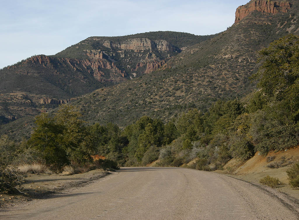
SR 288 passes below Asbestos Point.
02/10/08
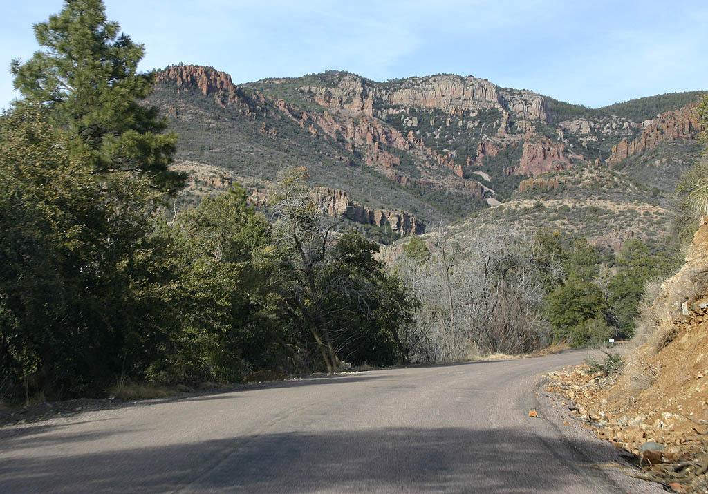
SR 288 passes through the headwaters of Parker Creek. We are now entering the Sierra Ancha range.
02/10/08
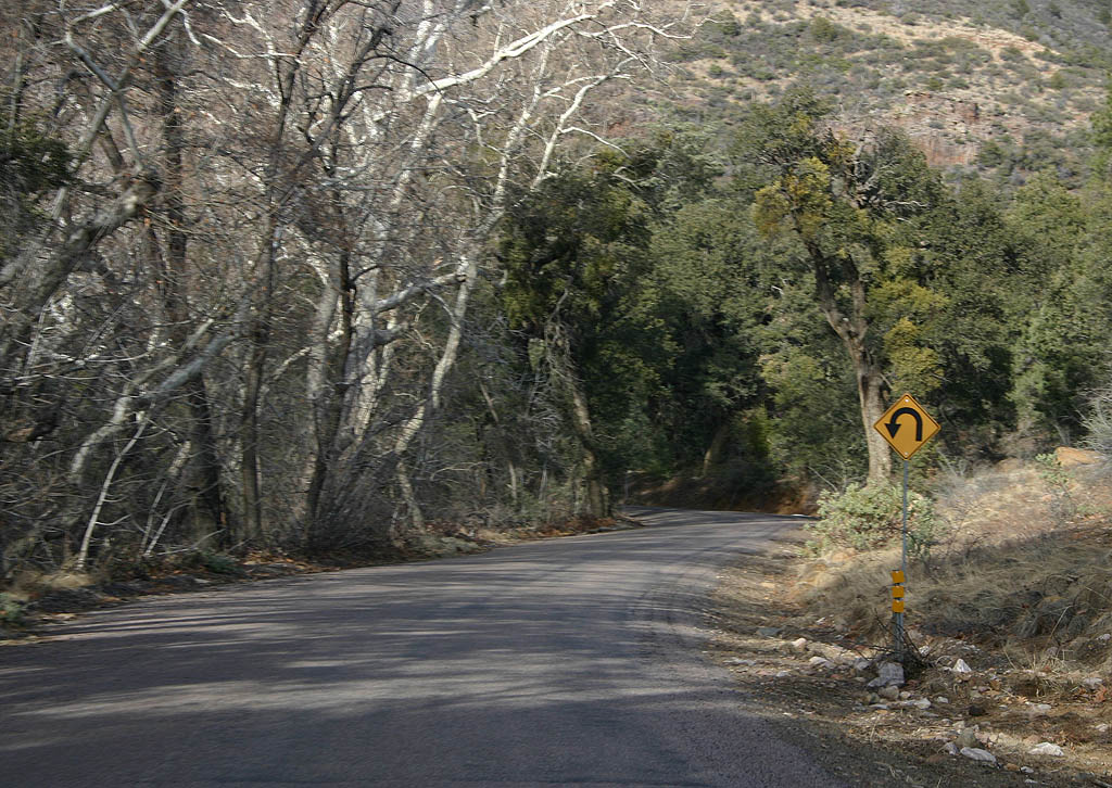
Blind hairpin turns are quite common on SR 288.
02/10/08
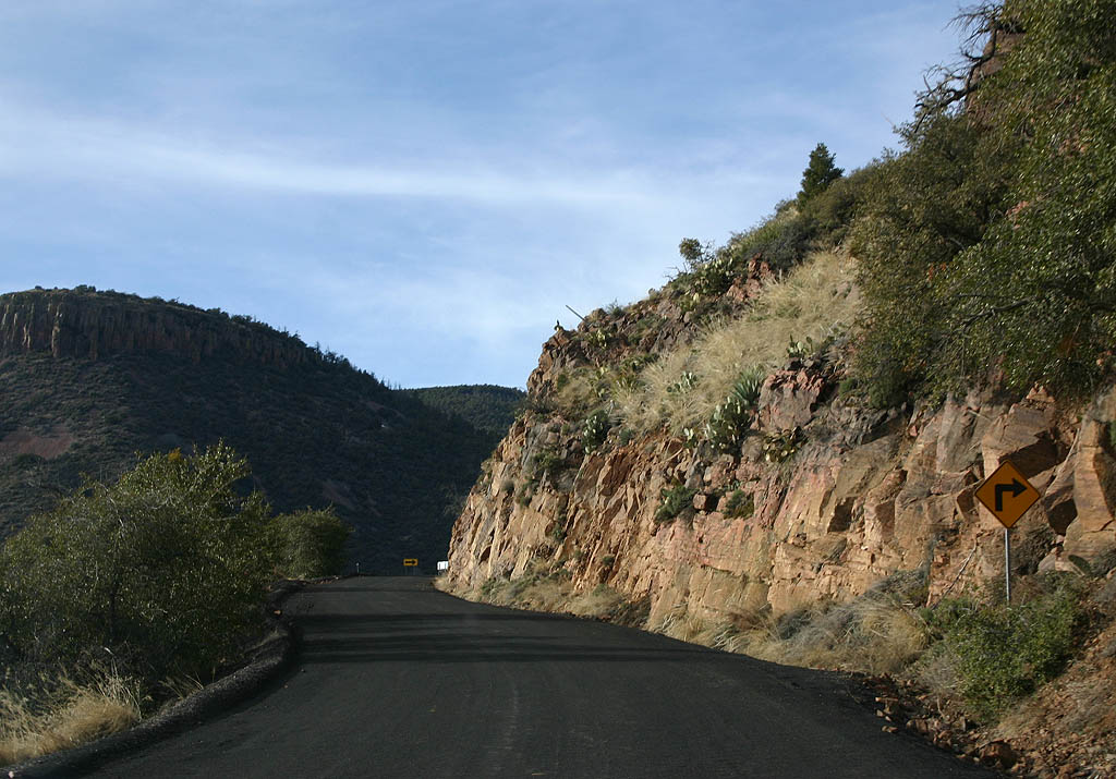
This short paved section seems to have been recently paved. ADOT, however, classifies this road section as dirt. SR 288 is winding around the side of Connor Canyon here.
02/10/08
As we climb further into the Sierra Ancha, snow becomes visible on the side of the road.
02/10/08
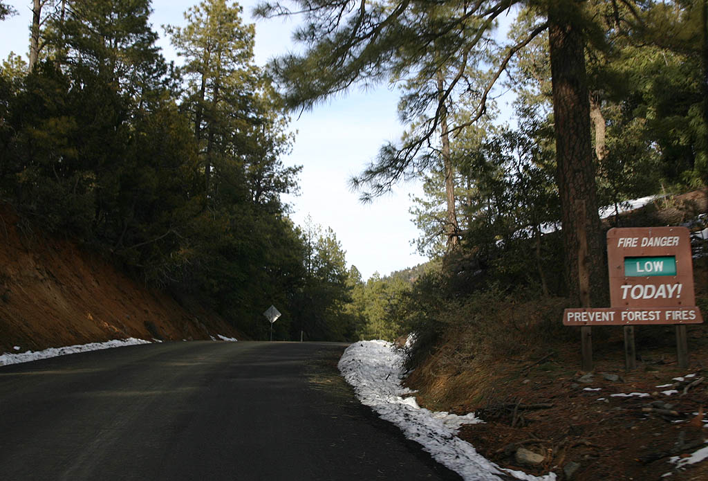
Signs noting fire danger as being low are not often seen in the mountains of Arizona.
02/10/08
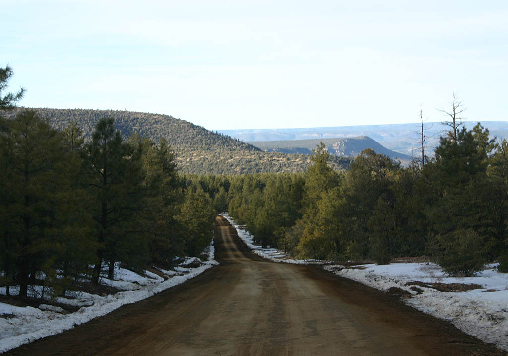
SR 288 now winds around the headwaters of Rose Creek. Notice the thick forests protecting the snowpack, and the muddy road.
02/10/08
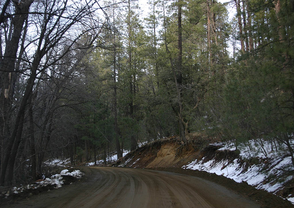
SR 288 sticks to Rose Creek Canyon for a short distance, between the peaks of the Sierra Ancha.
02/10/08
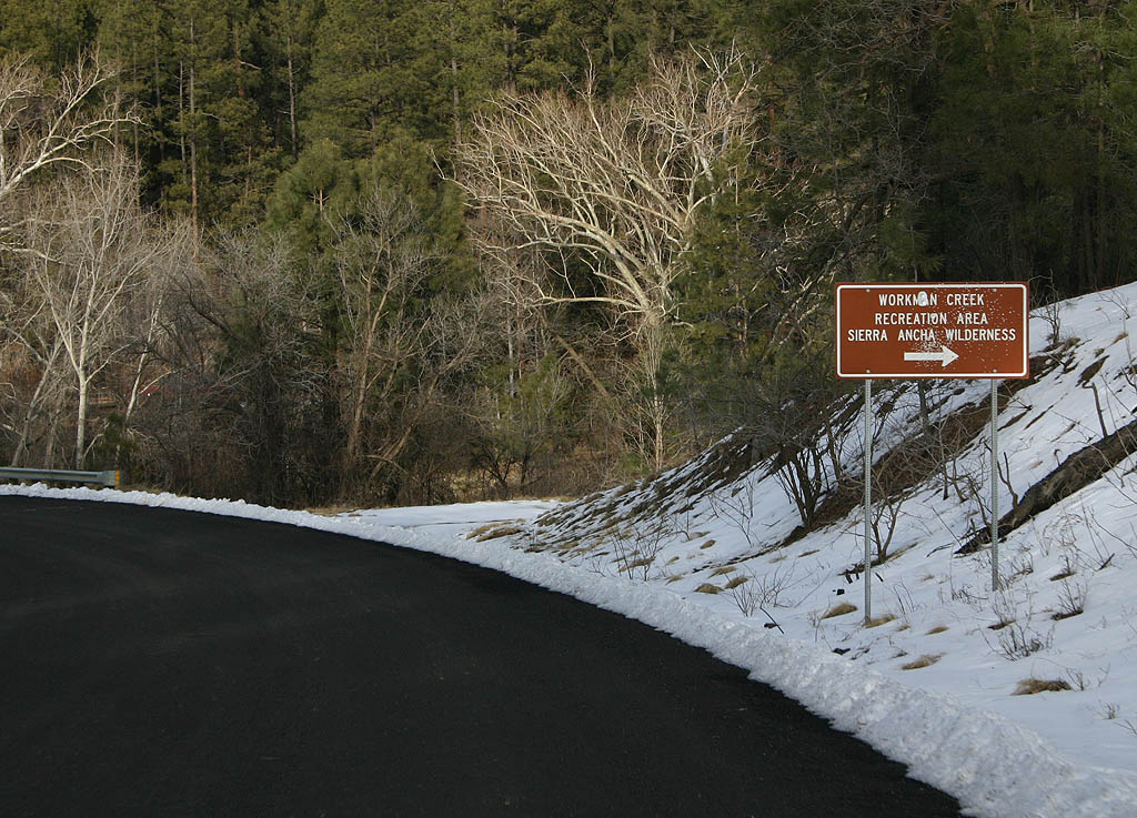
Just after crossing Workman Creek, there is a turnoff for the Workman Creek recreation area and Sierra Ancha Wilderness. At the time of this picture, the road was covered by snow and impassable by vehicles.
02/10/08
SR 288 now climbs up Honey Creek Divide, and begins a twisting descent of Honey Creek.
02/10/08
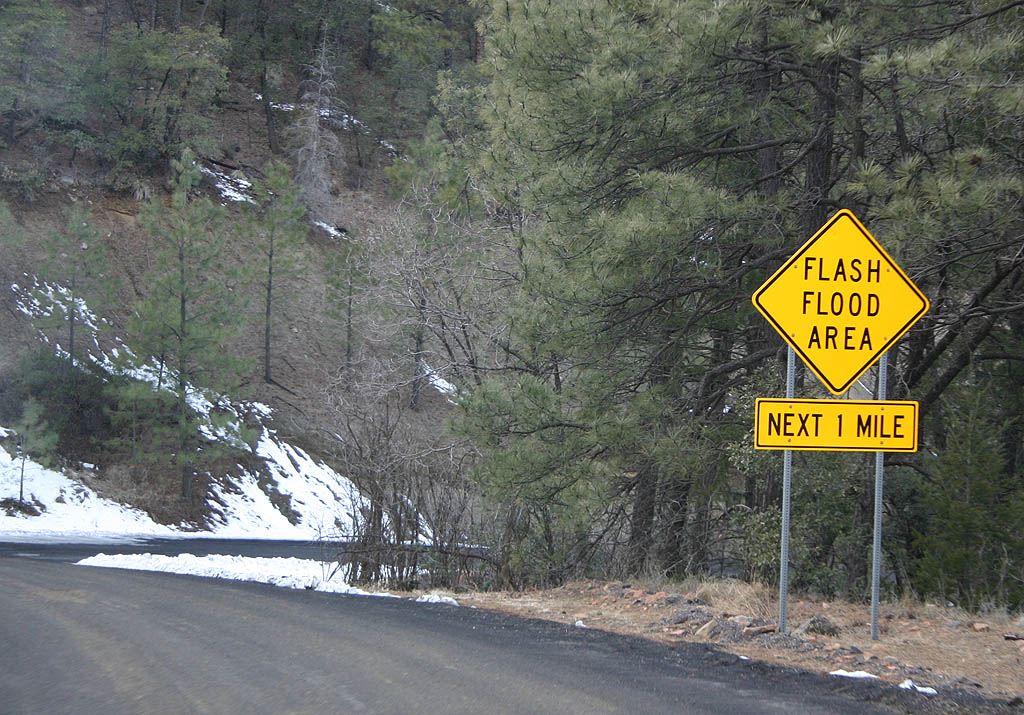
Honey Creek drains into Reynolds Creek, which SR 288 is about to cross. This sign warns of potential flash flooding in Reynolds Creek Canyon.
02/10/08
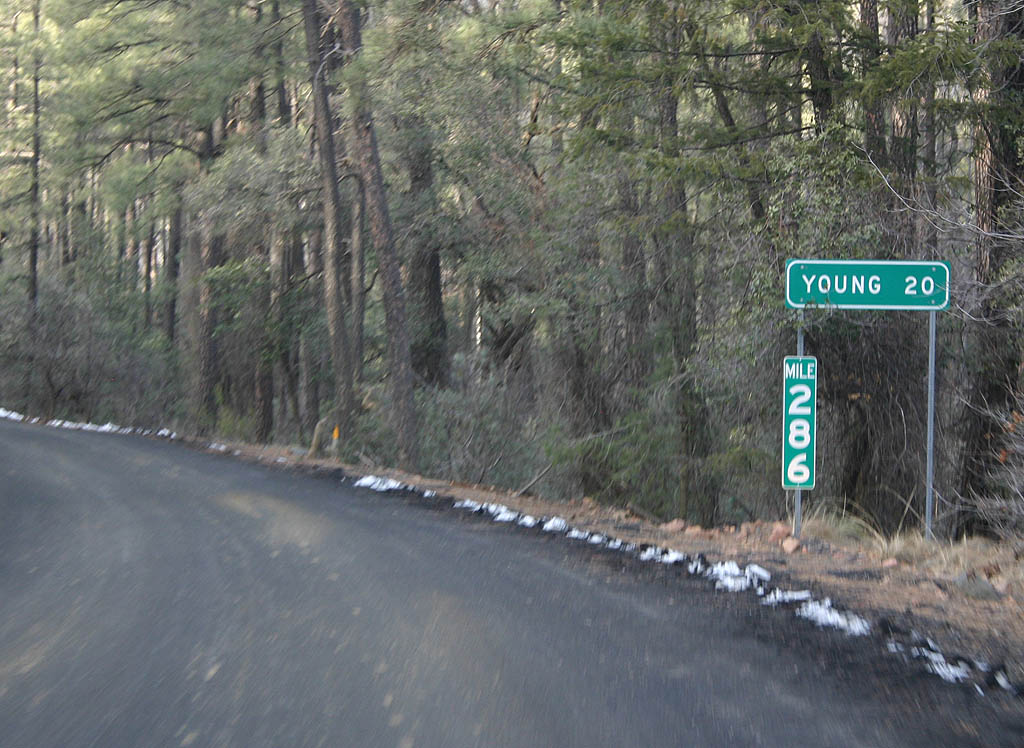
Distance sign to Young, 20 long miles ahead.
02/10/08
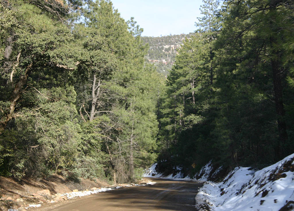
SR 288 now follows McFadden Creek in a 1200 foot deep canyon.
02/10/08
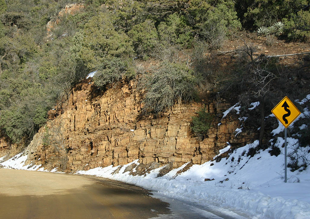
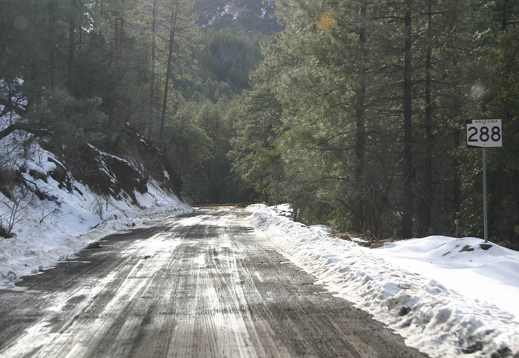
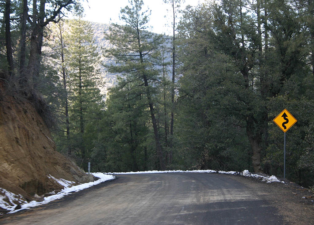
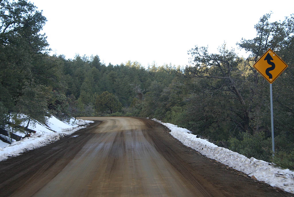
Now returning to a dirt surface at Mile 288, we see another curve warning sign. SR 288 is beginning a climb up the side of McFadden Creek.
02/10/08
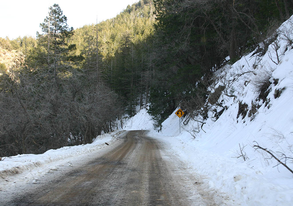
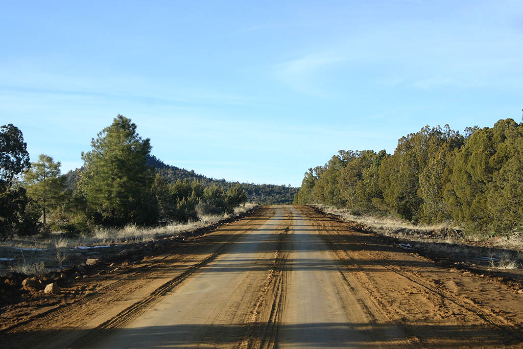
SR 288 turns east to follow a tributary of McFadden Creek. Notice how wintry this photo appears, despite air temperatures of 50 degrees when this photo was taken.
02/10/08
SR 288 reaches it's maximum altitude of 6349 feet and begins a gradual descent into Juniper Flat.
02/10/08
SR 288 twists around the headwaters of PB Creek, staying along the ridgeline.
02/10/08
SR 288 now enters Squaw Mesa, staying around the 6000 foot level.
02/10/08

SR 288 meets FS 486 here. Continue north 8 miles to Young.
02/10/08
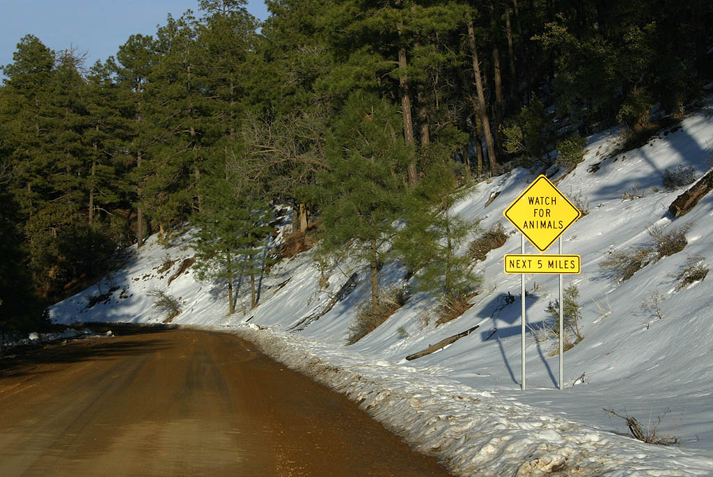
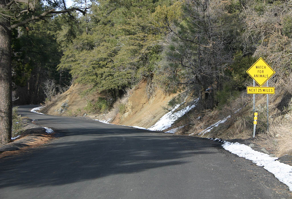
Warning sign for animals, next 5 miles.
02/10/08
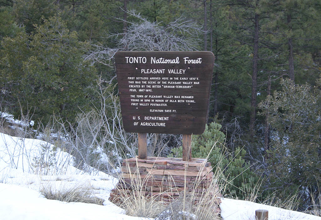
The town of Young sits inside Pleasant Valley. Before descending into the valley, there is an overlook on the side of the road featuring this marker.
02/10/08

SR 288 now descends above Fourmile Canyon to enter Pleasant Valley.
02/10/08
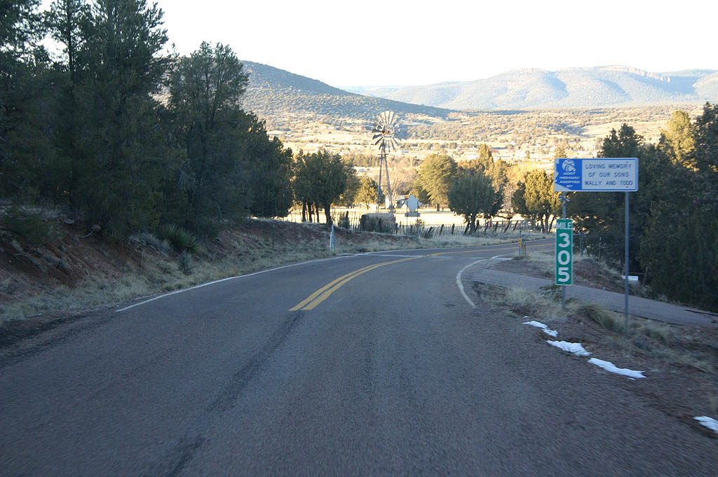
At mile 305, full pavement resumes.
02/10/08
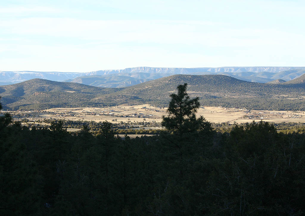
Pleasant Valley lies at approximately 5200 feet in elevation. SR 288 follows land lines as it crosses the valley.
02/10/08
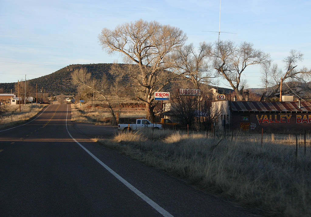
In the background of this photo is the one gas station in Young, next to the Valley Bar.
02/10/08
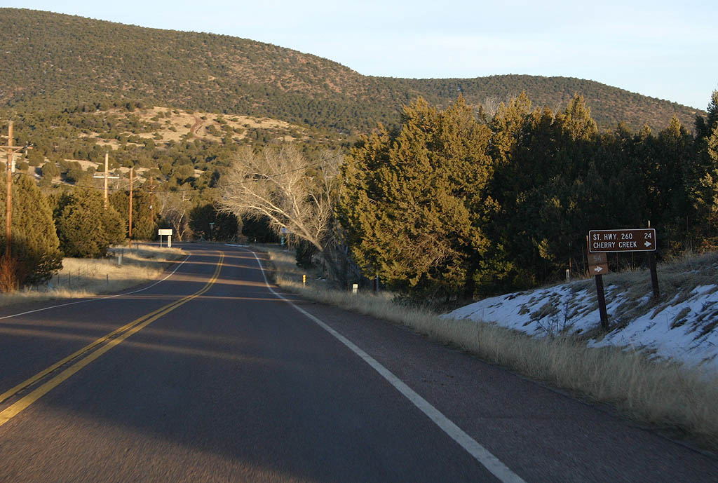
SR 288 meets FS 54 here. FS 54 travels northeast to reach SR 260, on a different route than FS 588 ahead.
02/10/08
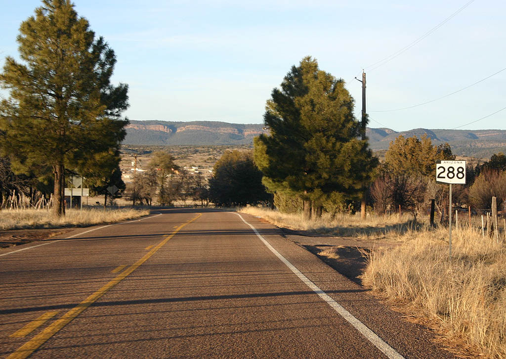
This is the final reassurance marker on northbound SR 288.
02/10/08
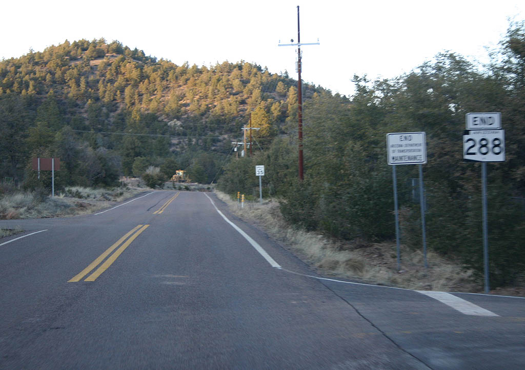
Just north of Young, SR 288 ends. The road continues for a short distance as paved County Road 538 before becoming dirt Forest Road 538. FS 538 is the continuation of the scenic road, and a former Arizona state highway (now decommissioned).
02/10/08
Photo Credits:
- Kevin Trinkle: 02/10/08
Page Updated Friday March 21, 2008.