
State Route 1 North - Dana Point to Laguna Beach
Departing Interstate 5 at Exit 79, SR 1 (Pacific Coast Highway) heads northwestward through coastal Orange County. I-5 turns northeast into San Juan Capistrano, while California 1 remains in Dana Point. The I-5/SR 1 exchange is partially in San Juan Capistrano and Dana Point.
05/02/10
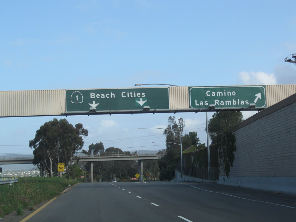
The first exit from SR 1 is the connection to Camino las Ramblas east in San Juan Capistrano.
02/26/11
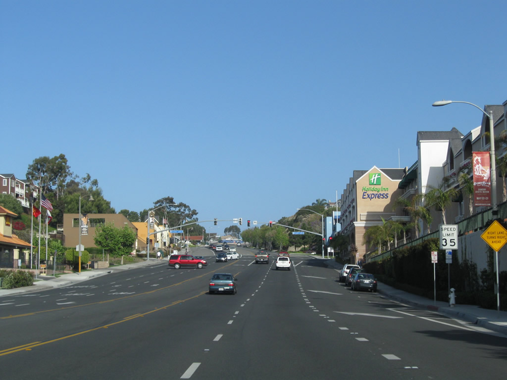
Two lanes link Interstate 5 north with California 1 (Pacific Coast Highway) north. High above is Via California, a local street in Dana Point. Prior to 1964, the segment of California 1 between Interstate 5 in Dana Point-San Juan Capistrano and U.S. 101 in Oxnard was designated as Alternate U.S. 101. This designation was eliminated in favor of a newly extended California 1 designation, since California 1 is the coastal route for significant distances in Central and Northern California. No signage remains for Alternate U.S. 101, and some sections of California 1 are maintained locally by the cities through which it passes.
05/02/10
The transition ramp between Interstate 5 north and California 1 north passes under Camino Las Ramblas before the two merge together to form the Pacific Coast Highway.
05/02/10
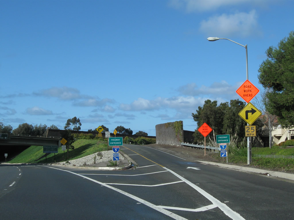
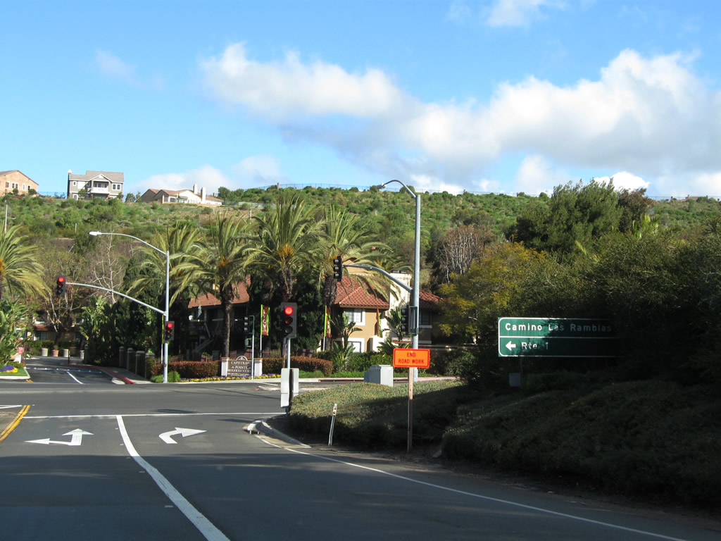
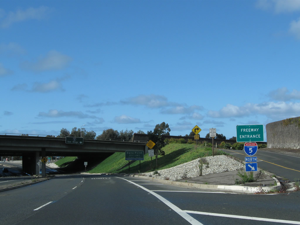
Camino Las Ramblas west as it passes through the Interstate 5 interchange and merges with the transition ramp from Interstate 5 north to California 1 north. Camino Las Ramblas has a connecting ramp to Interstate 5 north, followed by a loop ramp to Interstate 5 south. The ramps merge together to form the northbound mainline for California 1.
02/26/11
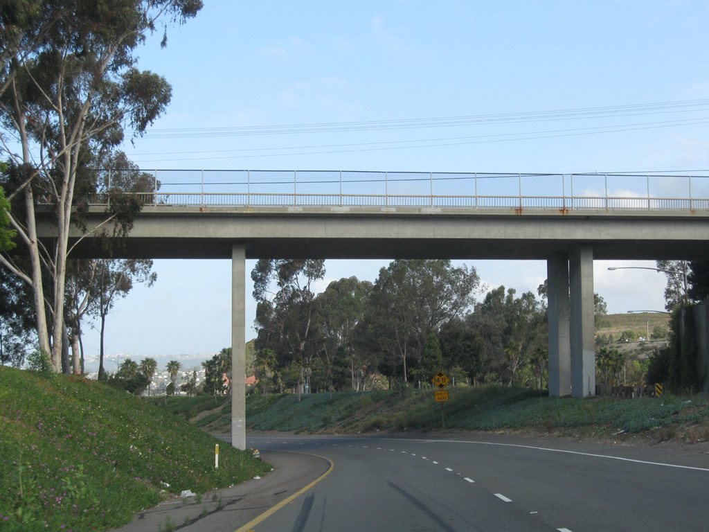
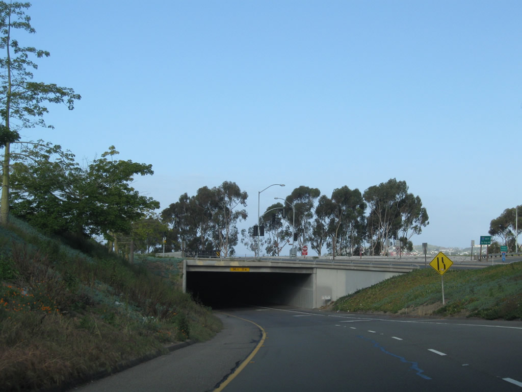
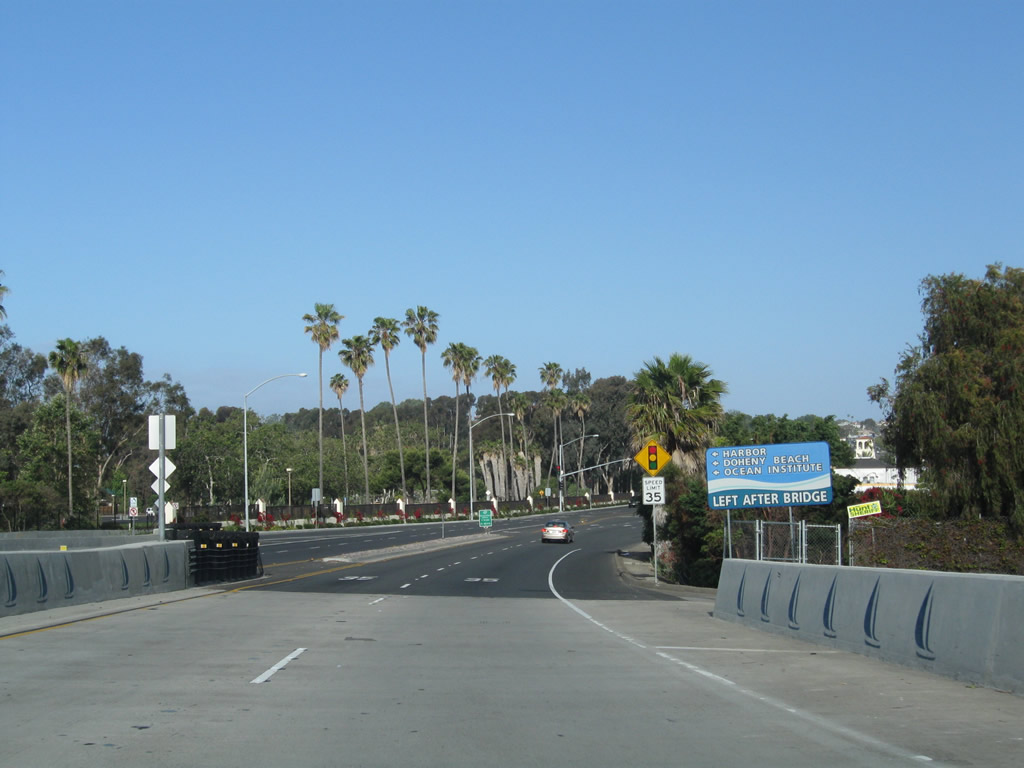
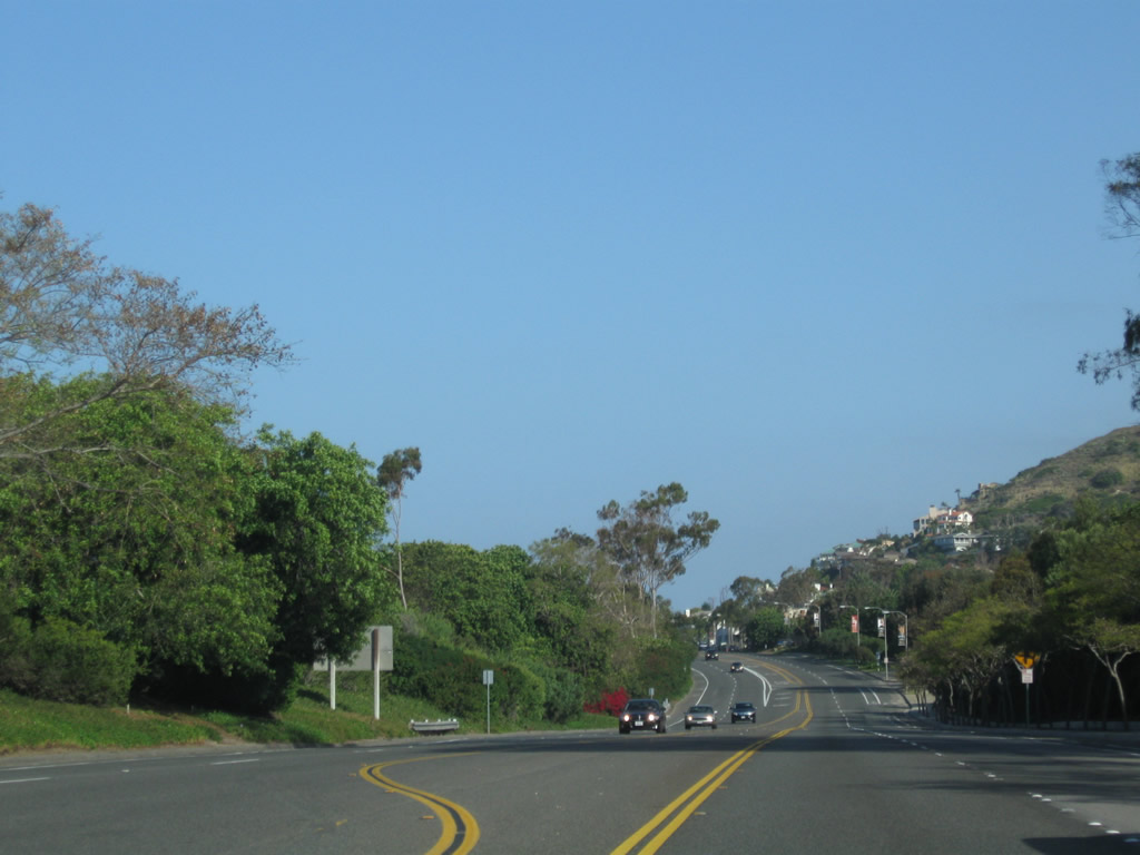
California 1 briefly has a freeway alignment (for about a mile) between Interstate 5 and the San Juan Creek crossing. The next exit along California 1 (Pacific Coast Highway) is Exit 1, Doheny Park Road to Coast Highway south and the community of Capistrano Beach (part of the city of Dana Point).
05/02/10
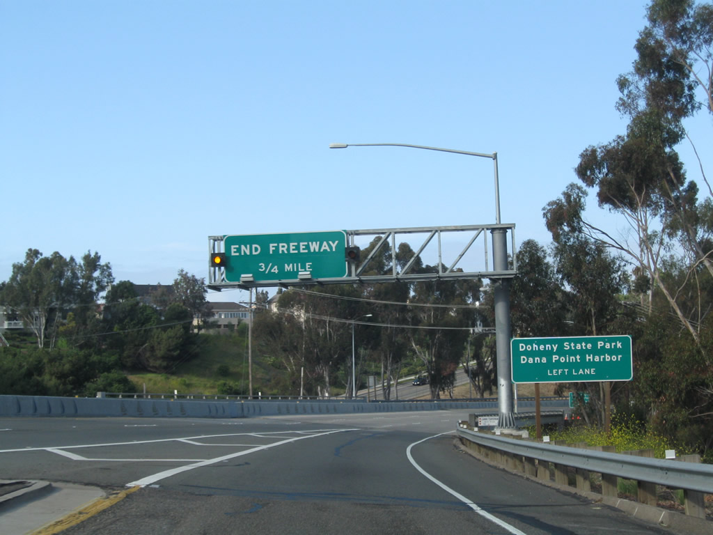
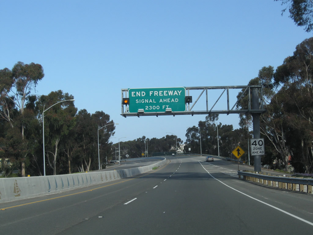
California 1 merges in with traffic from Camino las Ramblas. After the Exit 1 interchange, this freeway segment of California 1 will end (in about 0.75 mile). Follow California 1 north to Dana Harbor and Doheny State Beach.
05/02/10
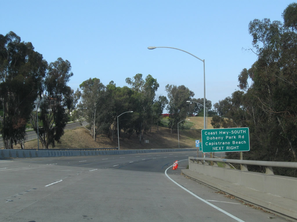
The next exit along California 1 north is Exit 1, Doheny Park Road to Coast Highway south and the community of Capistrano Beach (part of the city of Dana Point).
05/02/10
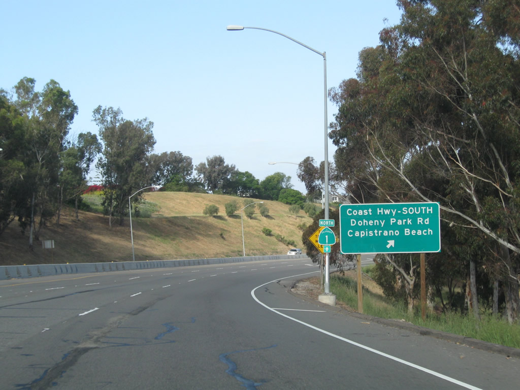
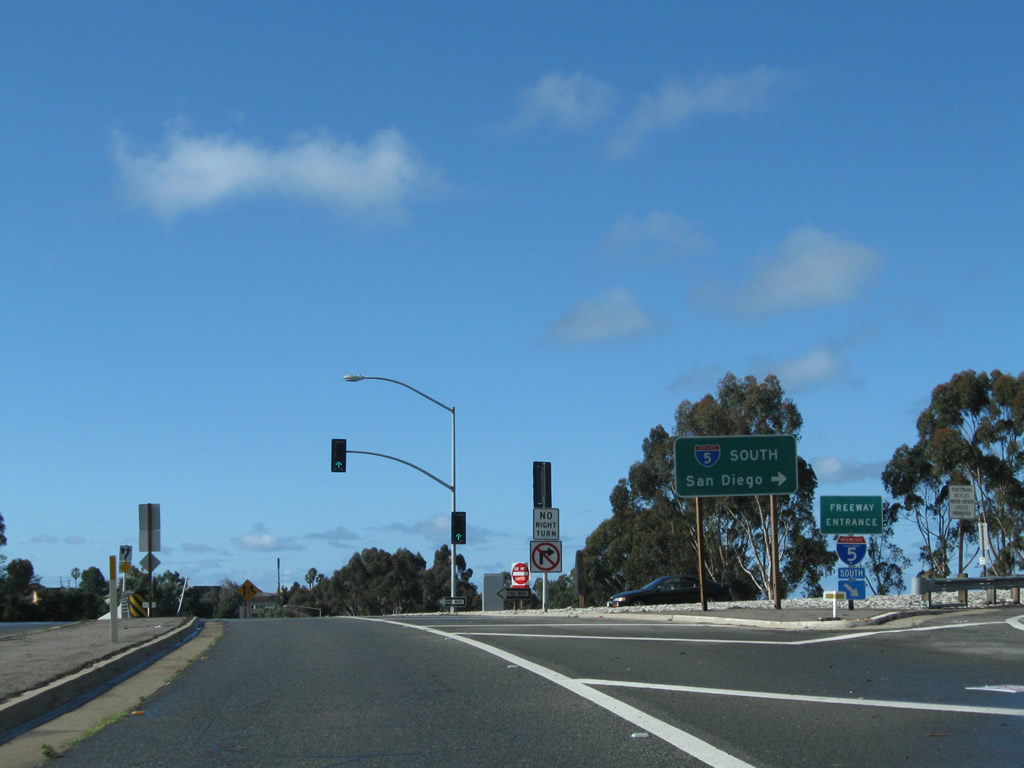
Northbound California 1 meets Exit 1, Doheny Park Road to Coast Highway south and the community of Capistrano Beach (part of the city of Dana Point). Stay left for the coastal route to Dana Point, Laguna Beach, Newport Beach, and Huntington Beach.
05/02/10
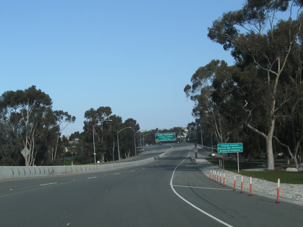
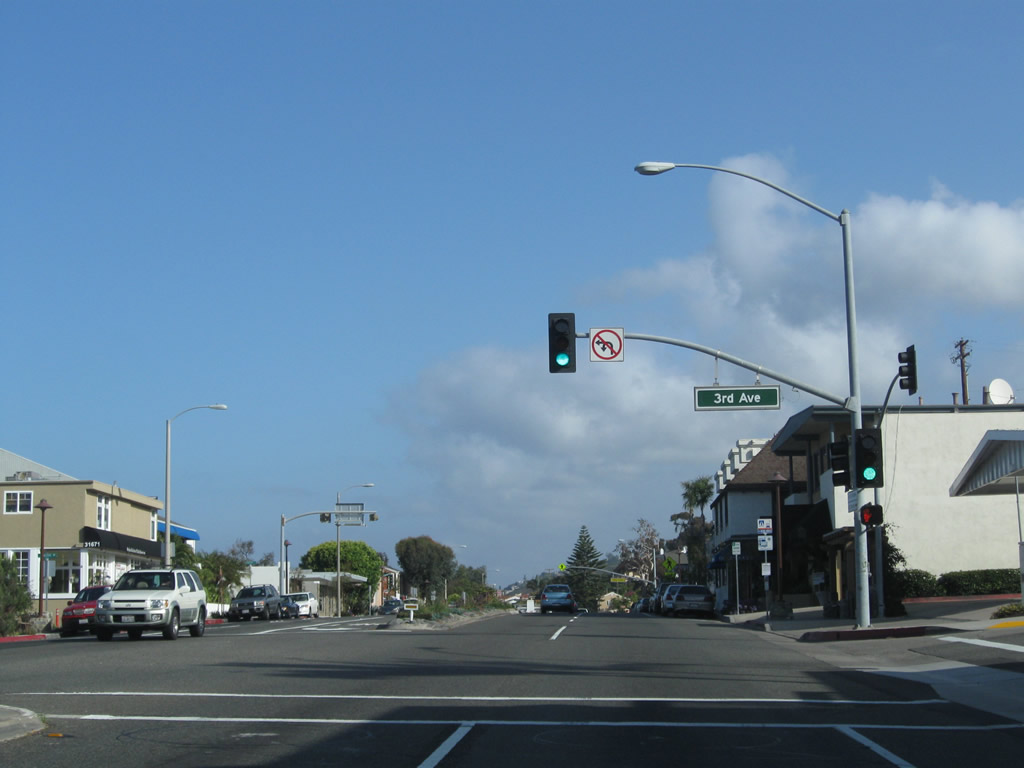
California 1 is also known as the Orange County Korean War Veterans Memorial Highway.
05/02/10
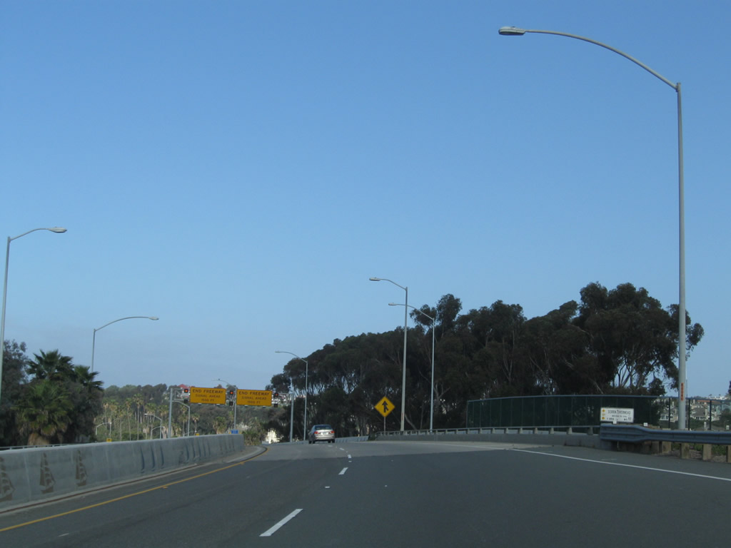
As traffic from Doheny Park Road north merges onto California 1, an overhead sign advises of the pending end of the freeway segment. The first two traffic signals along northbound are with Doheny Park Plaza and Del Obispo Street.
05/02/10
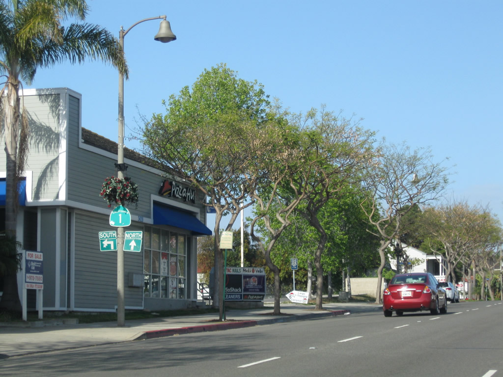
California 1 passes over Doheny Park Road, which used to be U.S. 101 until the designation was removed in 1964. The US route used to follow Coast Highway through San Clemente, turn northeast on Doheny Park Road, and continue into San Juan Capistrano along Camino Capistrano. At the Serra Overhead, California 1 crosses over the railroad tracks (old Santa Fe Railroad) that carry passenger rail service operated by Metrolink and Amtrak.
05/02/10
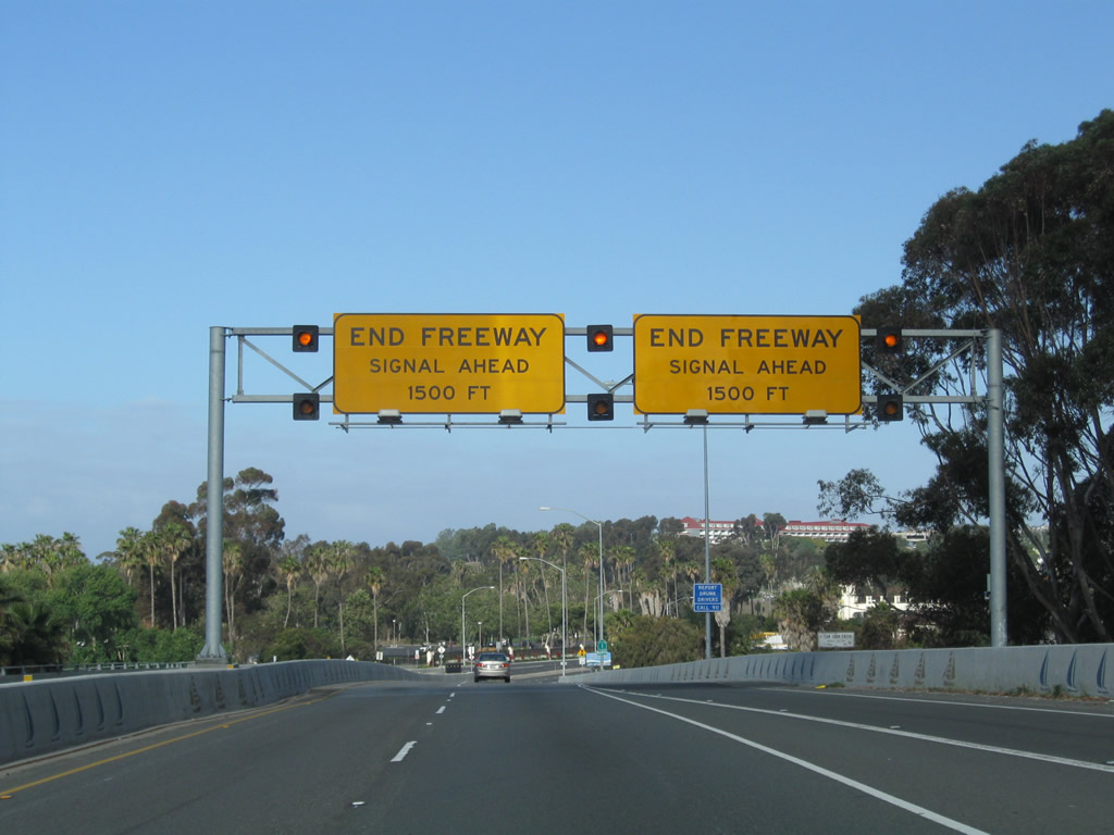
A pair of end freeway signs (this time yellow) are posted over the northbound lanes of California 1. Ahead, the Pacific Coast Highway will pass over San Juan Creek, then proceed into downtown Dana Point.
05/02/10
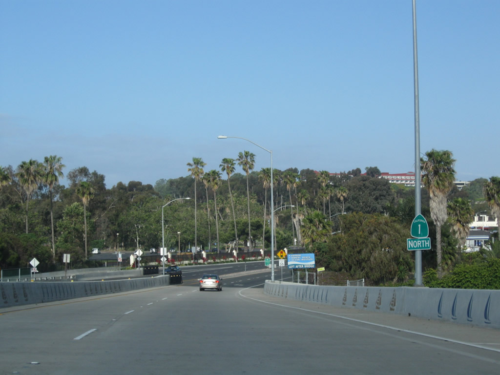
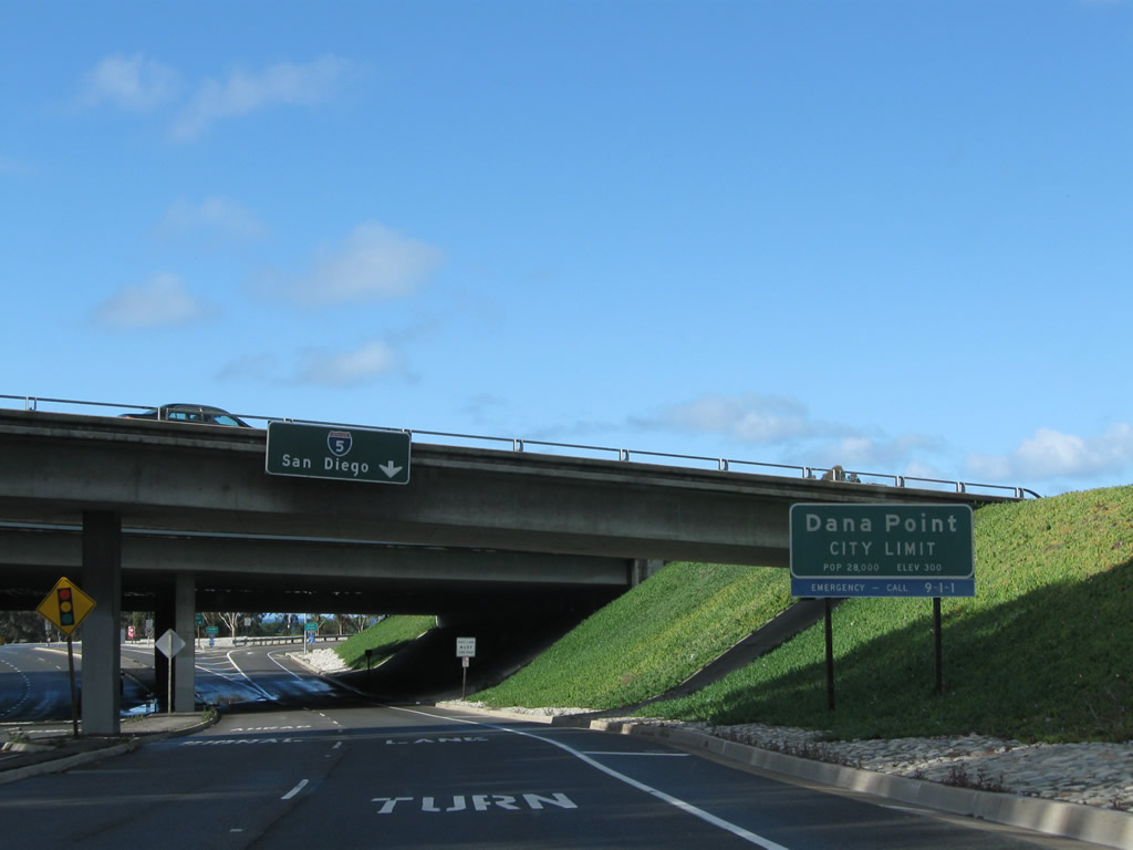
A reassurance shield stands along the bridge carrying SR 1 north over San Juan Creek. The succeeding section of the Coast Highway west into Dana Point was relinquished as a state route.
05/02/10
The city of Dana Point placed this advance guide sign, advising traffic to use Dana Point Harbor Drive west to Doheny State Beach, Dana Point Harbor, and Ocean Institute. Watch for cross-traffic ahead.
05/02/10
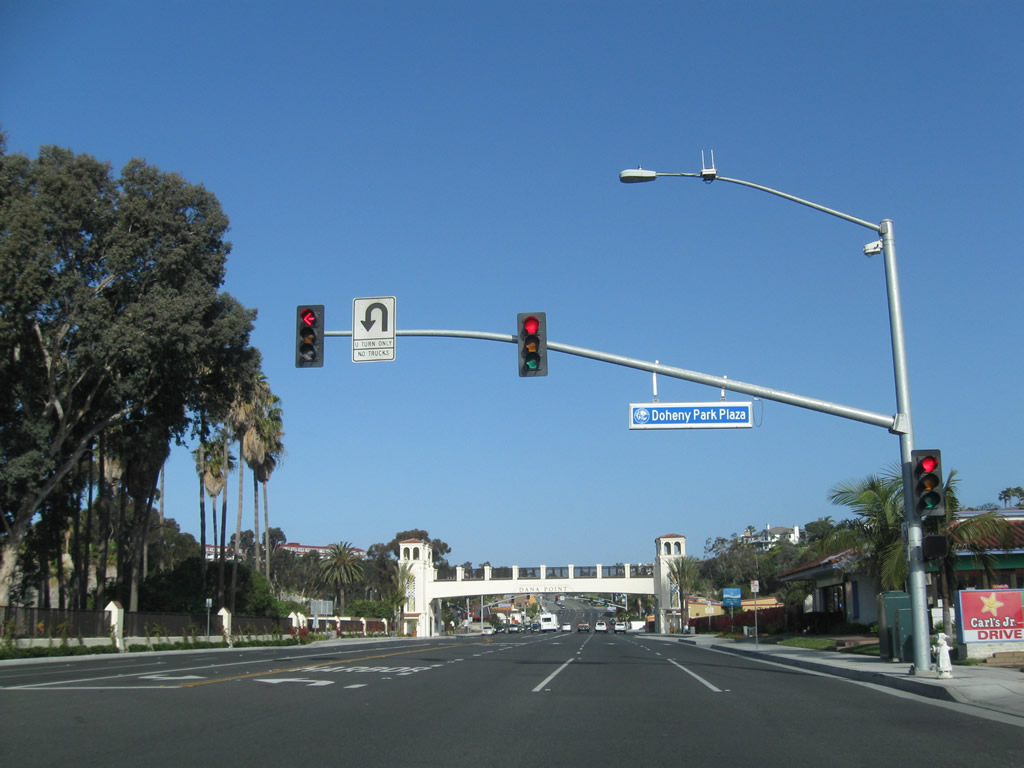
Northbound Pacific Coast Highway (relinquished SR 1) meets Doheny Park Plaza at this intersection.
05/02/10
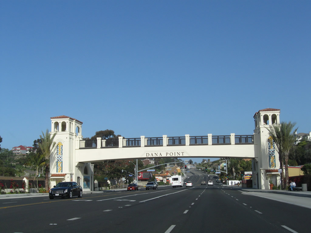
The PCH passes under a pedestrian bridge and arch to welcome visitors to the city of Dana Point ("Harboring the Good Life"). Dana Point had a population of 35,110 as of the 2000 Census; the city incorporated on January 1, 1989. The downtown area around Dana Point Harbor through which many of the "Streets of the Lantern" pass, is known as the Lantern District.
05/02/10
The next traffic signal along PCH north is with Del Obispo Street north and Dana Point Harbor Drive west. Dana Point Harbor Drive leads to Dana Point Harbor and Doheny State Beach.
05/02/10
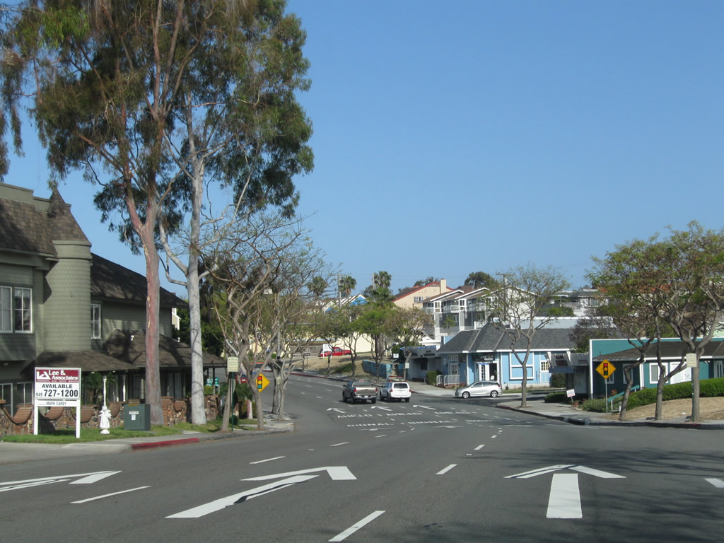
Gaining elevation, the PCH (former SR 1) travels westward toward the intersection with Street of the Crystal Lantern. According to the official History of Dana Point web site,4when the city was laid out, several significant streets were named after lanterns, as street lights modeled after old sailing kerosene lanterns illuminated these major roadways. This history is preserved with the street names.
05/02/10
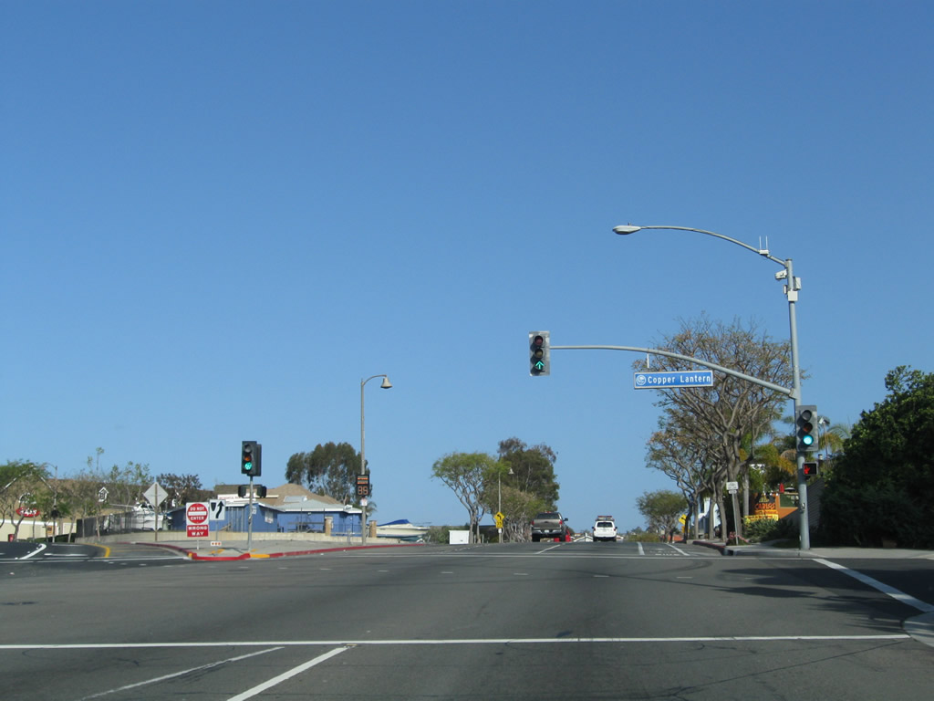
California 1 formerly divided into a one-way couplet at Street of the Copper Lantern. Northbound traffic remained on Pacific Coast Highway, while southbound traffic used Del Prado Avenue. The two directions reunited at Street of the Blue Lantern west of Downtown.
05/02/10
The former one-way Coast Highway westbound through Downtown Dana Point. Conversion of Coast Highway to two-way traffic was completed on September, 2014. With shops and restaurants lining both sides, the locally maintained road is now a landscaped four-lane boulevard.
05/02/10
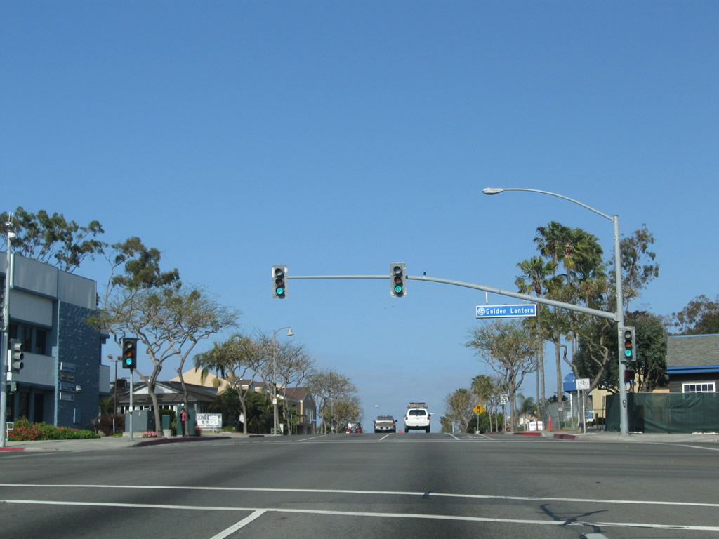
Street of the Golden Lantern constitutes the main arterial south from Laguna Hills into Dana Point. The four-lane roadway angles southeast from Downtown to Lantern Bay Village, Heritage Park, Lantern Bay County Park and Dana Point Harbor.
05/02/10
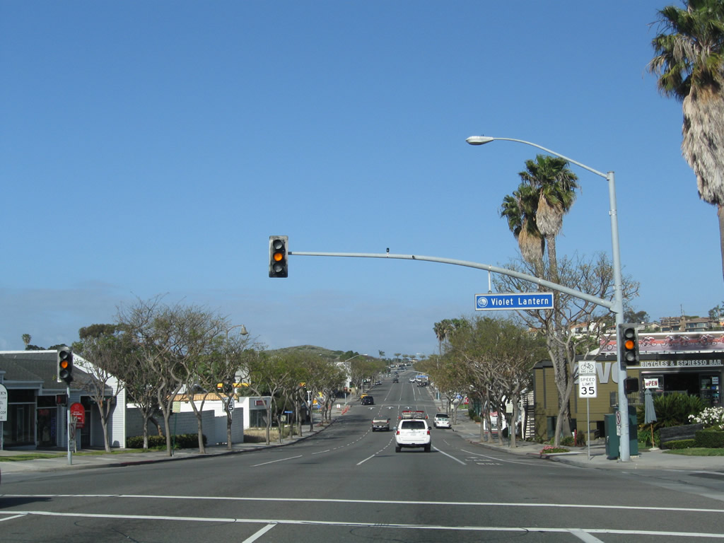
The ensuing westbound signal Coast Highway (former SR 1) is located at Street of the Violet Lantern.
05/02/10
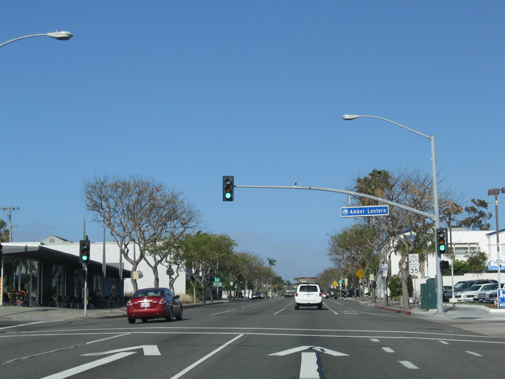
The mixed use Prado West development occupies the block southwest of Coast Highway and Street of the Amber Lantern. Construction on the project started in 2015.
05/02/10
Trailblazers for SR 1 previously appeared along Coast Highway west ahead of Street of the Ruby Lantern.
05/02/10
A reassurance shield for SR 1 north followed as Coast Highway combined with Del Prado Avenue. With the decommissioning through Dana Point, no signs are posted for the state route now.
05/02/10
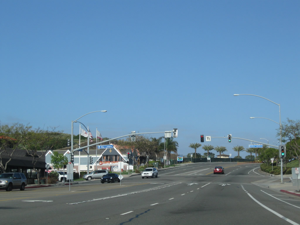
Coast Highway intersects Street of the Blue Lantern to the immediate west of Del Prado Avenue (former SR 1 south).
05/02/10
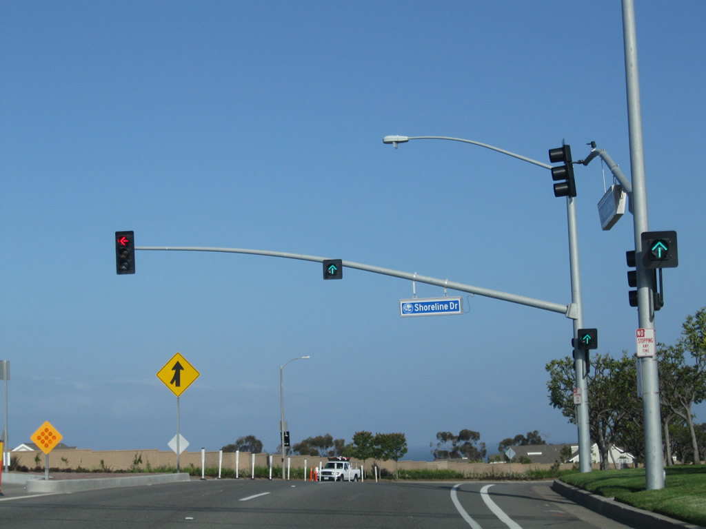
Shoreline Drive stems south from the PCH to The Strand gated community overlooking Dana Point and San Juan Rocks.
05/02/10
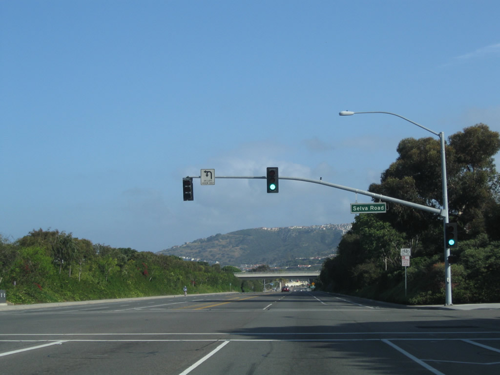
Mirroring the Pacific Ocean coastline north from Dana Point, the PCH (former SR 1) curves northwest from Shoreline Drive to Selva Road.
05/02/10
The Pacific Coast Highway advances north from Selva Road with controlled access to Niguel Road / Ritz Carlton Drive. An overpass carries Niguel Shores Drive over the former state route on this stretch.
05/02/10
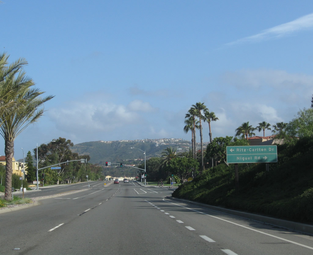
Niguel Road winds south from Crown Valley Parkway to end opposite Ritz Carlton Drive at the PCH.
05/02/10
Ritz Carlton Drive loops west to the Ritz Carlton Hotel and Salt Creek Beach Park as the Coast Highway continues north by Sea Terrace Community Park to the Dana Point community of Monarch Beach.
05/02/10
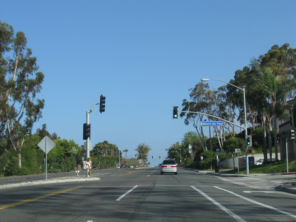
Progressing northwest through Monarch Beach, the PCH crosses Monarch Beach Golf Links rises along side Monarch Bay Plaza.
05/02/10
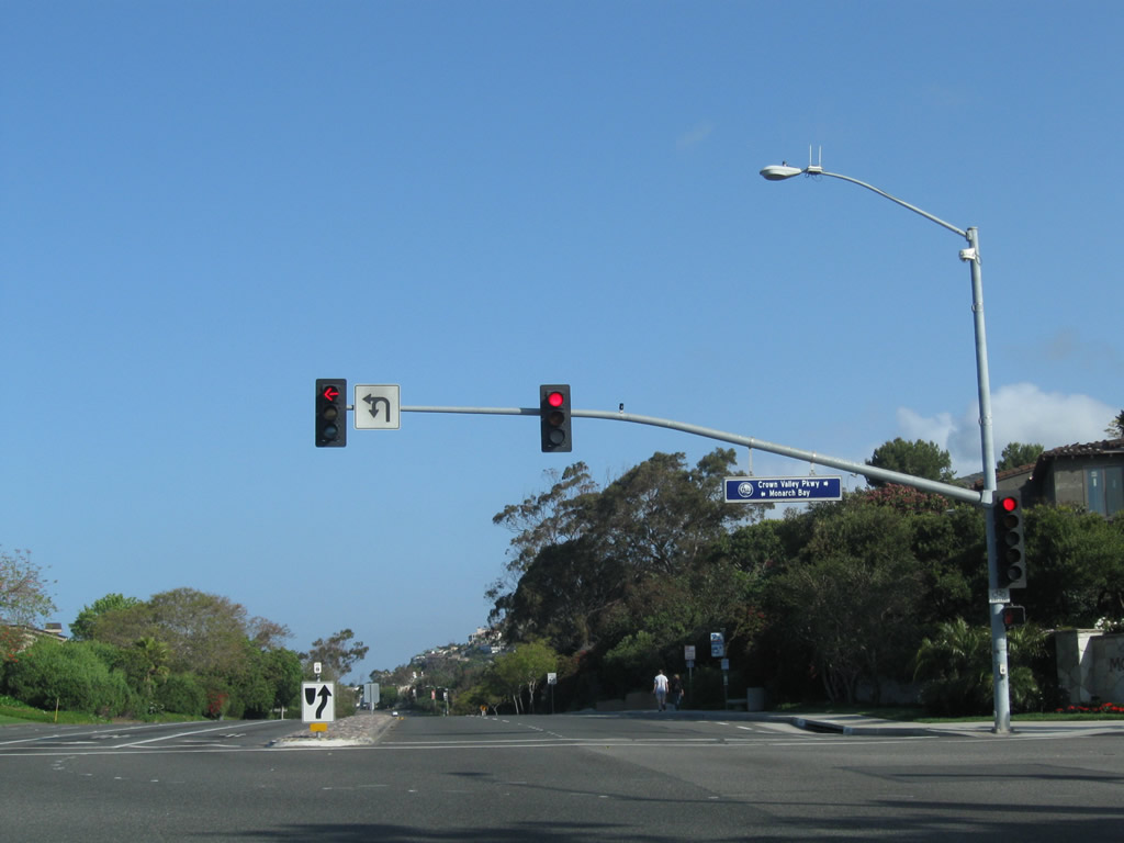
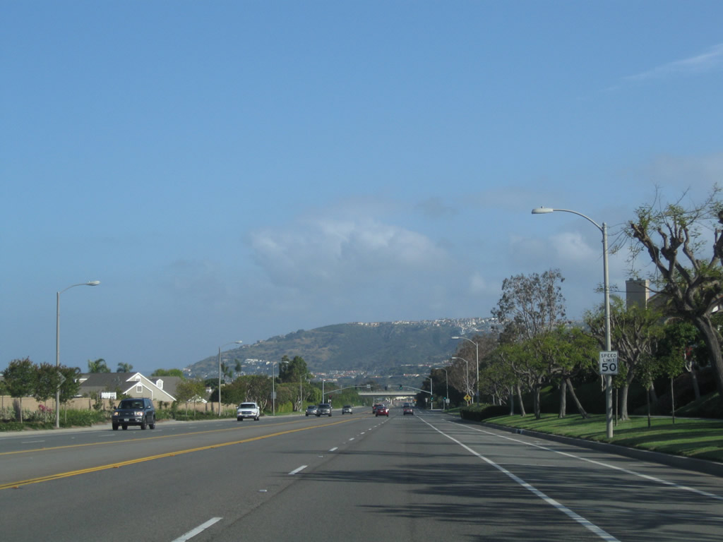
Crown Valley Parkway constitutes a major arterial route heading north into the city of Laguna Niguel, then turning east to serve southern Mission Viejo (Interstate 5) and Ladera Ranch, ending at Antonio Parkway. Monarch Bay Drive ties into the intersection with Crown Valley Parkway from a neighborhood to the west.
05/02/10
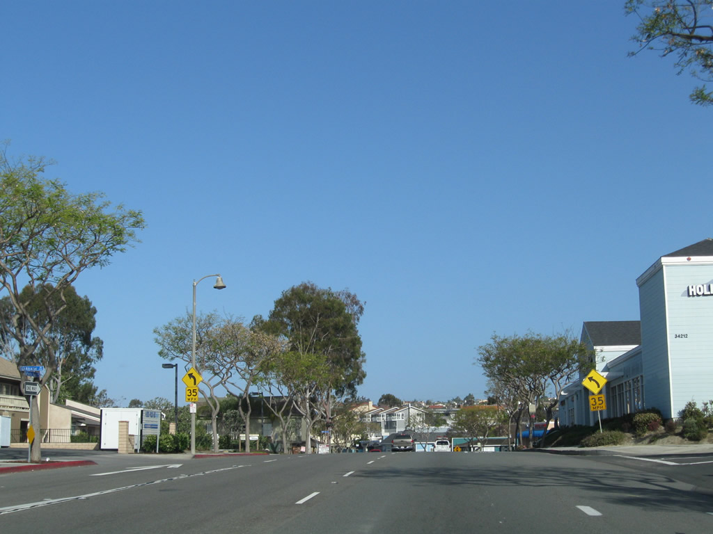
Pacific Coast Highway continues 0.4 miles northwest from Crown Valley Parkway to resume as SR 1 at East Line Road and the Laguna Beach city line.
05/02/10
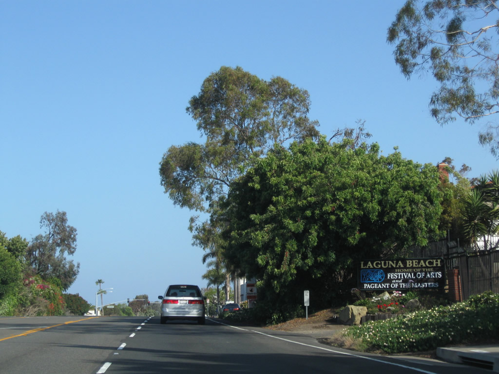
Entering the city of Laguna Beach. The city was home to 23,190 as estimated by the Census in 2016; it incorporated on June 29, 1927. While well known for its beaches, Laguna Beach is also known for the arts, including the Pageant of the Masters and a variety of galleries.
05/02/10
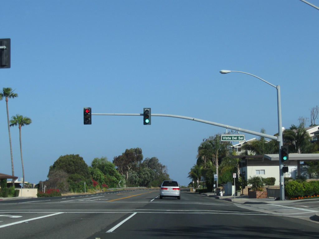
California 1 (Coast Highway) approaches Vista del Sol in Three Arch Bay.
05/02/10
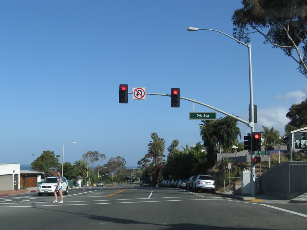
The next traffic signal along California 1 (Coast Highway) north is with Ninth Avenue.
05/02/10
Entering the community of South Laguna, northbound California 1 (Coast Highway) approaches Third Avenue.
05/02/10
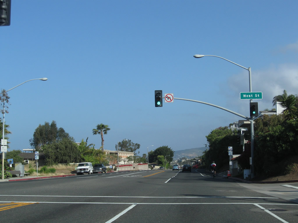
Northbound California 1 (Coast Highway) meets West Street at this traffic signal.
05/02/10
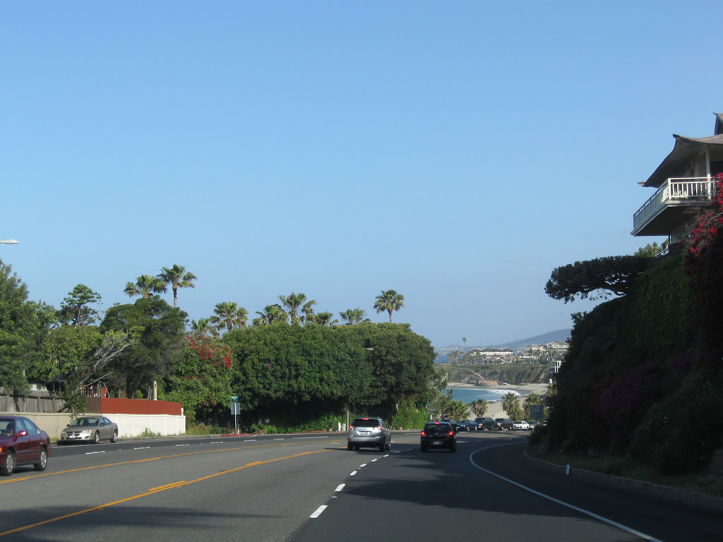
Shortly thereafter, the Pacific Ocean comes into view.
05/02/10
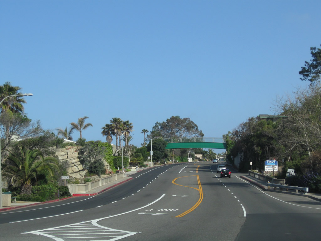
California 1 descends into the valley formed by Aliso Creek. The concrete T-beam arch bridge spanning the creek at Aliso County Park was built in 1926 and widened in 1932.
05/02/10
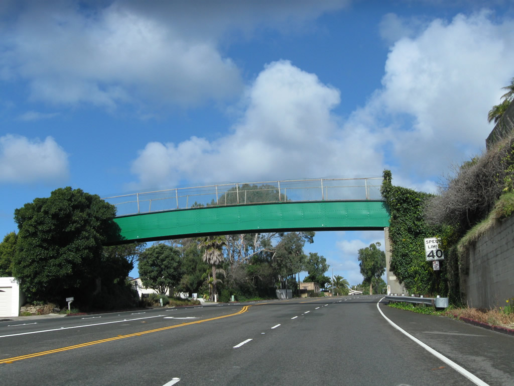
A 1929 pedestrian over crossing bridge spans SR 1 north beyond Aliso Creek and Country Club Drive.
02/26/11
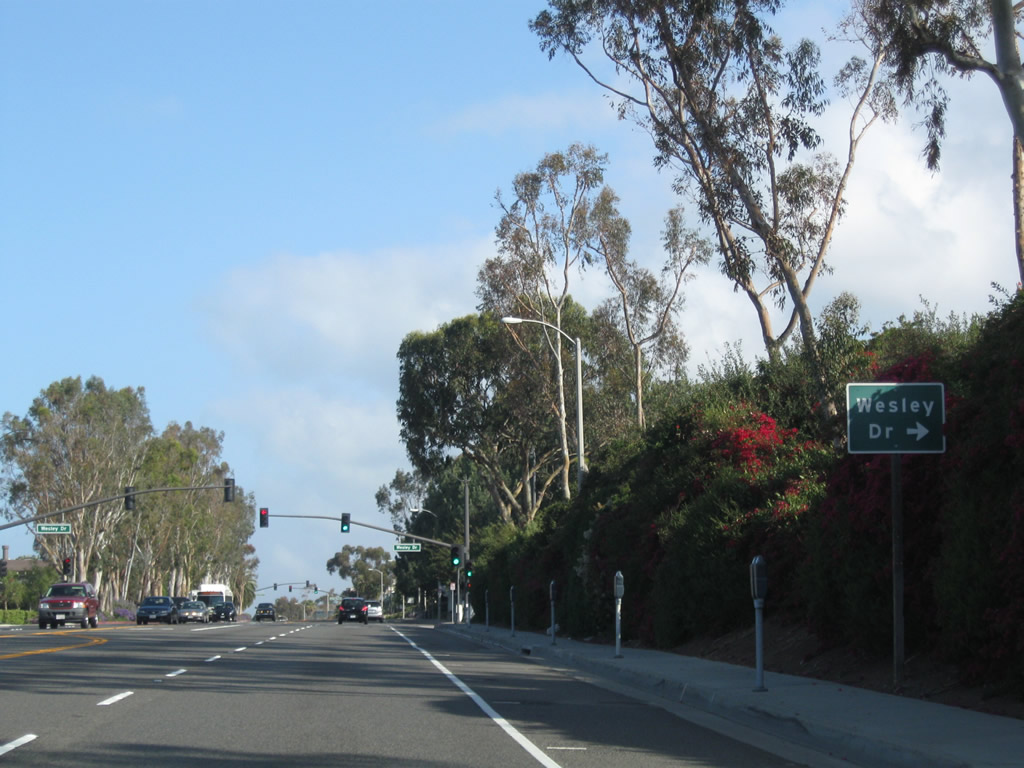
Northbound California 1 (Coast Highway) approaches Wesley Street in Laguna Beach.
05/02/10
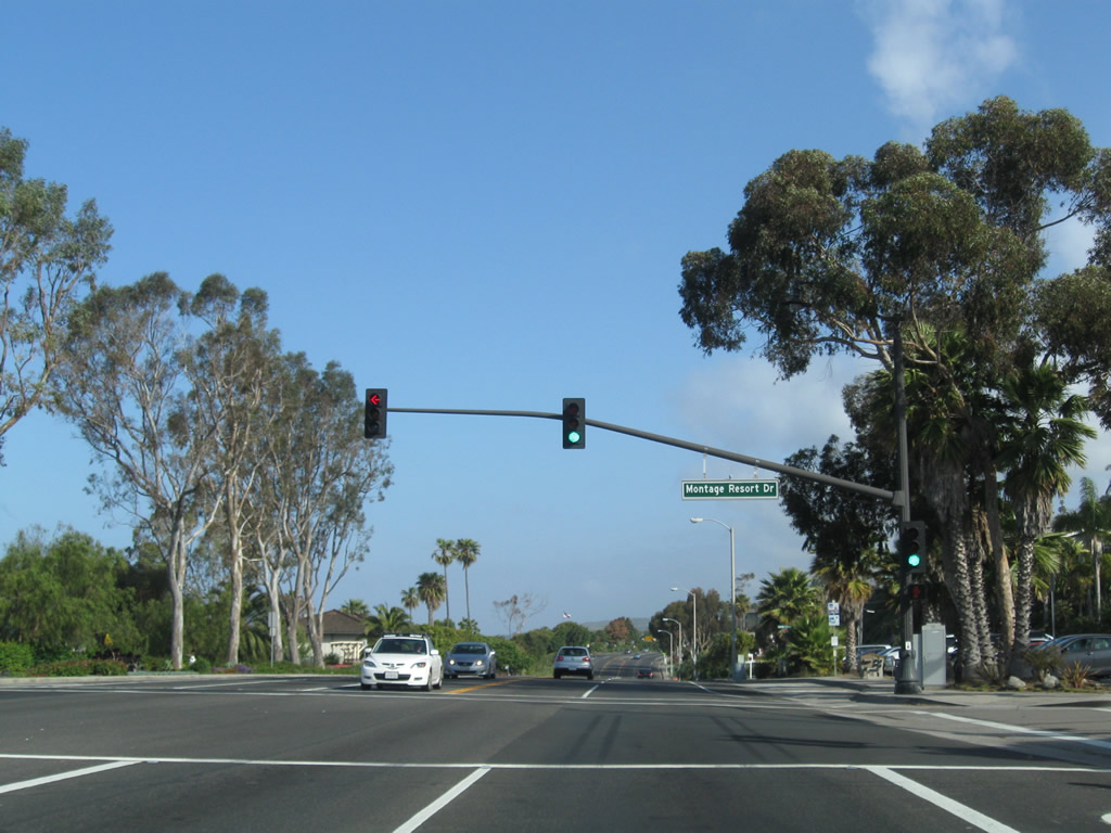
California 1 (Coast Highway) meets Montage Resort Drive at this traffic signal.
05/02/10
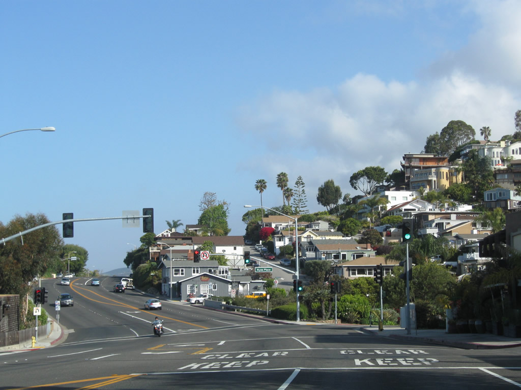
Houses and residential development lines the hillsides by the intersection with Nyes Place.
05/02/10
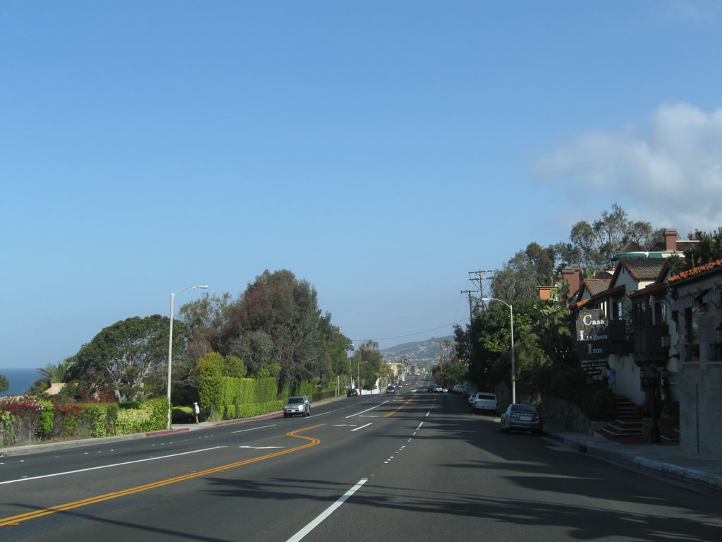
California 1 continues north from Nyes Place by the Casa Laguna Inn.
05/02/10
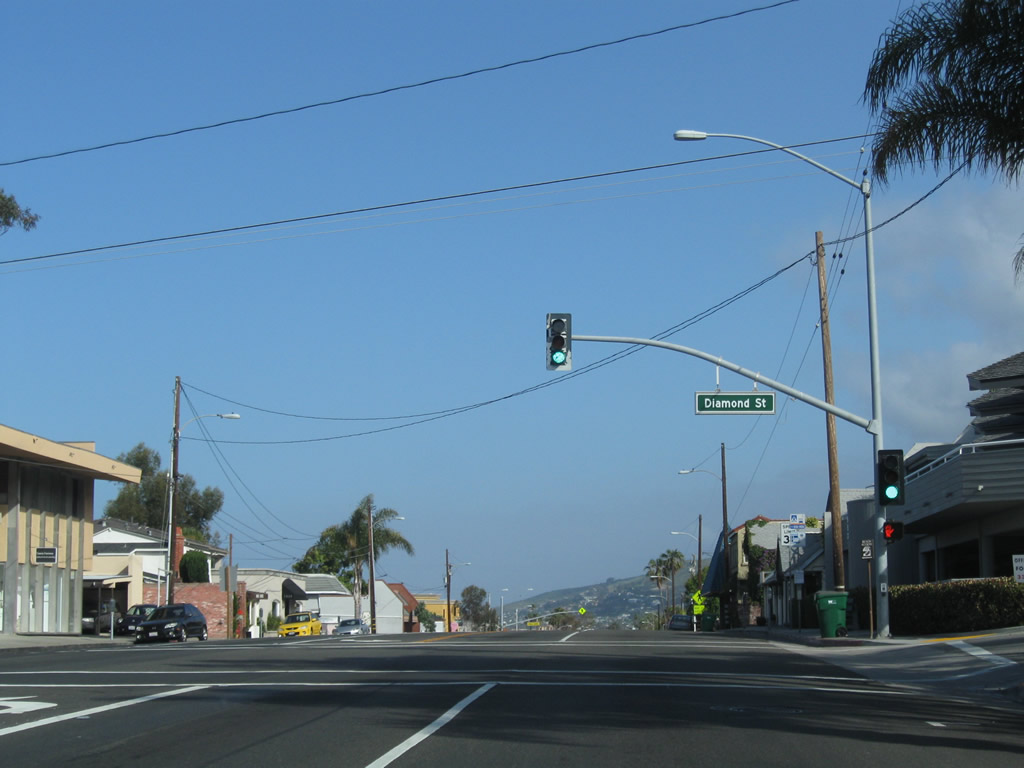
Advancing north, the succeeding traffic light SR 1 (Coast Highway) is at Diamond Street.
05/02/10
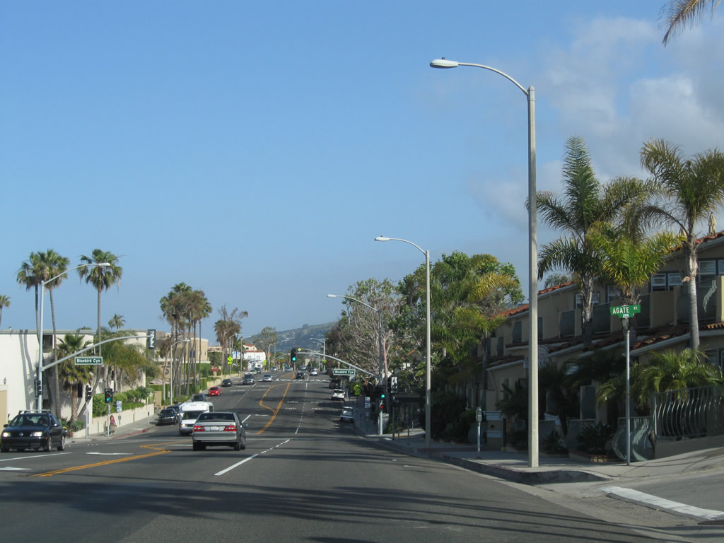
A porcelain enamel street sign for Agate Street precedes the signalized intersection with Bluebird Canyon Drive.
05/02/10
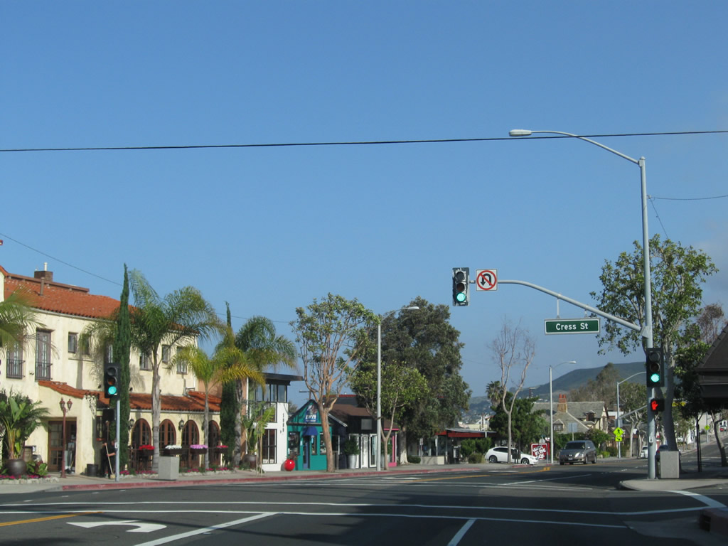
California 1 meets Cress Street at this intersection.
05/02/10
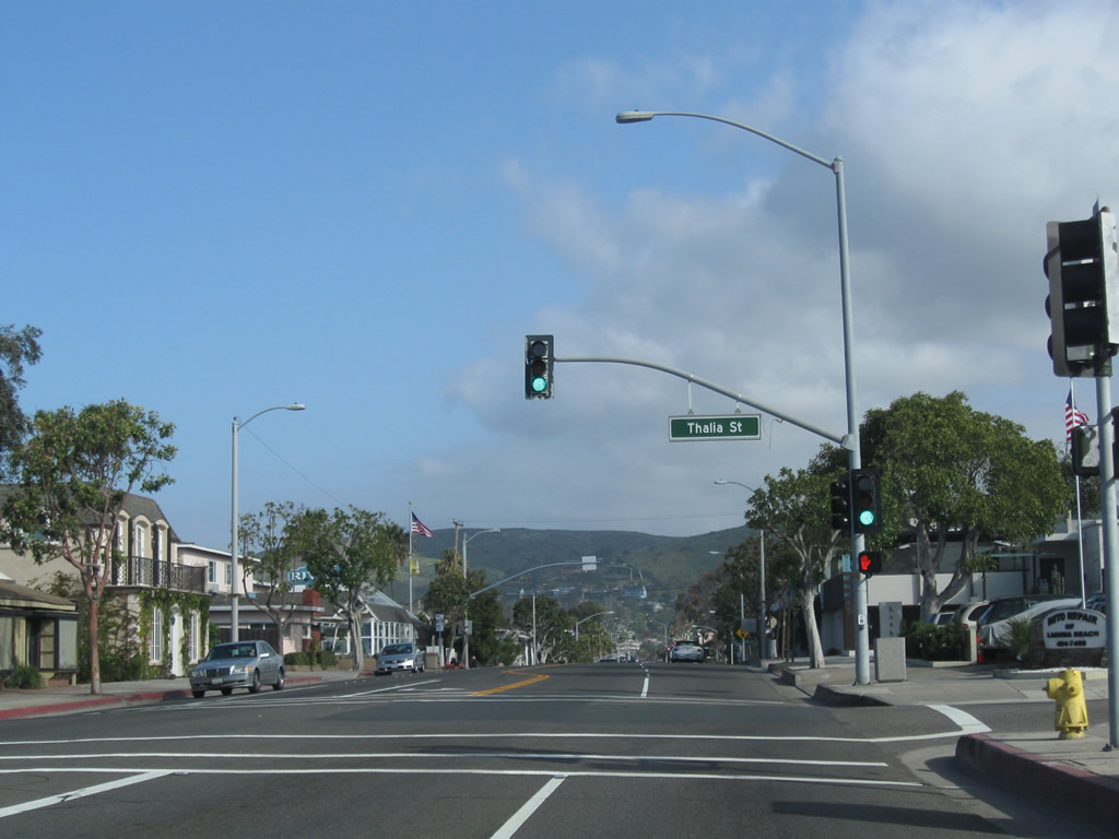
Northbound California 1 meets Thalia Street.
05/02/10
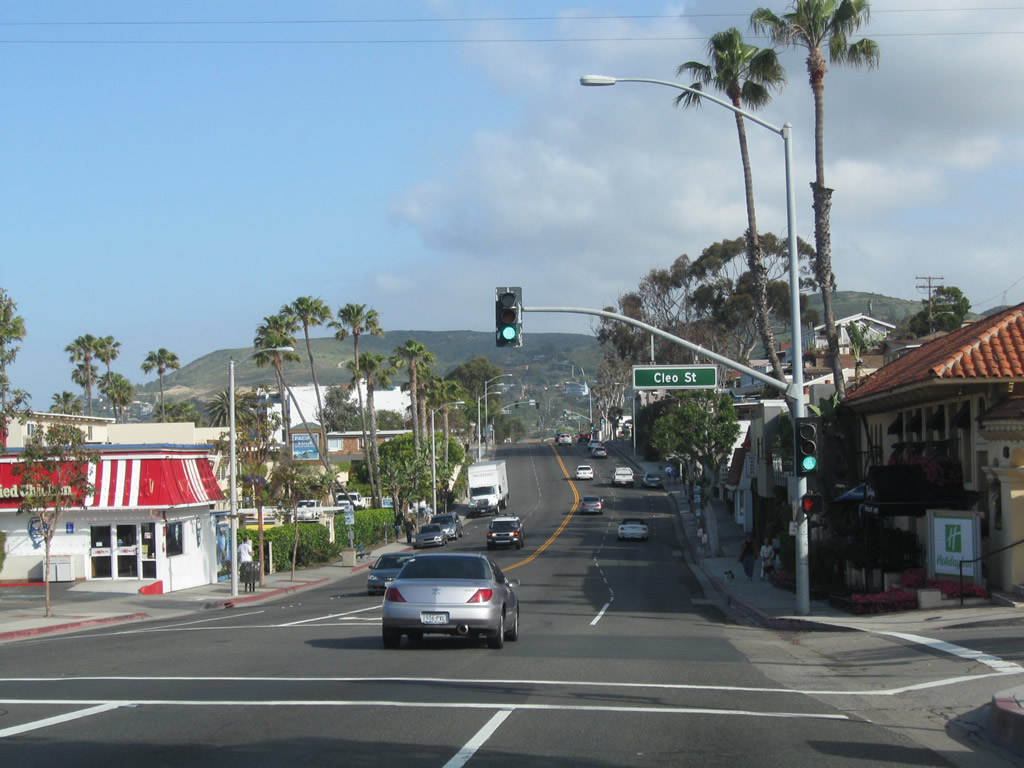
Soon thereafter, California 1 meets Cleo Street.
05/02/10
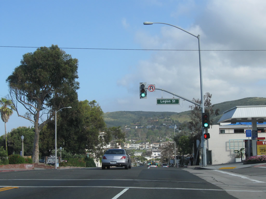
California 1 meets Legion Street at this intersection.
05/02/10
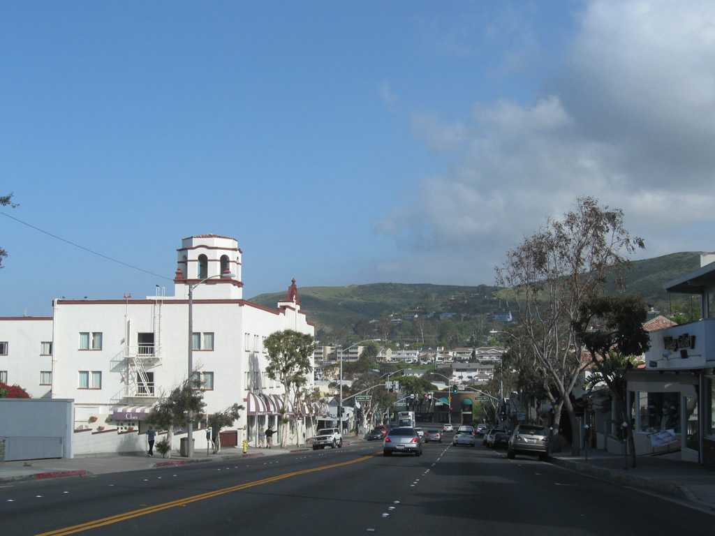
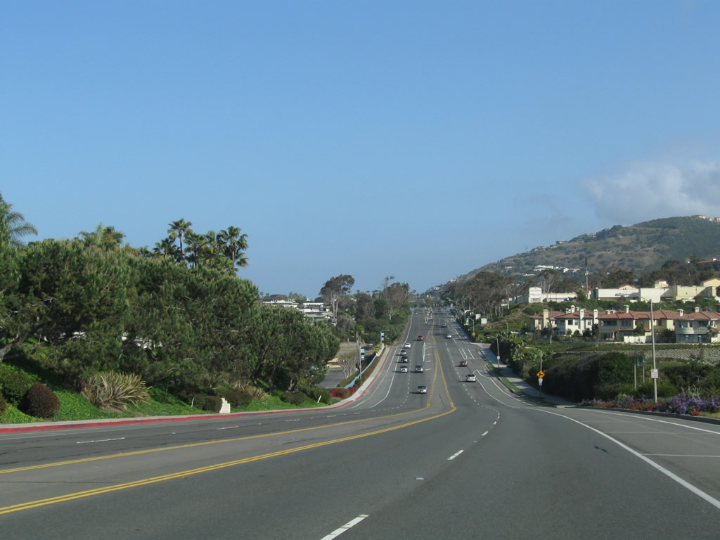
Morning fog continued to burn off as California 1 proceeds northwest into downtown Laguna Beach. The picturesque Hotel Laguna comes into view on the west side of the Coast Highway.
05/02/10
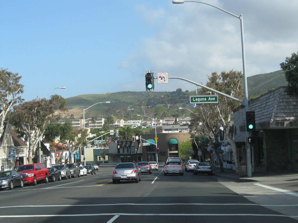
Northbound California 1 (Coast Highway) meets Laguna Avenue at this traffic signal. Use Park Avenue east to Park Avenue east.
05/02/10
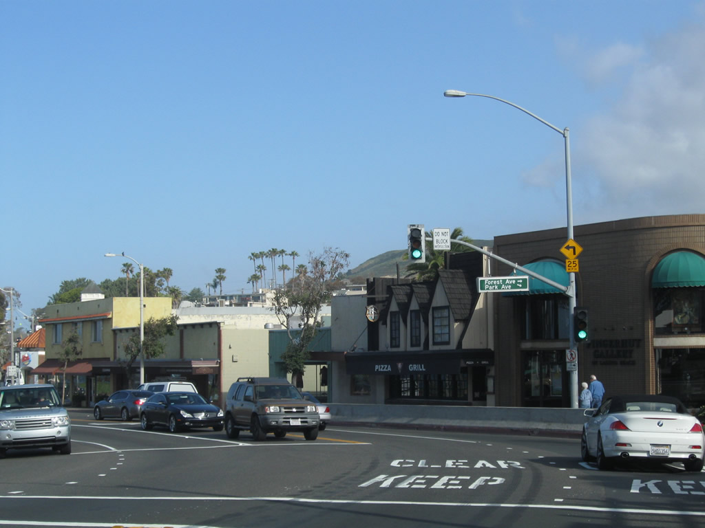
At this traffic signal, California 1 meets Forest Avenue and Park Avenue.
05/02/10
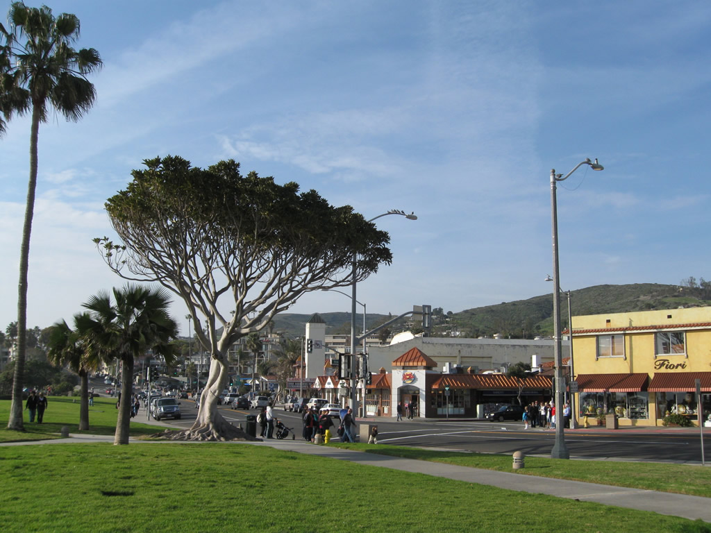
This view looks north from the main beach in Laguna Beach at the intersection joining California 1 (Coast Highway) and Ocean Avenue.
01/31/10
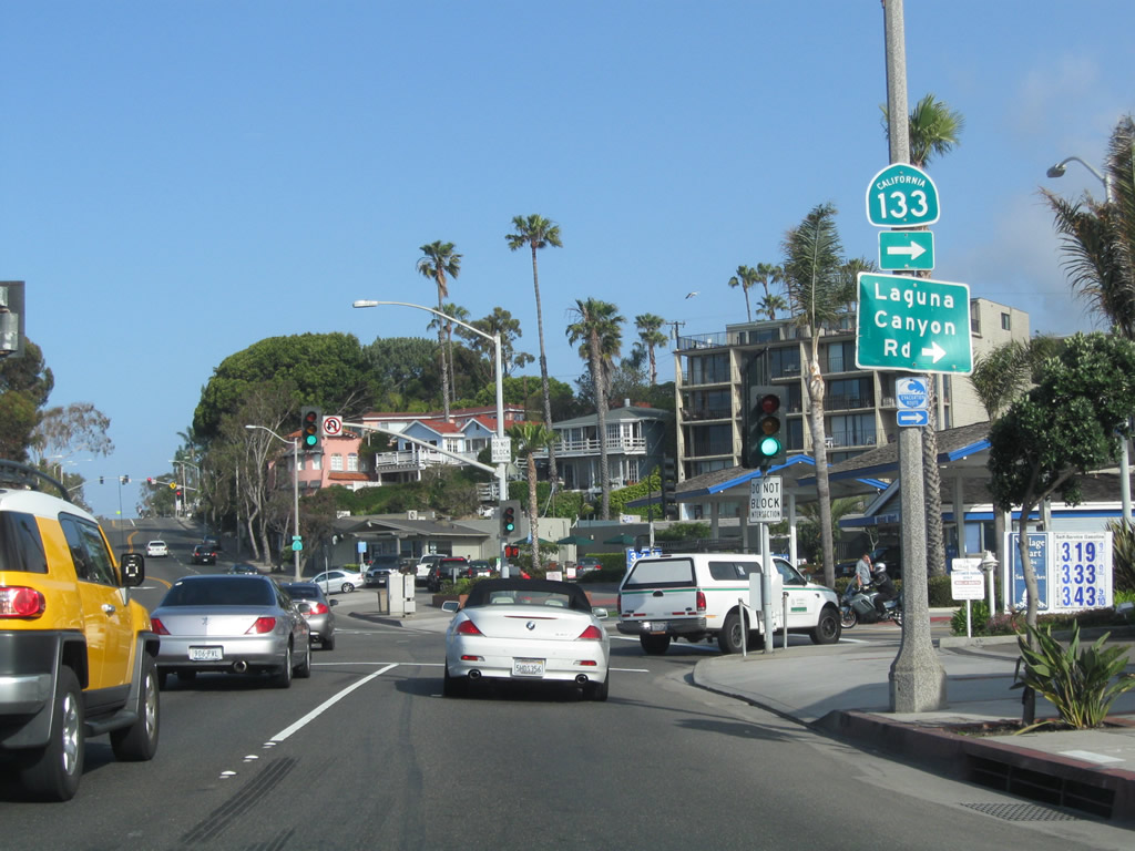
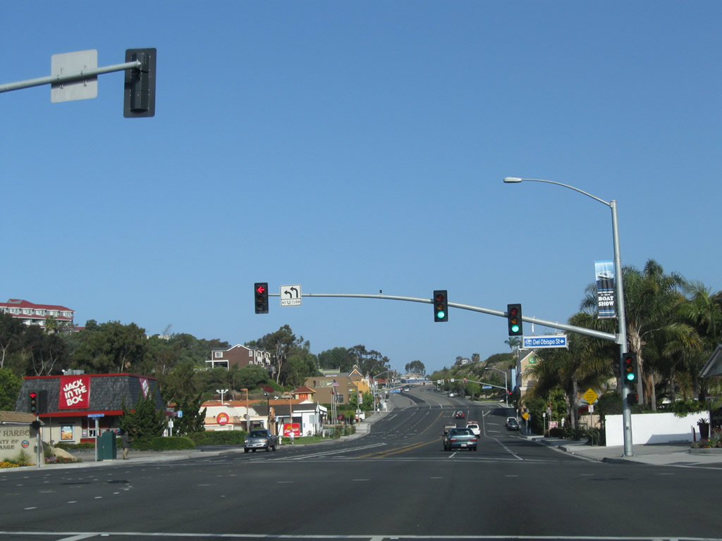
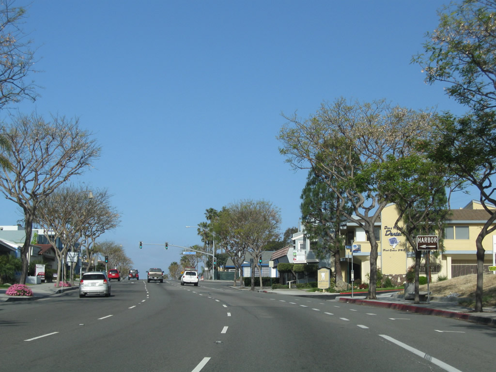
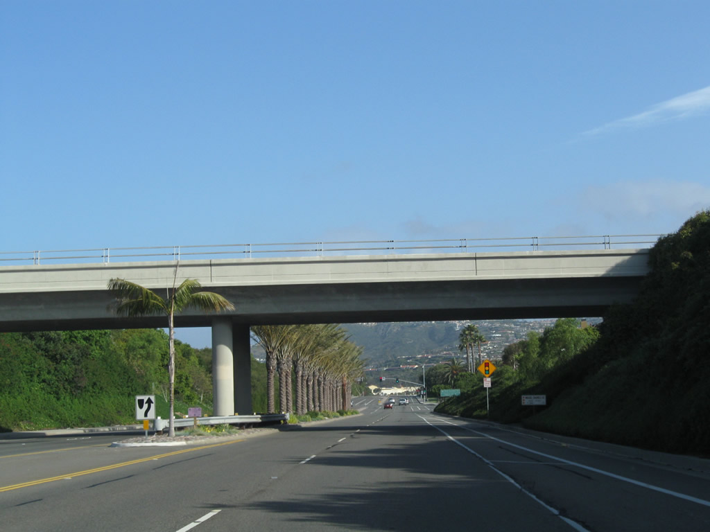
Northbound SR 1 (Coast Highway) at the south end of SR 133 (Broadway / Laguna Canyon Road). SR 133 passes through Laguna Canyon north to connect with SR 73 (San Joaquin Hills Transportation Corridor) and I-5 and I-405 near the El Toro Y interchange. SR 133 assumes expressway characteristics north of SR 73 and ends at SR 241 as part of the Orange County Toll Road system.
05/02/10
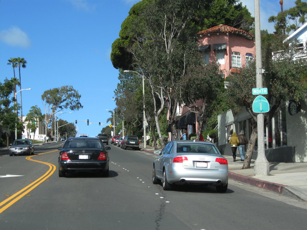
This California 1 north reassurance shield is posted after the California 133 intersection in Laguna Beach.
02/26/11
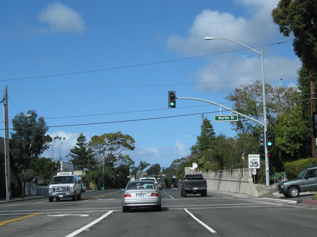
Northbound California 1 meets Myrtle Street at this traffic signal. An old retaining wall, dating to the 1930s, is located on the northeast side of the Coast Highway.
02/26/11
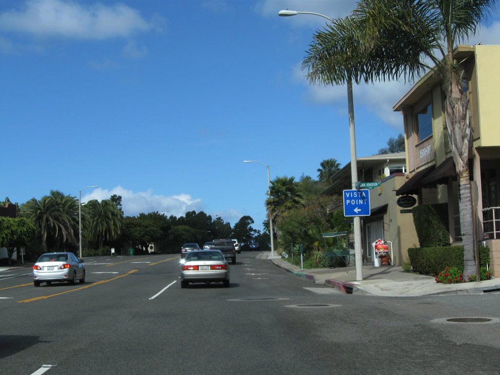
Turn left at San Joaquin Street to a Vista Point.
02/26/11
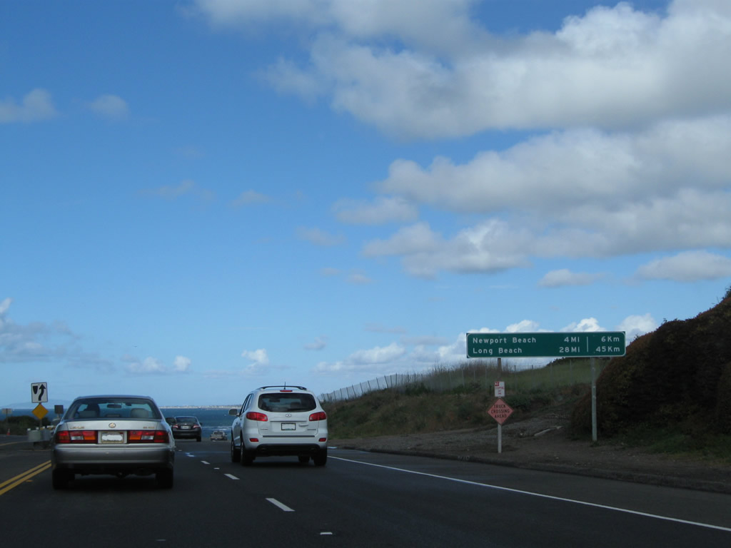
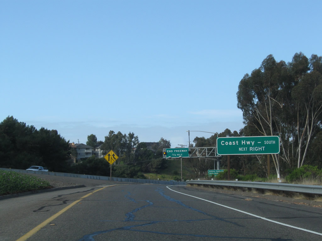
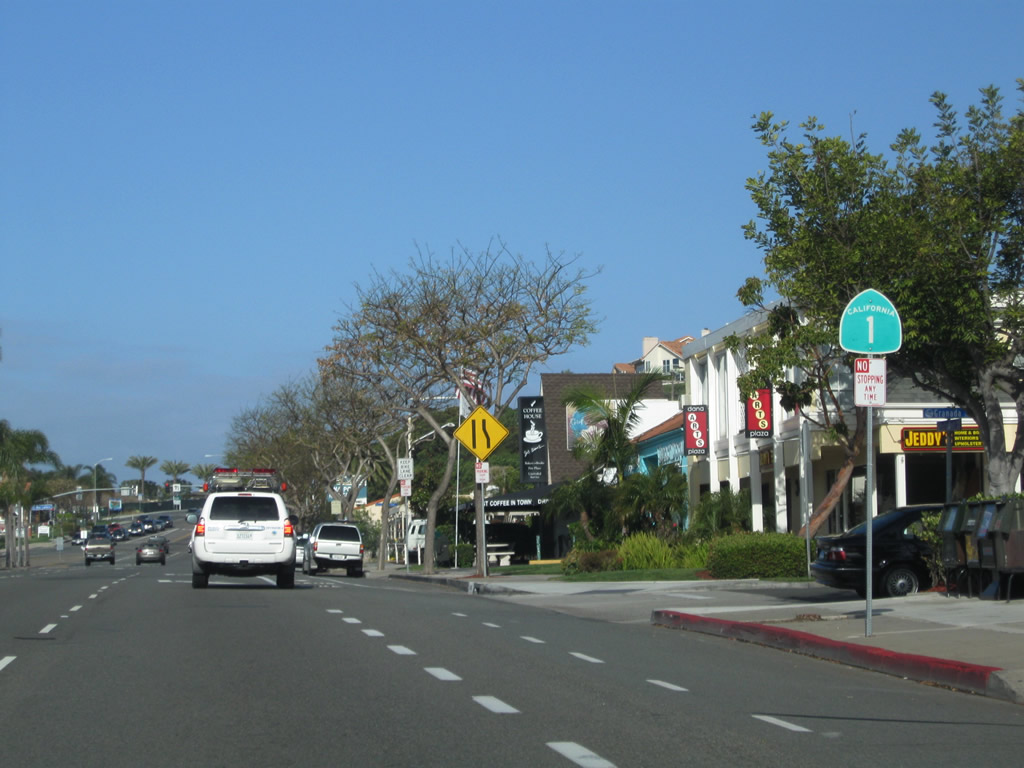
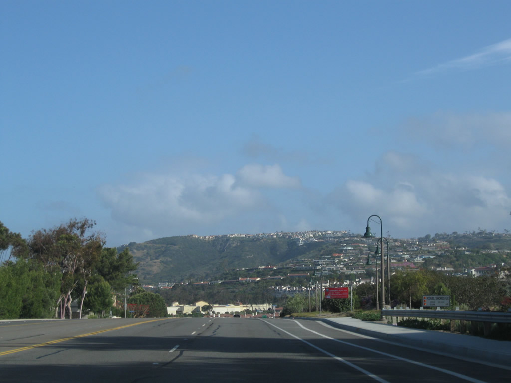
California 1 leaves Laguna Beach near Emerald Bay and enters Crystal Cove State Park. A mileage sign provides the distance to Newport Beach (four miles) and Long Beach (28 miles).
02/26/11
Photo Credits:
- Andy Field: 01/31/10, 05/02/10, 02/26/11
Connect with:
Page Updated Tuesday March 01, 2011.