
State Route 1 North - Pacific Palisades to Malibu
A tunnel below California 1 (Pacific Coast Highway) allows pedestrian access to the beach while avoiding having to cross the busy state highway at a signalized crosswalk.
11/22/07
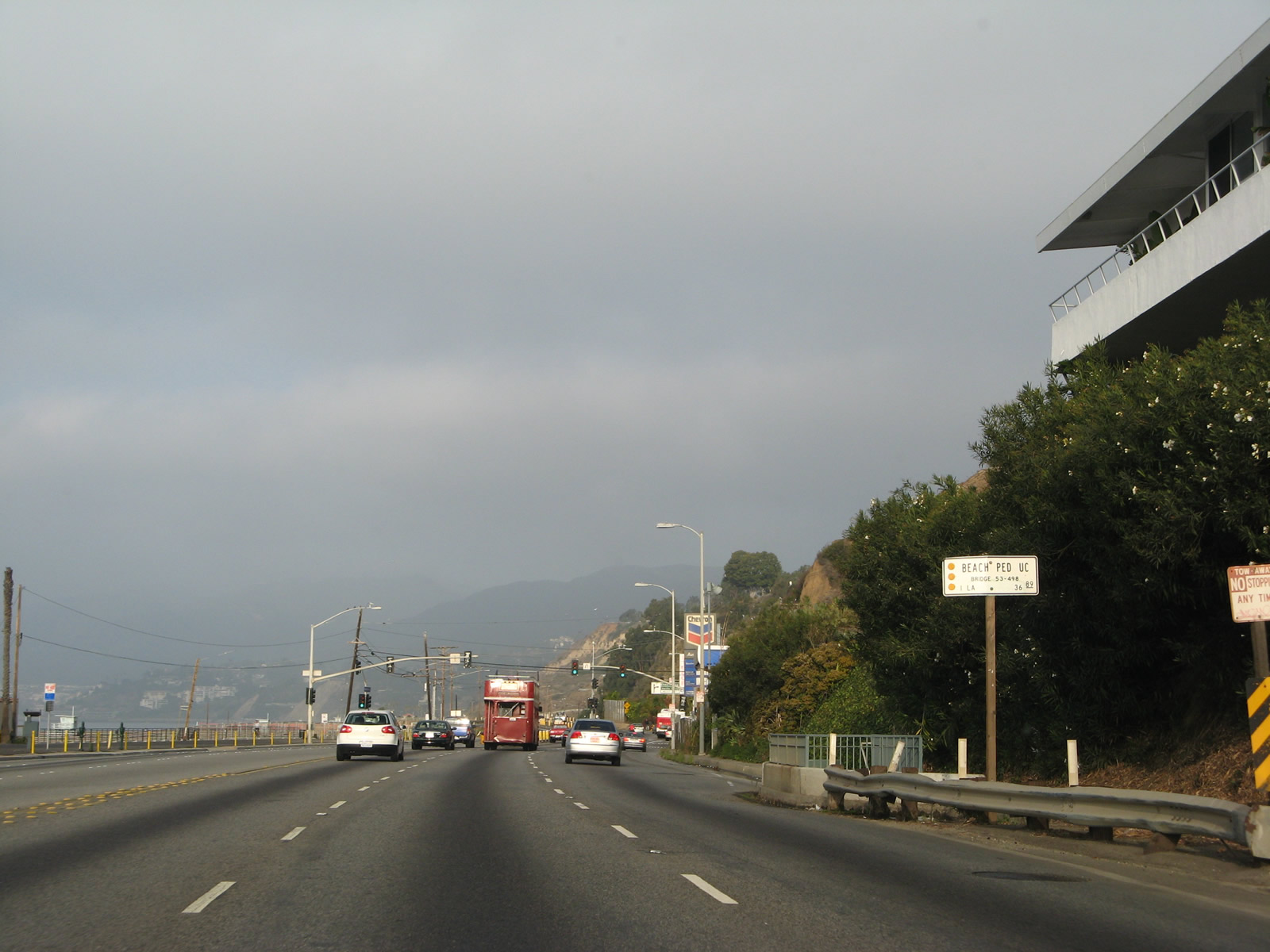
Northbound California 1 (Pacific Coast Highway) meets Entrada Drive ahead of Rustic creek and the turnoff for West Channel Road.
11/22/07
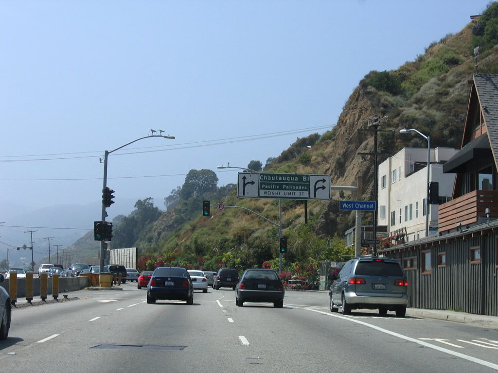
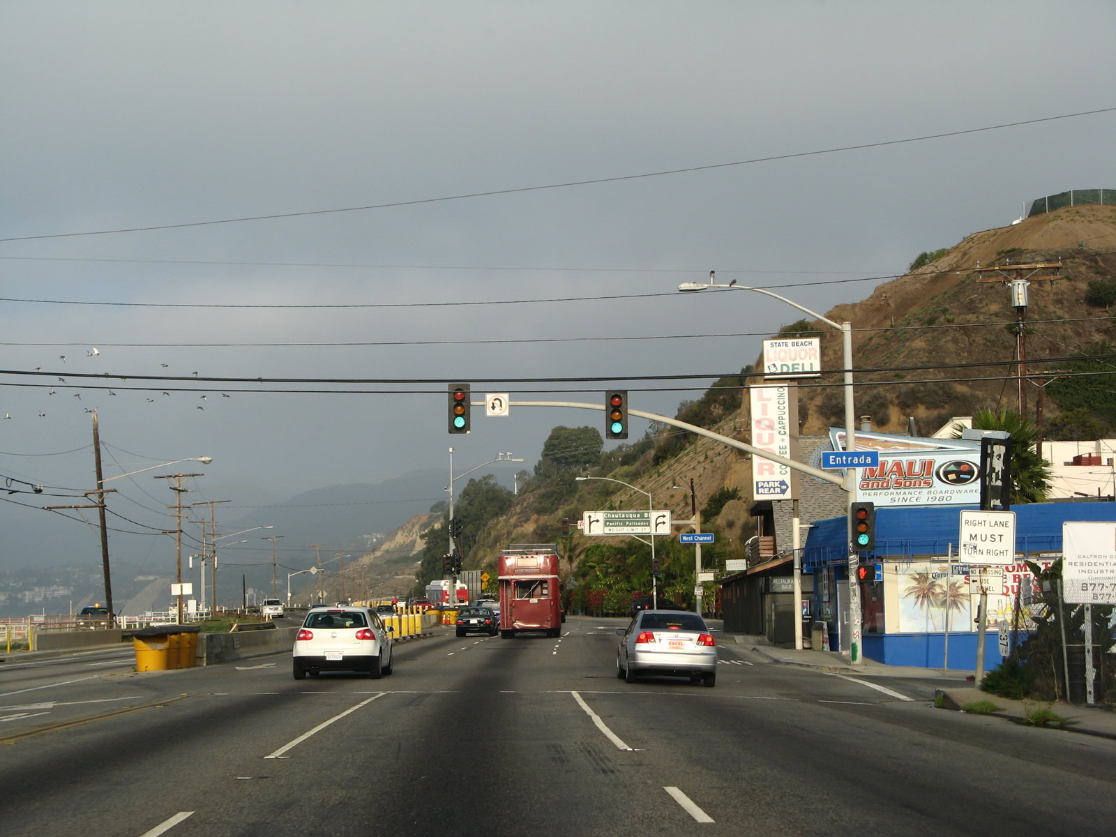
Chautauqua Boulevard follows W Channel Road from SR 1 north as a direct route to Sunset Boulevard east to notable places such as Riviera Country Club, Brentwood, and the University of California at Los Angeles (UCLA). Sunset Boulevard is a major arterial, ultimately linking Pacific Palisades with Downtown Los Angeles via UCLA and Hollywood. A portion of the road through Hollywood and Downtown at one time carried fabled designations such as U.S. 66 and U.S. 101.
07/03/05
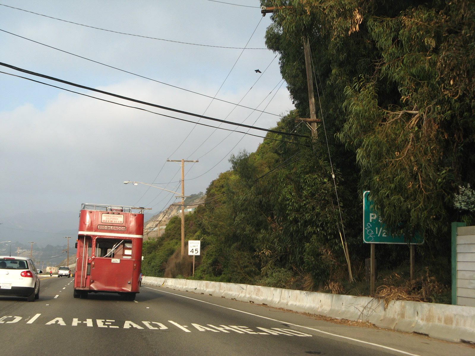
This partially obscured sign reads, "Beach Parking, one-half mile."
11/22/07
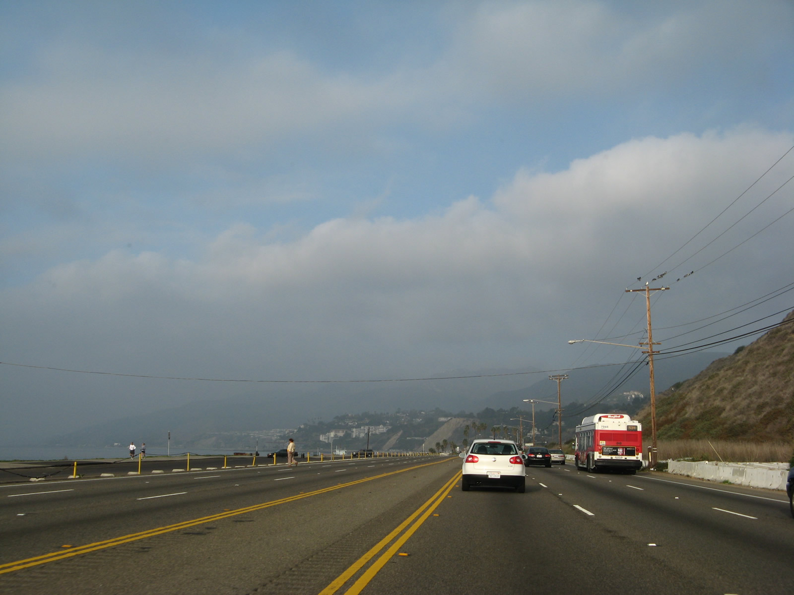
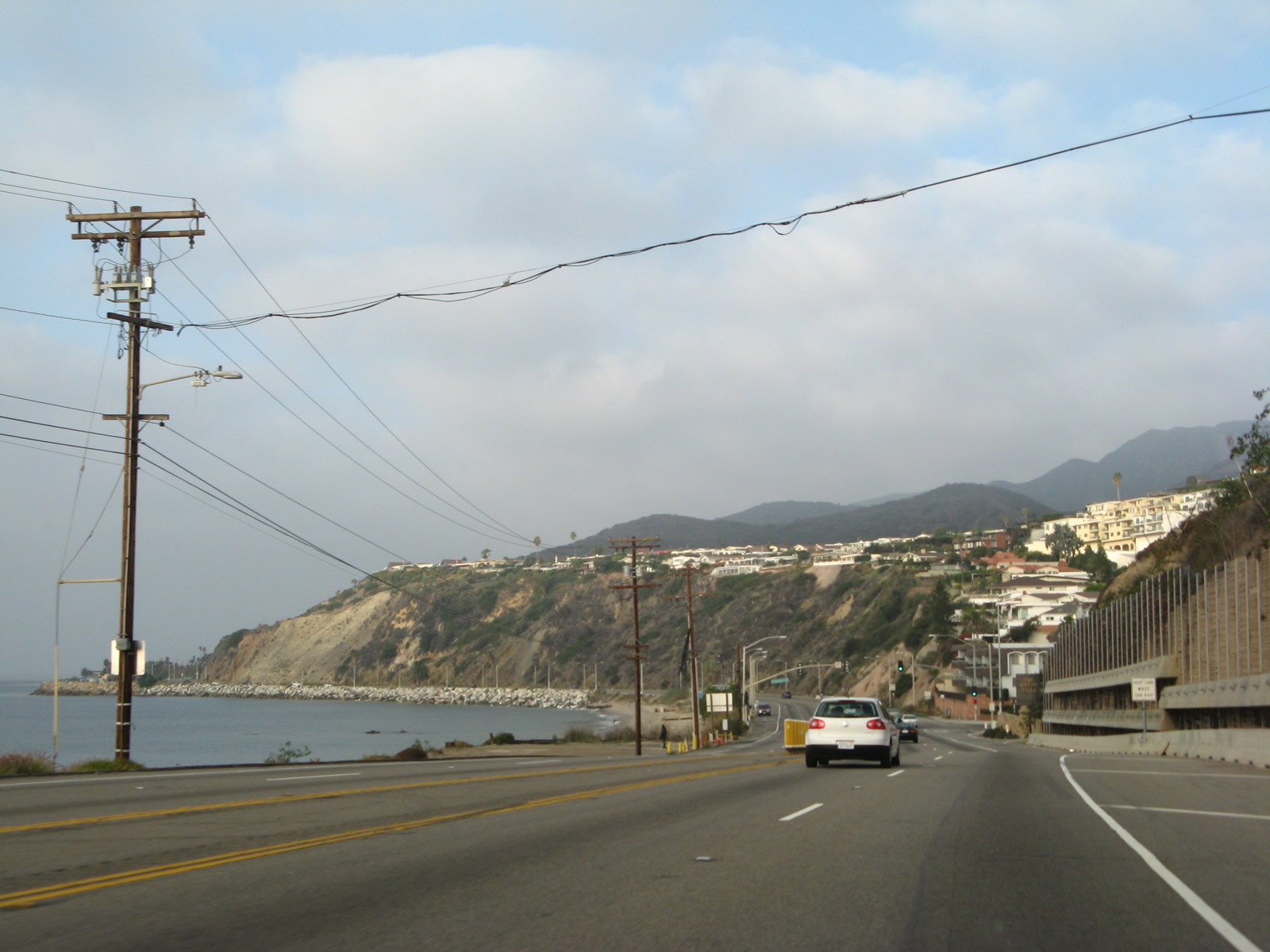
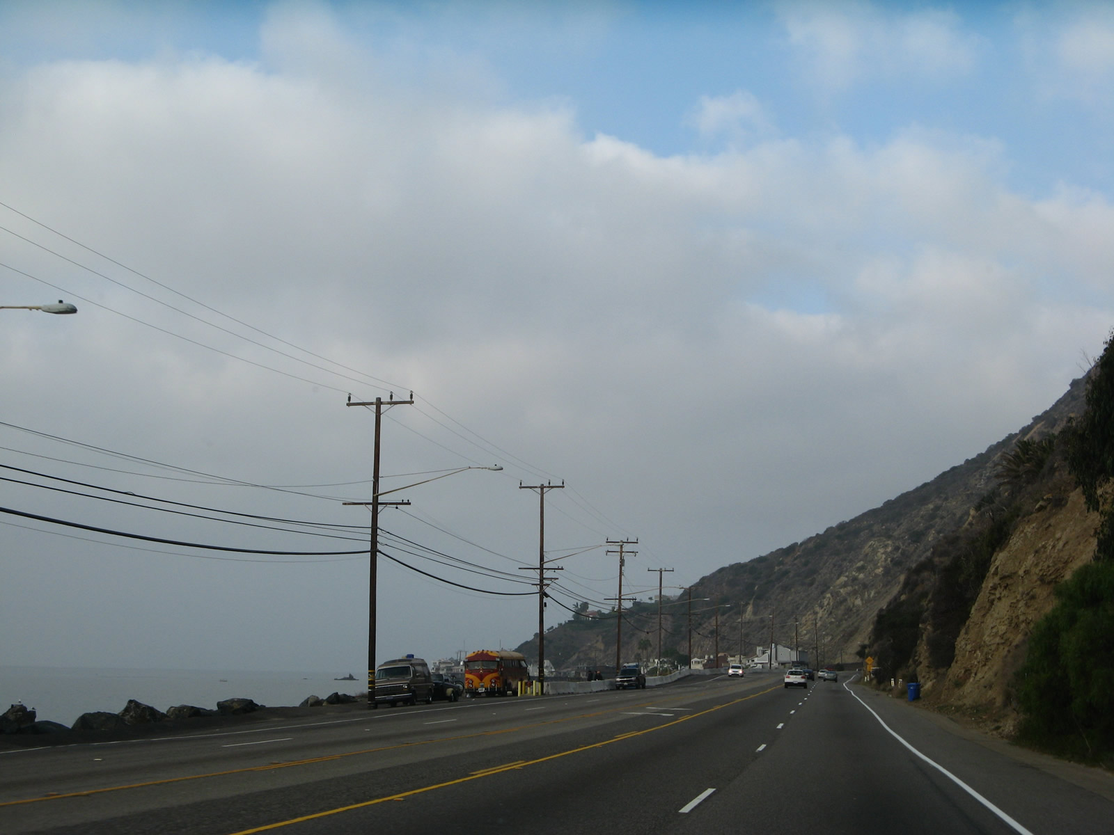
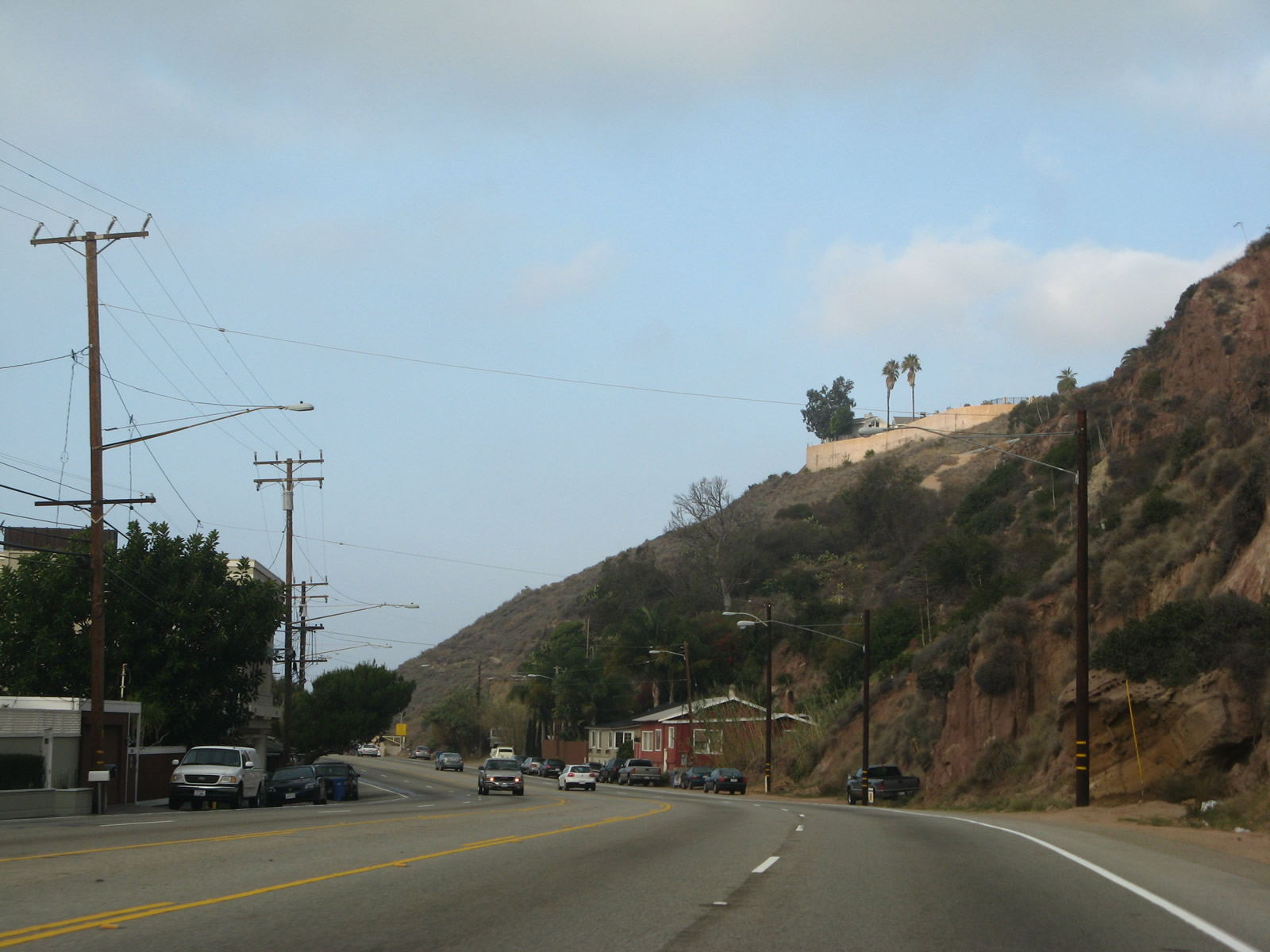
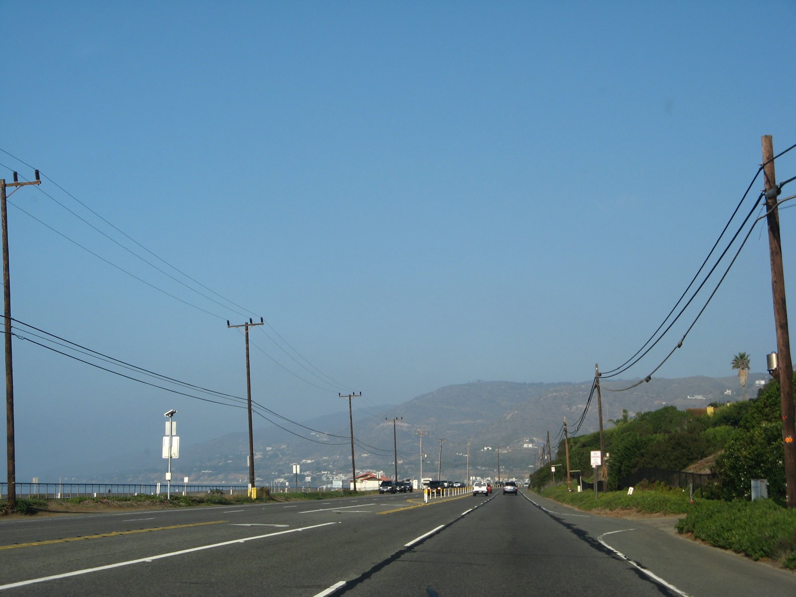
The Santa Monica Mountains rise prominently along the northern horizon along California 1 (Pacific Coast Highway).
11/22/07

Northbound California 1 (Pacific Coast Highway) meets Temescal Canyon Road near Will Rogers State Park in Pacific Palisades. Near here is the original site of the Port of Los Angeles before it was moved to its current location near San Pedro and Long Beach.
11/22/07
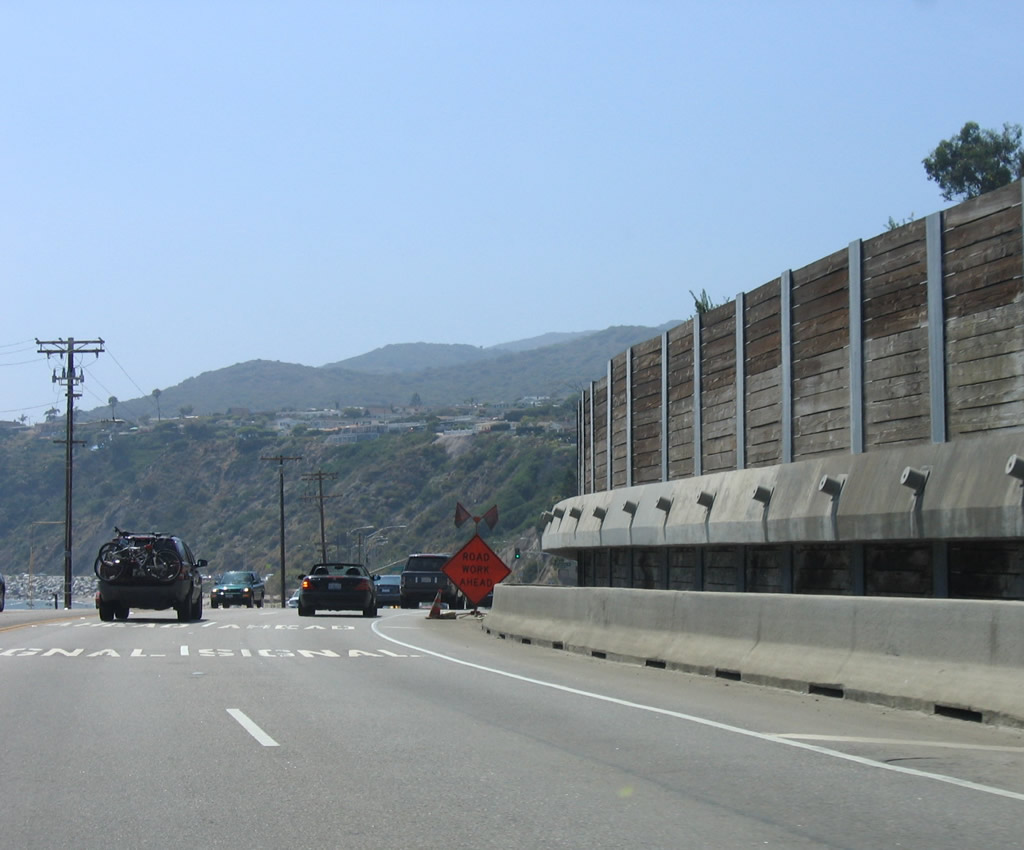
While pedestrian bridges are the preferred way to cross this busy highway, occasional walkways cross the highway as well.
07/03/05
Northbound California 1 (Pacific Coast Highway) reaches the traffic signal for Bay Club Drive, which leads into the Bel-Air Bay Club.
11/22/07
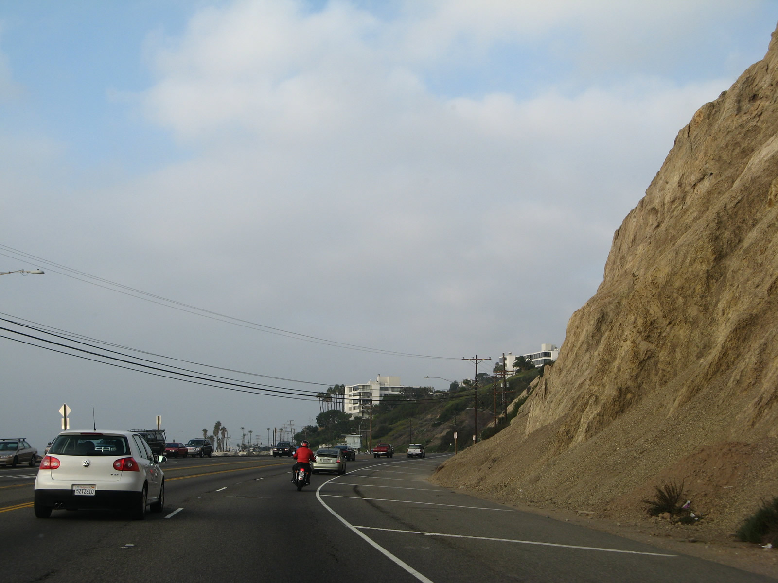
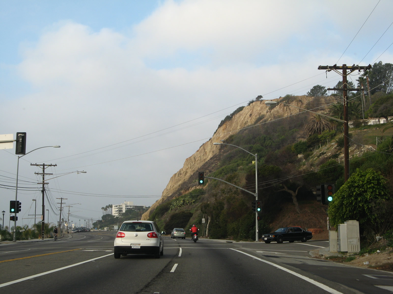
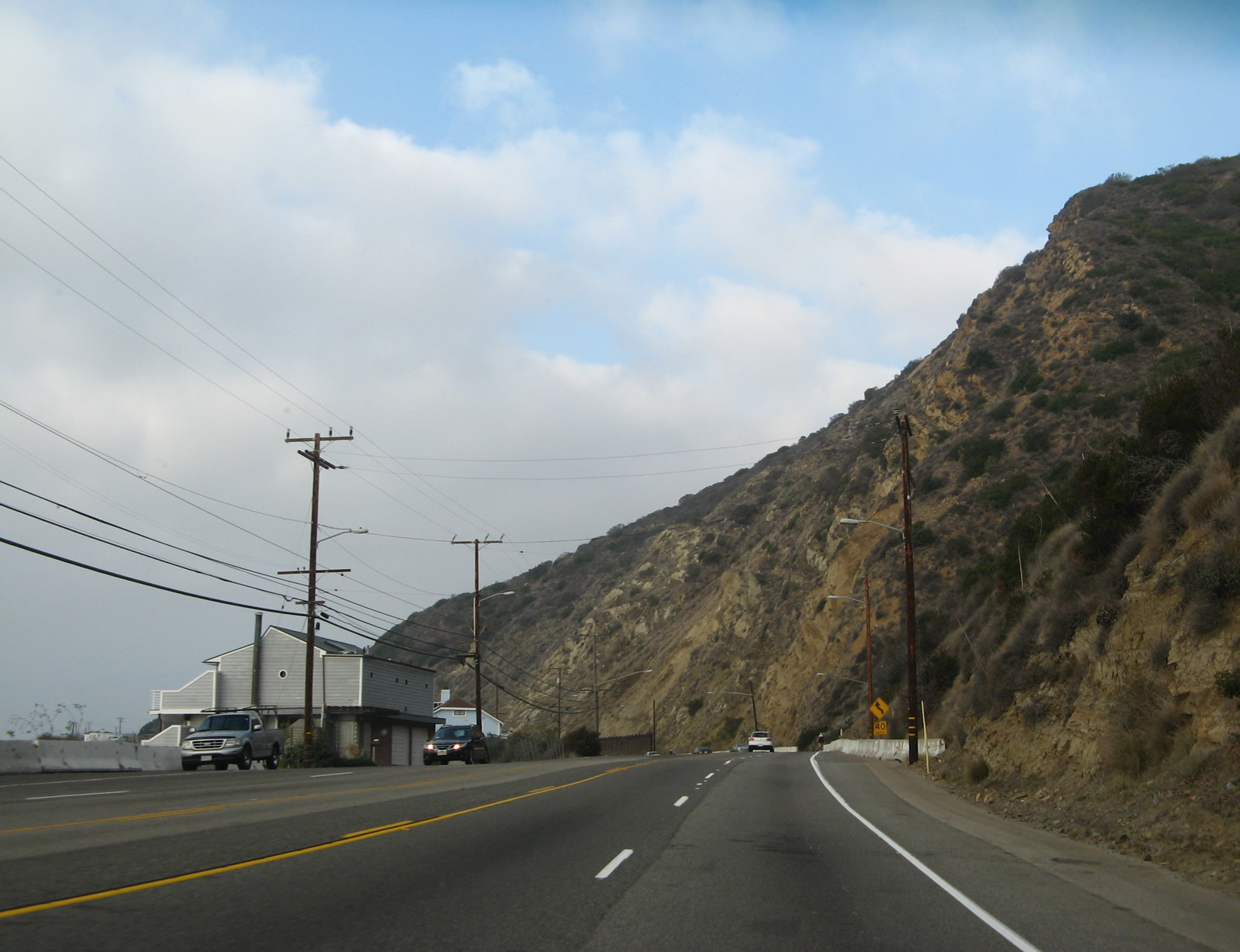
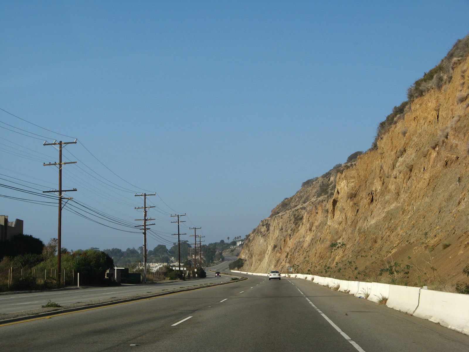
With crumbling sandstone cliffs adjacent to the Pacific Coast Highway, it becomes evident why certain areas have retaining walls.
11/22/07
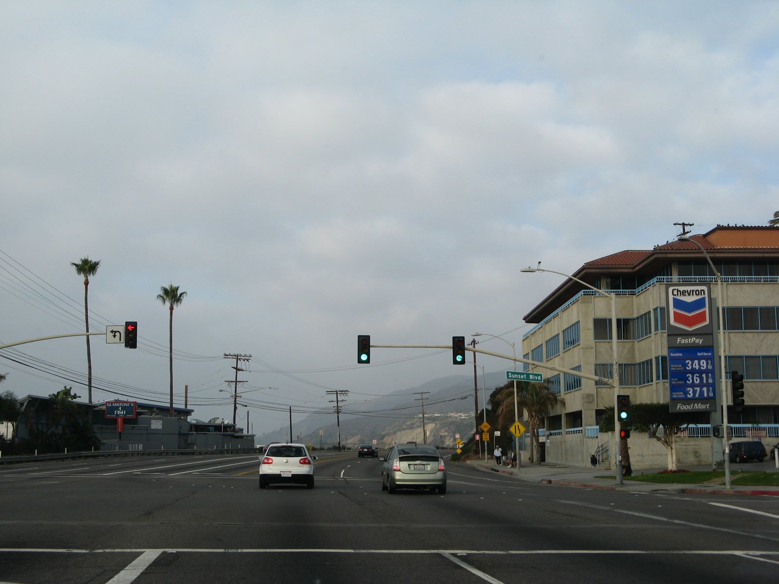
Northbound California 1 (Pacific Coast Highway) meets Sunset Boulevard at this traffic signal. A very long, winding arterial route, Sunset Boulevard generally travels east toward Hollywood and Downtown Los Angeles.
11/22/07
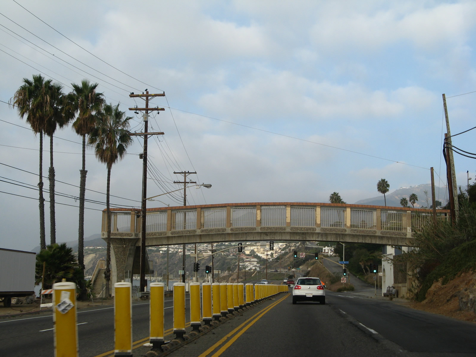
Another pedestrian bridge crosses over the busy Pacific Coast Highway. A signalized intersection with Porto Marina Way follows.
11/22/07
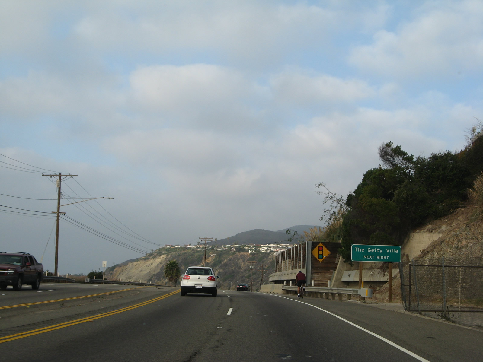
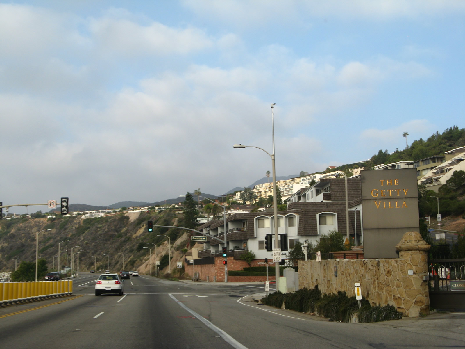
The next right serves the Getty Villa. Linked with the companion Getty Center in Brentwood off Interstate 405, the Getty Villa is an educational center focused on the history of Greece and Rome.
11/22/07
The Pacific Ocean again comes into view along northbound California 1 (Pacific Coast Highway).
11/22/07
Bluff erosion is a common problem adjacent to the Pacific Coast Highway, and measures have been taken to prevent hillsides from sliding onto the state route.
07/03/05
Coastline Drive ties into SR 1 adjacnet to Getty Villa Drive to the Getty Villa at Parker Canyon.
11/22/07
California 1 runs south of Parker Mesa as a five lane boulevard.
11/22/07
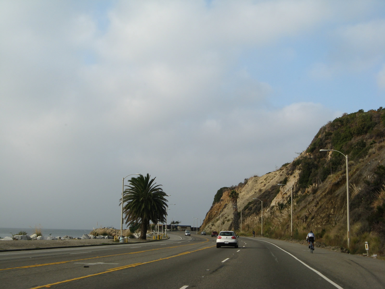
Continuing west toward Malibu, SR 1 circumvents this bluff at Topanga Beach.
11/22/07
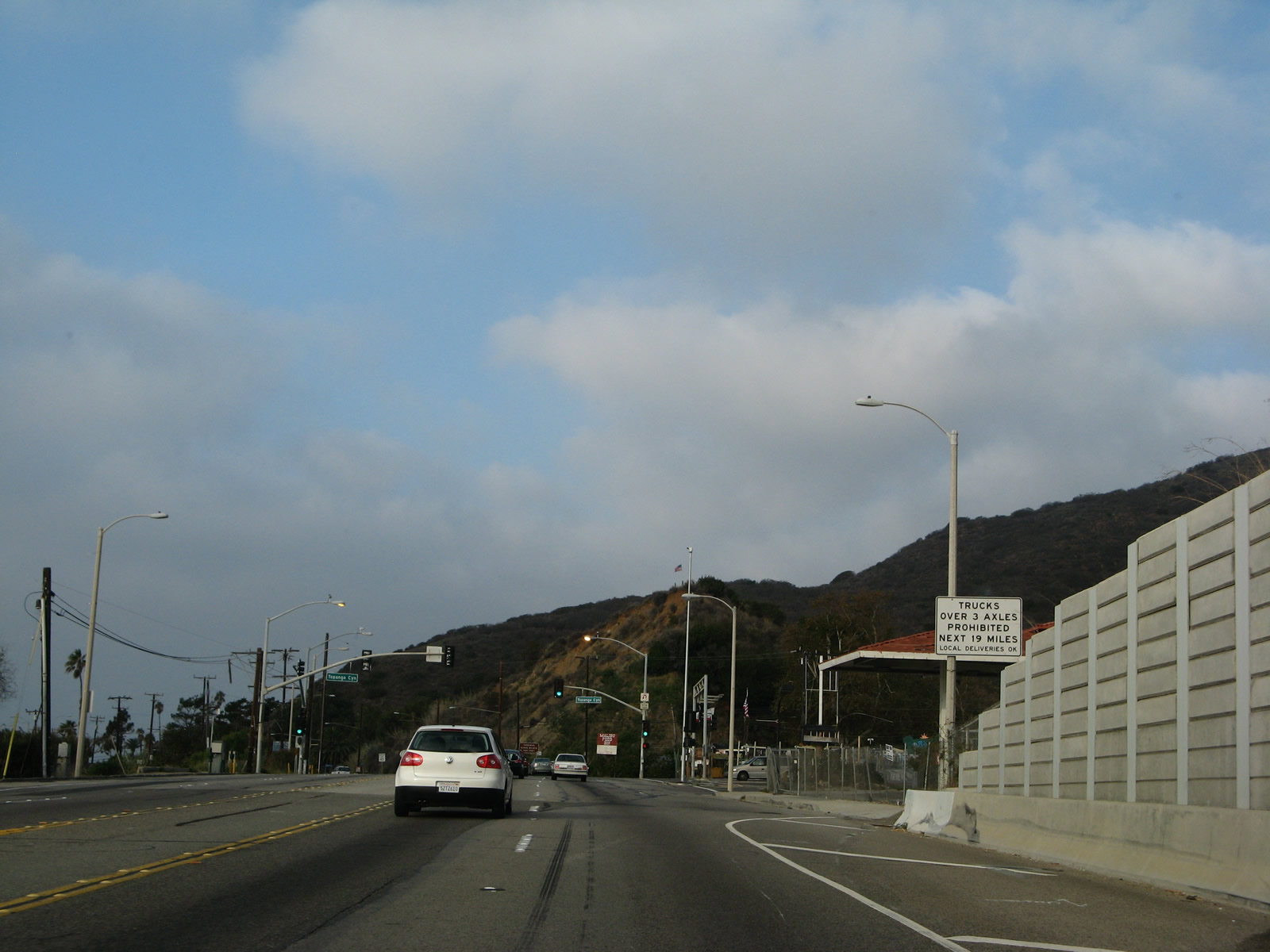
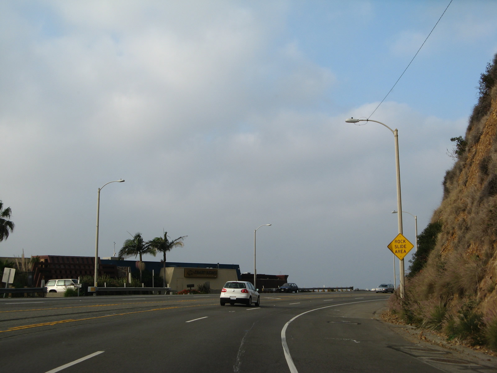
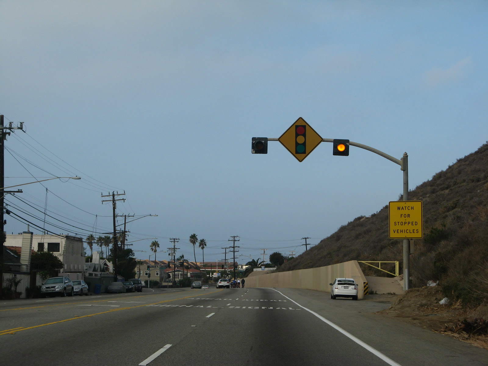
The next signalized intersection along California 1 north is with California 27 (Topanga Canyon Boulevard) north. Trucks are restricted on California 27, which the state route is oddly is not mentioned on any advance guide signs.
11/22/07
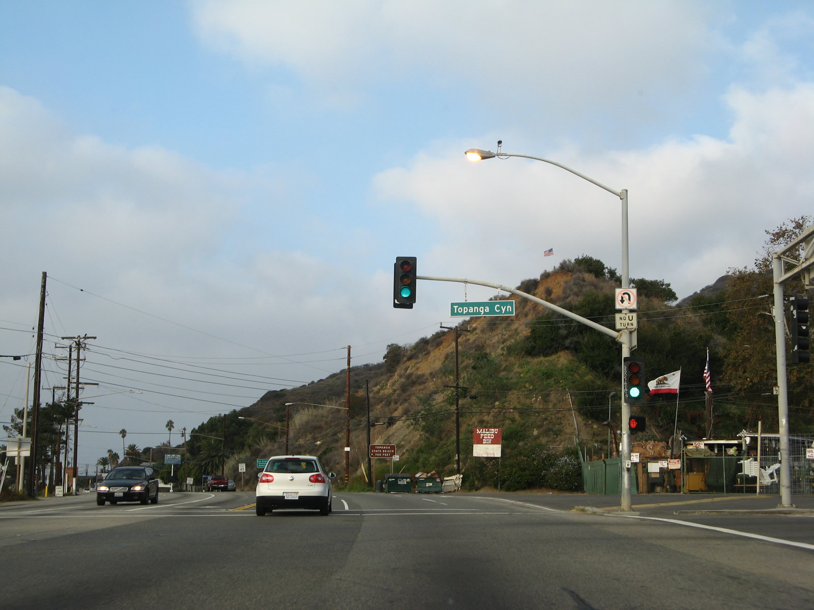
SR 27 (Topanga Canyon Boulevard) climbs northward into the Santa Monica Mountains through Topanga Canyon to Woodland Hills in Los Angeles and San Fernando Valley.
11/22/07
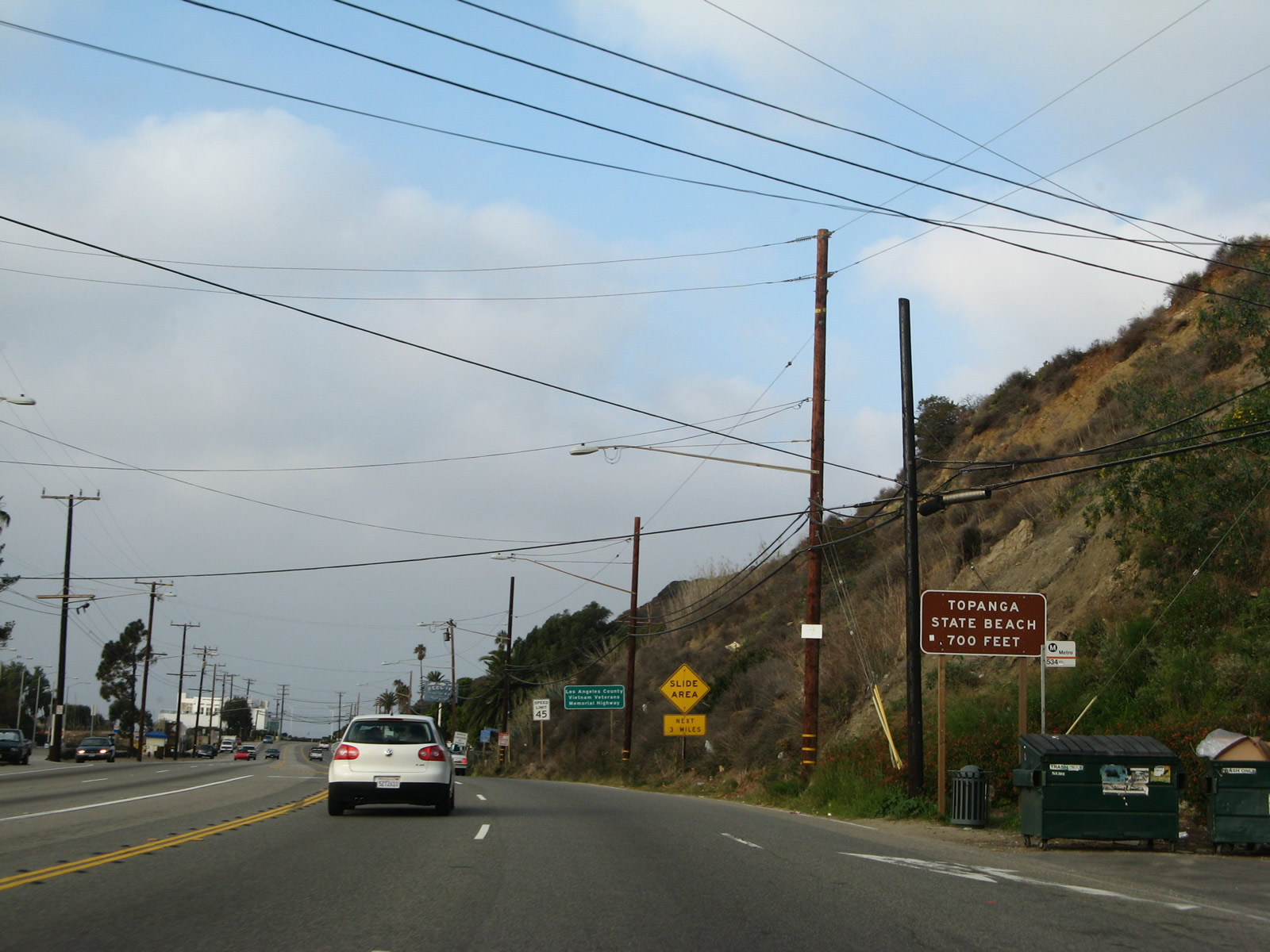
Topanga County Beach lines the south side of SR 1, west of SR 27 at Topanga Creek.
11/22/07
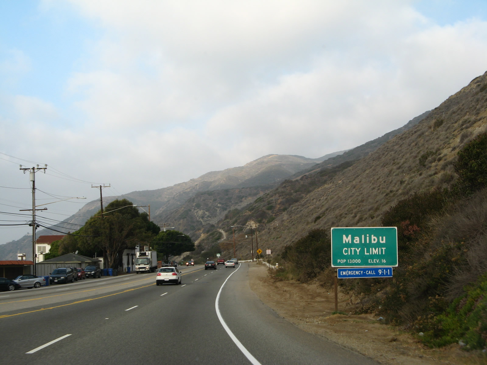
Northbound California 1 (Pacific Coast Highway) enters the city of Malibu, which had a population of 12,645 as of the 2010 Census and incorporated as a city in 1991. A 21-mile strip of oceanfront land along the Pacific Coast Highway, Malibu is well-known for being affluent and is home for some of the most famous and wealthy people in the United States. The Corral Fire swept through this area on November 24, 2007, causing damage to dozens of structures. Starting on January 7, 2025, the Palisades Fire also ravaged the area.
11/22/07
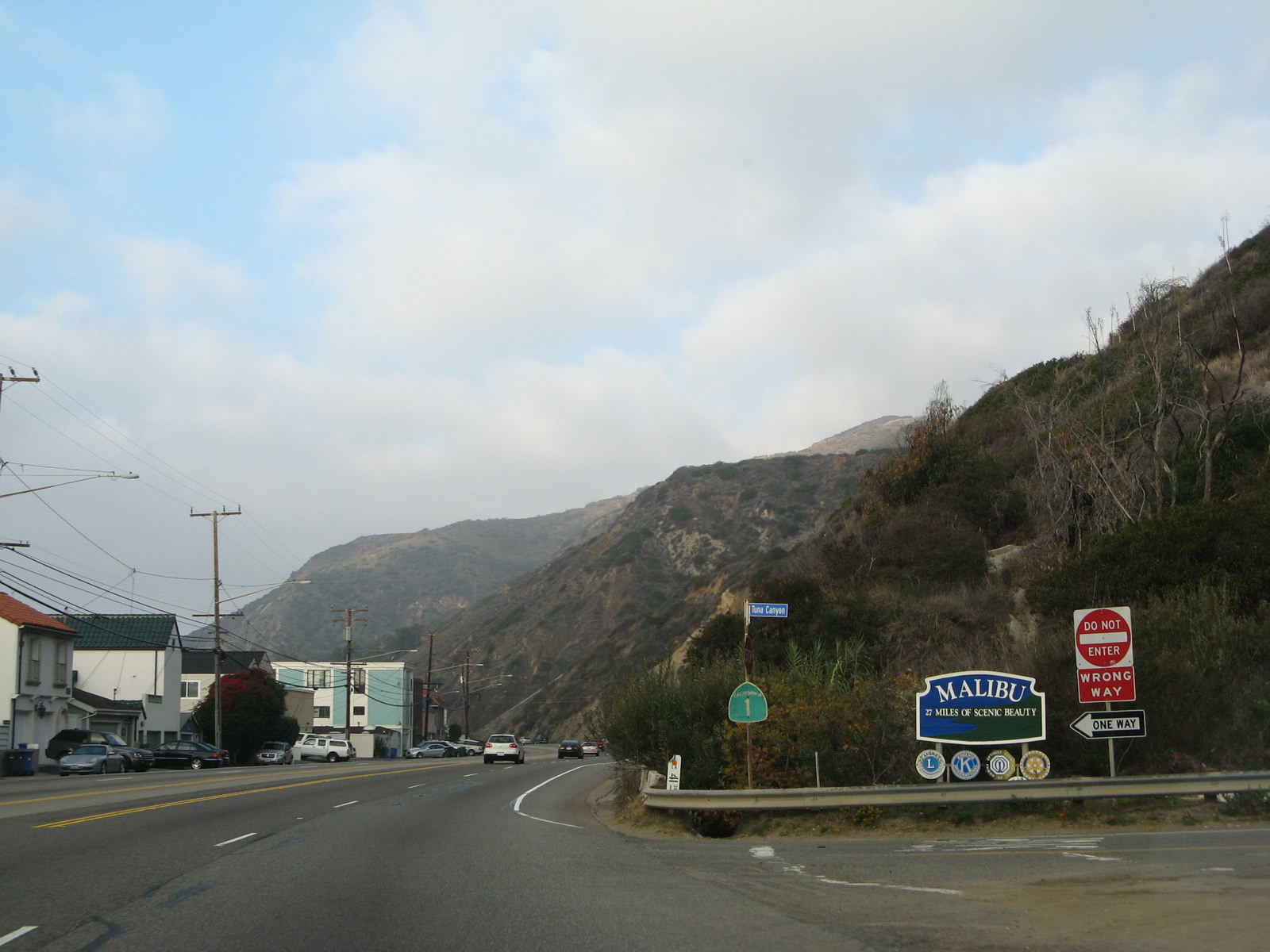
Removed by 2011, a California 1 reassurance shield was previously posted at Tuna Canyon Road, adjacent to the "Malibu: 27 Miles of Scenic Beauty" sign. While the city of Malibu extends for 21 miles, the entire length of coast known as "Malibu" extends for 27 miles.
11/22/07
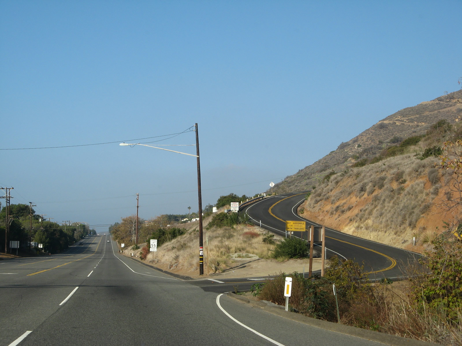
SR 1 continues west between Las Tunas Beach and Pena Canyon on the ensuing stretch west of Tuna Canyon.
11/22/07
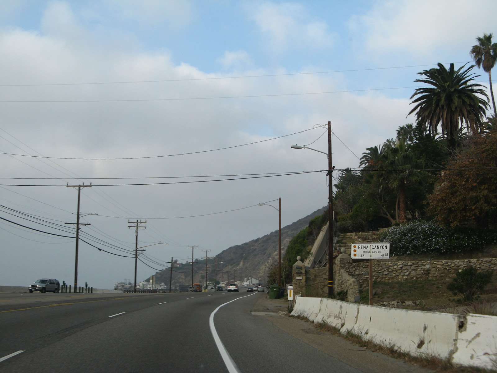
Post mile 41.81 for SR 1 in Los Angeles County stands at Pena Canyon.
11/22/07
Pacific Coast Highway shifts southward ahead of Piedra Gorda Canyon and Big Rock Beach.
11/22/07
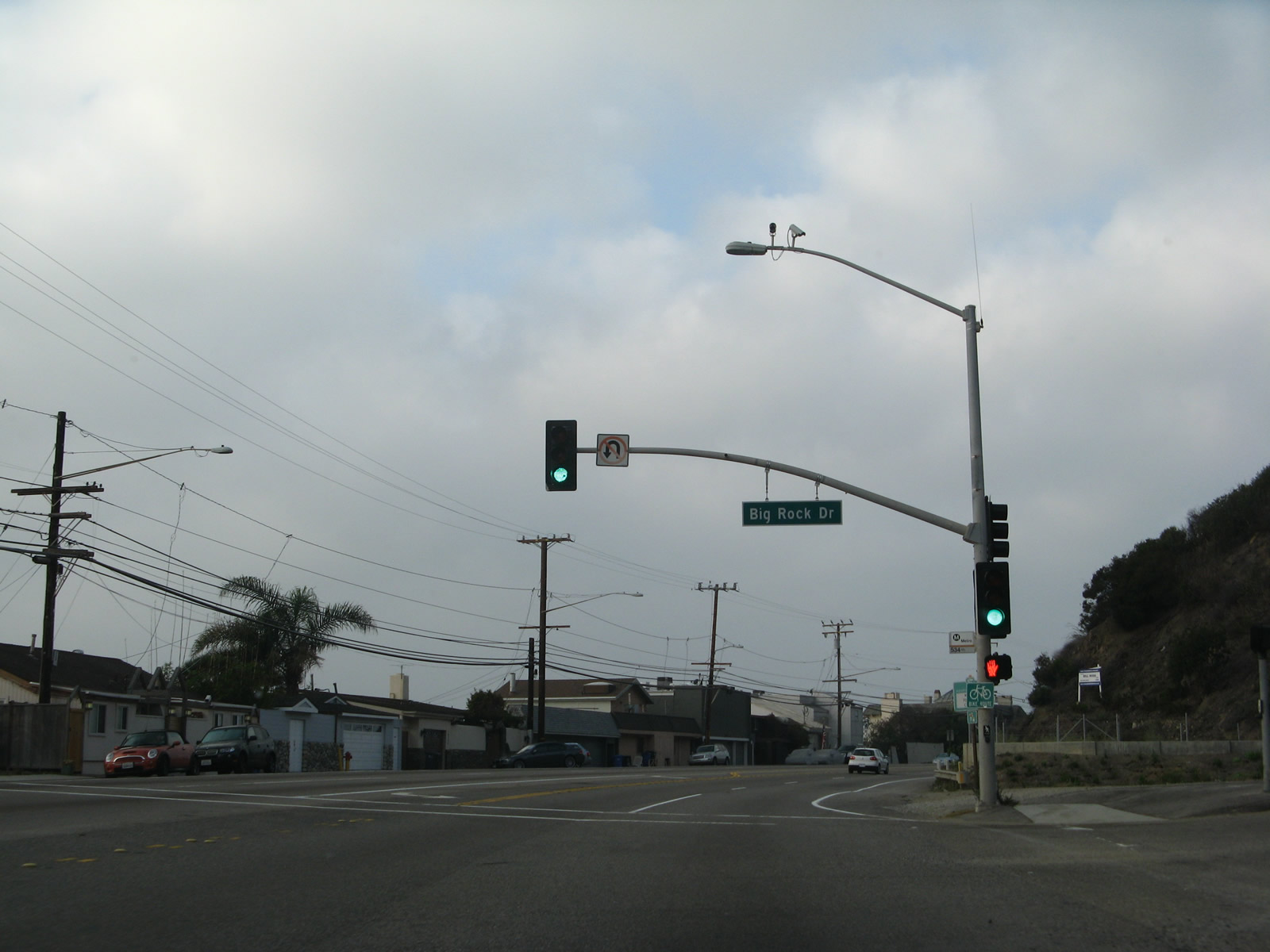
Northbound (westbound) California 1 (Pacific Coast Highway) meets Big Rock Drive at this signalized intersection.
11/22/07
All structures on the south side of Pacific Coast Highway west of Big Rock Drive were destroyed by the Palisades Fire in January 2025.
11/22/07
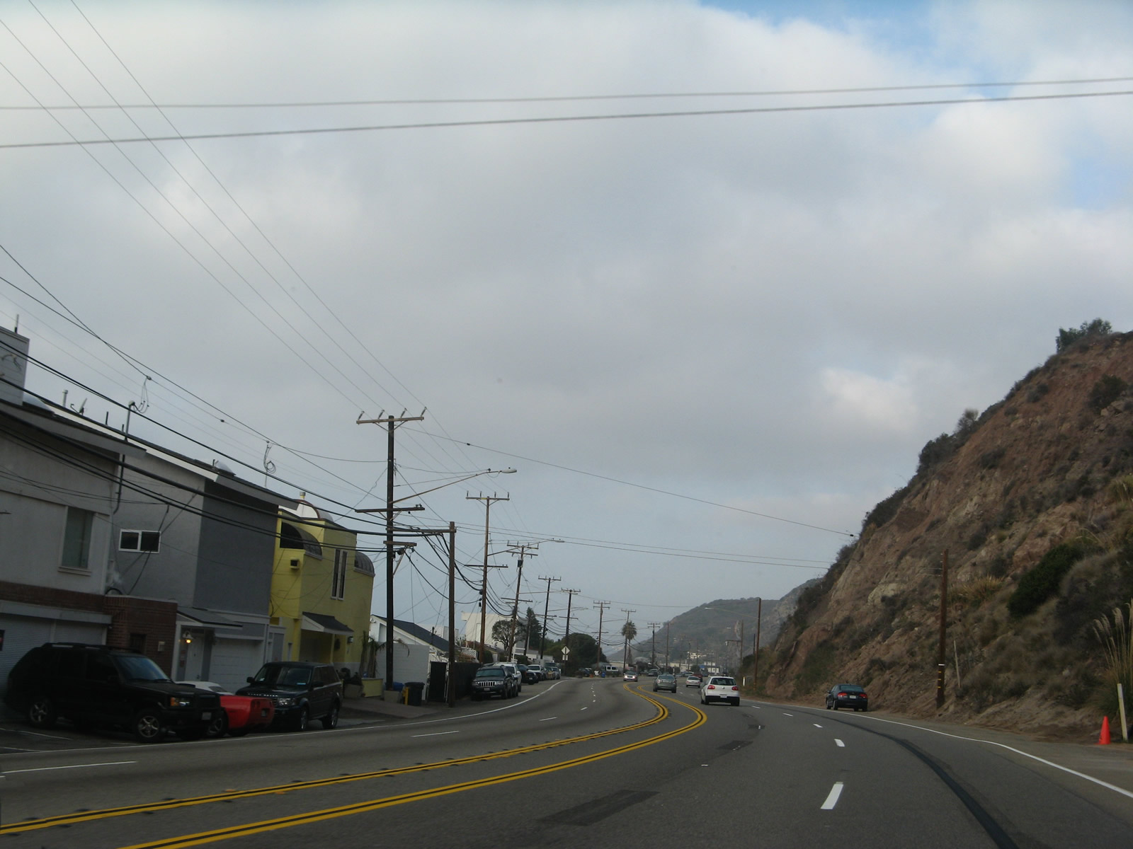
Some of the homes on the south side of SR 1 near postmile 43.20 survived the Palisades Fire. Further west, others were not so fortunate.
11/22/07
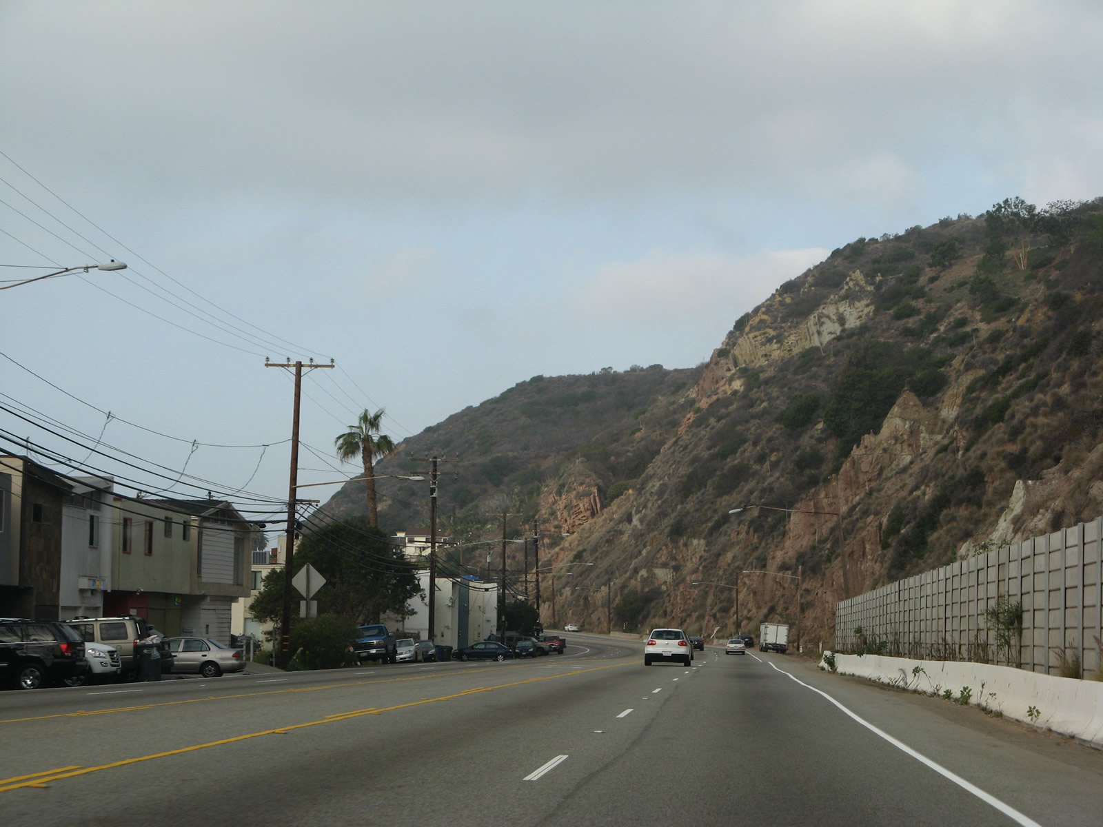
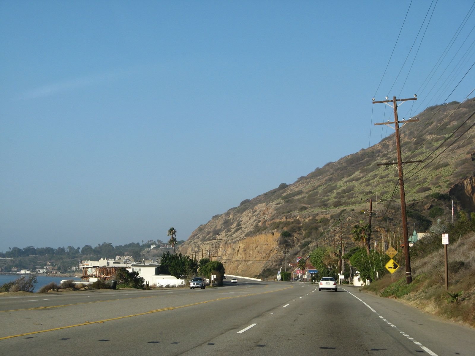
Fragile sandstone cliffs line the northern edge of California 1 (Pacific Coast Highway) westward through Malibu. The bulk of the homes in this view burned during the Palisades Fire.
11/22/07
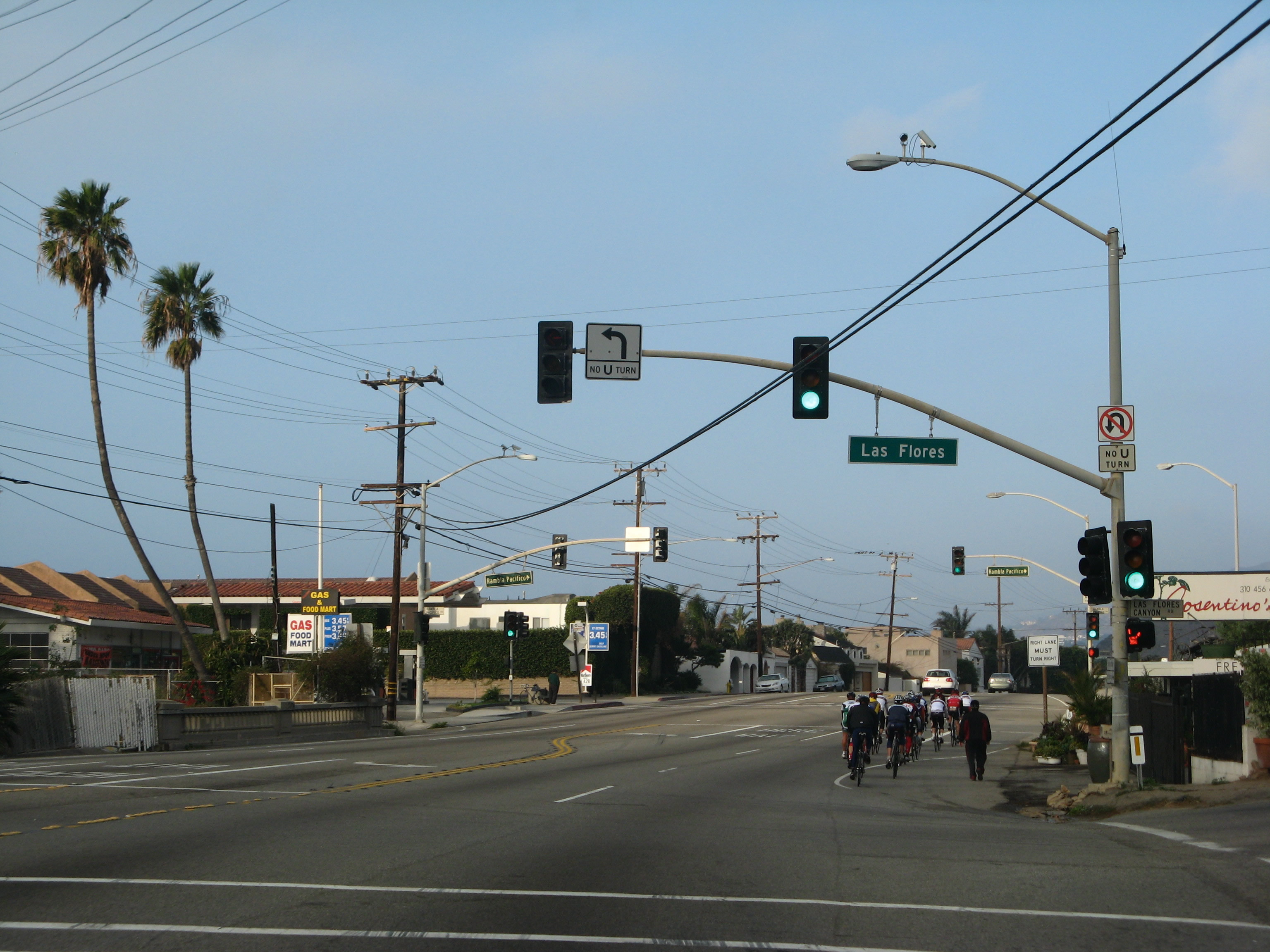
Las Flores Canyon Road and Ramble Pacifico Street south tie into California 1 (Pacific Coast Highway) at succeeding signalized intersections and Las Flores. Both streets lead north into the hills, offering access to residential areas and evetually linking to Stunt Road and Mulholland Highway. Between the two intersections is a 1931 bridge with old style railing.
11/22/07
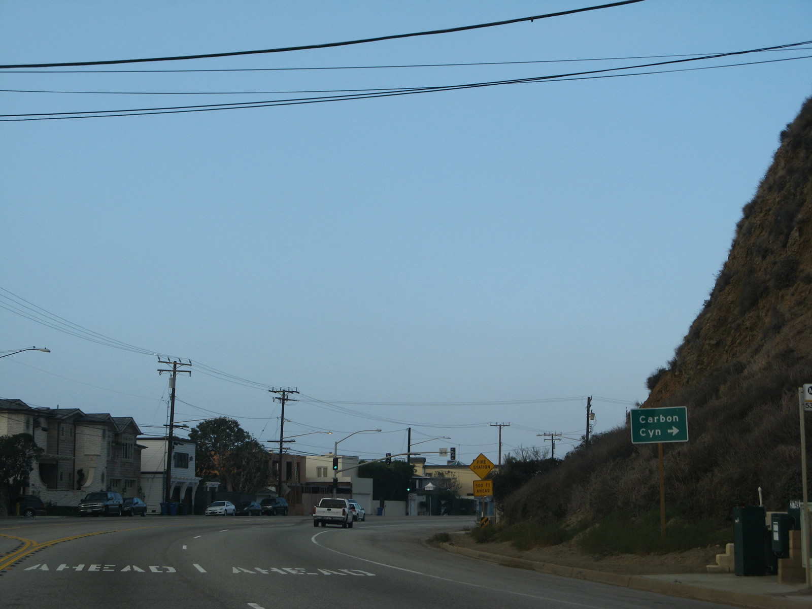
Carbon Canyon Road stems north from SR 1 (Pacific Coast Highway) into Carbon Canyon south of Saddle Peak.
11/22/07
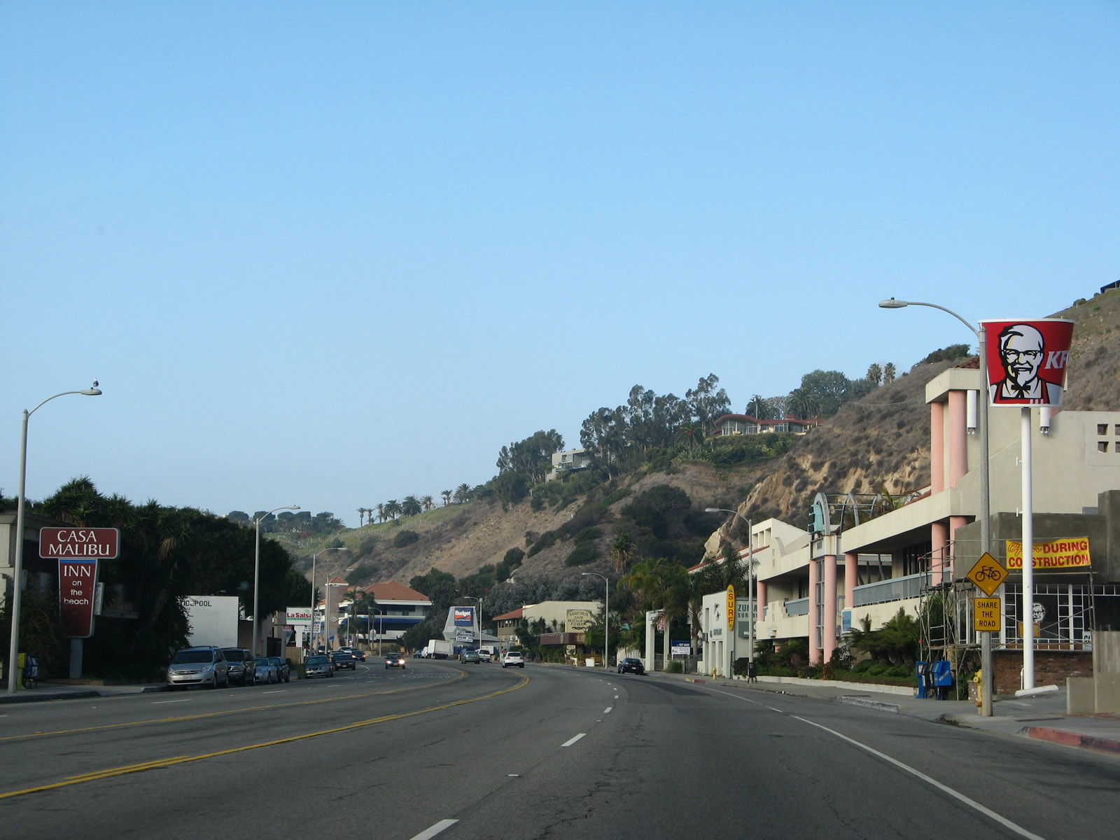
Pedestrian signals operates along a commercialized stretch of California 1 (Pacific Coast Highway) west between Carbon Canyon and Malibu Lagoon State Beach.
11/22/07
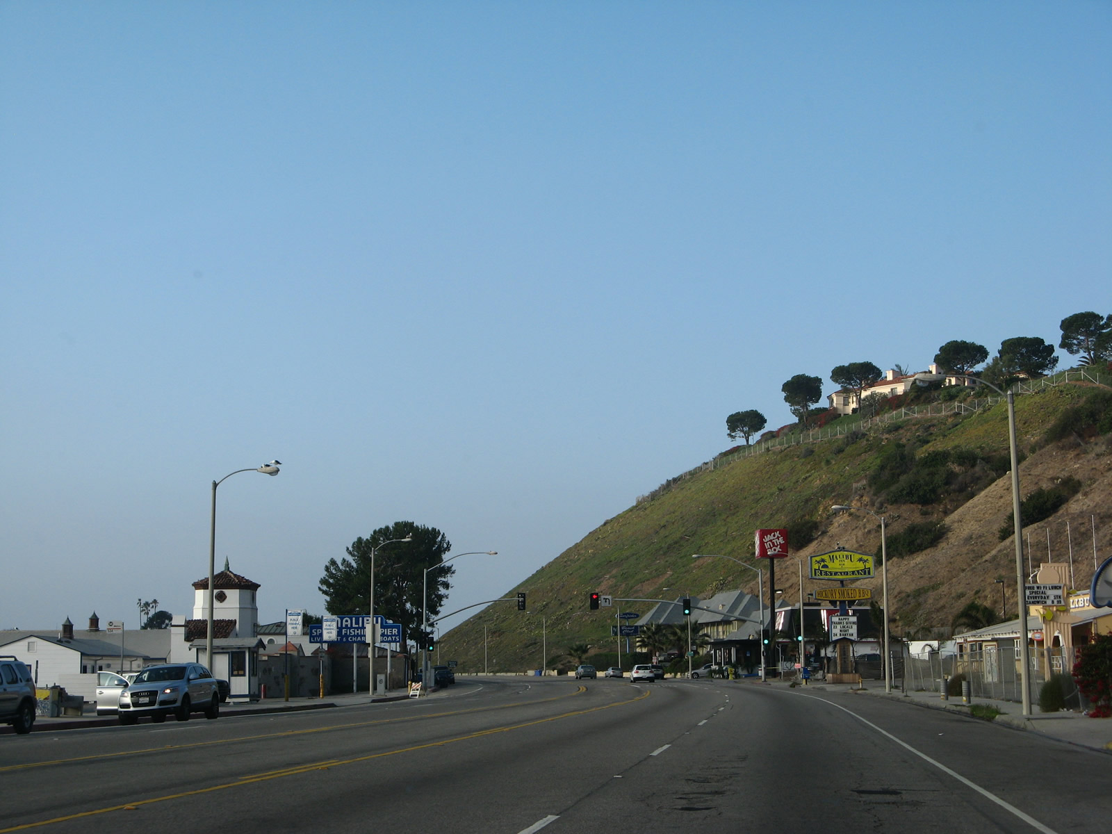
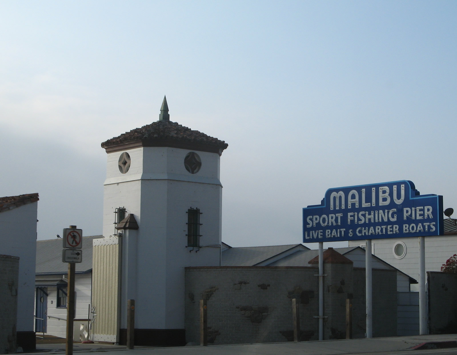
Operated by California State Parks, Malibu Pier is a launching point for boat charter tours as well as a place to fish, swim, and surf. It was built in 1905 and opened to the public in 1934. The State of California took ownership in 1980 and has operated ever since, although it was closed for a period in the mid-1990s due to storm damage to the pier.
11/22/07
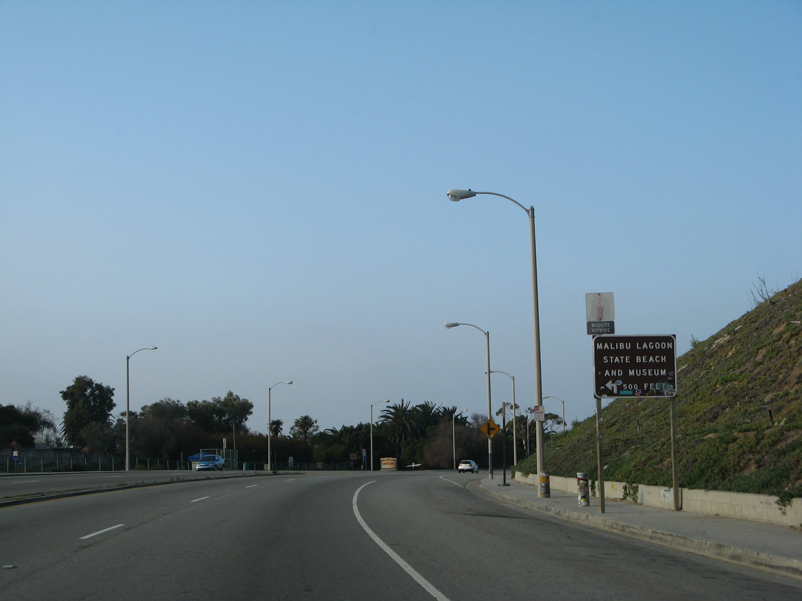
Following Malibu Pier, the next turnoff from SR 1 northbound is for Malibu Lagoon State Beach. On-street parking and this parking area area available for visitors to the Pier, the historic Adamson House museum, and scenic beauty of the lagoon.
11/22/07
California 1 (Pacific Coast Highway) crosses Malibu Lagoon at post mile 46.88.
11/22/07
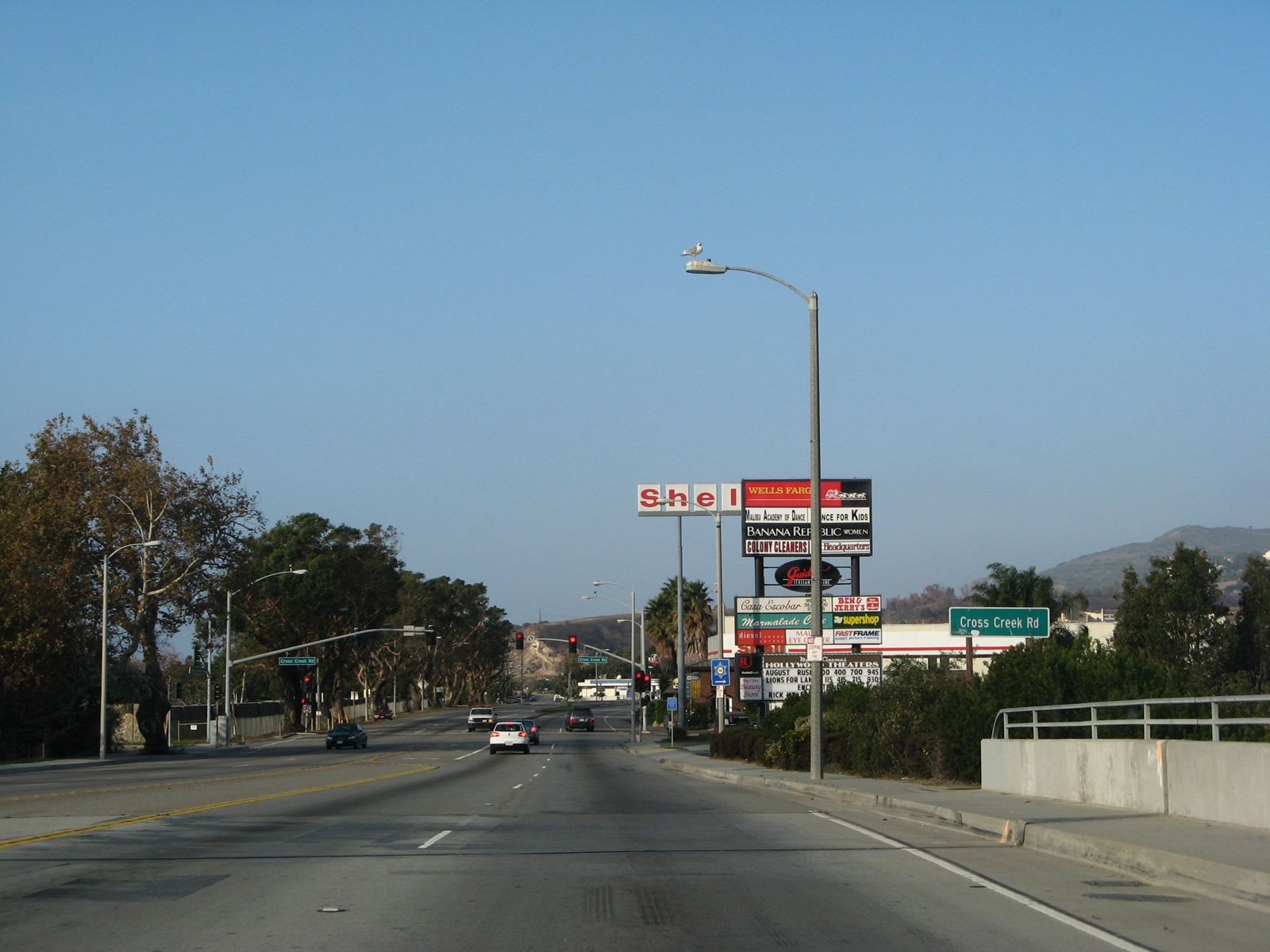
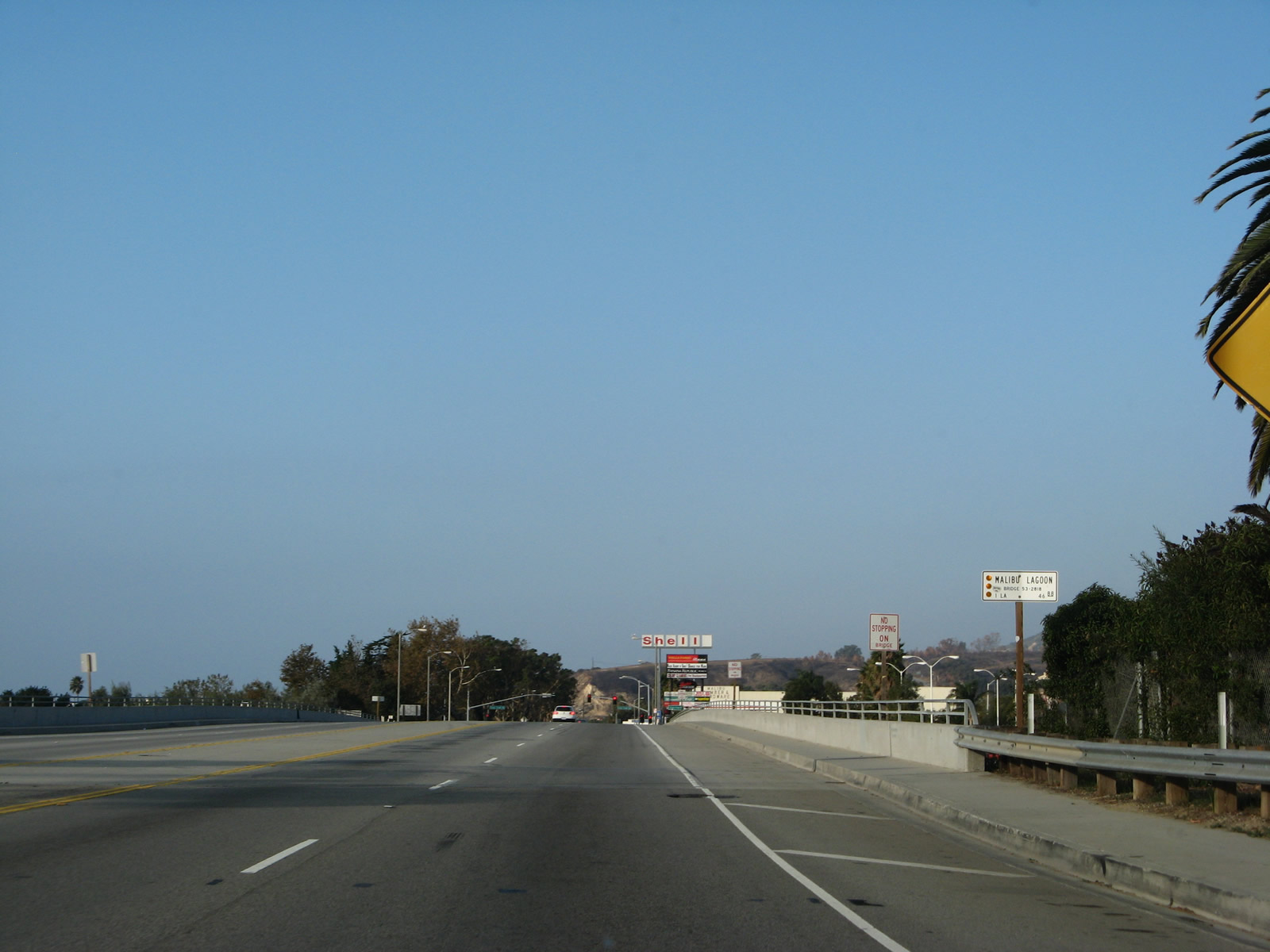
Cross Creek Road connects SR 1 to Civic Center Way and a signficant business district of Malibu. Malibu Beach is to the south.
11/22/07
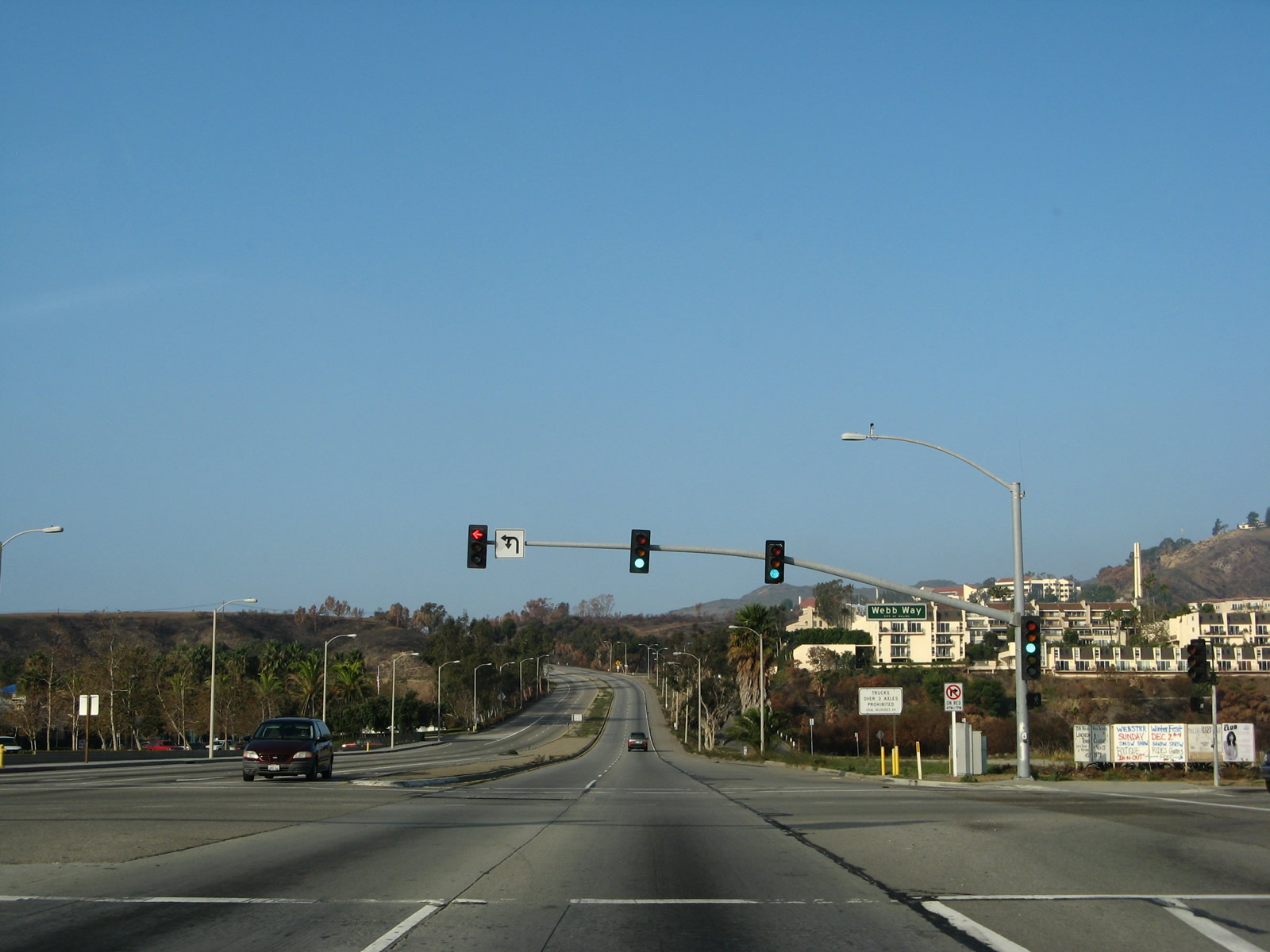
Webb Way serves as a turnoff to Malibu City Hall and Civic Center from California 1 (Pacific Coast Highway). Pepperdine University comes into view on the hill overlooking the civic center area.
11/22/07
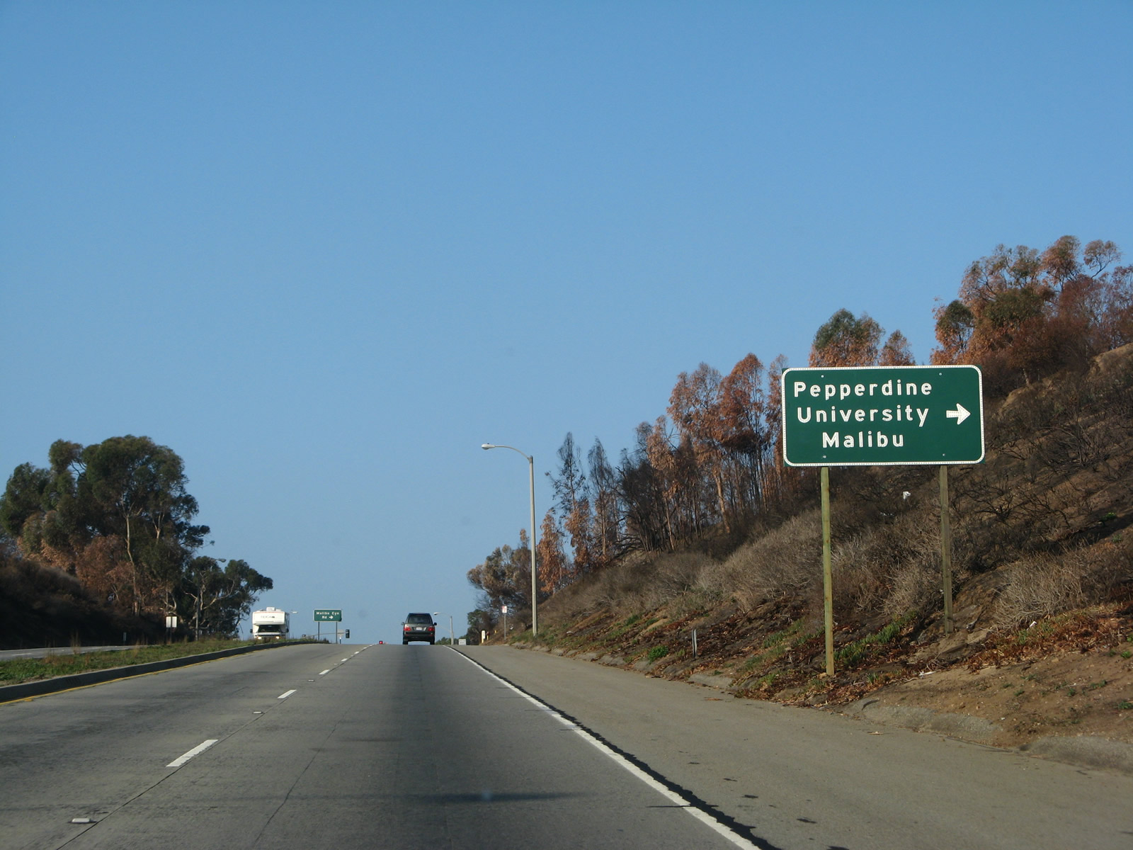
The main entrance to the campus at Pepperdine University is located off forthcoming Malibu Canyon Road (CR N-1) north.
11/22/07
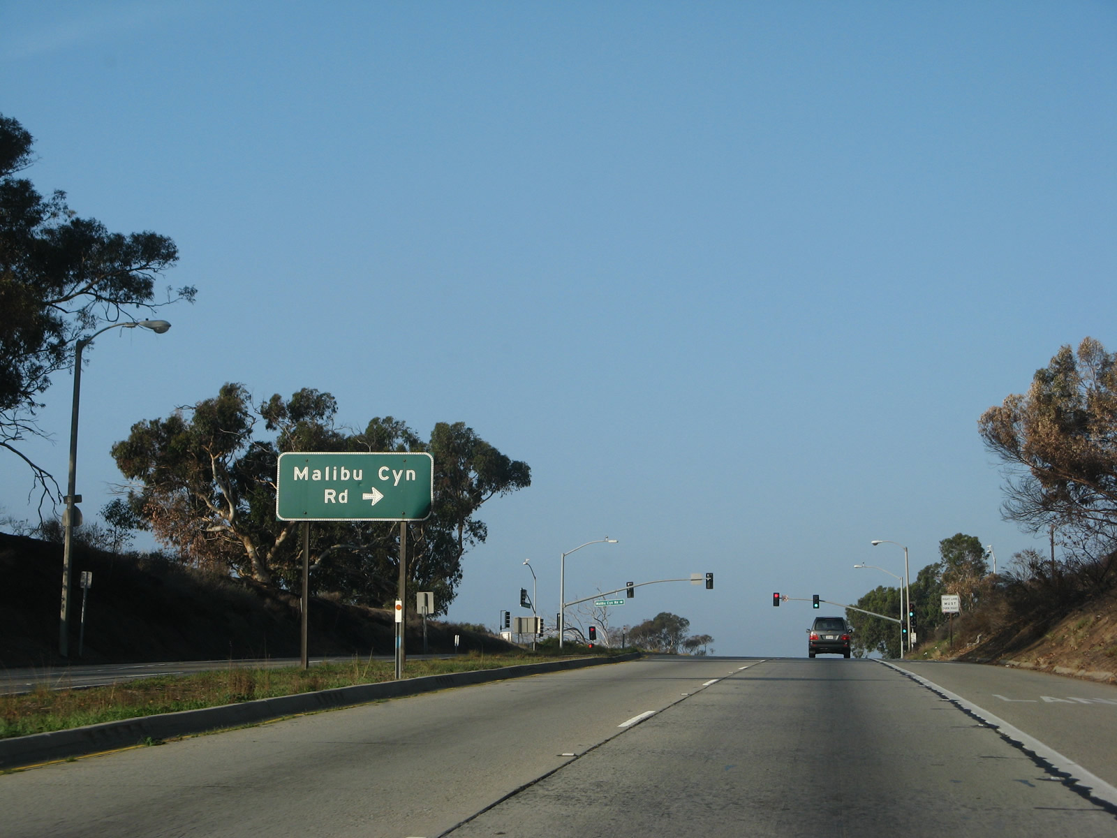
Unmarked from SR 1 northbound, Los Angeles County Route N-1 (Malibu Canyon Road) travels north through the Santa Monica Mountains to U.S. 101 (Ventura Freeway).
11/22/07
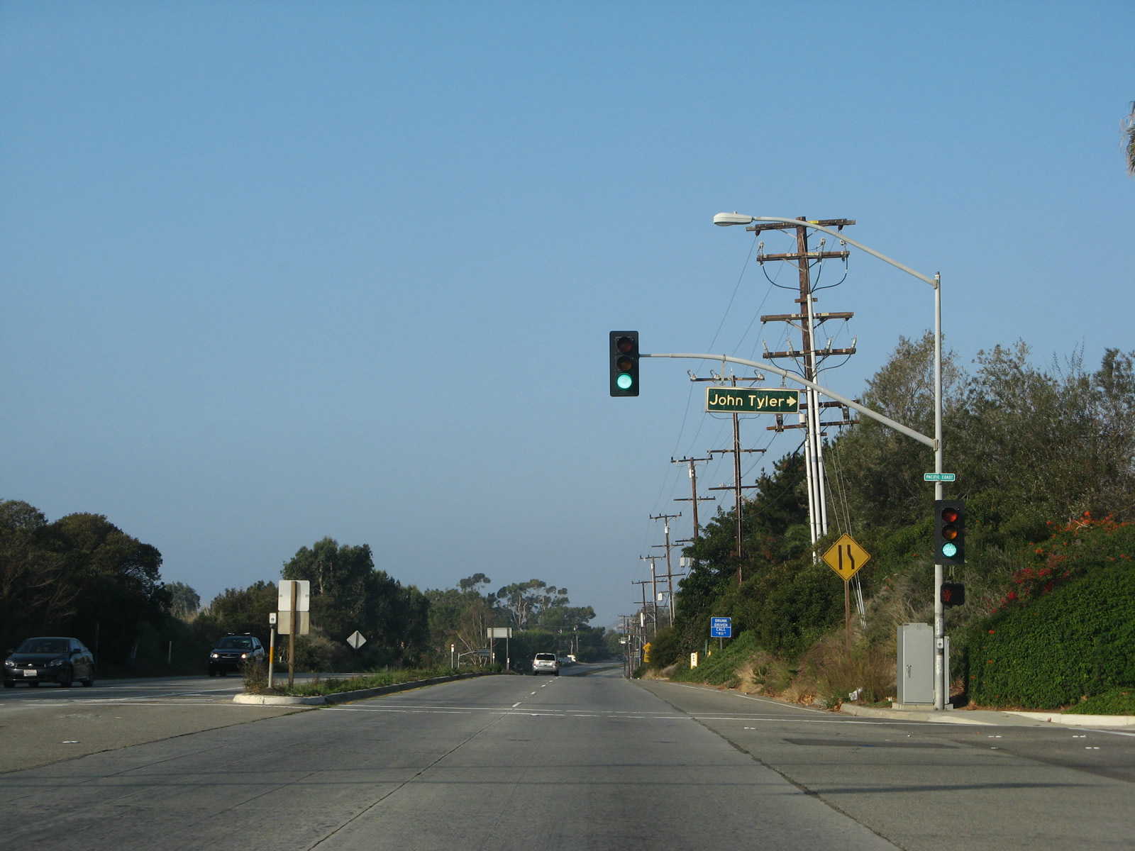
Passing Malibu Bluffs peak, California 1 (Pacific Coast Highway) advances west to John Tyler Drive north to Pepperdine University's campus.
11/22/07
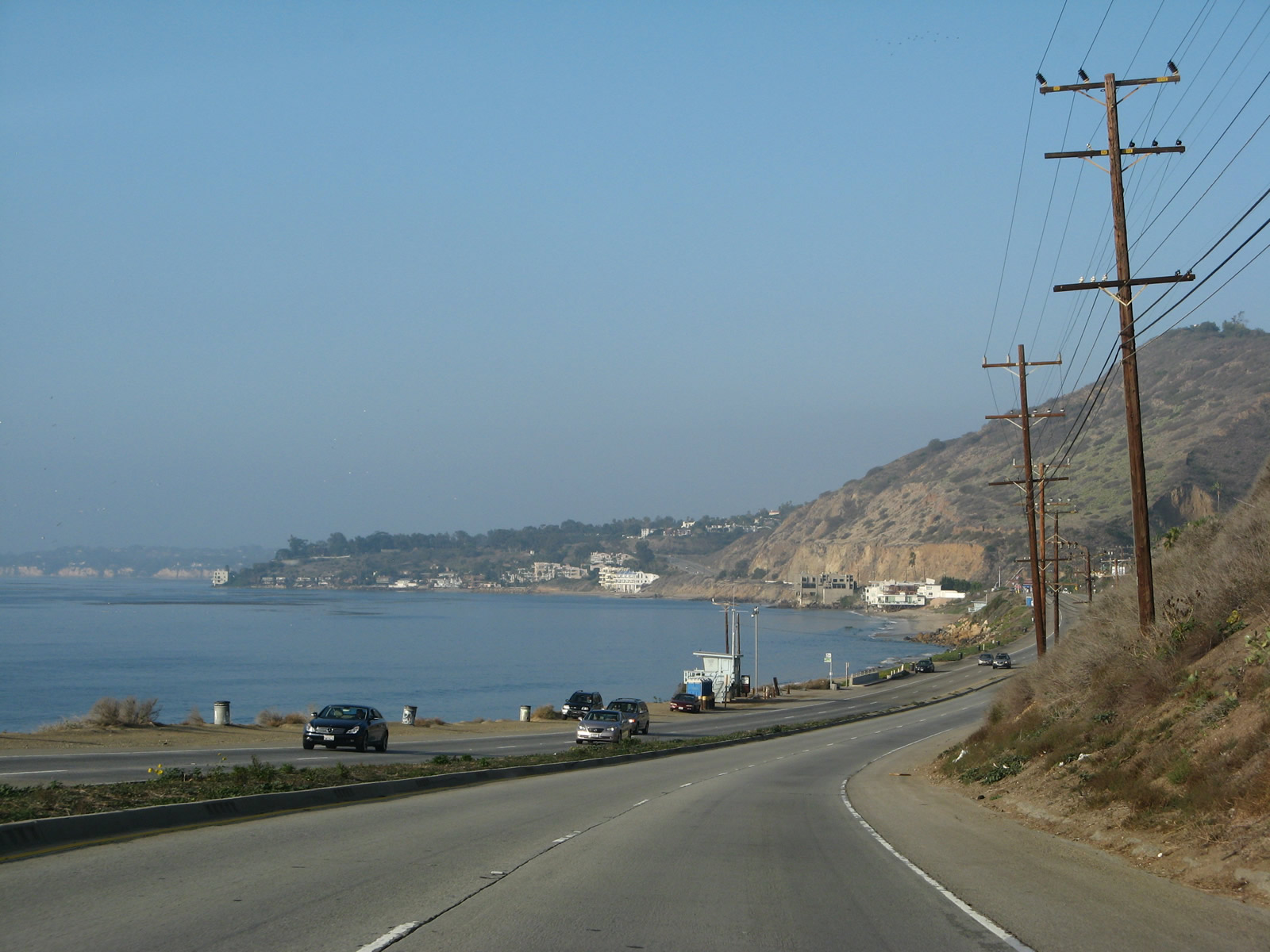
California 1 (Pacific Coast Highway) runs directly alongside the Pacific Ocean at Corral Canyon.
11/22/07
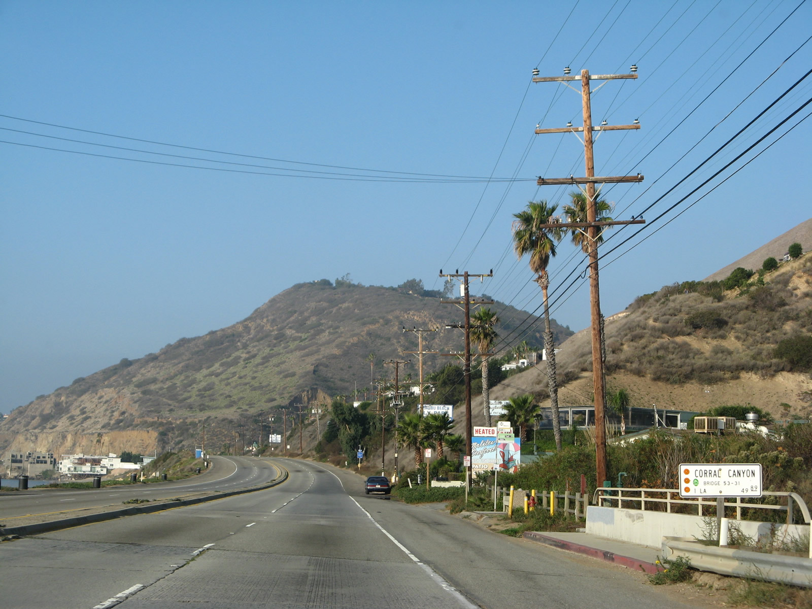
Pacific Coast Highwaycrosses Corral Canyon at postmile 49.89.
11/22/07
California 1 (Pacific Coast Highway) continues west by Solstice Canyon.
11/22/07
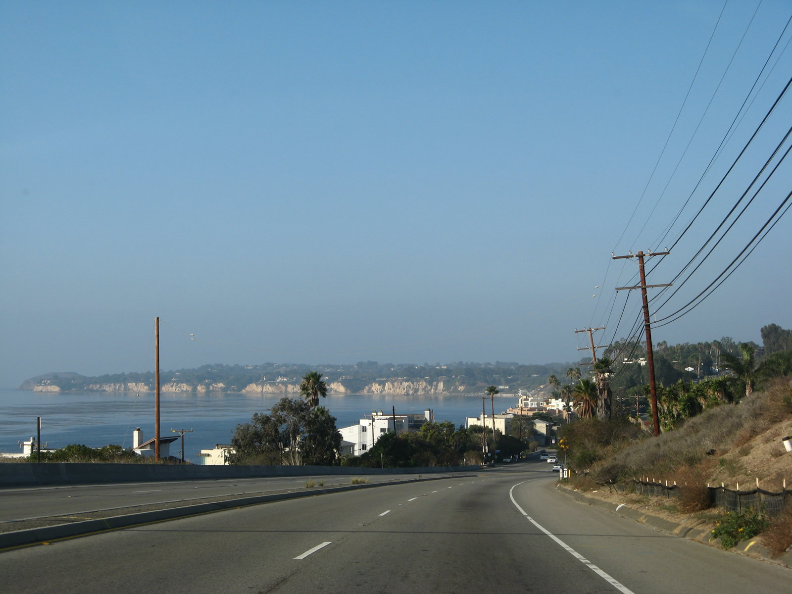
Distant Point Dume appears along the Pacific coast from California 1 (Pacific Coast Highway) west of Latigo Canyon Road.
11/22/07
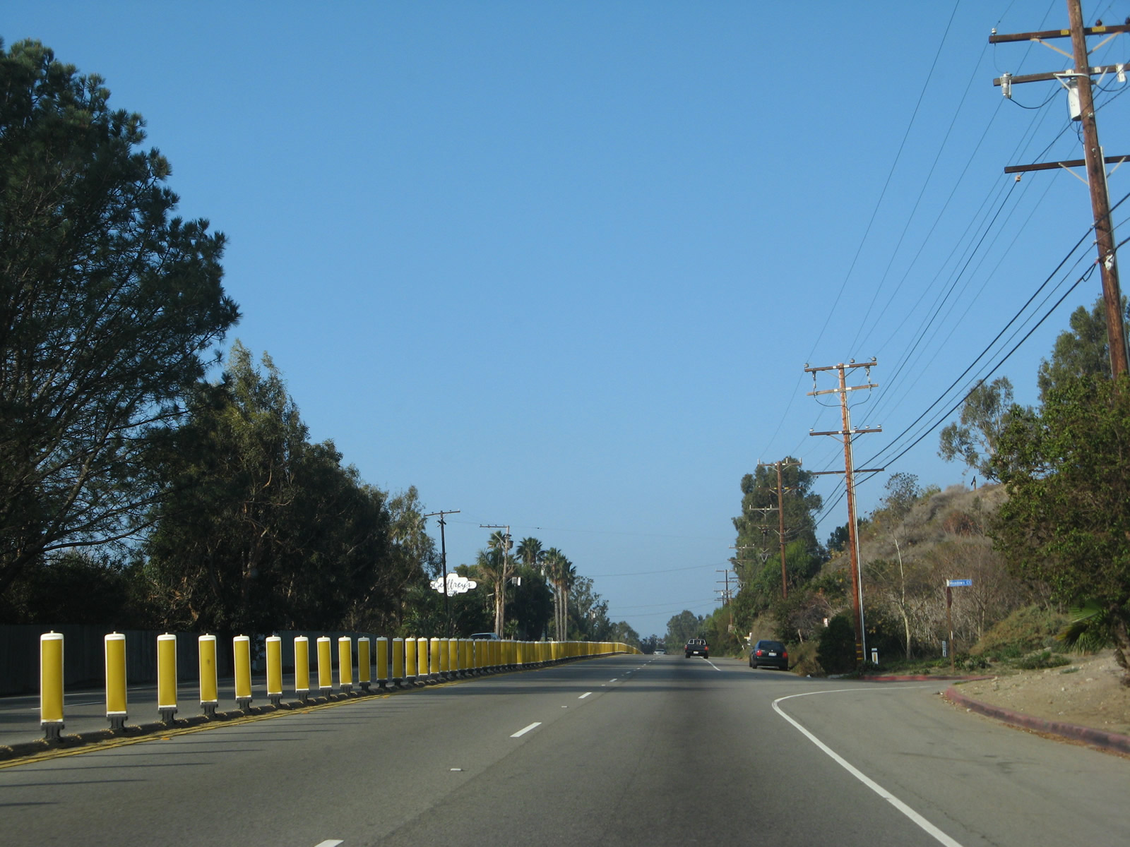
Plastic pylons separate traffic along California 1 (Pacific Coast Highway) at Meadows Court.
11/22/07
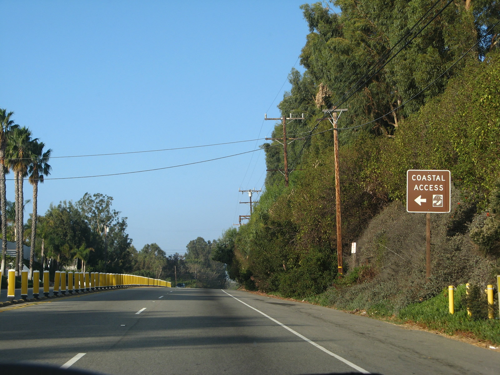
SR 1 northbound at the public access point to Escondido Beach. Maintenance over public access ways in Malibu are addressed by 'offers to dedicate' (OTDs). These are legal easements that provide access to the coast across private property that often run between densely packed multimillion-dollar beach homes along the Pacific Coast Highway. The California Coastal Conservancy works in partnership with local governments, other state agencies and nonprofit land trusts to acquire, develop and manage these public passageways.1
11/22/07
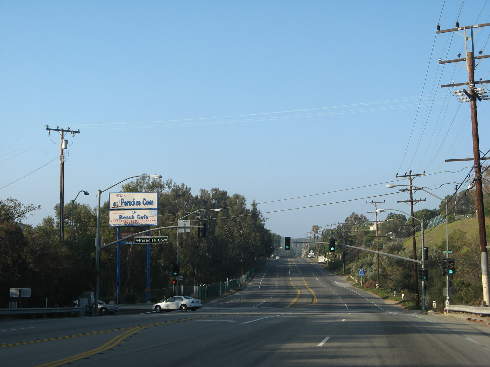
The next traffic signal is with Paradise Cove Road, which leads to Paradise Cove, which includes a restaurant and pier.
11/22/07
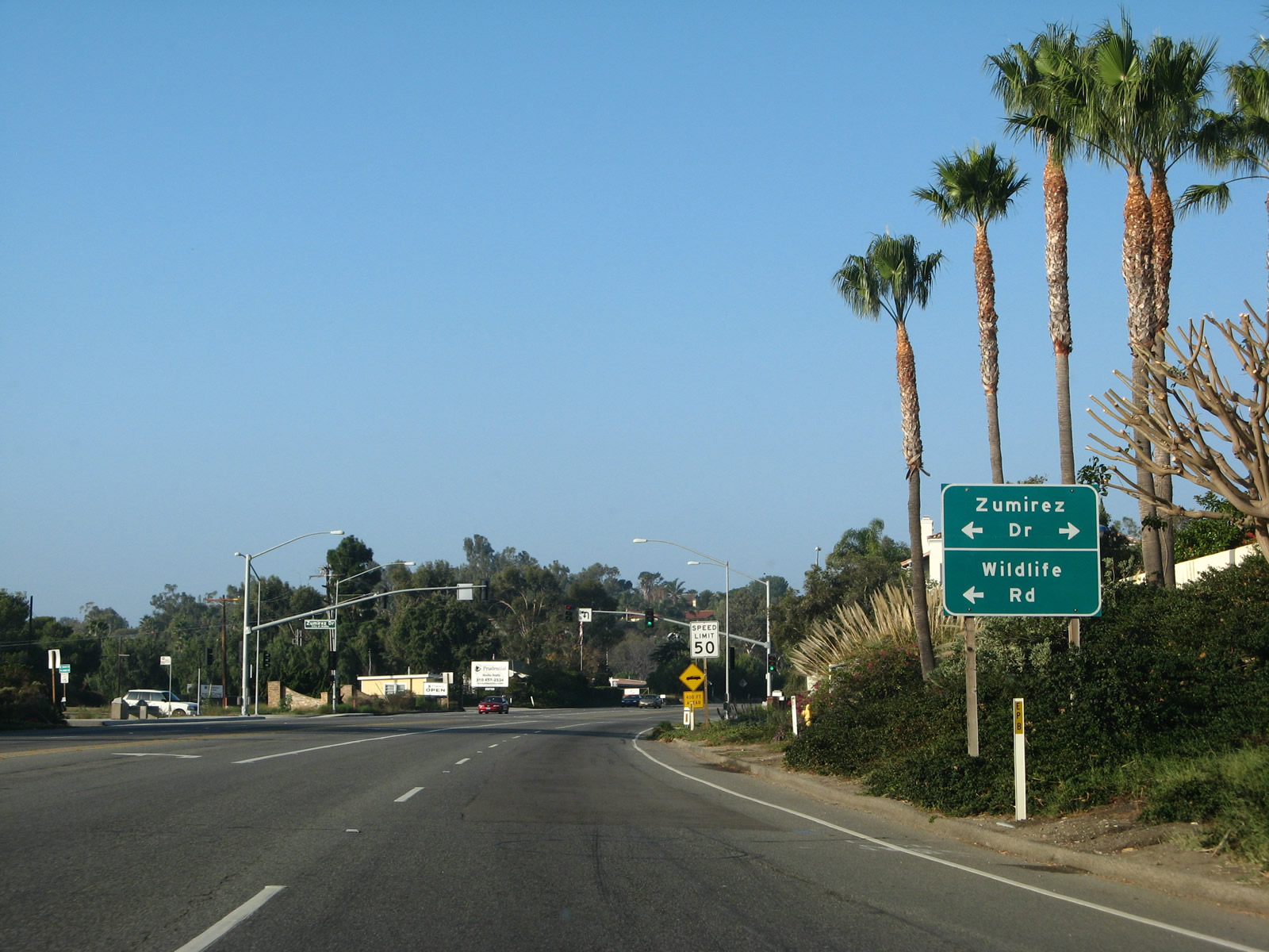
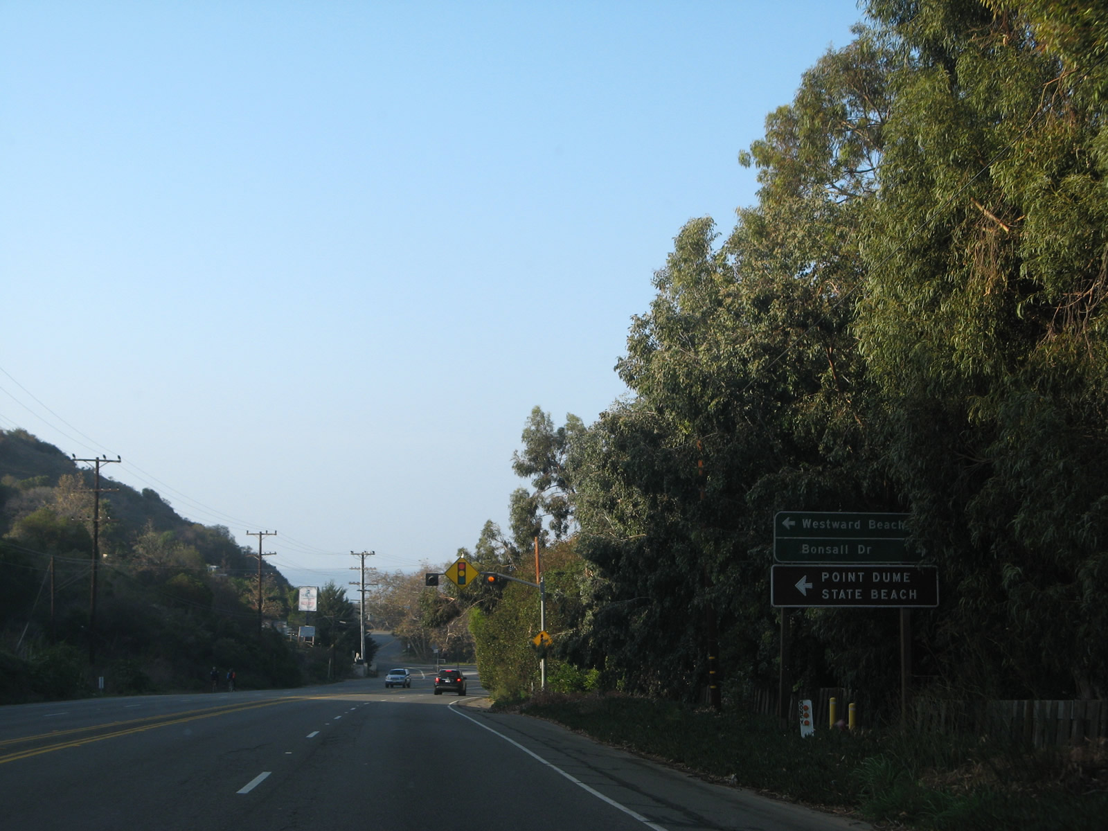
Access to Point Dume State Beach from SR 1 can be provided via Zumirez Drive/Wildlife Road south to Fernhill Drive south to Cliffside Drive west. Another method is to remain on SR 1 (PCH) west until the turnoff at Zuma Beach just ahead, which also connects to Westward Beach, which is a county park.
11/22/07
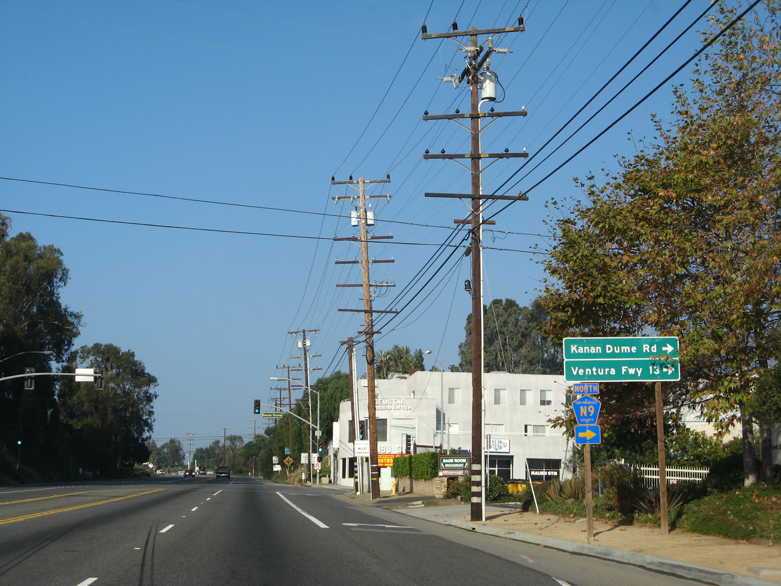
Los Angeles County Route N-9 (Kanan Dume Road) travels north across the Santa Monica Mountains to Mulholland Highway, where it changes to Kanan Road en route to U.S. 101 at Exit 36 in the community of Agoura Hills. Designated as CR N-9 in 1974, the entire route from PCH to U.S. 101 is 12.3 miles long, with the Kanan Road segment built in 1964 and the Kanan-Dume Road segment built in 1974.2The highway travels through Santa Monica Mountains National Recreation Area and through a tunnel south of Mulholland Highway and through two more north of Mulholland Highway.
11/22/07
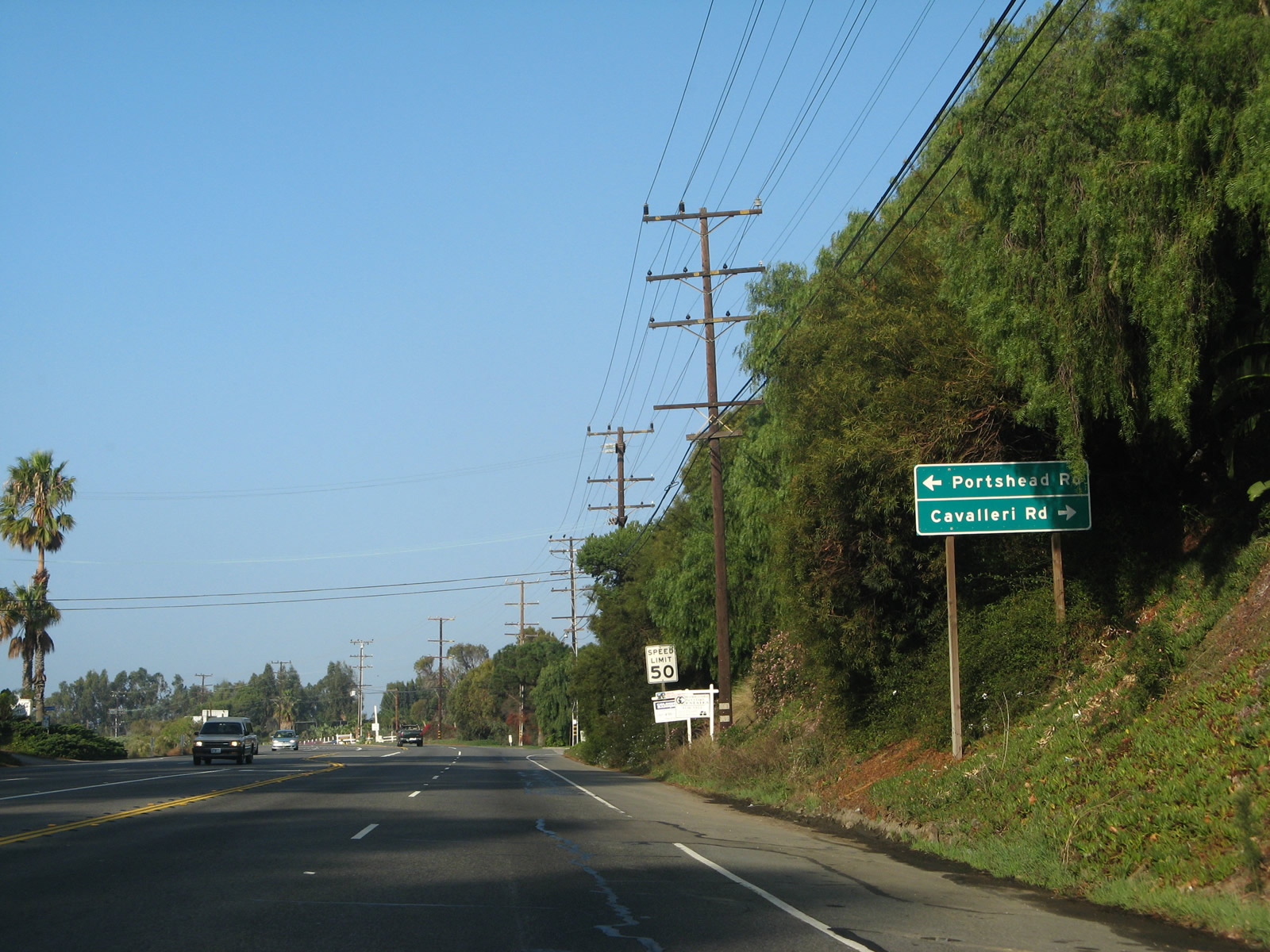
Cavalleri Road south and Portshead Road north come together at the ensuing intersection west of County Route N-9.
11/22/07
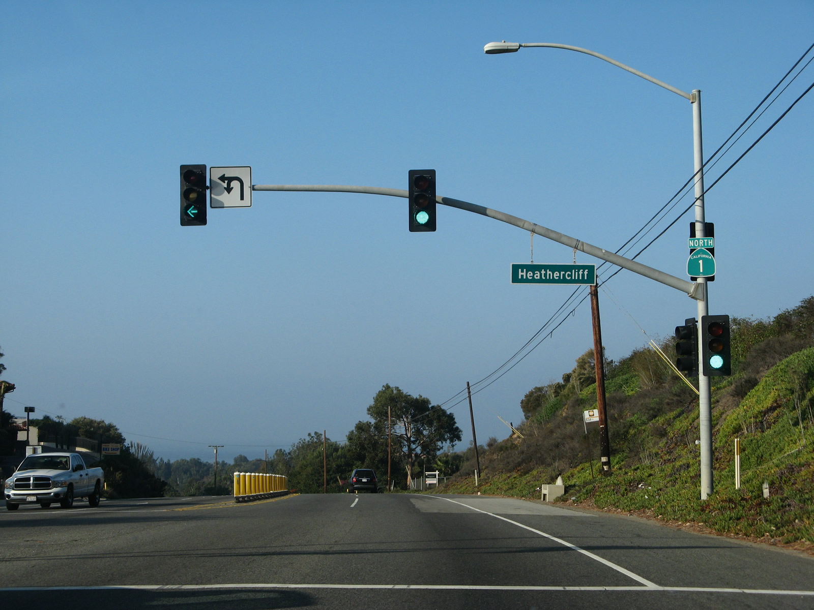
Heathercliff Road / Emily Shane Way spurs south to the Point Dume Mobile Home Park from a siganalized intersection with PCH.
11/22/07
Westward Beach and Point Dume State Beach line the coast south of Zuma Canyon and west of Malibu Riviera.
11/22/07
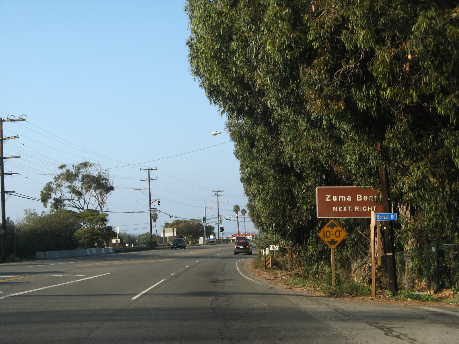
A loop ramp departs from SR 1 northbound next for the access road to Zuma Beach.
11/22/07
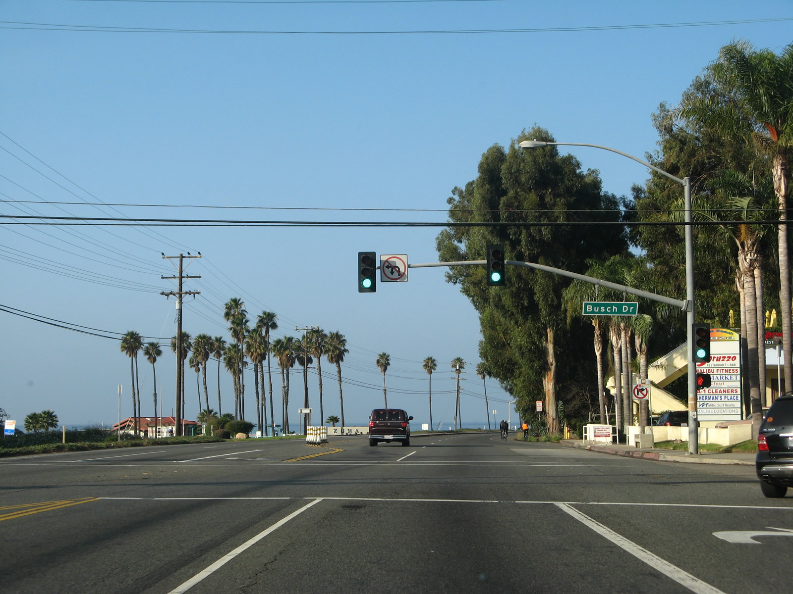
Busch Drive stems north to residential areas overlooking Zuma Canyon from the traffic light on SR 1 west of the ramp to Zuma Beach.
11/22/07
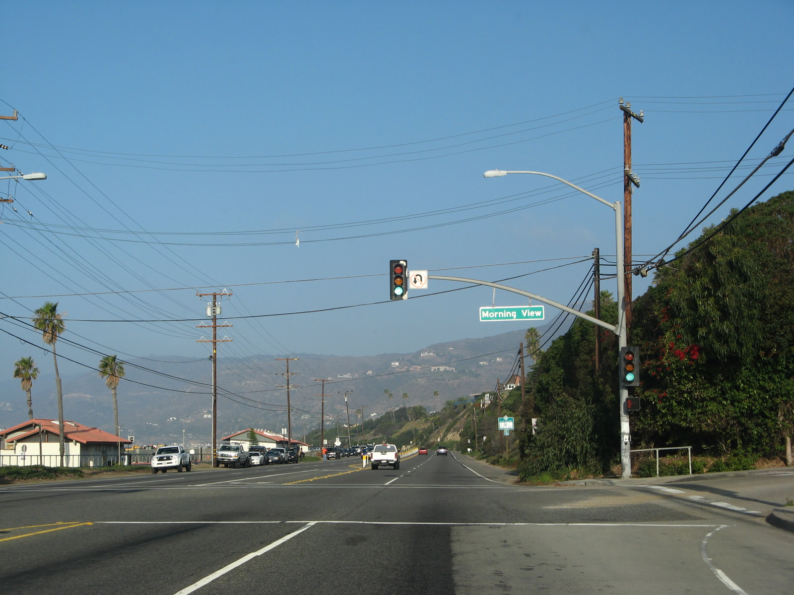
Pacific Coast Highway runs west along Zuma Beach while Monrning View Drive parallels SR 1 to the north from west of Malibu High School.
11/22/07
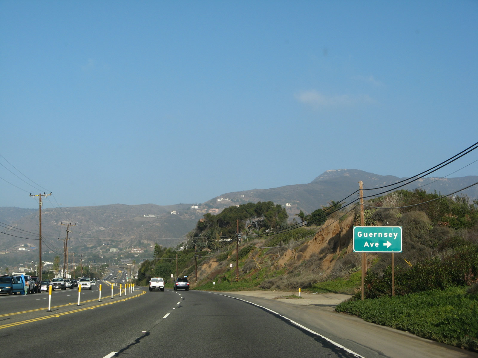
Guernsey Avenue links SR 1 at the west end of Zuma Beach with Morning View Drive.
11/22/07
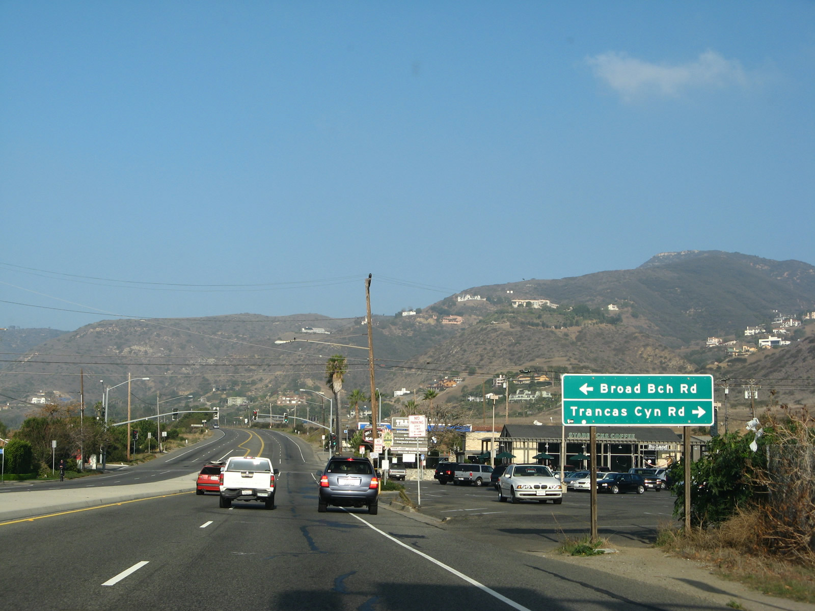
Broad Beach Road is a residential street paralleling SR 1 to the south along oceanside homes. Trancas Canyon Road spurs north to a residential area in Trancas Canyon.
11/22/07
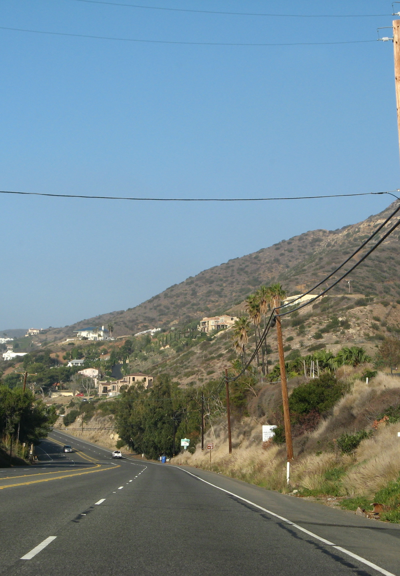
Pacific Coast Highway west between Trancas Beach and Steep Hill Canyon.
11/22/07
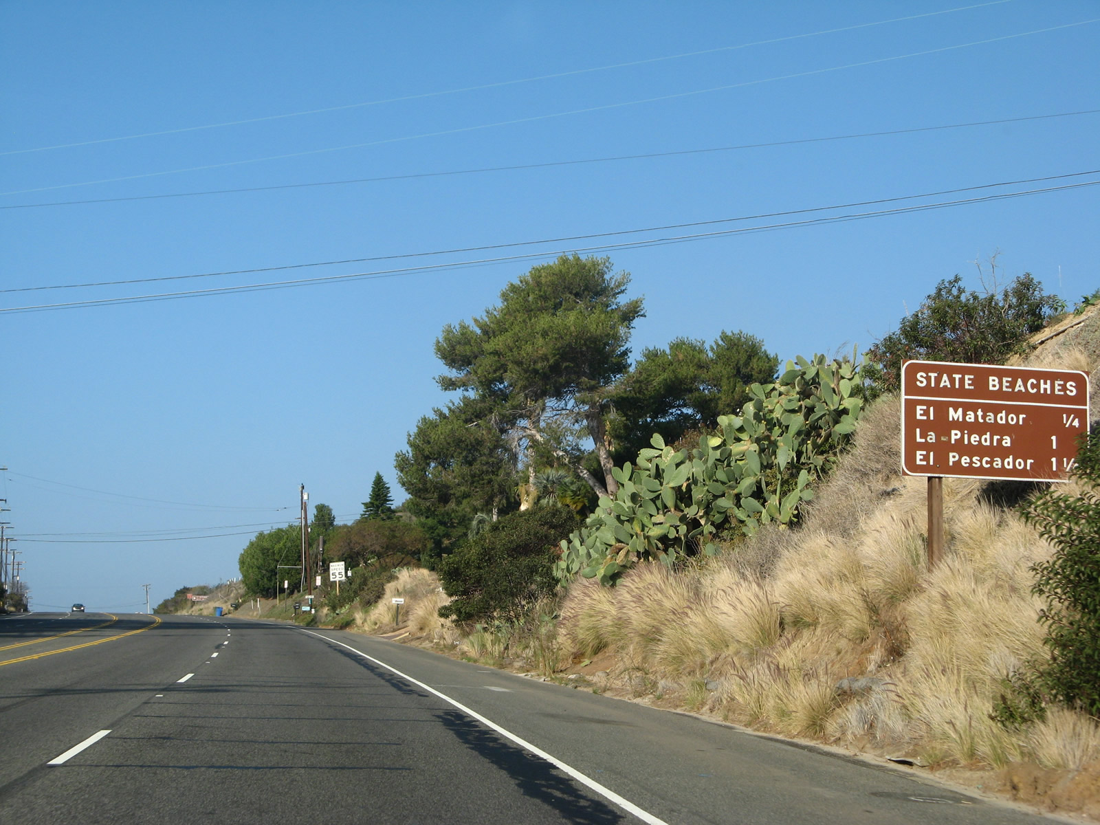
The next public access to the Pacific Ocean along the south side of PCH is El Matador State Beach, La Piedra State Beach and El Pescador State Beach.
11/22/07
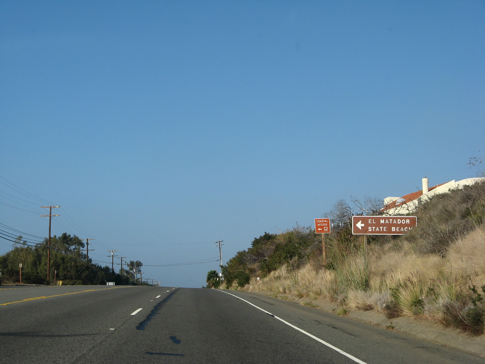
El Matador State Beach lies south of Encinal Canyong.
11/22/07
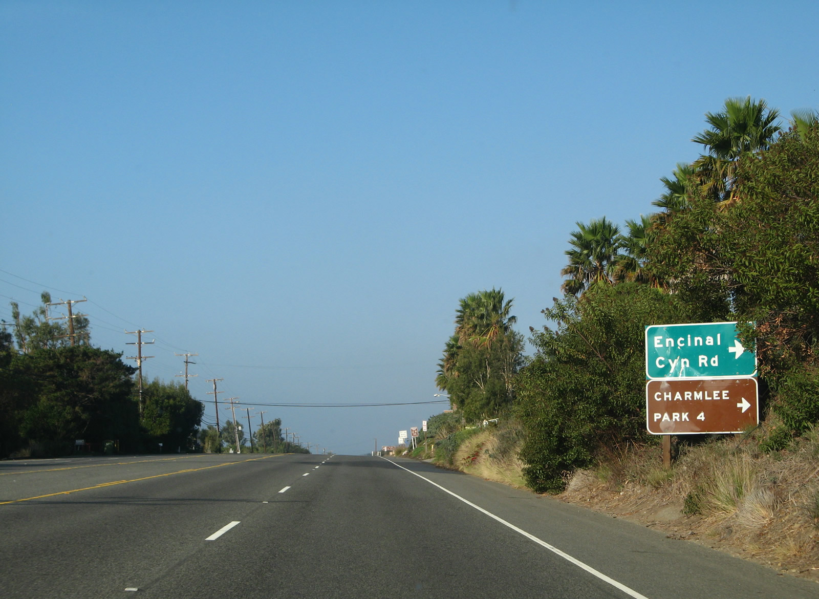
Encinal Canyon Road climbs northward to Charmlee Wildernees Park en route to SR 23 (Decker Road) at Barney Knob.
11/22/07
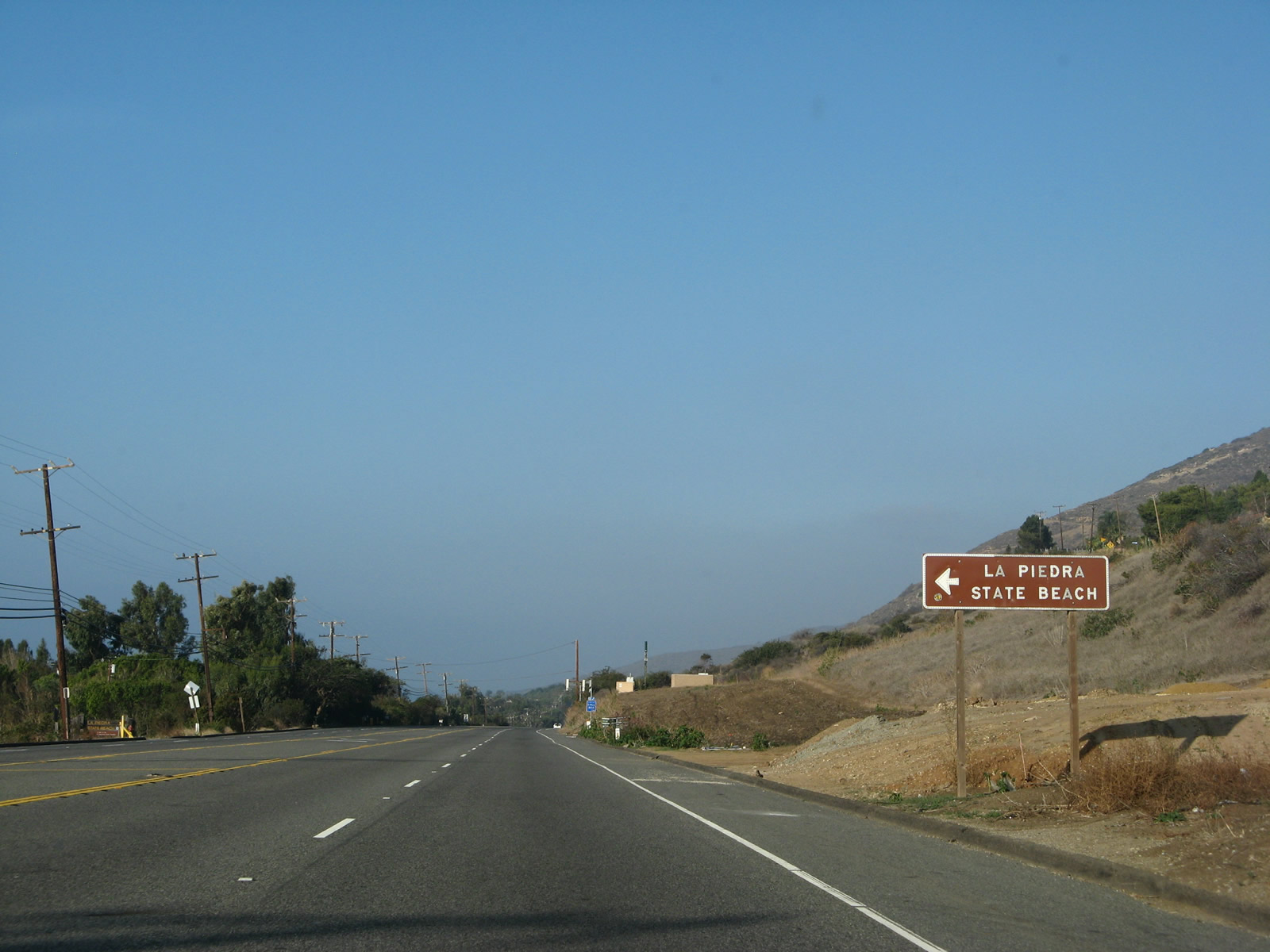
La Piedra Beach follows along the south side of PCH after the intersection with Encinal Canyon Road.
11/22/07
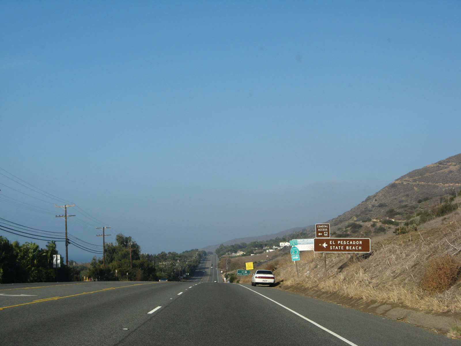
El Pescador State Beach precedes the south end of SR 23 along SR 1 near Los Allos Canyon.
11/22/07
California 23 (Decker Road) traverses the Santa Monica Mountains north to U.S. 101 at Exit 40 in Thousand Oaks.
11/22/07
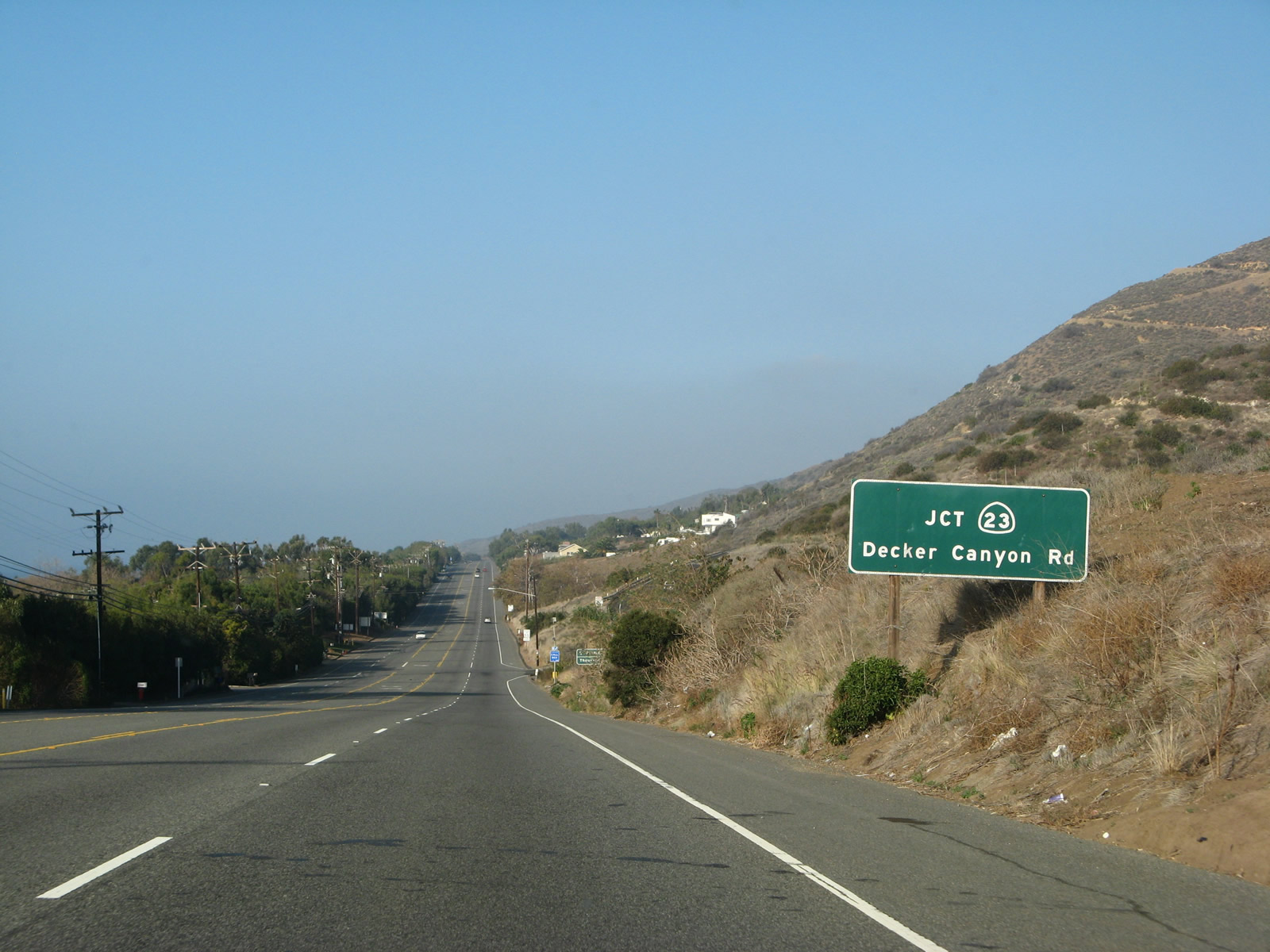
This winding, busy route is not necessarily the most direct route between California 1 and U.S. 101, as Los Angeles County Route N-9 is arguably a better road. However, it is a state route requiring higher standards.
11/22/07
![While the portion of California 23 between U.S. 101 (Ventura Freeway) and California 118 (Ronald Reagan [Simi Valley] Freeway) in Moorpark is built to freeway standards, the segment of California 23 from Malibu north to U.S. 101 is generally a two-lane conventional highway. California 23 reverts to two lanes north from Moorpark to California 126 in Fillmore.](../../ca/001/ca-001-n-at-ca-023-3.jpg)
While the portion of California 23 between U.S. 101 (Ventura Freeway) and California 118 (Ronald Reagan [Simi Valley] Freeway) in Moorpark is built to freeway standards, the segment of California 23 from Malibu north to U.S. 101 is generally a two-lane conventional highway. California 23 reverts to two lanes north from Moorpark to California 126 in Fillmore.
11/22/07
References:
- Coastal Clash: How Beaches Work. KQED http://www.kqed.org/w/coastalclash/recreation.html
- The Million-Dollar Highway by Michael Aushenker, Malibu Times, June 20, 2012. http://www.malibutimes.com/malibu_life/article_8ce8fcbe-001f-5e3a-ac63-1cd496d48f9b.html Relevant quote: Lou and Mark Boyar, developers of post World War II suburbia in greater Los Angeles, "developed Kanan Road in 1964 as a pathway from the Santa Monica Mountains, crossing Highway 101 two miles north of the freeway into a slow-starting development of model homes called Oak Park in southeastern Ventura County, bordered on the west by Thousand Oaks and to the south by Agoura Hills and Westlake Village. When a 1970 brush fire left the 2,600-acre McGee ranch just north of Agoura in embers, the Boyars pounced on the deal and expanded the new community. Kanan-Dume Road was completed in 1974, but not before rumblings in the U.S. Congress. In the early 1960s, Art Whizin and other Agoura locals pushed for a Valley-to-the-Sea highway from the Ventura Freeway for faster access to the beaches and to ease expected freeway congestion, but were rebuffed. In 1973, Congressman Barry Goldwater, Jr. said that a master plan for the Santa Monica Mountains was needed desperately, as he feared the completion of Kanan-Dume Road would be 'the single biggest boon to indiscriminate use of the mountains for years' and that it would 'open up mass areas for development.' He and others pushed for the Santa Monica Mountains National Recreation Area, which prevented the extensive development he feared."
Photo Credits:
- Andy Field: 07/03/05, 11/22/07
Connect with:
Page Updated Sunday January 03, 2016.