
State Route 1 North - Redondo Beach to El Segundo
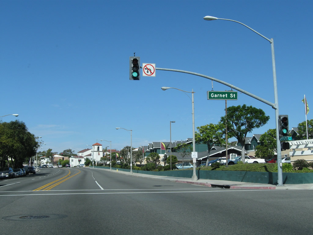
California 1 (Pacific Coast Highway) at Garnet Street in the city of Redondo Beach near the Redondo Beach Pier. The city had a population of 63,261 as of the 2000 Census and was incorporated on April 29, 1892.
02/13/11
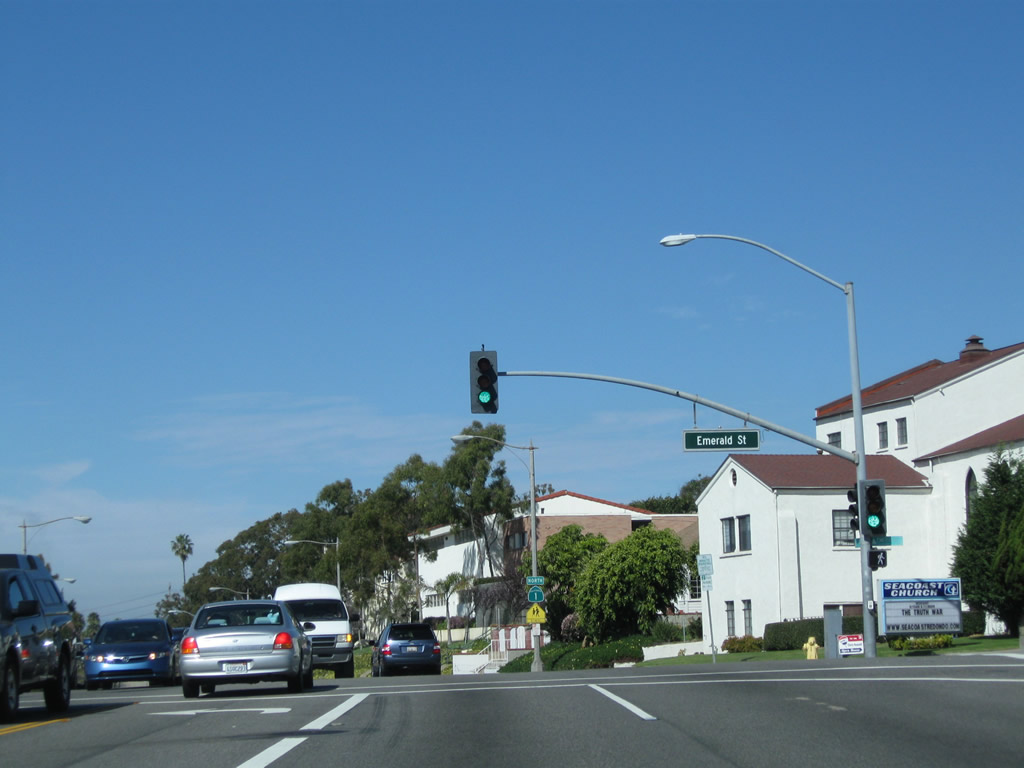
The next signalized intersection on California 1 north is with Emerald Street.
02/13/11
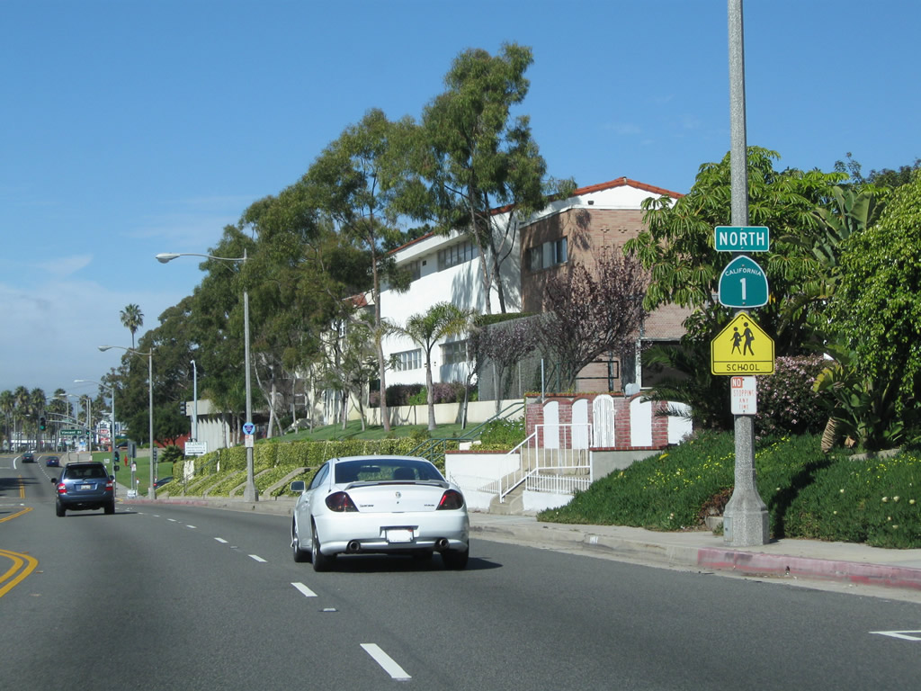
A California 1 north reassurance shield is posted after the Emerald Street intersection.
02/13/11
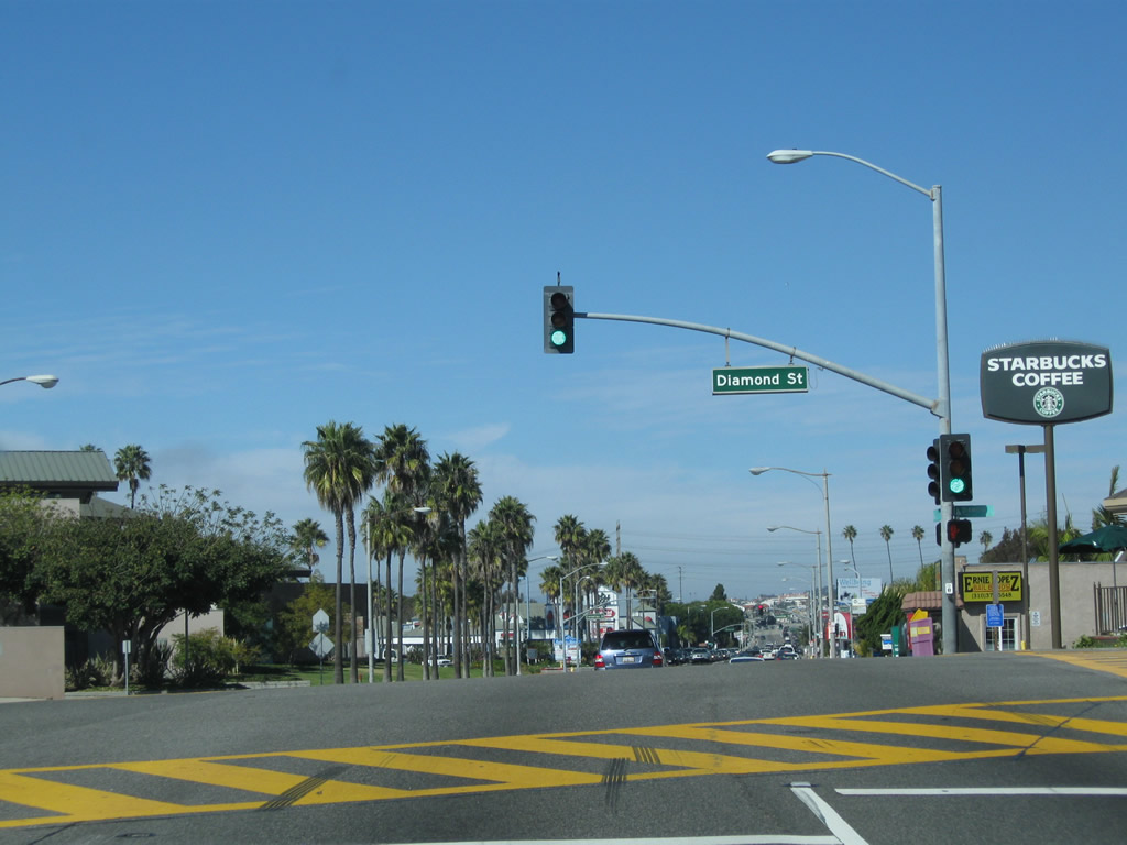
Northbound California 1 (Pacific Coast Highway) meets Diamond Street at this traffic signal.
02/13/11
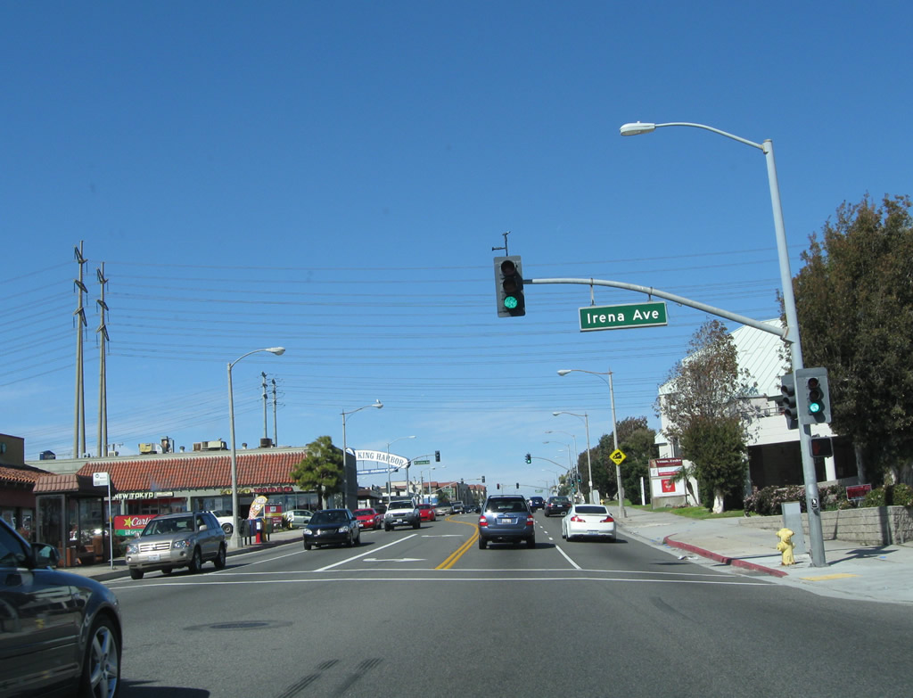
After passing by Carnelian Street, Beryl Street, and Agate Street, California 1 intersects with Irena Avenue here. Irena Avenue travels southeast toward Redondo Union High School.
02/13/11
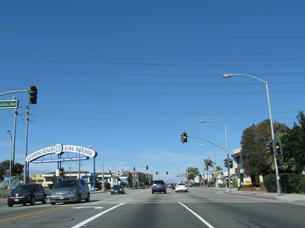
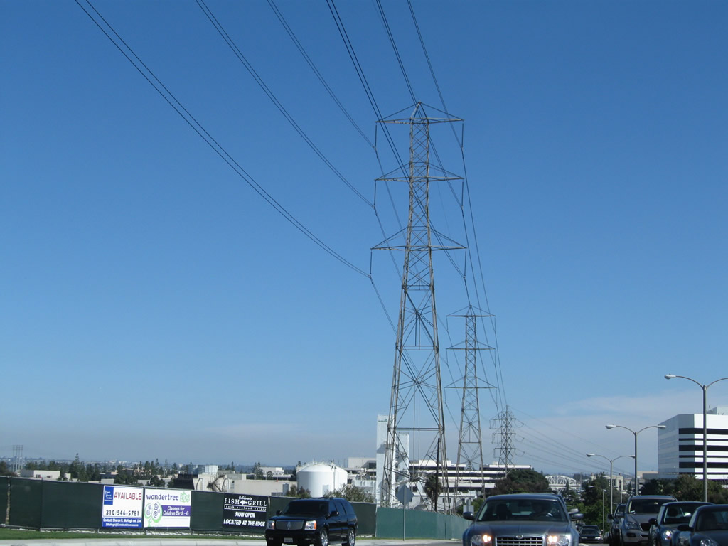
With several high-tension power lines passing overhead, northbound California 1 meets Catalina Avenue. This road travels southwest and then south to parallel the coast, offering more beach views than those found on California 1 itself. A sign heralding the Redondo Beach Pier is located at this intersection, even though the pier itself is located several blocks south of here. The sign is marked here mostly for southbound travelers using Catalina Avenue to travel to the pier.
02/13/11
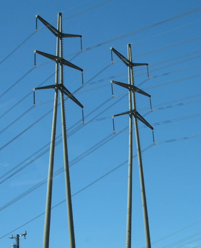
Towering 220kV Southern California Edison transmission lines cross over the Pacific Coast Highway in northern Redondo Beach. These lines transmit electricity generated by the AES California power plant. 1350 megawatts of electricity is generated by steam heated by natural gas.
02/13/11
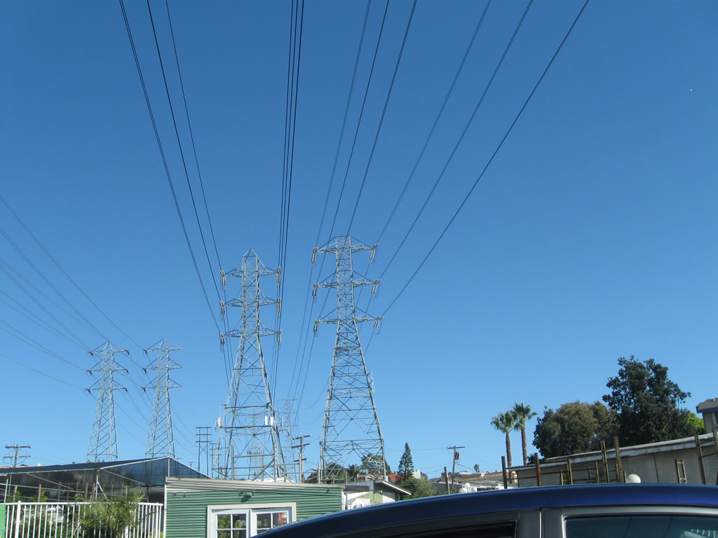
The 220kV Southern California Edison transmission lines in Redondo Beach lead east to a large substation located near the interchange of I-405 and SR 91, near the intersection of Yukon Avenue and 177th Street in Torrance.
02/13/11
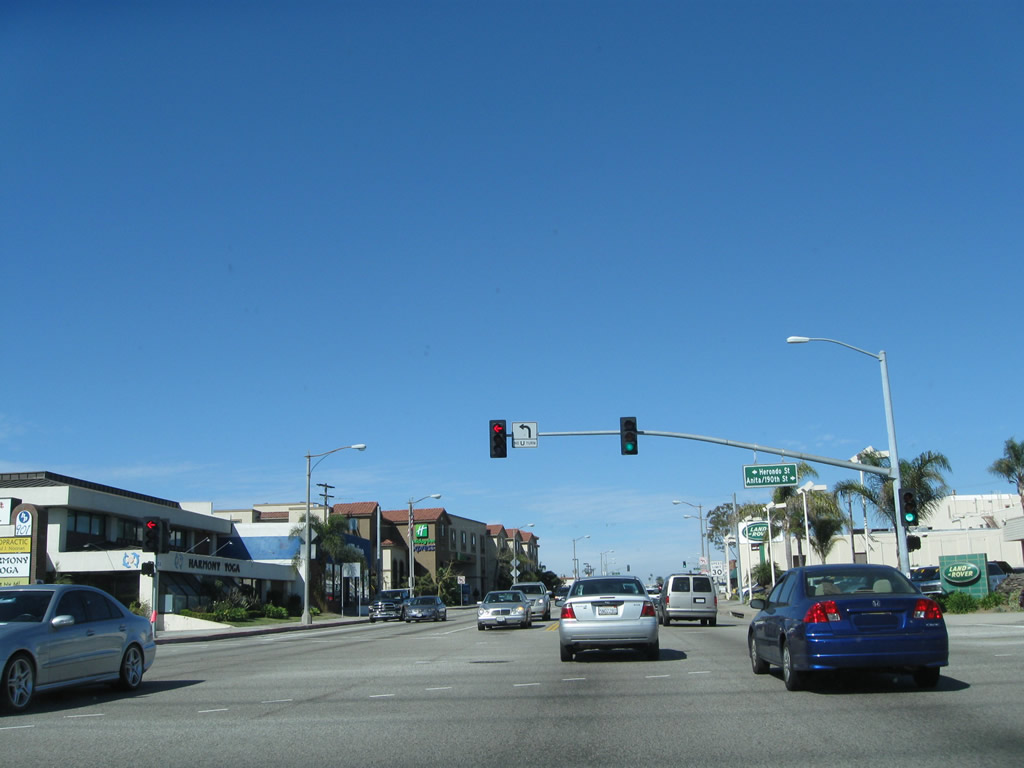
Northbound California 1 (Pacific Coast Highway) at Herondo Street west and Anita Street / 190th Street east. At this intersection, California 1 leaves Redondo Beach and enters the city of Hermosa Beach (population was 18,566 as the 2000 Census and incorporated on January 14, 1907).
02/13/11
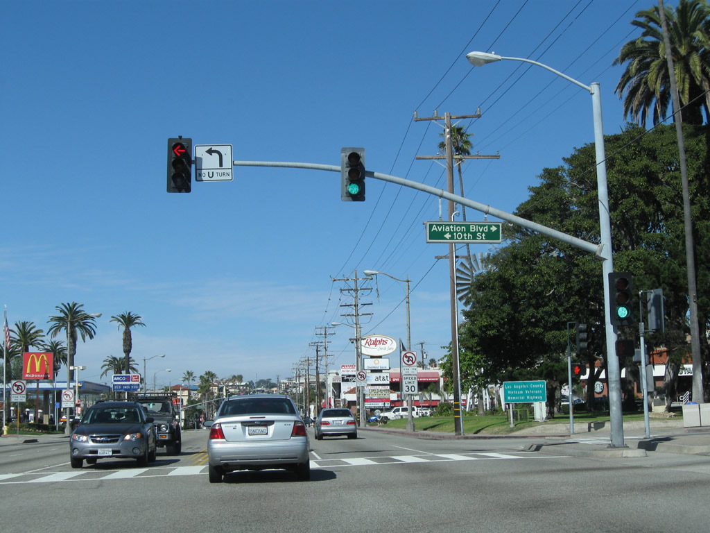
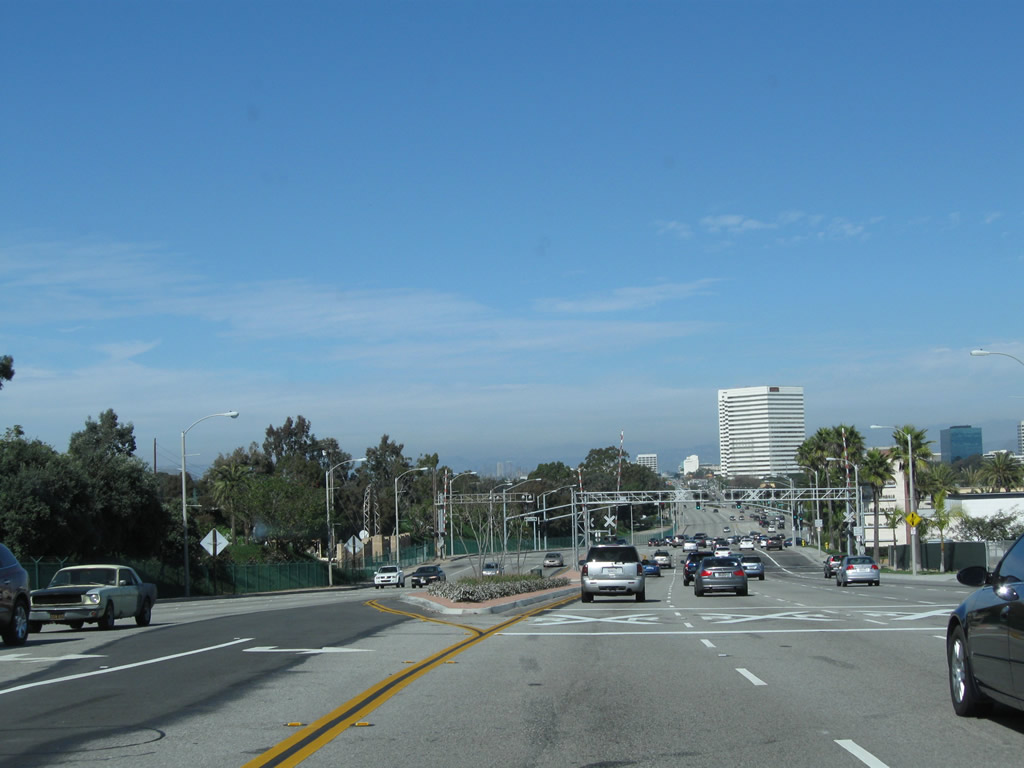
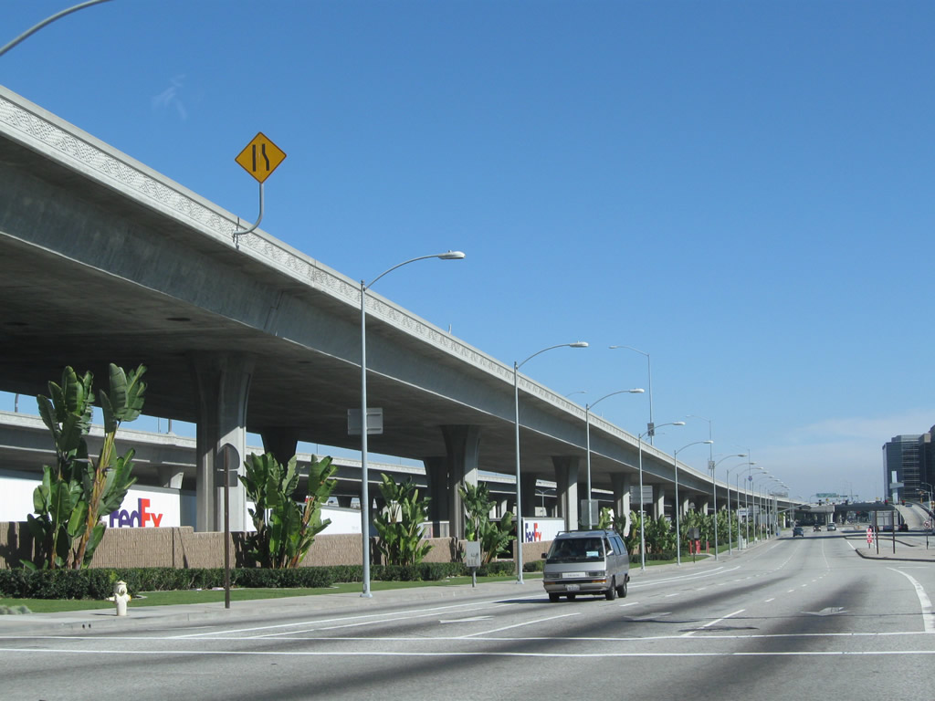
After several signalized intersections with numbered streets that begin with First Street near the southern border of Hermosa Beach, northbound California 1 (Pacific Coast Highway) eventually meets 10th Street and Aviation Boulevard. Aviation Boulevard provides an alternate route to Artesia Boulevard (former California 91) east.
02/13/11
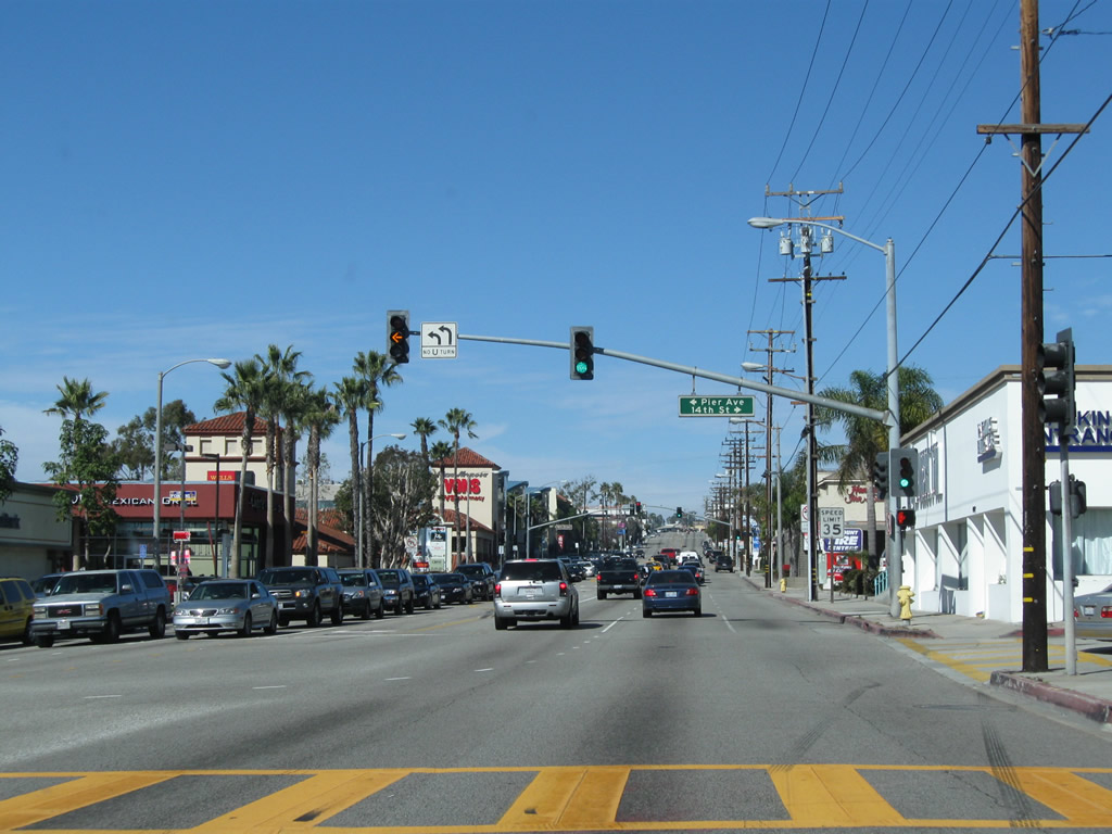
Northbound California 1 (Pacific Coast Highway) meets 14th Street east and Pier Avenue west to the municipally owned Hermosa Beach Pier.
02/13/11
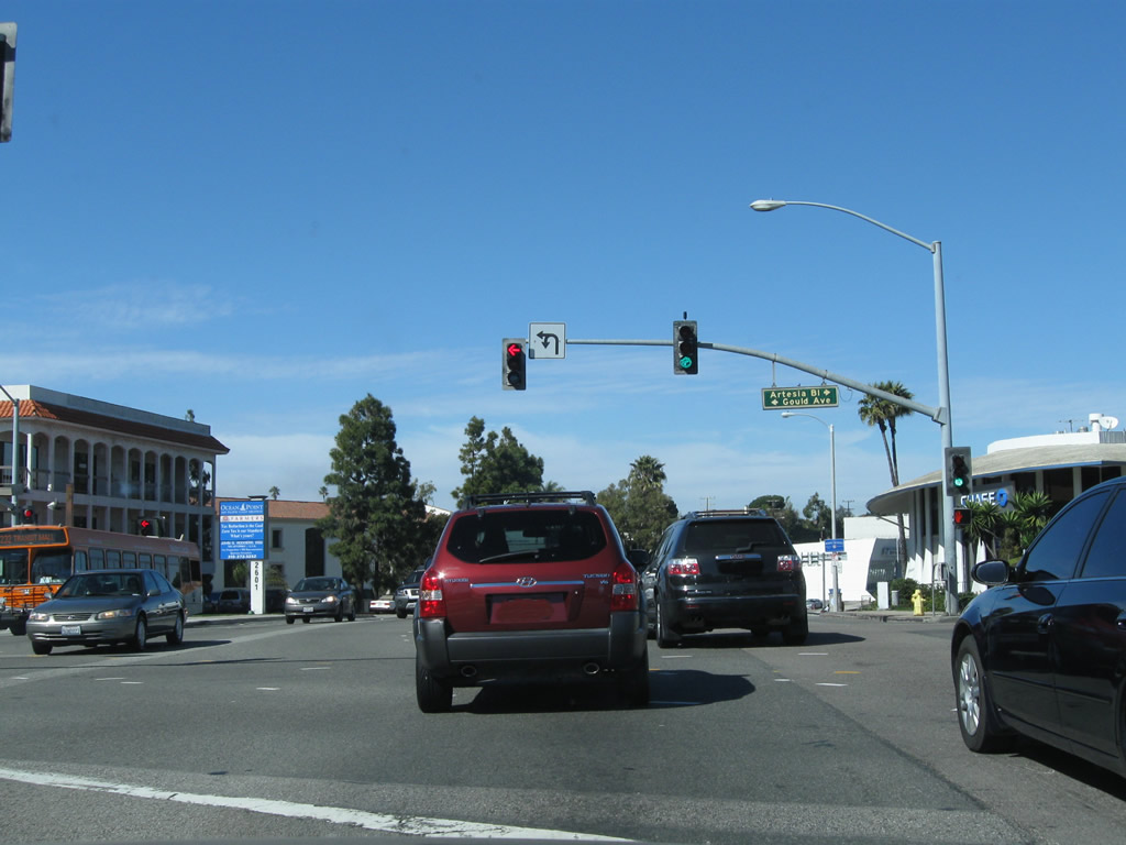
Artersia Boulevard east from SR 1 at Gould Avenue west was formerly part of State Route 91. The arterial portion of SR 91 followed Artersia Boulevard east to Interstate 110, where the Gardena Freeway begins. The freeway along SR 91 proceeds east and then northeast through Fullerton, Anaheim, the Santa Ana River Canyon, and Corona to I-215/SR 60 in Riverside.
02/13/11
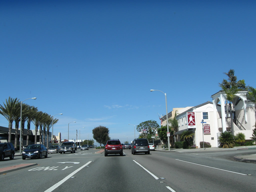
North from Artersia Boulevard to Boundary Place, SR 1 is the boundary between Hermosa Beach and Manhattan Beach. SR 1 next leaves Hermosa Beach and enters the city of Manhattan Beach (population 33,852 as of the 2000 Census and incorporated on December 12, 1912). Upon entering Manhattan Beach, SR 1 changes names from Pacific Coast Highway to Sepulveda Boulevard.
02/13/11
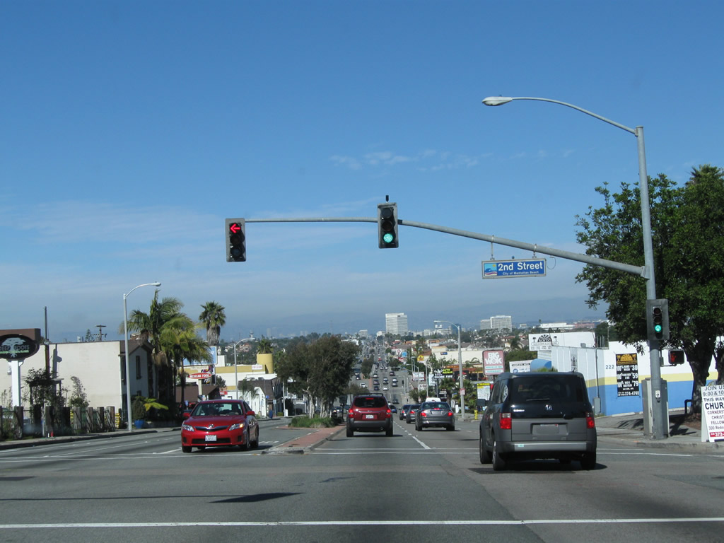
Northbound California 1 (Sepulveda Boulevard) meets Second Street with a vantage point looking north toward Manhattan Beach and El Segundo.
02/13/11
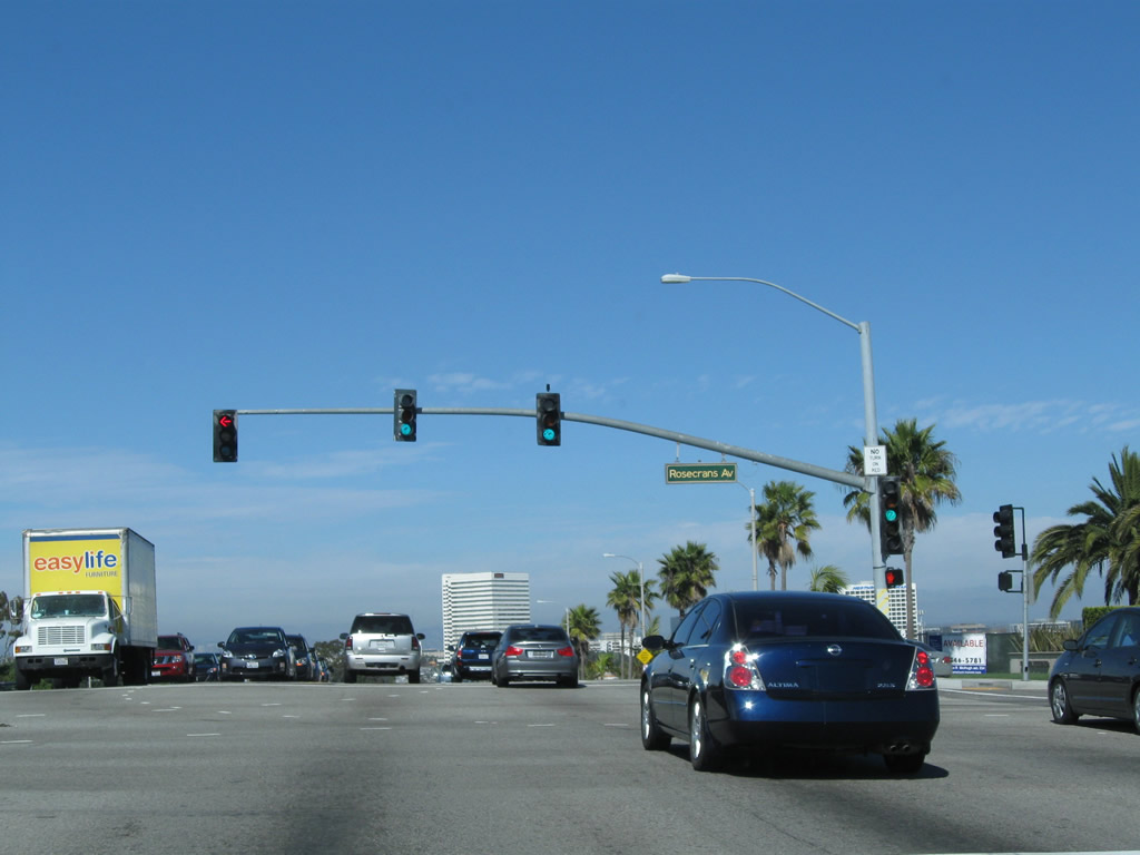
California 1 (Sepulveda Boulevard) leaves Manhattan Beach and enters the city of El Segundo (population of 16,033 at the 2000 Census and incorporated on January 18, 1917) at Rosecrans Avenue.
02/13/11
In southern El Segundo, California 1 passes by a large oil field and refinery. A Southern California Edison power transmission line passes overhead, parallel to Rosecrans Avenue.
02/13/11
The dynamics of California 1 change as a result of entering the oil refinery area. The state route widens out to allow four northbound lanes, and the closed-in development common to the beach cities south of here becomes less common in El Segundo. The railroad tracks visible ahead serve the Chevron El Segundo Oil Refinery located on the west side of California 1. The refinery was named El Segundo since it was the second of Chevron's refineries.
02/13/11
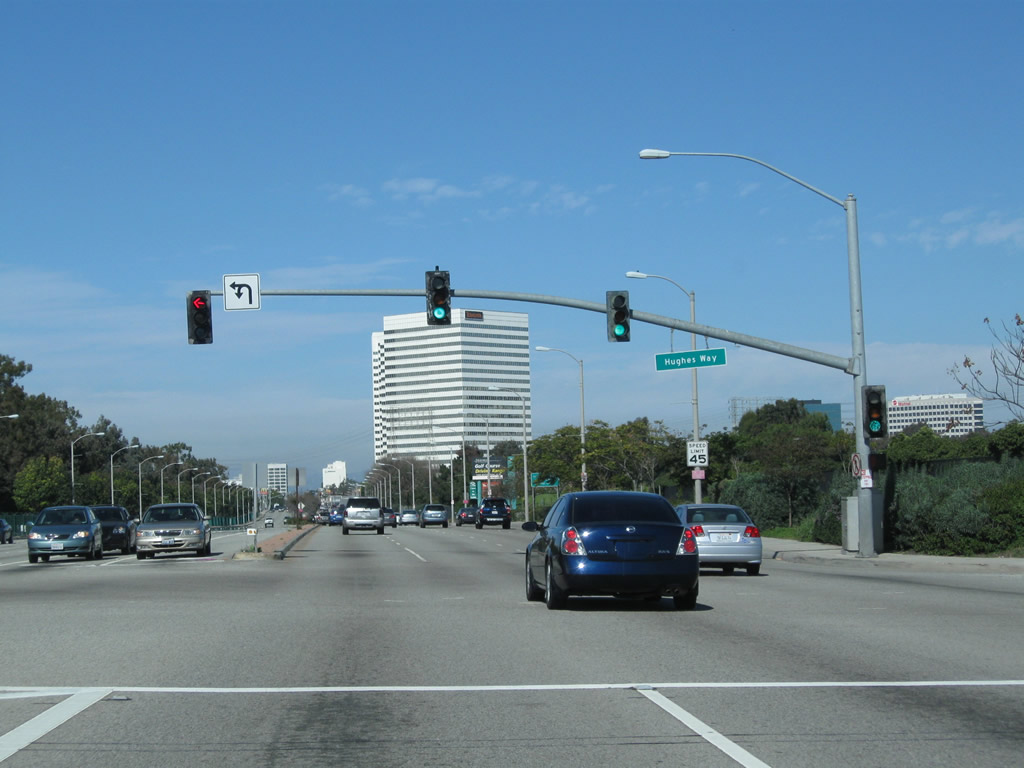
Northbound California 1 (Sepulveda Boulevard) meets Hughes Way. Several defense contractors are also located in El Segundo, making for a diverse economy.
02/13/11
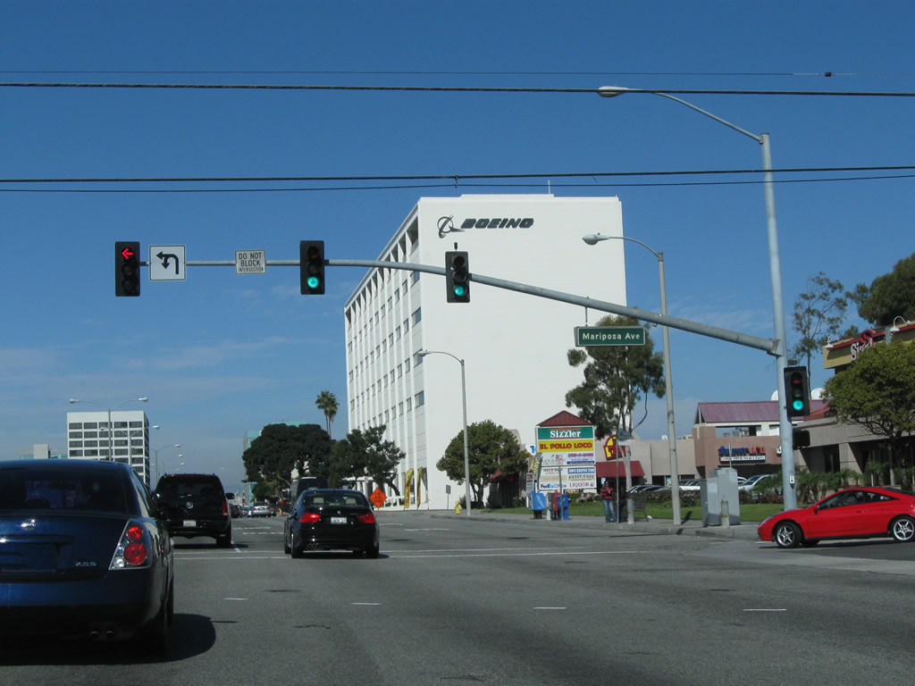
The next major intersection along California 1 (Sepulveda Boulevard) north is with El Segundo Boulevard west to to Downtown El Segundo and the civic center.
02/13/11
El Segundo Boulevard leads east from Sepulveda Boulevard to the unincorporated community of Del Aire and the city of Hawthorne.
02/13/11
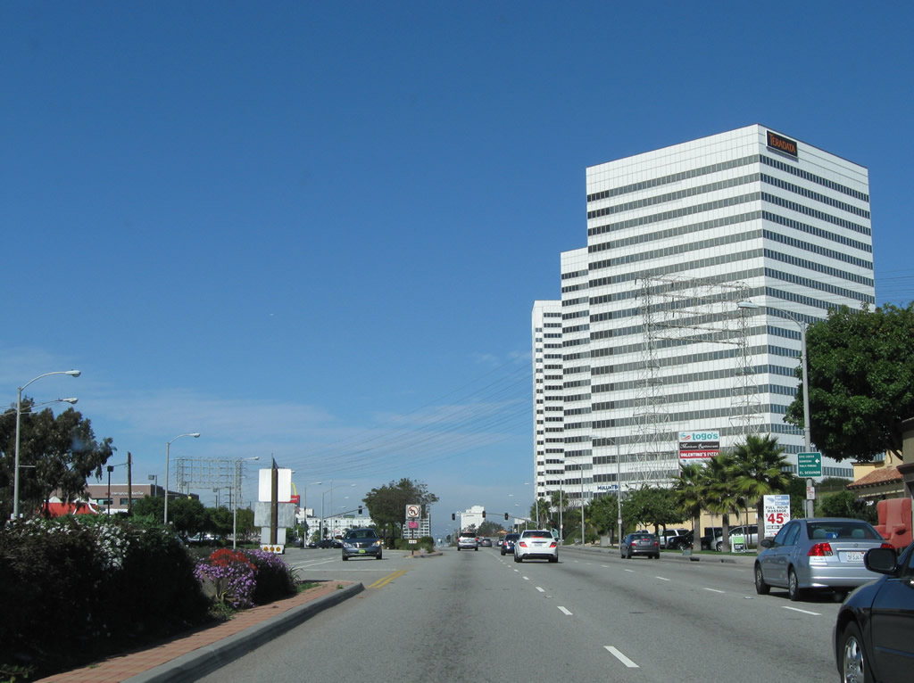
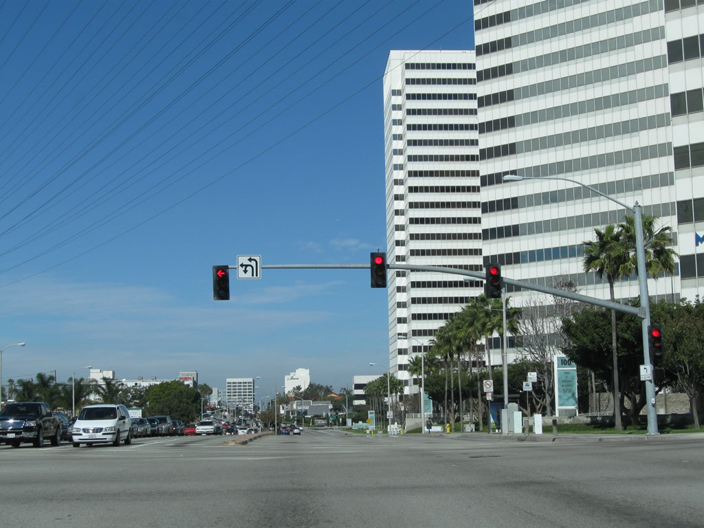
A large array of business parks, hotels and other businesses populate the area east of SR 1 off Mariposa Avenue.
02/13/11
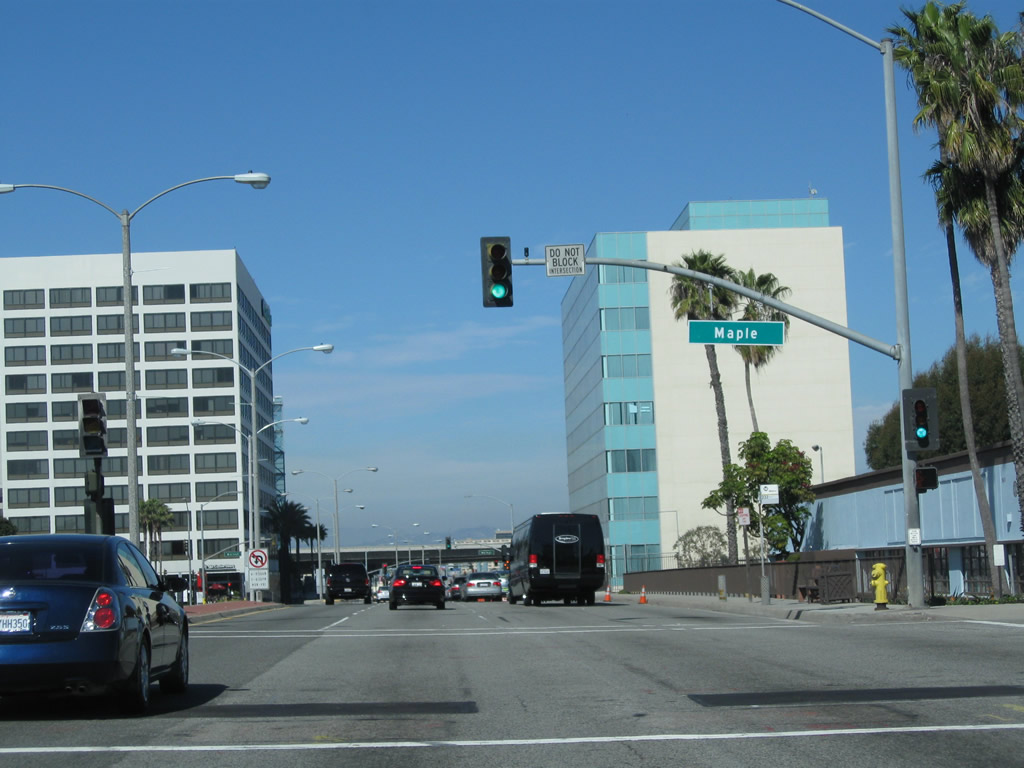
Northbound California 1 (Sepulveda Boulevard) next meets Maple Avenue.
02/13/11
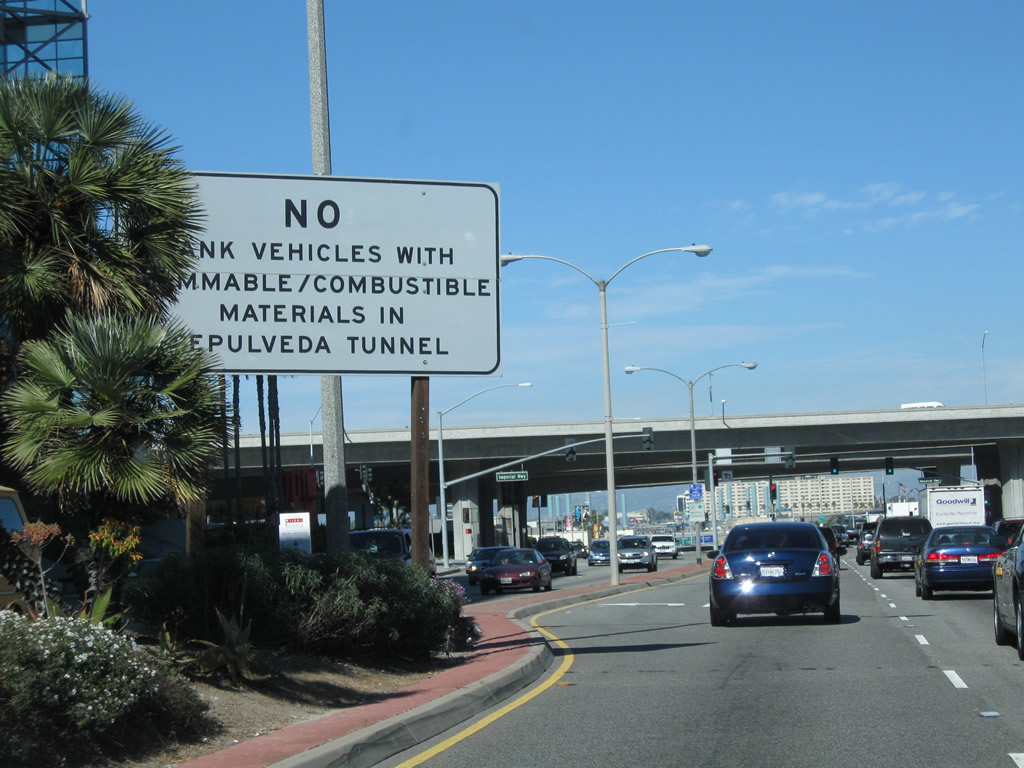
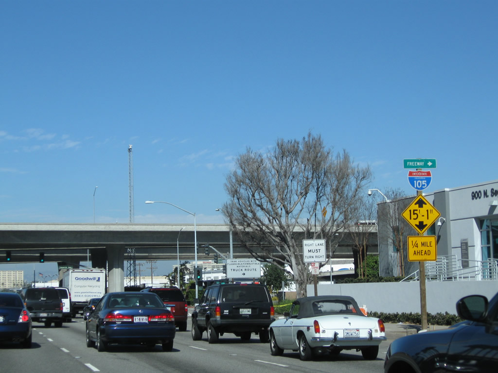
After the intersection with Walnut Avenue, a warning sign advises of the restrictions associated with Sepulveda Tunnel, which carries California 1 (Sepulveda Boulevard) under the southern east-west runway of Los Angeles International Airport (LAX). The elevated viaduct ahead carries Interstate 105 (Glenn Anderson Freeway) over California 1.
02/13/11
Imperial Highway east connects SR 1 with I-105 (Glenn Anderson Freeway) east to Norwalk. Imperial Highway west overtakes the end of I-105 en route to Vista del Mar and Dockweiler State Beach. The state beach is located just west of the international airport.
02/13/11
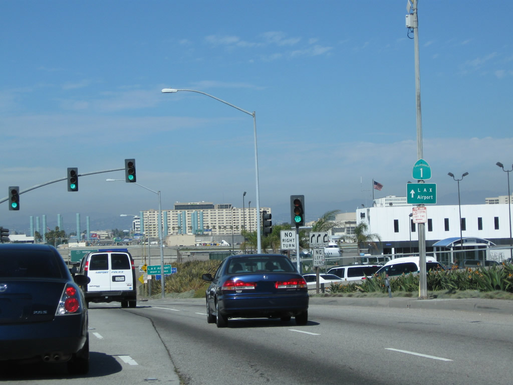
![Ramps connecting to Interstate 105 (Glenn Anderson [Century] Freeway) pass over California 1, with access to the freeway afforded via Imperial Highway. The west end of I-105 joins Imperial Highway ahead of California Street.](../../ca/001/ca-001-n-at-imperial-hwy-3.jpg)
Ramps connecting to Interstate 105 (Glenn Anderson [Century] Freeway) pass over California 1, with access to the freeway afforded via Imperial Highway. The west end of I-105 joins Imperial Highway ahead of California Street.
02/13/11
Imperial Highway and the Interstate 105 viaduct east from California 1 (Sepulveda Boulevard).
02/13/11
Upon passing under I-105, California 1 leaves El Segundo and re-enters the city of Los Angeles for the first time since briefly passing through it near the exchange with 110 interchange. One of the major routes from the freeway network to the LAX Airport, this traffic signal connects I-105 west with California 1 north.
02/13/11
Photo Credits:
- Andy Field: 02/13/11
Connect with:
Page Updated Sunday January 03, 2016.