
State Route 1 South - Orcutt to Lompoc
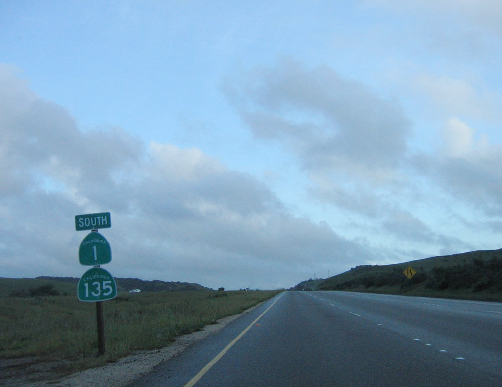
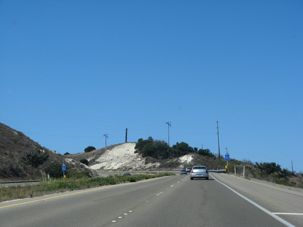
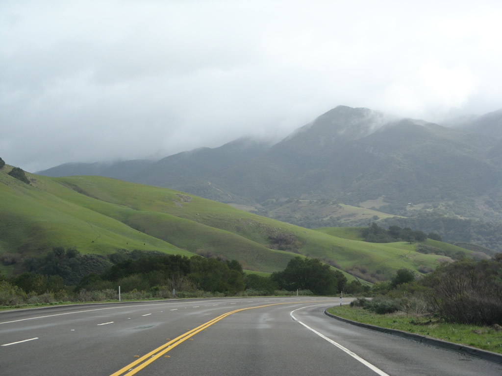
SR 1/135 overlap 3.00 miles south from Orcutt.
03/20/06
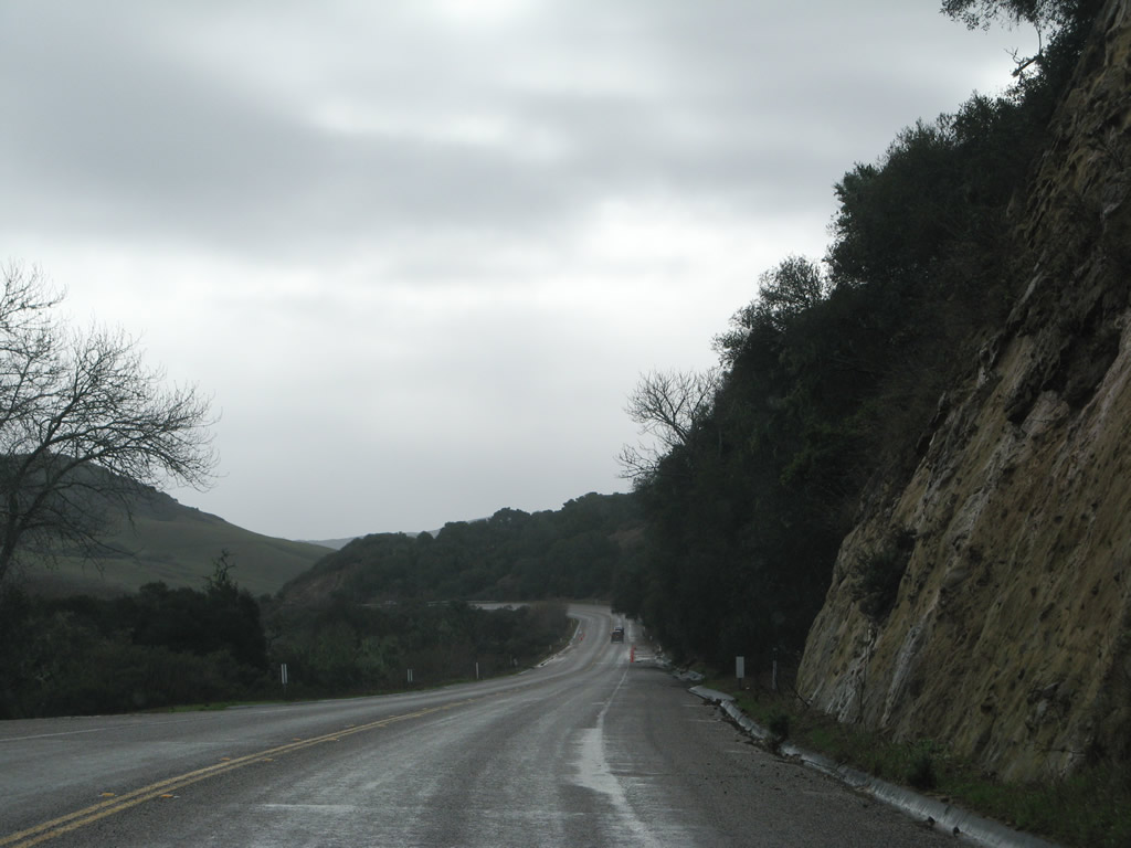
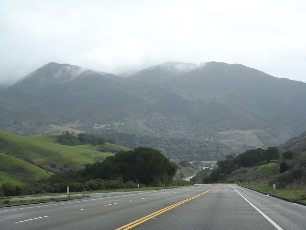
SR 1/135 constitute a freeway south through Graciosa Canyon.
03/20/06
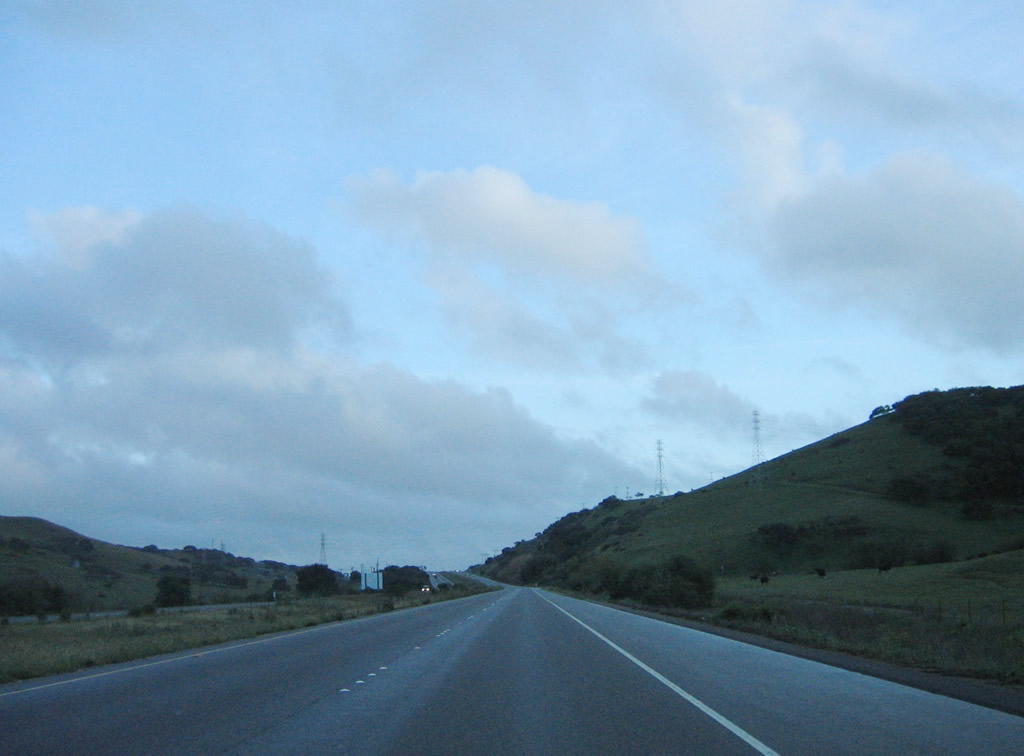
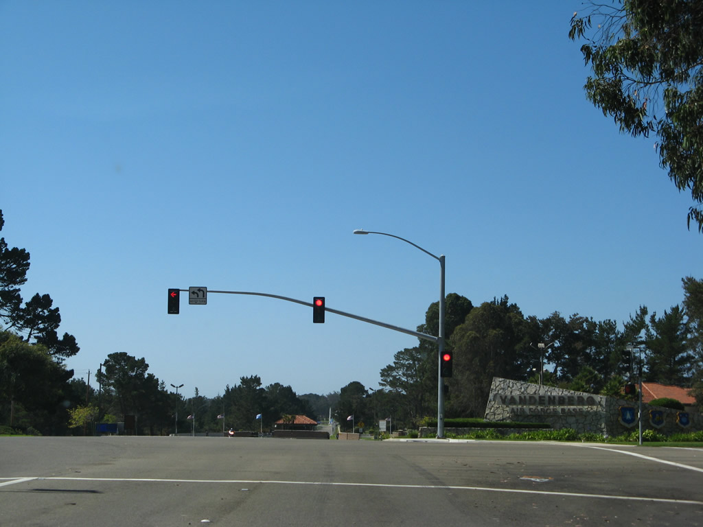
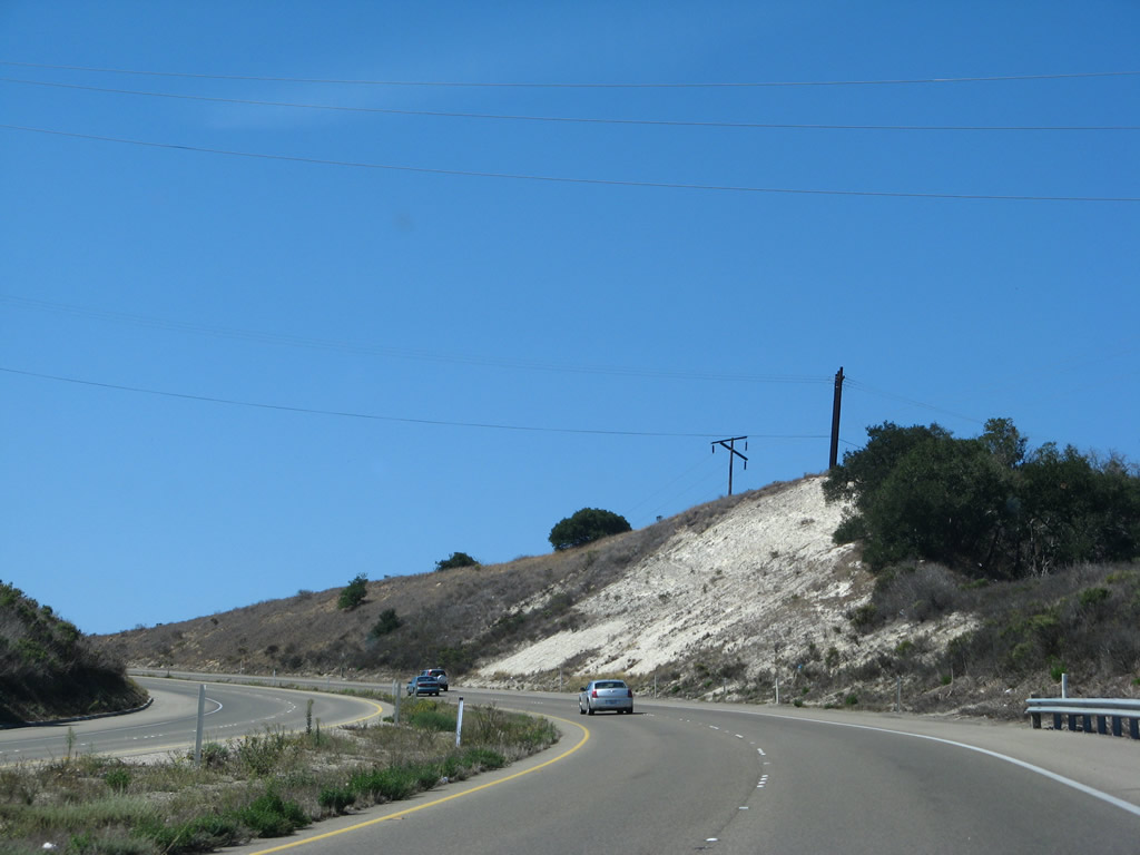
The two state routes divide at a wye interchange just north of the Vandenburg Space Force Base boundary.
03/20/06
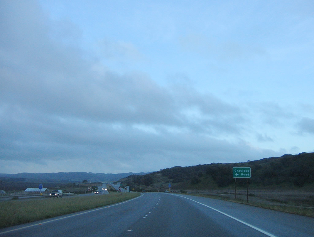
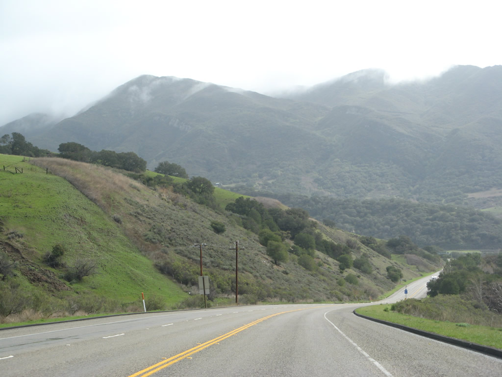
An access road links the end of the SR 1/135 freeway with Graciosa Road. Graciosa Road provides local farm and ranch access.
03/20/06
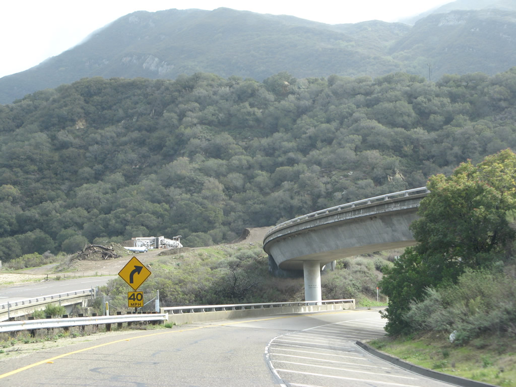
SR 135 lines Harris Canyon south from SR 1 before turning east through Los Alamos Valley to Los Alamos. SR 135 also connects with Harris Grade Road, which is old SR 1 across the Purisma Hills to Lopmoc.
03/20/06
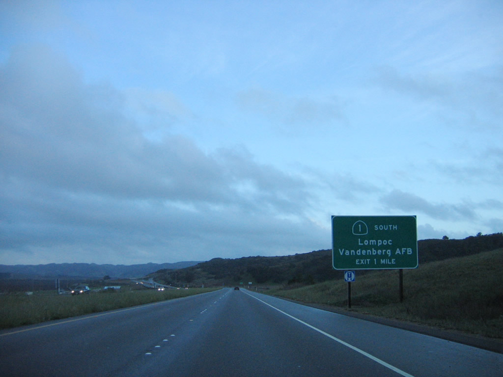
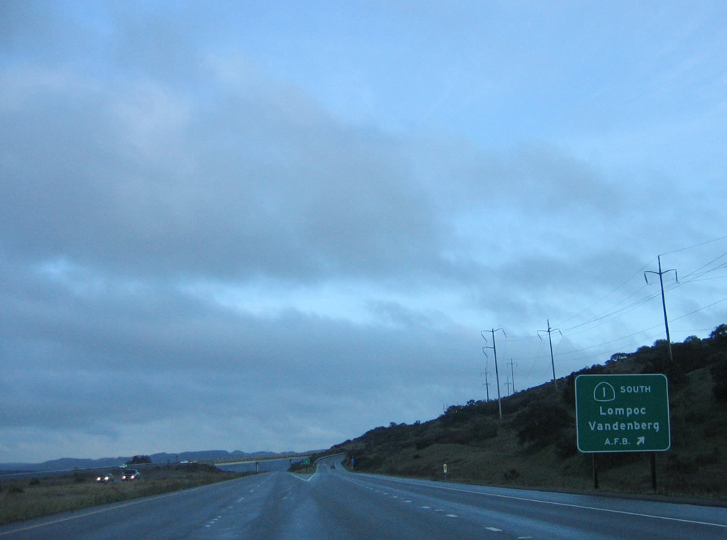
After splitting from California 135 and passing the intersection with San Antonio Road West, southbound California 1 (Cabrillo Highway) begins its ascent toward Vandenberg Space Force Base.
09/29/07
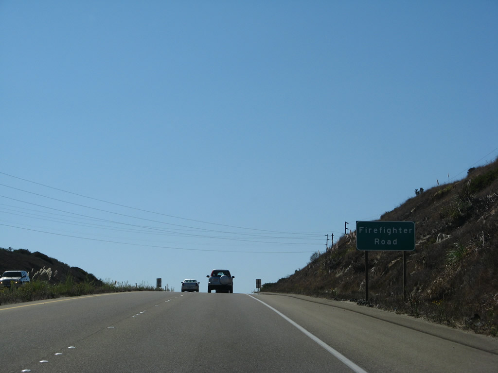
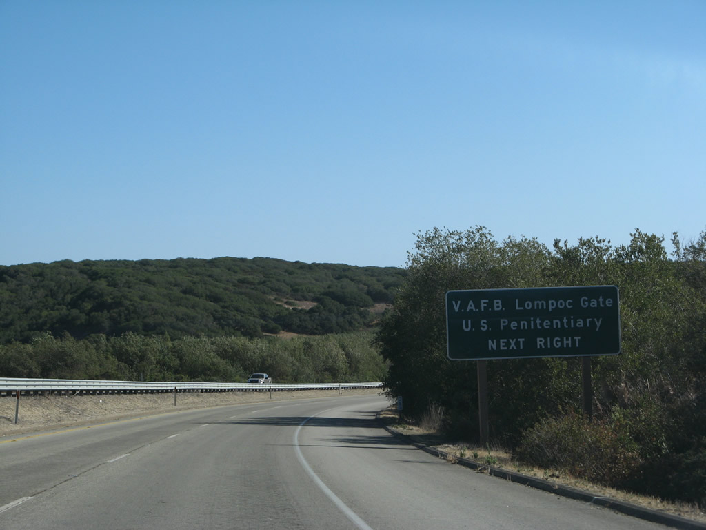
Southbound California 1 (Cabrillo Highway) approaches Firefighter Road. Turn right here to connect to the Vandenberg Space Force Base Utah Gate. Continue straight to the main gate for the base.
09/29/07
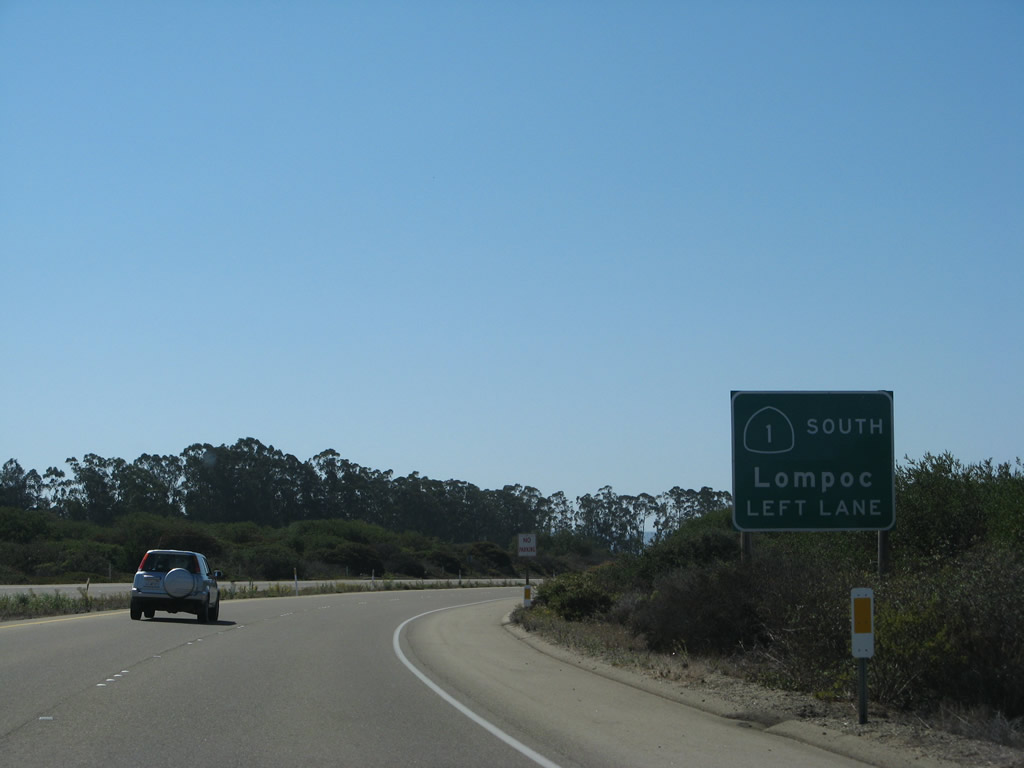
The next major intersection along California 1 (Cabrillo Highway) south is with California Boulevard and Lompoc Casmalia Road. California 1 turns south onto Lompoc Casmalia Road, while the main lanes continue into Vandenberg Space Force Base as California Boulevard.
09/29/07
A traffic signal governs the intersection with Lompoc Casmalia Road.
09/29/07
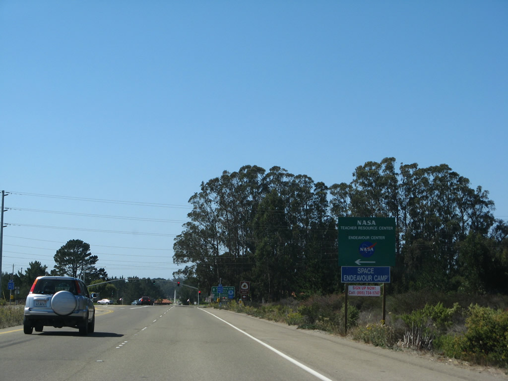
A NASA educational site is available by turning left.
09/29/07
Southbound California 1 (Cabrillo Highway) approaches California Boulevard and Lompoc Casmalia Road. California 1 turns south onto Lompoc Casmalia Road, while the main lanes will continue straight into Vandenberg Space Force Base.
09/29/07
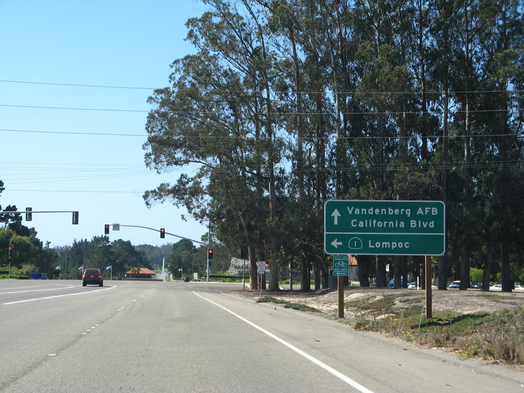
Southbound California 1 (Cabrillo Highway) meets California Boulevard and Lompoc Casmalia Road. The left lane continues along California 1 (Lompoc Casmalia Road) south, the middle lanes continue straight into Vandenberg Space Force Base, and the right lane turns onto Lompoc Casmalia Road north.
09/29/07
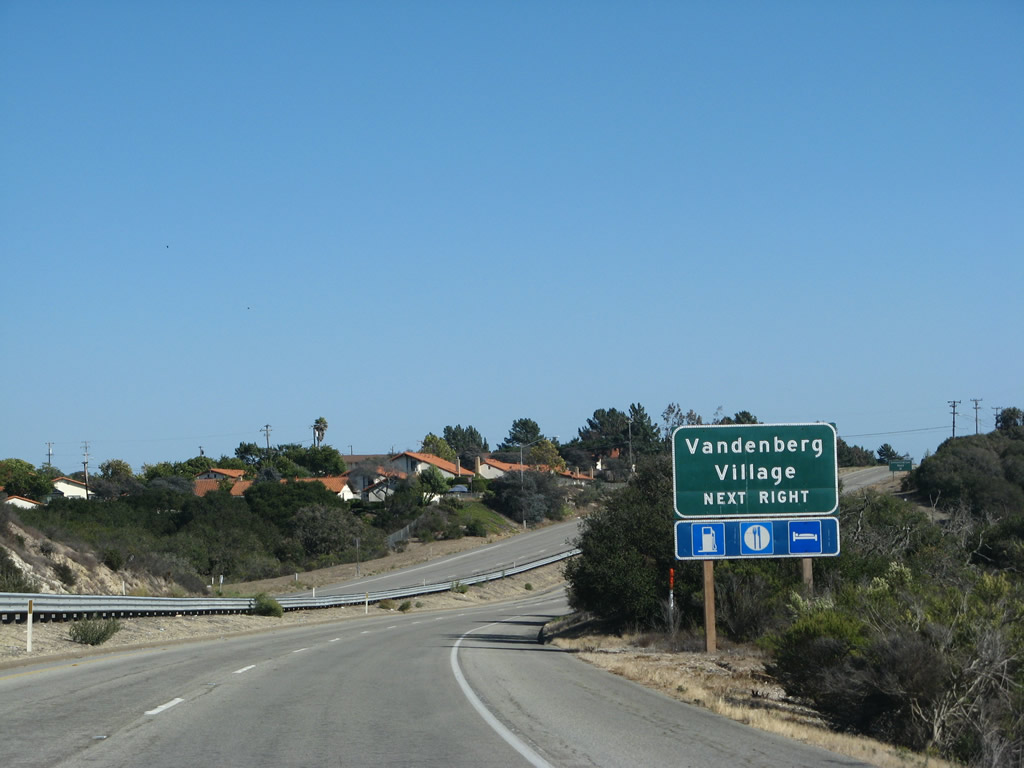
California Boulevard travels west into Vandenberg Space Force Base, while California 1 (Lompoc Casmalia Road) travels south toward Vandenberg Village and Lompoc.
09/29/07
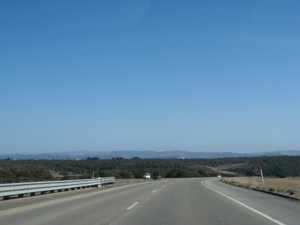
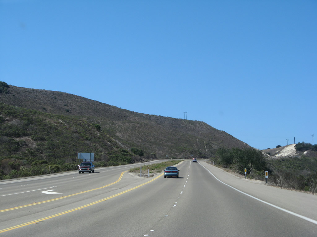
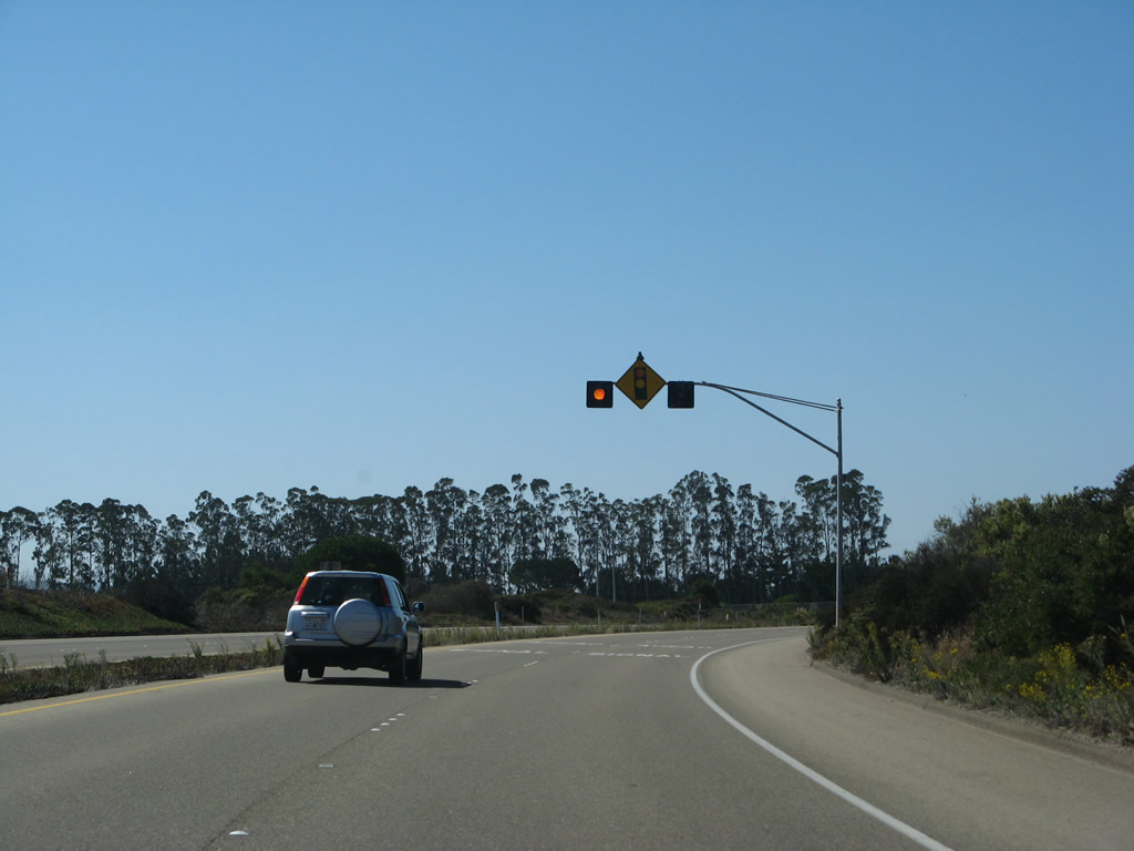
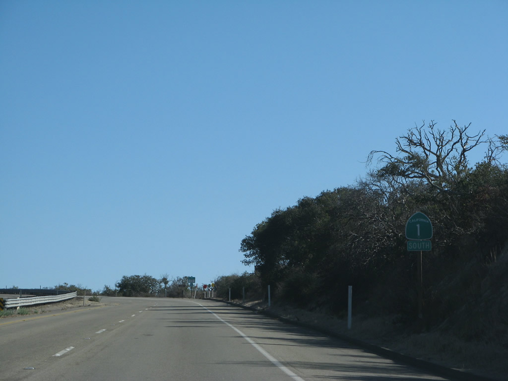
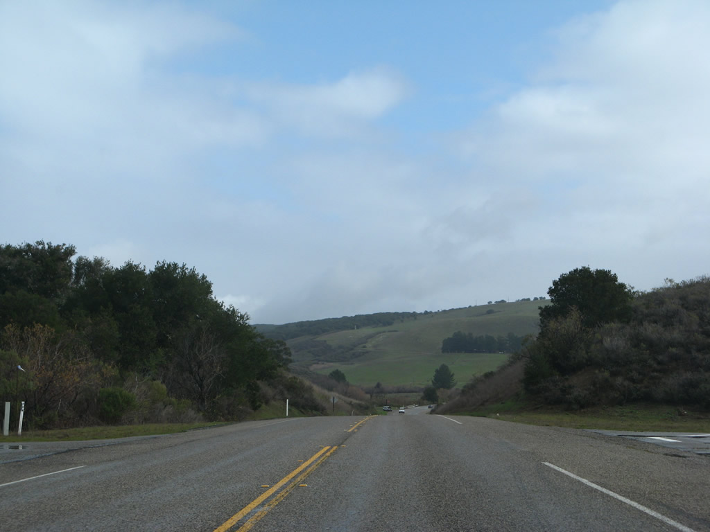
Leaving behind the main gate of Vandenberg, California 1 continues south as an expressway.
09/29/07
Coastal scrub and rolling hills dominate the view of unspoiled areas within the Space Force Base.
09/29/07
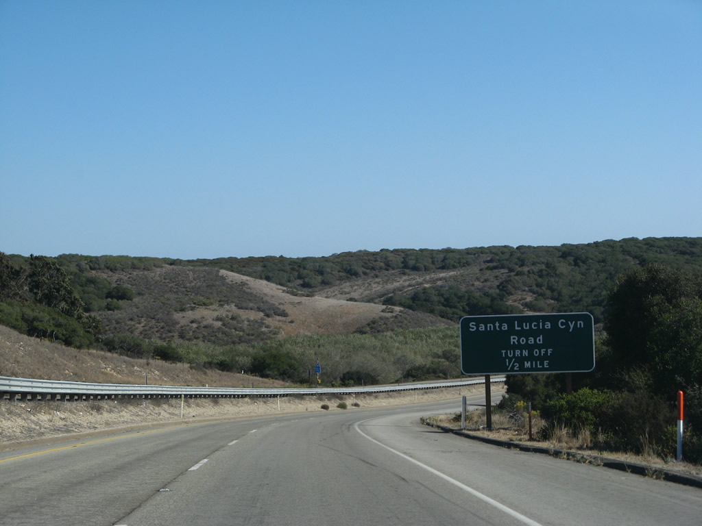
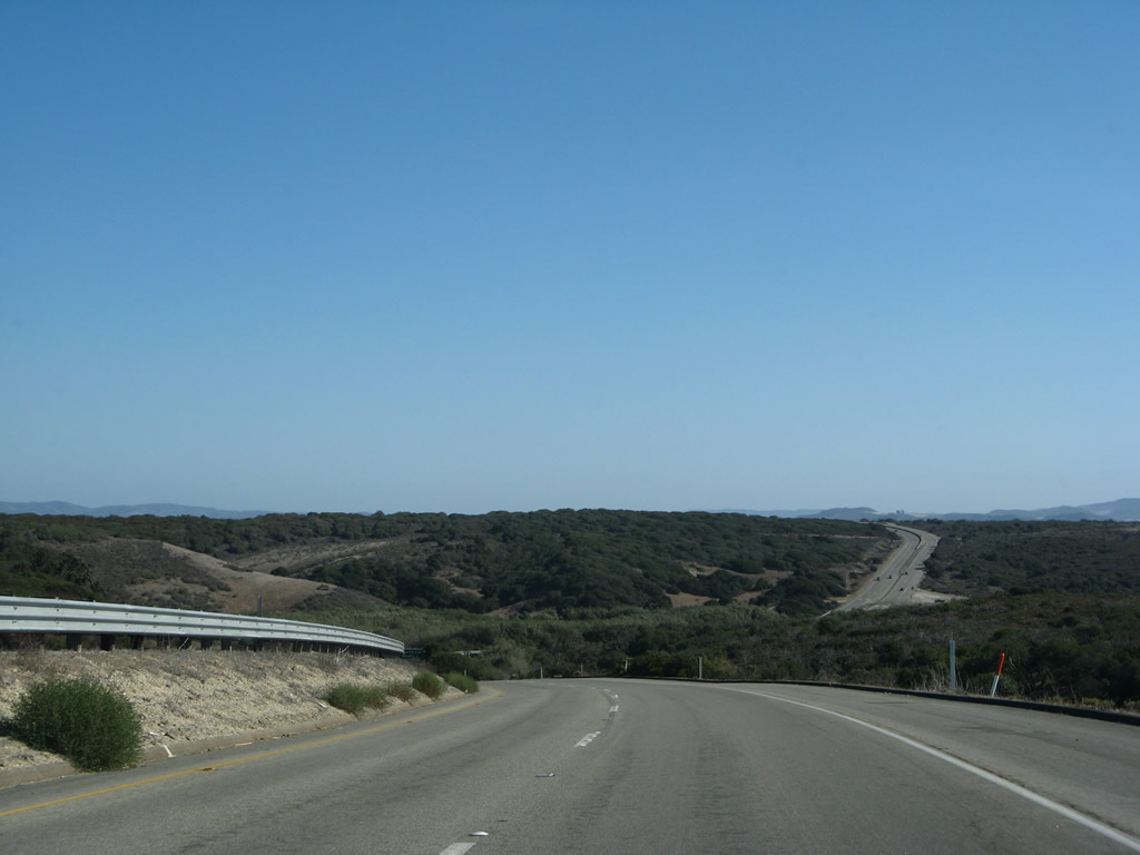
Southbound California 1 (Lompoc Casmalia Road) approaches Santa Lucia Canyon Road to western Lompoc.
09/29/07
An auxiliary sign advises that Santa Lucia Canyon Road travels south to the U.S. Penitentiary and Lompoc gate to Vandenberg Space Force Base.
09/29/07

Southbound California 1 (Lompoc Casmalia Road) meets Santa Lucia Canyon Road at this off-ramp. Watch for turning traffic at this intersection.
09/29/07
A California 1 south reassurance shield is posted after the Santa Lucia Canyon Road intersection.
09/29/07
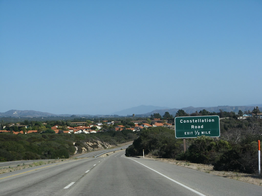
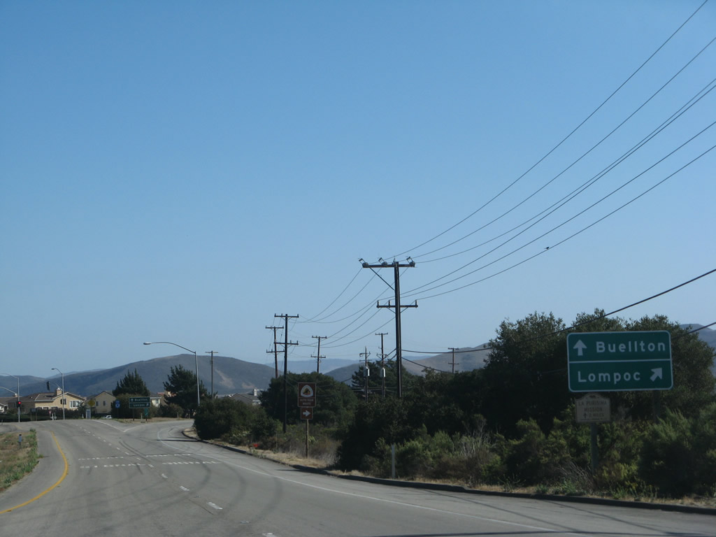
Leaving the Space Force base, southbound California 1 (Lompoc Casmalia Road) becomes a freeway briefly. The only exit on this segment of freeway is Exit 211, Constellation Road to Vandenberg Village.
09/29/07
All motorist services are available at Exit 211, Constellation Road to Vandenberg Village.
09/29/07
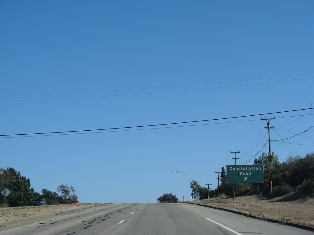
Southbound California 1 (Lompoc Casmalia Road) meets Exit 211, Constellation Road to Vandenberg Village at the top of this hill.
09/29/07
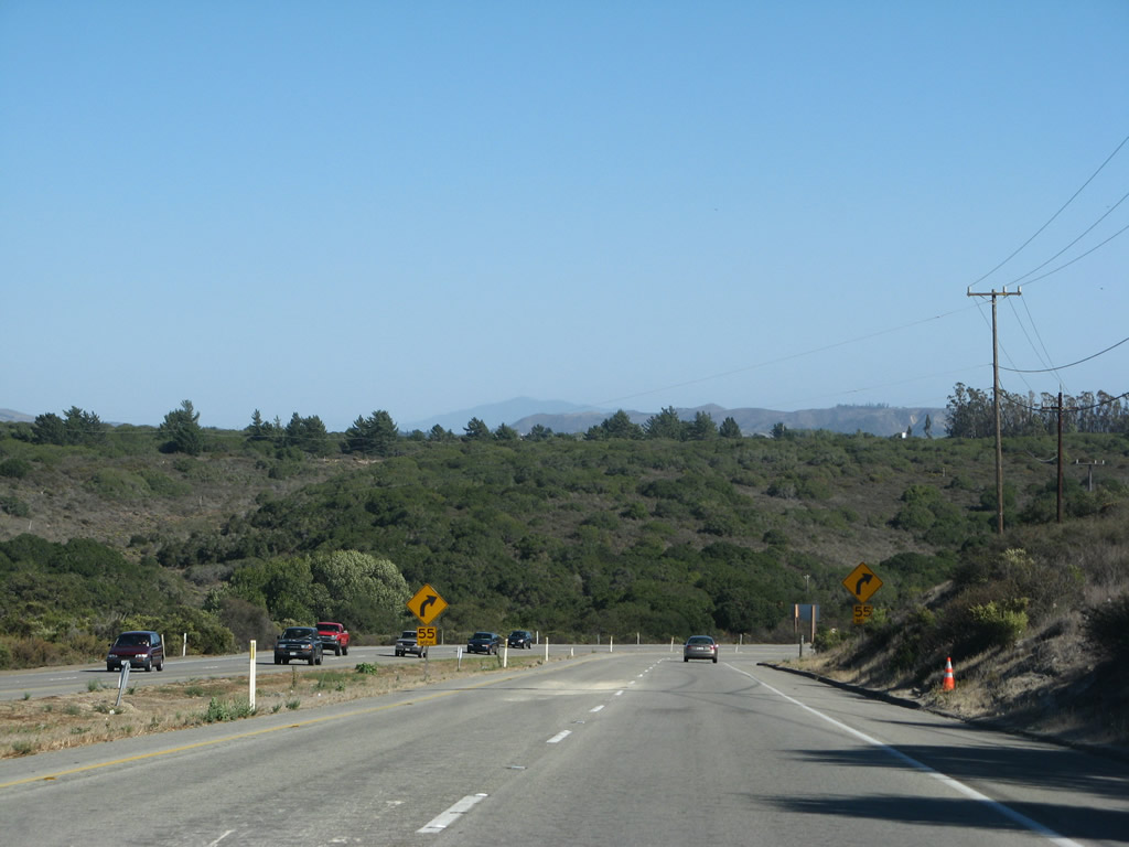
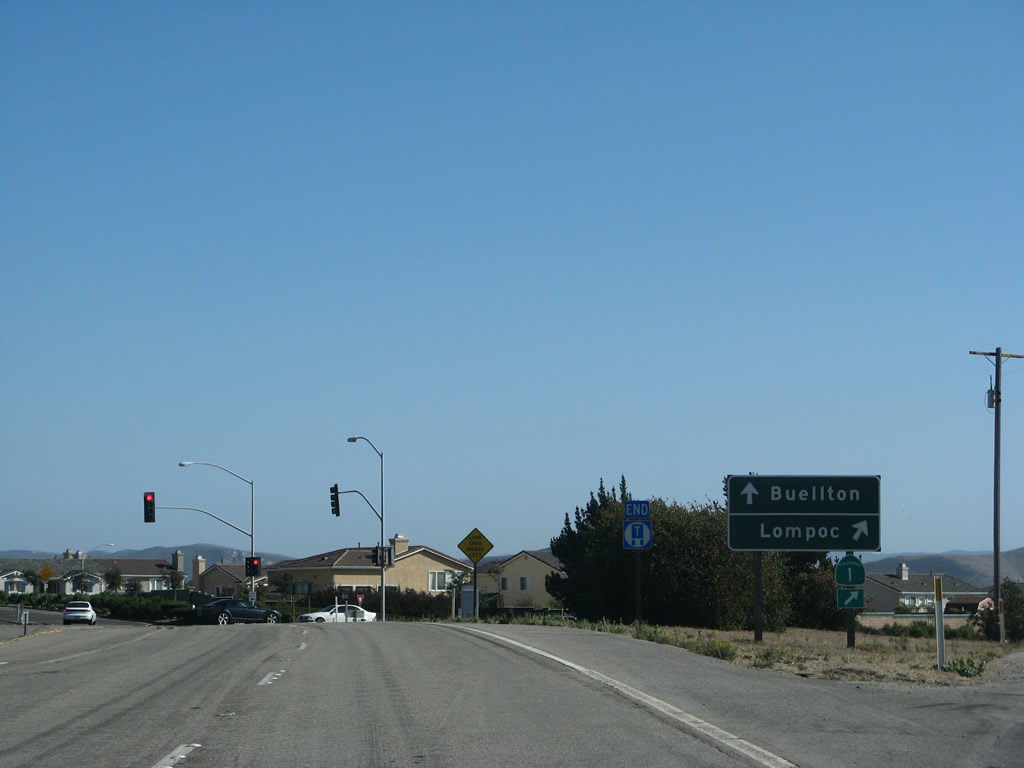
After Exit 211 (Constellation Road to Vandenberg Village), southbound California 1 descends into the Santa Ynez River valley.
09/29/07
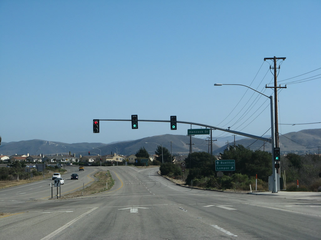
Around the intersection with Hancock Drive west to Allan Hancock College, California 1 enters the city of enters the city of Lompoc ("The City of Arts and Flowers"), with a population of 41,103 as of the 2000 Census. The city was settled in the mission era in 1787 and was incorporated in 1888. The city gained significant population through the late 1950s and 1960s with the development of Vandenberg Air Force Base, which brought military jobs to the region. The name of the city of "Lompoc" is derived from a Chumash (Native American) word "Lum Poc" that means "little lake" or "lagoon."
09/29/07
After Hancock Drive, Lompoc Casmalia Road splits. To follow California 1 (H Street) south into downtown Lompoc, stay right. To California 246 east to Buellton and Solvang, use La Purisima Road east. La Purisima Road travels east to La Purisima Mission State Historic Park and merges into California 246 east of there.
09/29/07
Lompoc Casmalia Road ends as the right lanes connect to California 1 (H Street) south into downtown Lompoc and the left lanes connect to La Purisima Road east to California 246 en route to Buellton and Solvang.
09/29/07
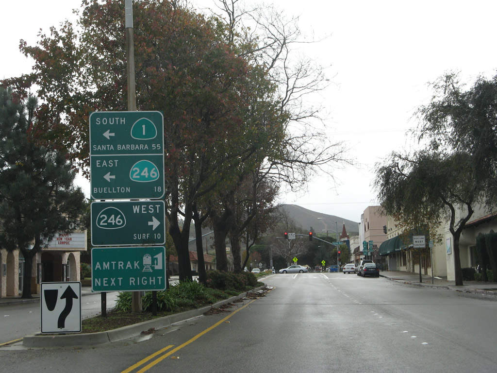
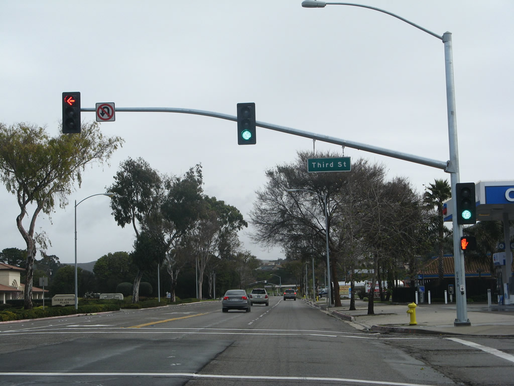
After crossing the Santa Ynez River and traveling south through downtown Lompoc, California 1 approaches California 246 (Ocean Avenue) after the intersection with Walnut Avenue. This sign provides the mileage to Surf via California 246 west and Buellton via California 246 east. California 1 turns left along with California 246 for a brief overlap through southern Lompoc.
02/02/08
Meeting California 246 at this traffic signal, turn right to follow California 246 west to the site of Surf and turn left to follow California 1 south and California 246 east to Buellton and Santa Barbara.
02/02/08
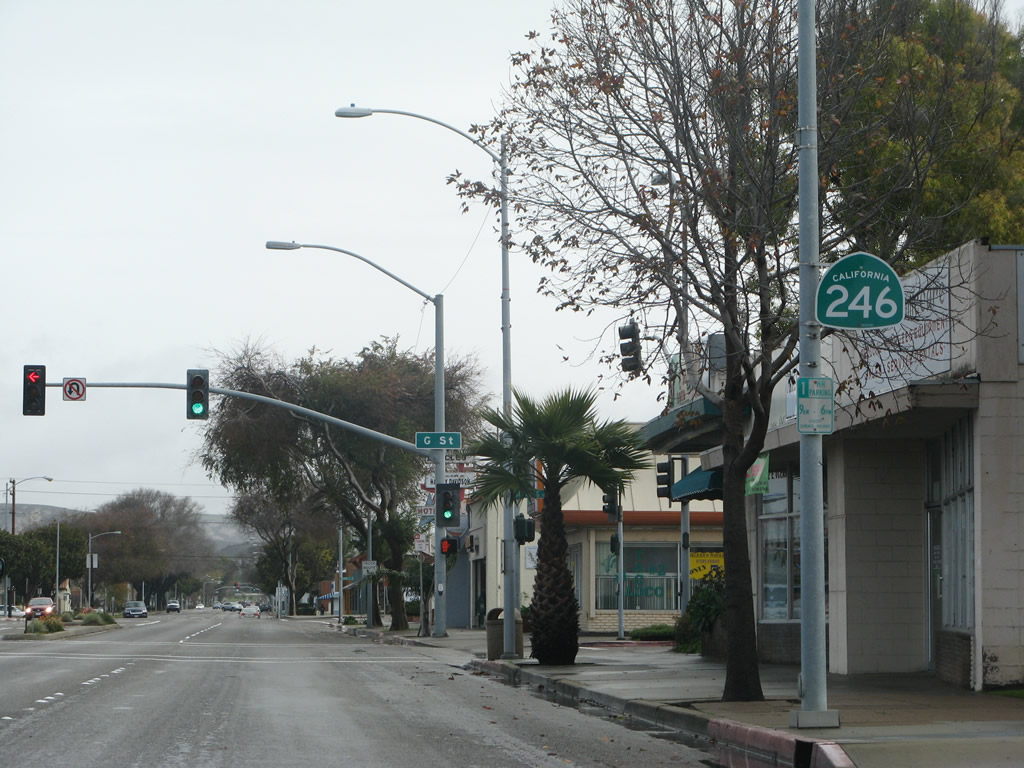
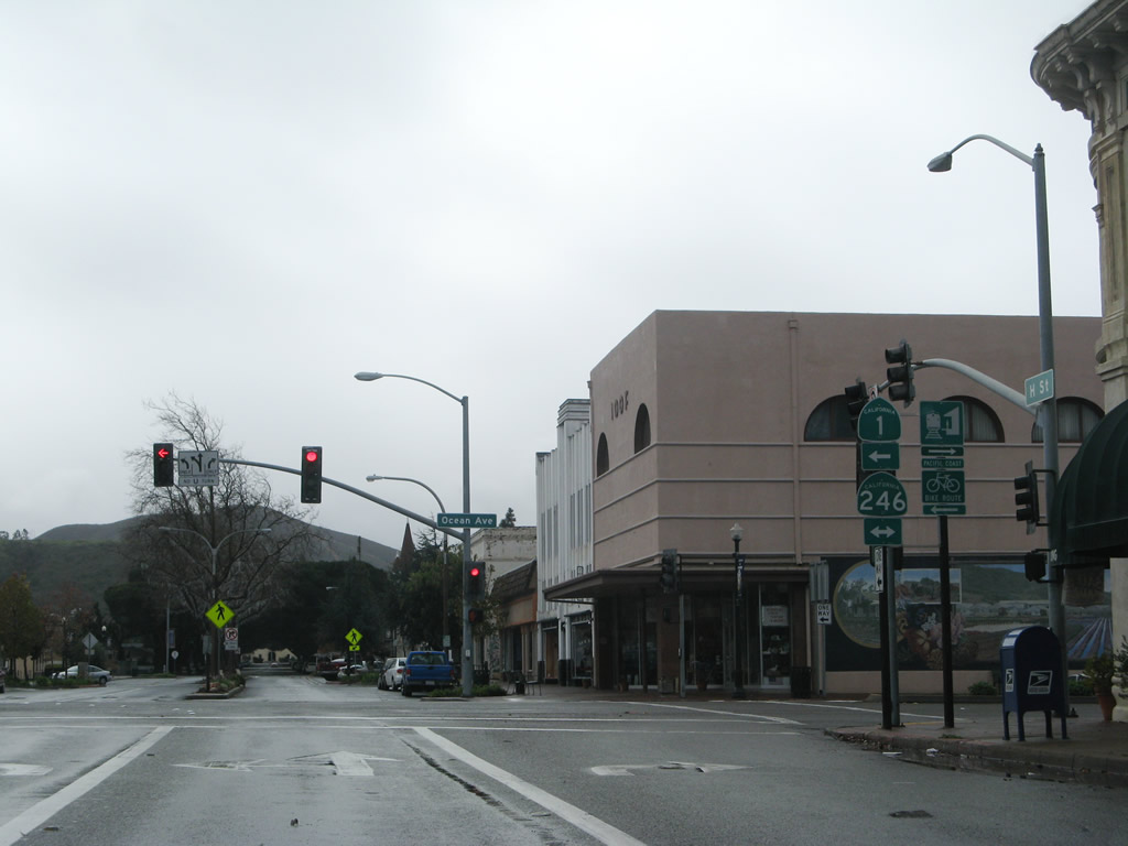
SR 1 is omitted from reassurance markers posted along the overlap with SR 246 on Ocean Avenue. This assembly appears after the two routes combine at H Street.
02/02/08
SR 1/246 (Ocean Avenu) east at Third Street in Lompoc.
02/02/08
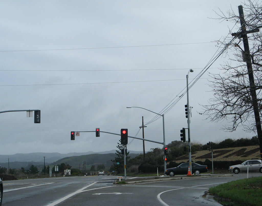
SR 1 separates from SR 246 southeast toward Gaviota and Santa Barbara. SR 246 heads northeat from Lompoc before turning east to Buellton and Solvang.
02/02/08
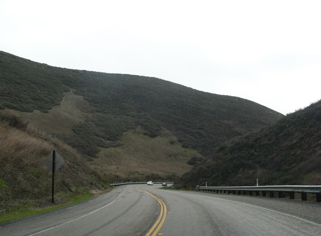
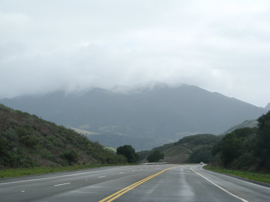
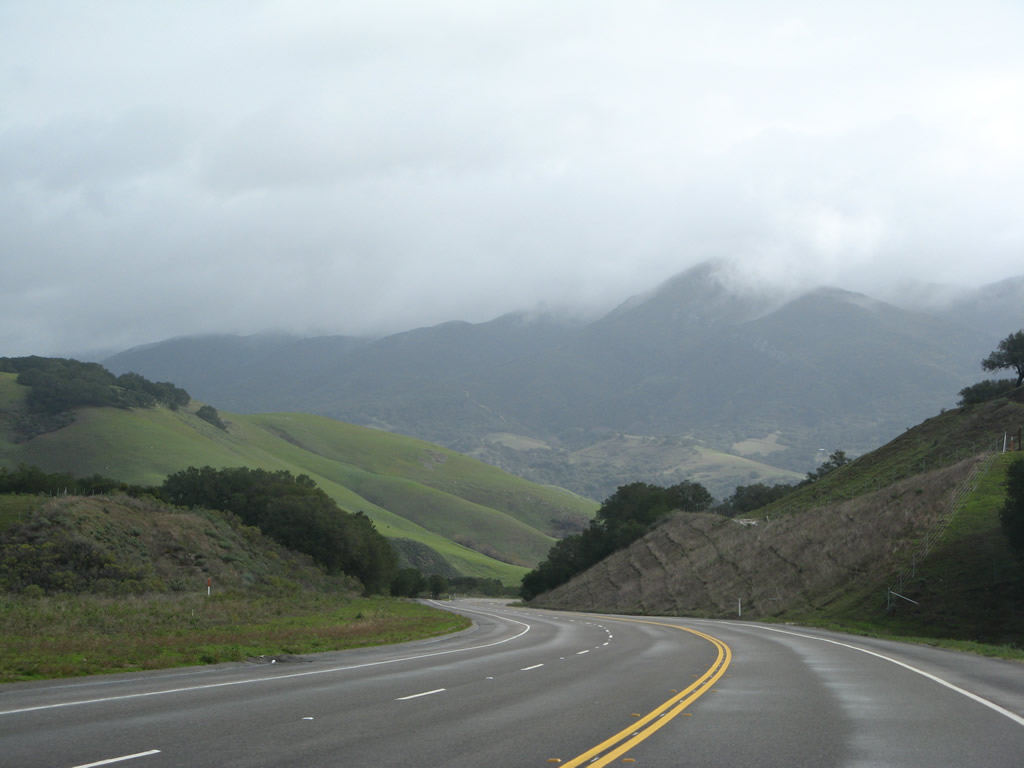
Leaving Lompoc, California 1 travels southeast to rendezvous with U.S. 101 at Las Cruces. The highway passes through beautiful valleys and passes between the Santa Rosa Hills and Santa Ynez Mountains.
02/02/08
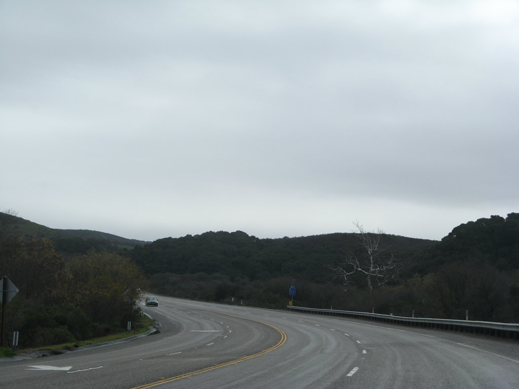
Passing lanes are available along this section of busy California 1. The state route initially follows Salispuedes Creek south until the Jalama Road turnoff.
02/02/08
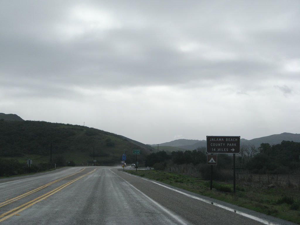
Turn right on Jalama Road west to Jalama Beach County Park.
02/02/08
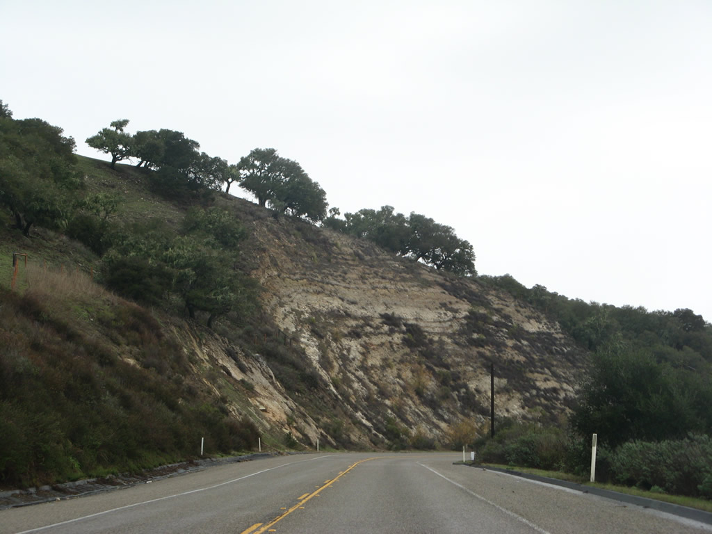
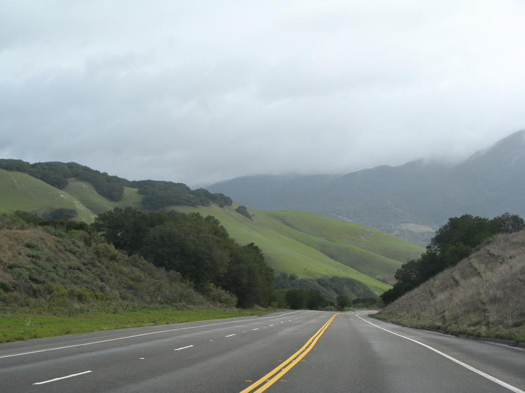
Beautiful foothill scenery abounds on California 1 as the highway continues southeast, now following El Jaro Creek.
02/02/08
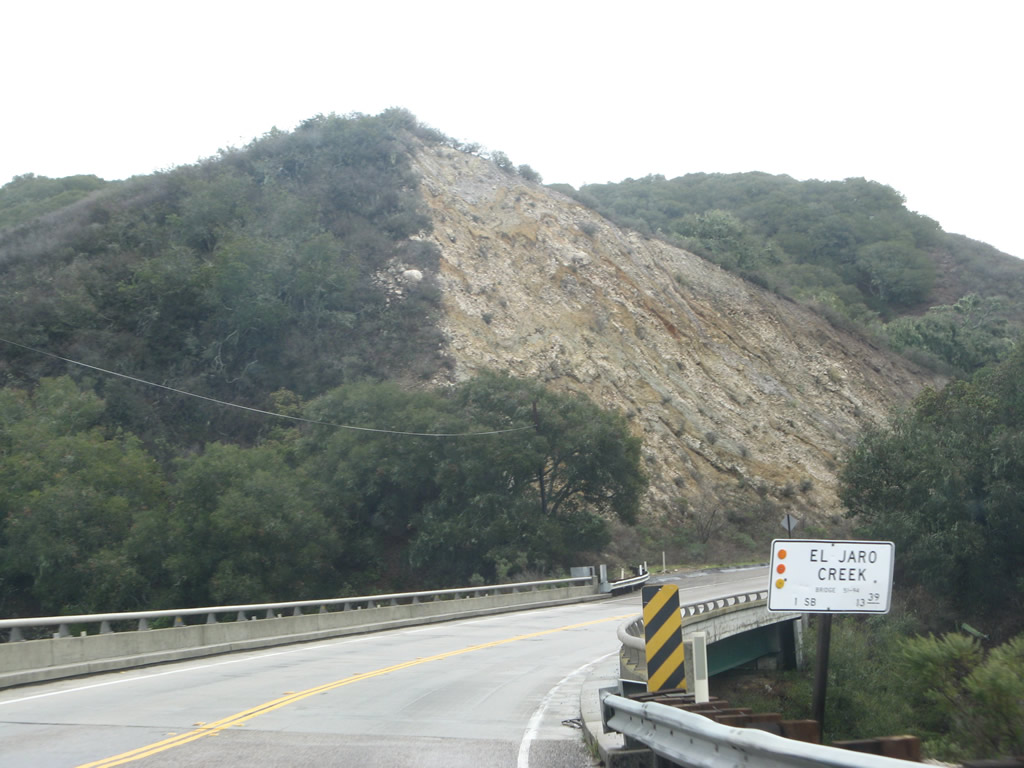
California 1 crosses El Jaro Creek on this bridge.
02/02/08
Rock and mud slides can be a problem along these steep cliffs that follow California 1 along El Jaro Creek.
02/02/08
The skies began to clear out as the weather dried up.
02/02/08
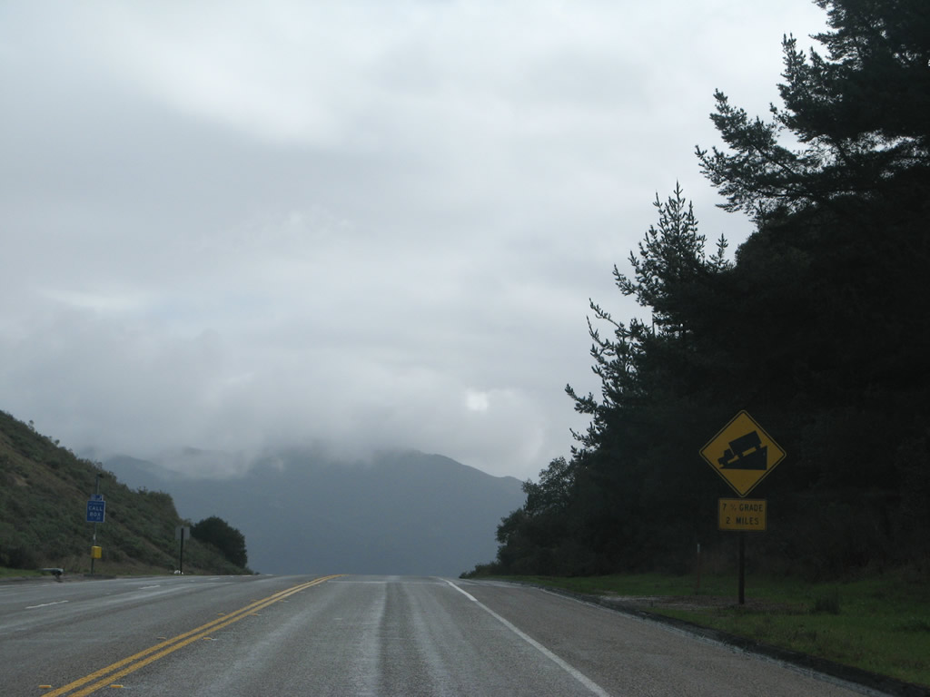
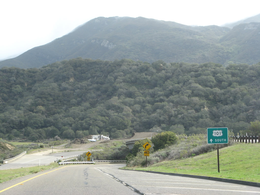
Reaching an elevation of 1,107 feet, California 1 begins its final descent toward U.S. 101 at Las Cruces.
02/02/08
Only one lane is allocated for southbound traffic on this seven percent grade, while northbound traffic has a climbing lane.
02/02/08
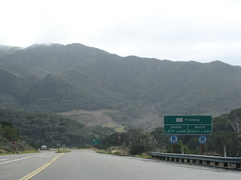
Nearing the bottom of the hill, southbound California 1 approaches U.S. 101. Use U.S. 101 north to Santa Maria and San Francisco and south to Santa Barbara, Ventura, and Los Angeles.
02/02/08
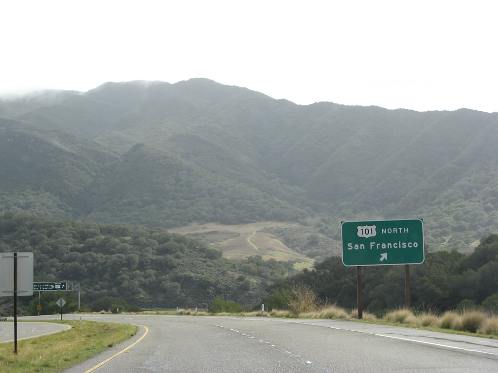
The first ramp from southbound California 1 connects to U.S. 101 north to Santa Maria and San Francisco. Continue sraight ahead for the connection to U.S. 101 and California 1 south to Santa Barbara, Ventura, and Los Angeles.
02/02/08
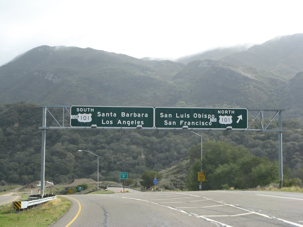
Southbound California 1 approaches U.S. 101 near Las Cruces as it descends from the mountains between Lompoc and Gaviota. At this point, California 1 is traveling due east toward its rendezvous with U.S. 101. There is a hot spring located at this U.S. 101 & California 1 interchange at Las Cruces, but it has not yet been field tested. As to the overhead signs, these are very old, 1960s-era signs, but the "to" overlay was likely added at some point thereafter.
02/02/08
On the transition from southbound California 1 (Cabrillo Highway) onto southbound U.S. 101 (El Camino), the transition ramp crosses under the ramp from southbound California 1 to northbound U.S. 101.
02/02/08
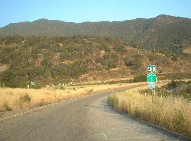
An erroneous end shield for SR 1 previously stood along the ramp to U.S. 101 southbound. SR 1 overlaps with U.S. 101 along the freeway from here until Ventura, with an exception between Exits 78 and 72 at Seacliff.
06/01/02
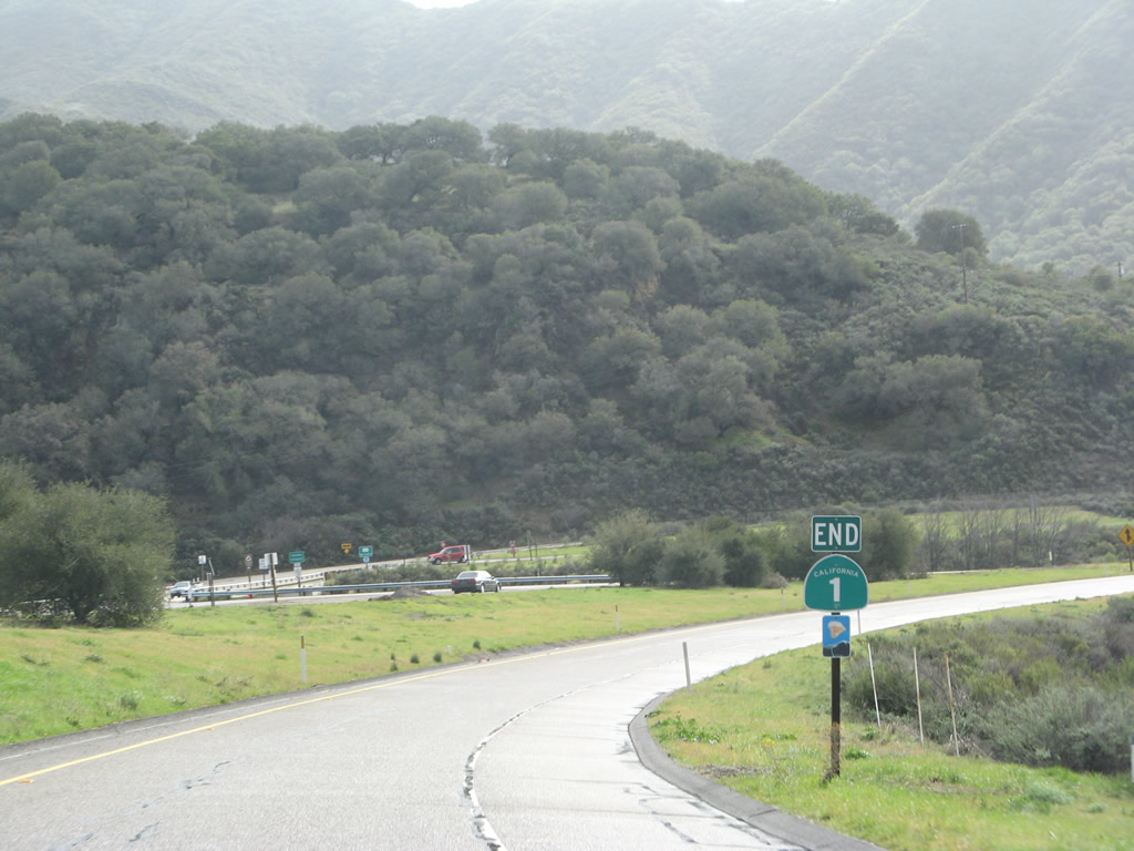
The end shield for SR 1 south at U.S. 101 was replaced by 2008 and then subsequently removed by 2017.
02/02/08
Photo Credits:
- Andy Field: 06/01/02, 03/20/06, 09/29/07, 02/02/08
Connect with:
Page Updated Monday June 29, 2009.