
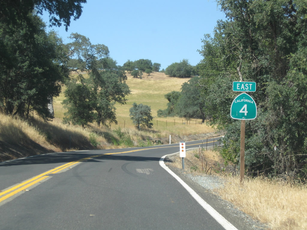
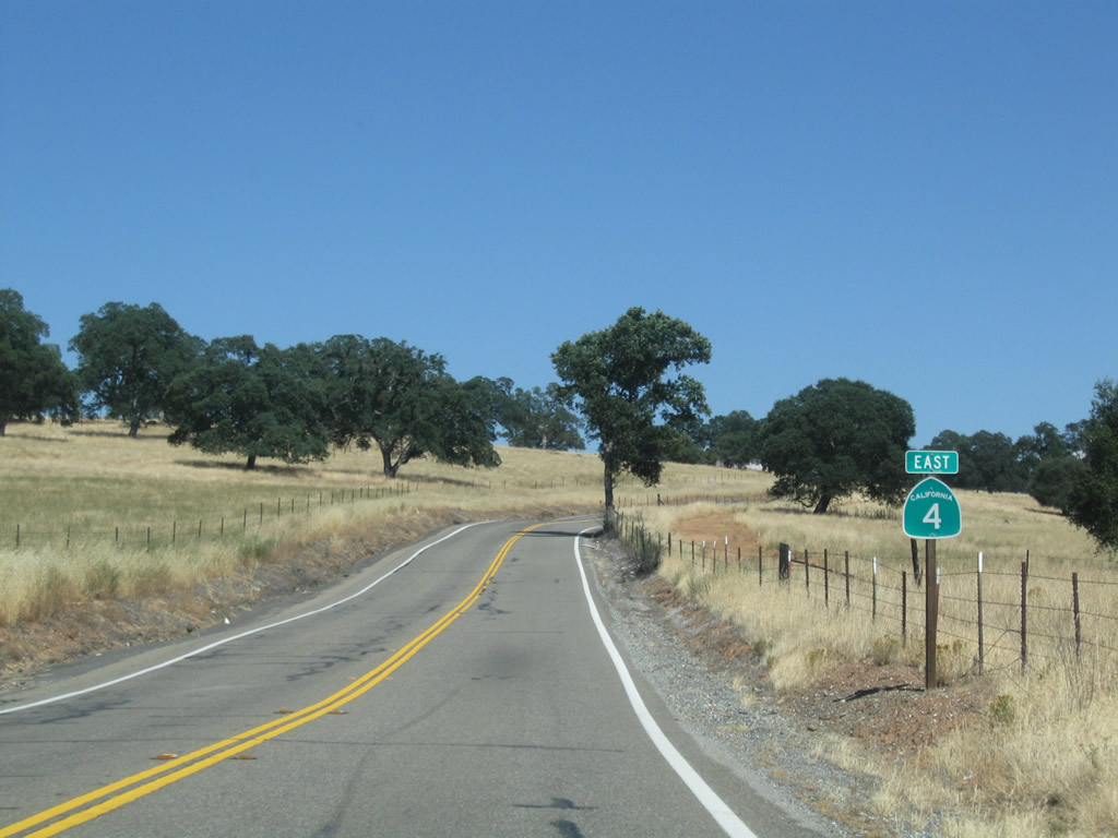
State Route 4 East - San Joaquin County to Angels Camp
 East
East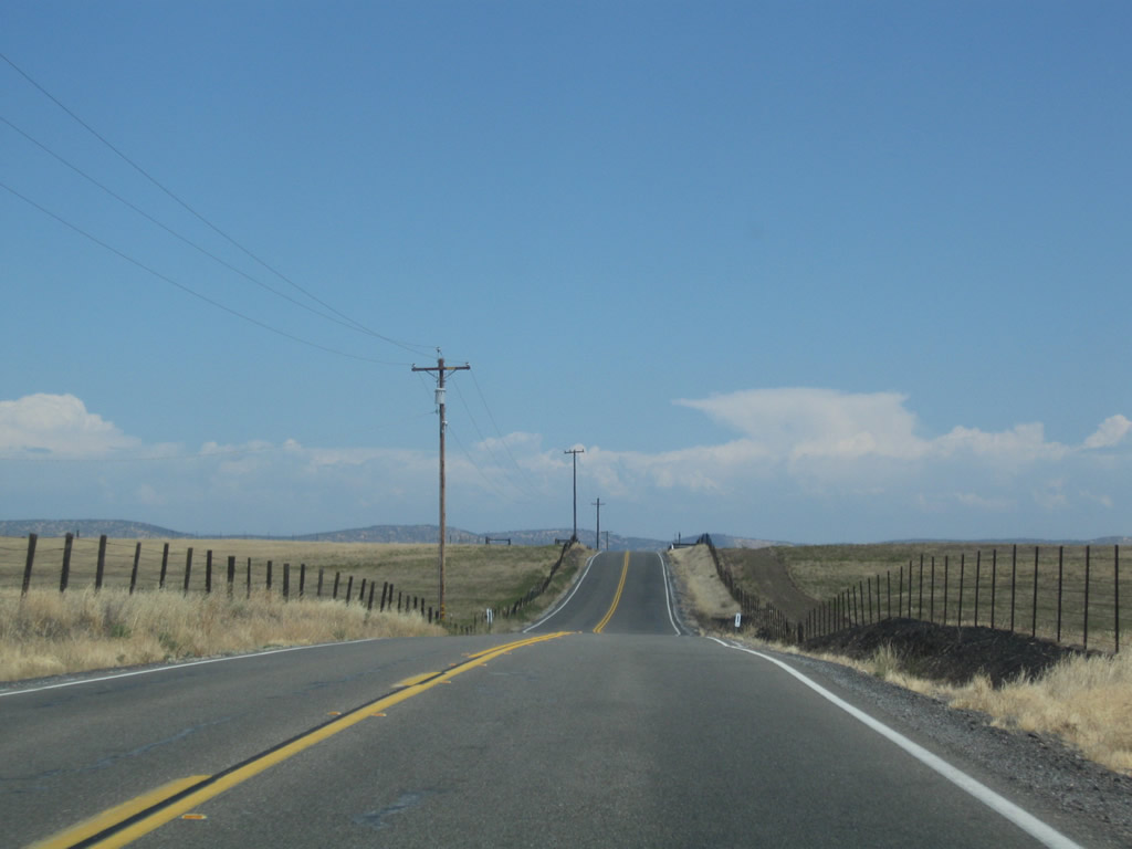
SR 4 leaves San Joaquin County and progresses east 8.85 miles across Stanislaus County via Bachelor Valley.
07/18/09
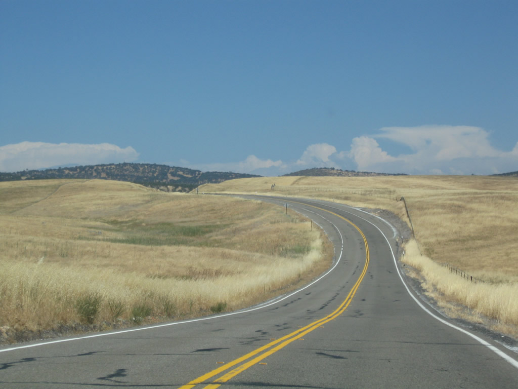
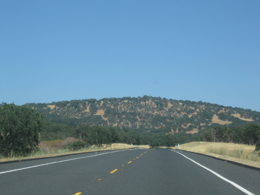
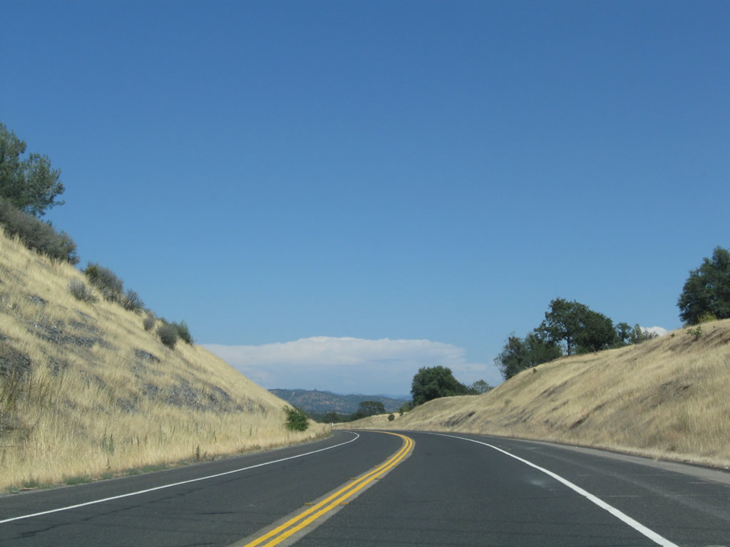
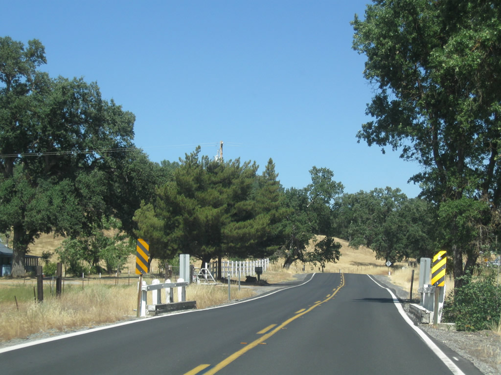
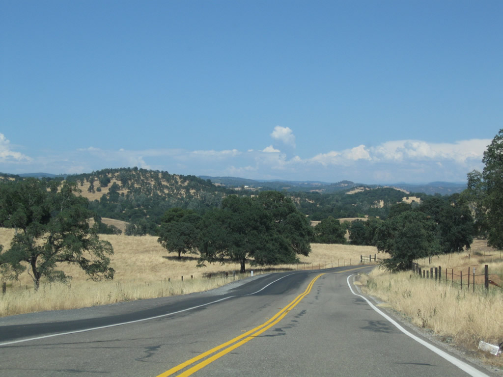
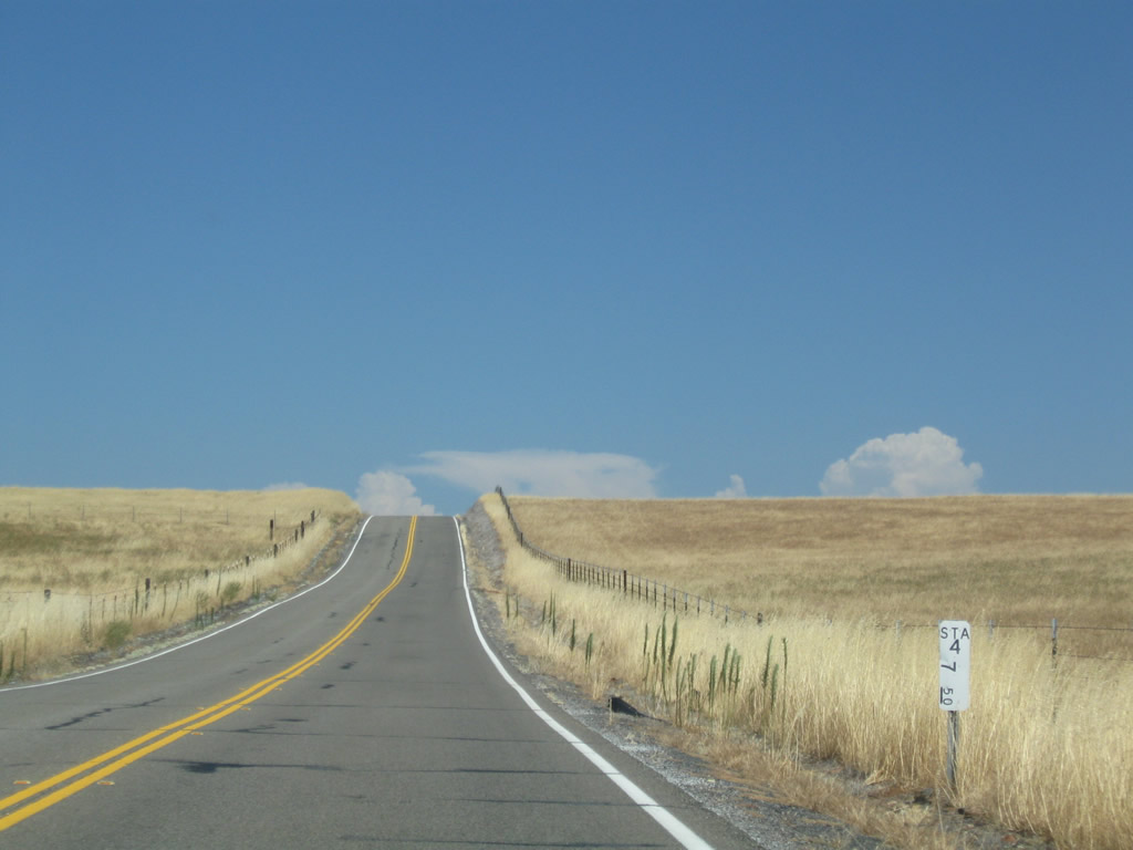
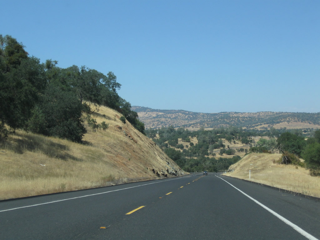
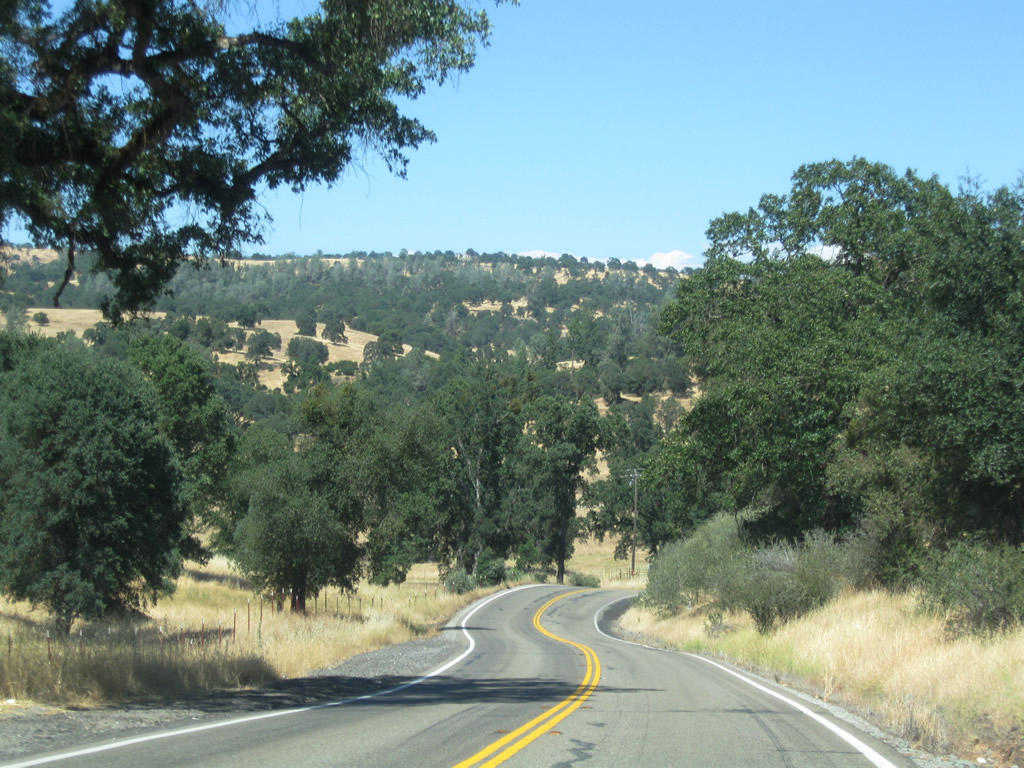
Most of SR 4 is rural in nature through northern Stanislaus County and Bachelor Valley. Occasional ranches and farms dot the road, but it travels primarily through rolling grassy hills. The highway generally stays true to the contours of the route through these hills and valleys.
07/18/09
SR 4 crosses Rock Creek at postmile R 1.676 on a 1977-built bridge. Rock Creek flows south into the Farmington Flood Control Basin.
07/18/09
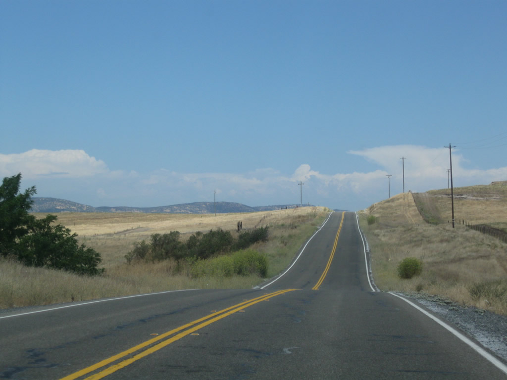
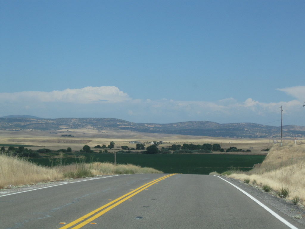
SR 4 climbs out of the Rock Creek valley, gaining nearly 100 feet in elevation over the ensuing mile.
07/18/09
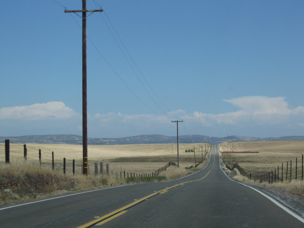
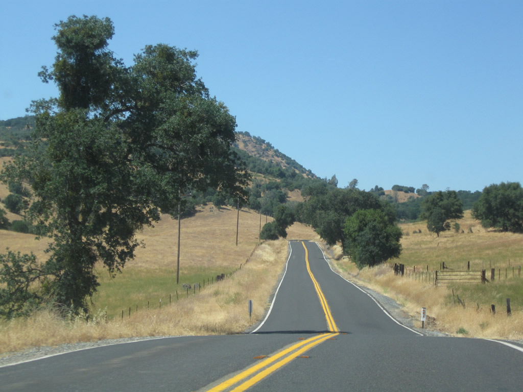
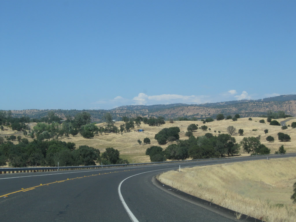
Continuing north of Bachelor Valley along SR 4 east. In the winter and spring, these brown/golden hills turn a verdant green with the arrival of rainfall. During the dry summer, the grasses become dormant.
07/18/09
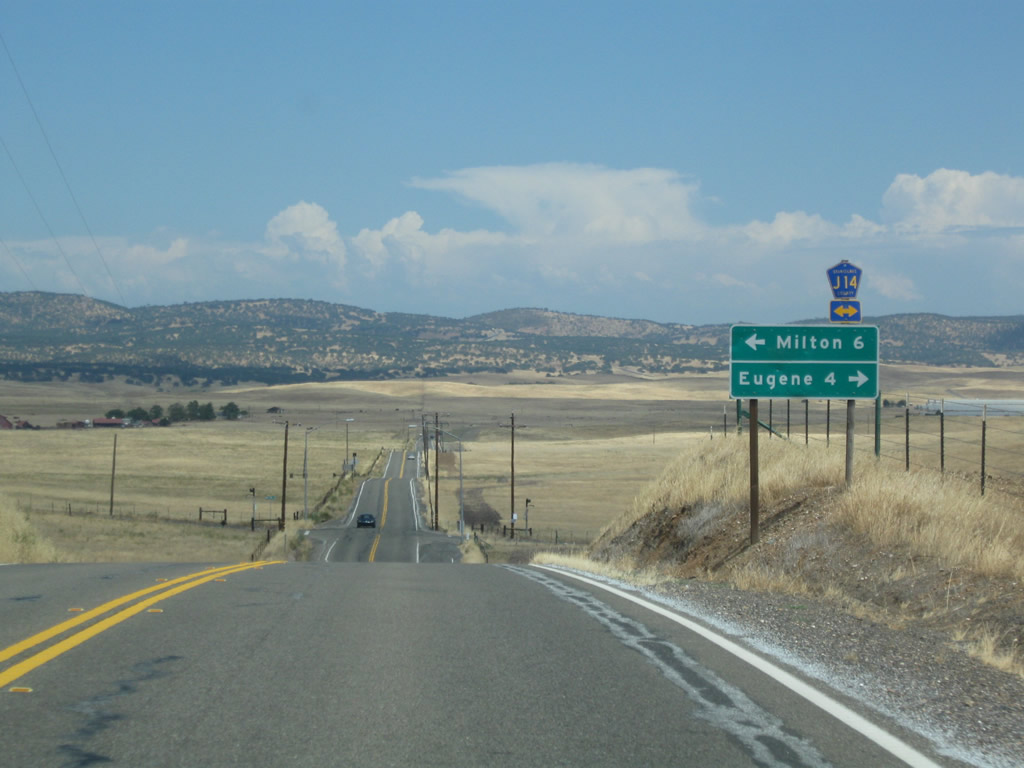
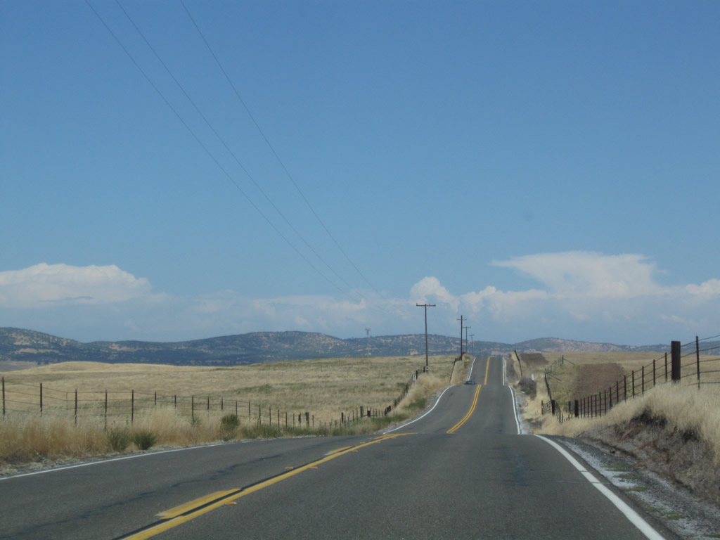
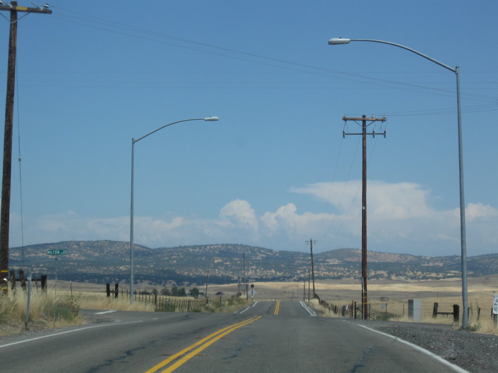
Eastbound SR 4 approaches Stanislaus County Route J-14 (Milton Road). This road leads north to Milton, at the intersection of Calaveras County Route E-15, and ultimately to SR 26 near Jenny Lind. Southward, CR J-14 (Milton Road) travels to Eugene, Woodward Reservoir and Oakdale.
07/18/09
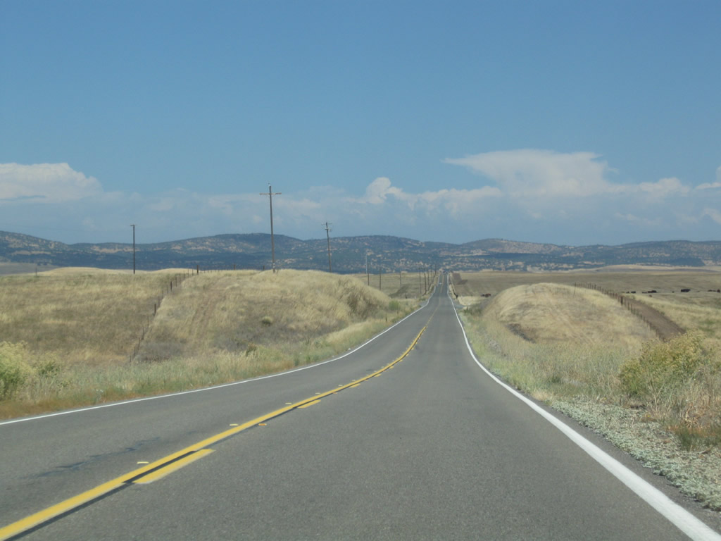
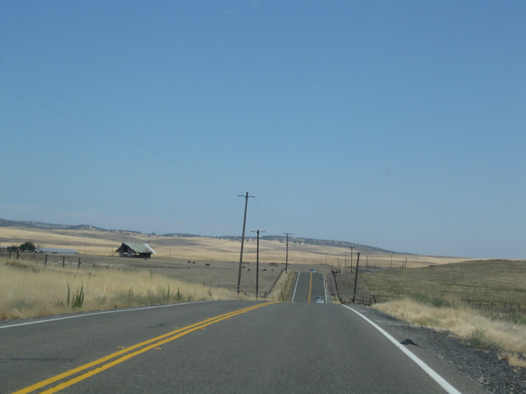
Leading away from CR J-14 (Milton Road), SR 4 shifts southeast into upper reaches of Bachelor Valley.
07/18/09
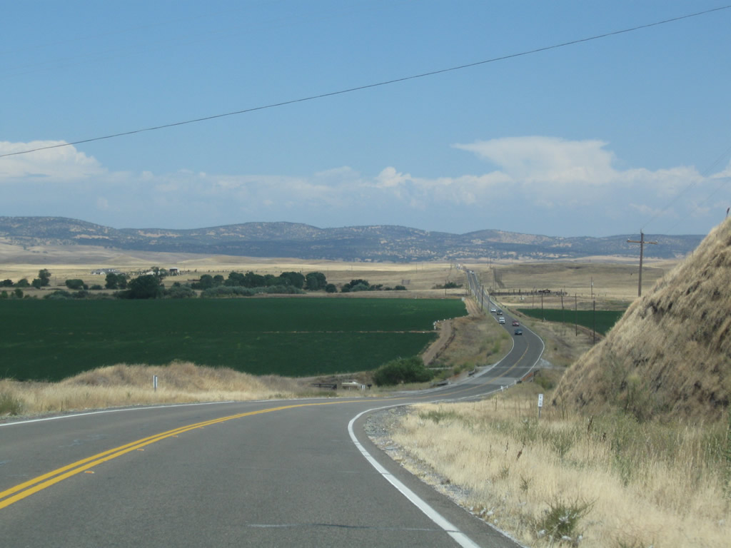
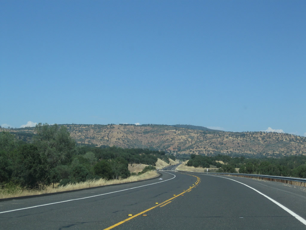
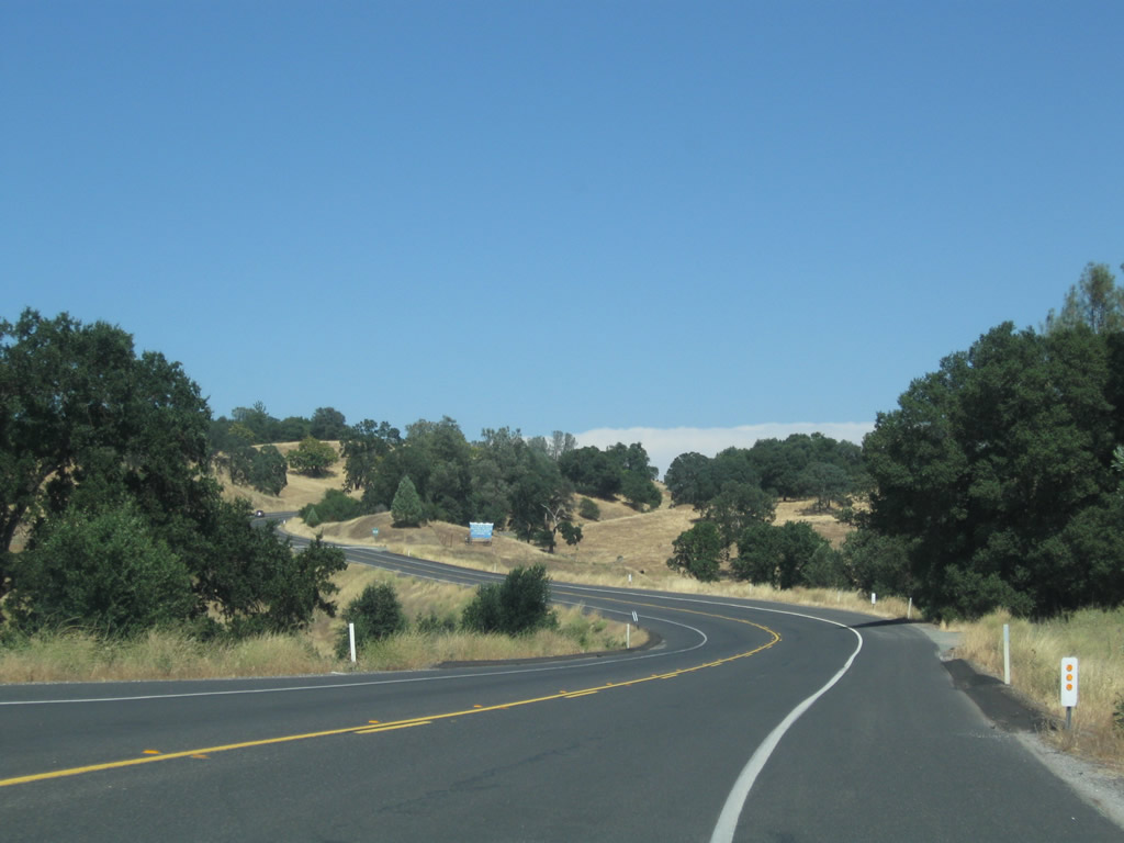
The Sierra Nevada foothills become more prevalent in the distance as SR 4 progresses toward Gopher Ridge.
07/18/09
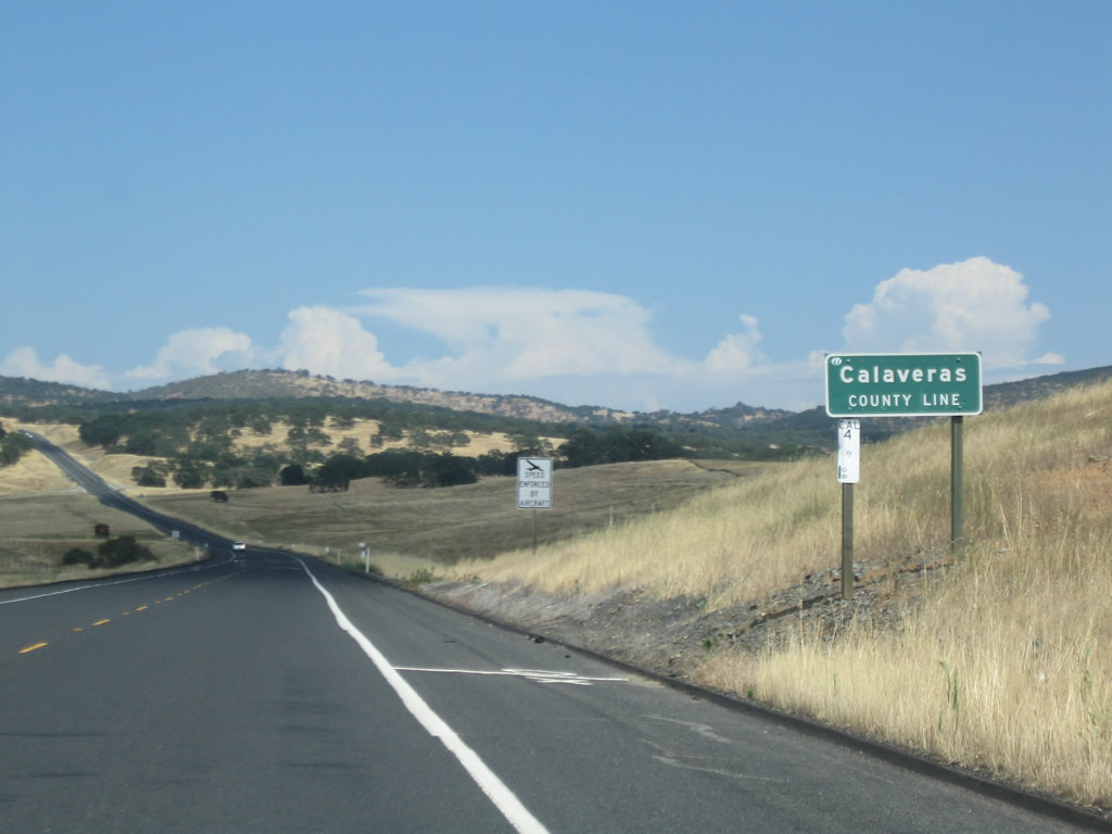
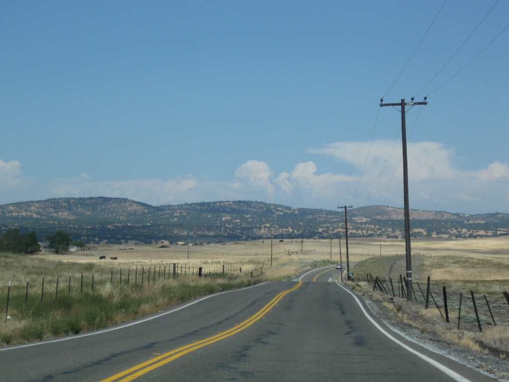
SR 4 enters Calaveras County at Copper Gulch.
07/18/09
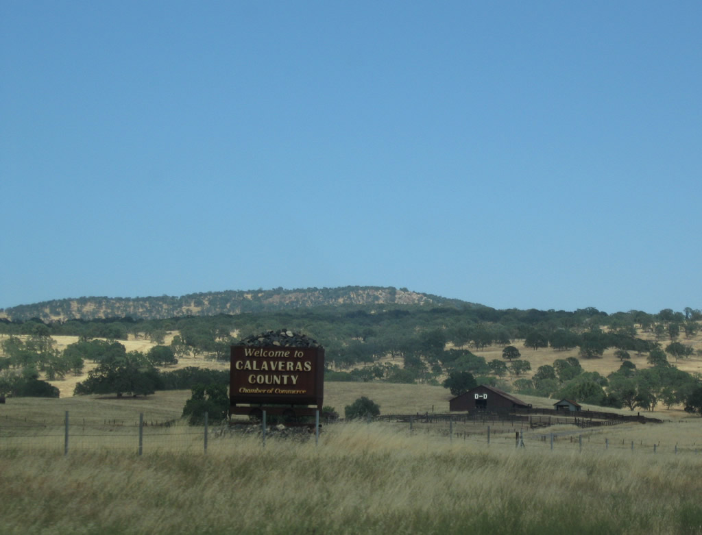
Calaveras County welcome sign posted along SR 4. The county is perhaps best known for the "Celebrated Jumping Frog of Calaveras County" characterized by well-known writer Mark Twain. Home to around 40,000, Calaveras County is situated in California's Gold Country. "Calaveras" is Spanish for skulls, and the county's seat is located in San Andreas at the crossroads of SR 12 and 49.
07/18/09
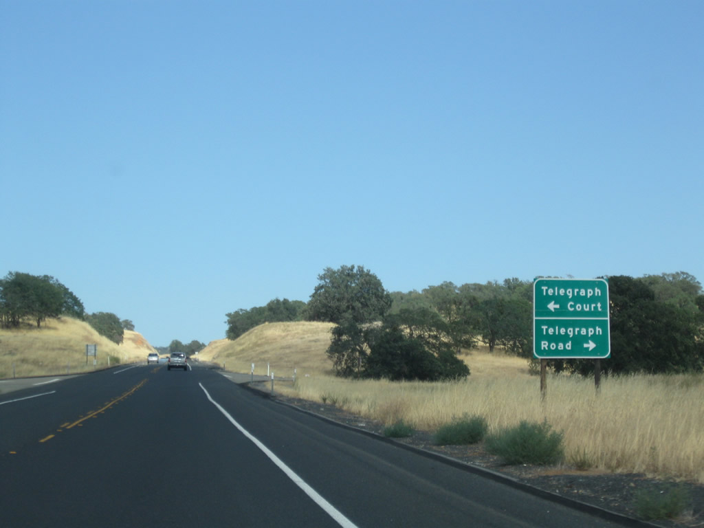
Ascending Gopher Ridge and leaving the Central Valley behind, eastbound SR 4 approaches Telegraph Court west and Road east. Collectively the two roads represent the 1960s alignment of SR 4 from Copper Gulch to Telegraph City.
07/18/09
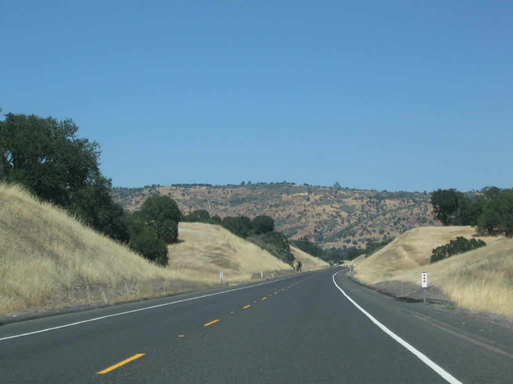
Passing through Gopher Ridge, Boucher Mountain (el. 1,548 feet) is visible along eastbound SR 4. Live oak trees and golden grass represent the landscape, which is typical of the lower Sierra Nevada foothills.
07/18/09
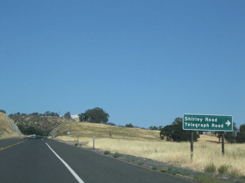
Shirley Road links SR 4 with Telegraph Road (old SR 4) leading west back to Telegraph City.
07/18/09
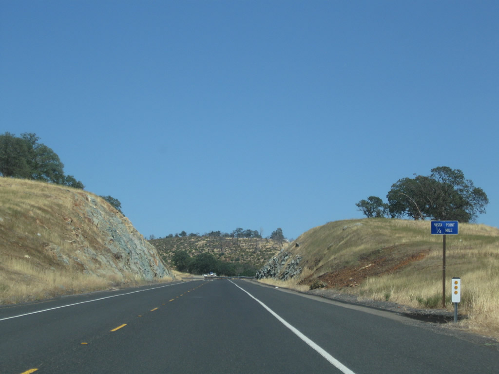
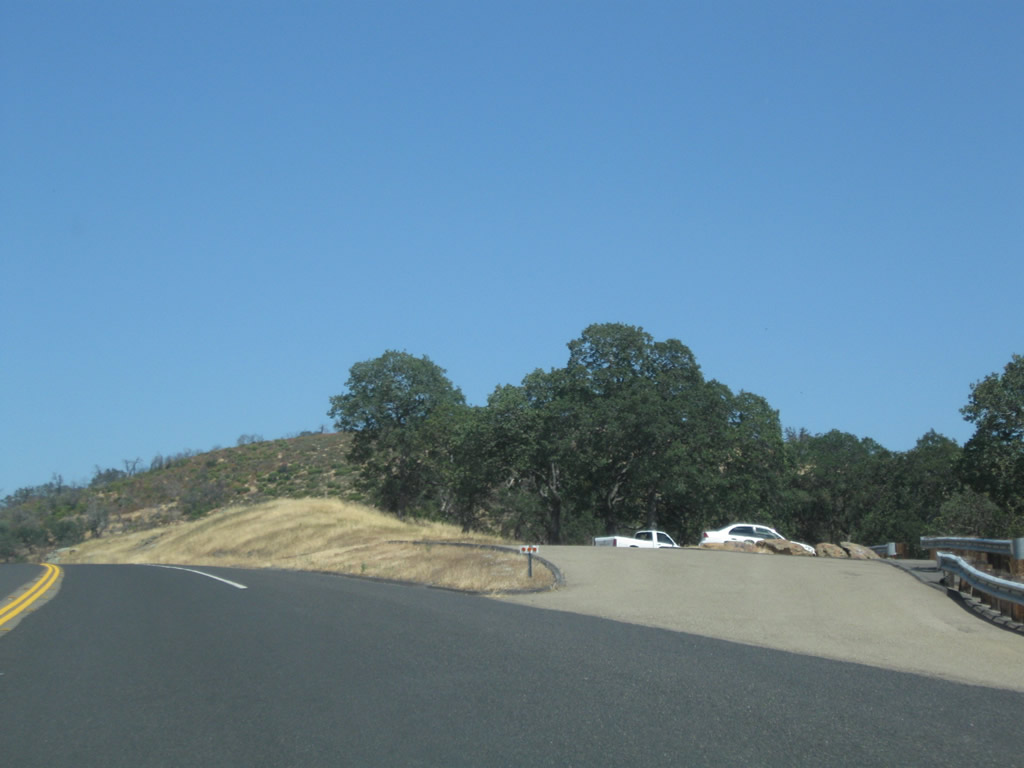
A Vista Point at the top of Gopher Ridge provides motorists with a stopping place with a view south toward Tulloch Reservoir and east toward Copperopolis.
07/18/09

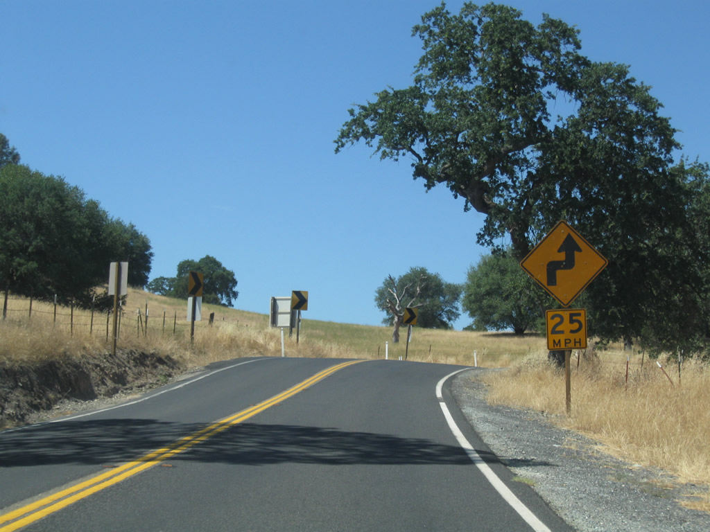
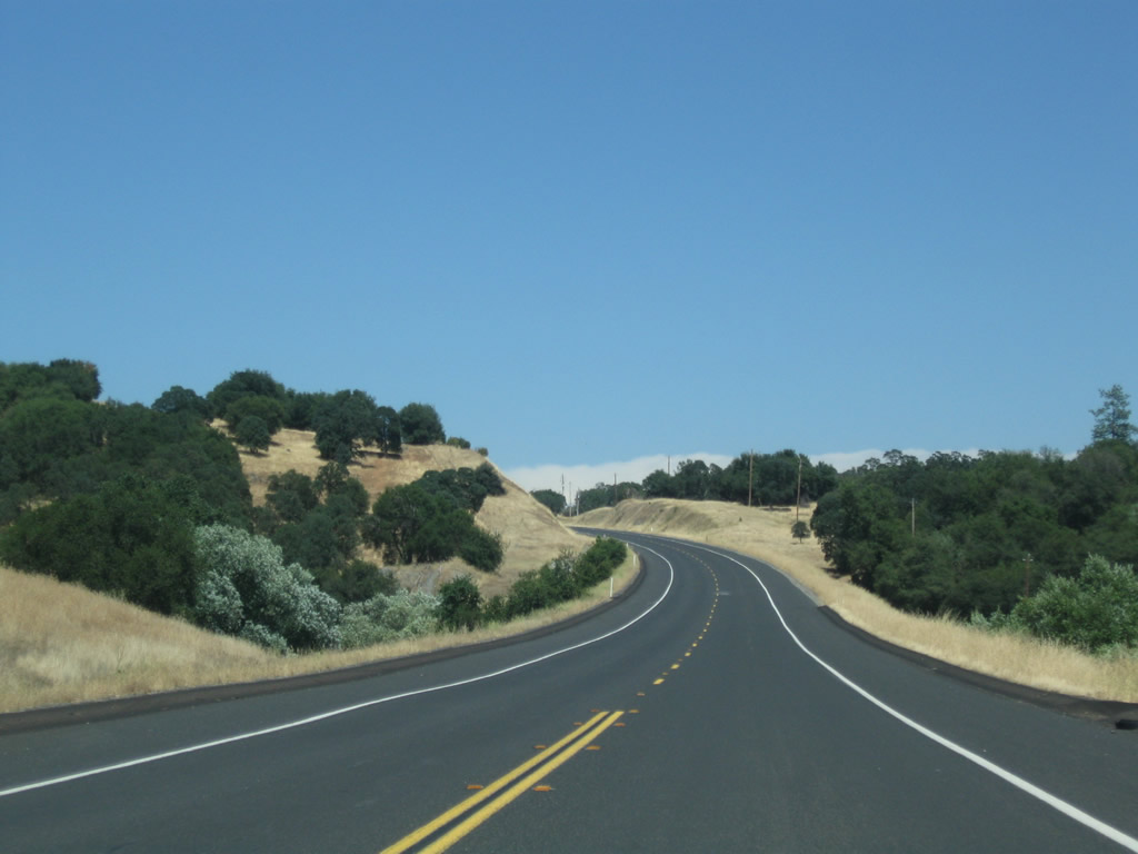
SR 4 navigates through a sweeping S-curve as it lowers 300 feet in elevation from Gopher Ridge.
07/18/09
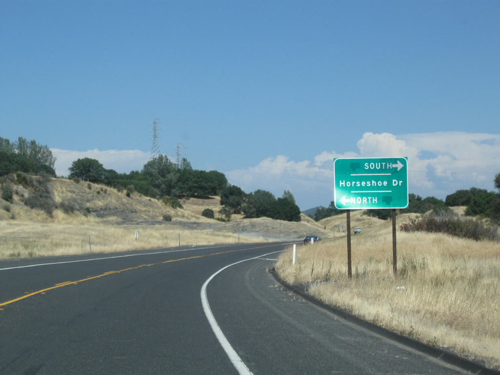
Horseshoe Drive intersects SR 4 from ranch areas east of McCarty Creek.
07/18/09
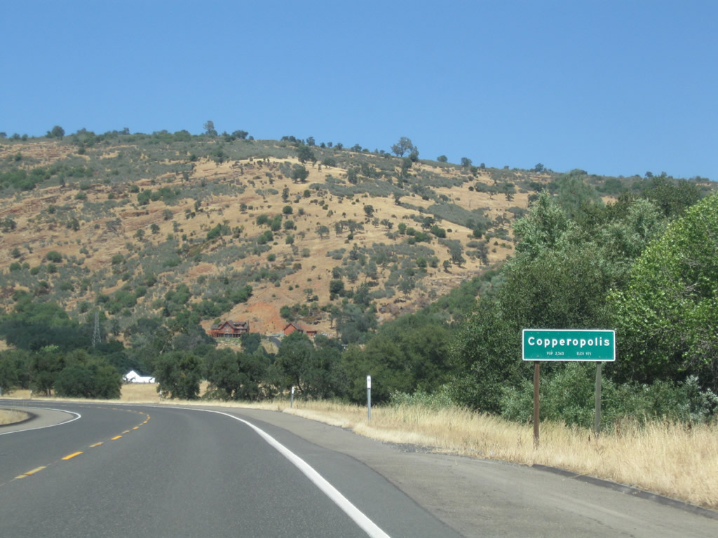
The Bear Mountains come into view as SR 4 advances northeast toward Copperopolis.
07/18/09
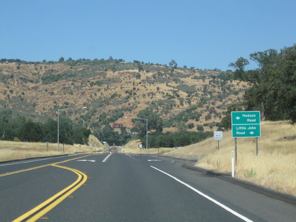
Little John Road, the 1960s alignment of SR 4, ties into the state route opposite Hodson Road. Copperopolis Town Square retail lies just to the south.
07/18/09
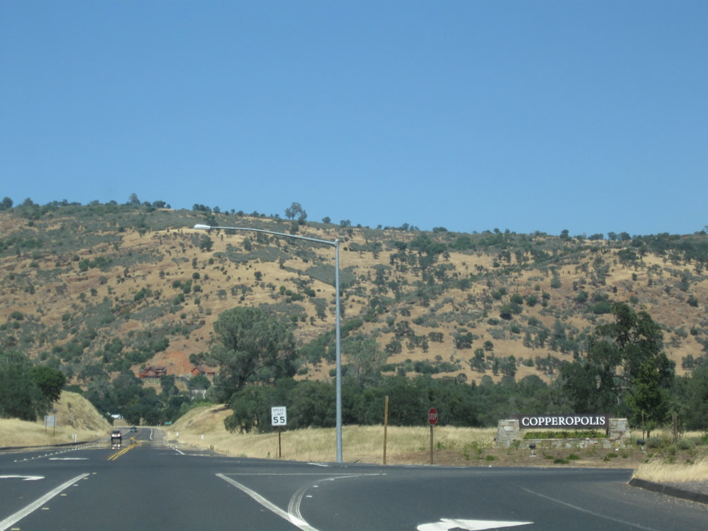
Copperopolis was home to 3,671 as of the 2010 Census and sits at an elevation of 997 feet. As its name implies, Copperopolis owes its founding to copper mining, unlike gold mining seen along the Mother Lode east of here.
07/18/09
Curving north through Copperopolis, SR 4 next intersects CR E-15 (Main Street) south and Rock Creek Road north. Unmarked on advance signage here, as of 2003 the only route shield still in place on CR E-15 was the first northbound shield posted beyond the Tuolumne-Calaveras County Line.
07/18/09
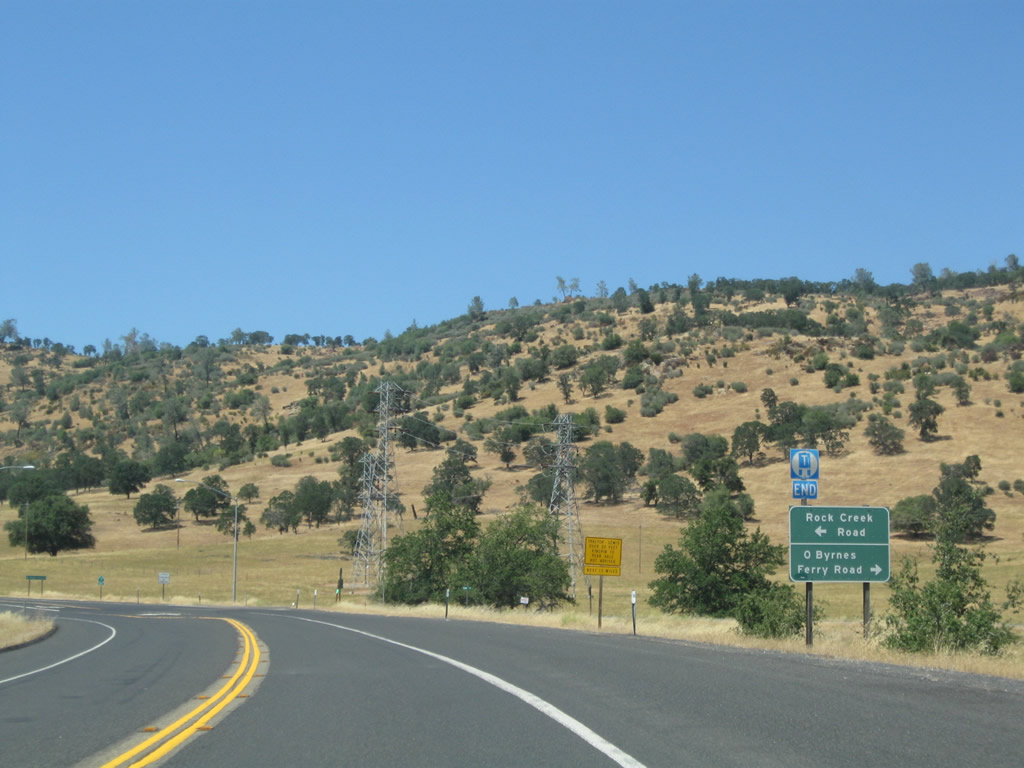
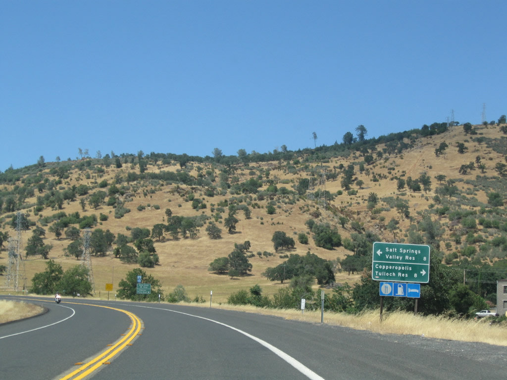
CR E-15 (O'Byrnes Ferry Road) extends south from Main Street in Copperopolis to Tulloch Reservoir and Yosemite Junction. CR E-15 is the best route to Jamestown and Sonora from eastbound SR 4. Rock Creek Road travels north from here to Felix and Salt Springs Valley Reservoir.
07/18/09
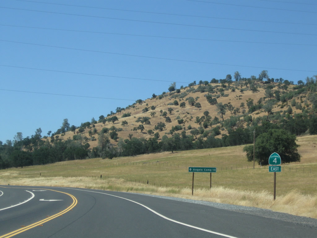
SR 4 advances 13 miles from the north end of CR E-15 to Angels Camp.
07/18/09

SR 4 climbs northward along the western slopes of Copperopolis Mountain. Copperopolis Reservoir and Homestead Ridge lie to the west along this stretch.
07/18/09
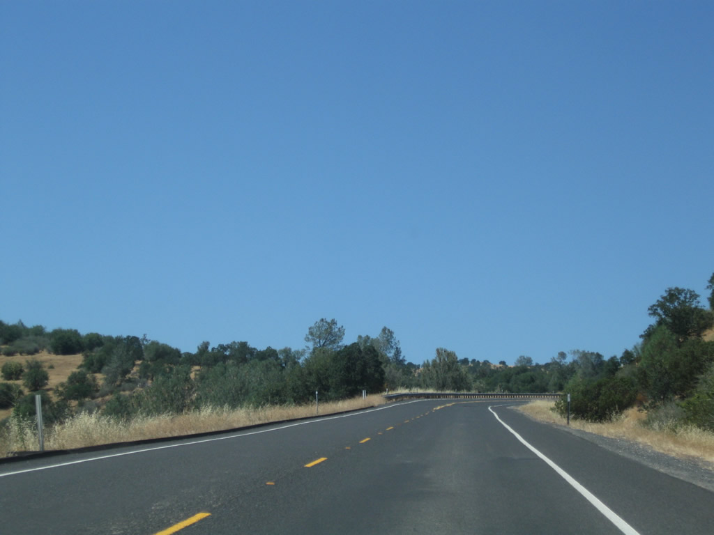
Due to the narrow, winding segments of SR 4 that lay ahead, trucks are not recommended on the segment leading north from Copperopolis to Angels Camp. The partial shoulders along SR 4 drop beyond the intersection with Bonanza Mine Way.
07/18/09
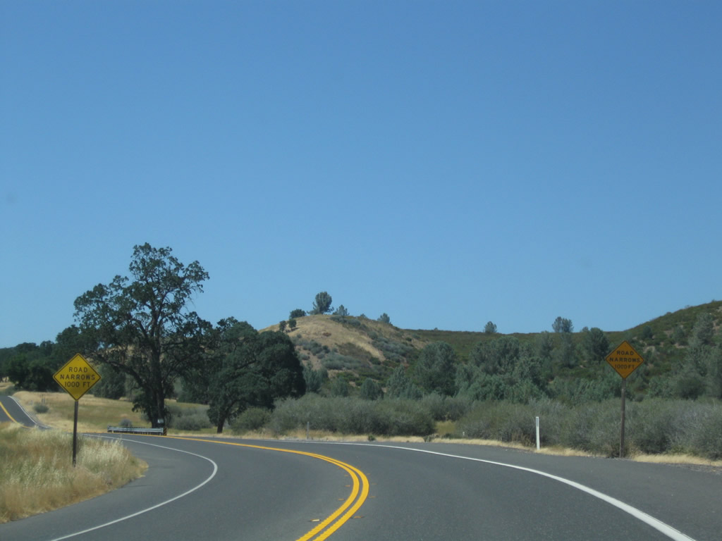
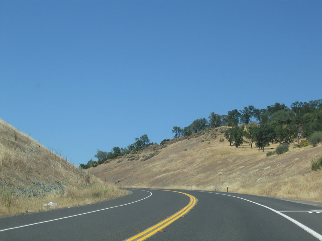
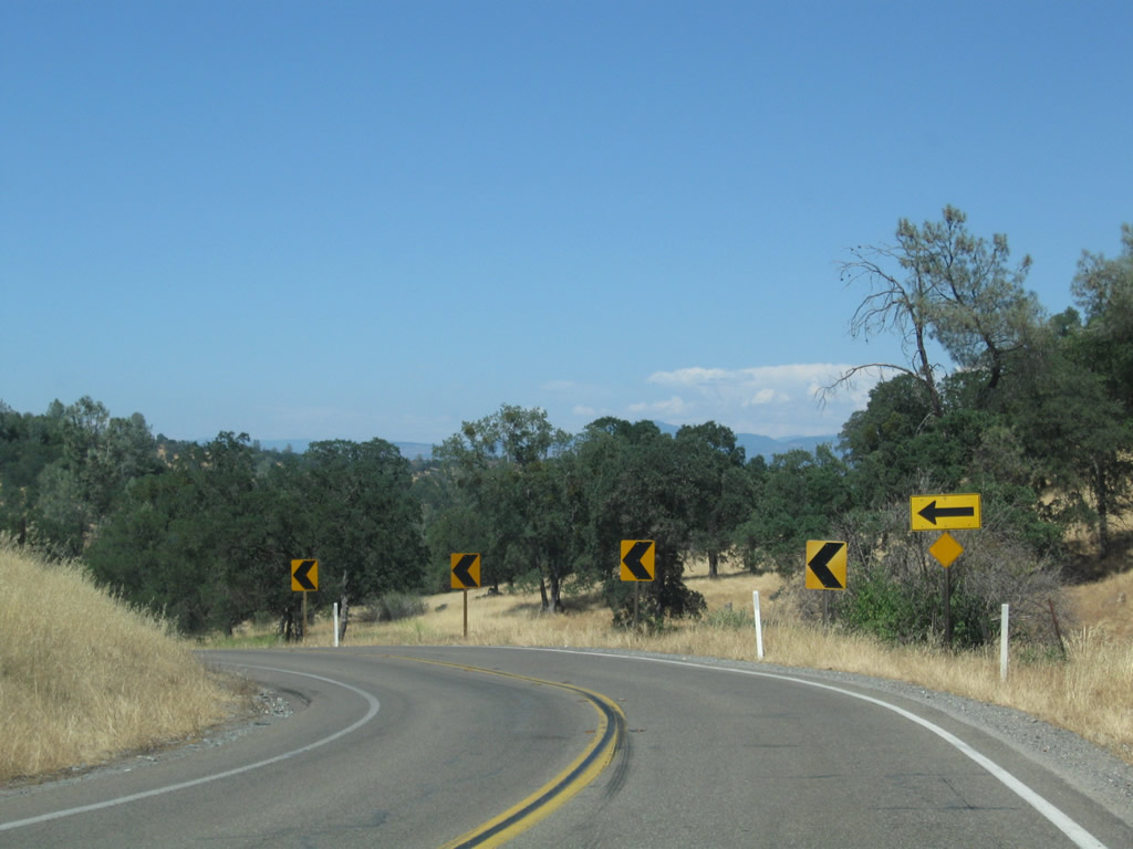
SR 4 navigates through a series of S-curves south of Carmen Peak and Pools Station.
07/18/09
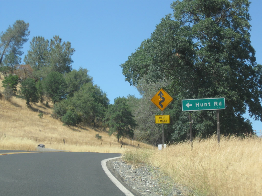
Hunt Road meanders west through the Bear Mountains to Carmen City.
07/18/09
A SR 4 east reassurance shield is posted after the Hunt Road intersection.
07/18/09
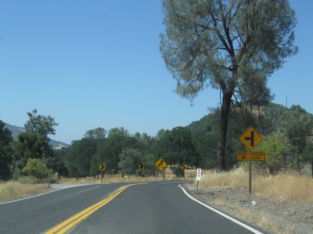
The next intersection falls within a series of sharp turns at Pool Station. Pool Station Road stems north to to San Andreas.
07/18/09
SR 4 lowers 250 feet in elevation from Pools Station east to Elkhorn Station.
07/18/09
SR 4 crosses Nassau Creek at the settlement of Elkhorn Station.
07/18/09
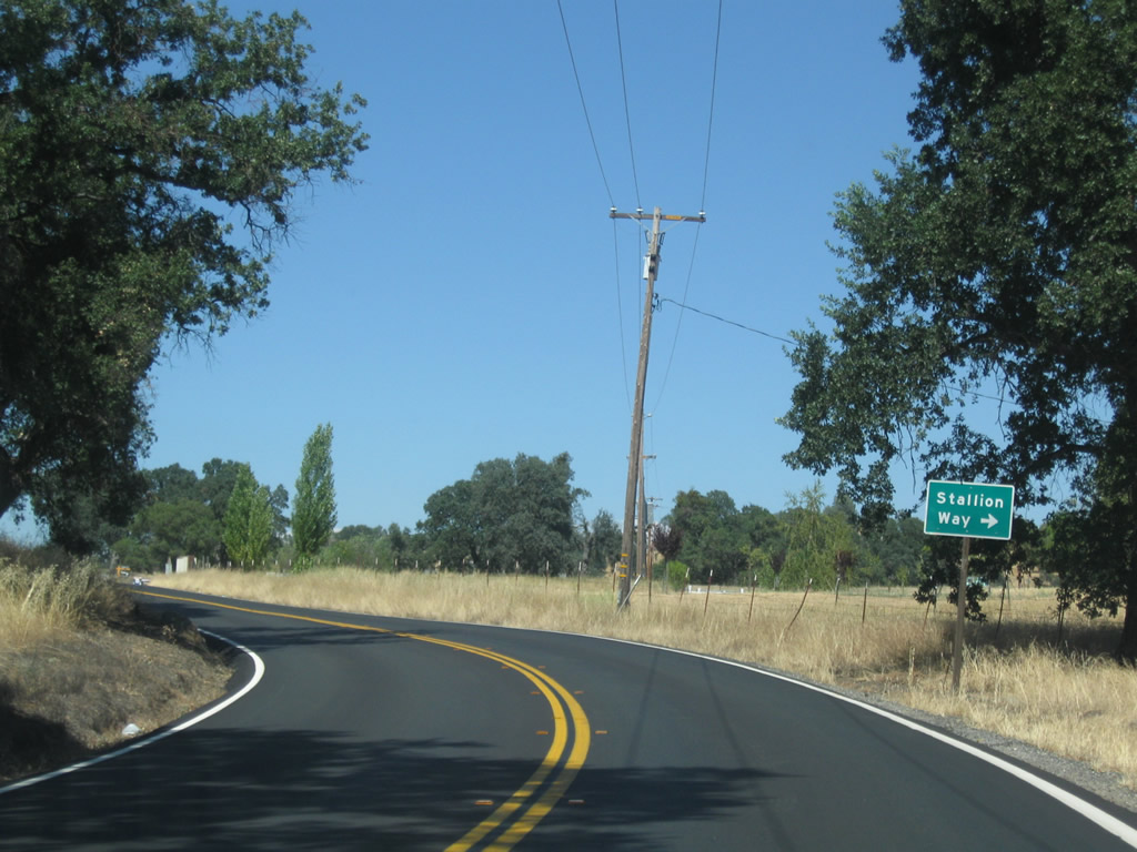
Stallion Way stems east from SR 4 and climbs onto Bear Mountain.
07/18/09
SR 4 makes a hairpin turn east from the Bear Mountains toward Altaville and Angels Camp.
07/18/09
SR 4 reassurance marker posted after Waterman Creek.
07/18/09
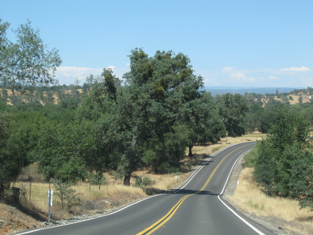
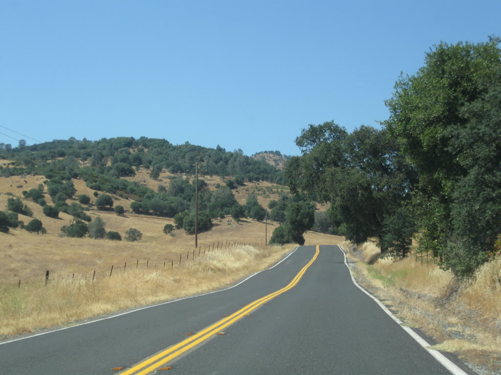
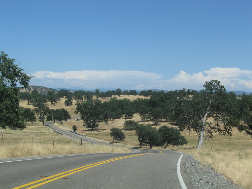
Gradually lowering, SR 4 continues through additional S-curves to the crossing of Cherokee Creek at postmile 16.145.
07/18/09
Stockton Road, a former alignment of SR 4 loops south from the state route into western reaches of Angels Camp ahead of this scene.
07/18/09
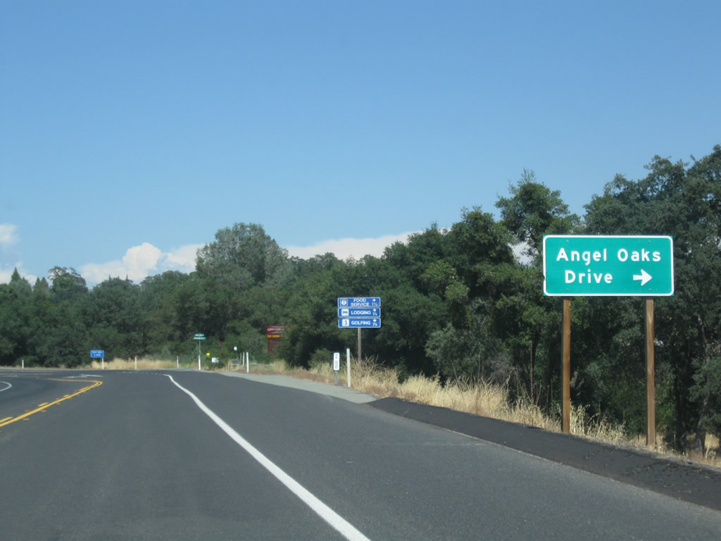
Angels Oaks Drive heads south from SR 4 to the Angels Oak development and Greenhorn Creek Resort golf course.
07/18/09

The city of Angels Camp was founded with the Gold Rush in 1848 and incorporated on January 24, 1912. The lone municipality in Calaveras County, Angels Camp had an estimated population of 3,876 in 2016 and sits at an elevation of 1,378 feet.
07/18/09
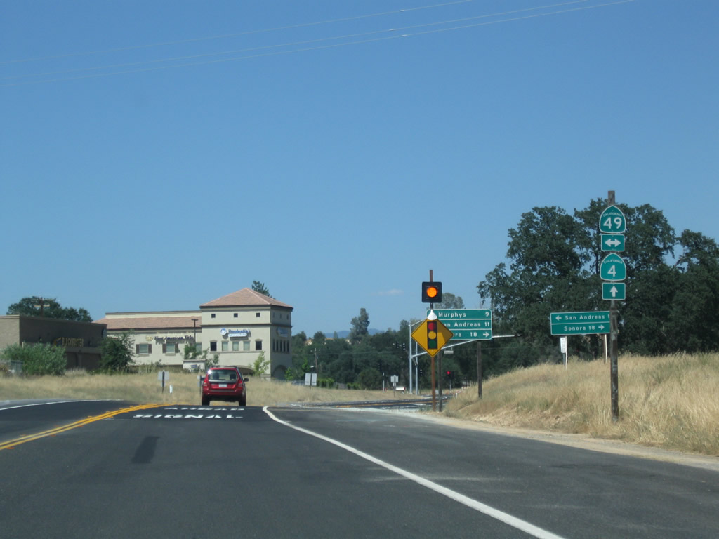
SR 4 bypasses central Angels Camp along a controlled access route to the north. SR 49 follows Main Street south through the historic Downtown, which is known for its shopping and restaurants. Angels Camp serves as a base for day or weekend forays into the scenic foothills, including Calaveras Big Trees State Park near Arnold.
07/18/09
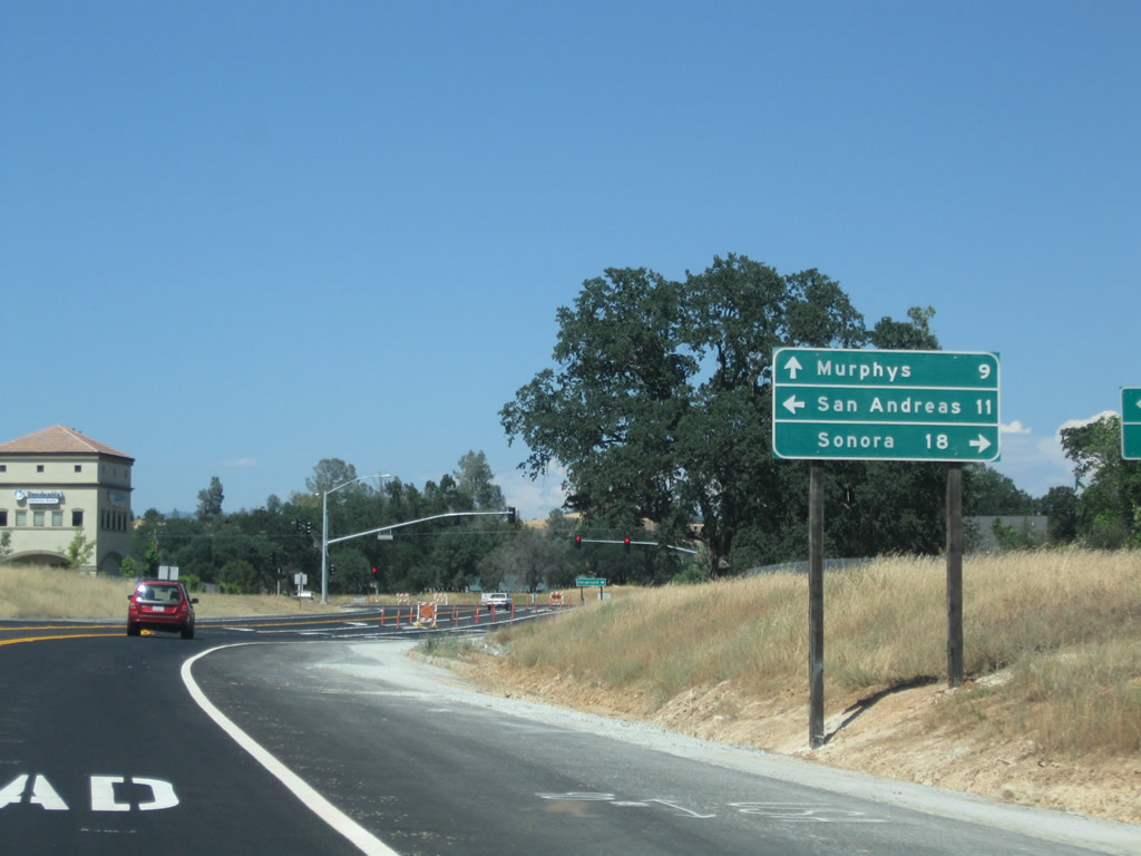
SR 49, which follows the Mother Lode through the Sierra Nevada foothills, travels south to Sonora and north to San Andreas. SR 4 previously overlapped with SR 49 south 1.5 miles along Main Street to Vallecito Road.
07/18/09
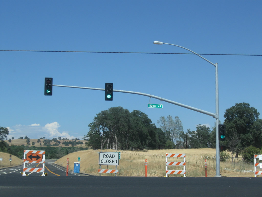
The 2.4 mile eastern leg of the Angels Camp Bypass for SR 4 opened to traffic on July 22, 2009.
07/18/09
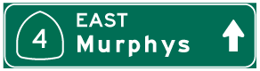
Photo Credits:
- Andy Field: 07/18/09
Page Updated Friday July 20, 2018.