
State Route 20 West - Placer / Nevada Counties
 West
West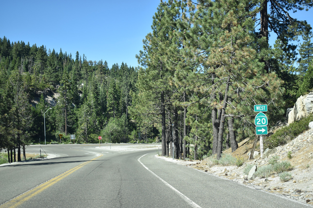
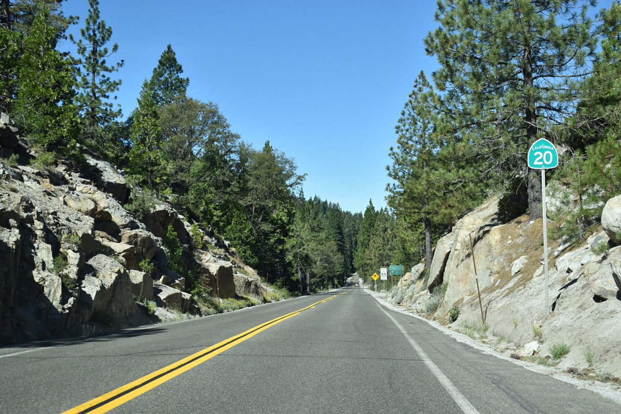
California State Route 20 originates from a folded diamond interchange with Interstate 80 at Yuba Pass.
07/11/18
I-80 diverges southward into Placer County while SR 20 ventures west through Bear Valley to Nevada City and Grass Valley.
07/11/18
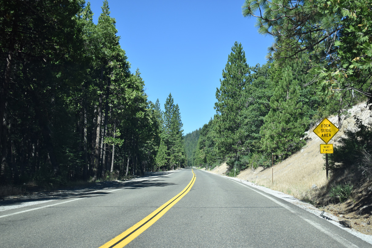
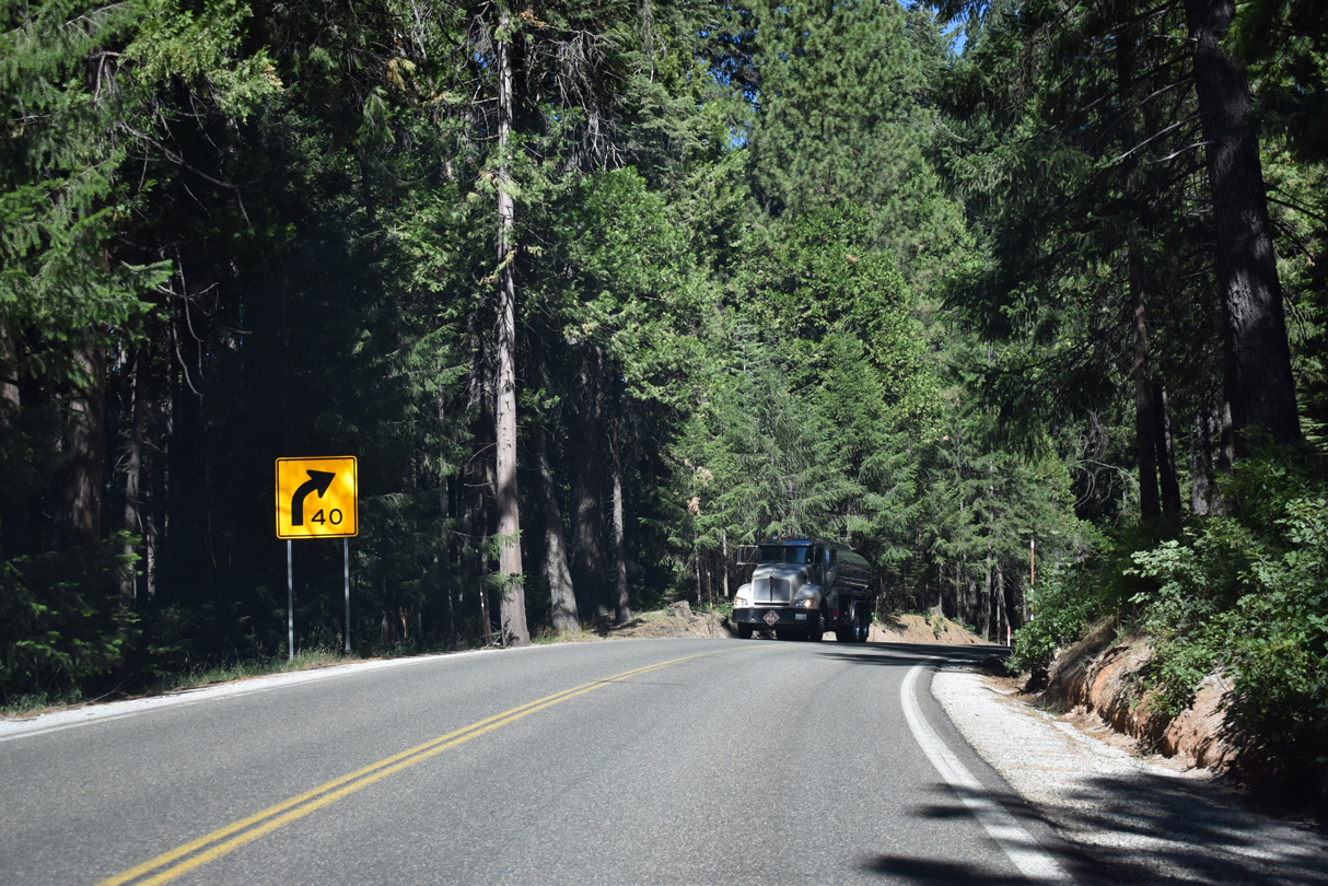
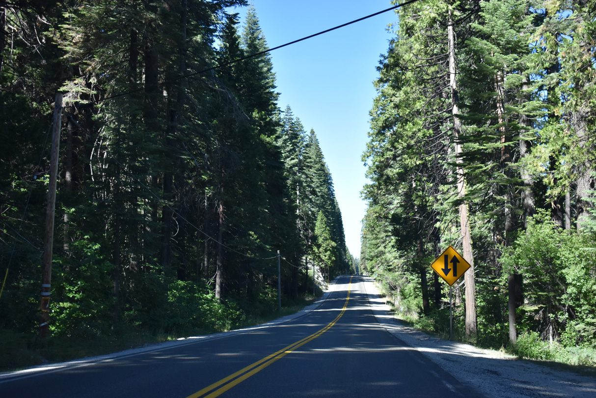
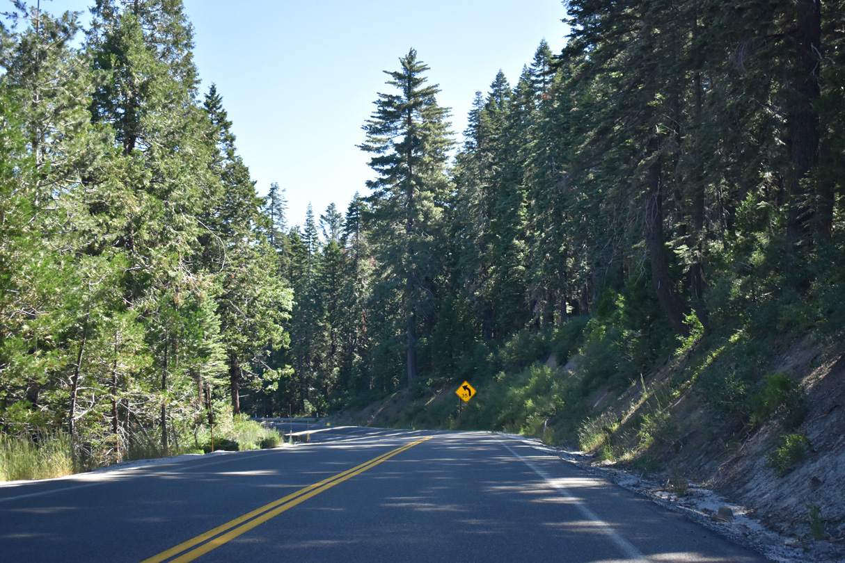
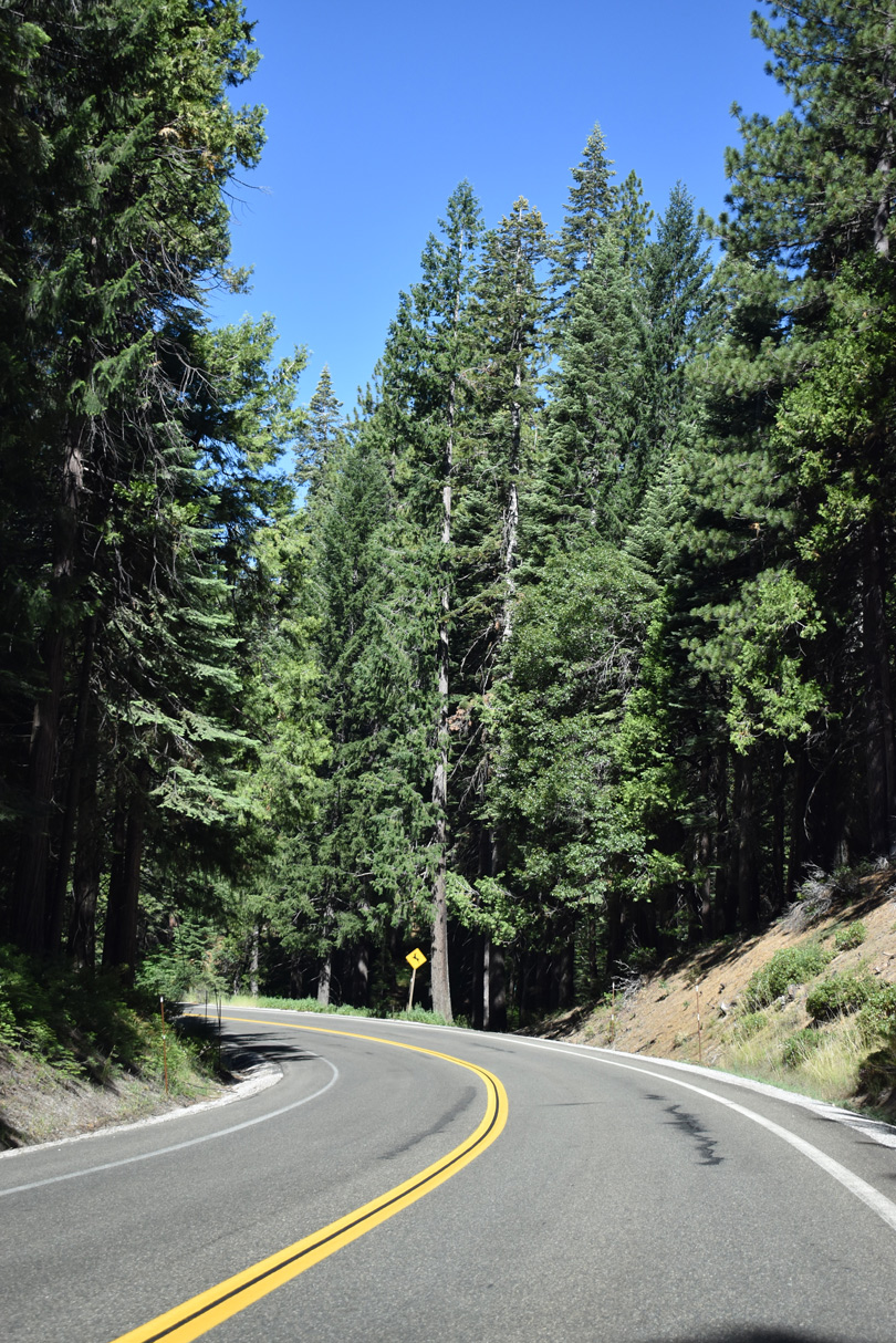
SR 20 navigates through a number of S-curves west through the settlement of Camp Spaulding.
07/11/18
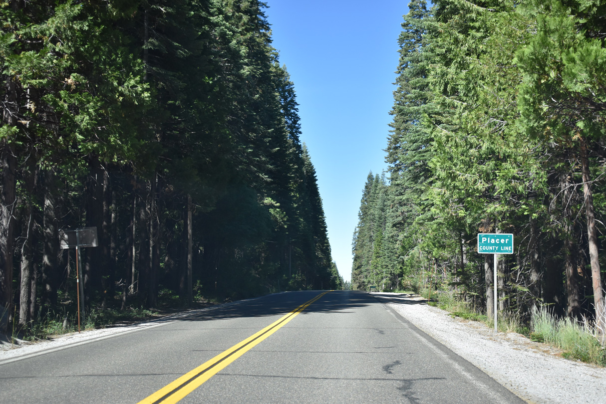
SR 20 nips northern reaches of Placer County between Camp Spaulding and Bear Valley.
07/11/18
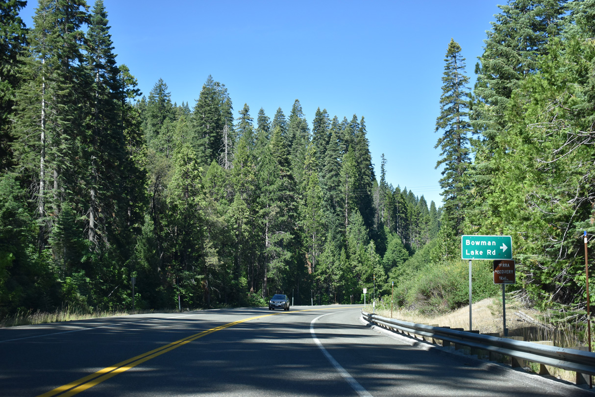
Bowman Lake Road stems northward from SR 20 to the Sierra Discovery Trail, Clyde Mountain and Bowman Lake.
07/11/18
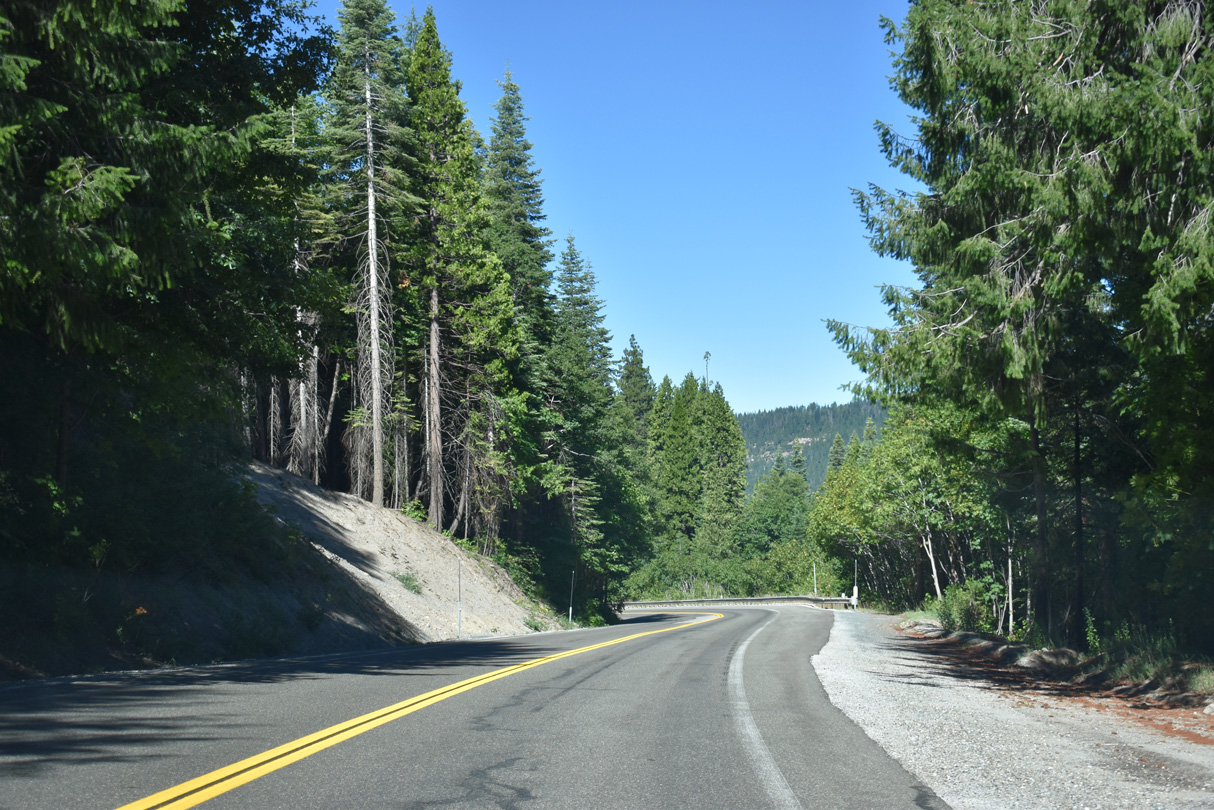
Continuing beyond Bowman Lake Road, SR 20 curves toward Lowell Hill Ridge through Bear Valley.
07/11/18
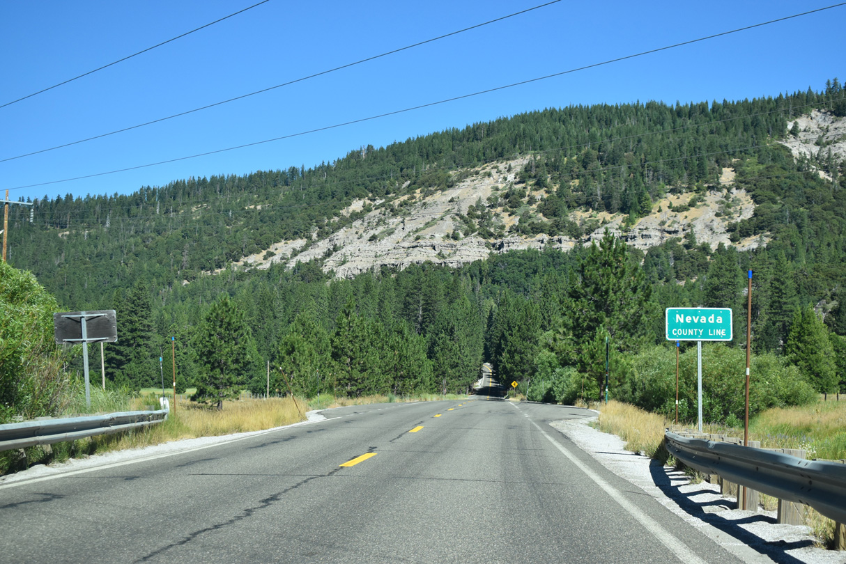
Crossing the Bear River, westbound SR 20 reenters Nevada County.
07/11/18
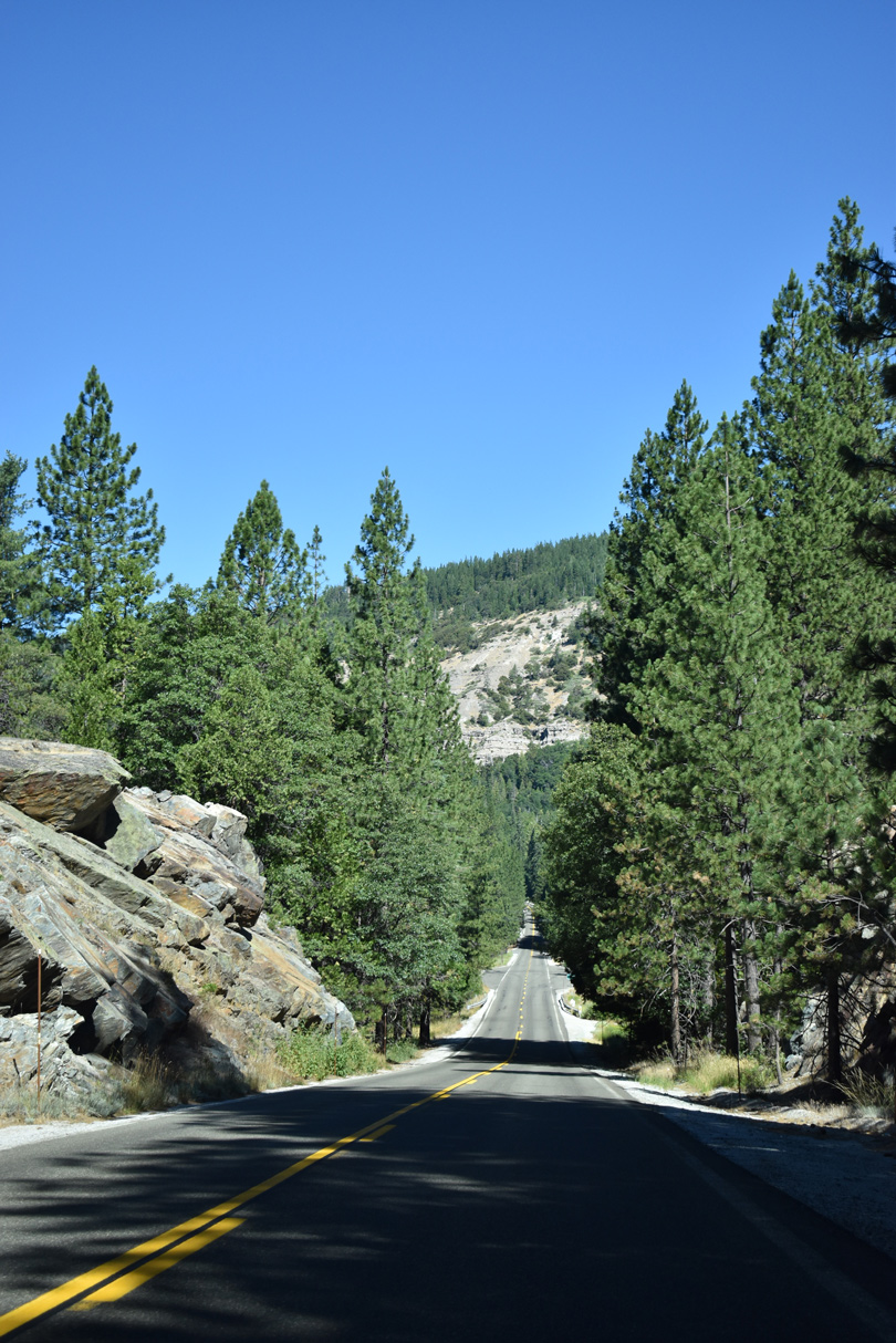
Ascending out of Bear Valley, SR 20 gains 600 feet in elevation along the south slopes of Lowell Hill Ridge.
07/11/18
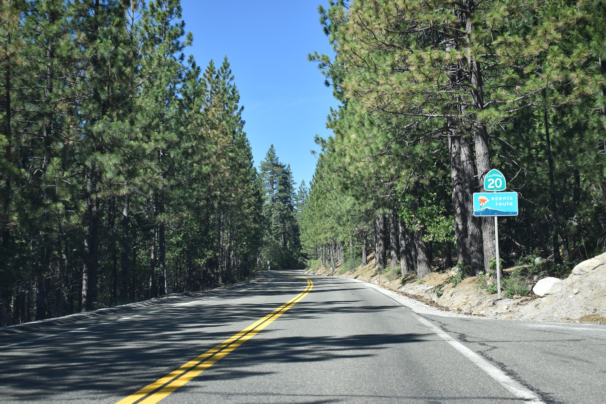
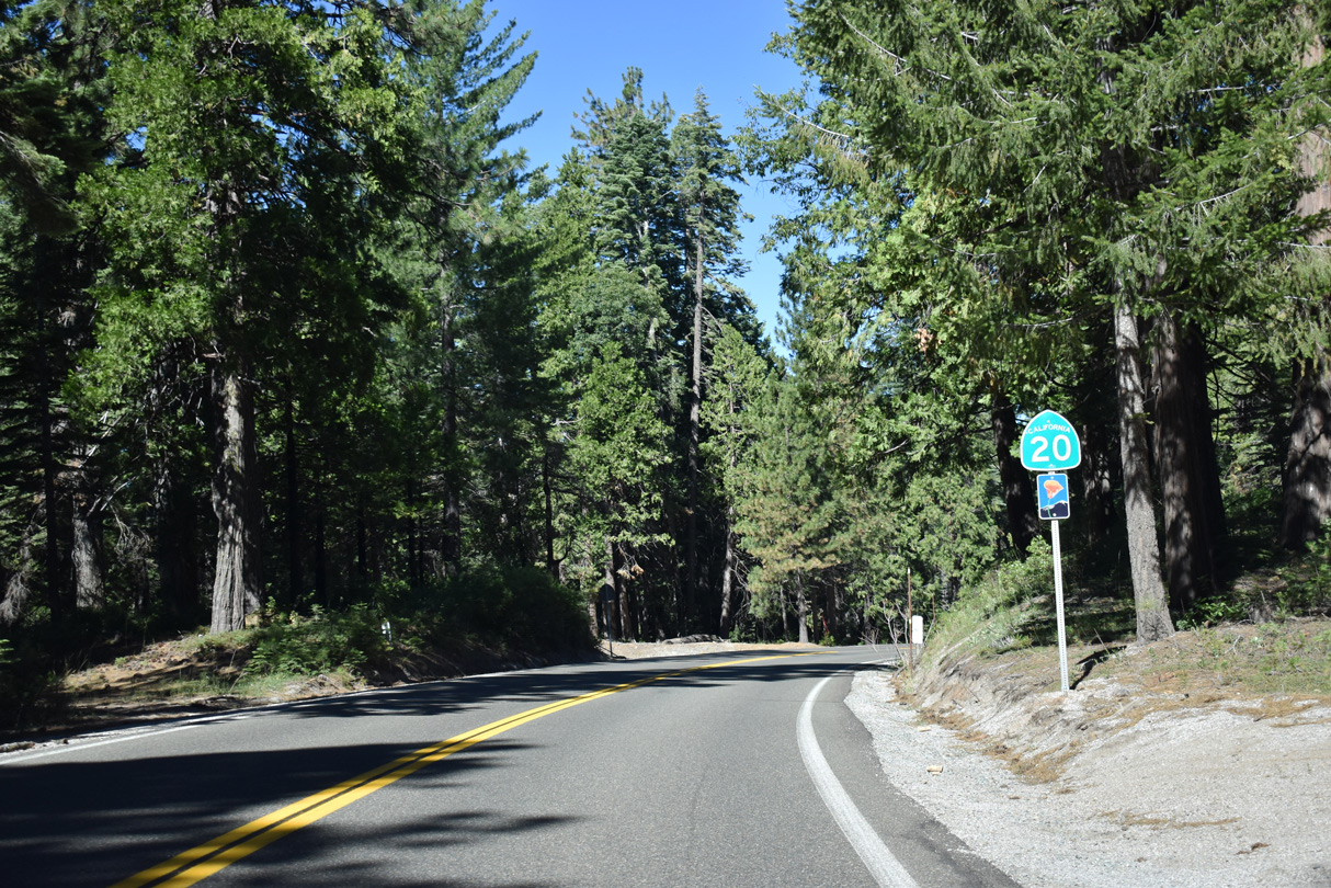
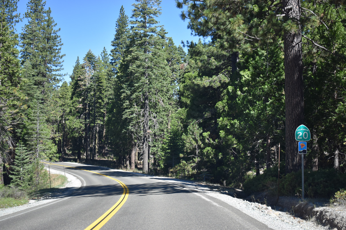
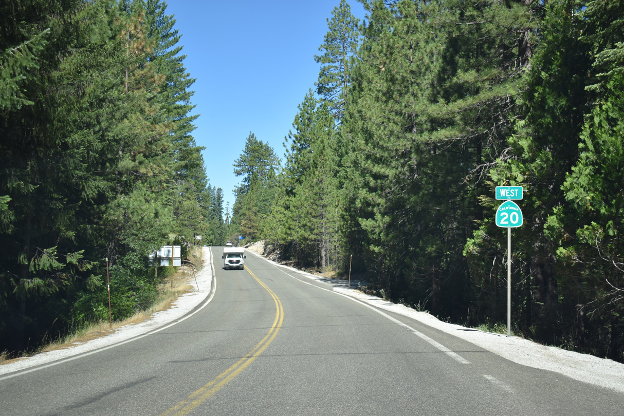
SR 20 west from I-80 to Nevada City is the Yuba Donner Scenic Byway.
07/11/18
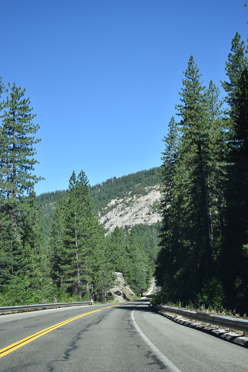
Rising to 5,200 feet above sea level, SR 20 winds through a series of switchbacks northward across Lowell Hill Ridge.
07/11/18
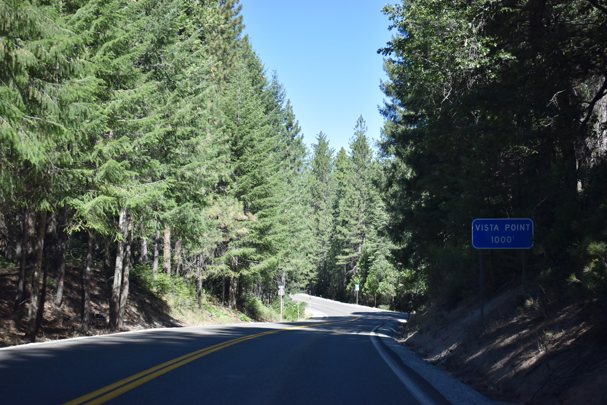
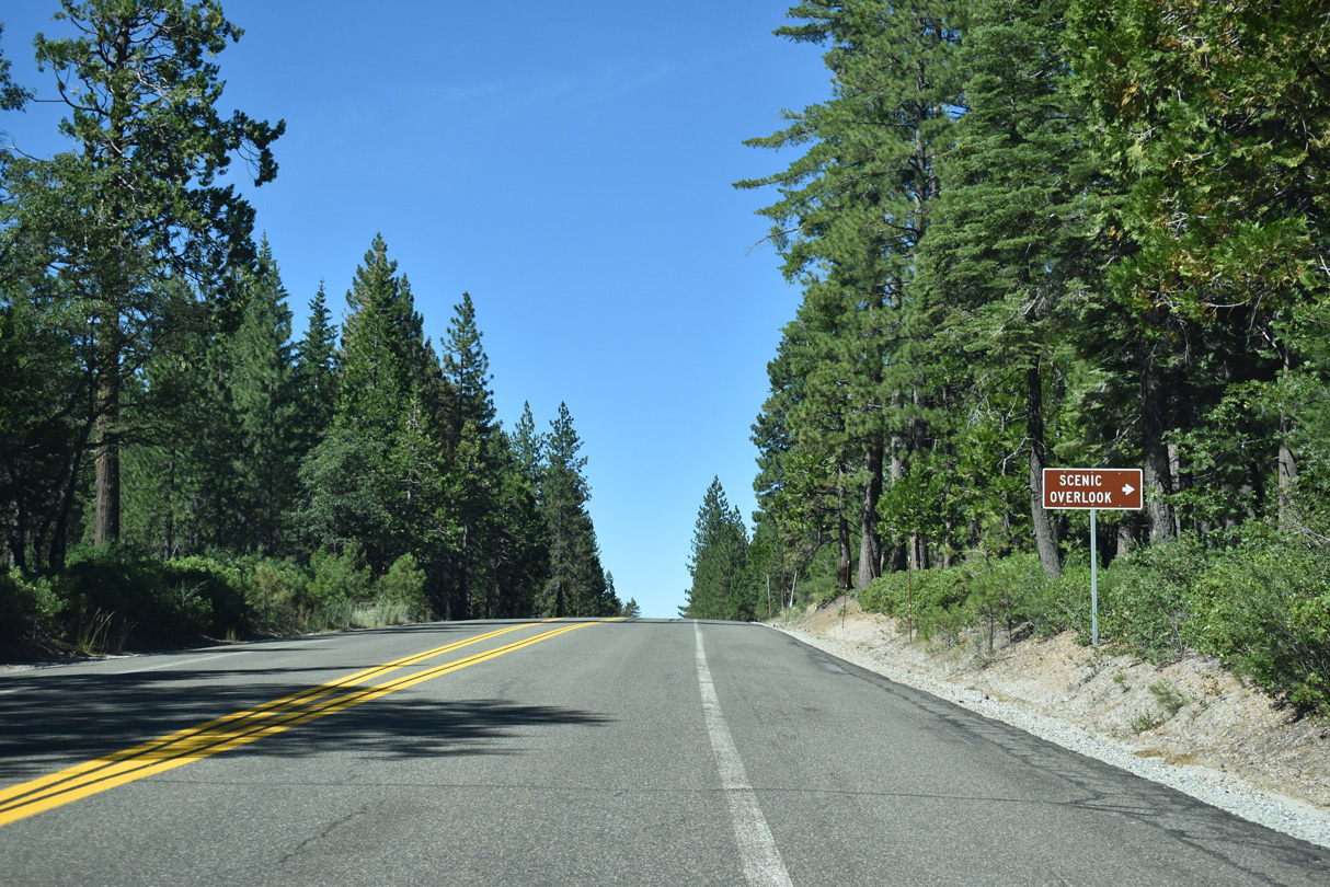
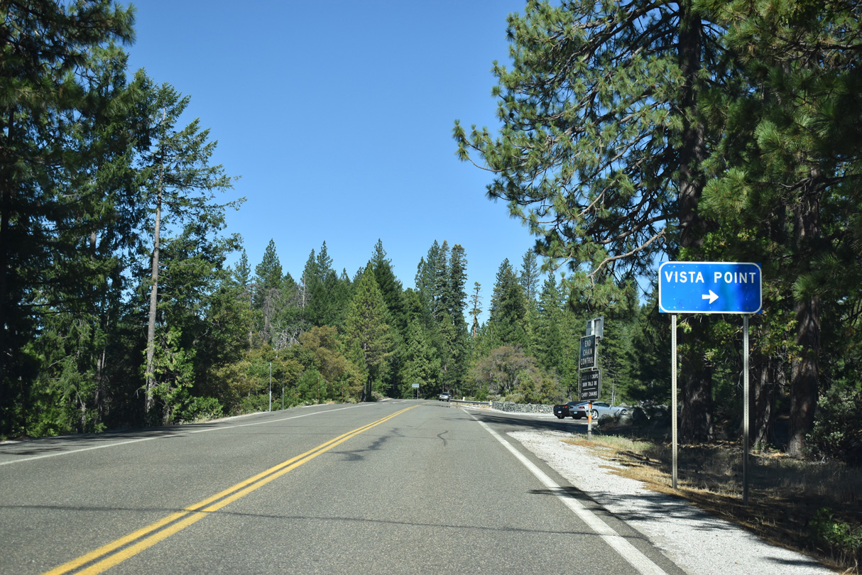
SR 20 straightens out somewhat ahead of the Omega scenic overlook.
07/11/18
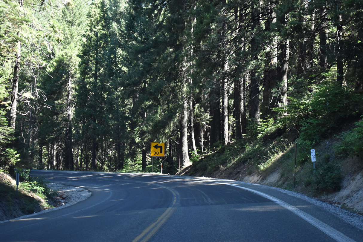
SR 20 navigates through a series of S-curves northwest from Sardine Spring to Skillman Flat.
07/11/18
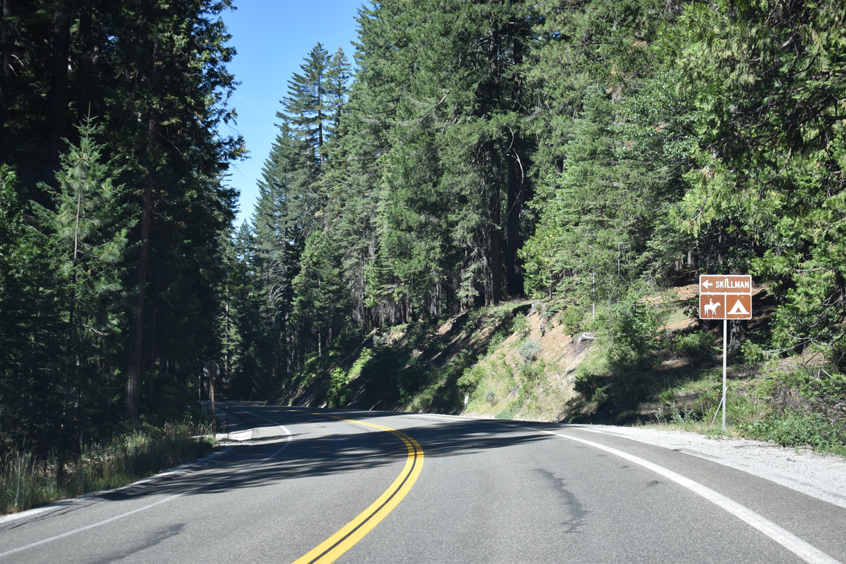
Skillman Horse Camp lies south of SR 20 on Burlington Ridge.
07/11/18
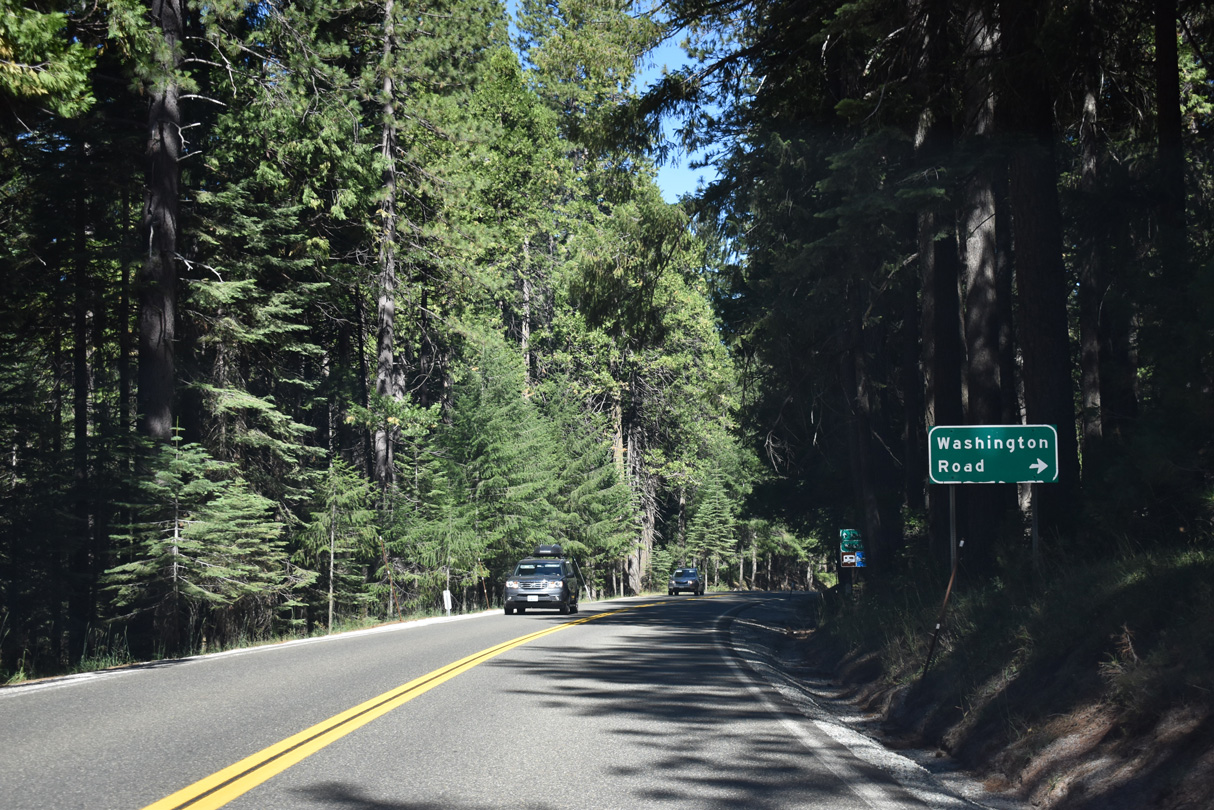
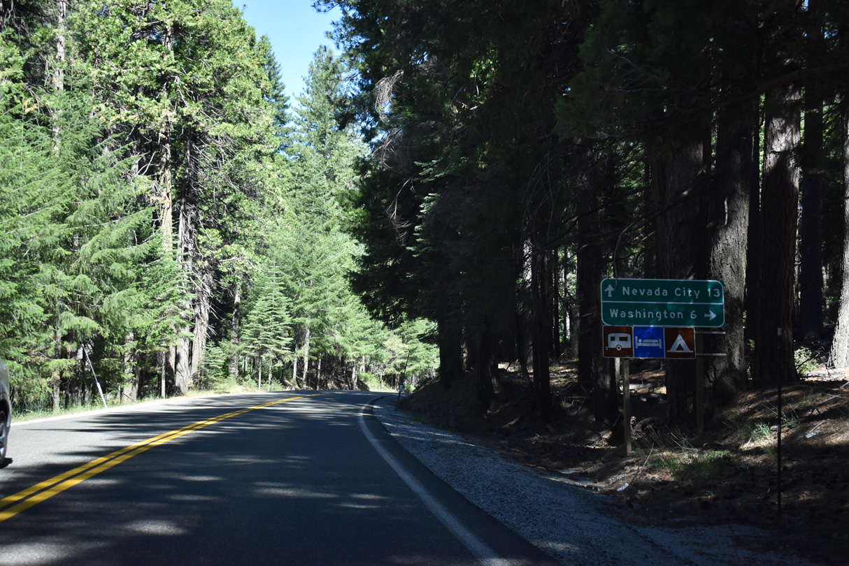
Washington Road meanders north from SR 20 six miles to the community of Washington along the South Fork of the Yuba River.
07/11/18
The Jefferson Creek Scenic Overlook lies just west of Washington Road on the north side of SR 20.
07/11/18
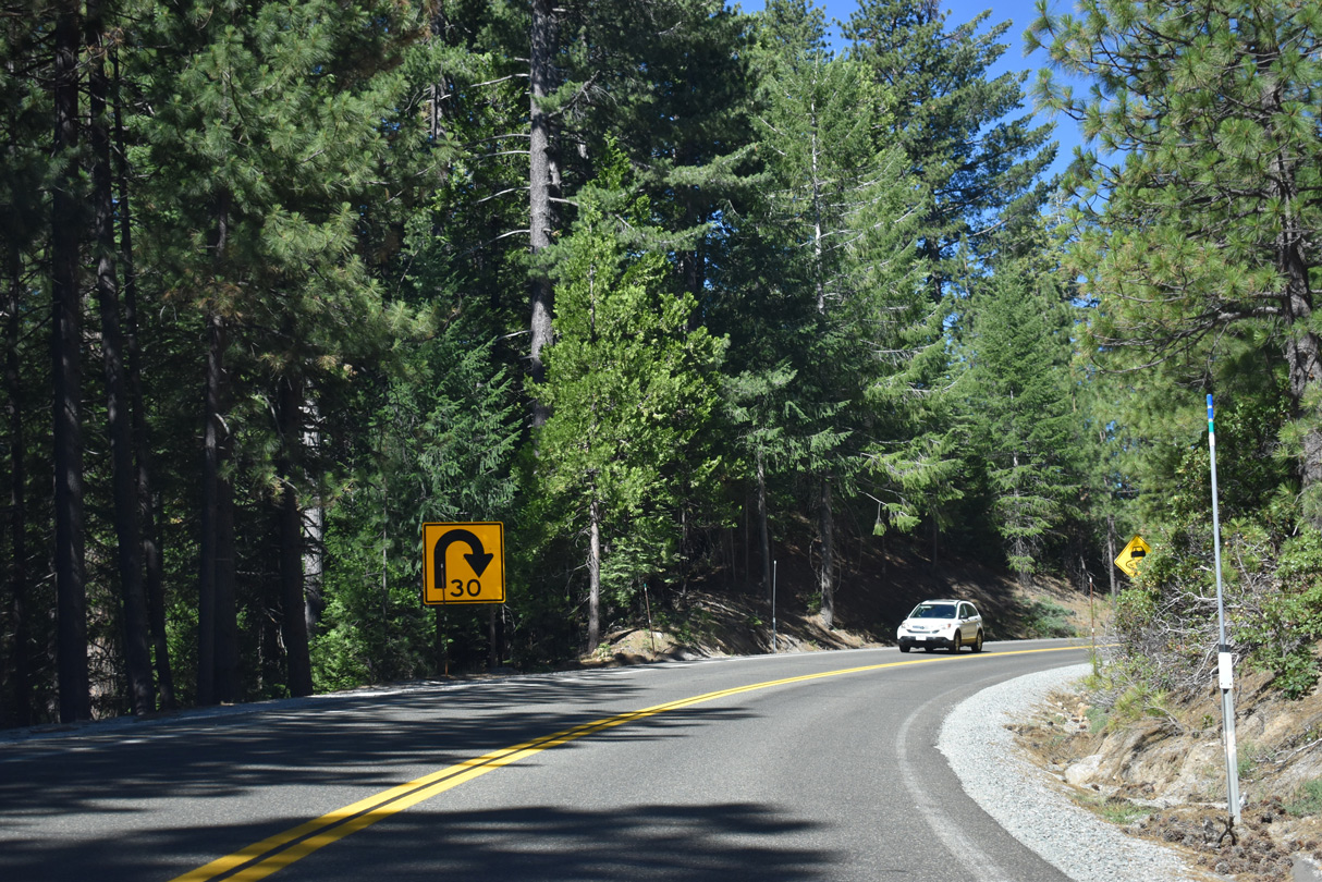
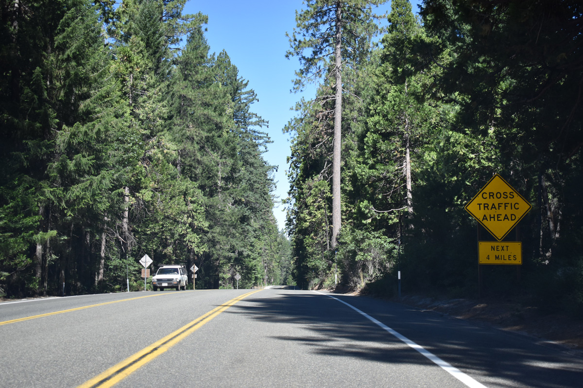
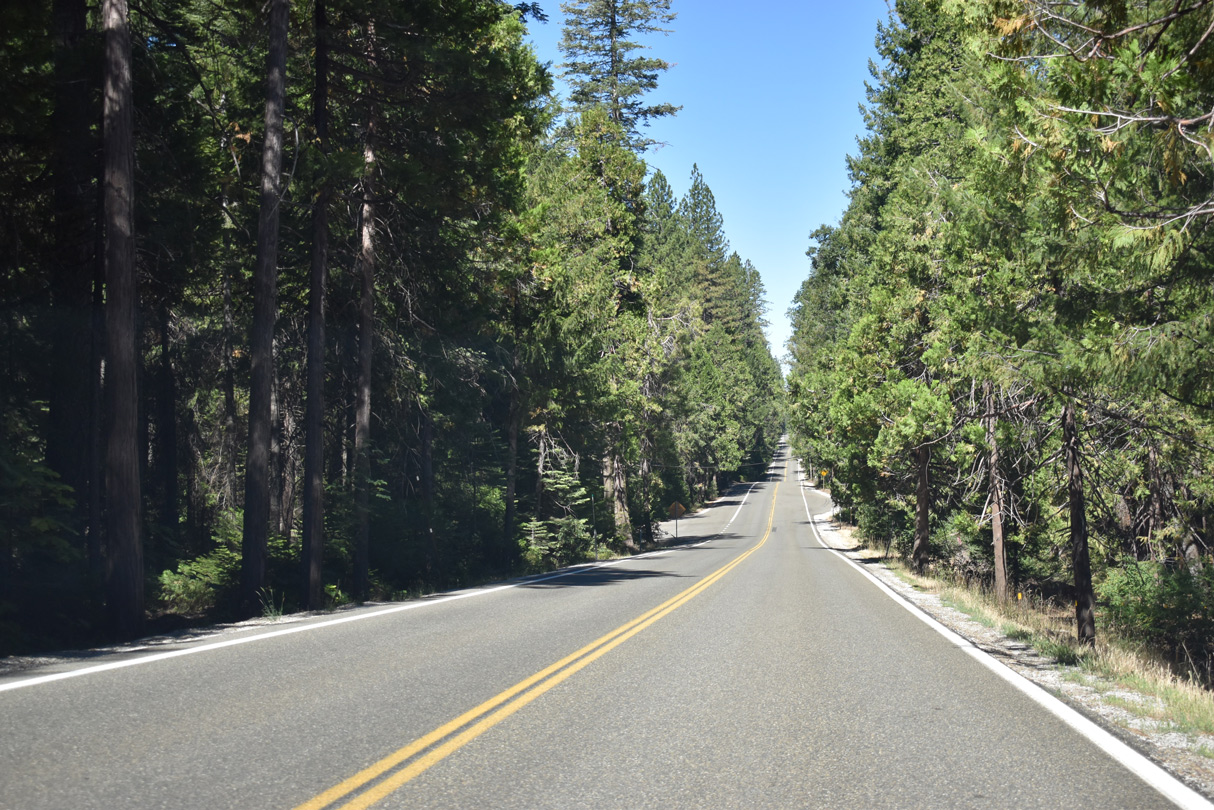
Advancing west through Tahoe National Forest, SR 20 traverses areas of Washington Ridge to mile marker 30.00.
07/11/18
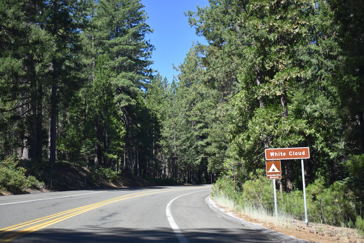
SR 20 westbound reaches White Cloud Campground.
07/11/18
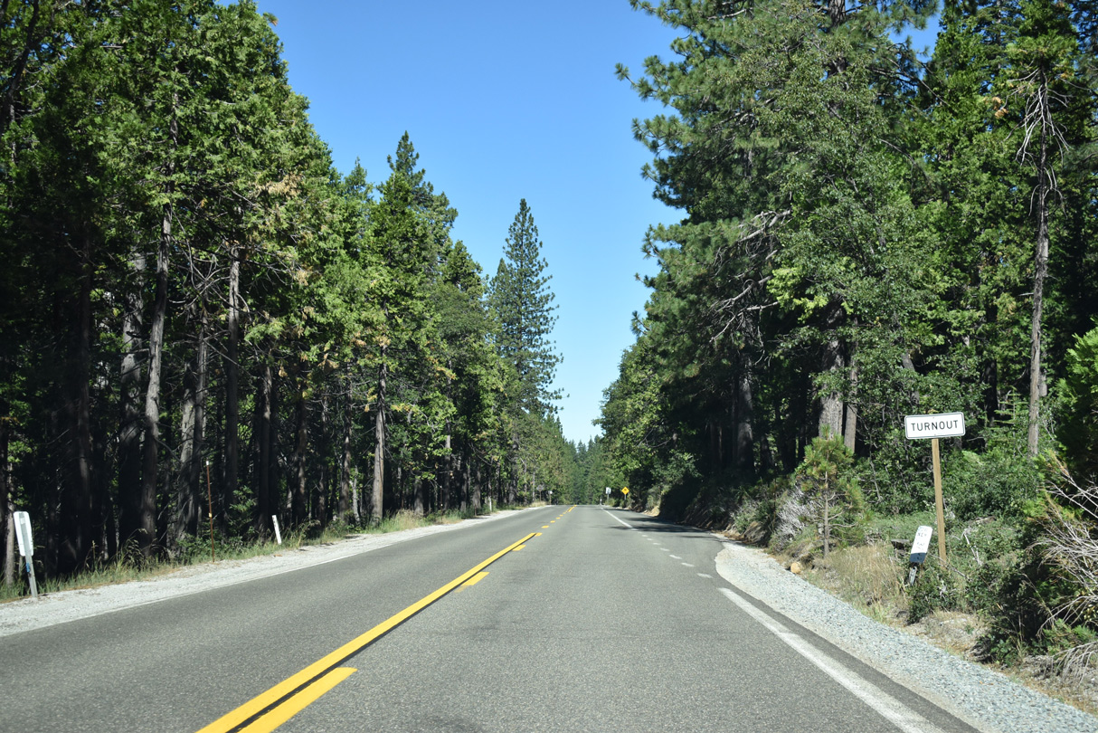
Continuing west from White Cloud Campground along Washington Ridge.
07/11/18
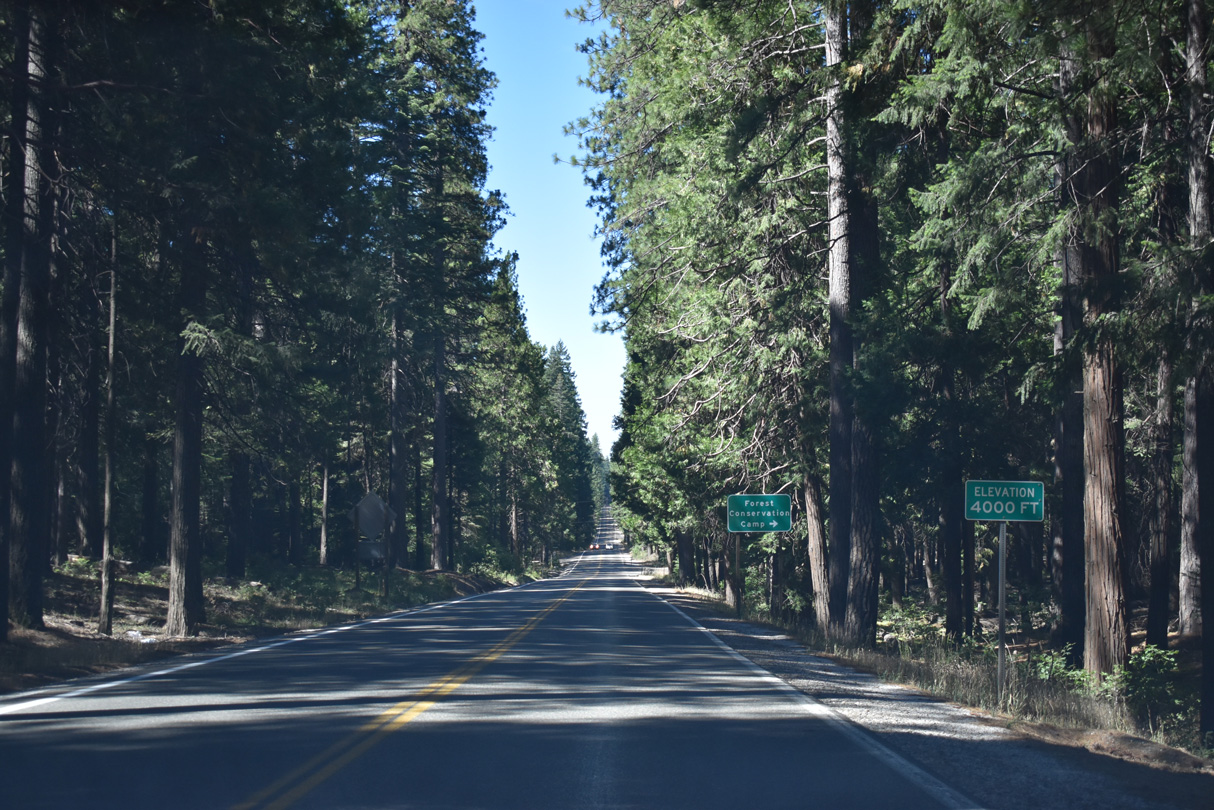
SR 20 lowers to 4,000 feet ahead of the turn off for Conservation Road.
07/11/18
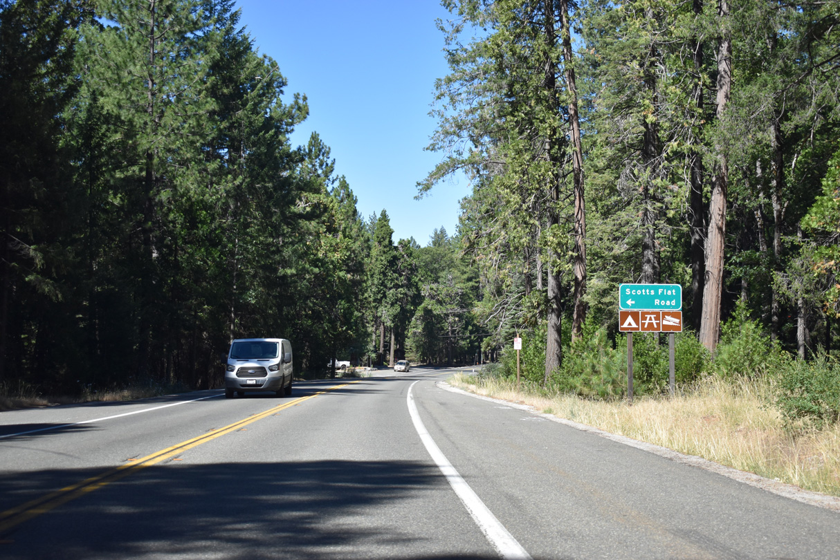
Scotts Flat Road stems south from SR 20 on Harmony Ridge to Scotts Flat Reservoir.
07/11/18
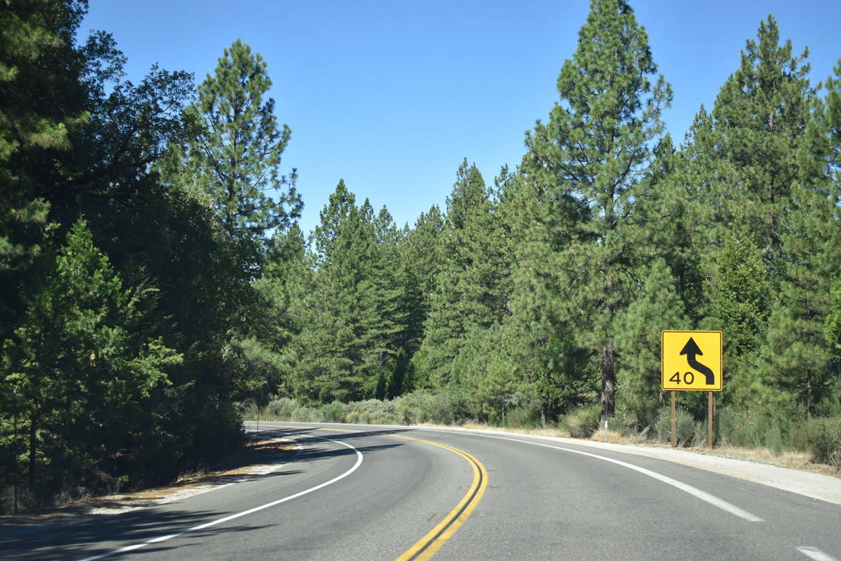
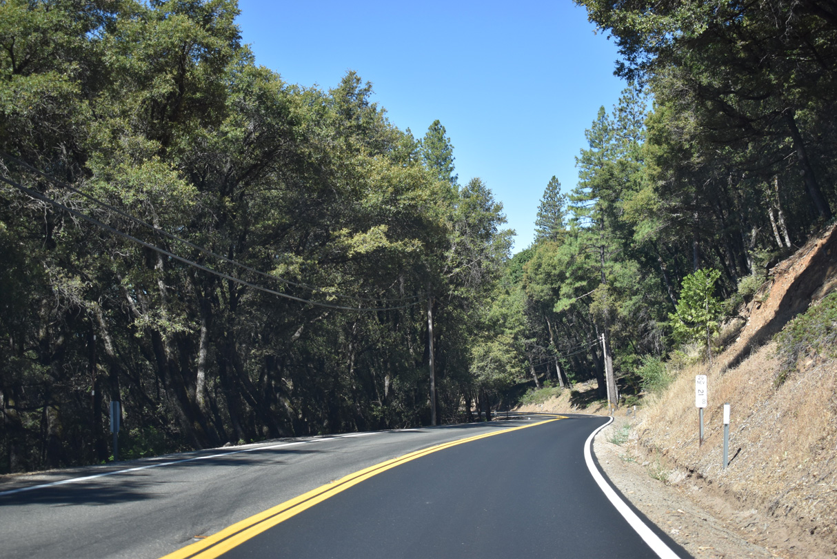
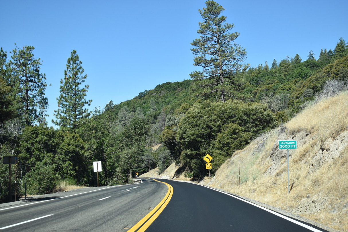
SR 20 gradually decreases in elevation from Harmony Ridge west to Nevada City.
07/11/18

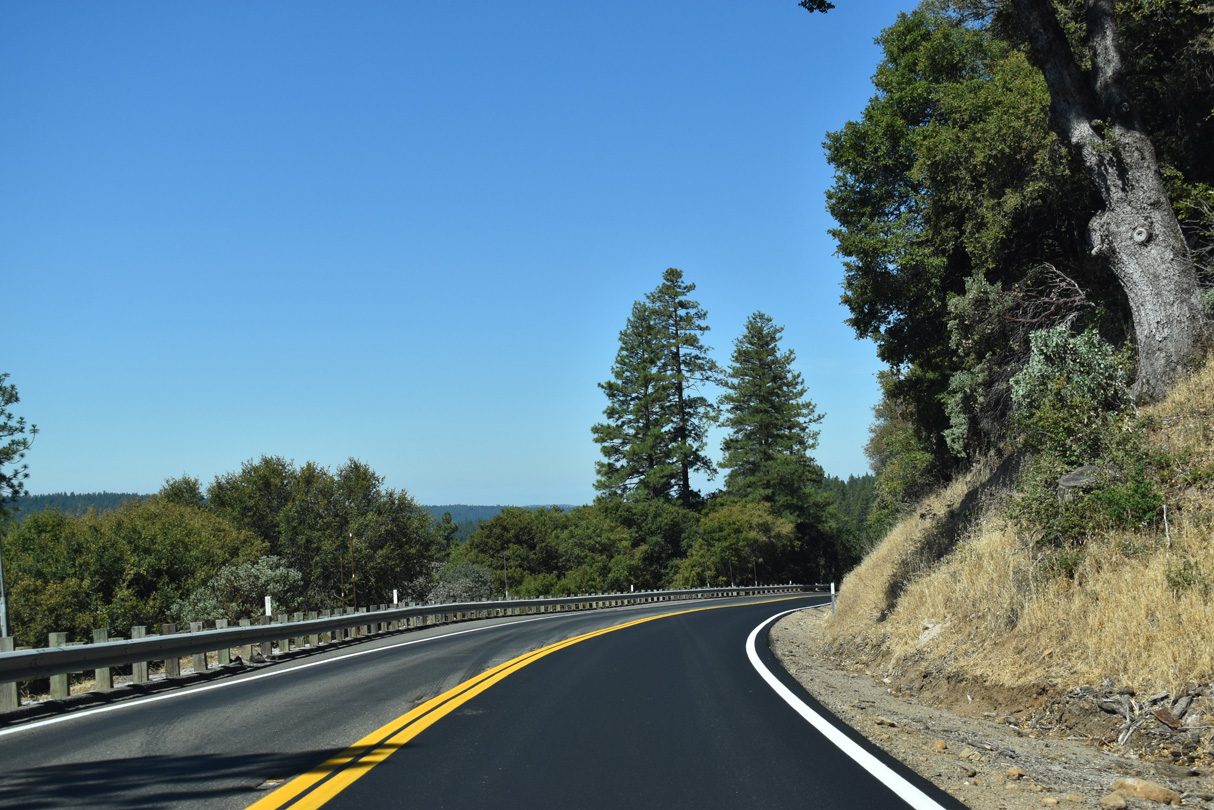
Curving south between Sugarloaf Mountain and Eagle Ravine, SR 20 expands to four lanes ahead of SR 49 and the Virginia City line.
07/11/18
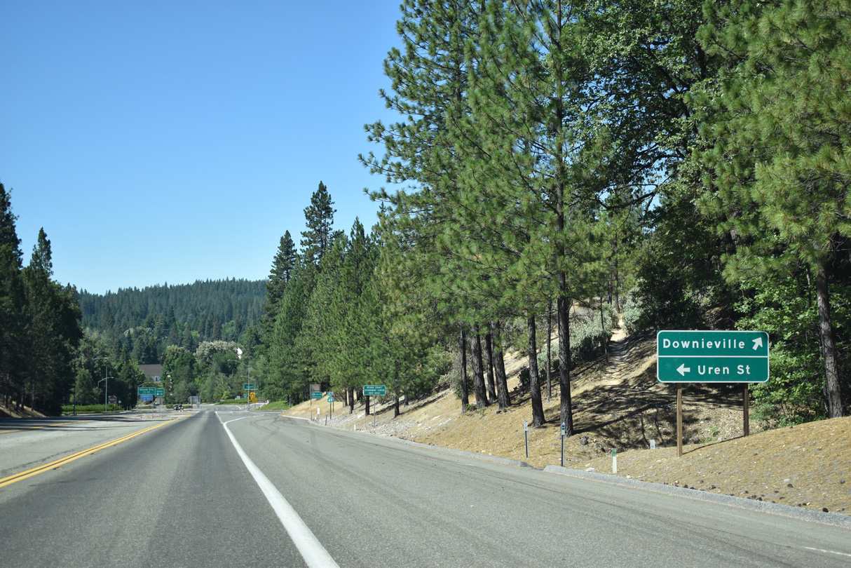
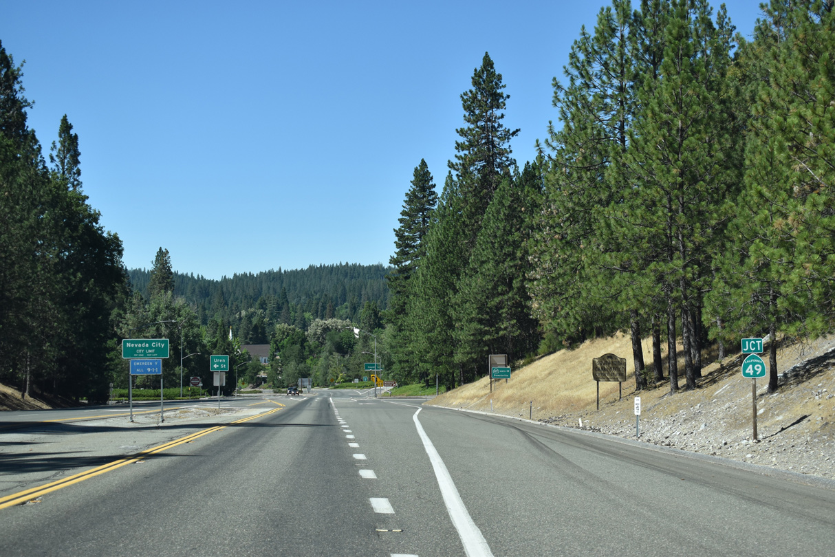
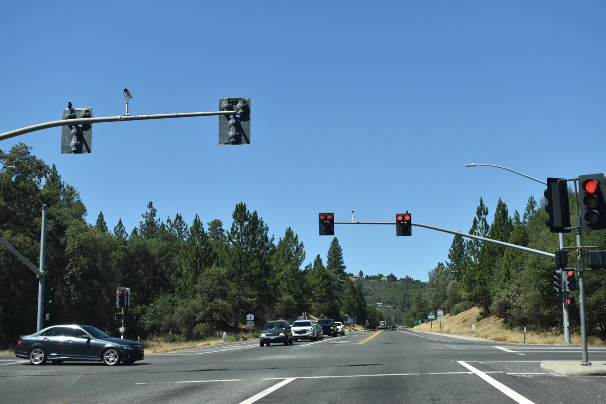
An at-grade intersection joins SR 20 west with Uren Street east and SR 49 north toward Downieville.
07/11/18
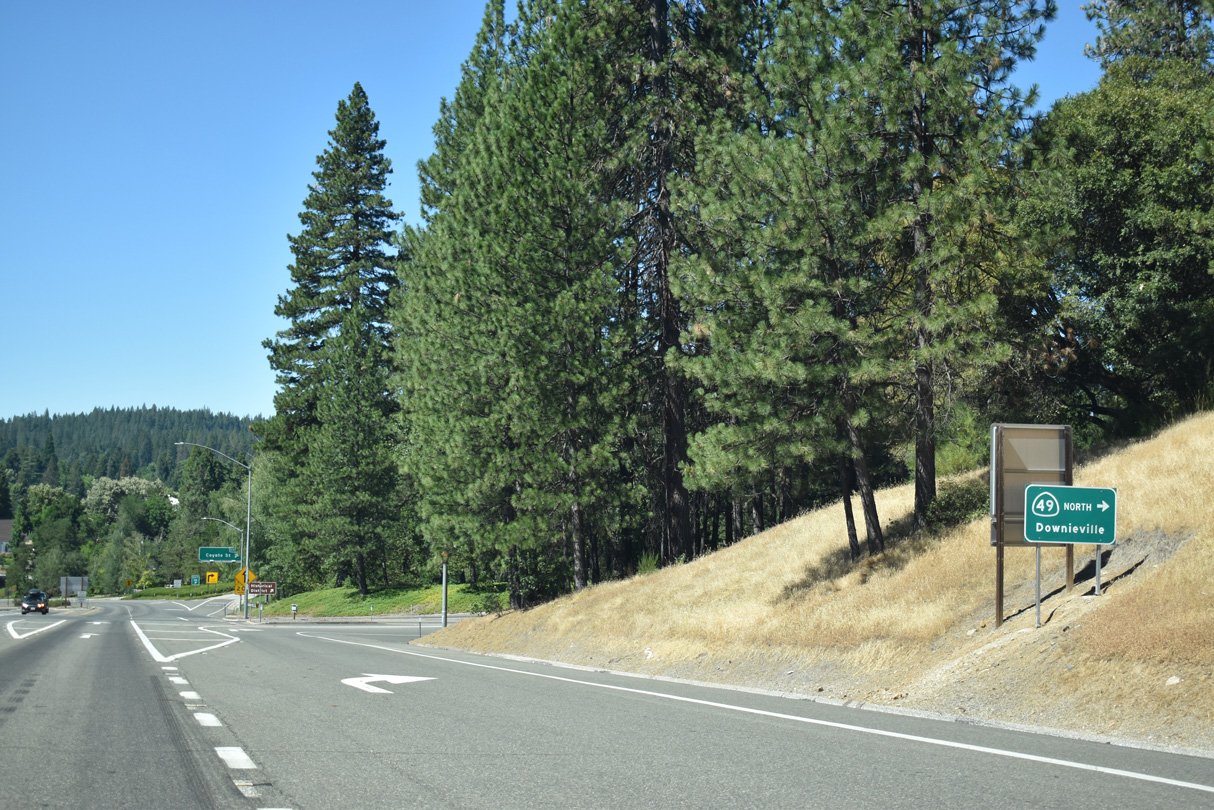
SR 49 travels 42 miles south from Downieville to combine with SR 20 west along the Golden Center Freeway through both Virginia City and Grass Valley.
07/11/18
West  South
South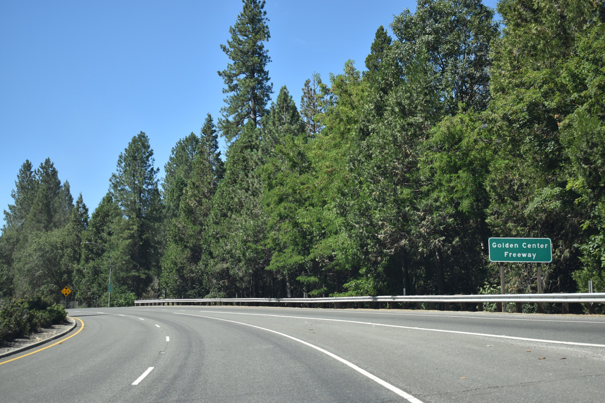
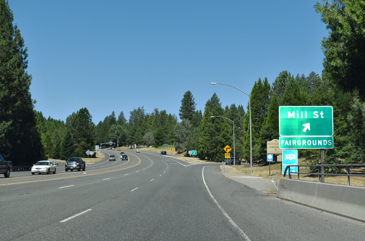
Constructed in the 1960s, the Golden Center Freeway leads SR 20 west & 49 south 5.1 miles to Empire Street in the city of Grass Valley.
07/11/18
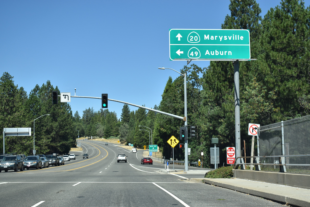
Leading away from SR 49 (Golden Center Freeway), westbound SR 20 meets Mill Street near the Nevada County Fairgrounds at a folded diamond interchange.
07/11/18
West
A grade separation takes Brighton Street across SR 20 west at this confirming marker.
07/11/18
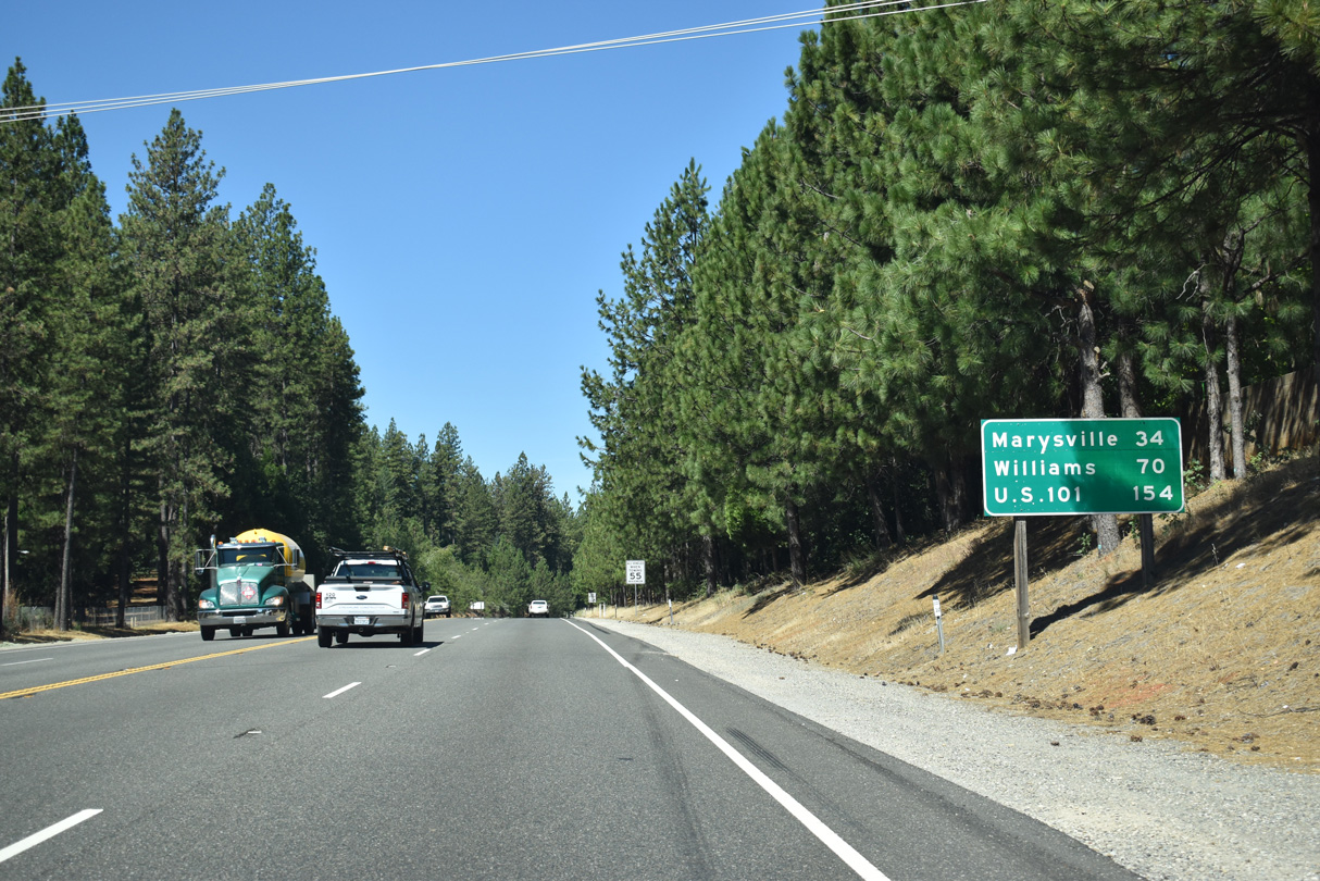
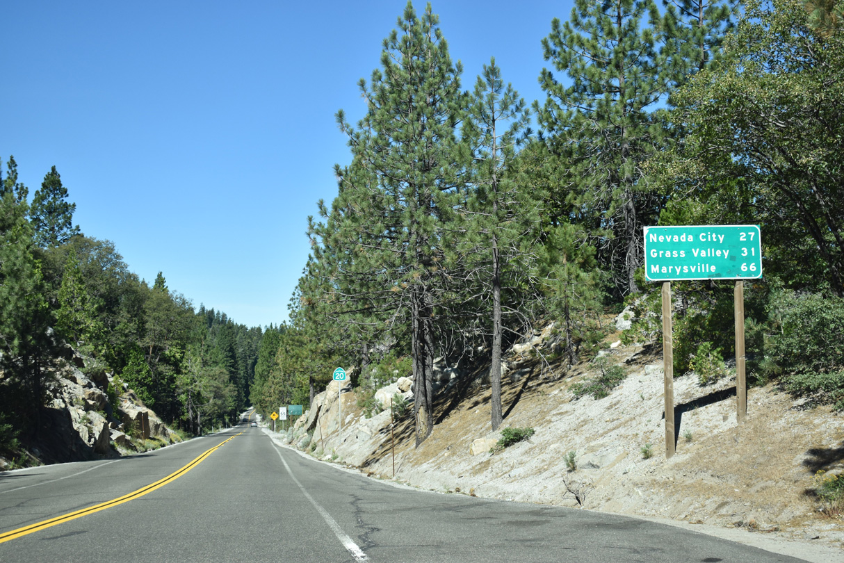
Marysville lies 34 miles to the west of Grass Valley via State Route 20.
07/11/18
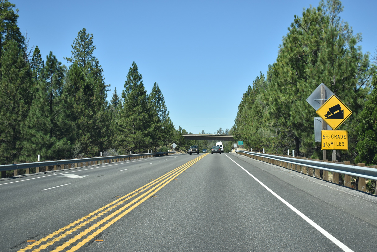
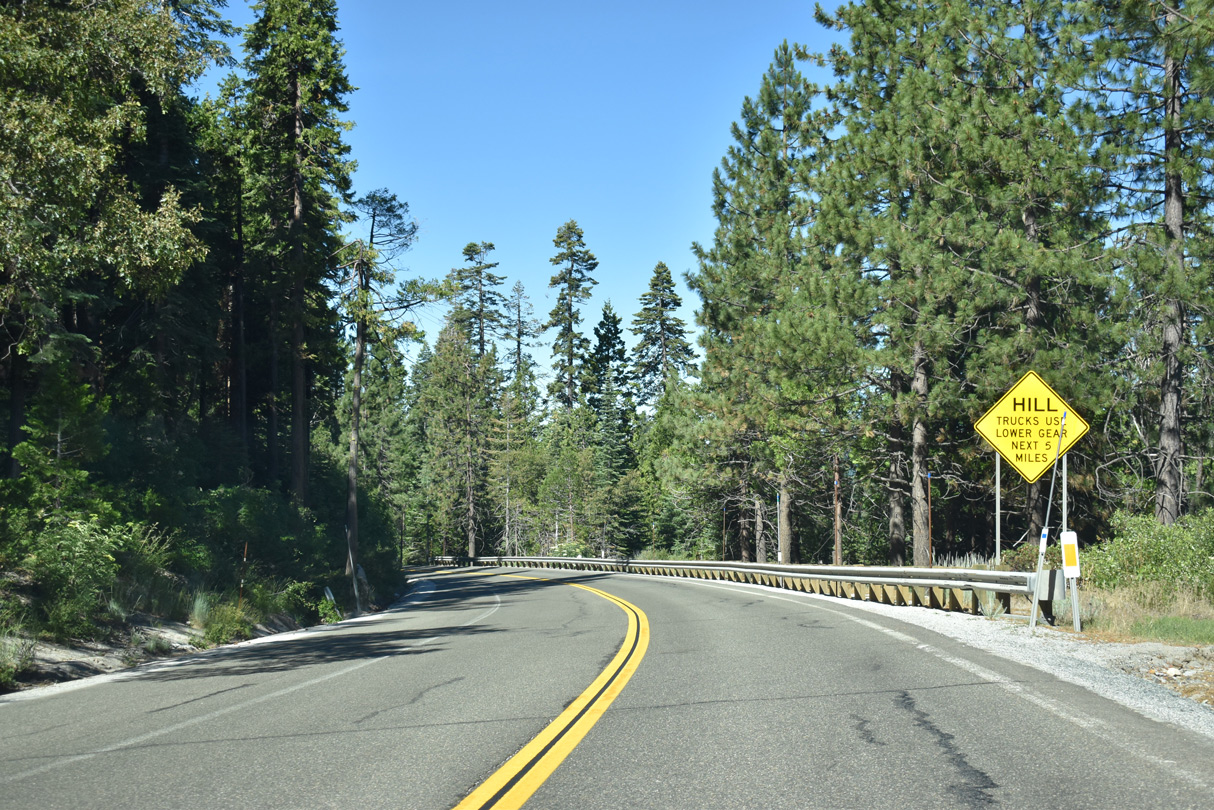
A grade separation takes Ponderosa Way across SR 20 at Deadmans Flat. West from here, SR 20 drops from around 2,300 feet above sea level along a 6% grade into the Central Valley.
07/11/18
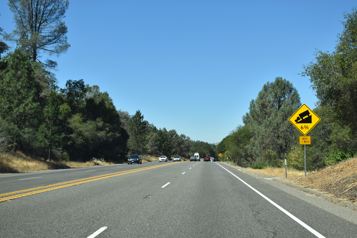
SR 20 remains an access controlled expressway west to Penn Valley. The state route passes over Rex Reservoir Road here.
07/11/18
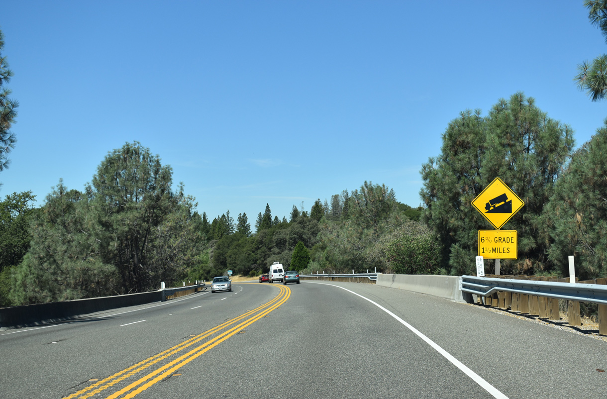
Entering Penn Valley, truckers along SR 20 west are advised of the 6% grade preceding the Yuba County line. The state route drops from 1,400 feet to 900 feet in elevation along the ensuing stretch.
07/11/18
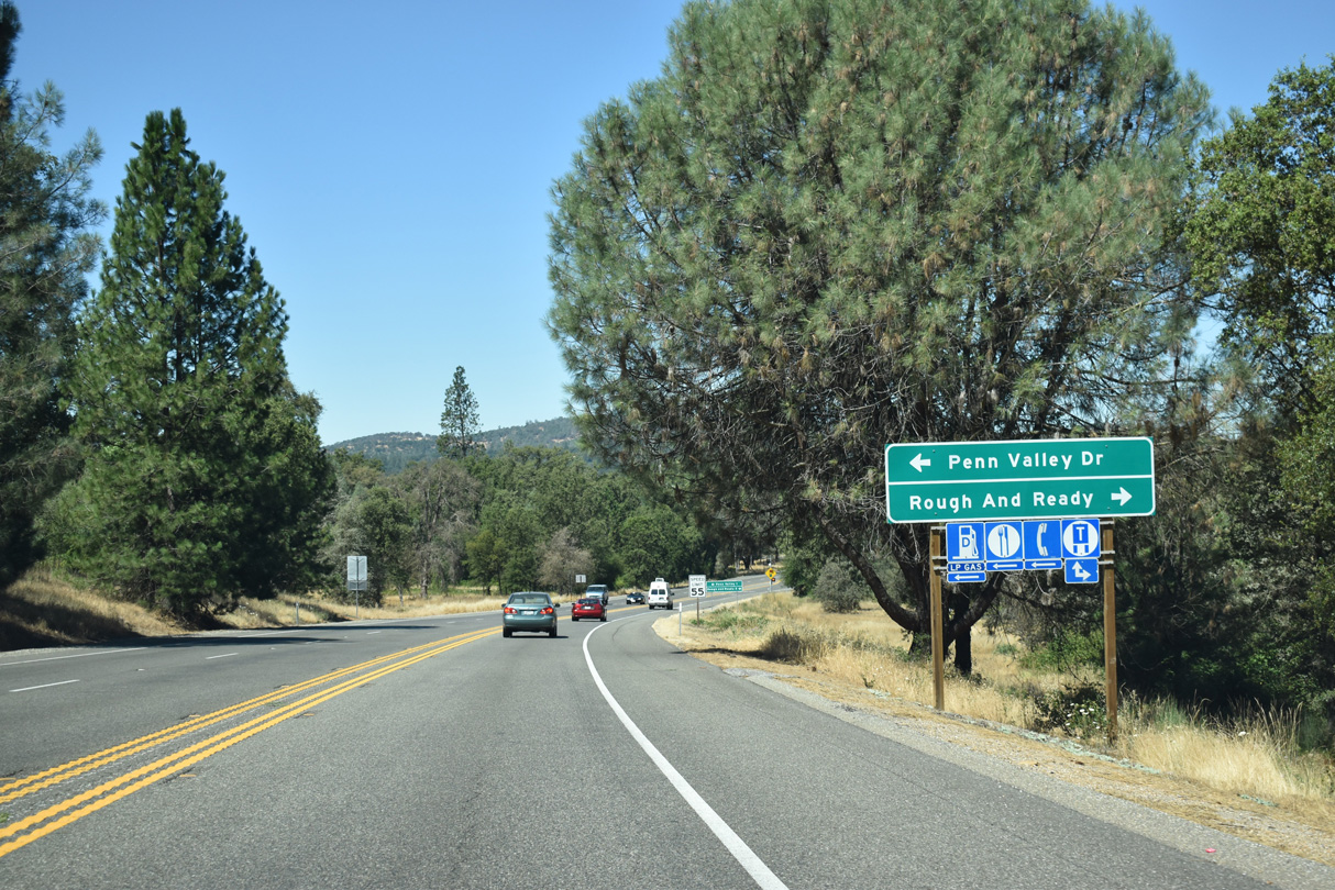
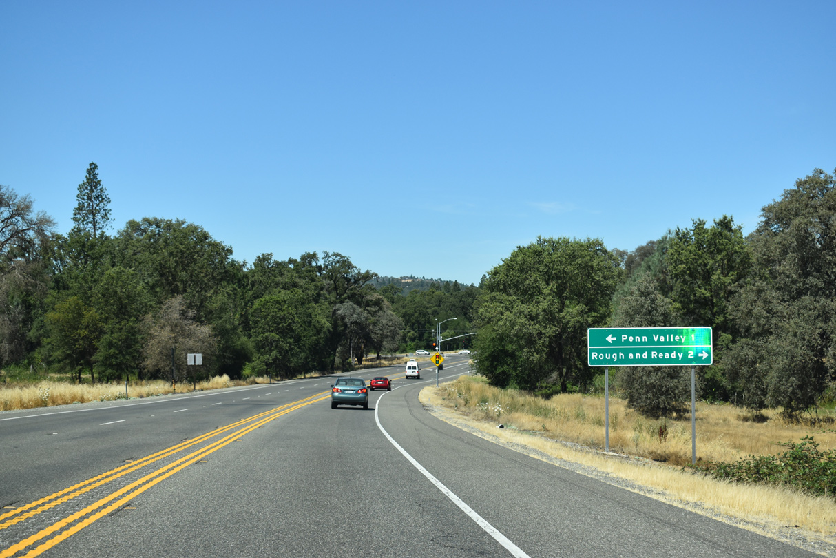
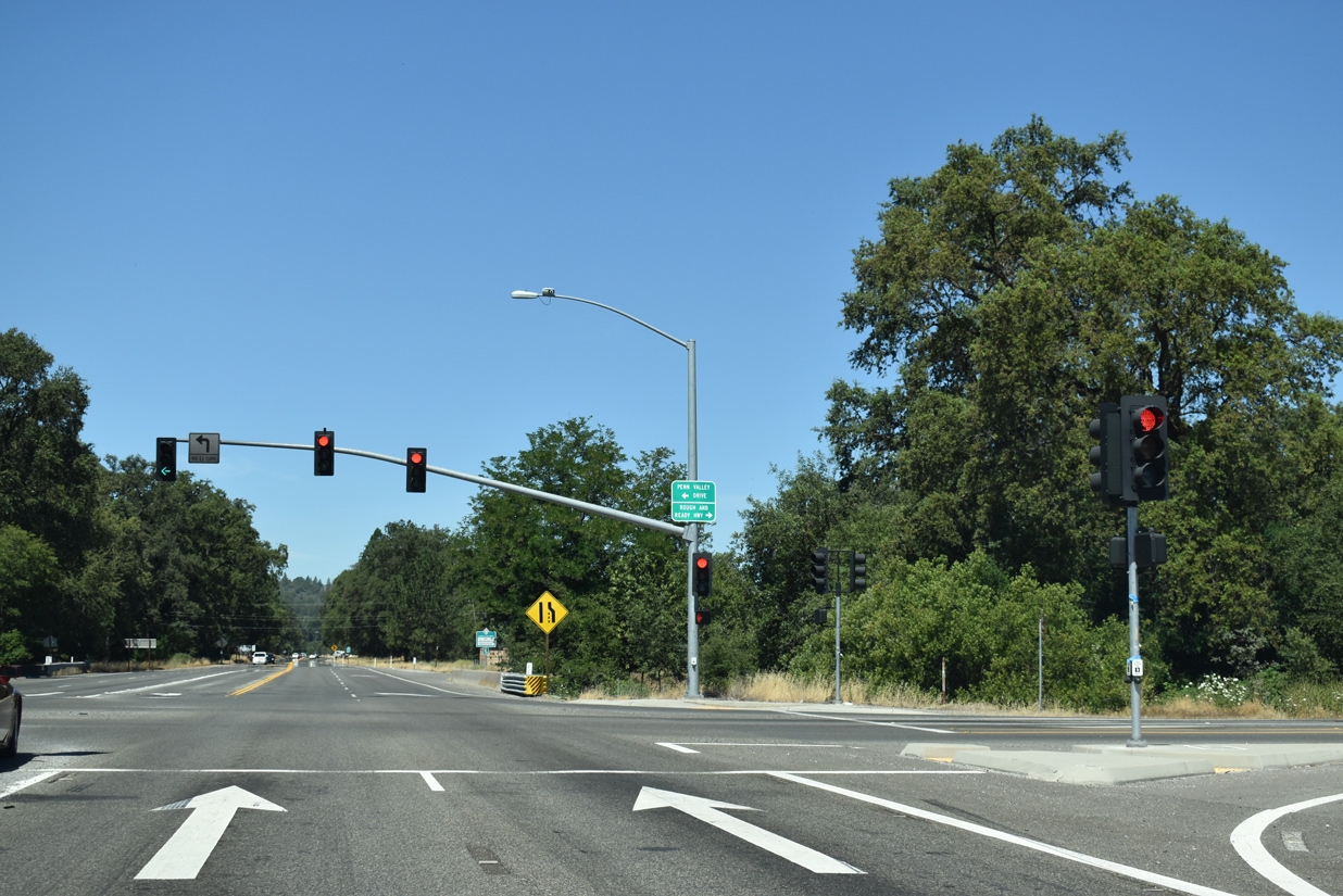
Penn Valley Drive north and Rough and Ready Highway south come together at a signalized intersection with SR 20 outside Penn Valley.
07/11/18
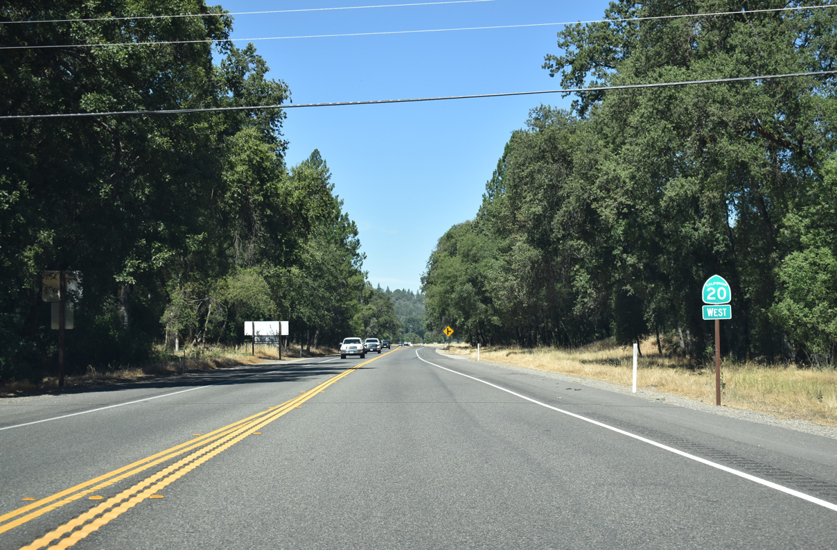
SR 20 travels north of the community of Penn Valley along a controlled access bypass.
07/11/18
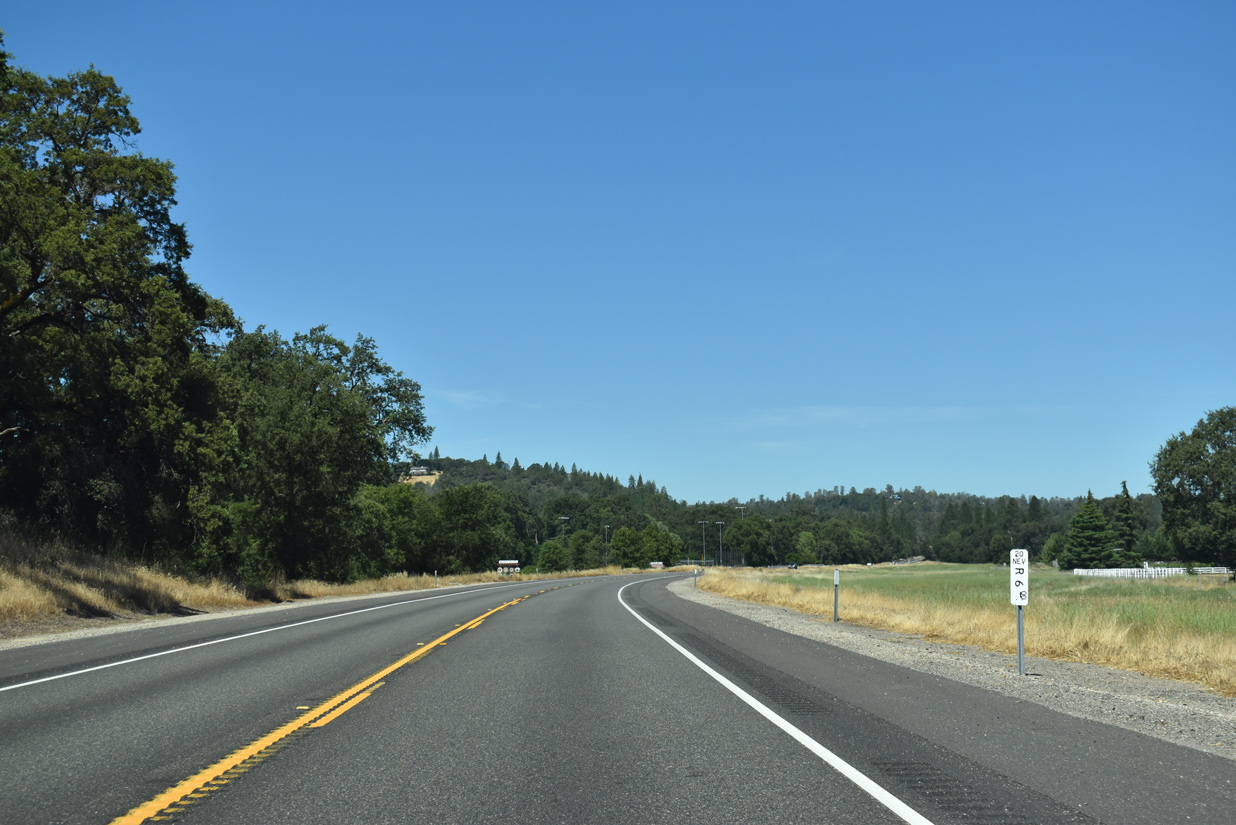
Nevada County mile post R 6.00 stands along SR 20 west near Squirrel Creek.
07/11/18
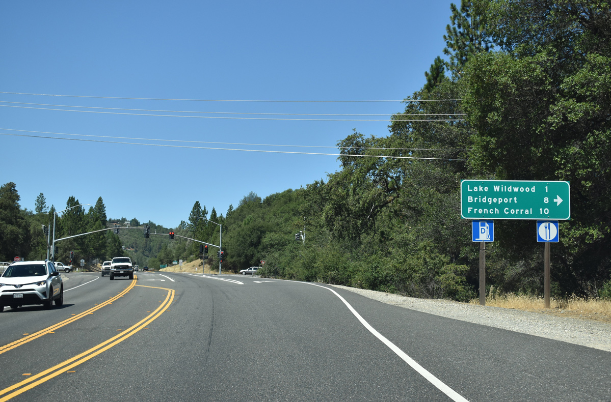
Pleasant Valley Road winds north from SR 20 at Penn Valley to the community of Lake Wildwood, Bridgeport on the Yuba River and unincorporated French Corral.
07/11/18
Pleasant Valley Road links SR 20 with adjacent Penn Valley Drive to the south.
07/11/18
The two lane expressway along SR 20 parallels Penn Valley Drive (old SR 20) just to the north. The two roadways converge one mile west of Pleasant Valley Road.
07/11/18
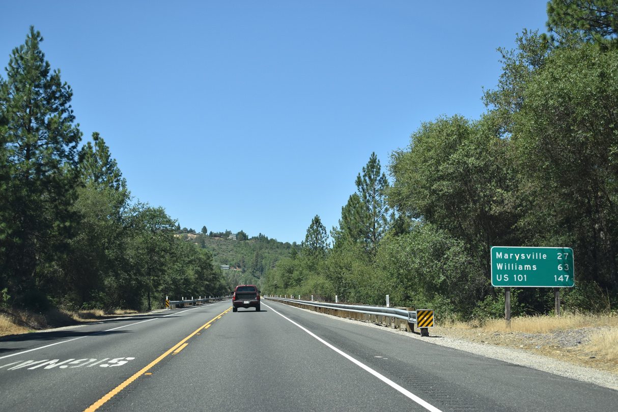
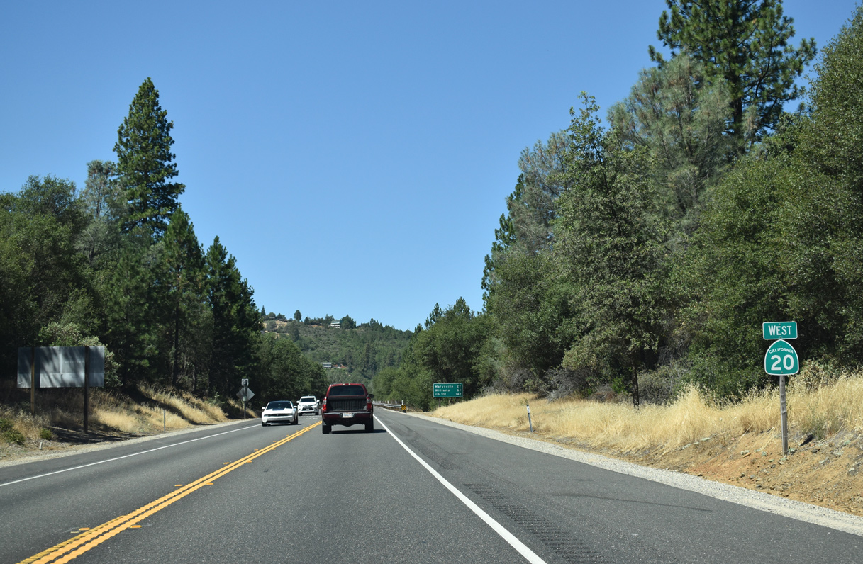
Marysville lies 27 miles west of Penn Valley. Williams, where SR 20 meets I-5, follows in 63 miles.
07/11/18
Westbound SR 20 at Poker Flat Road and Nevada County mile marker 3.00.
07/11/18
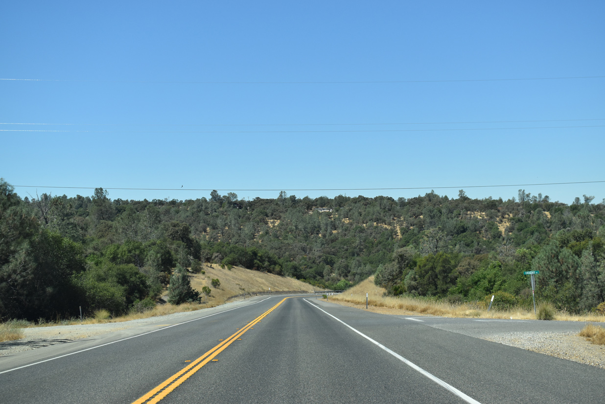
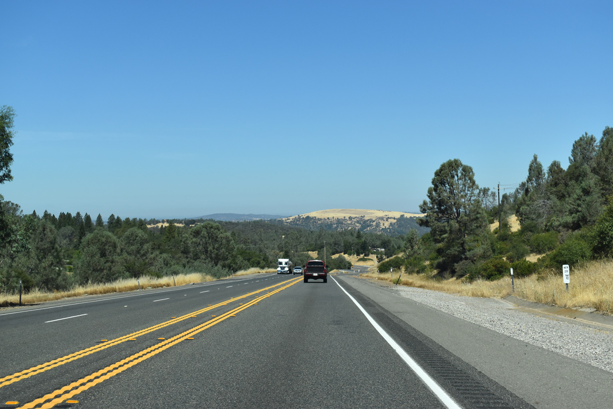
A number of S-curves lead SR 20 west through Slacks Ravine. Portions of the former alignment of SR 20 remain for local access, including a segment off of Crescenzi Drive.
07/11/18
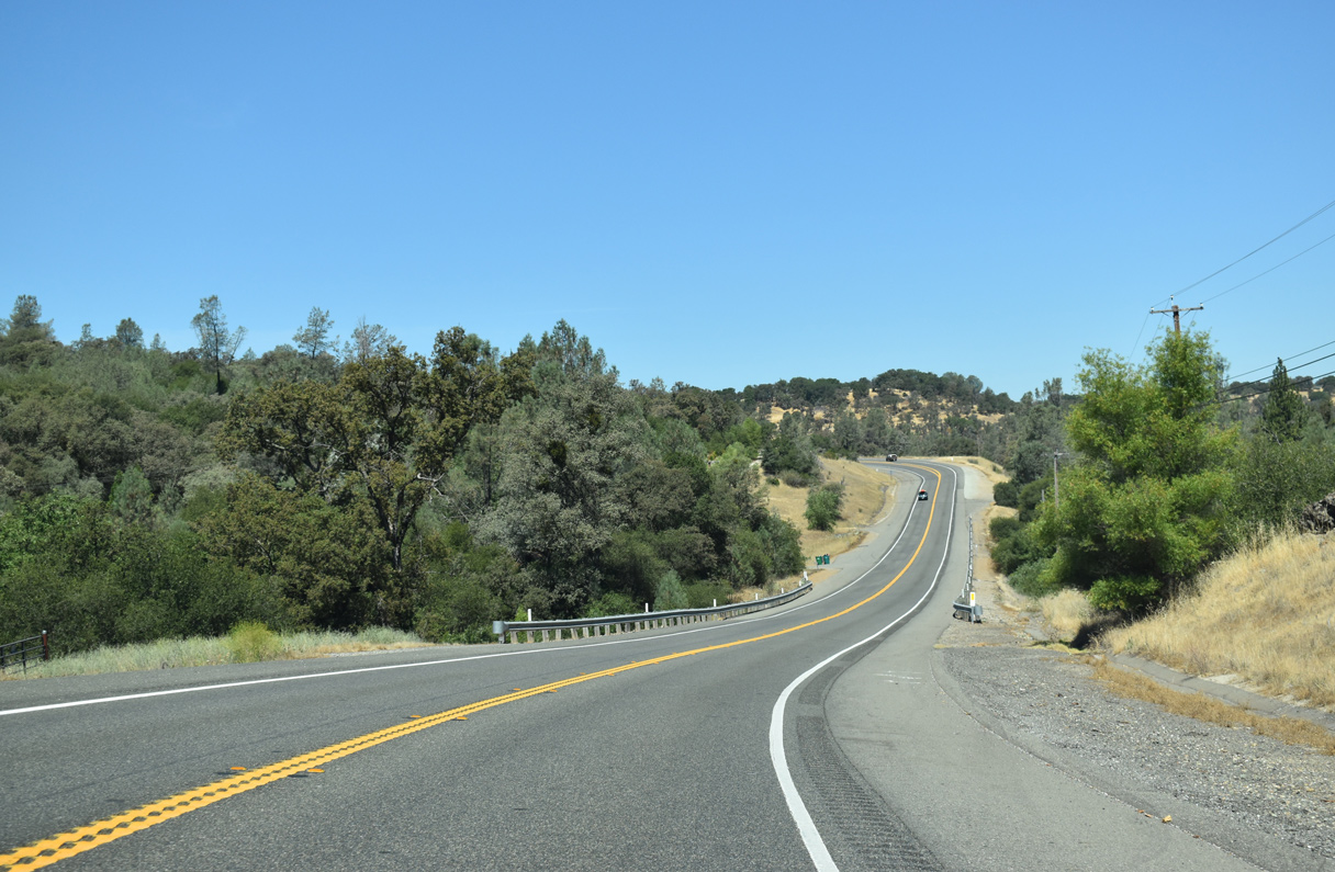
Winding west between Riffle Box Ravine and Peardon Hill along SR 20.
07/11/18
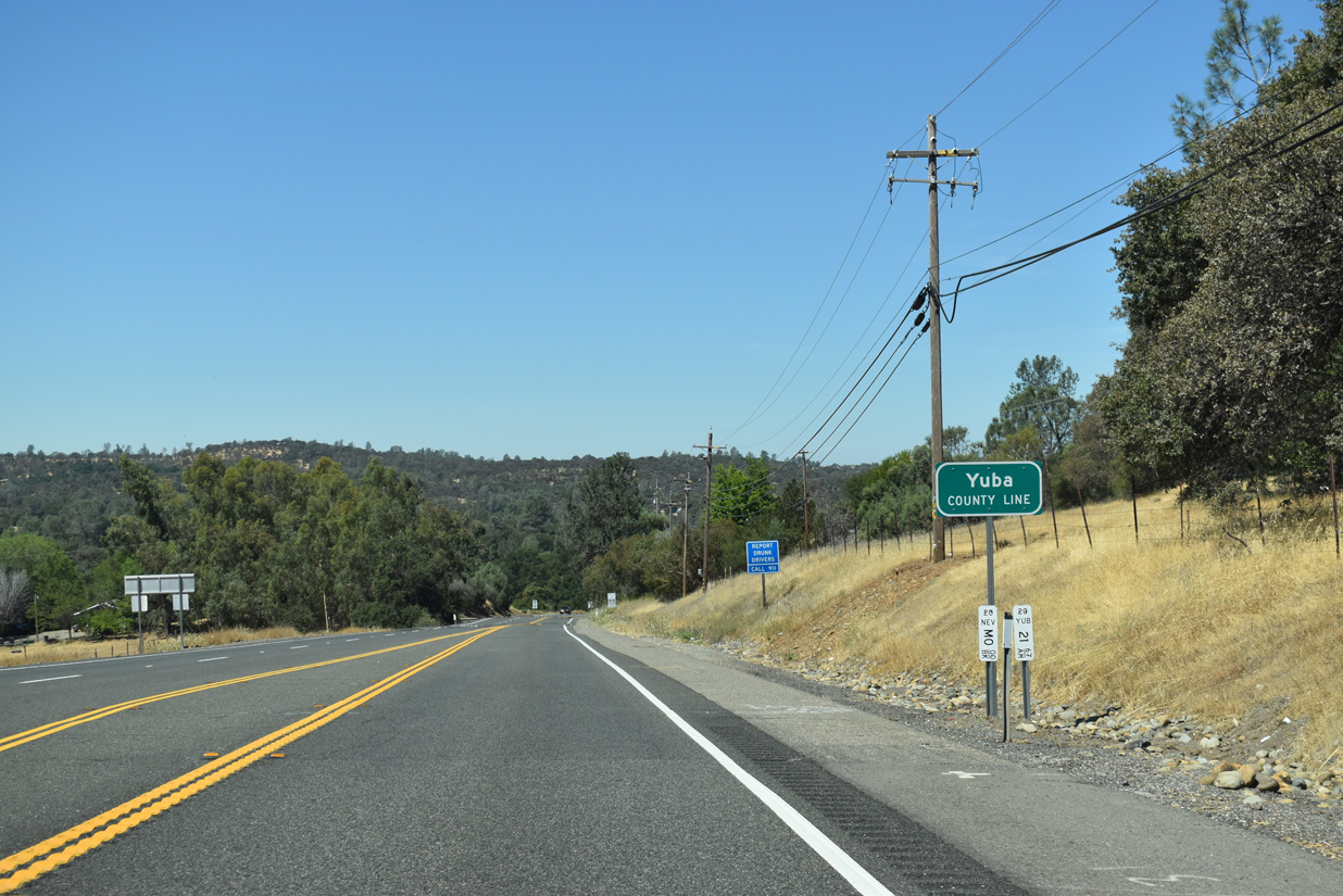
State Route 20 crosses the Yuba County line westbound between Mooney Flat Road and Meade Hill.
07/11/18
References:
- "Dorsey Drive interchange opens." The Union (Nevada County, CA), November 11, 2014.
- "Dorsey Drive Interchange named 2014 Outstanding Construction Project of the Year." The Union (Nevada County, CA), February 28, 2015.
Photo Credits:
- ABRoads: 07/11/18
Connect with:
Page Updated Wednesday March 20, 2019.