
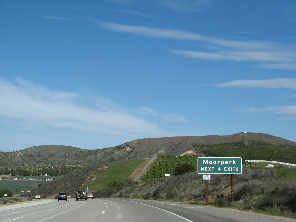
State Route 23
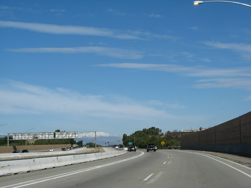
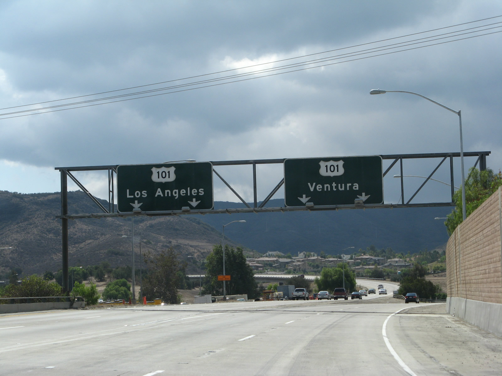
California 23 is a north-south state route between California 1 (Pacific Coast Highway), west of Malibu, and California 126 in Fillmore, briefly merging with U.S. 101 at Thousand Oaks in Ventura County. The section of state route between U.S. 101 and California 118 has been constructed to freeway standards and is known as the Moorpark Freeway.
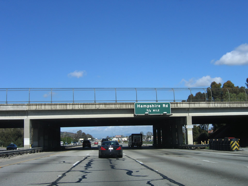
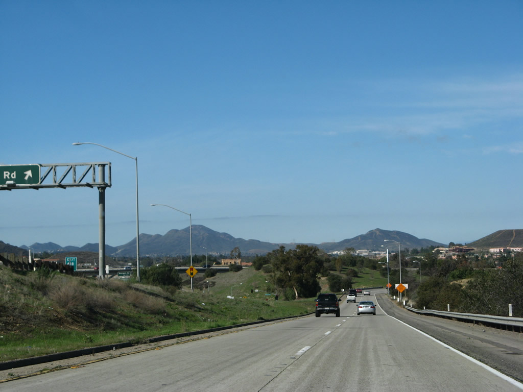
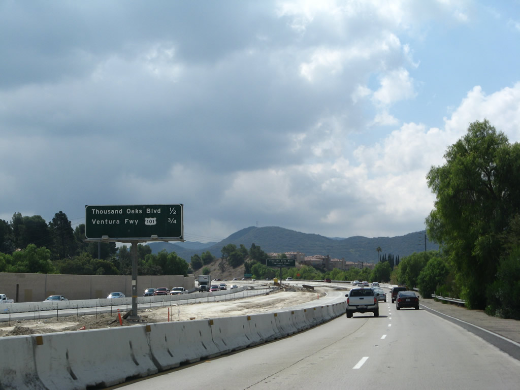
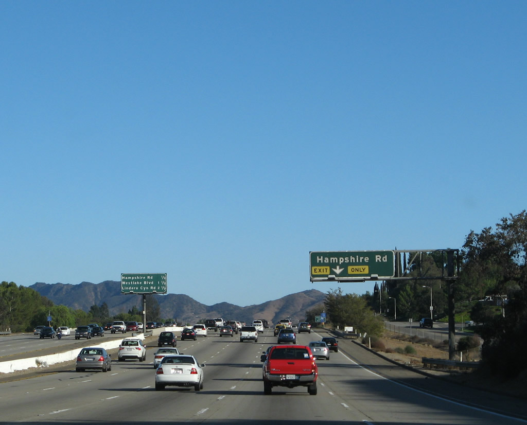
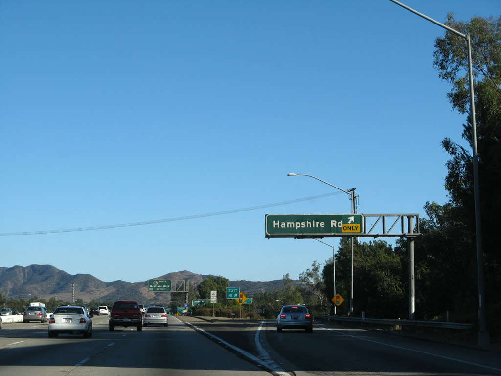
The next exit along U.S. 101 (Ventura Freeway) and California 23 north is Exit 41, Hampshire Road.
12/23/04
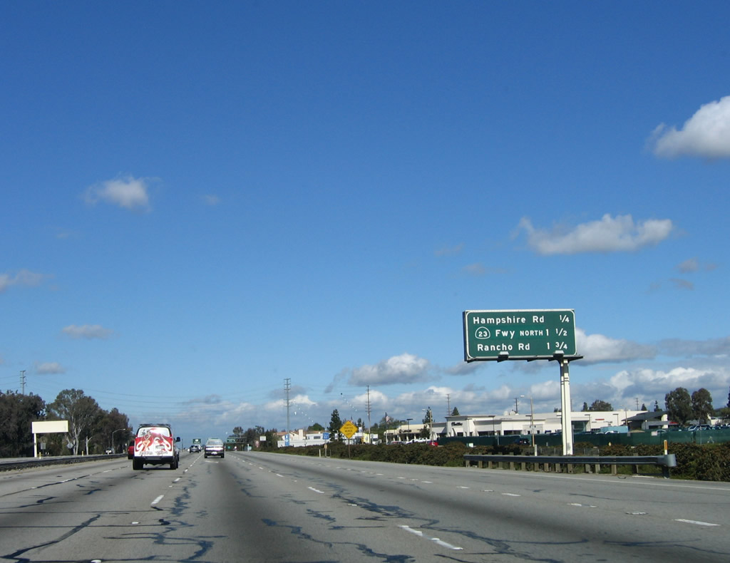
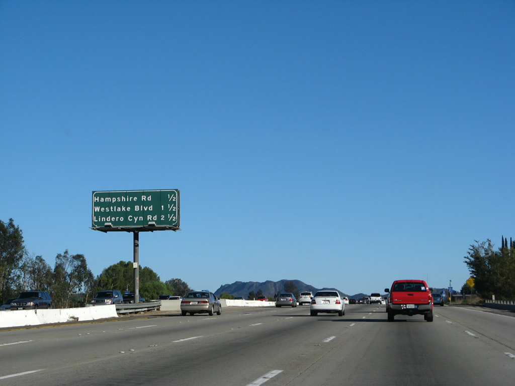
This mileage sign provides the distance to the next three exits along U.S. 101 (Ventura Freeway) north: Exit 41, Hampshire Road; Exit 43A, California 23 freeway north to Moorpark and Fillmore; and Exit 43B, Rancho Road.
02/02/08
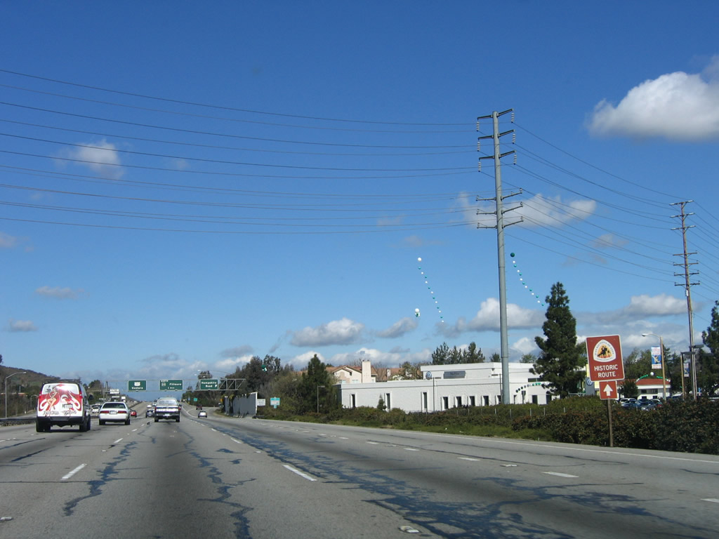
An auto tour sign for the Juan Bautista de Anza Trail is posted on U.S. 101 north.
03/18/06
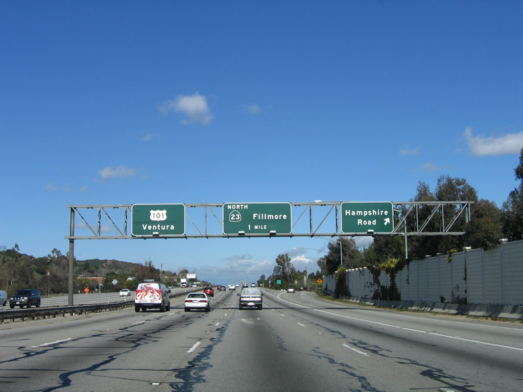
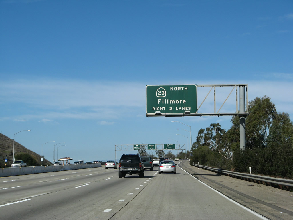
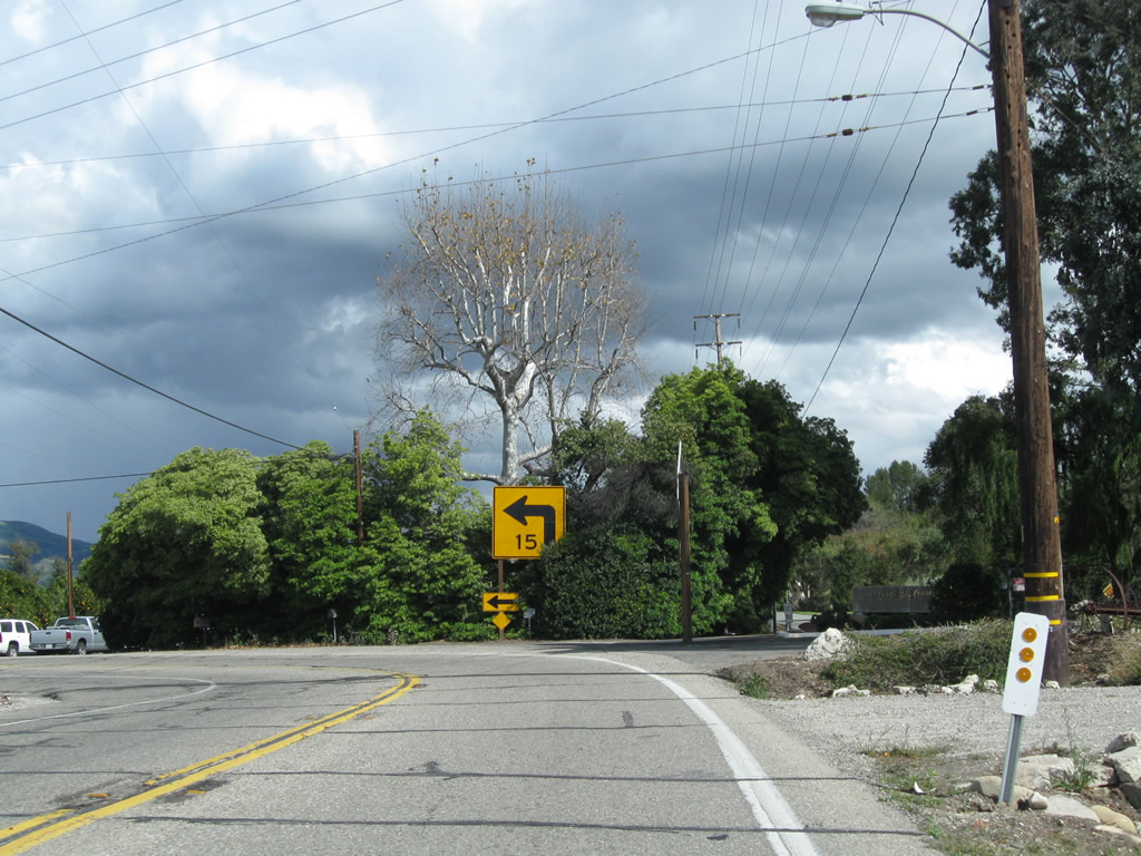
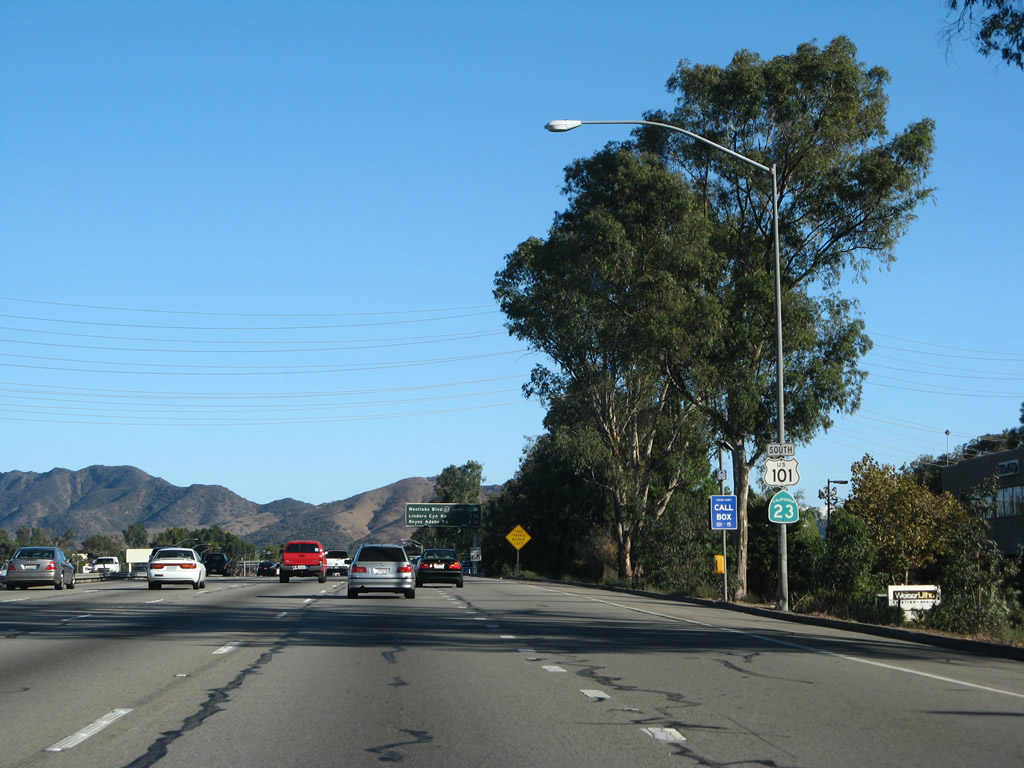
Northbound U.S. 101 (Ventura Freeway) and California 23 reach Exit 41, Hampshire Road. The next off-ramp is for Exit 43A, California 23 freeway north to Fillmore.
03/18/06
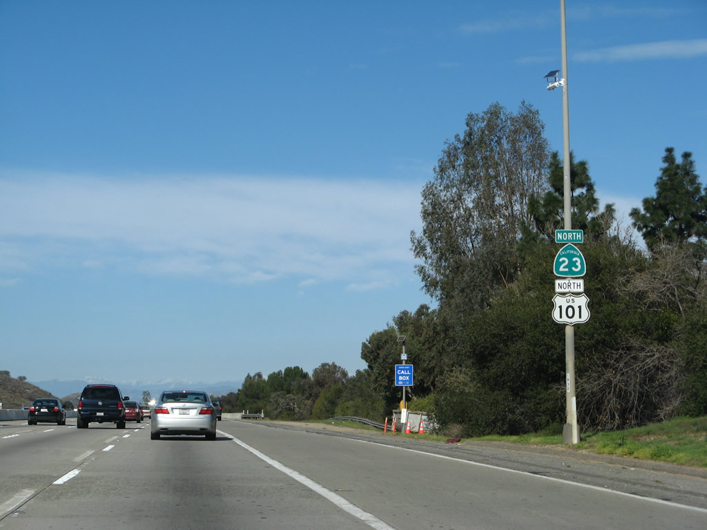
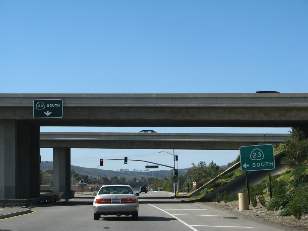
California 23 takes precedence over U.S. 101 in this reassurance shield assembly along northbound U.S. 101 (Ventura Freeway) and California 23 prior to Exit 43A, California 23 freeway north.
02/02/08
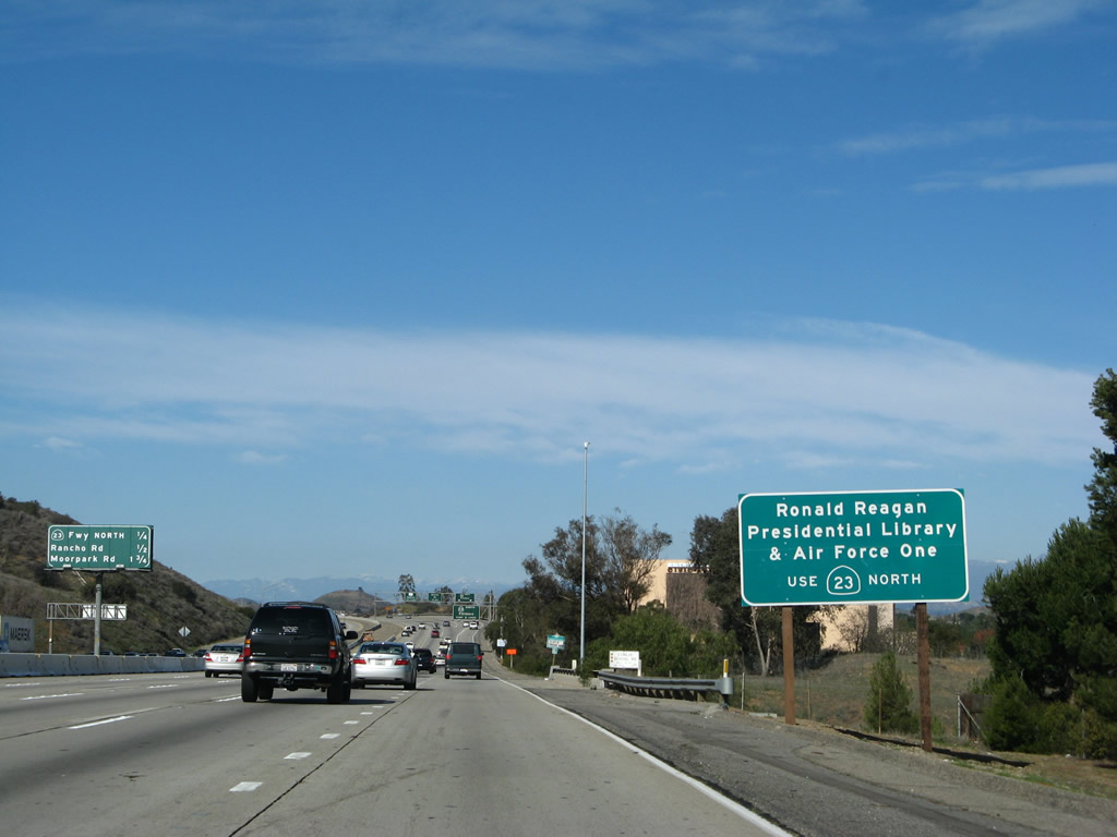
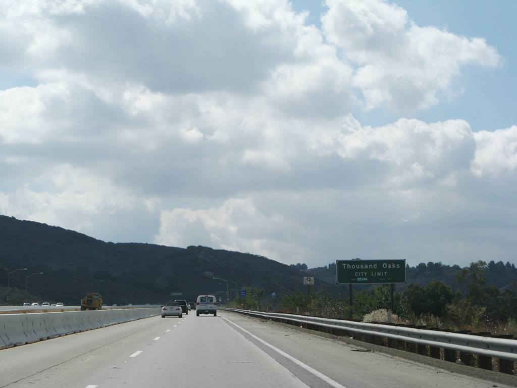
Use California 23 north to theRonald Reagan Presidential Libraryin Simi Valley. In October 2005, President Reagan's Air Force One was permanently opened for the public to see at the library.
02/02/08
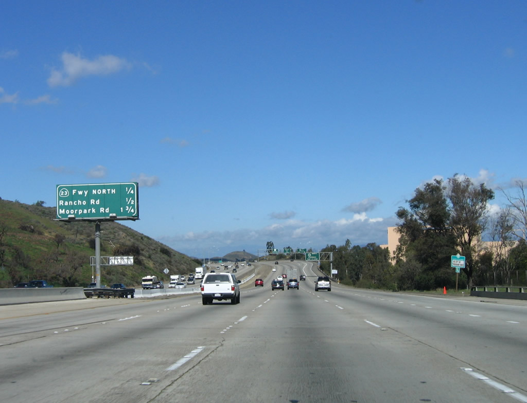
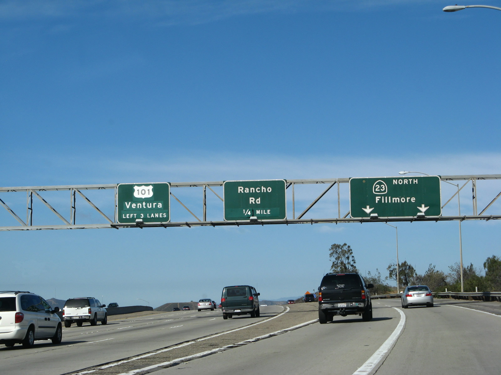
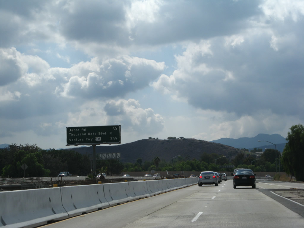
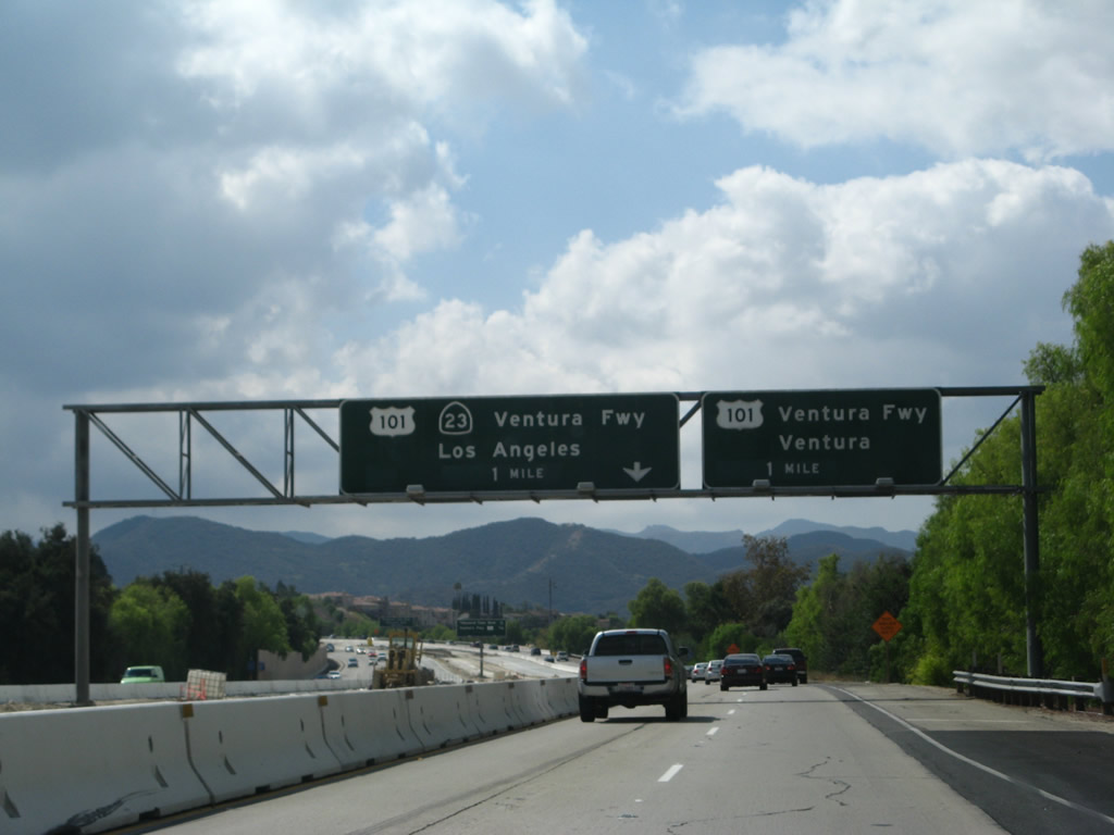
This mileage sign provides the distance to the next three exits along U.S. 101 (Ventura Freeway) north: Exit 43A, California 23 north to Moorpark and Fillmore; Exit 43B, Rancho Road; and Exit 44, Moorpark Road.
02/02/08
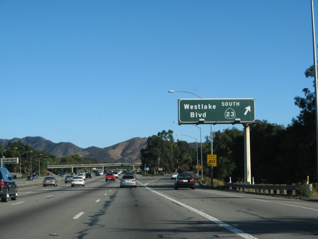
The right two lanes of northbound U.S. 101 (Ventura Freeway) will connect to California 23 north at Exit 43A. Note that the exit utilizes the far right lane as an exit-only lane, and the second lane from the right is an "optional" lane that permits either exit onto the California 23 freeway or remaining on U.S. 101 northbound.
02/02/08
Northbound U.S. 101 (Ventura Freeway) reaches Exit 43A, California 23 (Moorpark Freeway) north. Again note the variation in pavement color to differentiate through traffic from exit lanes. Also notice that the entire U.S. 101 through traffic sign has been overlaid with a new shield, control city, and number of lanes for through traffic.
02/02/08
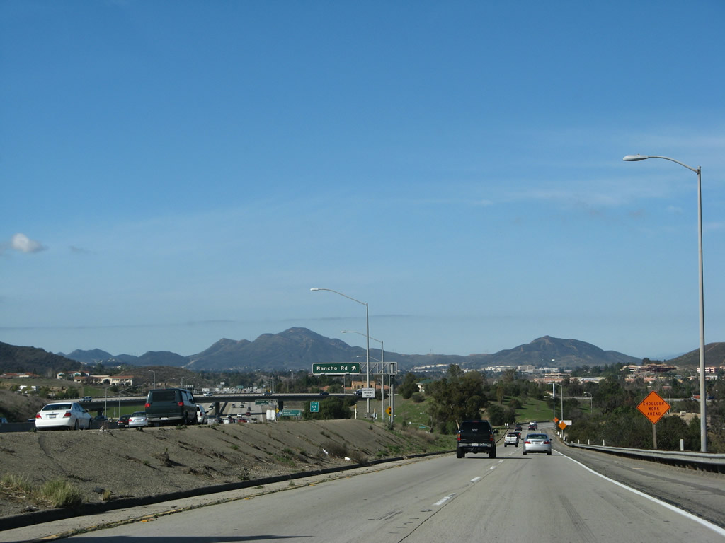
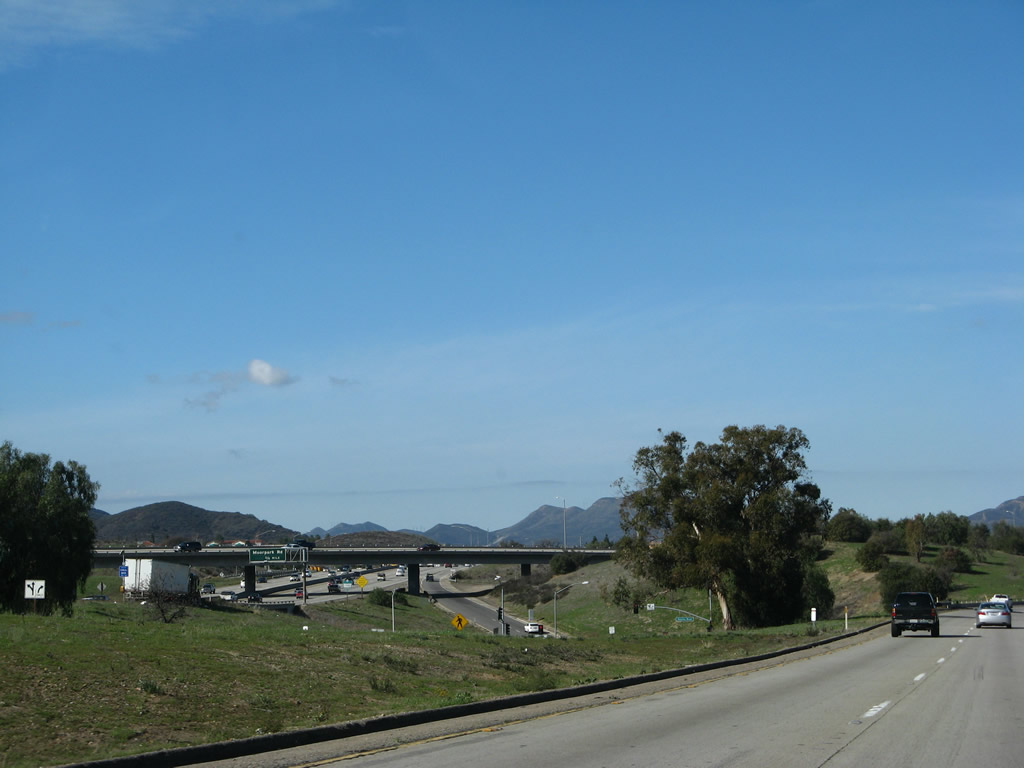
A two-lane transition ramp carries California 23 from U.S. 101 (Ventura Freeway) onto the Moorpark Freeway. The ramp is designed to avoid the interchange between U.S. 101 and Rancho Drive in Thousand Oaks.
02/02/08
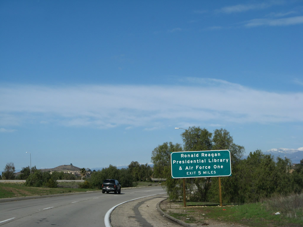
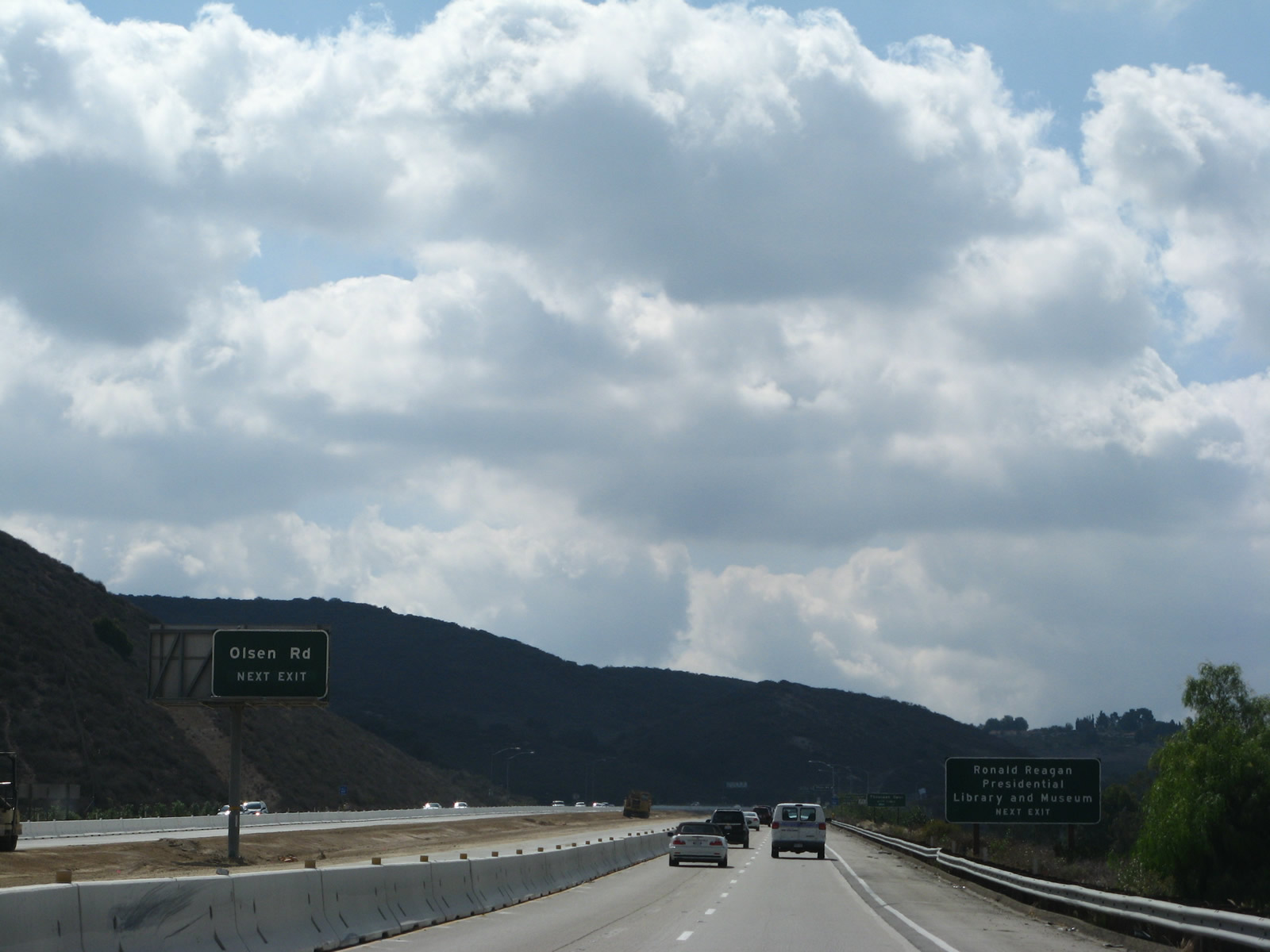
To the Ronald Reagan Presidential Library and Air Force One, follow California 23 north to Exit 17, Olsen Road (five miles north of here).
02/02/08
Turning north again, the two-lane transition ramp from U.S. 101 north prepares to merge with traffic from U.S. 101 south. California 23 will follow the Moorpark Freeway from Thousand Oaks north to Moorpark.
02/02/08
A California 23 north reassurance shield is posted after the on-ramps from U.S. 101 and Hillcrest Drive merge onto the nascent freeway.
02/02/08
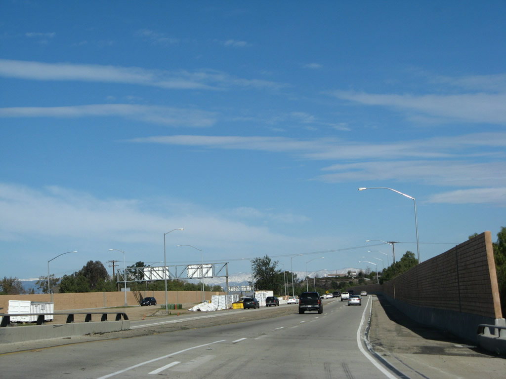
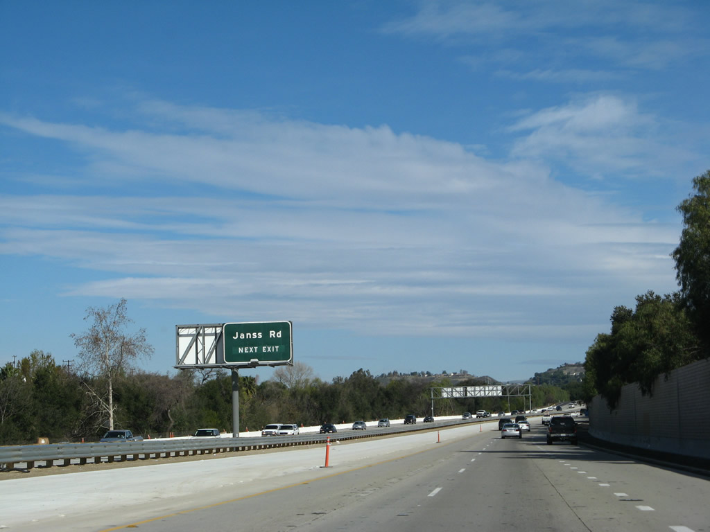
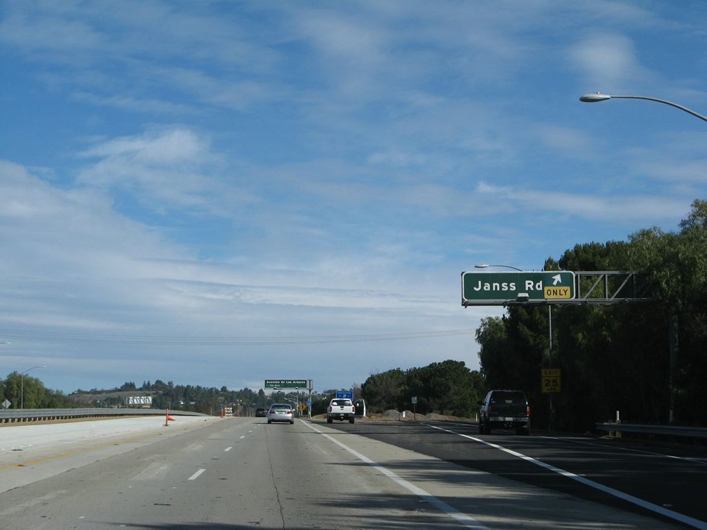
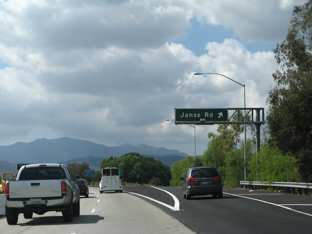
The first exit along California 23 (Moorpark Freeway) north is Exit 14, Janss Road. This street was named after the original Thousand Oaks developers from the 1950s. The right lane becomes exit only for Janss Road.
02/02/08
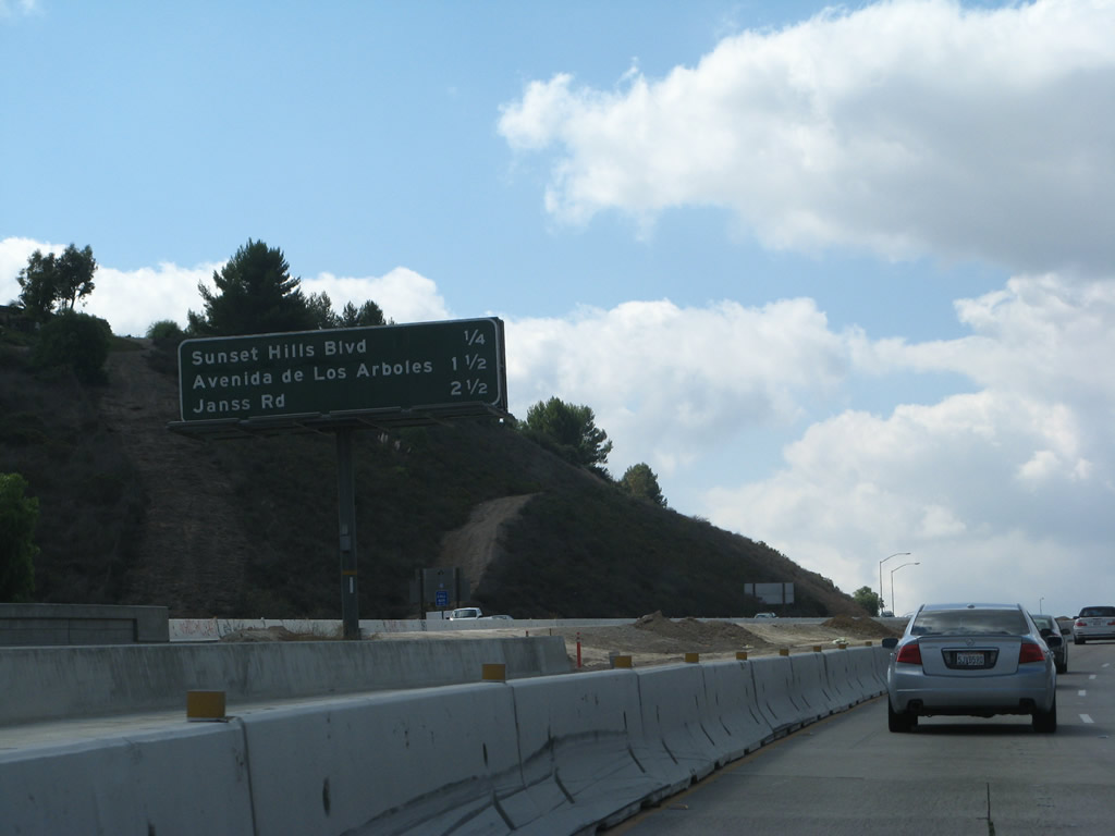
This interchange sequence sign provides the distance to the first three exits along California 23 (Moorpark Freeway) north: Exit 14, Janss Road; Exit 15, Avenida de los Arboles; and Exit 16, Sunset Hills Boulevard.
02/02/08
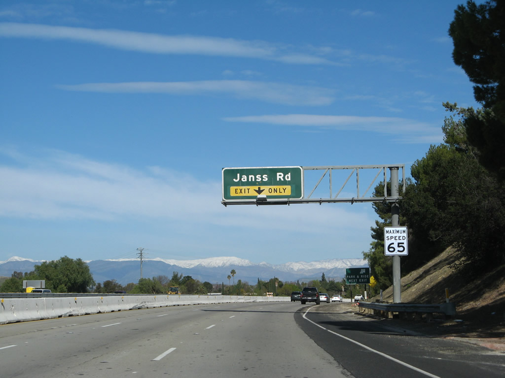
Northbound California 23 (Moorpark Freeway) approaches Exit 14, Janss Road in Thousand Oaks. A widening project to add a third lane was nearly complete by 2008. All of these approach signs have been replaced with reflective signs with the exit number.
02/02/08
Use Exit 14 (Janss Road west) to the Los Robles Hospital and Medical Center. Turn right (east) on Janss Road to the Thousand Oaks Library.
02/02/08
Northbound California 23 (Moorpark Freeway) meets Exit 14, Janss Road in Thousand Oaks.
02/02/08
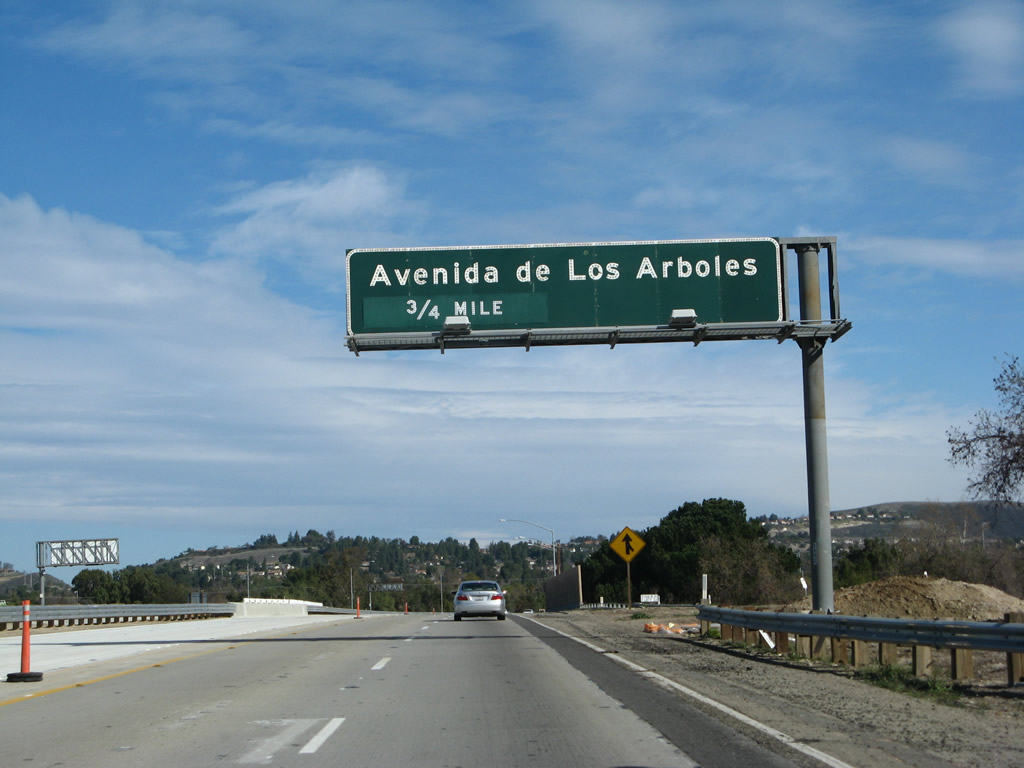
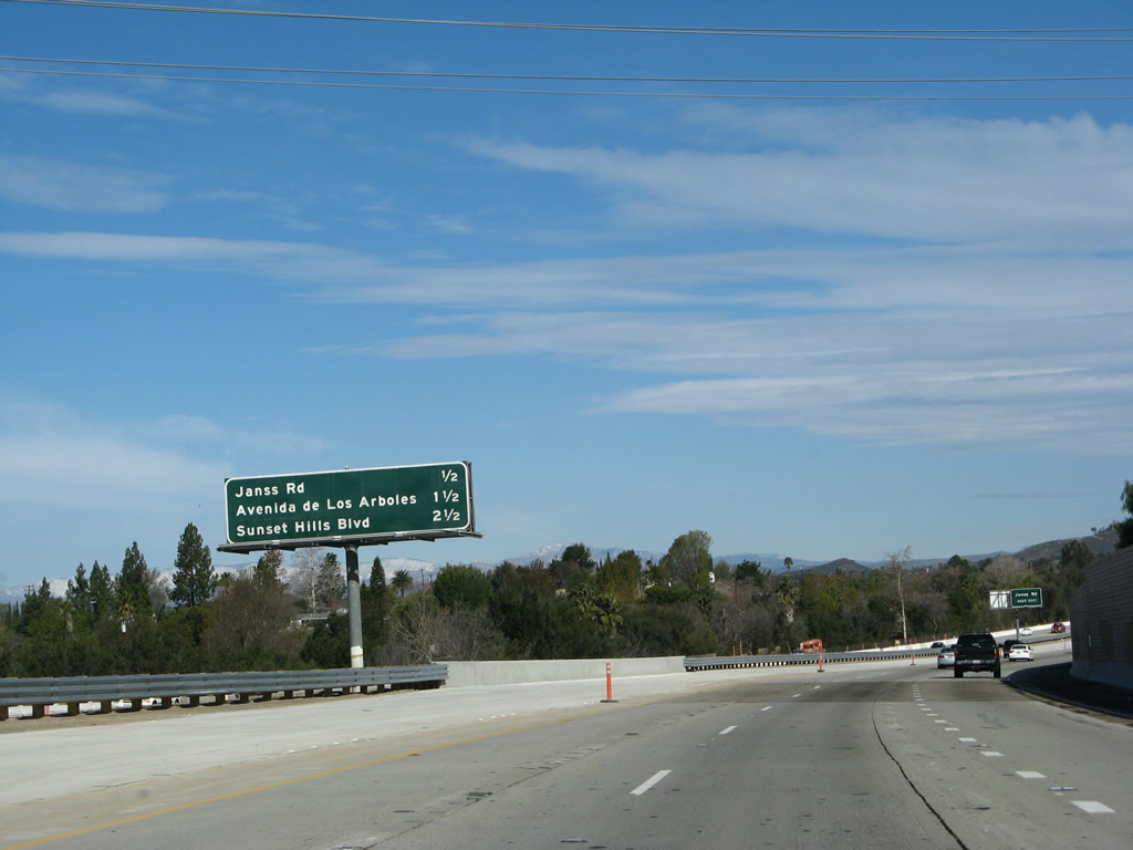
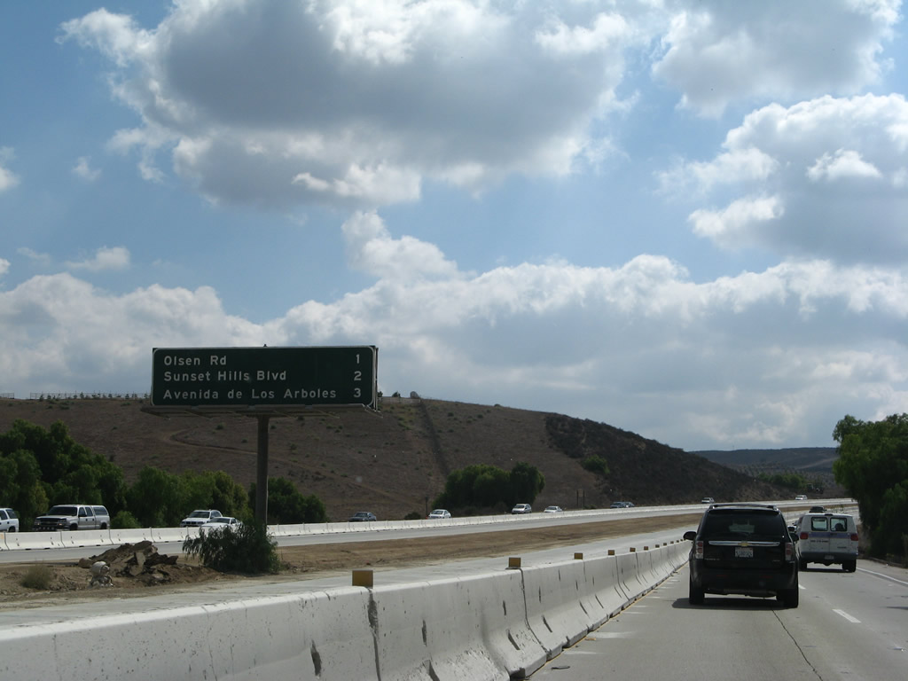
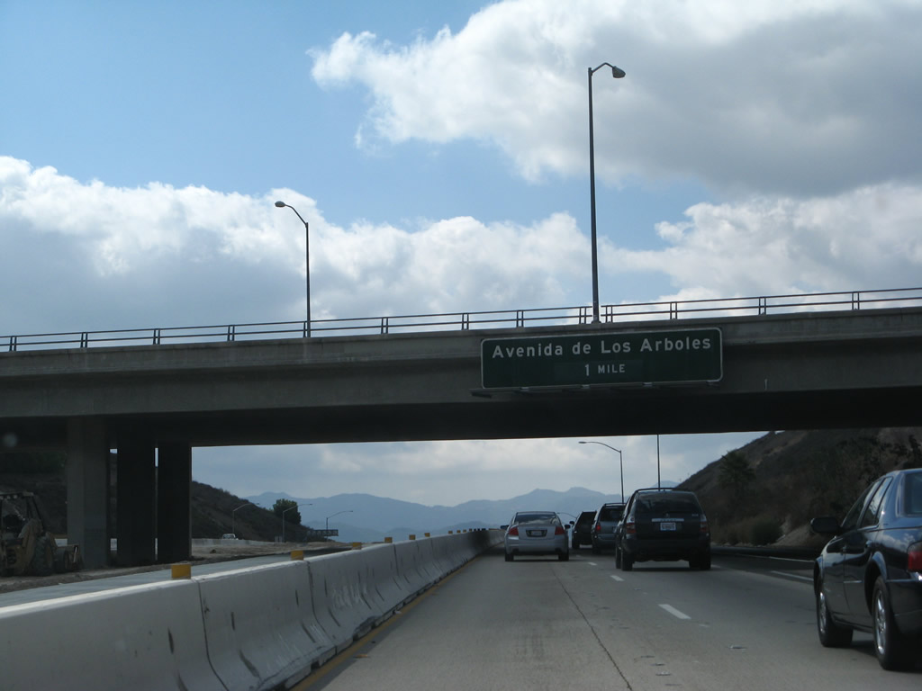
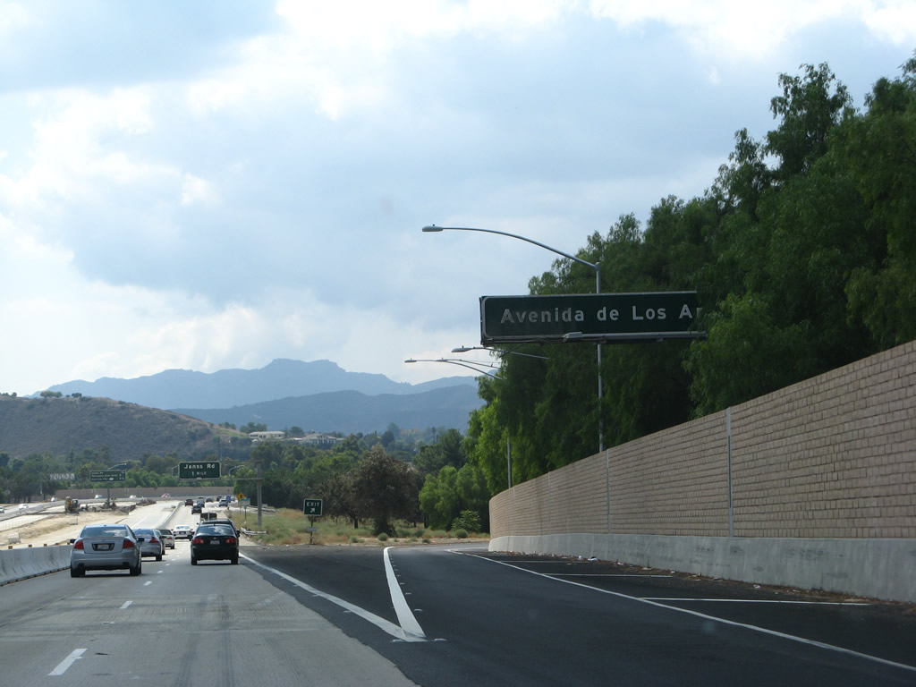
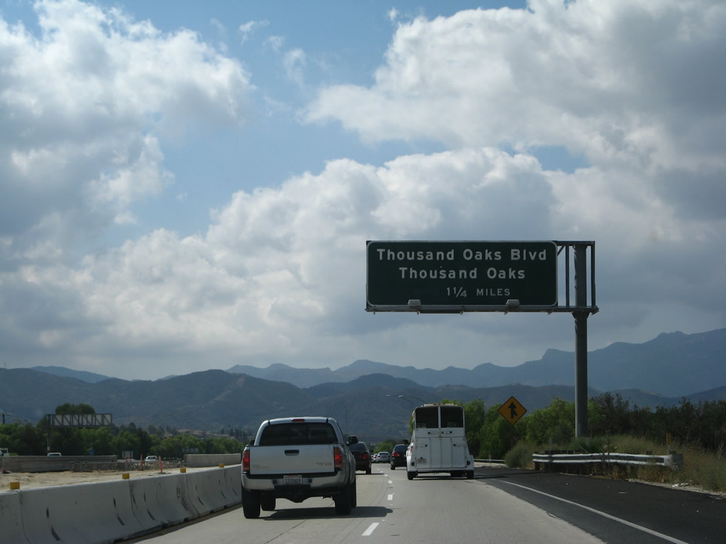
The next exit along California 23 (Moorpark Freeway) north is Exit 15, Avenida de los Arboles (0.75 miles).
02/02/08
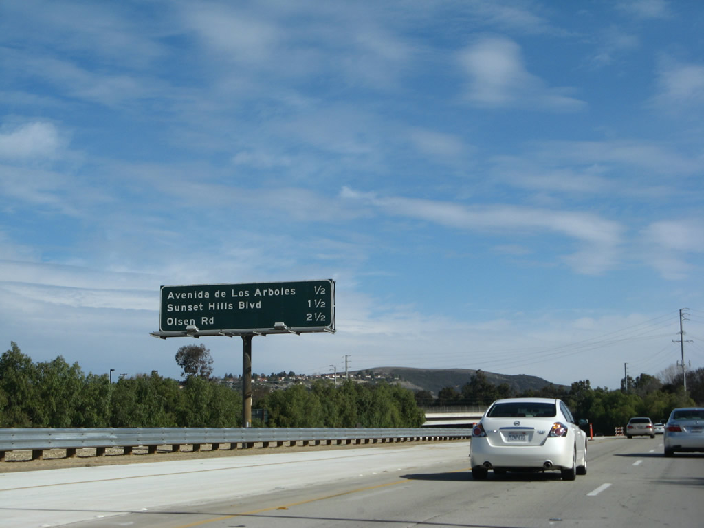
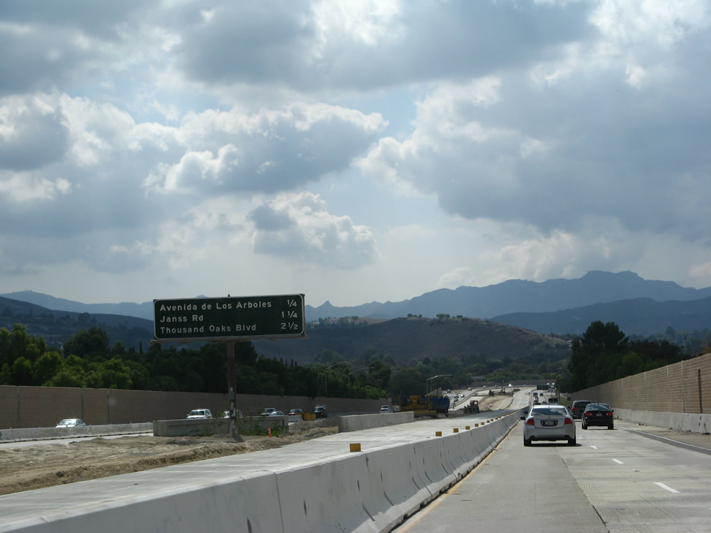
This interchange sequence sign provides the distance to the next three exits along California 23 (Moorpark Freeway) north: Exit 15, Avenida de los Arboles; Exit 16, Sunset Hills Boulevard; and Exit 17, Olsen Road to the Reagan Library.
02/02/08
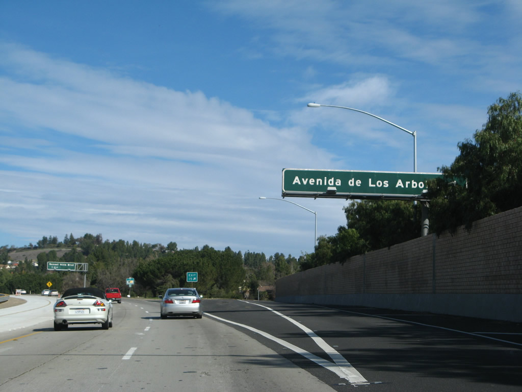
Northbound California 23 (Moorpark Freeway) meets Exit 15, Avenida de los Arboles.
02/02/08
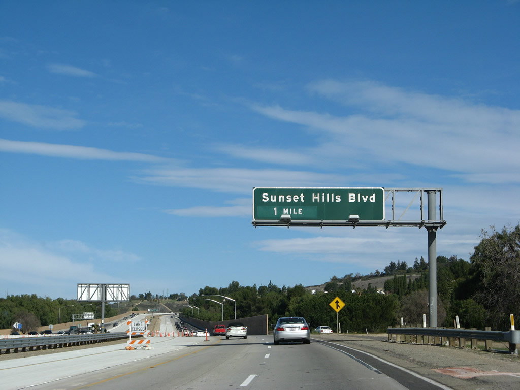
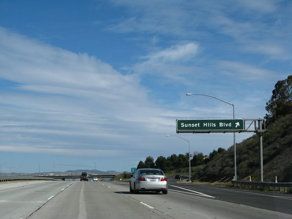
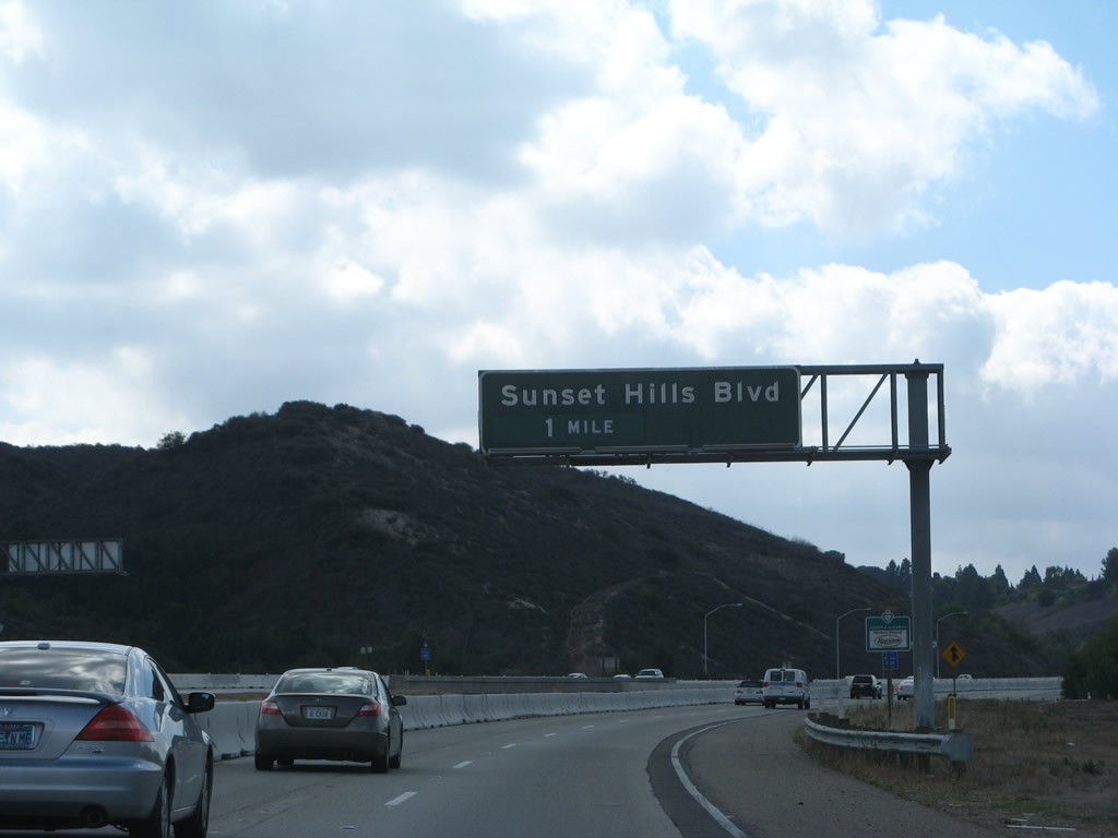
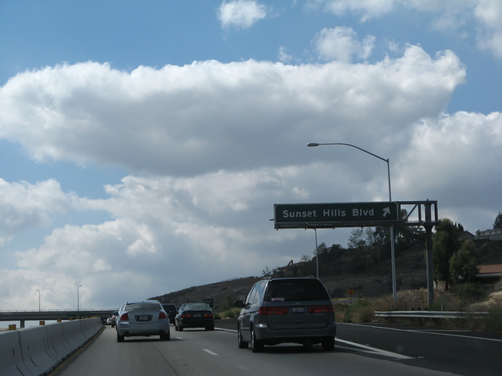
The next exit along California 23 (Moorpark Freeway) north is Exit 16, Sunset Hills Boulevard.
02/02/08
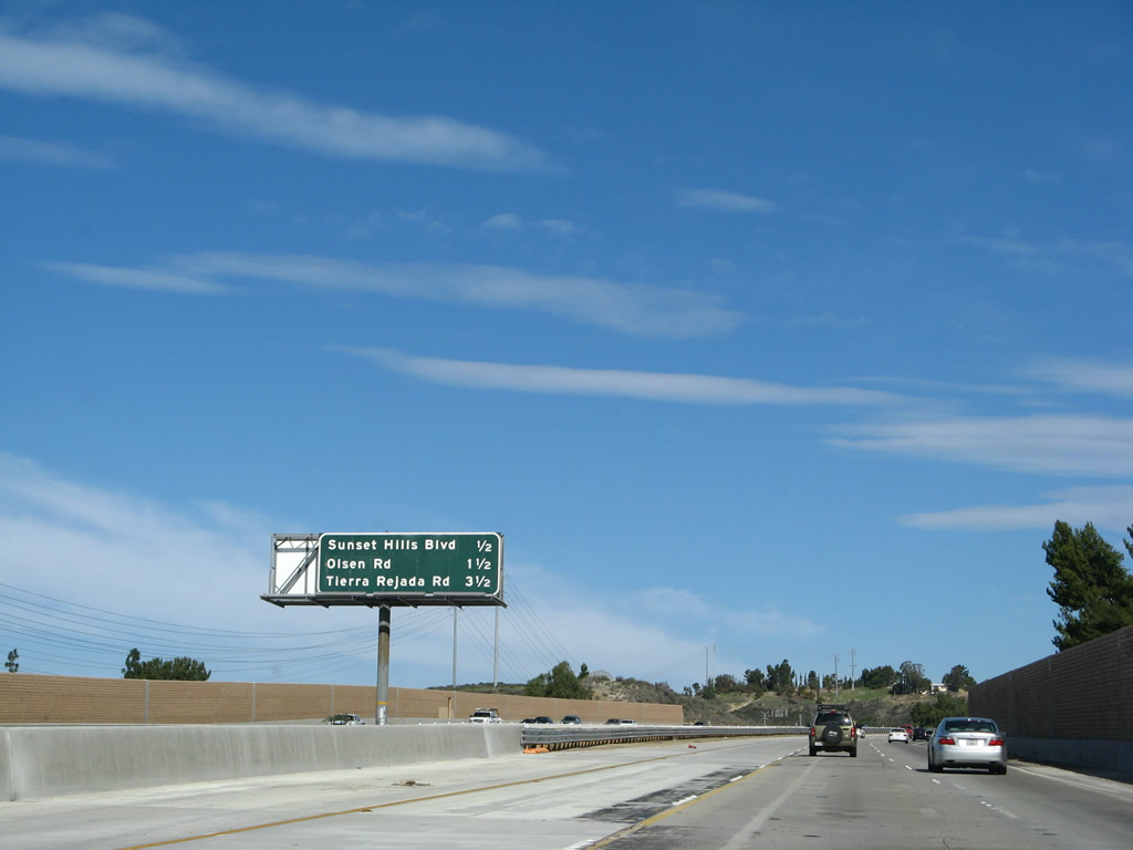
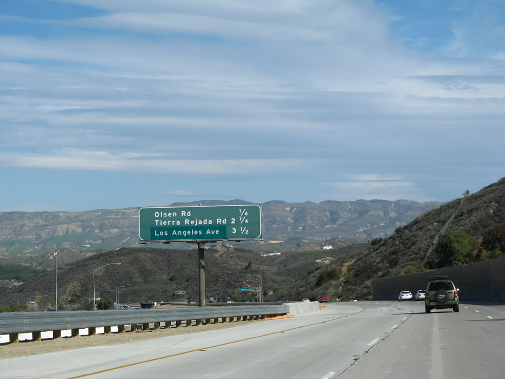
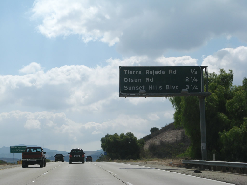
This interchange sequence sign provides the distance to the next three exits along California 23 (Moorpark Freeway) north: Exit 16, Sunset Hills Boulevard; Exit 17, Olsen Road; and Exit 19, Tierra Rejada Road.
02/02/08
Northbound California 23 (Moorpark Freeway) meets Exit 16, Sunset Hills Boulevard.
02/02/08
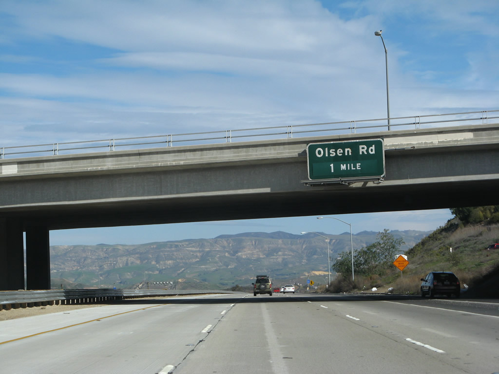
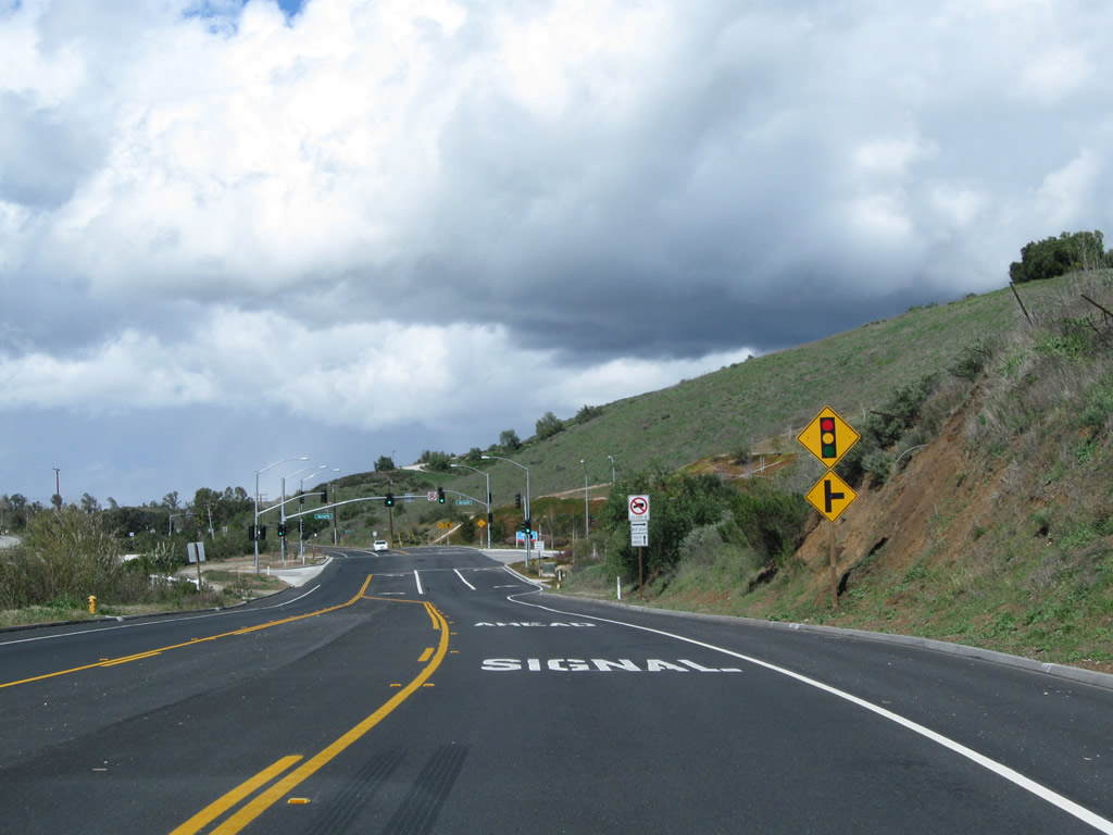
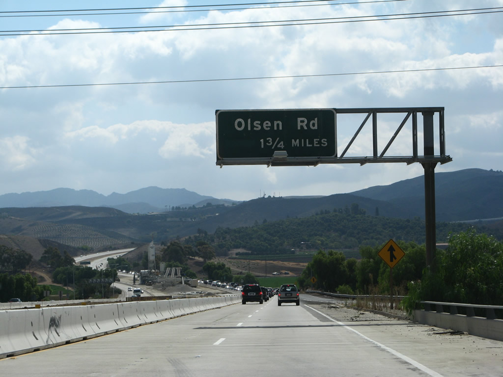
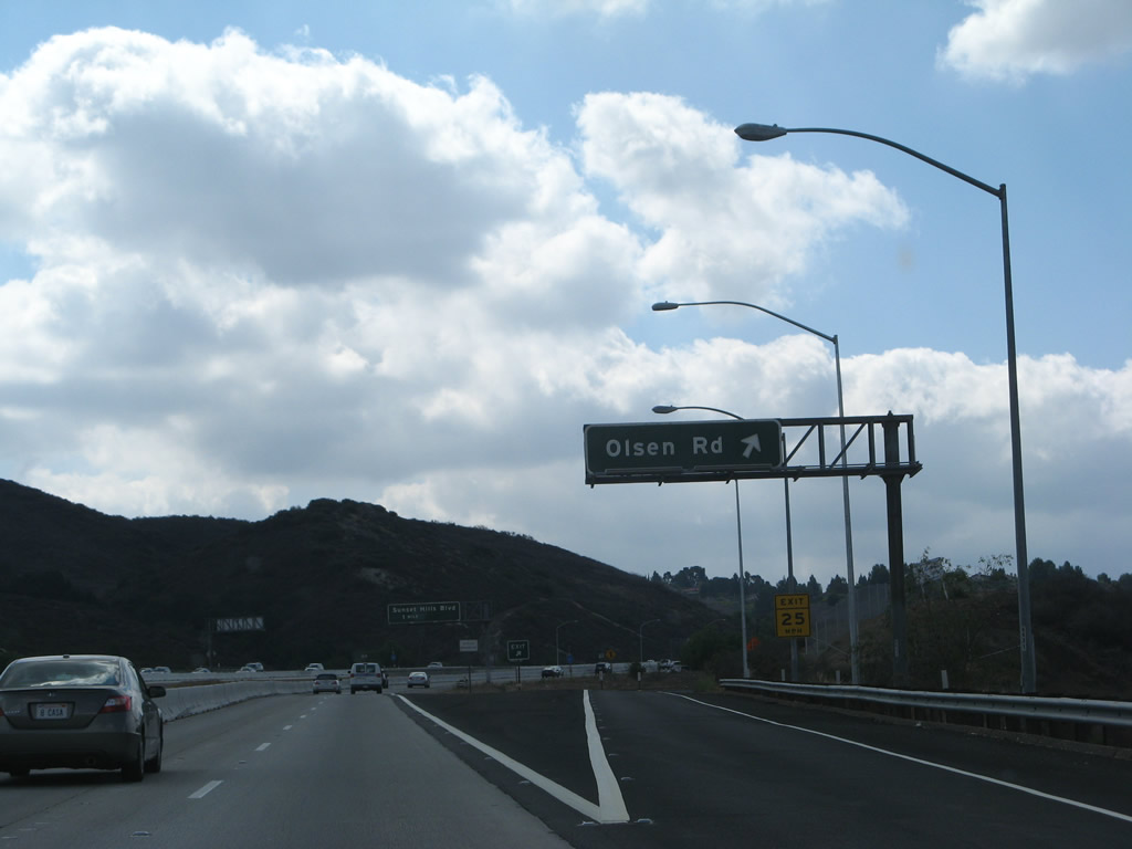
The next exit along California 23 (Moorpark Freeway) north is Exit 17, Olsen Road.
02/02/08
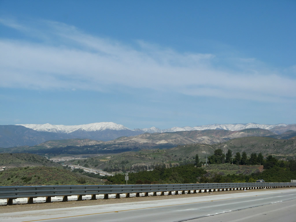
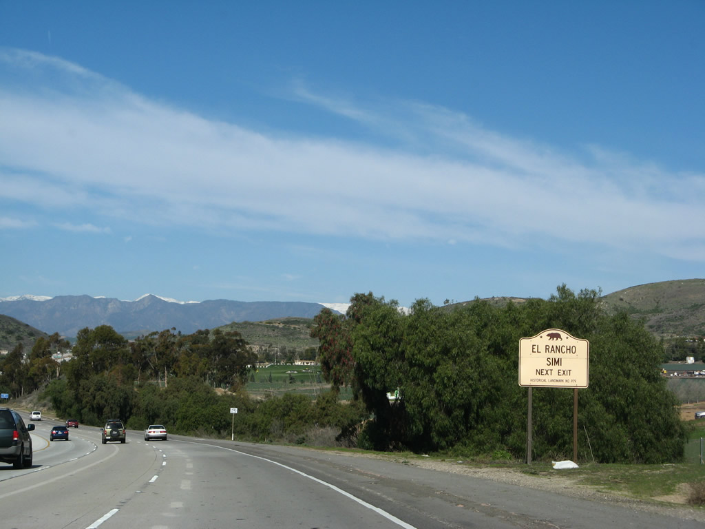
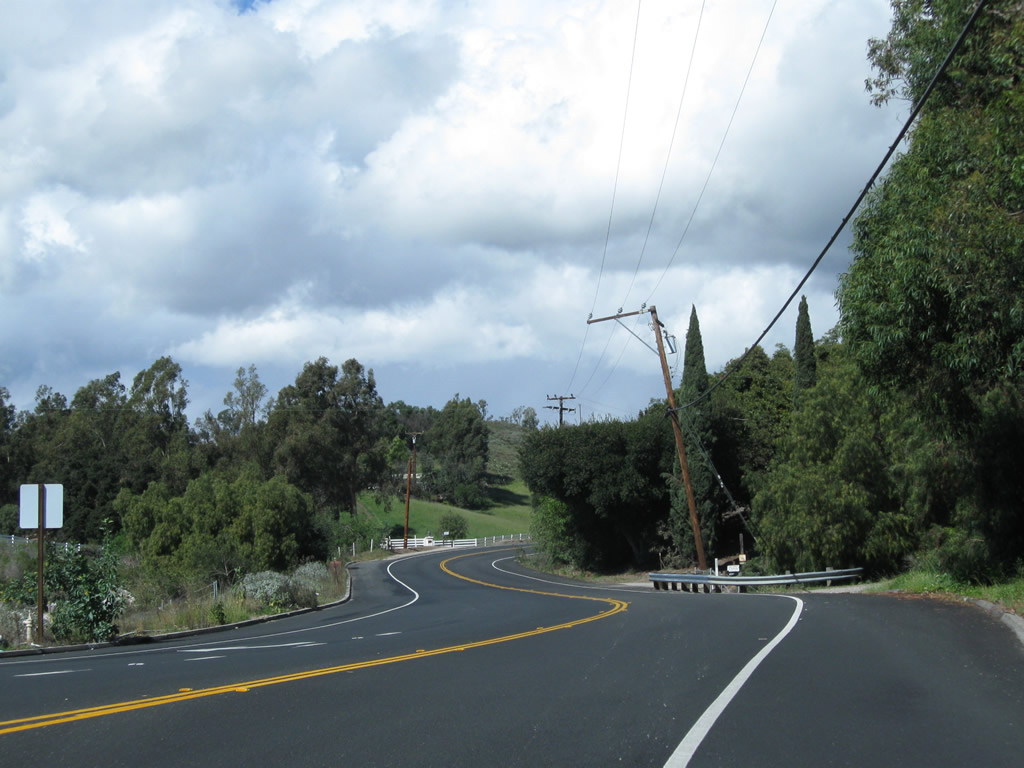
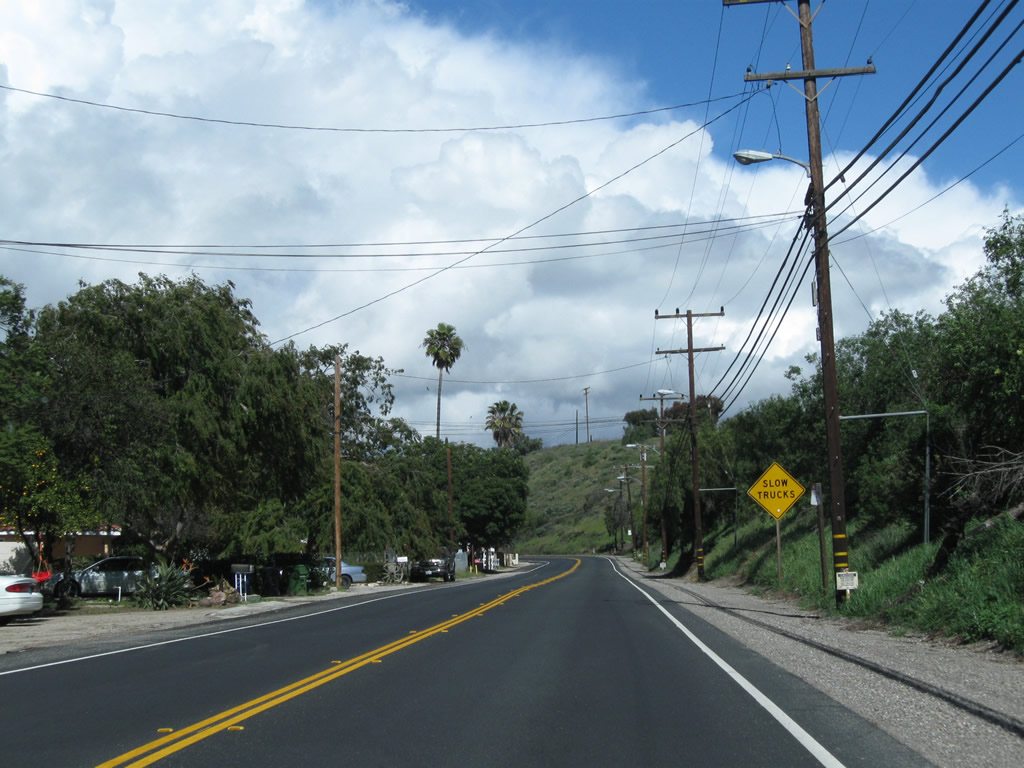
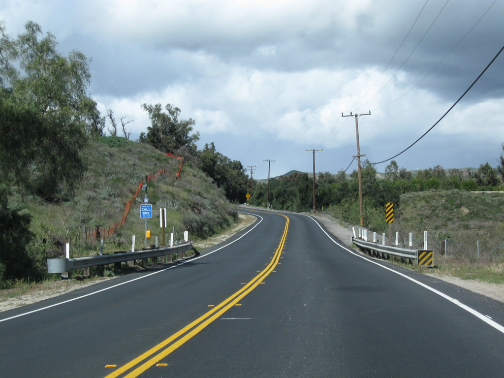
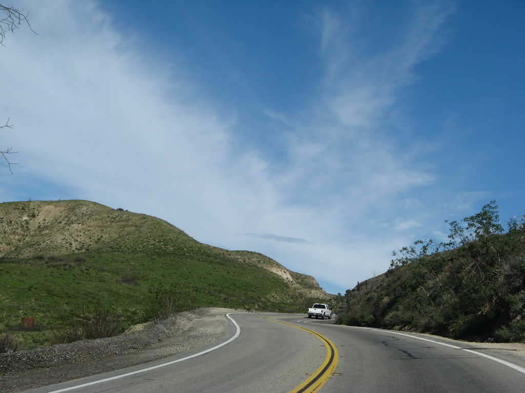
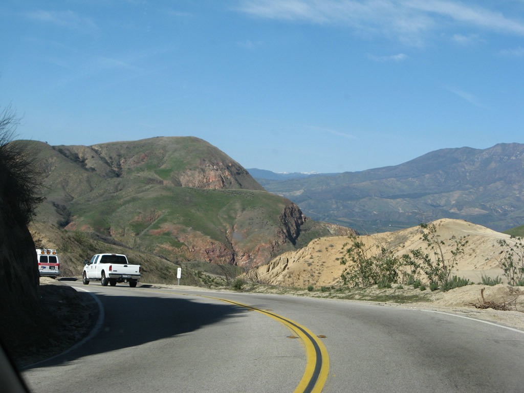
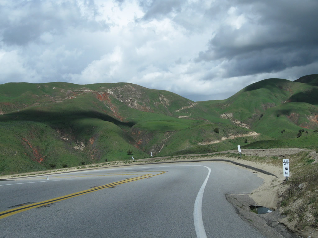
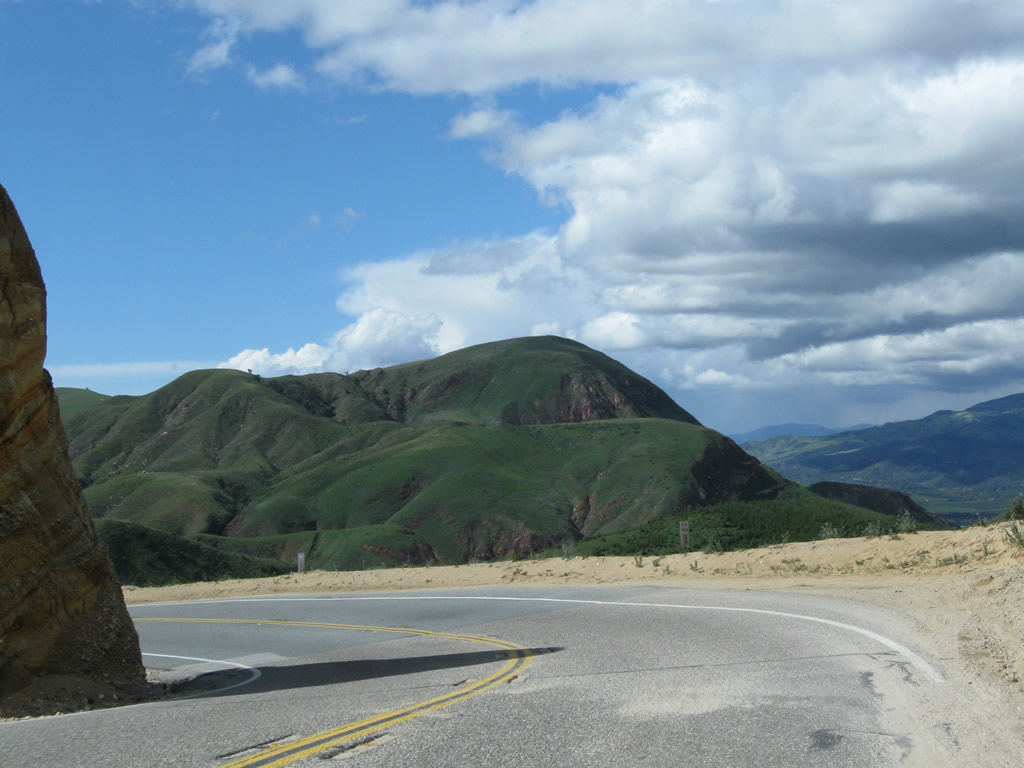
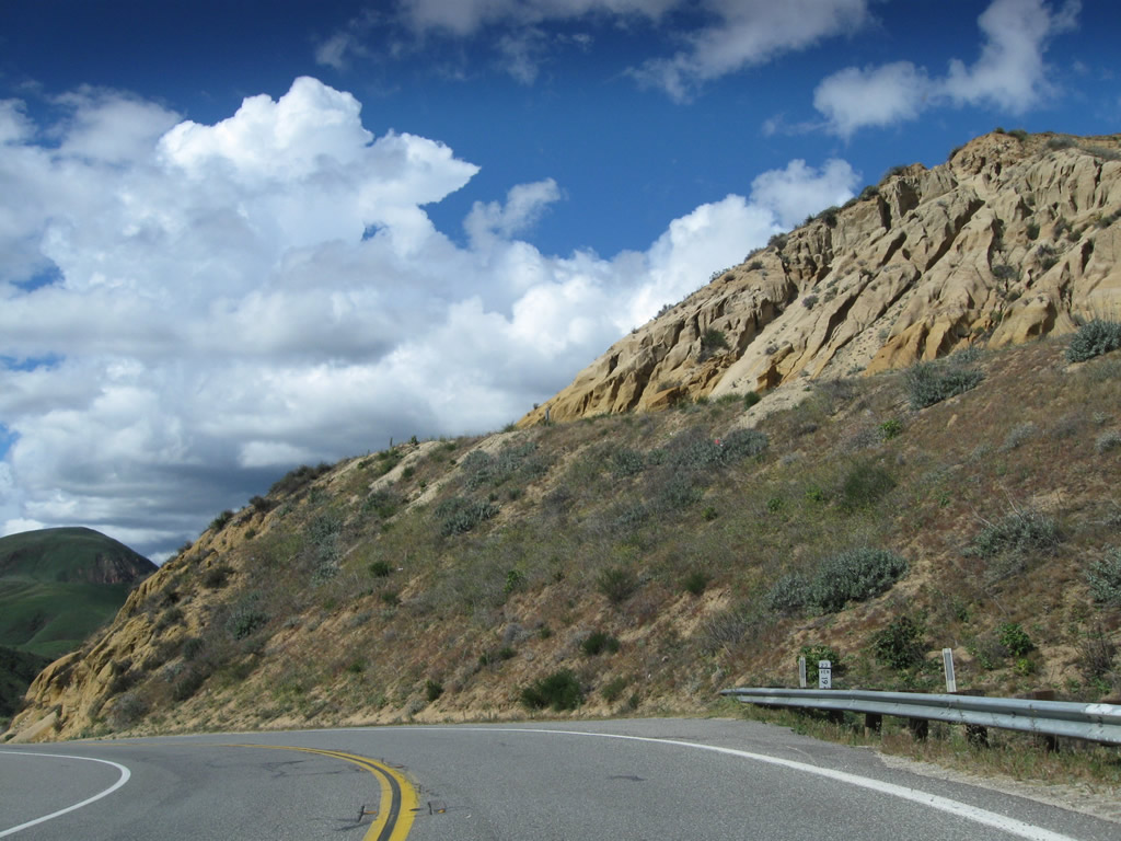
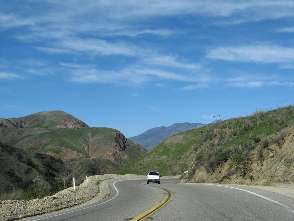
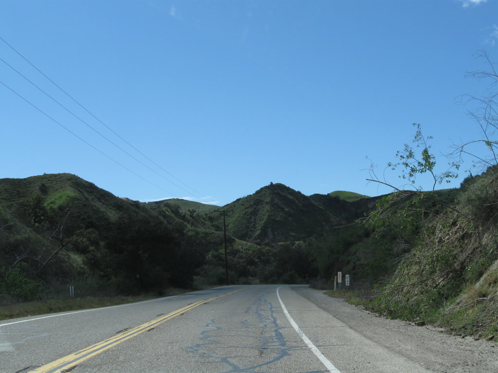
California 23 sees some less developed areas between Thousand Oaks and Moorpark.
02/02/08
Use Exit 17 (Olsen Road east) to the Ronald Reagan Presidential Library and Air Force One.
02/02/08
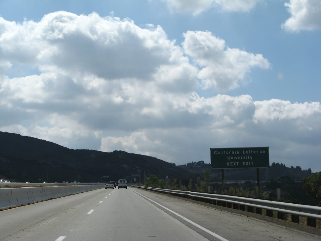
Use Olsen Road east to Simi Valley and west to California Lutheran University.
02/02/08
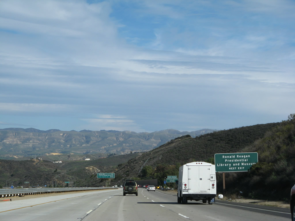
This interchange sequence sign provides the distance to the next three exits along California 23 (Moorpark Freeway) north: Exit 17, Olsen Road; Exit 19, Tierra Rejada Road; and Exits 20A-B, California 118 (Los Angeles Avenue) and Simi Valley Freeway (Ronald Reagan Freeway).
02/02/08
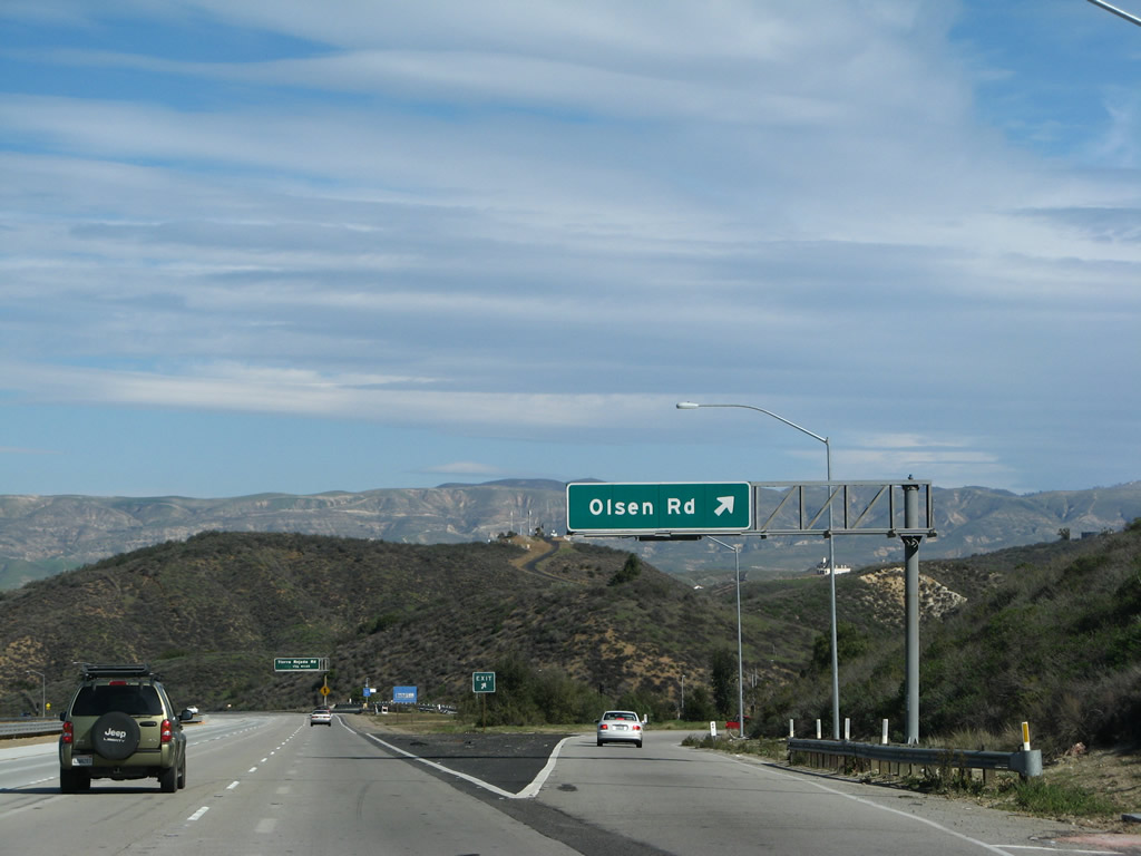
Northbound California 23 (Moorpark Freeway) meets Exit 17, Olsen Road.
02/02/08
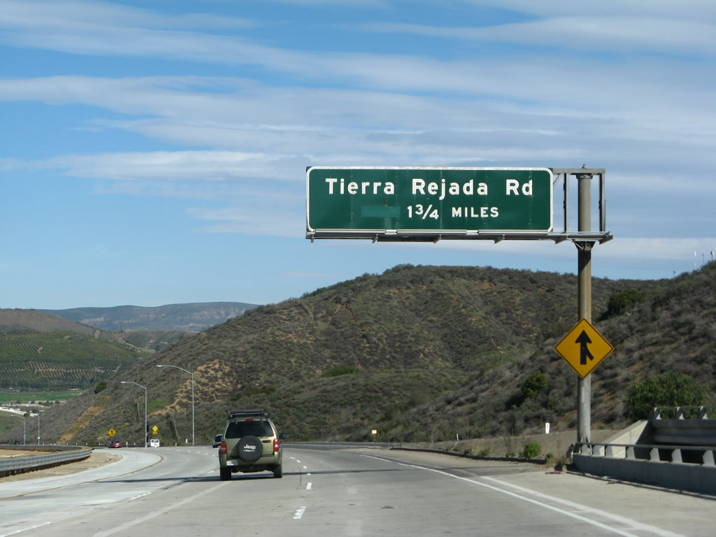
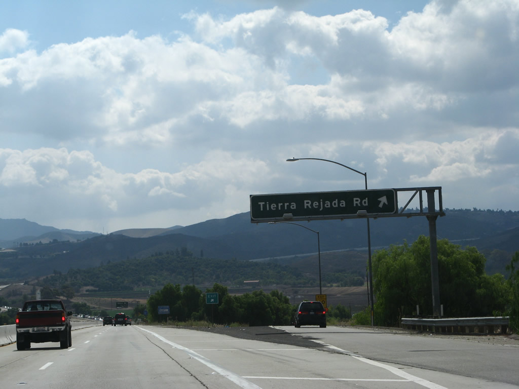
The next exit along California 23 (Moorpark Freeway) north is Exit 19, Tierra Rejada Road.
02/02/08
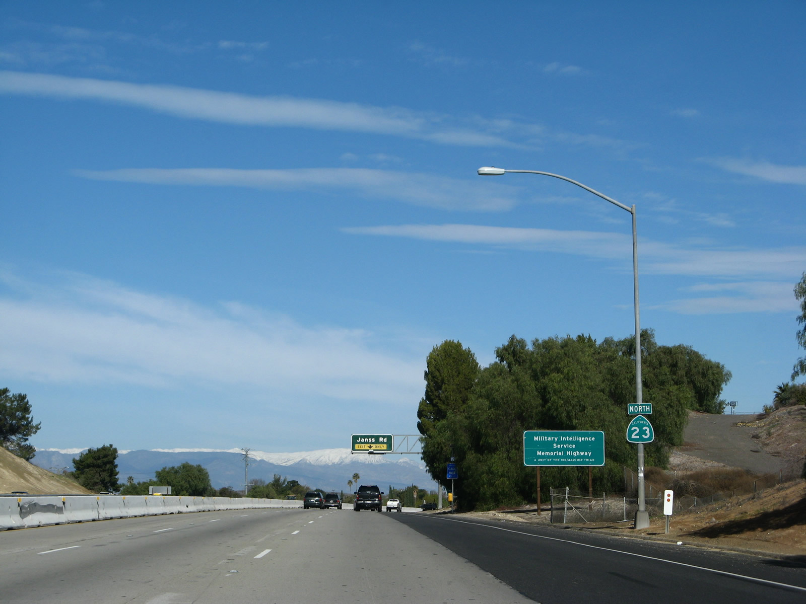
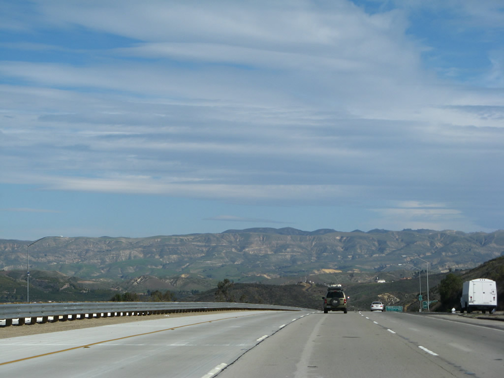
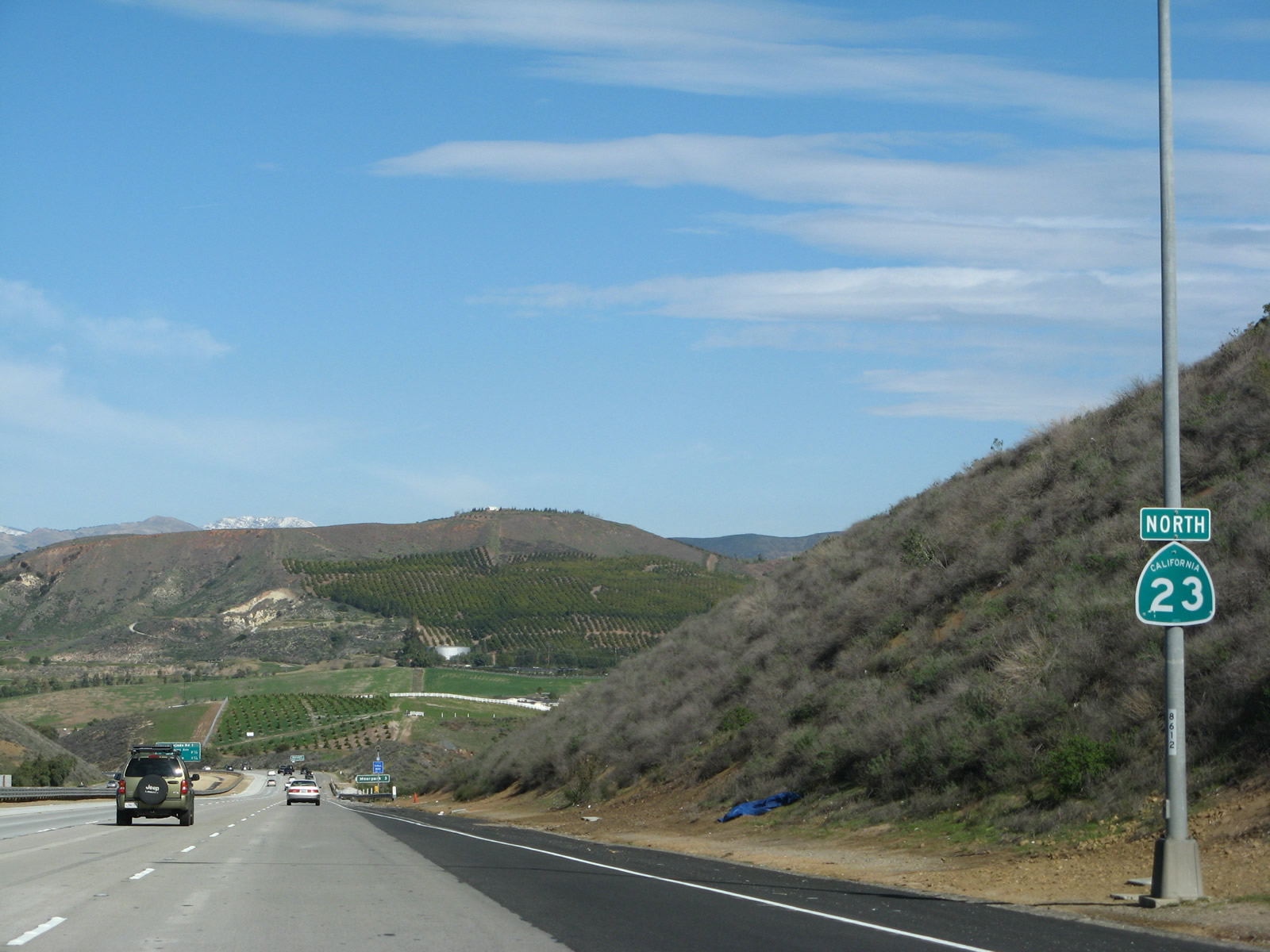
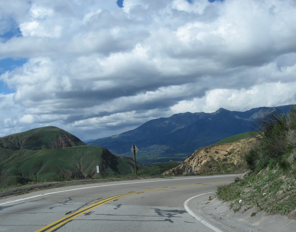
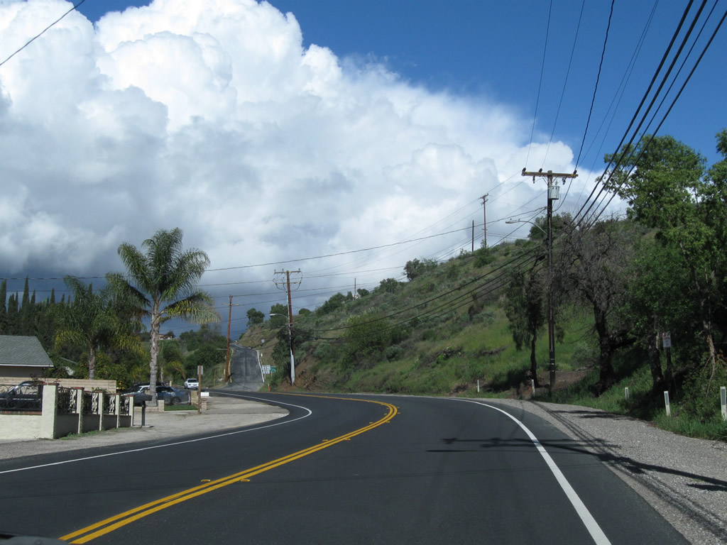
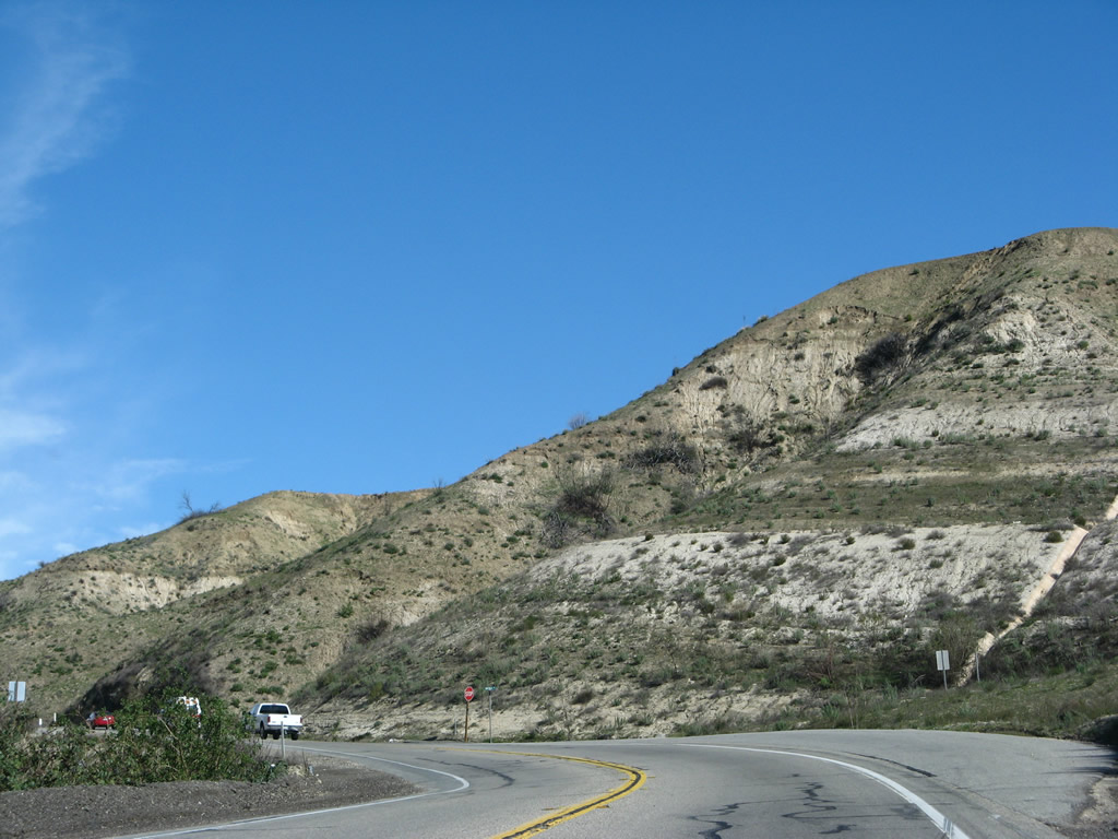
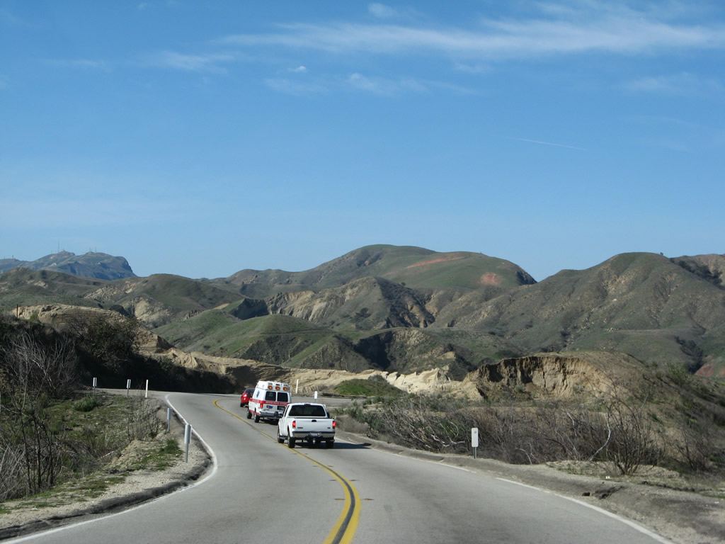
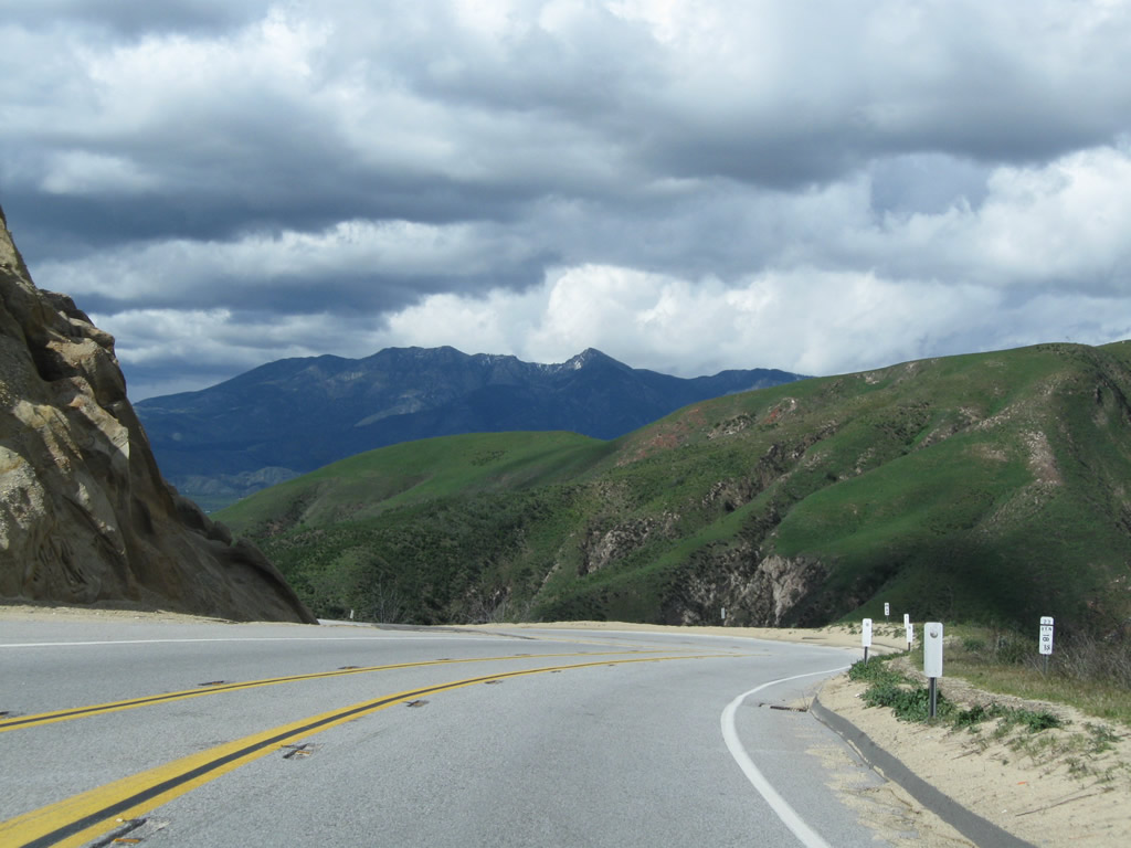
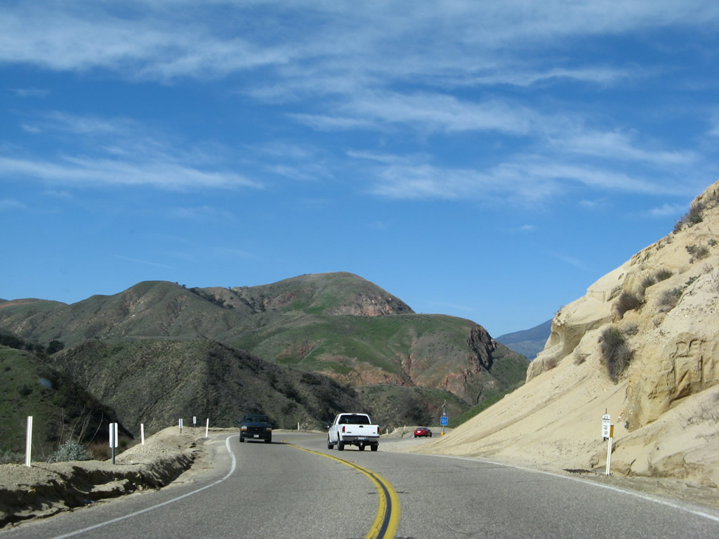
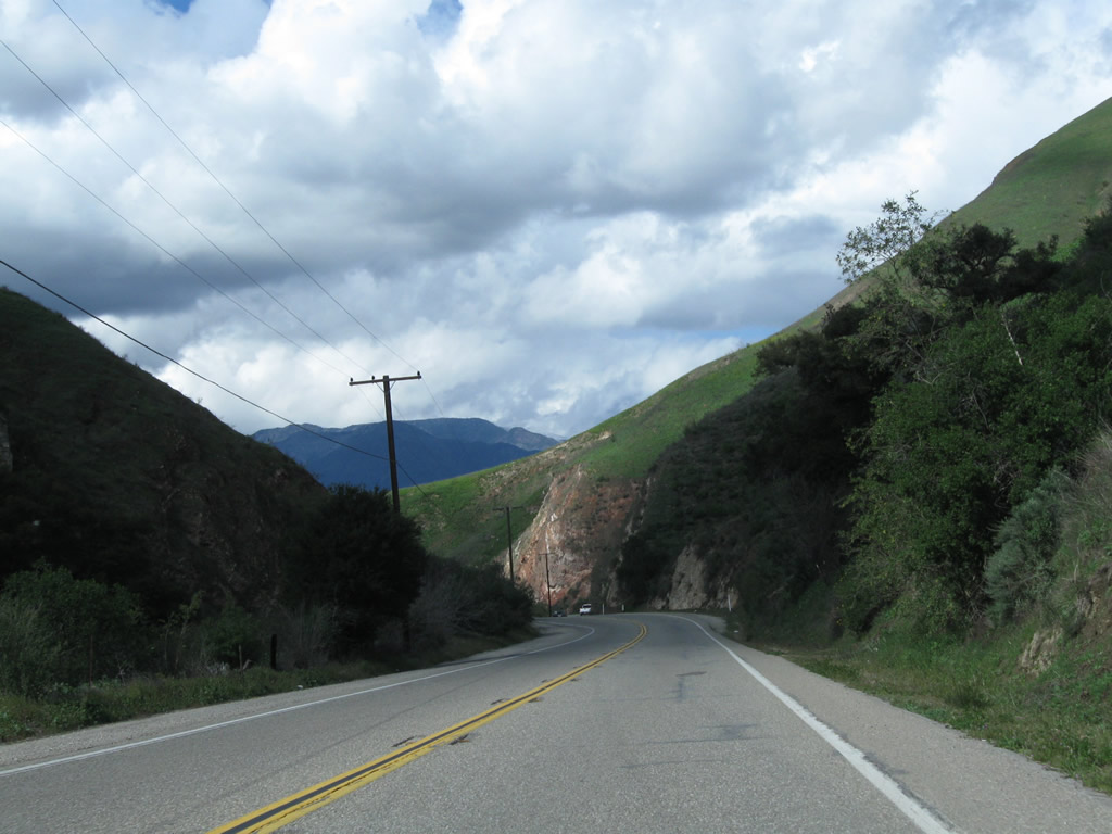
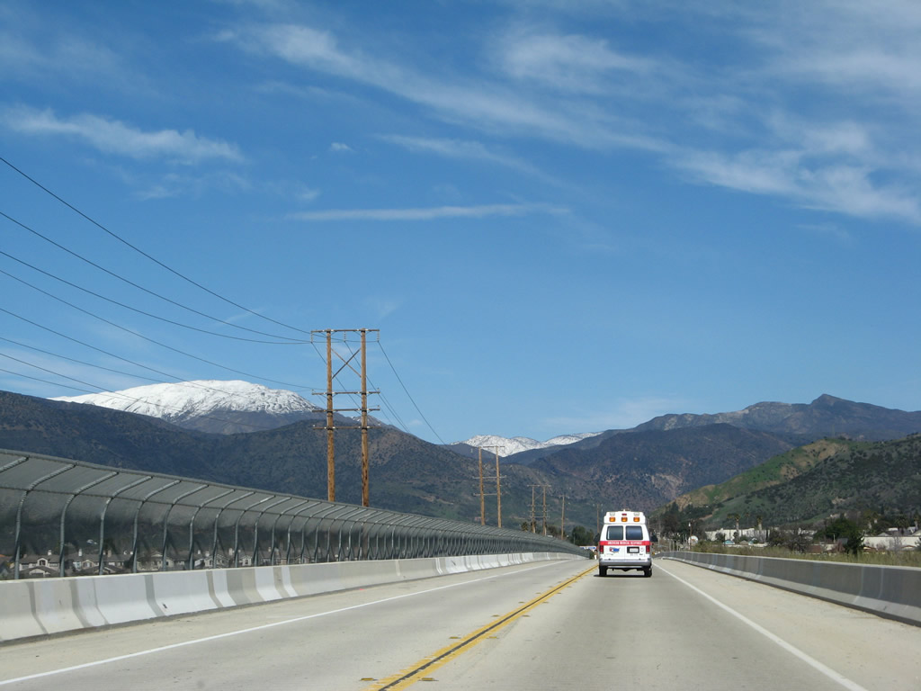
Snow-capped peaks come into view along California 23.
02/02/08
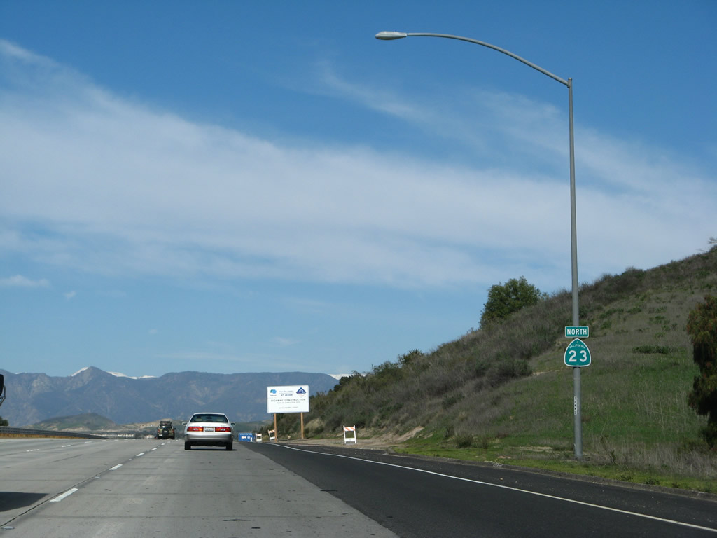
A California 23 north reassurance shield is posted after the on-ramp from Olsen Road.
02/02/08
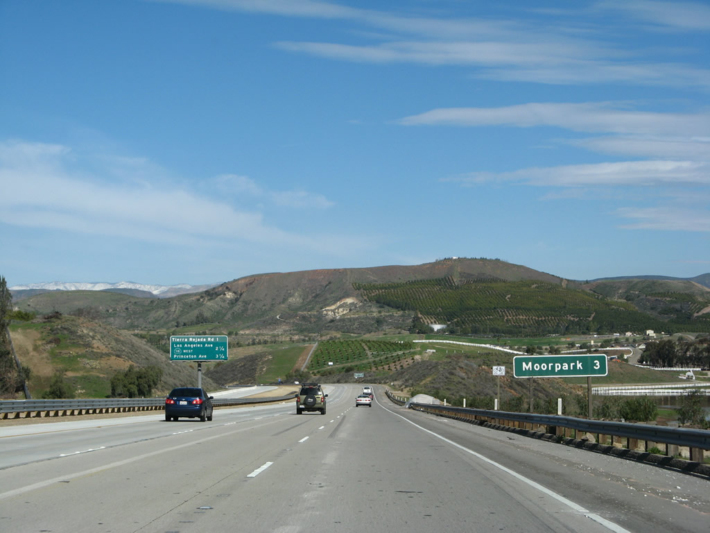
California 23 north reaches Moorpark in three miles.
02/02/08
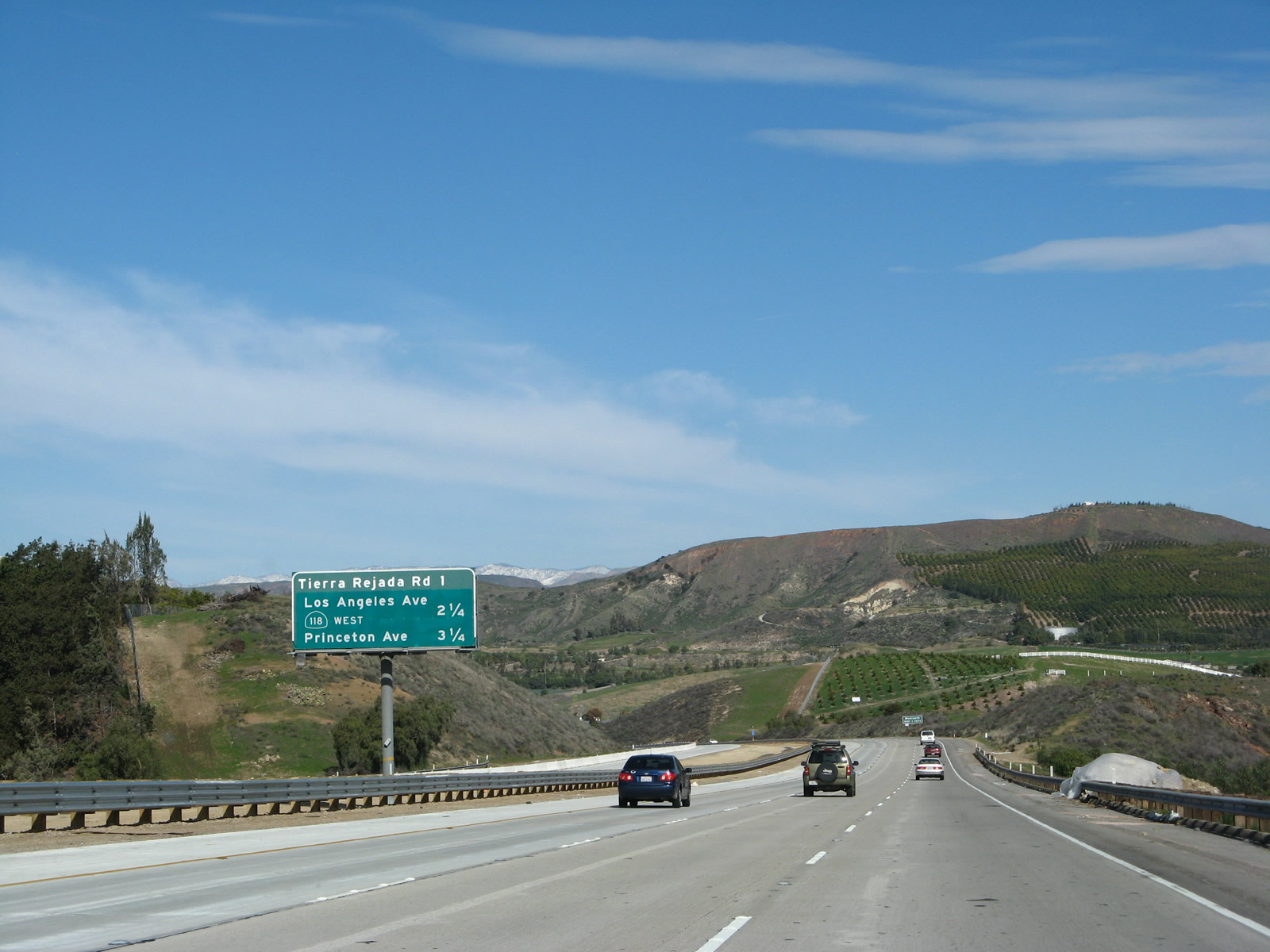
This interchange sequence sign provides the distance to the next three exits along California 23 (Moorpark Freeway) north: Exit 19, Tierra Rejada Road and Exits 20A-B, California 118 (Los Angeles Avenue) and Simi Valley Freeway (Ronald Reagan Freeway). Also included is Princeton Avenue, which can be accessed via California 118 east after California 23 departs at Los Angeles Avenue.
02/02/08
These four exits all serve the city of Moorpark. California 23 enters the city of Moorpark. The city was incorporated on July 1, 1983, and had a population of 31,415 as of the 2000 Census.
02/02/08
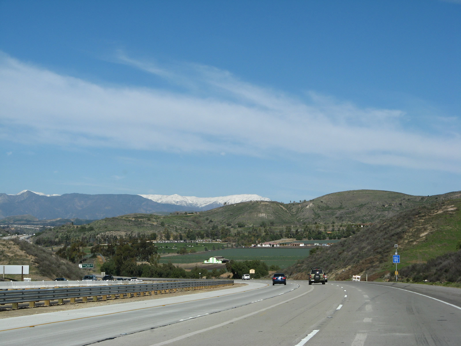
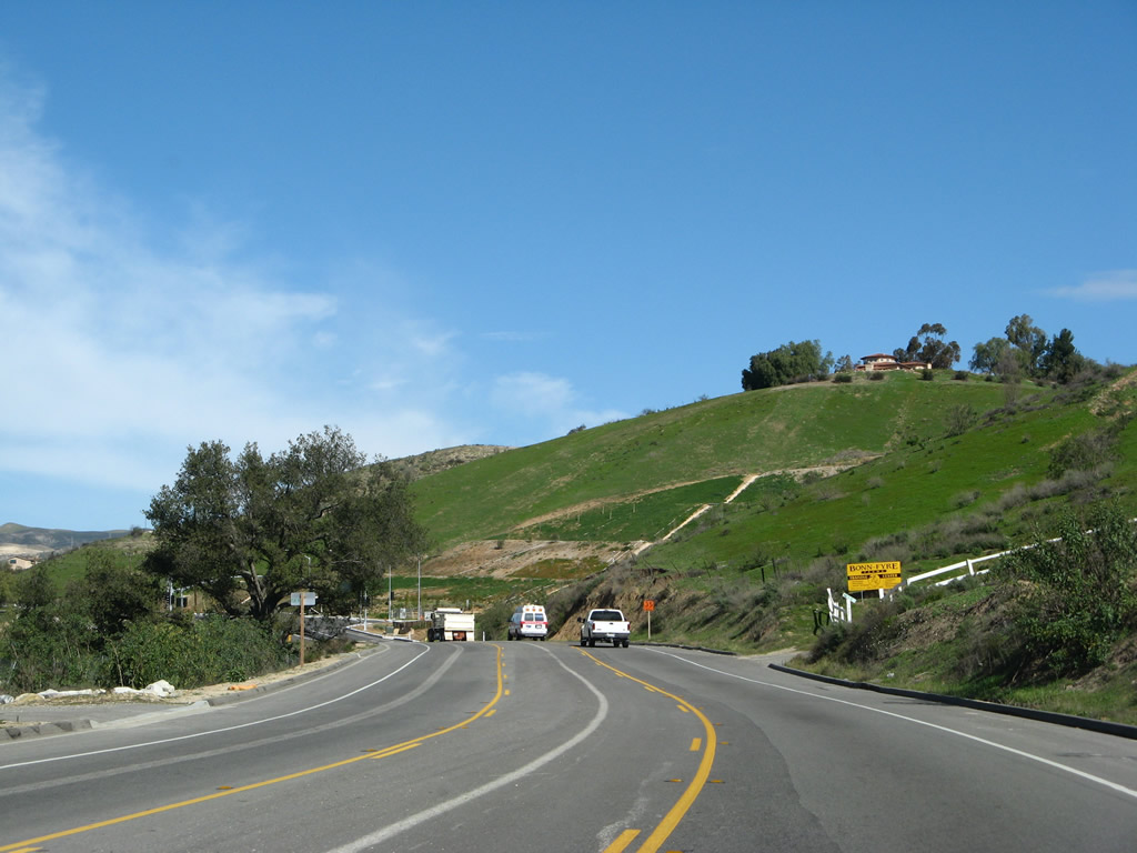
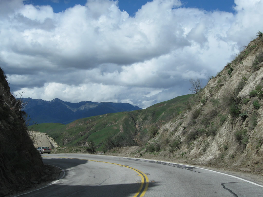
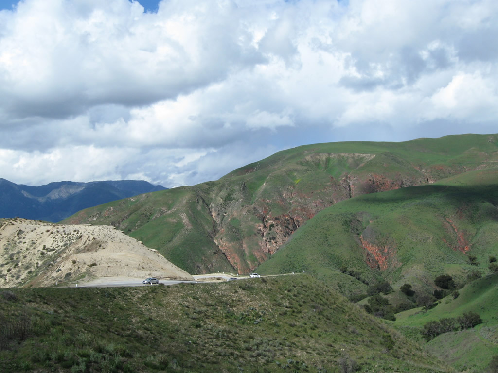
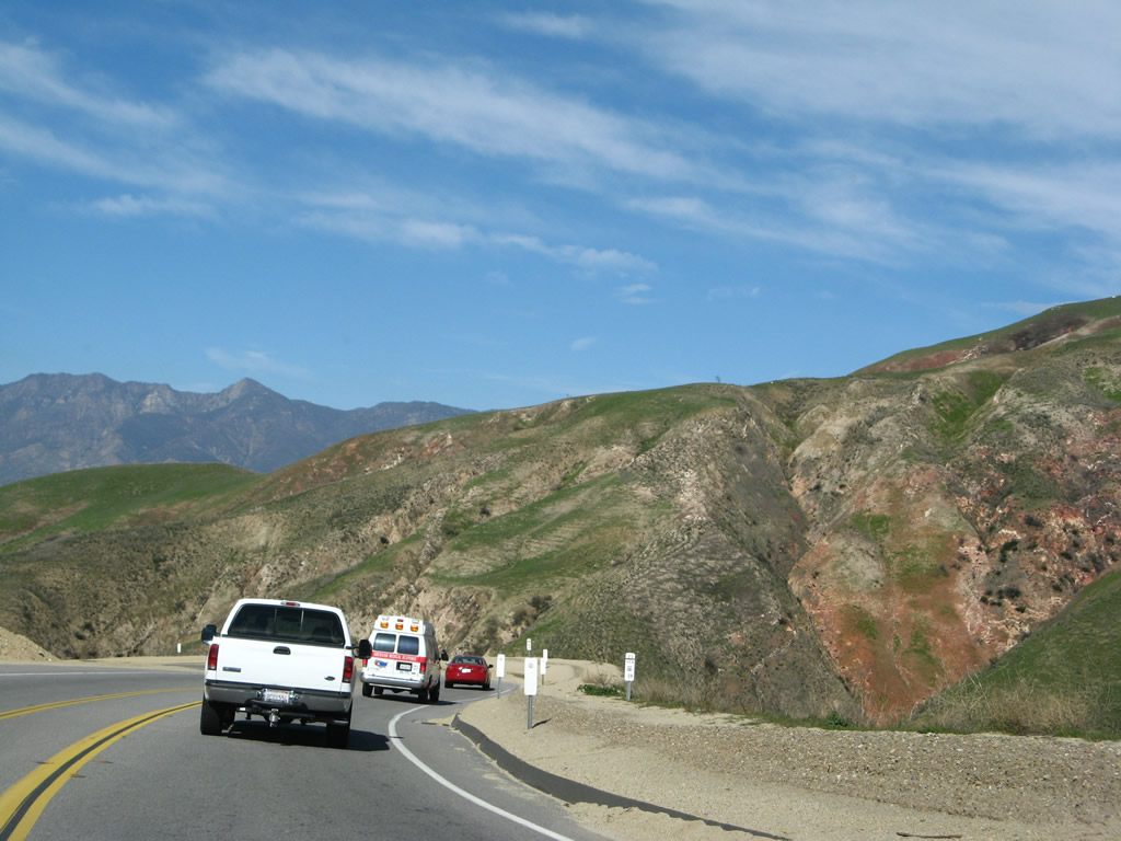
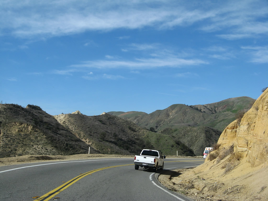
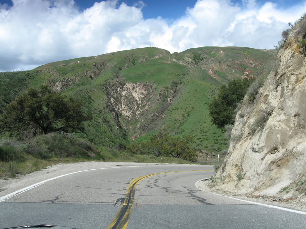
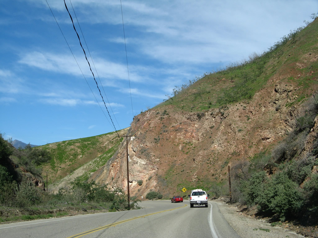
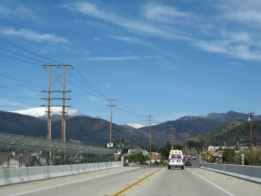
California 23 affords travelers another gorgeous mountain view.
02/02/08
Exit 19 connects SR 23 with Tierra Rejada Road to El Rancho Simi Adobe, a California registered historic site.
02/02/08
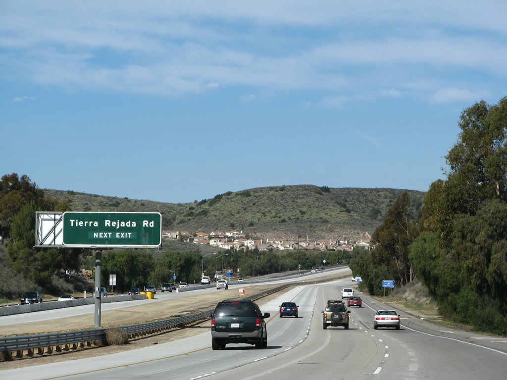
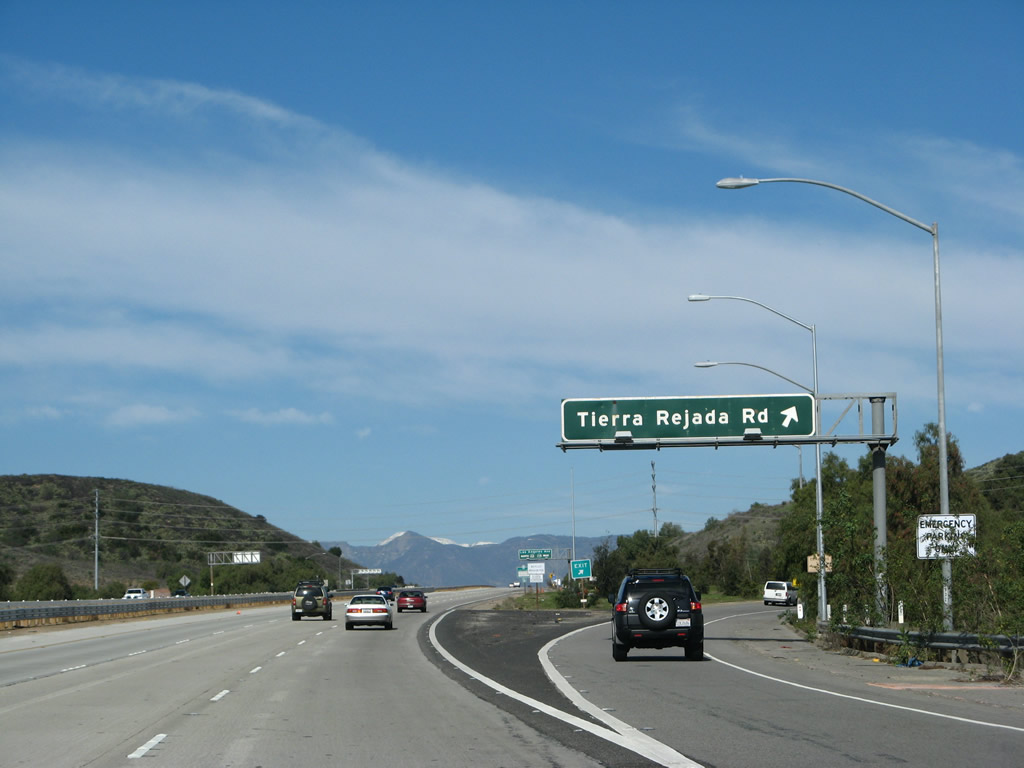
California 23 (Moorpark Freeway) north approaches Exit 19, Tierra Rejada Road.
02/02/08
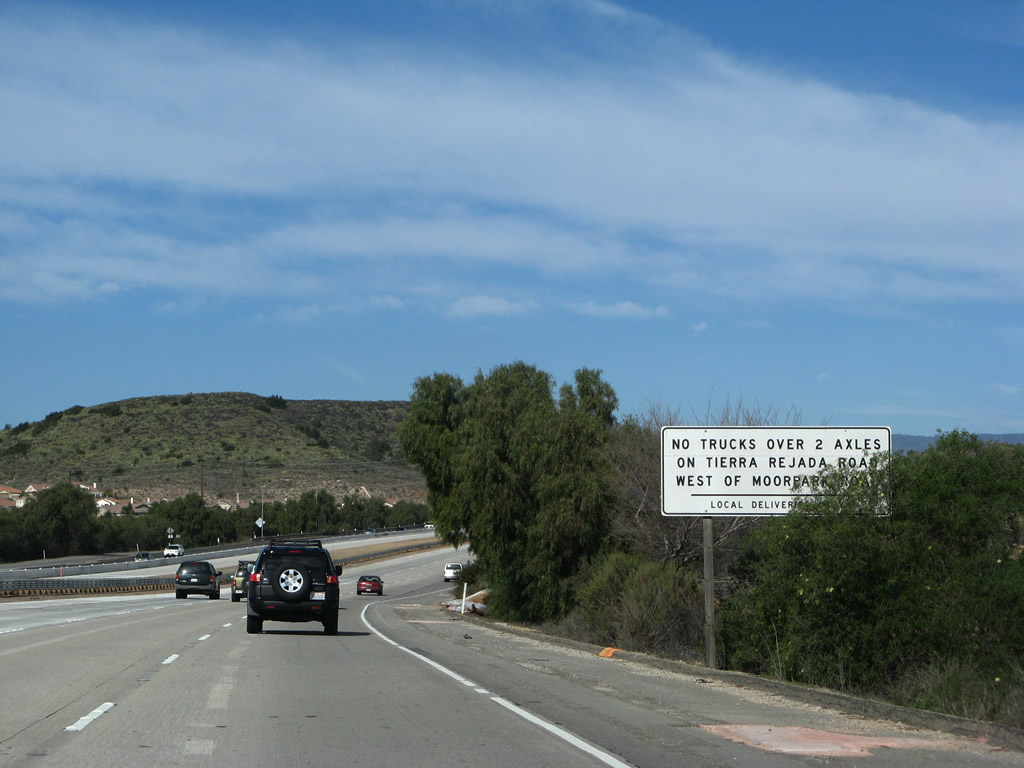
Trucks are restricted on Tierra Rejada Road west of Moorpark Road.
02/02/08
Northbound California 23 (Moorpark Freeway) meets Exit 19, Tierra Rejada Road.
02/02/08
The next two exits along California 23 (Moorpark Freeway) north are Exit 20A, California 118 (Los Angeles Avenue) west and California 23 north to Fillmore and Exit 20B, California 118 (Simi Valley / Ronald Reagan Freeway) east to Simi Valley and Los Angeles.
02/02/08
A California 23 north reassurance shield is posted after the on-ramp from Tierra Rejada Road.
02/02/08
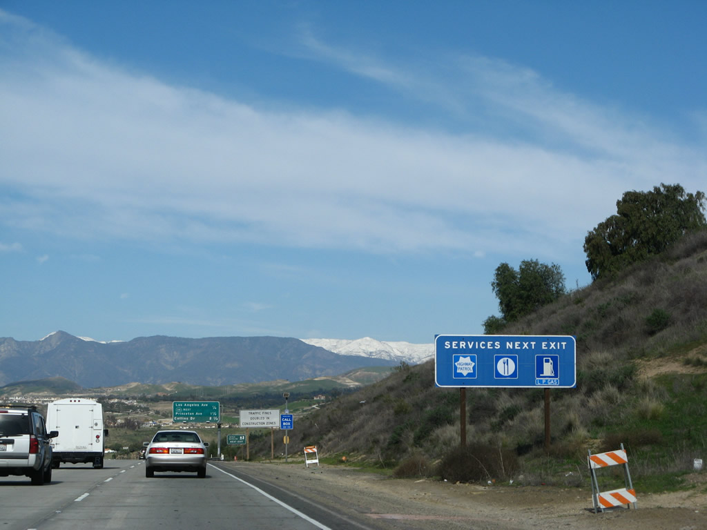
Exit 20A for Los Angeles Avenue provides gas and food options for motorists on SR 23.
02/02/08
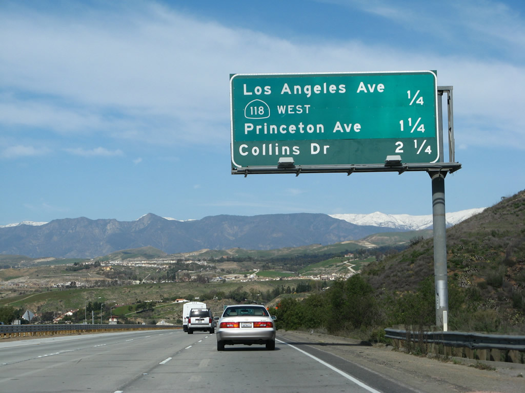
Another mileage sign provides the distance to the next four exits along both California 23 (Moorpark Freeway) north and California 118 (Ronald Reagan Freeway) east: Exit 20A, California 118 (Los Angeles Avenue) west and California 23 north to Fillmore; Exit 20B, California 118 (Simi Valley / Ronald Reagan Freeway) east to Simi Valley and Los Angeles; Exit 19A, Princeton Avenue; and Exit 19B, Collins Drive.
02/02/08
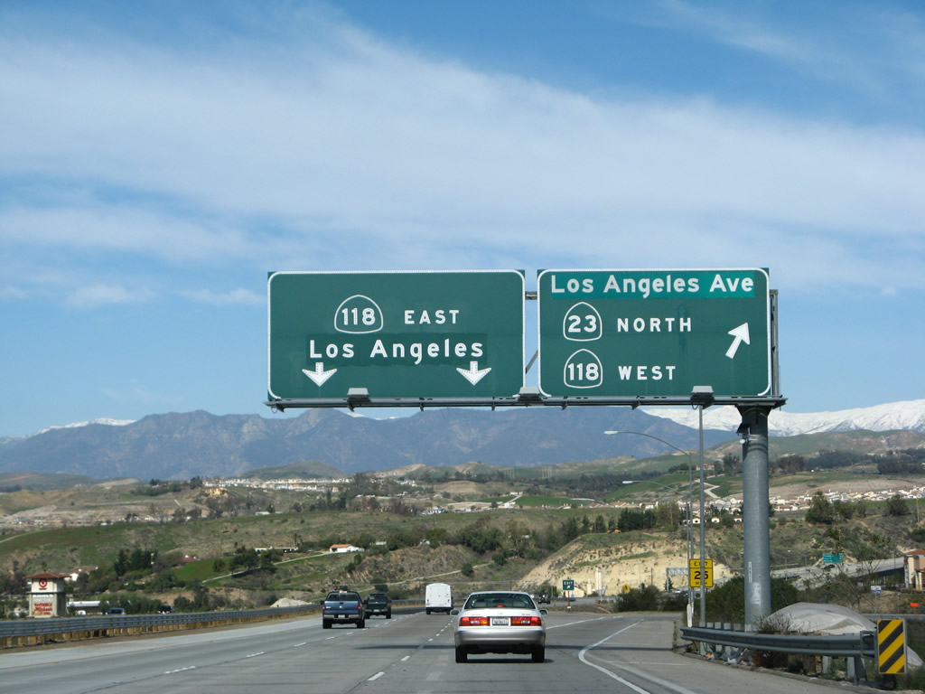
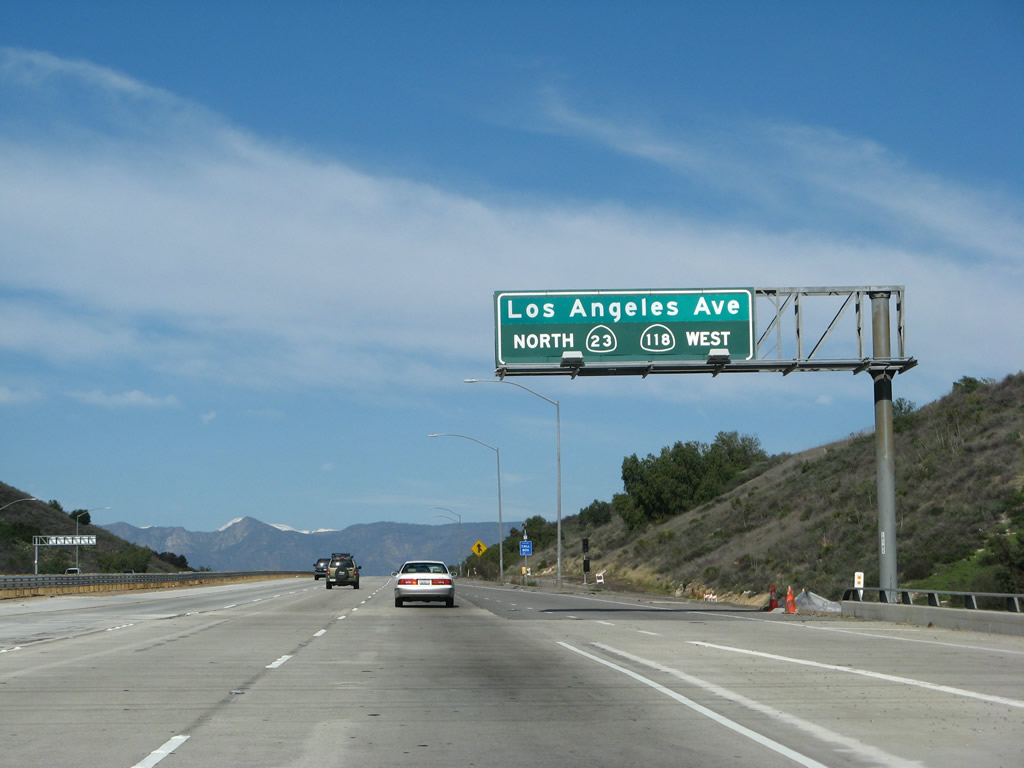
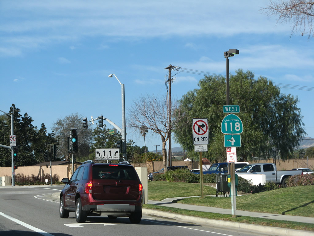
California 23 departs from the Moorpark Freeway and joins California 118 (Los Angeles Avenue) to travel west into Moorpark. The left two lanes connect to Exit 20B, California 118 (Simi Valley / Ronald Reagan Freeway) east to Simi Valley and Los Angeles.
02/02/08
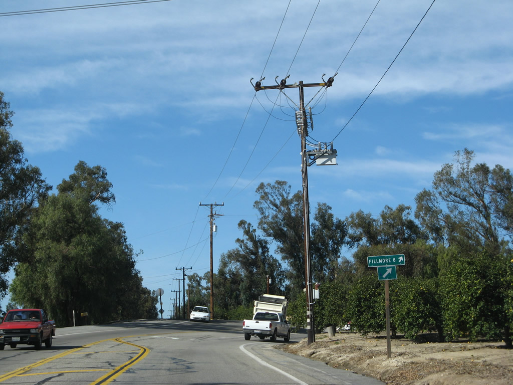
California 23 turns west from the freeway off-ramp to join Los Angeles Avenue en route to Fillmore.
02/02/08
California 23 passes under the Moorpark Freeway / Simi Valley Freeway. Ahead, Los Angeles Avenue travels west toward downtown Moorpark. Turn left at the next traffic signal to connect to California 23 south back to Thousand Oaks.
02/02/08
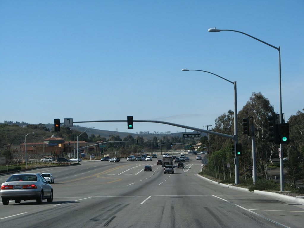
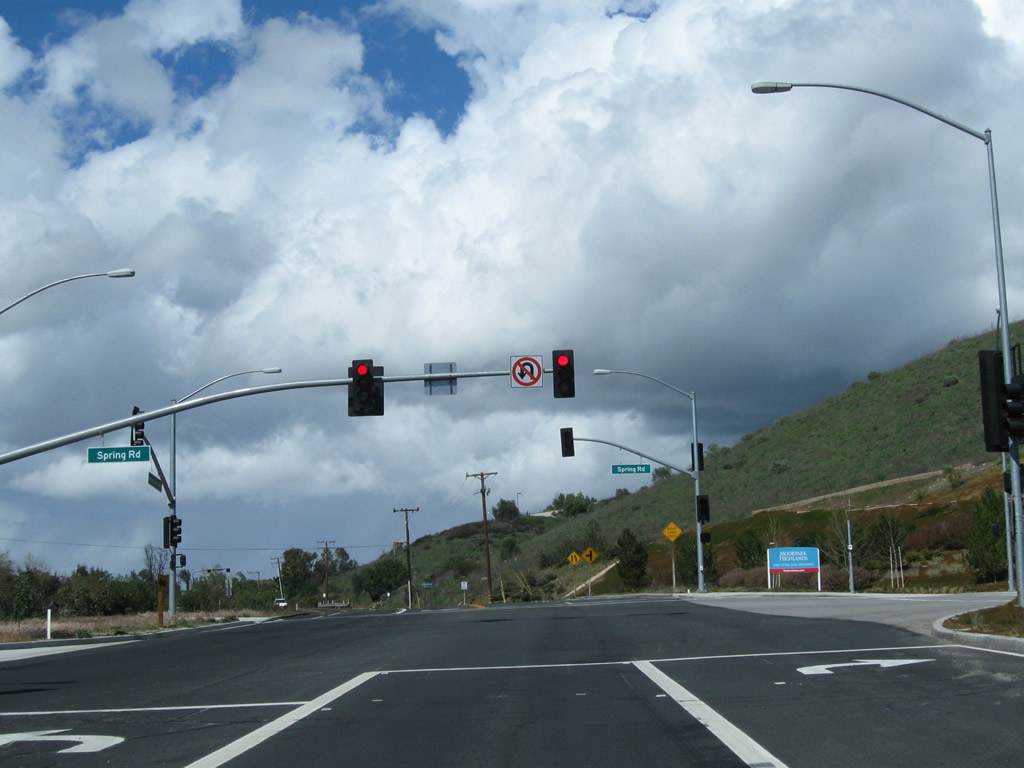
California 23 north and California 118 (Los Angeles Avenue) west follow a shared alignment between the freeway and Moorpark Avenue in central Moorpark. The first traffic signal connects to Moorpark Marketplace, a shopping mall with food and shopping.
02/02/08
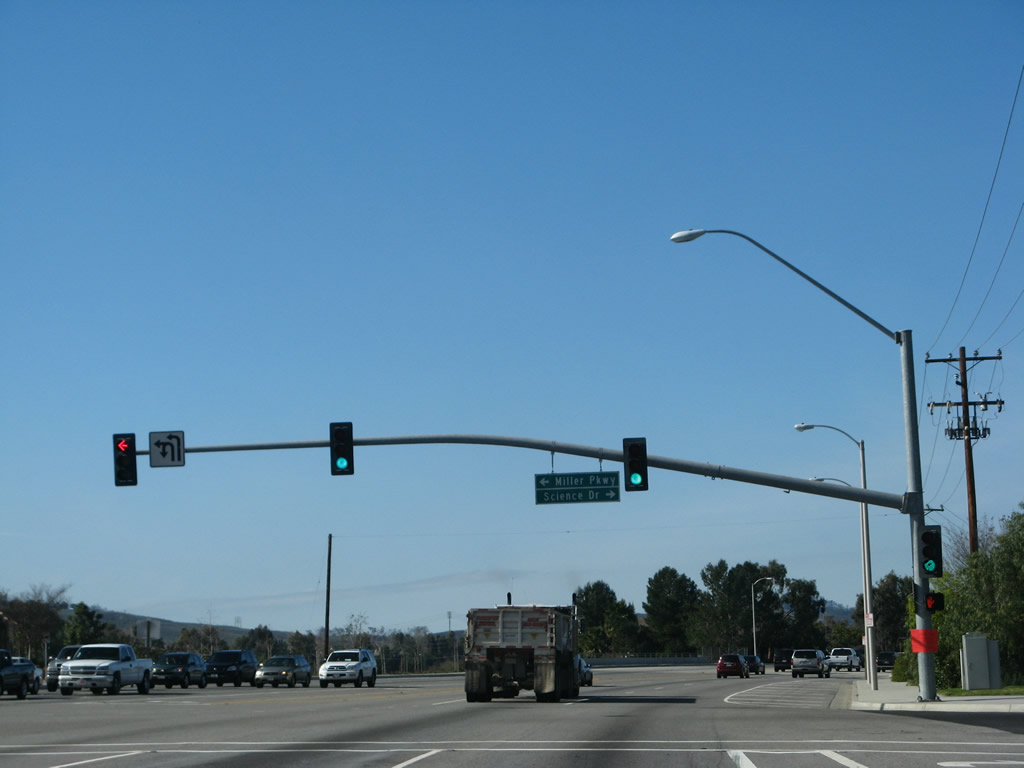
A short distance later, California 23 north and California 118 (Los Angeles Avenue) west approach Miller Parkway, which travels south through residential areas before changing into Moorpark Road (not to be confused with Moorpark Avenue).
02/02/08
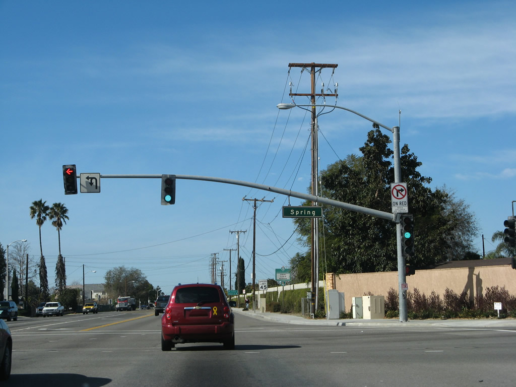
Northbound California 23 and westbound California 118 (Los Angeles Avenue) approach Spring Road at the next traffic signal. Turn right on Spring Road to historic downtown Moorpark located along High Street. Spring Road north to High Street west provides an alternative route to California 23's signed route north to Fillmore. Only a California 118 trailblazer is posted at this intersection.
02/02/08
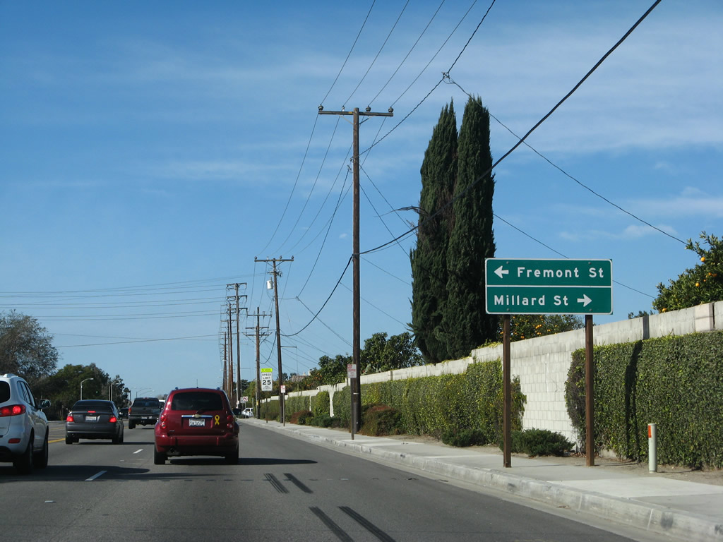
After the Spring Road intersection, California 23 north and California 118 (Los Angeles Avenue) west approach Fremont Street south and Millard Street north.
02/02/08
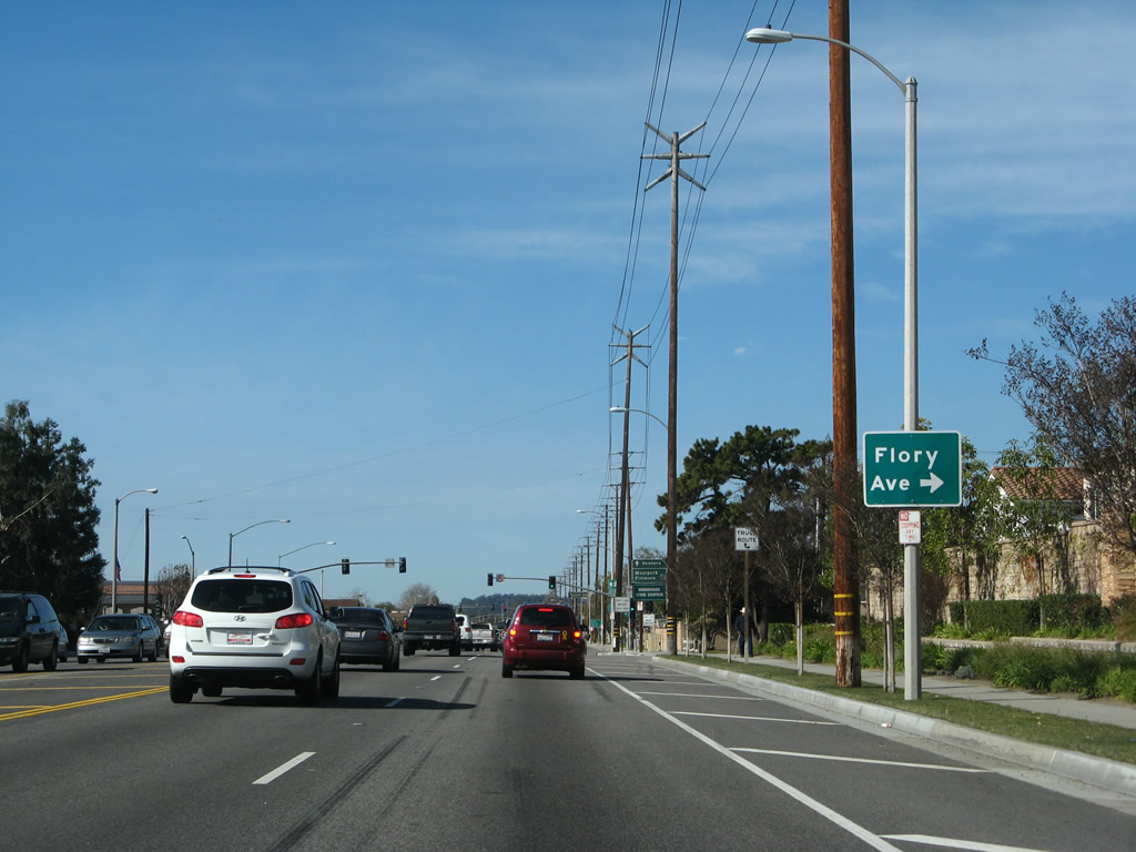
Northbound California 23 and westbound California 118 (Los Angeles Avenue) meet Flory Avenue.
02/02/08
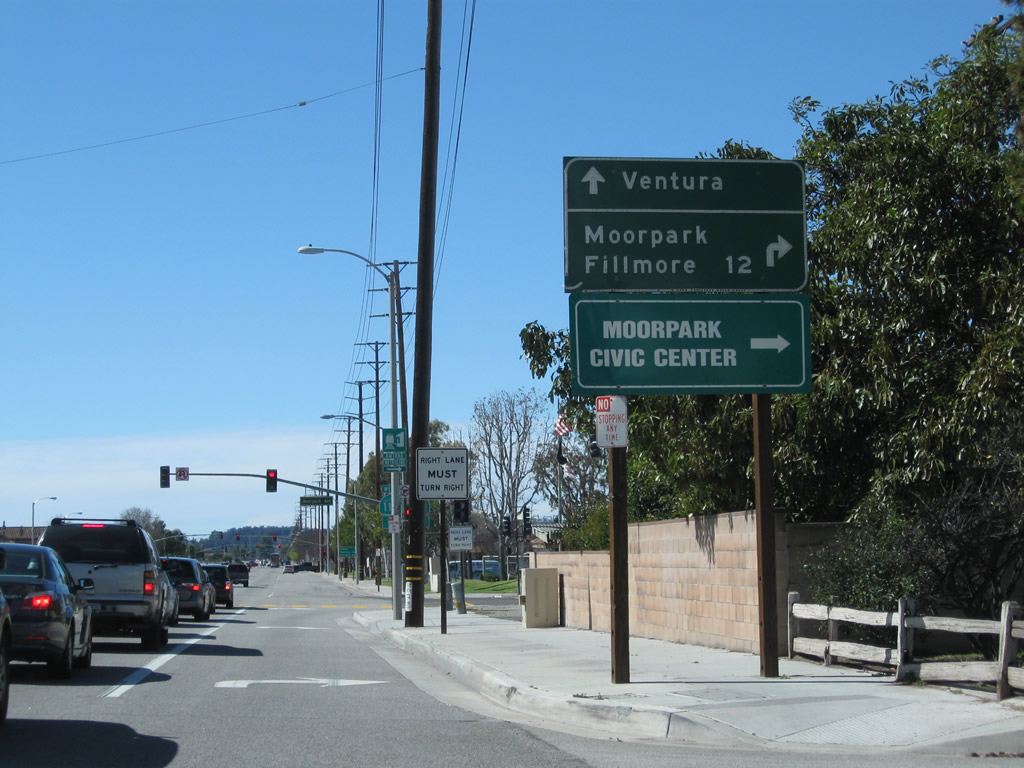
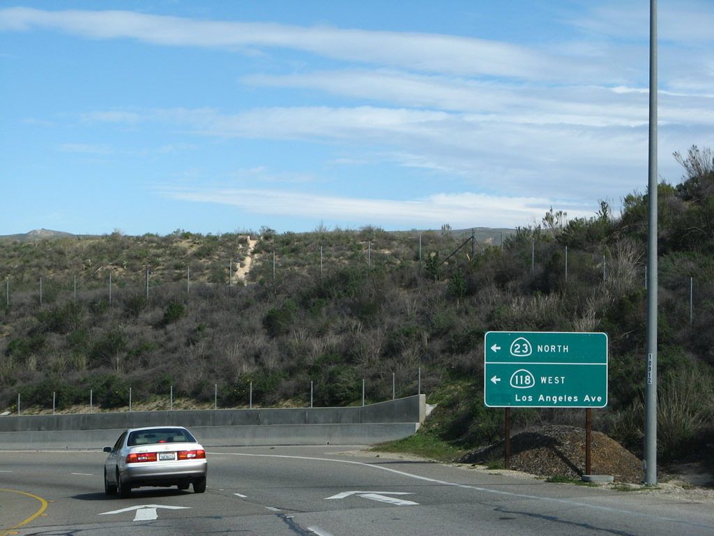
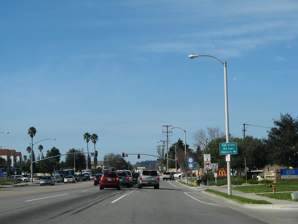
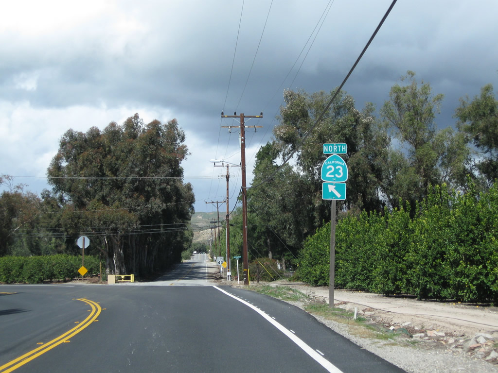
California 23 north and California 118 west will split at the next intersection. California 118 (Los Angeles Avenue) continues west toward Ventura, while California 23 (Moorpark Avenue) travels north toward Fillmore.
02/26/11
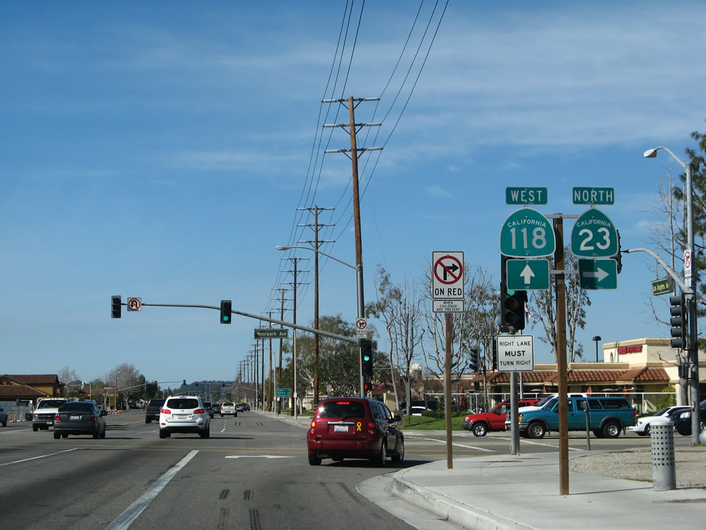
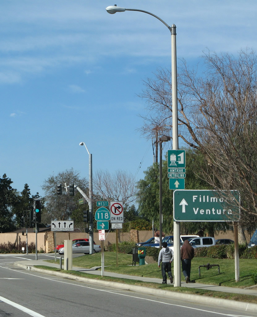
The two state routes divide at the intersection with Moorpark Avenue. California 23 north turns right, while California 118 west continues along Los Angeles Avenue (straight ahead). Turn right onto California 23 north to the Amtrak and Metrolink station.
02/02/08
Leaving California 118 (Los Angeles Avenue), northbound California 23 resumes its own alignment by taking Moorpark Avenue toward downtown Moorpark and onward toward Fillmore. The rest of the state route between here and Fillmore is generally two lanes with a winding drive downhill segment along the Grimes Canyon Road alignment.
02/02/08
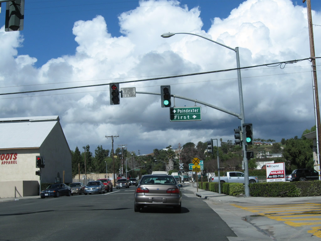
Northbound California 23 (Moorpark Avenue) meets Poindexter Avenue west and First Street east.
02/26/11
Continue north on Moorpark Avenue to downtown Moorpark. California 23 next crosses over the railroad (Amtrak and Metrolink).
02/02/08
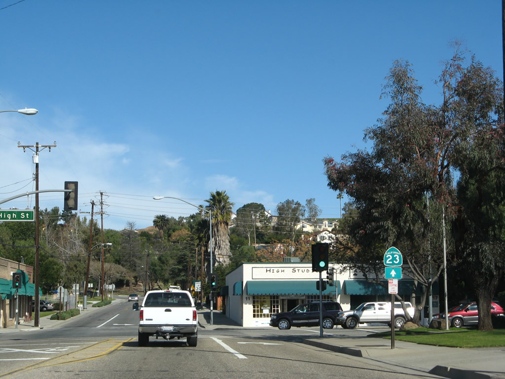
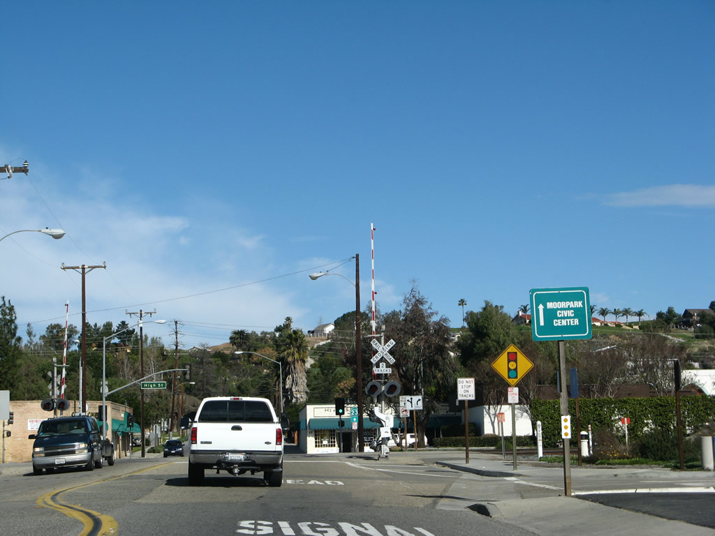
The next major intersection along California 23 (Moorpark Avenue) north is with High Street. Turn right here for downtown Moorpark. The second left is for Moorpark's Civic Center. At the following intersection (with Everett Street), California 23 will change from Moorpark Avenue to Walnut Canyon Road.
02/02/08
California 23 gains a center turn lane the roadway shifts toward the northwest. The road changes from Moorpark Avenue into Walnut Canyon Road.
02/26/11
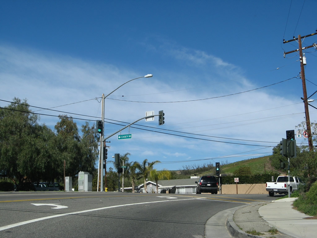
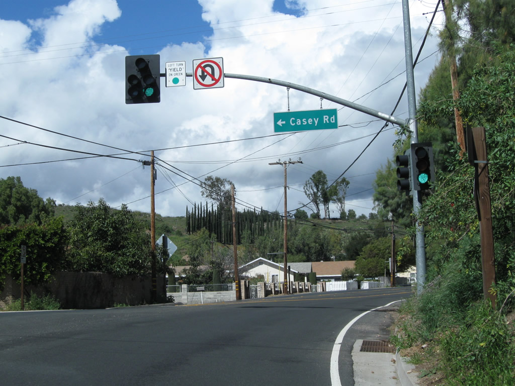
Northbound California 23/Walnut Canyon Road approaches Casey Street, which travels west toward Walnut Canyon School. Two sets of signs for Casey Street are posted on the traffic signal mast arms since the intersection is located on a somewhat blind curve.
02/02/08
02/26/11
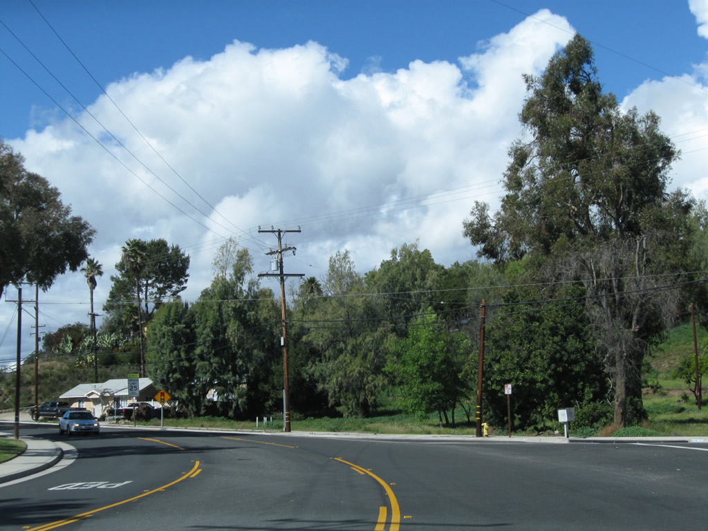
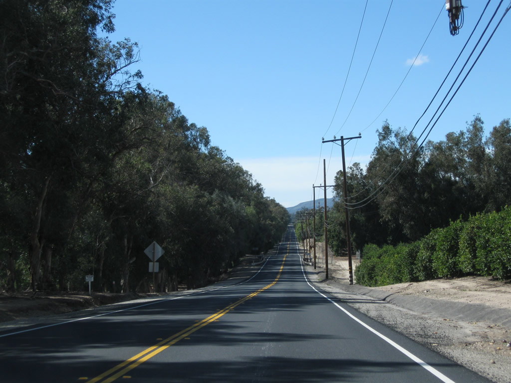
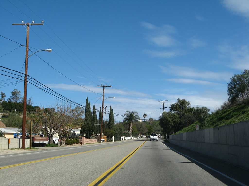
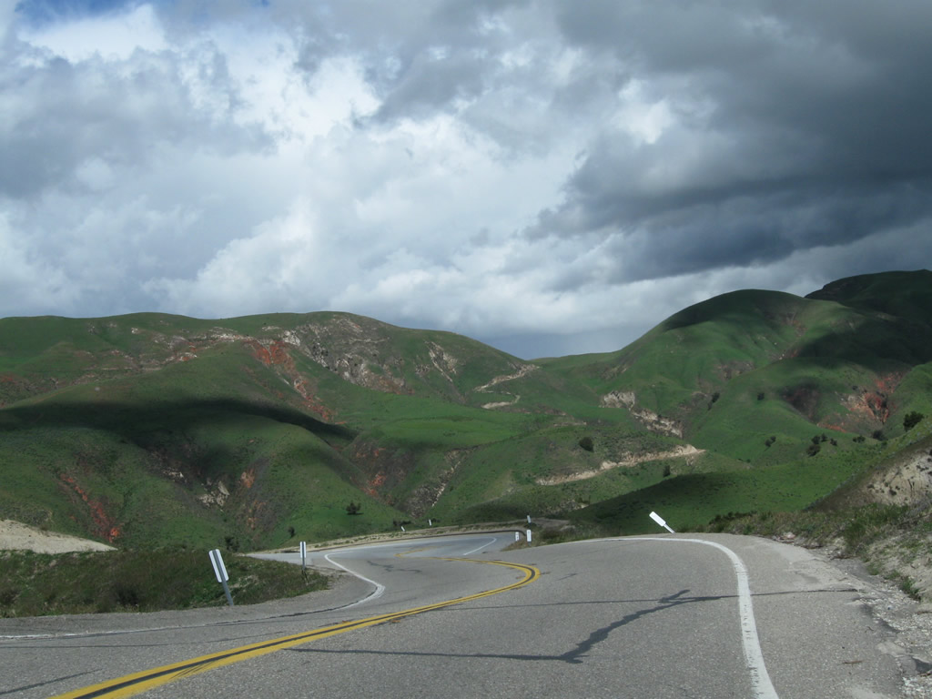
California 23 proceeds north along Walnut Canyon Road through northern Moorpark as the state highway leaves the city and reenters the rural countryside.
02/26/11
02/02/08
07/26/11
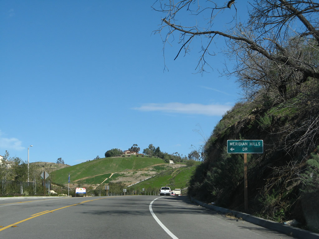
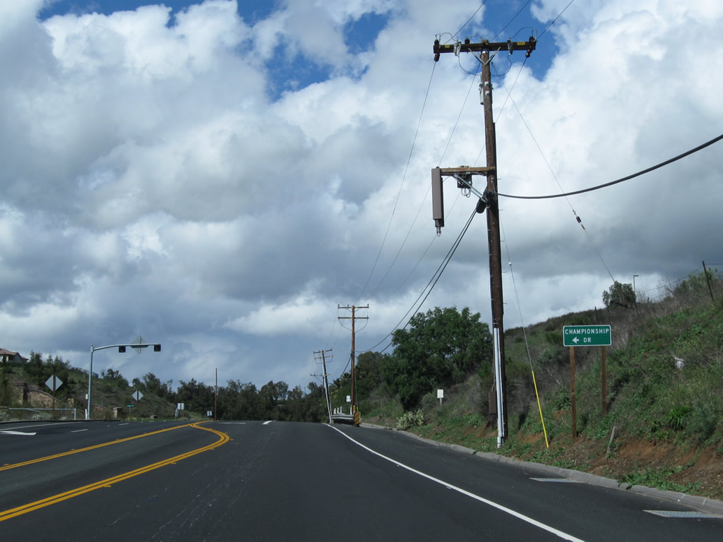
Meridian Hills Drive connects California 23 passes with a newer residential development on the west side of the state route. A new traffic signal governs the flow of traffic at Spring Road, which travels south to reconnect with California 23-118/Los Angeles Avenue just west of the Moorpark Freeway / Simi Valley Freeway interchange. Championship Drive connects to Moorpark Country Club, which includes a residential community adjacent to the golf course.
02/02/08
02/26/11
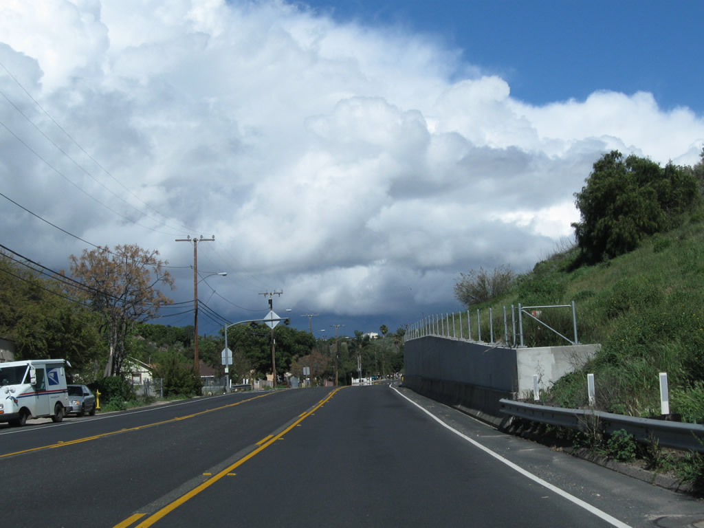
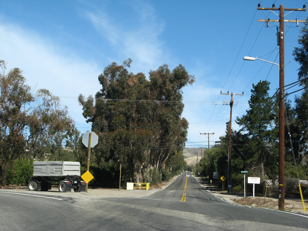
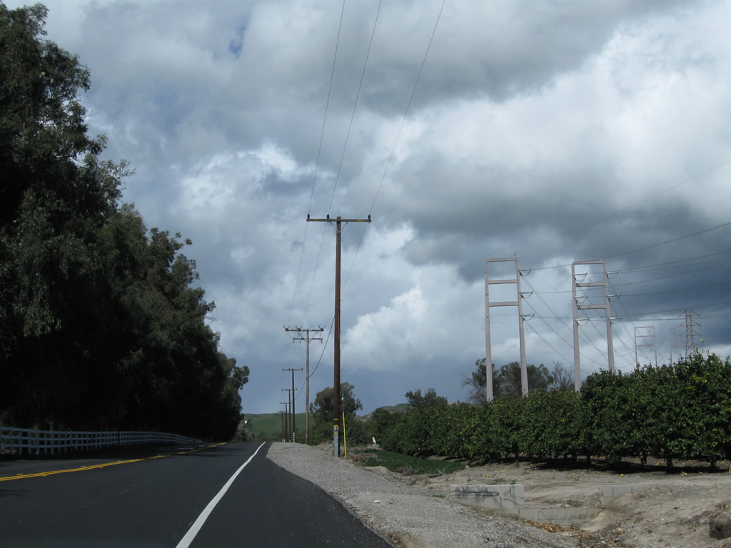
Progressing north from Moorpark, SR 23 has. The state route transitions from Walnut Canyon Road onto Broadway Road along this stretch.
02/26/11
02/02/08
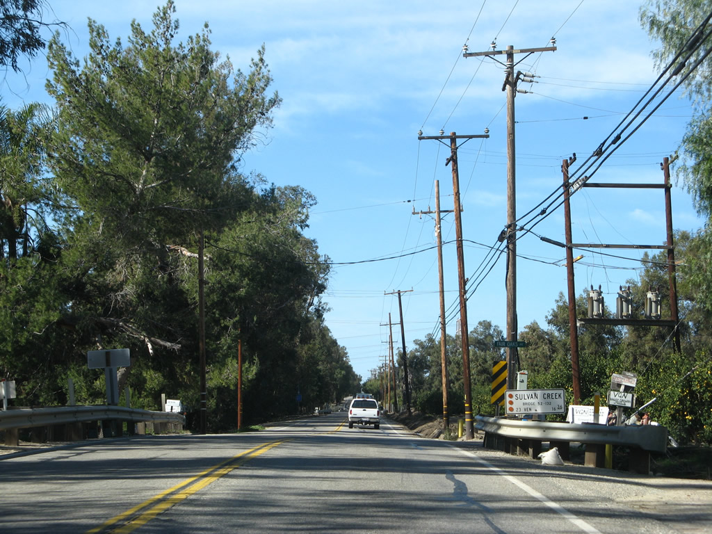
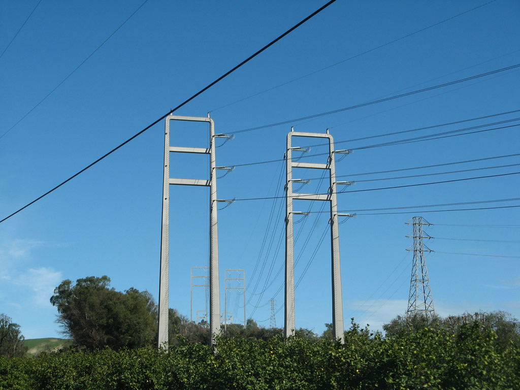
Northbound California 23 actually travels due west along Broadway Road. At the western end, where California 23 curves north onto Grimes Canyon Road, a set of Southern California Edison high-voltage power lines pass overhead.
02/02/08
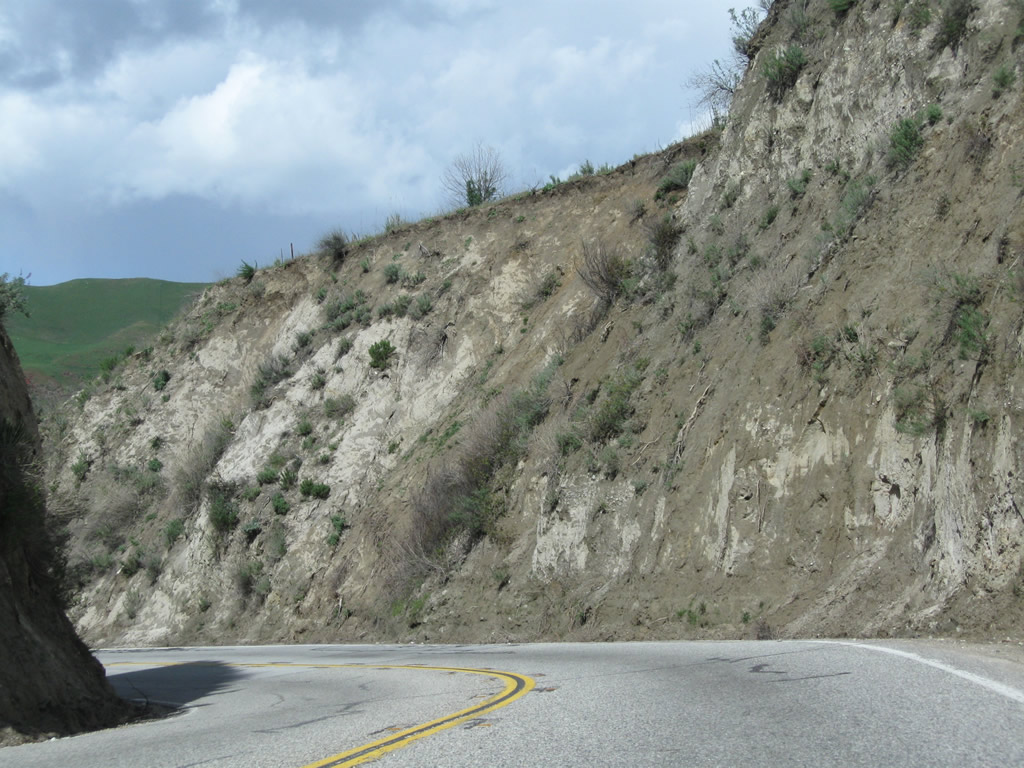
Curving from westbound Broadway Road onto northbound Grimes Canyon Road, California 23 resumes its trek north toward Fillmore and California 126. The highway passes through fertile agricultural areas before dropping into the Santa Clara River valley.
02/02/08
02/26/11
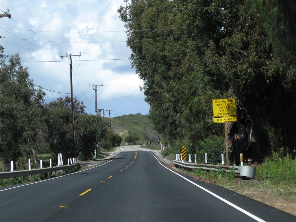
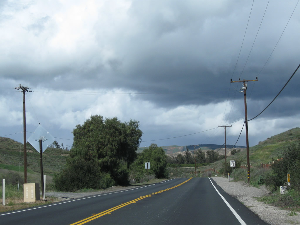
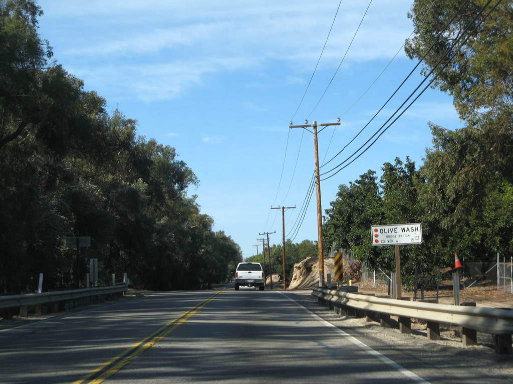
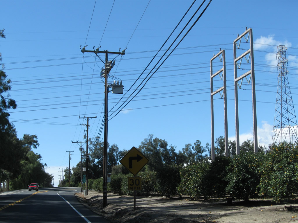
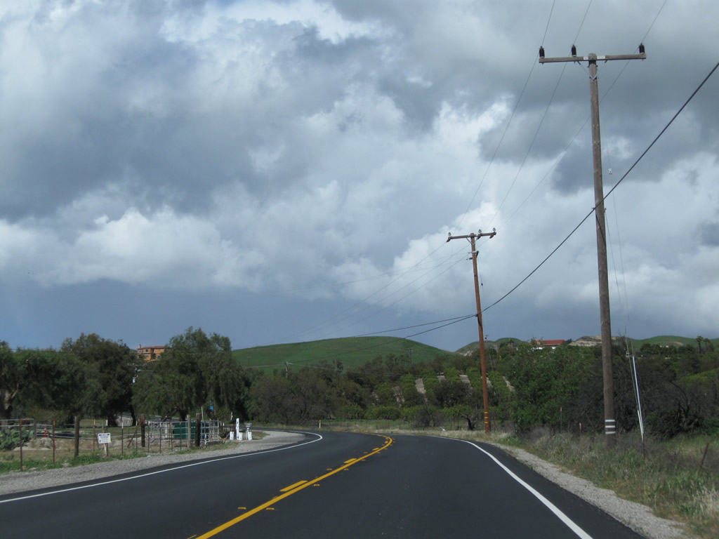
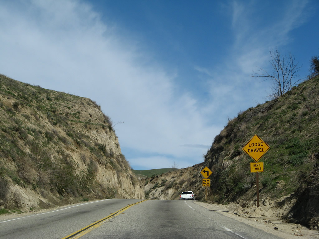
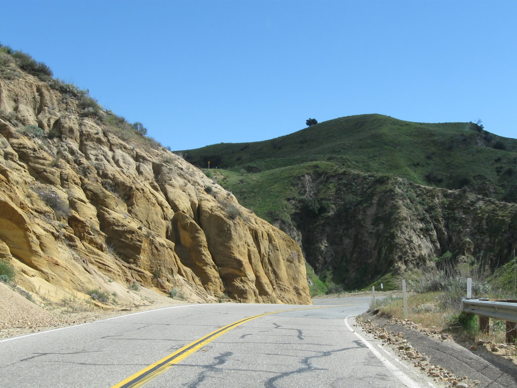
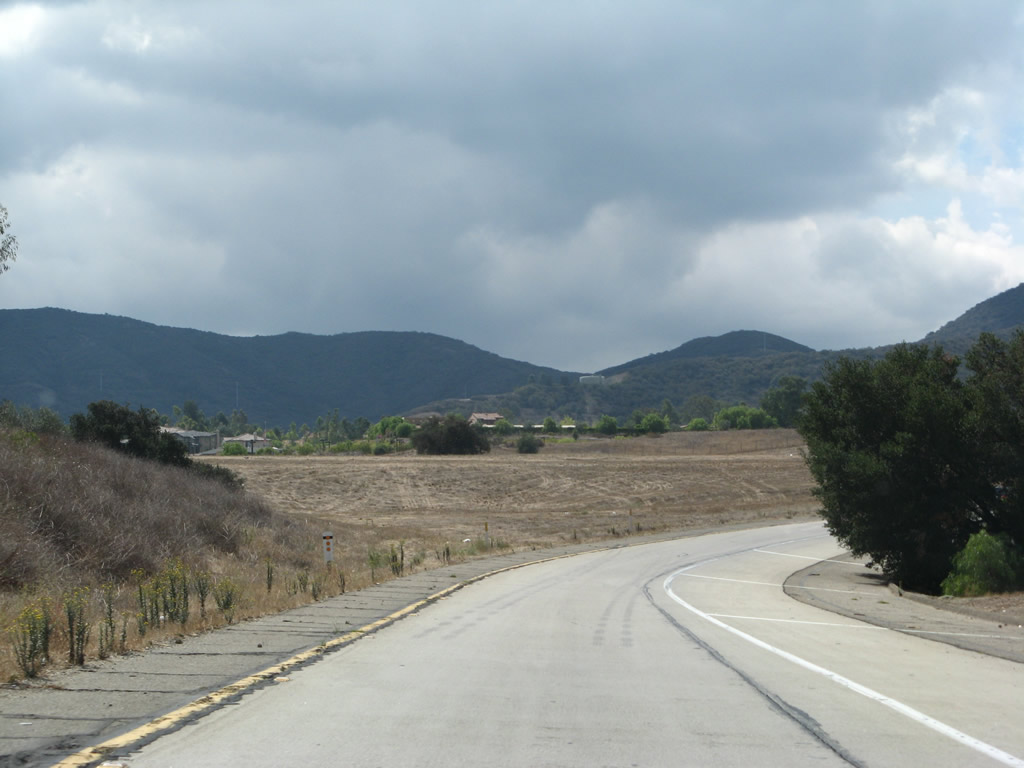
Two-lane California 23 leaves the agricultural area ahead of the descent into Grimes Canyon. While making several curves along this section of highway, these are gentle as compared to the switchbacks further ahead.
02/26/11
02/02/08
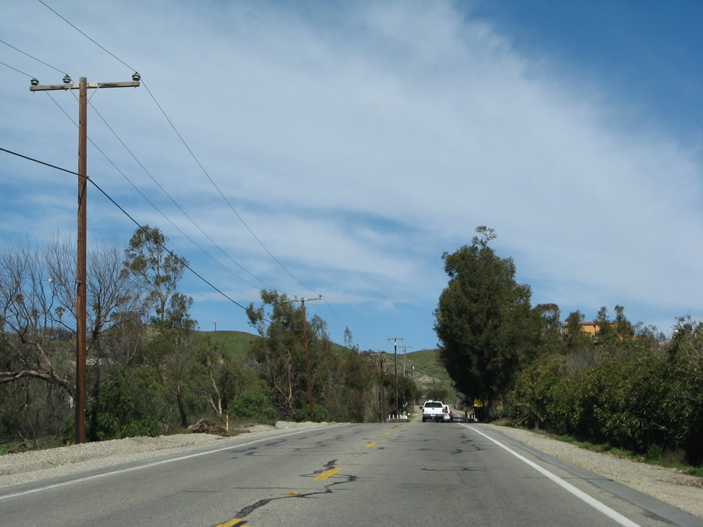
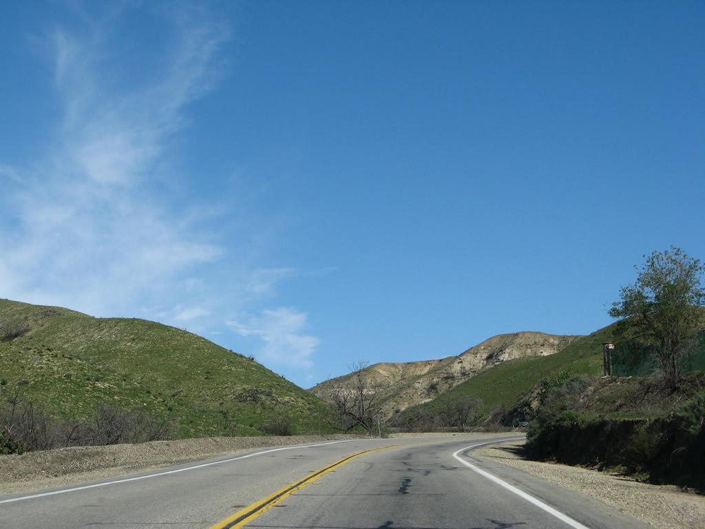
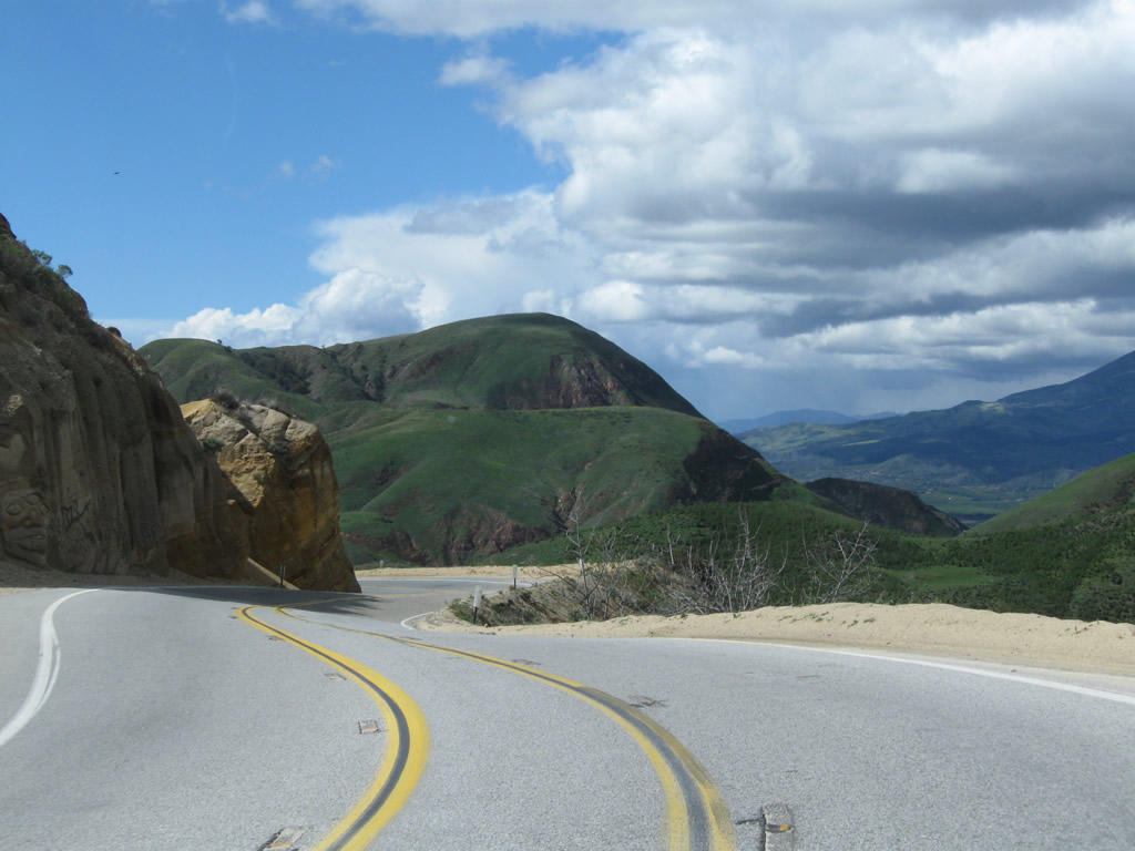
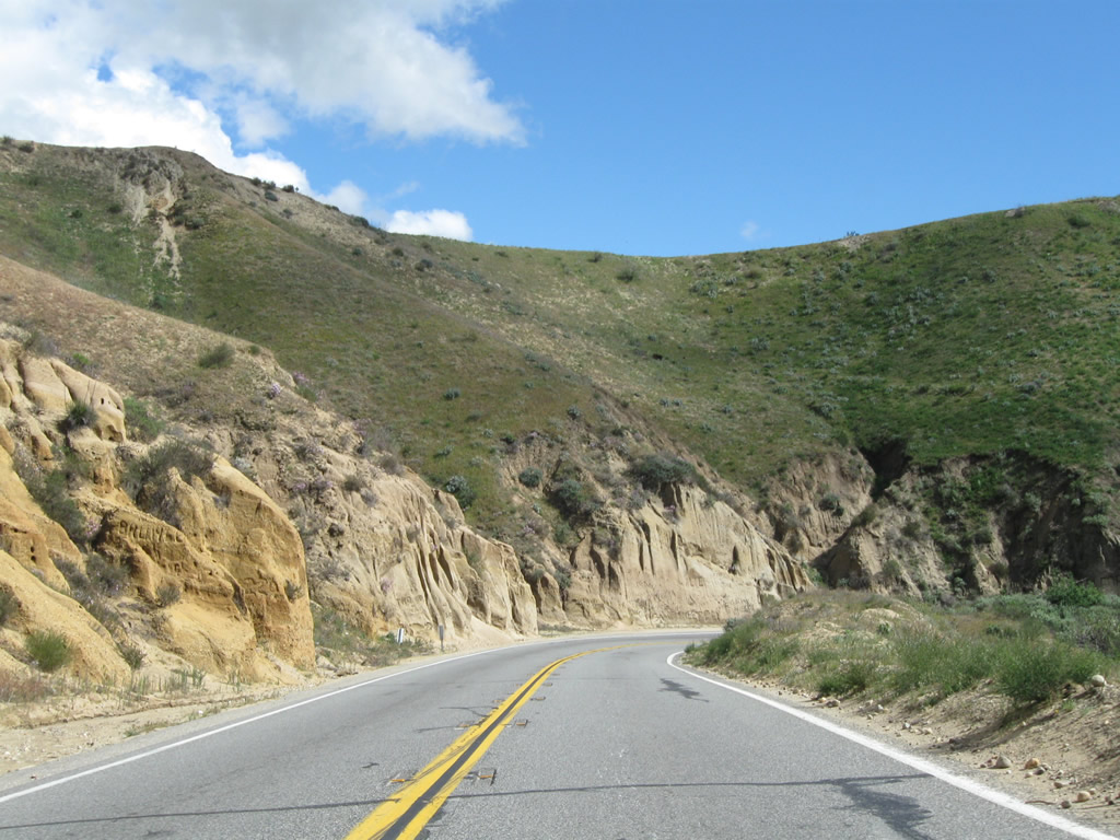
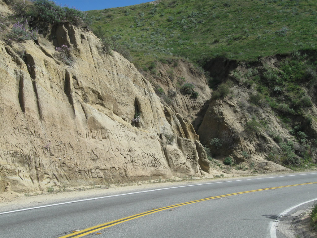
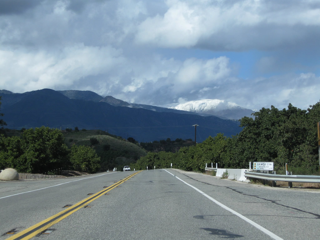
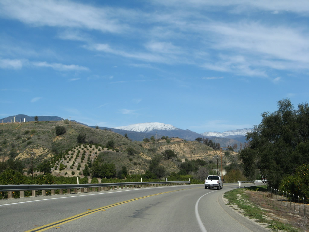
This series of pictures follows California 23 north along Grimes Canyon Road downhill toward Fillmore.
02/26/11
02/02/08
02/26/11
02/02/08
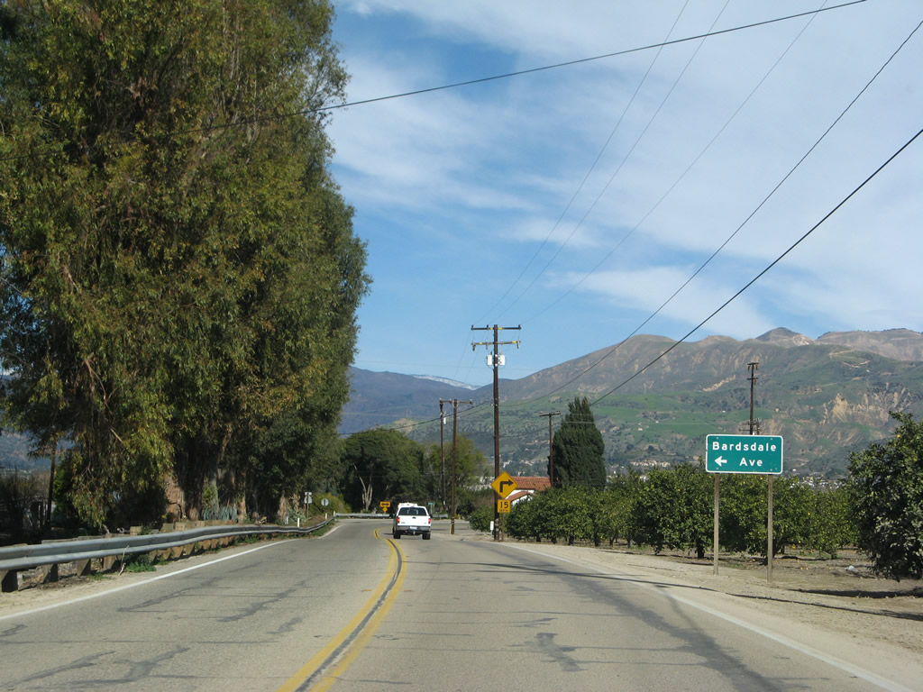
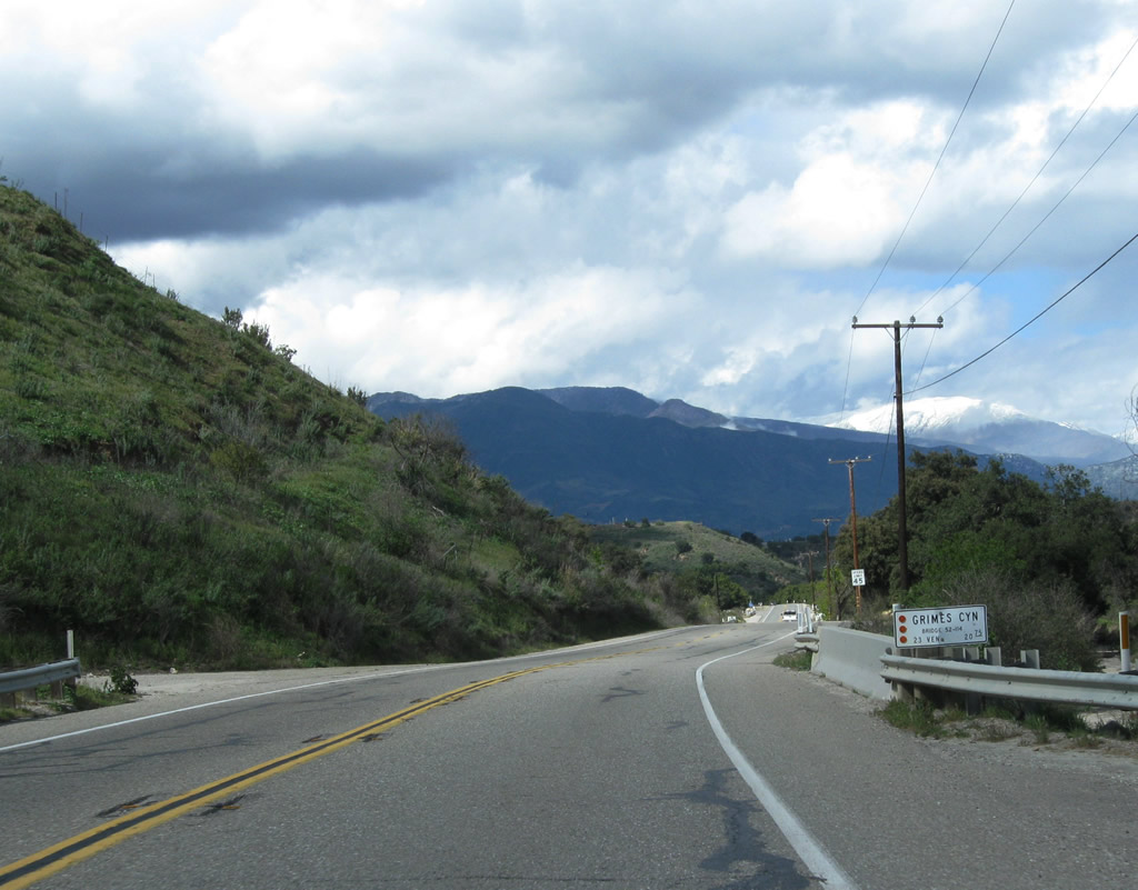
California 23 makes a 90-degree turn to the east, leaving Grimes Canyon Road and shifting onto Bellevue Avenue. Bardsdale Avenue west heads into agricultural and ranch lands.
02/02/08
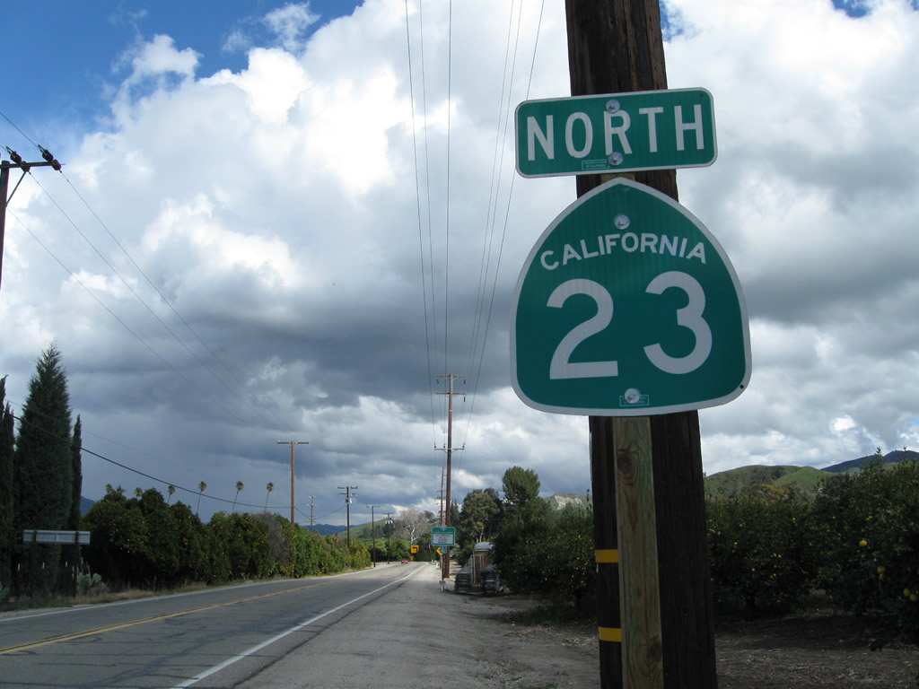
A California 23 north reassurance shield is posted on Bellevue Avenue on the short segment between Grimes Canyon Road and Chambersburg Road (next left visible in the distance).
02/26/11
California 23 makes the turn north onto Chambersburg Road near Elkins Ranch Golf Course.
02/26/11
Northbound California 23 (Chambersburg Road) now makes a straight shot toward Fillmore. The two-lane highway has few curves, especially as compared to the Grimes Canyon segment.
02/26/11
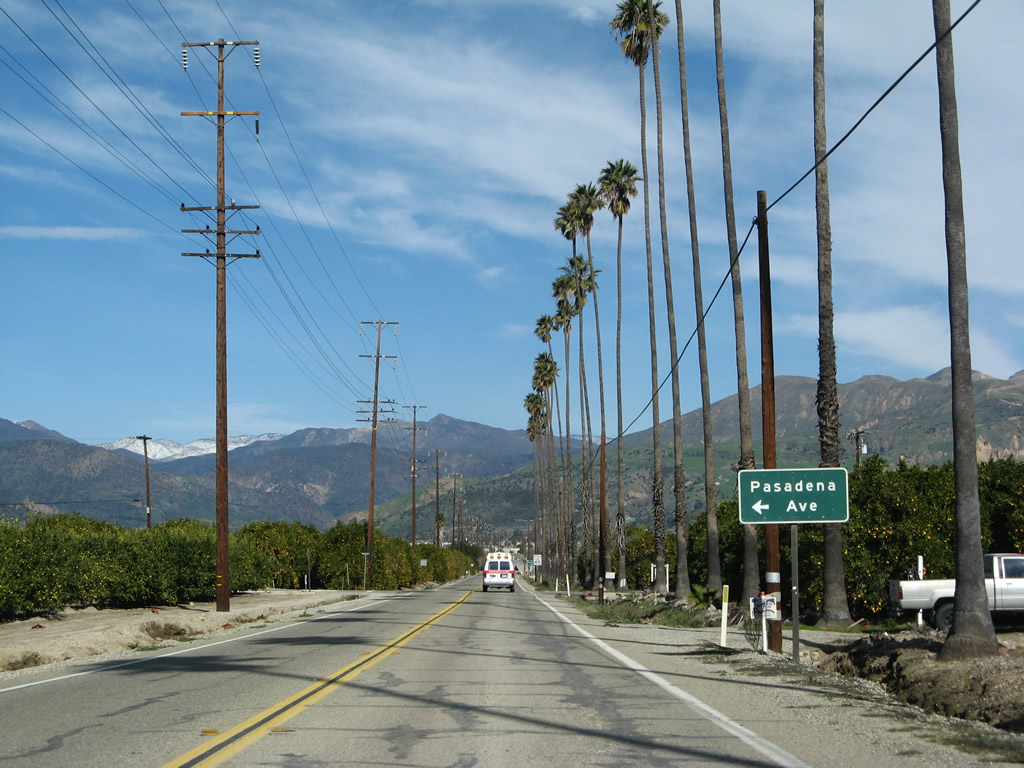
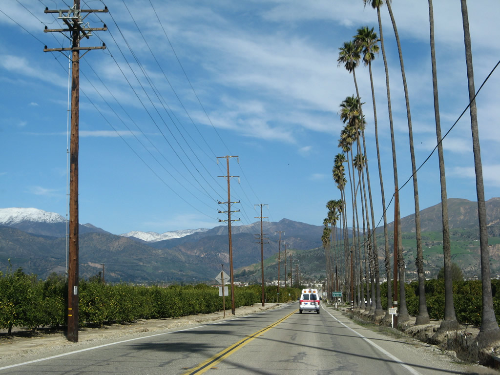
Oranges ripen on the trees as California 23 (Chambersburg Road) approaches Pasadena Avenue.
02/02/08
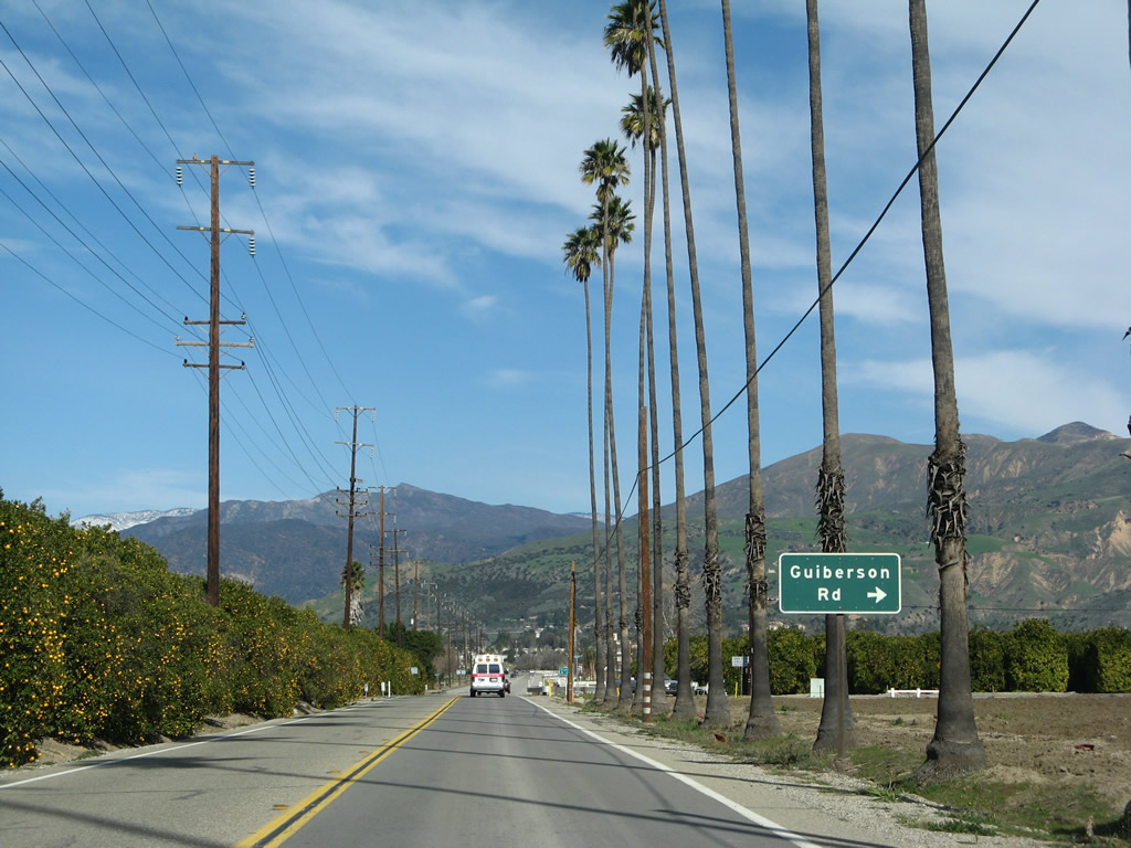
The next turnoff from California 23 (Chambersburg Road) north is Guiberson Road.
02/26/11
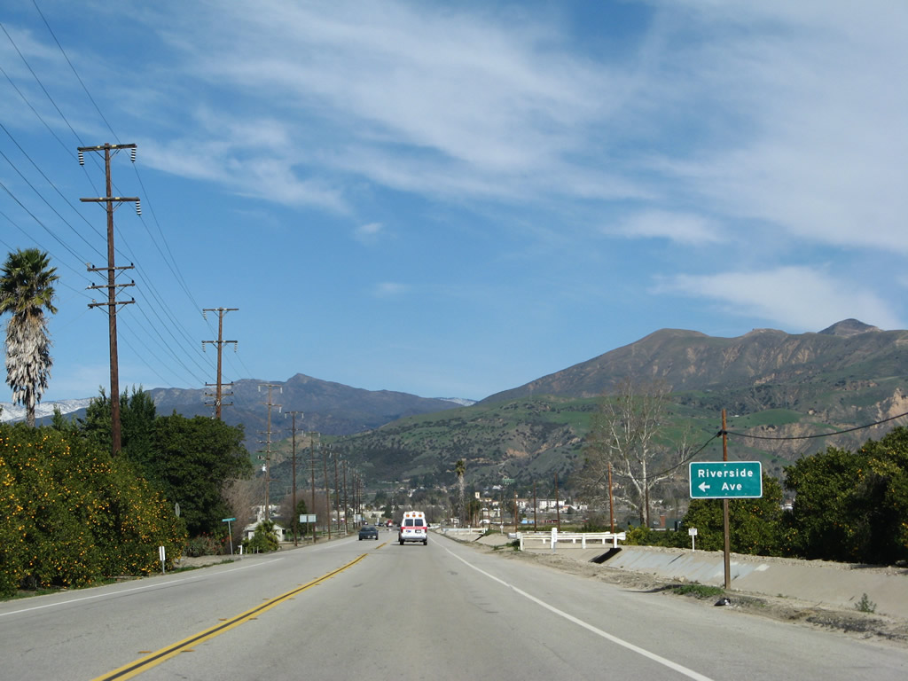
SR 23 (Chambersburg Road) north within the vicinity of Riverside Avenue.
02/02/08
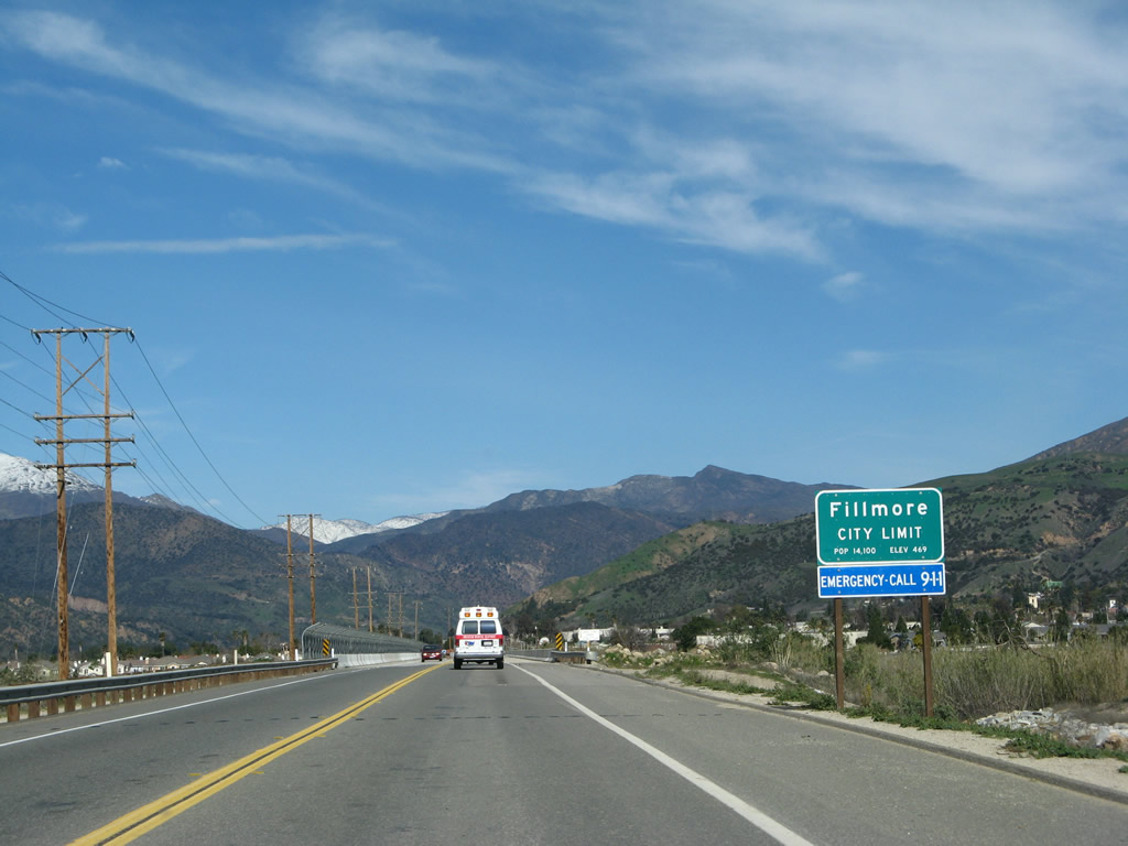
California 23 enters the city of Fillmore and prepares the cross over the Santa Clara River. Fillmore, the "Last Best Small Town," is situated at the intersection of California 23 and California 126. The population of Fillmore was 13,643 as of the 2000 Census. The city was incorporated on July 10, 1914.
02/02/08
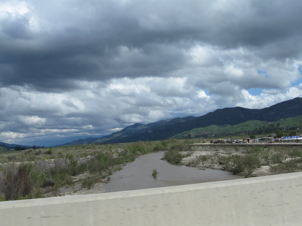
The Santa Clara River is part of a major Southern California watershed, carrying water from the hills above Santa Clarita southwest toward the Pacific Ocean between Ventura and Oxnard. The river generally follows California 126 and carries water from several locally known creeks: Sespe Creek, Piru Creek, Castaic Creek, and San Francisquito Creek.
02/02/08
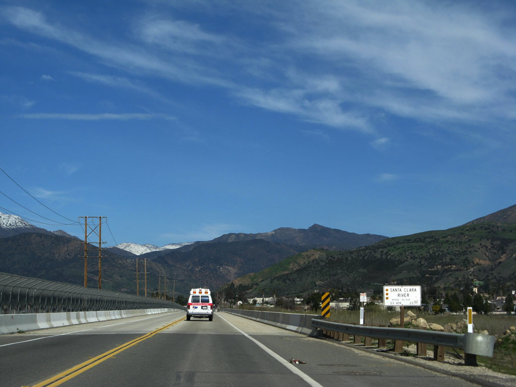
Since the Santa Clara River is not channeled (similar to the Los Angeles River), the bridge for California 23 must be long to accommodate flood stage. California 23 changes into A Street upon crossing the river.
02/26/11
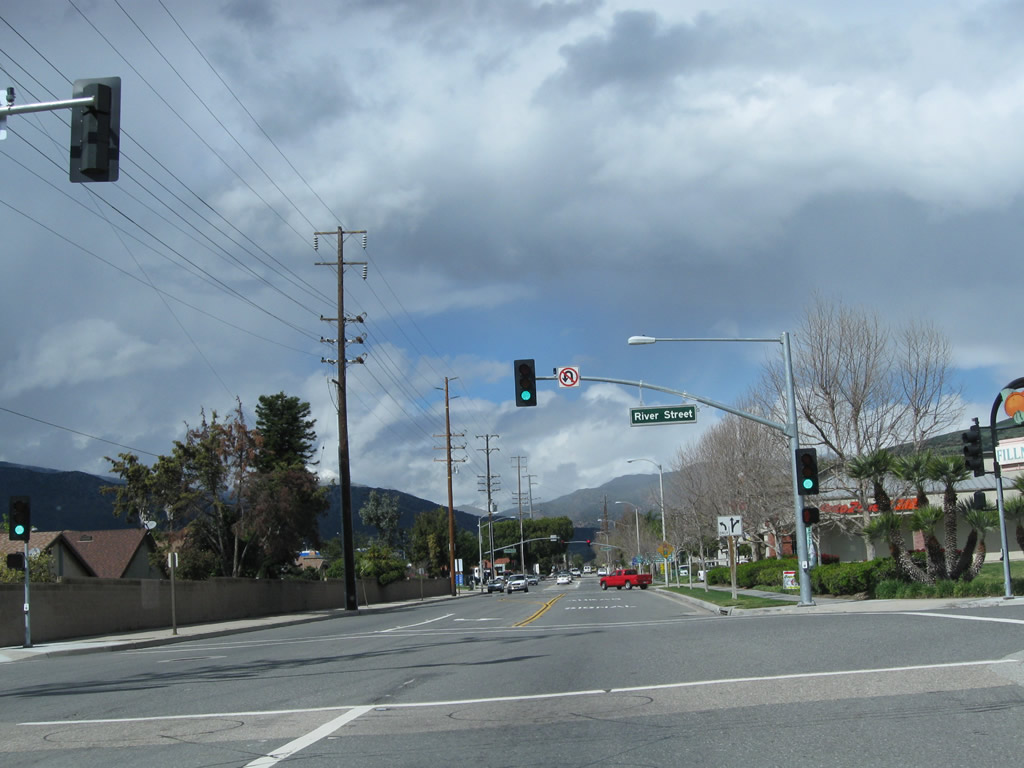
Northbound California 23 (A Street) at River Street.
02/26/11
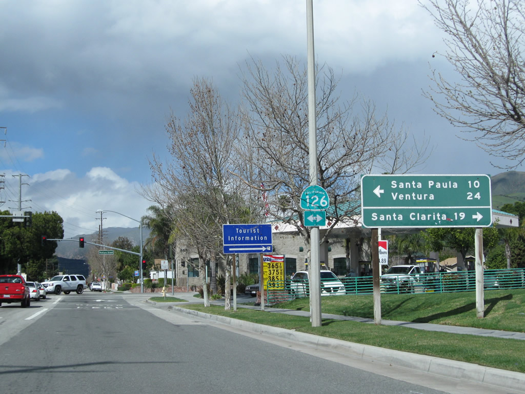
In the next block, California 23 (A Street) north approaches California 126 (Ventura Street). California 126 travels east to Santa Clarita or west to Santa Paula and Ventura. This busy state highway has at least four lanes through Fillmore.
02/26/11
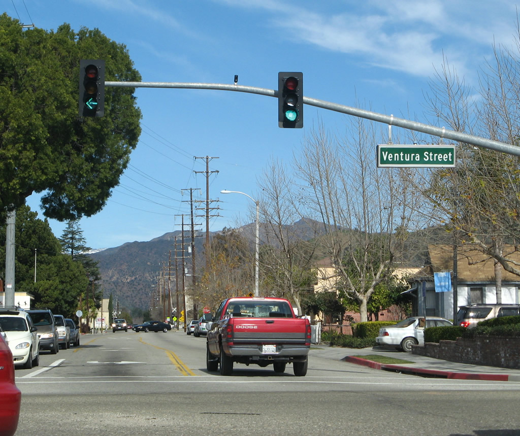
Northbound California 23 (A Street) meets California 126 (Ventura Street) at this traffic signal. This intersection marks the northern terminus of California 23, but no end shield is posted here. To the north, A Street connects to Old Telegraph Road (an old alignment of California 126 west) and eventually changes into Goodenough Road as it travels north alongside Sespe Creek.
02/26/11
After traffic from California 118 (Simi Valley Freeway) merges with the California 23 on-ramp from Los Angeles Avenue, the Moorpark Freeway begins to head south toward Thousand Oaks. An interchange sequence sign provides the distance to the first three exits on California 23 (Moorpark Freeway) south: Exit 19, Tierra Rejada Road; Exit 17, Olsen Road; and Exit 16, Sunset Hills Boulevard.
09/29/07
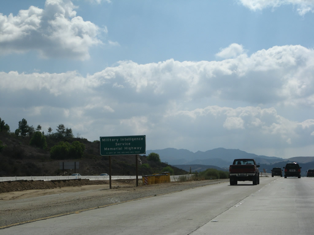
Between California 118 and U.S. 101, California 23 is known both as the Moorpark Freeway and as the Military Intelligence Service Memorial Highway. This sign is posted in the median just after the on-ramp from Los Angeles Avenue.
09/29/07
Southbound California 23 (Moorpark Freeway) reaches Exit 19, Tierra Rejada Road in the city of Moorpark. Construction was underway at the time this picture was taken to add a third lane to both directions of California 23. As a result, this sign has been replaced with a reflective guide sign with an exit number.
09/29/07
The next exit along California 23 (Moorpark Freeway) south is Exit 17, Olsen Road (sign has since been replaced).
09/29/07
This interchange sequence sign provides the distance to the first three exits on California 23 (Moorpark Freeway) south: Exit 17, Olsen Road; Exit 16, Sunset Hills Boulevard; and Exit 15, Avenida de los Arboles.
09/29/07
The next five exits from California 23 (Moorpark Freeway) south serve the city of Thousand Oaks: Exit 17, Olsen Road; Exit 16, Sunset Hills Boulevard; Exit 15, Avenida de los Arboles; Exit 14, Janss Road; and Exit 13, Hillcrest Drive and Thousand Oaks Boulevard.
09/29/07
Use Olsen Road east to the Ronald Reagan Presidential Library and Air Force One. East of here, Olsen Road changes into Madera Road, which travels northeast to the library and continues to meet California 118 in Simi Valley.
09/29/07
Thousand Oaks (often referred to as "to") was incorporated on September 29, 1964. Development of the city began in the 1950s as the Janss Investment Company master planned the city. Population growth has kept pace with development; its population was 117,005 as of the 2000 Census
09/29/07
Use Olsen Road west to California Lutheran University. Olsen Road turns south and changes into Lynn Road at the intersection with Wildwood Avenue in Thousand Oaks.
09/29/07
Southbound California 23 (Moorpark Freeway) reaches Exit 17, Olsen Road.
09/29/07
The next exit along California 23 (Moorpark Freeway) south is Exit 16, Sunset Hills Boulevard.
09/29/07
This mileage sign provides the distance for the next three exits on California 23 (Moorpark Freeway) south: Exit 16, Sunset Hills Boulevard; Exit 15, Avenida de los Arboles; and Exit 14, Janss Road.
09/29/07
Southbound California 23 (Moorpark Freeway) reaches Exit 16, Sunset Hills Boulevard.
09/29/07
The next exit along California 23 (Moorpark Freeway) south is Exit 15, Avenida de los Arboles (Spanish for "Avenue of the Trees").
09/29/07
This mileage sign provides the distance for the next three exits on California 23 (Moorpark Freeway) south: Exit 15, Avenida de los Arboles; Exit 14, Janss Road; and Exit 13, Hillcrest Drive and Thousand Oaks Boulevard.
09/29/07
Southbound California 23 (Moorpark Freeway) reaches Exit 15, Avenida de los Arboles.
09/29/07

The next exit along California 23 (Moorpark Freeway) south is Exit 14, Janss Road. This street was named after the original Thousand Oaks developers from the 1950s.
09/29/07
This mileage sign provides the distance for the next four exits on California 23 (Moorpark Freeway) south: Exit 14, Janss Road; Exit 13, Hillcrest Drive and Thousand Oaks Boulevard; and Exits 12B-A, U.S. 101 (Ventura Freeway).
09/29/07
Southbound California 23 (Moorpark Freeway) reaches Exit 14, Janss Road.
09/29/07
The next exit along California 23 (Moorpark Freeway) south is Exit 13, Hillcrest Drive and Thousand Oaks Boulevard.
09/29/07
The final three exits along the southbound Moorpark Freeway are: Exit 13, Hillcrest Drive and Thousand Oaks Boulevard; Exit 12B, U.S. 101 (Ventura Freeway) north (west) to Oxnard and Ventura; and Exit 12A, U.S. 101 (Ventura Freeway) south (east) to Los Angeles and California 23 south to Malibu. While California 23 is a true north-south route here, U.S. 101 travels almost due east-west through Thousand Oaks.
09/29/07
A final interchange sequence sign provides the distance to the final three exits along California 23 (Moorpark Freeway) south: Exit 13, Hillcrest Drive and Thousand Oaks Boulevard; Exit 12B, U.S. 101 (Ventura Freeway) north (west) to Oxnard and Ventura; and Exit 12A, U.S. 101 (Ventura Freeway) south (east) to Los Angeles and California 23 south to Malibu.
09/29/07
Southbound California 23 approaches Exit 13, Hillcrest Drive and Thousand Oaks Boulevard.
09/29/07
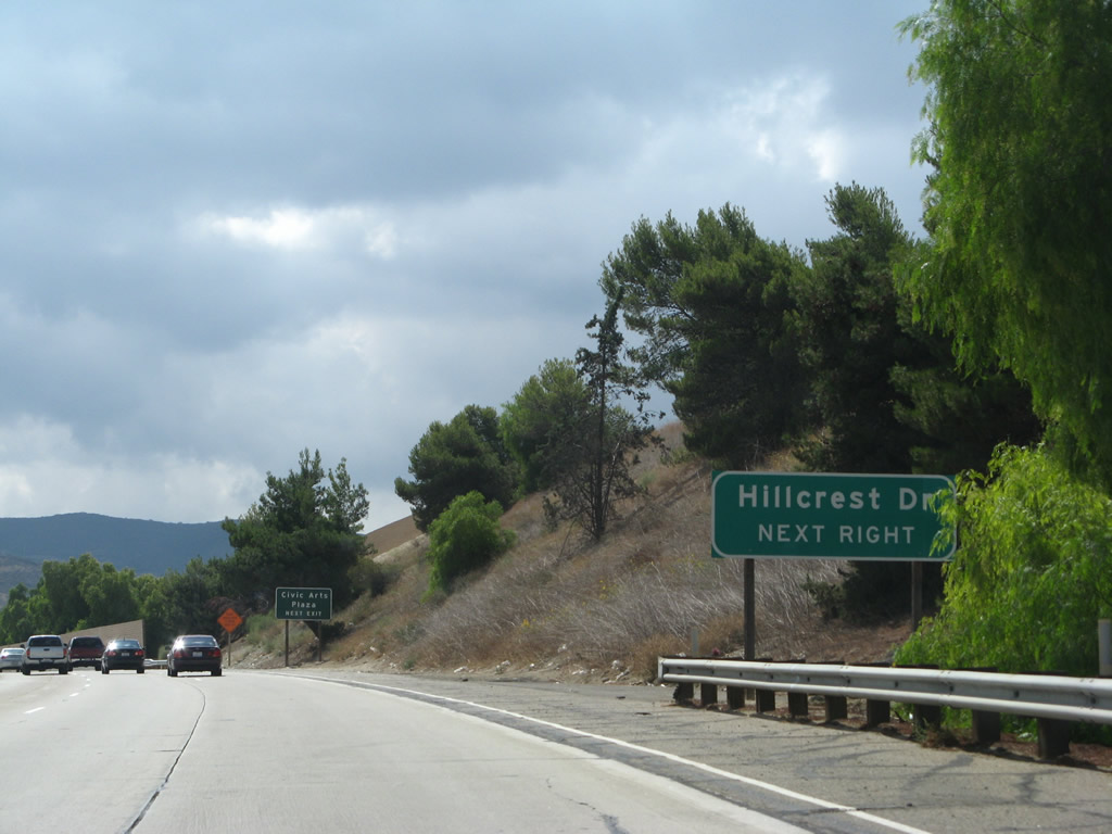
Exit 13 connects to Hillcrest Drive, Thousand Oaks Boulevard and Civic Arts Plaza. Upon exiting, the off-ramp becomes a frontage road with the first intersection at Hillcrest Drive and the second intersection with Thousand Oaks Boulevard.
09/29/07
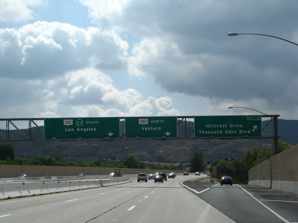
Southbound California 23 reaches Exit 13, Hillcrest Drive and Thousand Oaks Boulevard. The next exit is the junction with U.S. 101, a freeway-to-freeway interchange. Stay left for U.S. 101 and California 23 south. In the distance ahead lie the Santa Monica Mountains, which separate Thousand Oaks from the Pacific Ocean and Malibu. The Moorpark Freeway comes to a close here.
09/29/07
After the off-ramp to Hillcrest Drive, southbound California 23 splits at Exits 12B-A, U.S. 101 (Ventura Freeway). Stay left for the continuation of California 23. U.S. 101 and California 23 share alignment briefly before California 23 resumes its journey south to the ocean via Westlake Boulevard and Decker Road. Stay right to follow U.S. 101 north (west) to Ventura, Santa Barbara, and points north via the Central Coast.
09/29/07
A single lane connects California 23 south with U.S. 101 north (west) via Exit 12B.
09/29/07
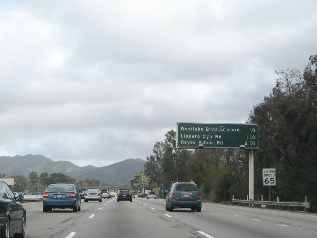
After merging with U.S. 101 (Ventura Freeway), a reassurance shield assembly includes U.S. 101 south but omits California 23 south. Through traffic to California 23 follows U.S. 101 south to Exit 40 for Westlake Boulevard.
09/29/07
A lane drop occurs along U.S. 101/SR 23 (Ventura Freeway) south at Exit 41 for Hampshire Road.
09/29/07
Exit 39 to Lindero Canyon Road follows the departure of SR 23 south from U.S. 101 in 2.5 miles.
09/29/07
Exit 41 to Hampshire Road is the second to last exit from U.S. 101 south in Thousand Oaks.
09/29/07
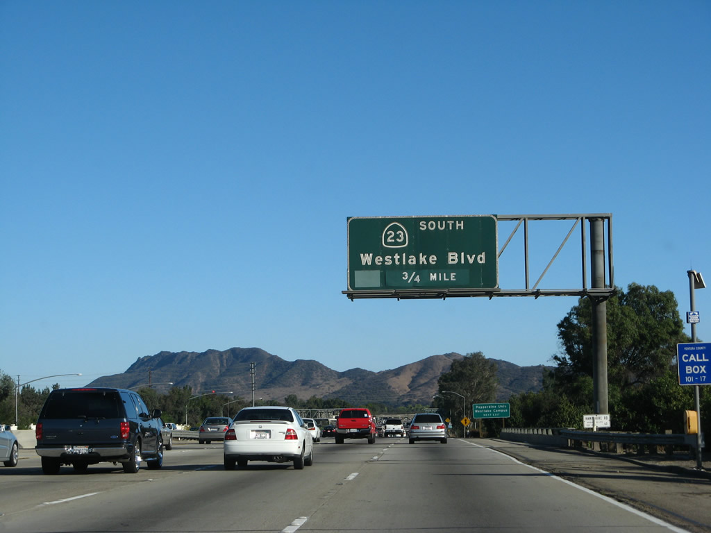
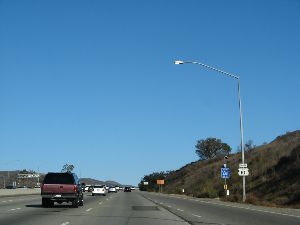
SR 23 parts ways with U.S. 101 south in 0.75 miles for Westlake Boulevard south.
09/29/07
Confirming markers for U.S. 101/SR 23 posted southbound after the entrance ramp from Hampshire Road.
09/29/07
Exit 38 for Adobe Road to Agoura Road departs from U.S. 101 two miles south of the separation with SR 23.
02/02/08
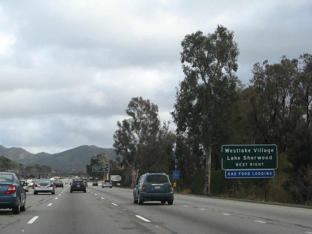
SR 23 (Westlake Boulevard) south connects U.S. 101 with Lake Sherwood via Potrero Road, and the city of Westlake Village via Triunfo Canyon Road.
02/02/08
Exit 40 departs from the Ventura Freeway southbound for the continuation of SR 23 along Westlake Boulevard.
02/02/08
Photo Credits:
- Andy Field: 12/23/04, 03/18/06, 09/29/07, 02/02/08, 02/26/11, 07/26/11
Connect with:
Page Updated Monday March 21, 2011.