
State Route 25
SR 25 angles northwest from SR 198 in eastern Monterey County to Bitterwater Valley and the San Benito County line. The state route traverses areas of the San Andrews Rift Zone northwest to Pinnacles National Monument along a rural course to Hollister Valley. Through the city of Hollister, SR 25 expands to four lanes along a bypass of the city center. The remainder of the route heads west across farm land to U.S. 101 (Exit 363) by the Carlyle Hills.
 North
North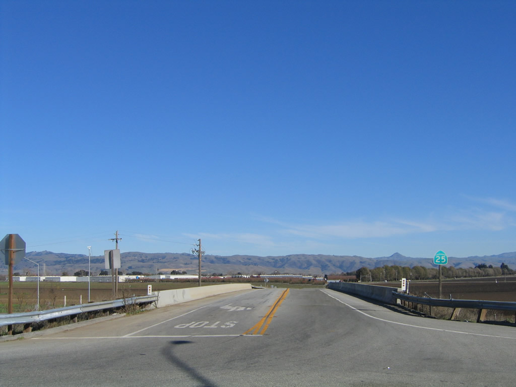
The first shield for SR 25 south stands by the U.S. 101 overpass underpass. The state route heads east from here to Santa Clara County Road G-7 (Bloomfield Road), then southeast toward Hollister.
11/29/04
South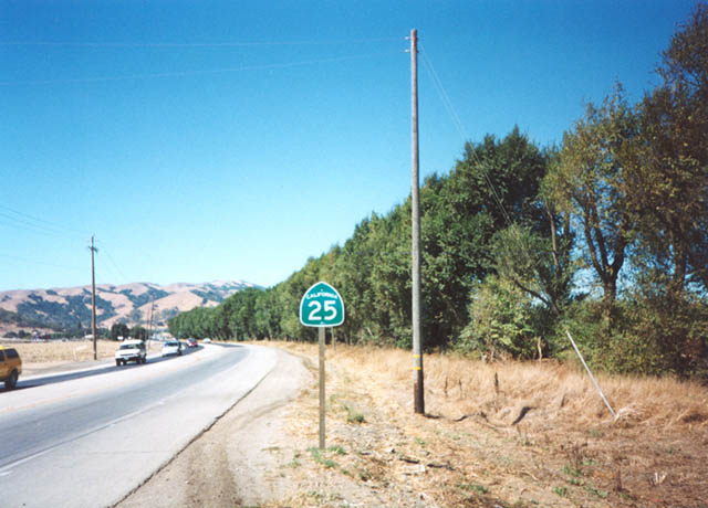
Reassurance marker posted for SR 25 north near the city of Hollister in San Benito County.
2002
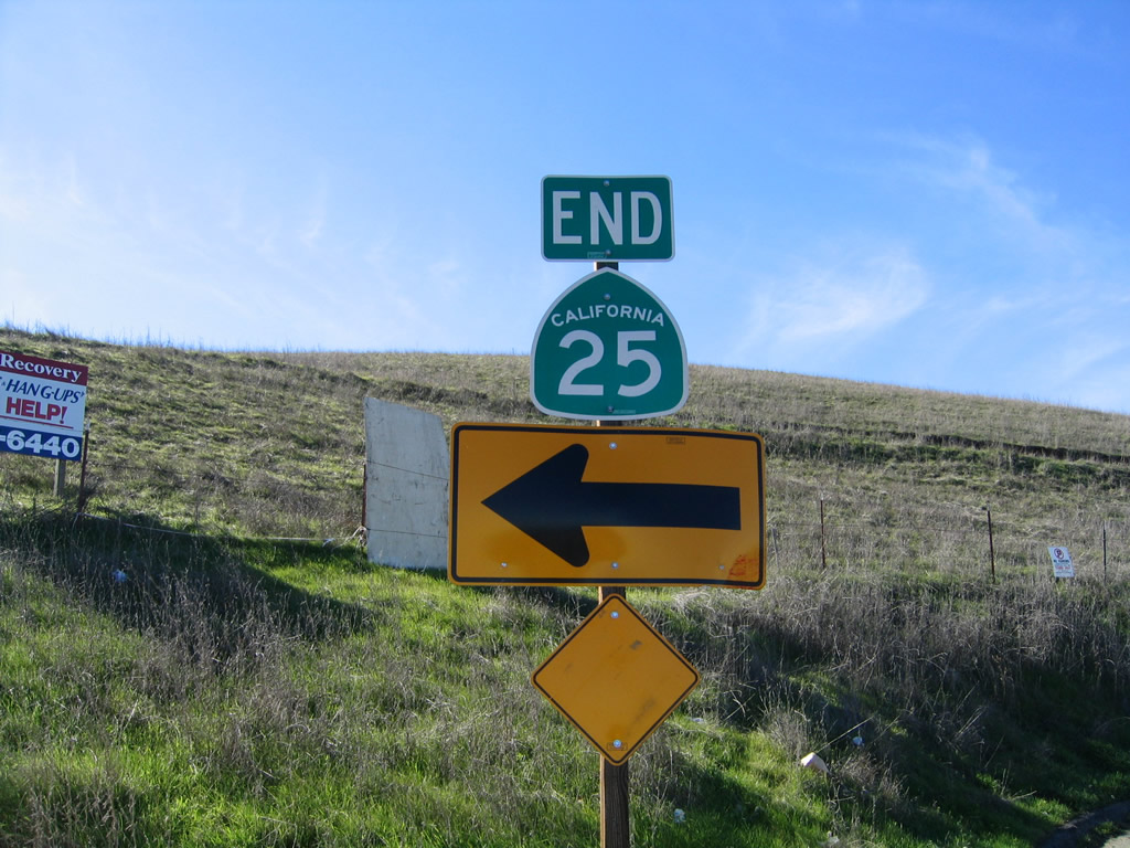
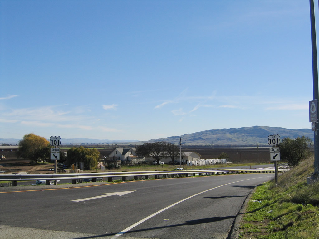
SR 25 spans U.S. 101 (El Camino Real) and concludes at this end sign.
11/29/04
A pair of U.S. 101 shields accompany the southbound on-ramp from the ending SR 25.
11/29/04
Photo Credits:
- AARoads: 11/29/04
- Trevor Carrier: 2002
Connect with:
Page Updated Friday July 28, 2017.