
State Route 41 East - Morro Bay to Atascadero
Located at the crossroads of SR 41 and U.S. 101, the city of Atascadero sits at an elevation of 879 feet, and consists of 26.7 square miles. Located approximately 225 miles from either San Francisco or Los Angeles, Atascadero was founded in 1913 as a utopian society colony by Edward Gardner Lewis and incorporated in 1979. Damage to the city was sustained during the December 22, 2003, San Simeon earthquake (6.5 magnitude), which also damaged downtown Paso Robles to the north.
Atascadero had a population of 26,411 as of the 2000 Census. The Atascadero population estimate from the U.S. Census Bureau for July 1, 2024 was 29,743.
After separating from California 1 (Cabrillo Highway) in the city of Morro Bay (population 10,350 as of the 2000 Census), this reassurance shield for California 41 east is posted along Atascadero Road, which becomes the E.G. Lewis Highway.
03/18/06
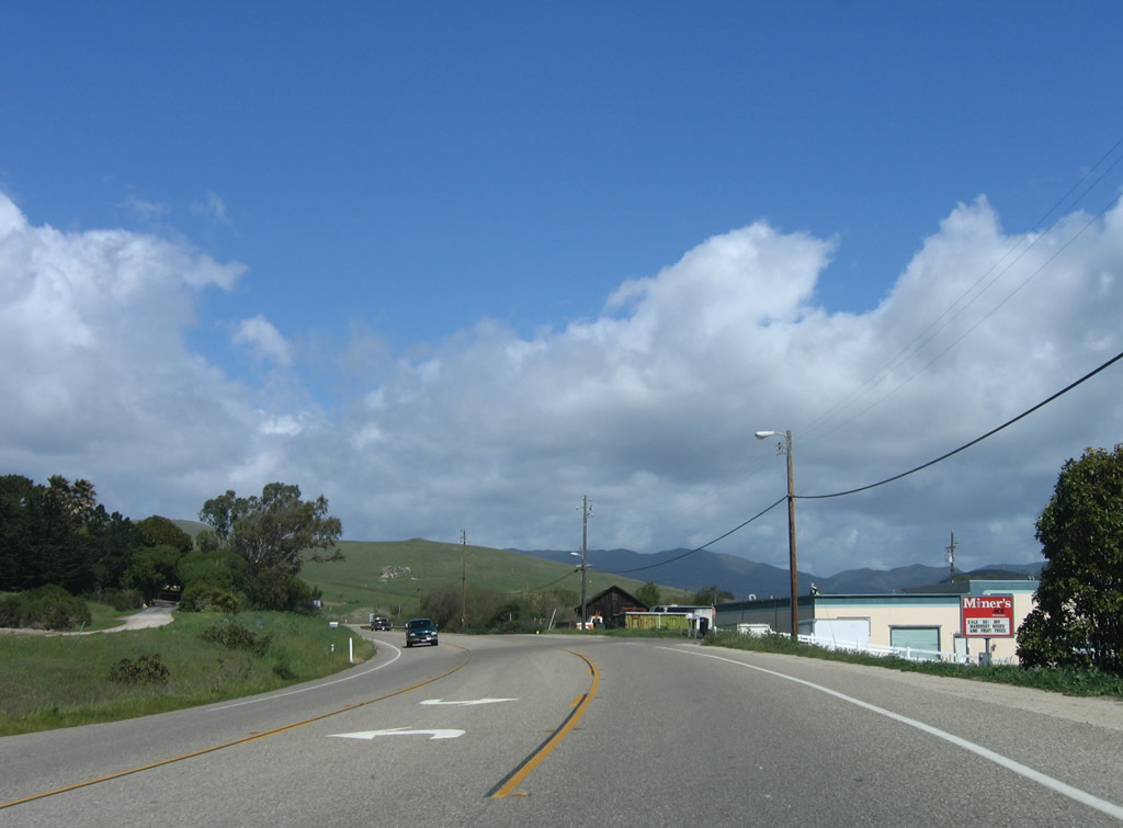
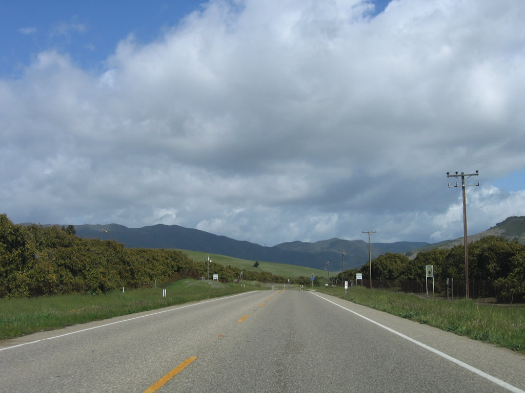
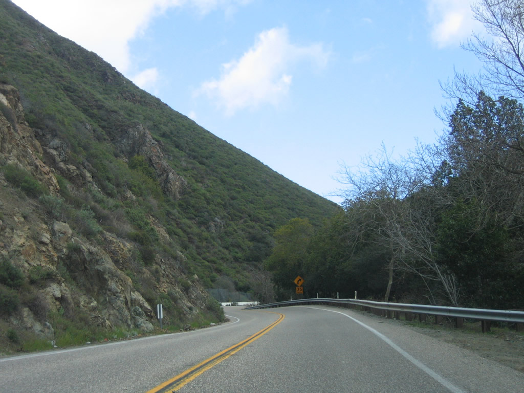
Leaving Morro Bay, California 41 travels northeast along a two-lane alignment toward Atascadero and generally follows Morro Creek through Devils Gap, then follows Atascadero Creek for the final distance into downtown Atascadero.
03/18/06
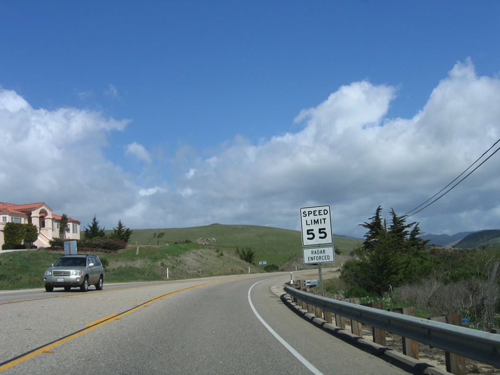
The speed limit of California 41 remains 55 miles per hour for this stretch of highway.
03/18/06
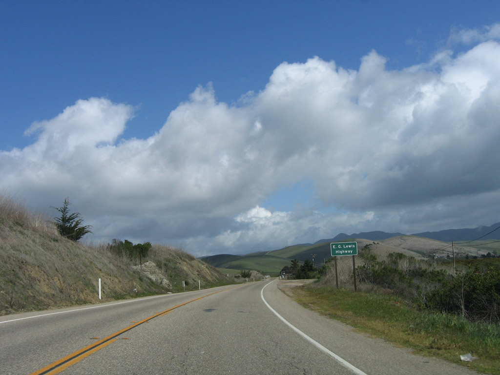
An E.G. Lewis Highway trailblazer is posted as California 41 narrows somewhat. Edward Gardner Lewis founded Atascadero as a utopian colony staring in 1915, and he built what is now California 41 (former U.S. 466) between Atascadero and Morro Bay.
03/18/06
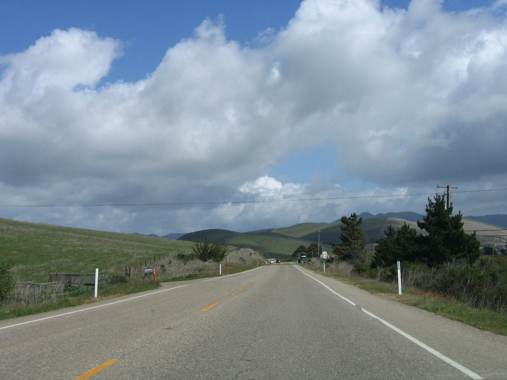
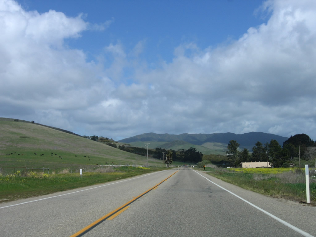
Gaining elevation to Devils Gap , the initial stretch of eastbound SR 41 (E.G. Lewis Highway) runs across rolling hills and serves local farms and ranches along the way.
03/18/06
Gaining elevation onto the Santa Lucia Range, the initial stretch of eastbound SR 41 (E.G. Lewis Highway) runs across rolling hills and serves local farms and ranches along the way.
03/18/06
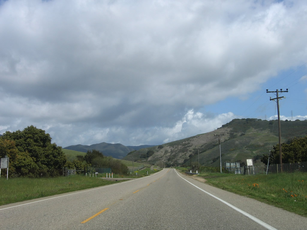
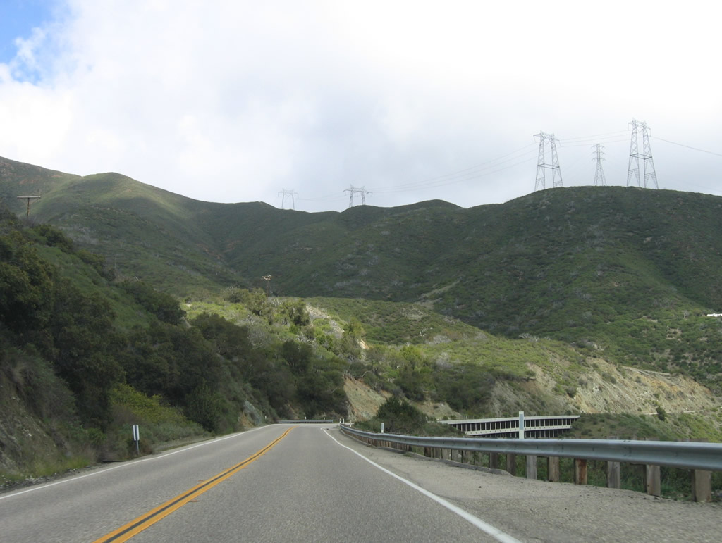
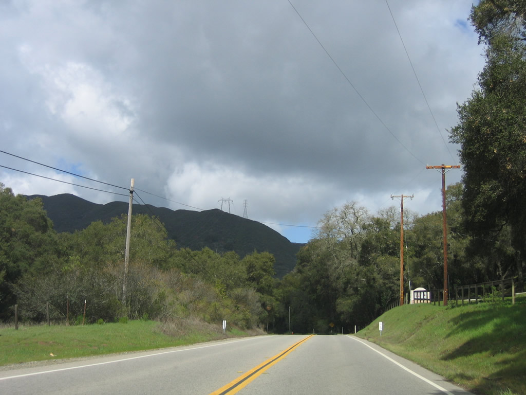
Overhead power lines spanning SR 41 between Dark Range Peak and Cerro Alto are part of the connection between the Diablo Canyon Nuclear Power Generating Station and the Path 15 500kV power lines in the Central Valley.
03/18/06
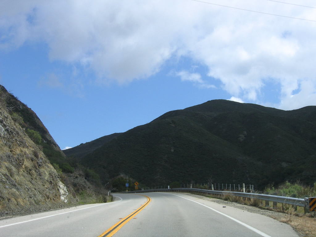
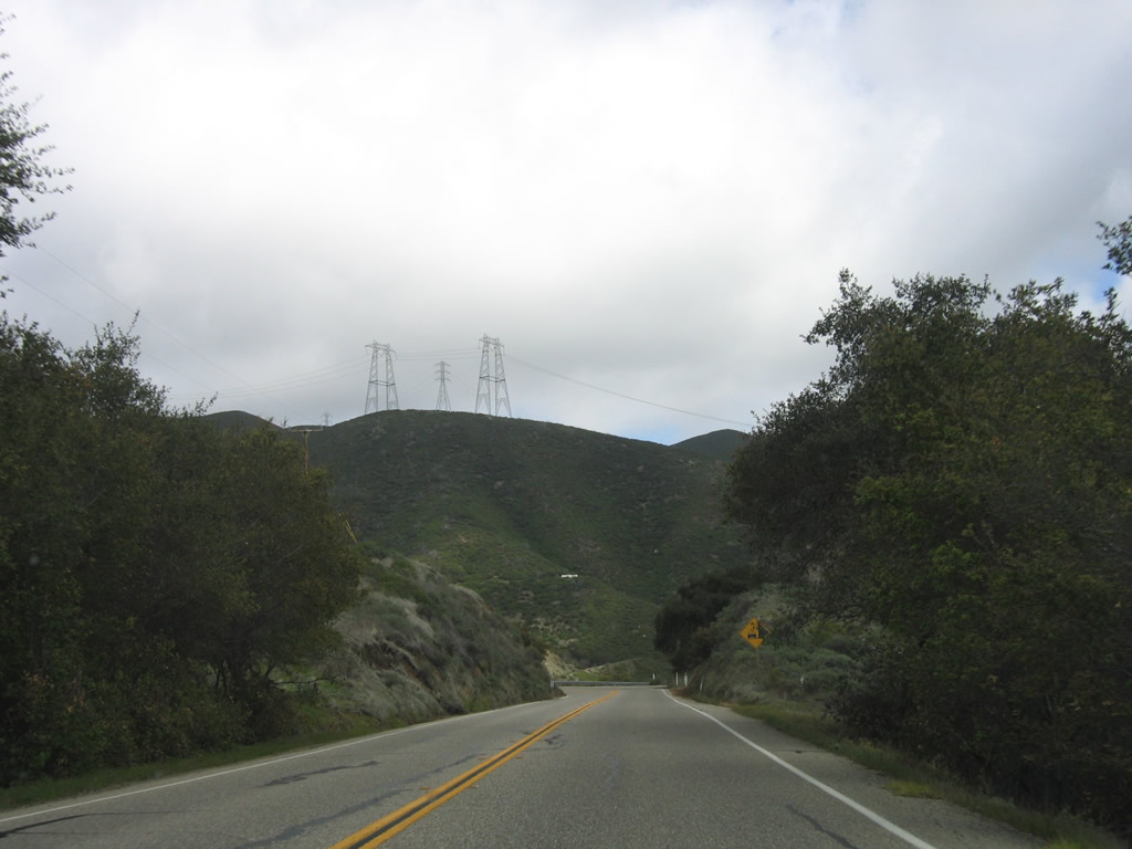
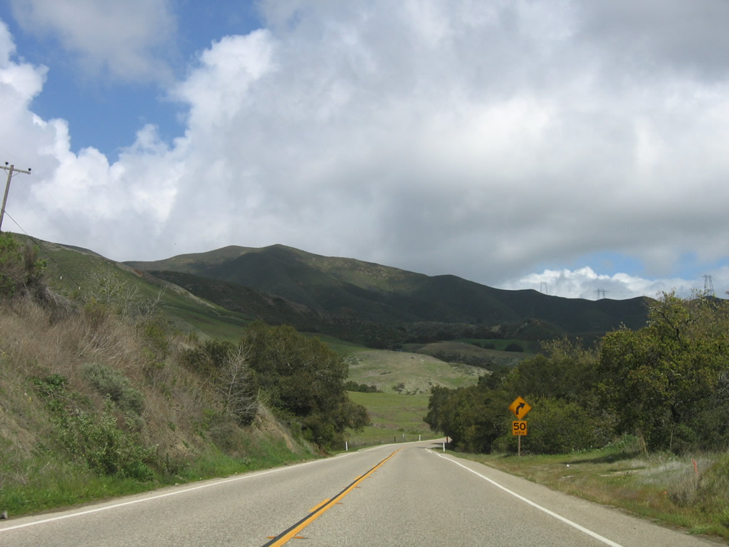
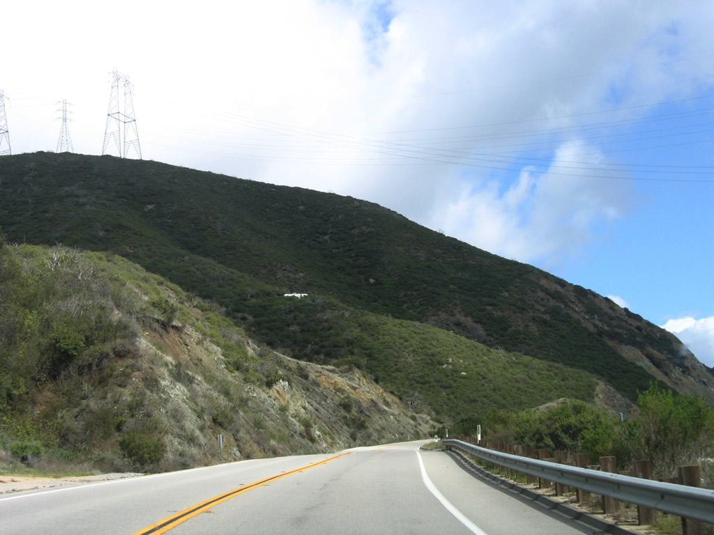
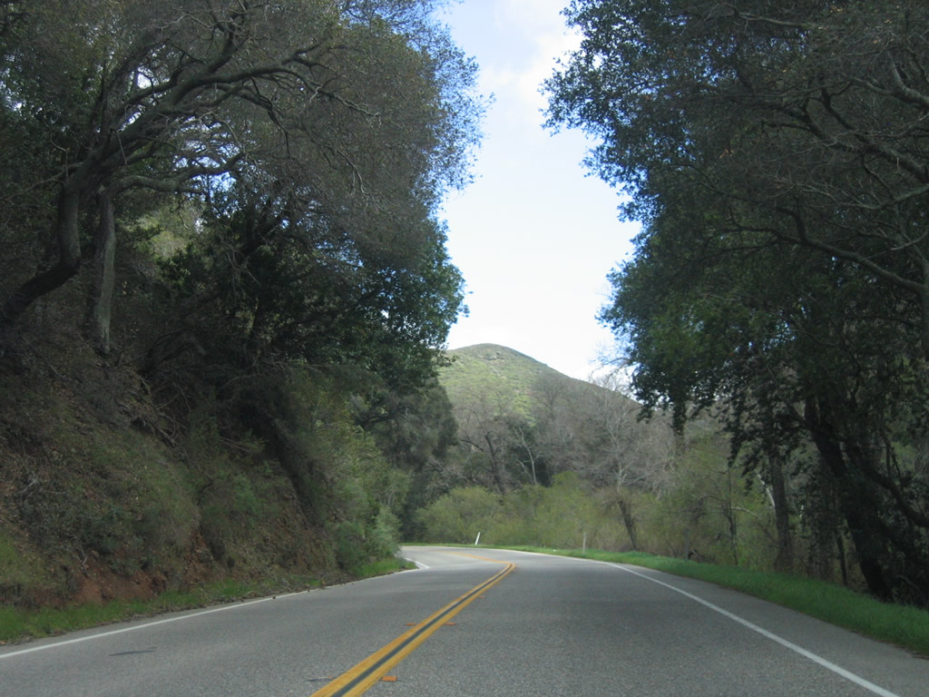
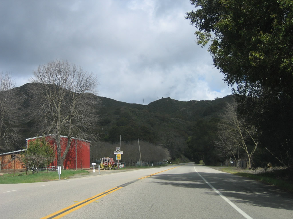
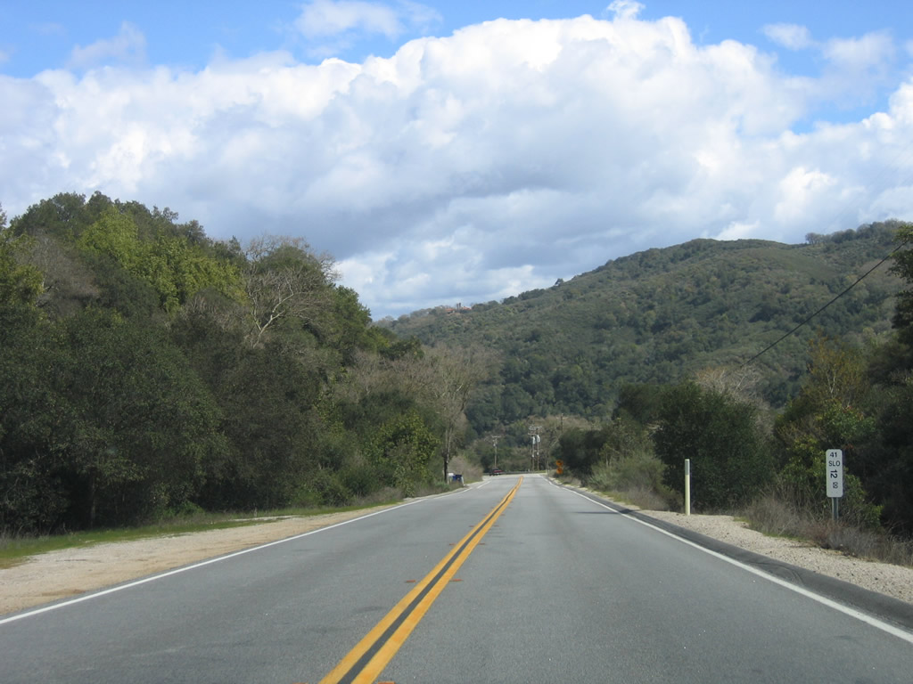
Passing through Los Padres National Forest, SR 41 navigates through several sharp turns, with a steep slope alongside portions of the roadway.
03/18/06
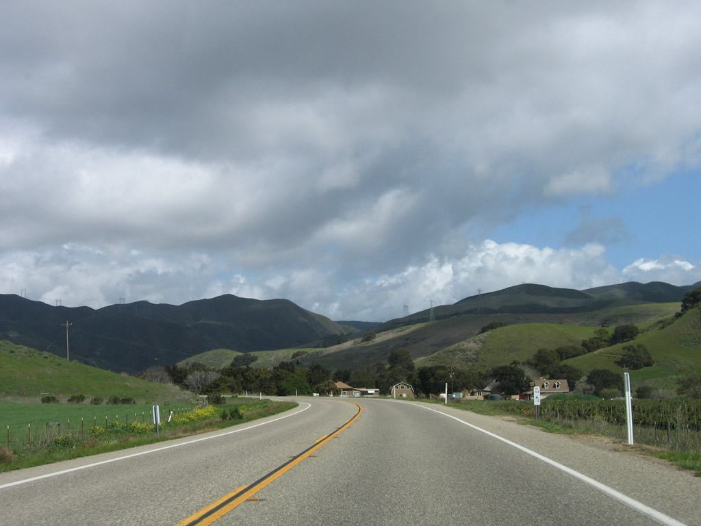
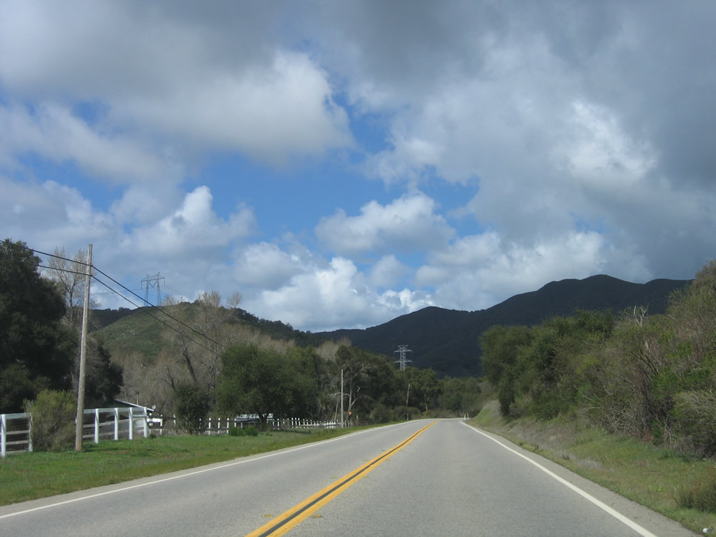
Turning north, SR 41 (E.G. Lewis Highway) continues along Morro Creek to the east of Dark Range Peak.
03/18/06
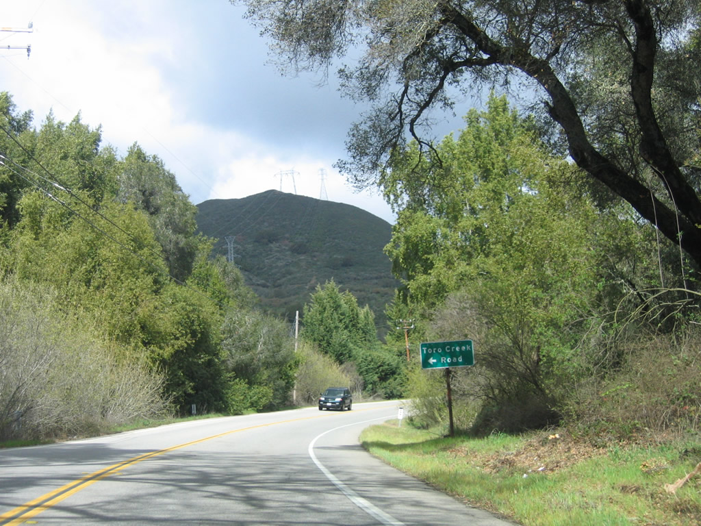
Toro Creek Road stems west from SR 41 (E.G. Lewis Highway) to Toro Creek Road in Los Padres National Forest.
03/18/06
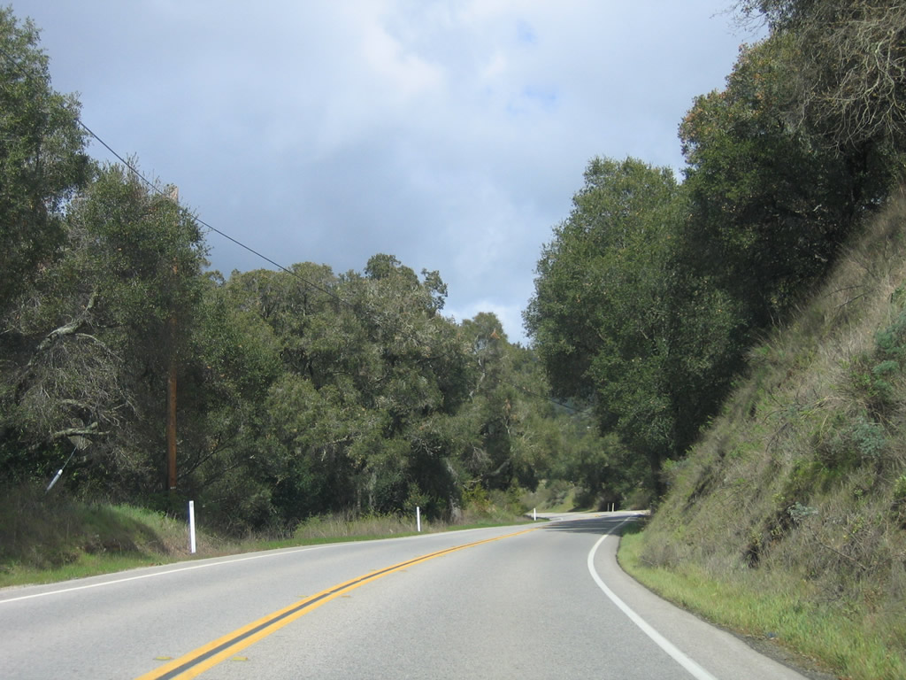
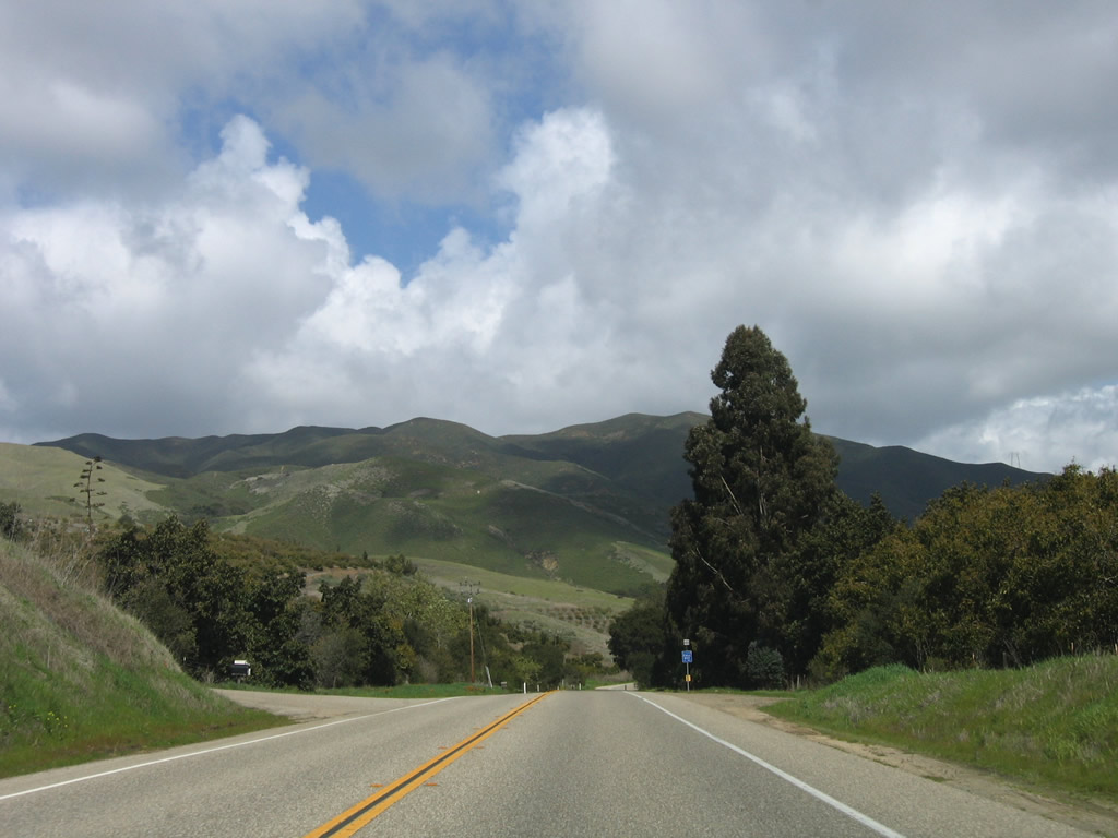
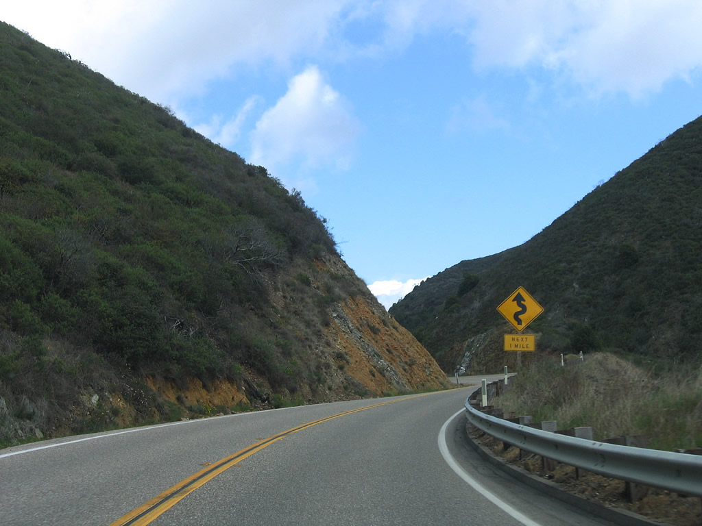
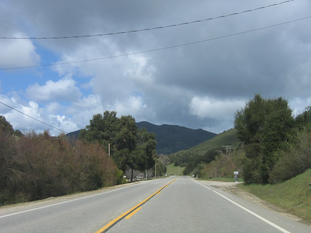
Curving northeast, SR 41 leaves Los Padres National Forest beyond Toro Creek Road.
03/18/06
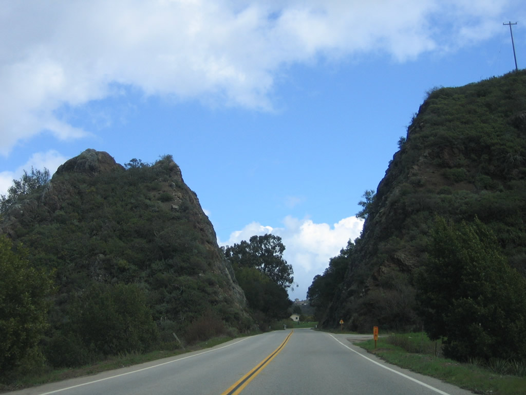
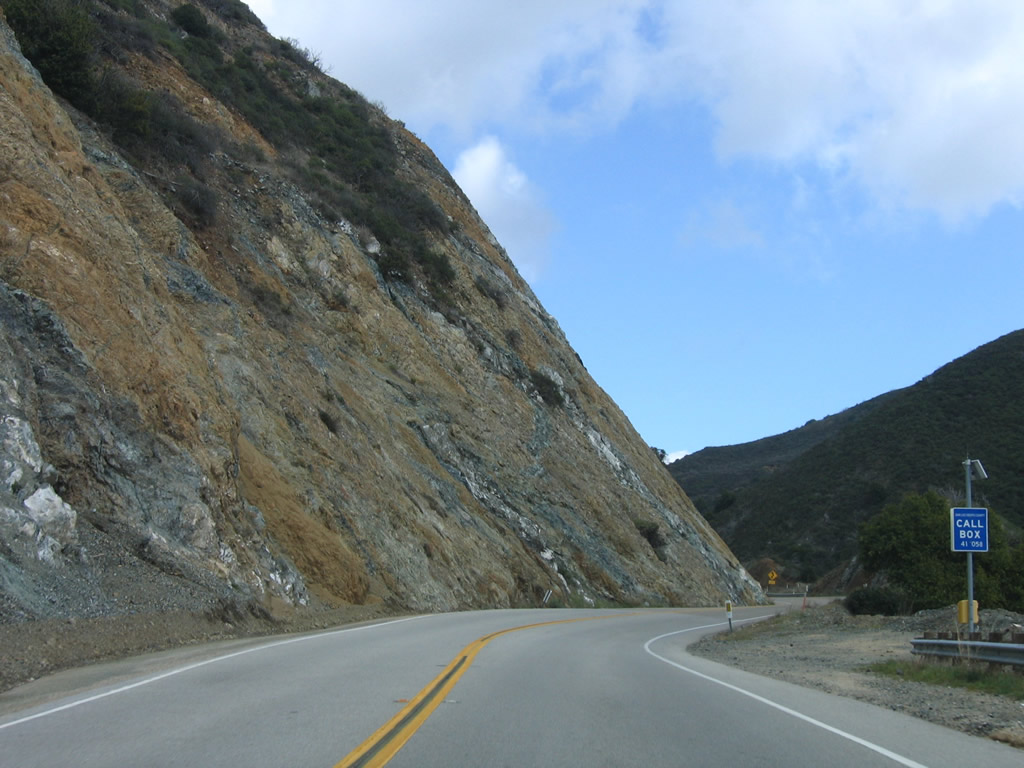
SR 41 (E.G. Lewis Highway) east next passes through Devils Gap through a pronounced rock cut.
03/18/06
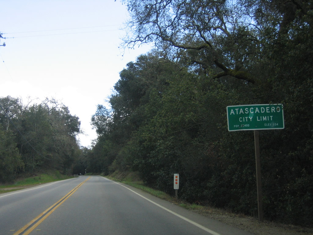
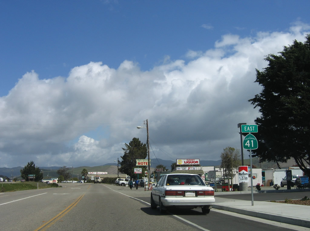
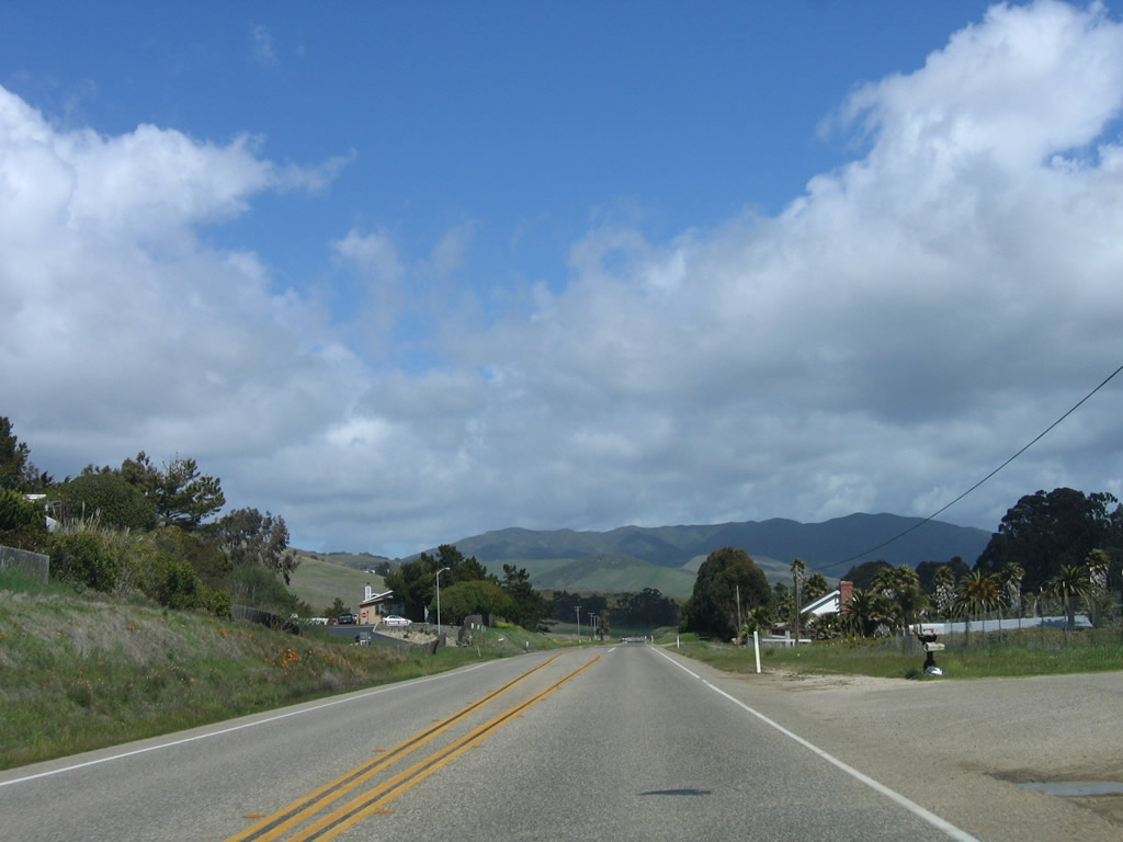
Eastbound California 41 (E.G. Lewis Highway) enters the city of Atascadero.
03/18/06
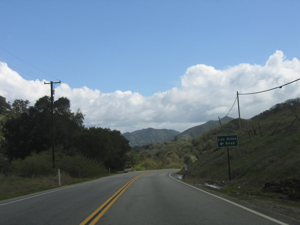
An advance guide sign is posted for Los Altos Road along eastbound California 41 (E.G. Lewis Highway).
03/18/06
A roadside paddle (postmile marker) along eastbound California 41 (E.G. Lewis Highway) indicates the distance traveled since the route began in Morro Bay: 12 miles.
03/18/06
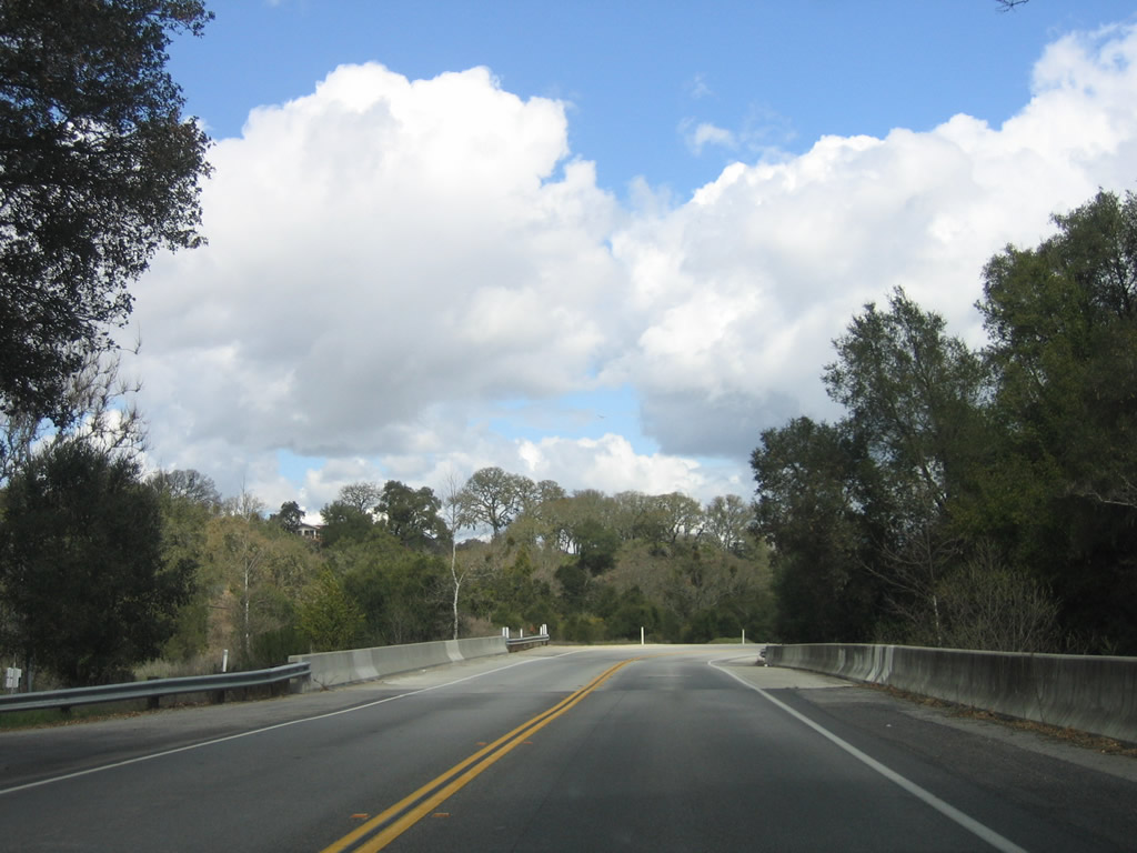
California 41 (E.G. Lewis Highway) crosses over Atascadero Creek.
03/18/06
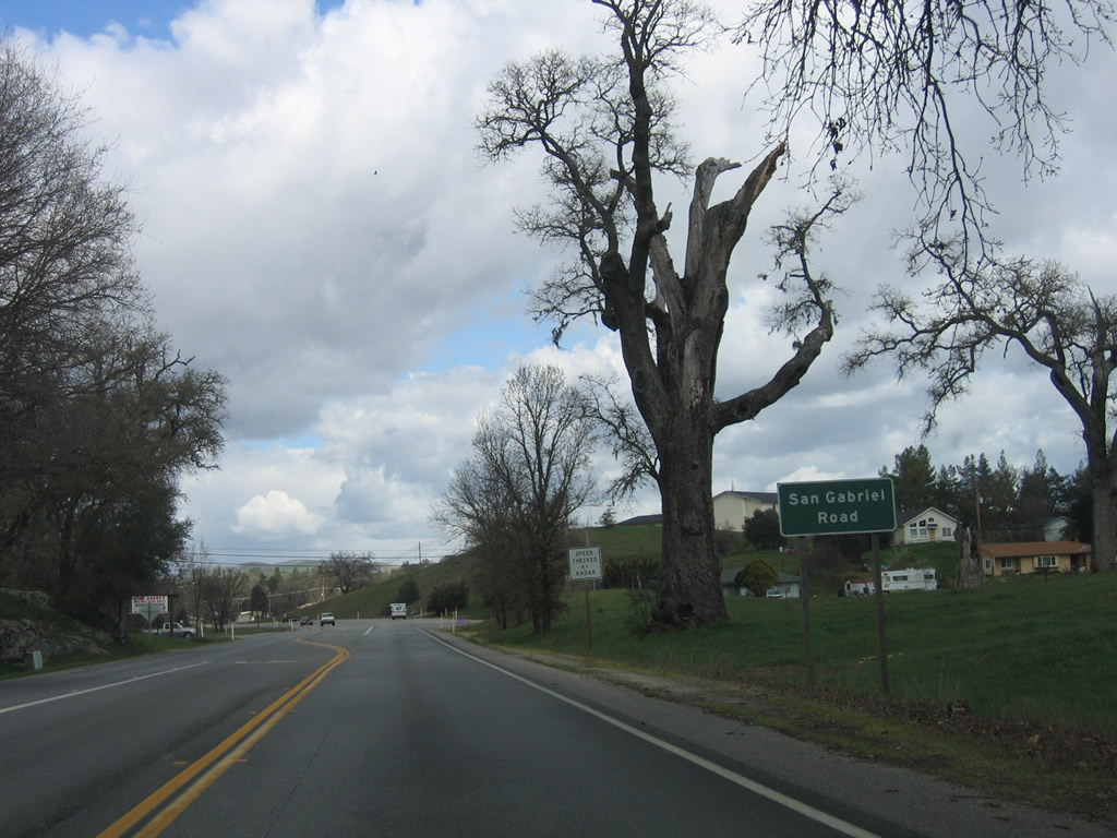
Eastbound California 41 (E.G. Lewis Highway) approaches San Gabriel Road.
03/18/06
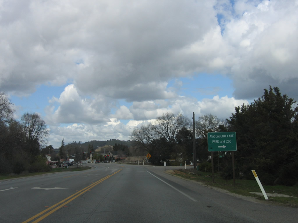
The next intersection along California 41 (E.G. Lewis Highway) east is with Santa Rosa Avenue east to Atascadero Lake and Zoo as well as U.S. 101 Exit 218A. The second intersection is with Portola Road.
03/18/06
Eastbound California 41 (E.G. Lewis Highway) approaches Portola Road.
03/18/06
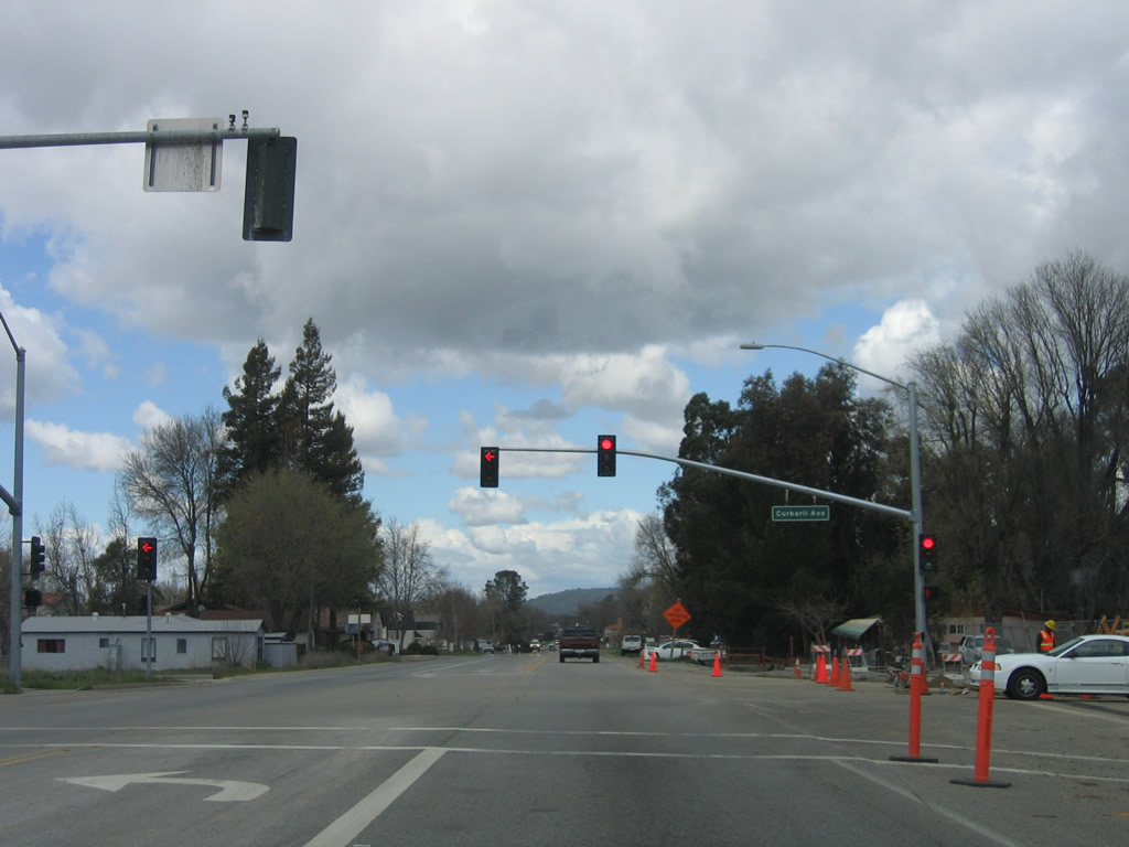
The next signalized intersection along California 41 (E.G. Lewis Highway) east is with Curbaril Avenue.
03/18/06
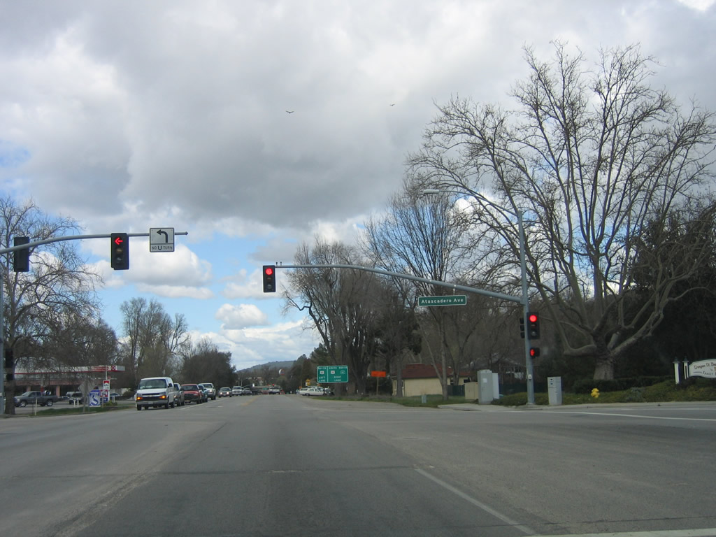
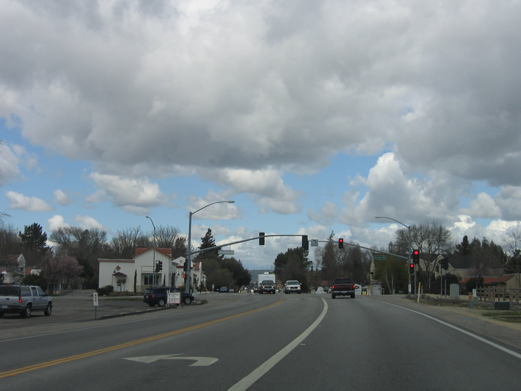
Continuing northeast, the next signalized intersection along California 41 (E.G. Lewis Highway) is with Atascadero Avenue.
03/18/06
Eastbound California 41 (E.G. Lewis Highway) approaches U.S. 101 (El Camino Real) near downtown Atascadero.
03/18/06
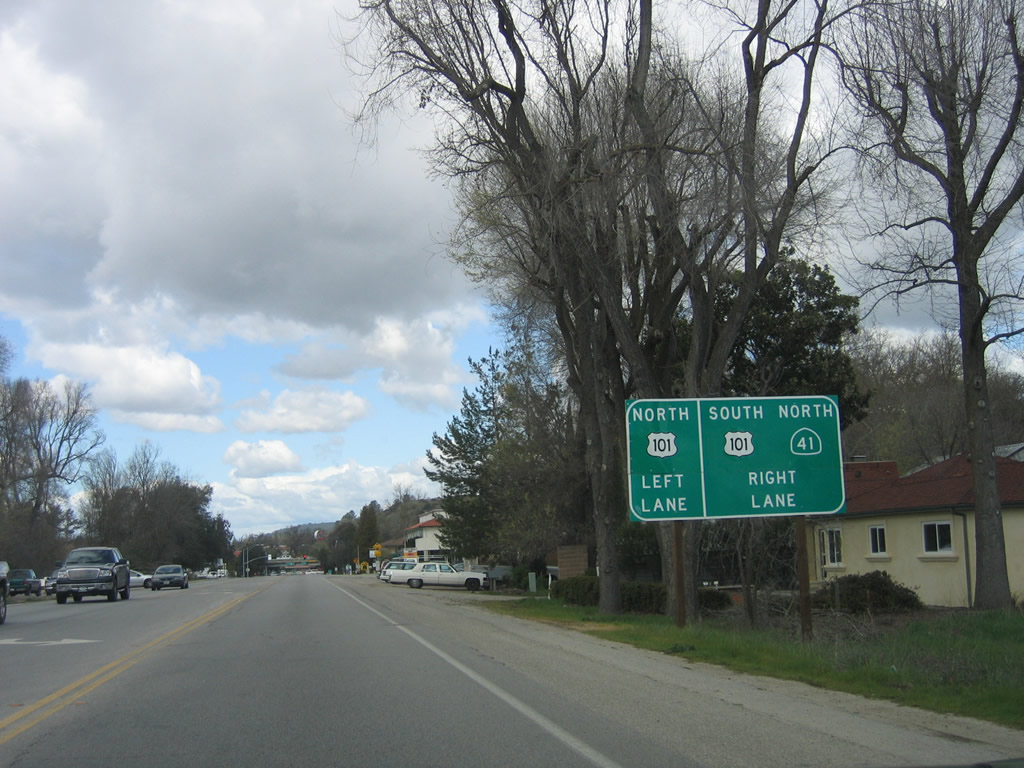
California 41 briefly becomes a multi-lane roadway here. Unlike California 46, California 41 does not share any alignment with the U.S. 101 freeway, preferring instead to pass through the city center of Atascadero. Turn right here to follow U.S. 101 south to San Luis Obispo and Los Angeles.
03/18/06
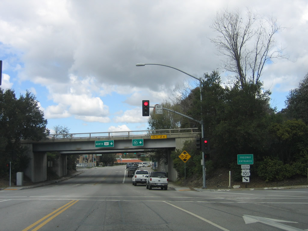
The left lane of California 41 will connect to U.S. 101 north, and the right lane of California 41 continues northeast to Shandon.
03/18/06
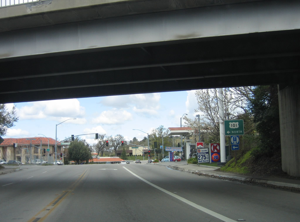
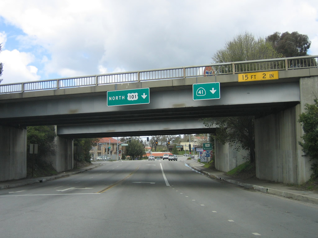
Northbound California 41 meets U.S. 101 north after passing under the freeway in Atascadero. From here, California 41 north will resume a two-lane configuration until merging with California 46 in Shandon, which is northeast of here. Through traffic may wish to consider using U.S. 101 north to California 46 for a bypass of the winding, slow section of California 41 between Atascadero and Shandon.
03/18/06
Photo Credits:
- Andy Field: 03/18/06
Connect with:
Page Updated Wednesday November 30, 2011.