
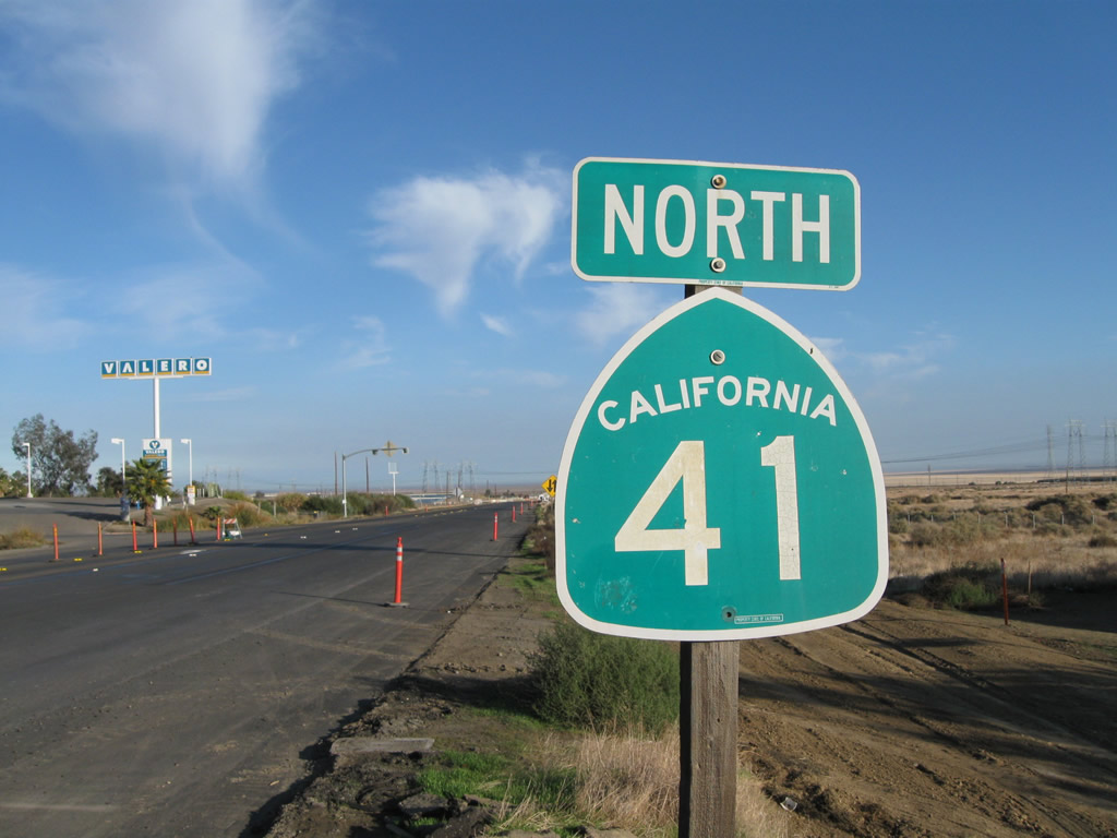
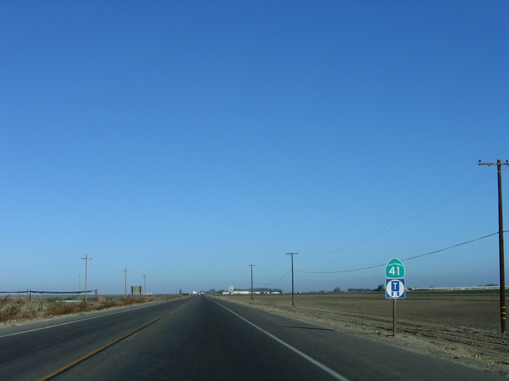
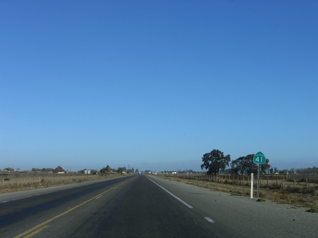
State Route 41 North - Kettleman City to Lemoore
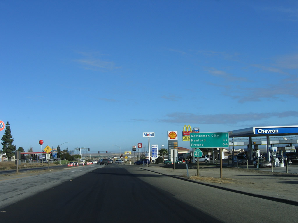
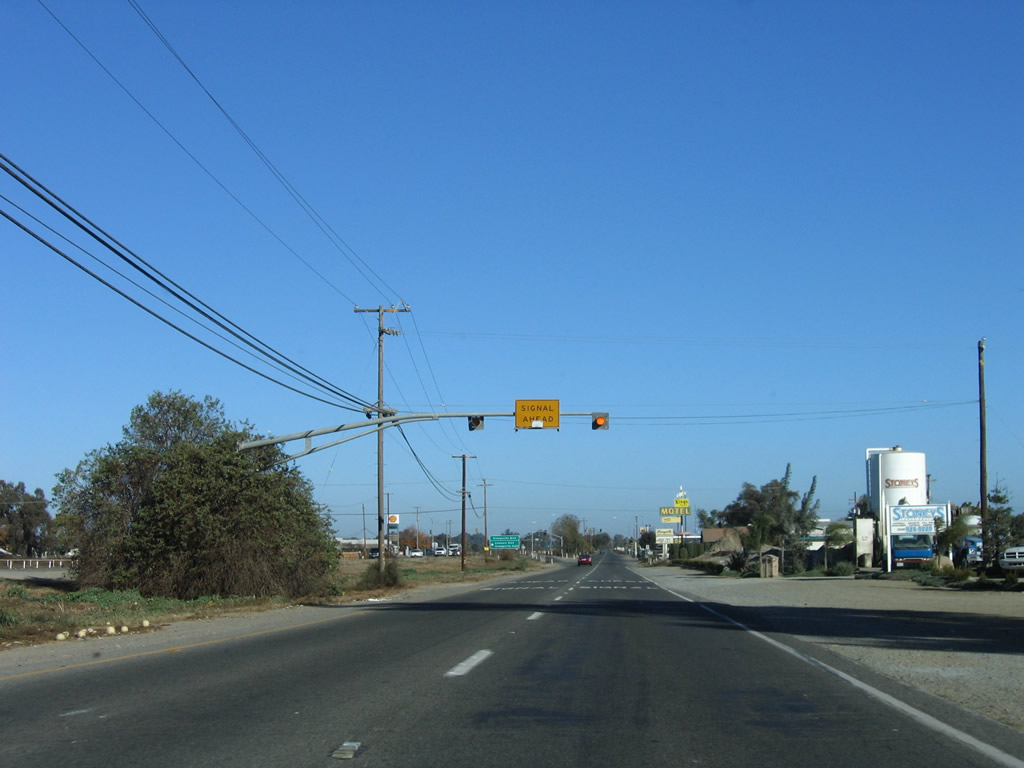
After the Interstate 5 interchange in Kings County, California 41 passes by a series of gas stations, restaurants, and motels, mostly in response to the proximity of the Interstate 5 freeway. After about a mile of motorist services on both sides of the state highway, California 41 will again enter rural Central California on a diagonal alignment toward Fresno.
11/23/06
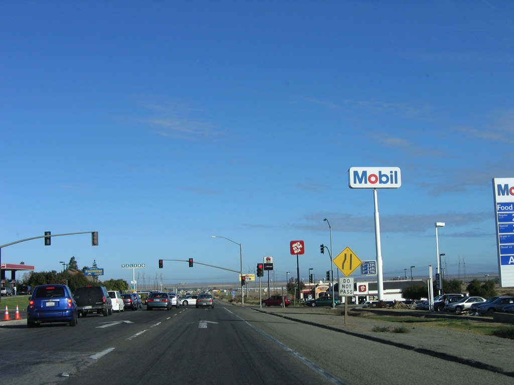
Northbound California 41 approaches Bernard Drive at the next traffic signal; this signal aids traffic flow into the gas stations and restaurants nearby.
11/23/06
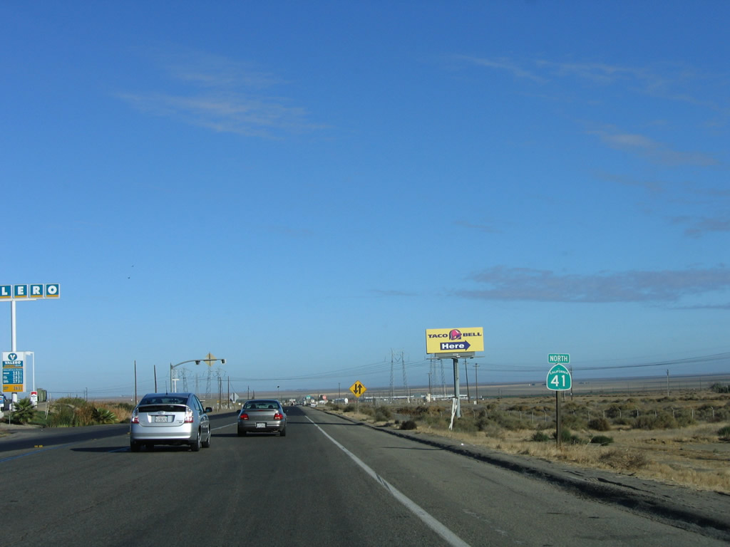
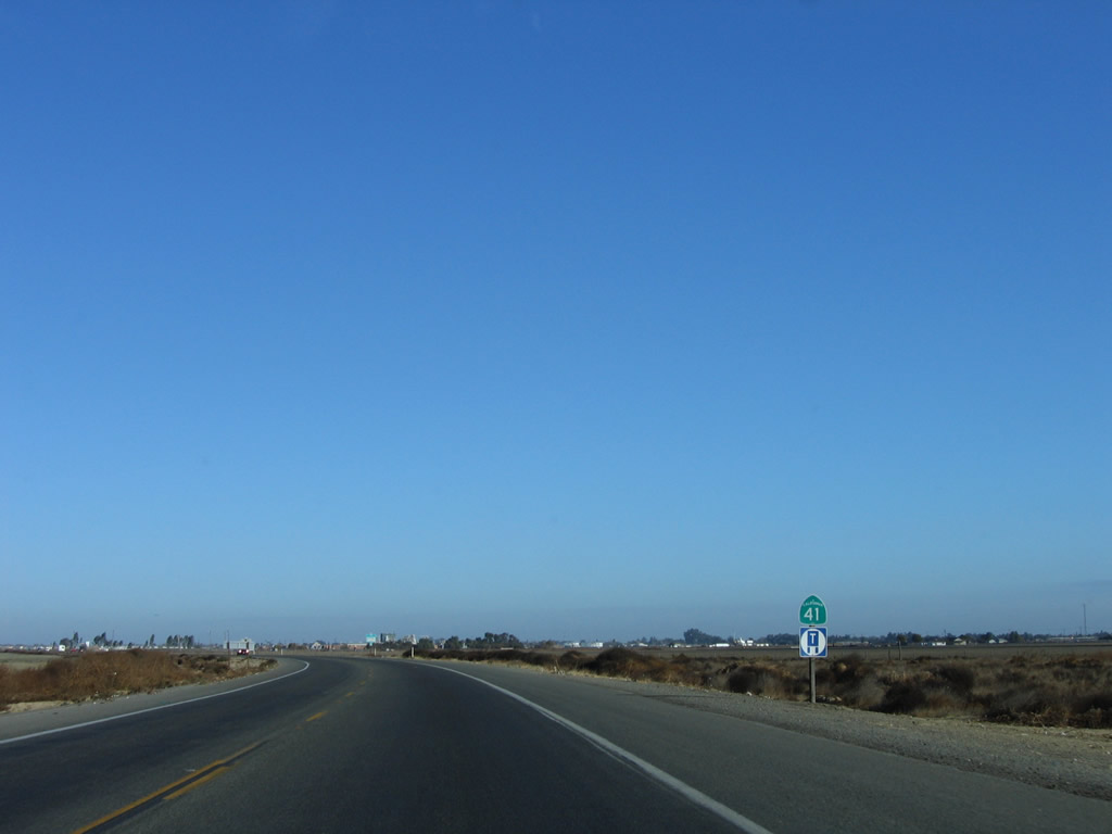
A California 41 north reassurance shield is posted thereafter, right as the highway narrows from two northbound lanes to one.
11/23/06
11/24/11
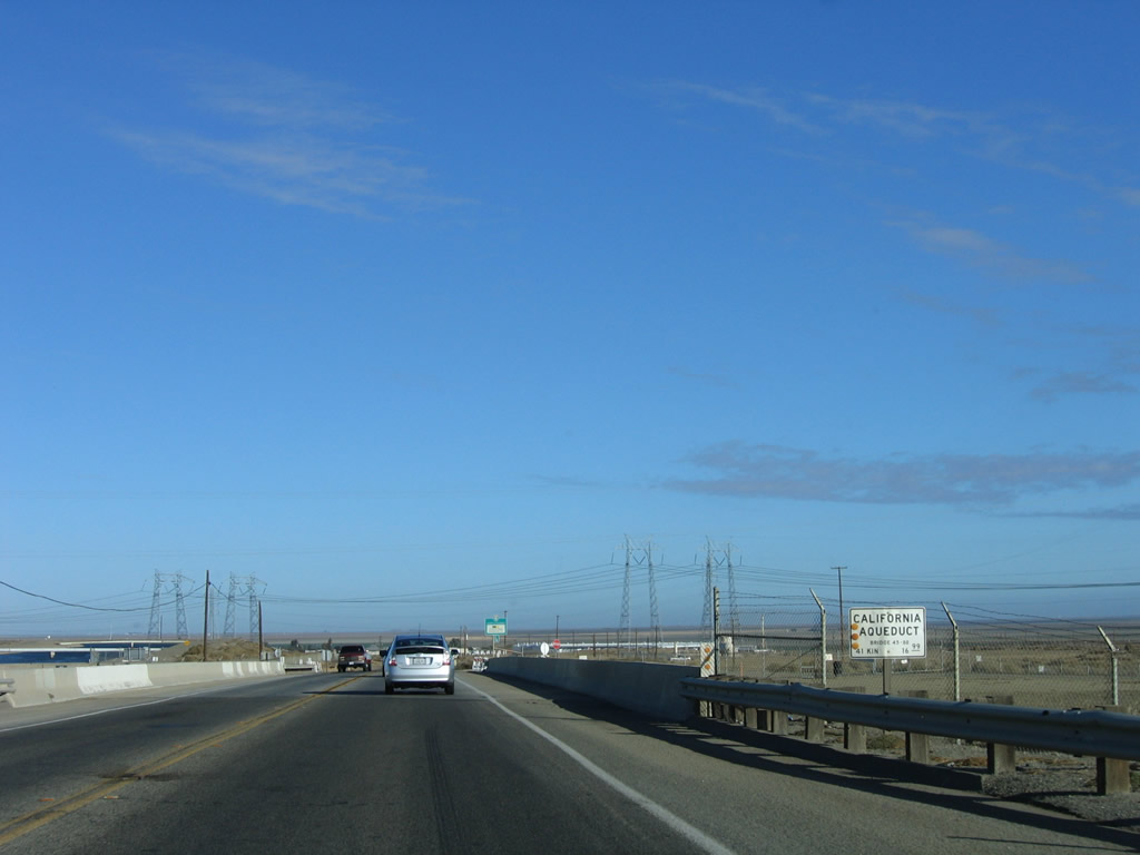
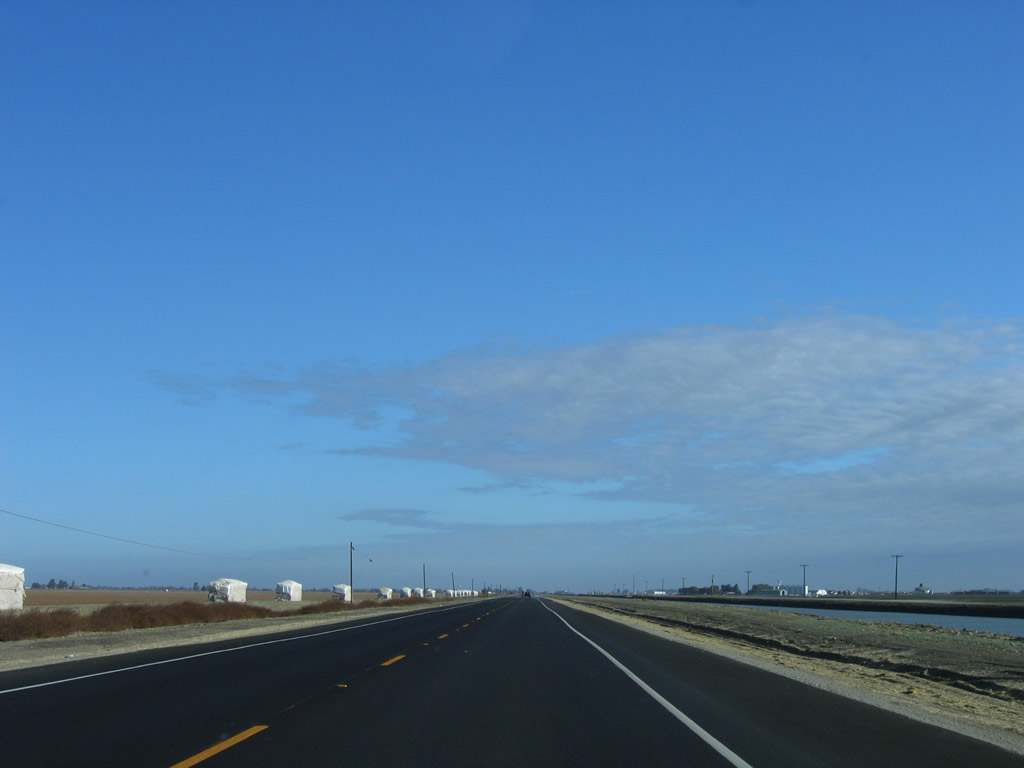
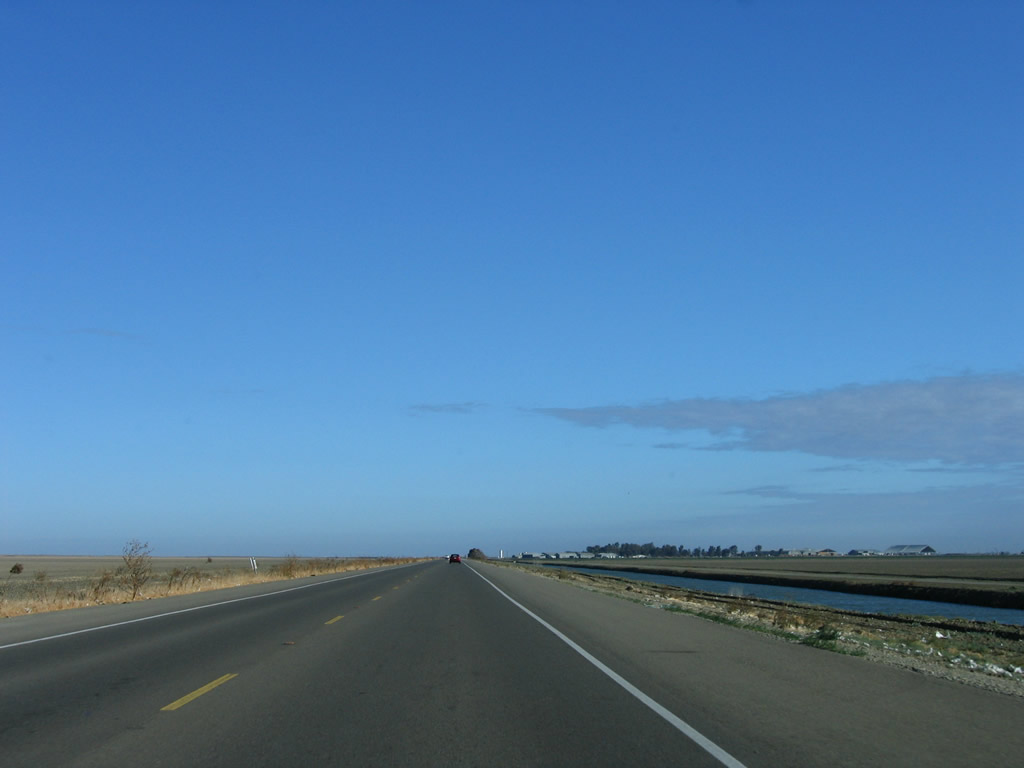
The California Aqueduct carries water from the northern part of the state south toward the arid south.
11/23/06
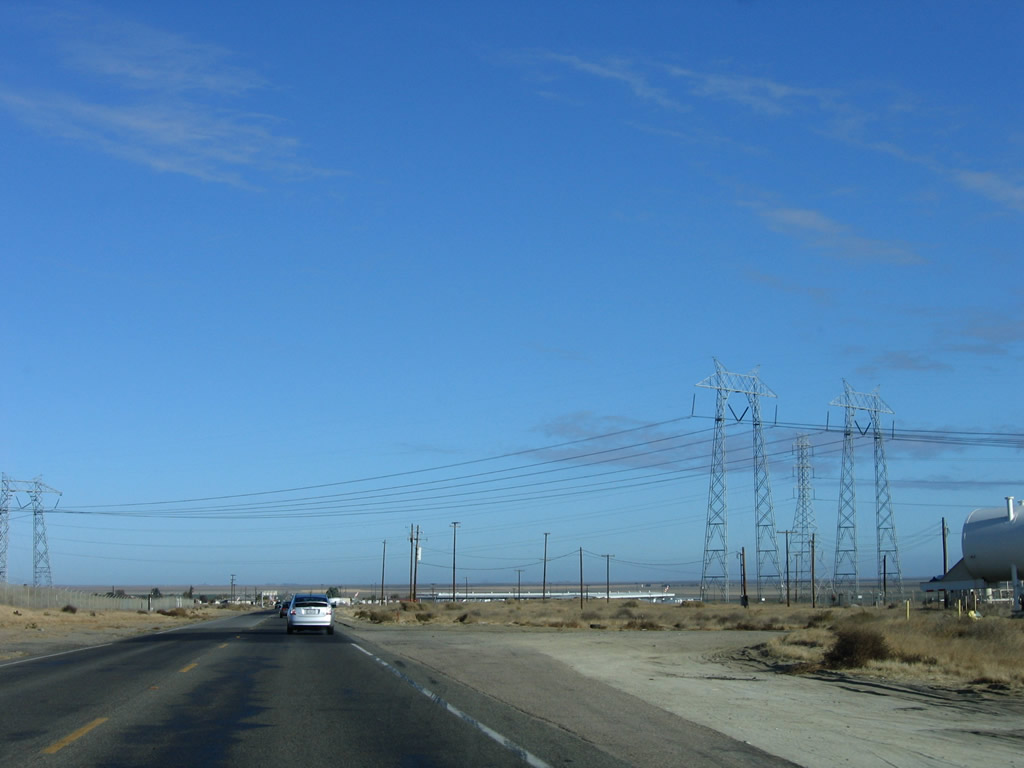
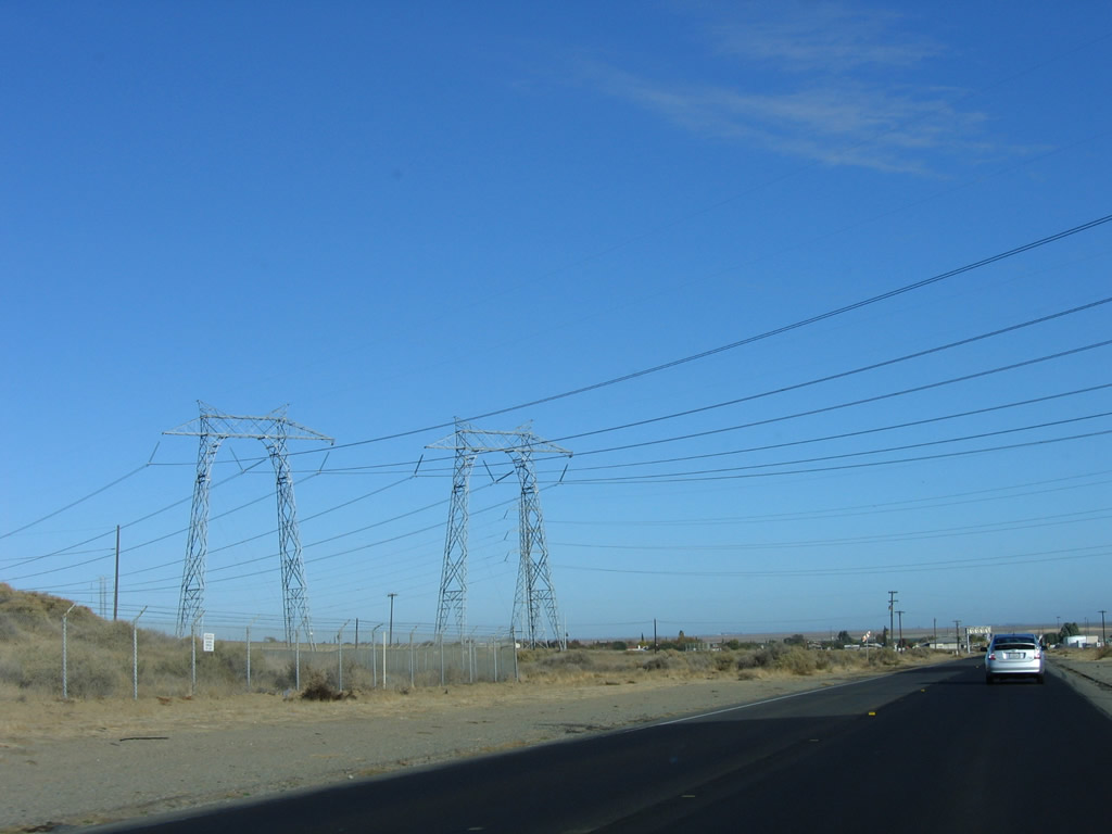
Path 15, which carries power between Southern and Northern California, parallels Interstate 5 and the California Aqueduct. Near Kettleman City, California 41 passes under these 500kV power lines, which are owned and operated by Pacific Gas and Electric (PG&E).
11/23/06
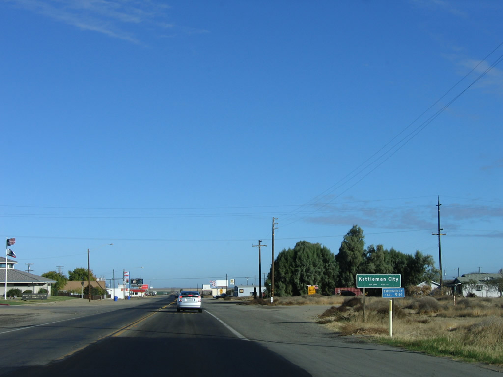
Soon thereafter, California 41 enters the unincorporated community of Kettleman City (population 1,499 as of 2000 Census, elevation 253 feet).
11/23/06
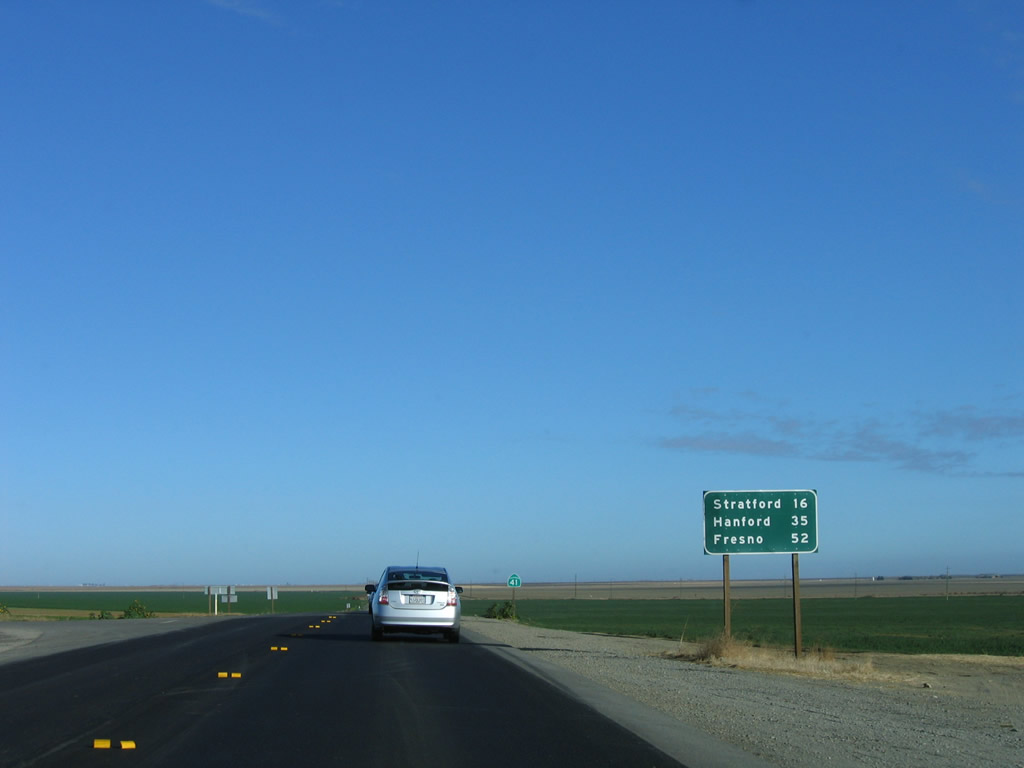
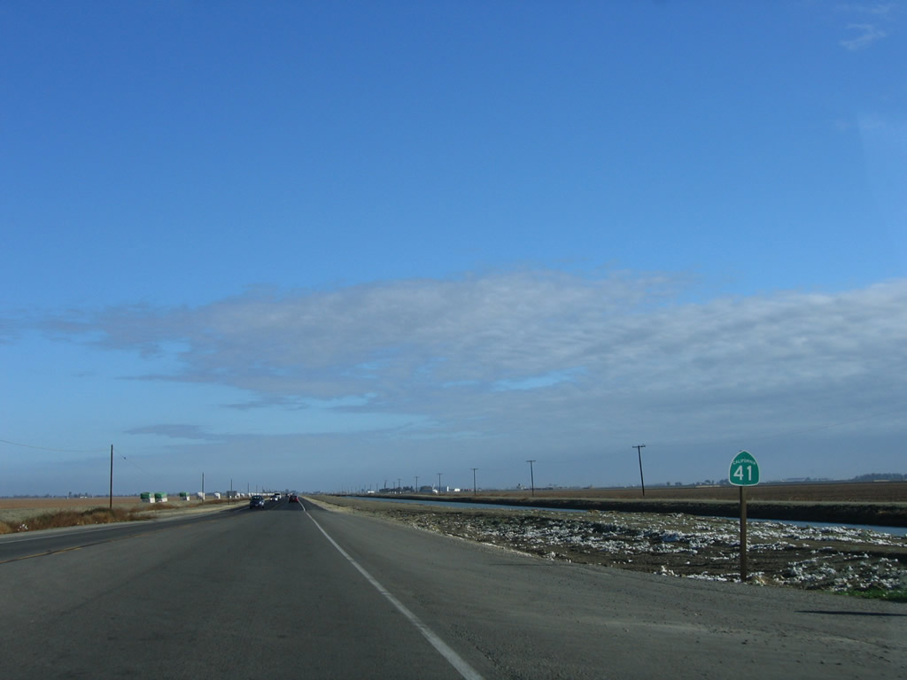
Leaving Kettleman City, this mileage sign along northbound California 41 provides the distance to Stratford (16 miles), Hanford (35 miles), and Fresno (52 miles).
11/23/06
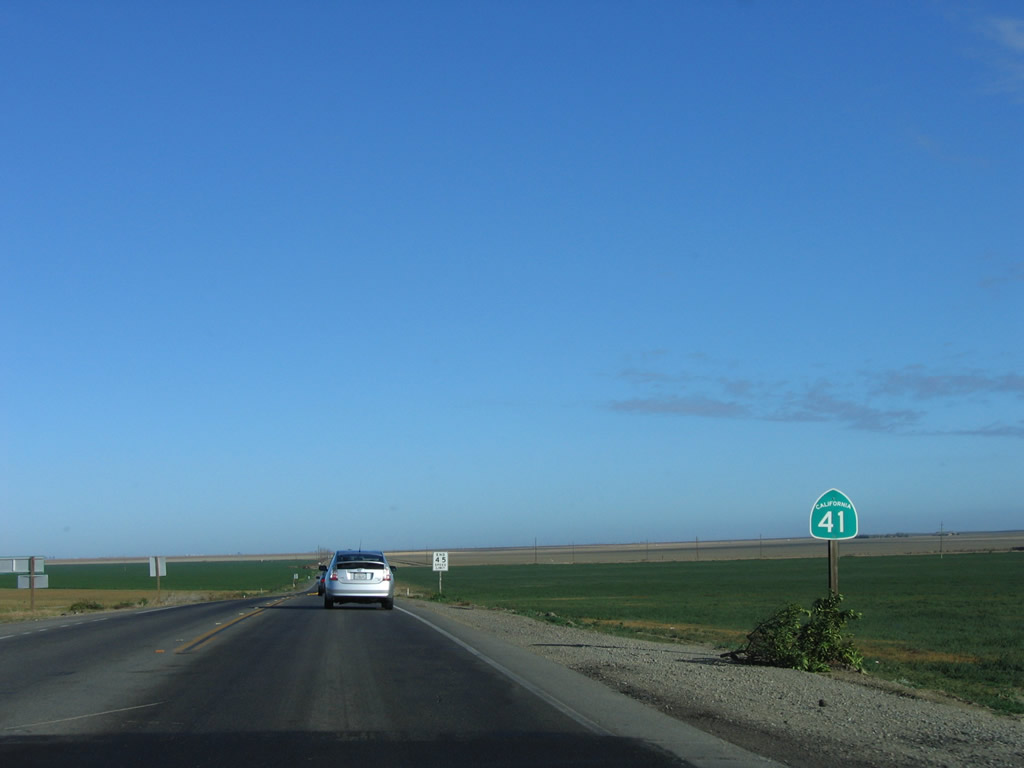
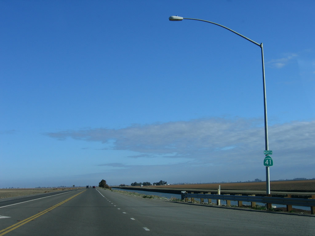
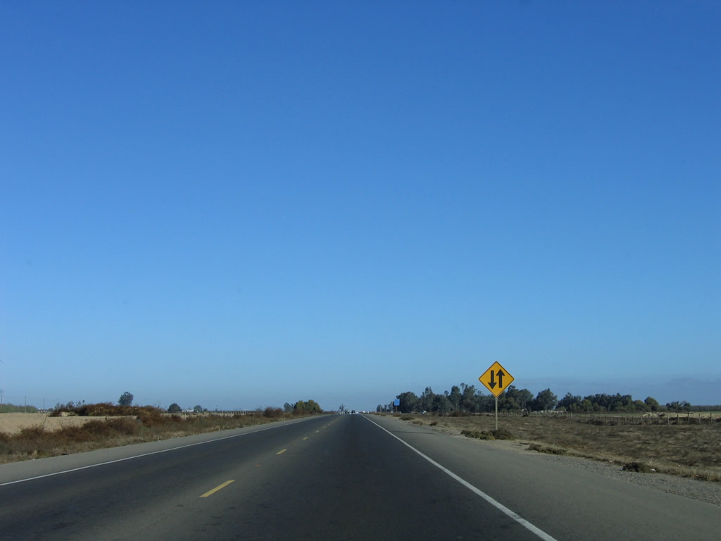
A California 41 north reassurance shield is posted thereafter. Agricultural lands (farms, ranches, and orchards are visible in all directions).
11/23/06
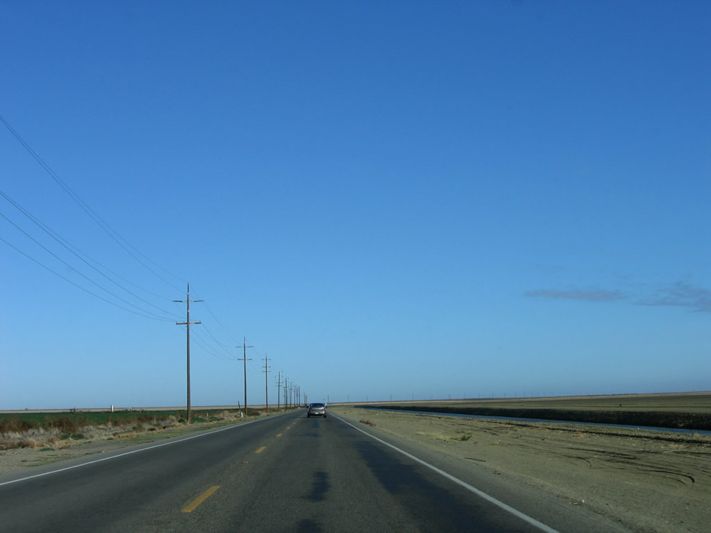
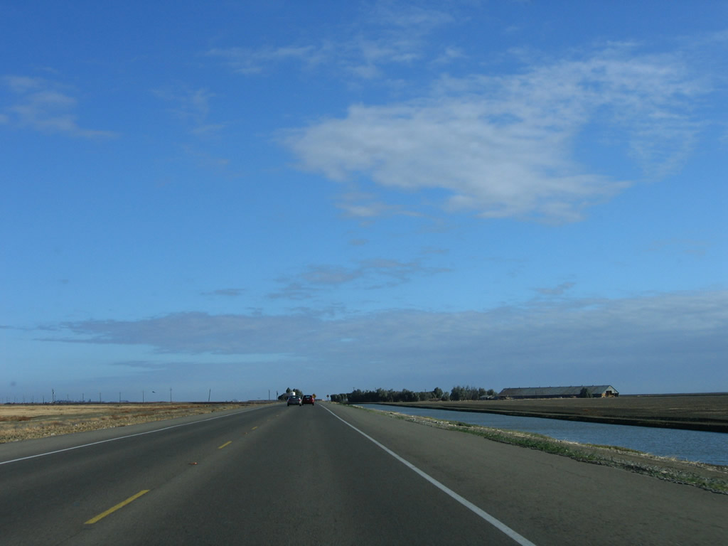
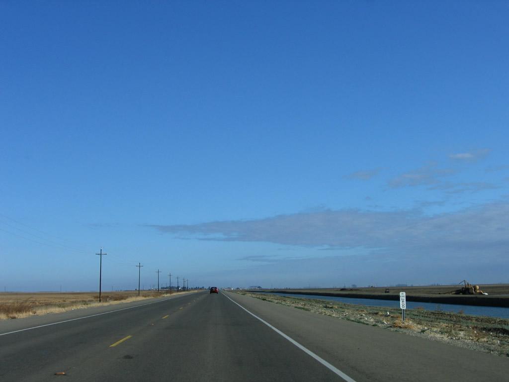
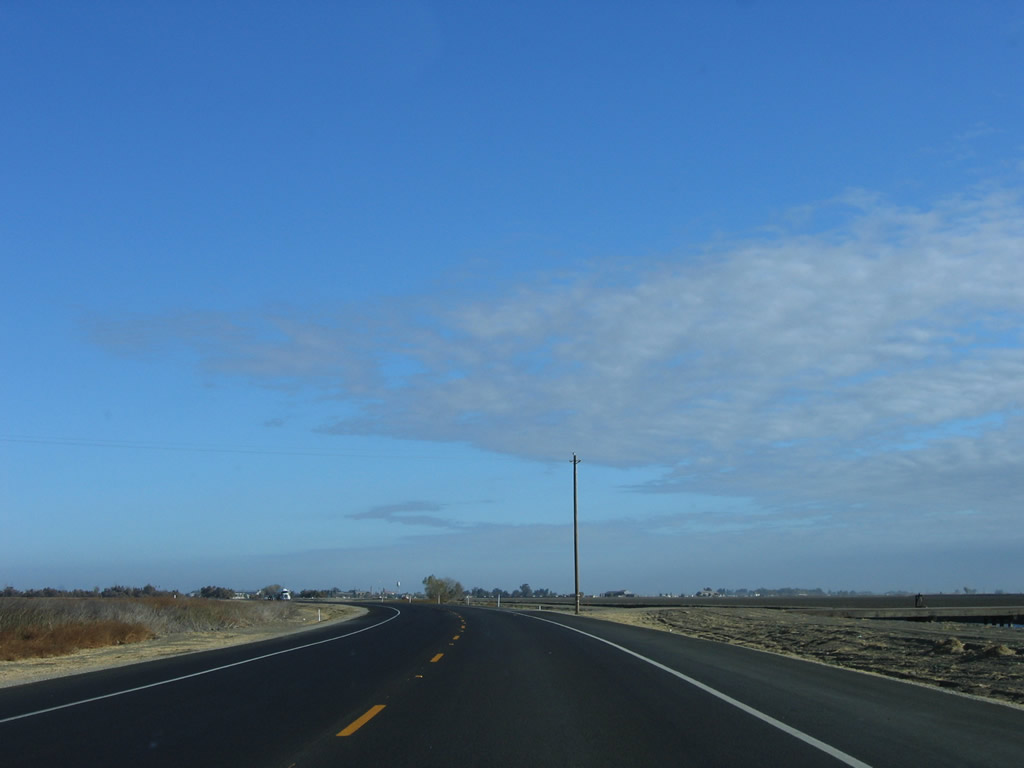
California 41 travels north of Kettleman City in a straight and flat alignment alongside a canal.
11/23/06
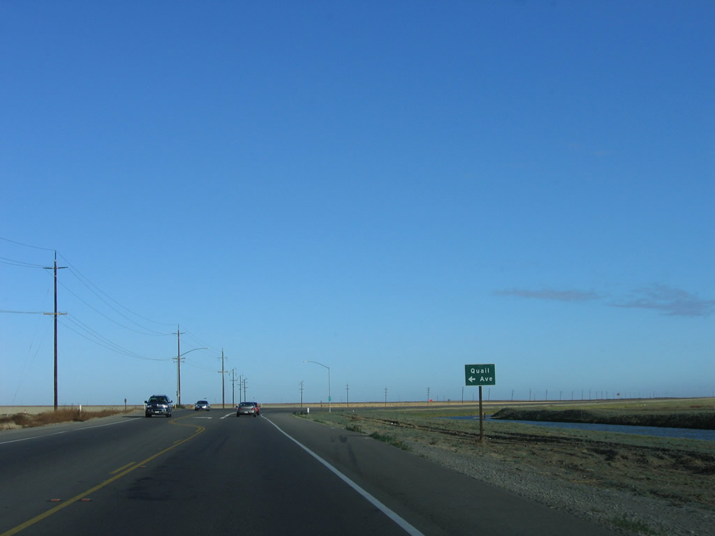
Northbound California 41 approaches Quail Avenue.
11/23/06
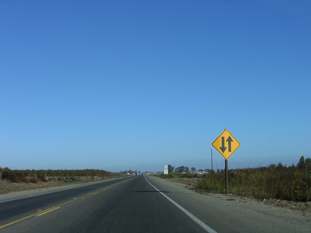
A California 41 north reassurance shield is posted after Quail Avenue.
11/23/06
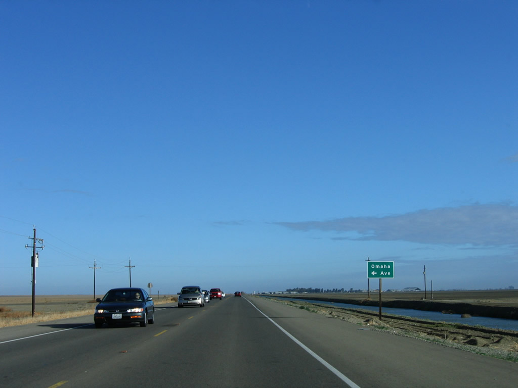
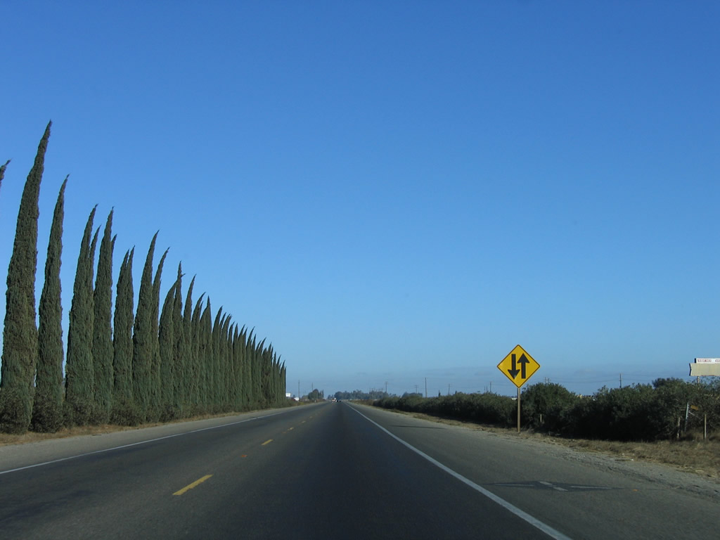
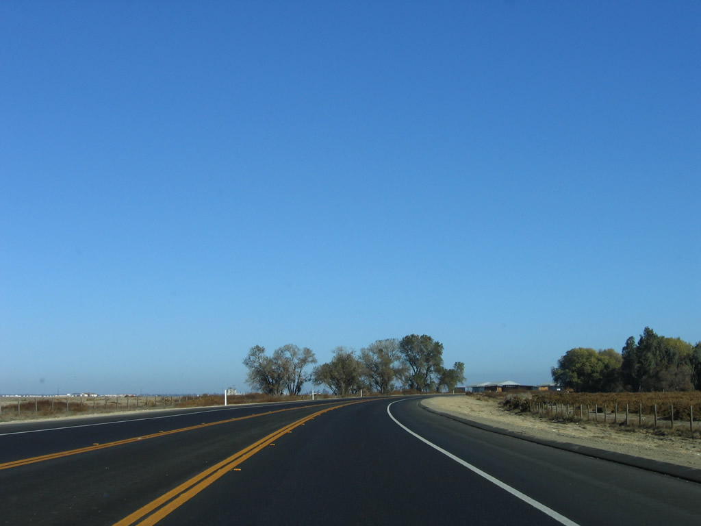
California 41 proceeds north between Kettleman City and Stratford in the heart of the Central Valley in Kings County. The state route carries two lanes and can be busy based on the connection it offers from Interstate 5 to Fresno.
11/23/06
Omaha Avenue travels west to Murray.
11/23/06
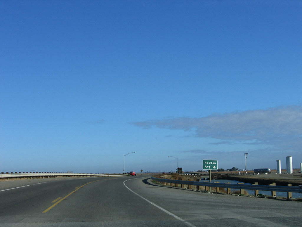
Newton Avenue travels east to Westlake Farms.
11/23/06
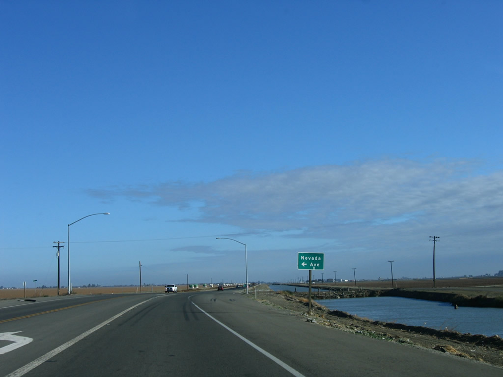
Nevada Avenue, another east-west county route, was littered with cotton at the time of these photos.
11/23/06
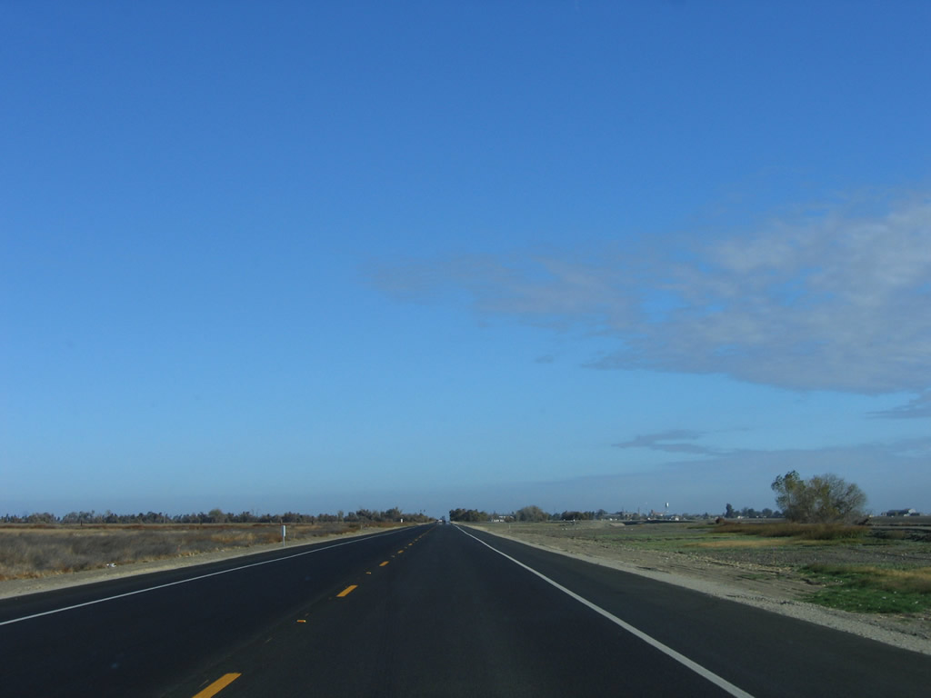
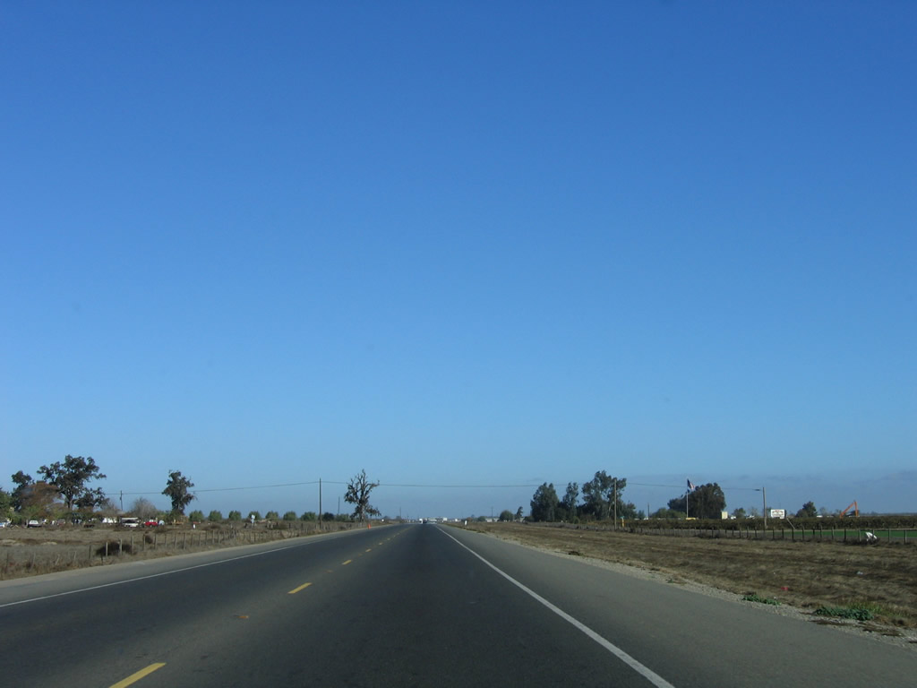
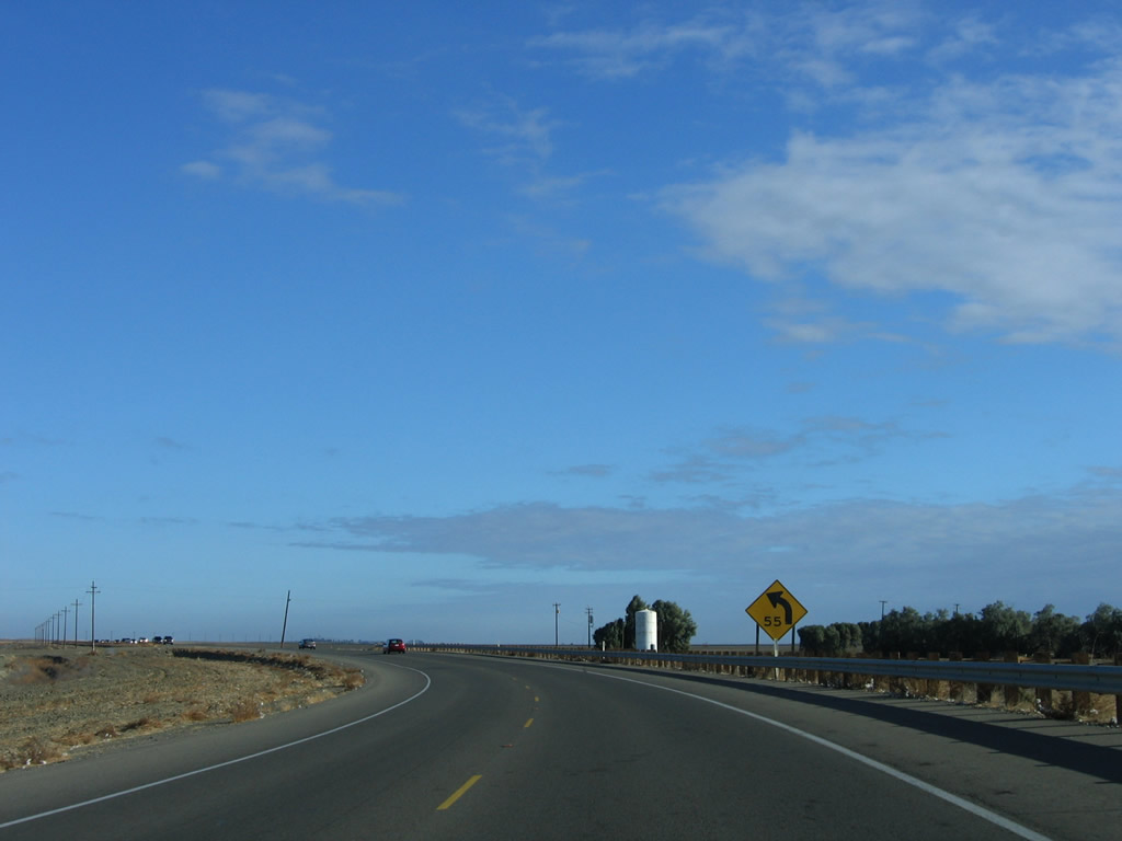
Continuing north, SR 41 traverses additional agricultural areas along its northeasterly course.
11/23/06
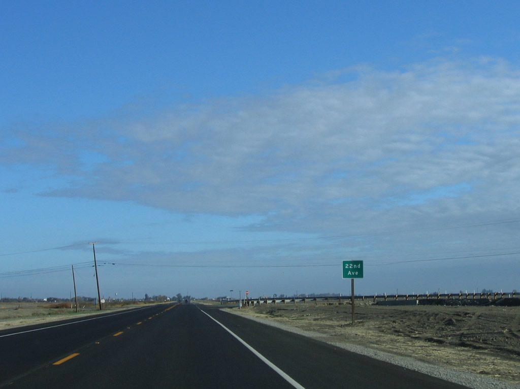
Twenty-Second Avenue is a north-south county route that provides local and farm access.
11/23/06
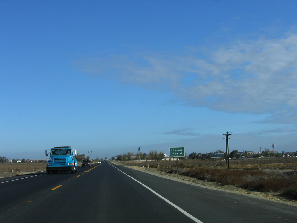
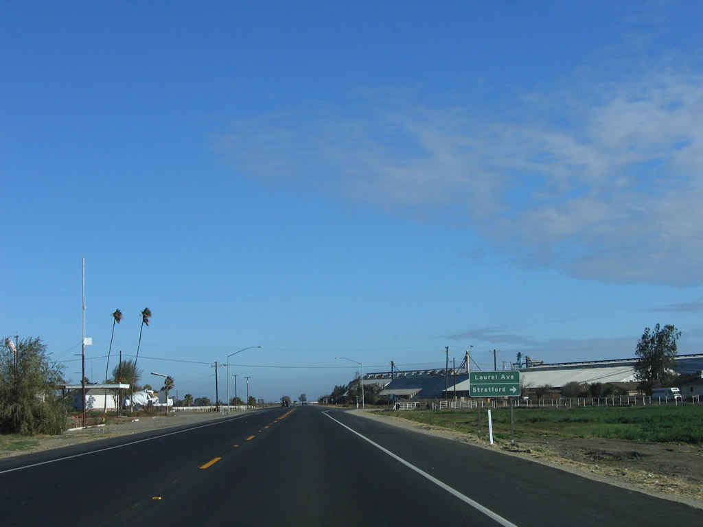
The turnoff from California 41 north to Laurel Avenue east leads into the unincorporated community of Stratford (population 1,264 as of the 2000 Census, elevation 203 feet).
11/23/06
California 41 runs along the west side of Stratford.
11/23/06
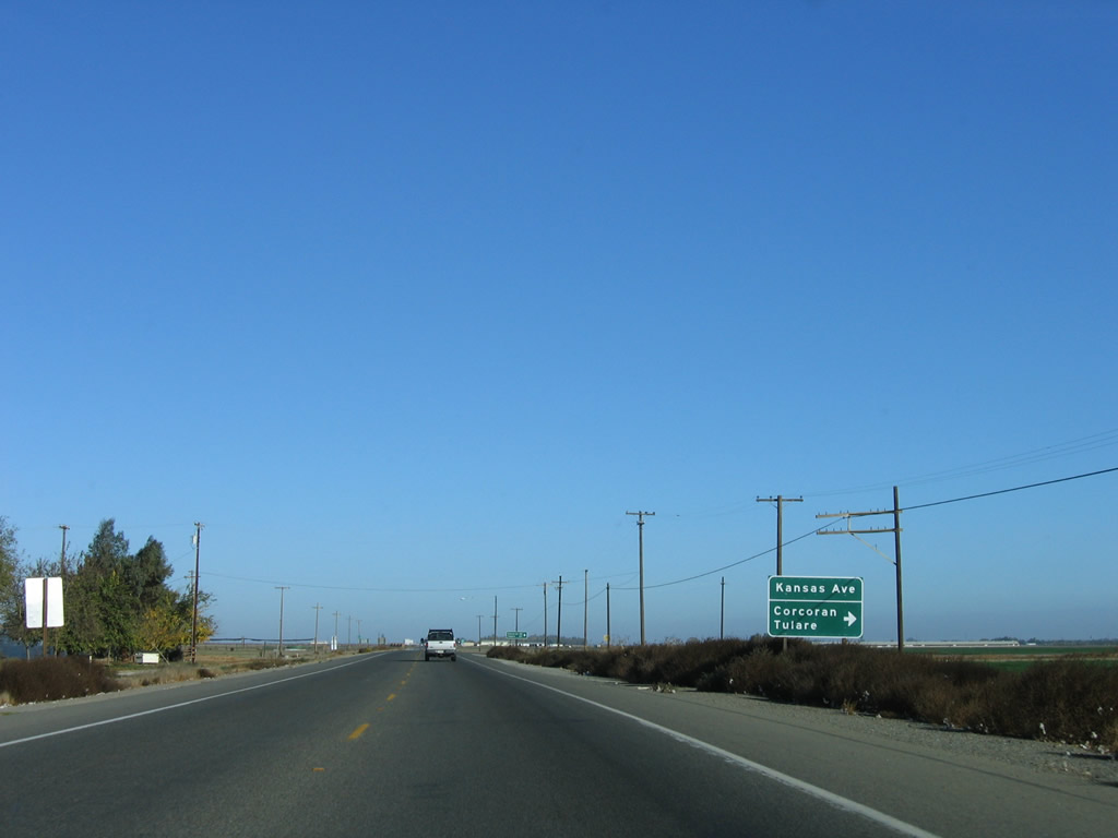
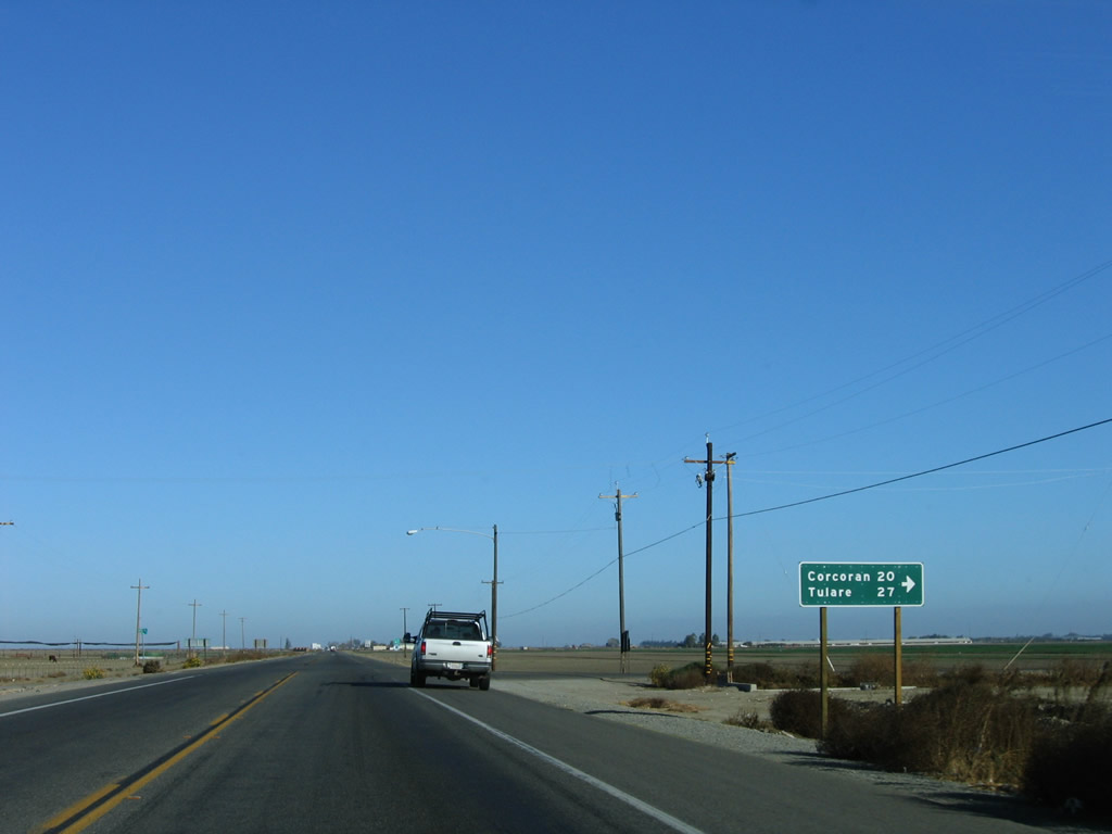
Kansas Avenue is a county road that leads east from SR 41 to Guernsey, Corcoran (20 miles), and Tulare (27 miles).
11/23/06
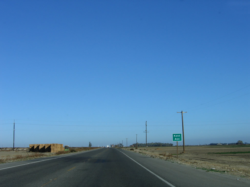
SR 41 next north at Kent Avenue.
11/23/06
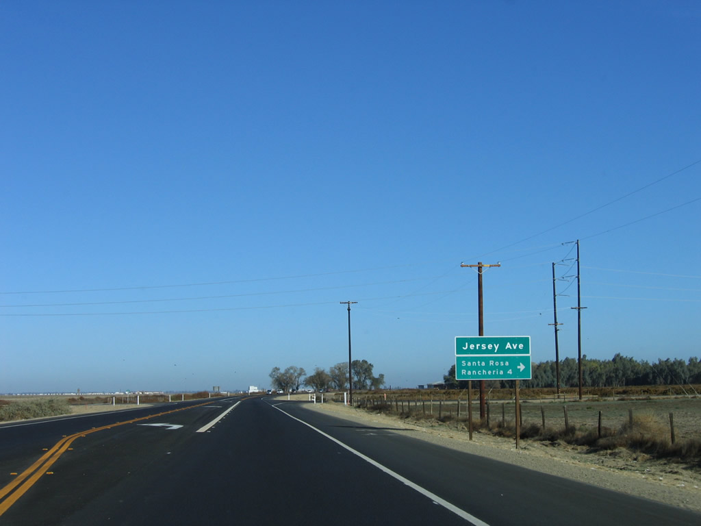
Jersey Avenue heads east from SR 41 to the Santa Rosa Rancheria community.
11/23/06
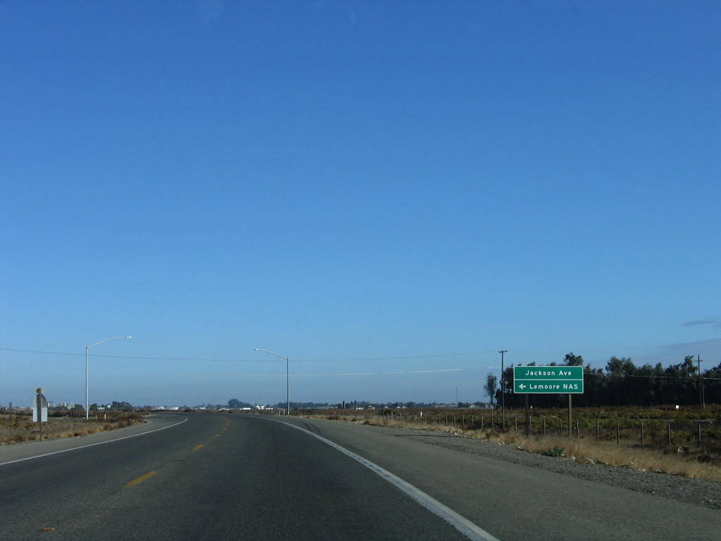
Lemoore Naval Air Station (Reeves Field) is located west of Lemoore via Jackson Avenue or California 198 west.
11/23/06
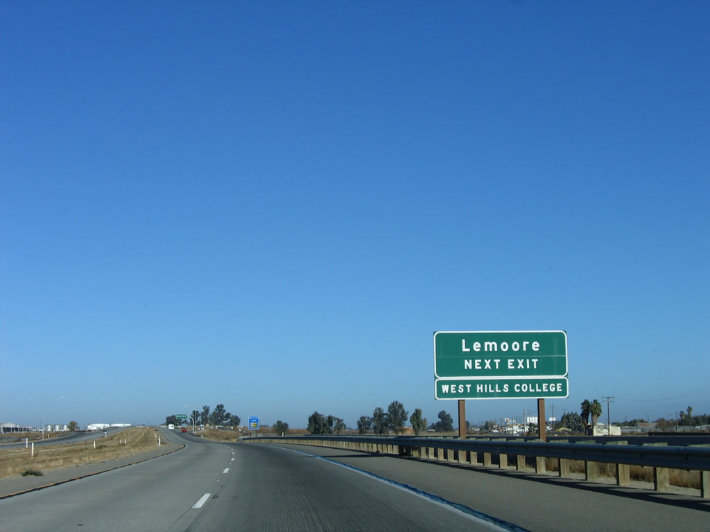
Northbound California 41 enters the city of Lemoore in the Central Valley.
11/23/06
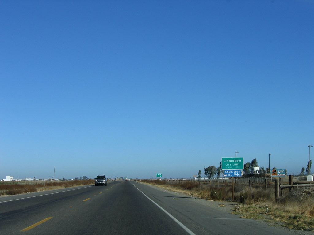
Lemoore had a population of 19,712 as of the 2000 Census and sits at an elevation of 230 feet. Incorporated on July 11, 1900, Lemoore was named after Dr. Lovern Lee Moore, who founded the community in 1871.
11/23/06
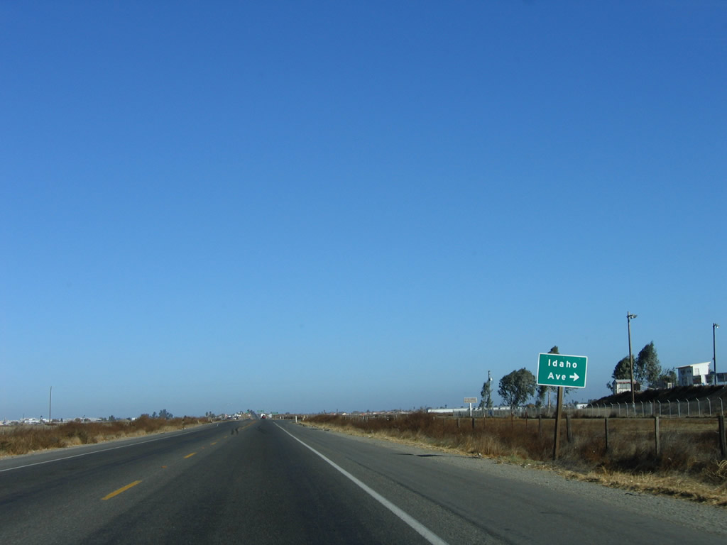
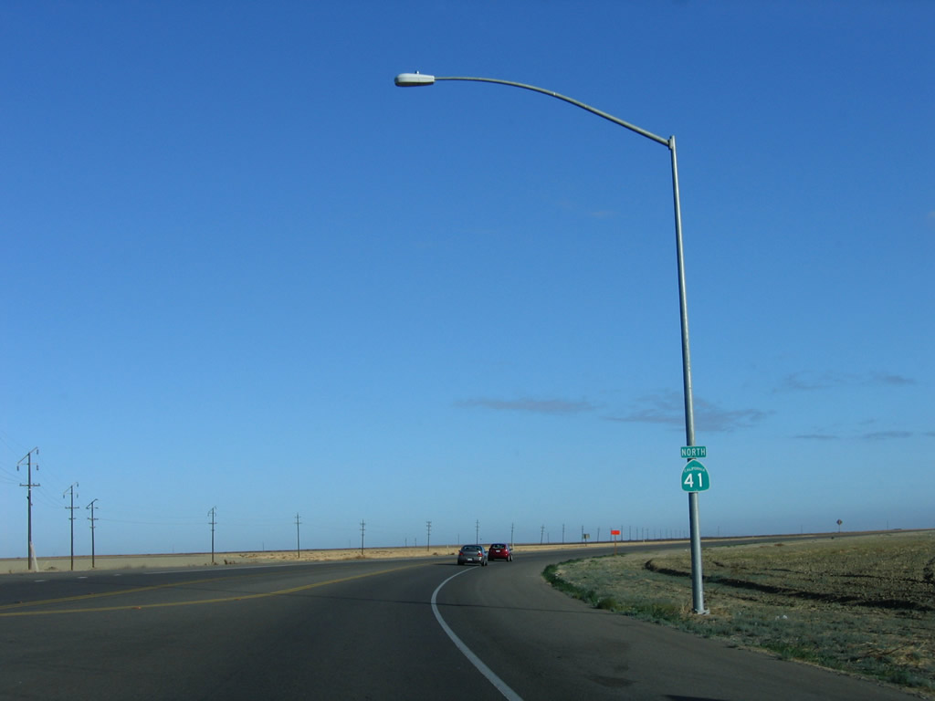
Beyond the intersection with Idaho Avenue, northbound SR 41 expands into a four-lane expressway.
11/23/06
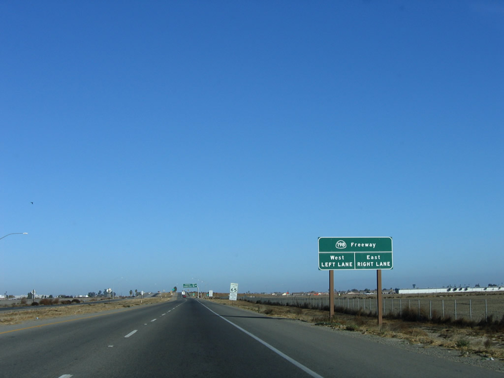
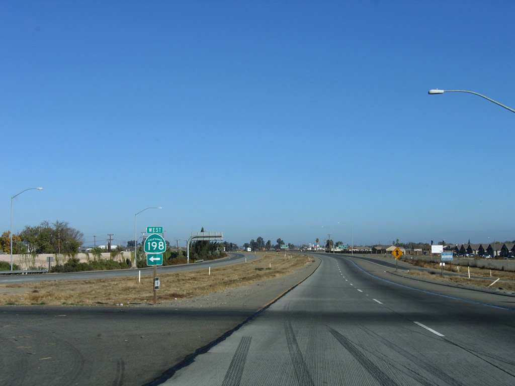
SR 41 meets the freeway along SR 198 at a parclo interchange.
11/23/06
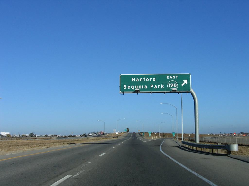
Passing south of Lemoore, SR 198 travels east along a freeway to the Kings County seat of Hanford.
11/23/06
SR 198 extends east to Visalia and Kings Canyon-Sequoia National Parks.
11/23/06
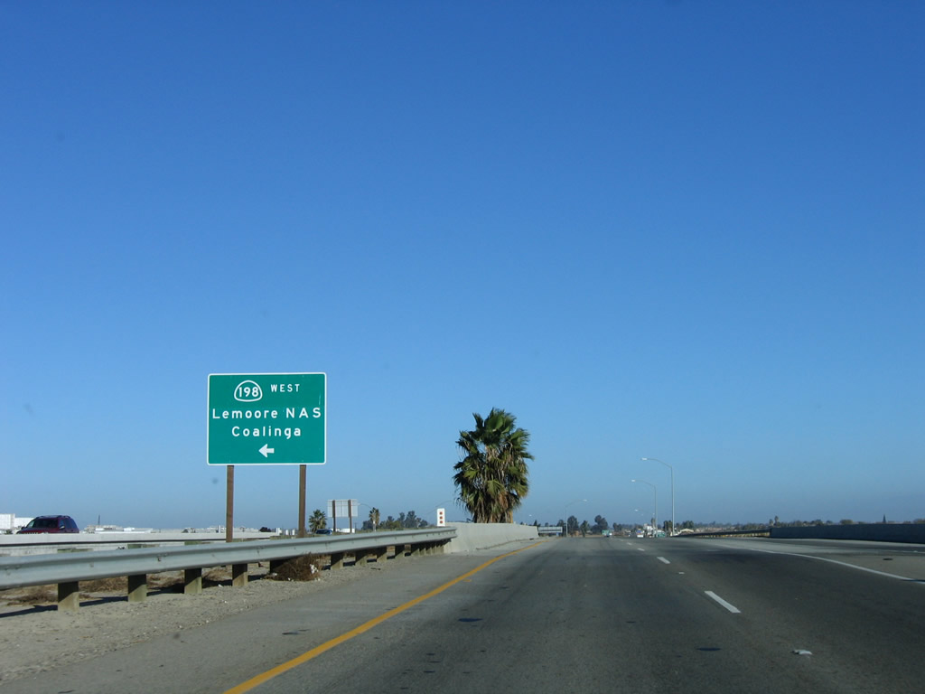
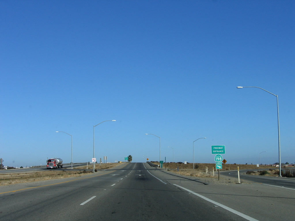
SR 198 continues west from SR 41 along a controlled access expressway to Lemoore Station en route to Coalinga and U.S. 101 near San Lucas.
11/23/06
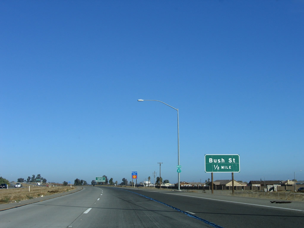
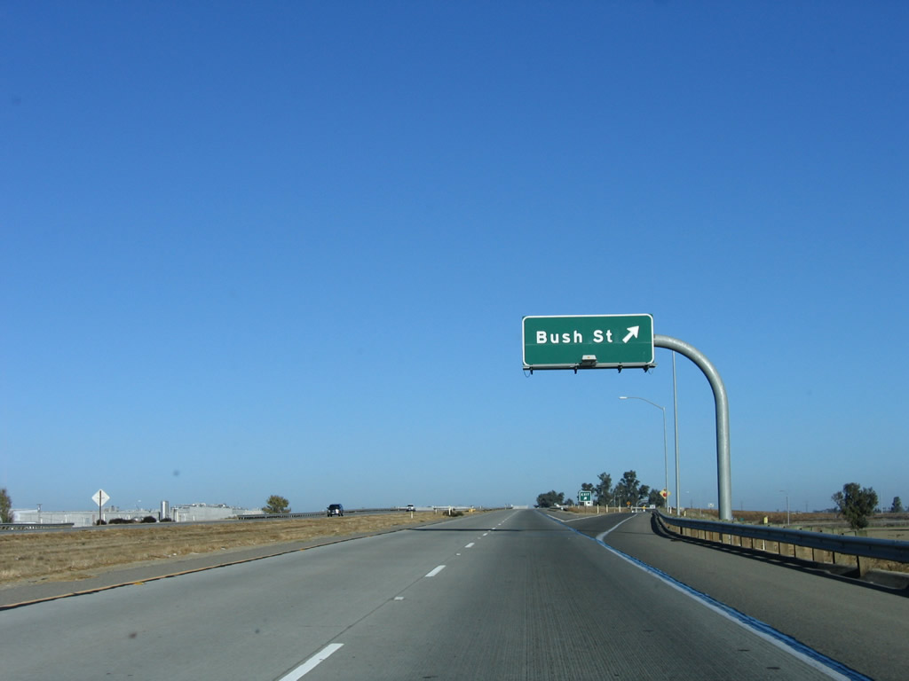
SR 41 next meets Bush Street at a diamond interchange in Lemoore.
11/23/06
Bush Street spurs west to Lemoore College. East from the unnumbered exit on SR 41, Bush Street runs just south of Downtown Lemoore.
11/23/06
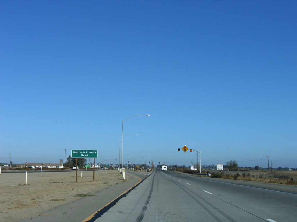
The next intersection along California 41 north is with Hanford Armona Road.
11/23/06
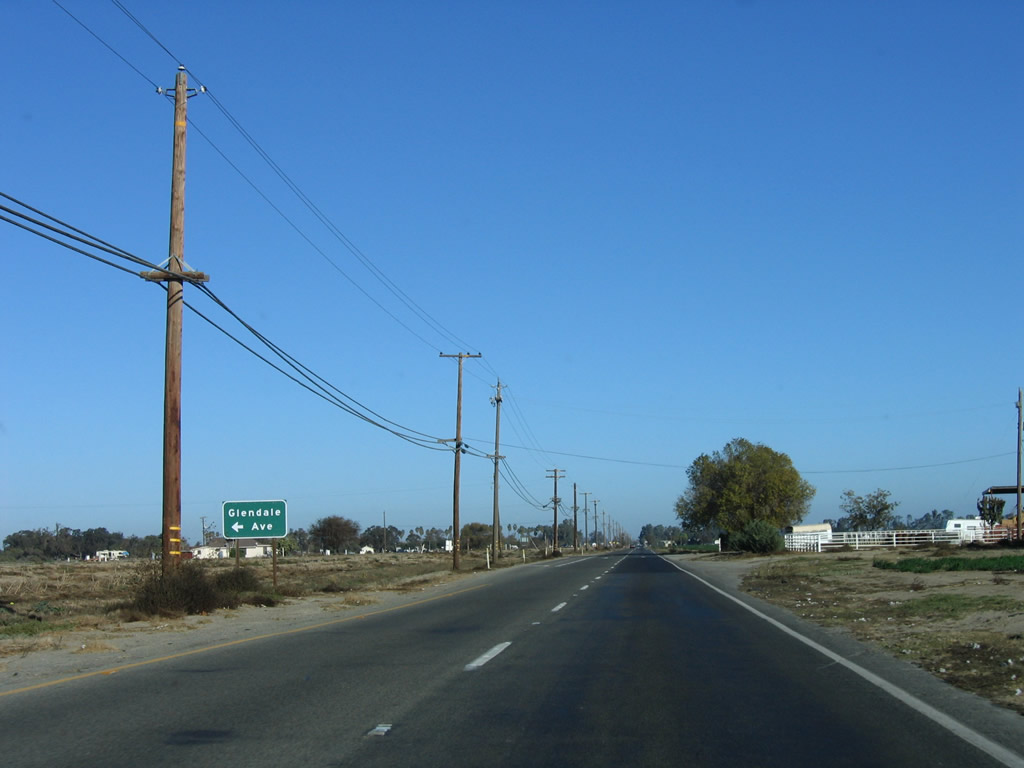
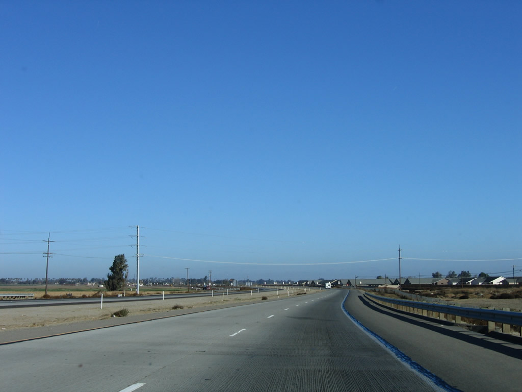
Leaving the city of Lemoore, SR 41 proceeds north to intersect Glendale Avenue.
11/23/06
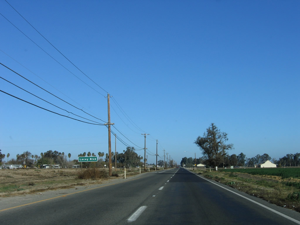
Lacey Boulevard crosses agricultural areas east from SR 41 before entering the commercialized west side of Hanford.
11/23/06
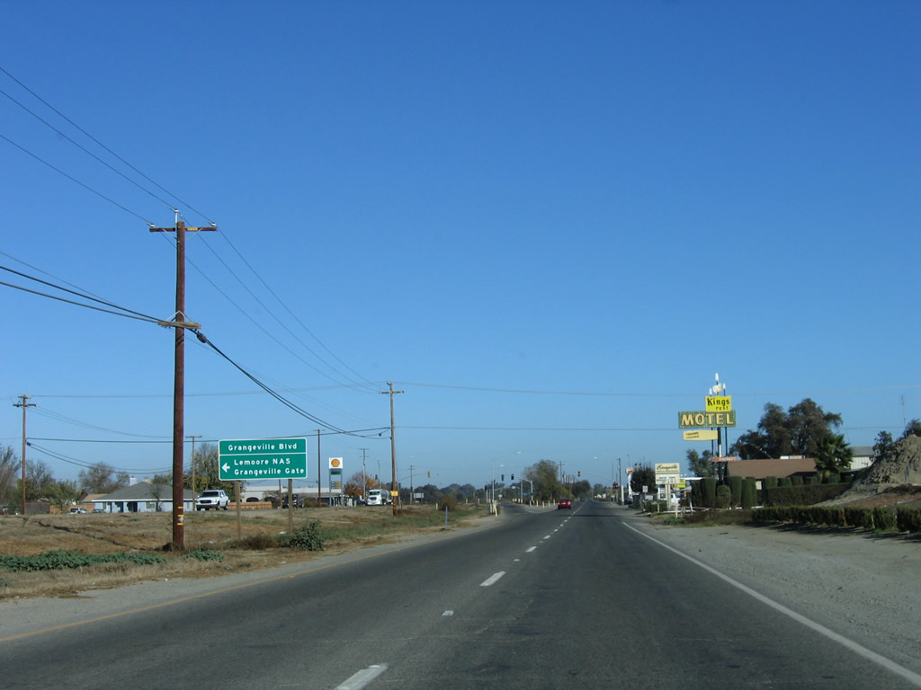
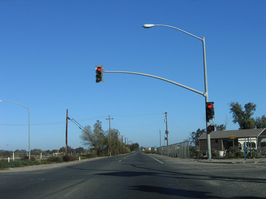
Continuing north, California 41 next approaches a traffic signal with Grangeville Boulevard west to Lemoore Naval Air Station (Reeves Field) and east to Hanford. The state route continues with an expressway alignment (divided with two lanes in each direction).
11/23/06
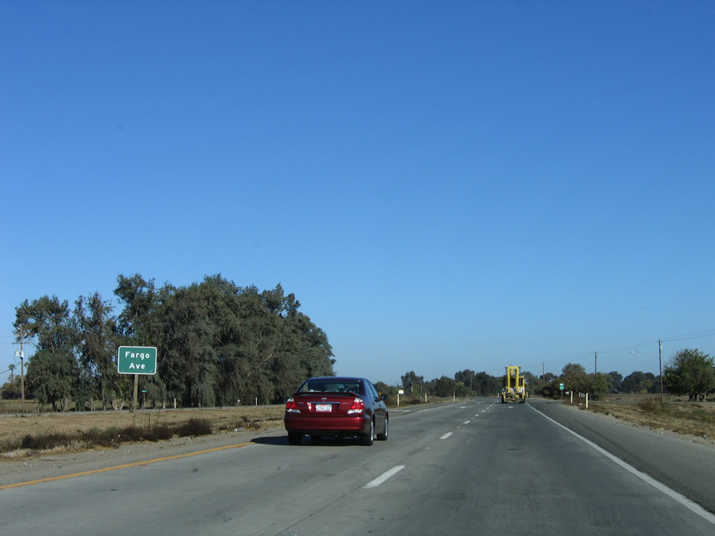
SR 41 advances north to Fargo Avenue.
11/23/06
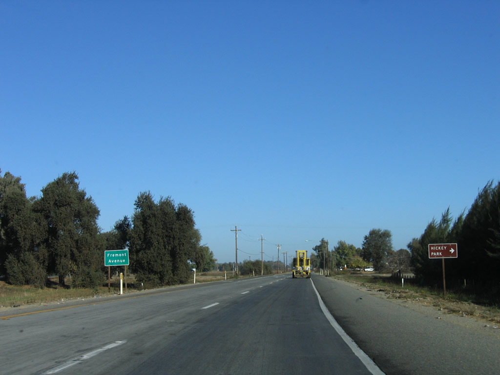
Fremont Avenue crosses the Kings River South Fork east to Hickey Park and the north side of Hanford.
11/23/06
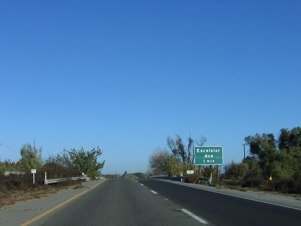
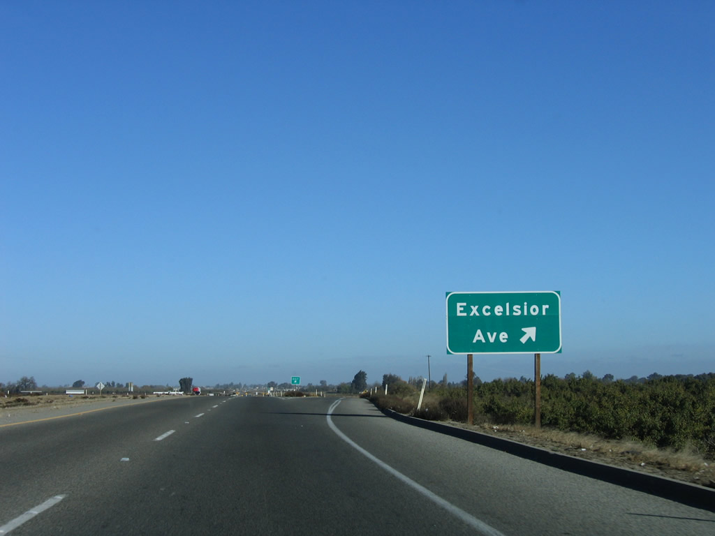
Northbound SR 41 meets Excelsior Avenue at a diamond interchange.
11/23/06
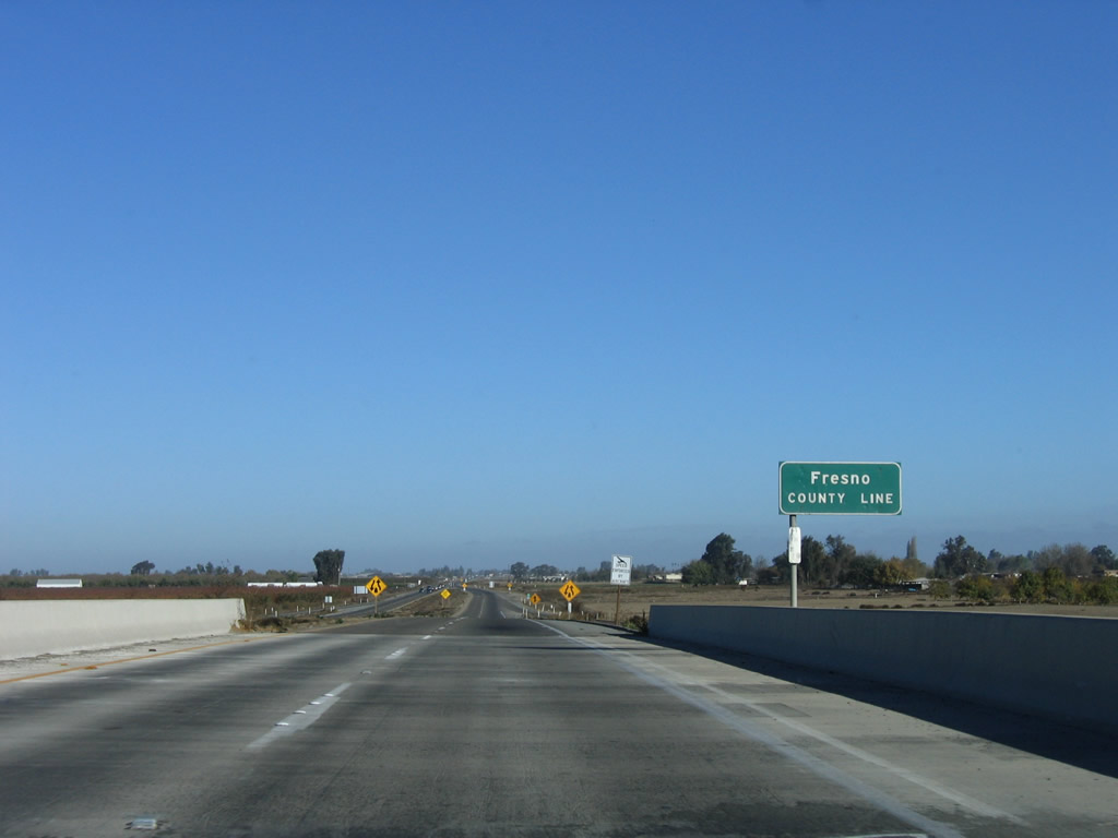
Excelsior Avenue also signifies the boundary between Kings County and Fresno County.
11/23/06
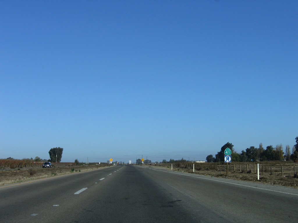
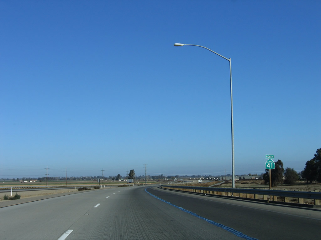
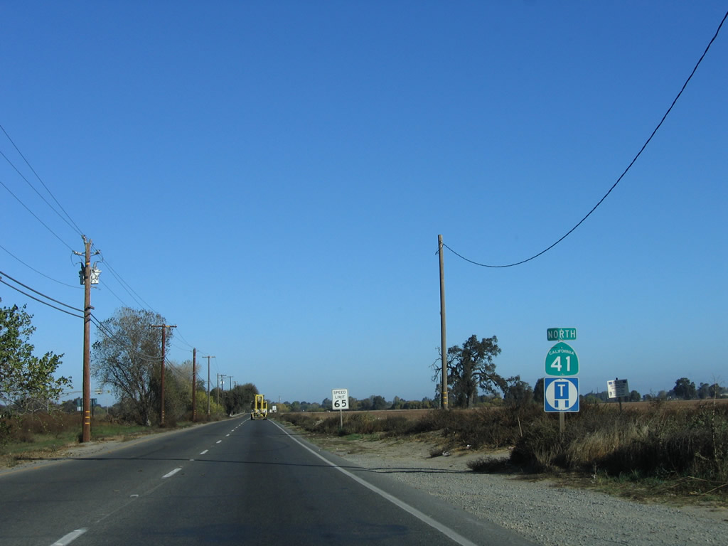
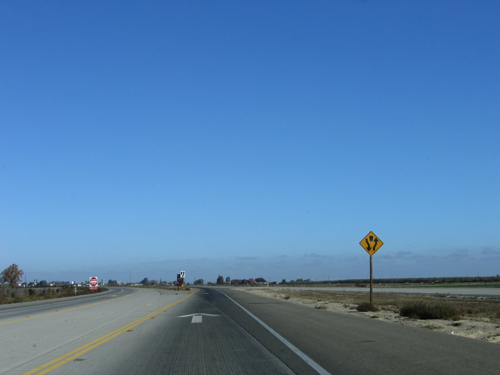
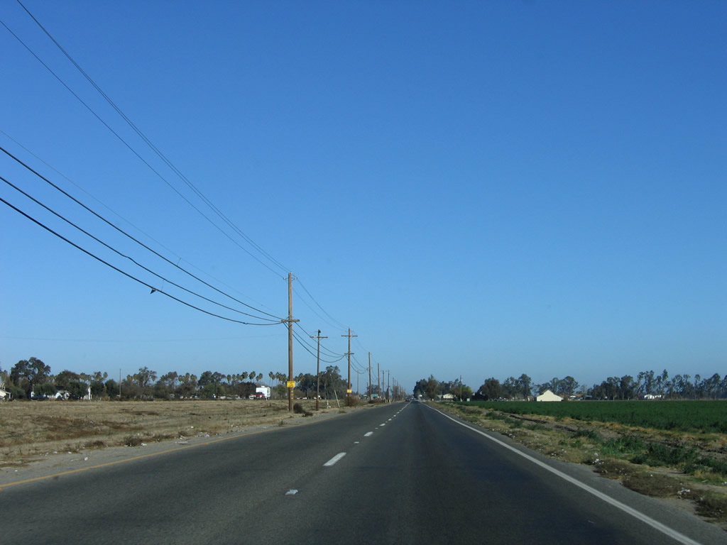
Continuing north from Excelsior Avenue and Hub, SR 41 downgrades from a four-lane expressway to a two-lane highway separated by a barrier median. Plans call for the eventual conversion of all of SR 41 to four-lane status from Lemoore to Fresno in both Kings and Fresno Counties.
11/23/06
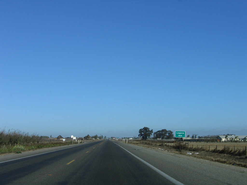
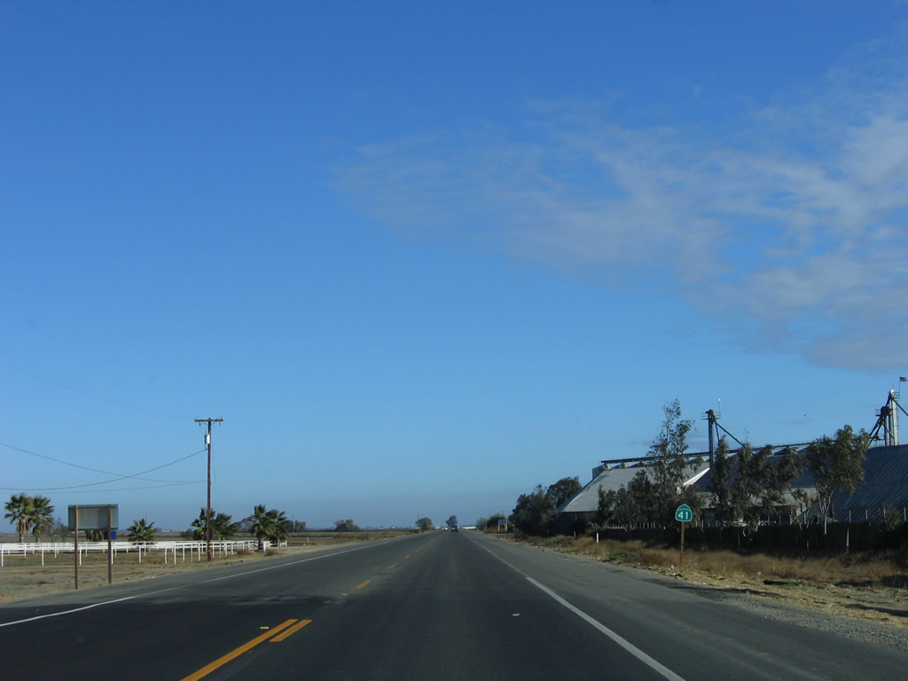
SR 41 north at Laguna Avenue.
11/23/06
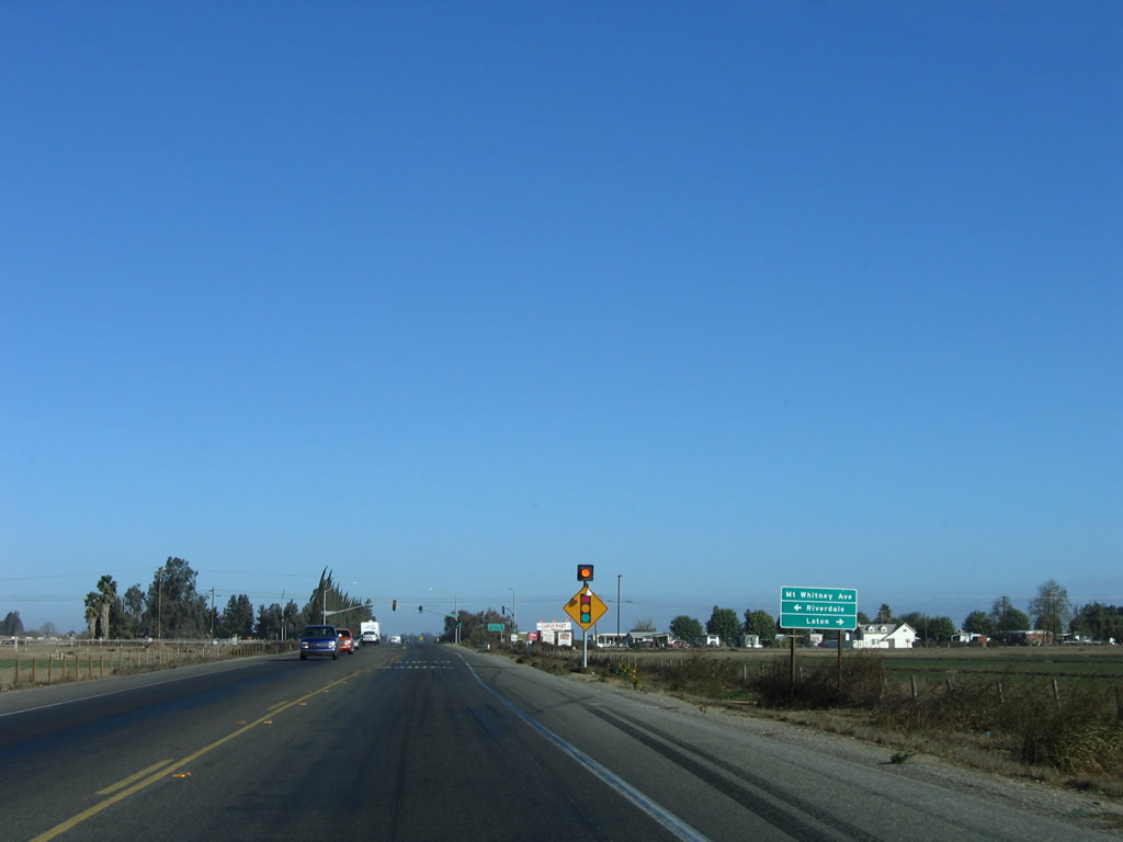
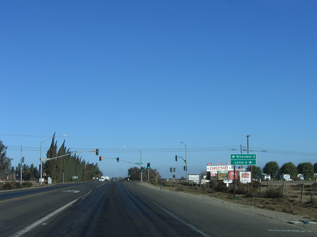
Mount Whitney Avenue runs east from SR 41 and Camden to Laton and west to Riverdale.
11/23/06
The former alignment of State Route 41 follows parallel Elm Avenue north from Camden to Harlan Avenue.
11/23/06
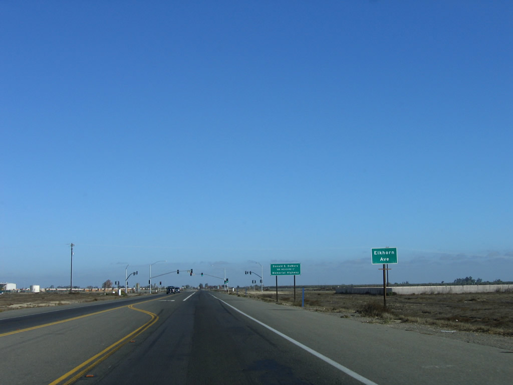
SR 41 shifts east from parallel Elm Avenue and intersects Elkhorn Avenue.
11/23/06
North from Elkhorn Avenue, SR 41 expands into a four-lane, at-grade expressway. Elm Avenue (old SR 41) remains to the west, paralleling the state route north to Elm View.
11/23/06
SR 41 is known as the Yosemite Freeway from Elkhorn Avenue north through the city of Fresno.
11/23/06
Photo Credits:
- Andy Field: 11/23/06, 11/24/11
Connect with:
Page Updated Wednesday November 30, 2011.