
State Route 41 North - Fresno to Yosemite
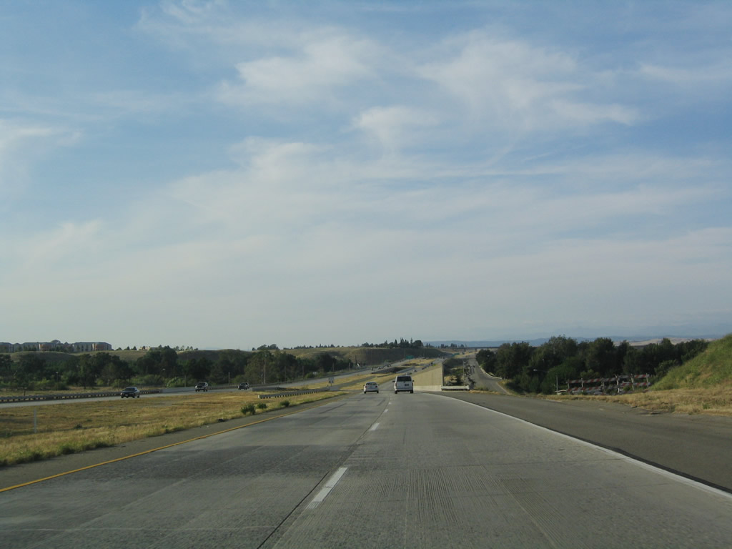
California 41 (Eisenhower / Yosemite Freeway) reduces to two northbound lanes.
05/13/05
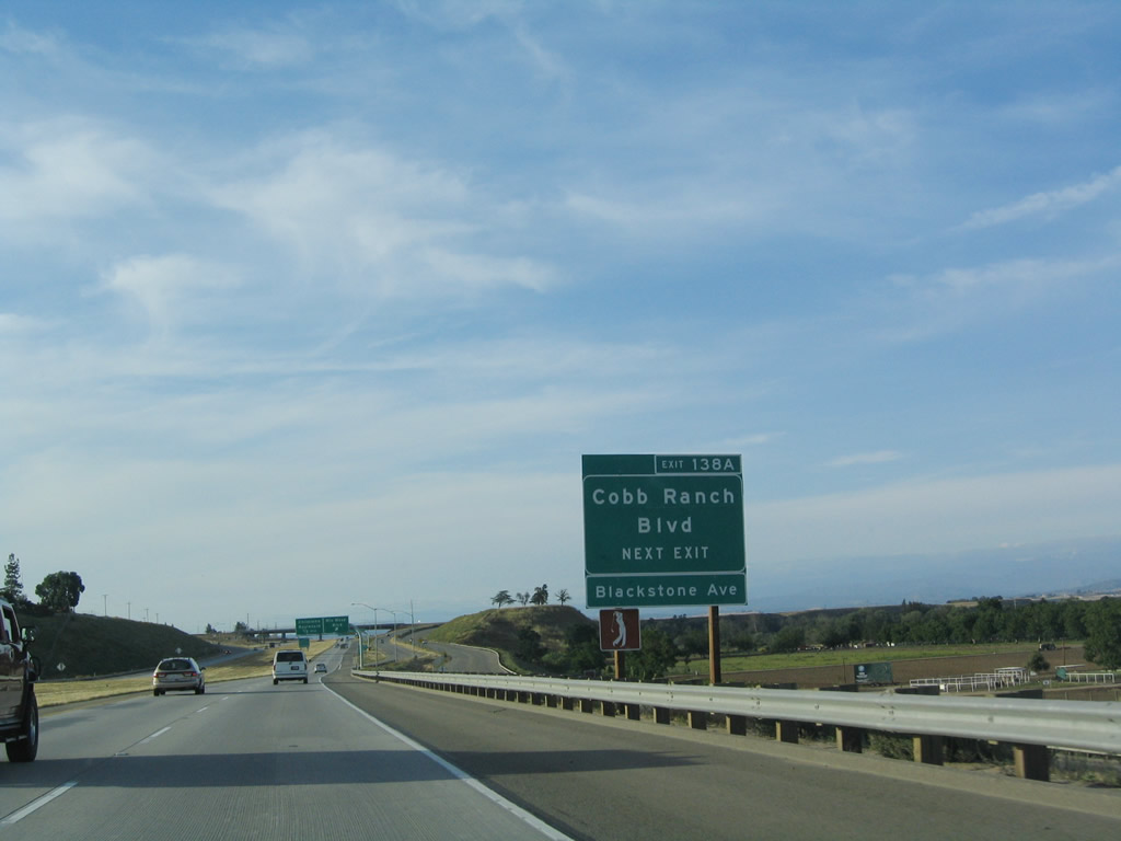
The next exit along California 41 (Yosemite Freeway) north is Exit 138A, Rio Mesa Boulevard and Cobb Ranch Boulevard. This interchange was built in 1999 and is the last interchange along northbound California 41, pending future development and traffic needs.
05/13/05
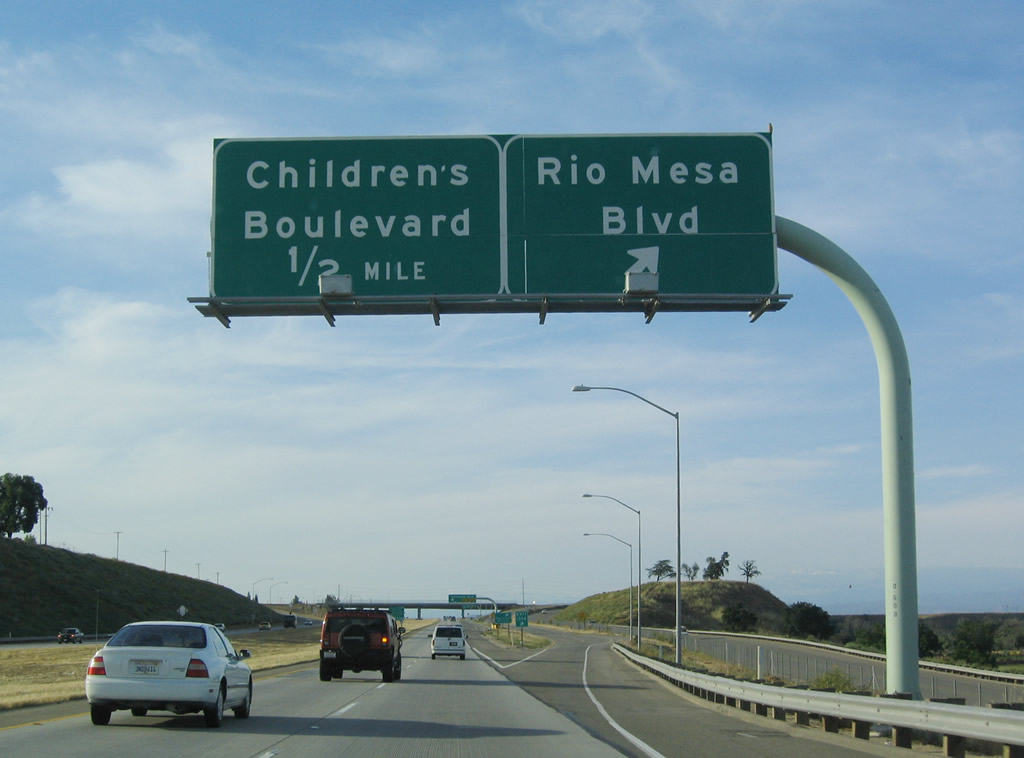
Northbound California 41 (Yosemite Freeway) reaches Exit 138A, Rio Mesa Boulevard and Cobb Ranch Boulevard. The final northbound exit from California 41 north is with Exit 138B, Children's Boulevard southwest to Children's Hospital of Central California.
05/13/05
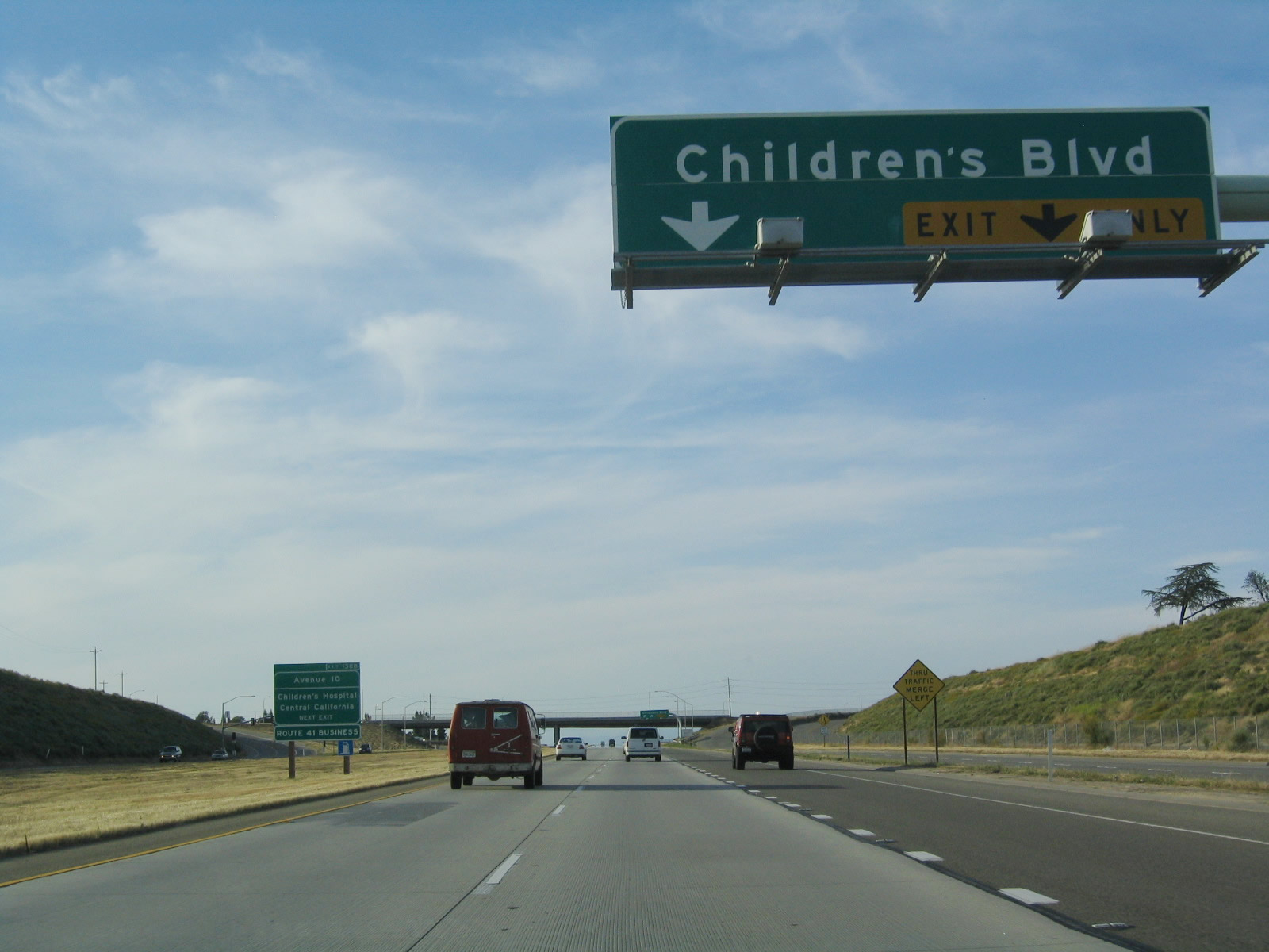
The right two lanes connect to Exit 138B, Children's Boulevard southwest to the Children's Hospital and Avenue 9 west to Gregg (with a connection to California 99). Use Exit 138B, Children's Boulevard west to California 41 Business/Avenue 10 north to Rolling Hills.
05/13/05
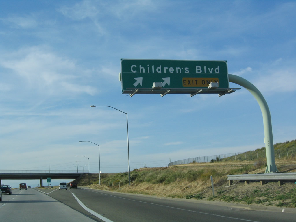
Northbound California 41 reaches Exit 138B, Children's Boulevard west to the Children's Hospital and California 41 Business/Avenue 10 north to Rolling Hills. The business route will return to California 41 at the Avenue 12 intersection, about two miles north of here.
05/13/05
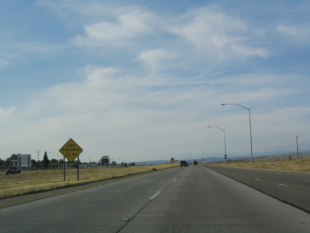
The California 41 freeway finally comes to an end after Children's Boulevard.
05/13/05
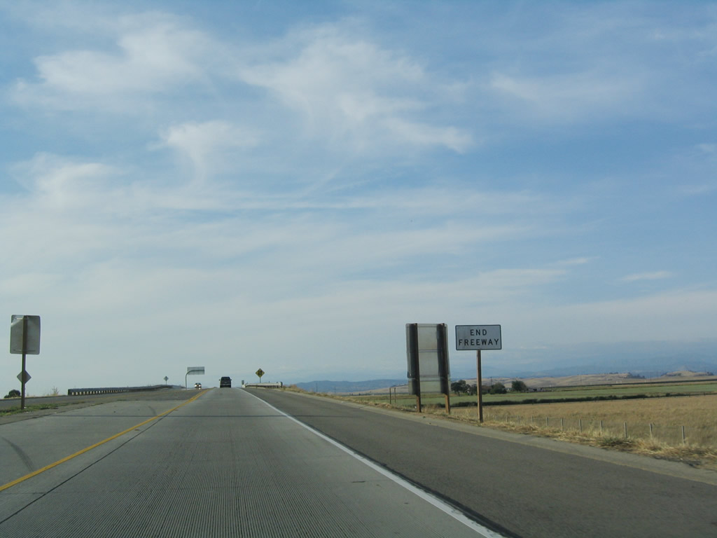
California 41 reverts to a two-lane controlled access freeway (Super Two) with no center median.
05/13/05
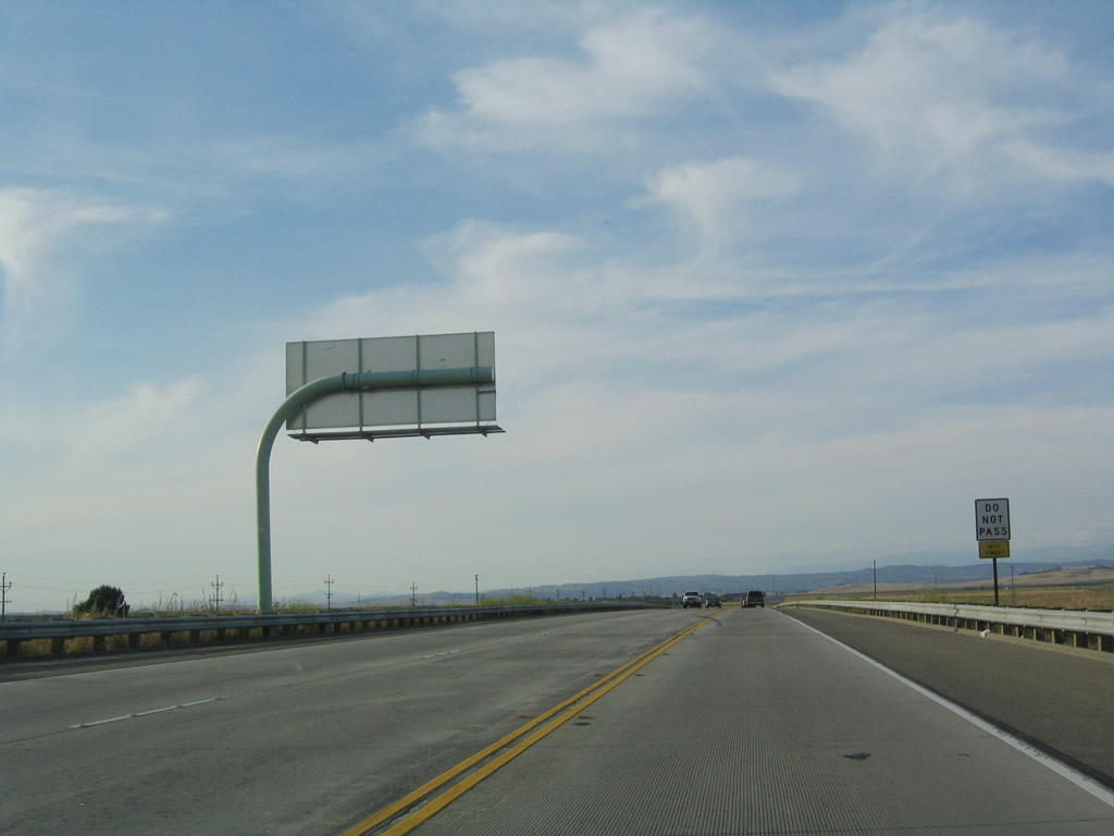
This segment of state highway has no passing lanes but would be easily upgradeable to full freeway standards if needed.
05/13/05
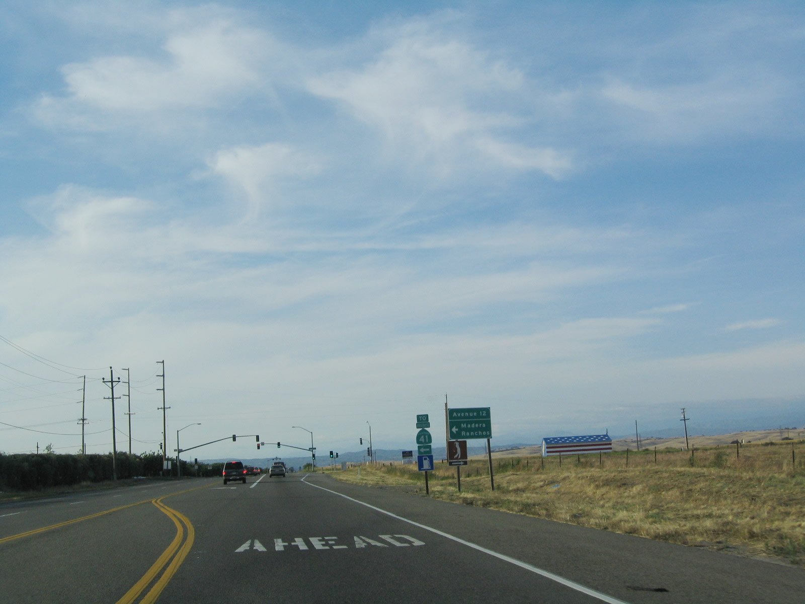
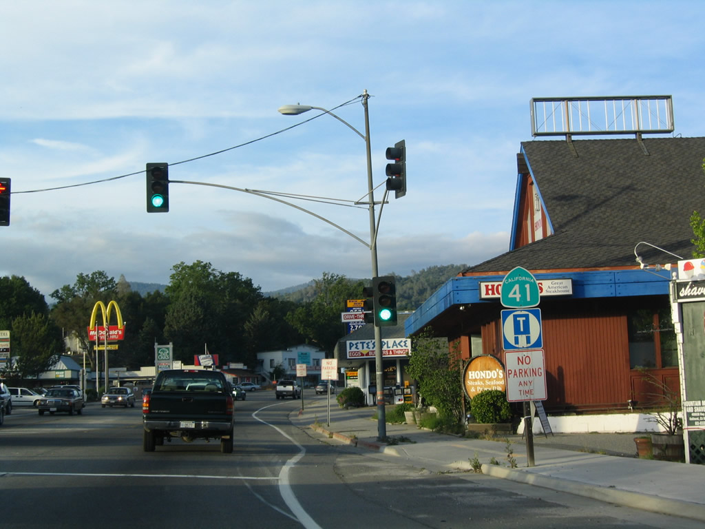
The first traffic signal on this northern stretch of California 41 is with Avenue 12 west to California 41 Business/Avenue 10 south to Rolling Hills.
05/13/05
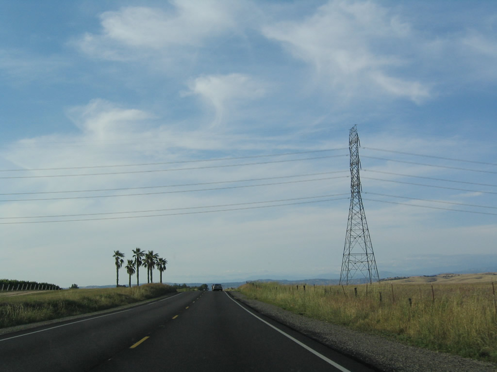
A set of Pacific Gas & Electric power transmission lines pass over California 41 shortly thereafter.
05/13/05
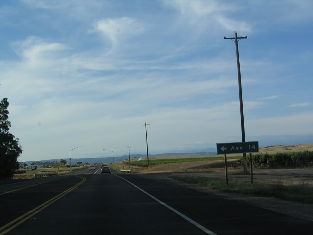
Northbound California 41 approaches Avenue 14.
05/13/05
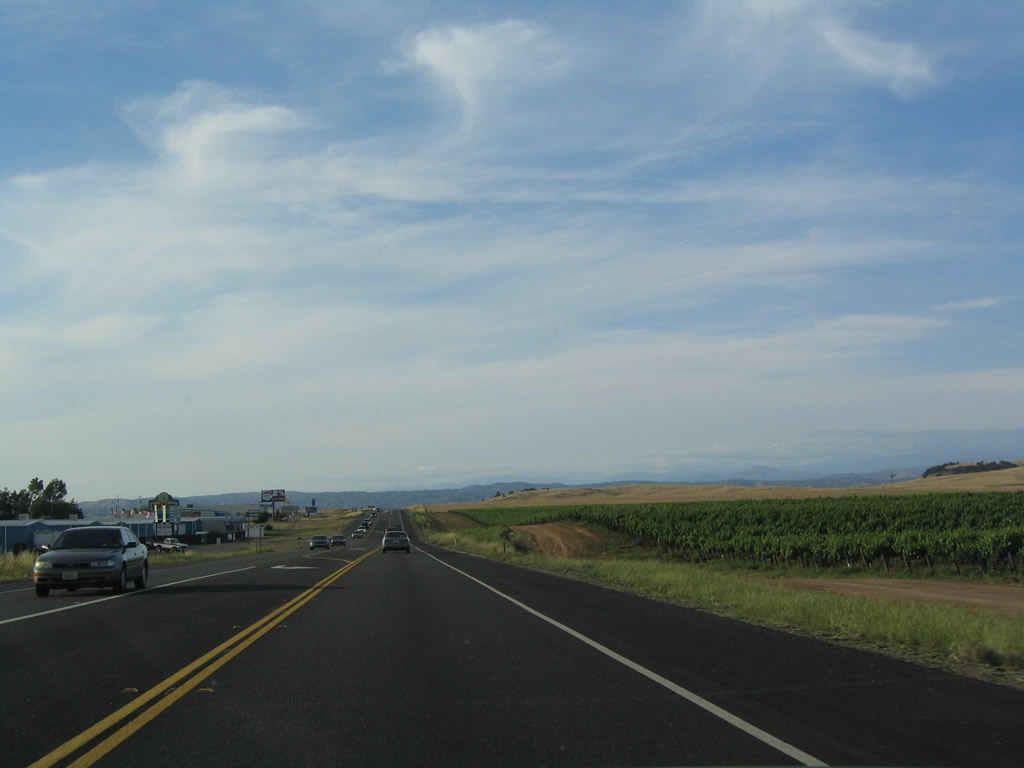
A vineyard lines the east side of California 41, which aims due north toward Yosemite National Park.
05/13/05
California 41 carries a fair amount of traffic on its two-lane segment.
05/13/05
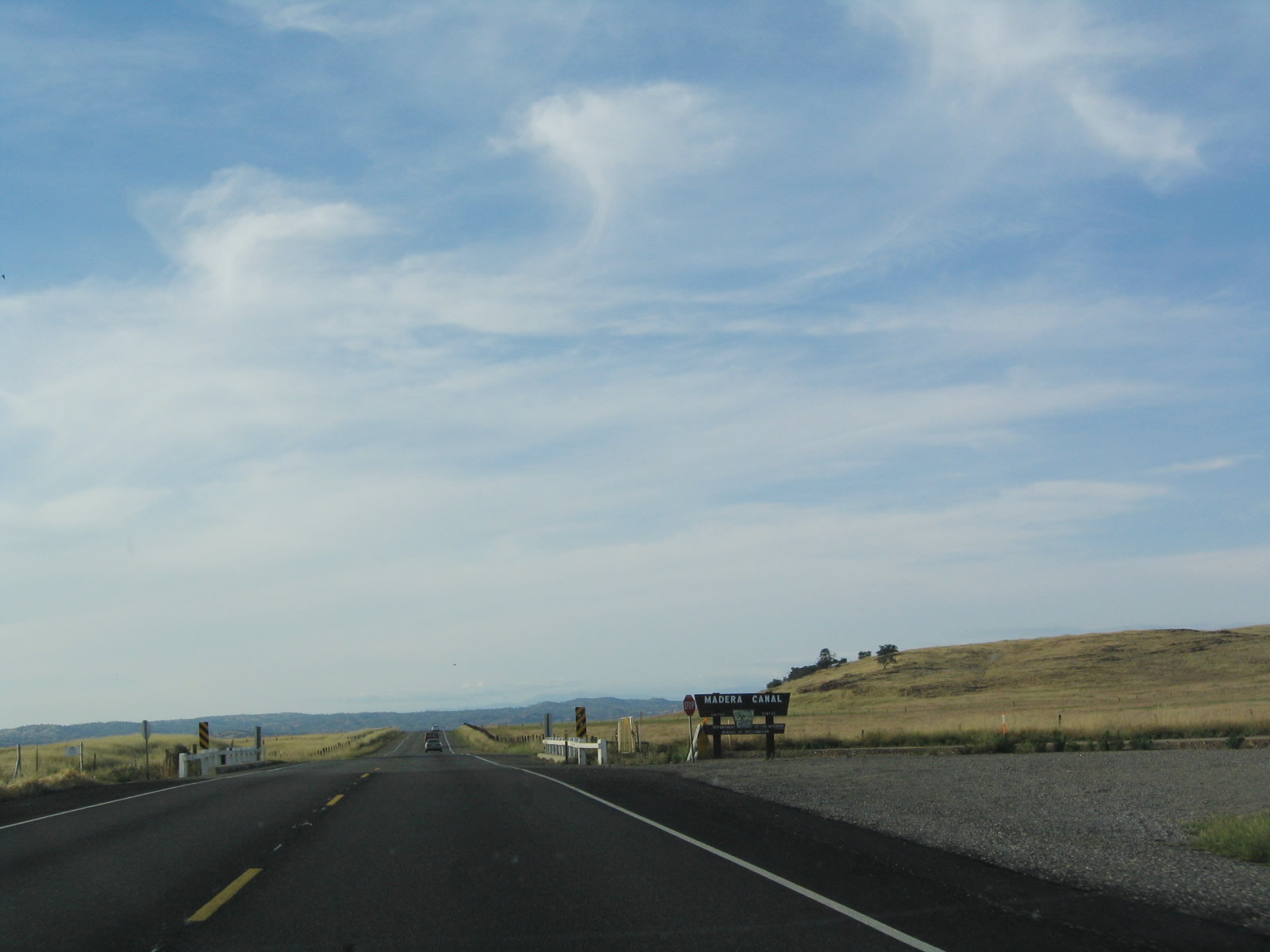
Soon thereafter, California 41 crosses the Madera Canal.
05/13/05
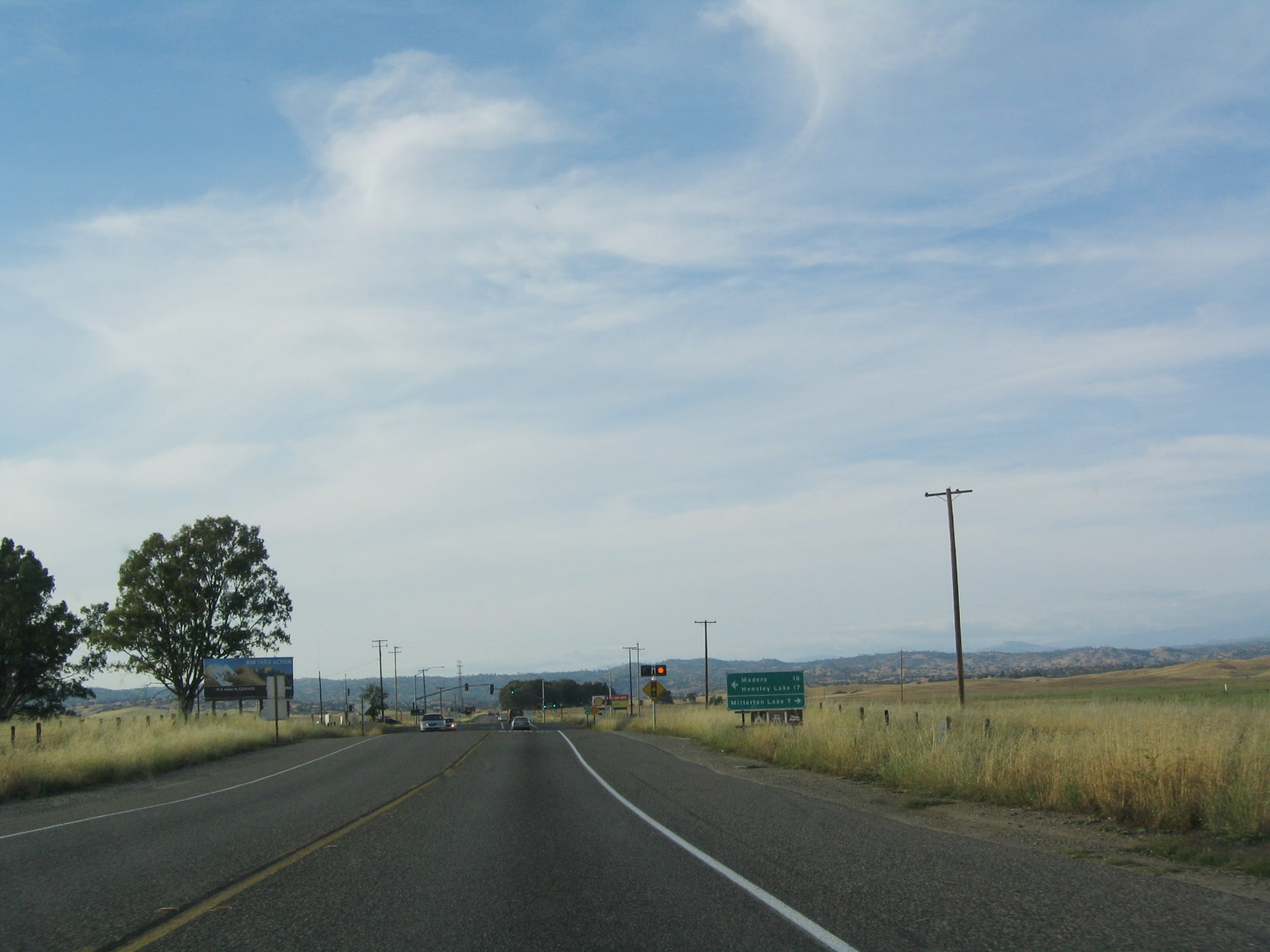
The next signalized intersection along California 41 north is with California 145 west to Madera on the California 99 corridor.
05/13/05
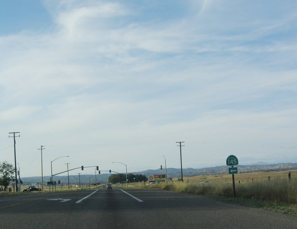
California 145 travels west to Madera, then turns south to Kerman and Huron.
05/13/05
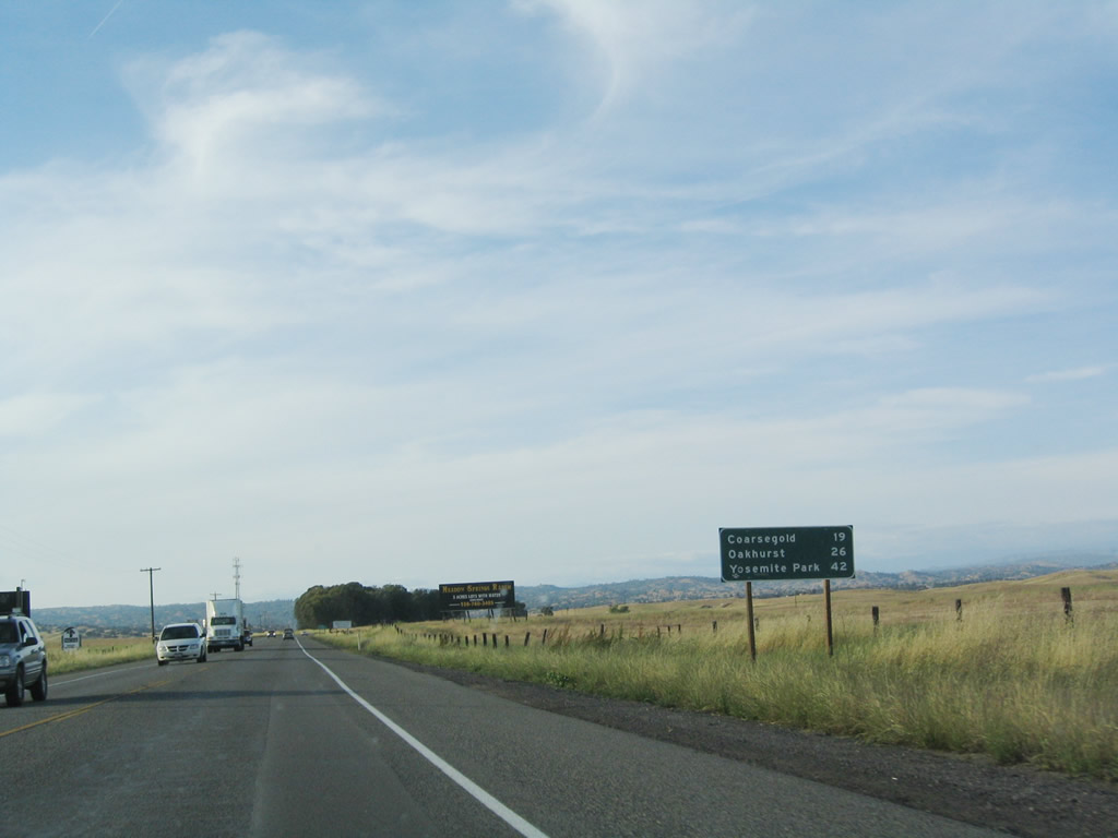
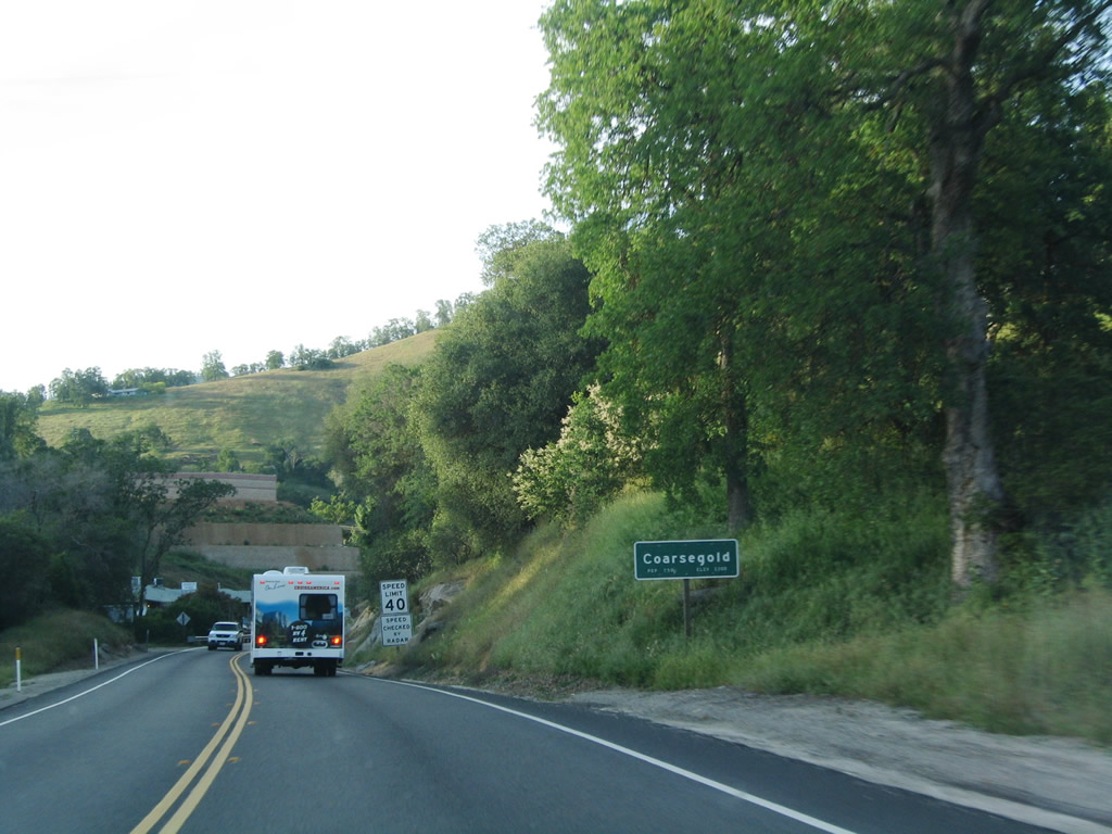
This mileage sign, posted after the California 145 intersection, provides the distance to Coarsegold (19 miles), Oakhurst (26 miles), and Yosemite National Park (42 miles) via California 41 north.
05/13/05
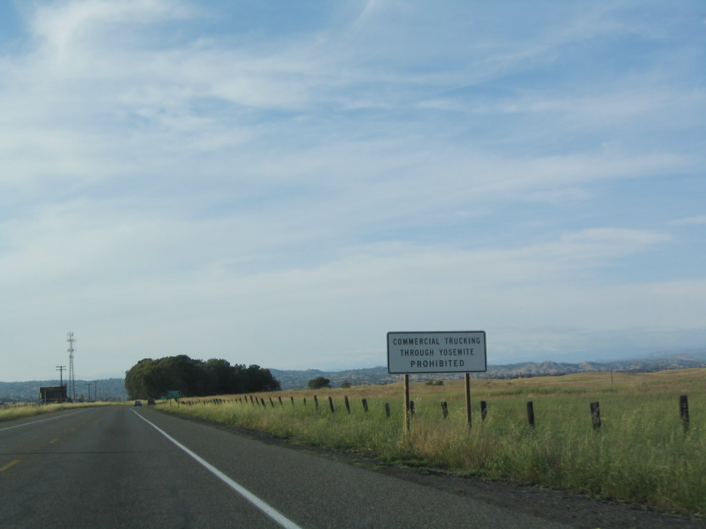
Commercial vehicles are prohibited through Yosemite National Park. Through commercial traffic should bypass the park by way of California 145 west to California 99 north.
05/13/05
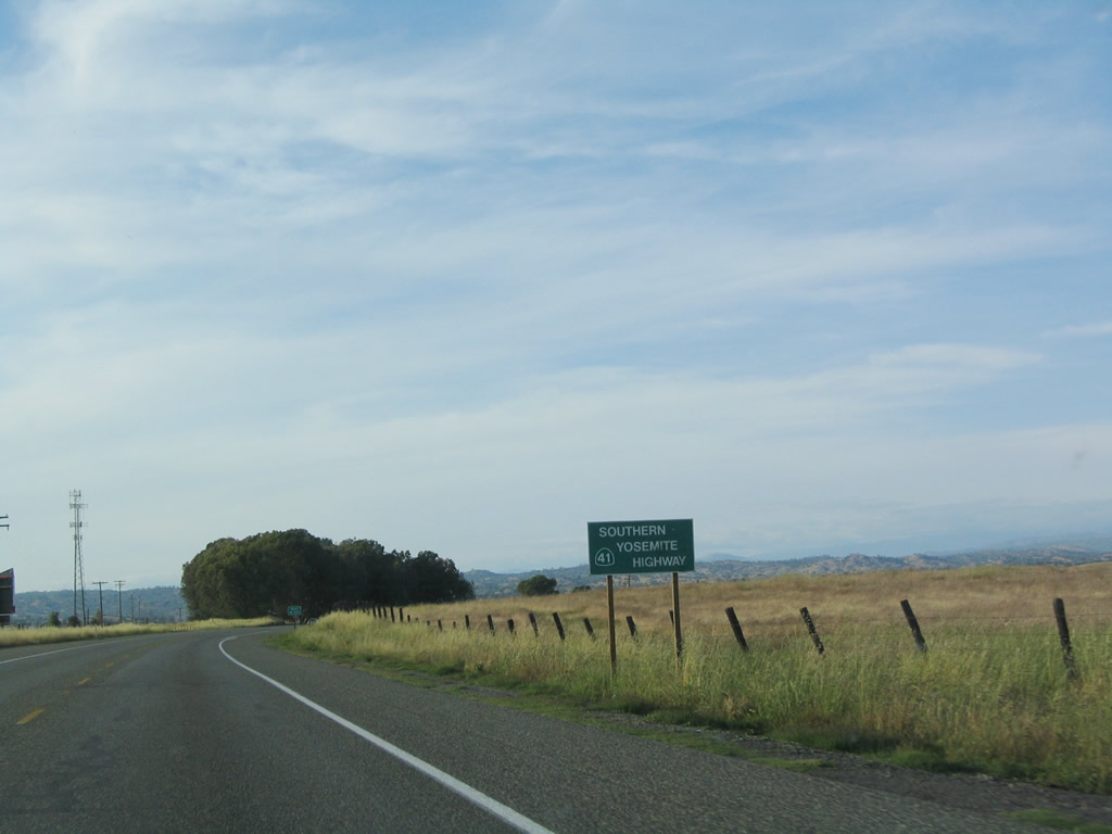
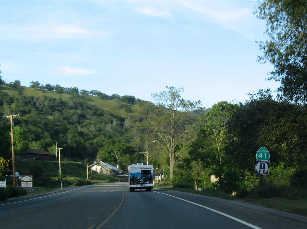
California 41 is the Southern Yosemite Highway.
05/13/05
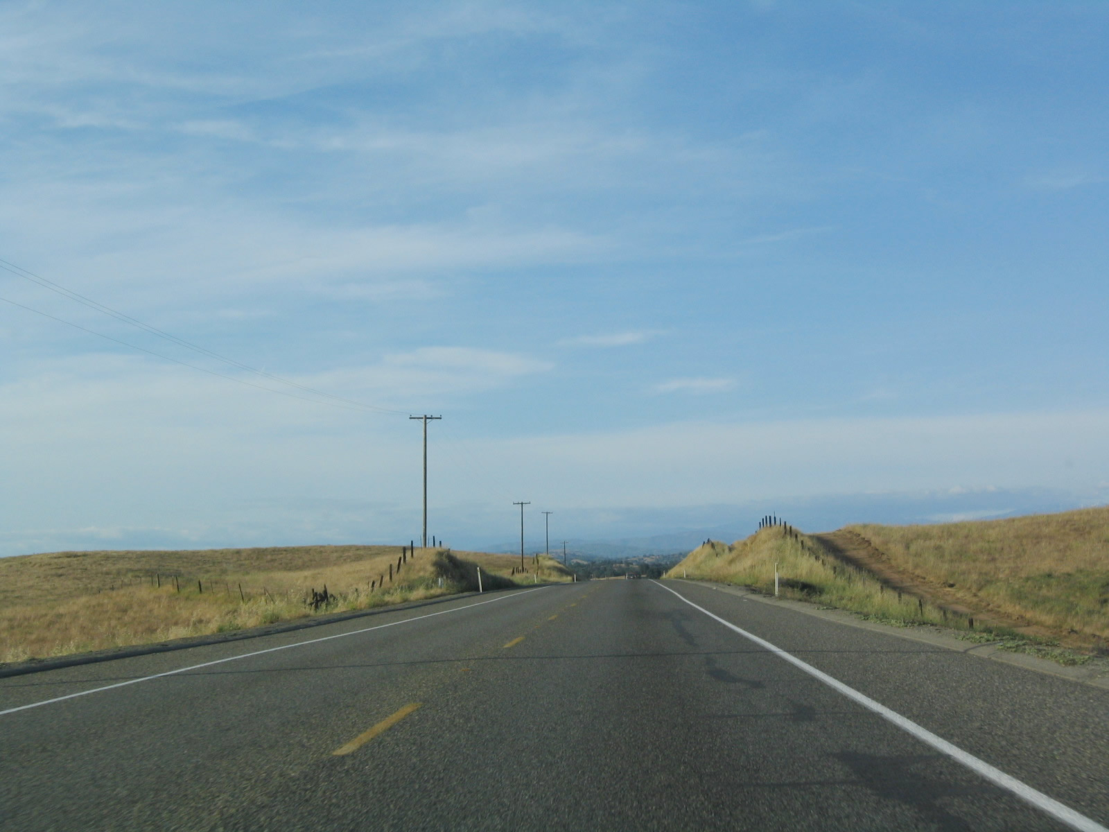
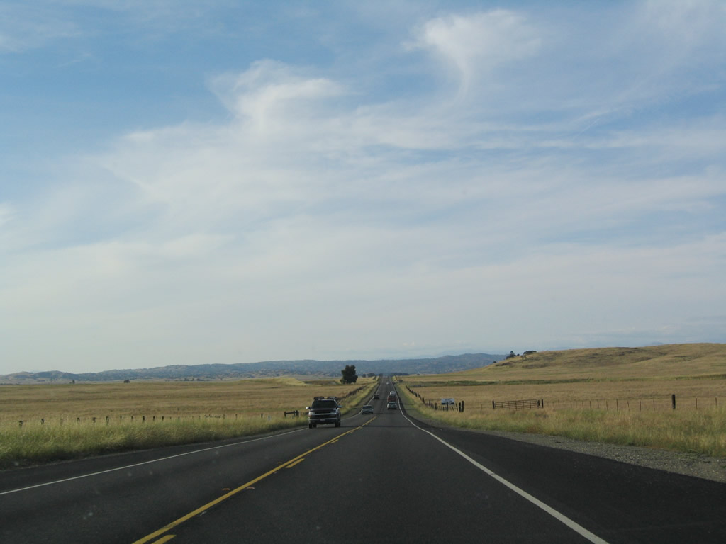
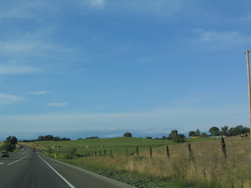
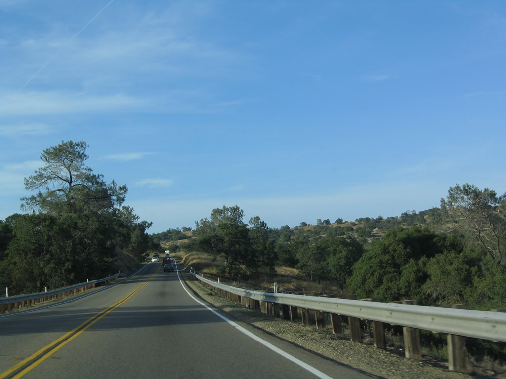
California 41 enters the Sierra Nevada foothills and starts to gain elevation. Occasional passing lanes allow for faster traffic to pass.
05/13/05
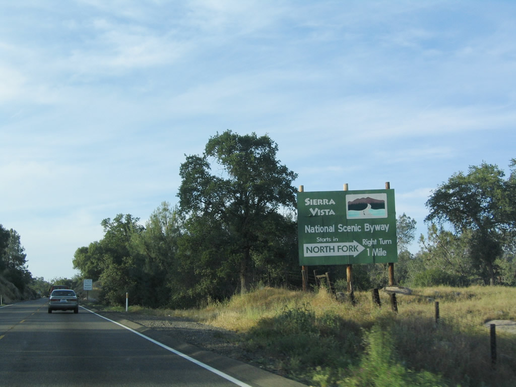
Northbound California 41 approaches Road 200 (North Fork Road) east to the Sierra Vista National Scenic Byway. Visit the link to see the map to the scenic byway, which offers stunning views of High Sierra scenery.
05/13/05
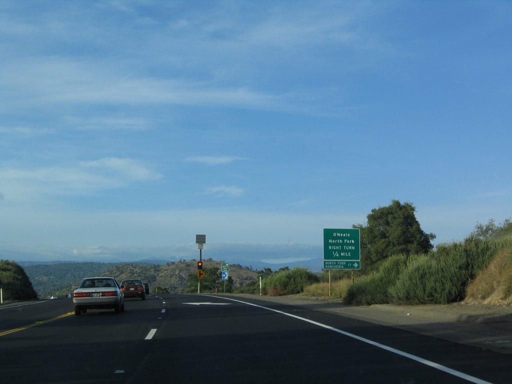
Northbound California 41 meets Road 200 (North Fork Road) east to O'Neals, North Fork, and Sierra Vista National Scenic Byway.
05/13/05
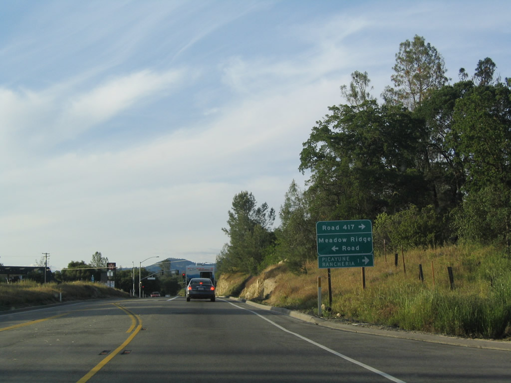
Skipping ahead, California 41 approaches Meadow Ridge Road and Road 417 (Picayune Road).
05/13/05
California 41 enters the unincorporated community of Coarsegold (el. 2,218 feet). The community had a population of 9,391 as of the 2000 Census and is perhaps best known for its role in the 1849 Gold Rush and Coarsegold Tarantula Festival.
05/13/05
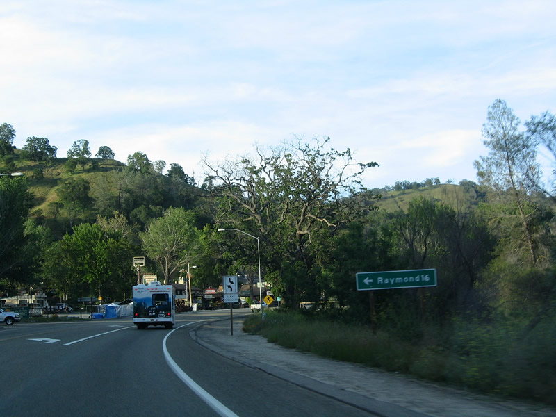
Northbound California 41 meets Road 415 (Raymond Road), which travels west to Raymond.
05/13/05
A California 41 north reassurance shield is posted after the Road 415 intersection.
05/13/05
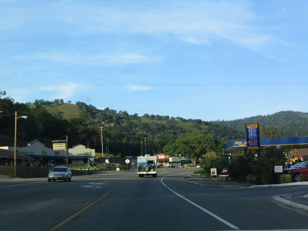
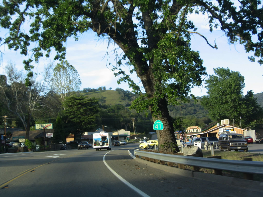
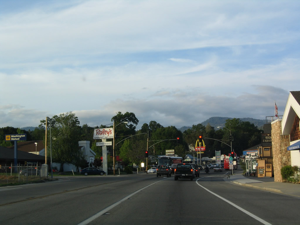
Passing through downtown Coarsegold, most motorist services (food, gas, shopping) are available.
05/13/05
Leaving downtown Coarsegold, another California 41 north reassurance shield is posted.
05/13/05
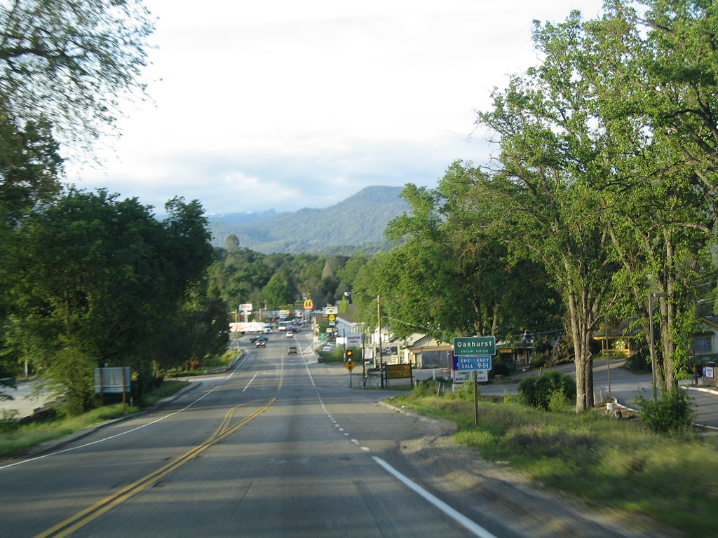
California 41 enters the unincorporated community ofOakhurst(el. 2,274 feet). The community had a population of 2,868 as of the 2000 Census and is located at the southern end of California 49, the Gold Country (Mother Lode) Highway.
05/13/05
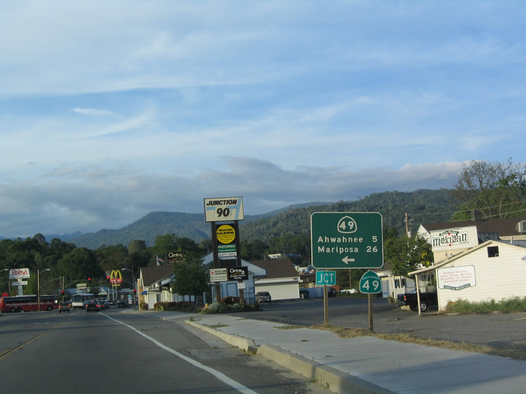
The next signalized intersection along California 41 north is with California 49 northwest to Ahwahnee (six miles) and Mariposa (26 miles), where the highway meets California 140. A large shopping center is located at the southwestern corner of this intersection.
05/13/05
California 49 travels through the foothills of the Sierra Nevada from Oakhurst northwest to Mariposa, Coulterville, Sonora, Angels Camp, Jackson, San Andreas, Placerville, and Auburn. Each of these communities have their connection with the Gold Rush of 1848-1849, and California 49 links them all together.
05/13/05
A California 41 reassurance shield is posted at the intersection with California 49. California 41 continues north into the southern entrance to Yosemite National Park.
05/13/05
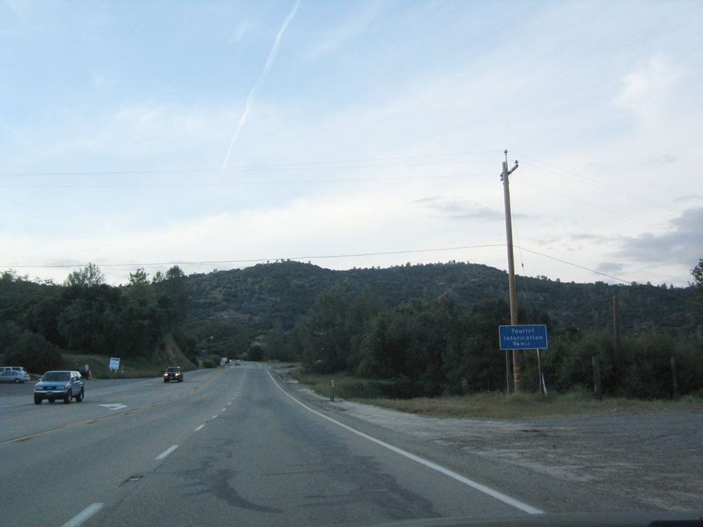
Leaving Oakhurst, northbound California 41 approaches a tourist information center. It is worth stopping here to learn about attractions along the state route leading through Sierra National Forest into Yosemite National Park.
05/13/05
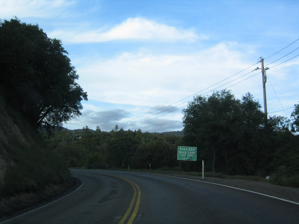
Northbound California 41 approaches Road 222 / Bass Lake Road east to Bass Lake in Sierra National Forest.
05/13/05
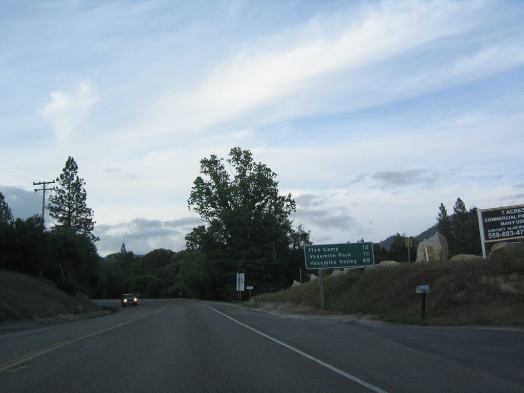
This mileage sign provides the distance to Fish Camp (12 miles), Yosemite National Park southern entrance (13 miles), and Yosemite Valley (45 miles).
05/13/05
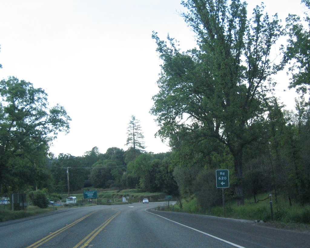
Northbound California 41 approaches Road 620 / Bassett Station Road west.
05/13/05
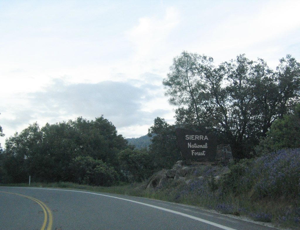
California 41 enters Sierra National Forest.
05/13/05
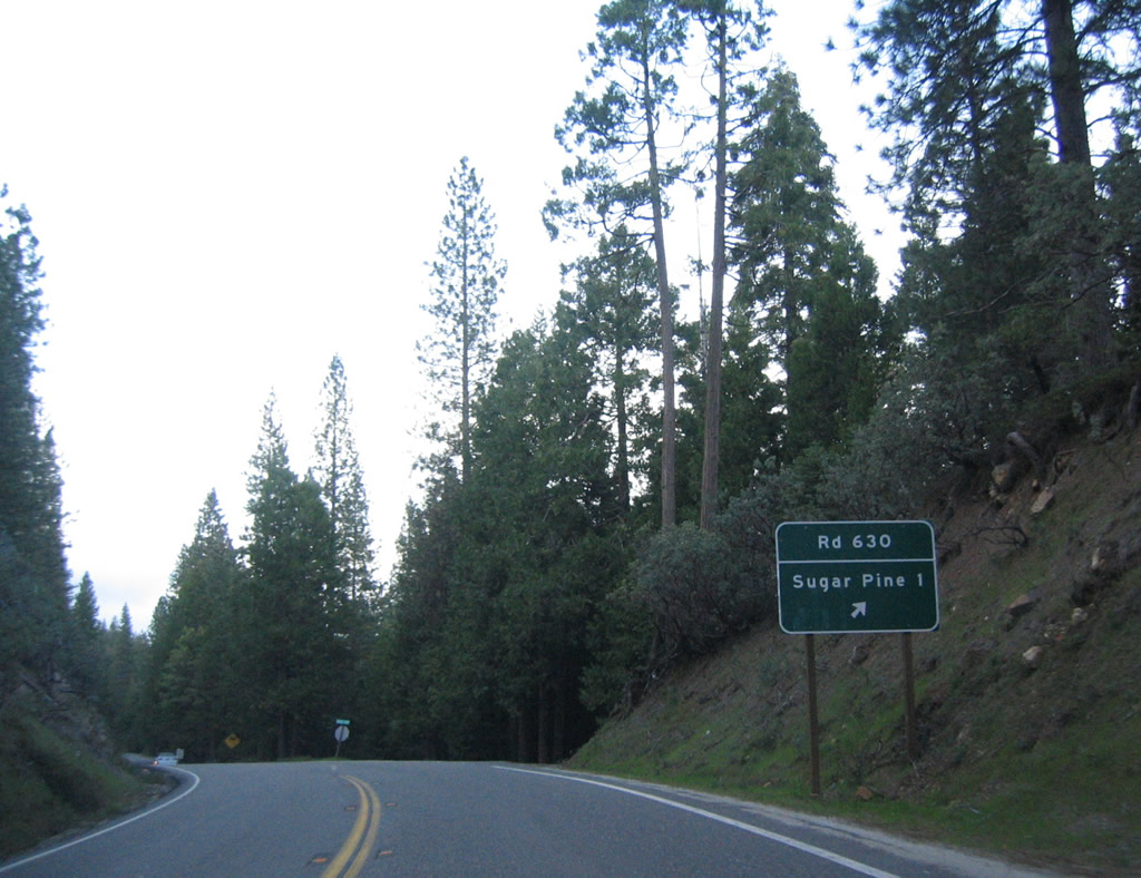
Northbound California 41 approaches Road 630 northeast to Sugar Pine (one mile).
05/13/05
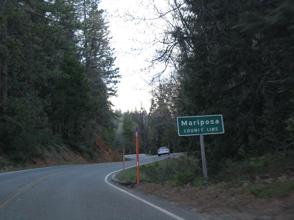
California 41 leaves Madera County and enters Mariposa County.
05/13/05
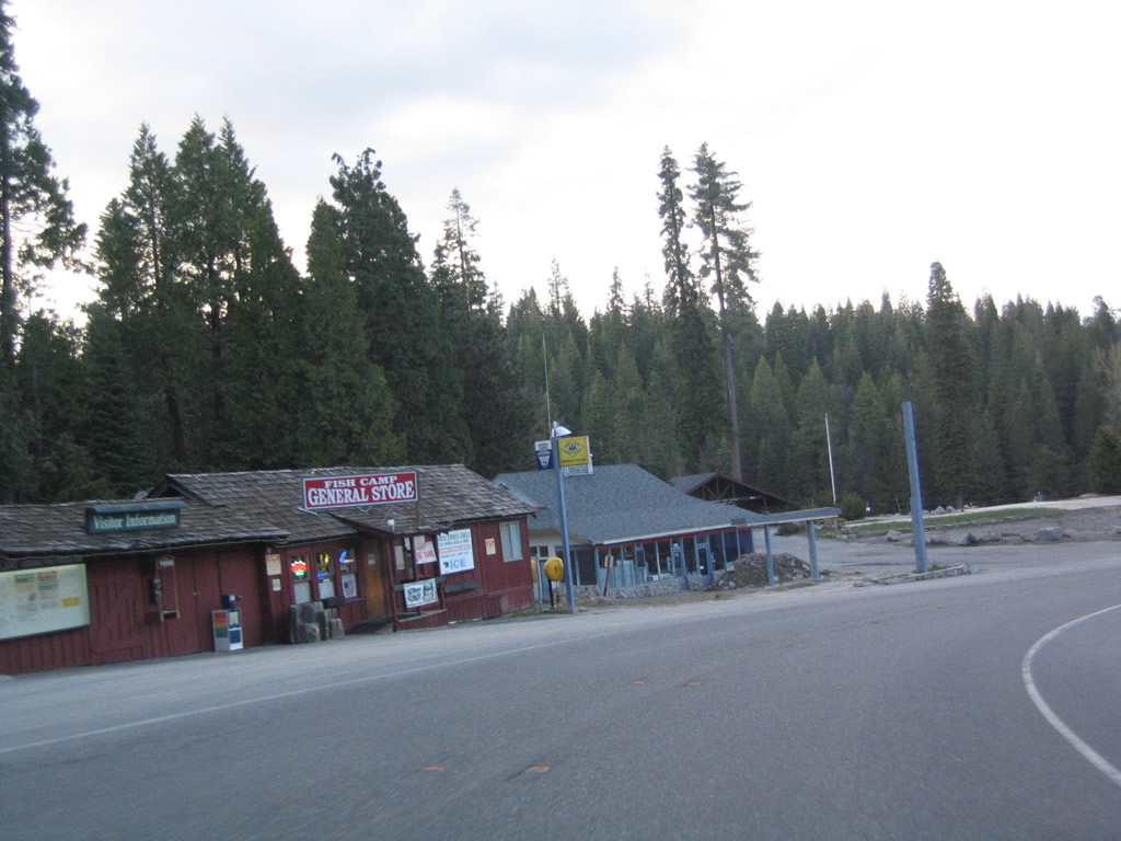
Northbound California 41 enters the unincorporated community of Fish Camp, elevation 5,062 feet.
05/13/05
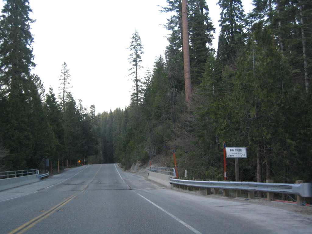
California 41 crosses over Big Creek.
05/13/05
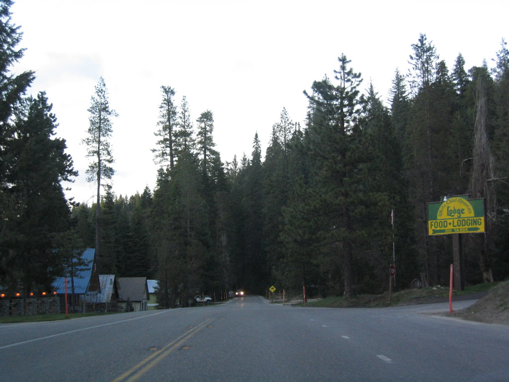
Northbound California 41 approaches the turnoff to White Chief Mountain Lodge. We are almost to the northern end of the state highway as we leave Fish Camp.
05/13/05
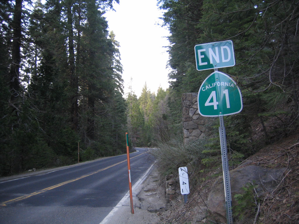
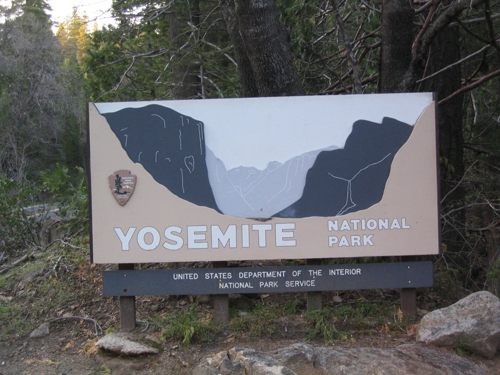
After leaving Fish Camp, California 41 reaches its northern end as it enters Yosemite National Park. An end shield is posted for California 41. However, the highway continues north as Wawona Road en route to Yosemite Valley. Caltrans maintenance ends and National Park Service maintenance begins.
05/13/05
California 41 changes into Wawona Road, which travels into Yosemite National Park from the south.
05/13/05
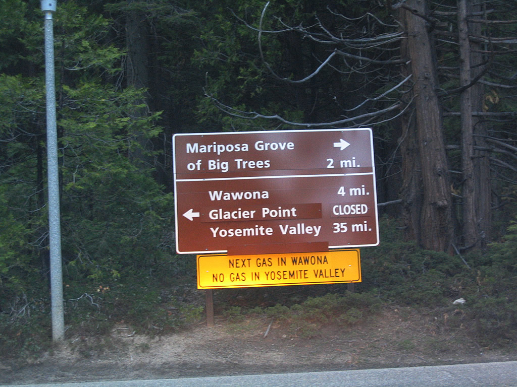
Wawona Road approaches Mariposa Grove Road. Turn right to the Mariposa Grove of Big Trees or left to follow Wawona Road north to Wawona and Yosemite Valley.
05/13/05
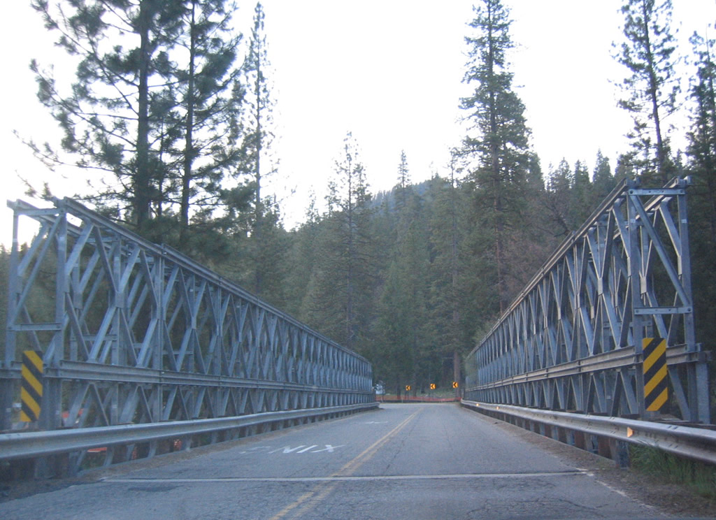
A bridge carries Wawona Road over a river.
05/13/05
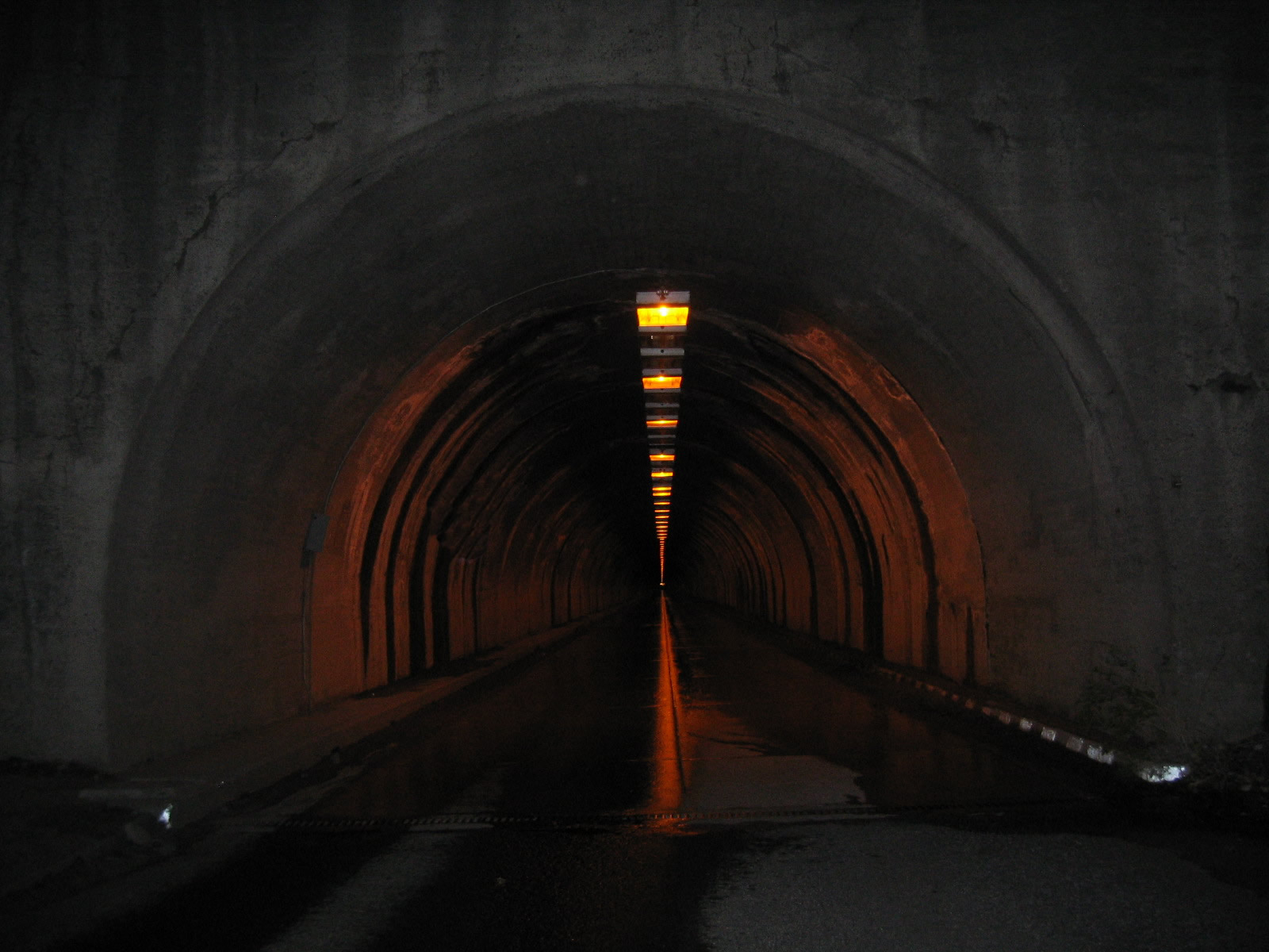
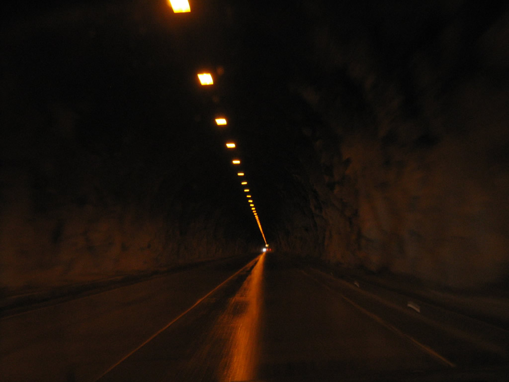
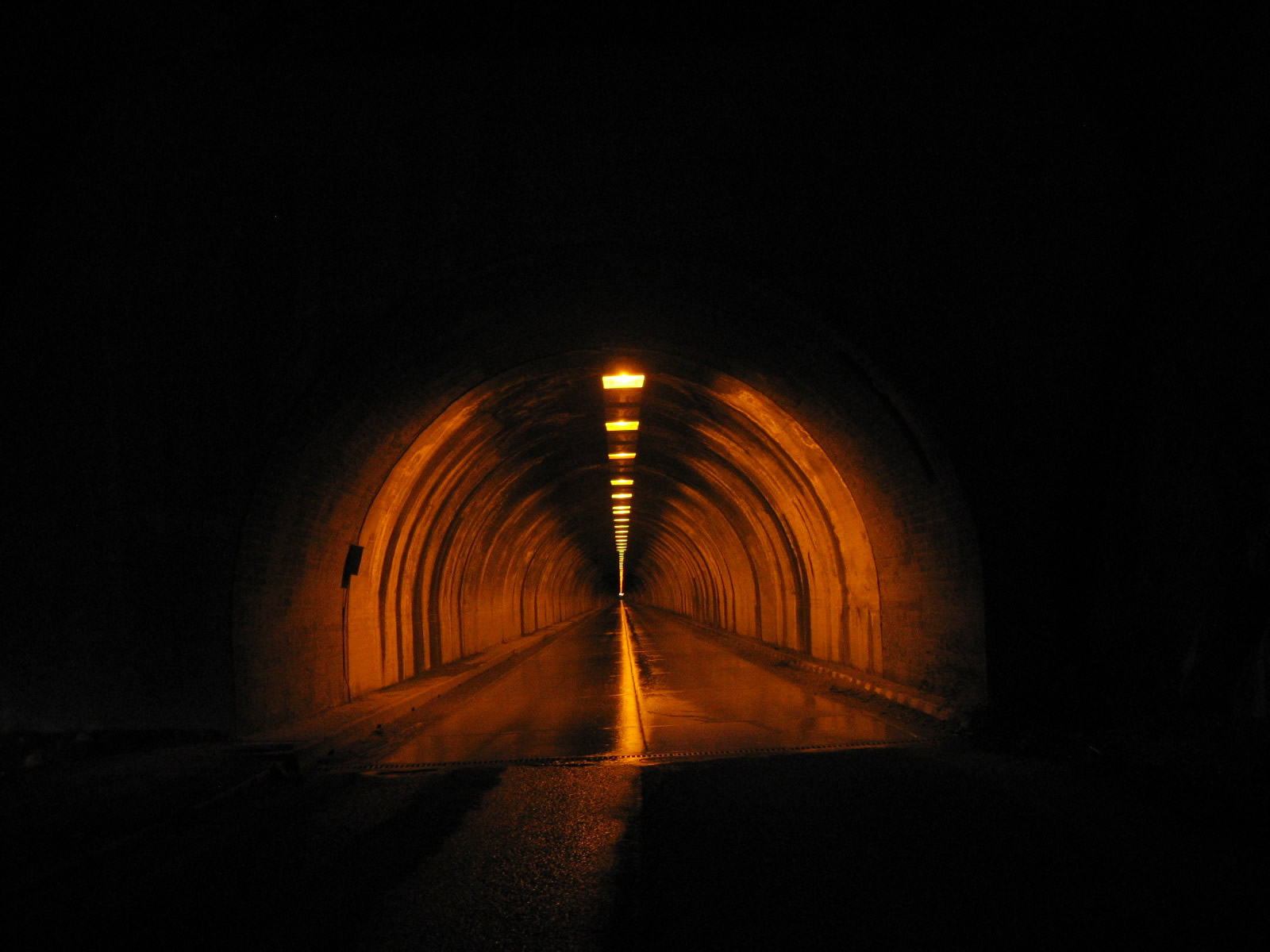
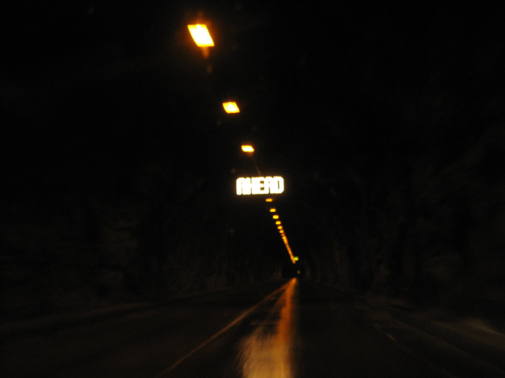
Later that evening, we approach the 4,233-foot Wawona Tunnel. This tunnel was built in 1932 and is the longest highway tunnel in California (as of 2009). Side shafts lead from the tunnel to sheer cliffs above Yosemite Valley, and these shafts serve as ventilation shafts.
05/13/05
Photo Credits:
- Andy Field: 05/13/05
Page Updated Wednesday November 30, 2011.