
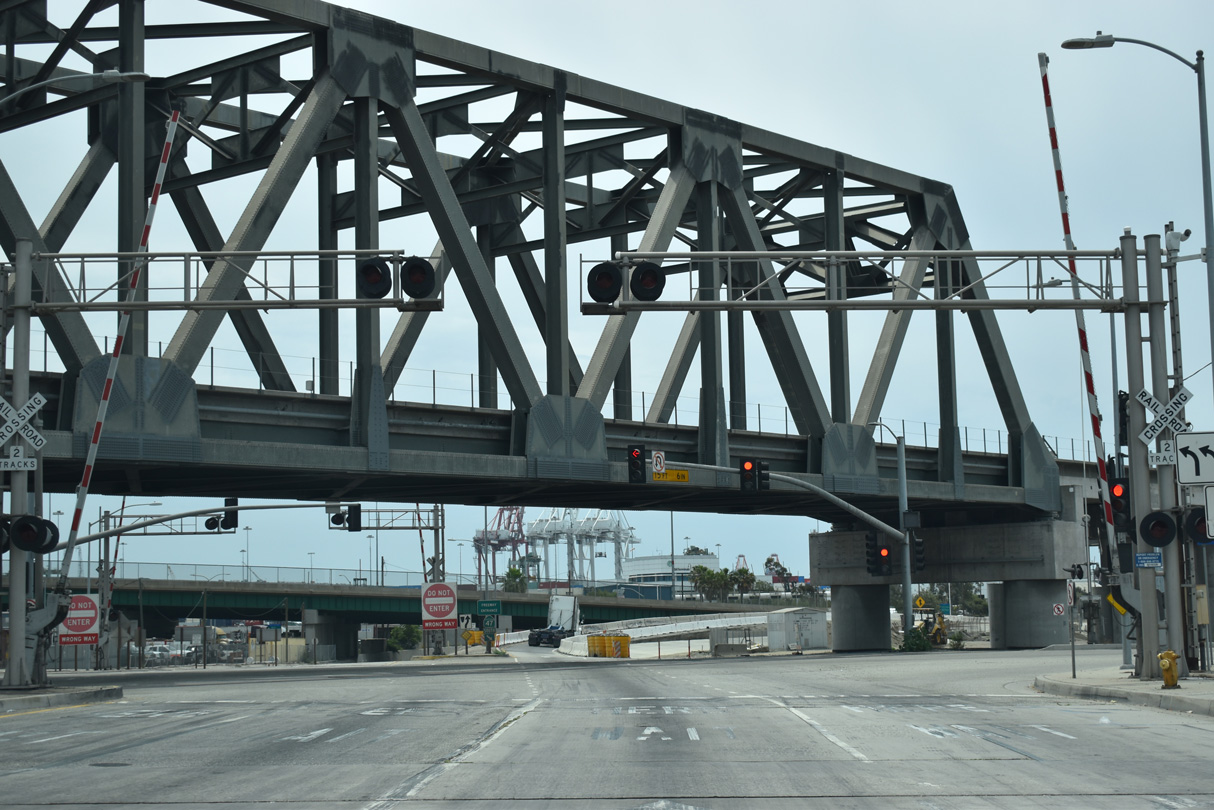
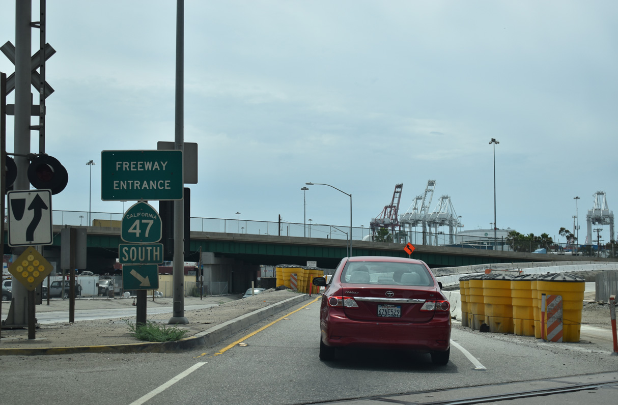
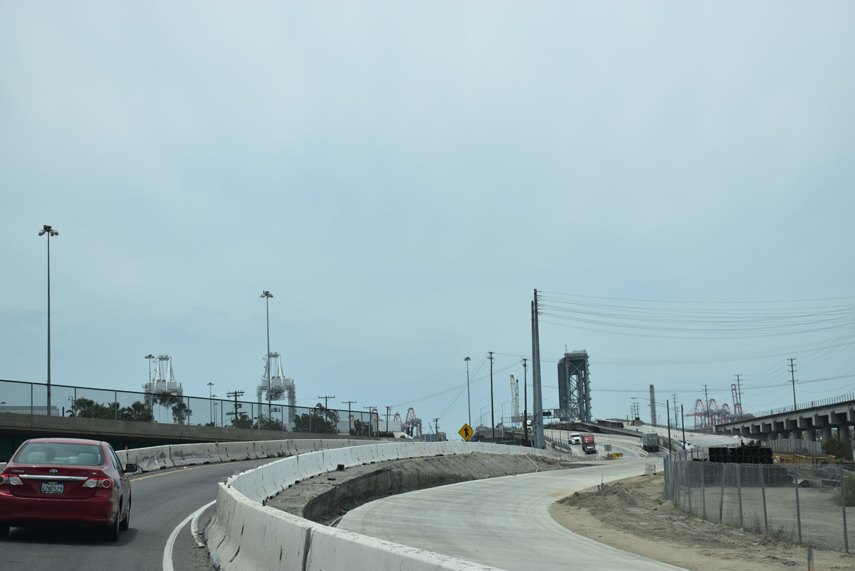
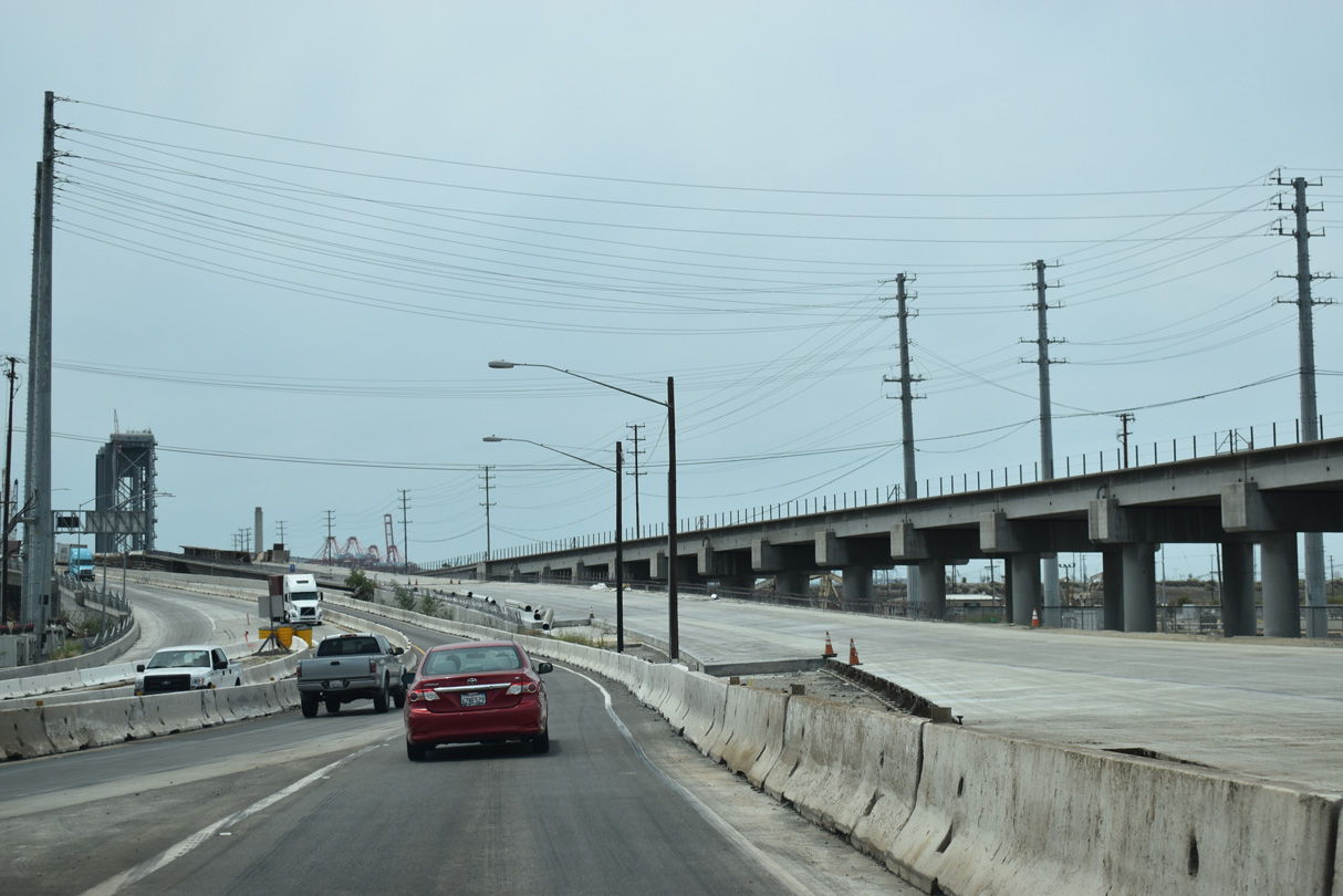
State Route 47 South

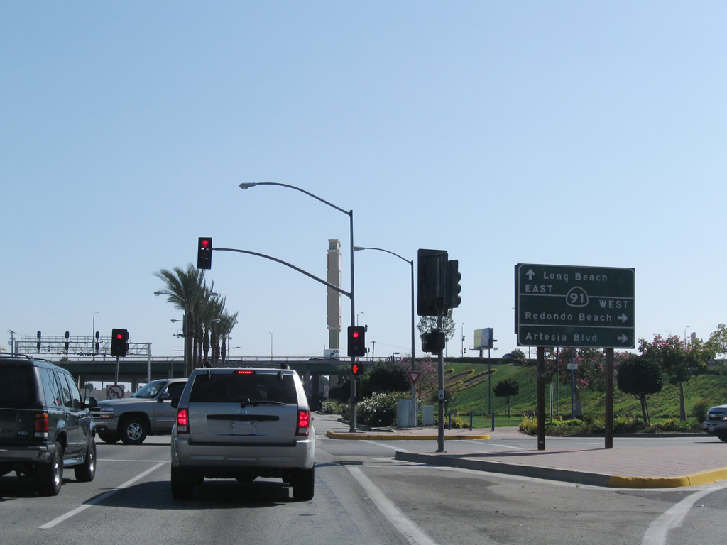
Alameda Street extends south from the city of Compton and the grade separated intersection with Artersia Boulevard as California State Route 47. Artersia Boulevar west to the entrance ramp at Acacia Avenue links Alameda Street with SR 91 (Gardena Freeway) west to Redondo Beach.
09/28/08
Passing under Artesia Boulevard, SR 47 (Alameda Street) advances south to the flyover ramp leading onto SR 91 eastbound to Anaheim and Riverside.
09/28/08
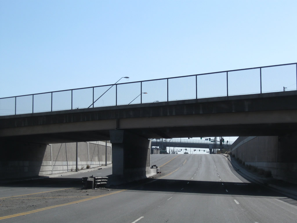
The bridge taking Alameda Street across Compton Creek includes old style bridge railing.
09/28/08
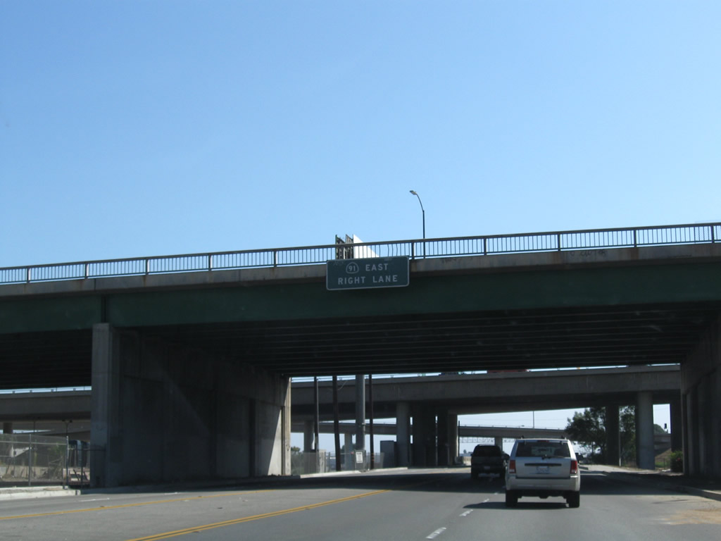
The entrance ramp to SR 91 loops away from Alameda Street and joins the Gardena Freeway ahead of Long Beach Boulevard and Interstate 710.
09/28/08
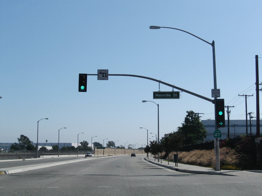
The first SR 47 south reassurance shield was posted at the signalized intersection with Manville Street. The sign was removed by 2025.
09/28/08
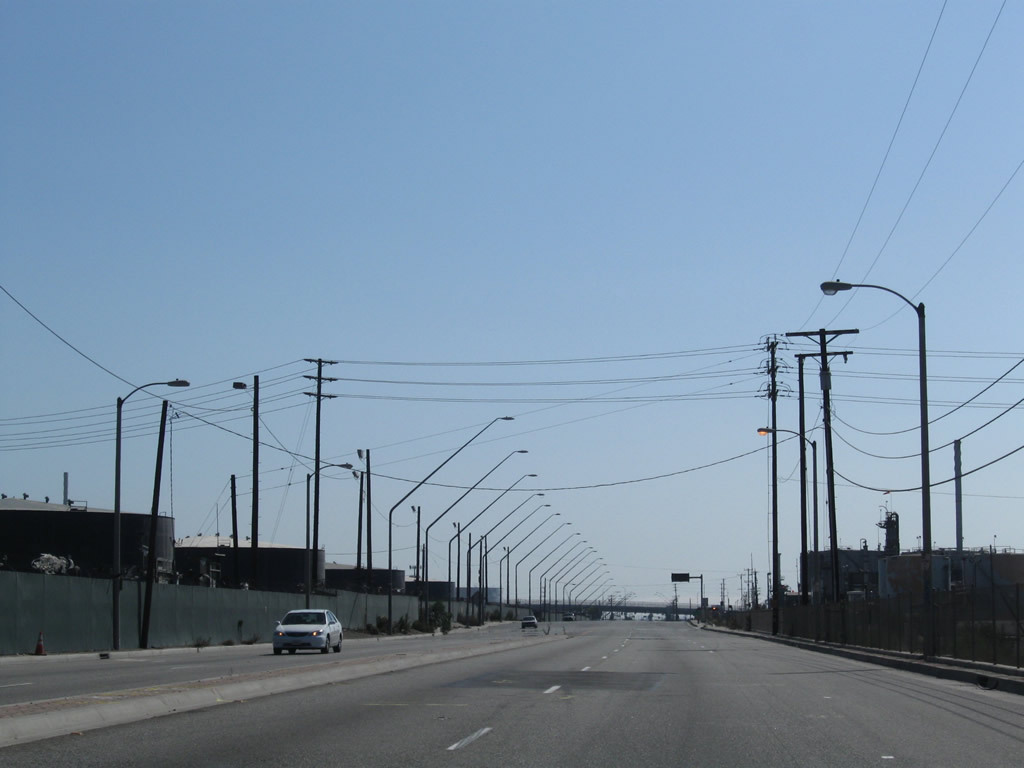
Heading south ahead of Homestead Place, Alameda Street leaves Compton and enters unincorporated Rancho Dominguez. The Mid-Corridor Trench runs along the east side of Alameda Street.
09/28/08
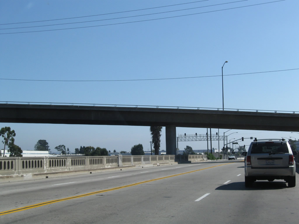
SR 47 (Alameda Street) diverges from parallel Compton Creek below the Metro Blue Line, a light rail line between Downtown Los Angeles and Long Beach north of the convention center.
09/28/08
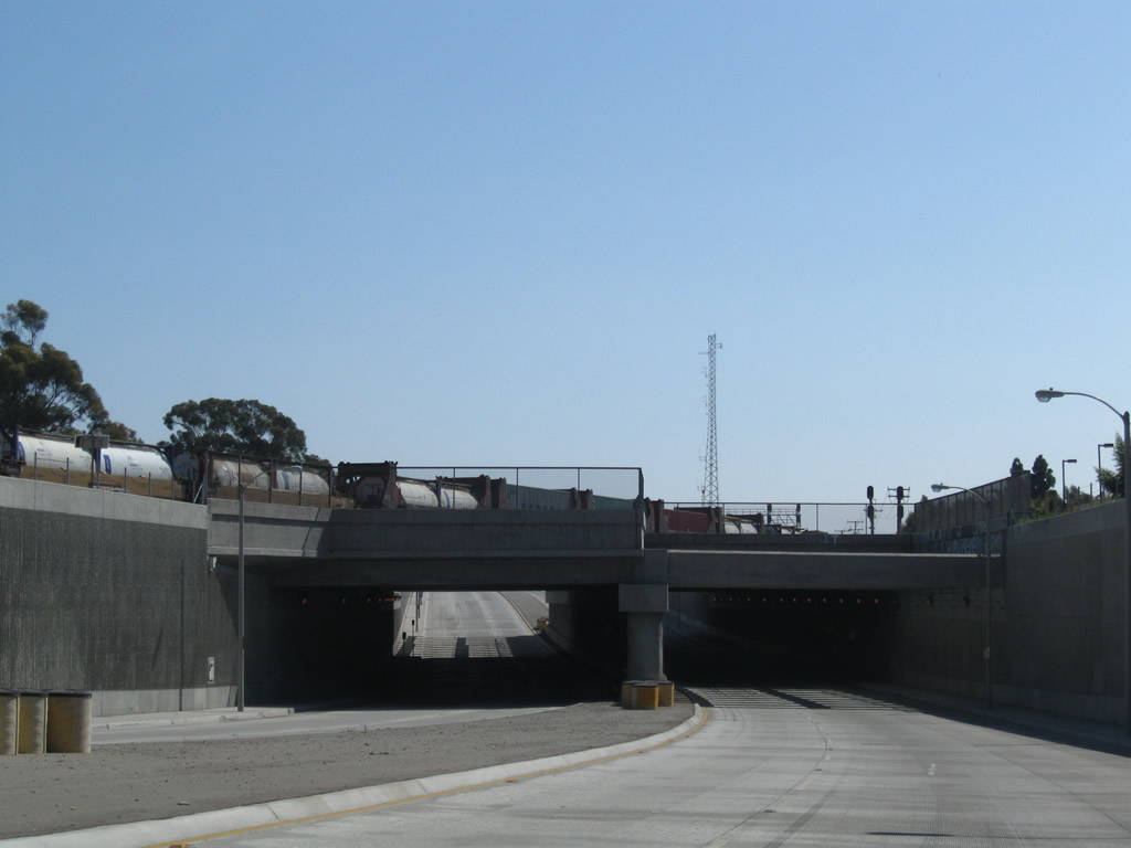
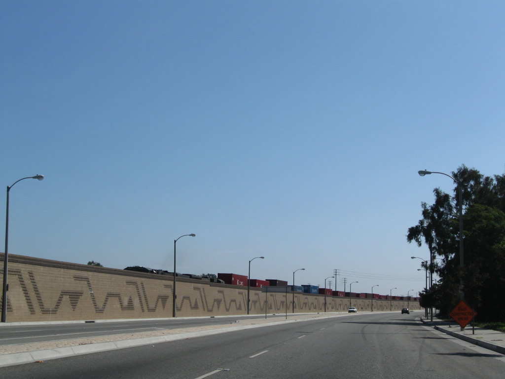
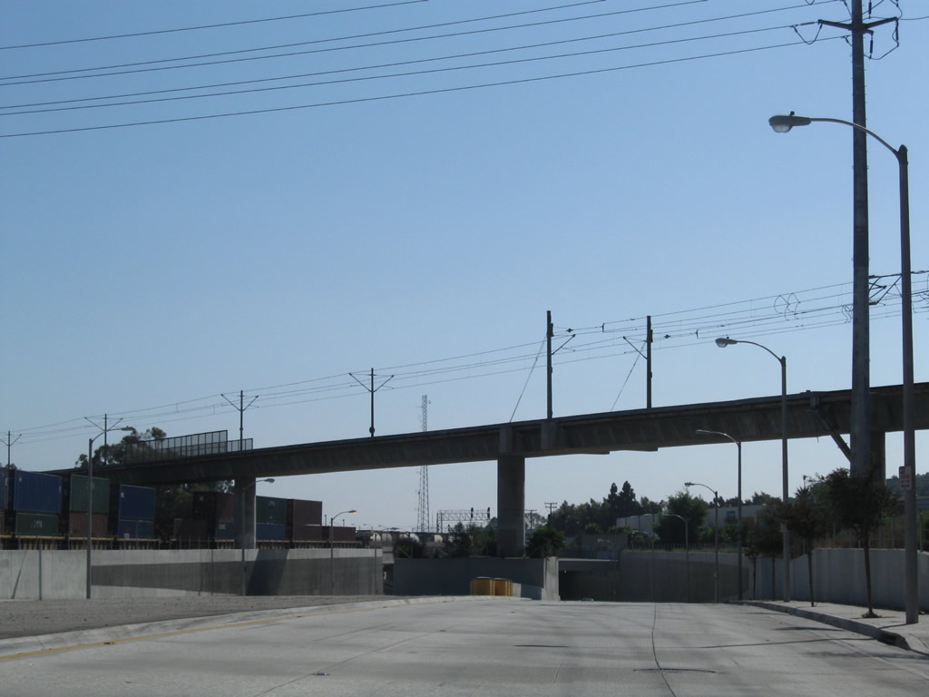
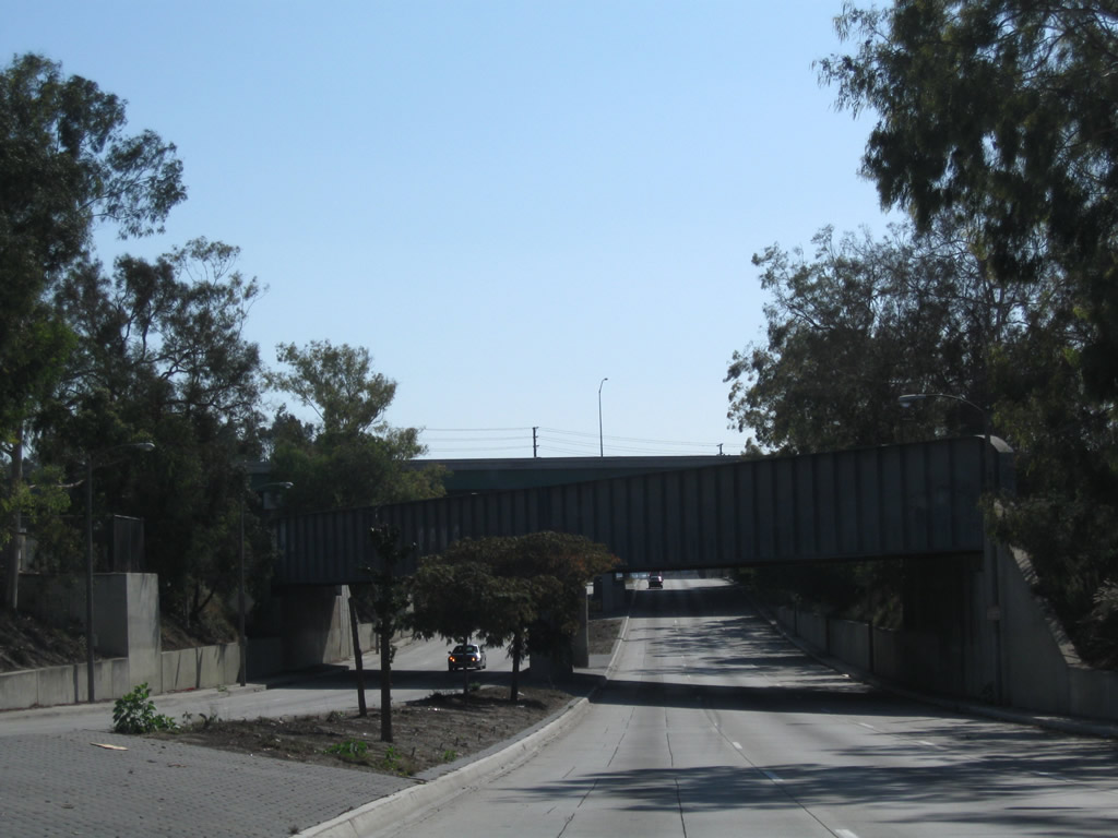
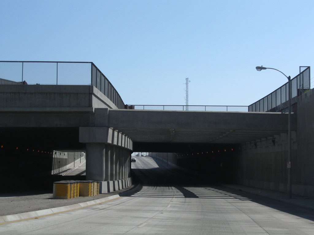
Beyond the Blue Line, SR 47 drops below grade to pass under the Alameda Corridor railway, which carries four mainline Union Pacific Railroad tracks.
09/28/08
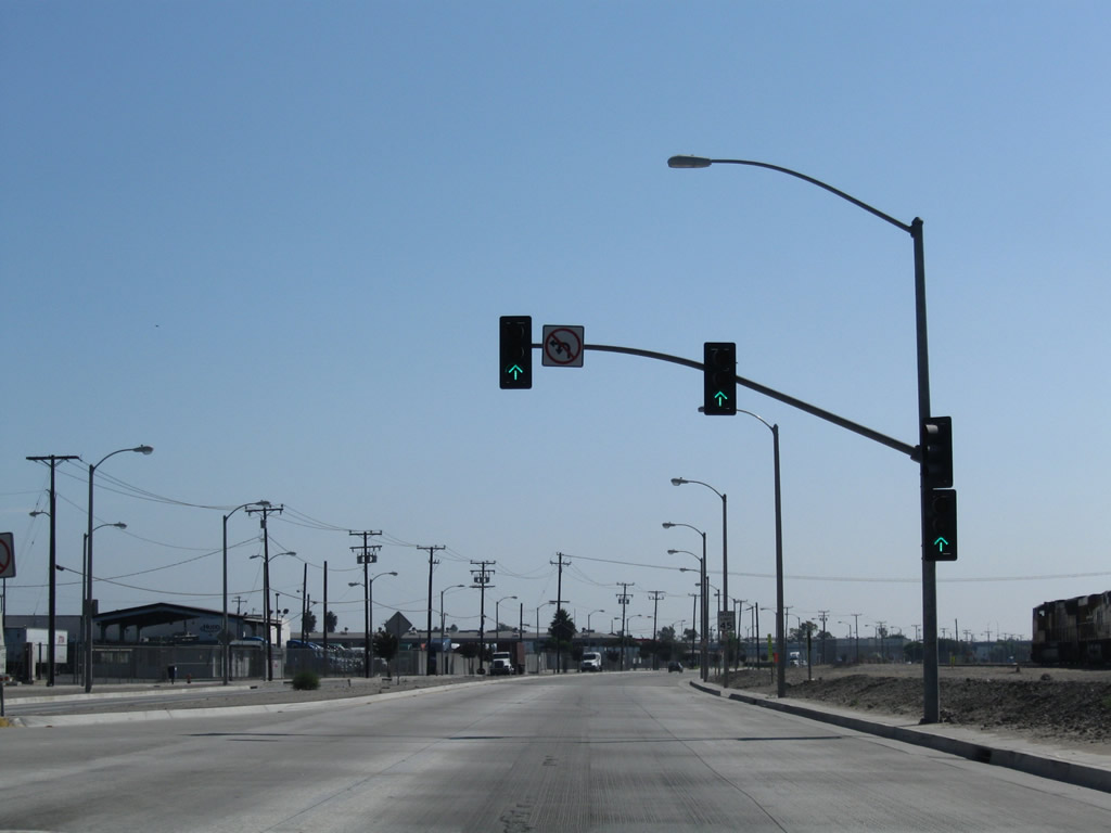
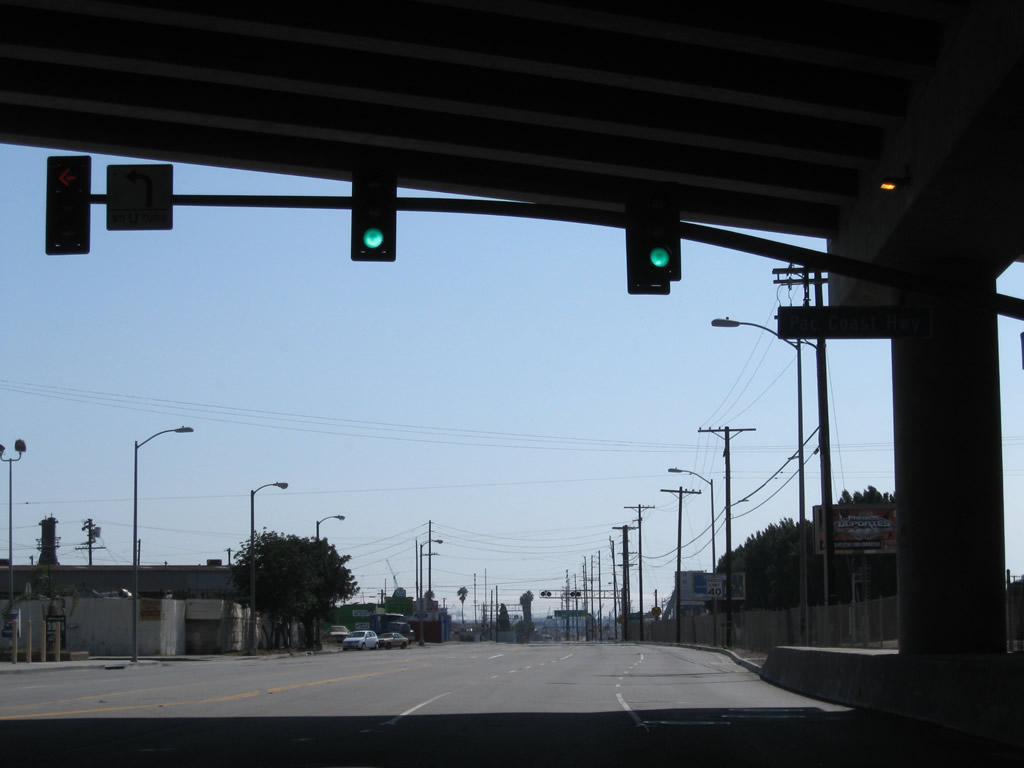
The northern section of Santa Fe Avenue converges with Alameda Street at this traffic signal. No turns are permitted here from southbound Alameda Street.
09/28/08
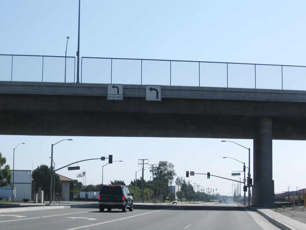
Passing below the viaduct along Del Amo Boulevard, SR 47 (Alameda Street) south enters the city of Carson ("Future Unlimited," population 89,730 as of the 2000 Census, and incorporated on February 20, 1968).
09/28/08
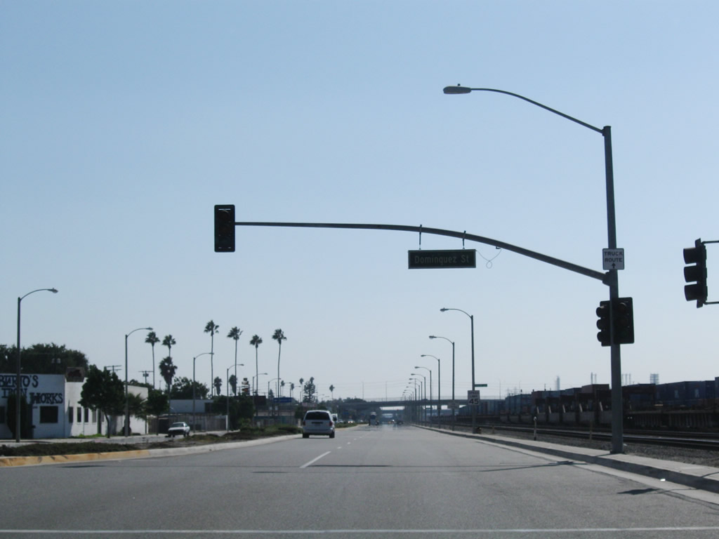
Southbound SR 47 (Alameda Street) intersects Dominguez Street east at the Dominguez neighborhood.
09/28/08
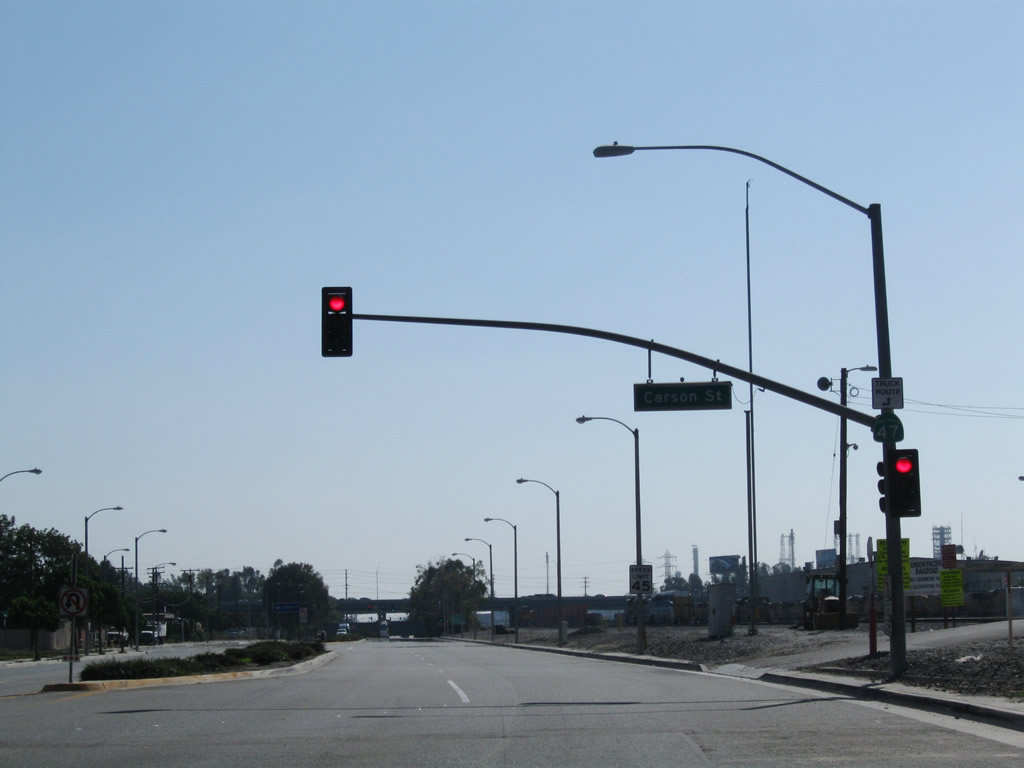
A grade separated intersection joins SR 47 (Alameda Street) with Carson Street between the Dominguez and Lincoln Village neighborhoods.
09/28/08
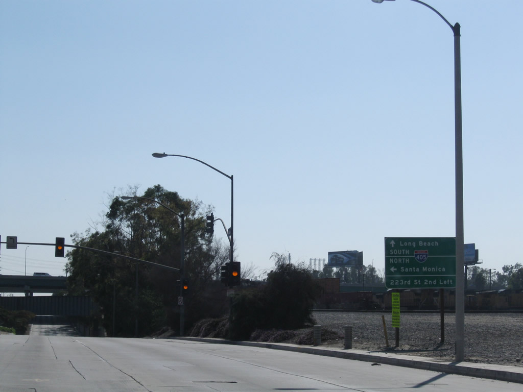
Ramps along I-405 (San Diego Freeway) northbound directly connect with SR 47 (Alameda Street) south of 218th Place. Interstate 405 travels north to Los Angeles International Airport (LAX) and Santa Monica.
09/28/08
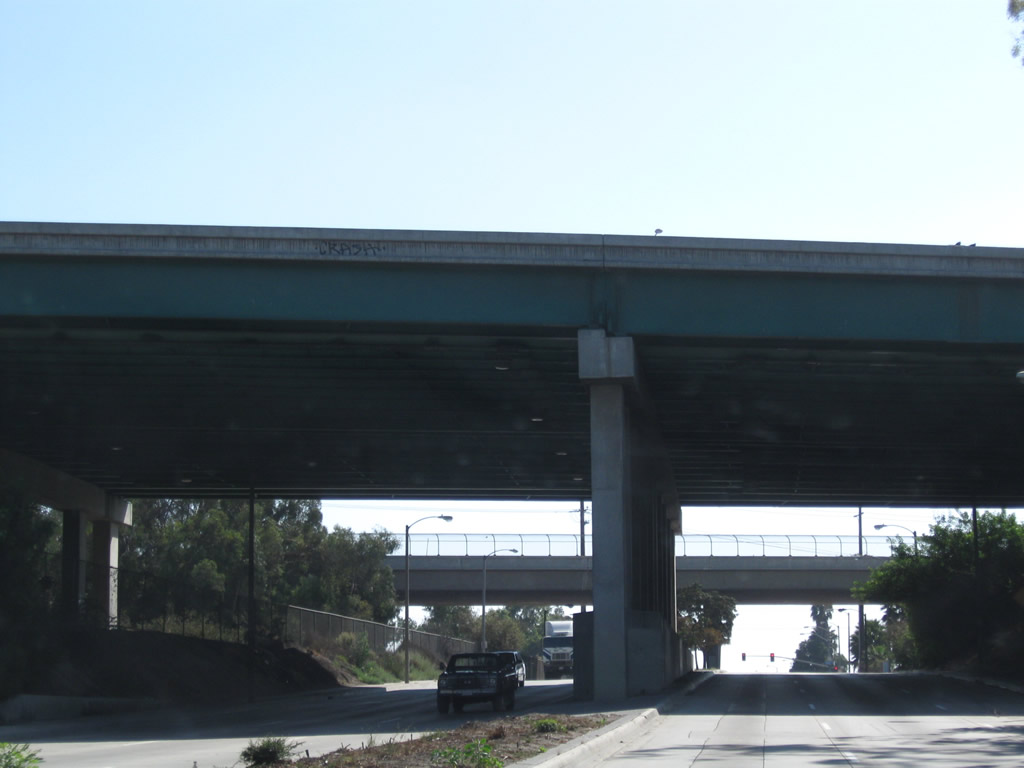
A railroad overpass and Interstate 405 span a below grade section of Alameda Street south ahead of 223rd Street.
09/28/08
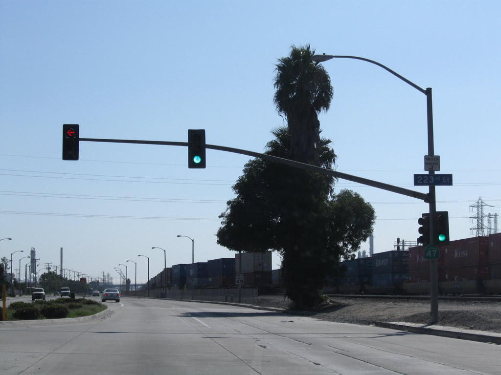
An access road links SR 47 with the 223rd Street between the viaduct over Alameda Street and the southbound entrance ramp to Interstate 405..
09/28/08
The next major intersection along SR 47 (Alameda Street) south is with the access road to Sepulveda Boulevard. Sepulveda Boulevard joins Carson with Torrance and Willow Street east into Long Beach.
09/28/08
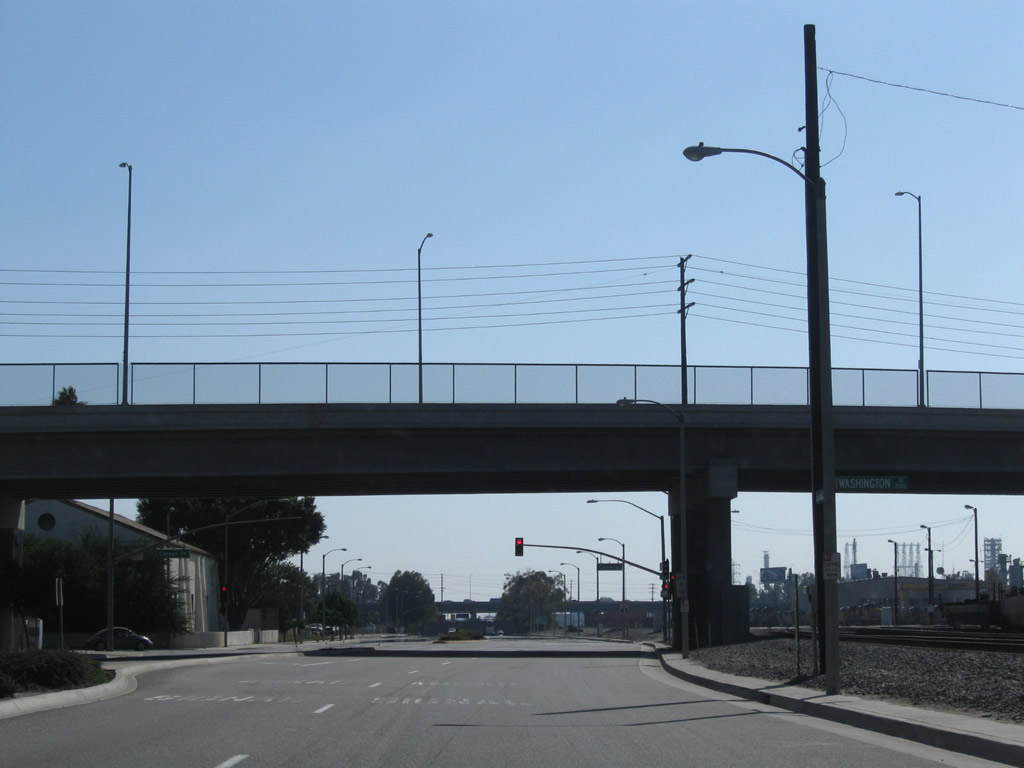
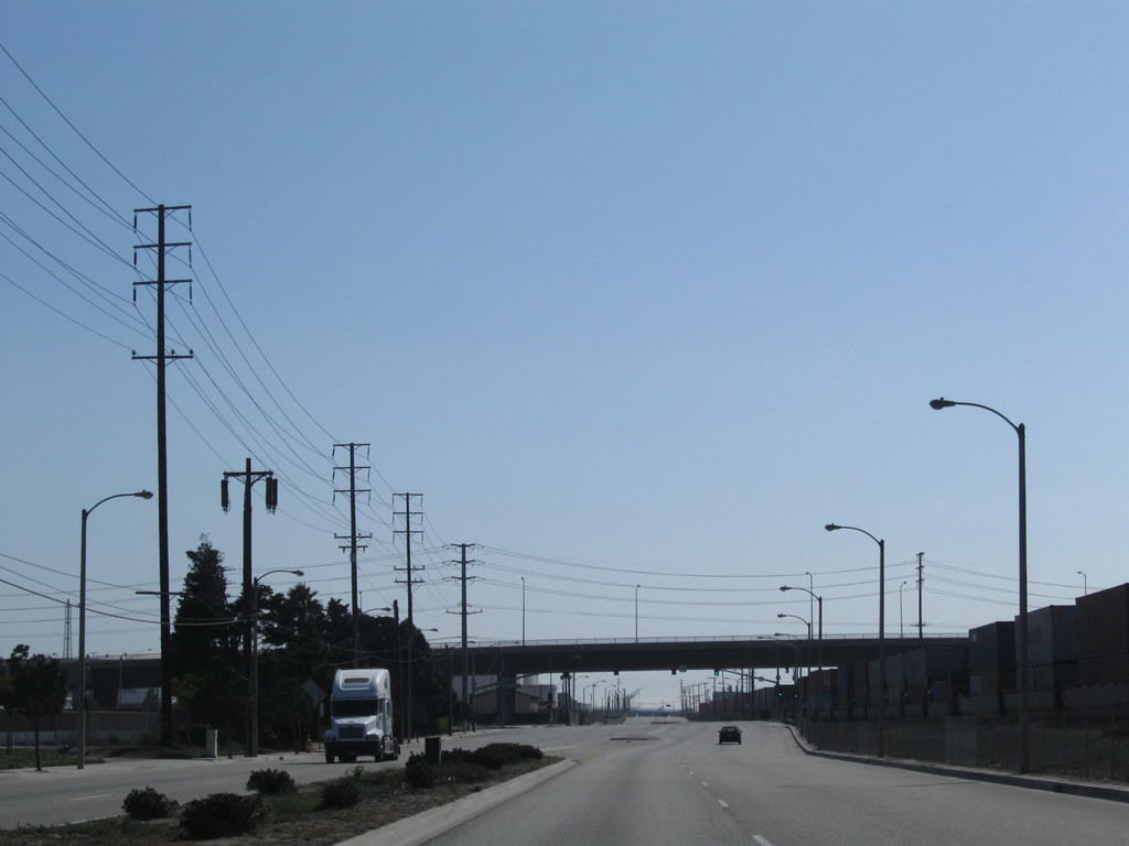
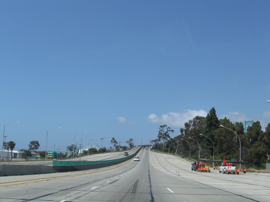
State Route 47 leaves Carson and enters the city of Los Angeles midway between Sepulveda Boulevard and Pacific Coast Highway, around the point where the street light standards change and the LADWP power lines cross over Alameda Street.
09/28/08
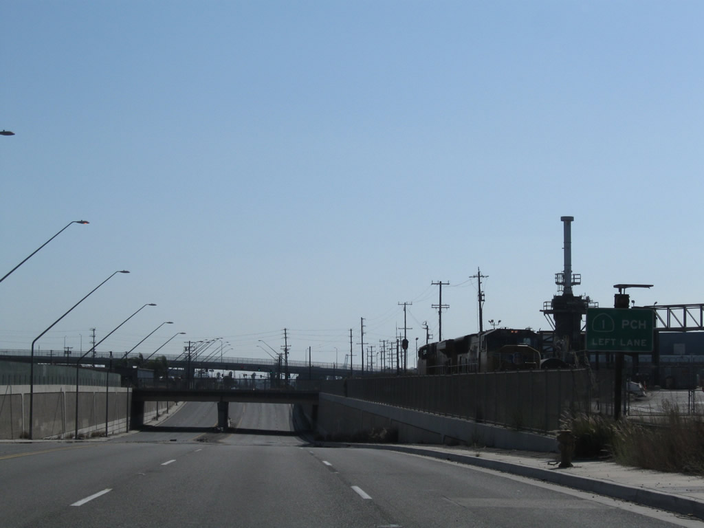
SR 47 passes under another railroad overcrossing ahead of the O Street connector to SR 1 (Pacific Coast Highway).
09/28/08
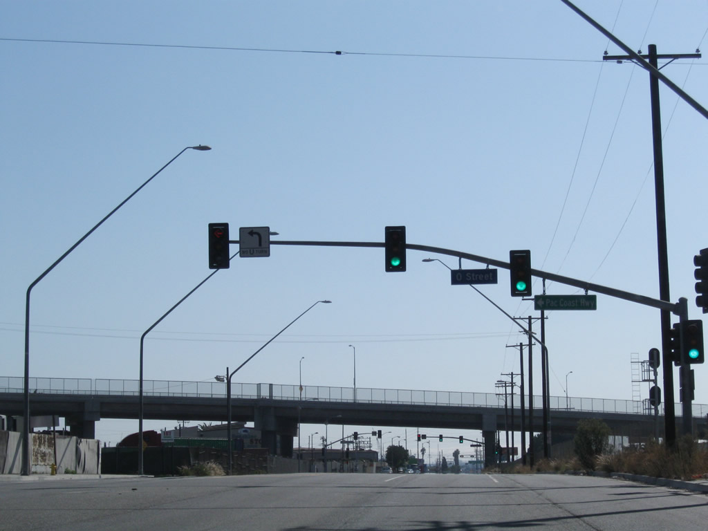
The viaduct taking SR 1 (Pacific Coast Highway) across Alameda Street and the Alameda Corridor was completed by 2004. A service road (Pacific Coast Highway) ties into SR 47 below the elevated roadway.
09/28/08
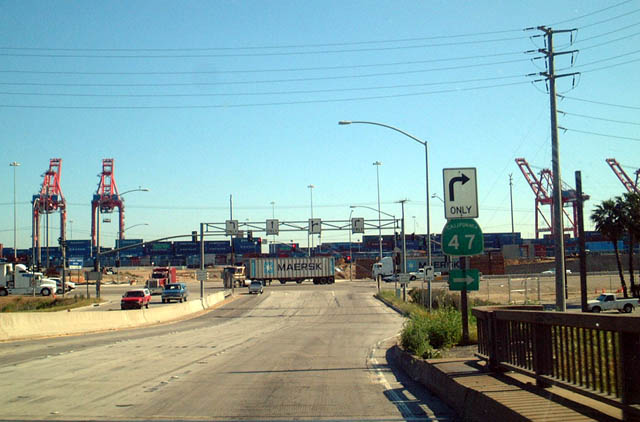
SR 47 shifts southeast onto Henry Ford Avenue from Alameda Street. Alameda Street continues southwest and becomes Harry Bridges Boulevard west to Interstate 110. Henry Ford Avenue was meant to be a temporary alignment for SR 47 until the Port Access Expressway segment is built.
09/28/08
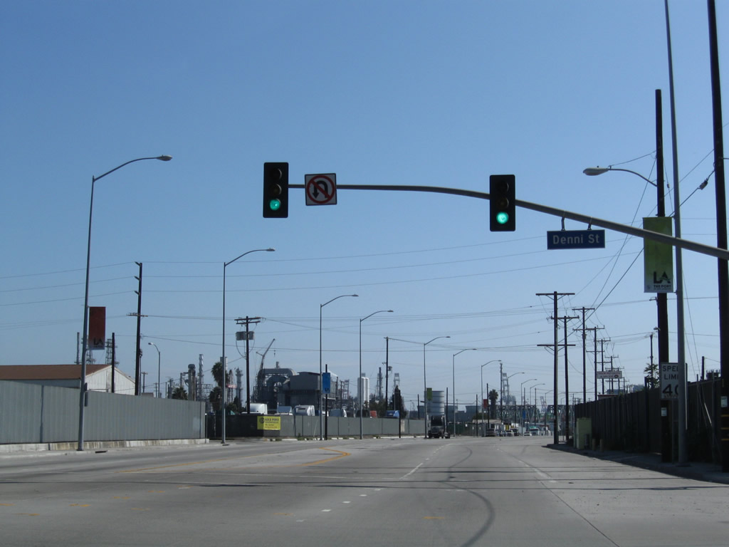
Henry Ford Avenue intersects Denni Street just after SR 47 separates from Alameda Street.
09/28/08
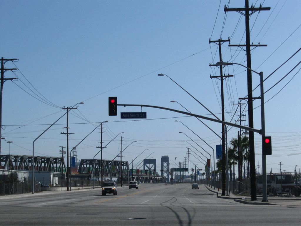
The former Commodore Schuyler F. Heim lift bridge and Henry Ford Railroad bridge appeared along SR 47 (Henry Ford Avenue) south ahead of Anaheim Street.
09/28/08
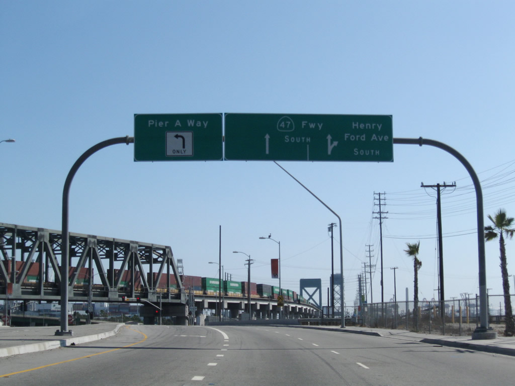
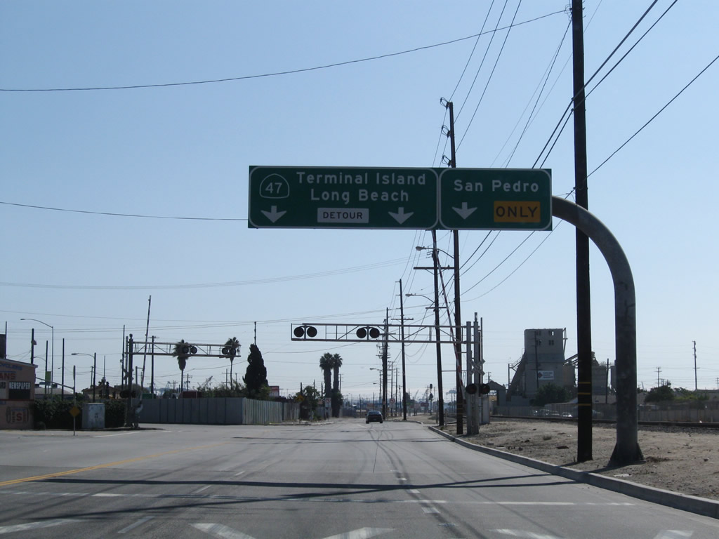
Henry Ford Avenue crosses Dominguez Channel ahead of Pier A Way and the entrance ramp taking SR 47 south into SR 103 (Terminal Island Freeway).
09/28/08
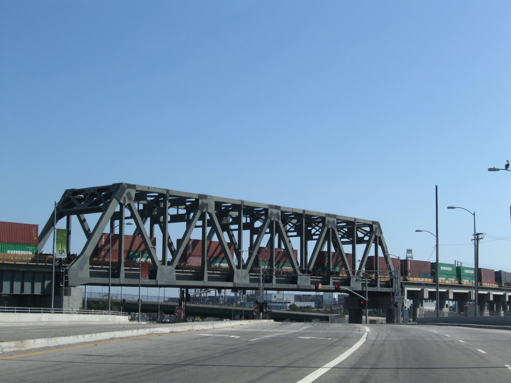
A large truss bridge takes the Alameda Corridor railroad line above both Dominguez Channel and the intersection joining Henry Ford Avenue with Pier A Way.
09/28/08
Henry Ford Avenue spurs south to Anchorage Road along the west side of the Alameda Corridor. Pier A Way leads east to the adjacent oil refinery complex and Port oF Long Beach Pier A.
07/09/18
South from Pier A Way, SR 47 combines with SR 103 (Terminal Island Freeway) at a wye interchange.
07/09/18
SR 47/103 (Terminal Island Freeway) overlap south to Terminal Island via the Commodore Schuyler F. Heim Bridge.
07/09/18
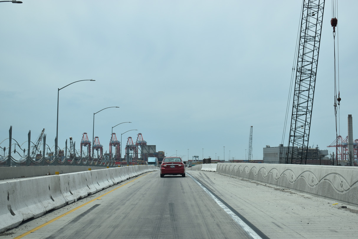
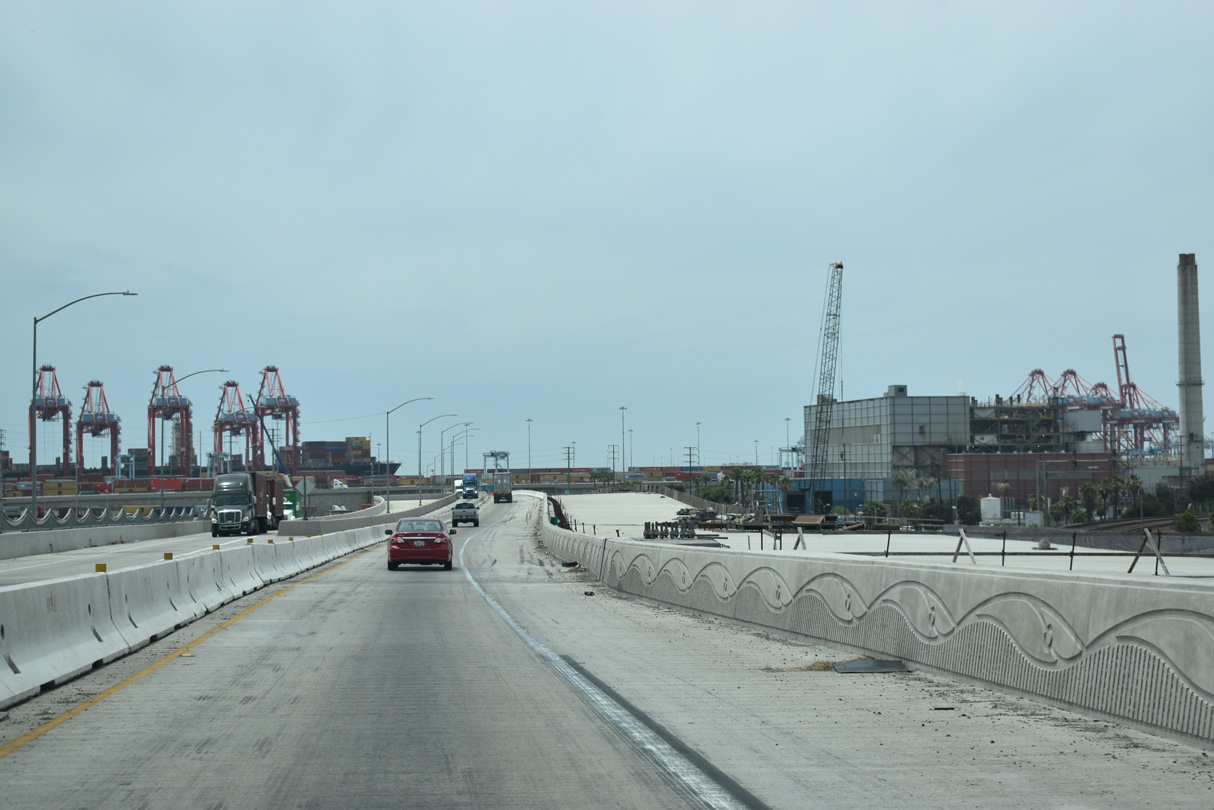
Construction upgrading the Terminal Island Freeway south from Henry Ford Avenue got underway by 2012 and continued to 2025.
07/09/18
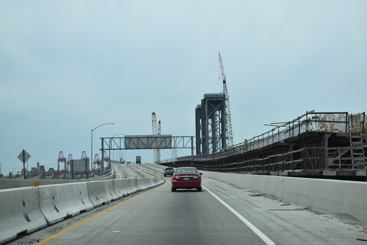
Legislatively, SR 103 ends where SR 47 overtakes the Terminal Island Freeway. The elevated roadway proceeds south across the Commodore Schuyler F. Heim Bridge into the city of Long Beach.
07/09/18
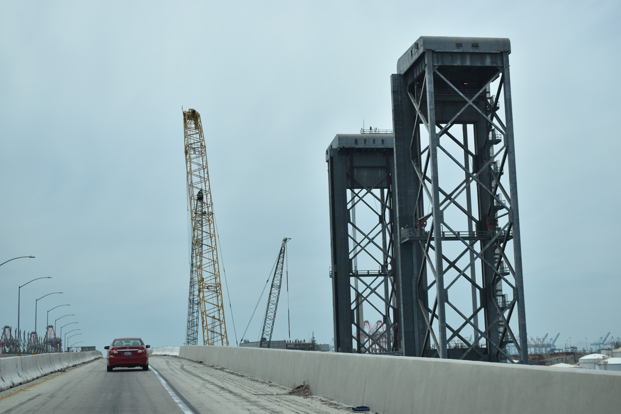
A lift bridge along the Alameda Corridor, the Henry Ford Bridge parallels the Commodore Schuyler F. Heim Bridge over Cerritos Channel.
07/09/18
The Alameda Corridor Transportation Authority Port Access Expressway project replaced what was a lift bridge along the Terminal Island Freeway with a fixed, concrete bridge. Having opened to traffic on January 10, 1948, te former Commodore Schuyler F. Heim Bridge was functionally deficient due to heavy truck wear and closures due to lift operations.
07/09/18
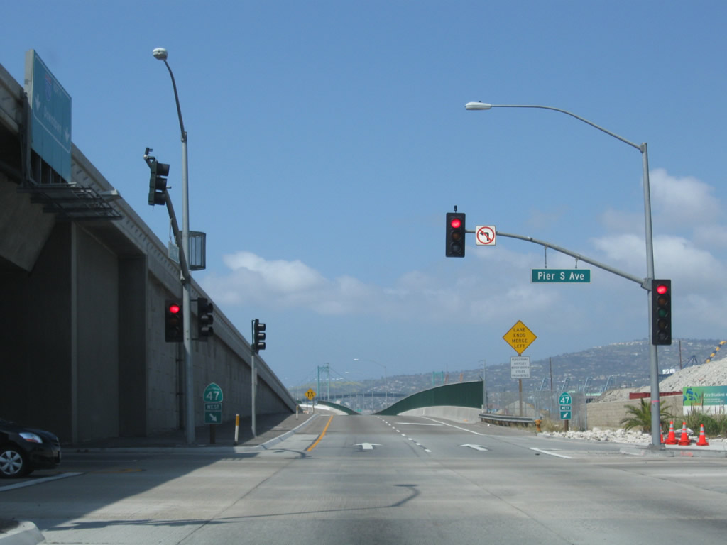
The Terminal Island Freeway remains elevated from the the Schuyler Heim Bridge through the half diamond interchange (Exit 4) with New Dock Street west to Pier S Avenue on Terminal Island.
07/09/18
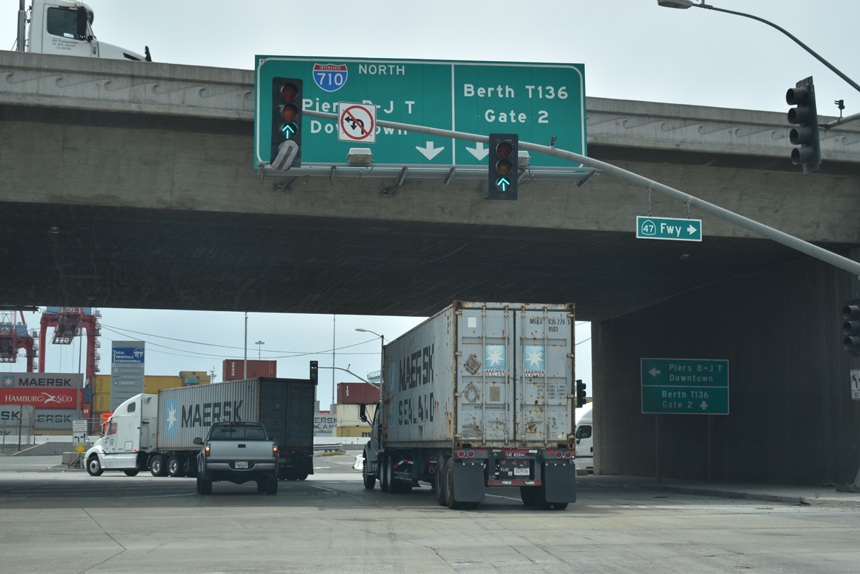
Completed in 2007, a split diamond interchange was constructed in place of the at-grade intersection where the Terminal Island Freeway meets I-710 and Ocean Boulevard. SR 47 turns west along the north service road ahead of Pier S Avenue north. I-710 begins east from Ocean Boulevard.
07/09/18
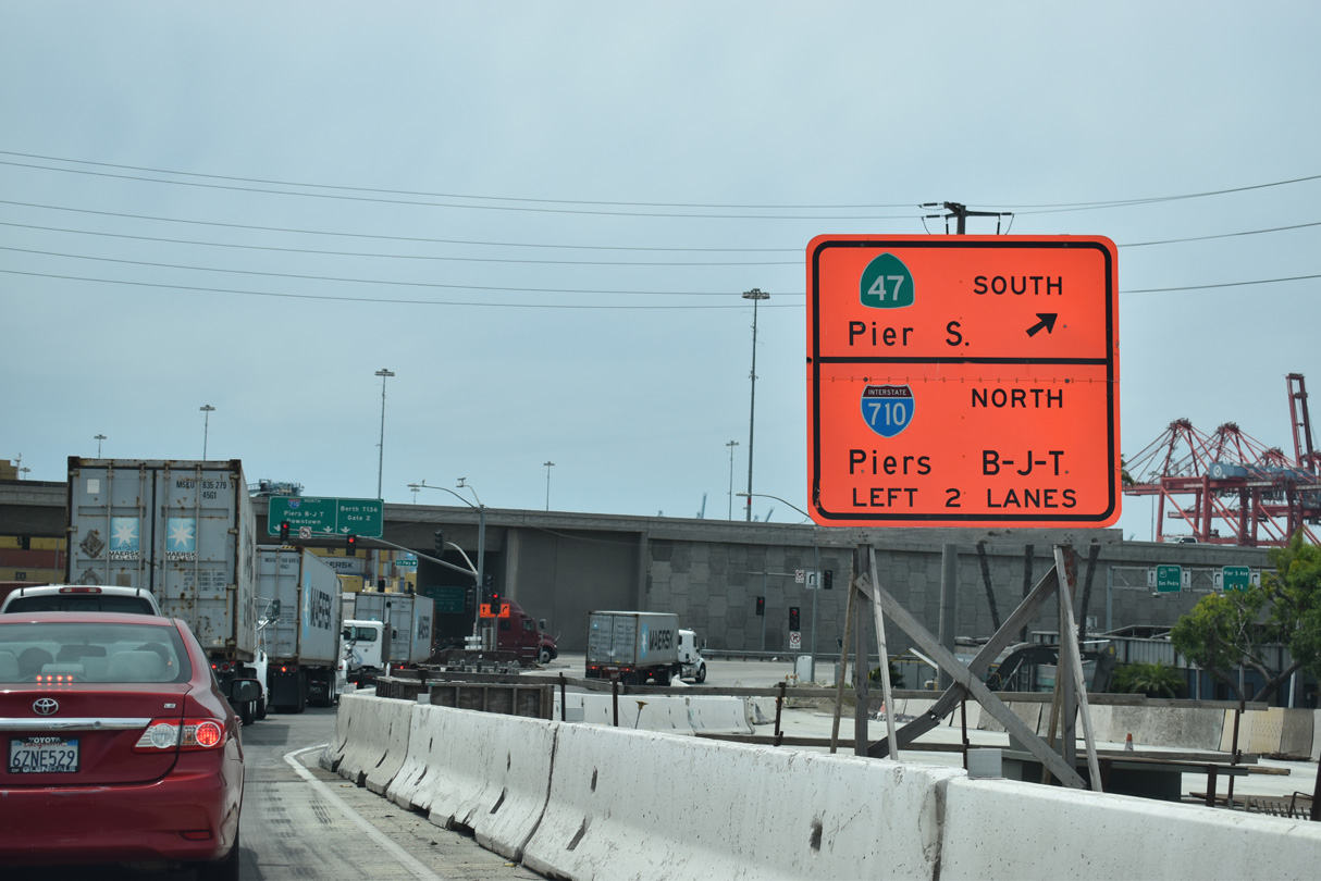
SR 103 ends at the south service road for Ocean Boulevard. The service road connects with both Pier T Avenue and Interstate 710 (Long Beach Freeway) northbound to Downtown Long Beach.
07/09/18
Interstate 710 ascends onto the Long Beach International Gateway east from the exchange with SR 47/103 (Terminal Island Freeway). The cable-stayed bridge replaced the Gerald Desmond Bridge. Photo take 07/09/18.
07/09/18
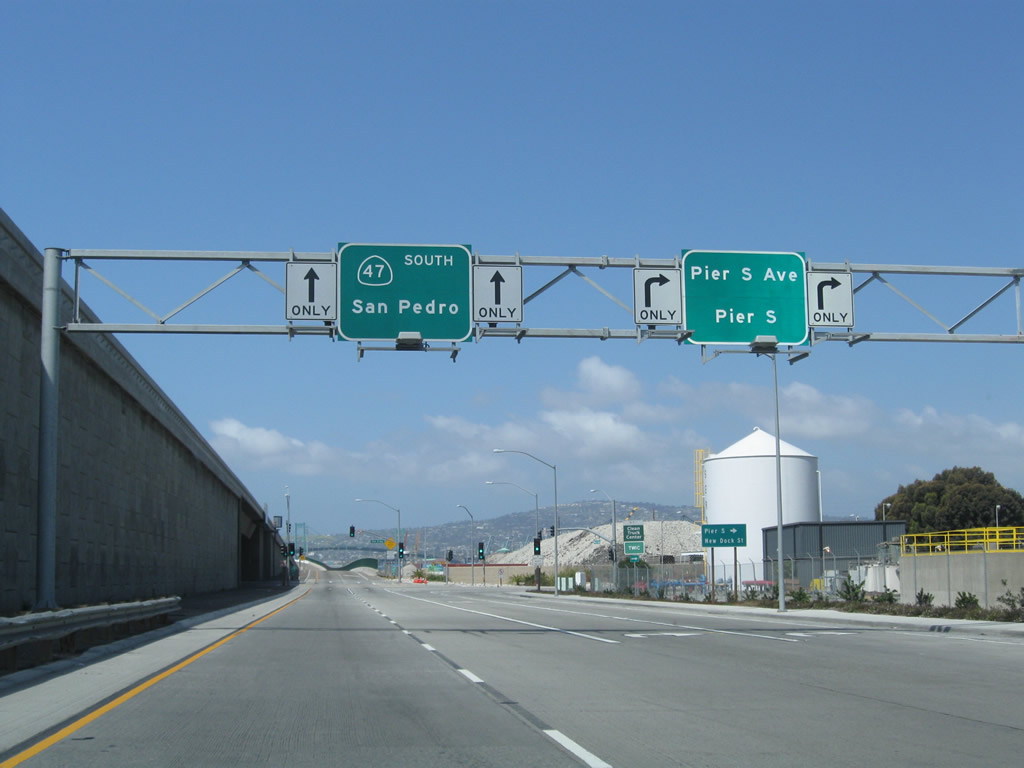
SR 47 westbound intersects Pier S Avenue north to New Dock Street adjacent to the elevated roadway connecting I-710 south with Ocean Boulevard west.
05/02/10
SR 47 overtakes Ocean Boulevard from the south end of Interstate 710. Ocean Boulevard changes into Seaside Avenue where SR 47 leaves Long Beach and reenters Los Angeles.
05/02/10
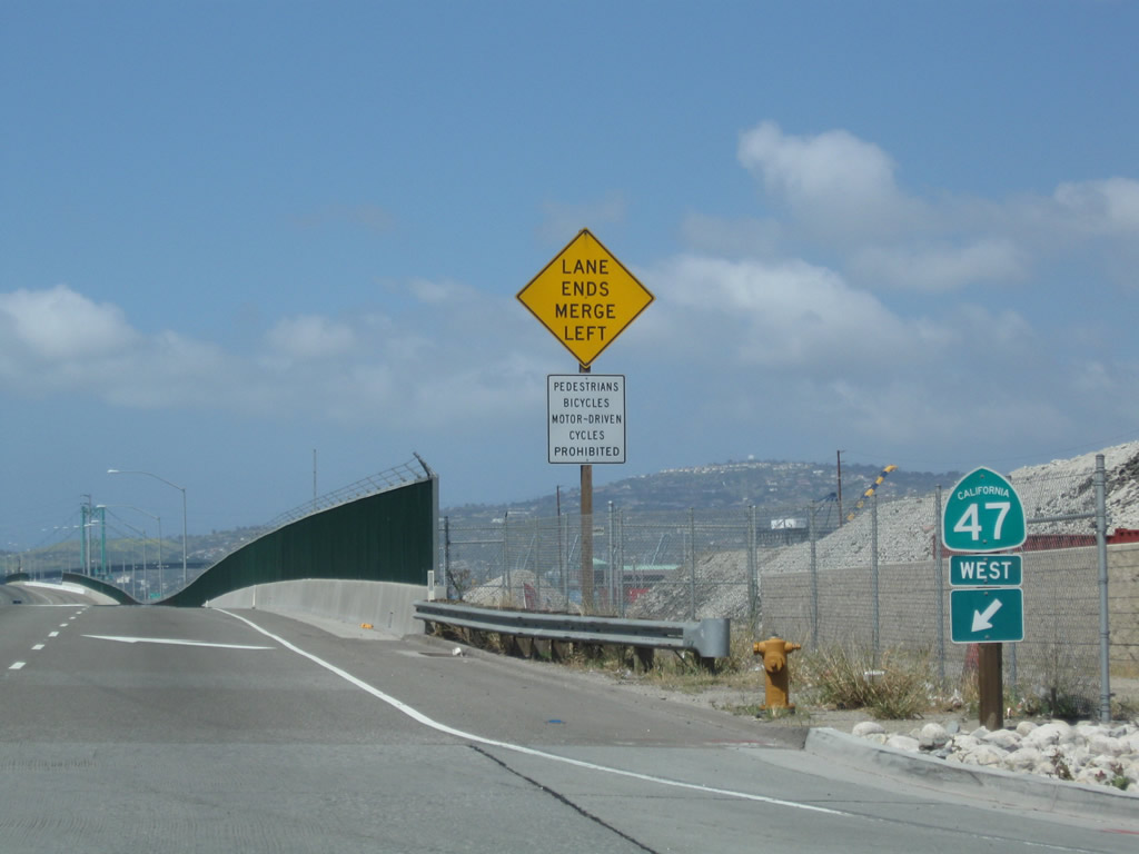
The SR 47 entrance shield along the outside lane beyond Pier S Avenue was removed by 2021.
05/02/10
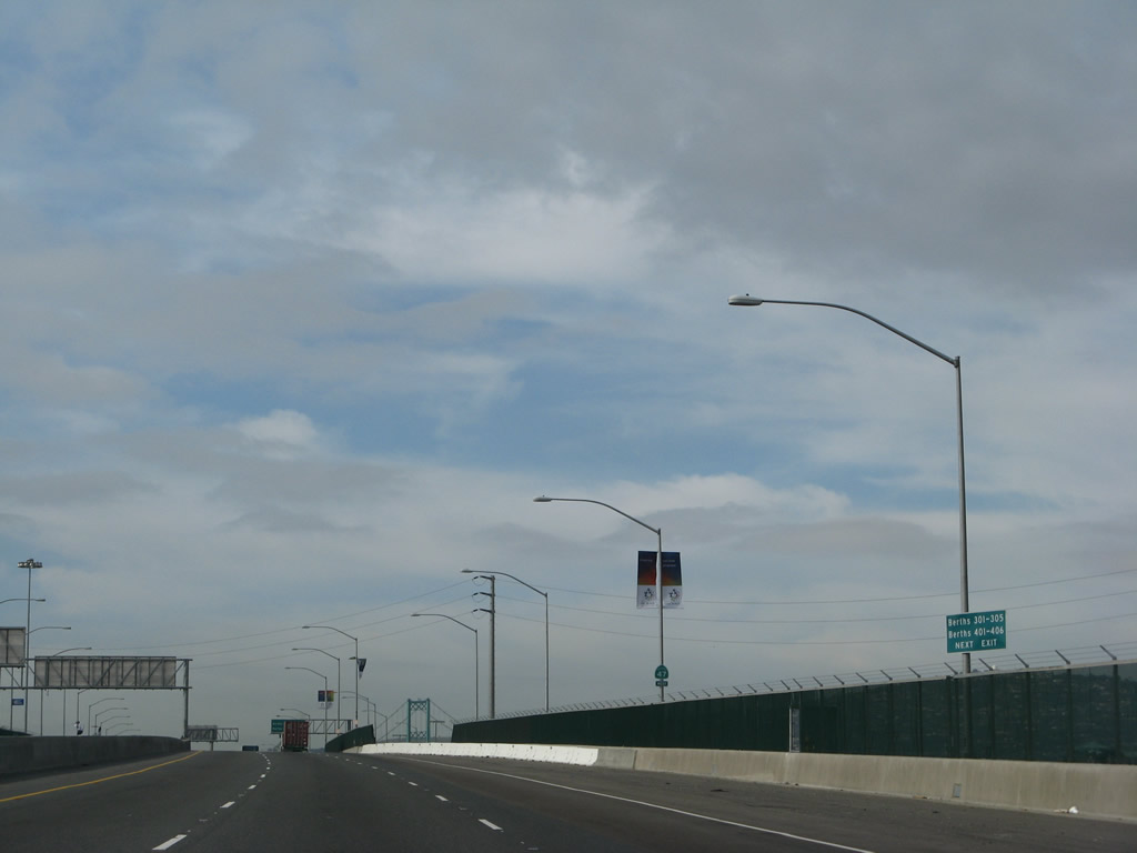
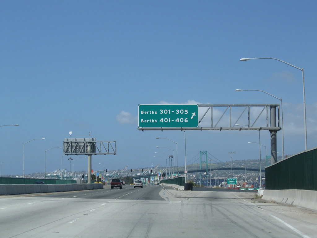
An unnumbered exit follows from SR 47 (Ocean Boulevard) west to Terminal Way to Berths 301-305 and Navy Way to Berths 401-406.
02/02/08
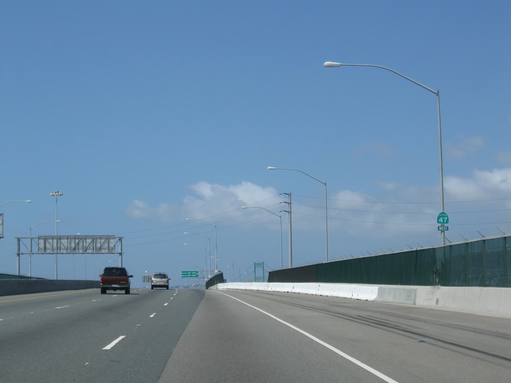
The Port of Long Beach cedes responsibility for SR 47 to the city of Los Angeles as Ocean Boulevard ends and Seaside Avenue begins.
05/02/10
The exit for Terminal Way west and Navy Way south departs from SR 47 (Seaside Avenue). This ramp bypasses the signalized intersection joining Terminal Way and Navy Way. Historically a U.S. Naval Reservation was located to the south.
05/02/10
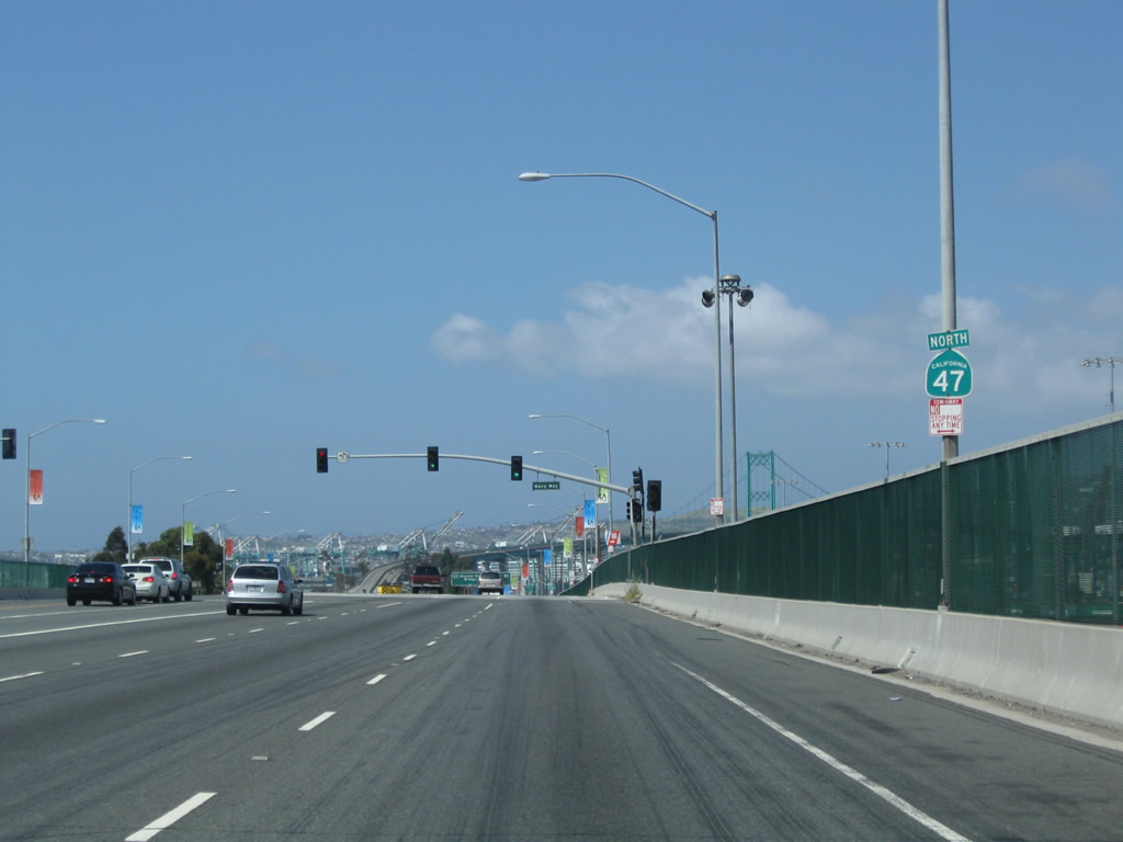
Removed by 2014, an erroneous SR 47 north reassurance marker preceded the signalized intersection with Navy Way south. Navy Way south to Terminal Way connects SR 47 with Port of Los Angeles berths numbering in the 200s.
05/02/10
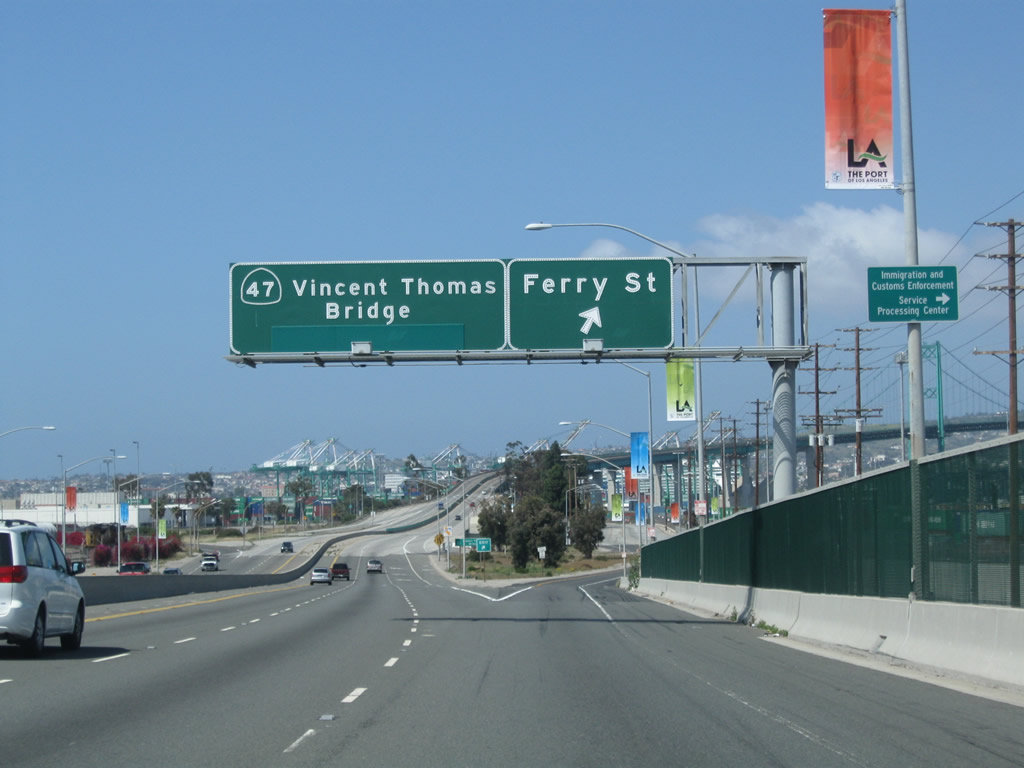
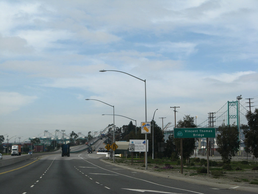
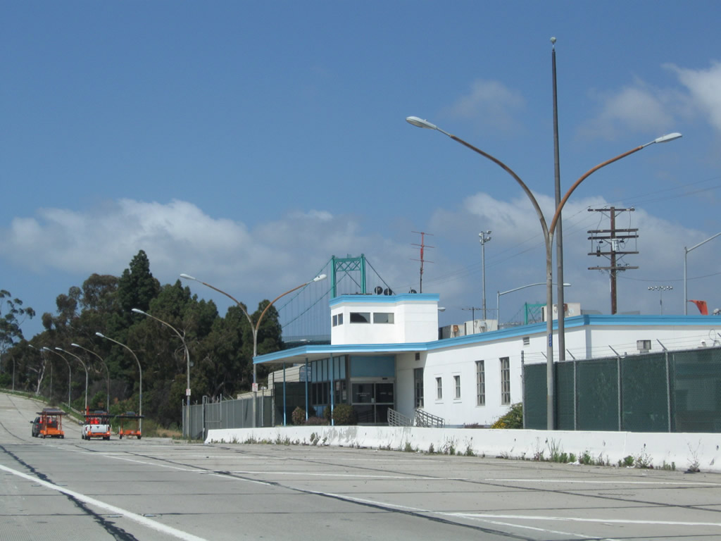
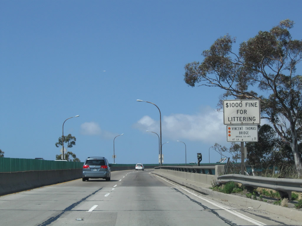
West of Navy Way, Seaside Avenue upgrades to the Seaside Freeway. The last departure point before crossing the Vincent Thomas Bridge, Exit 1 B follows for Ferry Street.
05/02/10
A ground level sign posted at the Exit 1 B gore point once displayed the toll rates for the Vincent Thomas Bridge. Toll collection ceased in 2000.
02/02/08
The Vincent Thomas Bridge toll plaza preceded the east bridge approach. The toll authority building on the north side was repurposed as the Caltrans Terminal Island Maintenance Station.
05/02/10
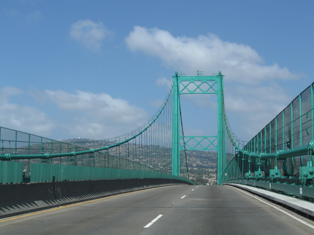
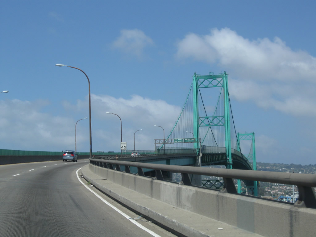
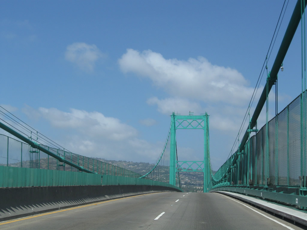
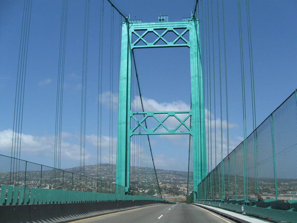
With bright green suspension towers and a regal appearance, the Vincent Thomas Bridge spans the Los Angeles Channel west from Terminal Island to San Pedro in the city of Los Angeles.
05/02/10
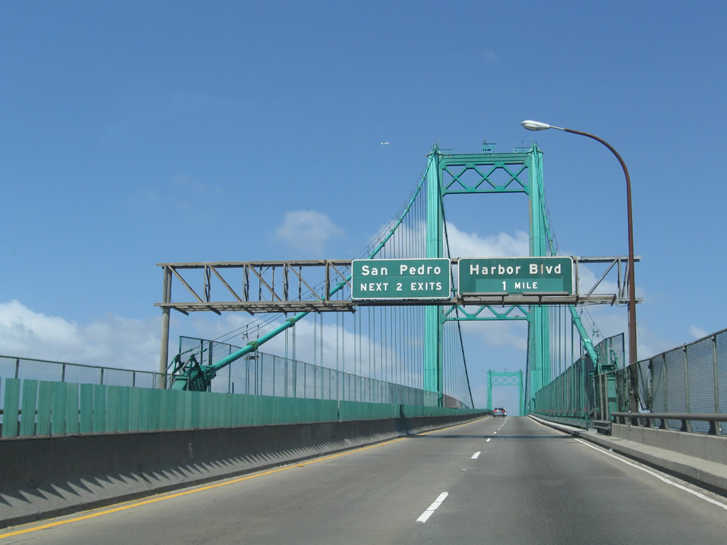
Exit 1 C joins the west end of the Vincent Thomas Bridge with Harbor Boulevard at Swinford Street across from the Los Angeles World Cruise Center.
05/02/10
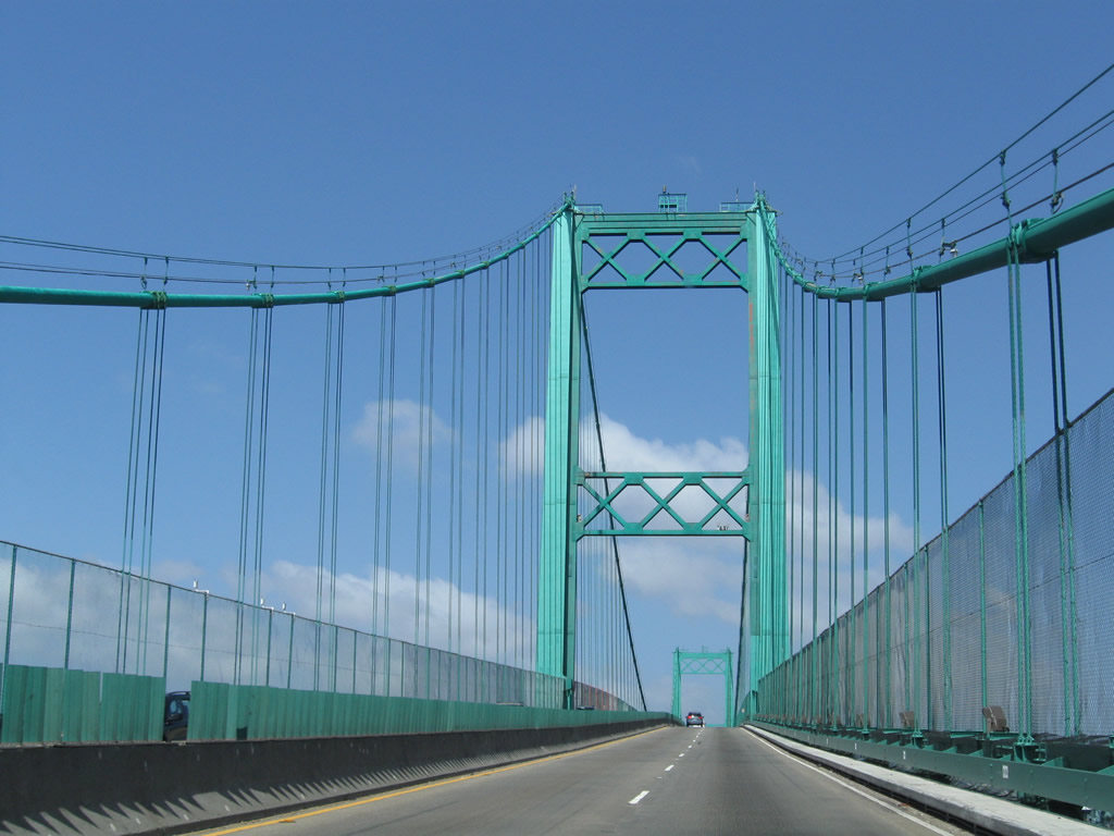
365 feet high towers support the 1,500 foot long main suspension span of the Vicent Thomas Bridge. The overall bridge length is 6,050 feet.
05/02/10
The Vincent Thomas Bridge was designed to withstand winds of 90 miles per hour, double that required by code.
05/02/10
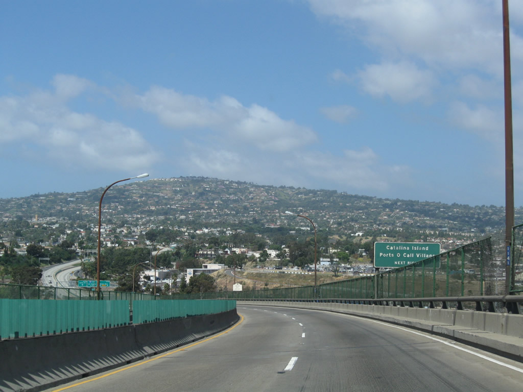
Exit 1C (Harbor Boulevard) serves the Catalina Island Express Terminal. San Pedro is a popular origination point for ferries leading to Santa Catalina Island and the city of Avalon. Incorporated on June 26, 1913, Avalon is the only incorporated city on the Channel Islands and was home to 3,460 people as of the 2020 Census.
05/02/10
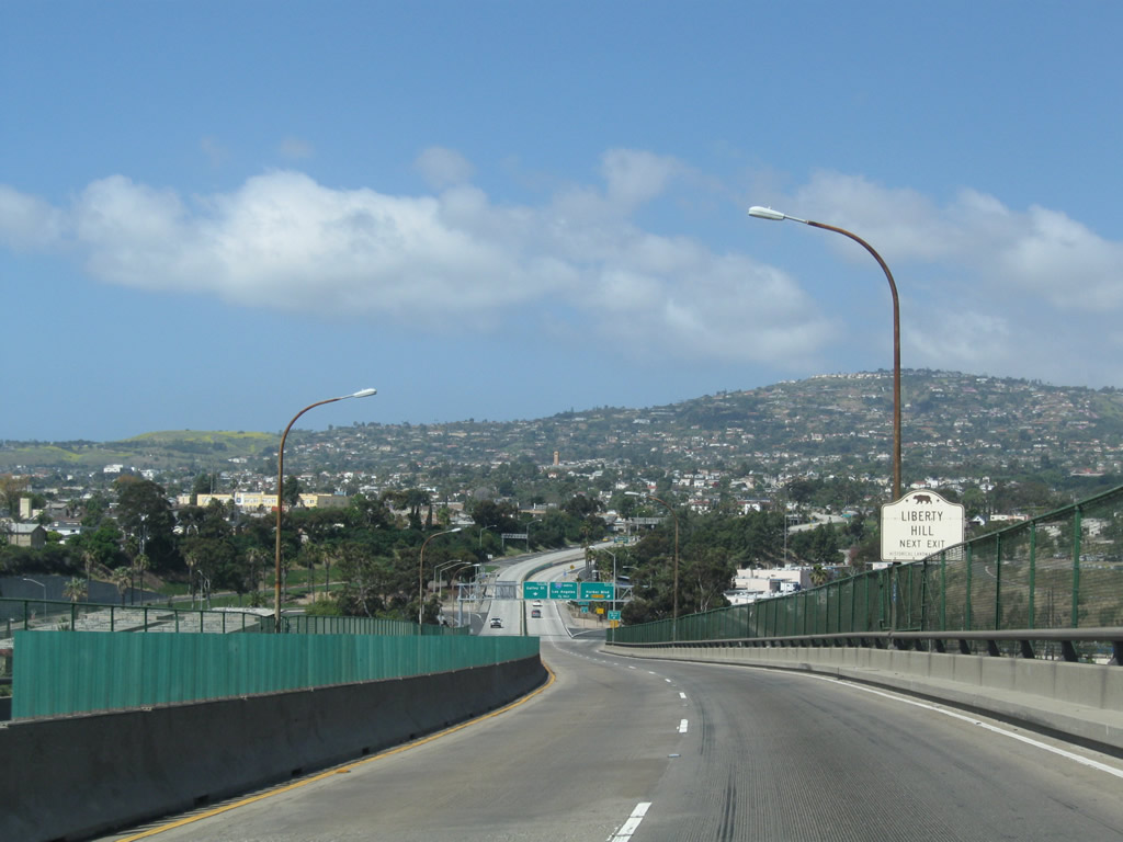
The dominant feature to the west of San Pedro is Rancho Palos Verdes. Less noticeable from the scenic view but significant in the history of labor and unions is Liberty Hill. The link goes to the Marine Transport Workers Industrial Union 510 webpage with a facsimile of the historical marker noting the significance of a labor strike from 1923 that helped to bring better working conditions for port workers during the Roaring Twenties. The historical marker is at the intersection of 5th Street and Harbor Boulevard.
05/02/10
For a brief time around 2008, this advance sign for Harbor Boulevard was the only one at Exit 1C.
05/02/10
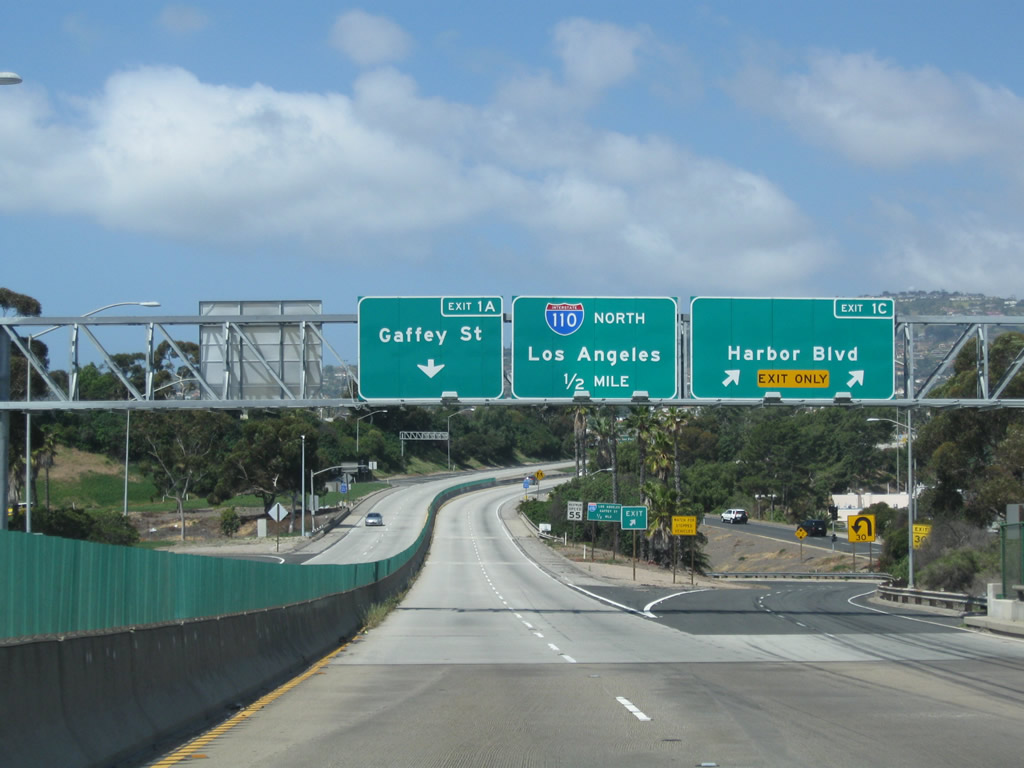
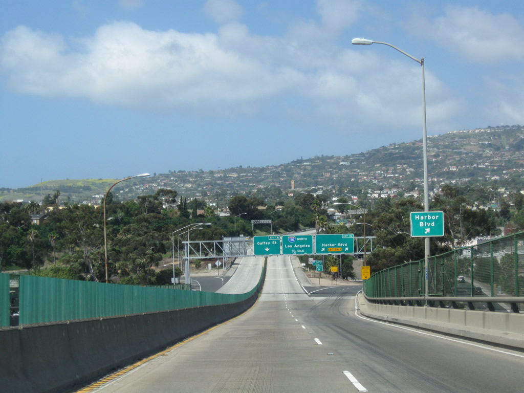
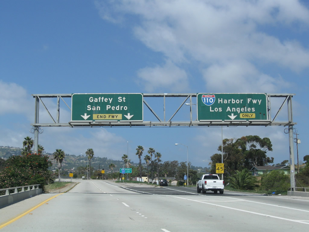
The final exits from SR 47 (Seaside Freeway) west connect with Interstate 110 (Harbor Freeway) north and Gaffey Street south. With signs removed during the early 2000s, Gaffey Street was formerly part of SR 110 between SR 47 and Ninth Street.
05/02/10
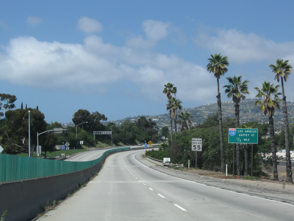
SR 47 enters the two-wye interchange (Exit 1 A) with I-110 north in a half mile.
05/02/10
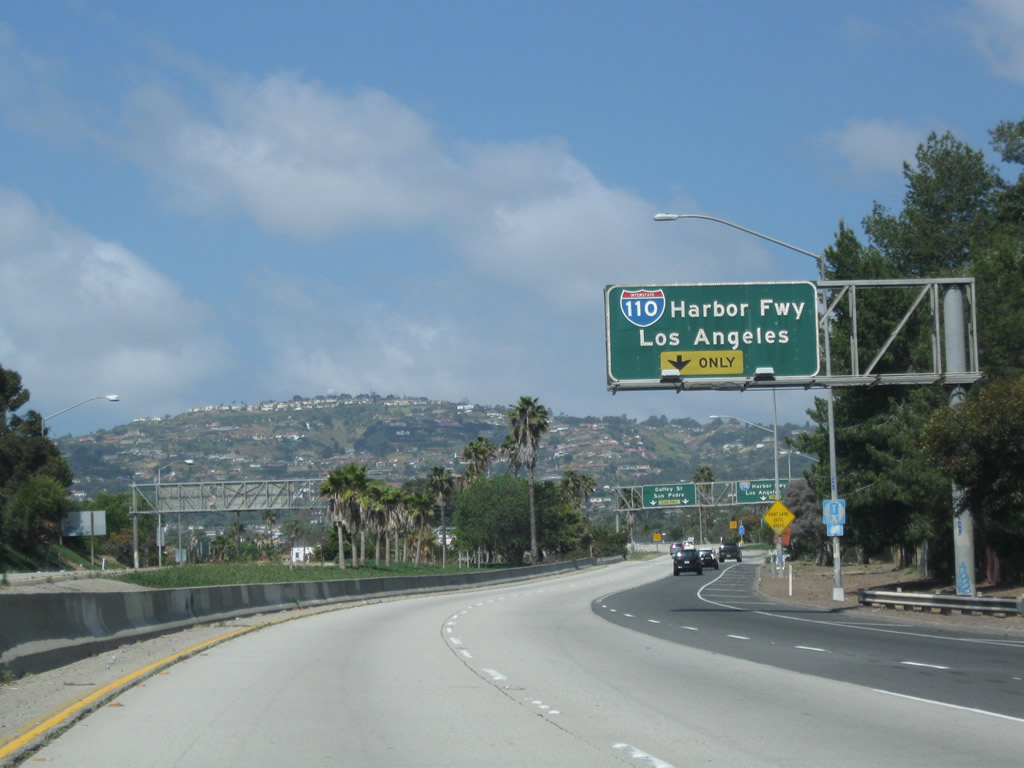
An auxiliary lane opens along SR 47 west for the unnumbered exit onto Interstate 110 (Harbor Freeway) north to Downtown Los Angeles.
05/02/10
Two lanes continue across a flyover above I-110 onto Summerland Avenue west ahead of Gaffey Street.
05/02/10
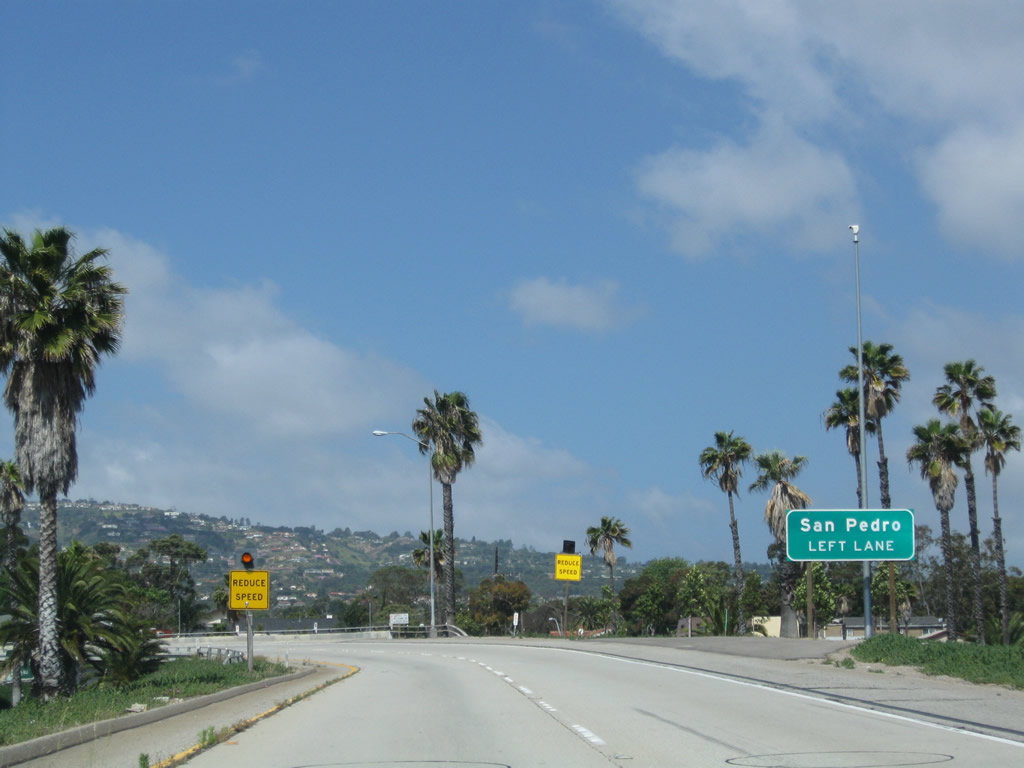
Gaffey Street extends south from the end of SR 47 and Interstate 110 through San Pedro to Point Fermin Park along the Pacific Ocean.
05/02/10
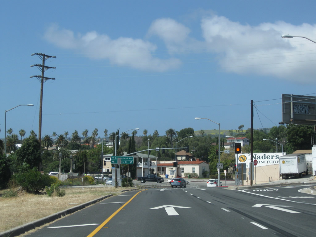
A turn off for Gaffey Place north precedes the signalized intersect joining Summerland Avenue and SR 47 with Gaffey Street.
05/02/10
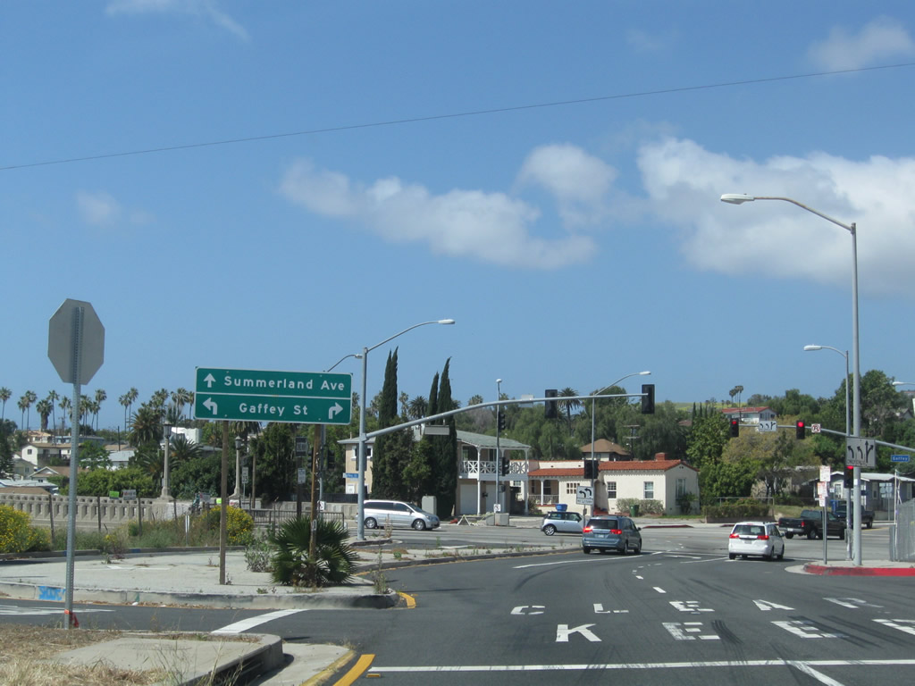
Summerland Avenue runs west from Gaffey Street to S Western Avenue and the Rancho Palos Verdes city line.
05/02/10
References:
- San Pedro: Vincent Thomas Bridge History. http://www.sanpedro.com/sp_point/vtbrdg.htm
- Schuyler Heim Bridge Replacement and SR-47 Expressway Project Record of Decision, August 2009. http://www.dot.ca.gov/dist07/resources/envdocs/docs/SR47_ROD_Final.pdf
Photo Credits:
- Andy Field: 02/02/08, 09/28/08, 05/02/10, 07/09/18
Connect with:
Page Updated Friday August 01, 2025.