
State Route 73
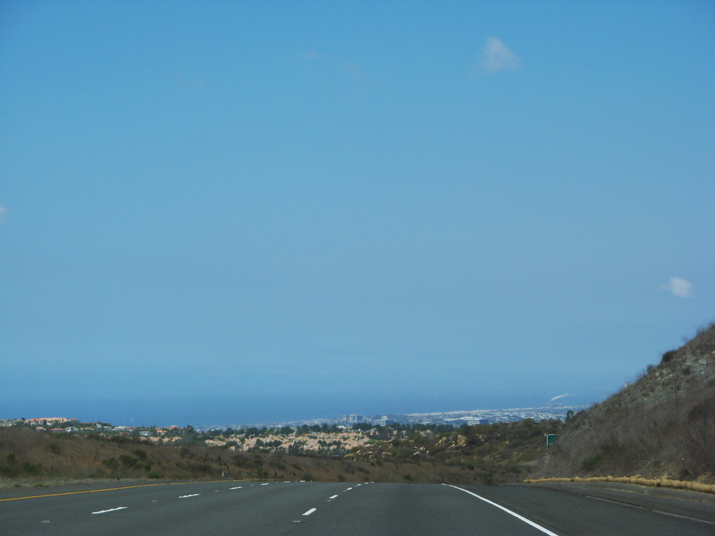
Newport Beach and the Pacific Ocean come into view from the top of the grade in the San Joaquin Hills along California State Route 73 northbound. - 04/21/2007
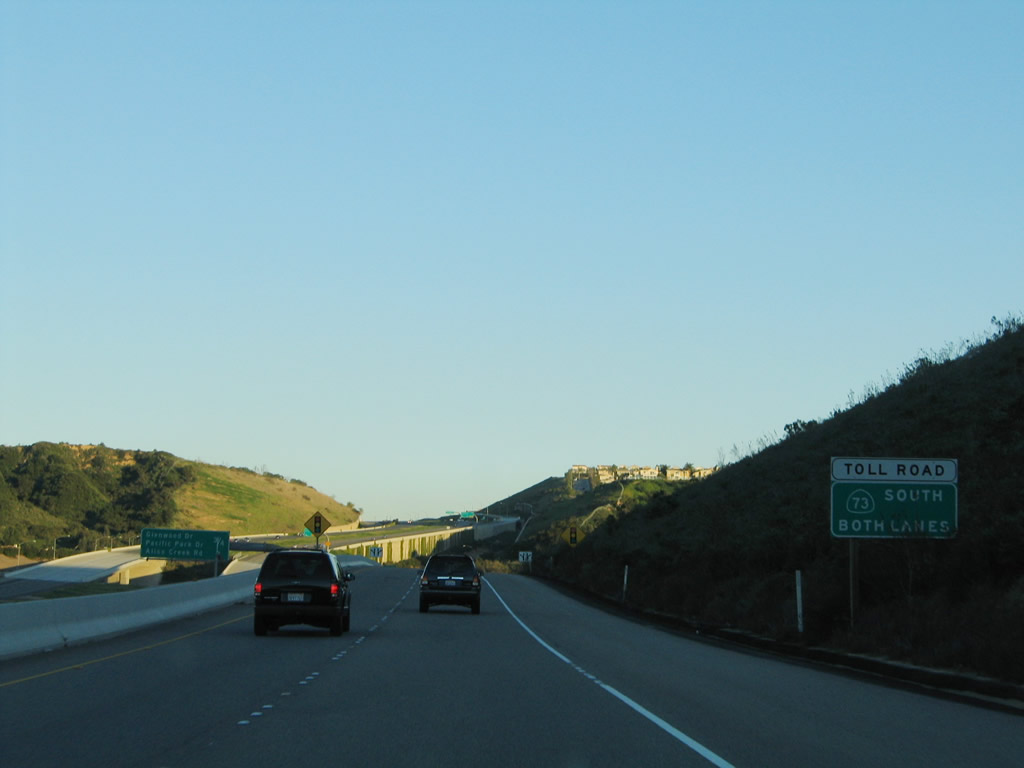
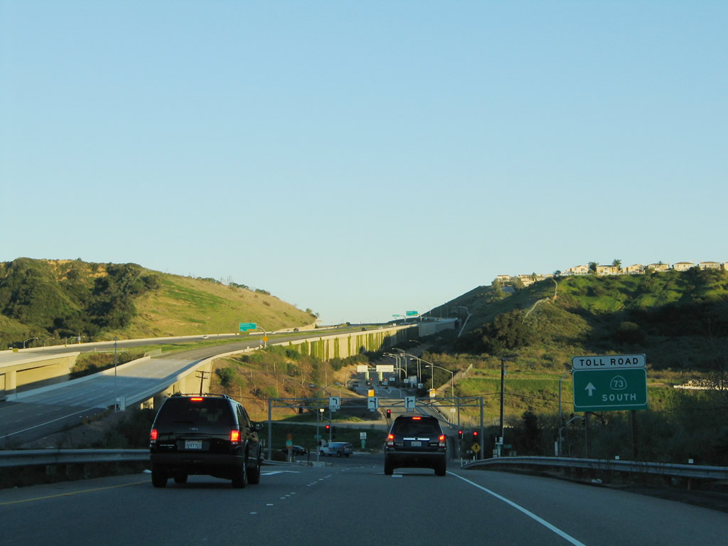
California 73 is the Corona del Mar Freeway and the San Joaquin Hills Transportation Corridor, a privately-constructed toll road that begins in Laguna Nigel at Interstate 5, then heads northwest through Laguna Hills and skirting the city of Irvine. The route stays mostly rural between Laguna Hills and Newport Beach, then becomes a free road at MacArthur Drive. California 73 then connects with Interstate 405, providing creating a short-cut for travelers along Interstate 5 headed northwest to Long Beach, Los Angeles International Airport (LAX), and points north.
California State Route 73 Guides
The toll road segment from Interstate 5 to MacArthur Boulevard (called the San Joaquin Hills Transportation Corridor) opened to traffic in November 1996. The Corona del Mar Freeway segment from MacArthur Boulevard to Interstate 405 (San Diego Freeway) opened to traffic in 1978 and is free of tolls. Prior to the completion of the toll road in 1996, California 73 was previously aligned onto MacArthur Boulevard south to end at California 1 (Pacific Coast Highway) in Newport Beach. The southern endpoint changed to Interstate 5 once the freeway was constructed.
When the private contractor built the California 73 Foothill Corridor in 1996, the overhead and roadside guide signs were installed with a non-standard color. The color used was a little bit bluer than the standard forest green used at that time for non-reflective, button-copy signage. Due to the substandard nature of the signs, Caltrans required the contractor to replace the semi-bluish signs with new reflective signage that is in conformance with the new standard.
A two-lane, one-way roadway connects California 133 (Laguna Canyon Road) with California 73 (San Joaquin Hills Transportation Corridor) south. This view looks at this one-way frontage road between California 133 and the intersection with El Toro Road (CR S-18).
01/30/05
The left lane of the frontage road connects to El Toro Road (Orange County S-18) northeast, while the right two lanes will connect to California 73 (San Joaquin Hills Transportation Corridor) south. The right lane links to El Toro Road (Orange County Route S-18) southwest.
01/30/05
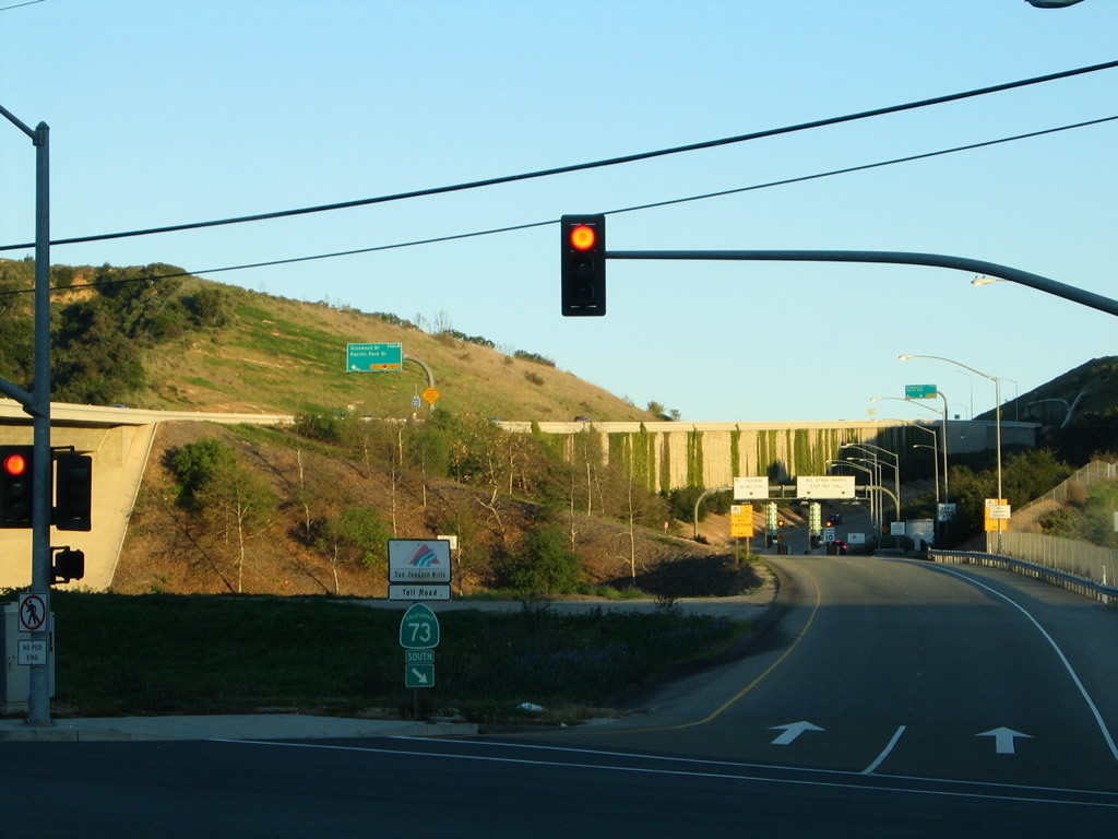
Rather than a freeway entrance shield assembly, the entrance signage for the California 73 (San Joaquin Hills Transportation Corridor) south uses the toll road logo with the words "San Joaquin Hills" and a separate placard for "Toll Road."
01/30/05
After the signalized intersection with El Toro Road (CR S-18), all traffic will connect onto California 73 (San Joaquin Hills Transportation Corridor) south. The left lane is for FasTrak (electronic toll collection), and the right lane is for cash toll collection.
01/30/05
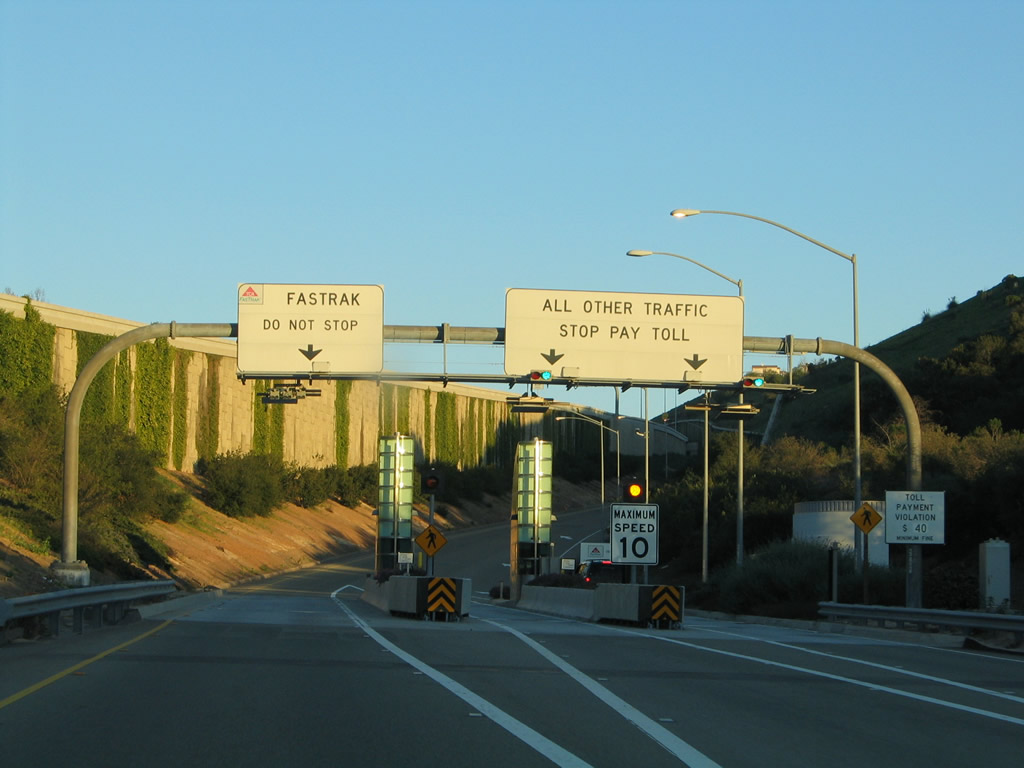
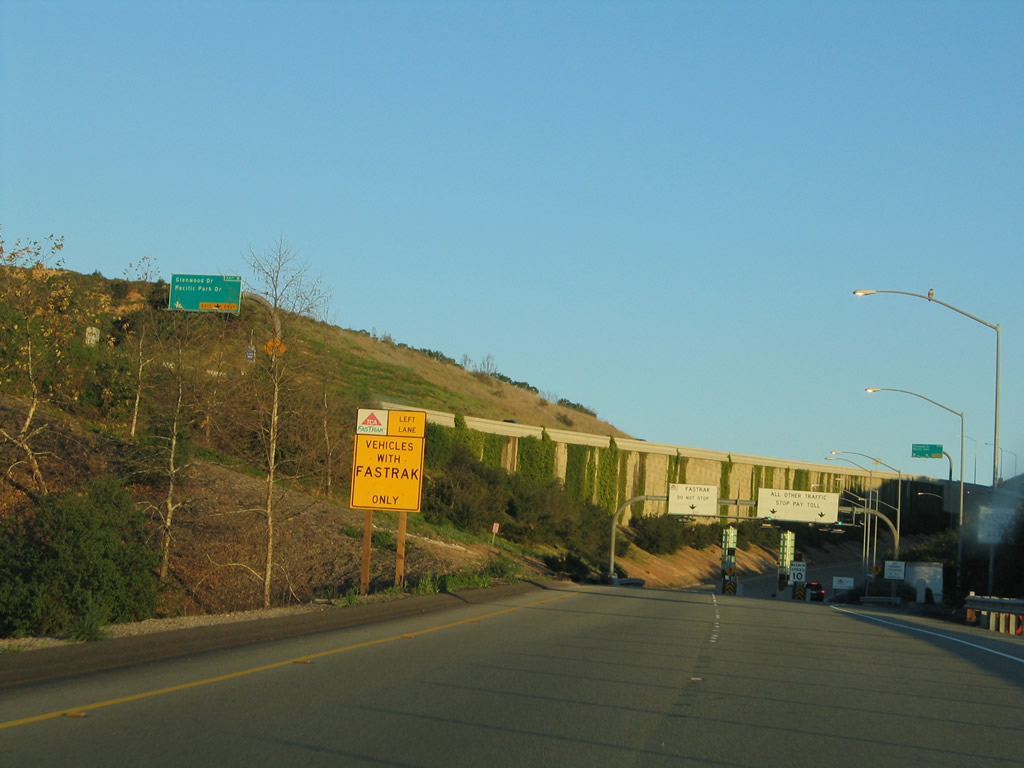
The toll plaza awaits along the on-ramp to California 73 south from the frontage road.
01/30/05
Photo Credits:
- Andy Field: 01/30/05
Connect with:
Page Updated Friday September 24, 2010.