
State Route 74

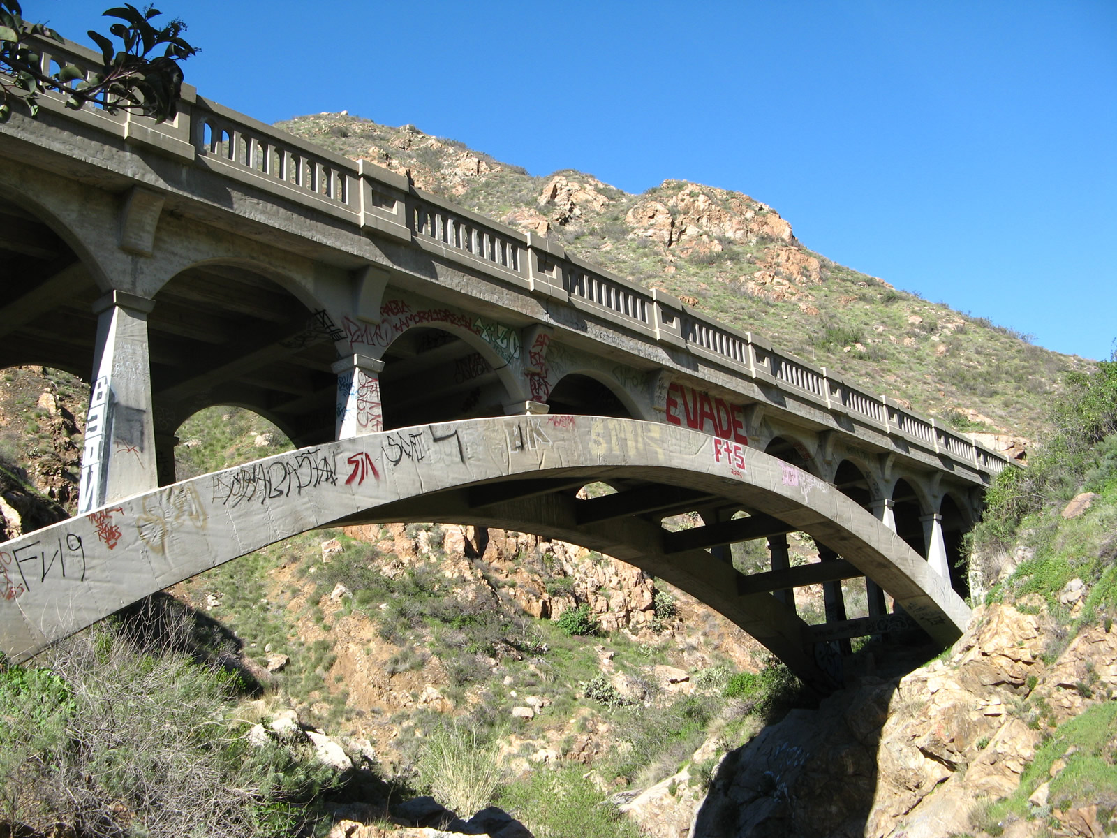
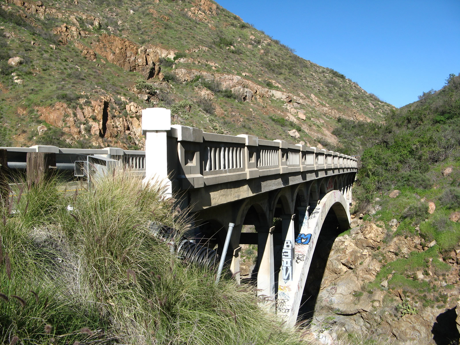
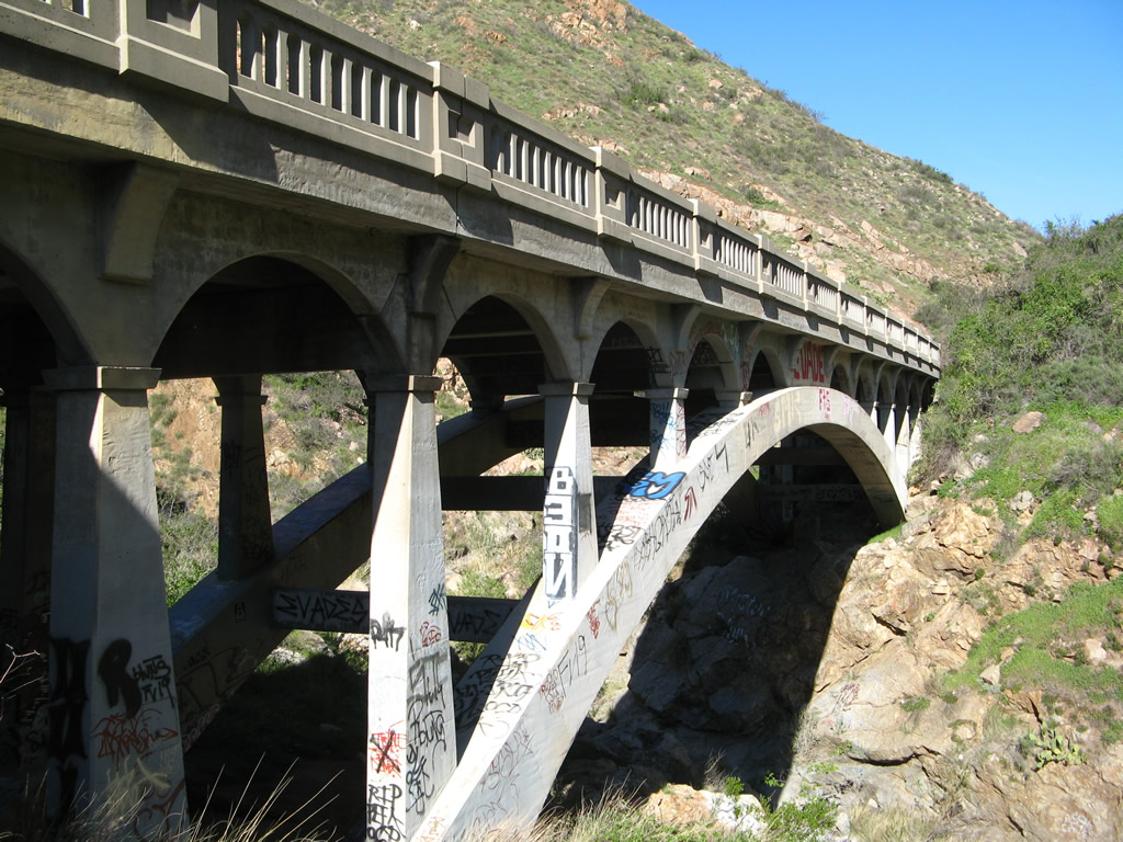
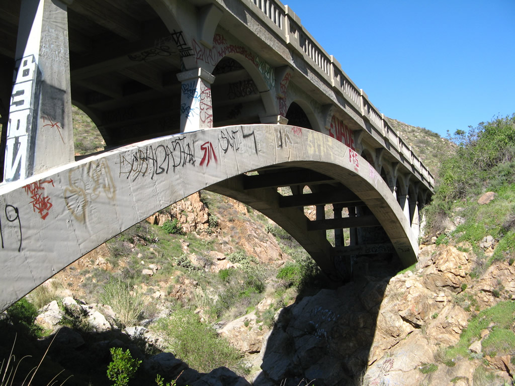
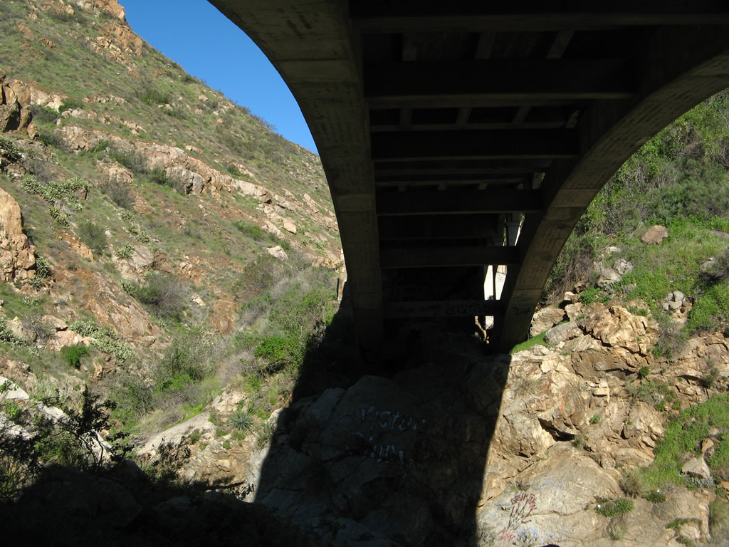
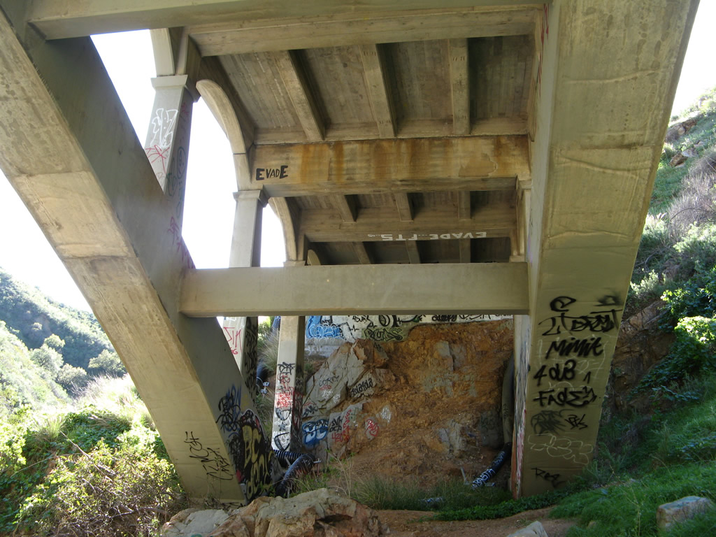
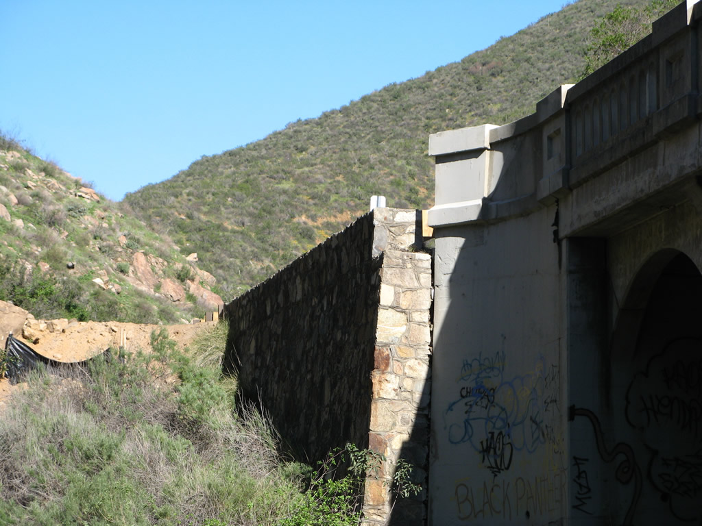
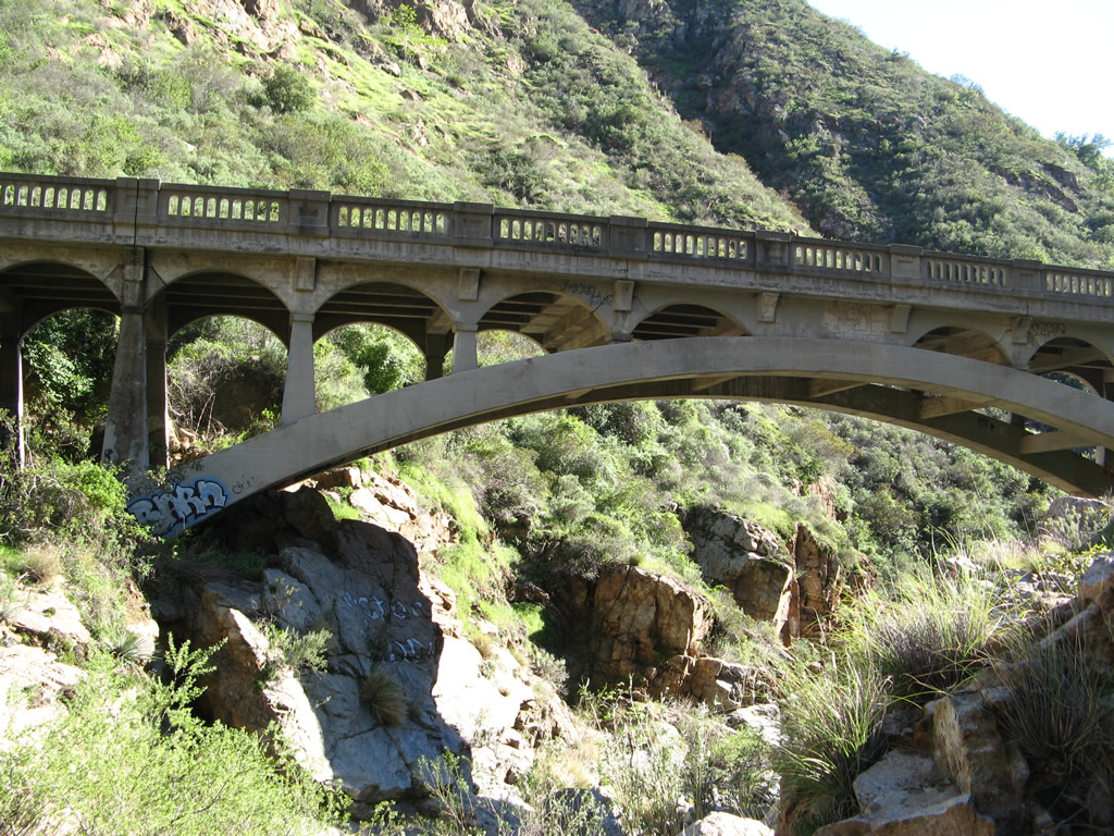
SR 74 spans San Juan Canyon on this deck arch bridge built in 1929. Graffiti and vandalism has taken its toll on the bridge, as height-defying graffiti artists have sprayed their slogans and logos all along the arch bridge's substructure. - 03/09/2008
California 74 is a major east-west state route that connects San Juan Capistrano in coastal Orange County with Palm Springs in desert Riverside County, passing through the southern Inland Empire and Idyllwild on its way. The highway begins at Interstate 5 and travels over the Ortega Highway through the Santa Ana Mountains, then descends into Lake Elsinore in Riverside County. After an interchange with Interstate 15, California 74 proceeds northeast along an old alignment of Historic U.S. 395 to Perris. At Perris, California 74 turns east toward Hemet in the San Jacinto Valley, then proceeds into the San Bernardino National Forest and San Jacinto Mountains. The two-lane highway links with California 243 in Mountain Center and California 371 near Anza. From there, California 74 curves north to descend into Palm Desert via Seven Level Hill, an engineering marvel from the 1930s. The state ceases maintenance of the highway at the city limits of Palm Desert, and the signed route (locally maintained) ends at California 111 in Palm Desert. A planned extension north to meet Interstate 10 has not yet been constructed, although Monterey Avenue serves in this capacity.
California State Route 74 Guides
California 74 is an old state route and has carried the 74 designation since at least the 1930s. For a time, the easternmost segment of California 74 (east of California 371) was co-signed with California 71 until that route was decommissioned south of Corona. An older designation for the eastern segment of California 74 was California 740, although that was likely a temporary designation as the various segments of the early California Highway System were built and connected.
Certain urban segments of California 74, such as the portion of state route through Perris and Palm Desert have been relinquished by the state to the local city, with a requirement placed on the city to maintain signage for the continuation of the state highway so that motorists are not confused when driving what otherwise appears to be a seamless route.
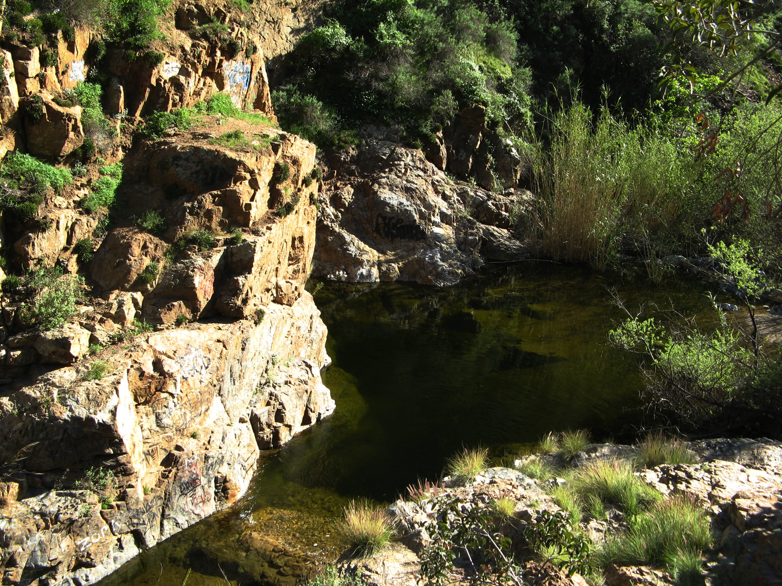
California 74 uses a 1929 deck arch bridge to span San Juan Canyon near the western entrance to Cleveland National Forest. The state route proceeds uphill from here; the initial view looks east, and the subsequent views show the bridge's substructure. Unfortunately, graffiti and vandalism have taken hold, but the bridge remains in use.
03/09/08
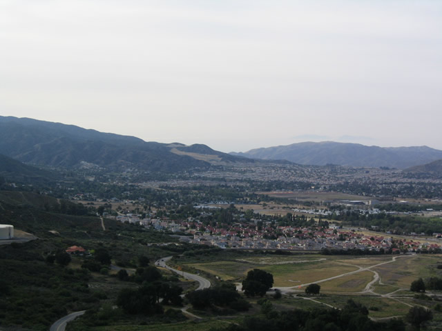
Many tract homes that look similar from a distance are visible from California 74 at the top of Cariso Grade.
04/18/04
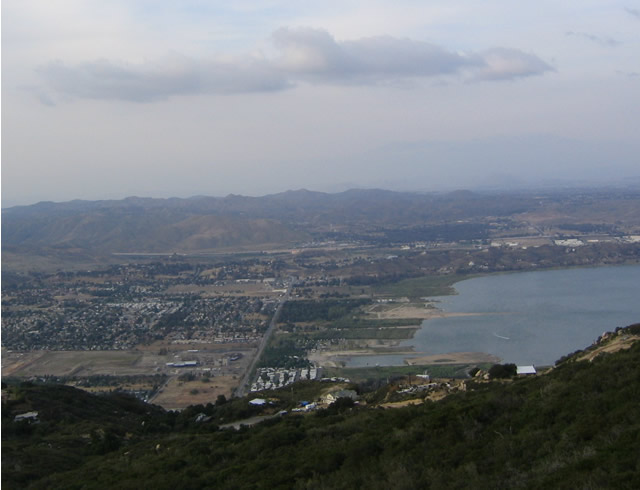
The city of Lake Elsinore, with its grid street pattern and hundreds of houses, lies at the north shore of the lake as seen from this vantage point from the top of Cariso Grade.
04/18/04
Traveling south of unincorporated Ladera Ranch in Orange County, Antonio Parkway advances to SR 74 (Ortega Highway).
03/09/08
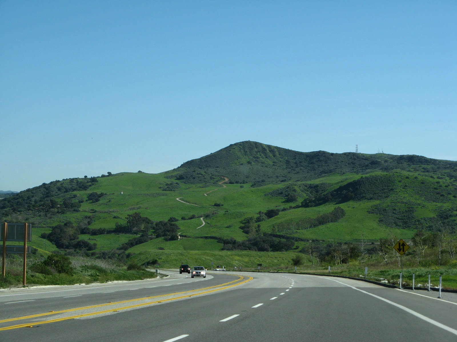
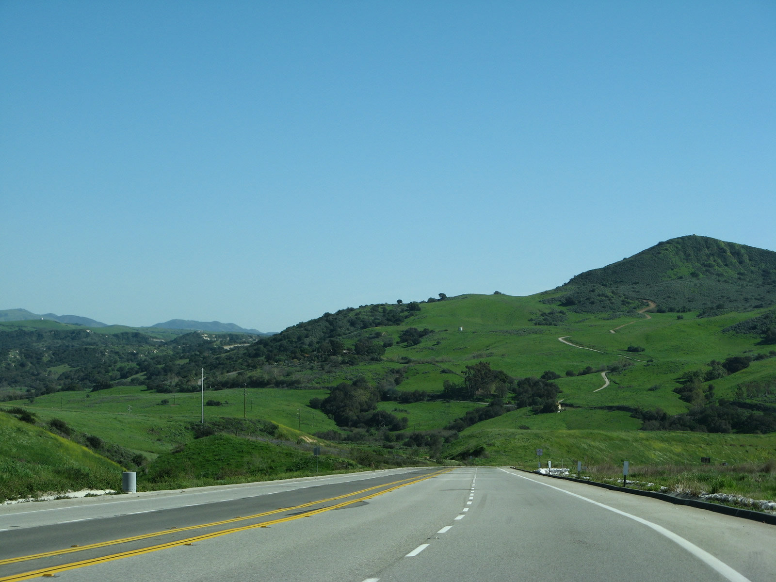
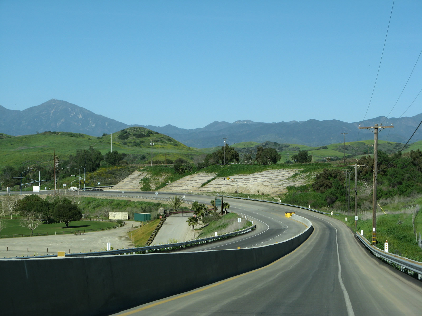
East from Antonio Parkway, SR 74 traverses the Santa Ana Mountains to Lake Elsinore.
03/09/08
SR 74 heads west from Antonio Parkway through San Juan Capistrano to Interstate 5.
08/10/04
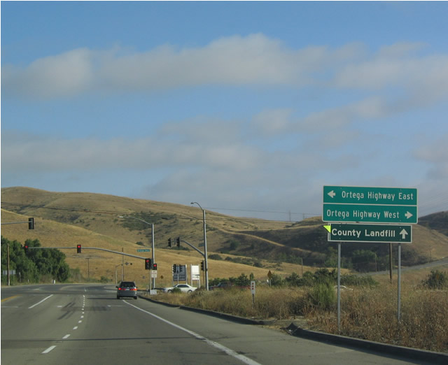
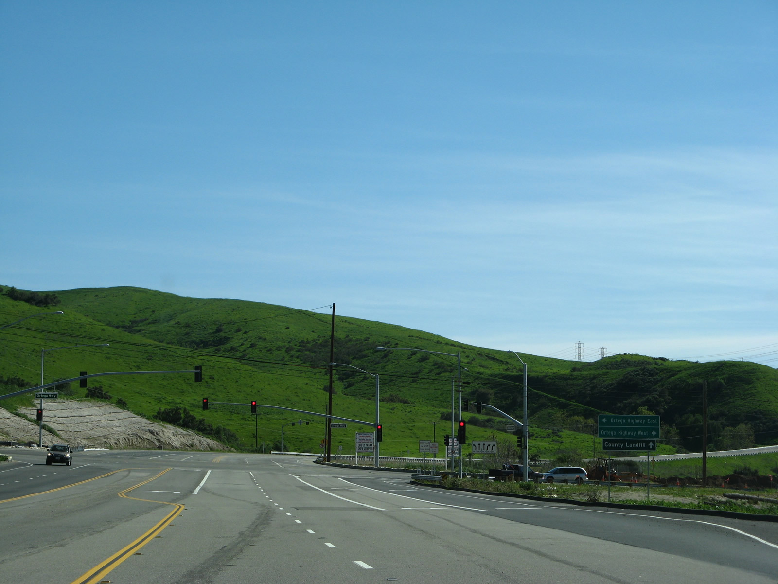
Beyond SR 74, La Pata Avenue takes over for Antonio Parkway for the final distance to the county landfill.
08/10/04
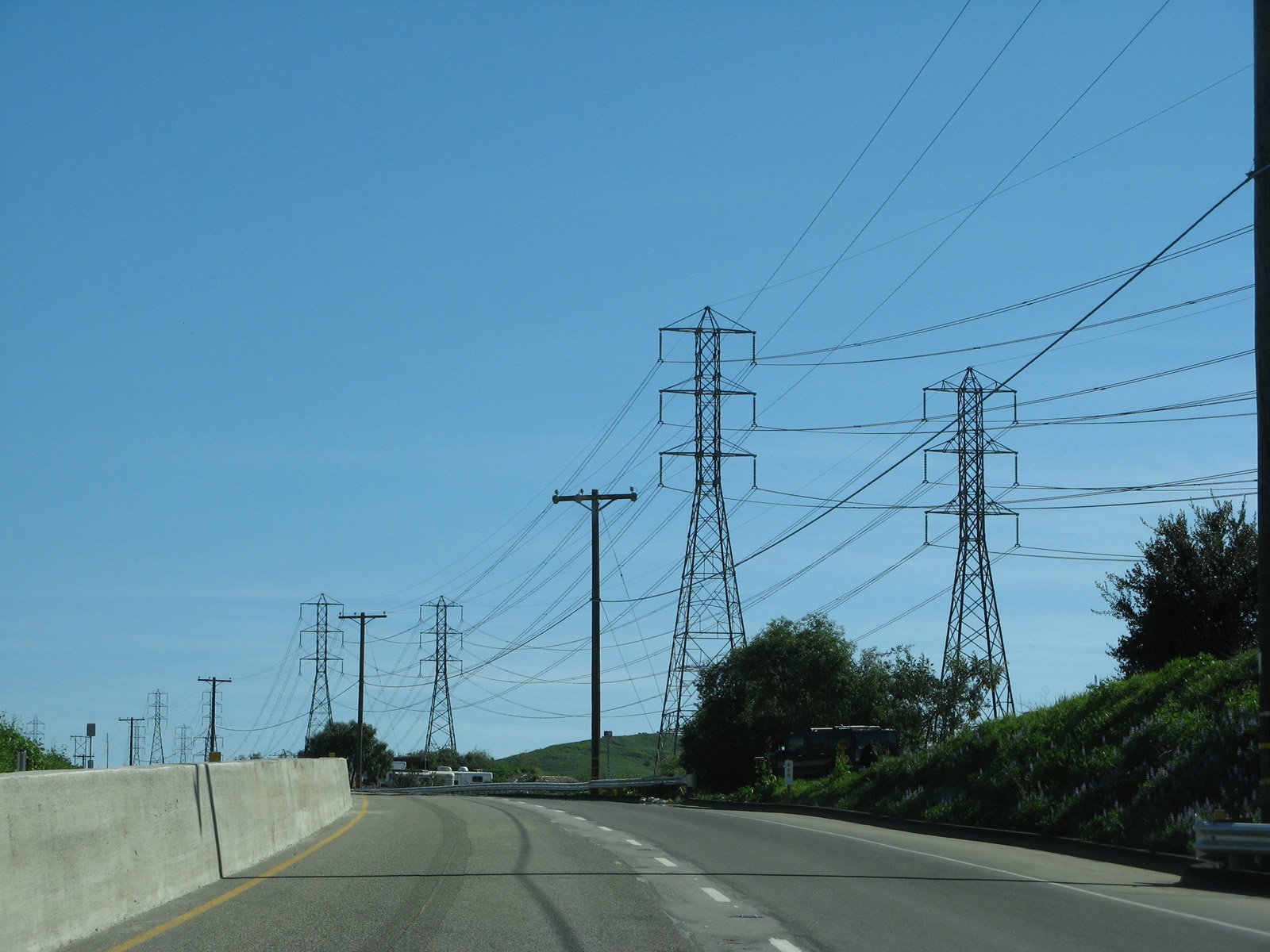
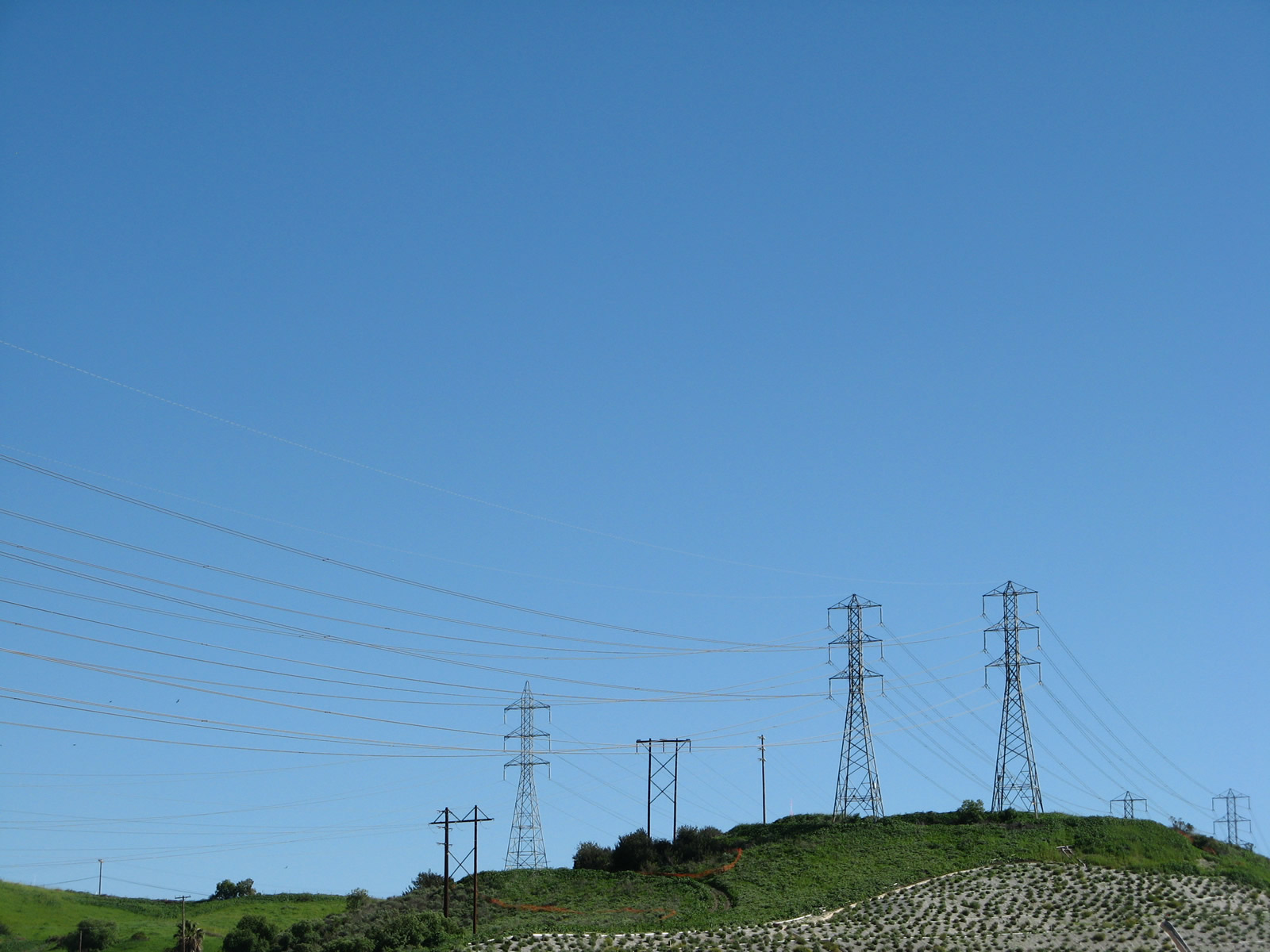
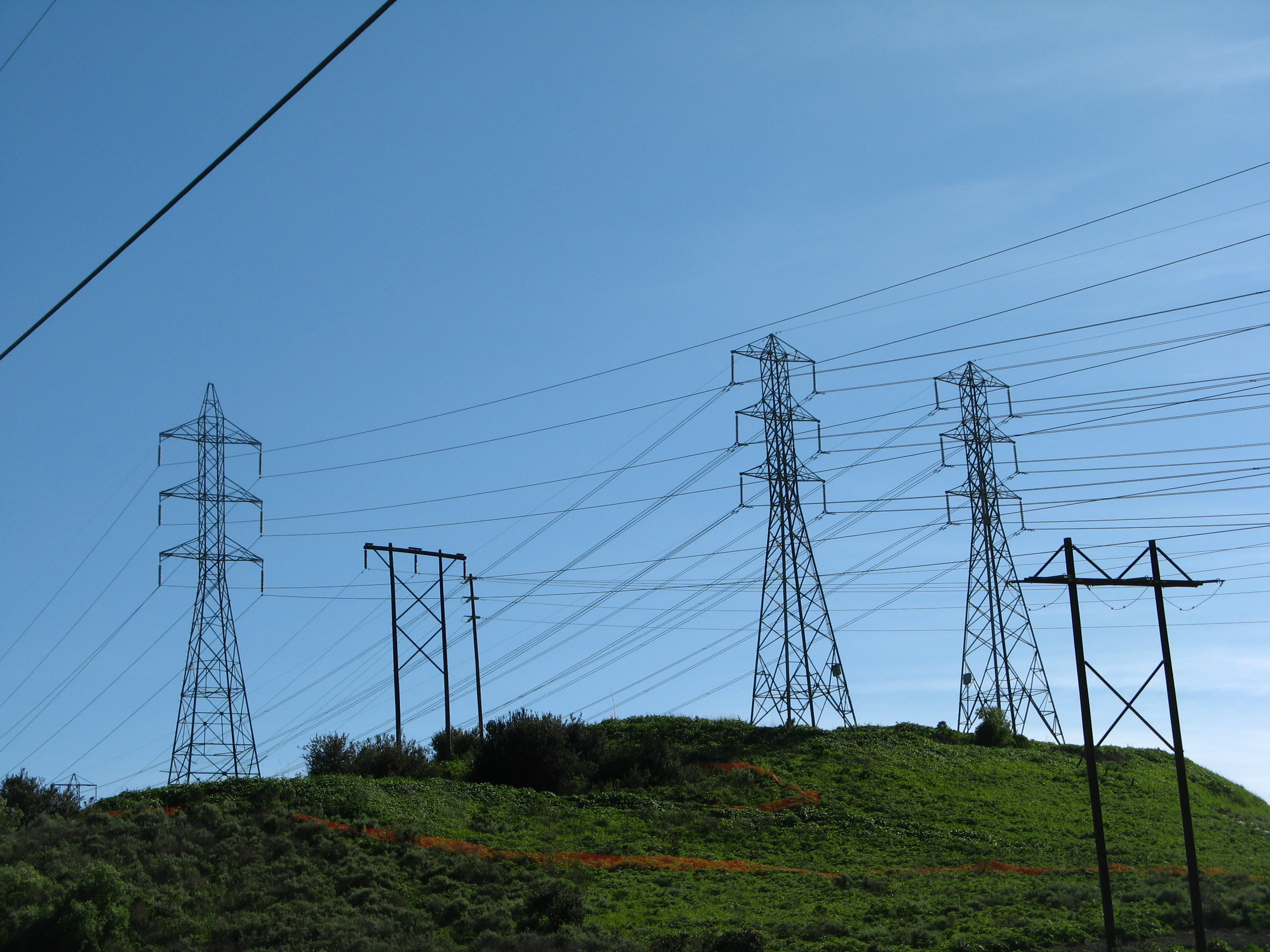
La Pata Avenue south en route to the county landfill. Adjacent Southern California Edison and San Diego Gas & Electric power lines lead toward San Onofre Nuclear Generating Station.
03/09/08
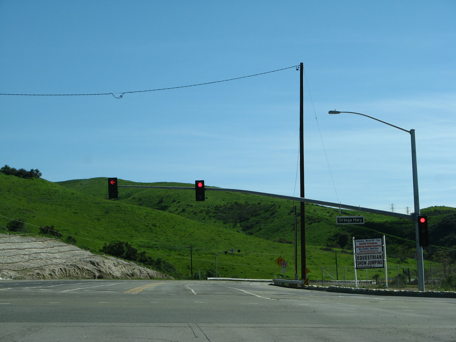
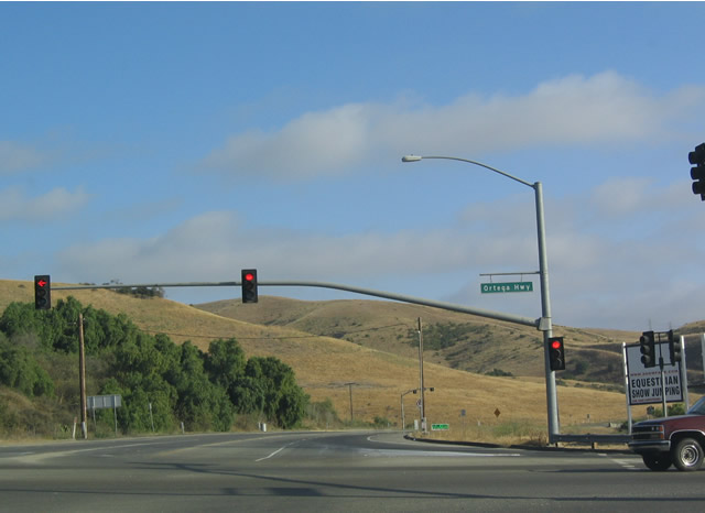
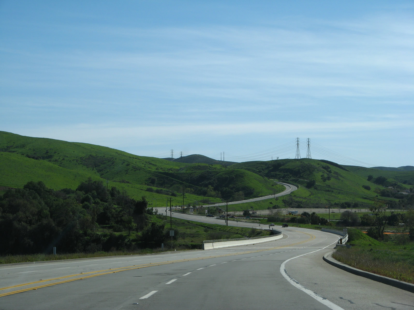
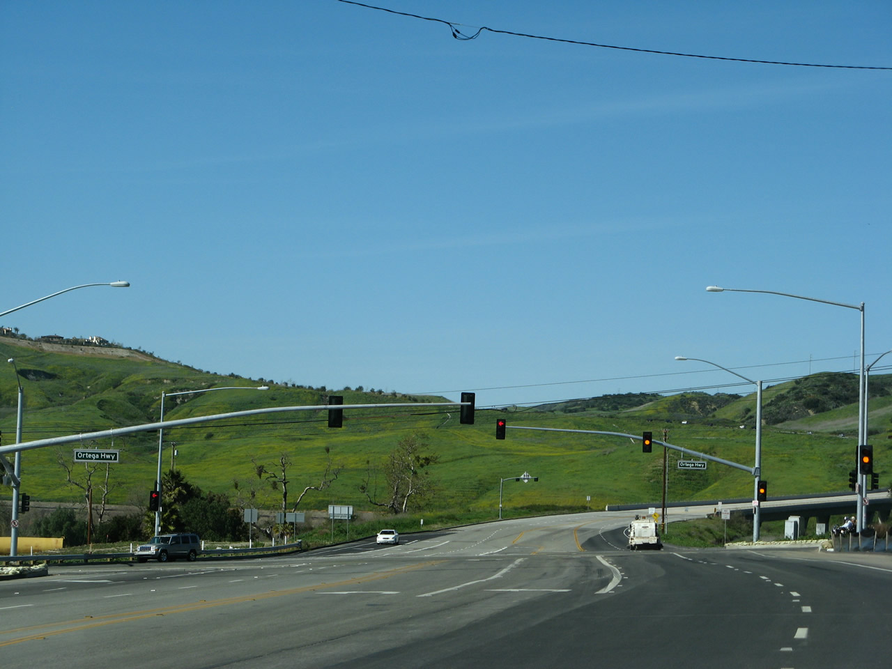
Northbound La Pata Avenue at California 74. Ortega Highway runs east-west through the valley.
03/09/08
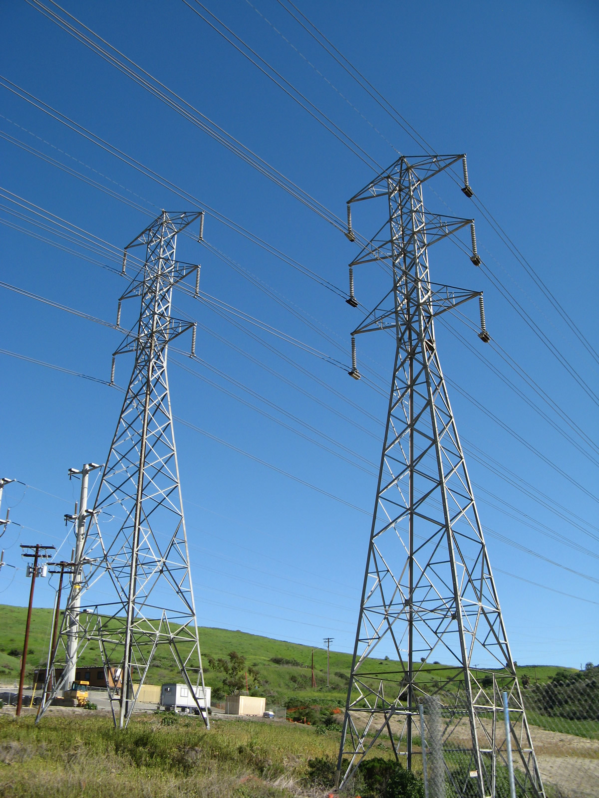
Southern California Edison and San Diego Gas & Electric power lines cross over La Pata Avenue not far from the California 74 intersection.
03/09/08
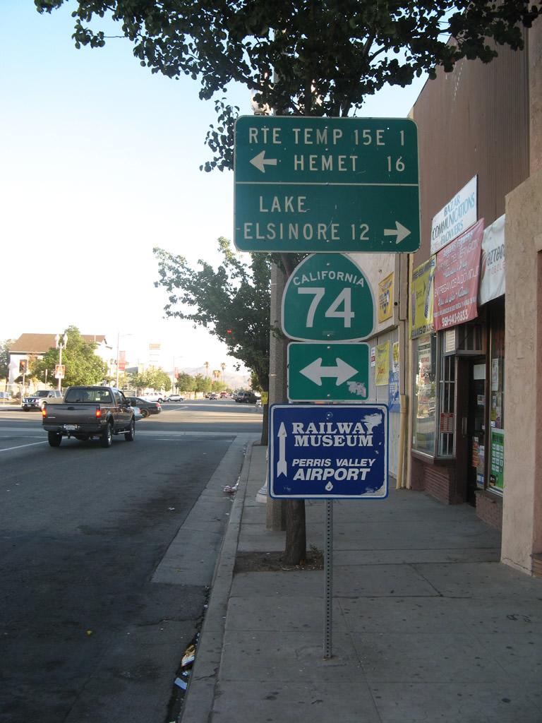
Traveling south on D Street in the city of Perris prior to the California 74 (Fourth Street) intersection was this mileage sign. It was removed by 2009 during a redevelopment project to improve the streetscape in downtown Perris. Note that Interstate 215 was referred to as "Temporary Interstate 15E." This referred to a designation that has not been used for the Interstate 215 corridor since 1982, when Interstate 15E (and Temporary Interstate 15E) were decommissioned in favor of Interstate 215.
07/15/07
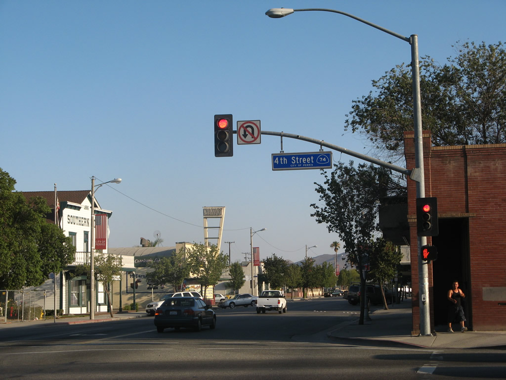
D Street is a former alignment of U.S. 395 and could have been a business loop for Interstate 215. The city of Perris uses blue signs to mark the traffic signal intersections, and this back-lit blue blade is posted with a blue California 74 shield.
07/15/07
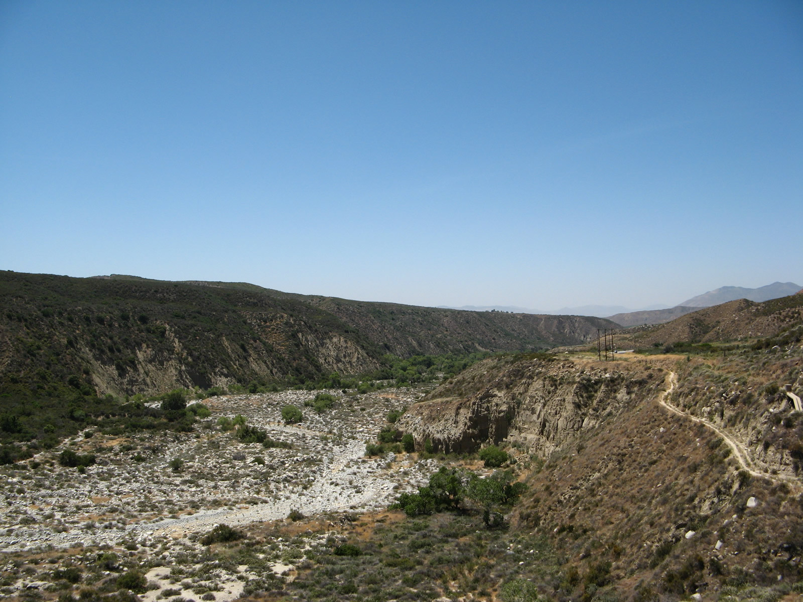
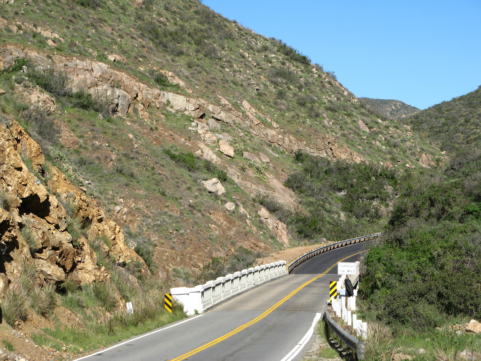
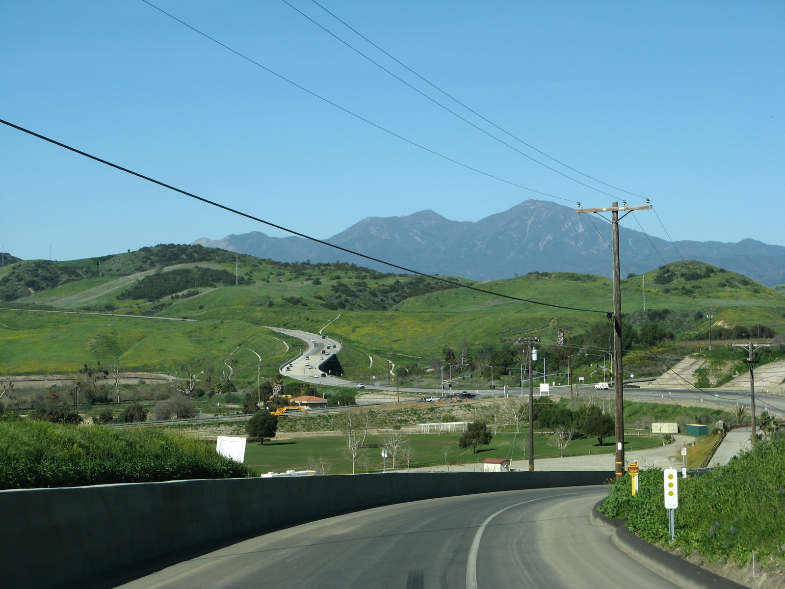
This view looks southwest toward the South Fork of the San Jacinto River as seen from a pull-out along California 74 between Hemet and the California 243 intersection (near Mountain Center).
06/07/08
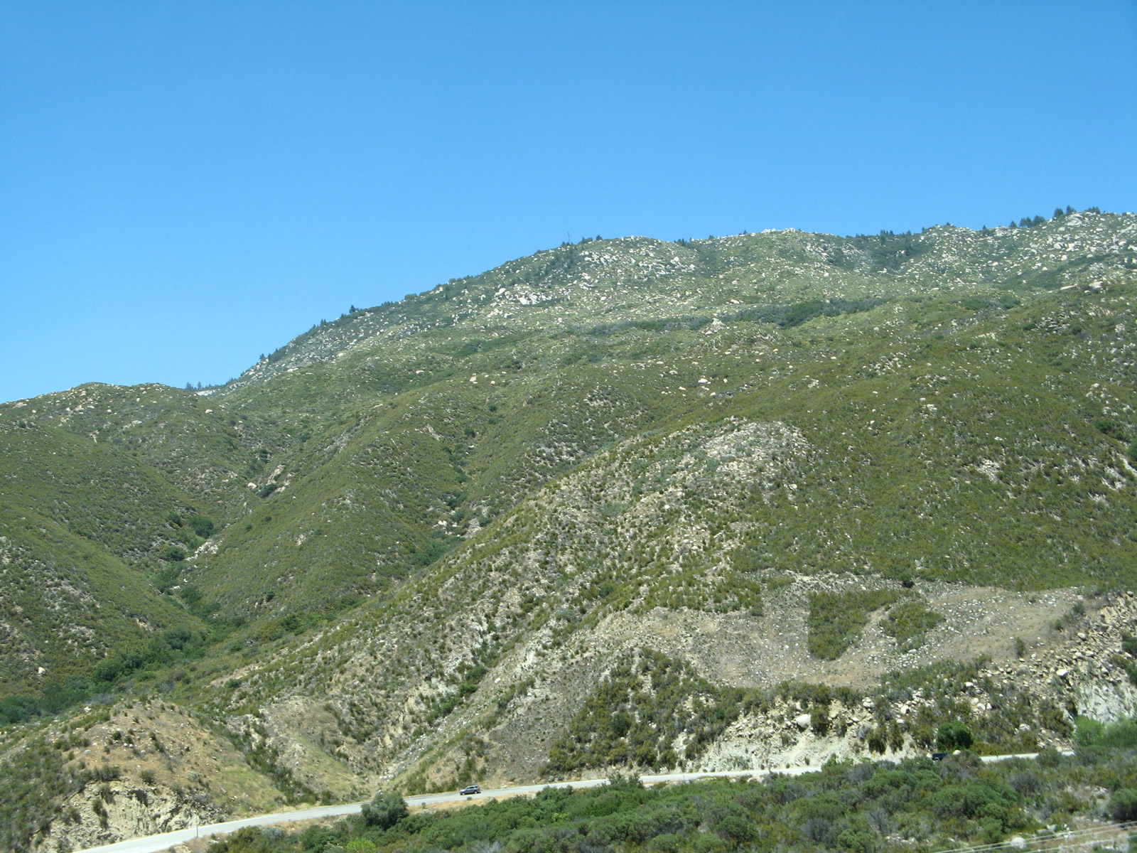
A sweeping curve carries California 74 above the South Fork of the San Jacinto River and below the mountains.
06/07/08
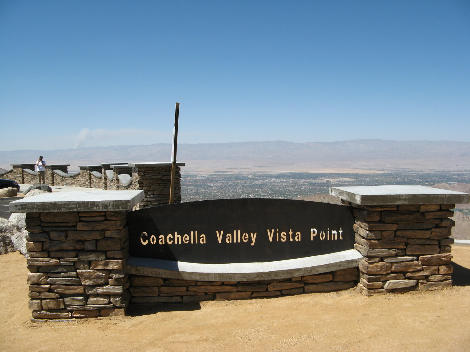
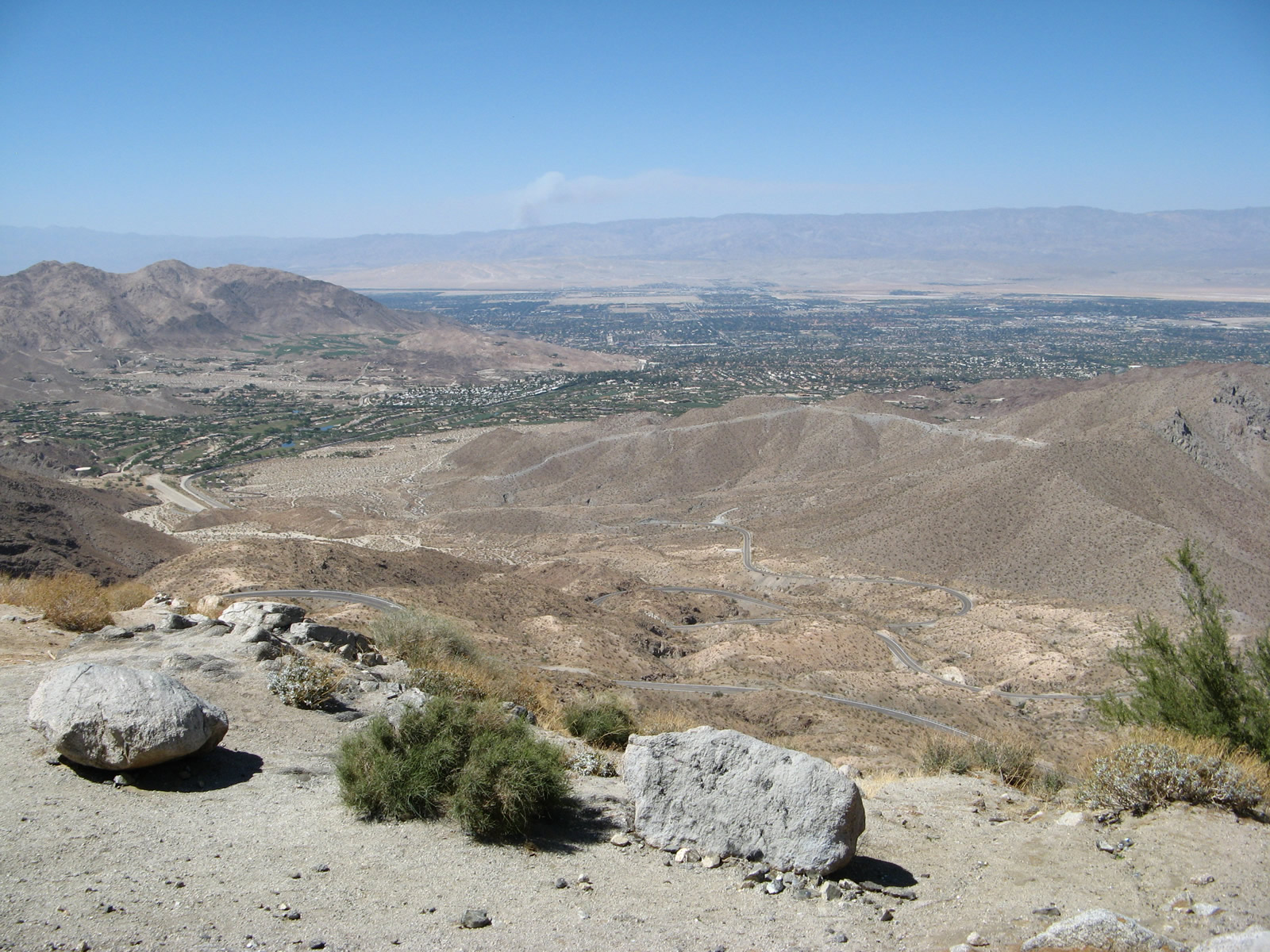
Overlooking Seven Level Hill, the Coachella Valley Vista Point offers views of the surrounding Coachella Valley, distant Indio Hills, and the various cities that occupy the valley. Downhill from here is a series of seven switchbacks on California 74 that lead into Palm Desert.
06/07/08
Photo Credits:
- Andy Field: 04/18/04, 08/10/04, 07/15/07, 03/09/08, 06/07/08
Connect with:
Page Updated Wednesday October 17, 2012.