
State Route 76 East - Pala to Lake Henshaw
Traveling east from Interstate 15, SR 76 initially proceeds with four lanes. Widening of this segment of the route was completed in 2009-10. The community of Pala lies six miles ahead.
11/11/10
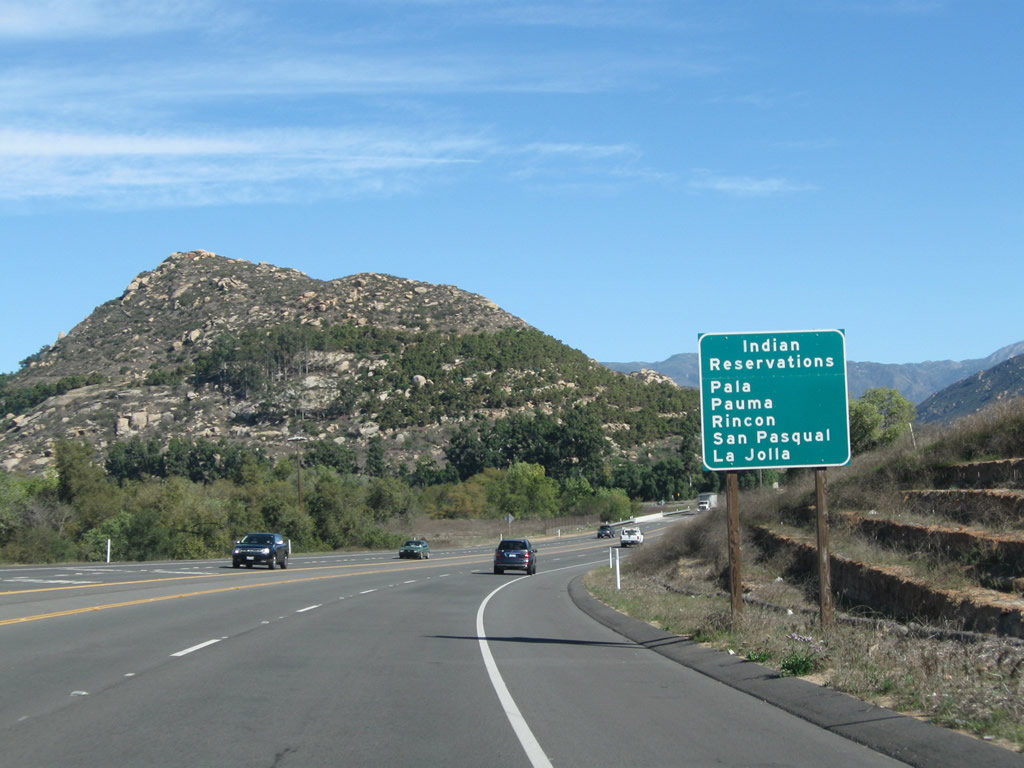
SR 76 serves several Indian reservations: Pala, Pauma, Rincon, San Pasqual and La Jolla.
11/11/10
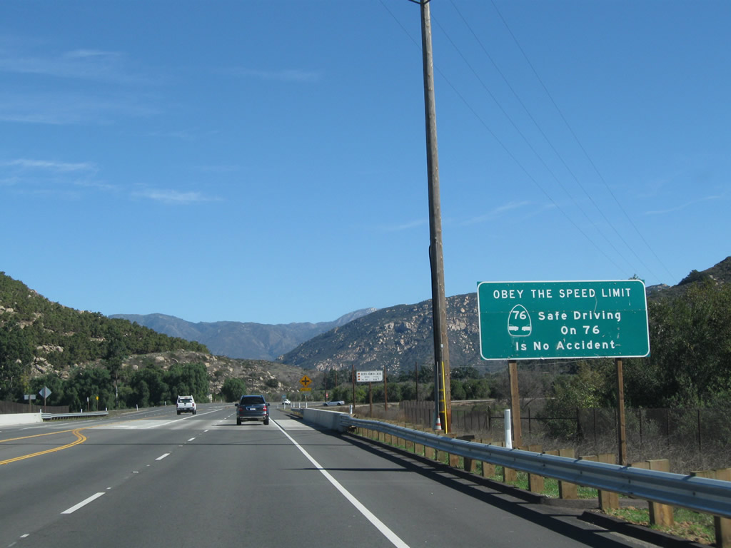
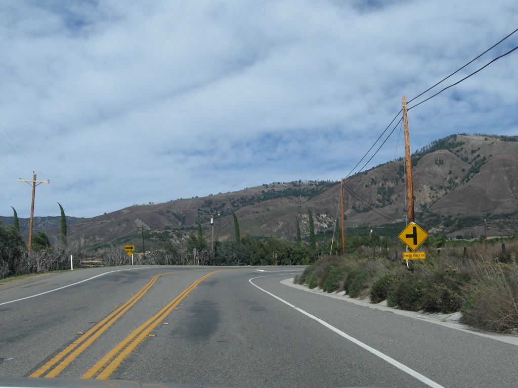
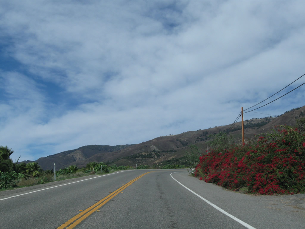
The divided section of SR 76 concludes just east of the bridge across Horse Ranch Creek. The entirety of the route east to Lake Henshaw is a highway safety corridor.
11/11/10
Pankey Road intersects SR 76 just ahead of this eastbound reassurance marker.
11/11/10
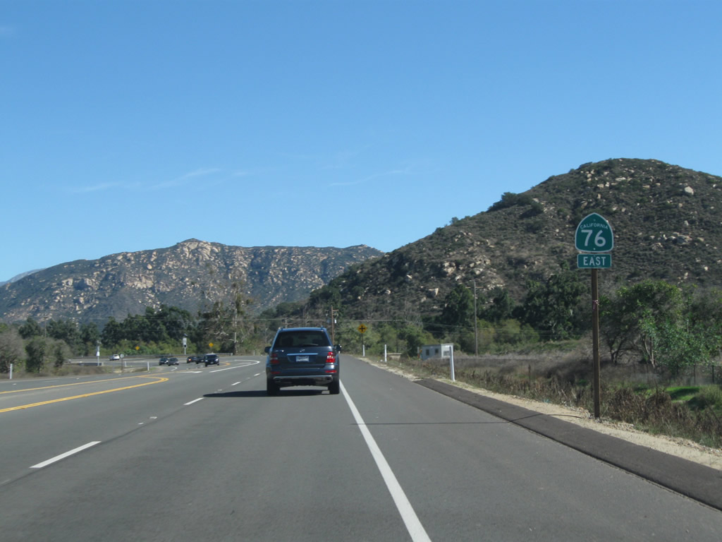
Construction of Horse Ranch Creek Road north from SR 76 by 2015 added a signalized intersection just ahead of the reduction of lanes from four to two.
11/11/10
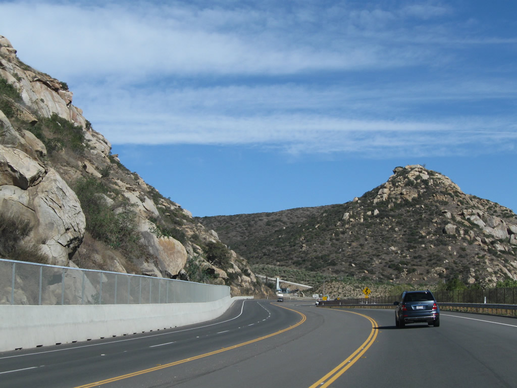
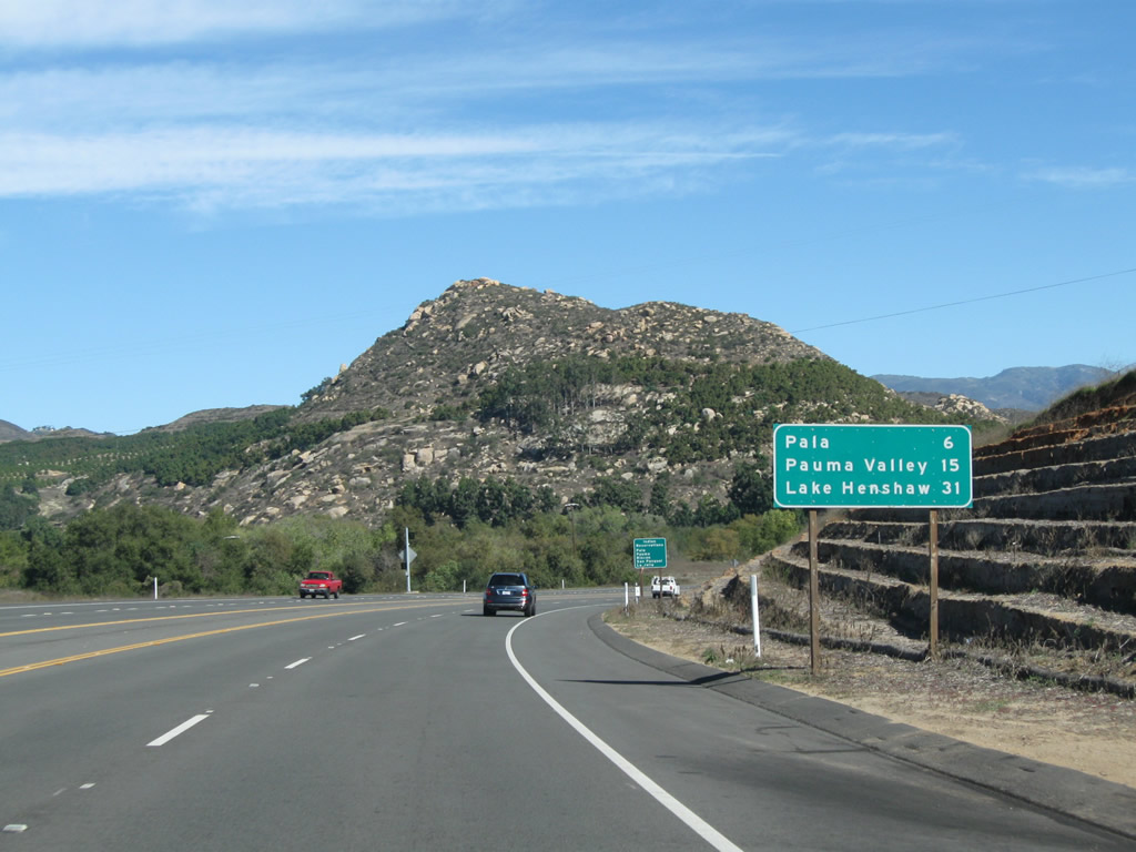
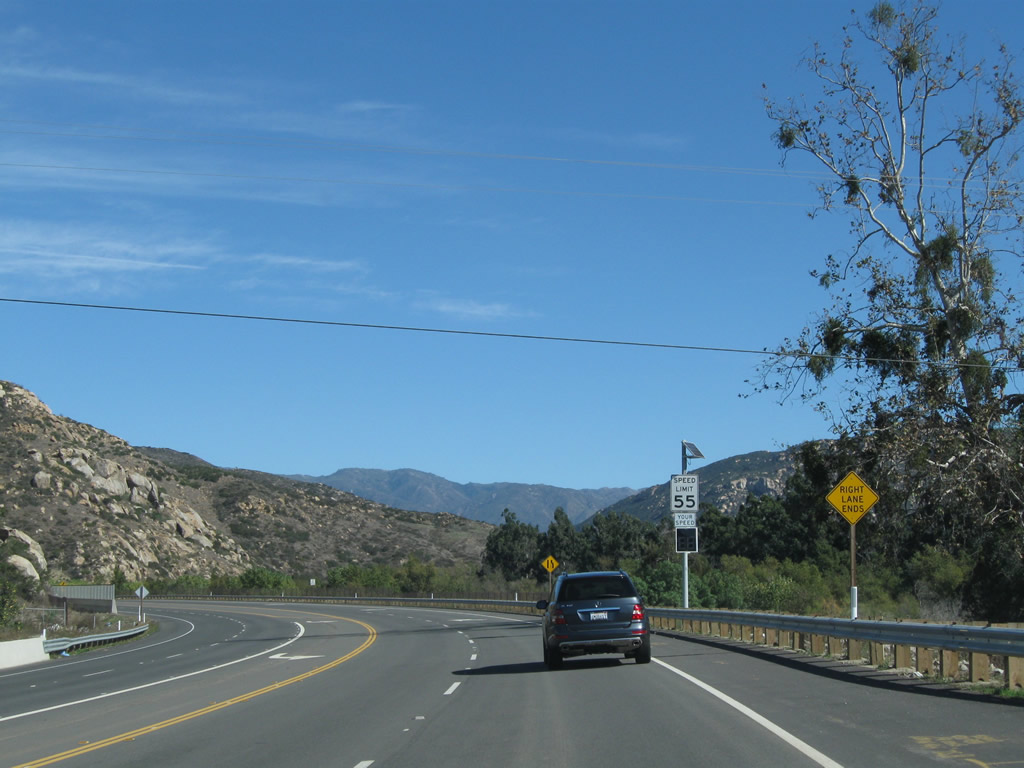
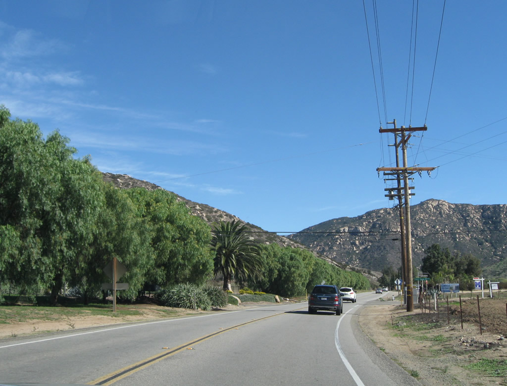
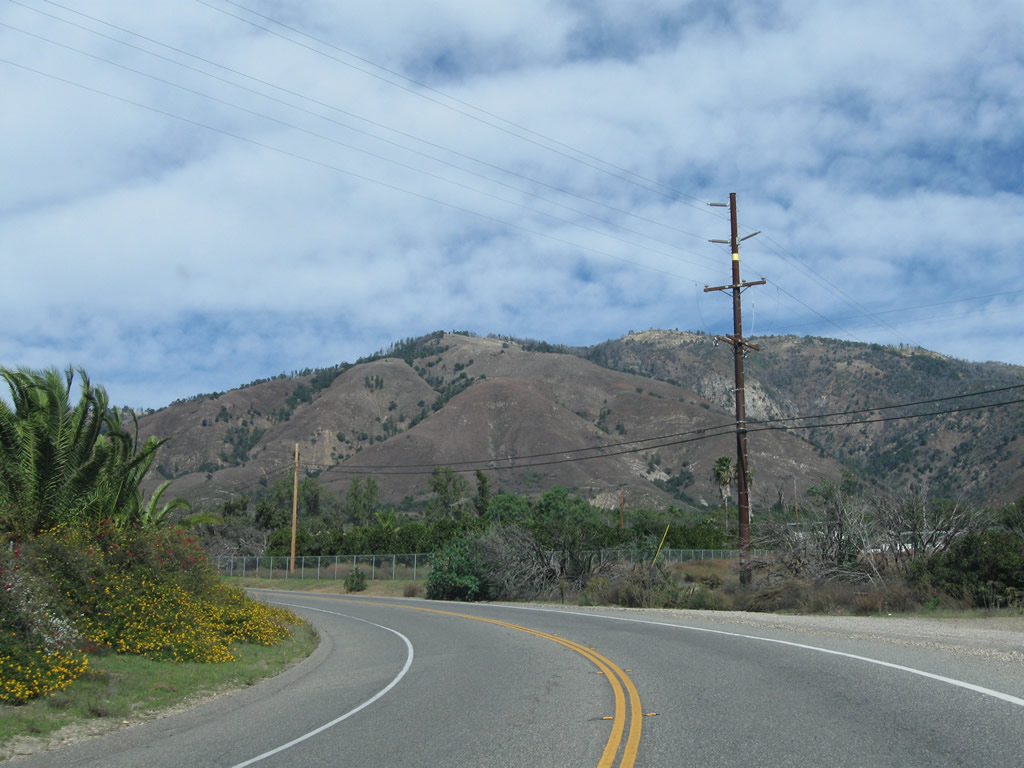
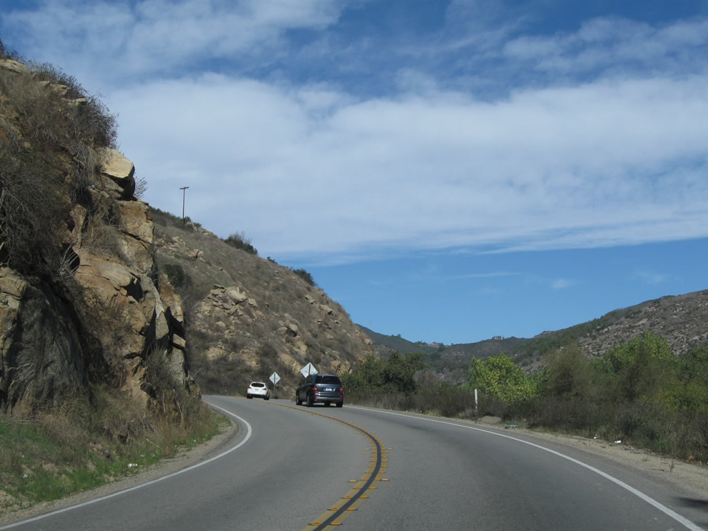
SR 76 navigates along a winding course to circumvent the southern slopes of Monserate Mountain.
11/11/10
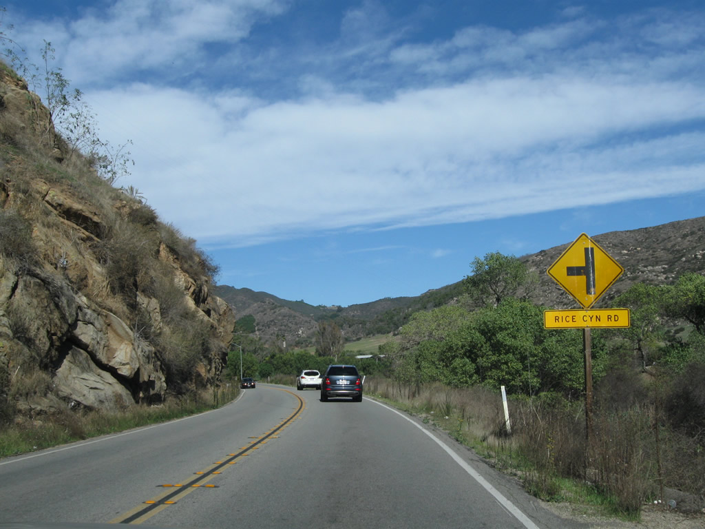
Rice Canyon Road stems north from SR 76 into Rice Canyon along eastern reaches of Monserate Mountain.
11/11/10
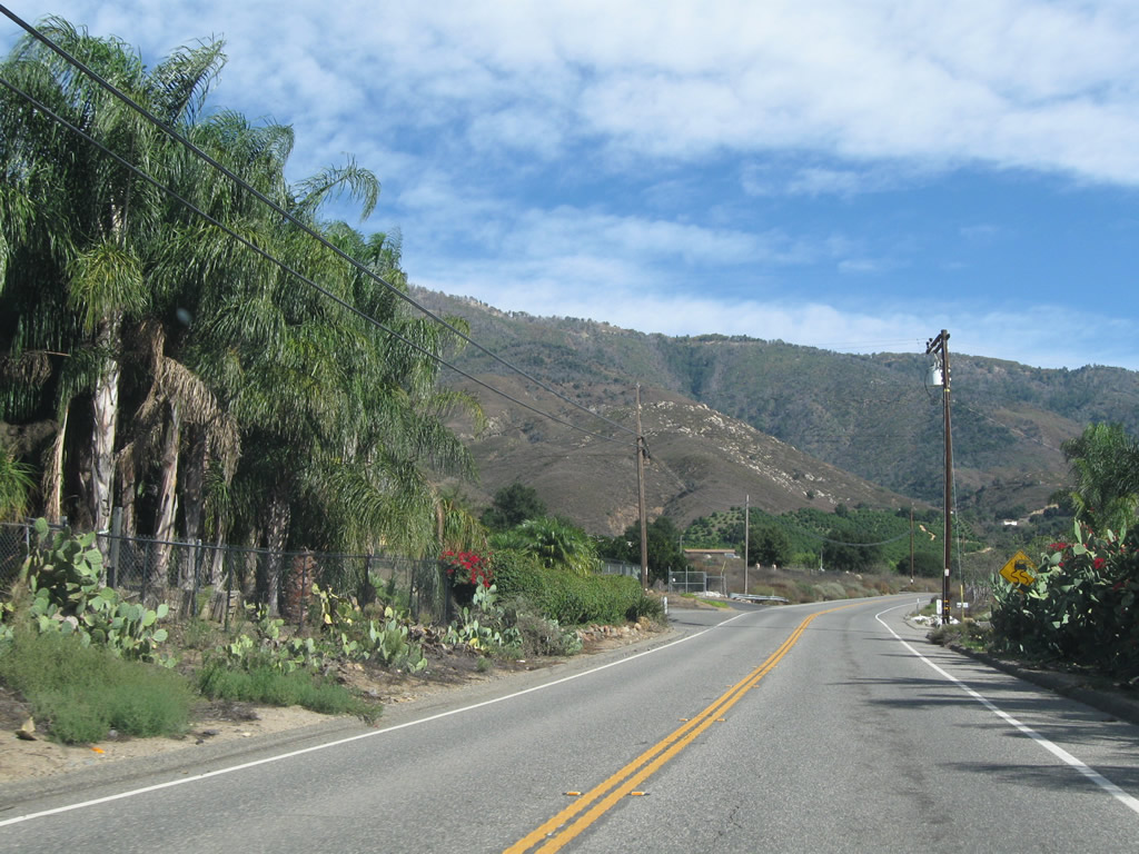
Turning east from Monserate Mountain, SR 76 advances across agricultural areas including farms and orchards.
11/11/10
SR 76 straddles the south slopes of hills overlooking the San Luis Rey River valley leading east into Pala.
11/11/10
Tourmaline Queen Mountain, Chief Mountain and other peaks rise to the north of Pala as SR 76 continues eastward.
11/11/10
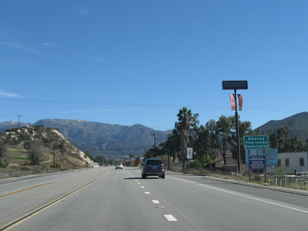
Eastbound SR 76 enters the Pala Indian Reservation
11/11/10
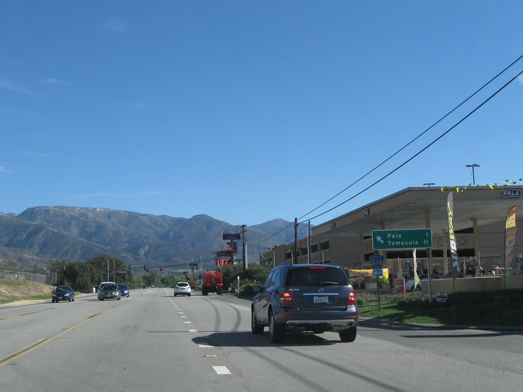
County Route S-16 (Pala Mission Road) branches northward from SR 76 opposite the driveway into Pala Casino.
11/11/10
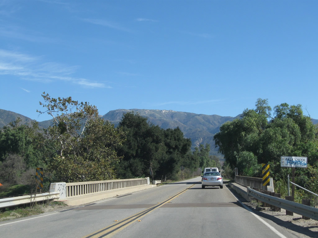
This vintage span carrying SR 76 across Pala Creek was replaced in 2011.
11/11/10
SR 76 runs just south of the small Pala street grid, intersecting Britain Road in this scene. Pala Mission Road (CR S-16) travels through the heart of the rural community.
11/11/10
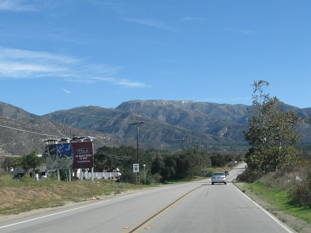
Continuing east, SR 76 east merges with Pala Mission Road (former SR 76). The two lane highway can be quite busy and congested along this stretch.
11/11/10
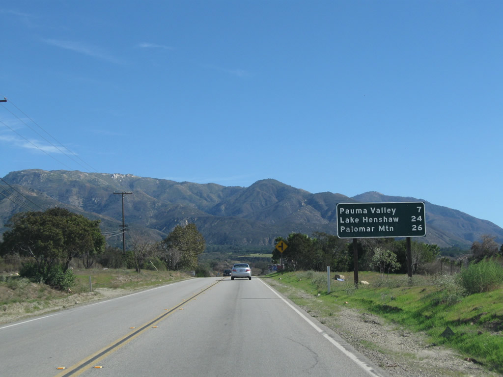
Leaving Pala, SR 76 travels seven miles east to Pauma Valley and 24 miles to Lake Henshaw. Palomar Mountain is a 26 mile drive via CR S-6 north.
11/11/10
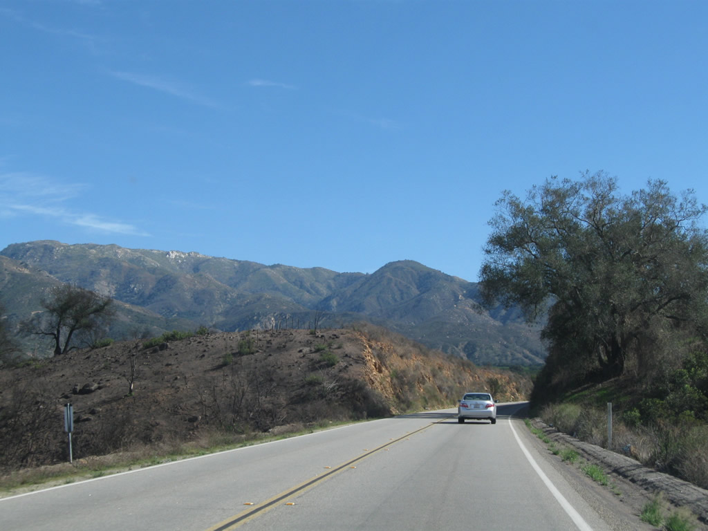
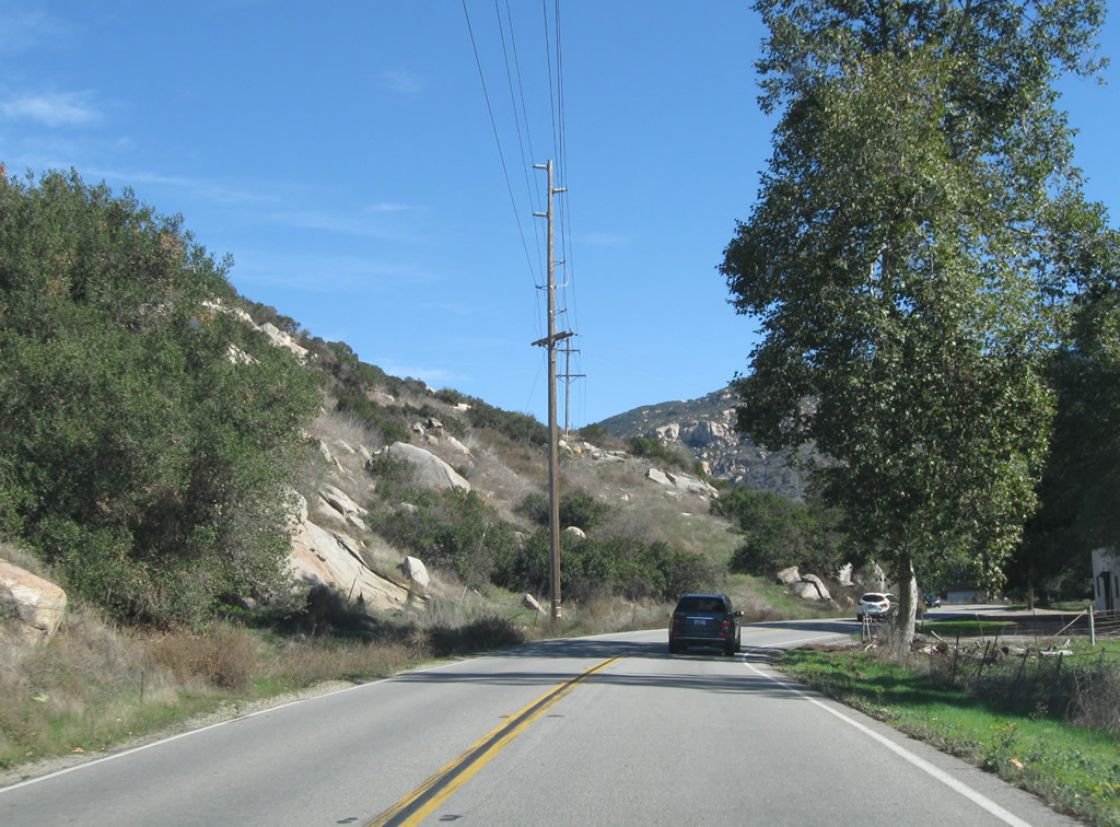
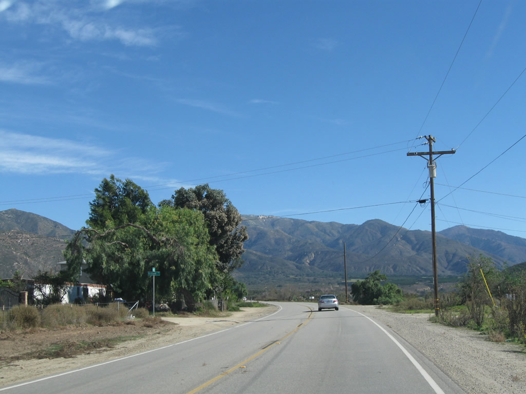
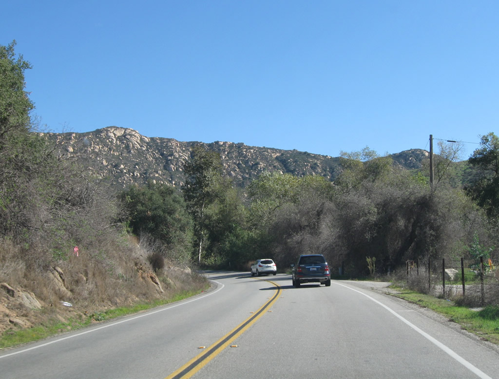
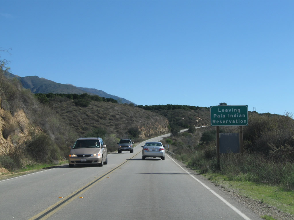
Advancing east, SR 76 east leaves Pala Indian Reservation through Marion Canyon ahead of Palomar Mountain and areas of Cleveland National Forest.
11/11/10

SR 76 angles southeast into the unincorporated community of Pauma Valley.
11/11/10
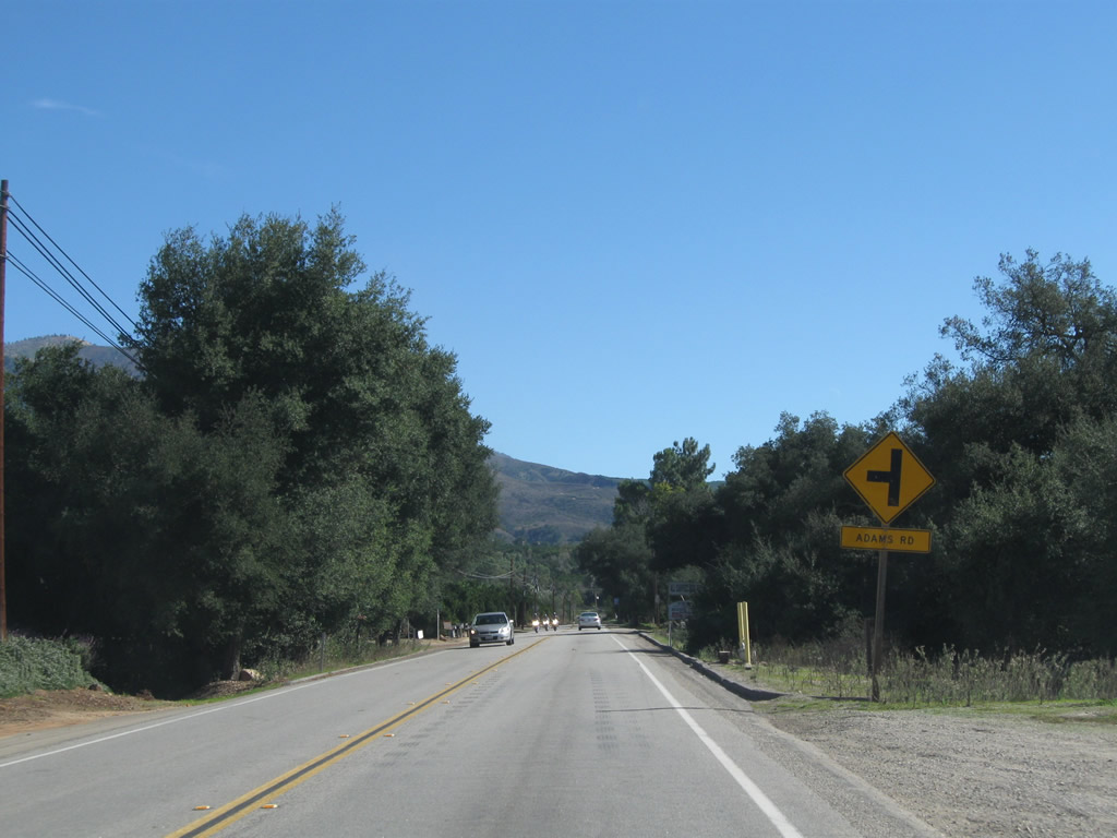
Eastbound SR 76 approaches Adams Road, a rural loop east to nurseries and orchards along the foothills of Palomar Mountain.
11/11/10
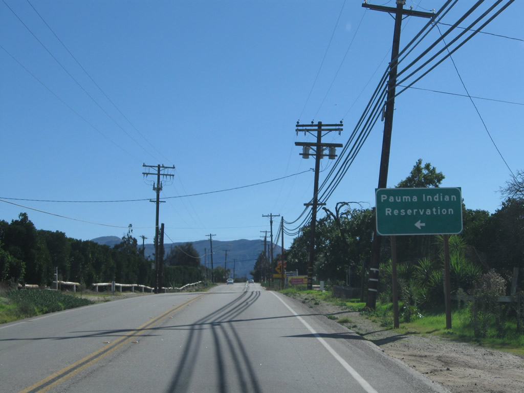
Pauma Reservation Road stems east from SR 76 to Casino Pauma and Pauma Indian Reservation.
11/11/10
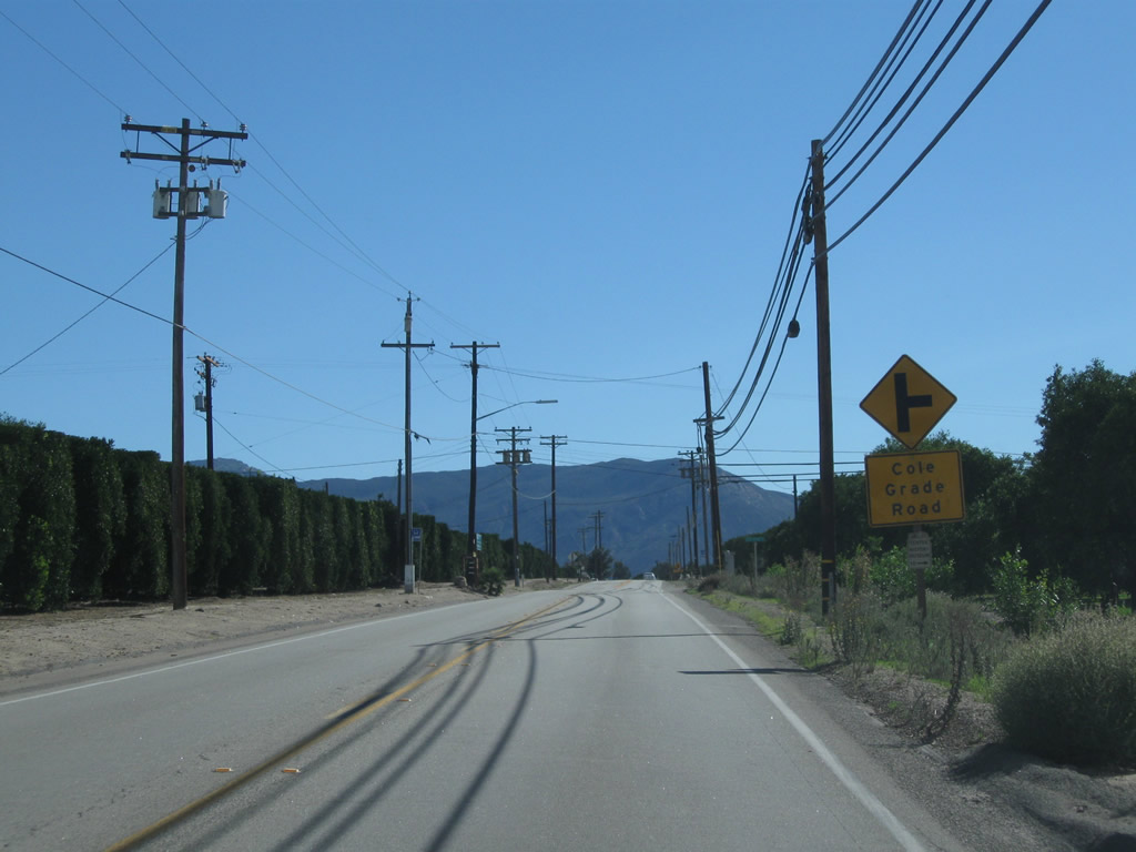
Cole Grade Road angles southwest from SR 76 onto the plateau rising southwest of Pauma Valley.
11/11/10
Orchards and ranches line both sides of SR 76 in Pauma Valley as the state route continues southward by Pauma Valley Country Club.
11/11/10
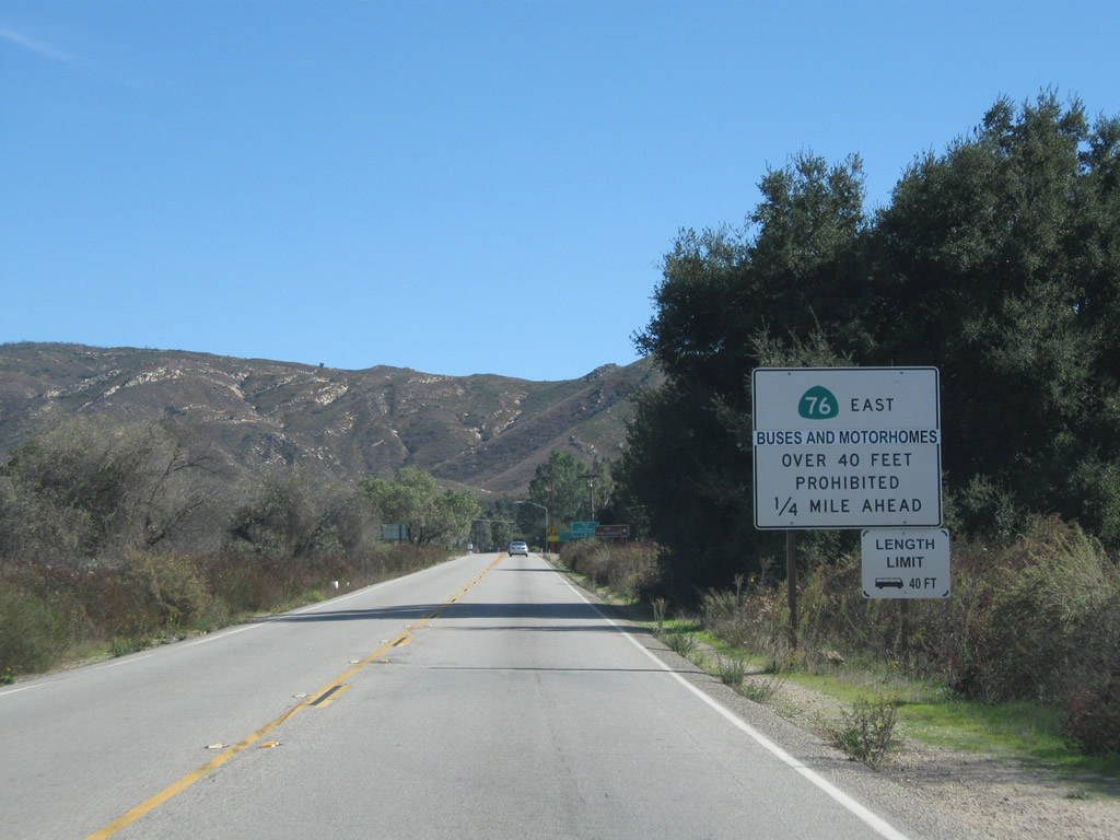
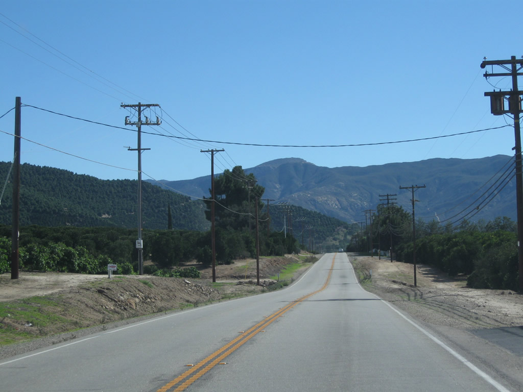
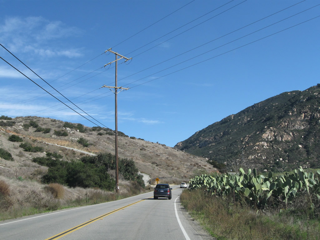
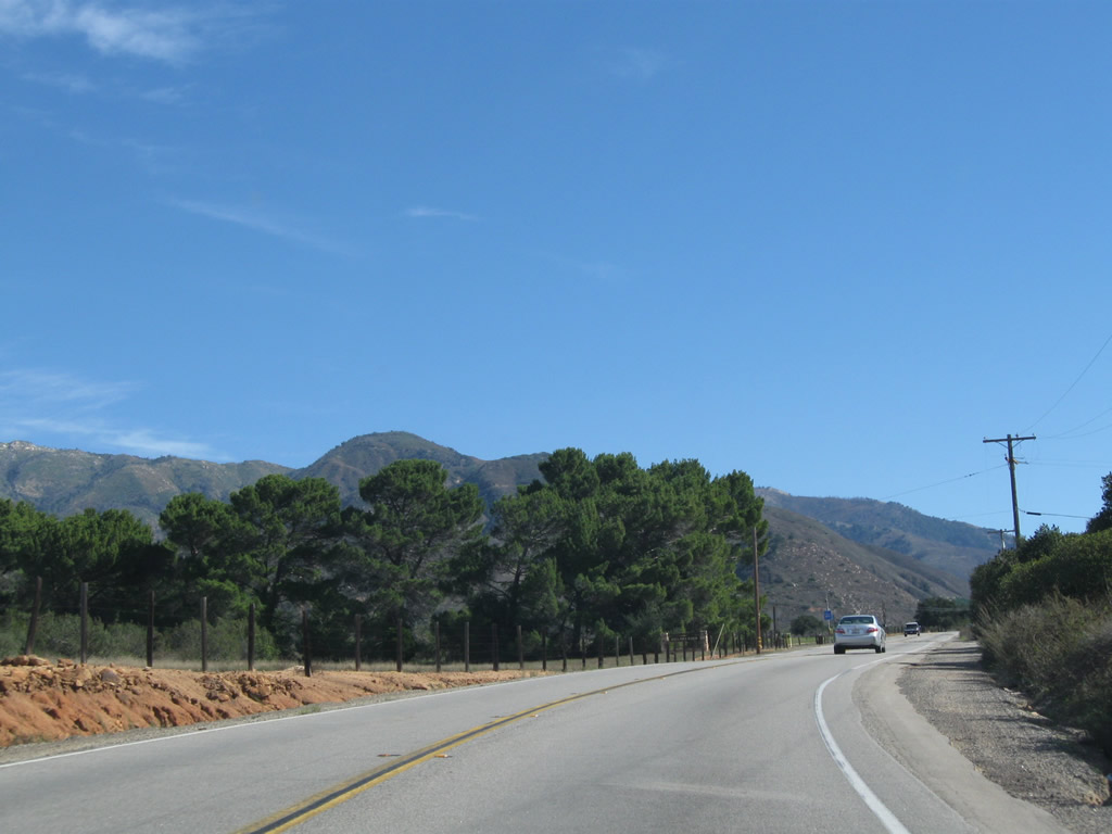
Exiting Pauma Valley, SR 76 reaches the settlement of Rincon, where the route commences a winding course northeast toward Palomar Mountain that prohibits buses and recreational vehicles.
11/11/10
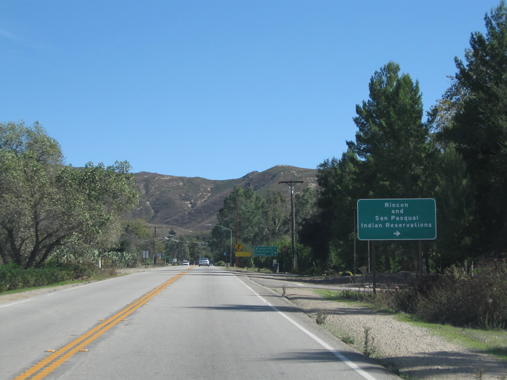
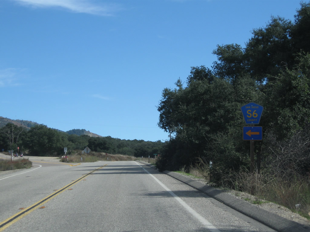
County Road S-6 (Valley Center Road) ventures south from the approaching intersection to Valley Center, Rincon Indian Reservation, and San Pasqual Indian Reservation. CR S-6 also leads to Harrah's Rincon Casino & Resort and Valley View Casino.
11/11/10
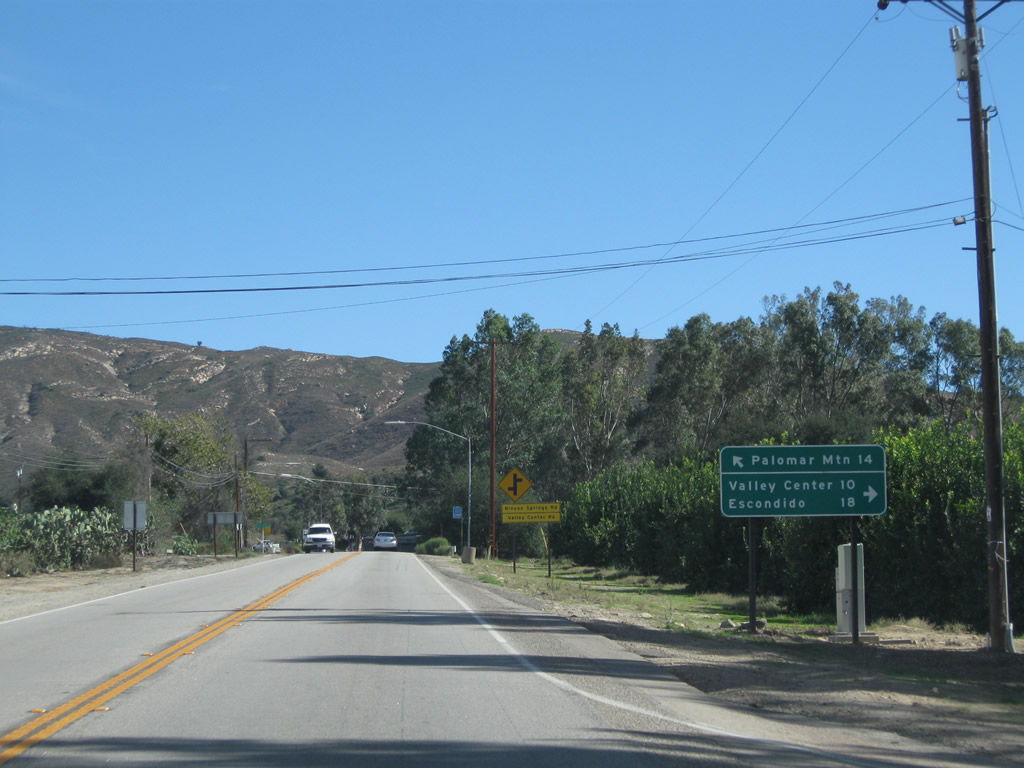
County Road S-6 links the Palomar Mountain and Pauma Valley area with Escondido 18 miles to the southwest.
11/11/10

SR 76 crosses Yuima Creek ahead of the intersection with CR S-6 (Valley Center Road) south in Rincon.
11/11/10
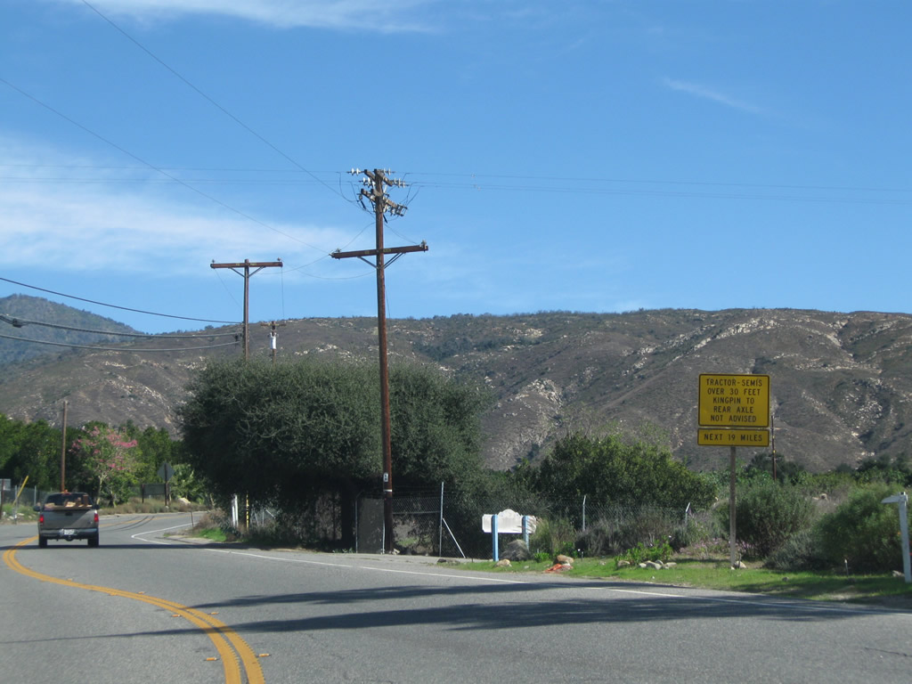
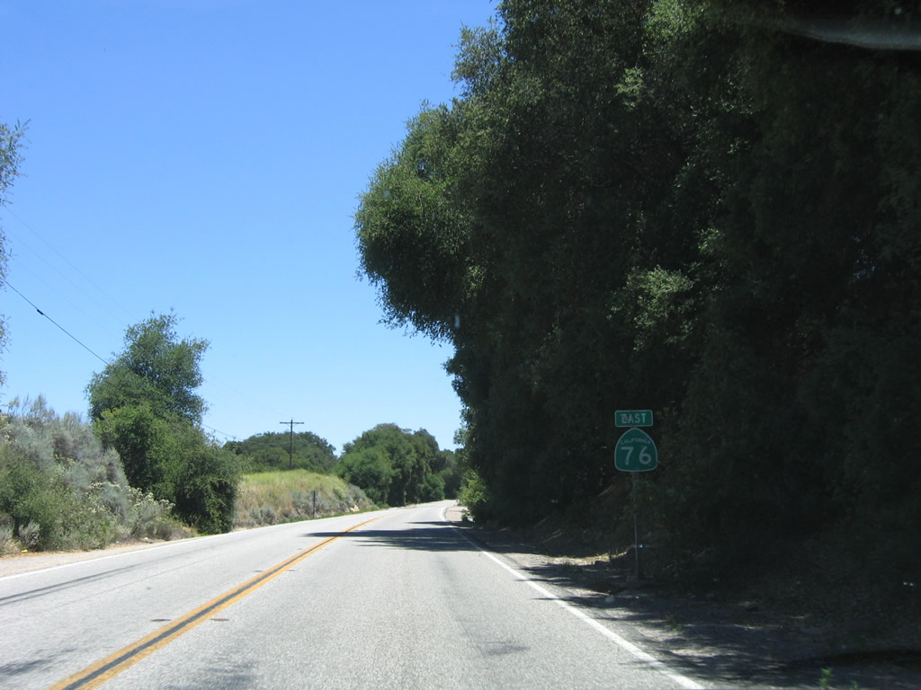
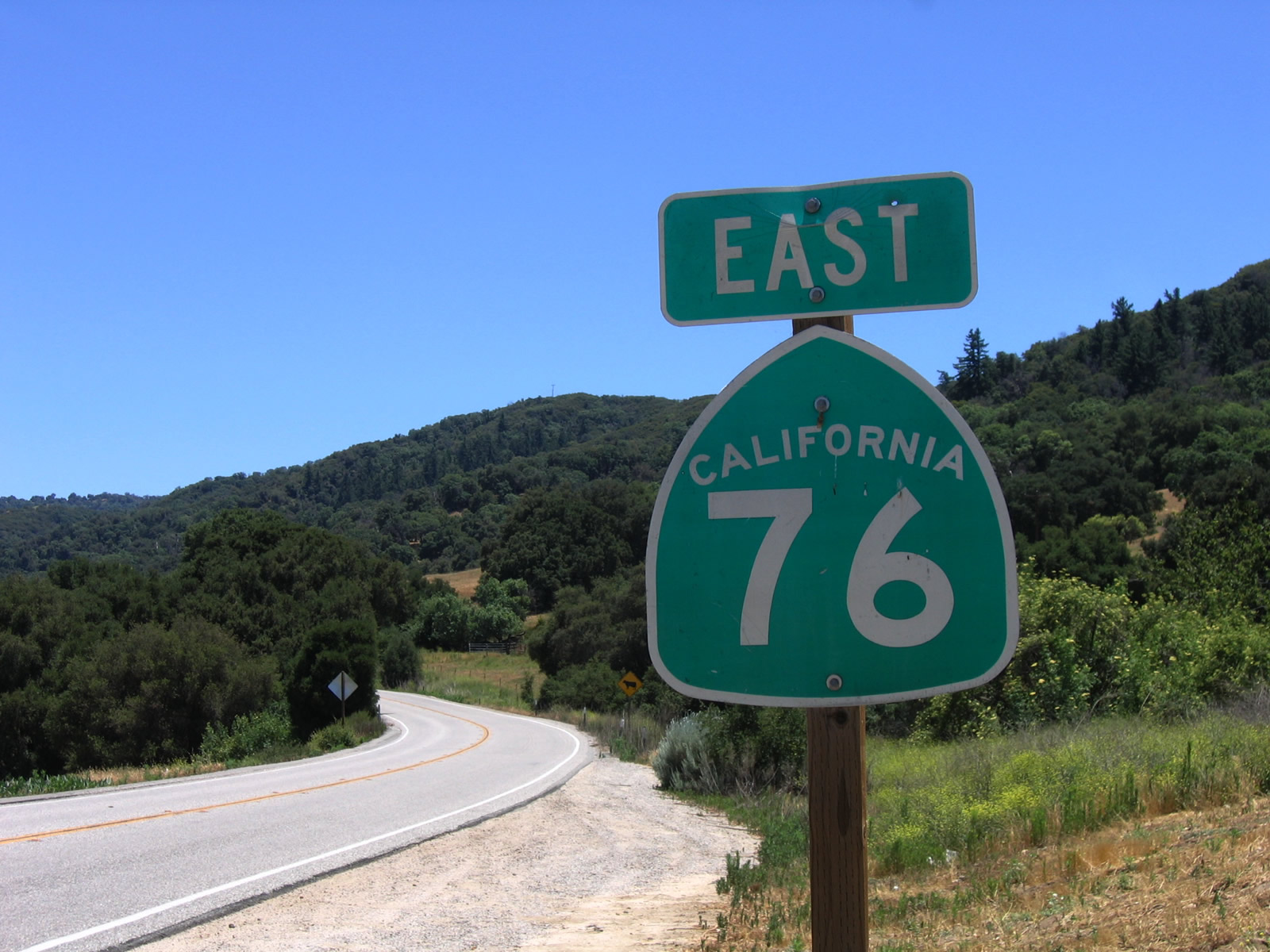
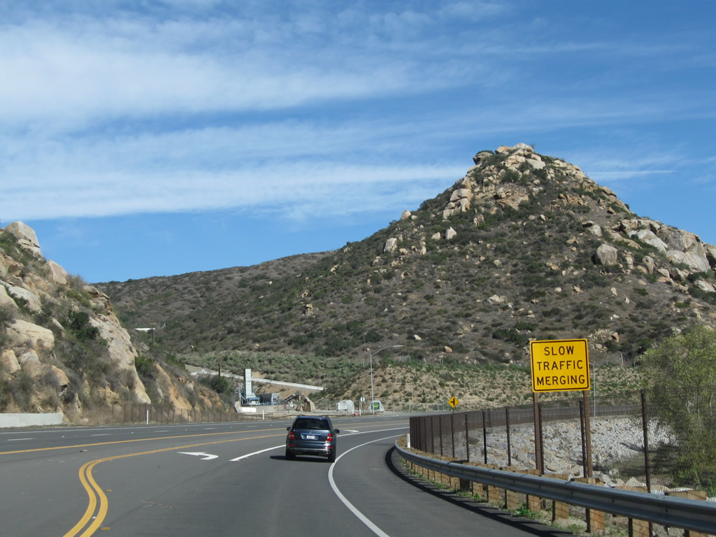
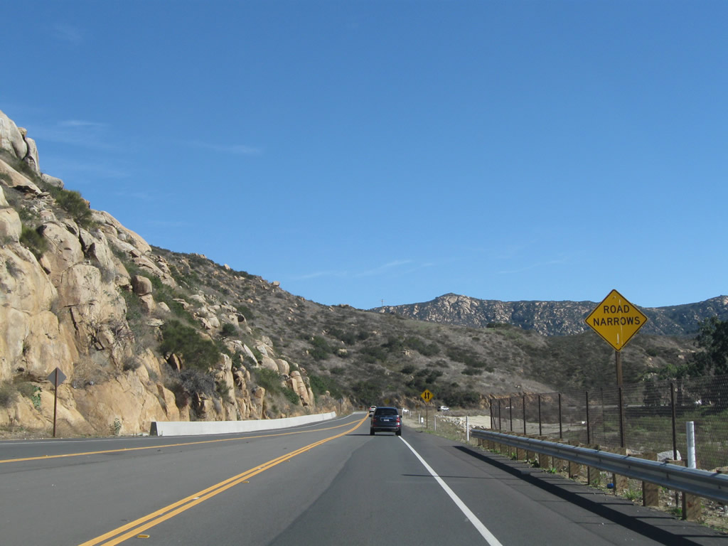
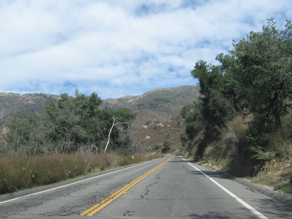
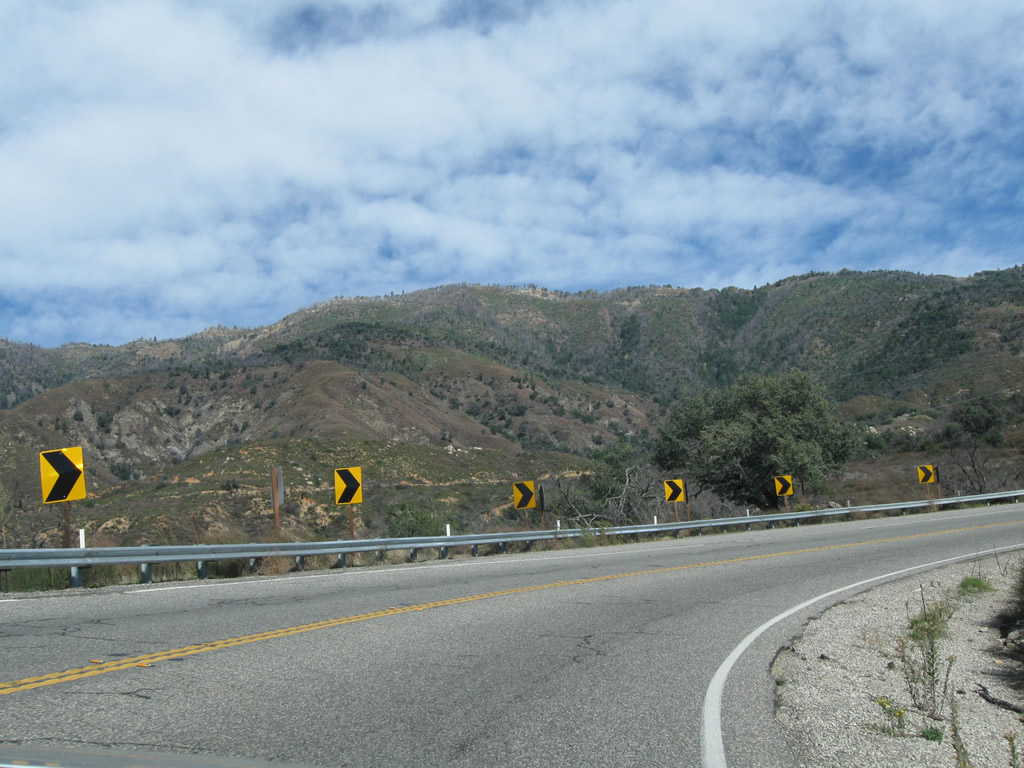
An implied overlap takes CR S-6 east five miles alongside SR 76 into the foothills of Palomar Mountain. The ensuing 19 miles of SR 76 are not advised for semi trucks and other large vehicles due to numerous hairpin curves and switchbacks.
11/11/10
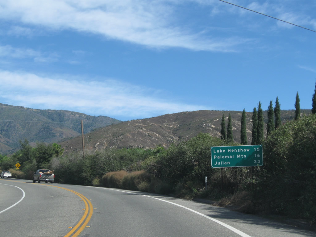
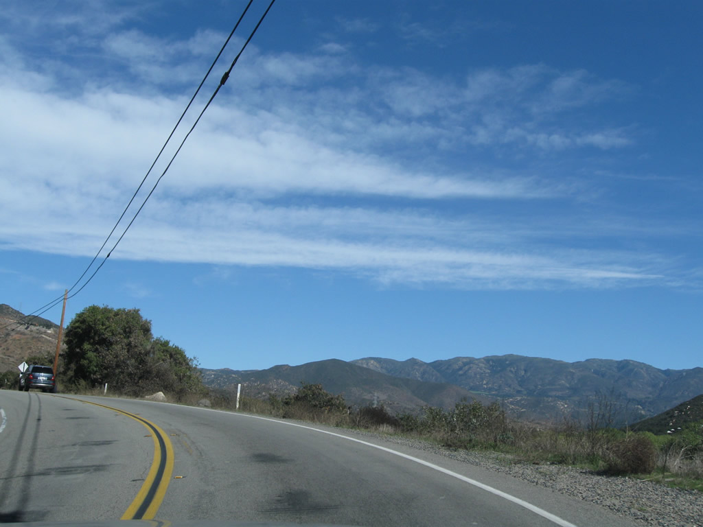
SR 76 travels 15 miles from Rincon to Lake Henshaw. Palomar Mountain lies 16 miles to the north via the continuation of CR S-6. Julian is 33 miles to the southeast via SR 79 beyond the end of SR 76.
11/11/10
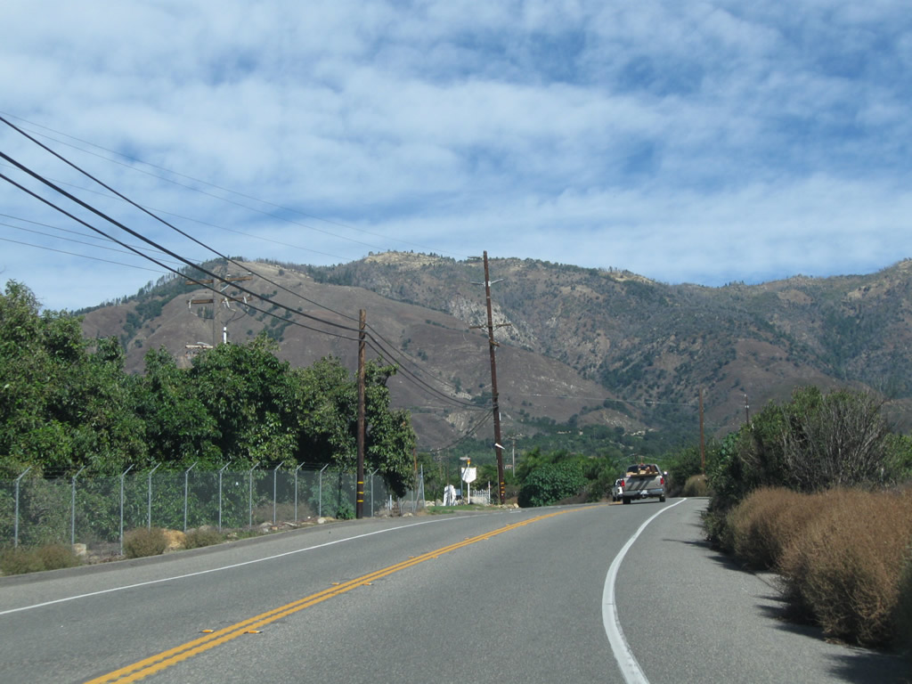
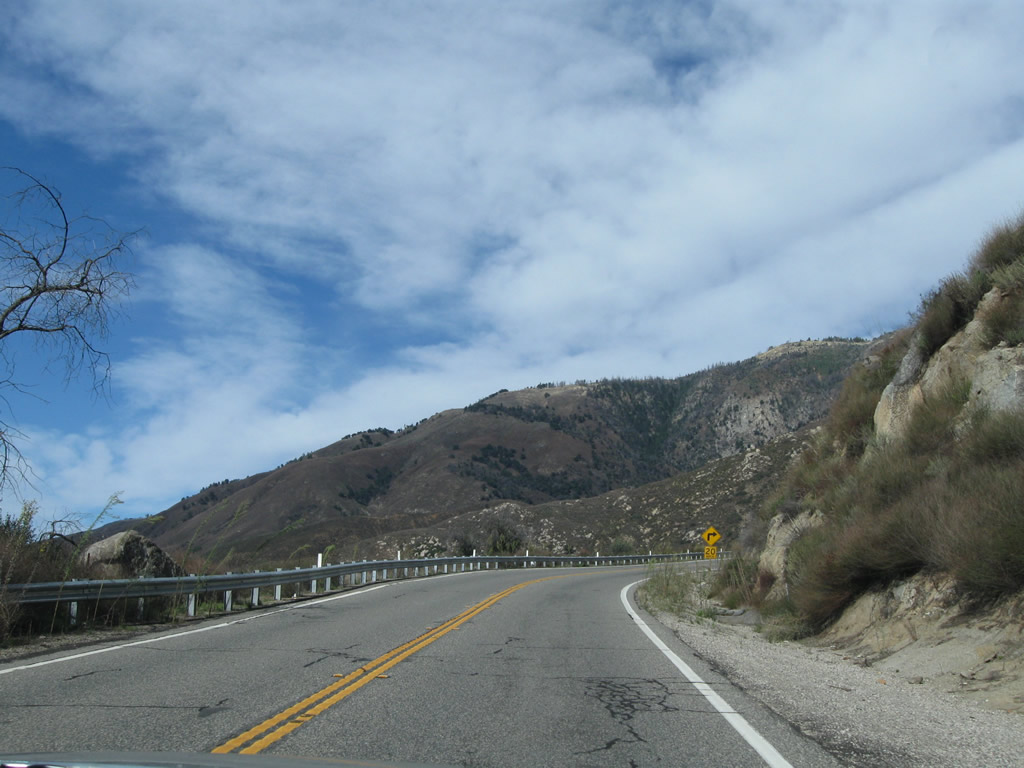
SR 76 gains over 1,600 feet in elevation from Rincon east to the split with County Road S-6 (South Grade Road).
11/11/10
Rincon Ranch Road stems north from SR 76 to a number of orchards beyond parallel Yuima Creek.
11/11/10
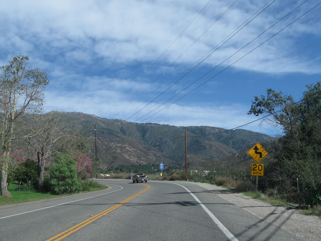
Proceeding uphill along SR 76 east & County Route S-6 north toward their divide at South Grade Road.
11/11/10
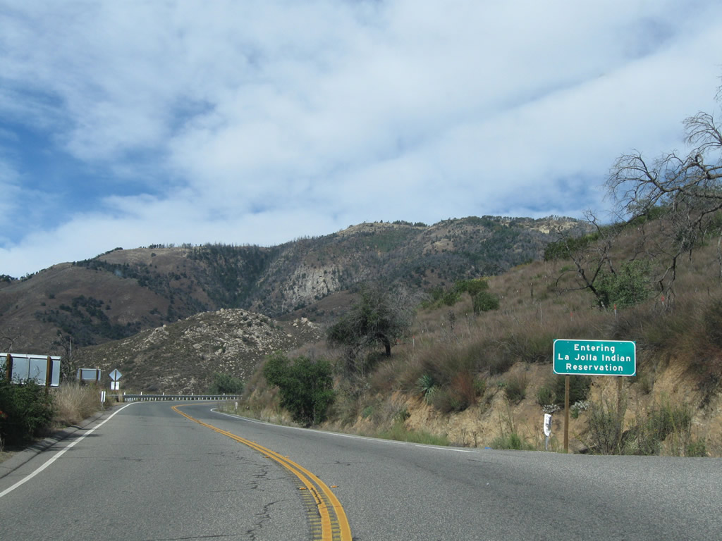
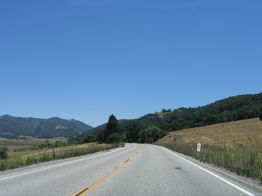
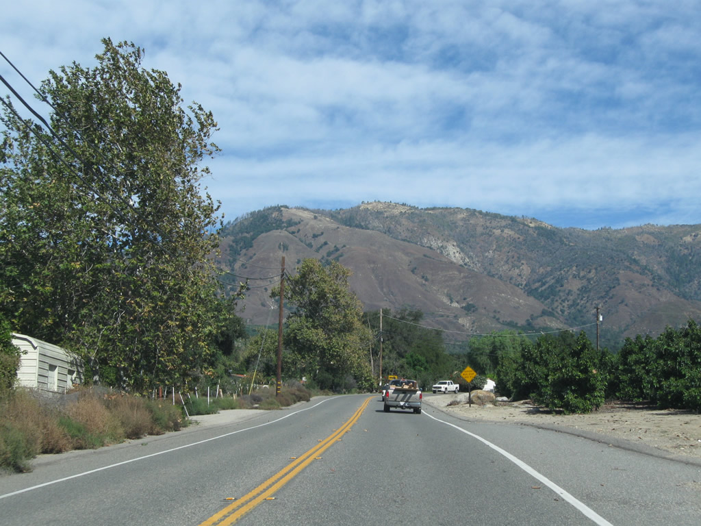
Paloma Mountain comes into view as SR 76 east enters La Jolla Indian Reservation.
11/11/10
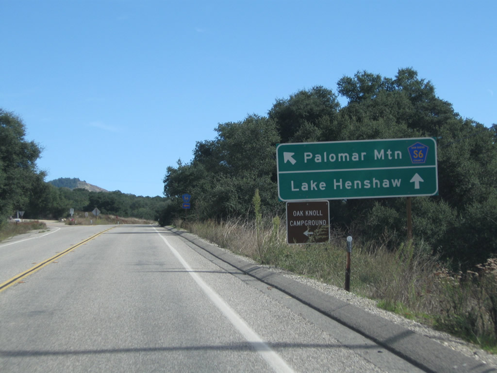
County Route S-6 (South Grade Road) branches east from SR 76 at a wye intersection. South Grade Road leads CR S-6 by a number of private residences on Palomar Mountain as well as Palomar Mountain State Park and Palomar Observatory.
11/11/10
County Route S-6 takes a winding course 11.3 miles north to end at the entrance to Palomar Observatory.
11/11/10
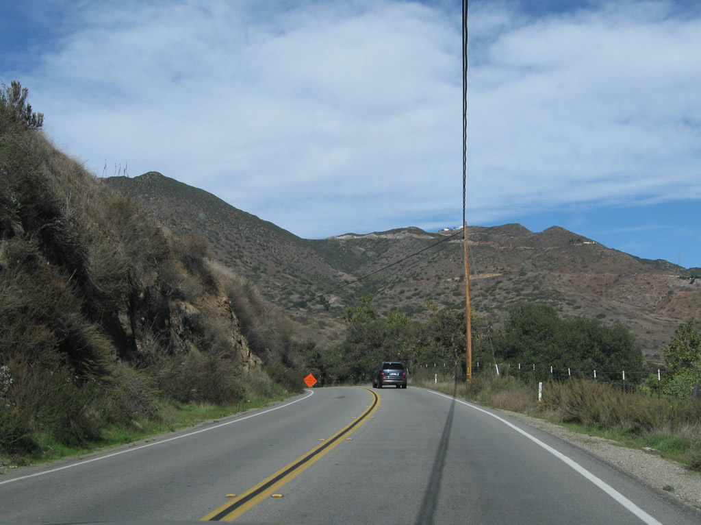
SR 76 continues eastward from San Diego County Route S-6 (South Grade Road) toward Lake Henshaw, Santa Ysabel and Julian.
06/16/06
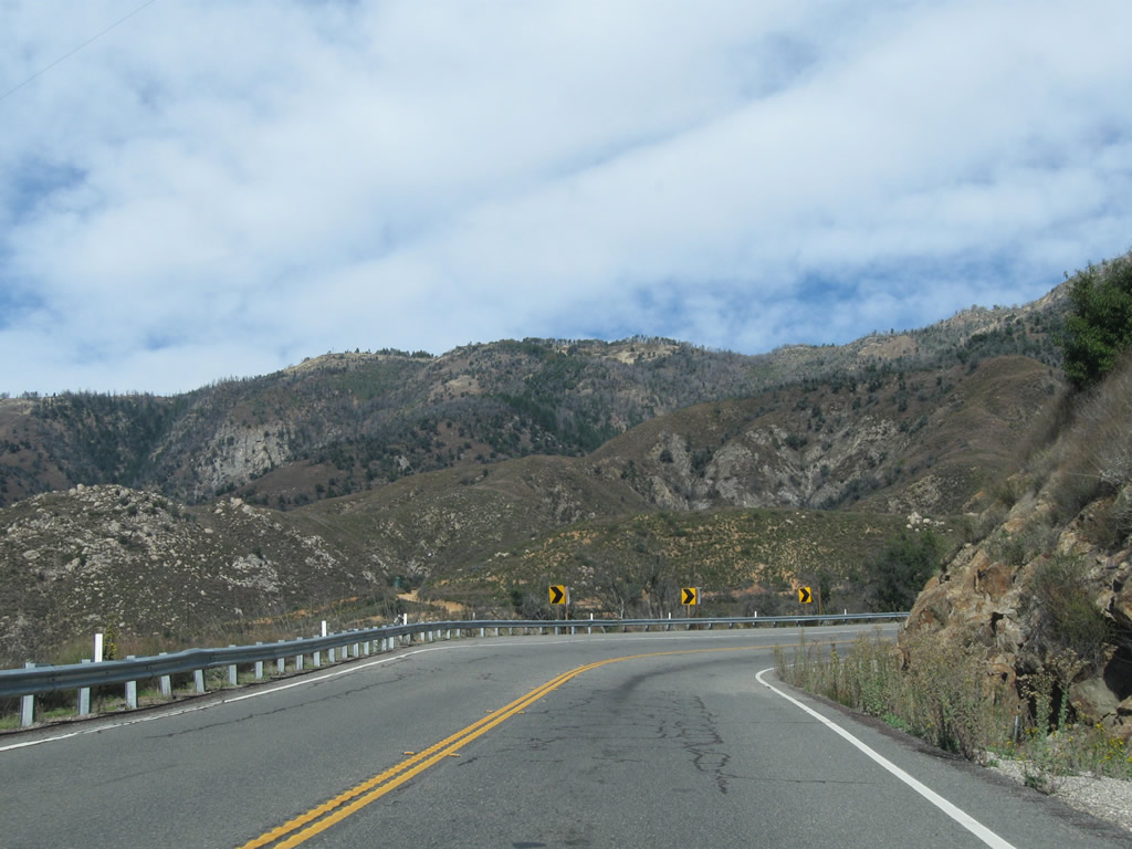
The eastern extend of SR 76 is fairly remote, serving recreation traffic while linking rural communities in San Diego County's backcountry with the urbanized areas closer to the coast. The highway heads through eastern reaches of La Jolla Indian Reservation toward Lusardi Canyon.
06/16/06
This SR 76 east reassurance shield was posted at Lake Henshaw Resort, which is located on the west side of the highway near Angel Mountain. The assembly was removed by 2015 and replaced with a bus stop sign.
06/16/06
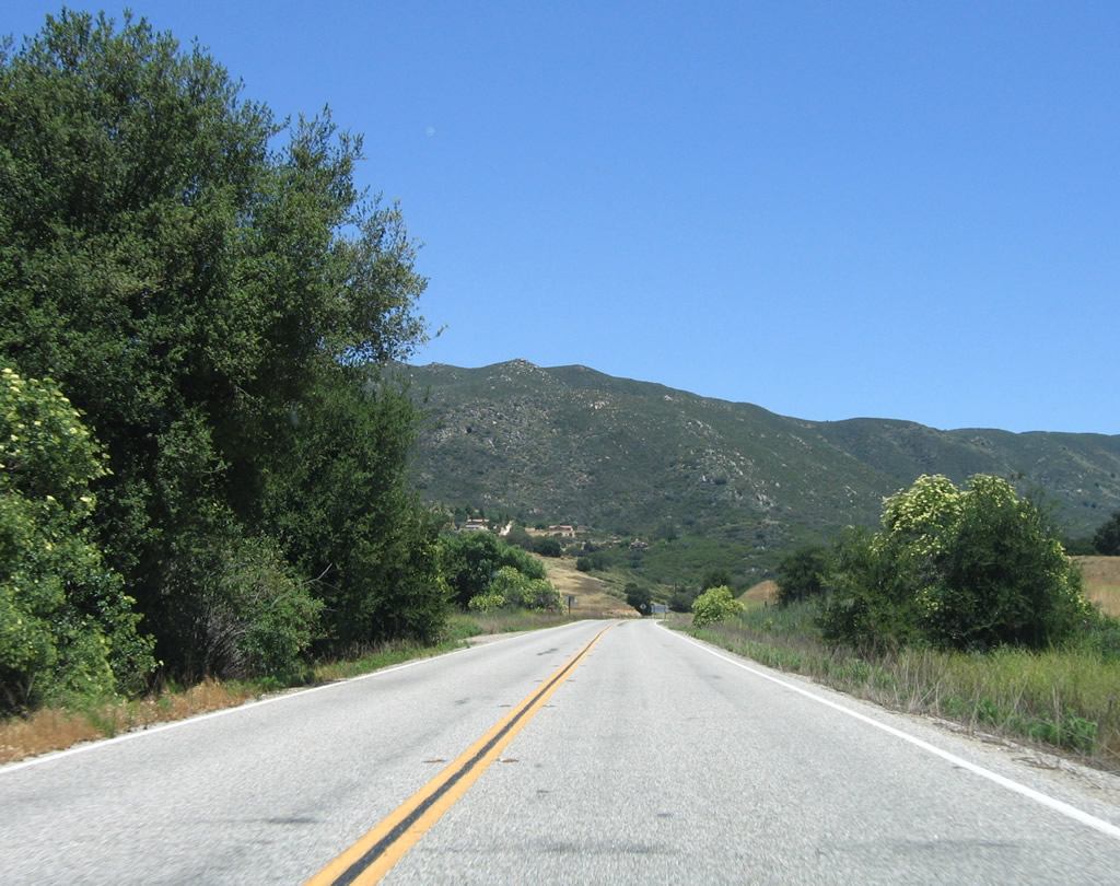
SR 76 runs through meadows between the western periphery of Lake Henshaw and the eastern slope of Angel Mountain.
06/16/06
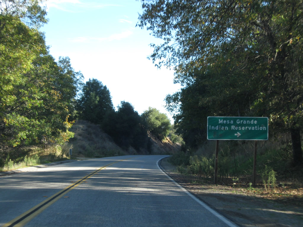
Eastbound SR 76 approaches the turnoff for Mesa Grande Road to the Mesa Grande Indian Reservation.
06/16/06
The Volcan Mountains rise to the east as SR 76 advances toward Morettis Junction and SR 79.
06/16/06
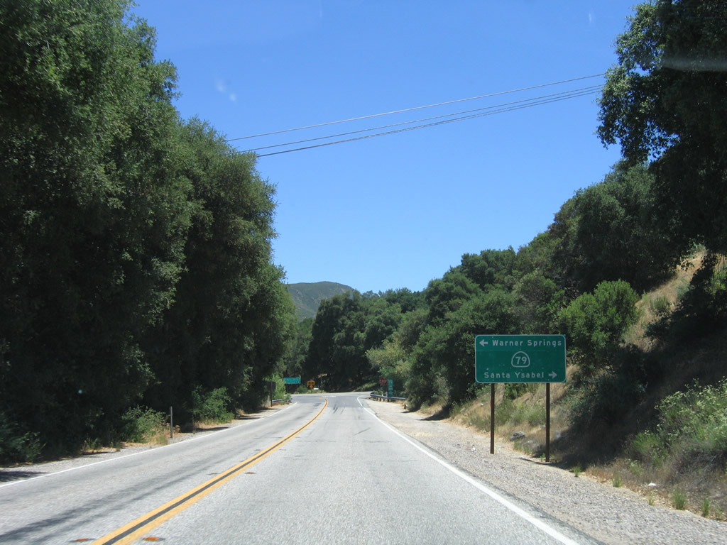
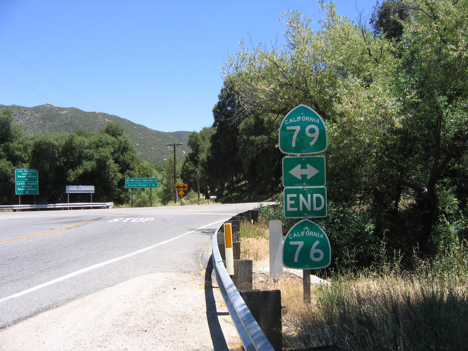
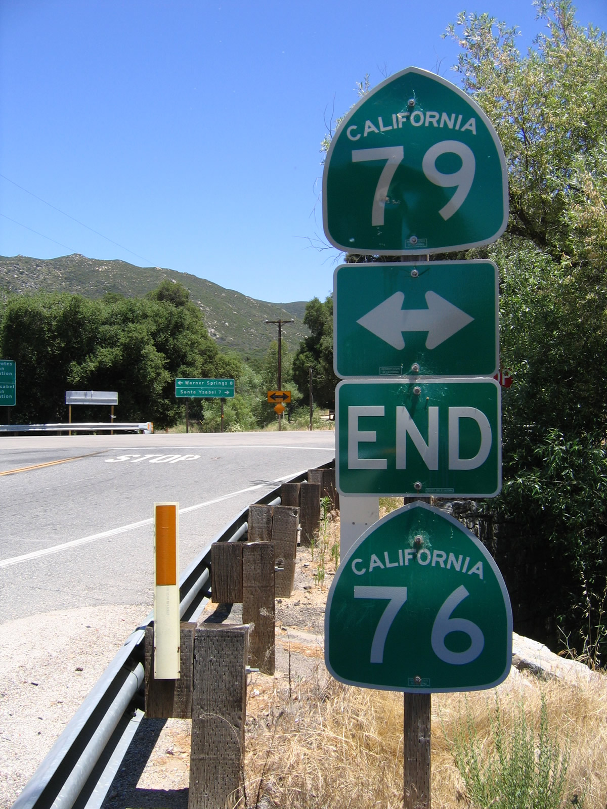
SR 76 concludes at SR 79, eight miles south of Warner Springs and seven miles north of Santa Ysabel.
06/16/06
An end shield for SR 76 stands at the rural intersection with SR 79 at Morettis Junction.
06/16/06
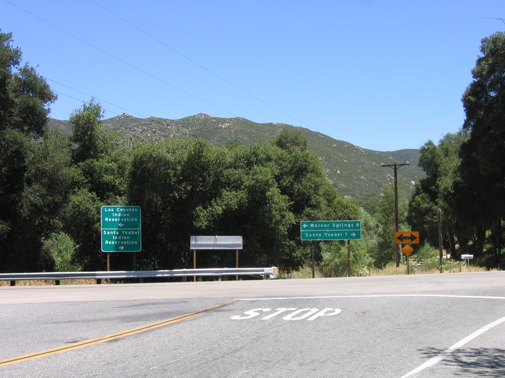
SR 79 travels north toward Los Coyotes Indian Reservation en route to Warner Springs, Sunshine Summit and Temecula. Southward, the state route continues through Santa Ysabel Indian Reservation to SR 78, Julian and Cuyamaca.
06/16/06
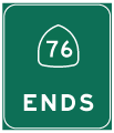
Photo Credits:
- Andy Field: 06/16/06, 11/11/10
Connect with:
Page Updated Tuesday July 17, 2018.