
State Route 90
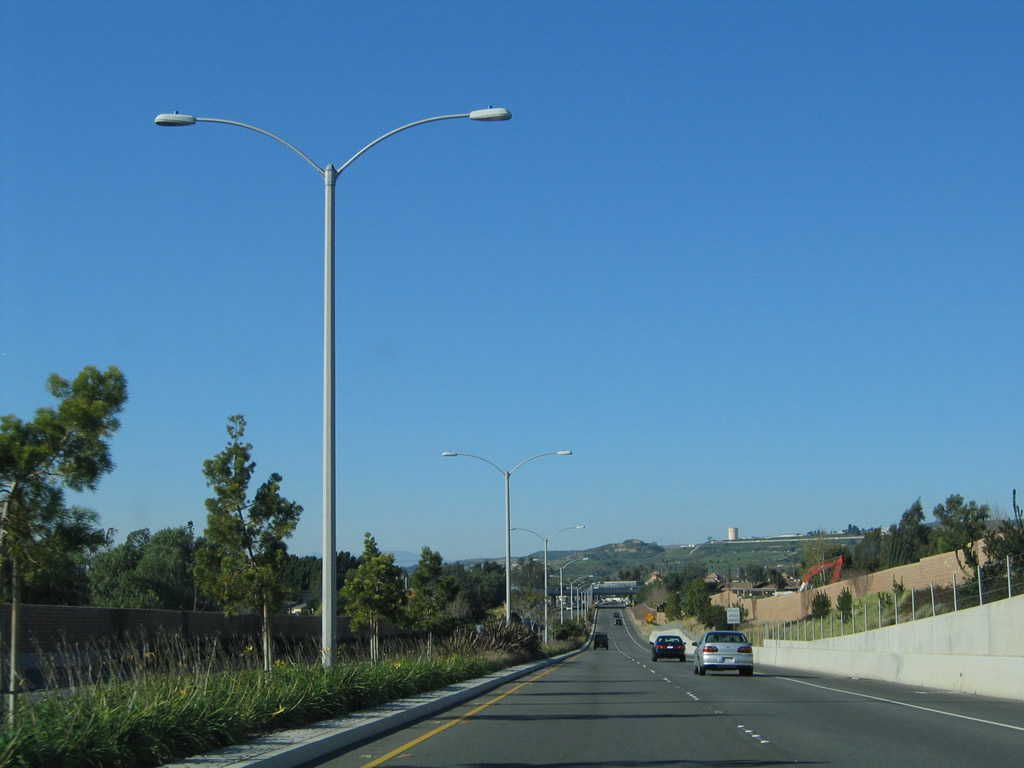
The city of Yorba Linda maintains a section of SR 90, including the four-lane Richard M. Nixon Parkway. The parkway has an interchange at Kellogg Drive, but unlike a typical Southern California freeway, it includes a landscaped median, beautified parkways and lowered speed limits. - 01/30/2005
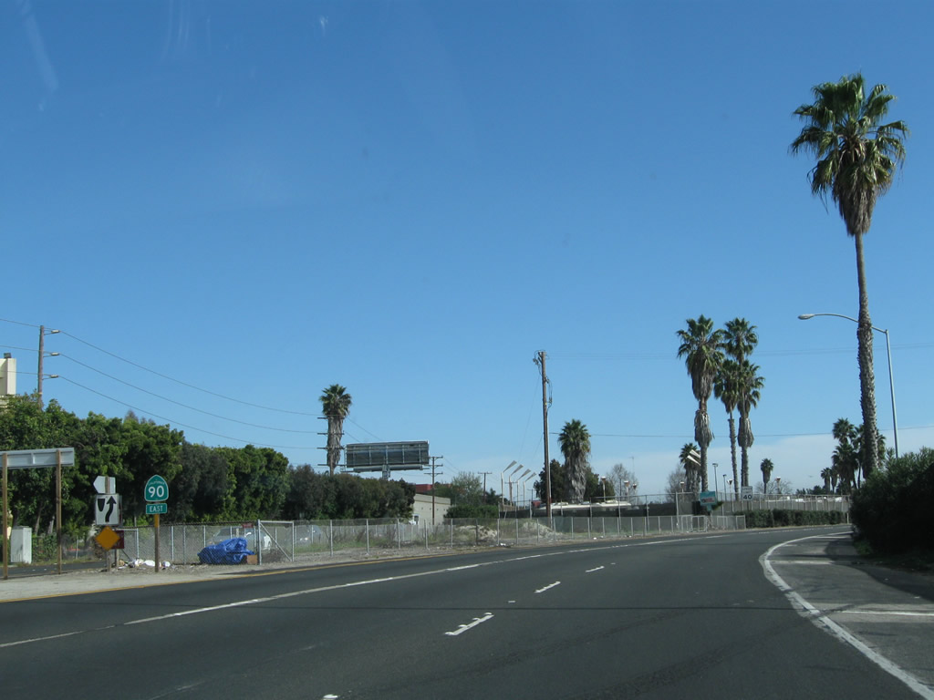
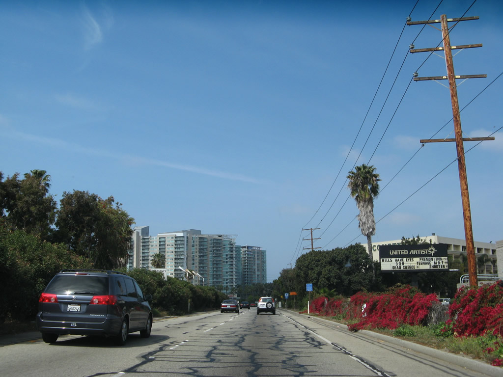
California 90 is split into two parts: the Marina Freeway between California 1 and just east of Interstate 405 and the Richard Nixon Parkway in Orange County in Yorba Linda. There were plans to connect the two segments, but that plan seems to be on permanent hiatus.
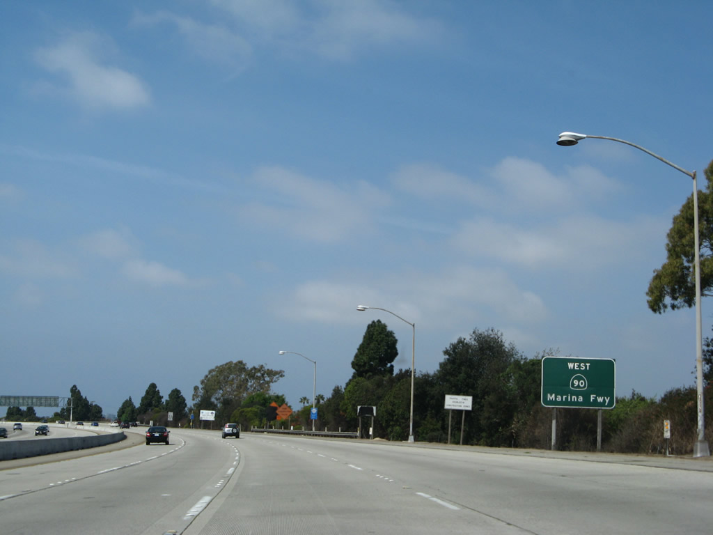
Leaving the intersection with California 1 (Lincoln Boulevard), eastbound California 90 begins as the Marina Expressway. Much of the land located within the footprint of California 90, including some parking lots at the western end and a nursery in the median, are owned by the state of California and leased to private business ventures. The first eastbound reassurance shield is posted in the median of the expressway.
02/13/11
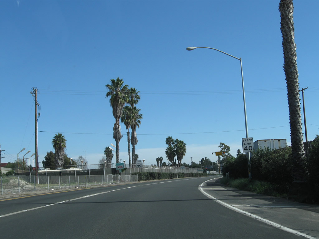
California 90 curves a bit to the southeast to reach its intended carriageway. The speed limit is set at 40 miles per hour.
02/13/11
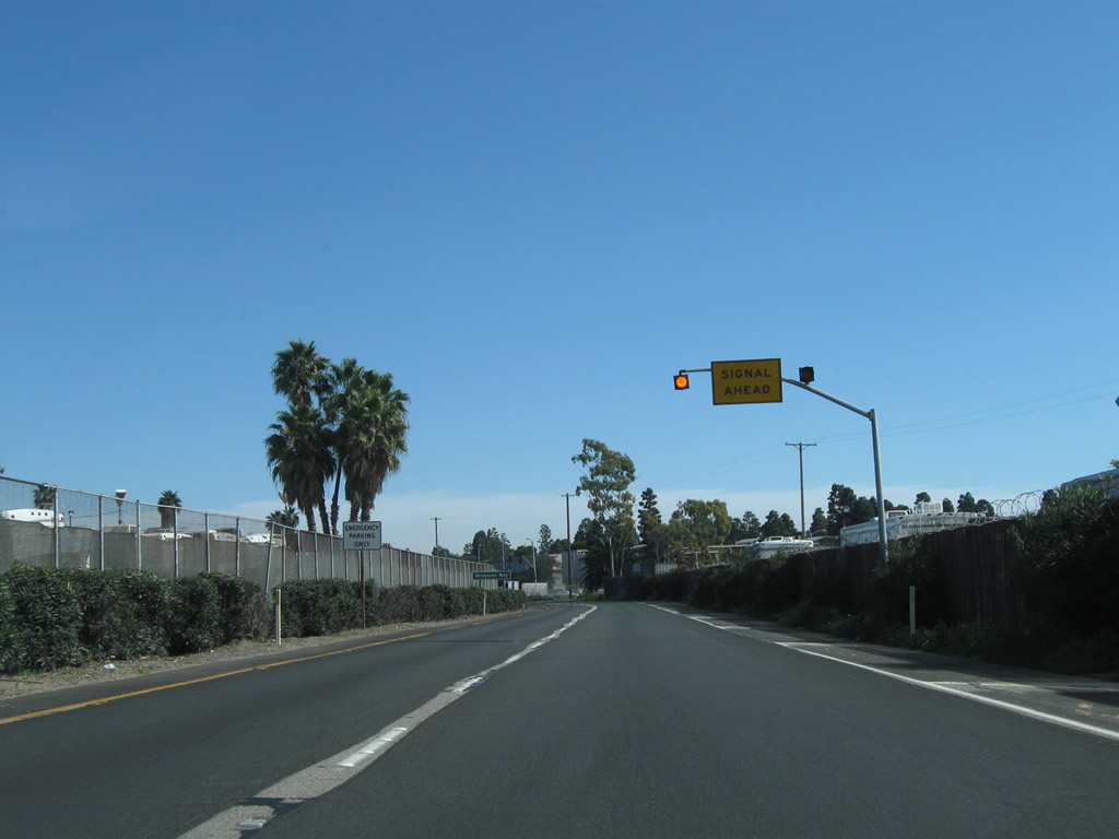
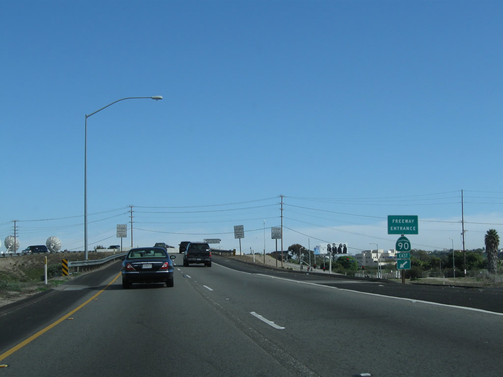
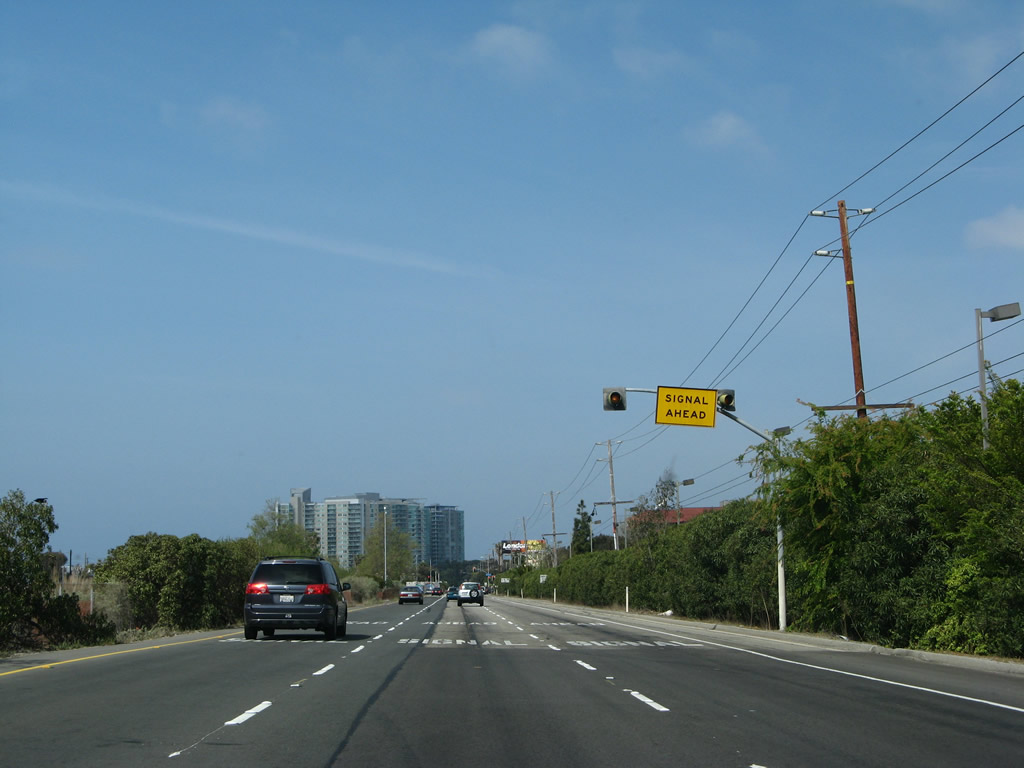
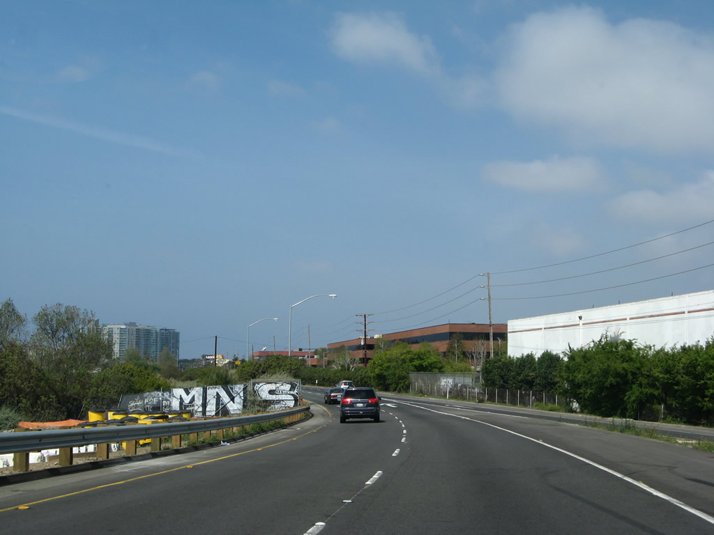
The first intersection (and only at-grade intersection) is located at Mindanao Way. After this intersection, the expressway will upgrade to freeway (the first interchange of which is with Culver Boulevard).
02/13/11
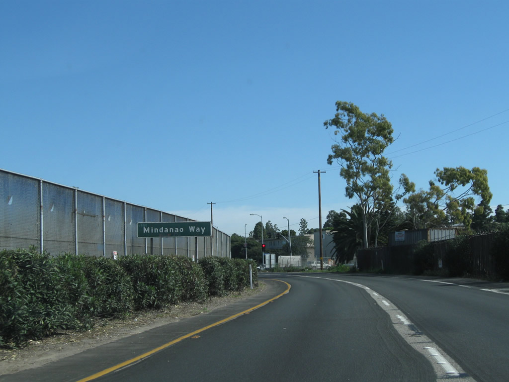
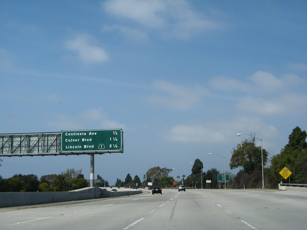
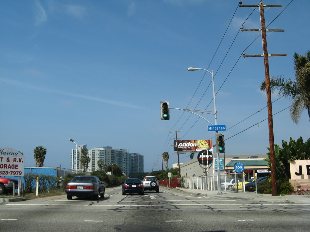
Mindanao Way travels southwest to California 1 (Lincoln Boulevard) in Marina del Rey and northeast to connect with Glencoe Avenue and Short Avenue east to Centinela Avenue.
02/13/11
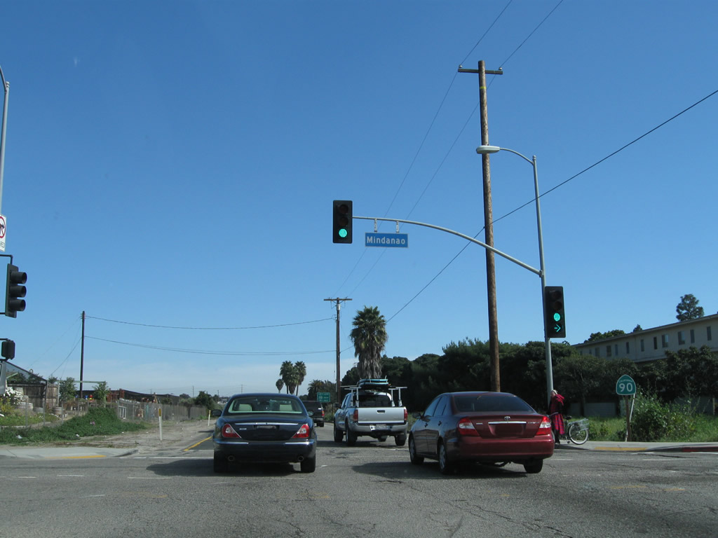
Eastbound California 90/Marina Expressway meets Mindanao Way at this traffic signal.
02/13/11
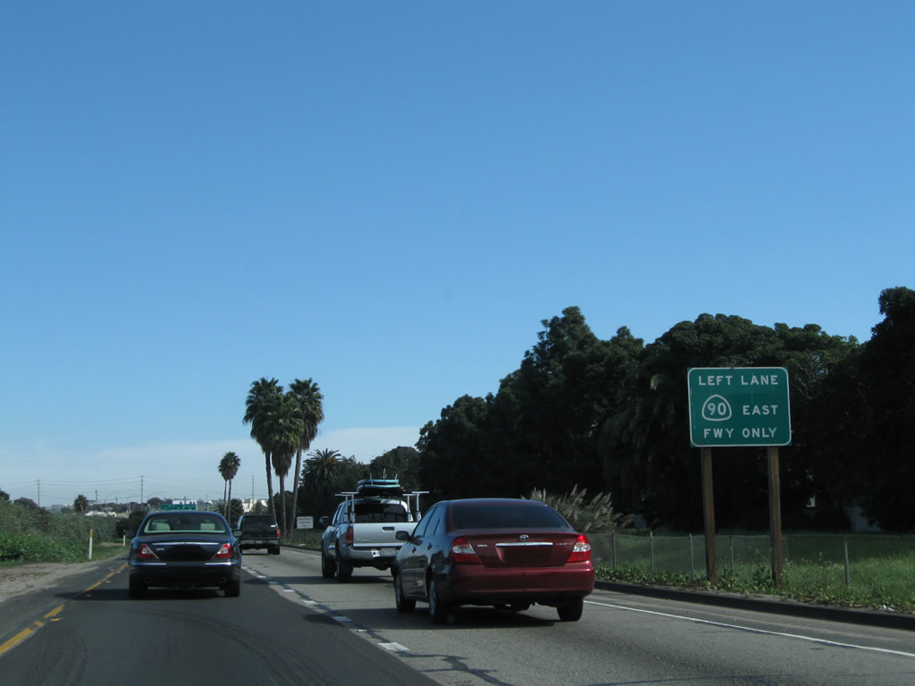
After Mindanao Way, California 90 upgrades to a freeway. Stay left for California 90 east or right for the first exit, which connects to Culver Boulevard.
02/13/11
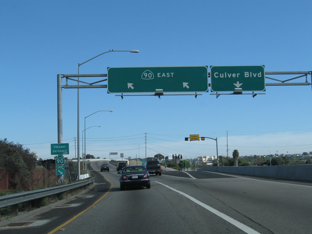
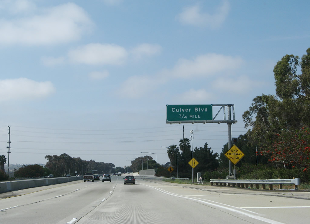
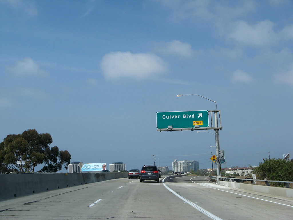
Eastbound California 90/Marina Expressway meets Exit 1A, Culver Boulevard. Like Mandanao Way, Culver Boulevard travels southwest to northeast, and it connects California 1, California 90, Centinela Avenue, and California 187 (Venice Boulevard). Use Culver Boulevard northeast to the northern part of Culver City; continue east on California 90 for the southern part of Culver City, including Fox Hills.
02/13/11
A California 90 east freeway entrance shield is posted after the Culver City off-ramp.
02/13/11
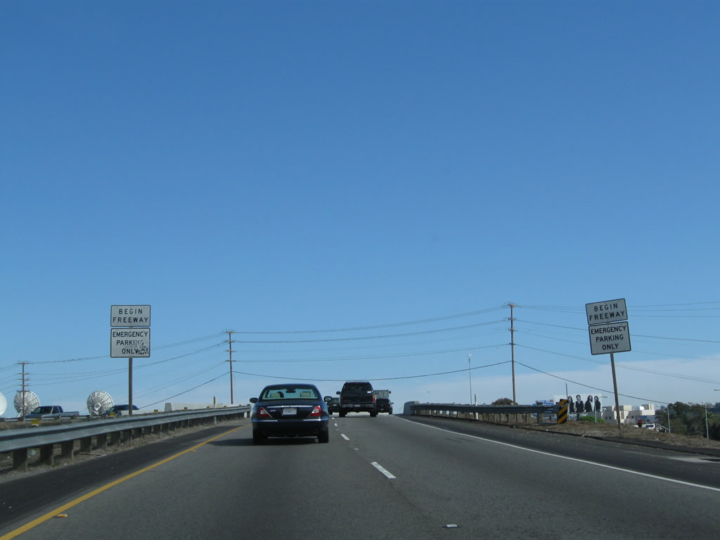
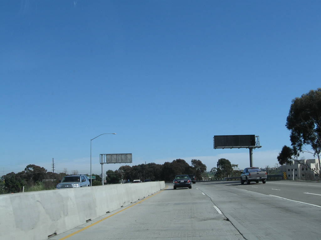
A pair of begin freeway signs flank the eastbound lanes of California 90 (Marina Freeway).
02/13/11
California 90 passes over Culver Boulevard with two eastbound lanes.
02/13/11
Between 2005 and 2007, the Culver Boulevard interchange was built to its current design. Prior to that, there were two at-grade intersections, one with Culver Boulevard and the other with Alla Road.
02/13/11
A dynamic message sign is located immediately after the on-ramp from Culver Boulevard.
02/13/11
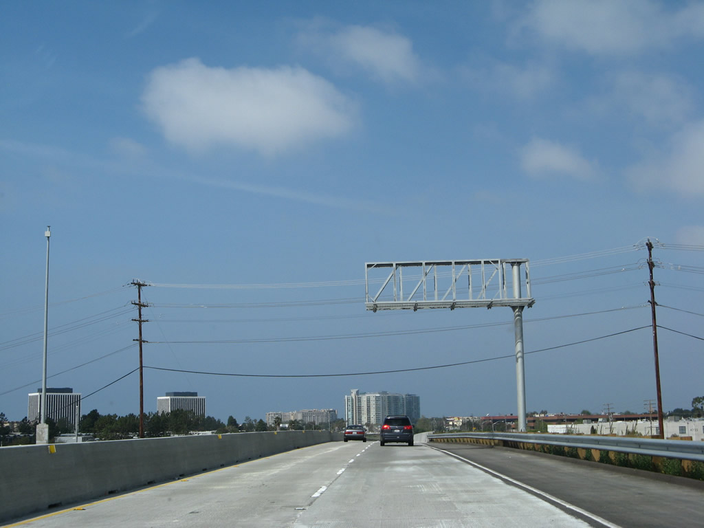
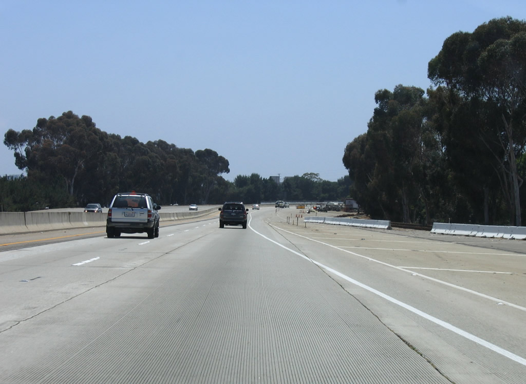
California 90 widens to three eastbound lanes.
02/13/11
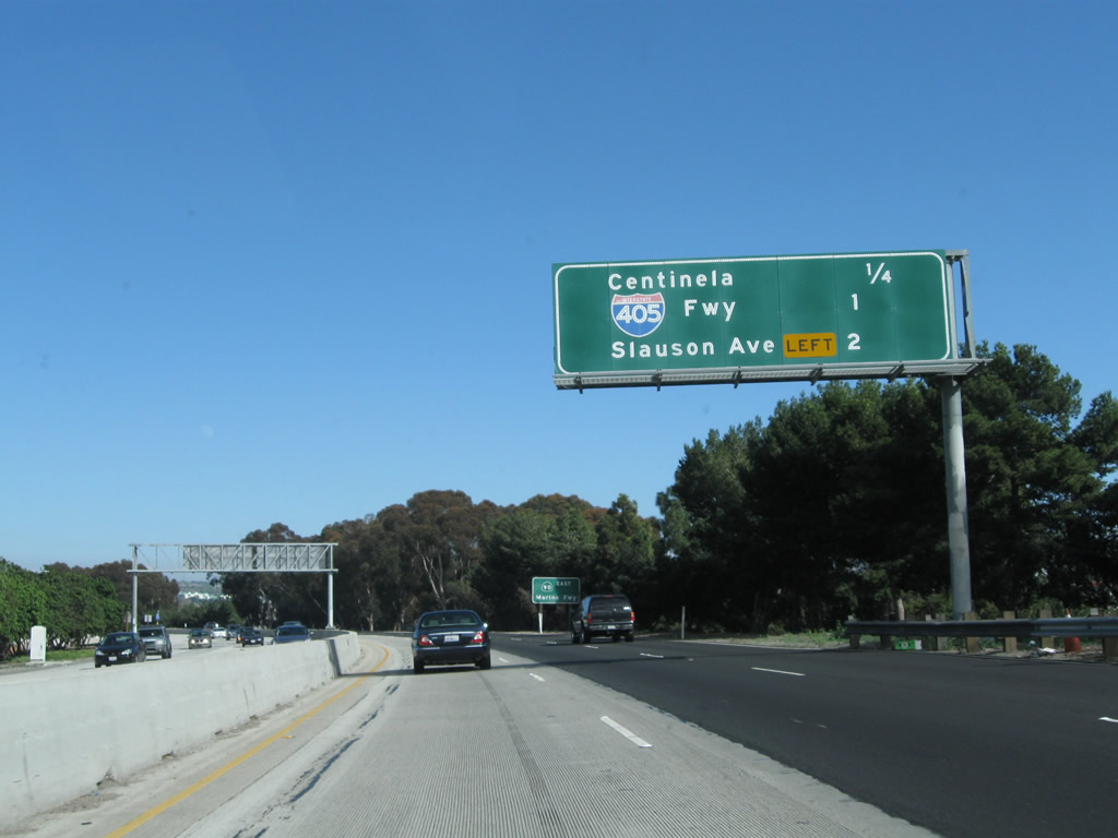
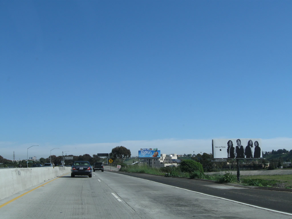
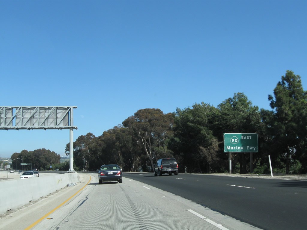
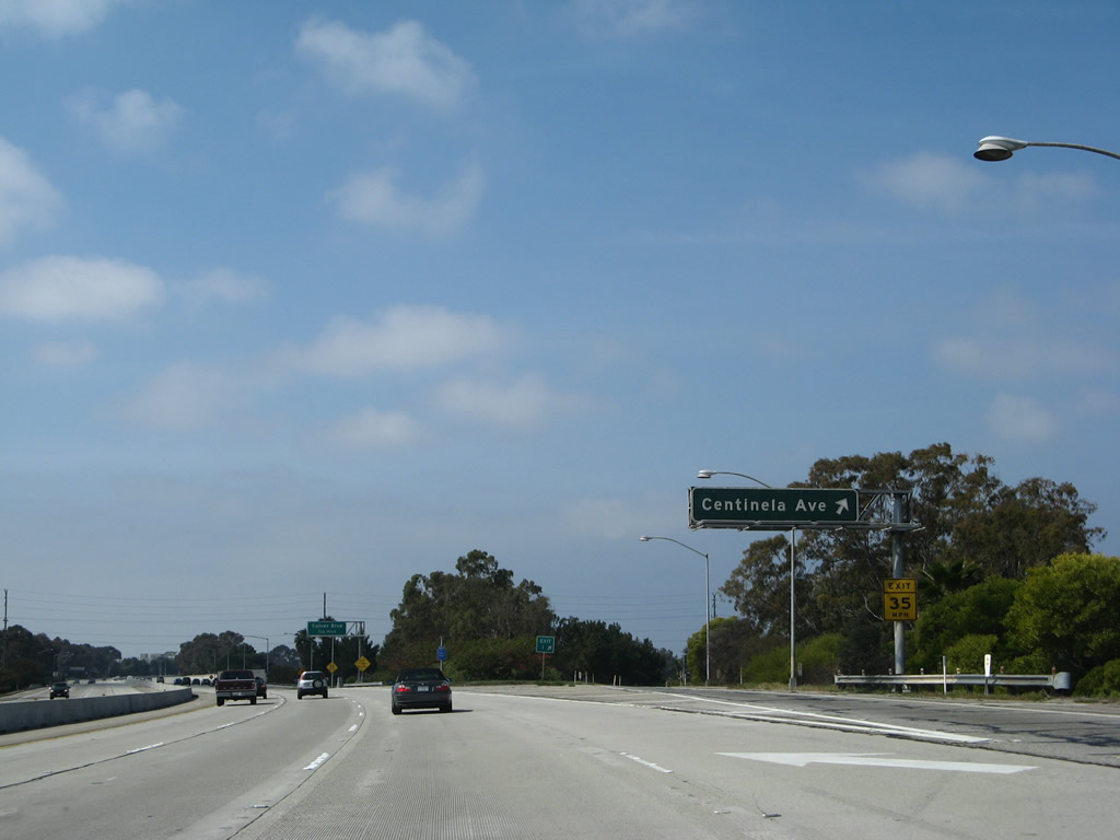
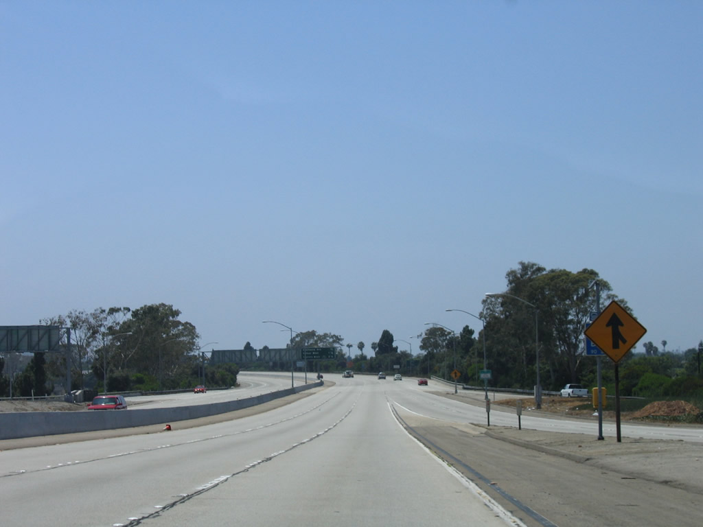
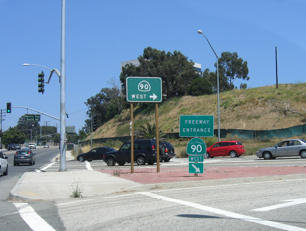
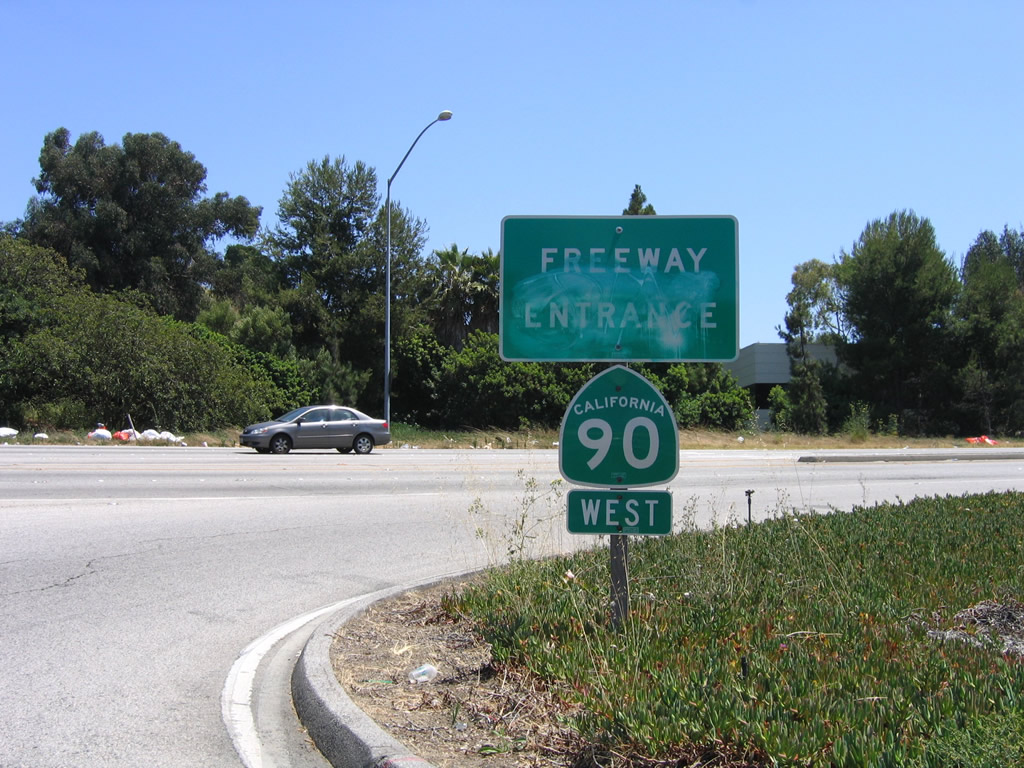
The next three exits along California 90 (Marina Freeway) east are: Exit 1B, Centinela Avenue; Exit 2, Interstate 405 (San Diego Freeway); and Exit 3, Slauson Avenue (end freeway).
02/13/11
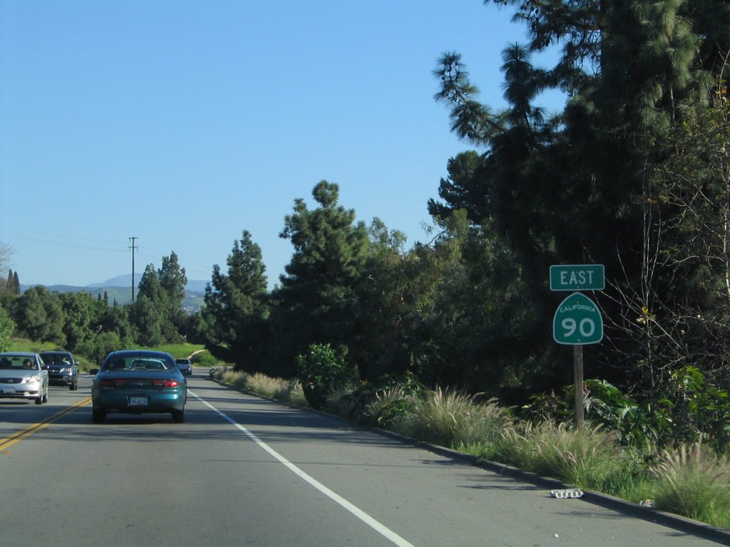
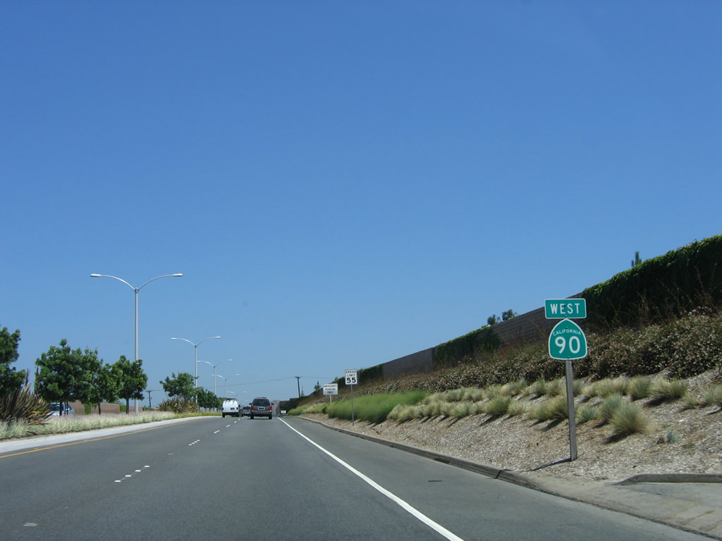
California 90 is known as the Marina Freeway, the third name this section of freeway has had. Prior to that, it was briefly known as the Richard M. Nixon Freeway (a name that was dropped when the former president resigned and left office). The entire California 90 freeway corridor was planned as the Slauson Freeway.
02/13/11
Eastbound California 90 (Marina Freeway) reaches Exit 1B, Centinela Avenue. This major north-south arterial travels north to serve the Del Rey and Mar Vista communities of Los Angeles as well as western Culver City along the Washington Boulevard corridor.
10/30/05
California 90 passes over Centinela Avenue.
02/13/11
Two new lanes join California 90 east from Centinela Avenue.
02/13/11
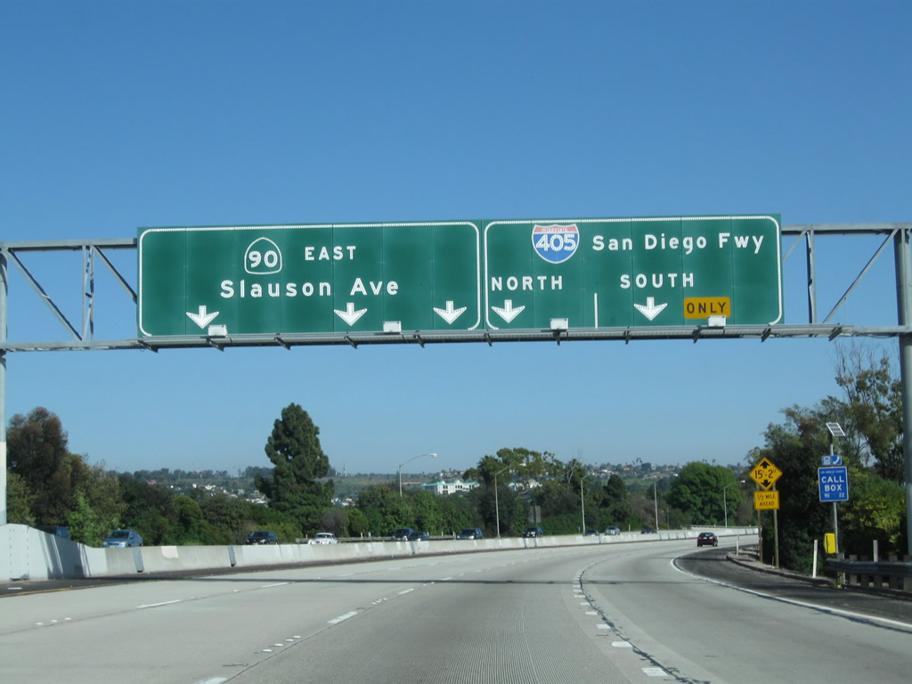
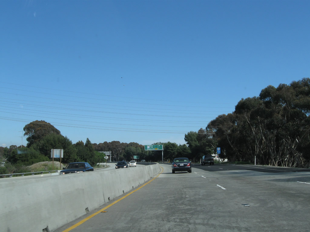
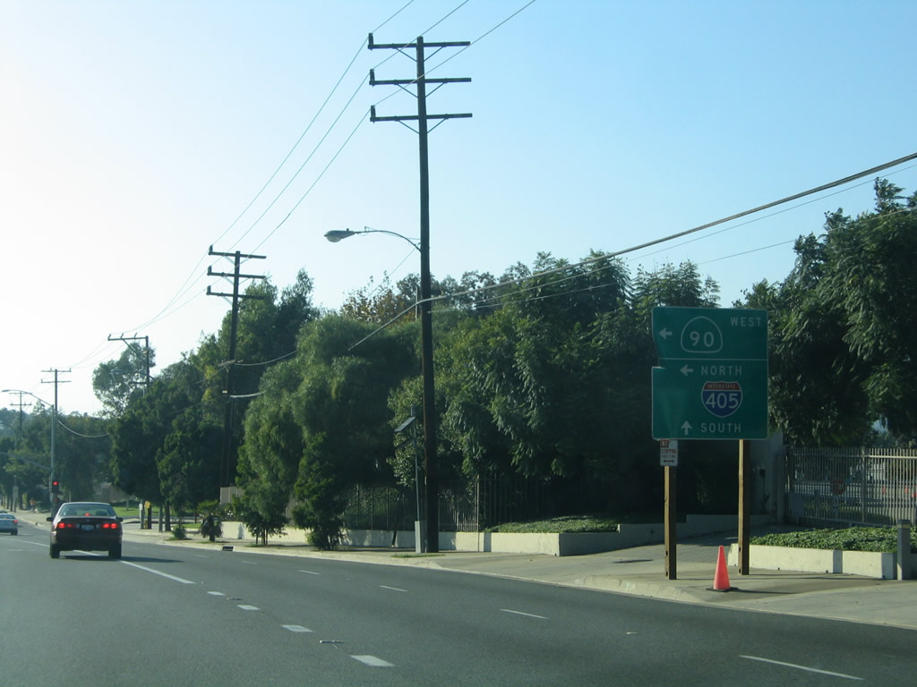
The left three lanes continue west on California 90, while the right lane becomes exit only for Interstate 405 (San Diego Freeway) north and south.
02/13/11
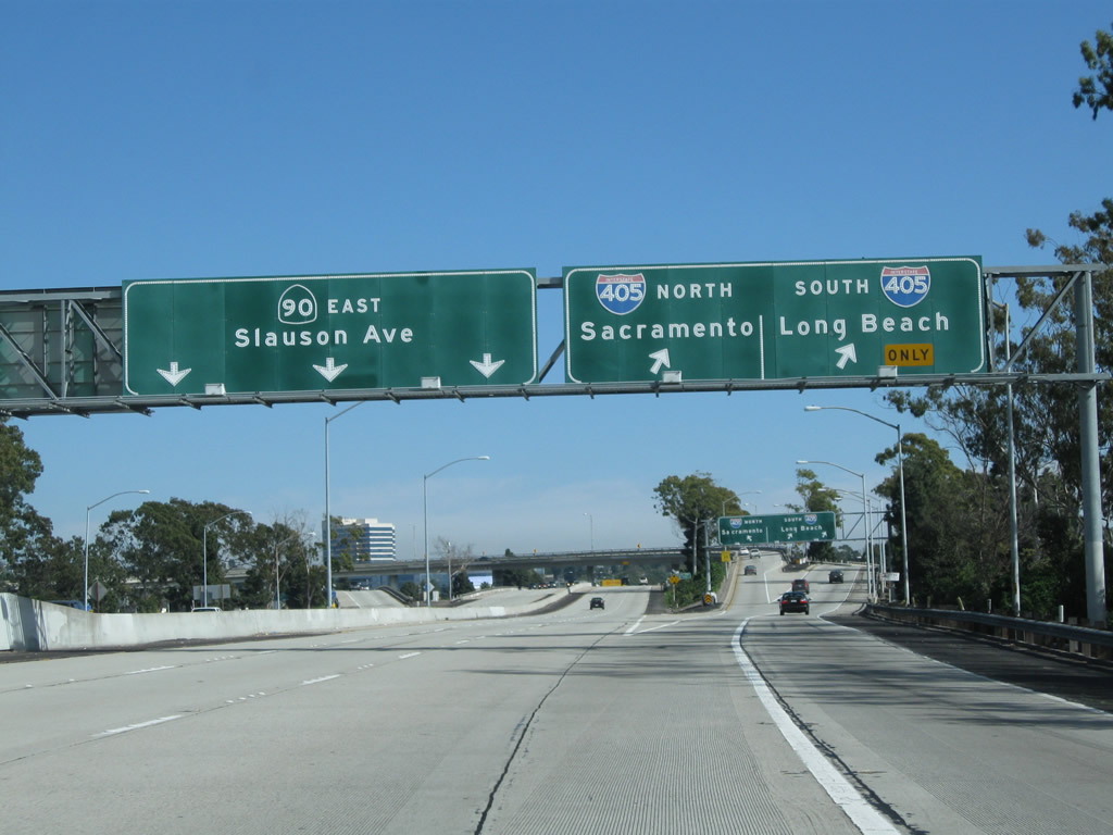
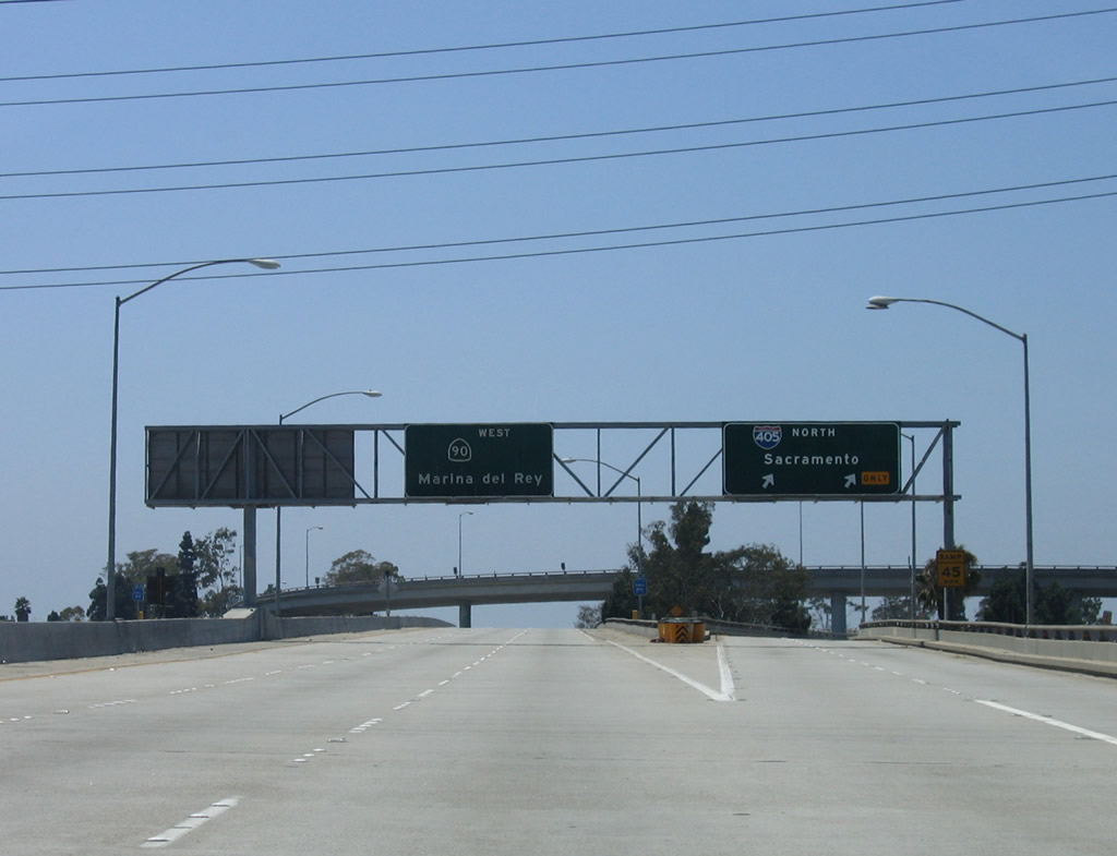
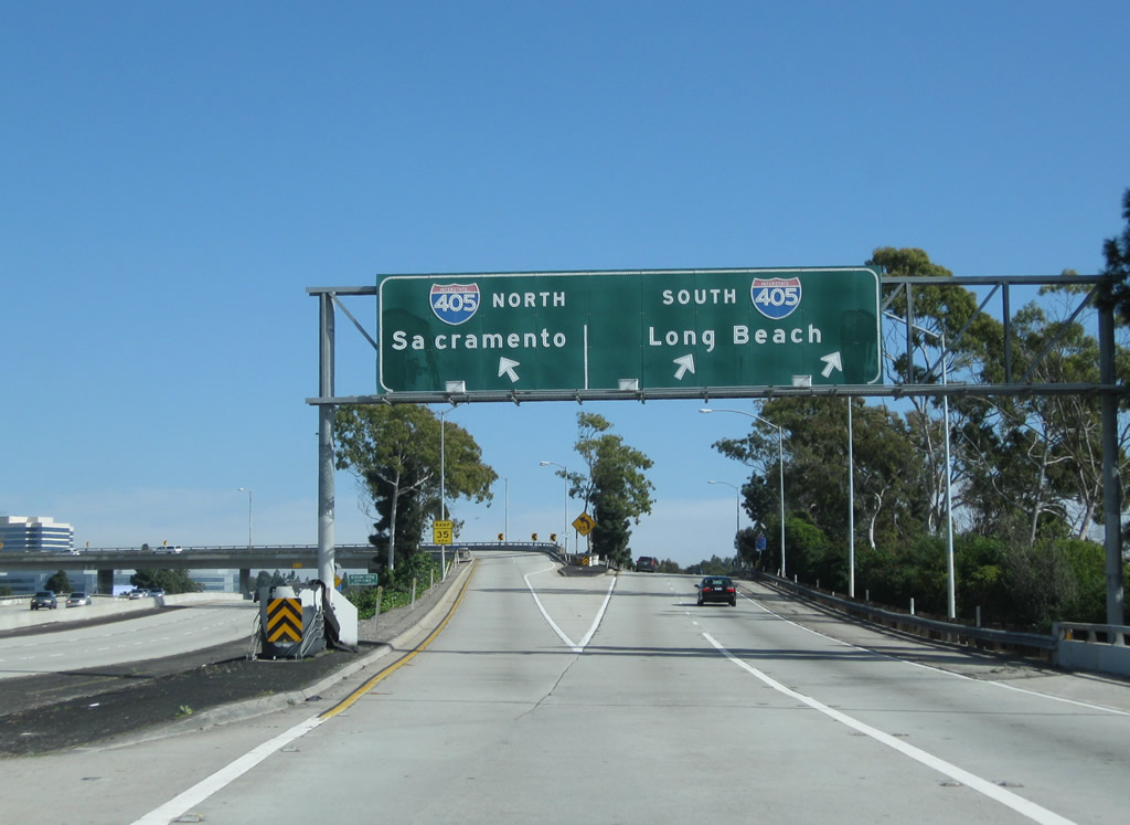
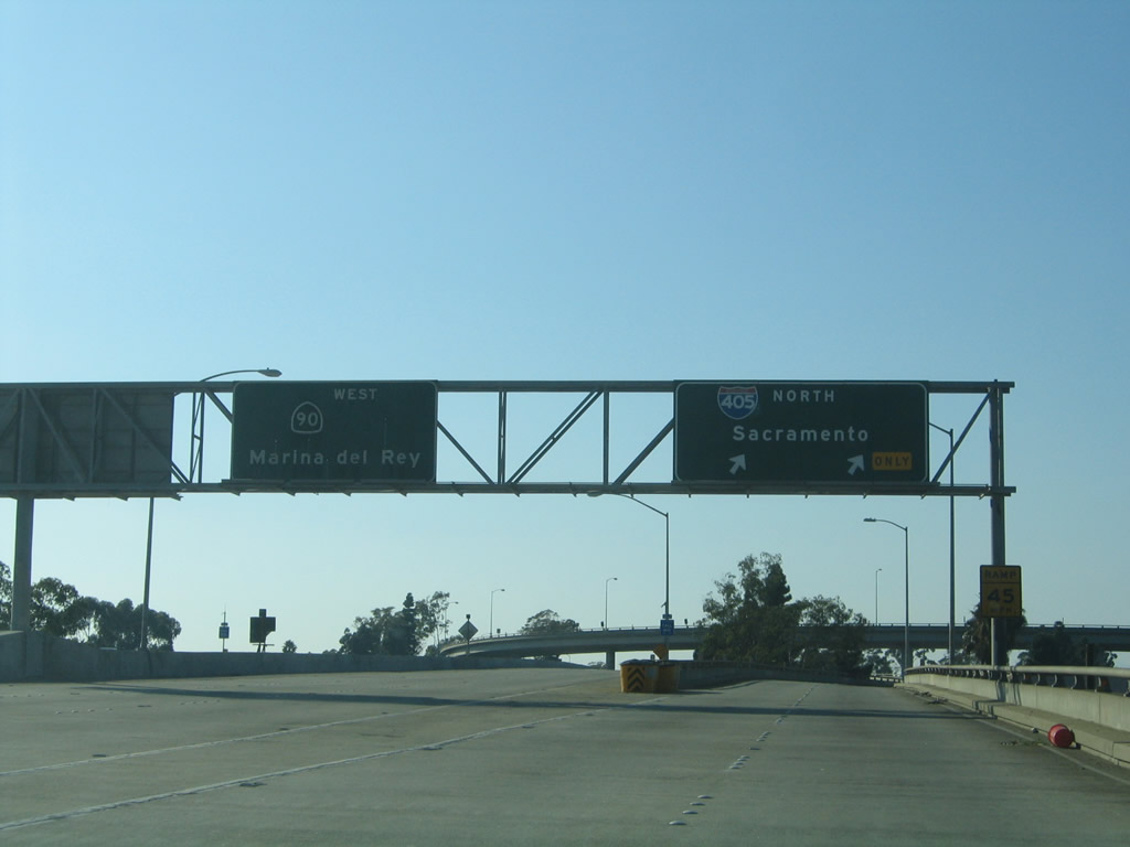
Eastbound California 90 meets Exit 2, Interstate 405 (San Diego Freeway). Interstate 405 (San Diego Freeway) travels south to Long Beach, Irvine, and San Diego or north to Santa Monica, Santa Clarita, and Sacramento.
02/13/11
Once on the off-ramp to Exit 2, the left lane connects to Interstate 405 north, while the right lane connects to Interstate 405 south.
10/30/05
02/13/11
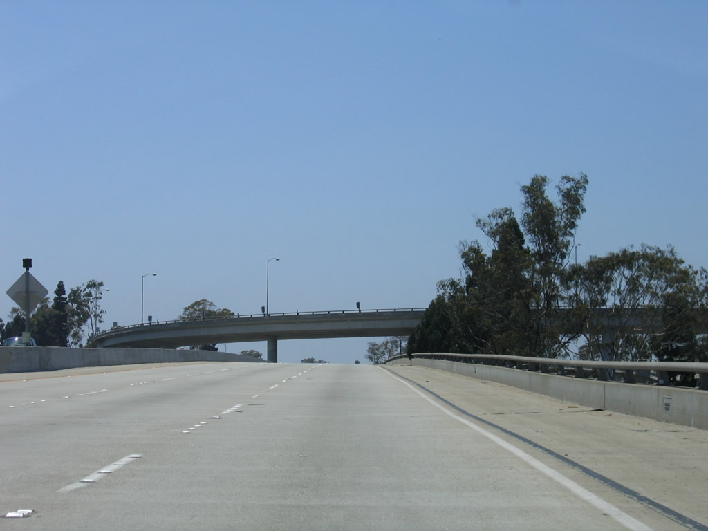
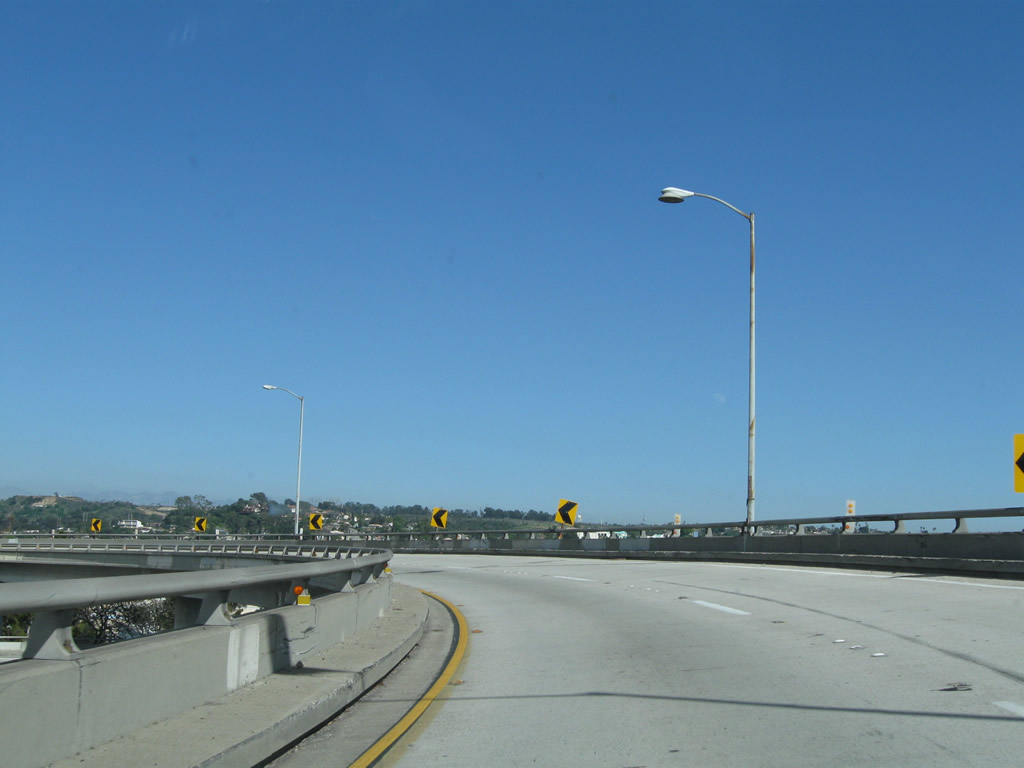
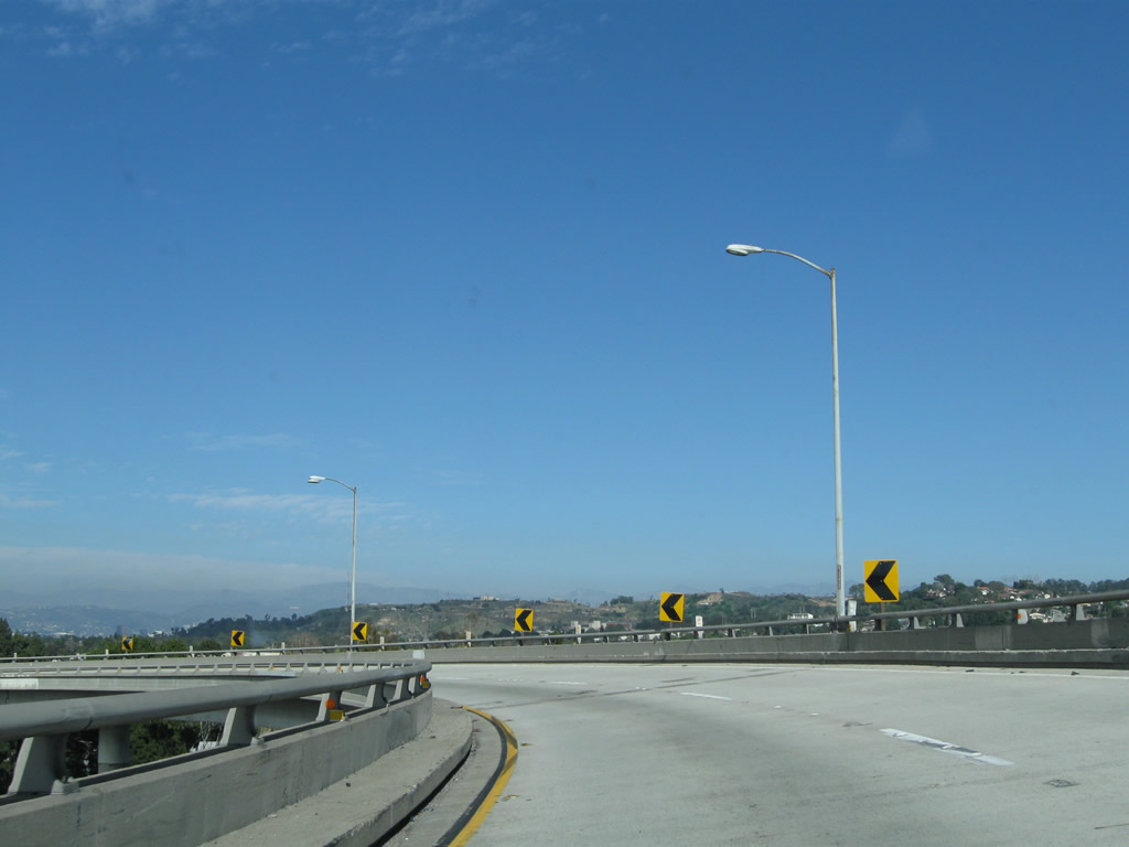
This series of pictures follows the transition ramp from California 90 east to Interstate 405 north. The flyover ramp offers several good views of the Interstate 405 mainline.
02/13/11
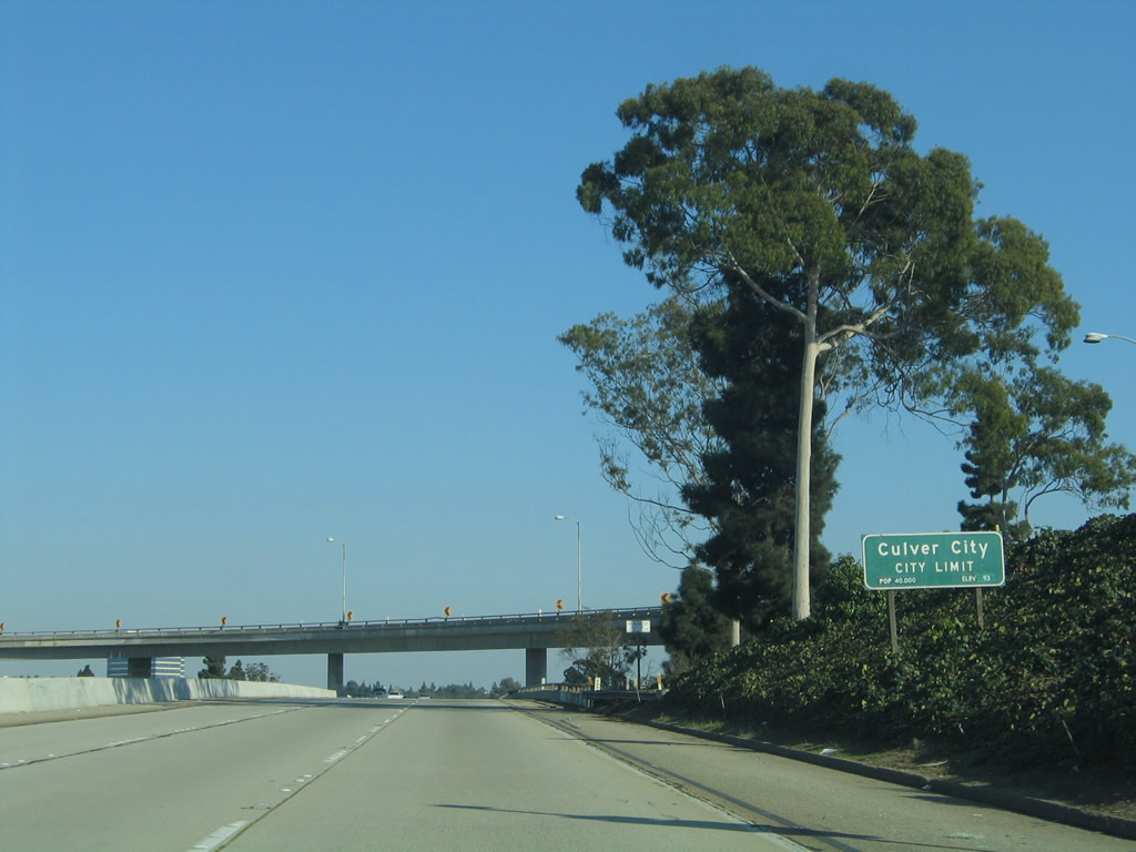
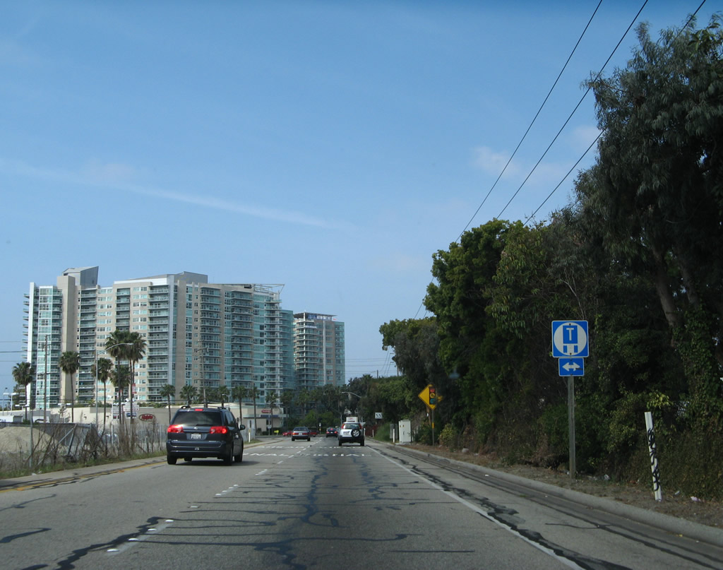
California 90 leaves Los Angeles and enters Culver City (population of 38,816 as of the 2000 Census and incorporated on September 7, 1917).
10/30/05
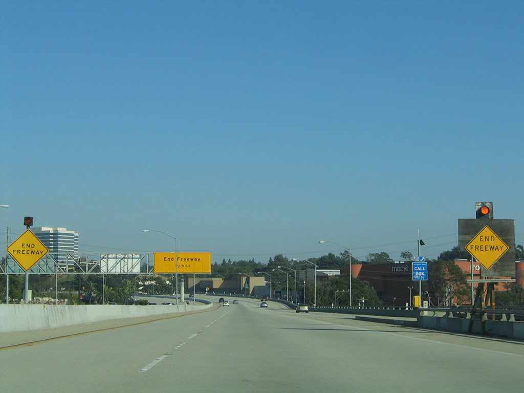
Leaving the Interstate 405 interchange, a pair of end freeway advance signs are posted along eastbound California 90.
10/30/05
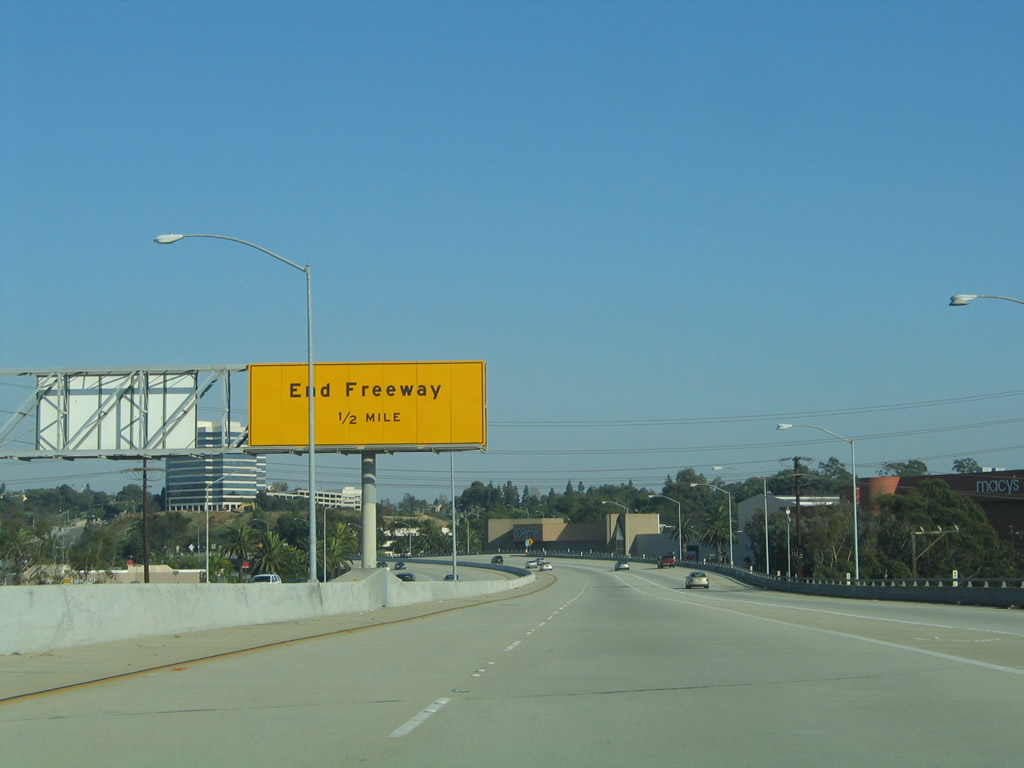
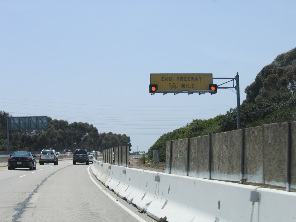
The California 90 freeway ends in one-half mile.
10/30/05
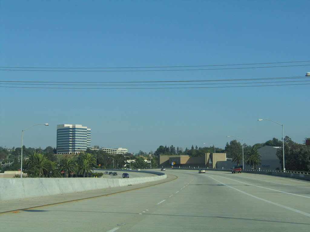
The final distance of California 90 rides on an elevated viaduct.
10/30/05
This takes traffic above the Fox Hills Mall located next to the California 90 freeway.
10/30/05
Eastbound California 90 approaches the final exit, which is an intersection with Slauson Avenue that is governed by a traffic signal.
10/30/05
Ending at Slauson Avenue, no end shield is posted for California 90. Turn left for Slauson Avenue to Sepulveda Boulevard and Jefferson Boulevard. Turn right for Slauson Avenue to Fox Hills and Ladera Heights.
10/30/05
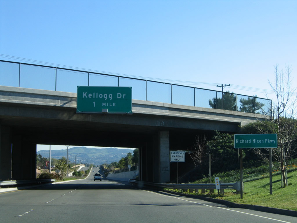
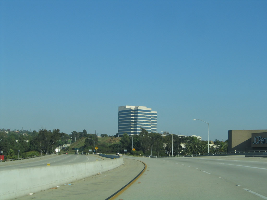
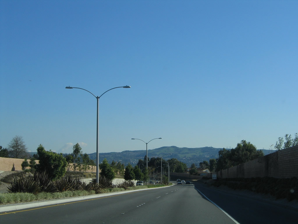
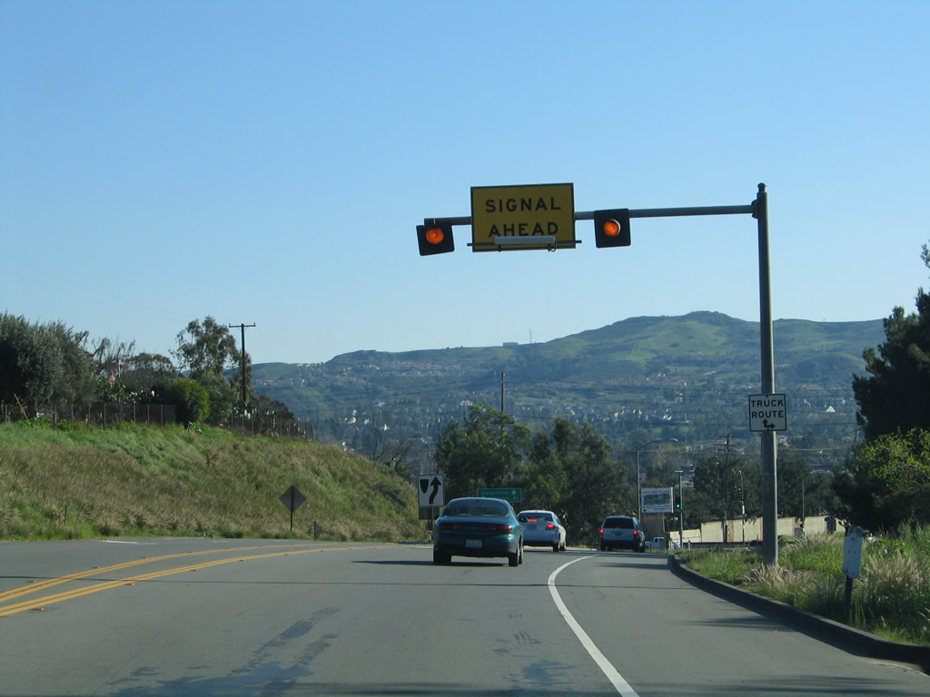
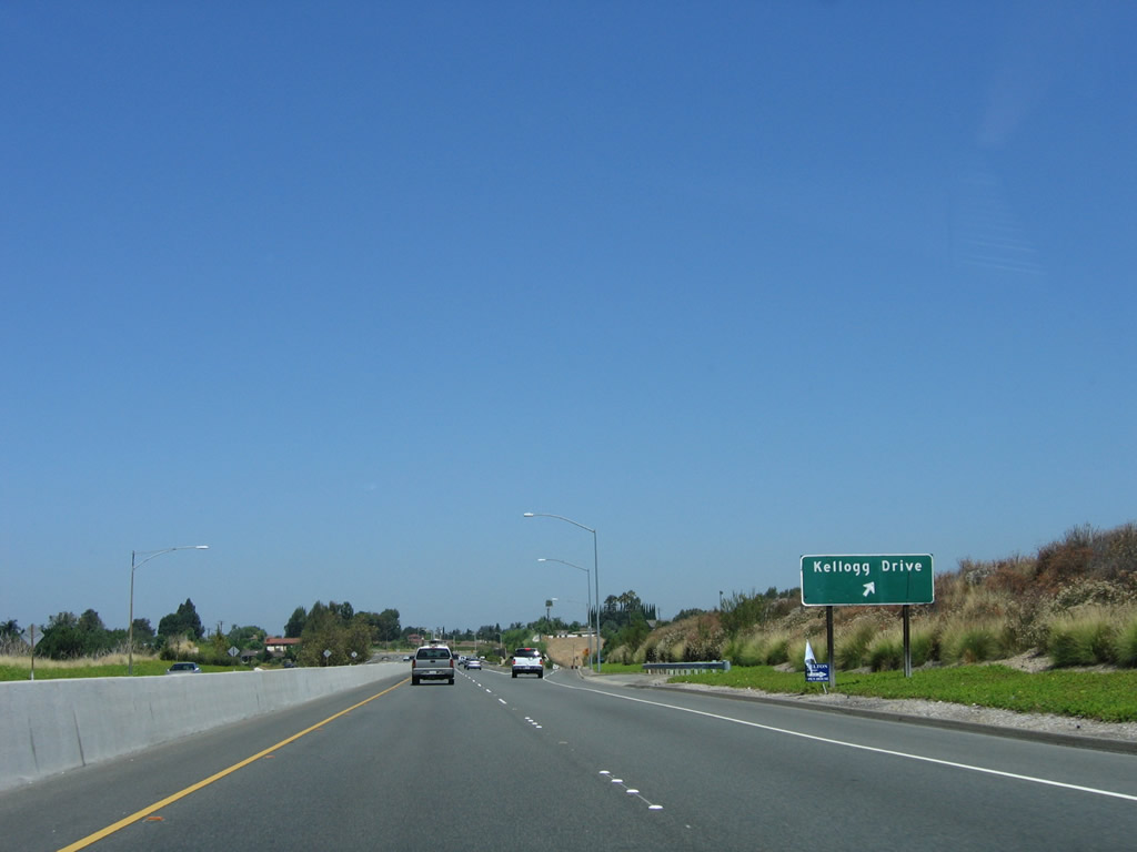
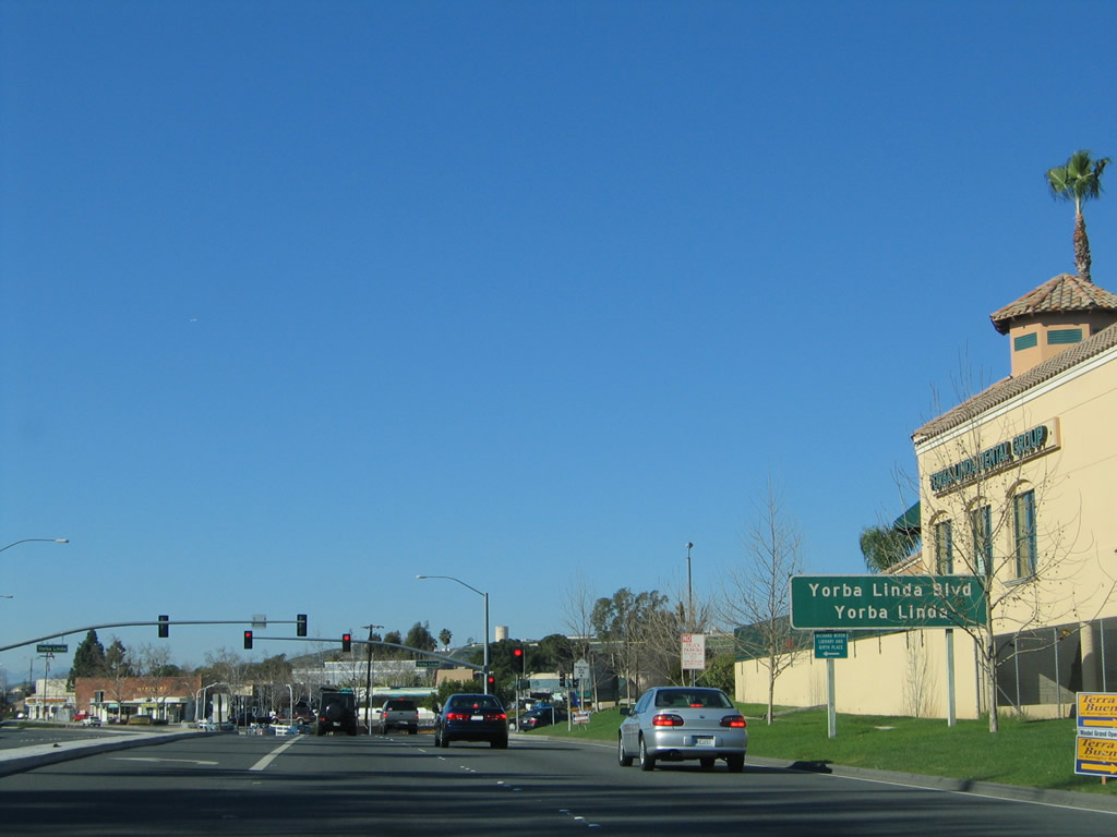
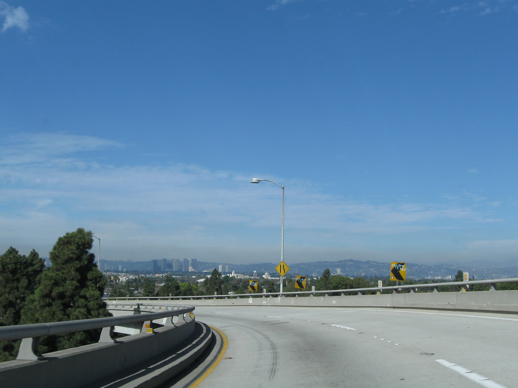
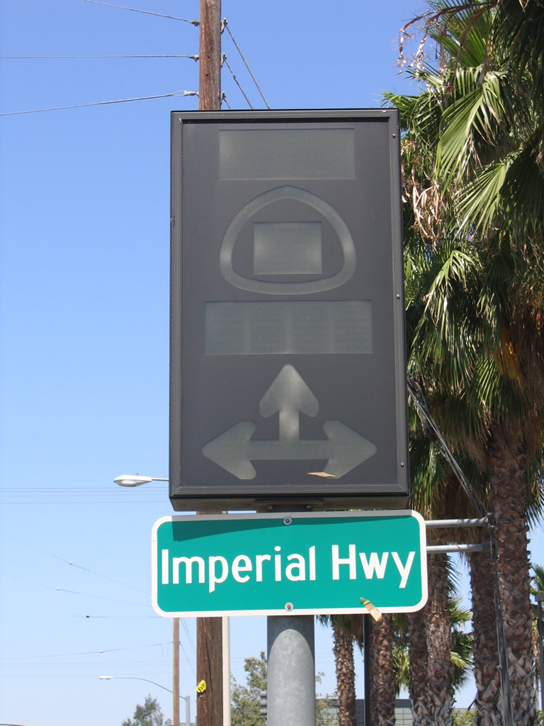
Leaving the intersection with Yorba Linda Boulevard, eastbound California 90 (Imperial Highway) next approaches Kellogg Drive, the only full interchange along the Richard M. Nixon Parkway. The parkway extends from Yorba Linda Boulevard southeast to Esperanza Road and Orangethorpe Avenue. This overhead sign is mounted on the Lakeview Avenue overpass.
01/30/05
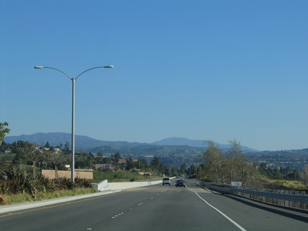
California 90 travels southeast through a beautified corridor. Prior to completion of these improvements, California 90 was a Super Two Freeway. Yorba Linda took over maintenance of this section of state highway, and the city rebranded the route as a parkway.
01/30/05
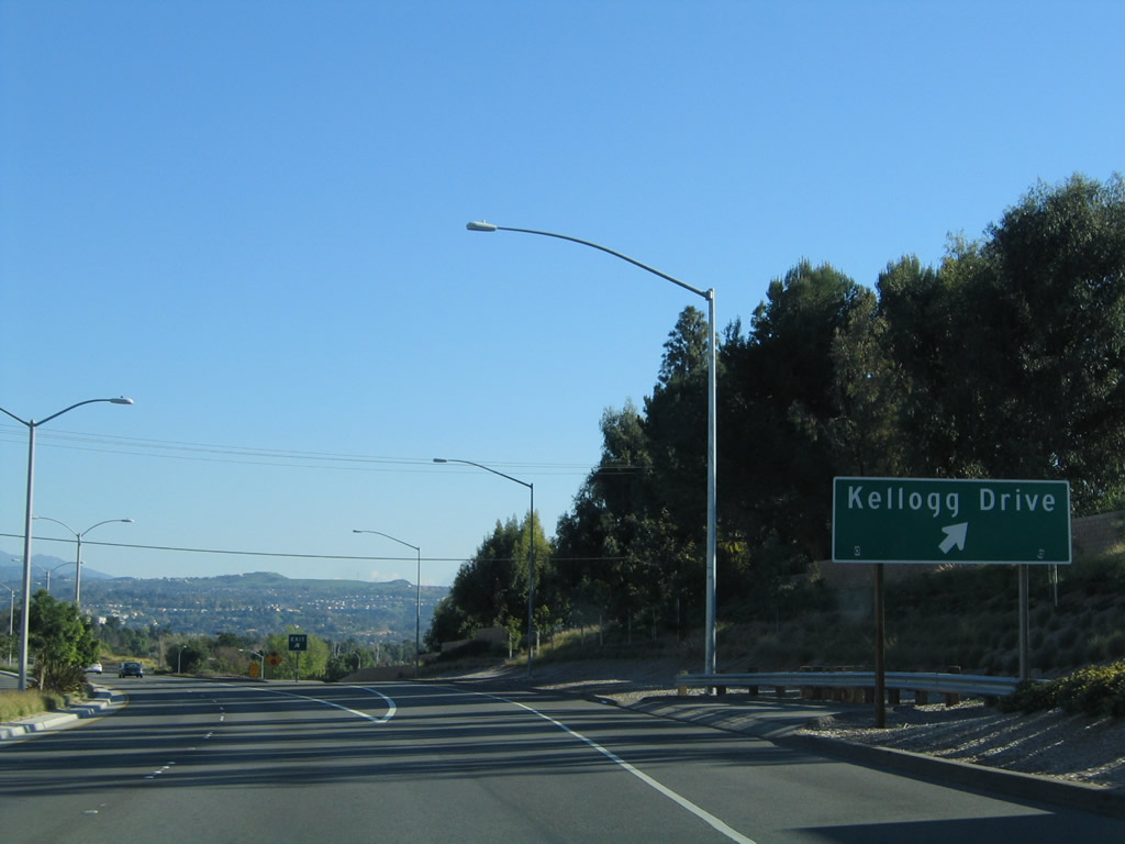
Eastbound California 90 (Imperial Highway / Richard M. Nixon Parkway) meets Kellogg Drive at this off-ramp.
01/30/05
The Kellogg Drive diamond interchange was constructed in 1962 as part of larger plans to construct a freeway along the California 90 corridor. That plan is all but dead, with the parkway segment the only remanants of the freeway proposal left in Orange County.
01/30/05
A California 90 east reassurance shield is posted after the on-ramp from Kellogg Drive on eastbound Imperial Highway. Back in 2005, the highway was only two lanes between Kellogg Drive and Orangethorpe Avenue, but this segment has since been widened.
01/30/05
The next traffic signal along California 90 (Imperial Highway) is with Esperanza Road and Orangethorpe Avenue. This intersection was converted into a grade-separated overpass in the late 2000s, but a traffic signal still governs the flow of traffic between the two roadways.
01/30/05
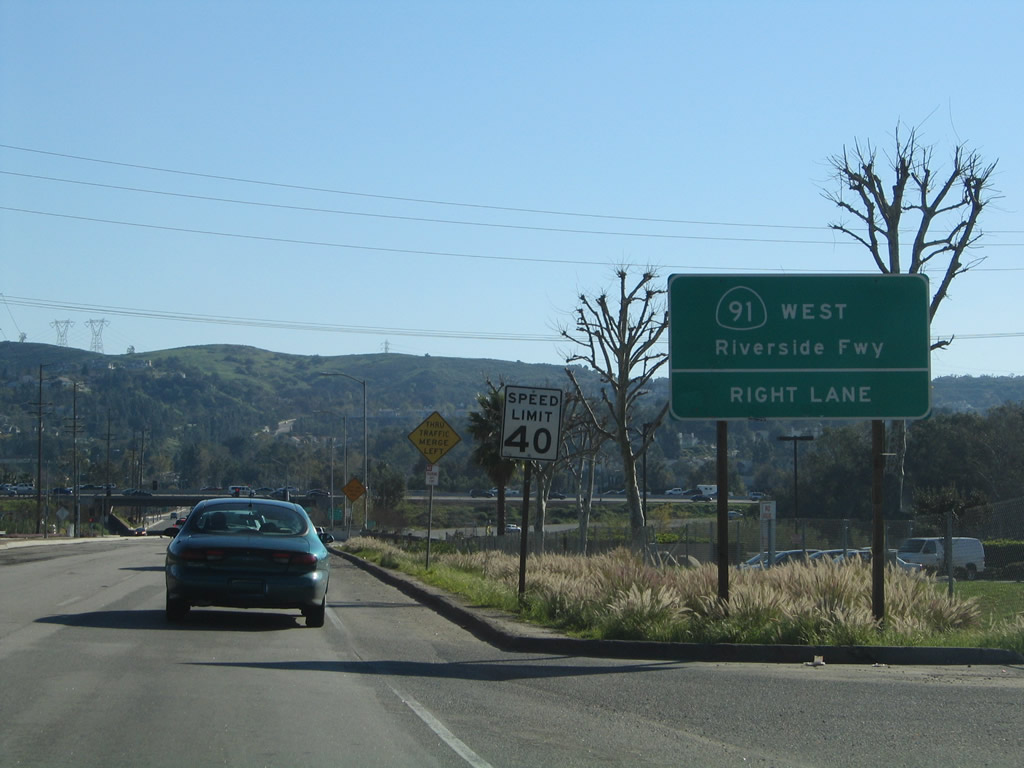
Turning almost due south, eastbound California 90 (Imperial Highway) approaches Esperanza Road east and Orangethorpe Avenue west. California 90 will proceed south across the Santa Ana River and then meet the California 91 freeway.
01/30/05
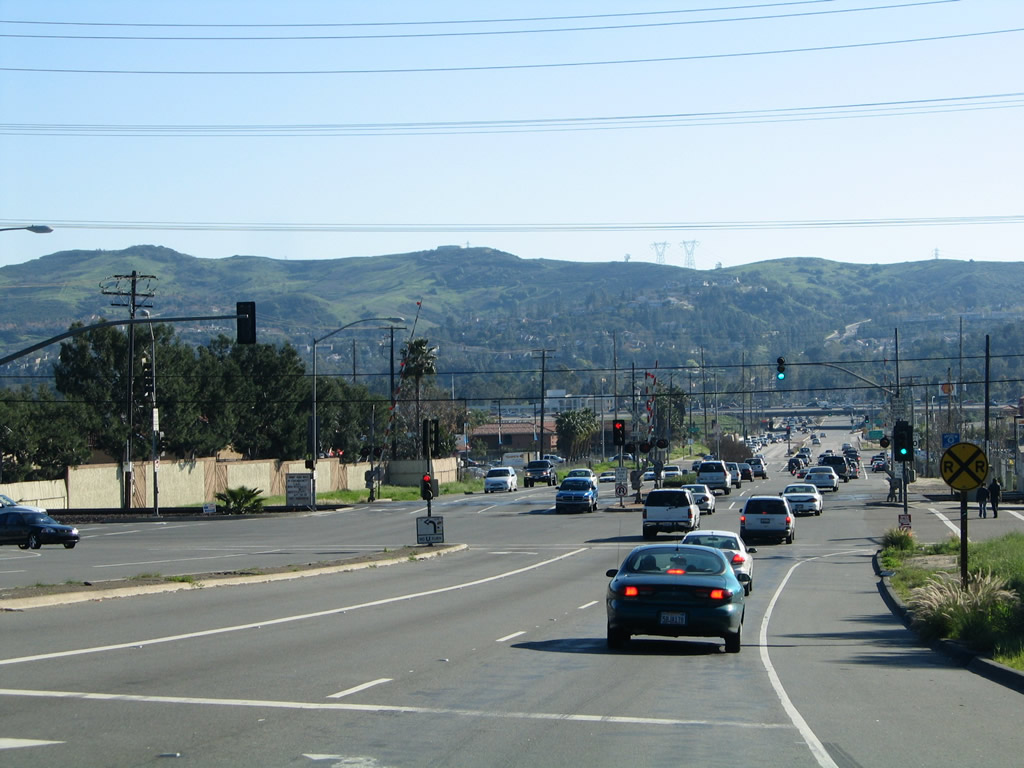
As California 90 crosses over the Santa Ana River, the state route leaves Yorba Linda and enters Anaheim. California 90 next approaches California 91 (Riverside Freeway). Traffic turning west onto the freeway should stay right.
01/30/05
As westbound California 90 (Imperial Highway) crosses over the Santa Ana River, we approach a railroad crossing followed by a signalized intersection with Esperanza Road east and Orangethorpe Avenue west. This intersection was converted into a grade-separated interchange with a traffic signal between the two roadways in the late 2000s.
01/30/05
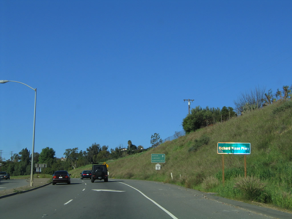
Within the city of Yorba Linda, California 90 (Imperial Highway) is known as the Richard Nixon Parkway.
01/30/05
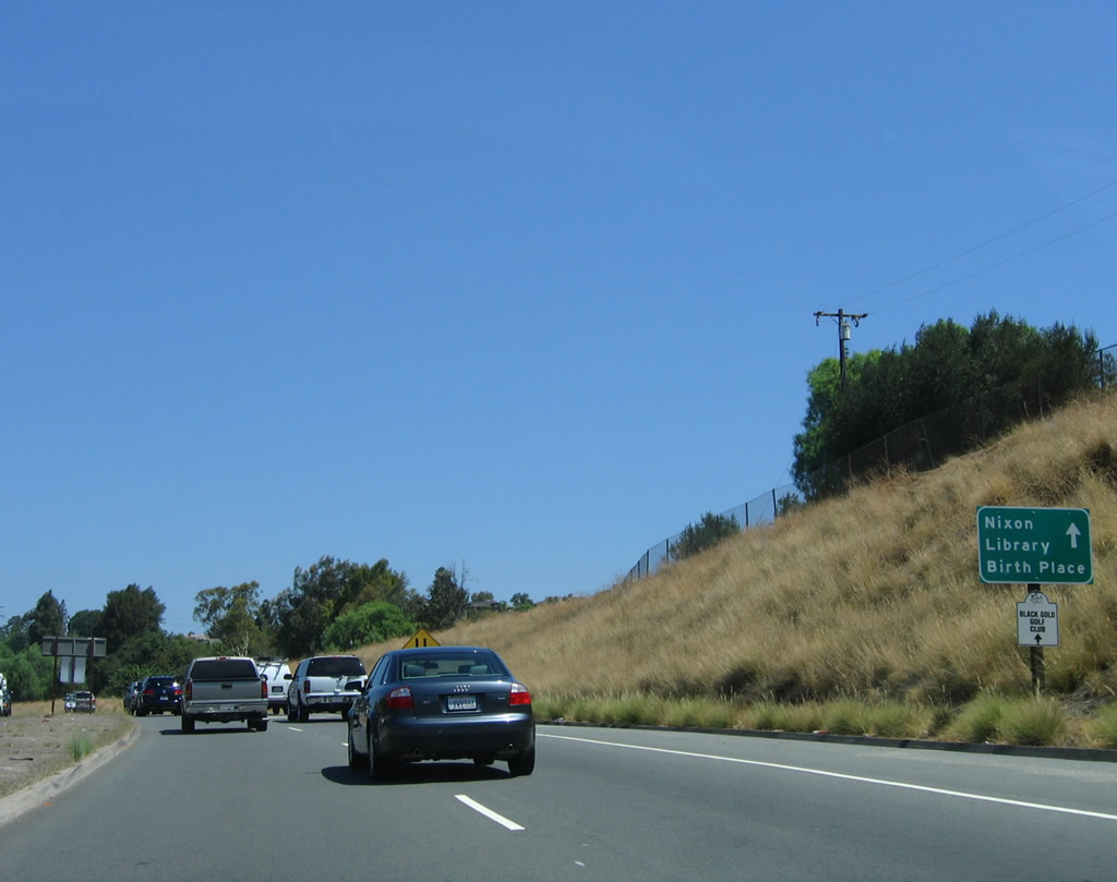
Use California 90 (Imperial Highway / Richard M. Nixon Parkway) west to the birthplace of former President Richard M. Nixon in Yorba Linda.
07/15/06
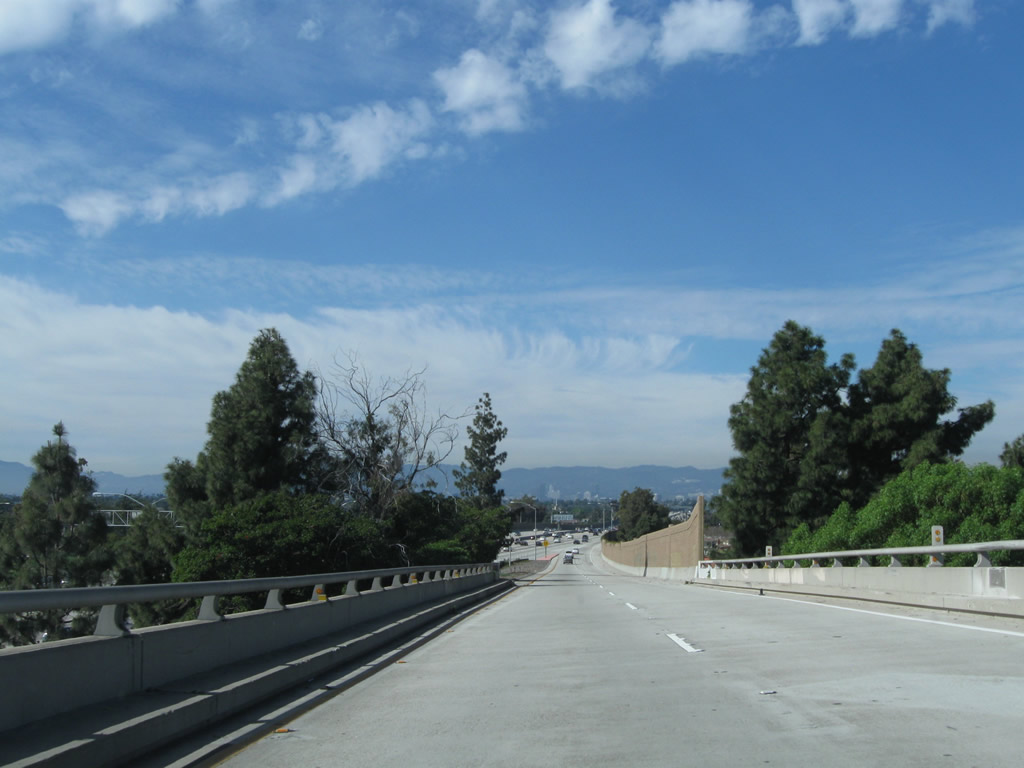
Prior to widening, California 90 for a time functioned as a Super Two freeway through southern Yorba Linda between Orangethorpe Avenue and Kellogg Drive. Now this section of freeway is entirely four lanes.
01/30/05
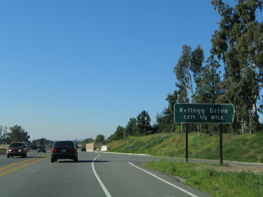
The next exit along California 90 (Imperial Highway / Richard M. Nixon Parkway) is with Kellogg Drive (one-half mile). The two-lane freeway used widen to four lanes at this point.
01/30/05
Westbound California 90 (Imperial Highway / Richard M. Nixon Parkway) meets Kellogg Drive at this off-ramp in Yorba Linda.
07/15/06
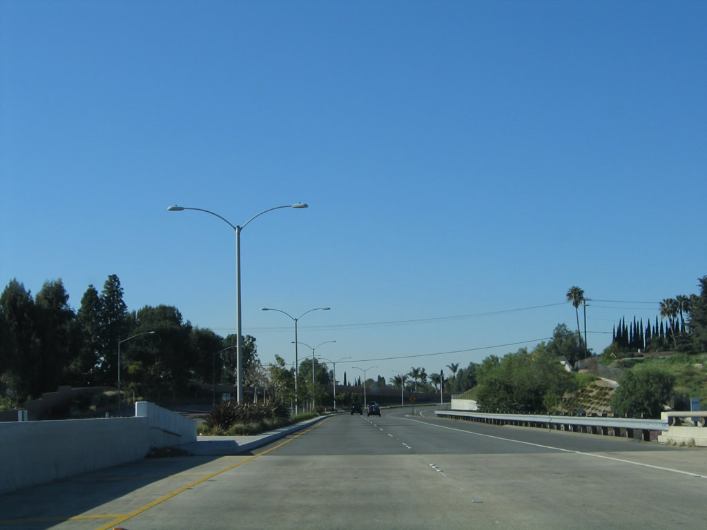
Landscaping was added to the median of California 90 (Imperial Highway) as part of a larger project to widen the Richard M. Nixon Parkway segment to four lanes in Yorba Linda.
01/30/05
A California 90 west reassurance shield is posted along westbound Imperial Highway (Richard M. Nixon Parkway) after the on-ramp from Kellogg Drive. The city decided that it did not want the word "freeway" associated with its parkway at all, so it removed all such references that Caltrans had previously put up on signage, including cutting the "freeway entrance" signs off the top of the freeway entrance sign assemblies for the Kellogg Drive on and off ramps. The shields were replaced between 2005 and 2006.
07/15/06
01/30/05
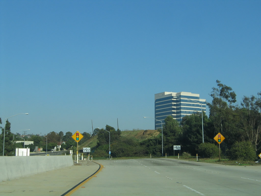
Approaching the Lakeview Avenue overpass, a warning sign advises of the pending end of the parkway and upcoming traffic signal with Yorba Linda Boulevard.
01/30/05
Westbound California 90 (Imperial Highway), which is generally headed northwest, approaches the intersection with Yorba Linda Boulevard in Yorba Linda.
01/30/05
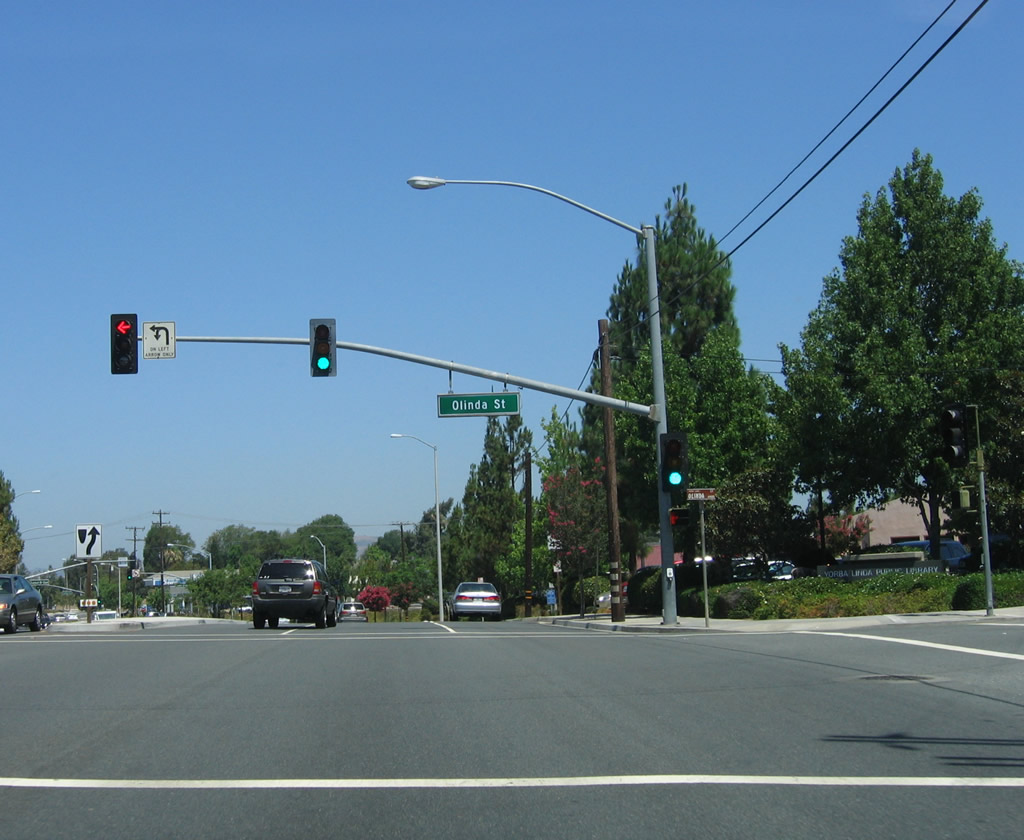
Shortly thereafter, westbound California 90 (Imperial Highway) meets Olinda Street next to the Yorba Linda Public Library.
07/15/06
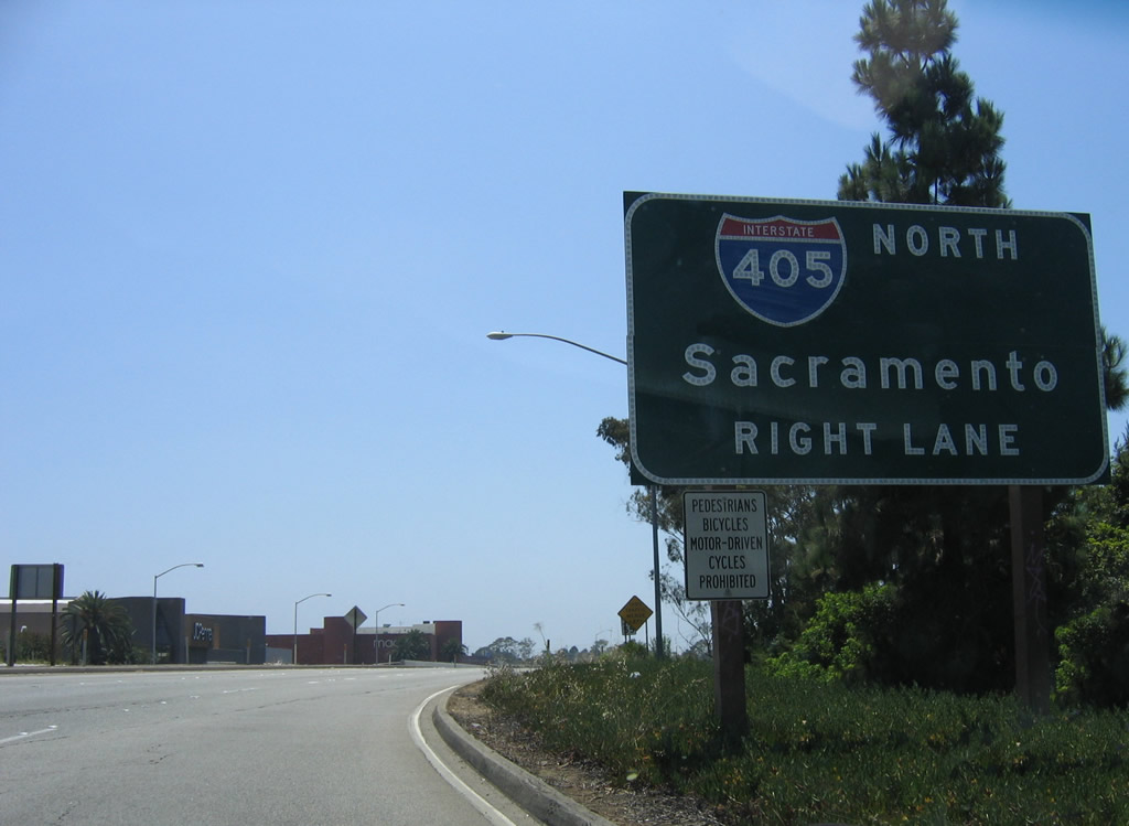
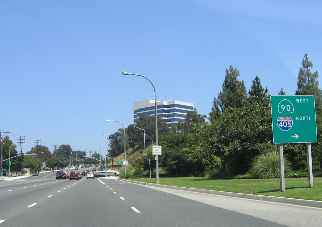
Skipping ahead to the brief Marina Freeway segment in Culver City, westbound California 90 (Marina Freeway) leaves Slauson Avenue and approaches Exit 2, Interstate 405 (San Diego Freeway) north to Sacramento and Bakersfield.
07/03/05
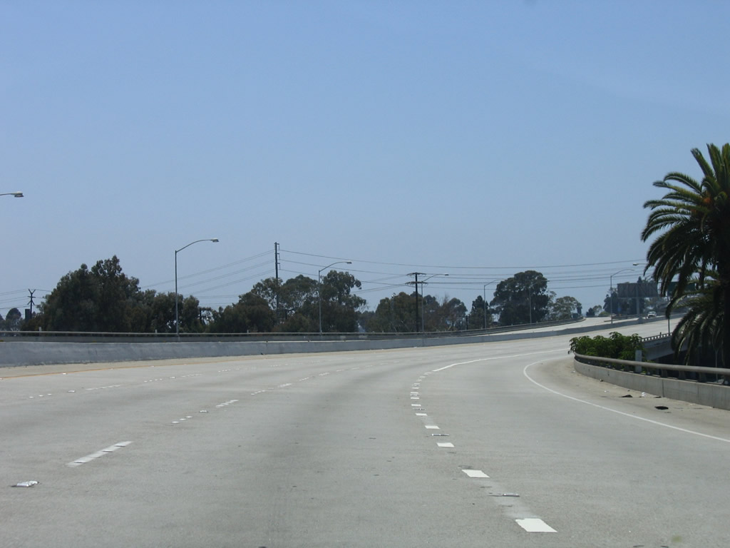
Almost immediately after the freeway begins, California 90 joins an elevated viaduct. This short freeway provides a quick route from Culver City to Marina del Rey and California 1 (Lincoln Boulevard).
07/03/05
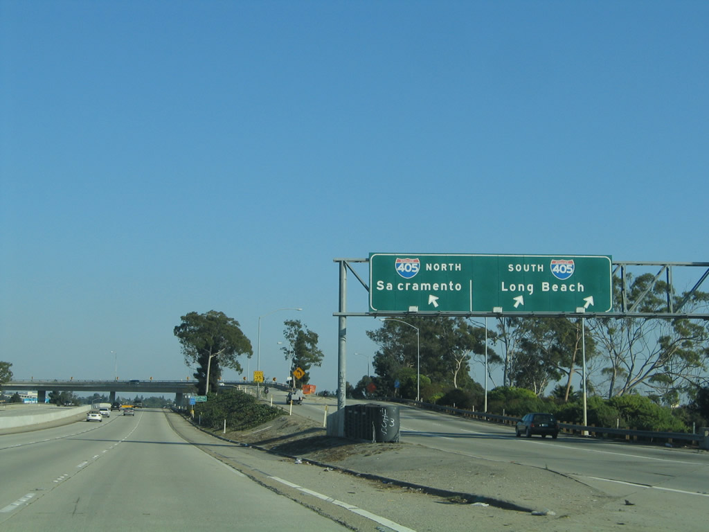
Westbound California 90 (Marina Freeway) meets Exit 2, Interstate 405 (San Diego Freeway) north to Sacramento and Bakersfield. There is no ramp from California 90 west to Interstate 405 south.
07/03/05
10/30/05
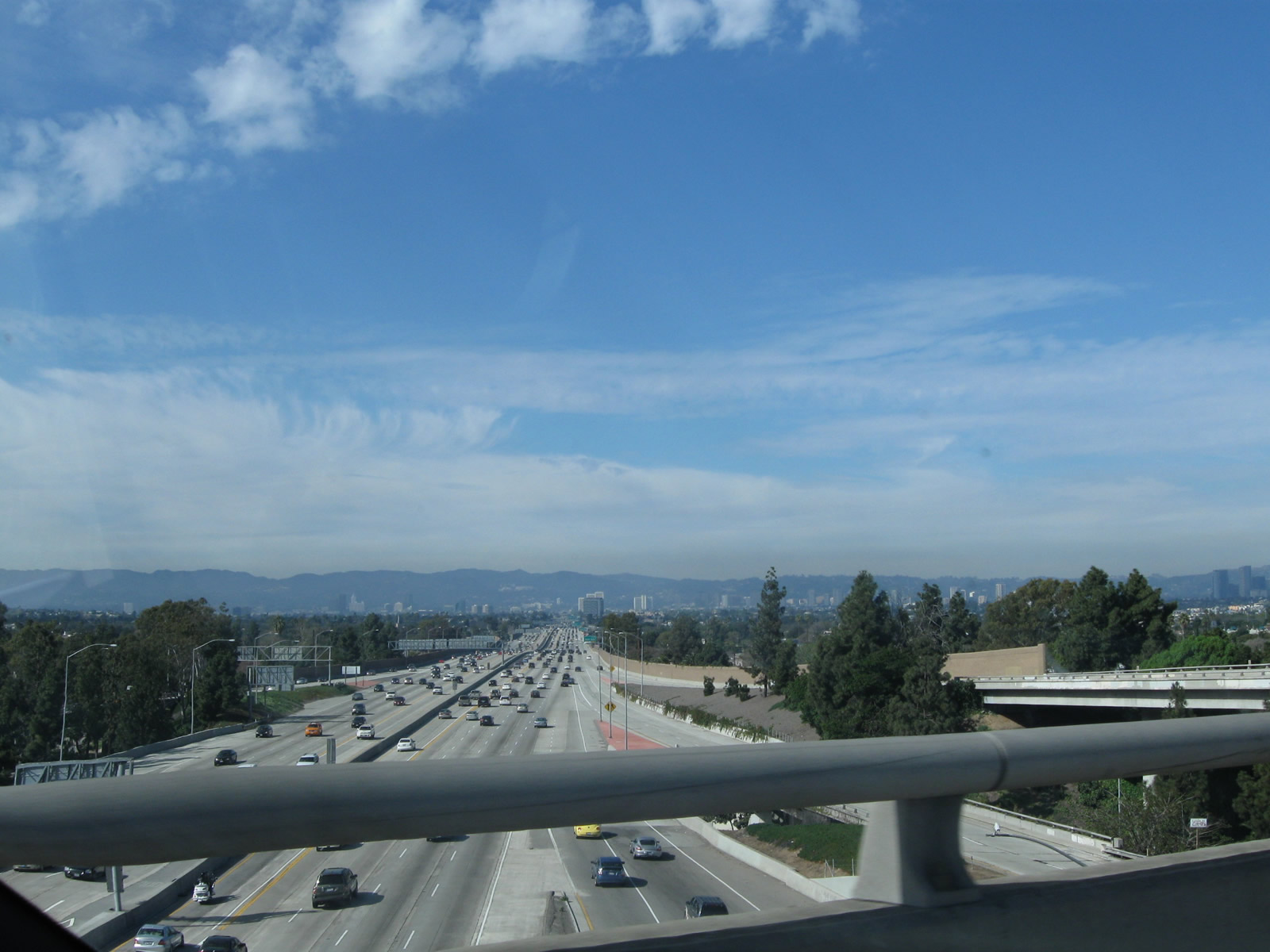
California 90 passes over Interstate 405 (San Diego Freeway) on its elevated viaduct. Interstate 405 stays at or below grade through this interchange. A sweeping ramp passes overhead, carrying traffic from California 90 east to Interstate 405 north.
07/03/05
Leaving the Interstate 405 interchange, this mileage sign provides the distance to the final two exits along California 90 (Marina Freeway) west as well as the western terminus of the state highway: Exit 1D, Centinela Avenue; Exit 1C, Culver Boulevard; and Exit 1A, California 1 (Lincoln Boulevard) (traffic signal/end of expressway). Omitted from the list is a signalized intersection with Mindanao Way (Exit 1B) between Culver Boulevard and Lincoln Boulevard.
03/25/07
A California 90 (Marina Freeway) west sign is posted after the on-ramp from Interstate 405 and prior to the off-ramp to Centinela Avenue.
03/25/07
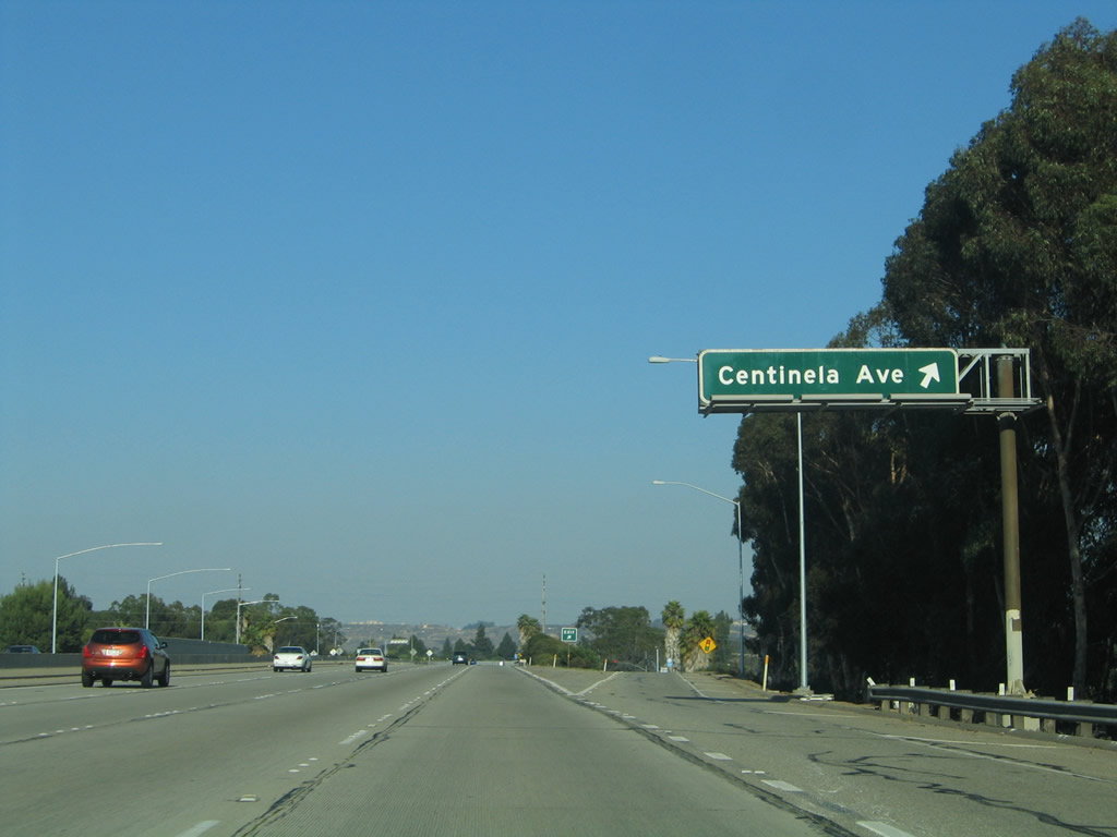
Westbound California 90 (Marina Freeway) meets Exit 1D, Centinela Avenue. The right lane ends and the freeway narrows as we approach the final freeway interchange at Exit 1C, Culver Boulevard.
03/25/07
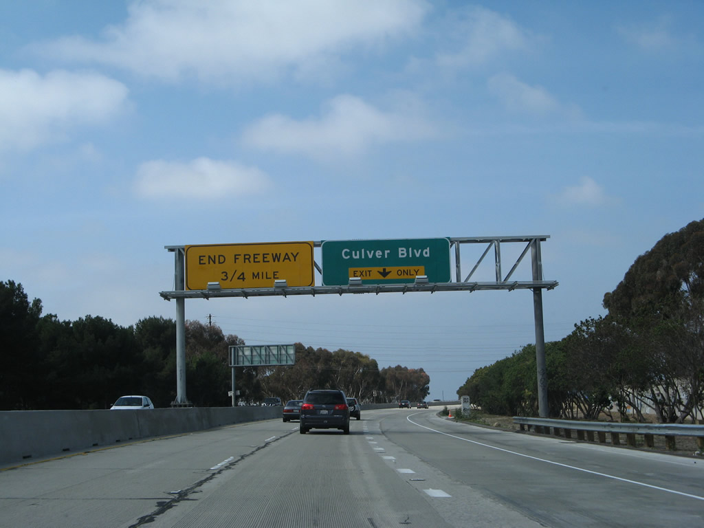
The next exit along California 90 (Marina Freeway) west is Exit 1C, Culver Boulevard. The freeway ends after this grade-separated interchange about 1.25 miles from here (a bit less than the reported 0.75 miles on the yellow advisory sign). The Culver Boulevard interchange was built in 2005 and was open by 2007.
03/25/07
Traffic from Centinela Avenue merges onto California 90 west. Construction efforts in 2005 included new soundwalls and the upcoming Culver Boulevard interchange.
03/25/07
10/30/05
The final exit along California 90 west is Exit 1C, Culver Boulevard.
03/25/07
The replacement for the end freeway overhead shows three fourths of a mile instead of a quarter mile.
10/30/05
Westbound California 90 (Marina Freeway) reaches Exit 1C, Culver Boulevard.
03/25/07
Passing over Culver Boulevard, an empty sign bridge in 2007 was updated in 2011 to show that the freeway ends in 0.25 mile.
03/25/07
California 90 descends from the Culver Boulevard overpass and proceeds onto a frontage road to become the Marina Expressway. Ample space is available if the freeway segment is extended further west from here. The towers ahead are in Marina del Rey.
03/25/07
The expressway segment has three lanes and almost functions like a one-way street, since the other direction of traffic is separated by a large area of open space (presumably reserved for the future freeway expansion).
03/25/07
Westbound California 90/Marina Expressway meets Mindanao Way at this traffic signal.
03/25/07
Westbound California 90 converges with California 1 (Lincoln Boulevard) at a traffic signal in Marina del Rey. No California 1 advance shields are posted, although the blue truck route sign is a hint that the next intersection is with a state route.
03/25/07
No end shield is posted for California 90. California 1 travels south toward Long Beach and north toward Santa Monica via Venice Beach.
03/25/07
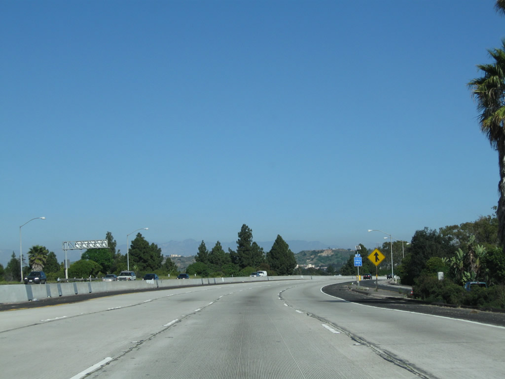
Westbound Slauson Avenue approaches the left turn onto California 90 (Marina Freeway). Use California 90 to Interstate 405 north or continue ahead on Slauson Avenue to Interstate 405 south. There is no ramp from California 90 west to Interstate 405 south.
10/30/05
Eastbound Slauson Avenue at the right turn onto California 90 (Marina Freeway) to Interstate 405 north.
07/03/05
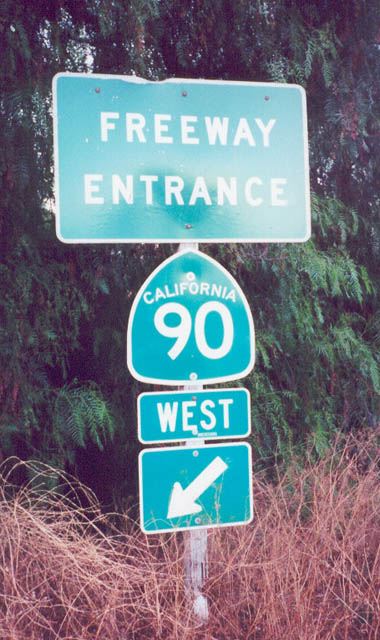
This freeway entrance for California 90 used to be posted on Kellogg Drive at the sole on-ramp for the two-lane Richard M. Nixon Parkway in Yorba Linda. This assembly has since been removed, as the parkway is no longer considered a freeway.
09/16/00
A variable message sign is posted on eastbound La Palma Avenue in Anaheim just west of California 90 (Imperial Highway).
07/15/06
Photo Credits:
- Andy Field: 09/16/00, 01/30/05, 07/03/05, 10/30/05, 07/15/06, 03/25/07, 02/13/11
Connect with:
Page Updated Saturday March 12, 2011.