
State Route 99 North - Chico to Red Bluff
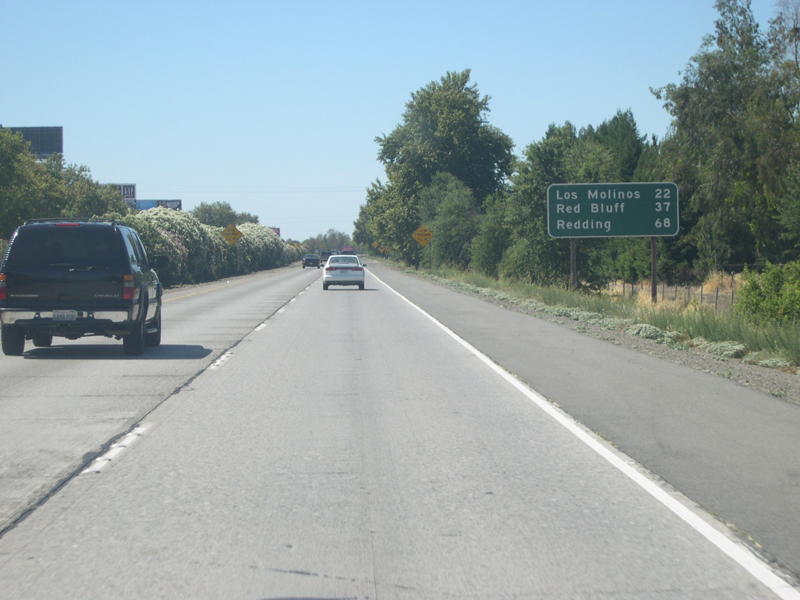
This mileage sign is posted after the on-ramp from Eaton Road; it provides the distance to Los Molinos (22 miles), Red Bluff (37 miles), and Redding (68 miles).
07/03/07
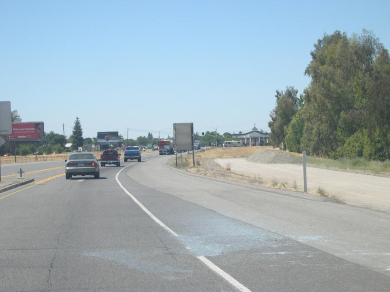
Soon thereafter, the California 99 freeway again comes to an end, and the two northbound lanes merge into one lane.
07/03/07
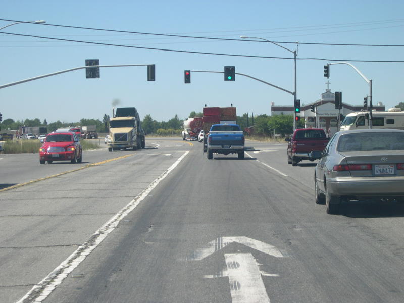
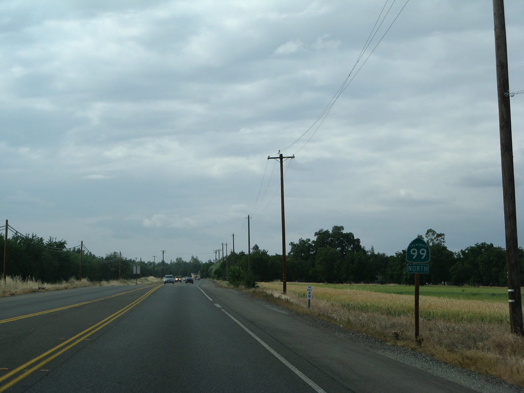
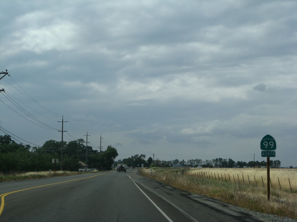
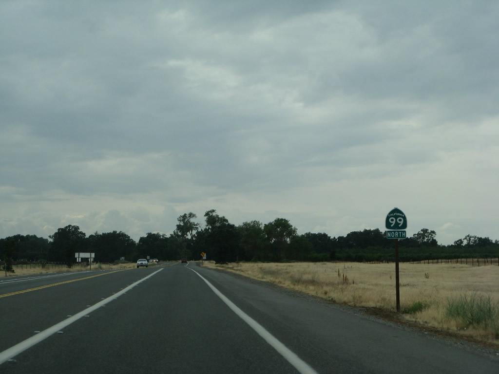
Northbound California 99 approaches a signalized intersection with Garner Lane. Land at the northeastern corner of this intersection was previously set aside for an interchange on a once-proposed easterly alignment of California 99 that was never constructed.
07/03/07
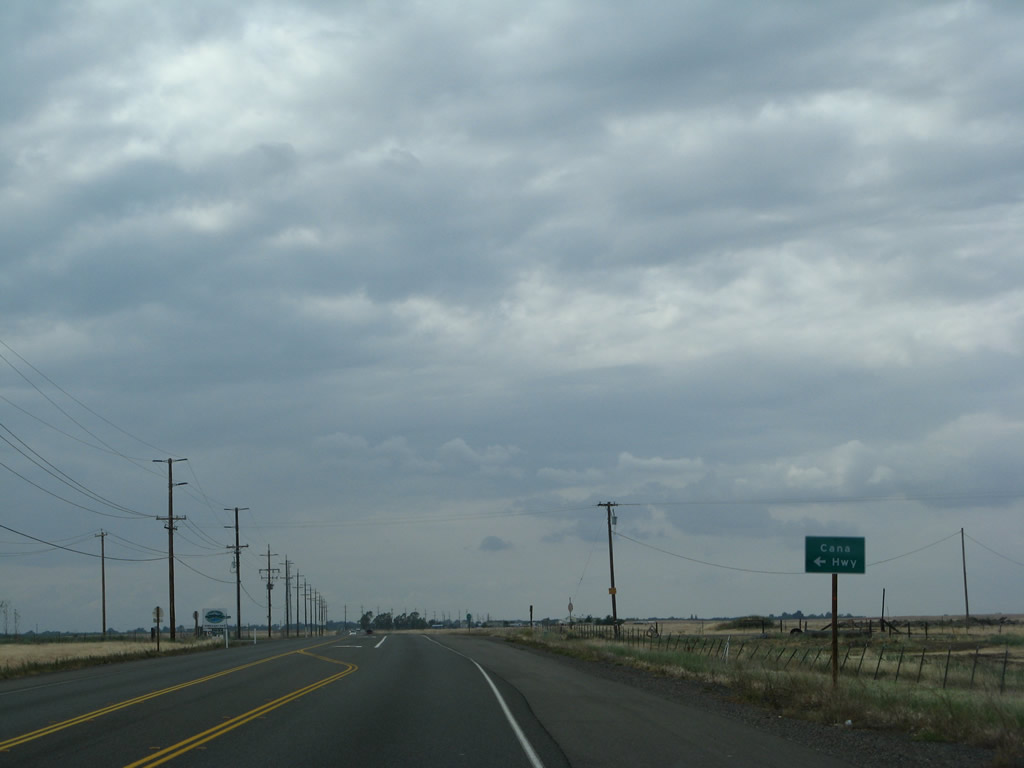
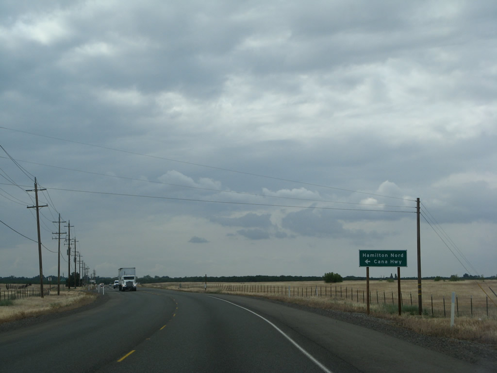
![The next intersection along California 99 north after Garner Lane is with Esplanade (California 99 Business south to downtown Chico) [not shown]. The following intersection along northbound is Wilson Landing Road, which travels west to Hamilton Nord Cana Highway.](../../ca/099/ca-099_nb_n_chico_05.jpg)
The next intersection along California 99 north after Garner Lane is with Esplanade (California 99 Business south to downtown Chico) [not shown]. The following intersection along northbound is Wilson Landing Road, which travels west to Hamilton Nord Cana Highway.
05/24/08
A California 99 north reassurance shield is posted after the Wilson Landing Road intersection.
05/24/08
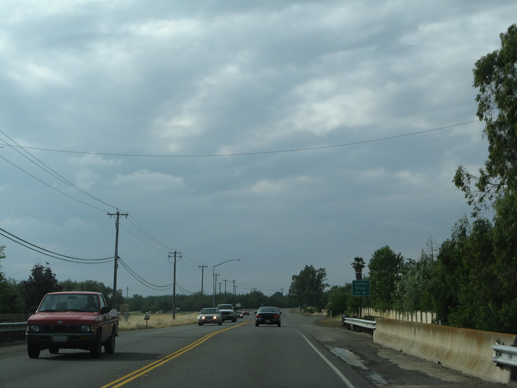
The next intersection along California 99 north is with Garden Brook Drive.
05/24/08
Another California 99 north route marker is posted after the Anita Road intersection.
05/24/08
This bridge carries California 99 over Rock Creek; the bridge was built in 1950.
05/24/08

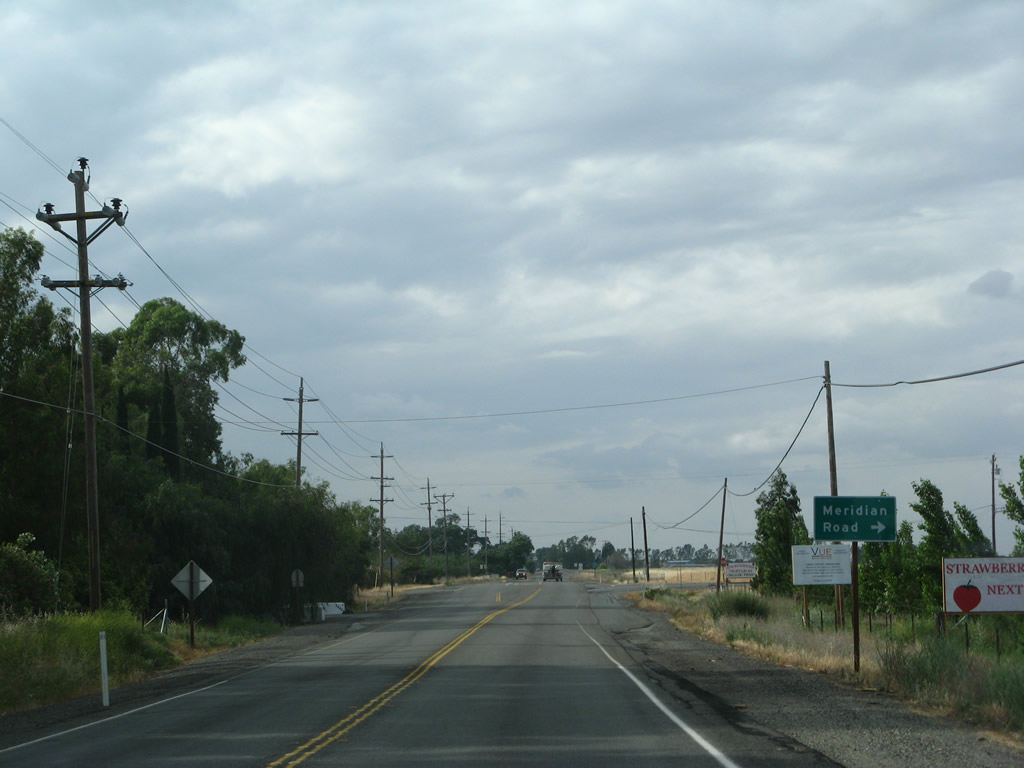
The next intersection along northbound California 99 is with Meridian Road.
05/24/08
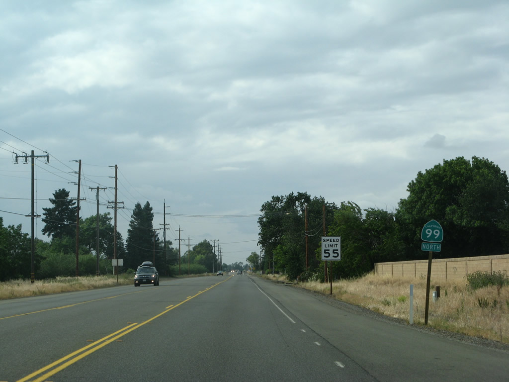
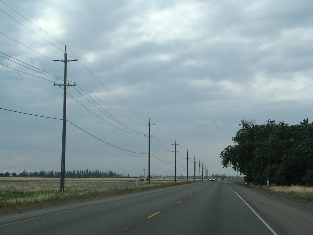
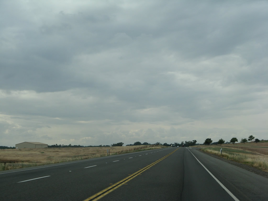
California 99 remains a rural, two-lane highway through northern Butte County.
05/24/08
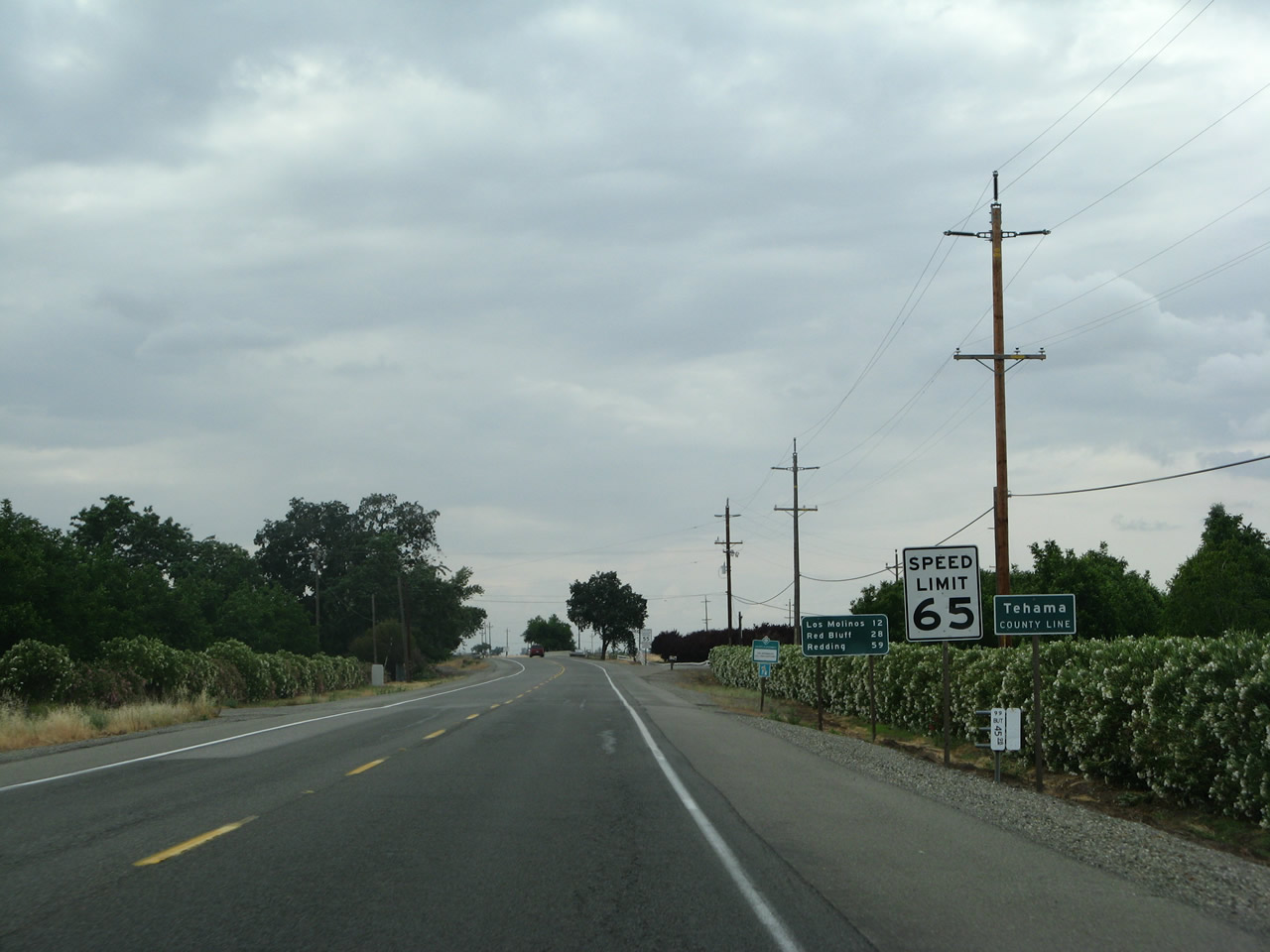
California 99 leaves Butte County and enters Tehama County. A companion mileage sign at the county line provides the distance to Los Molinos (12 miles), Red Bluff (28 miles), and Redding (59 miles).
05/24/08
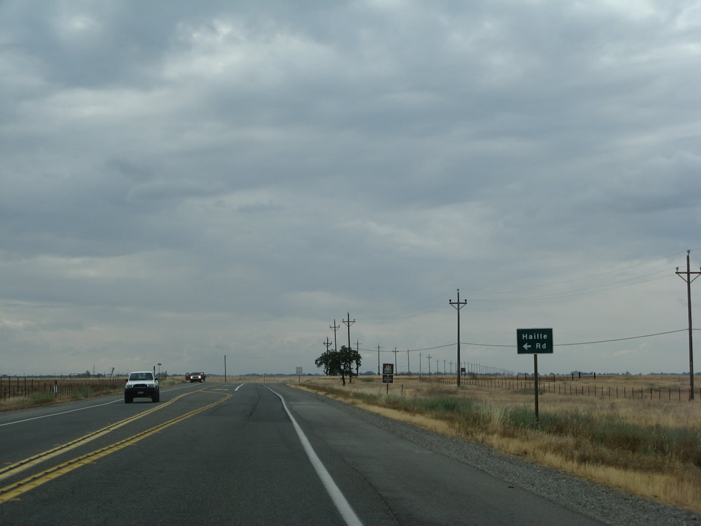
Northbound California 99 meets Haille Road and gains a passing lane after the intersection.
05/24/08
California 99 briefly has two northbound lanes between Haille Road and a point just south of Rowles Road and Lassen Road.
05/24/08
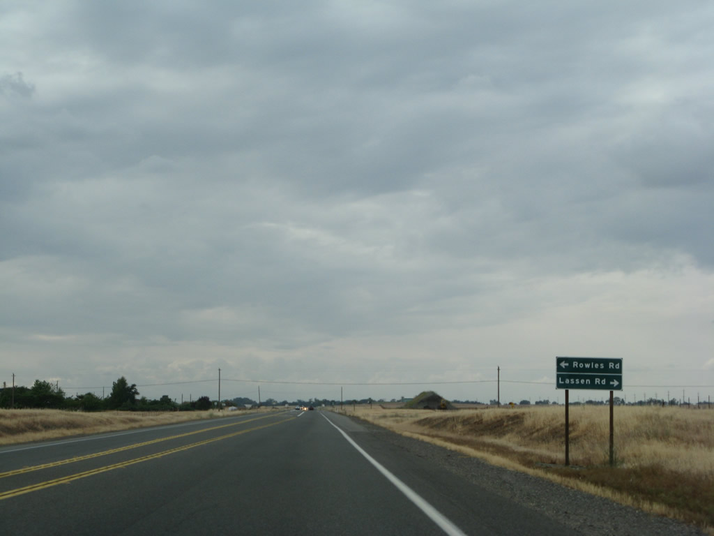
Northbound California 99 approaches the intersection with Rowles Road and Lassen Road.
05/24/08
Soon thereafter, the southbound lanes have a passing lane.
05/24/08
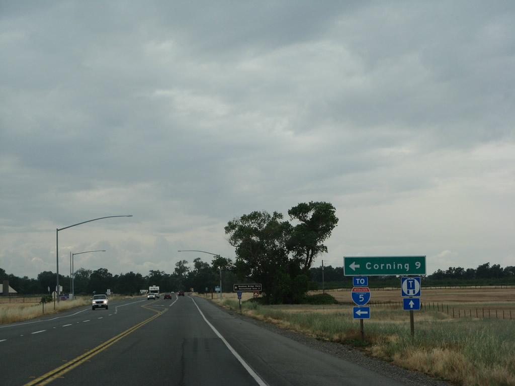
Northbound California 99 approaches Tehama County Route A-9 (South Avenue) west to Corning and Interstate 5.
05/24/08
A Tehama County Route A-9 trailblazer is posted shortly thereafter. CR A-9 travels between California 99 and Interstate 5 in the Sacramento Valley.
05/24/08
A California 99 north confirming shield assembly is posted shortly after the CR A-9 intersection.
05/24/08
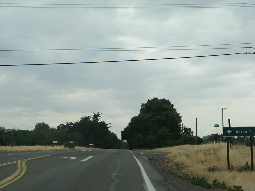
Northbound California 99 approaches the turnoff to Vina Road west to the unincorporated community of Vina.
05/24/08
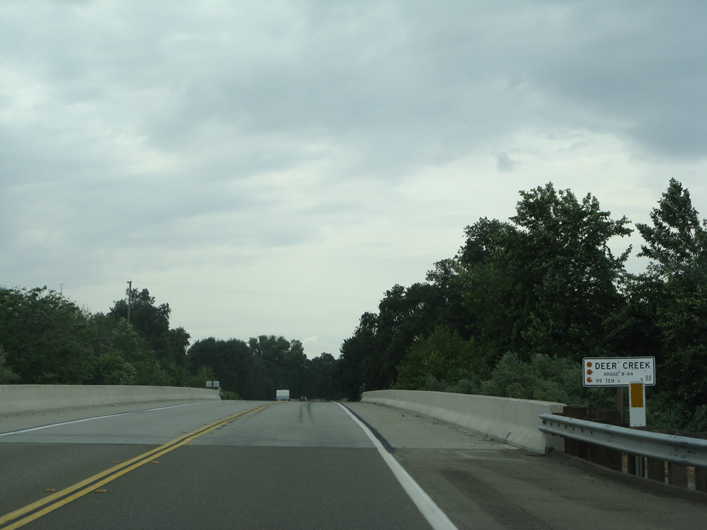
California 99 north crosses Deer Creek on this 2002 bridge.
05/24/08

Between Vina and Los Molinos, California 99 stays closer to the east bank of the Sacramento River, and terrain changes as we approach the northern end of the great valley.
05/24/08
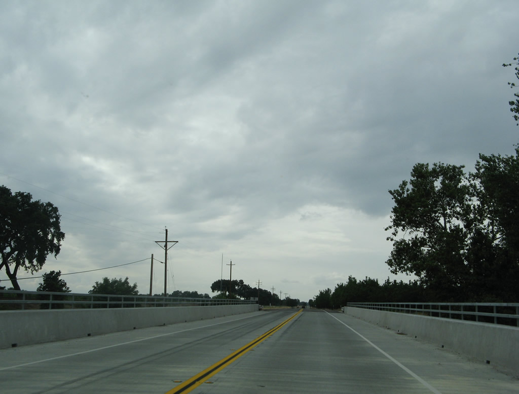
California 99 passes over Toomes Creek on this 2007 bridge.
05/24/08
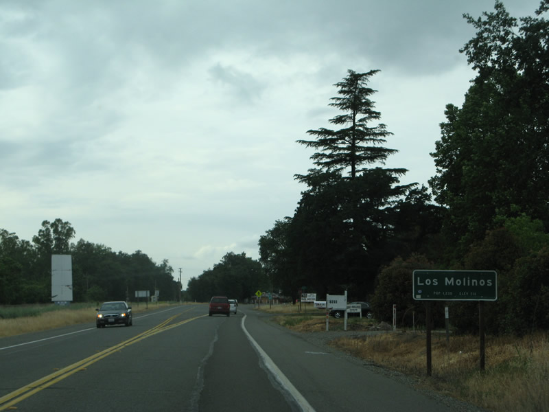
Northbound California 99 enters the unincorporated community of Los Molinos (population 2,037 as of the 2010 Census).
05/24/08
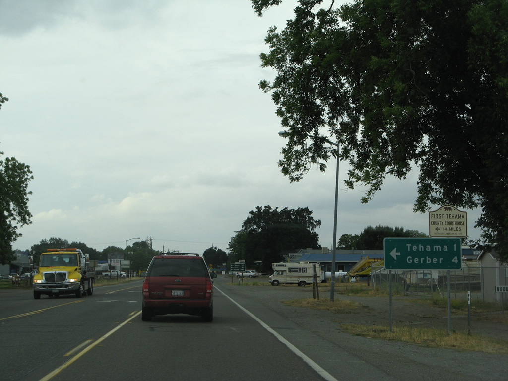
After passing through the center of Los Molinos, northbound California 99 approaches Tehama County Route A-8 (Aramayo Way), which travels west across the Sacramento River to the community of Tehama. Once in Tehama, CR A-8 will turn north on Fifth Street and eventually find its way to Red Bluff, merging with Old Highway 99W in Proberta and with Business Loop I-5 near Red Bluff. At the same intersection, Tehama County Route A-11 will begin its journey south and west along Gyle Road to Interstate 5 Exit 636.
05/24/08
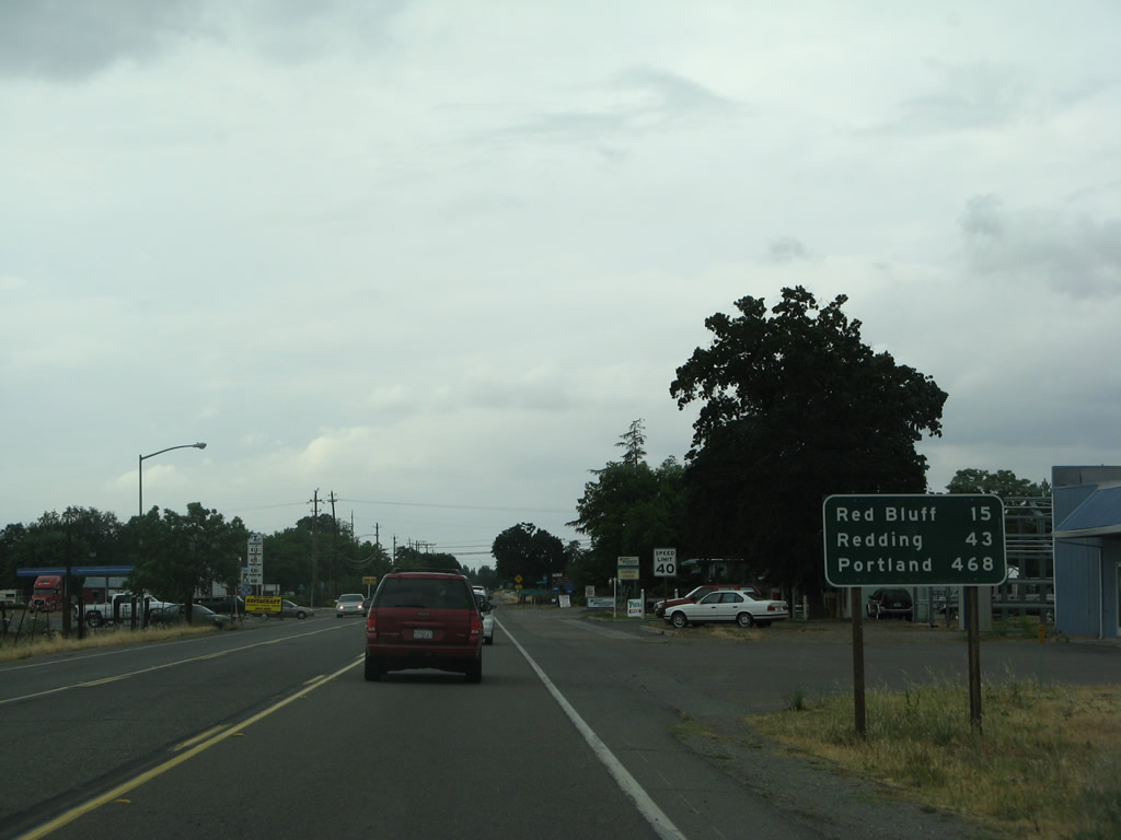
After the CR A-8 intersection, this mileage sign along northbound California 99 provides the distance to Red Bluff (15 miles), Redding (43 miles), and Portland (468 miles).
05/24/08
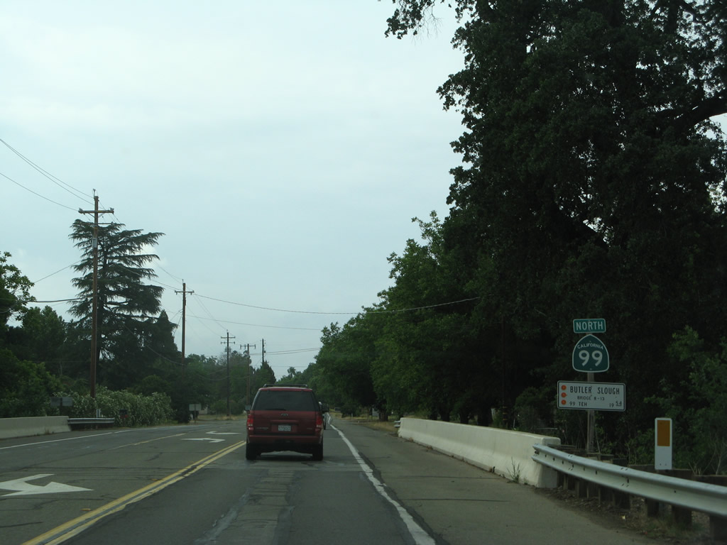
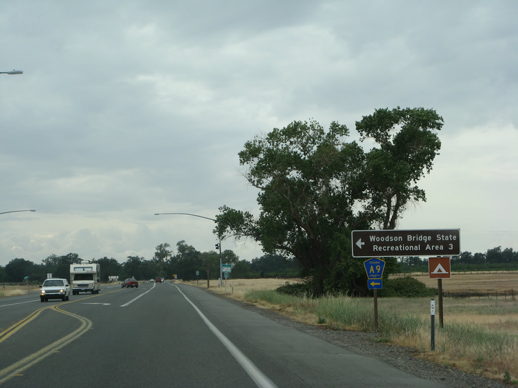
Between Los Molinos and the California 36 intersection, California 99 sees several intersecting side streets to provide local residential and ranch access. This is the final northbound reassurance shield for California 99.
05/24/08
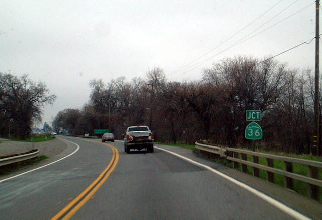
Eventually, California 99 north approaches California 36 east of Red Bluff.
01/20/03

California 36 leads east to Lassen National Volcanic Park and Susanville. This sign photo was taken along northbound California 99 approaching California 36.
01/20/03
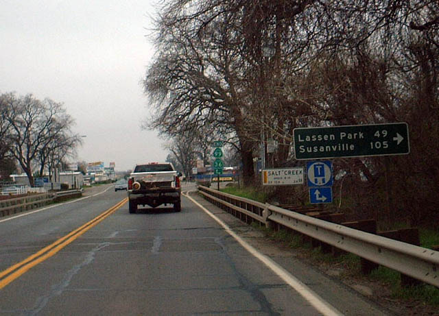
Northbound California 99 ends at its junction with California 36. It does not meet Interstate 5 or enter Red Bluff.
01/20/03
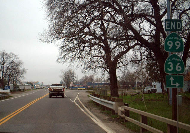
California 99 used to merge onto California 36 west for the final distance into Red Bluff, but the route was retracted to this point in order to avoid route duplication. If California 99 was ever expanded to freeway standards, the proposed route would meet Interstate 5 just south of the city of Red Bluff.
01/20/03
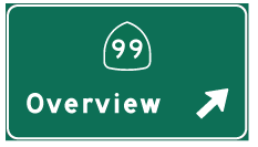
Photo Credits:
- Dominic Ielati: 07/03/07
- Andy Field: 01/20/03, 05/24/08
Connect with:
Page Updated Wednesday January 25, 2012.