
State Route 128 East - Rutherford to Winters
Leaving California 29, eastbound California 128 continues through Rutherford toward Lake Berryessa and Winters.
07/07/07
Vineyards and wineries are located along California 128 as the state highway crosses the Napa Valley.
07/07/07
California 128 crosses Bale Slough on this 1921 bridge.
07/07/07
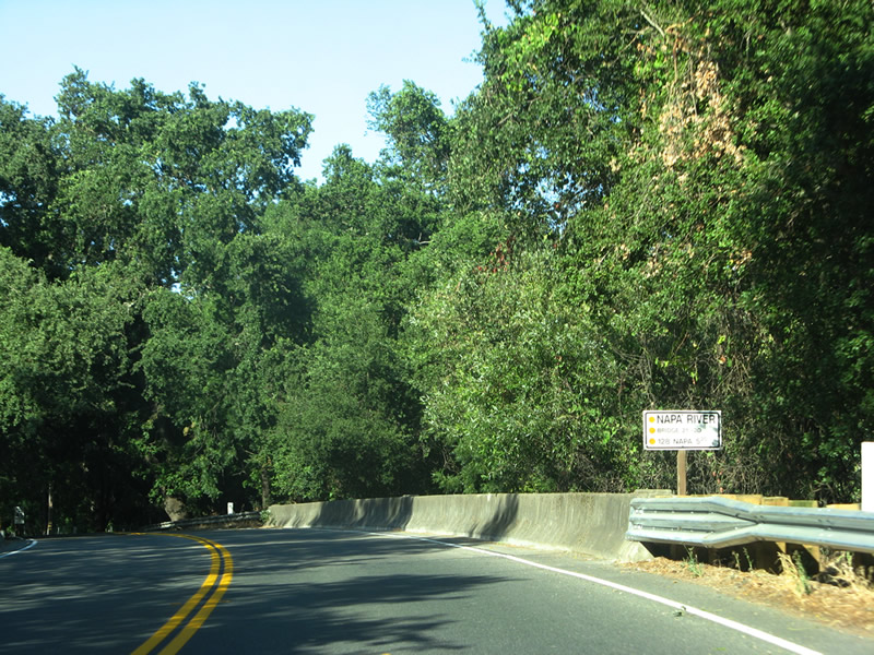
Immediately east of Bale Slough is the 1981 bridge taking SR 128 across the Napa River.
07/07/07
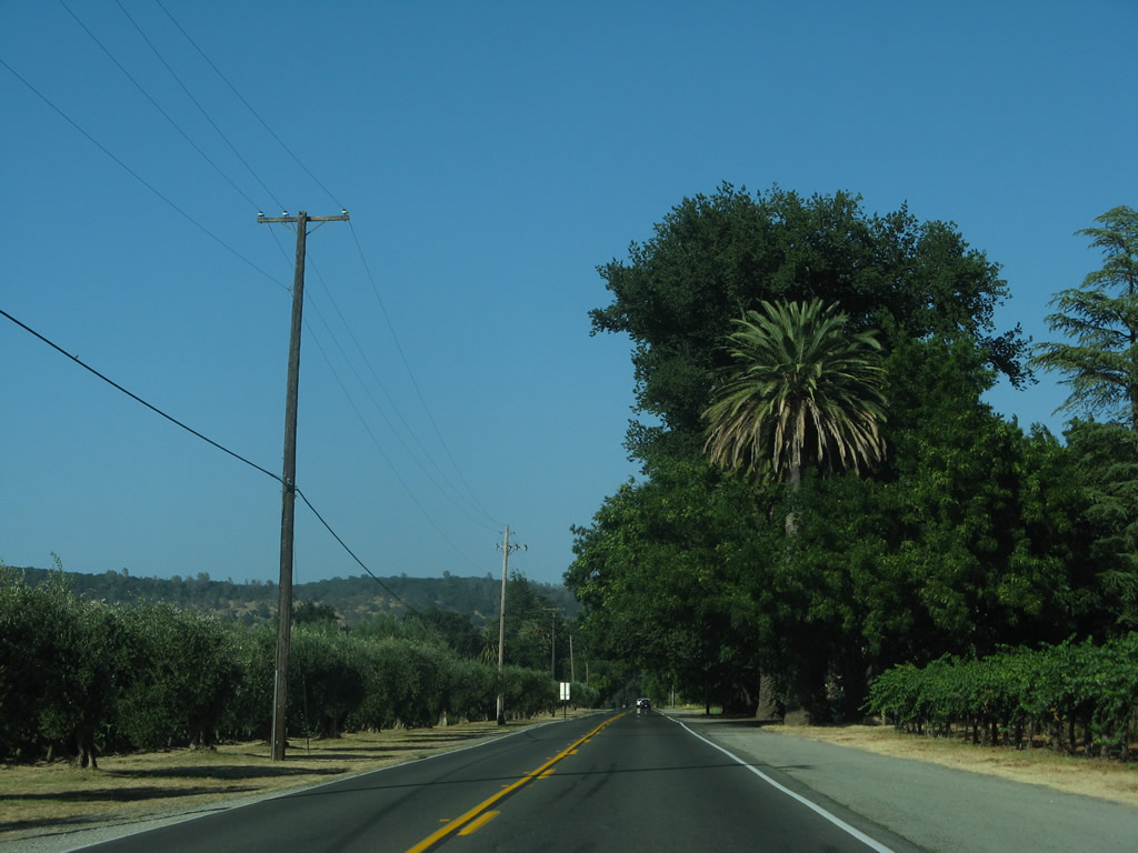
Orchards and vineyards line both sides of California 128 in Napa Valley.
07/07/07
Eastbound SR 128 overtakes Conn Creek Road north from a sharp turn to avoid Caymus Vineyards.
07/07/07
This SR 128 east reassurance shield appears along Conn Creek Road north of Rutherford Road.
07/07/07
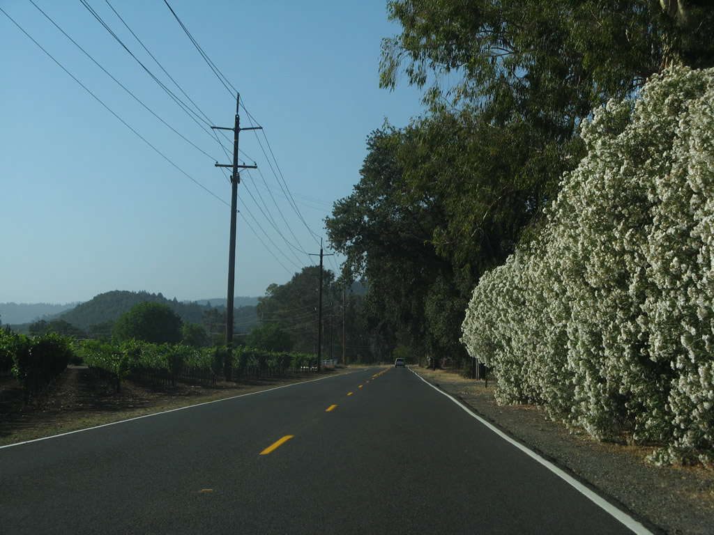
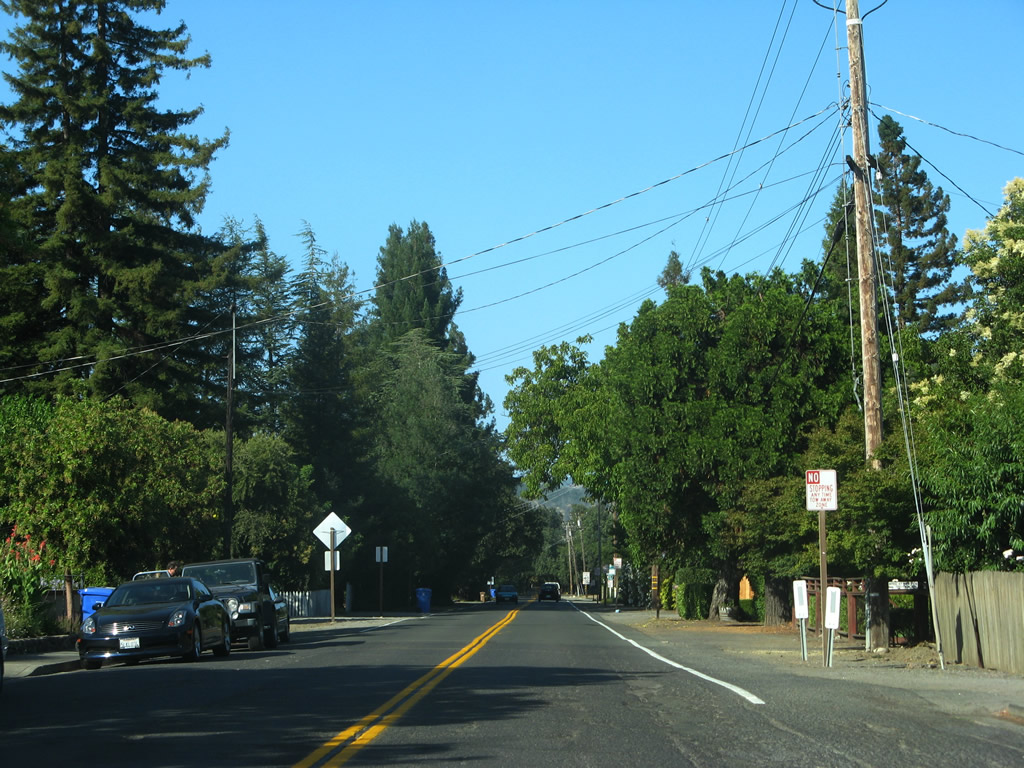
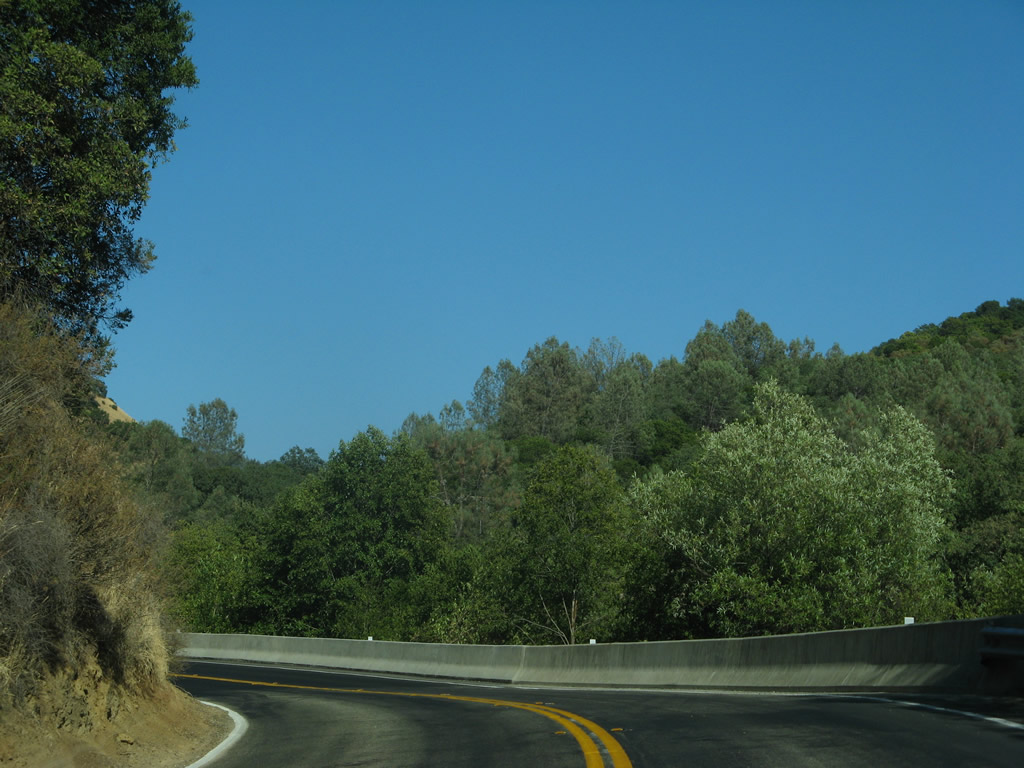
A bank of oleander lines the right side of eastbound California 128 across from another vineyard.
07/07/07
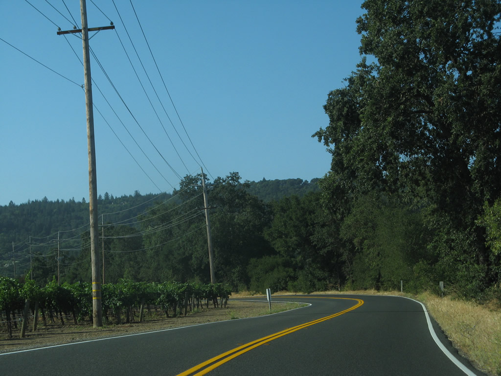
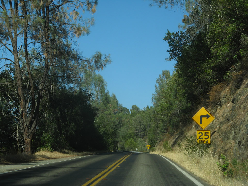
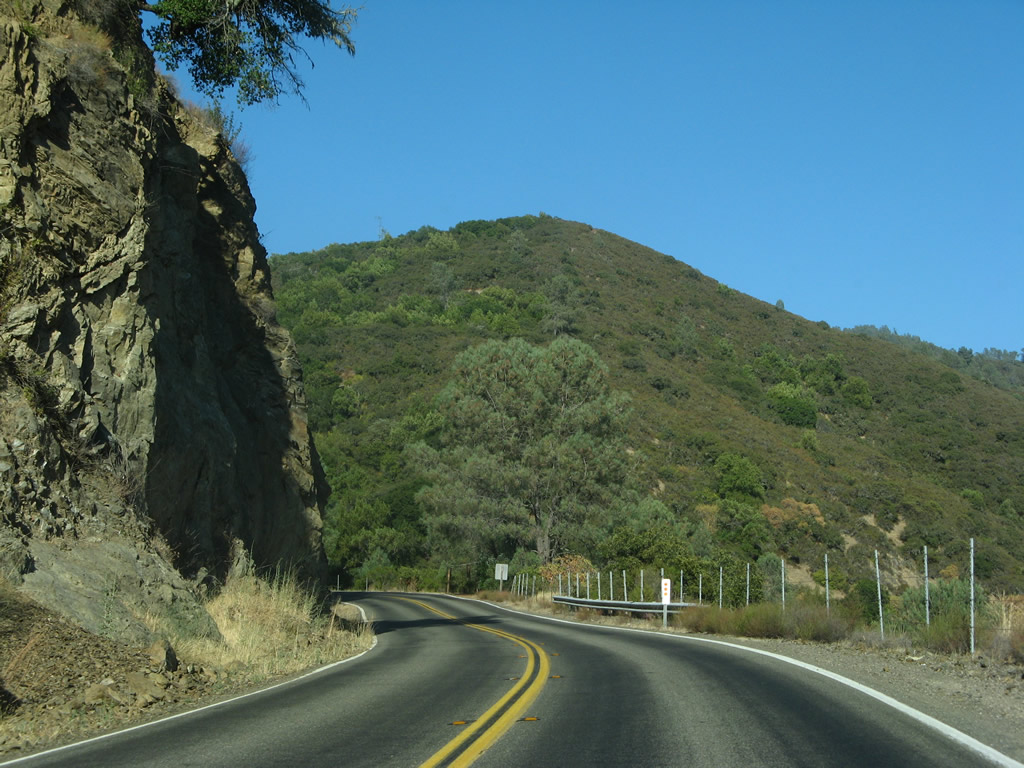
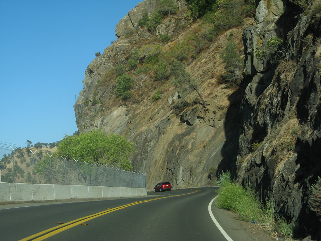
Paralleling Conn Creek to the west, SR 128 makes a series of S-curves as the eastern edge of Napa Valley becomes visible.
07/07/07
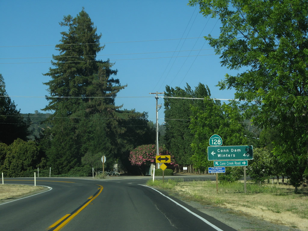
SR 128 turns east on Silverado Trail for 0.12 miles to span Conn Creek. Silverado Trail runs northwest to Calistoga and south to the city of Napa.
07/07/07
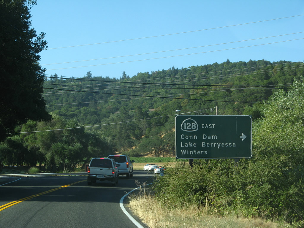
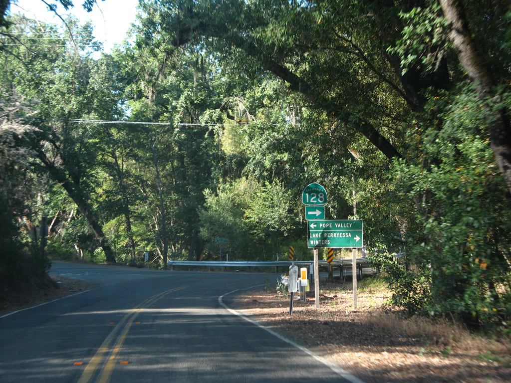
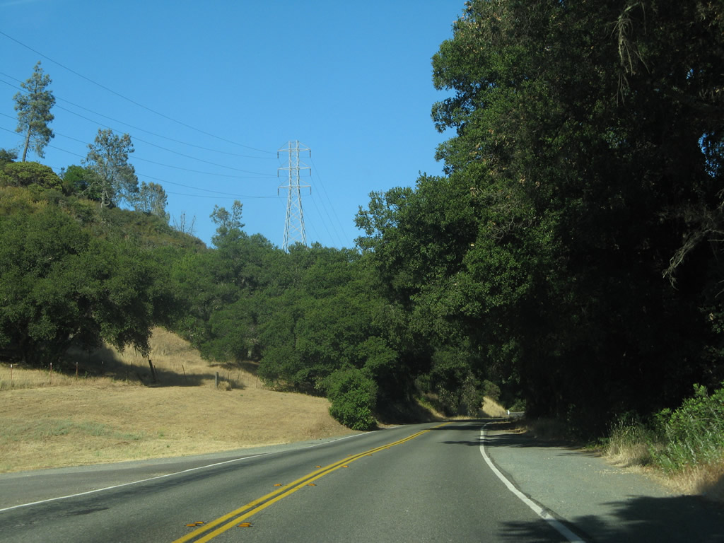
Beyond Silverado Trail, SR 128 lines Sage Canyon Road east toward Conn Dam (Hennessey Lake), Lake Berryessa and Winters.
07/07/07
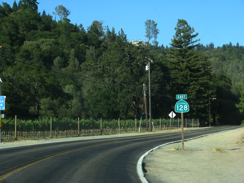
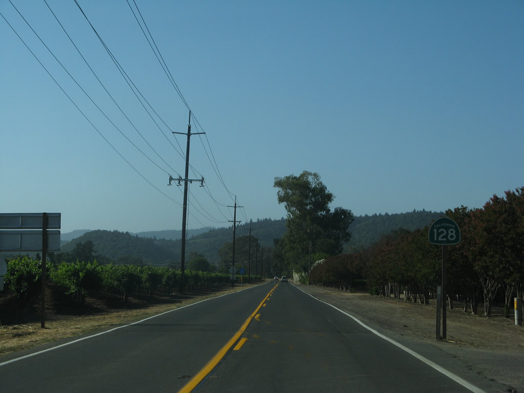
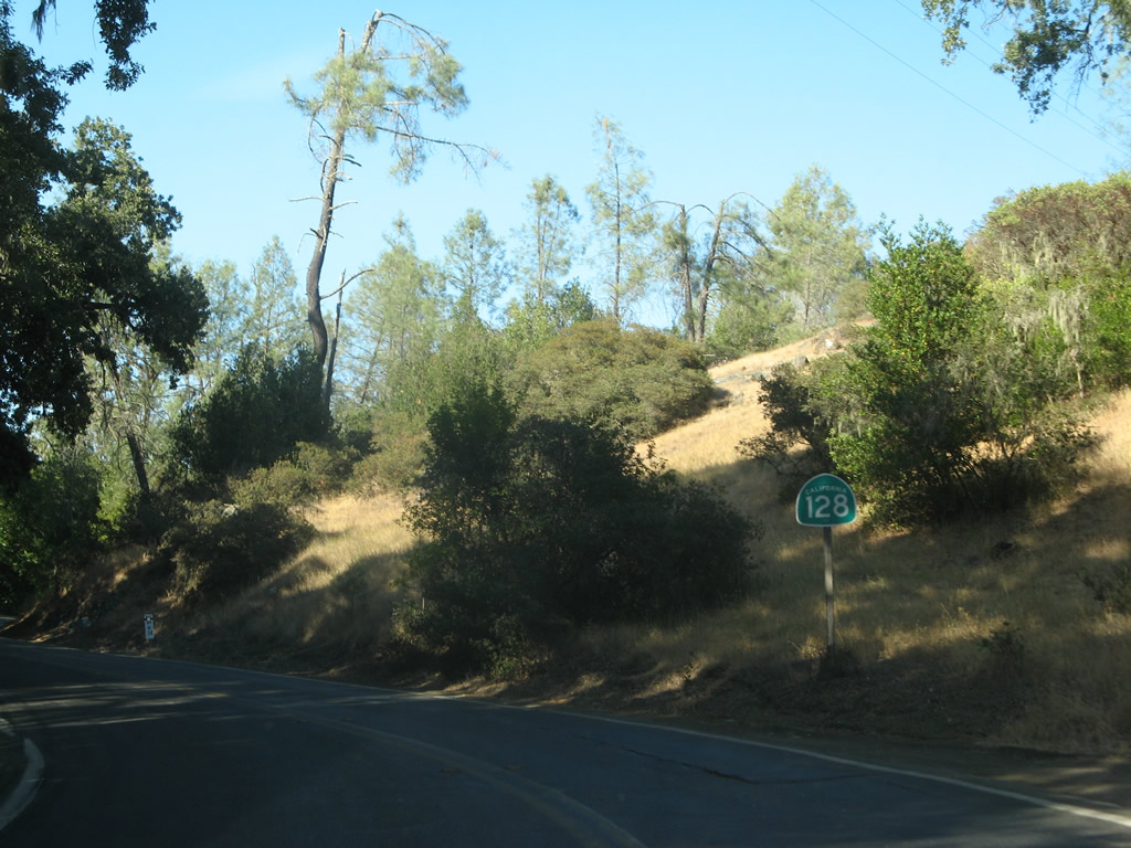
This California 128 east shield is posted along Sage Canyon Road after the intersection with Silverado Trail.
07/07/07
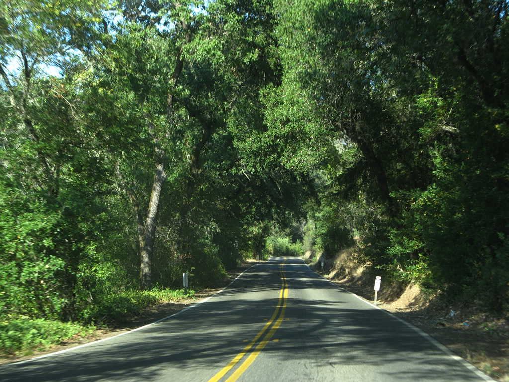
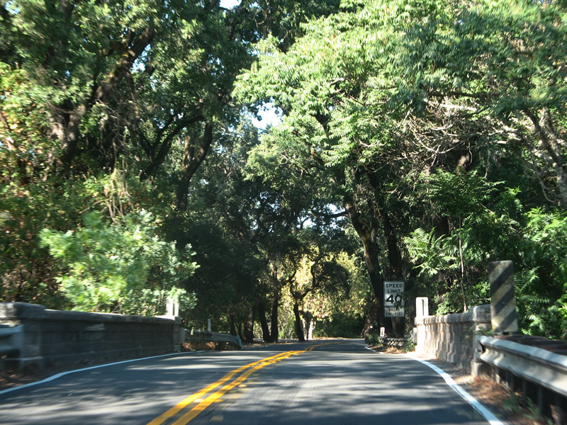
Sage Canyon Road resembling a canopy road.
07/07/07
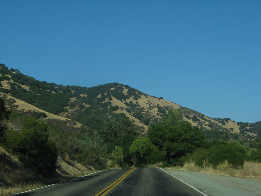
Continuing east, California 128 (Sage Canyon Road) skirts the southern edge of Hennessey Lake, which is held back by Conn Dam and supplies drinking water to the city of Napa.
07/07/07
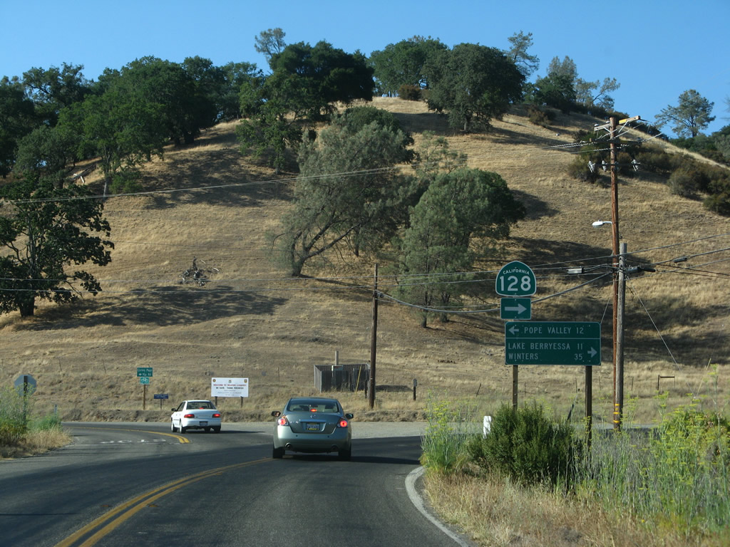
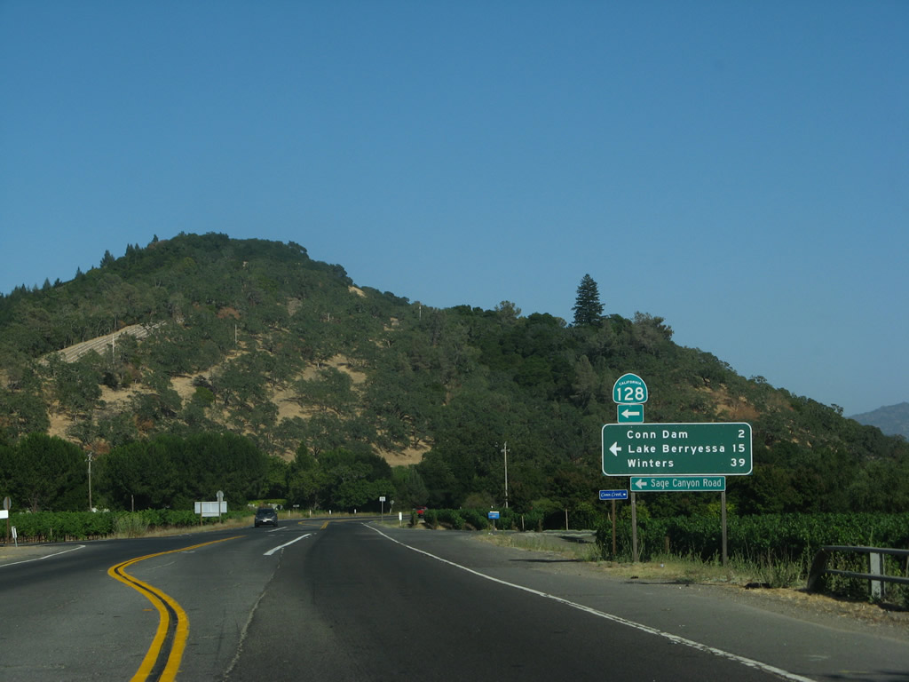
Chiles-Pope Valley Road stems 12 miles north from SR 128 (Sage Canyon Road) to Pope Valley (12 miles) and Butts Canyon.
07/07/07
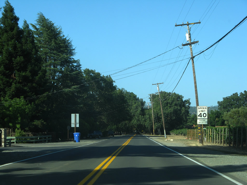
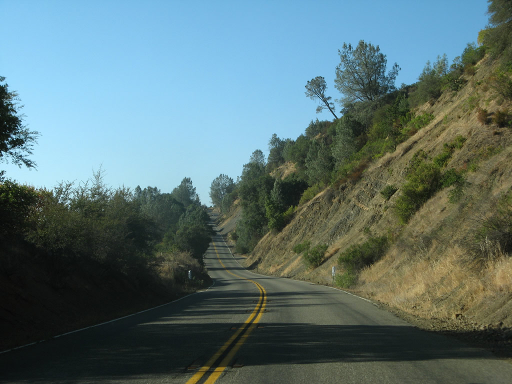
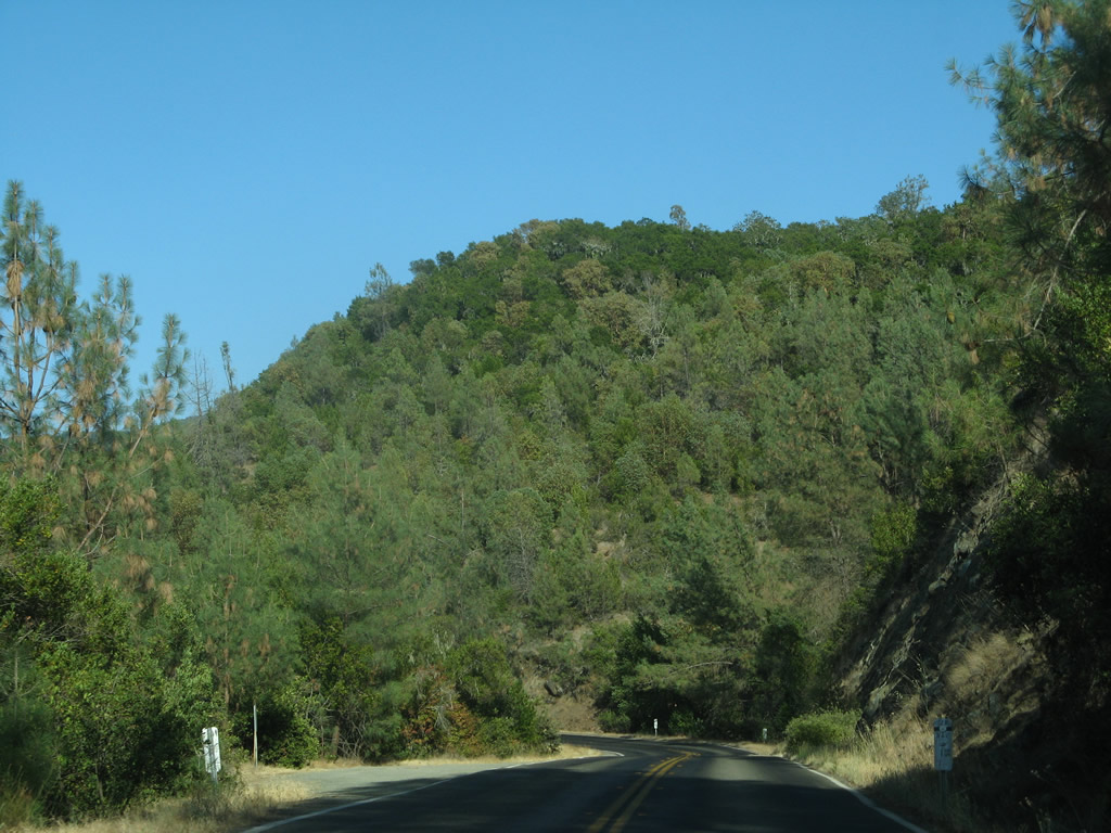
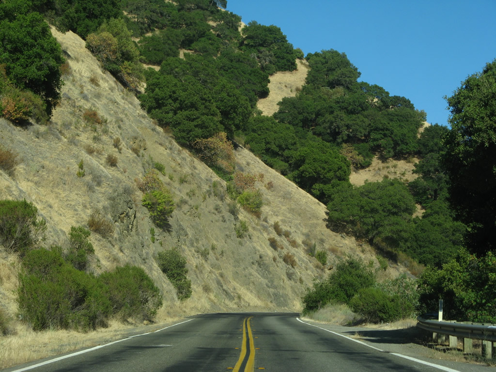
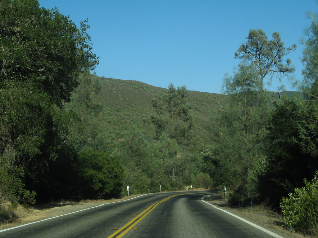
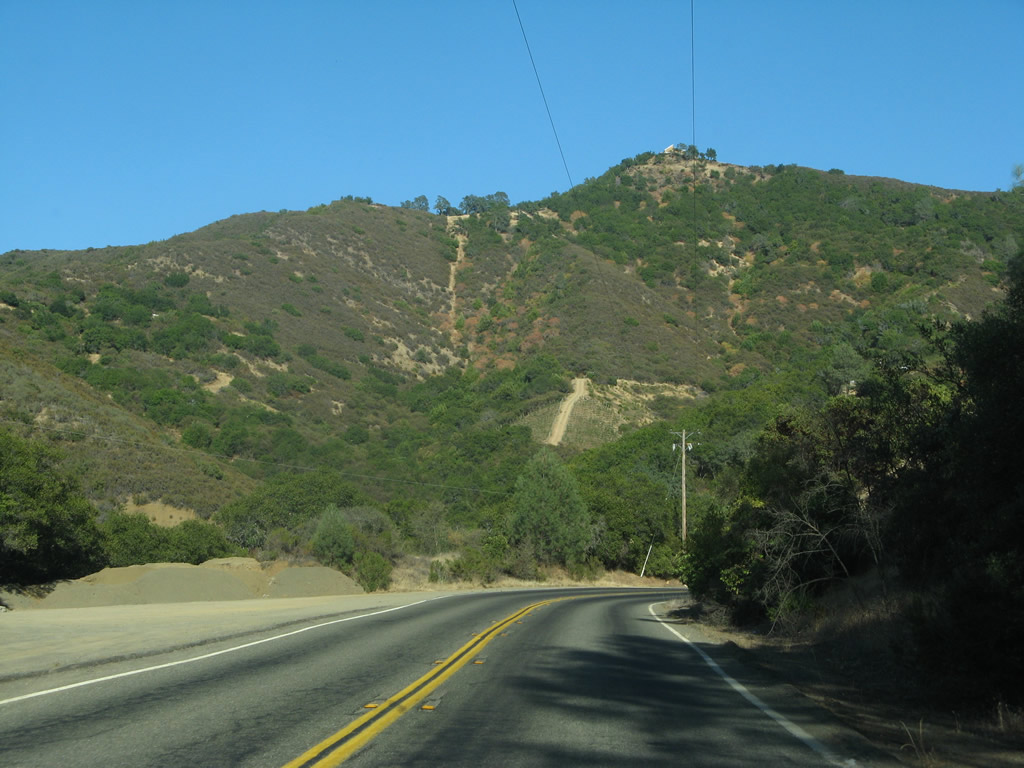
Heading east into Sage Canyon, SR 128 gains 500 feet of elevation while traversing rugged terrain to Chiles Valley.
07/07/07
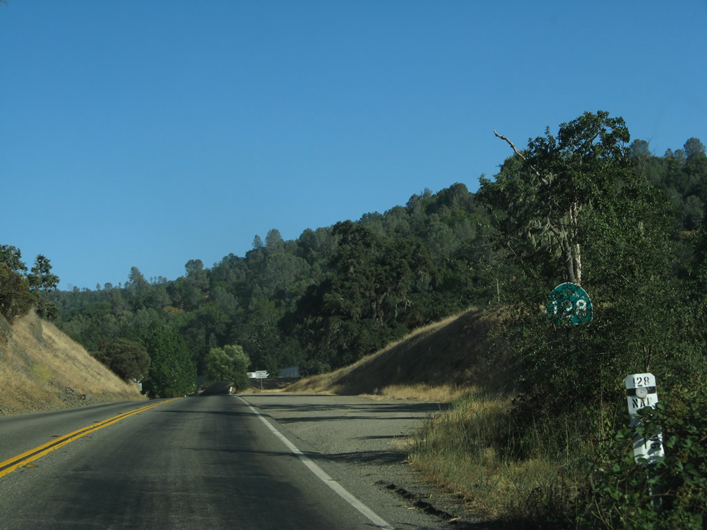
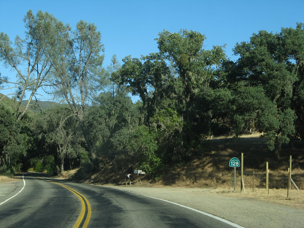
Leaving Sage Canyon, SR 128 leads north to intersect Lower Chiles Road north to the nearby Nichelini Winery vineyards and Pope Valley. This sign assembly was removed after 2013.
07/07/07
The State Route 128 reassurance shield posted after Lower Chiles Road was removed by 2022.
07/07/07
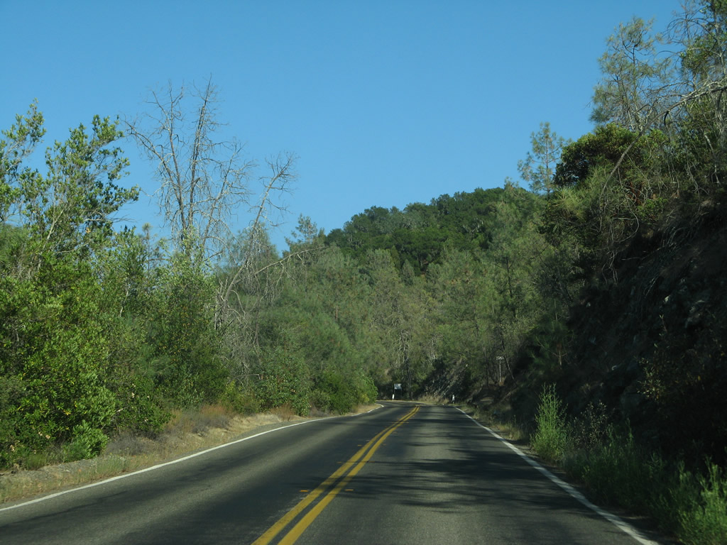
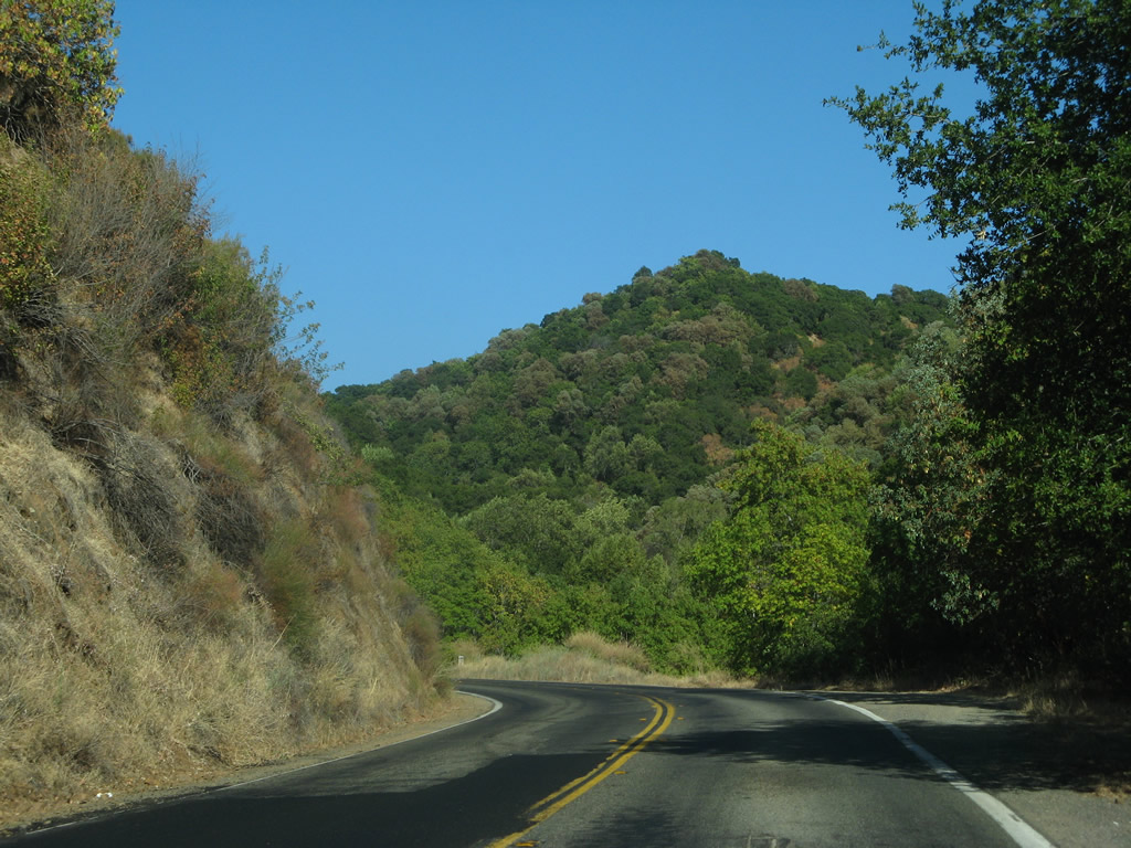
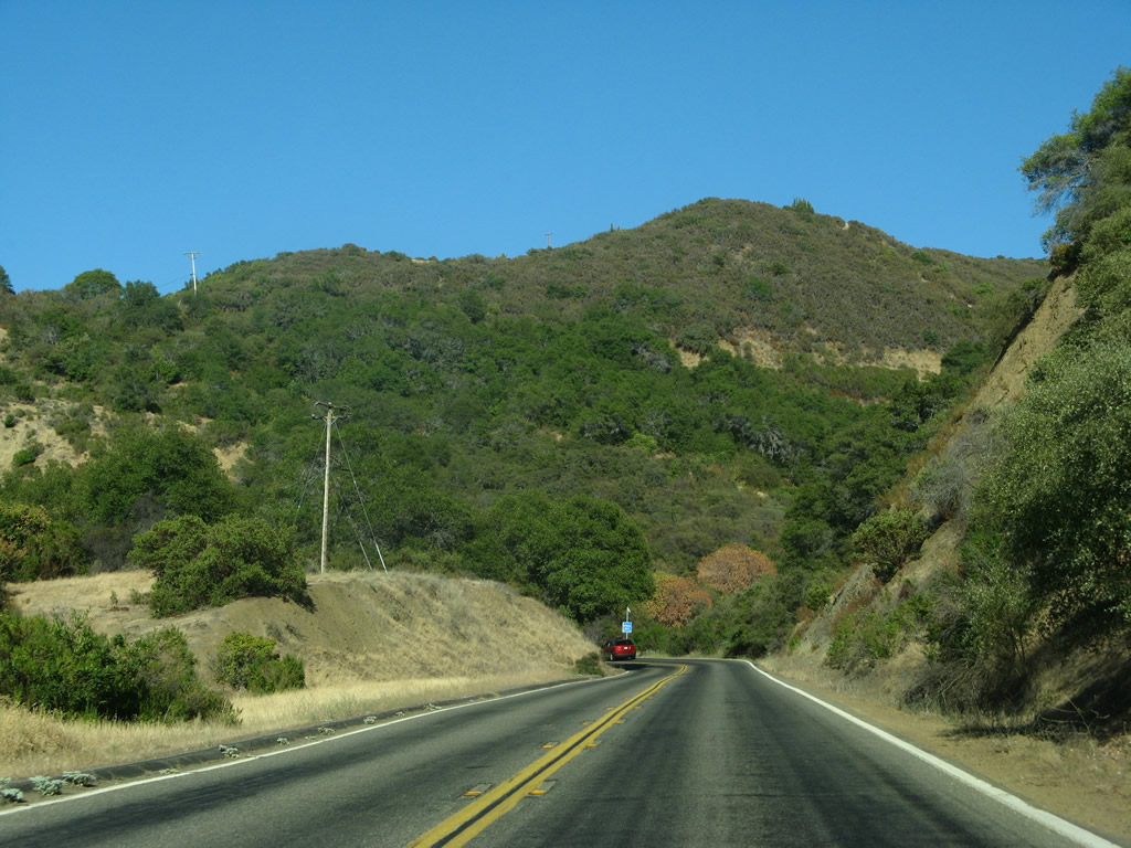
Continuing east, California 128 (Sage Canyon Road) passes through some vineyards and large tracts of open space south of Elder Valley and Soda Valley.
07/07/07
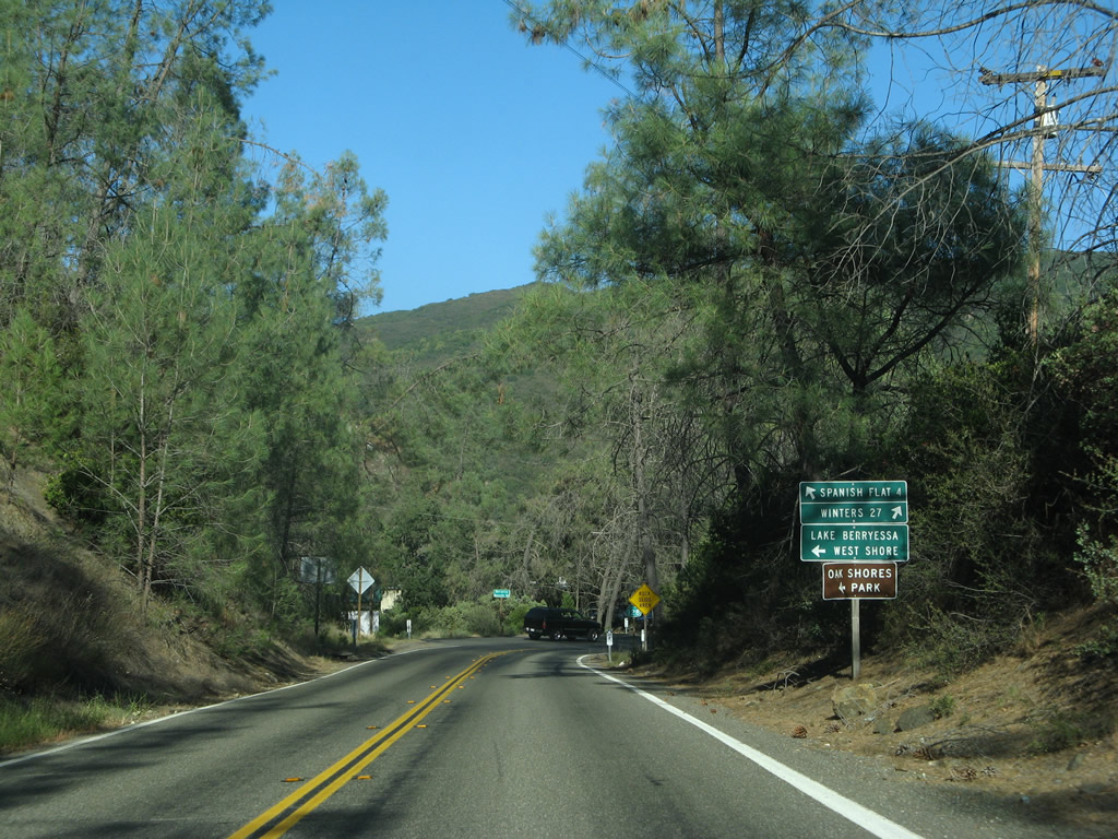
Forthcoming Berryessa-Knoxville Road travels north to the west shore of Lake Berryessa and the site of Knoxville. The road turns northwest past the old Homestake-McLaughlin Mine near the northern tip of Napa County, then becomes Morgan Valley Road upon crossing into Lake County en route to Lower Lake.
07/07/07
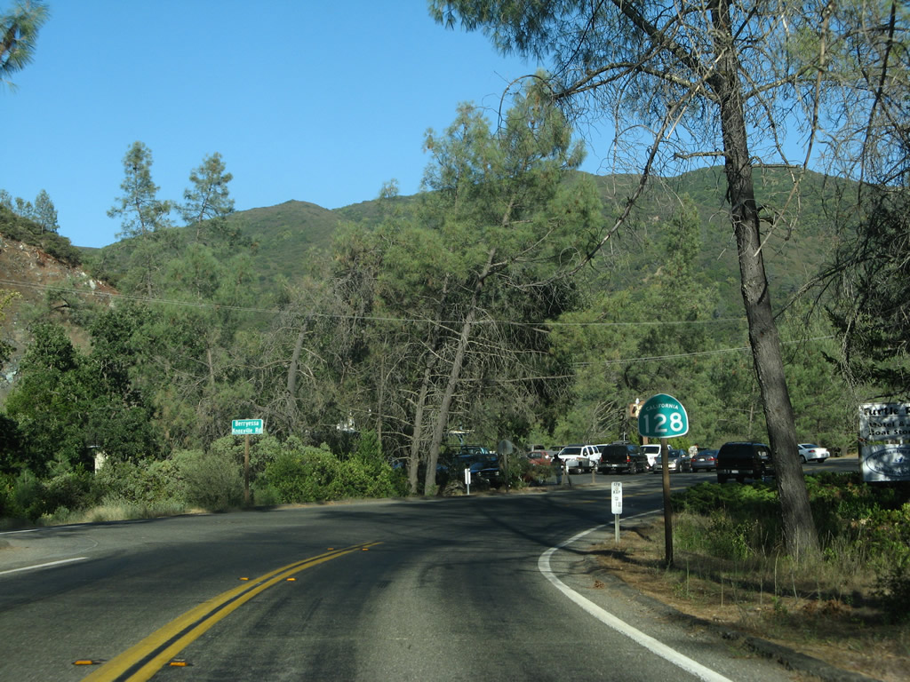
South from Berryessa-Knoxville Road, SR 128 follows Capell Valley Road along Capell Creek.
07/07/07
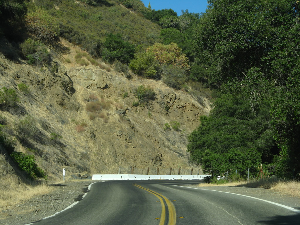
The 1945 bridge taking SR 128 (Capell Valley Road) across Capell Creek was replaced during 2020-21 road work.
07/07/07
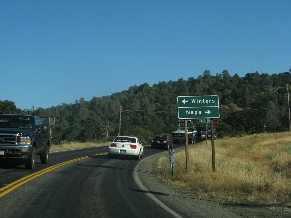
Advancing southeast, SR 128 (Capell Valley Road) crosses Capell Valley to the north end of SR 121 (Monticello Road).
07/07/07
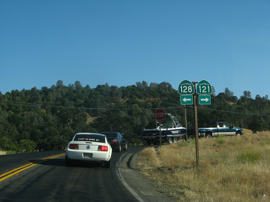
SR 121 (Monticello Road) travels south from Moskowite Corner to Napa.
07/07/07
The confirming marker for SR 128 east of SR 121 was gone by 2021.
07/07/07
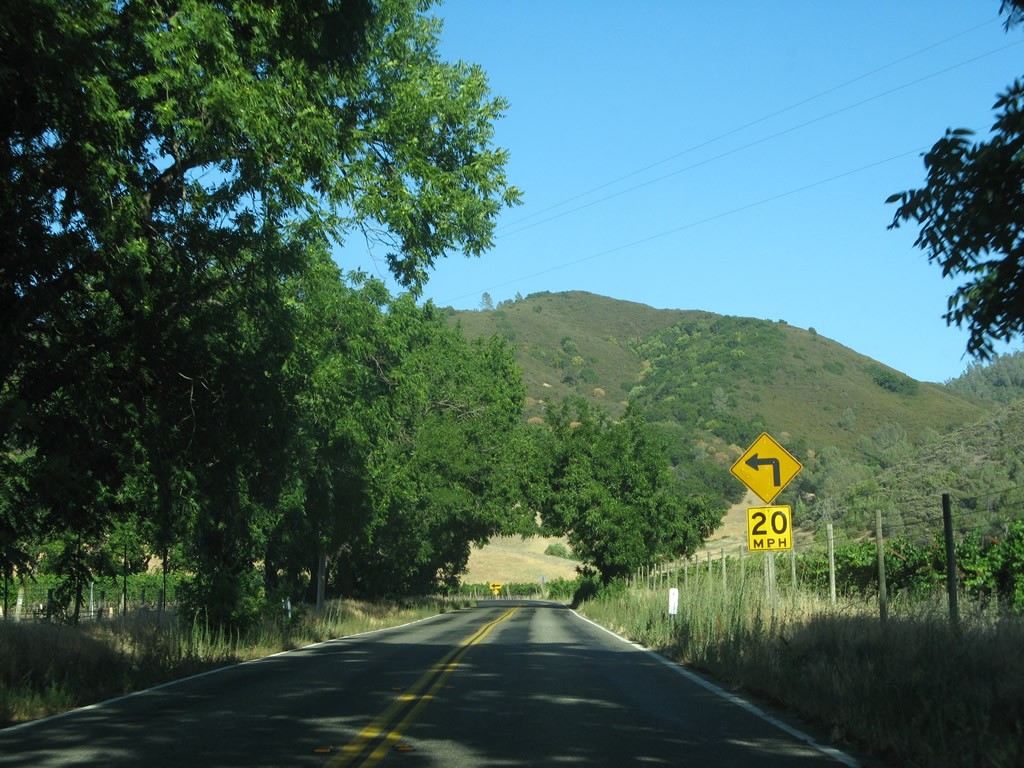
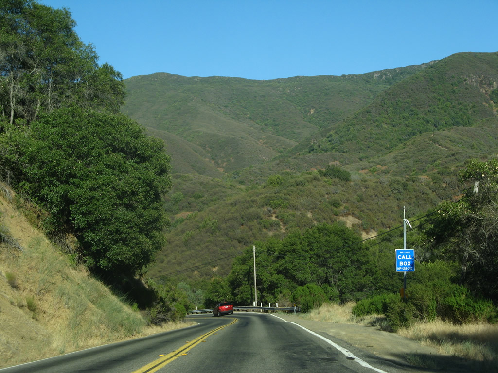
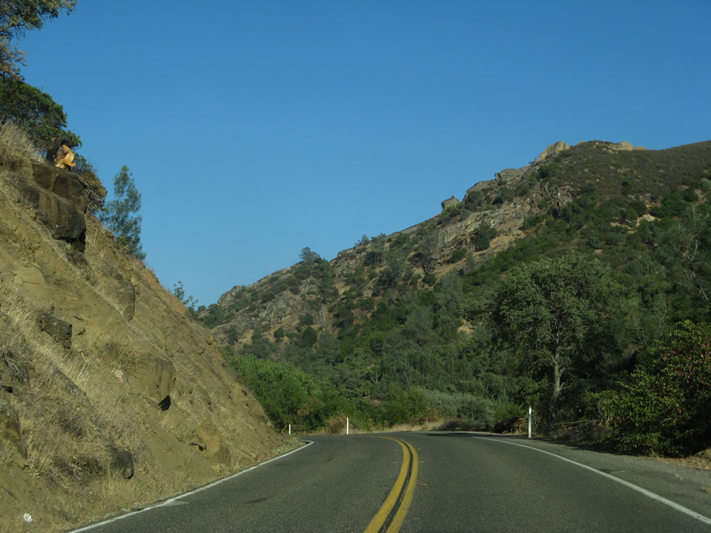
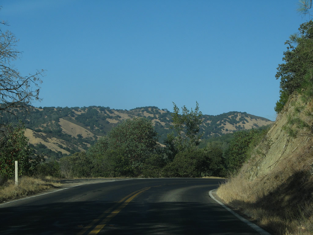
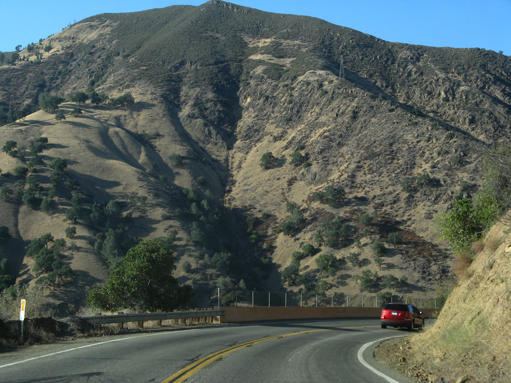
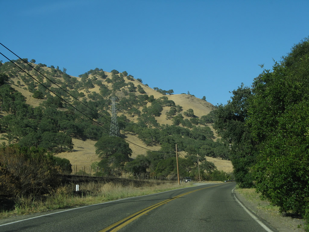
Continuing east from Moskowite Corner, SR 128 passes through the Vaca Mountains, which brings more rugged terrain. The state route parallels Wragg Creek east to the west side of Blue Ridge, where the highway turns north to Wragg Canyon.
07/07/07
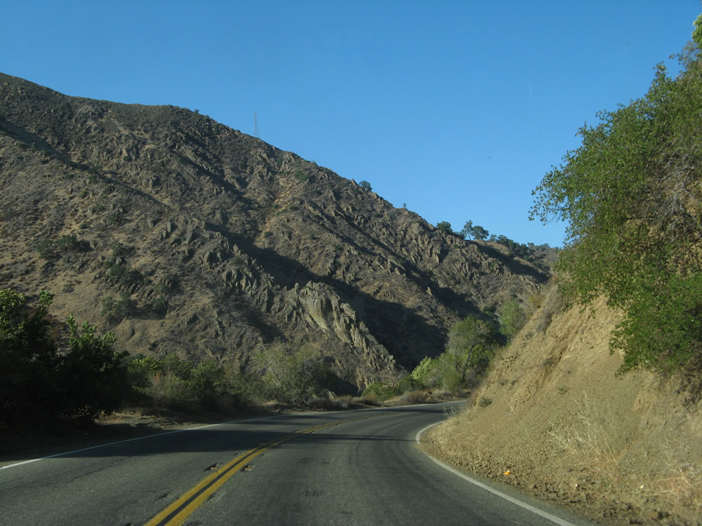
Navigating through numerous S-curves, SR 128 ascends from Cherry Valley to East Mitchel Canyon and Markley Canyon in the Vaca Mountains.
07/07/07
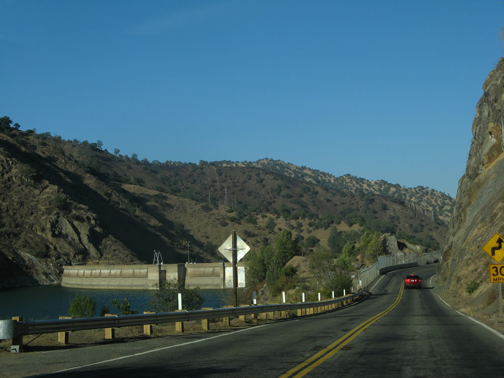
Monticello Dam comes into view to the north at the southeastern corner of Lake Berryessa.
07/07/07
SR 128 straddles northern reaches of Blue Ridge near Monticello Dam.
07/07/07
SR 128 leaves Napa County and enters Solano County between Monticello Dam and Gold Canyon.
07/07/07
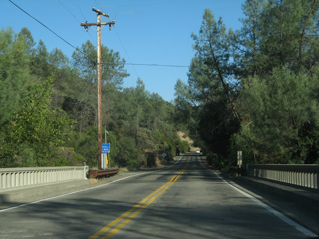
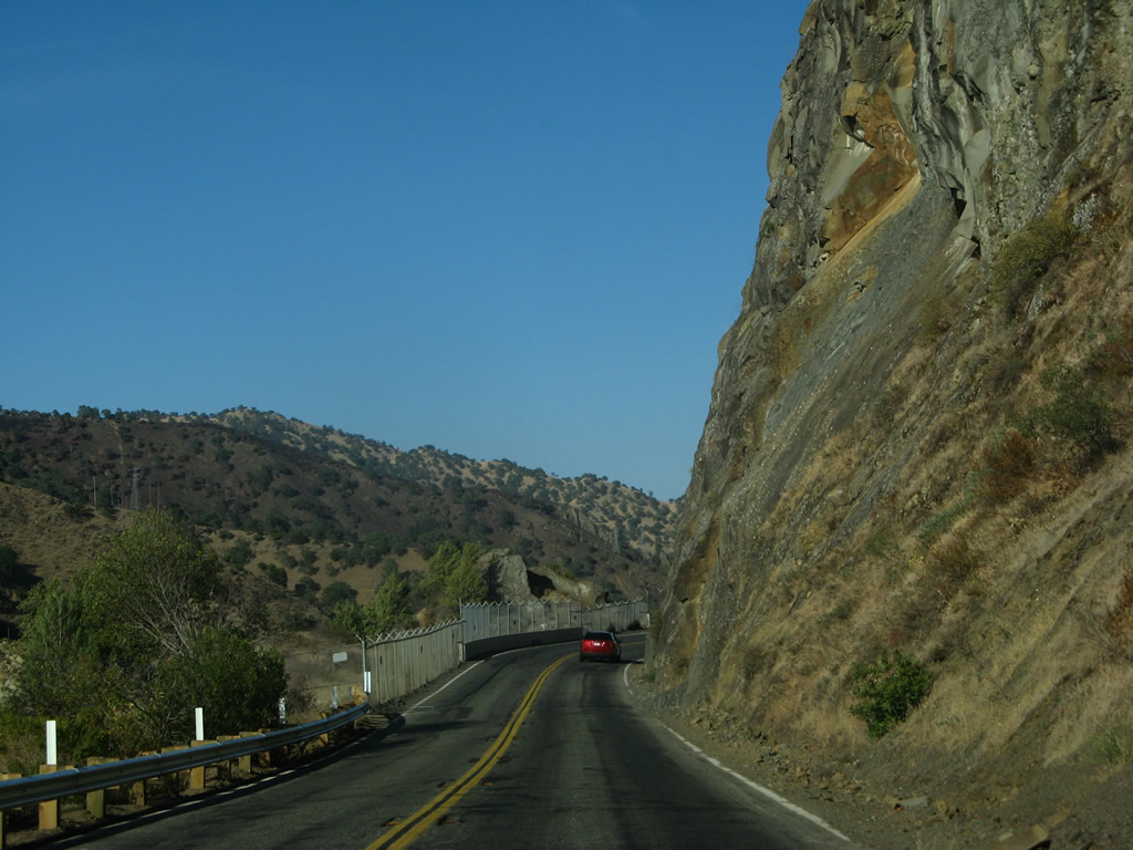
East from Lake Berryessa, State Route 128 follows Putah Creek toward Winters.
07/07/07
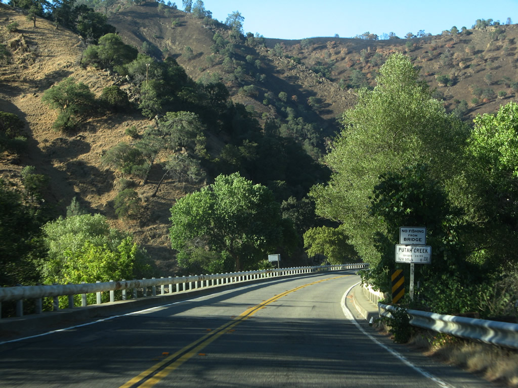
California 128 only nips the northwestern corner of Solano County before Putah Creek on this 1954 bridge.
07/07/07
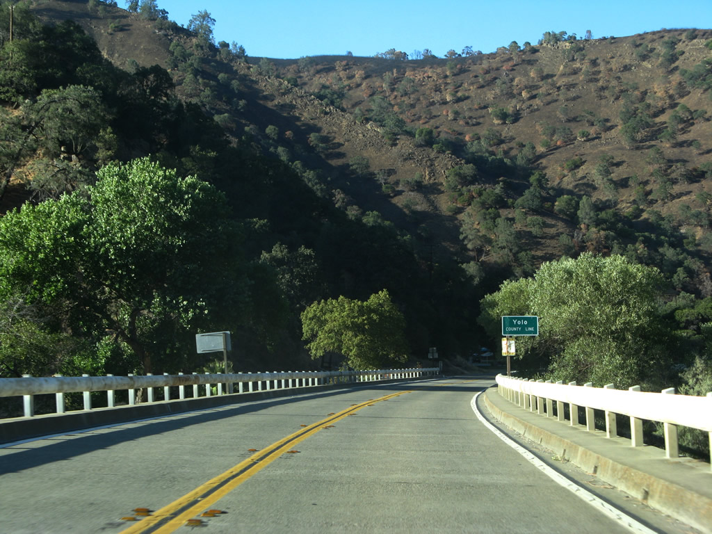
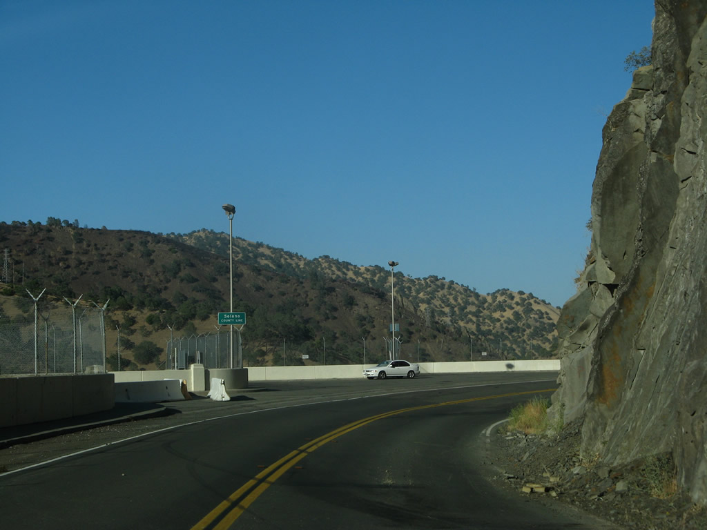
Putah Creek serves as the Solano-Yolo County line, so California 128 east enters Yolo County.
07/07/07
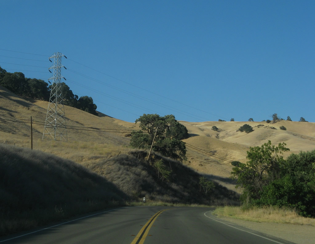
California 128 gradually descends toward the Central Valley alongside Putah Creek.
07/07/07
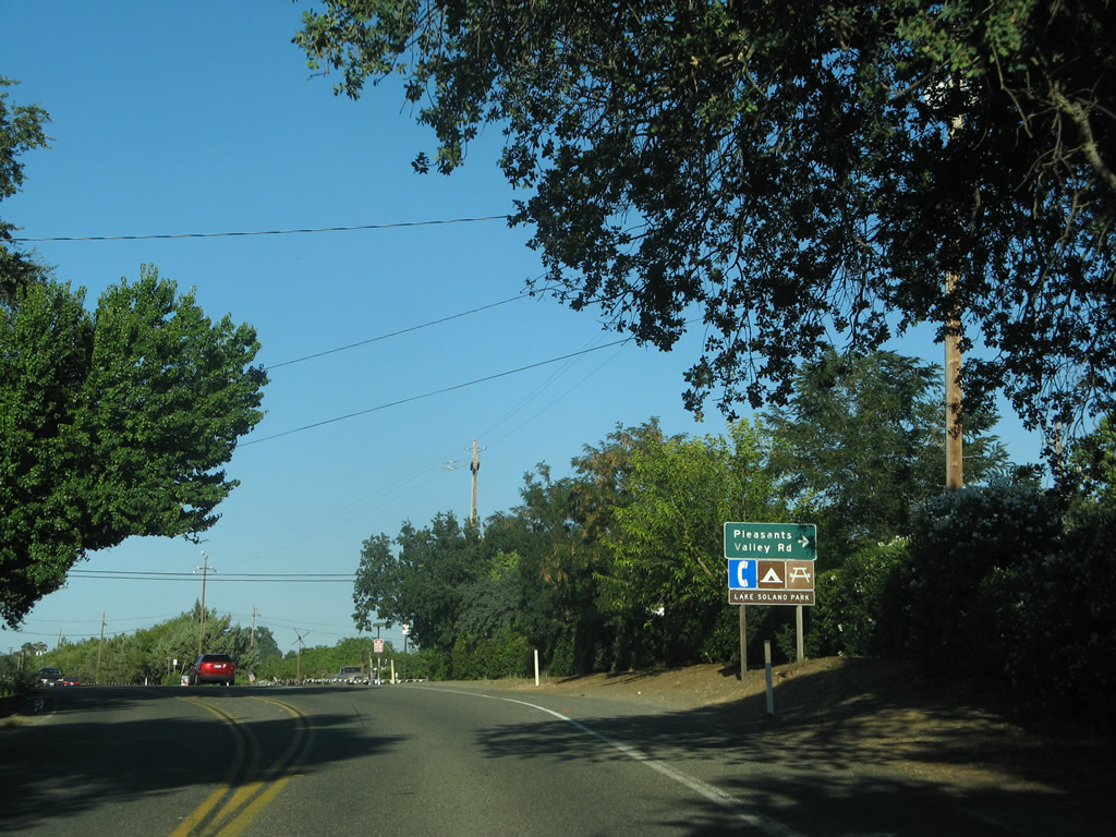
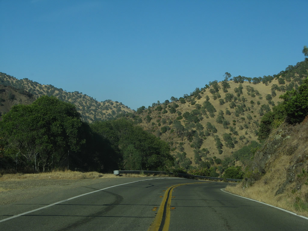
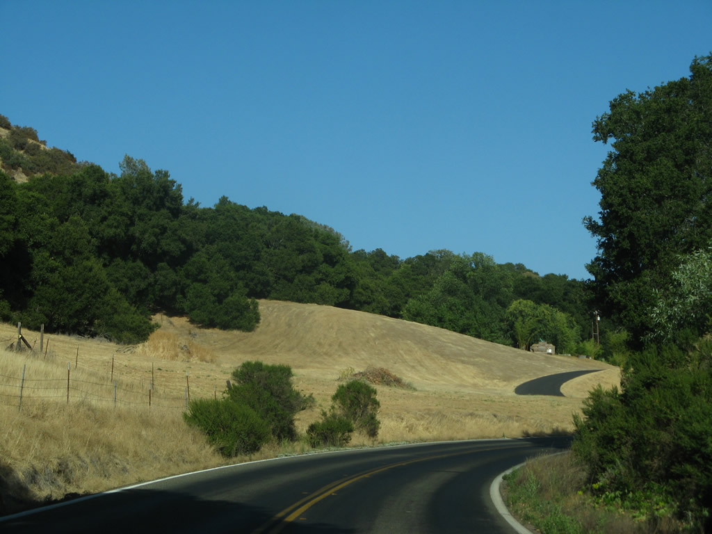
The state route emerges from the rugged terrain of the Vaca Mountains at Pleasants Valley Road. Pleasants Valley Road runs south through Pleasants, Vaca and Lagoon Valleys to Interstate 80 at Exit 51 A.
07/07/07
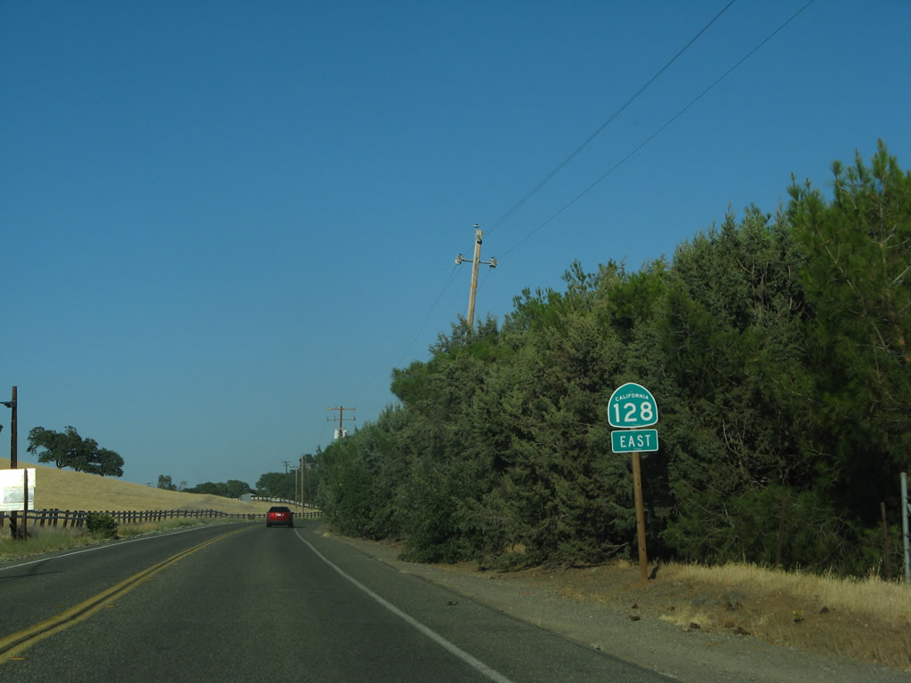
Reassurance marker posted east of Pleasants Valley Road.
07/07/07
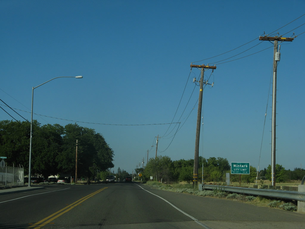
SR 128 enters the city of Winters along Grant Avenue. Sitting at an elevation of 131 feet, Winters was incorporated on February 9, 1898, had a population of 7,115 as of 2020 Census and an area of 2.96 square miles.
07/07/07
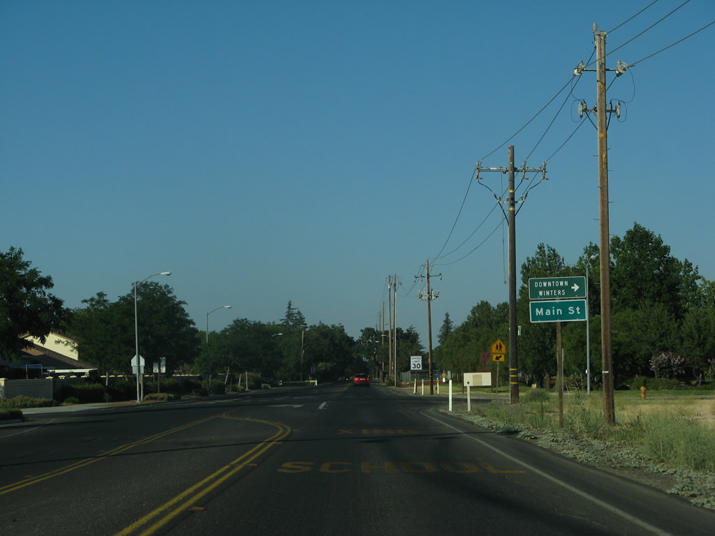
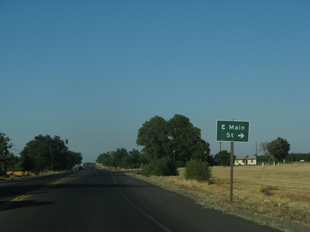
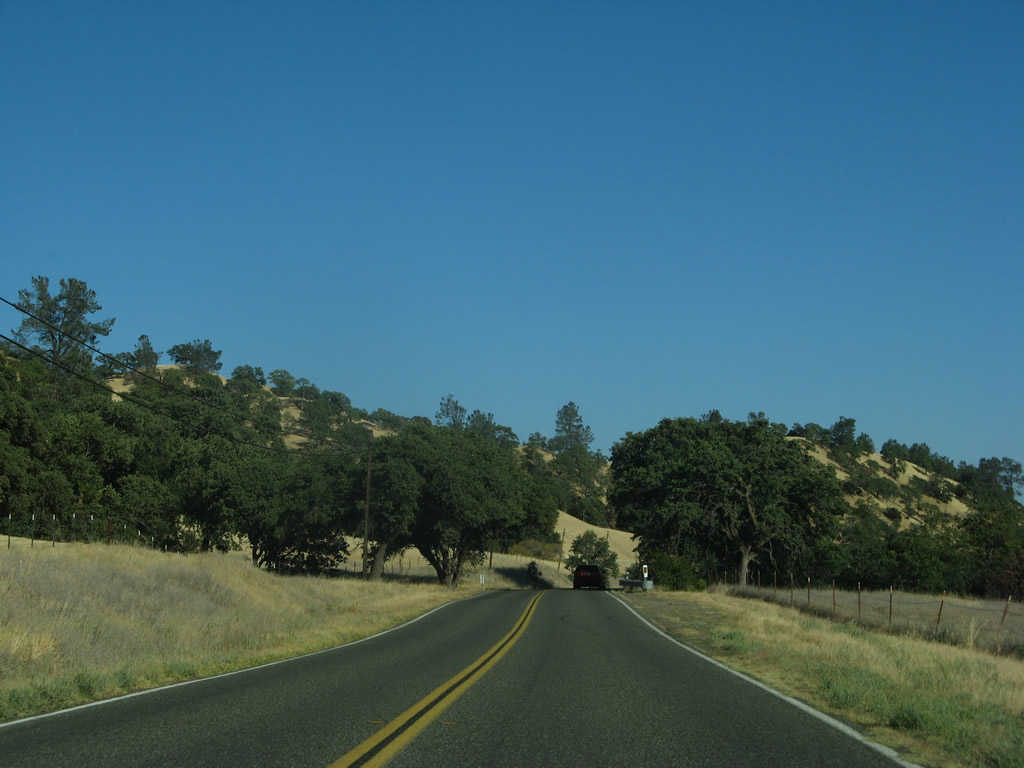
Main Street arcs southeast along the old route of SR 128 to historic Downtown Winters.
07/07/07
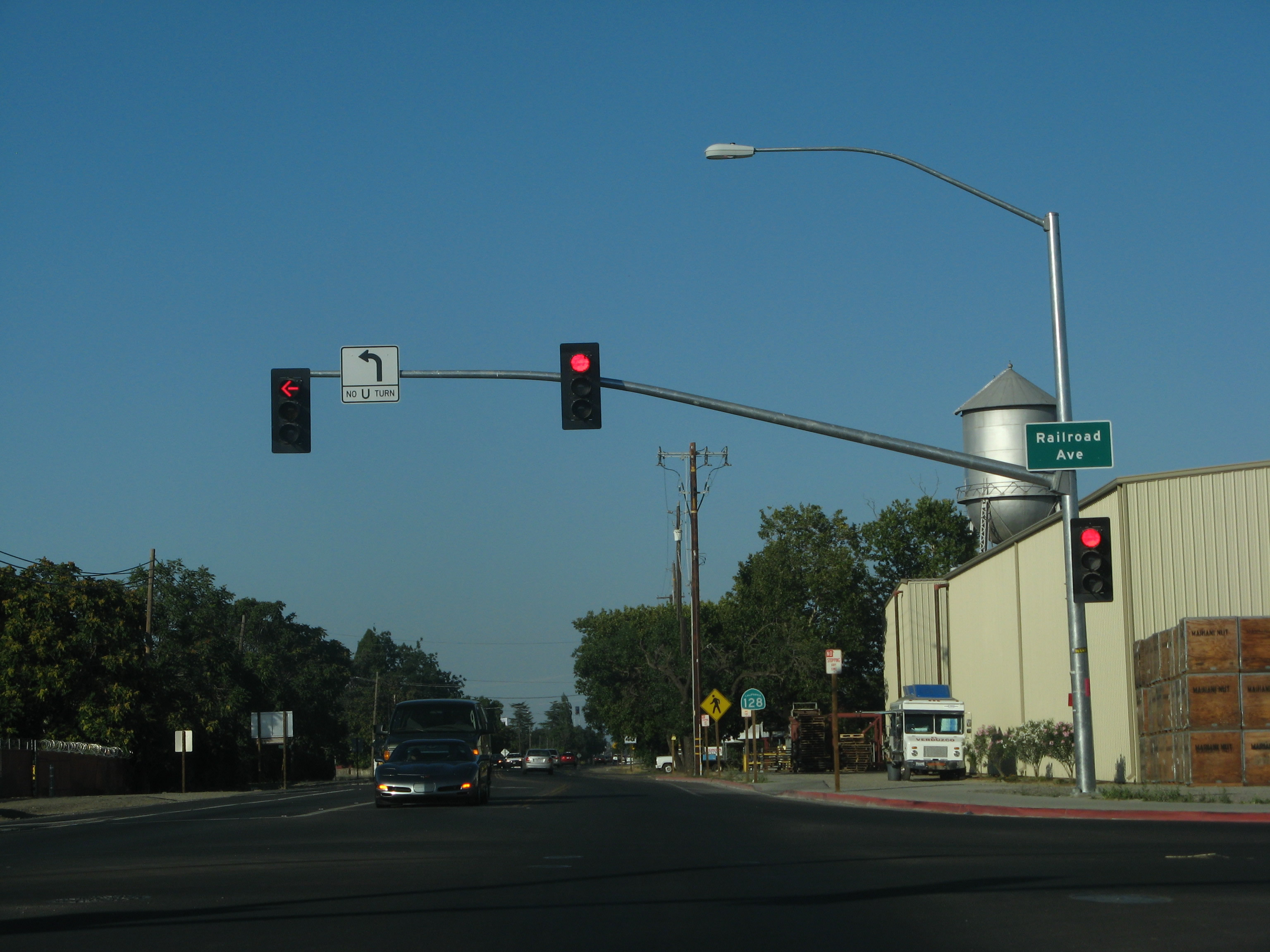
Grant Avenue east at Railroad Avenue (Road 89) in Winters. Prior to the completion of Interstate 505, Railroad Avenue served as the temporary I-505 route. However, it was not designated as a signed state route prior to the temporary designation.
07/07/07
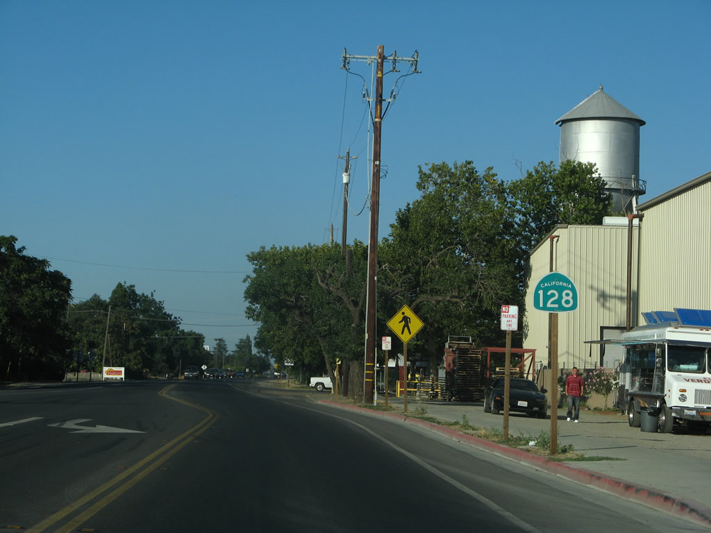
This reassurance shield for California 128 east is posted along Grant Avenue east of Railroad Avenue.
07/07/07
Main Street (old California 128) returns to California 128 in east Winters.
07/07/07
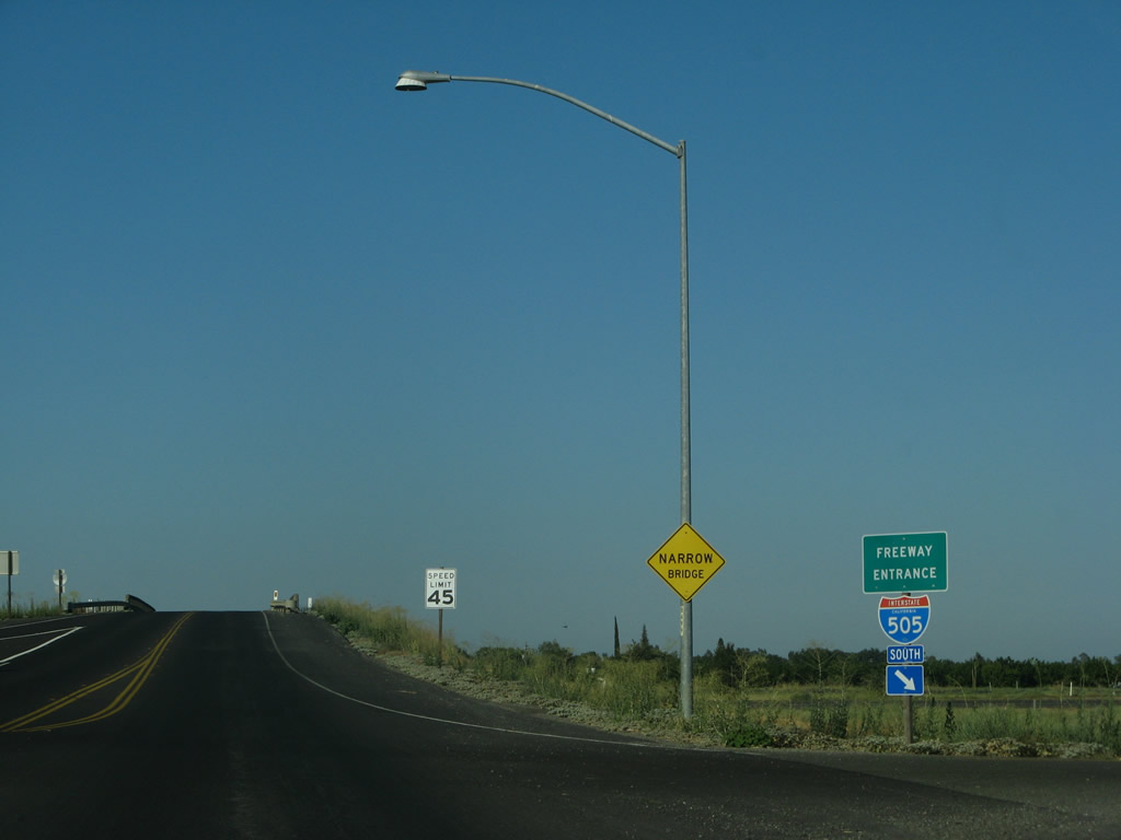
The previously rural stretch of SR 128 leading to I-505. Commercial development ensued at what was 90 Road starting in 2012. Renamed Matsumoto Lane, traffic lights were installed by 2016 for the freeway frontage road. The Gas Safety Academy was built along the south side of SR 128 here in 2016/17. An additional signal was installed for PG & E Way by 2019.
07/07/07
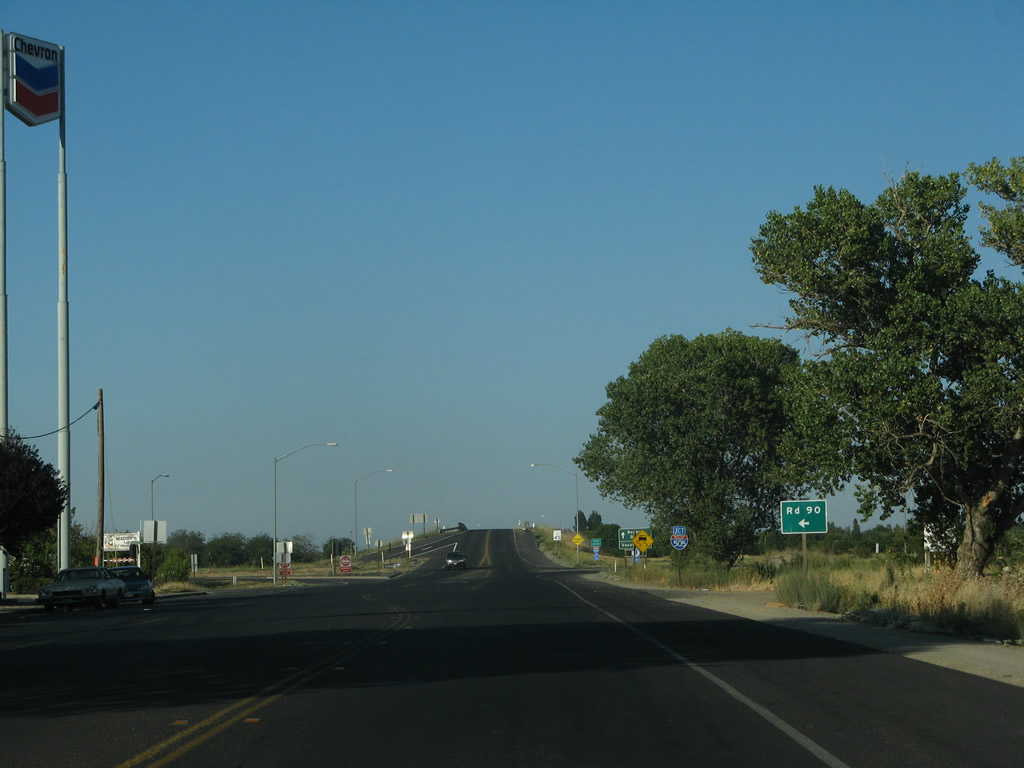
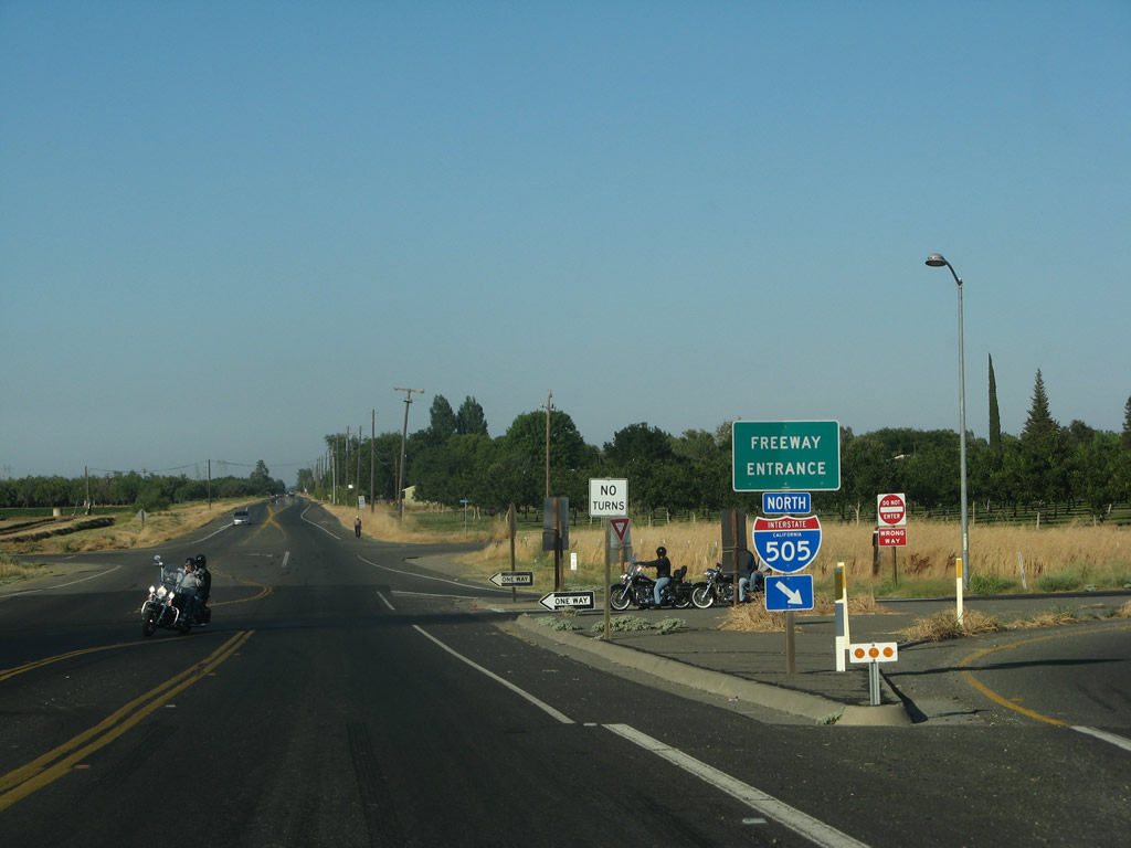
SR 128 (Grant Avenue) meets Interstate 505 at a six-ramp parclo interchange (Exit 11).
07/07/07
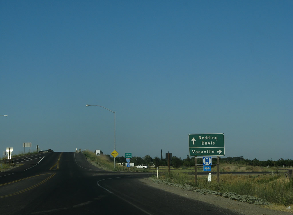
Interstate 505 travels south to Vacaville, where it connects with I-80 to all points in the San Francisco Bay Area.
07/07/07
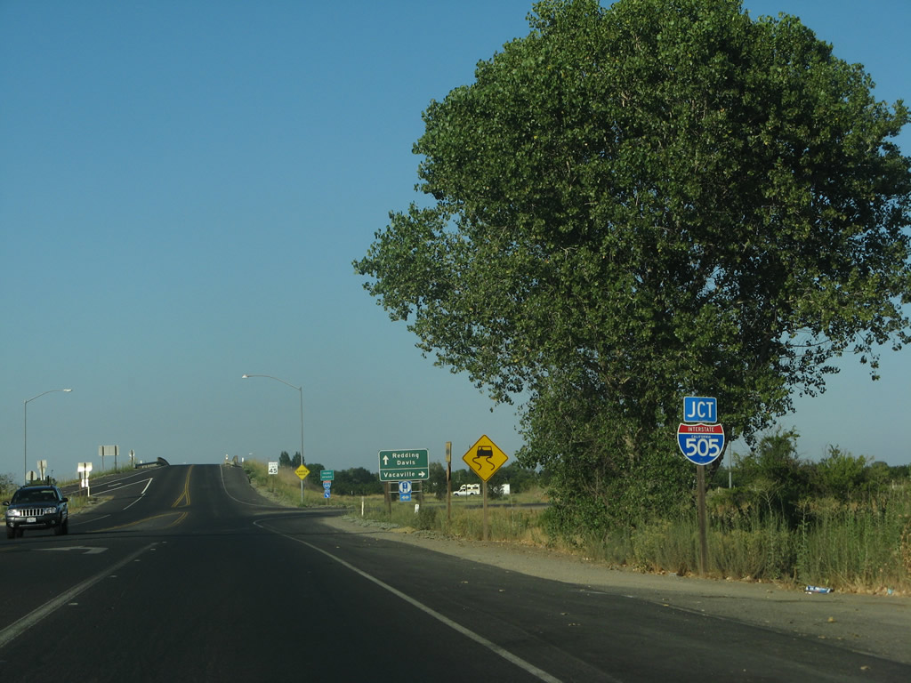
Originally a parclo A2 interchange joined I-505 with SR 128. The entrance ramp from SR 128 east to the freeway south was one of two added.
07/07/07
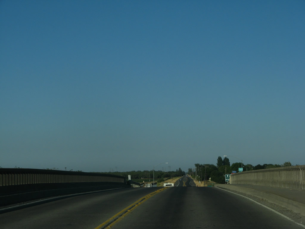
A vintage bridge takes SR 128 (Russell Boulevard) over Interstate 505.
07/07/07
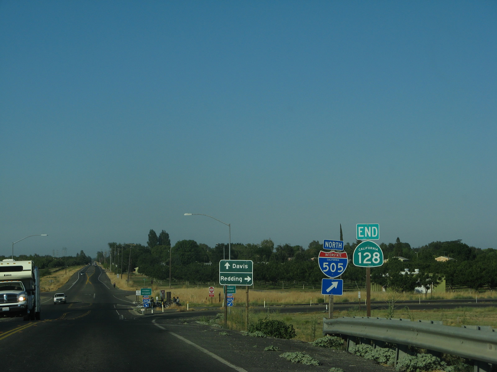
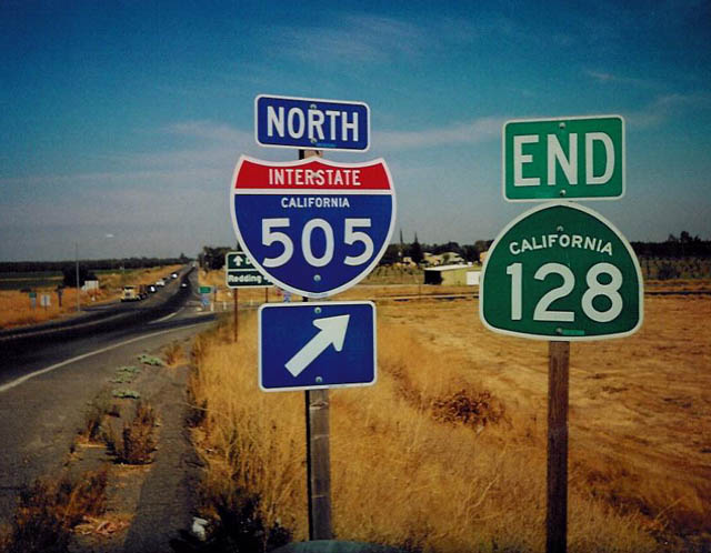
An end shield for SR 128 stands at the loop ramp for Interstate 505 northbound.
07/07/07
2002
Interstate 505 extends north from Winters to I-5 near Dunnigan. I-5 continues from there to Williams, Willows, Orland, Corning, Red Bluff and Redding.
07/07/07
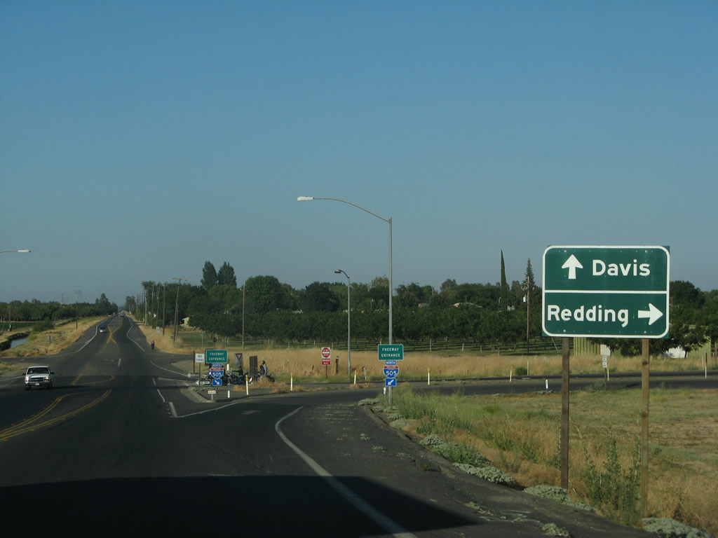
Yolo County Route E-6 commences east toward Davis along Russell Boulevard from I-505/SR 128.
07/07/07
Photo Credits:
- Andy Field: 07/07/07
- Trevor Carrier: 2002
Connect with:
Page Updated Tuesday September 03, 2013.