
State Route 131
California 131 is Tiburon Boulevard, which connects U.S. 101 with the city of Tiburon. This state highway is mostly two lanes as it follows along the southern shoreline of the Tiburon Peninsula. After entering the city of Tiburon, the highway loops back to the west as a locally maintained road.
Incorporated in 1964, the town of Tiburon was created after several prior attempts had failed. During that same year, Angel Island State Park was created, and pressures facing the newly incorporated town included possible construction of a bridge from Tiburon to San Francisco, which would have brought much more traffic to the small community. As of 2000 Census, 8,666 people lived in Tiburon. To the south, Belvedere is a much older city, having been incorporated in 1896 and located on the small peninsula south of Tiburon. As of the 2000 Census, 2,125 people call Belvedere home.
Had it been built, the southeastern end of California 131 would have connected to a proposed yet never constructed bridge that would have linked Tiburon with San Francisco, possibly via Angel Island. This proposal is now dead.
During the planning period for bridges over San Francisco Bay, several were planned but were never constructed. The most well-known of these was the Southern Crossing between Candlestick Point and Alameda, which actually appeared on some road maps in the late 1960s and early 1970s. Another of these that is less well-known was the Tiburon-Angel Island-San Francisco Bridge, which would have begun at Tiburon and traveled southeast to Angel Island, then turn south toward San Francisco. The bridge, which would have incorporated a suspension component between Angel Island and San Francisco, was not constructed, although a feasibility study was prepared.²
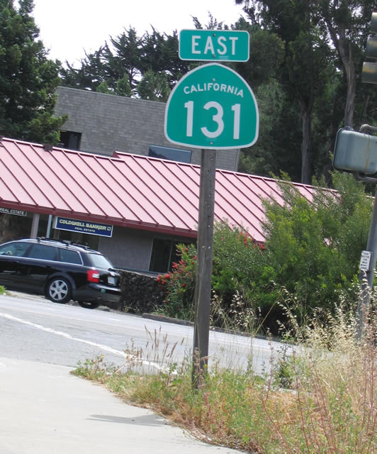
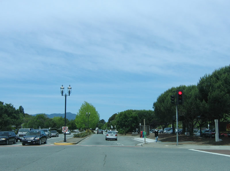
Upon departing U.S. 101 (Redwood Highway) at Exit 447B, the first shield along California 131 east is posted after the ramp from northbound U.S. 101 to Tiburon Boulevard. Although Tiburon Boulevard crosses over U.S. 101, it becomes a locally maintained street west of U.S. 101. To the east, it is a state route.
05/25/06
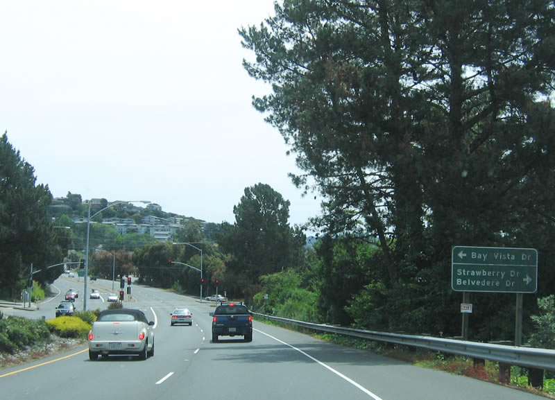
Initially, California 131 is a four-lane, divided highway. Plans had called for expansion of Tiburon Boulevard to four lanes for much of its length, but that plan was never enacted. The first traffic signal along eastbound California 131 (Tiburon Boulevard) is for Bay Vista Drive and Strawberry Drive/Belvedere Drive.
05/25/06
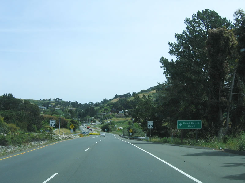
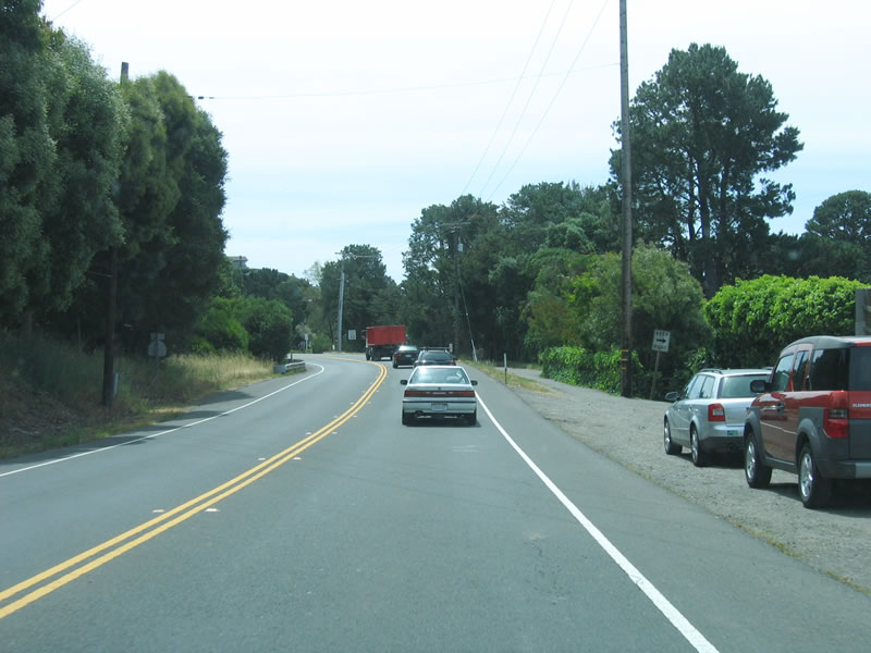
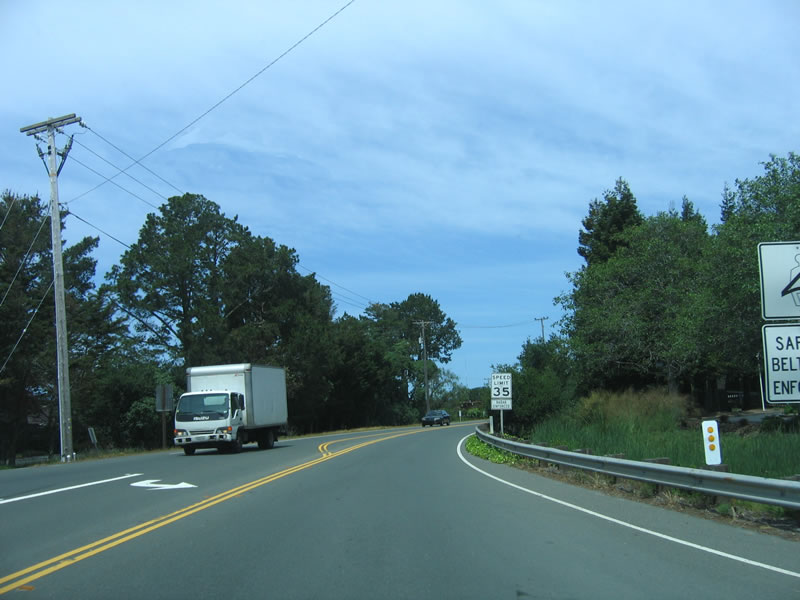
Now approaching Reed Ranch Road (no traffic signal), the speed limit decreases and the brief expressway segment comes to an end as the right lane ends. An old alignment of Tiburon Boulevard can be explored here; it is located closer to the bayshore and is now known as Greenwood Beach Road; it was bypassed with the expressway opening in 1966.
05/25/06
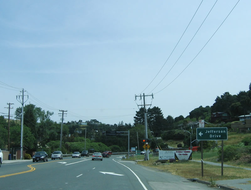
As the right lane ends, eastbound California 131 (Tiburon Boulevard) approaches Jefferson Drive. Another traffic signal is ahead.
05/25/06
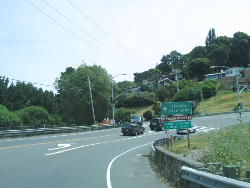
Eastbound California 131 (Tiburon Boulevard) meets Trestle Glen Boulevard at this signalized intersection. Original plans called for California 131 to have an interchange with Trestle Glen Boulevard and a continuation of the four-lane expressway through this area (known as Blackie's Pasture). This interchange and expressway extension proposal was canceled in 1980. Trestle Glen Boulevard cuts across the Tiburon Peninsula, connecting with Paradise Drive (which follows the north shore of the peninsula). Paradise Beach Park, which is signed, is on the north shore of the peninsula.
05/25/06
Hugging the edge of the rugged bayshore, California 131 (Tiburon Boulevard) offers stunning views of Richardson Bay, which is a branch of San Francisco Bay. As California 131 winds eastward, including several landmarks such as bridges, mountains, and islands will come into view. Sausalito can be seen to the south from California 131.
05/25/06
The section of Tiburon Boulevard between San Rafael Avenue and downtown Tiburon was opened to traffic in 1930; prior to that, motorists had to detour through Belvedere to enter downtown Tiburon.¹ Plans called for Tiburon Boulevard to become a four-lane freeway with room for expansion if a bridge to San Francisco were built; a master plan from 1956 specified the freeway. However, local opposition, which led to the creation of an incorporated town, helped prevent the Tiburon Peninsula from becoming a springboard for commuters to San Francisco.
05/25/06
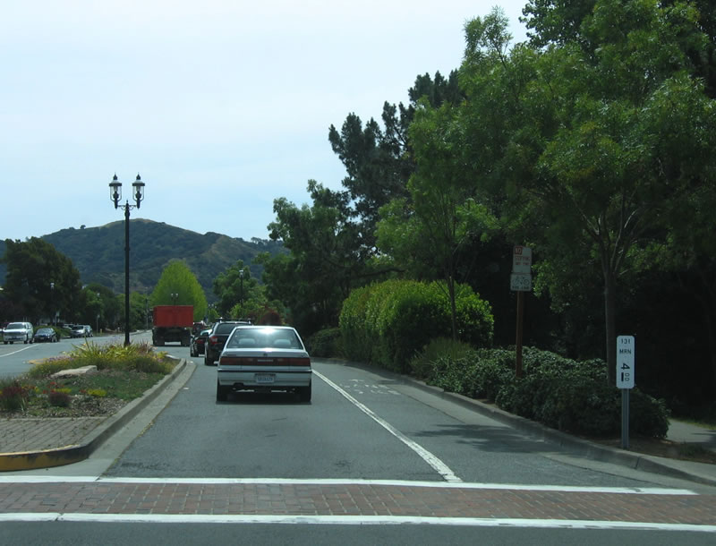
Continuing east, California 131 (Tiburon Boulevard) enters the downtown area of Tiburon. The postmile implies that the state highway might end here, or it might be a "reassurance" postmile. Either way, this is the last postmile along eastbound California 131, so it is more likely that the state route ends here.
05/25/06
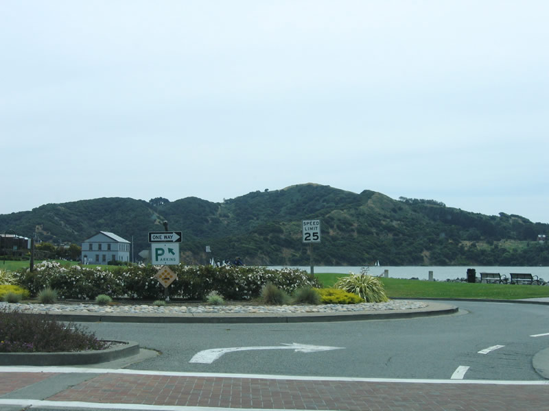
Tiburon Boulevard ends at this traffic circle across from Paradise Drive. Angel Island, one of the larger islands in San Francisco Bay, dominates the view.
05/25/06
Motorists may continue straight ahead on Paradise Drive to north side of Tiburon Peninsula. The ferry landing, which provides passenger commuter service to San Francisco, launches from the nearby ferry building.
05/25/06
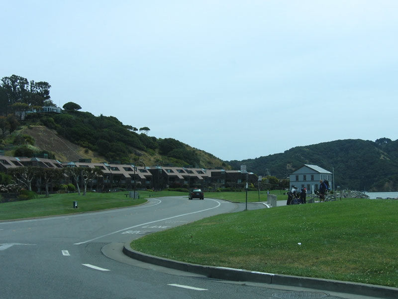
Heading west along Tiburon Boulevard from the traffic circle east of Downtown Tiburon. There are no SR 131 shields posted west until beyond Downtown.
05/25/06
This traffic signal at Beach Road is not a typical Caltrans standard and does not meet current standards, which again implies local control of this stretch of Tiburon Boulevard.
05/25/06
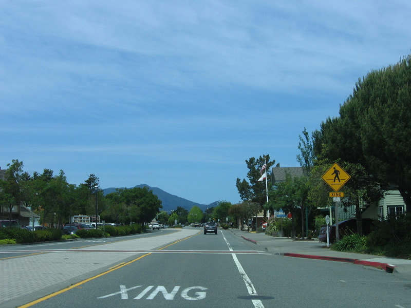
Leaving downtown Tiburon (which is Spanish forshark) and after the signalized intersection with Mar W Street and Lagoon Road/Cove Road, Tiburon Boulevard assumes a more typical state highway feel, with two lanes and standard state signage. The first reassurance shield is just ahead.
05/25/06
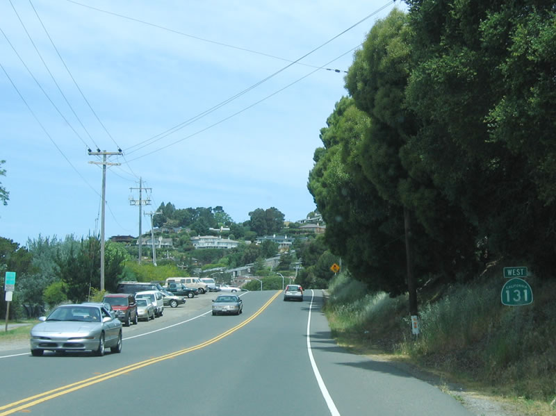
The first westbound reassurance shield for California 131 is posted prior to Lyford Drive and after Mar W Street.
05/25/06
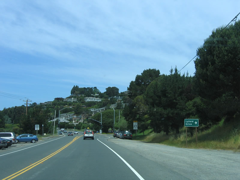
The next traffic signal is for Lyford Drive, only a short distance west of the Mar W Street intersection.
05/25/06
Prior to the construction of a vehicular highway to Tiburon (California 131), land access was provided by the North Pacific Railroad, which was built in 1884 and connected Tiburon with San Rafael. Ferry piers on Tiburon Peninsula were built as part of the original railroad construction; Colonel Peter Donahue led the effort to extend the railroad to Tiburon. Rail service lasted until 1967.¹ The railroad right of way is now a multi-use path along the bayshore, generally parallel to California 131.
05/25/06
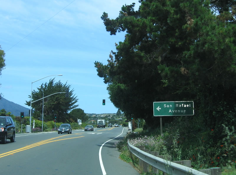
San Rafael Avenue is the original alignment of Tiburon Boulevard (until 1930) between downtown Tiburon and this point.
05/25/06
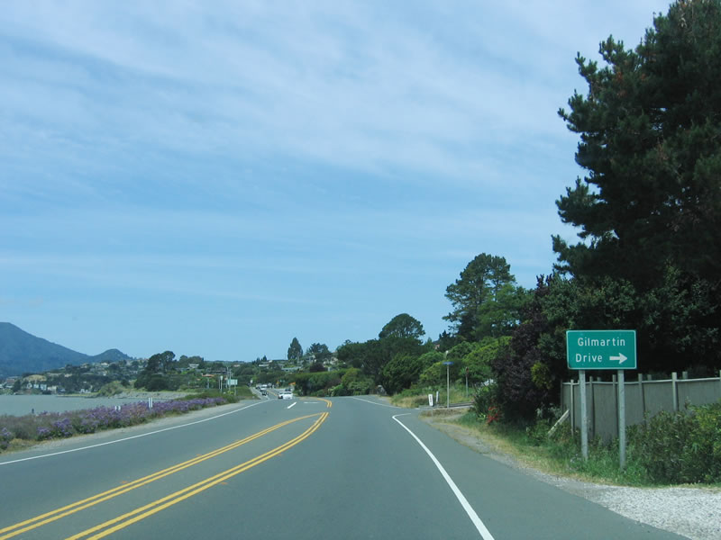
Again hugging Richardson Bay, westbound California 131 (Tiburon Boulevard) approaches Gilmartin Drive. The land fill to the southwest of California 131, which today serves as a greenbelt, was filled by Caltrans back when the extended four-lane highway was planned for the California 131 route. Once plans for the expressway/freeway were tabled in 1980, the fill became part of a greenbelt park, known as McKegney Green and the greenbelt adjacent to Knoll Park.¹
05/25/06
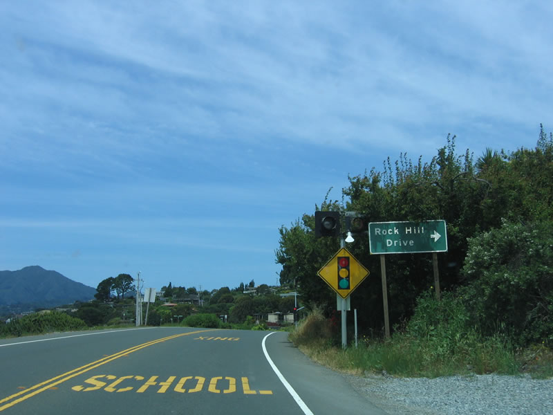
The next traffic signal along westbound California 131 (Tiburon Boulevard) is Rock Hill Drive.
05/25/06
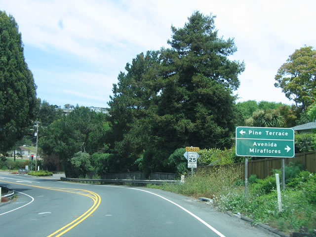
Following that, the next traffic signal is for Avenida Miraflores north and Pine Terrace south (no outlet southbound).
05/25/06
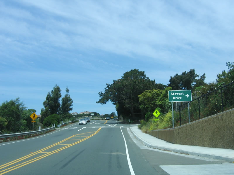
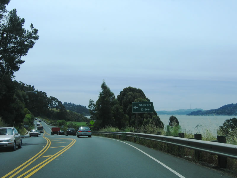
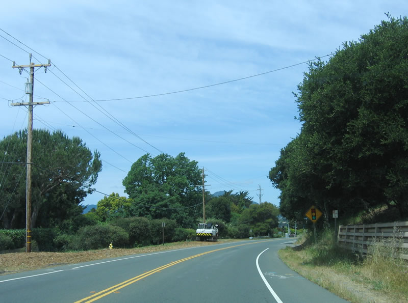
Westbound California 131 (Tiburon Boulevard) approaches Stewart Drive (right turn, no traffic signal). Most of these side streets serve residential areas. Blackie's Pasture, through which California 131 passes, was home to a horse named Blackie who lived in the pasture for 40 years and was a fixture to passing travelers.¹
05/25/06
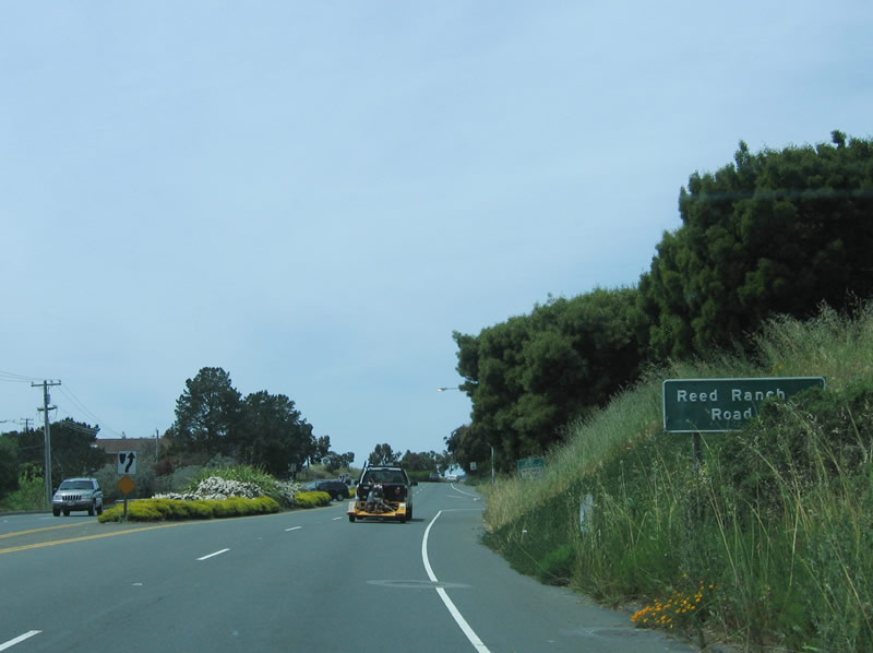
After passing by Trestle Glen Road, California 131 west expands to a four-lane expressway configuration. The next right turn is for Reed Ranch Road.
05/25/06
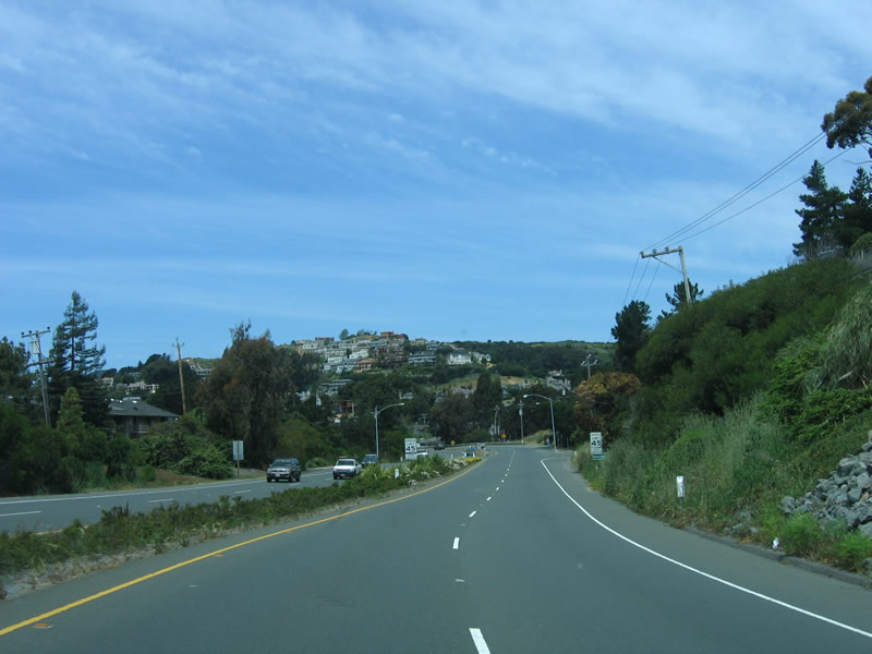
Had California 131 been built out to expressway or even freeway standards as recommended in the 1956 Master Plan, much of the route would look more like this instead of how it looks before widening out to four lanes. With the master plan revised in 1966, the freeway/expressway component was removed from the plan, and the bridge to San Francisco became less and less likely.
05/25/06
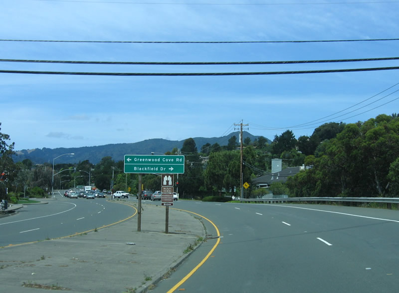
Westbound California 131 (Tiburon Boulevard) approaches Greenwood Cove Drive (which connects to Old California 131, which is Greenwood Beach Drive, bypassed in 1966) and Blackfield Drive.
05/25/06
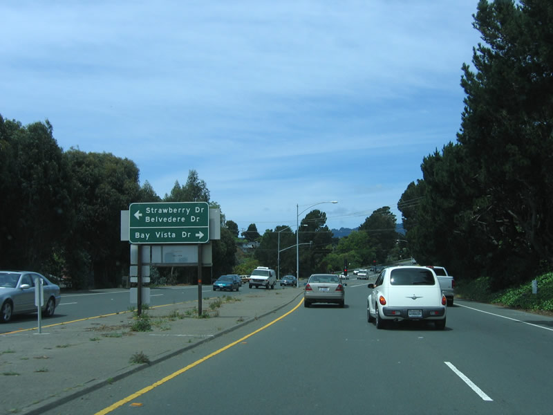
The next intersection along the expressway segment of California 131 is for Strawberry Drive/Belvedere Drive and Bay Vista Drive north.
05/25/06
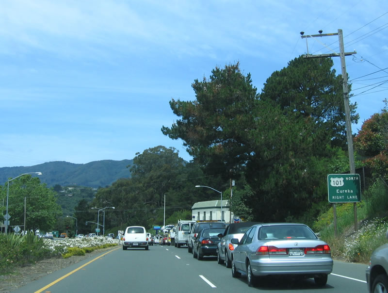
California 131 approaches its end at U.S. 101 (Redwood Highway). The first ramp connects to northbound U.S. 101 to Santa Rosa, Ukiah, and Eureka. The second ramp, a loop ramp exiting right, connects to U.S. 101 south to Sausalito and San Francisco.
05/25/06
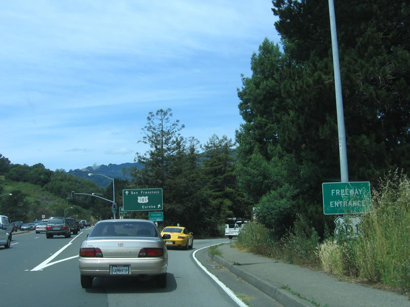
A freeway entrance shield assembly is partially obscured by grass as westbound California 131 comes to an end. Straight ahead, Tiburon Boulevard becomes Blithedale Avenue, which serves the city of Mill Valley.
05/25/06
References:
- Tiburon Historical Timeline by Brad Fanning, Town Historian - several projects related to California 131 and its predecessor railroad were identified in the Tiburon Town History. http://www.ci.tiburon.ca.us/Commissions/Heritage_&_Arts/new%20site/timeline.htm
- Feasibility Study of the San Francisco Bay Crossing from Tiburon to San Francisco via Angel Island.
Photo Credits:
- Andy Field: 05/25/06
Connect with:
Page Updated Sunday February 04, 2007.