
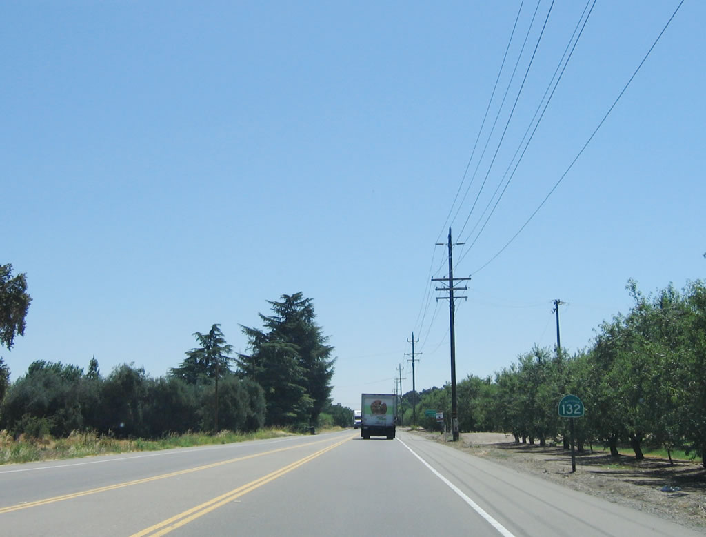
State Route 132
California 132 begins at Exit 72 A along Interstate 580, just west of Vernalis. The highway heads east into Modesto. Much of this route is either freeway, expressway, or high-speed two-lane highway. After providing the primary east-west routing through the city of Modesto, California 132 follows the Tuolumne River into the foothills. Passing Stanislaus County Route J-59 at La Grange, California 132 skirts the south end of Lake Don Pedro, then ends at California 49 in Coulterville. The highway continues as Mariposa County Route J-20 (sometimes shown as Mariposa County Route J-132 on maps), with the county route turning north to meet California 120 at Buck Meadows just west of the entrance into Yosemite National Park.
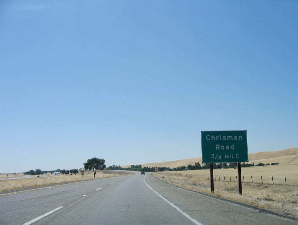
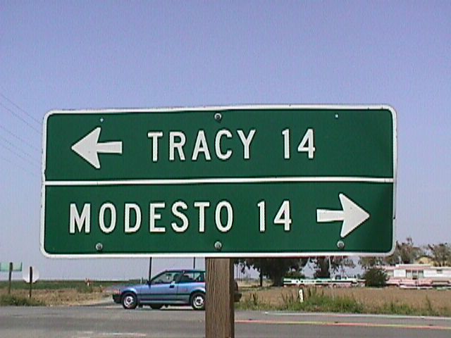
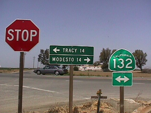
California 132 commences east along the transition ramp from eastbound Interstate 580 (William Elton Brown Freeway) to Exit 7 A. The first exit on eastbound California 132 is with Chrisman Road north to Tracy.
07/05/06
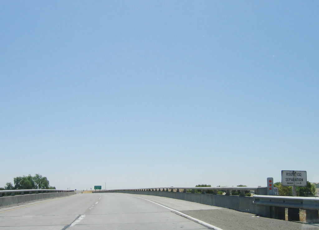
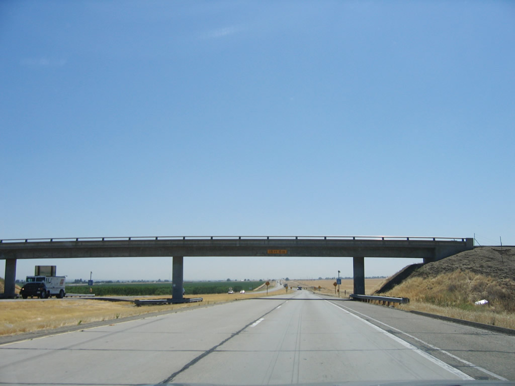
A "Route 132 Separation" bridge identification sign is posted on eastbound California 132 as it crosses over Interstate 580 (William Elton Brown Freeway).
07/05/06
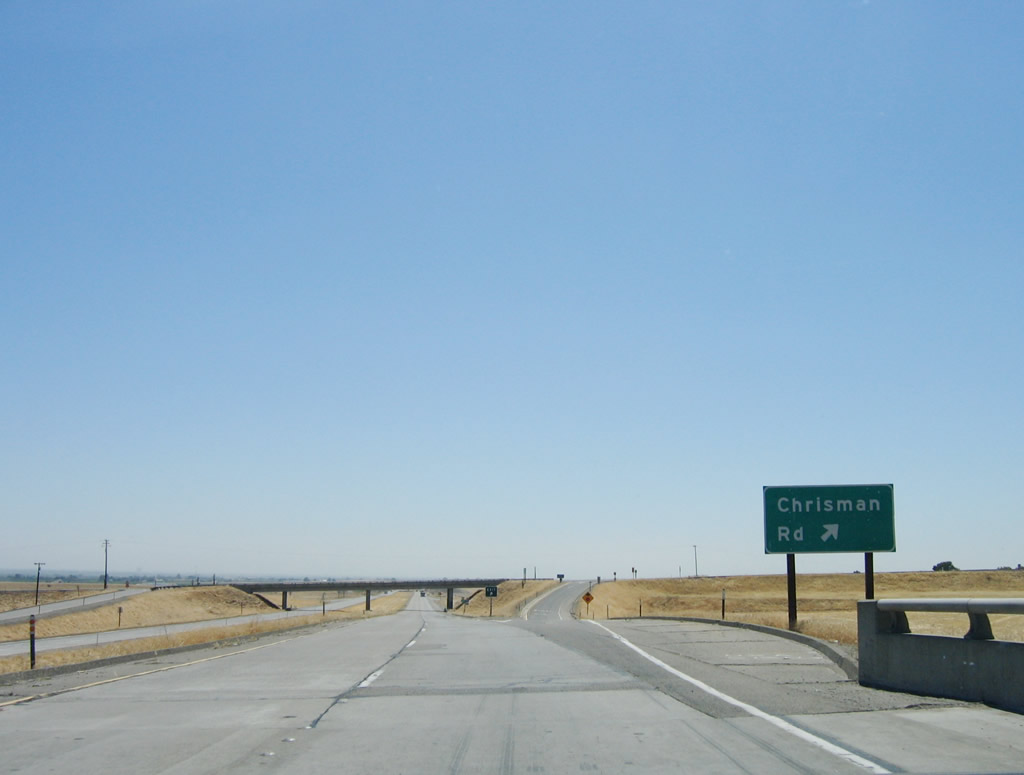
Eastbound California 132 meets Exit 1, Chrisman Road north to Tracy. Gas and some food is also available at this interchange.
07/05/06
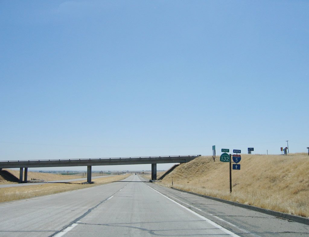
The first California 132 reassurance shield is posted just prior to the Chrisman Road overpass. Between Interstate 580 and Interstate 5, the only connection from eastbound 580 to northbound 5 is via 132 east.
07/05/06
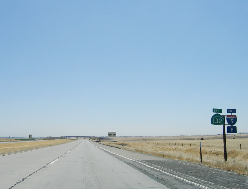
Another California 132 reassurance shield and Interstate 5 north trailblazer is posted after Exit 1, Chrisman Road. Ahead, the freeway will cross over the California Aqueduct.
07/05/06
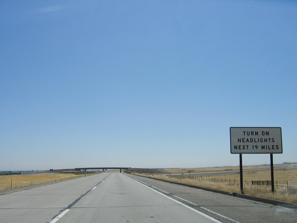
Due to changes in the condition of the highway, California 132 is a designated for headlights on at all times between Chrisman Road and the Modesto city limits (a distance of 19 miles).
07/05/06
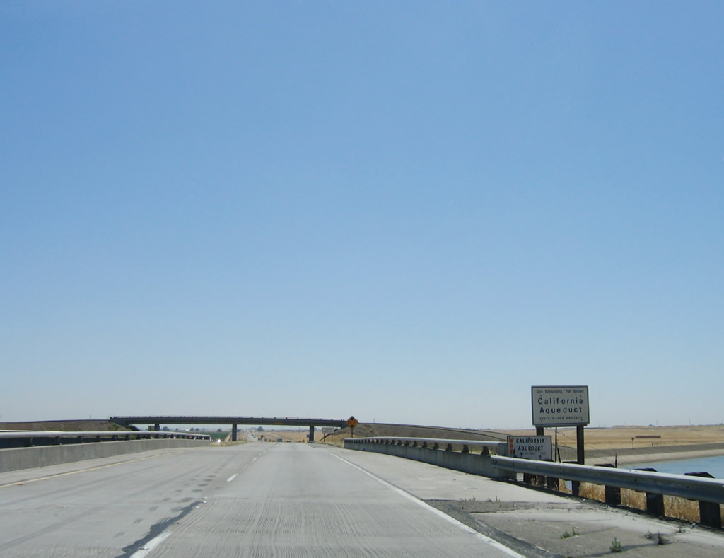
California 132 passes over the California Aqueduct, which carries water from the California Delta Region to Southern California. The aqueduct is named in honor of California Governor Edmund "Pat" G. Brown.
07/05/06
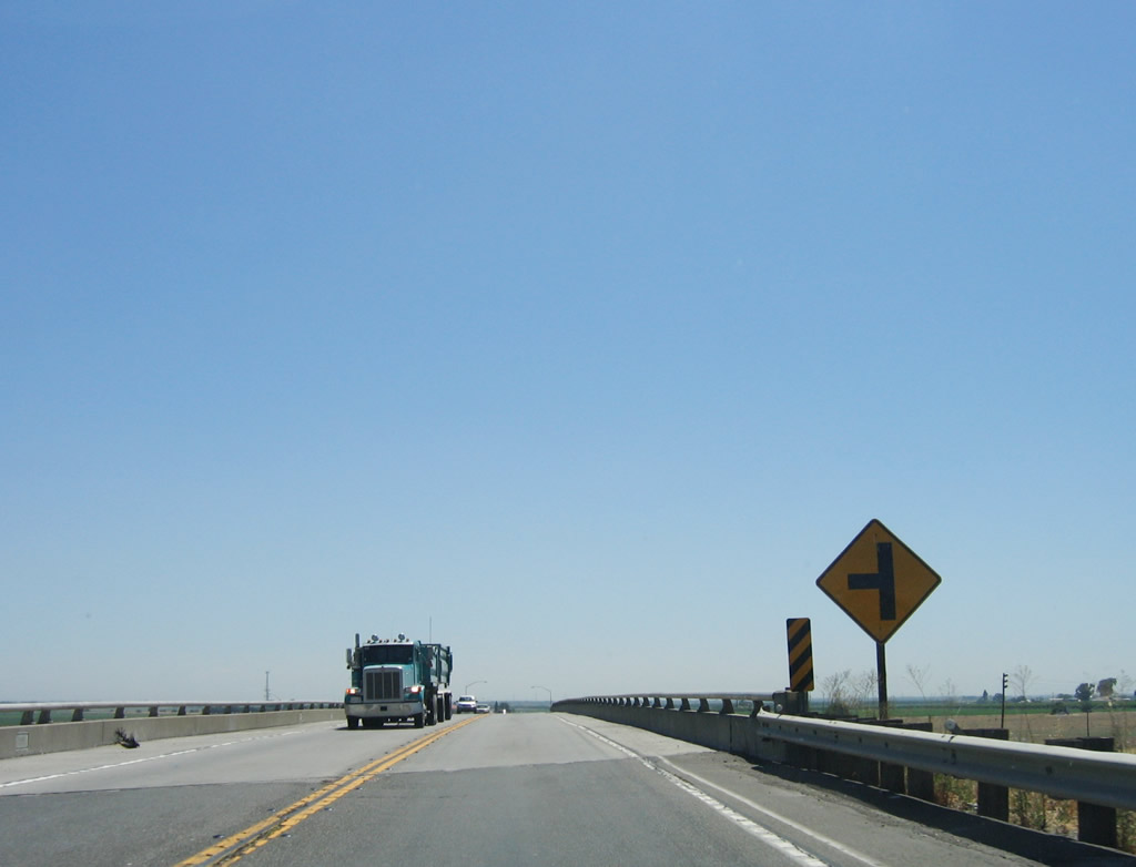
A service road for the canal crosses over the California 132 freeway. However, in the distance signs advise that the freeway section will briefly end and shift to a two-lane alignment.
07/05/06
The four-lane freeway ends, with the eastbound concrete lanes abruptly ending and the westbound lanes serve both directions. It's clear that Caltrans intended to extend the eastbound lanes, but that has not happened due to budgetary and other constraints. Leaders in Modesto would someday like to see California 132 widened to four lanes from Interstate 580 east to Modesto, but construction has not yet begun.
07/05/06
The two-lane section of California 132 only extends for a brief time; it will widen out again to four lanes once it reaches Bird Road, which is the only intersection on California 132 between Exit 1, Chrisman Road and Exits 4A-B, Interstate 5.
07/05/06
Resuming a four-lane, divided highway configuration, eastbound California 132 merges back onto its own lanes. A stub set of lanes can be seen in this photo for the eventual connection with the other four-lane section west of here.
07/05/06
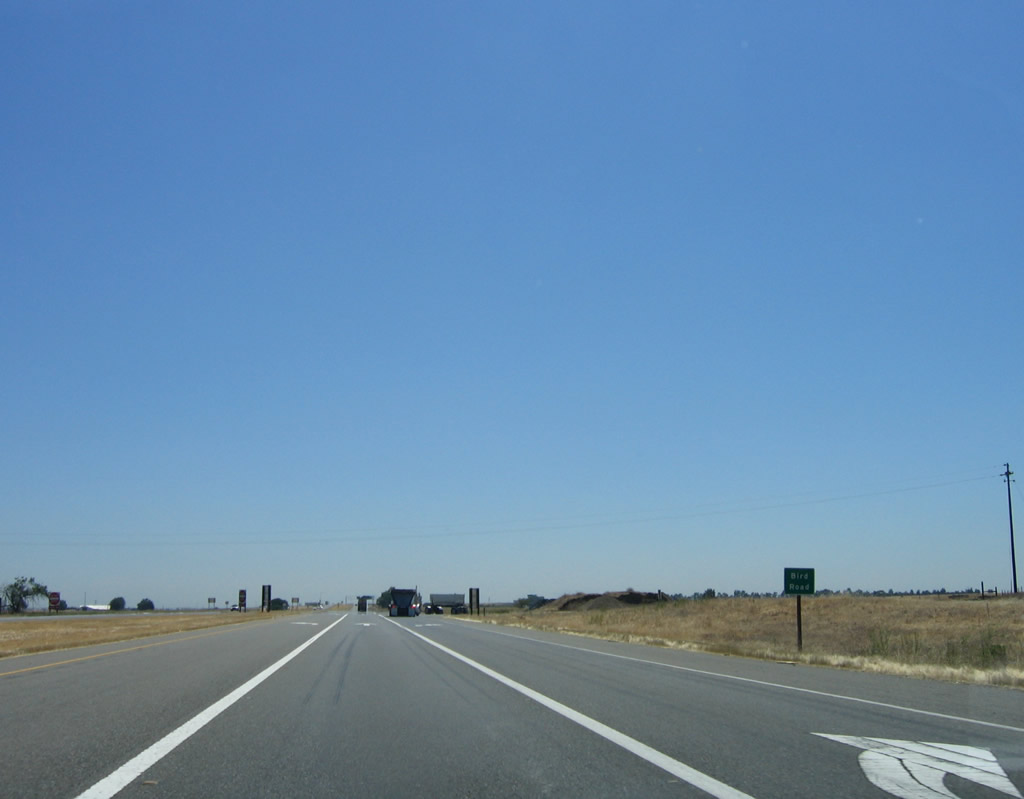
The only intersection between Chrisman Road and Interstate 5 is this junction with Bird Road. Note that the left turn is dedicated for those turning north onto Bird Road to Tracy, while the right lane turns south on Bird Road. The middle lane continues east along California 132.
07/05/06
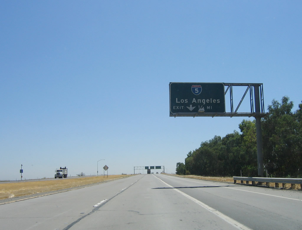
The freeway resumes immediately after leaving the Bird Road intersection. The next exit is Exit 4A, Interstate 5 south to Los Angeles. The right lane becomes exit only for this connection.
07/05/06
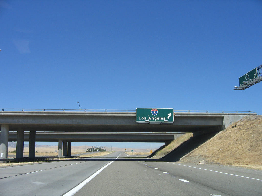
Eastbound California 132 reaches Exit 4A, Interstate 5 south to Los Angeles. The right lane becomes exit only for Exit 4B, Interstate 5 north to Stockton and Sacramento. These Interstate 5 shields look odd because they don't have a white outline, unlike most other signs in the state.
07/05/06
The Interstate 5 cloverleaf interchange comes into view along eastbound California 132. The next ramp is a loop ramp that connects to Interstate 5 north.
07/05/06
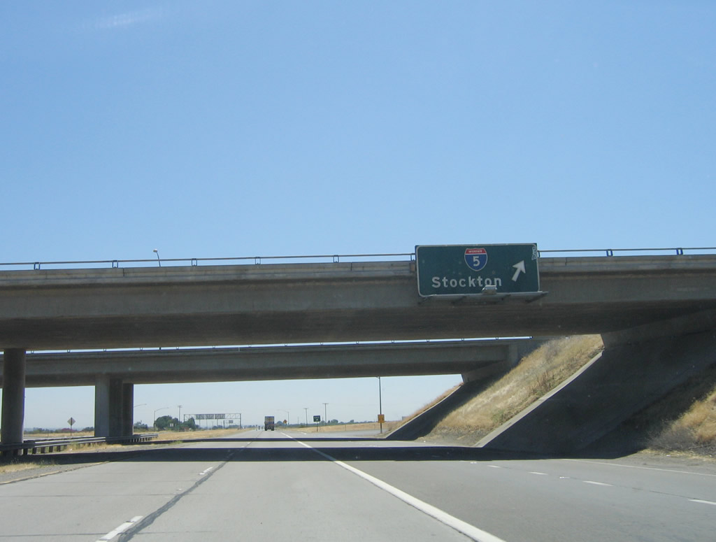
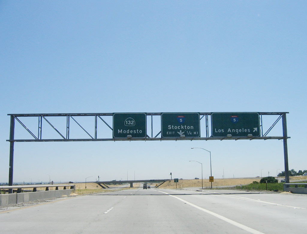
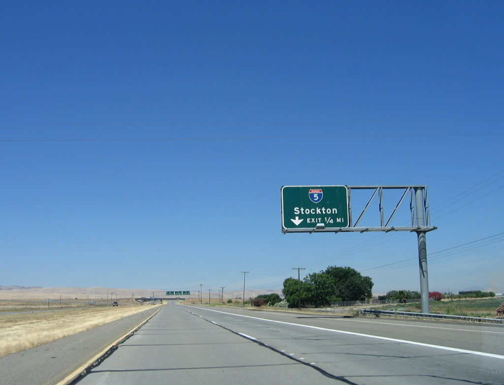
Eastbound California 132 reaches Exit 4B, Interstate 5 north to Stockton and Sacramento.
07/05/06
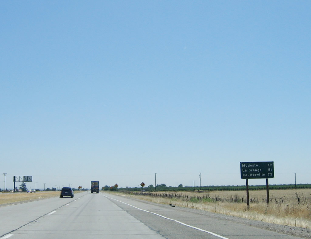
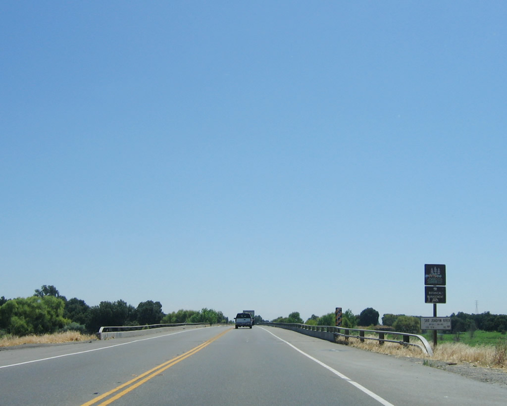
This mileage sign along eastbound California 132 provides the distance to Modesto/California 99 (19 miles), La Grange/Stanislaus County Route J-59 (51 miles), and Coulterville/California 49 (75 miles).
07/05/06
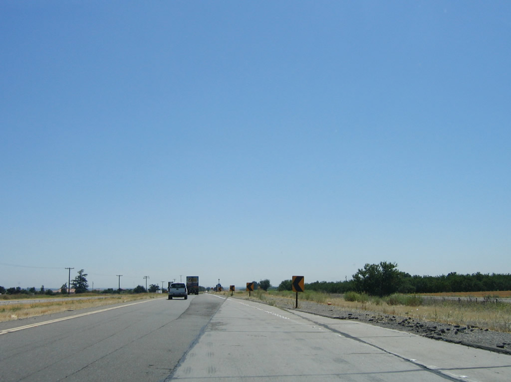
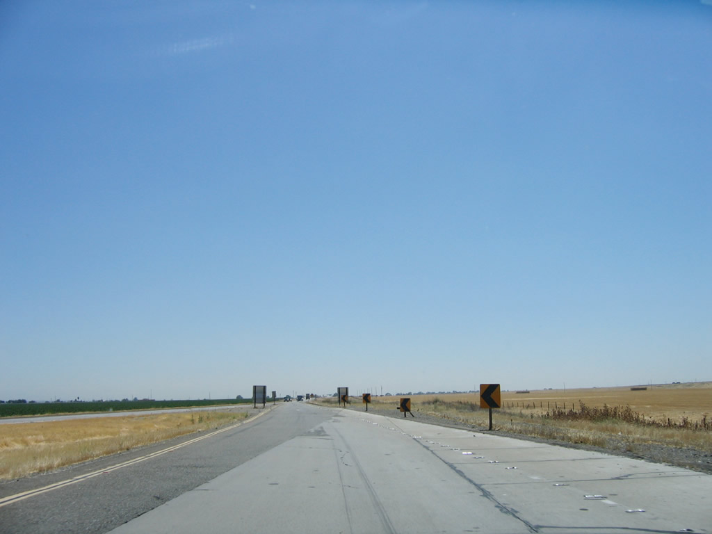
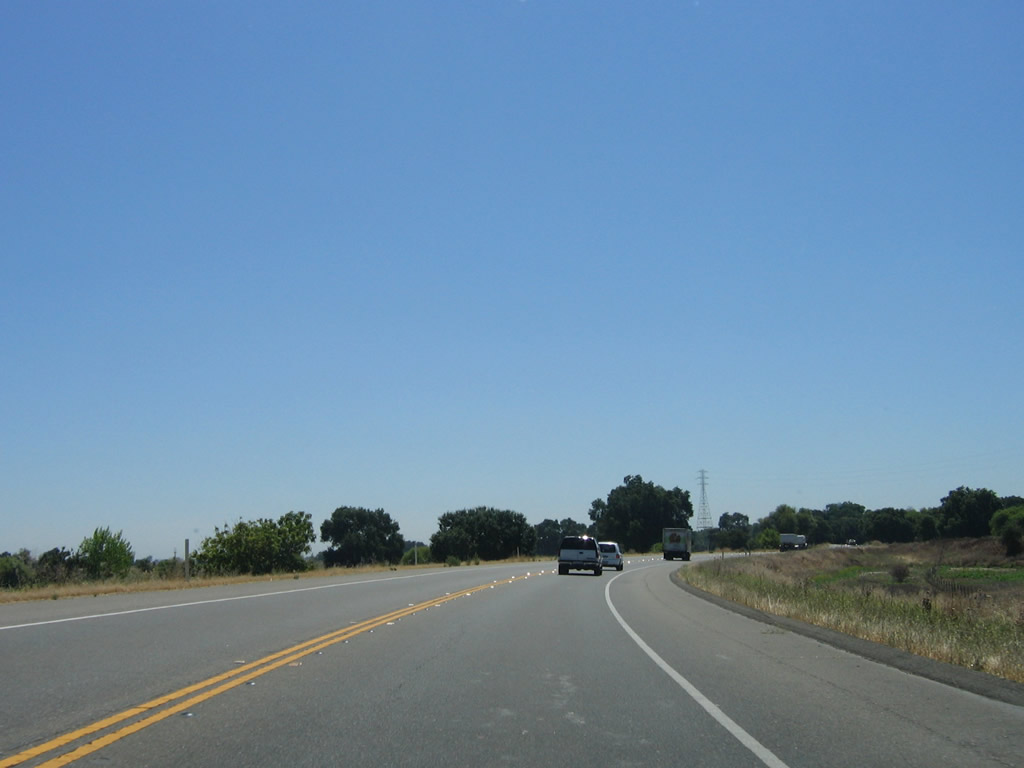
Shortly thereafter, California 132 again reduces to two lanes. This state highway carries a great deal of traffic east into Modesto, but funding has not been available to widen it to four lanes.
07/05/06
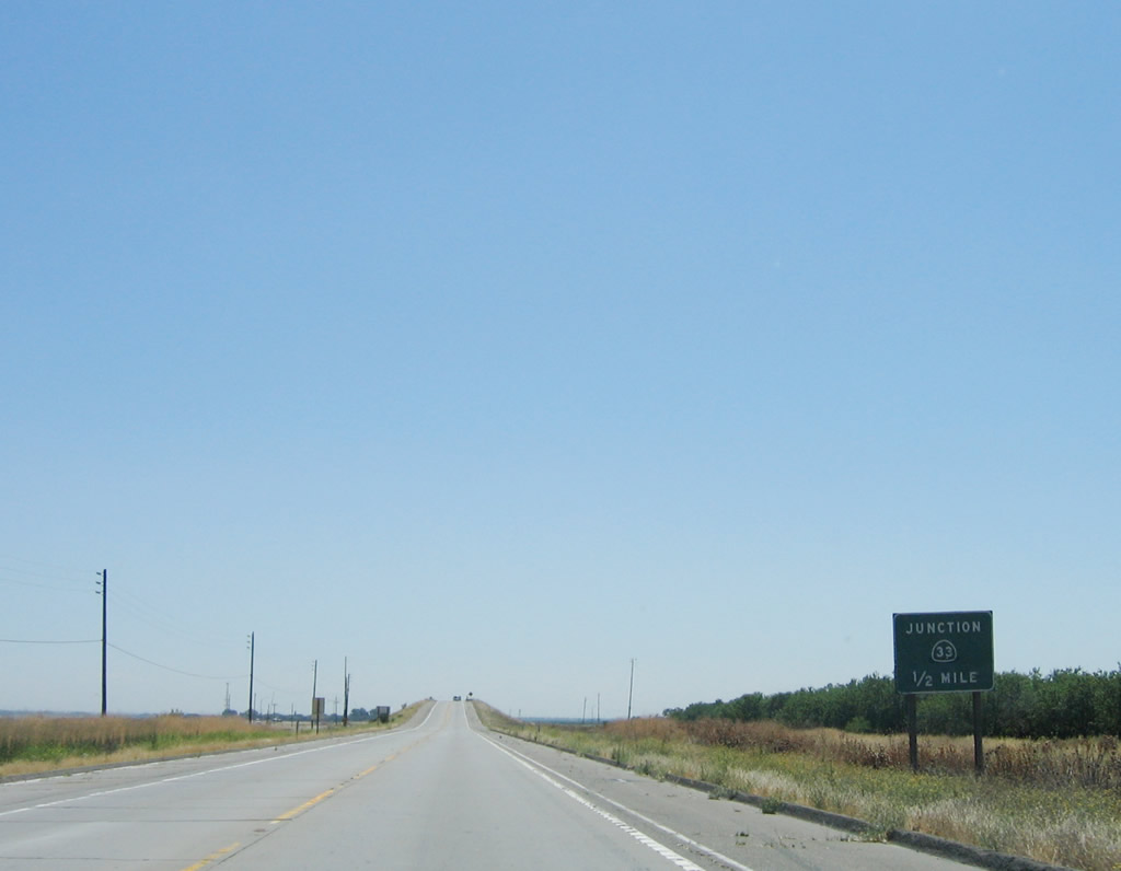
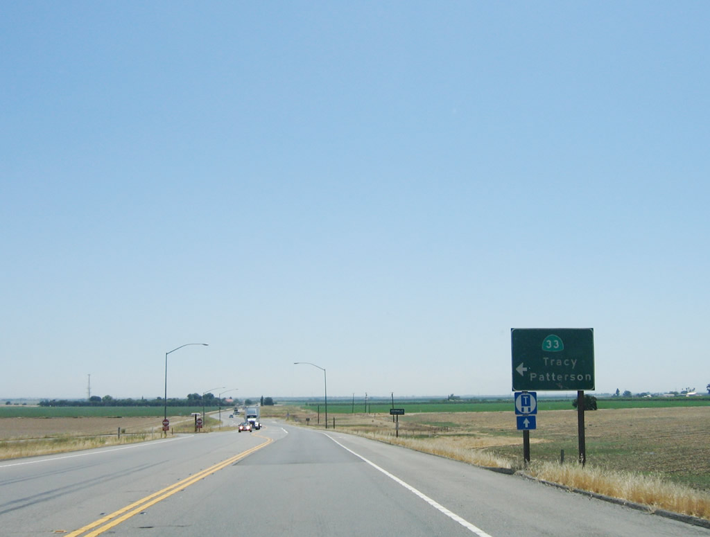
The next exit on two-lane California 132 east is the junction with California 33/Ahern Road near Vernalis. Use California 33 south to Vernalis and Westley and north to Tracy.
07/05/06
The California 132 and California 33 intersection is grade-separated; a left turn is required from California 132 east to California 33 north/south. The left turn ramp comes after California 132 passes over California 33.
07/05/06
Eastbound California 132 meets the connecting road to California 33 at this left turn. Trucks should continue straight ahead toward Modesto.
07/05/06
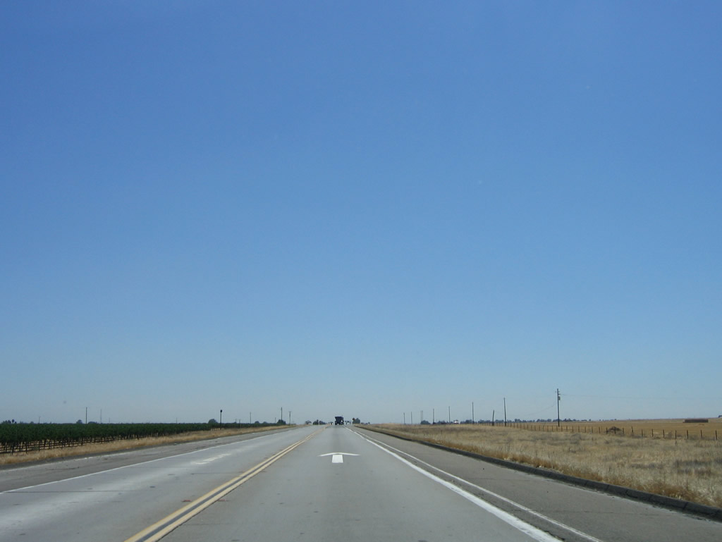
After passing the Welty Road and Greenwood Road intersections, California 132 leaves San Joaquin County and enters Stanislaus County.
07/05/06
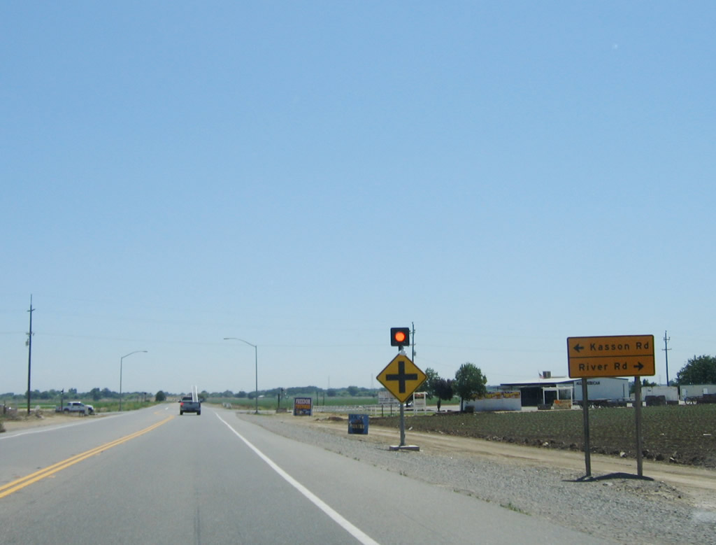
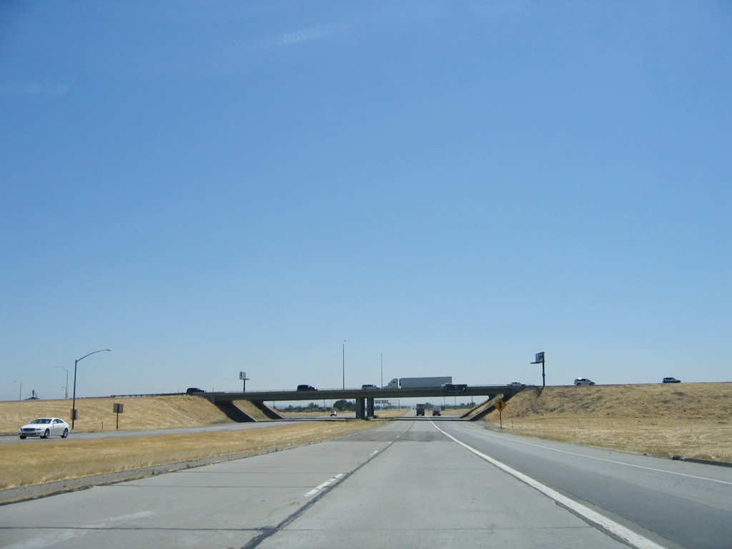
The next major intersection (after McCracken Road) along eastbound California 132 (Maze Boulevard) is Stanislaus County Route J-4 (Kasson Road) north to Tracy and Lathrop and south via River Road to Grayson.
07/05/06
Eastbound California 132 (Maze Boulevard) crosses the San Joaquin River. Any expansion to four lanes will require a bridge over this area, thus driving up the cost.
07/05/06
After departing the San Joaquin River bridge, eastbound California 132 (Maze Boulevard) skirts the wetlands and wildlife areas near the river.
07/05/06
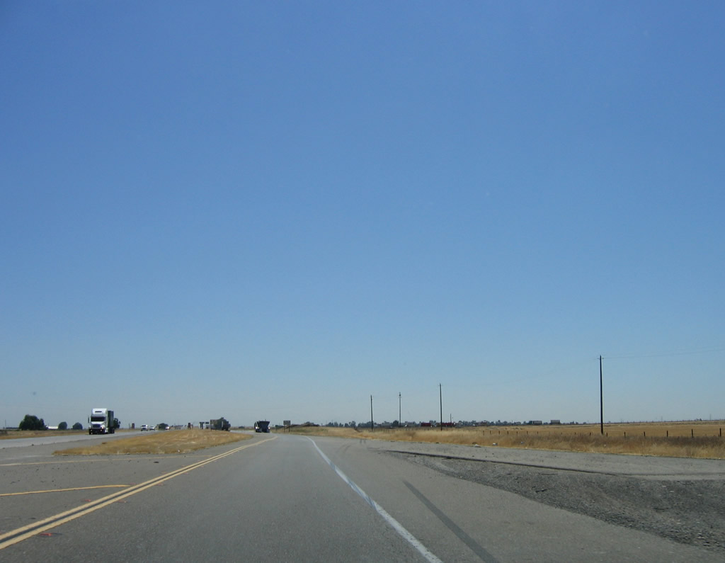
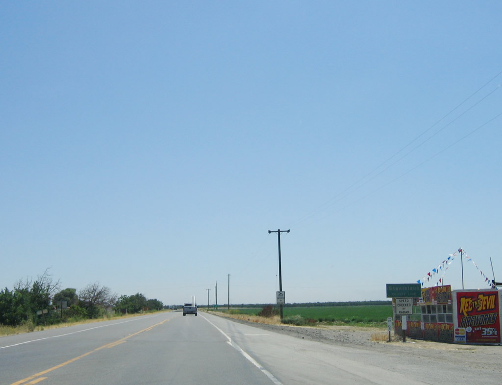
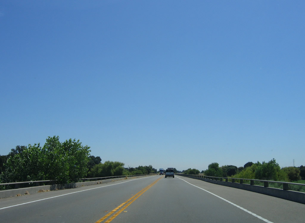
A passing lane briefly emerges on eastbound California 132.
07/05/06
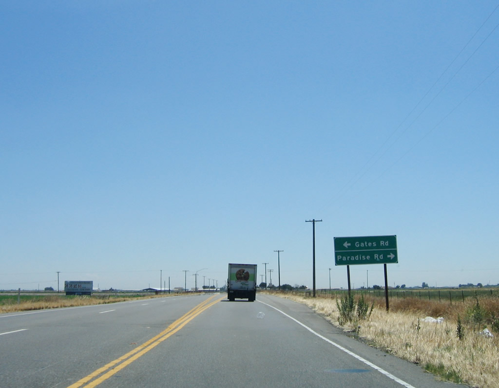
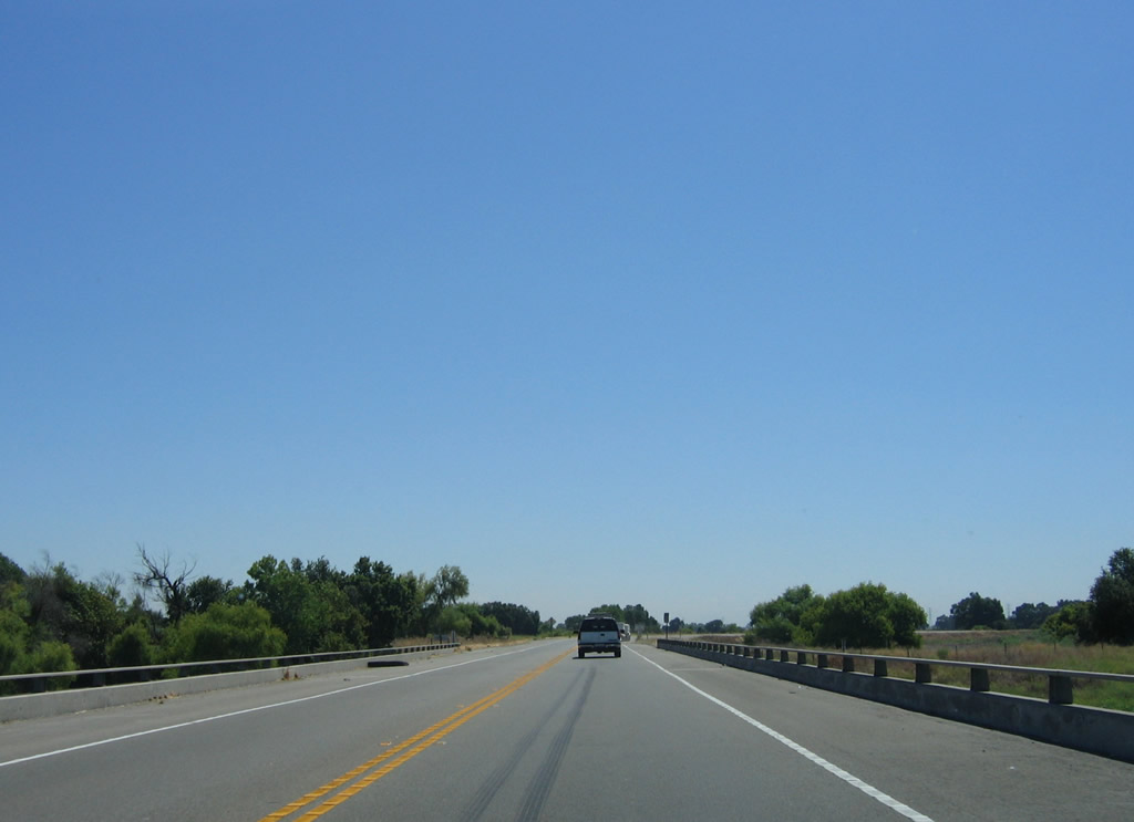
Leaving the wetlands near the river, California 132 returns to a farm and ranch area. The next intersection along eastbound California 132 is with Gates Road north and Paradise Road south.
07/05/06
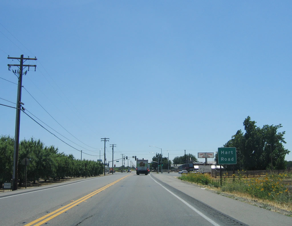
Continuing east, a traffic signal is found at Hart Road, which is the next major intersection along eastbound California 132 (Maze Boulevard).
07/05/06
A California 132 reassurance shield is posted shortly after the intersection with Dakota Avenue. Orchards and planted fields line both sides of busy California 132.
07/05/06
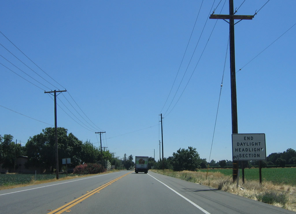
The daytime headlight section ends after the intersection with Grimes Avenue on the outskirts of burgeoning Modesto, which continues to expand with new housing.
07/05/06
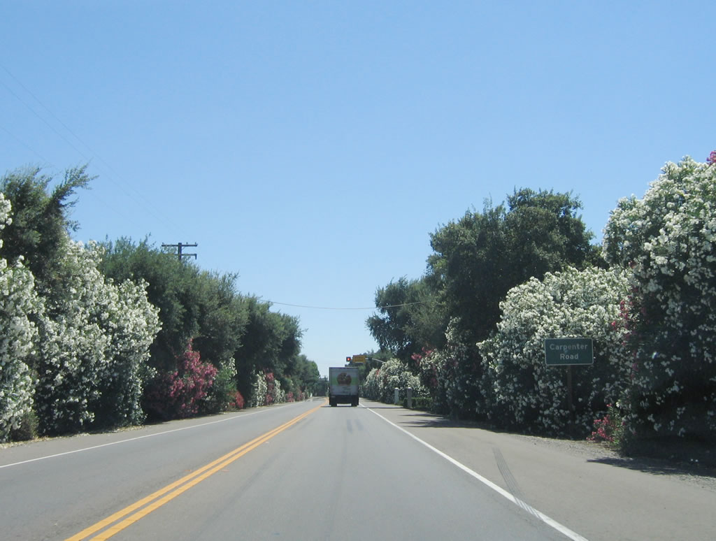
Oleanders line both sides of California 132 as the state highway approaches a signalized intersection with Carpenter Road. Upon crossing Carpenter Road, California 132 enters the city of Modesto, the city of "Water, Wealth, Contentment, Health." Modesto is the seat of Stanislaus County and had a 2000 census population of 188,856. Current estimates place the population figure above 200,000 as of 2005. This city is also the hometown of director George Lucas, who wrote theStar Warsmovies and also directed a movie (American Graffiti) that was set in Modesto.
07/05/06
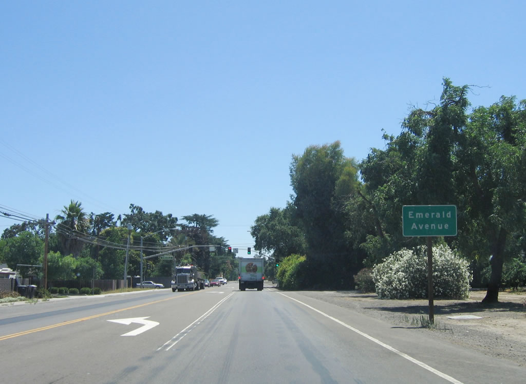
The next traffic signal along eastbound California 132 (Maze Boulevard) is with Emerald Avenue. Note the wide right of way for this two-lane highway, which allows for future expansion.
07/05/06
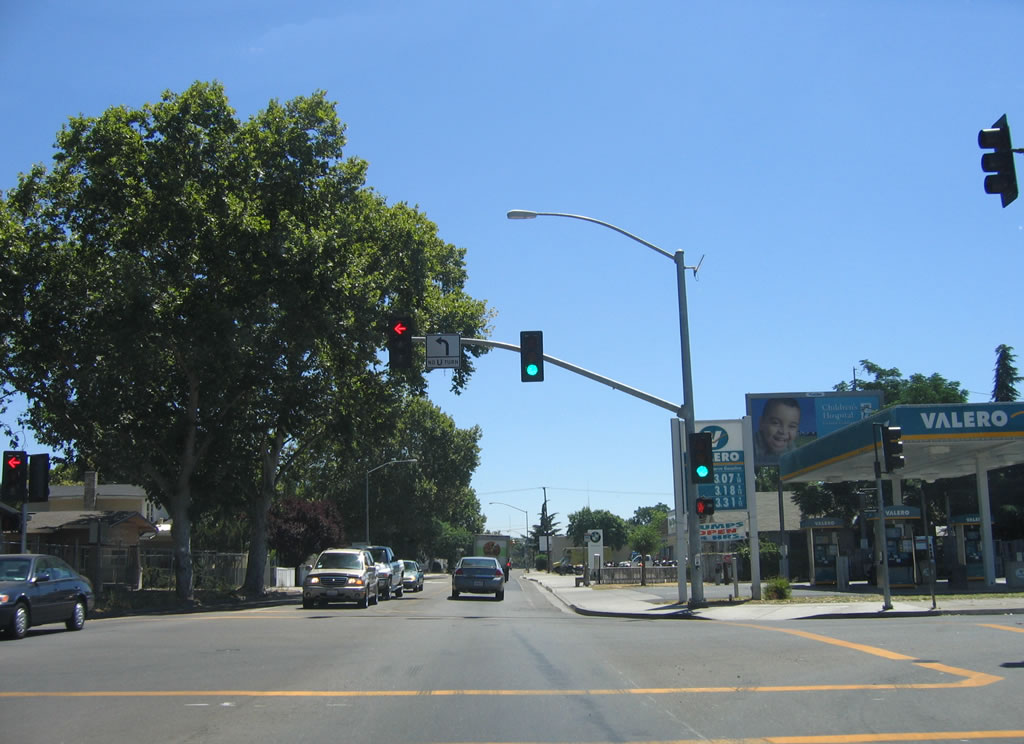
Passing through residential areas of western Modesto, the next traffic signal is with Dr. Martin Luther King, Jr. Drive. Downtown Modesto and the interchange with California 99 is not far east of here.
07/05/06
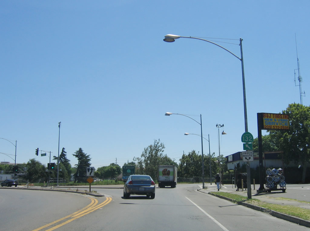
A California 132 east trailblazer is posted as Maze Boulevard turns a bit to the northeast, changing into L Street and entering downtown Modesto. At this traffic signal, turn south on 5th Street to California 99 south to Turlock, Fresno, and Bakersfield. Cross over California 99, then turn left on 6th Street to California 99 north to Stockton and Sacramento.
07/05/06
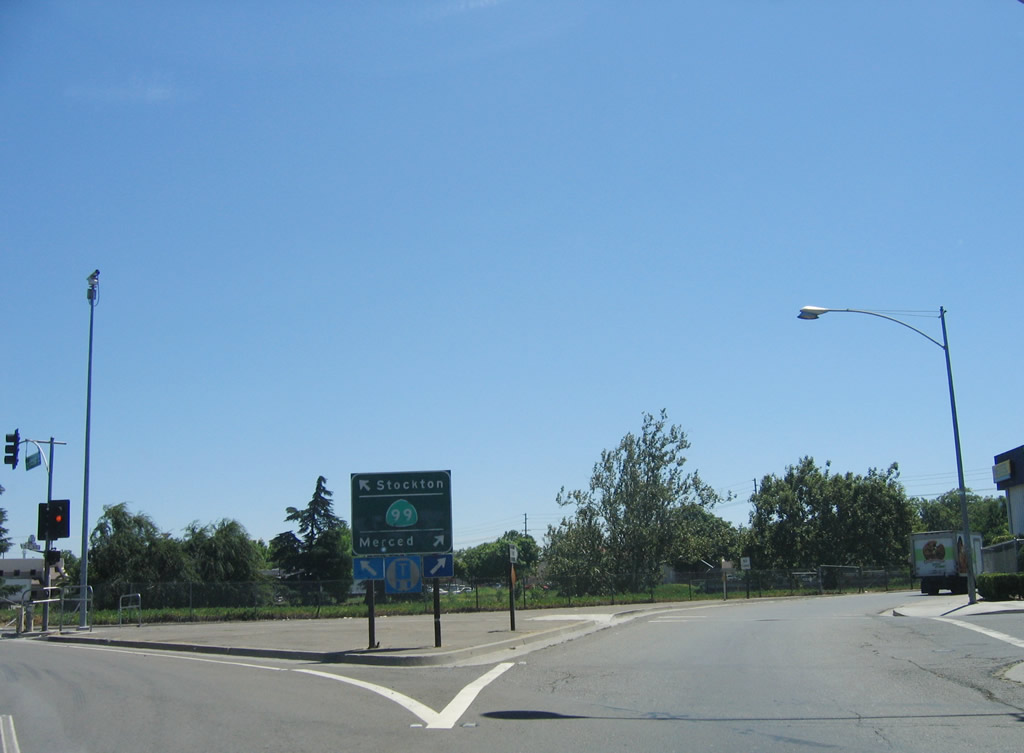
At the intersection with 6th Street, a trailblazer sign for California 99 directs southbound traffic to turn right, while California 132 east traffic continues east into downtown Modesto.
07/05/06
![Eastbound California 132 meets California 49 (Gold Country [Mother Lode] Highway) in Coulterville.](../../ca/132/ca-132_eb_end_app_jct_ca-049_coulterville.jpg)
Eastbound California 132 meets California 49 (Gold Country [Mother Lode] Highway) in Coulterville.
2002
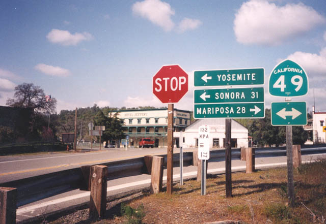
California 132 ends at the intersection with California 49 in Coulterville.
2002
After the two-lane segment, westbound California 132 approaches Exits 4B-A, Interstate 5. The first ramp of this cloverleaf interchange connects to Interstate 5 north to Tracy, Stockton, and Sacramento, while the second ramp connects to Interstate 5 (Westside Highway) south to Los Angeles.
07/05/06
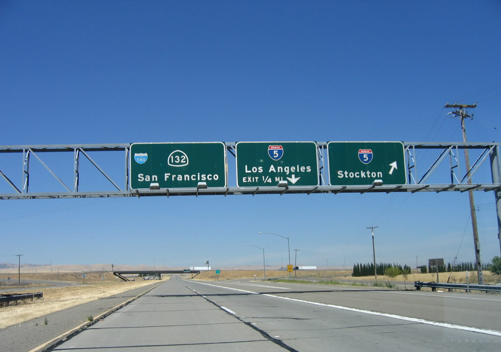
Westbound California 132 meets Exit 4B, Interstate 5 north to Tracy, Stockton, and Sacramento. The second ramp transitions to Interstate 5 (Westside Highway) south to Los Angeles. Follow California 132 west to Interstate 580 to San Francisco.
07/05/06
Shortly thereafter, California 132 west meets Exit 4B, Interstate 5 (Westside Highway) south to Los Angeles. Continue straight ahead to Chrisman Road north to Tracy and Interstate 580 west to San Francisco.
07/05/06
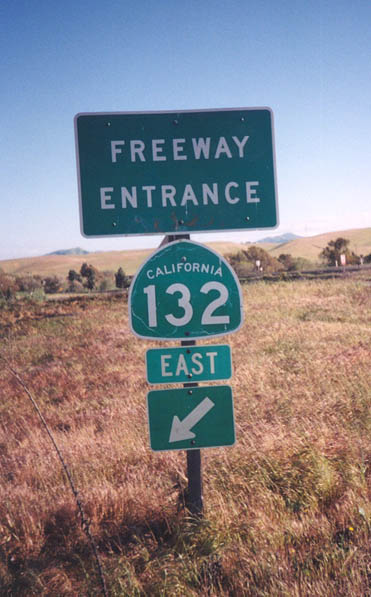
Eastbound California 132 freeway entrance assembly between Interstate 580 and Interstate 5.
2002
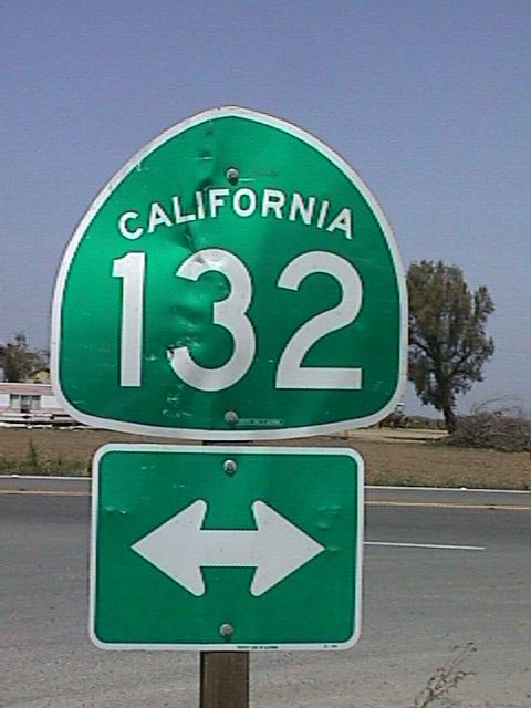
This California 132 trailblazer is posted on northbound Paradise Road between Vernalis and Modesto near the San Joaquin River.
06/19/01
Photo Credits:
- Andy Field: 07/05/06
- Trevor Carrier: 2002
- Joel Windmiller: 06/19/01
Connect with:
Page Updated Saturday October 06, 2007.