
State Route 135 North - Los Alamos to Santa Maria
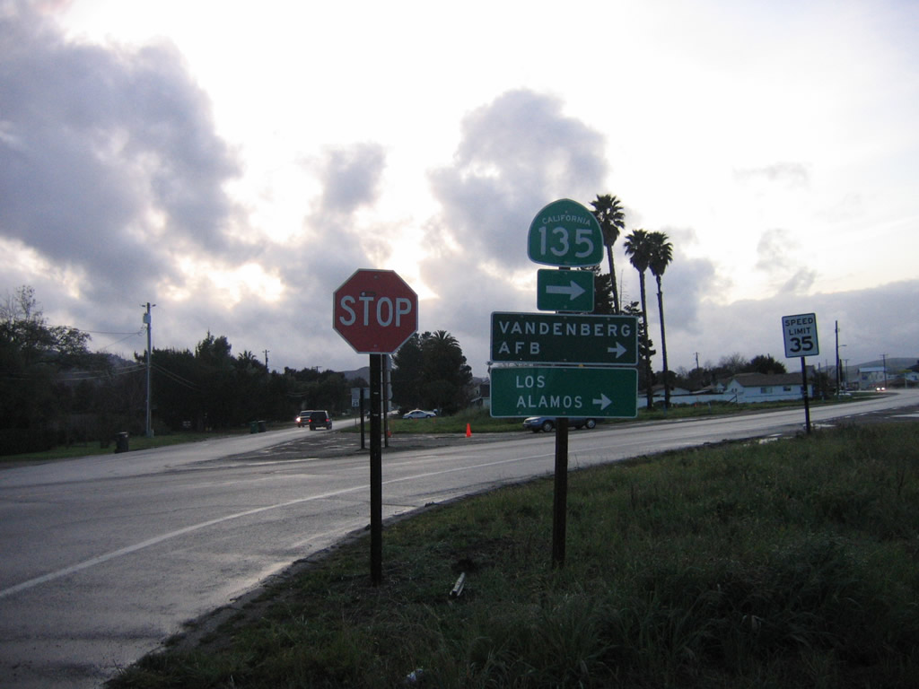
Immediately after departing from U.S. 101 at the Main Street exit in Los Alamos, California 135 turns right (north) on Bell Street, which is the original route of U.S. 101 through Los Alamos.
03/20/06
A puddle-strewn turnout provides reflections on a late-day scene along California 135 (Bell Street) north in Los Alamos.
03/20/06
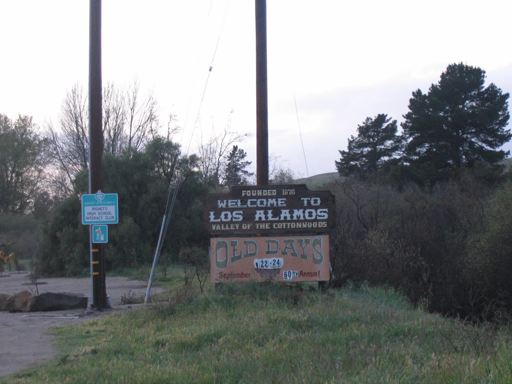
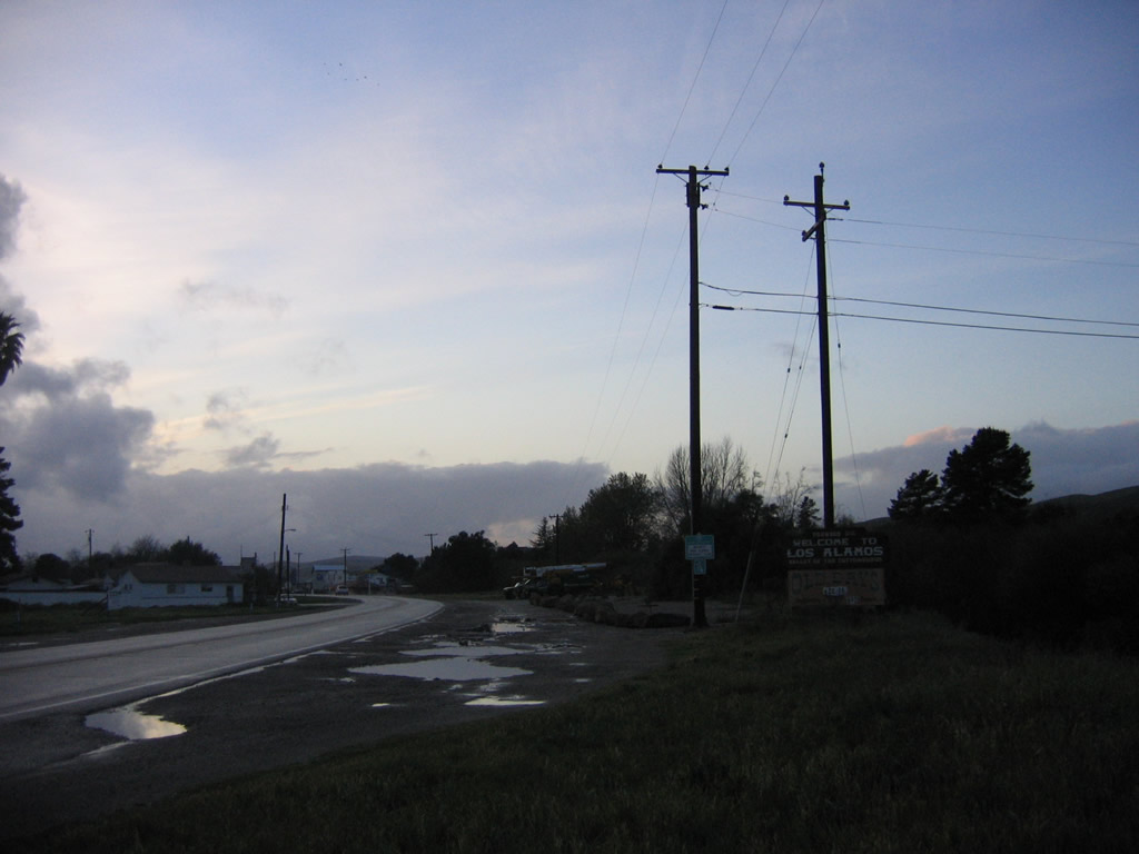
A Los Alamos welcome sign is posted just north of there, prior to entering downtown. (Now we skip ahead to where California 1 and California 135 merge together.)
03/20/06
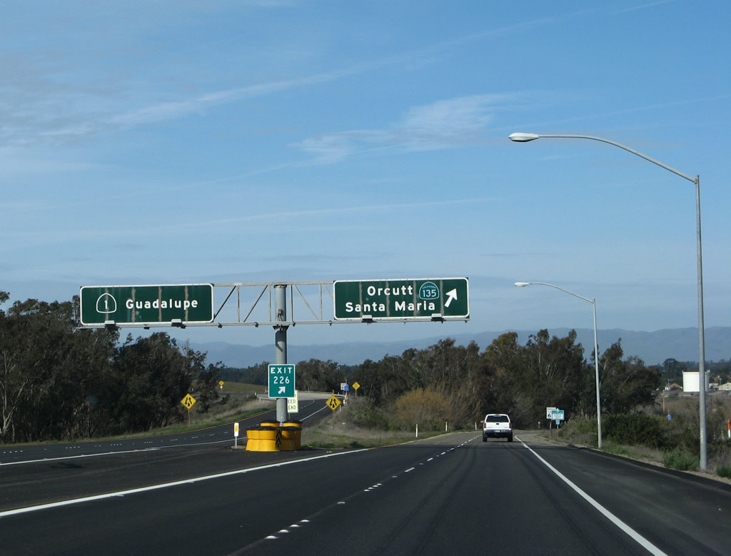
SR 135 combines with SR 1 (Cabrillo Highway) for 3.00 miles heading north toward Orcutt. The two part ways at a wye interchange (Exit 226). Replaced by 2017, these porcelain enamed overhead signs showed the continuation of SR 1 northwest to Guadalupe and SR 135 northeast along Orcutt Expressway to Orcutt and Santa Maria.
02/02/08
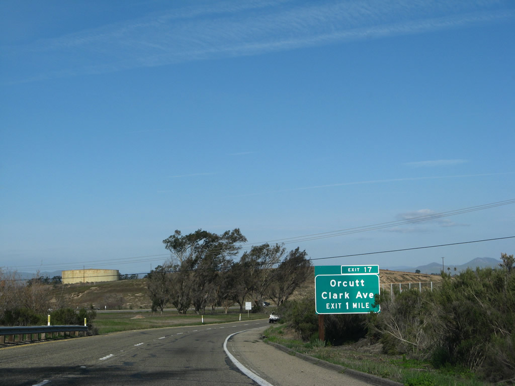
The first exit on California 135 (Orcutt Expressway) is Exit 17, Clark Avenue (one mile). The interchange serves the unincorporated community of Orcutt, which is located south of the city of Santa Maria. The Orcutt Expressway passes through the community; while Exit 17 is a full freeway interchange, California 135 downgrades to an expressway configuration for the connection to future Union Valley Parkway and Foster Road.
02/02/08
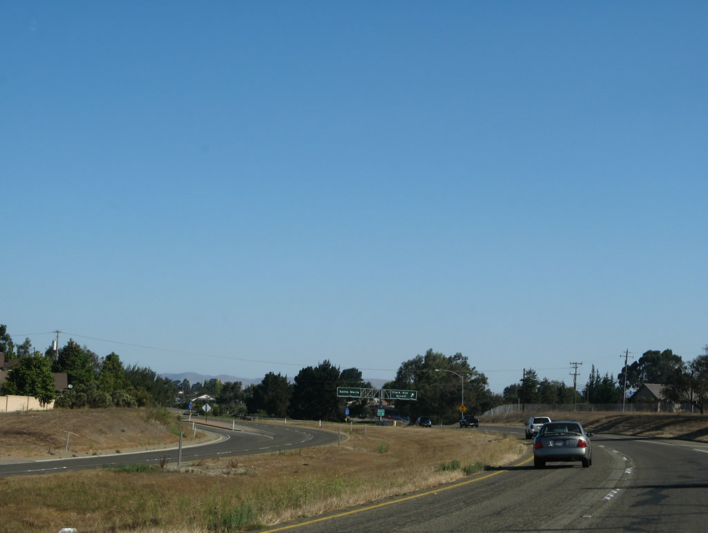
This view shows the California 135 freeway as it approaches Exit 17 (Clark Avenue to downtown Orcutt).
09/30/07
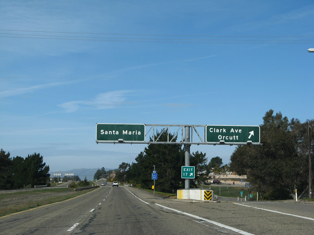
Northbound California 135 (Orcutt Expressway) reaches Exit 17, Clark Avenue. Again note the use of older, porcelain enamel signs at the off-ramp to Exit 17 similar to those found at the California 1 and California 135 split. No California 135 reassurance shield is posted on the overhead pull-through sign.
02/02/08
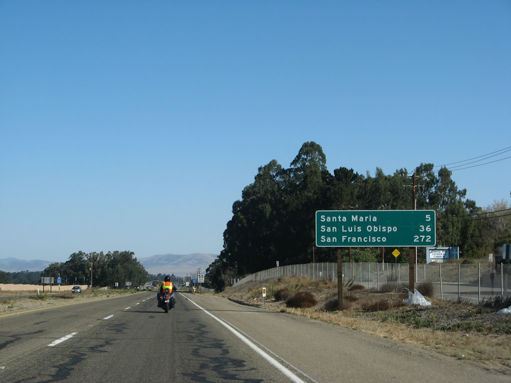
After the Clark Avenue interchange, this mileage sign provides the distance to Santa Maria (five miles), San Luis Obispo (36 miles), and the control city of San Francisco (272 miles).
09/30/07
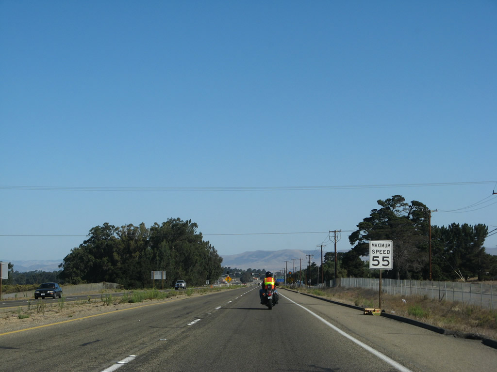
The proposed Union Valley Parkway intersection will be located approximately here once built in 2012.
09/30/07
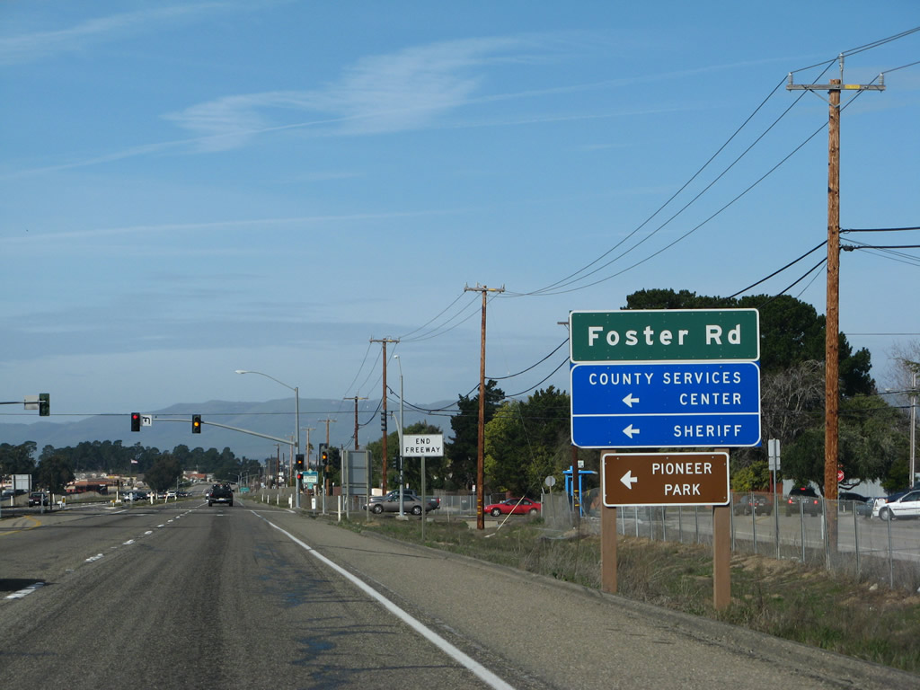
Northbound California 135 (Orcutt Expressway) approaches Foster Road at this traffic signal. The freeway ends at this point (although the northern end of the freeway may change if an intersection with the Union Valley Parkway is built once the parkway extension is completed in 2012).
02/02/08
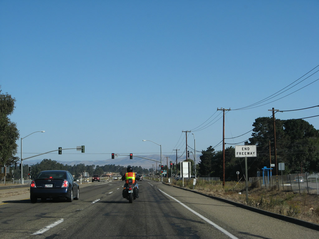
An end freeway sign is posted prior to the Foster Road traffic signal.
09/30/07
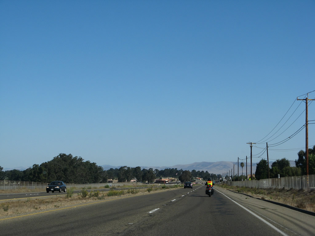
After Foster Road, California 135 continues as an expressway alignment.
09/30/07
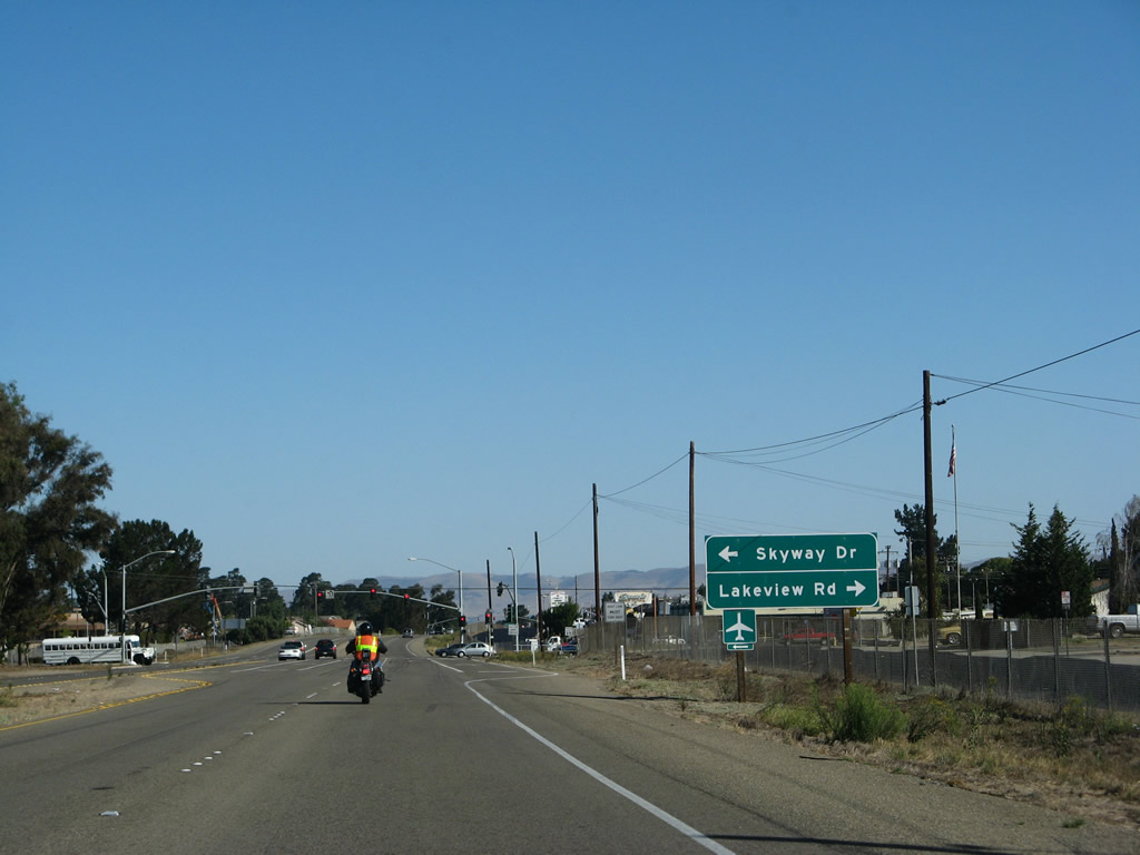
The next traffic signal along California 135 (Orcutt Expressway) north is with Skyway Drive north to the Santa Maria Airport and Lakeview Road east to U.S. 101.
09/30/07
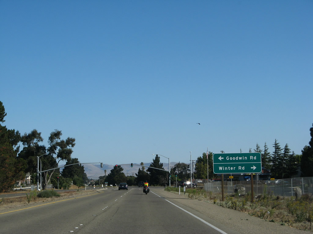
The next traffic signal along California 135 (Orcutt Expressway) north is with Goodwin Road west and Winter Road east.
09/30/07
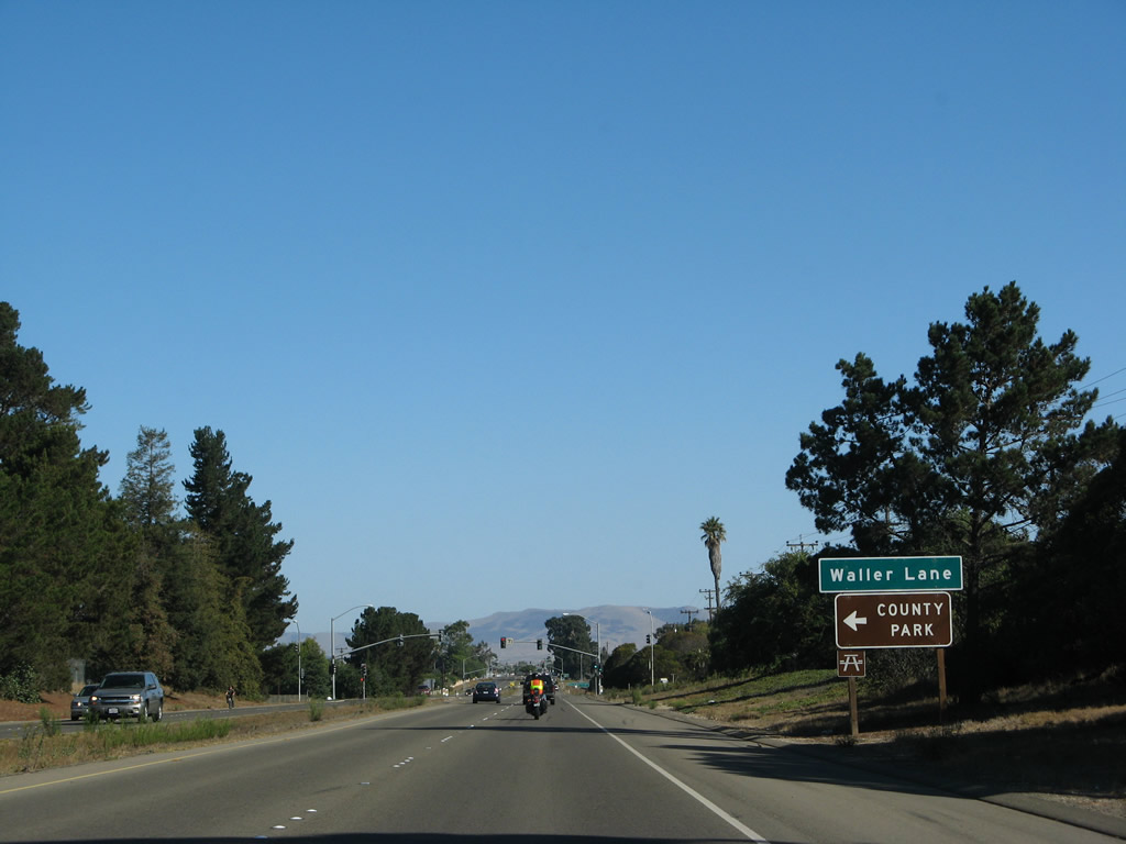
Northbound California 135 (Orcutt Expressway) approaches Waller Lane.
09/30/07
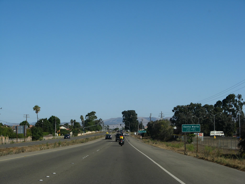
California 135 enters Santa Maria and becomes known as Broadway. The city of Santa Maria had a population of 77,423 as of the 2000 Census. Santa Maria is the largest city in Santa Barbara County and is known for its wine country, agriculture, proximity to Vandenburg Air Force Base, and barbecue. Santa Maria consists of 19.7 square miles, and nearby Orcutt, Lompoc, and Guadalupe expand along with the city of Santa Maria.
09/30/07
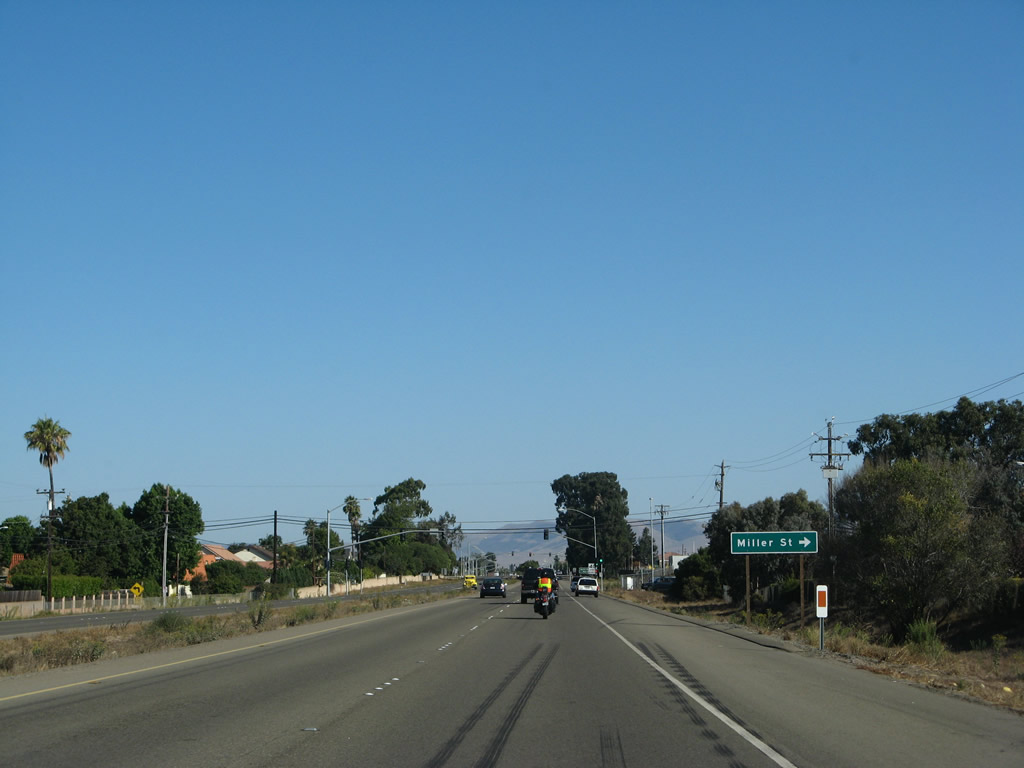
Northbound California 135 (Broadway) approaches Miller Street. Broadway retains expressway standards for a little while longer before becoming a conventional city street.
09/30/07
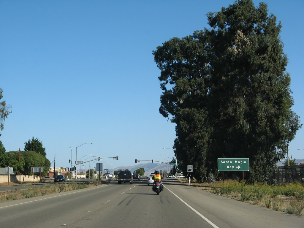
The next intersection along California 135 (Broadway) north is with U.S. 101 Business (Santa Maria Way) south to U.S. 101.
09/30/07
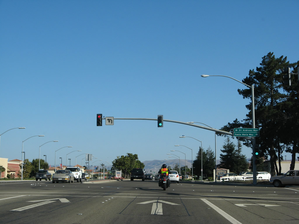
Northbound California 135 (Broadway) meets U.S. 101 Business (Santa Maria Way) at this traffic signal. U.S. 101 Business and California 135 travel north from this point along Broadway toward downtown Santa Maria.
09/30/07
Photo Credits:
- Andy Field: 03/20/06, 09/30/07, 02/02/08
Connect with:
Page Updated Monday May 04, 2009.