
State Route 135 South - Santa Maria to Los Alamos
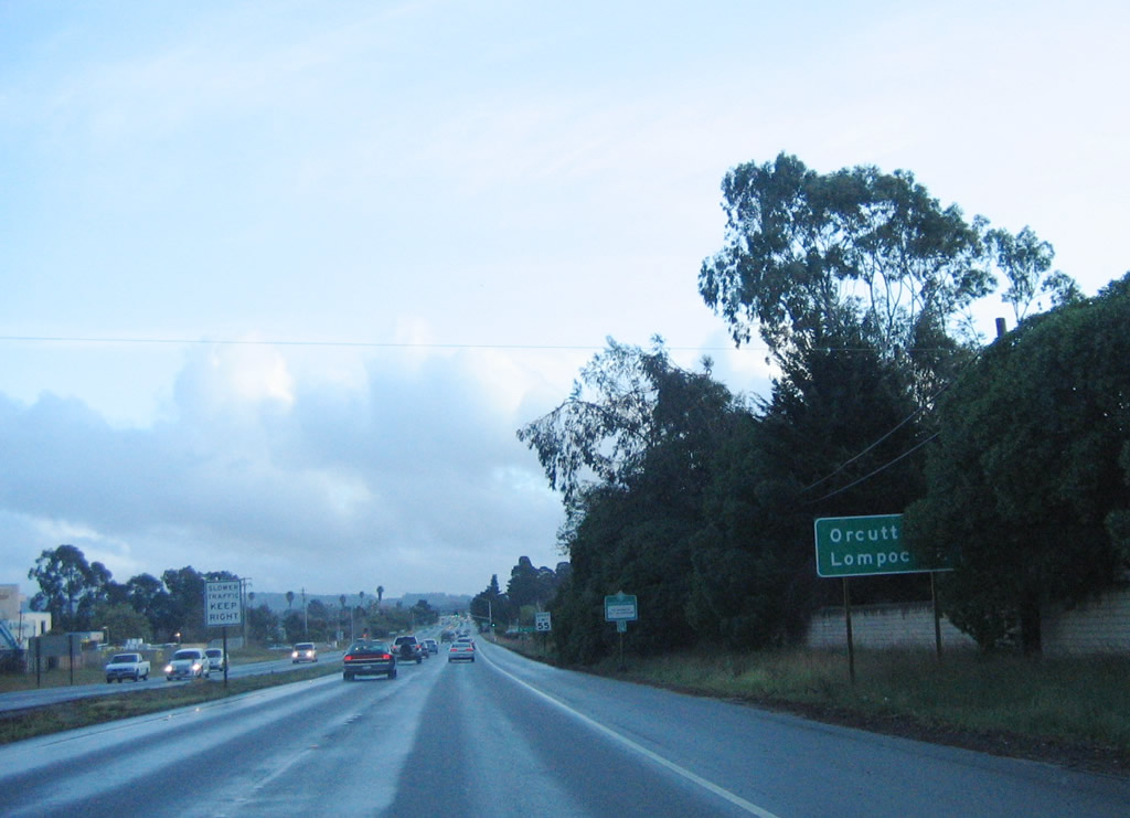
After U.S. 101 Business splits, this mileage sign provides the distance to Orcutt and Lompoc via California 135 south.
03/20/06
South of U.S. 101 Business (Santa Maria Way), California 135 features expressway standards with no driveways, access limited to signalized intersections, and proper spacing of access points. After Miller Street, California 135 leaves the city of Santa Maria and enters unincorporated Orcutt.
03/20/06
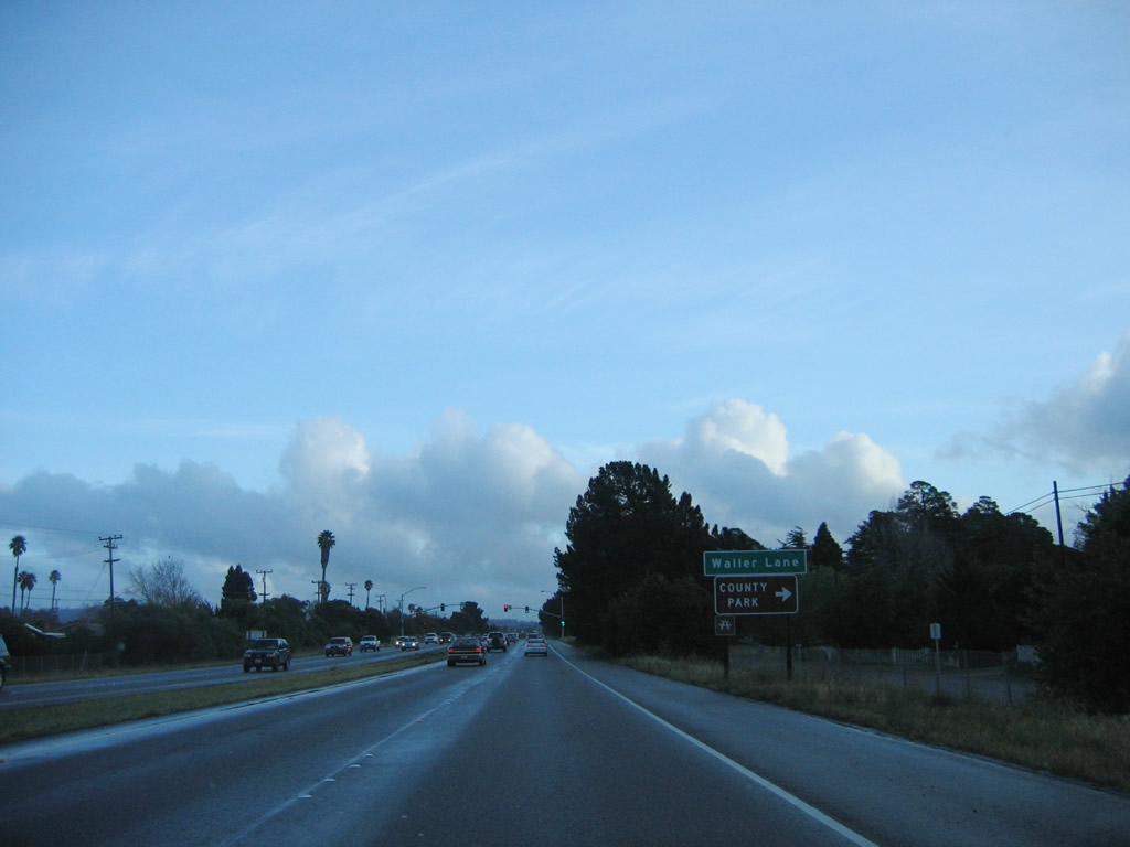
The next signalized intersection along California 135 south is with Waller Lane.
03/20/06
Southbound California 135 (Orcutt Expressway) meets Waller Lane at this intersection.
03/20/06
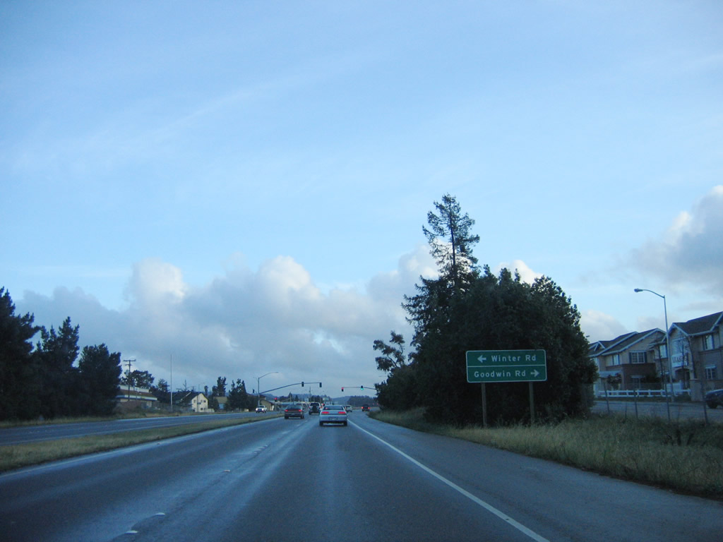
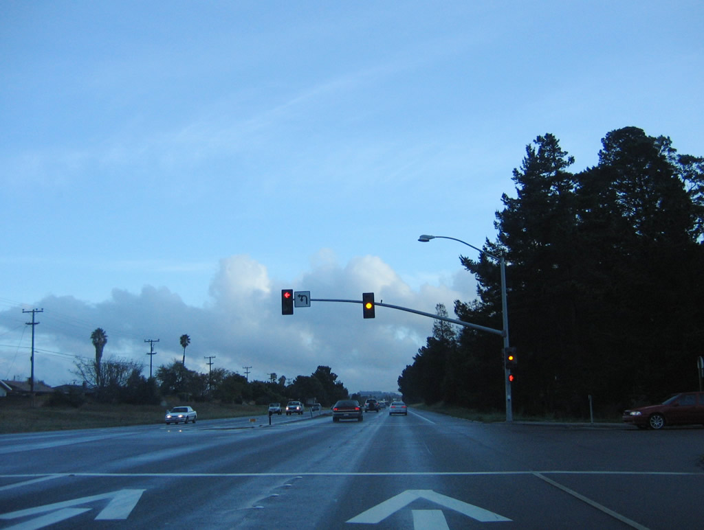
The next intersection along California 135 (Orcutt Expressway) south is with Goodwin Road and Winter Road.
03/20/06
Southbound California 135 (Orcutt Expressway) meets Goodwin Road and Winter Road.
03/20/06
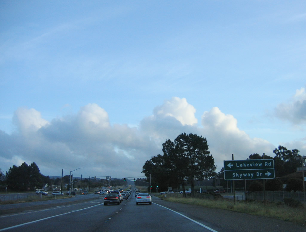
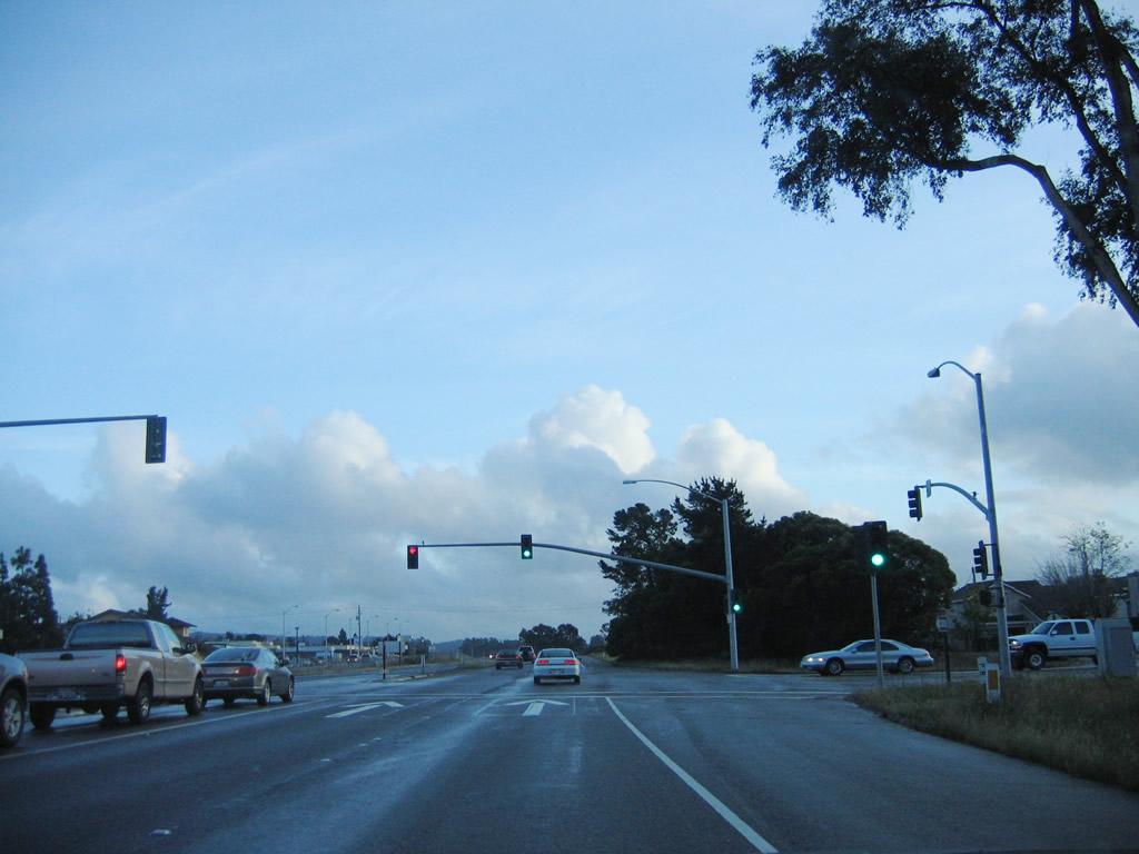
The next intersection along California 135 (Orcutt Expressway) south is with Skyway Drive and Lakeview Road.
03/20/06
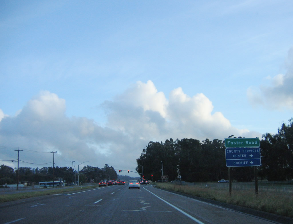
The next intersection along California 135 (Orcutt Expressway) south is with Foster Road.
03/20/06
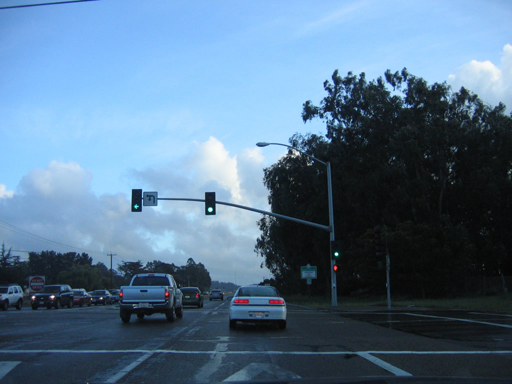
Southbound California 135 (Orcutt Expressway) meets Foster Road at this signalized intersection. After this intersection, the California 135 freeway begins for the rest of the way through Orcutt.
03/20/06
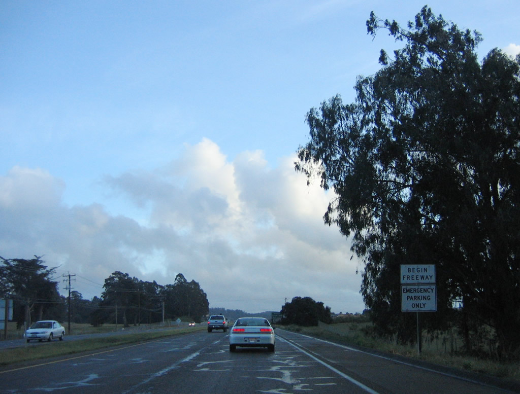
A begin freeway sign is posted after the Foster Road intersection.
03/20/06
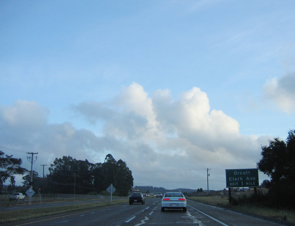
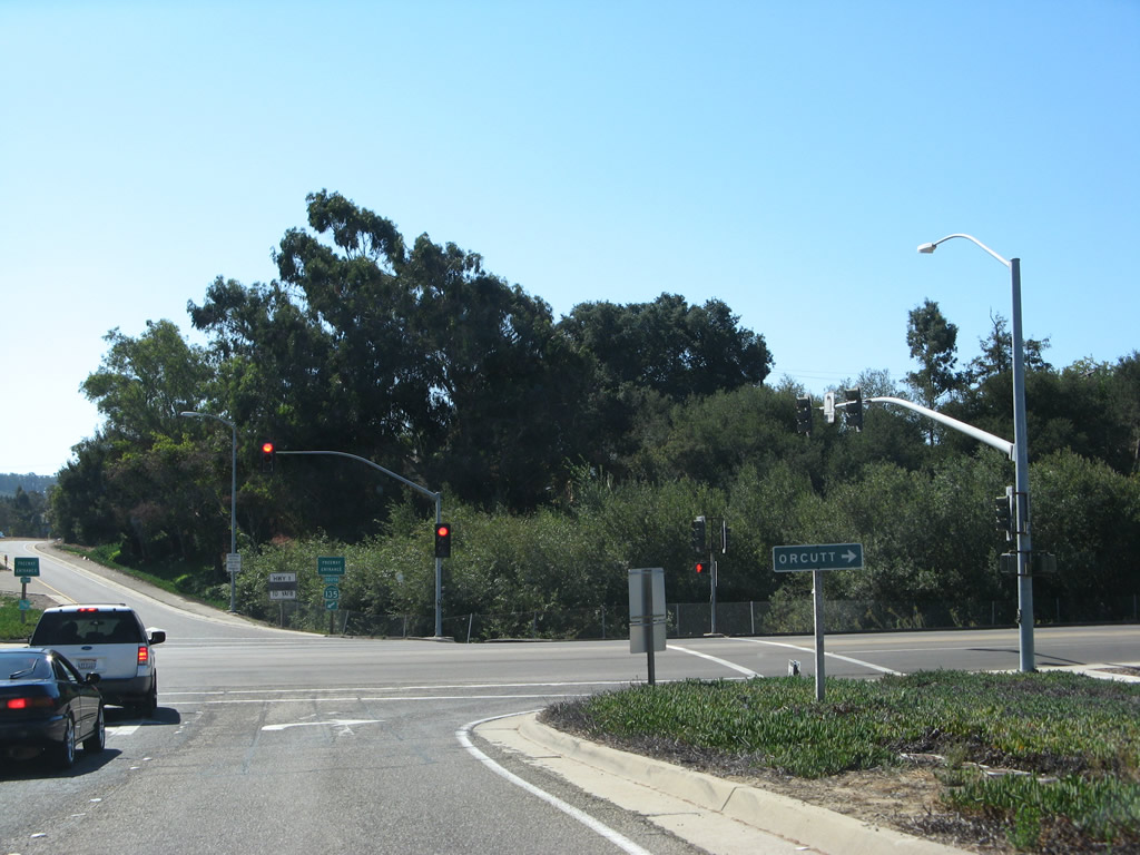
The next exit along southbound California 135 (Orcutt Expressway) is Exit 17, Clark Avenue west to downtown Orcutt and east to U.S. 101. The proposed Union Valley Parkway would intersect with California 135 around this point; that road is planned for opening in 2012.
03/20/06
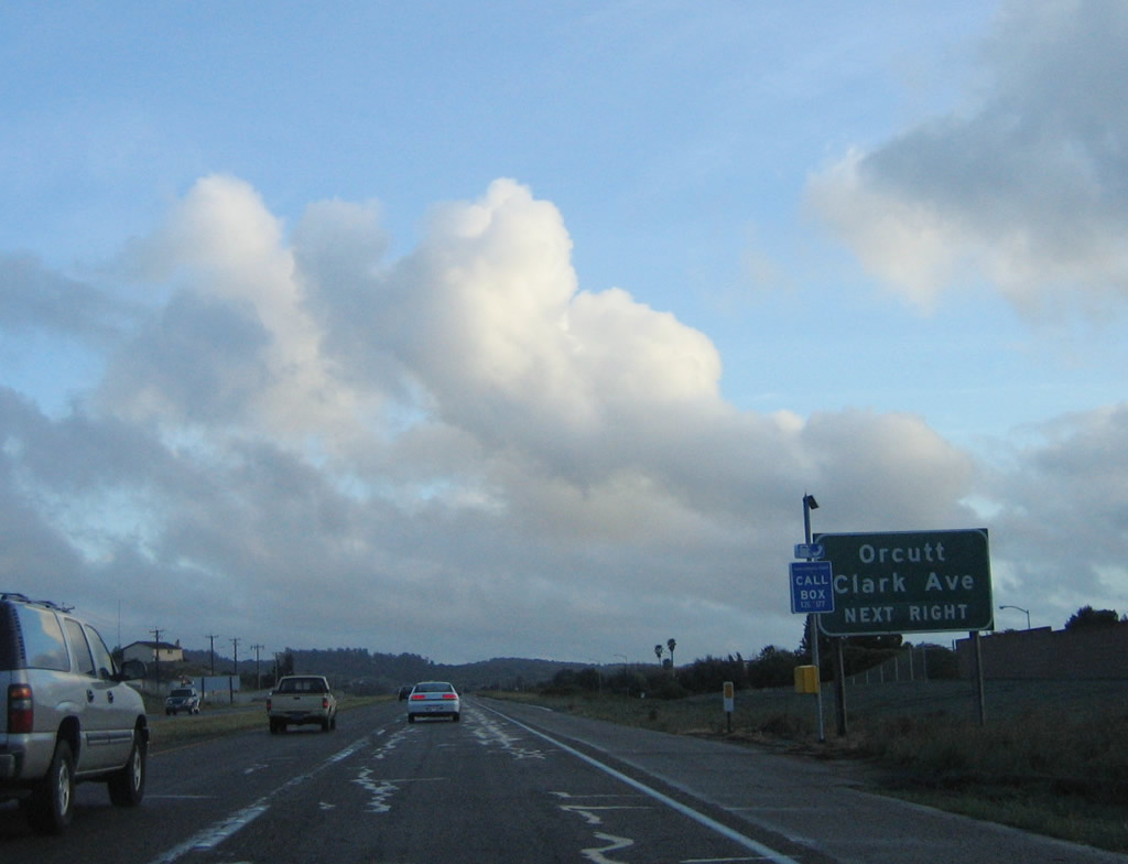
Another advance sign for Clark Avenue is posted shortly thereafter.
03/20/06
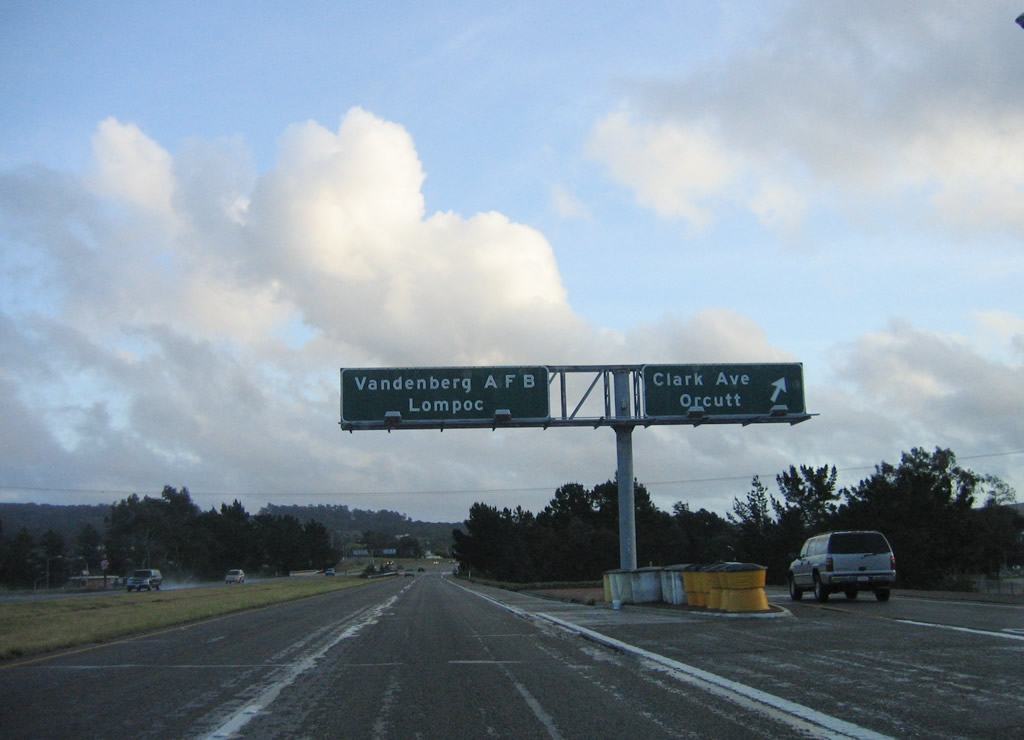
Southbound California 135 (Orcutt Expressway) meets Exit 17, Clark Avenue. The pull-through sign for Vandenberg Air Force Base and Lompoc omit the California 135 shield, perhaps because both of these destinations are served by California 1 (Cabrillo Highway) rather than California 135.
03/20/06
Upon exiting California 135 (Orcutt Expressway) south to Exit 17, Clark Avenue, turn right to Orcutt and to California 1 north.
09/30/07
A California 135 reassurance shield is posted after the on-ramp from Clark Avenue in Orcutt.
03/20/06
California 135 retains freeway standards as it proceeds south for its eventual junction with California 1. All traffic must merge with California 1 south at Exit 16; there is no access to California 1 north.
03/20/06
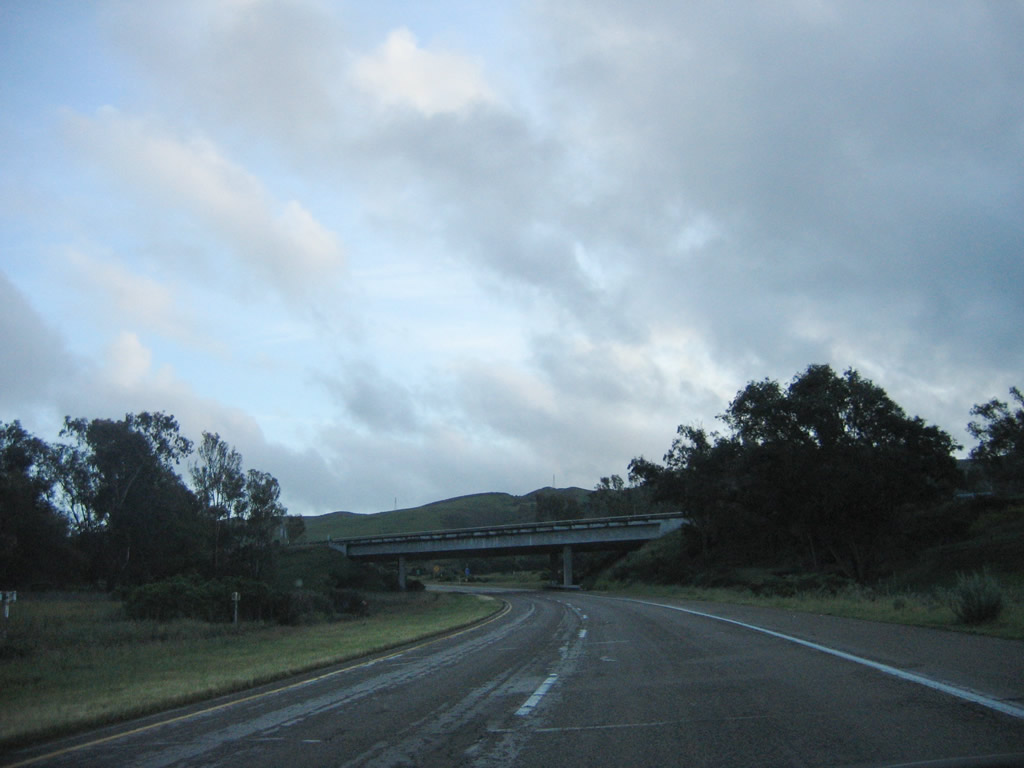
Southbound California 135 passes under the northbound transition lanes for California 1.
03/20/06
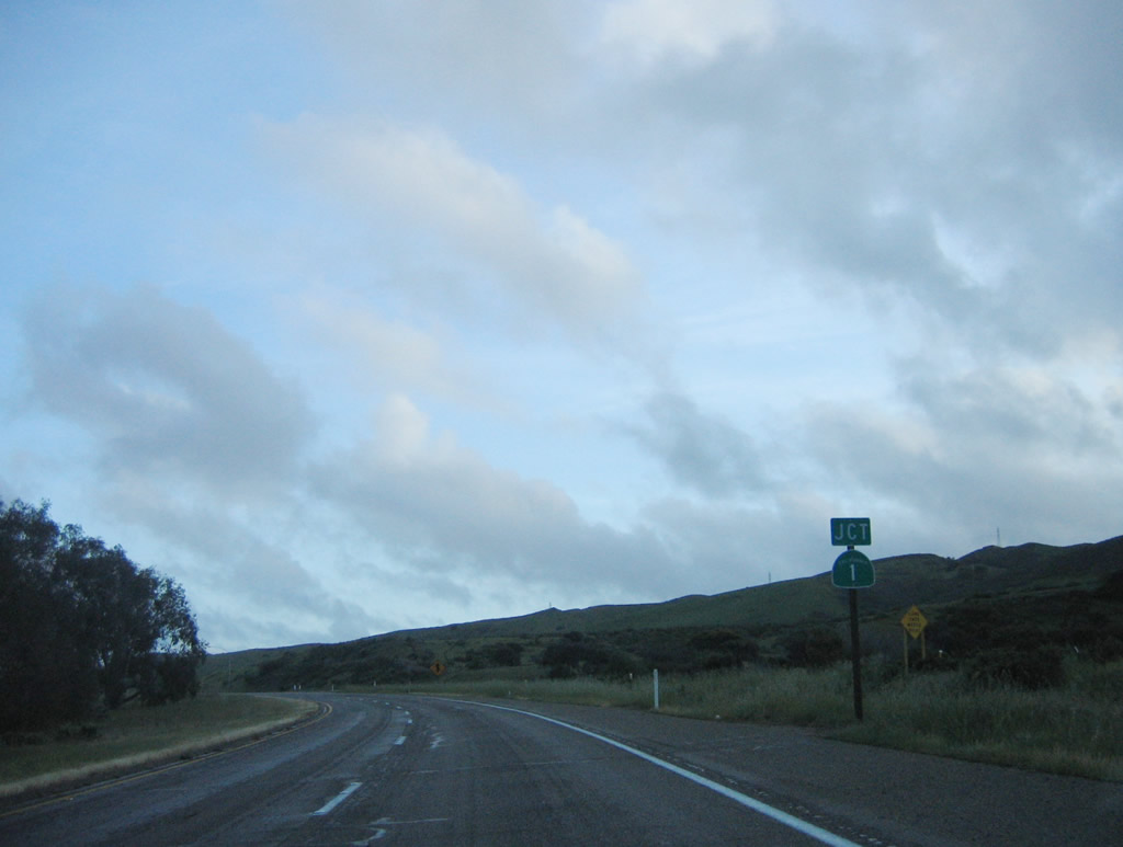
SR 135 overlaps with SR 1 for 3.00 miles south from a wye interchange at Graciosa Canyon.
03/20/06
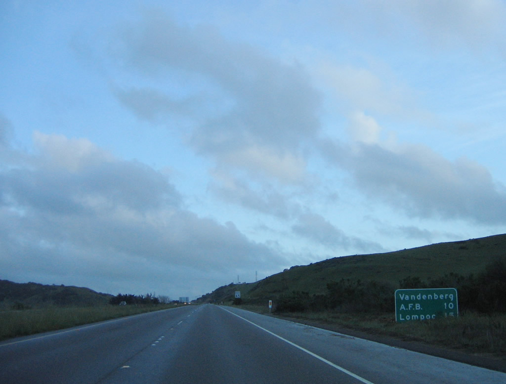
SR 1 branches west from SR 135 to Vandenberg Space Force Base and south to Lompoc.
03/20/06
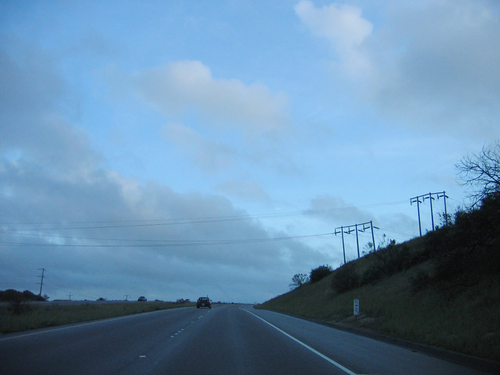
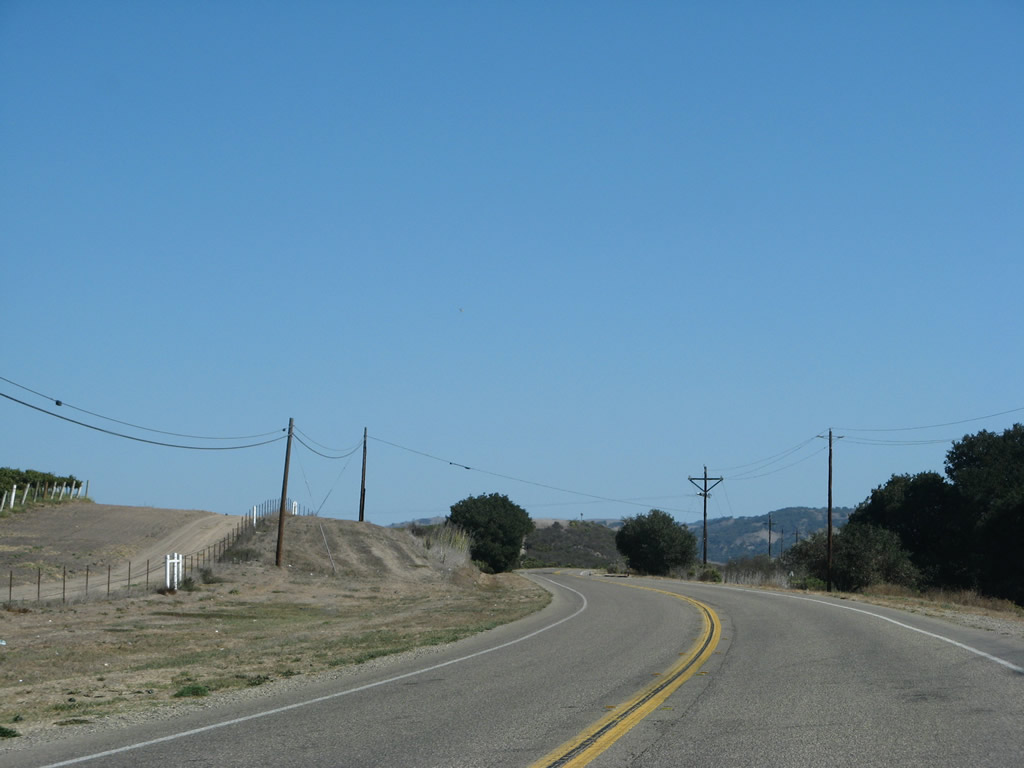
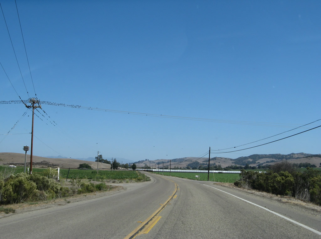
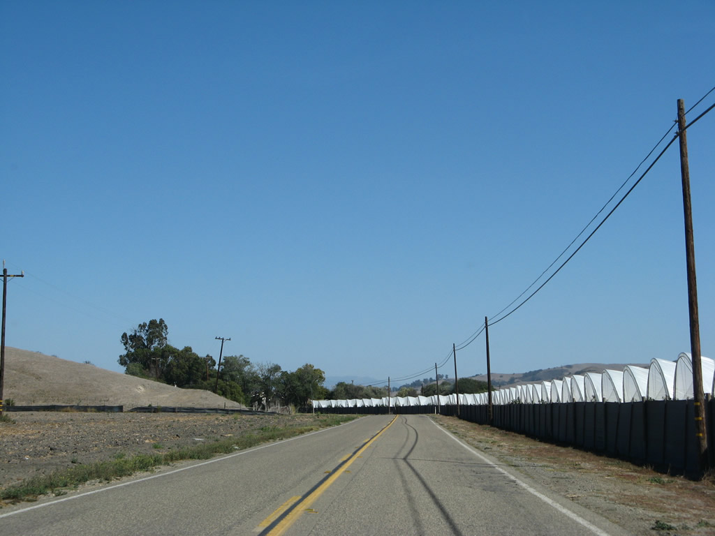
Pacific Gas and Electric power lines cross over SR 1/135 near a substation south of Orcutt. Most of this area is rural with farms and ranches.
03/20/06
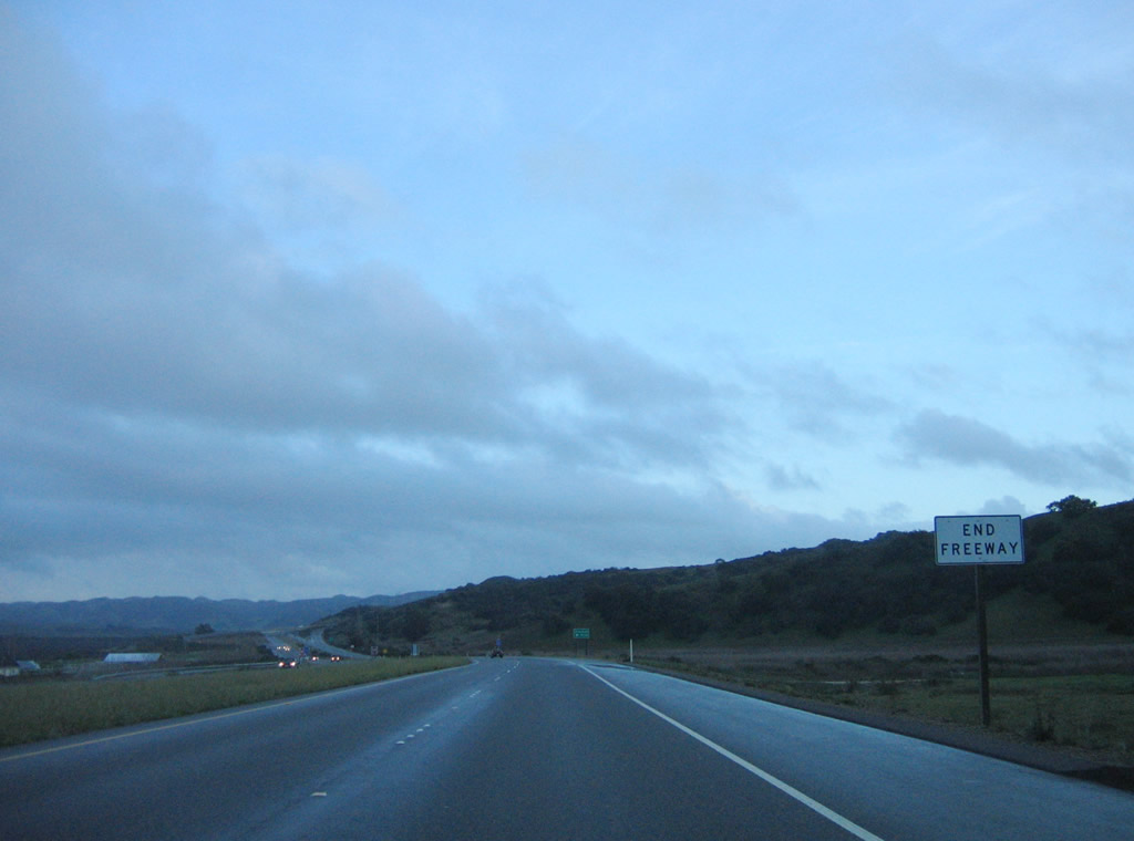
The freeway along SR 1/135 south ends prior to the at-grade intersection with the access road to Graciosa Road.
03/20/06
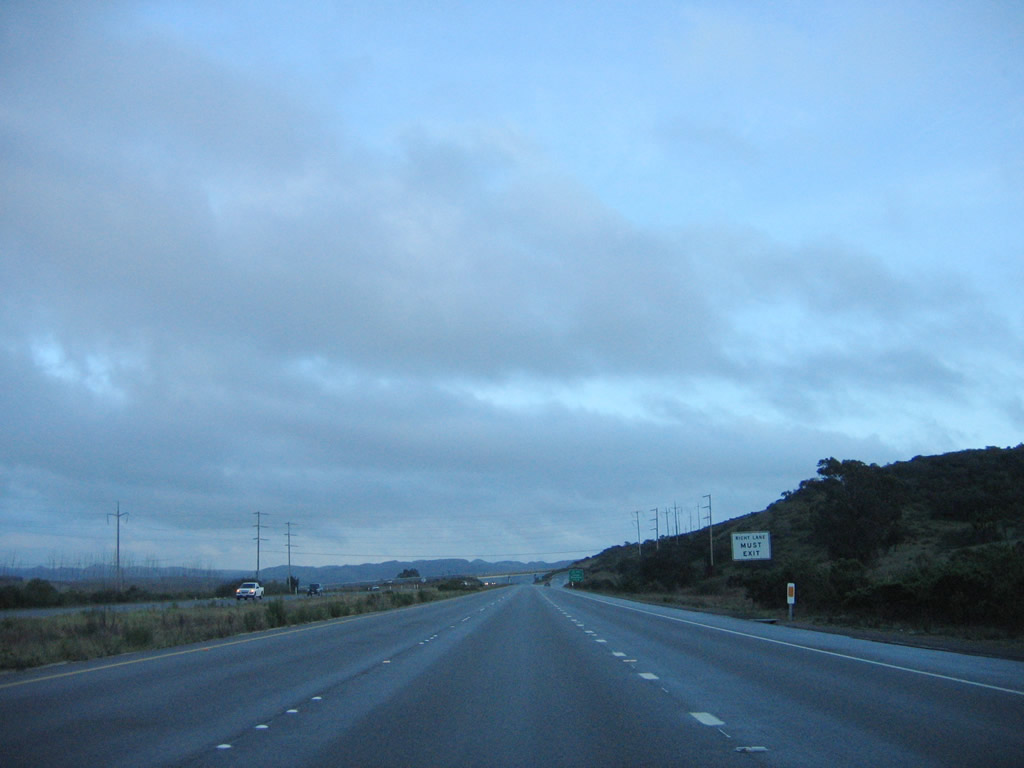
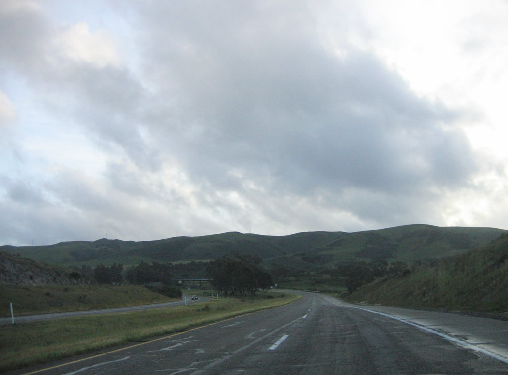
SR 135 continues south with two lanes beyond the exit ramp taking SR 1 southwest across Vandenburg Space Force Base and San Antonio Valley.
03/20/06
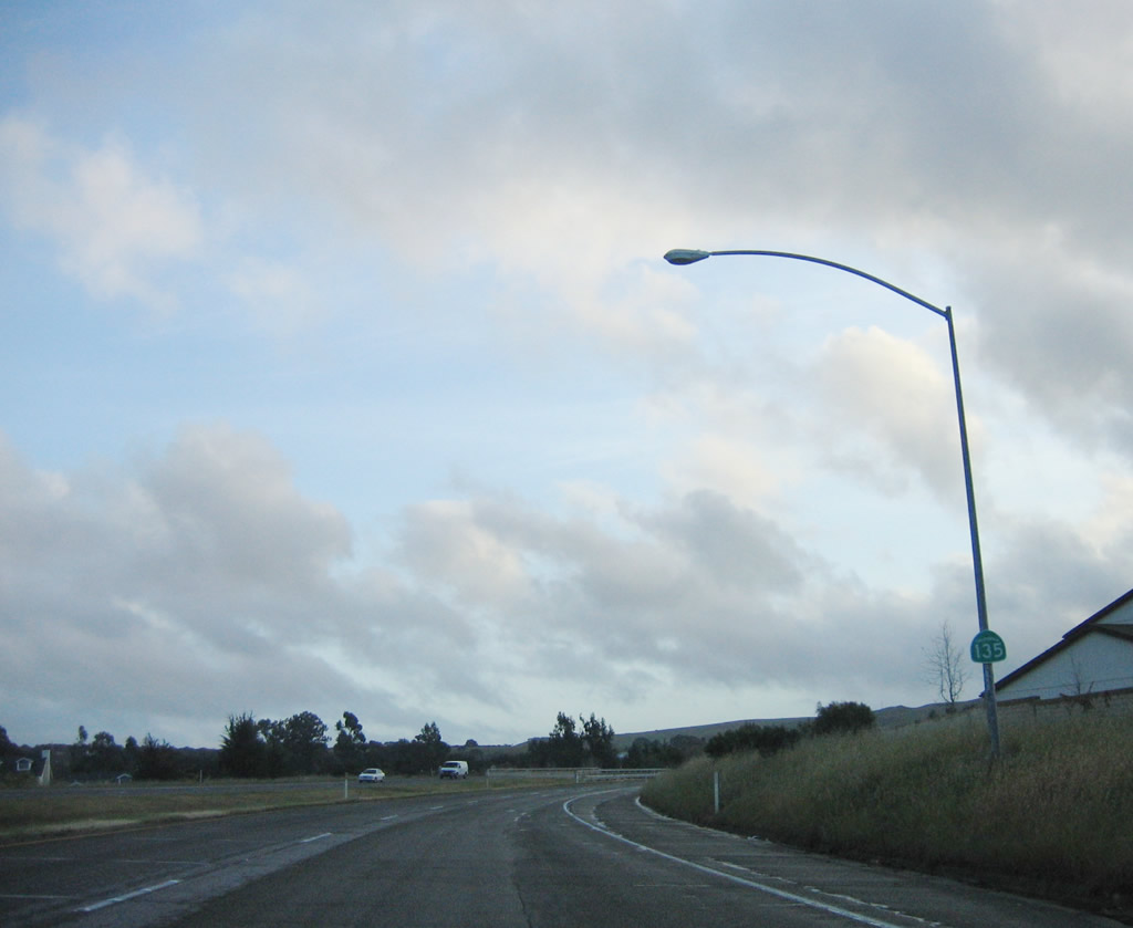
The reassurance marker for SR 135 south at the wye interchange where SR 1 branches southwest was removed by 2023.
03/20/06
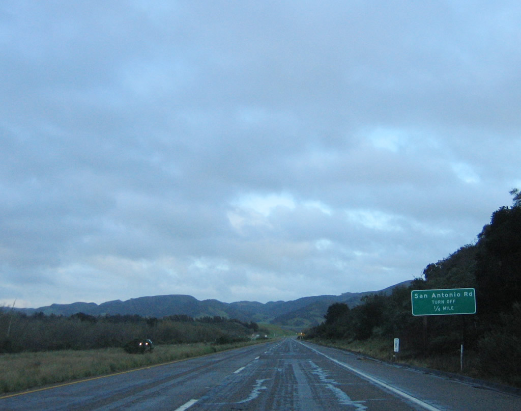
The freeway along SR 135 extends south from SR 1 to San Antonio Road.
03/20/06
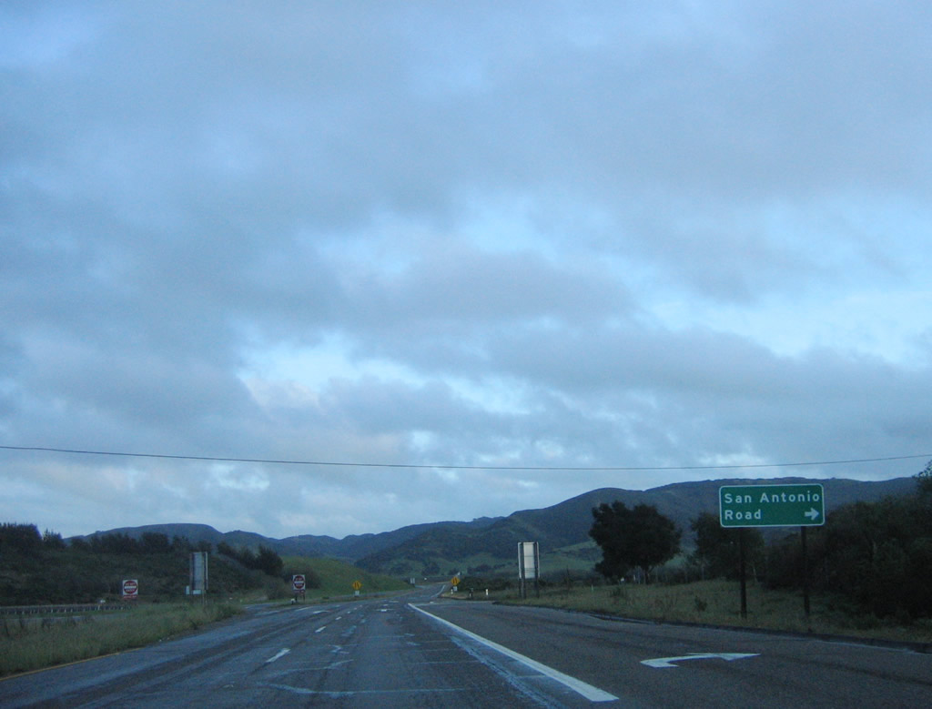
San Antonio Road runs west to SR 1 and Casmalia.
03/20/06
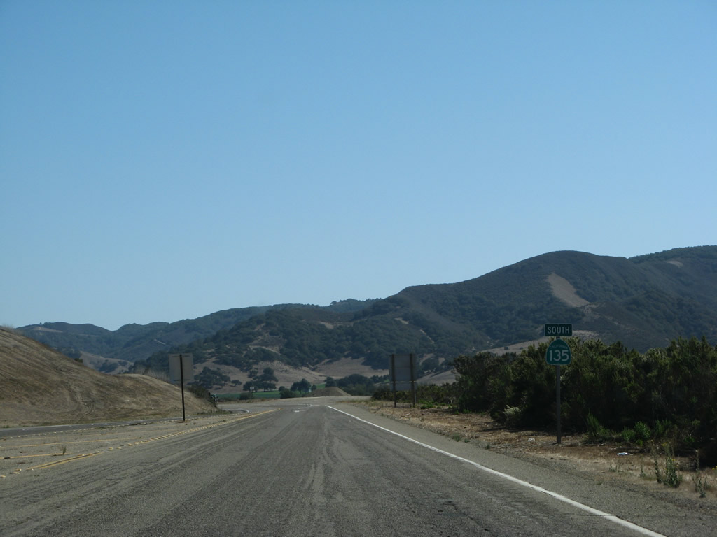
SR 135 reduces to two lanes and turns east beyond San Antonio Road to Los Alamos.
09/30/07
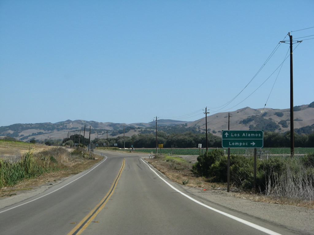
The next intersection along California 135 south is with Harris Grade Road (Old California 1) south to Lompoc. Continue straight ahead to Los Alamos.
09/30/07
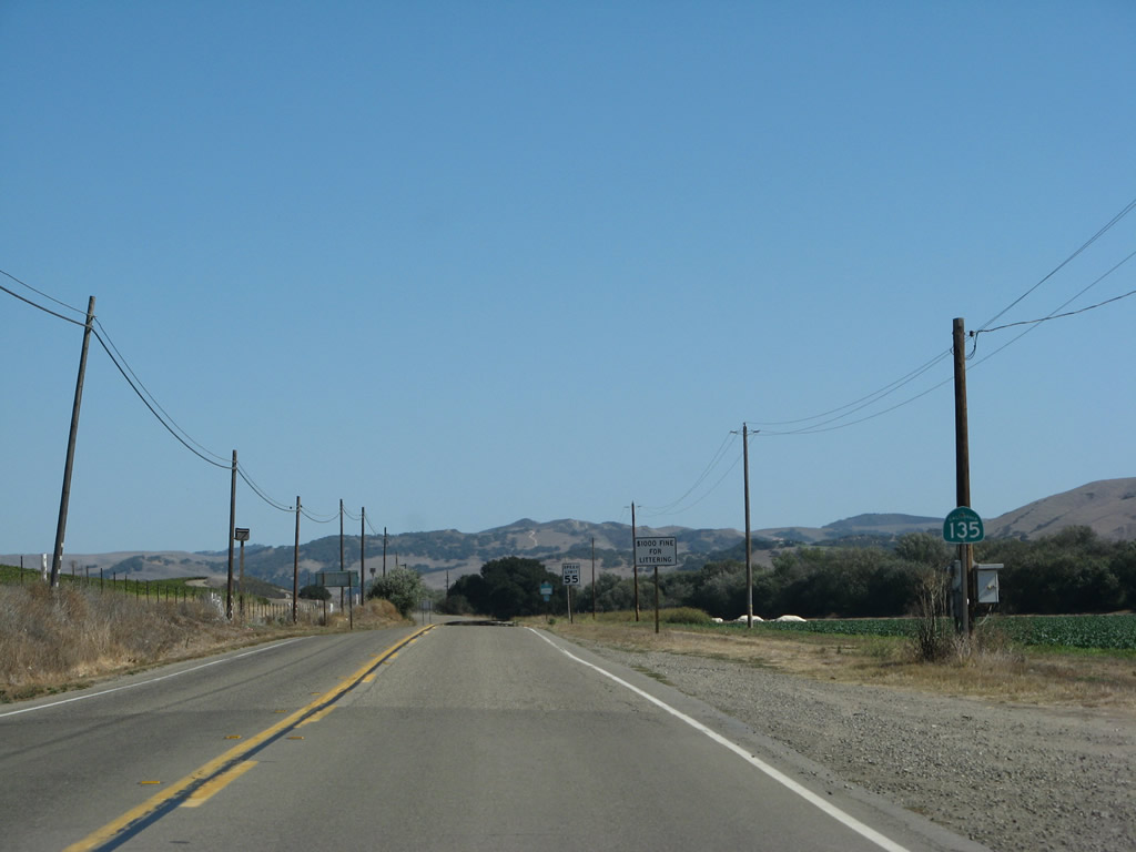
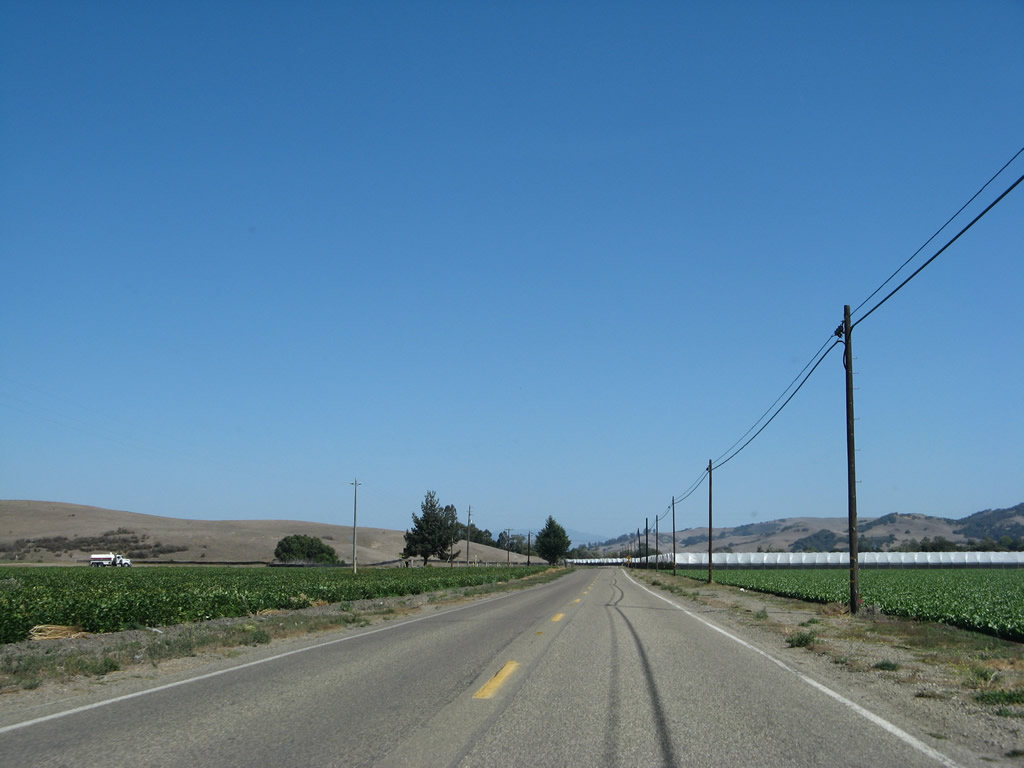
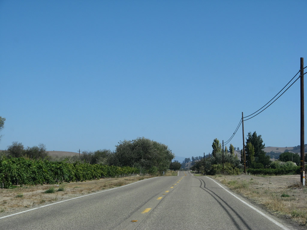
Another California 135 south reassurance shield is posted after the intersection with Harris Grade Road (Old California 1). Much of the remainder of the route traverses farmers fields and ranches.
09/30/07
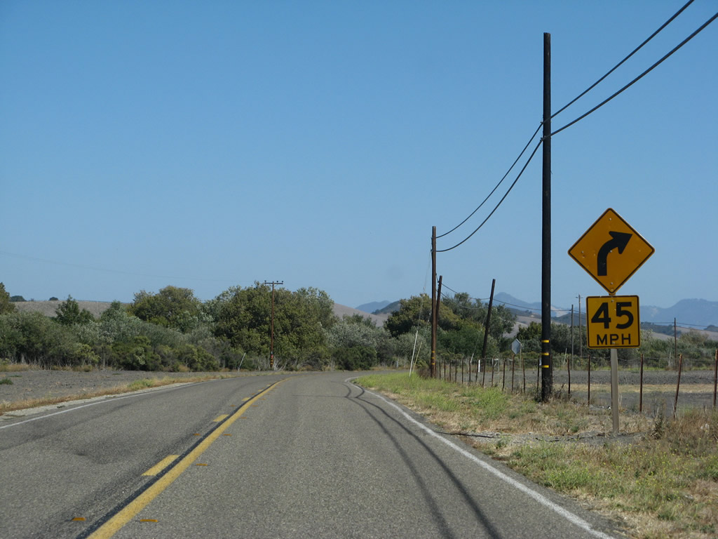
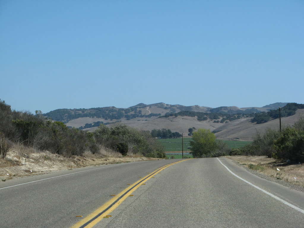
California 135 continues east through agricultural areas en route toward Los Alamos.
09/30/07
California 135 continues east through agricultural areas en route toward Los Alamos, crossing the San Antonio Creek along the way.
09/30/07
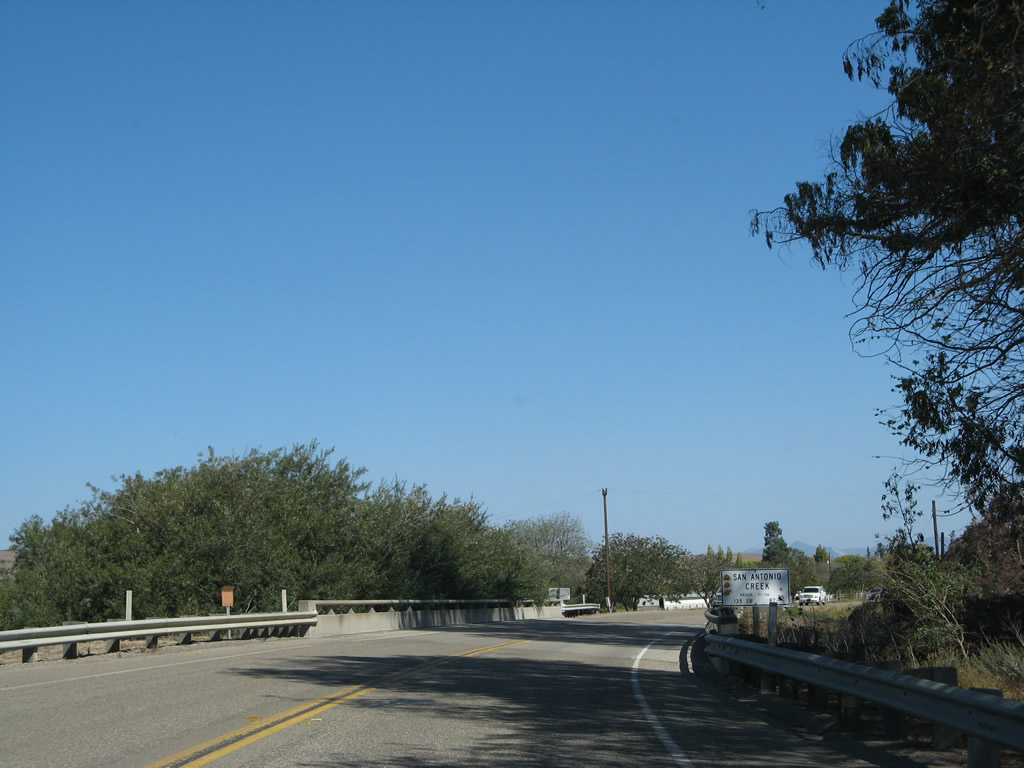
California 135 crosses San Antonio Creek.
09/30/07
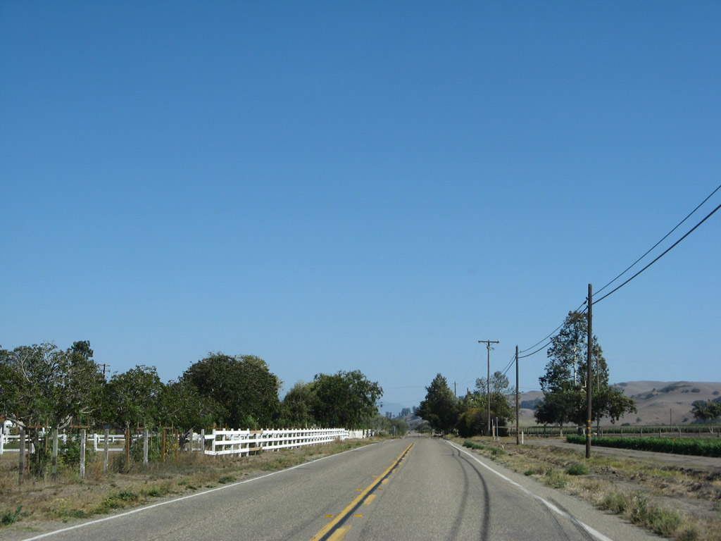
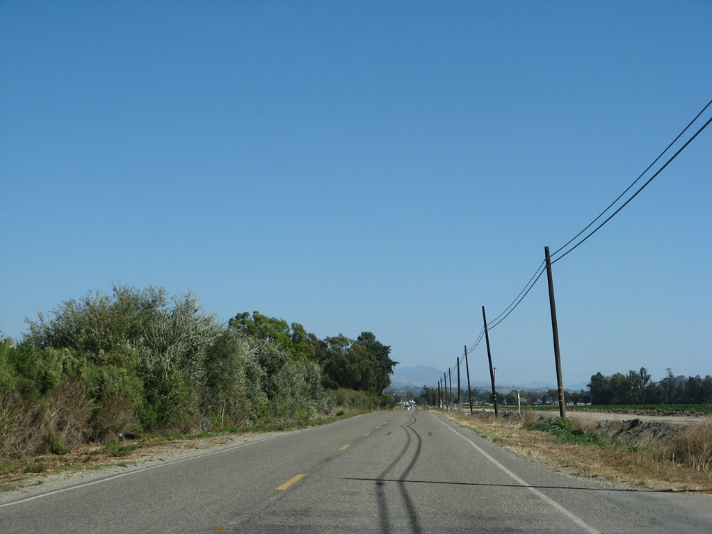
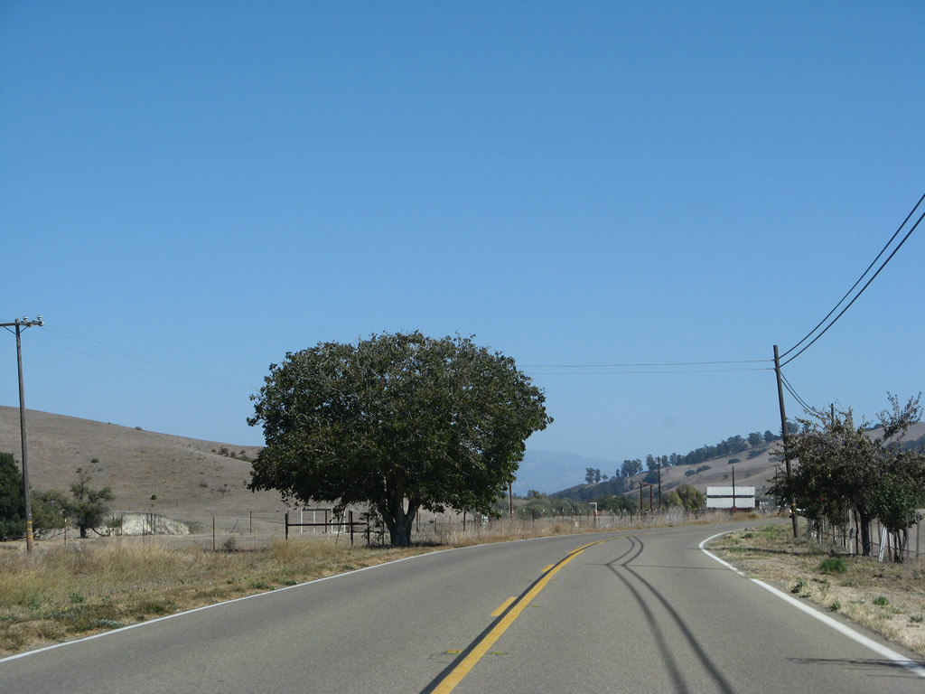
California 135 traverses additional agricultural land south of San Antonio Creek.
09/30/07
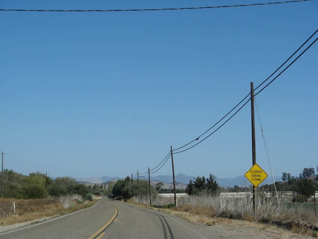
Flooding during storm events can occur along this segment of California 135.
09/30/07
After turning southeast at this point, California 135 will lead into Los Alamos.
09/30/07
It is a straight shot southeast along California 135 to Los Alamos.
09/30/07
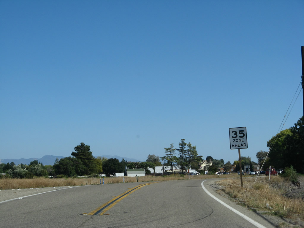
The speed limit will reduce to 35 miles per hour upon entering the unincorporated community of Los Alamos (population 1,372 as of the 2000 Census). At this point, California 135 meets Bell Street north. South of here, California 135 becomes known as Bell Street, which is the old alignment of U.S. 101 through Los Alamos prior to the completion of the modern freeway bypass. California 135/Bell Street will serve the community center.
09/30/07
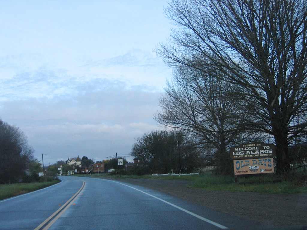
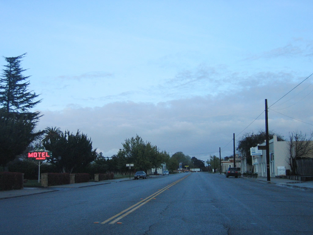
A welcome sign for the community of Los Alamos.
03/20/06
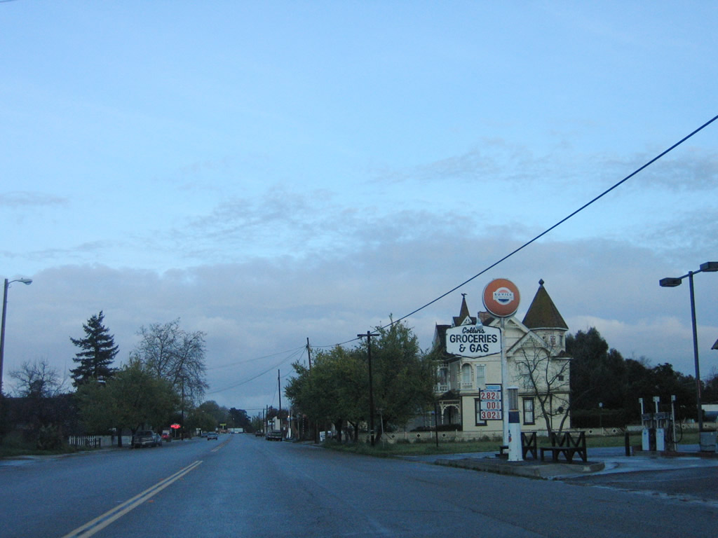
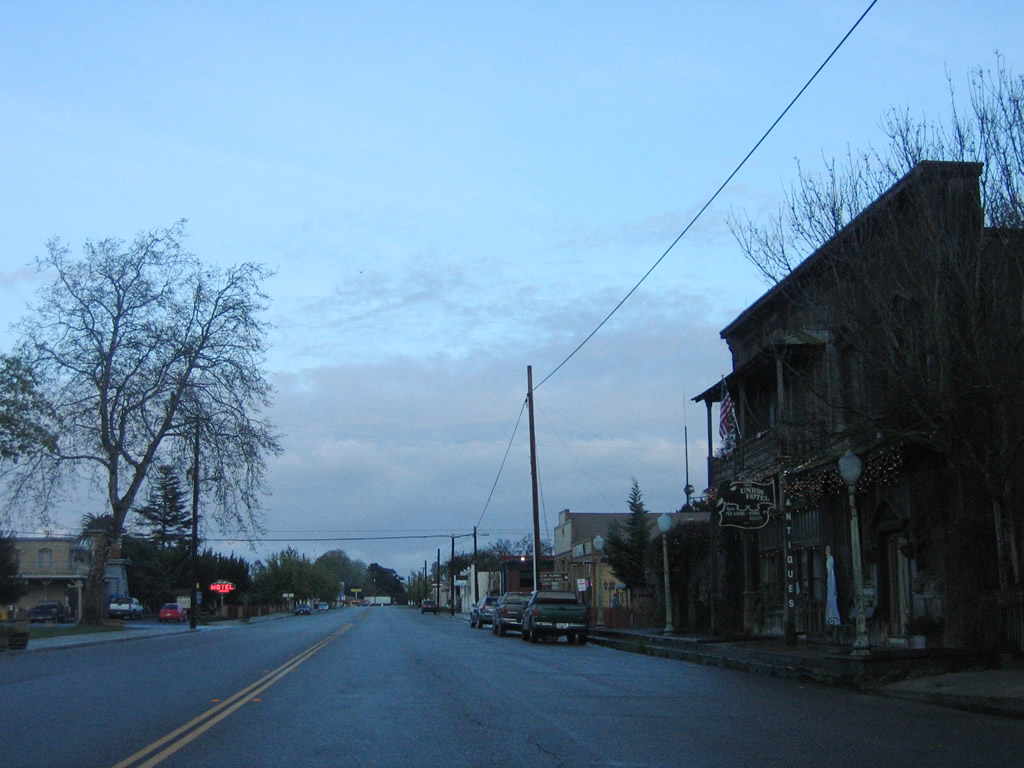
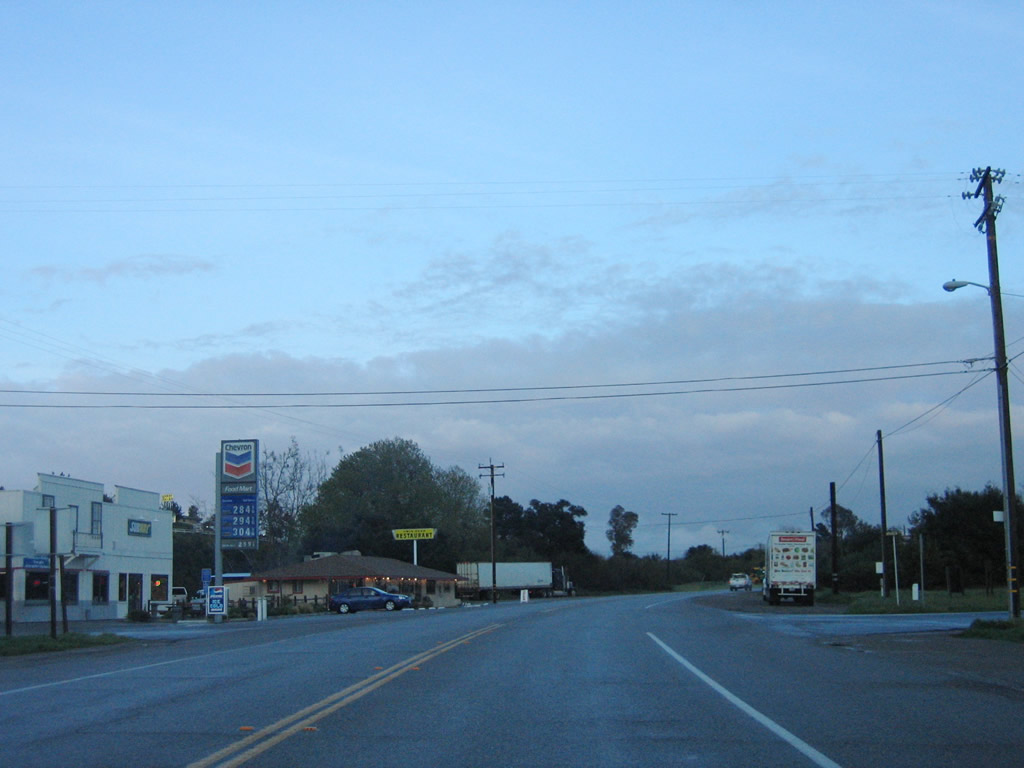
California 135 runs across across Los Alamos along Bell Street.
03/20/06
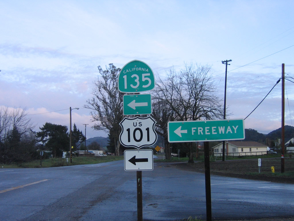
California 135 shifts from Bell Street onto Main Street for the connection to U.S. 101.
03/20/06
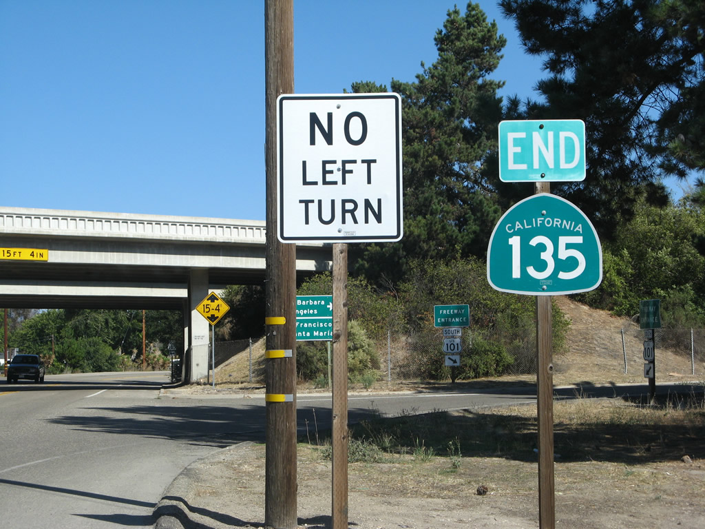
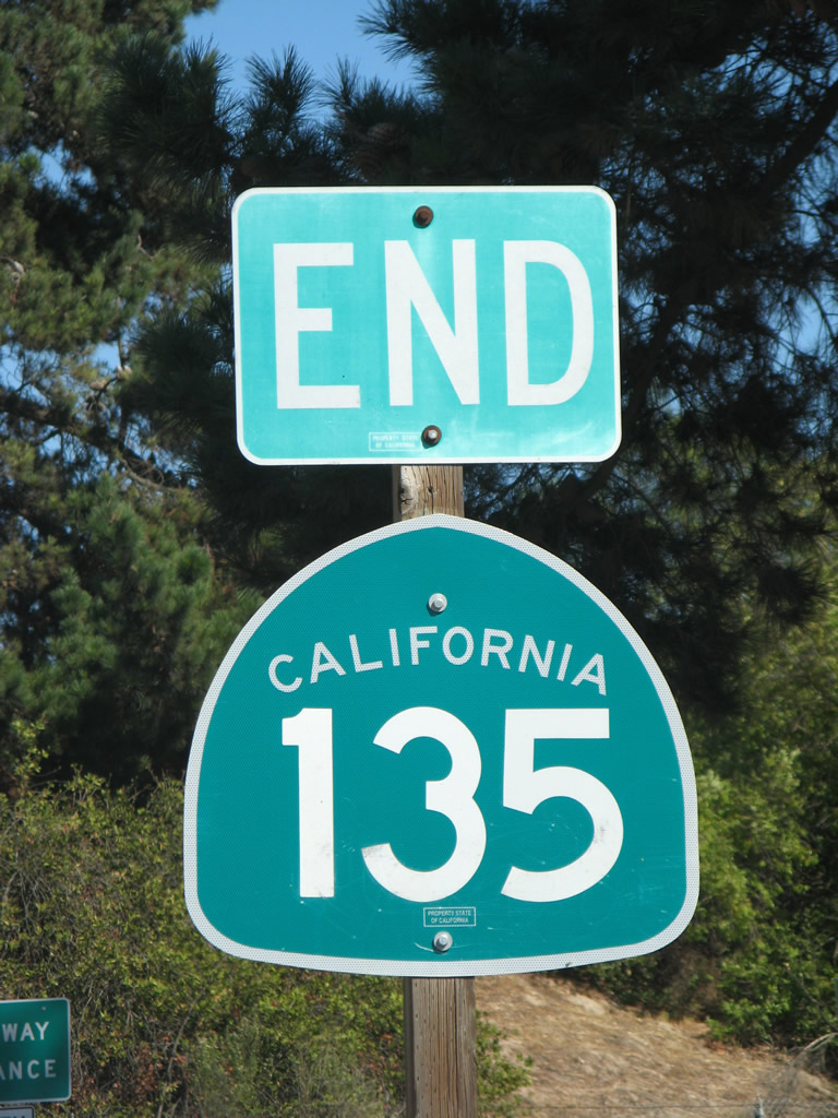
The SR 135 end shield preceding the entrance the interchange with U.S. 101 was removed by 2011.
09/30/07
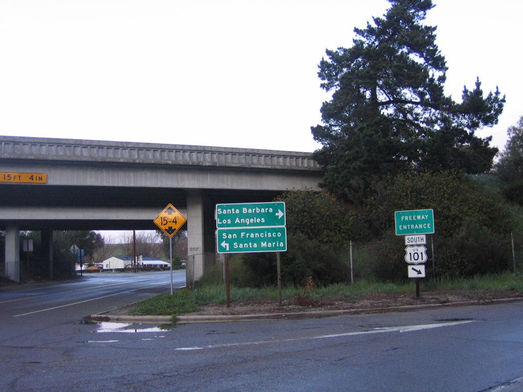
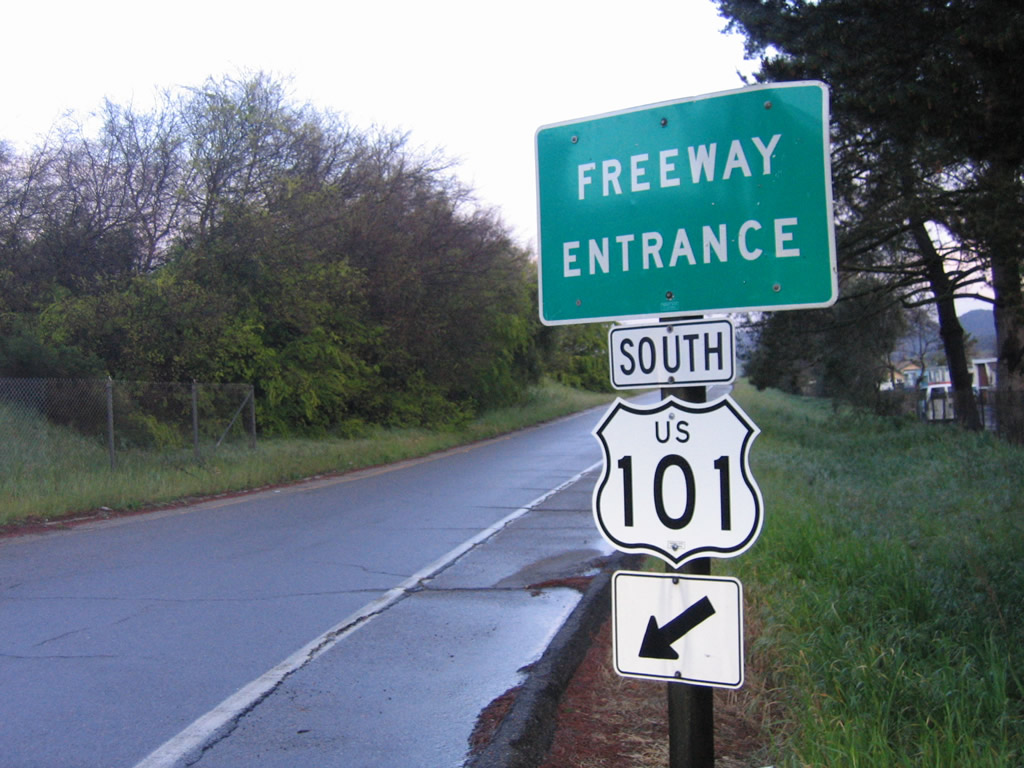
The entrance ramp linking the south end of SR 135 with U.S. 101 north to Santa Maria, San Luis Obispo, Salinas, San Jose, and San Francisco departs from a frontage road extending north from Main Street.
09/30/07
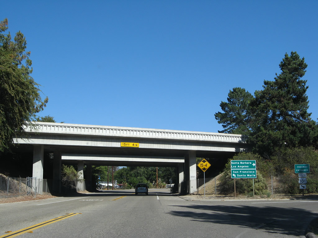
An entrance ramp joins SR 135 (Main Street) east with U.S. 101 south to Santa Barbara, Ventura and Los Angeles directly.
03/20/06
Photo Credits:
- Andy Field: 03/20/06, 09/30/07
Connect with:
Page Updated Monday May 04, 2009.