
State Route 151
California 151 connects Interstate 5 with the Shasta Dam, which holds back the Sacramento River to form Shasta Lake. On a clear day, motorists may be treated to views of Mount Shasta as well as the lake.
Begin Eastbound California 151 leaving the Shasta Dam parking lot.
01/20/03
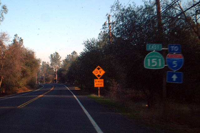
Eastbound California 151 immediately after its junction with Shasta County Route A-18, just prior to meeting Interstate 5 and its eastern terminus.
01/20/03
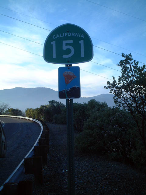
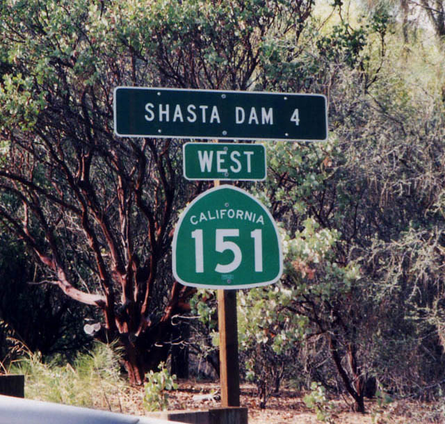
California 151 begins its northwesterly journey at its junction with Interstate 5 just north of Redding. The highway is signed east-west, even though it turns north to reach the dam.
01/20/03
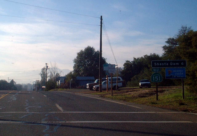
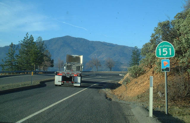
California 151 is a short route that connects Interstate 5 with Shasta Lake (artificial lake created by the damming of the Sacramento River) north of Redding. This picture shows westbound California 151 after Lake Boulevard, four miles east of the dam. Most of California 151 from this spot rises in elevation as it approaches the dam itself.
October 2001
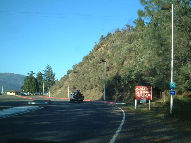
Westbound California 151 approaching a parking area with a view of Shasta Lake. The semi-truck was turning into the parking area to the left of the highway.
01/20/03
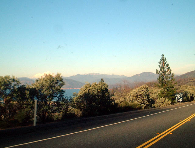
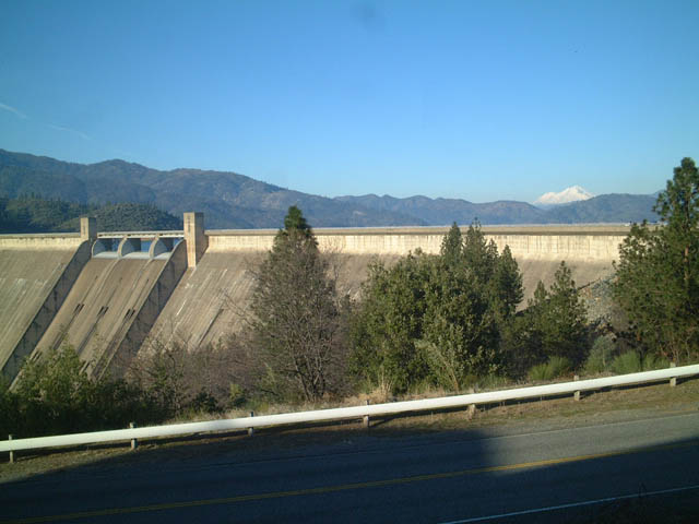
California 151 provides teasing views of the lake, dam, and mountains as it passes over a ridge and then descends to the parking area near the dam.
01/20/03
Although unsigned, California 151 comes to its end at the Shasta Lake dam visitors center parking lot.
01/20/03
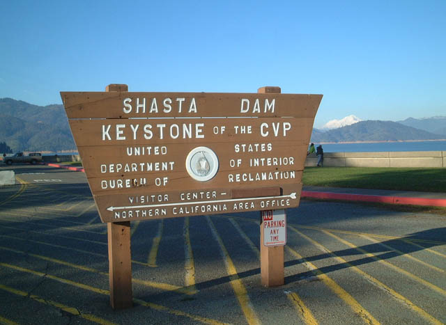
This sign, located at the parking lot, directs visitors to the information center, and the magnificent background of the lake and mountains add to the scenic beauty of this spot.
01/20/03
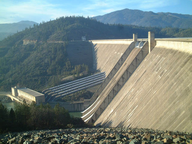
This view of Shasta Lake is afforded from the parking lot near the dam visitors center.
01/20/03
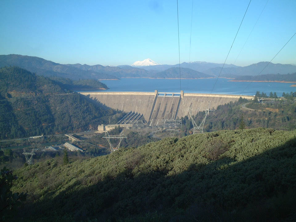
Shasta Dam holds back the Sacramento River to form Shasta Lake, a source of water for agricultural irrigation and urban centers. The water is also used to produce hydroelectricity as it cascades through power-producing turbines back into the river.
01/20/03
With its white peak appearing along the horizon, Mount Shasta, one of two volcanoes in northern California, rises in the distance.
Photo Credits:
- Andy Field: 01/20/03
- Dominic Ielati: October 2001
Connect with:
Page Updated Sunday April 27, 2003.