
State Route 158
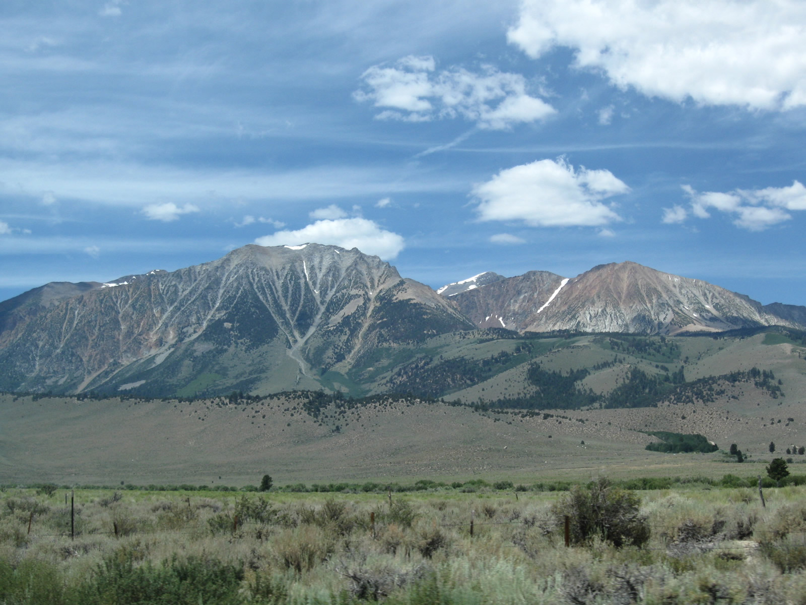
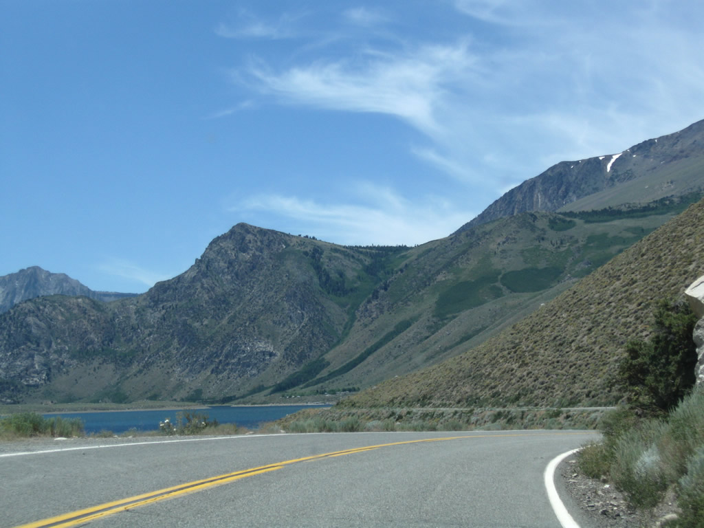
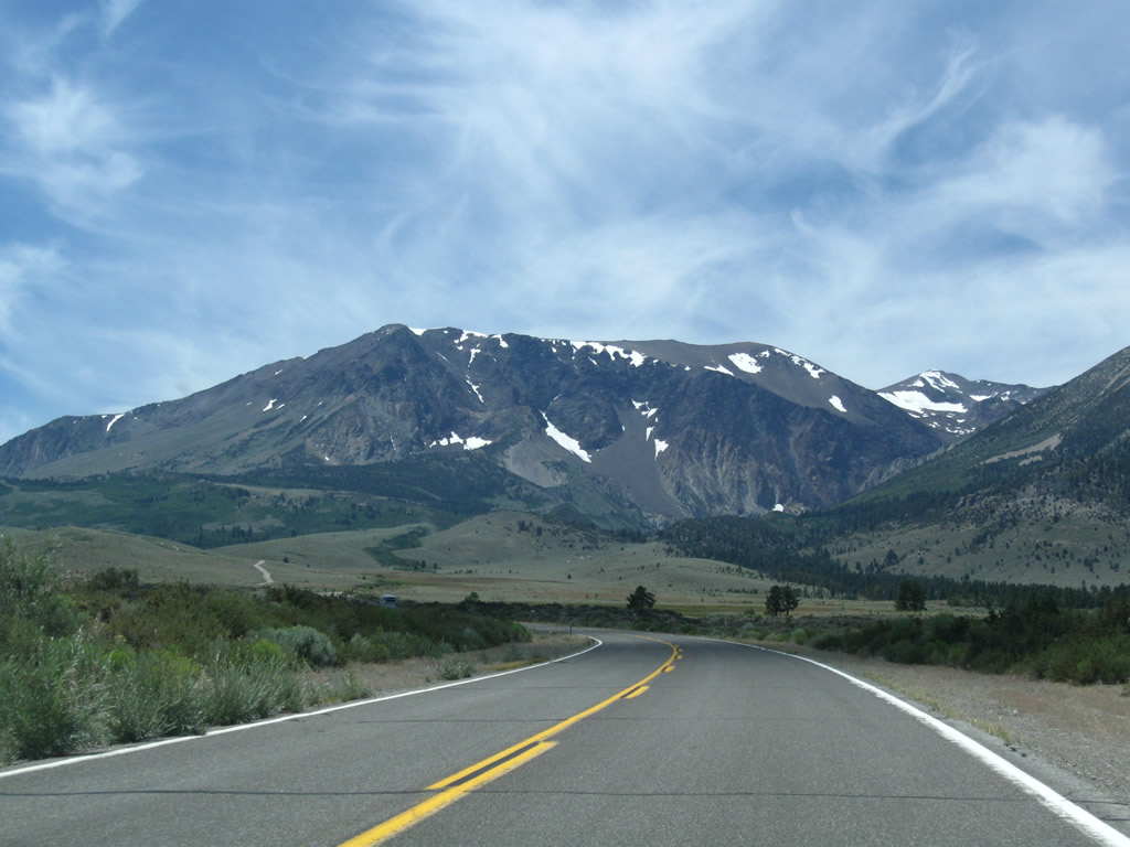
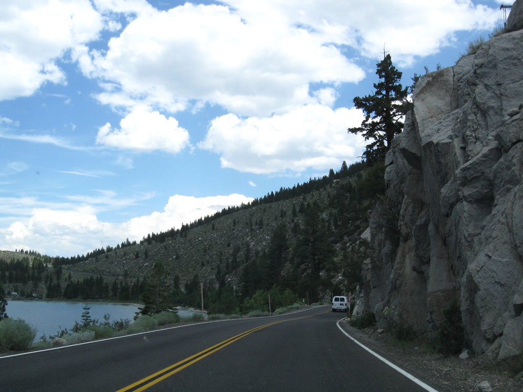
The distant Sierra Nevada peaks such as Mount Lewis, Mount Gibbs, and Mount Dana dominate the view along California State Route 158 southwest from U.S. 395. Part of the spine of the Sierra Nevada, these mountains exceed 12,000 feet in elevation. - 07/25/2009
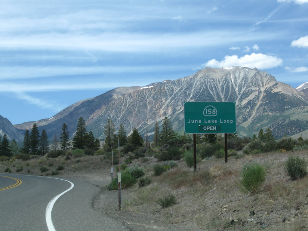
California State Route 158 is the scenic June Lake Loop, connecting at both ends with U.S. 395 in the Eastern Sierra near Mammoth Lakes and Mono Lake. SR 158 loops through a valley carved by Reversed Creek and Rush Creek. The creeks connect June Lake, Gull Lake, Silver Lake, and Grant Lake.
Northbound SR 158 (June Lake Loop) at U.S. 395/SR 120. U.S. 395/SR 120 overlap north to Lee Vining Turn. U.S. 395 continues from there to Mono Lake and Bridgeport. Beyond their nearby separation, U.S. 395 leads south to Mammoth Lakes and Bishop while SR 120 travels east to U.S. 6 in Benton.
07/25/09
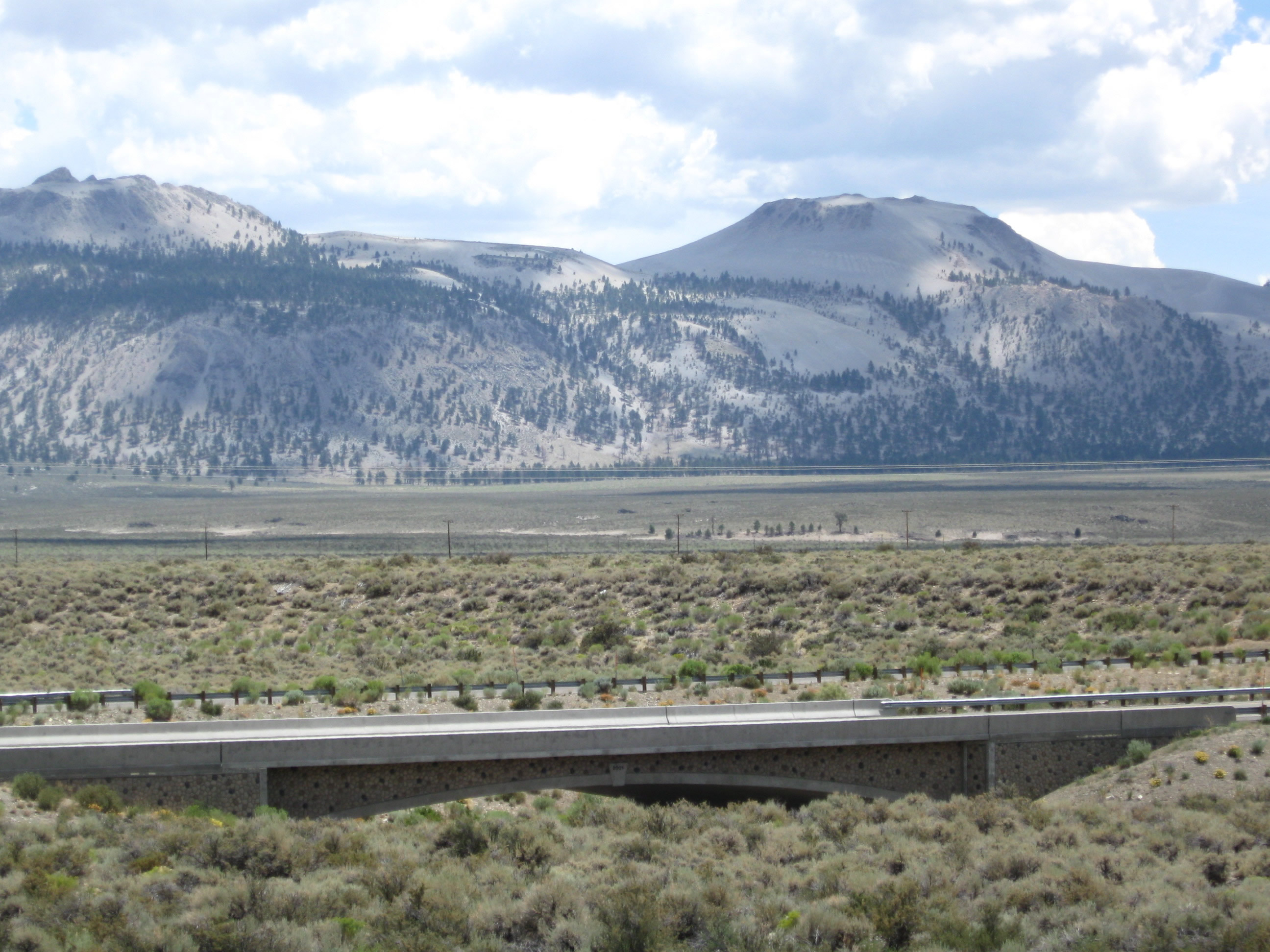
A nearby bridge visible from SR 158 carries southbound U.S. 395 traffic over Rush Creek, a major tributary of Mono Lake that flows northeast from Silver Lake through Grant Lake into Pumice Valley en route to Mono Lake. This arch bridge was built in 2001 per the date stamp in the center of the bridge.
07/25/09
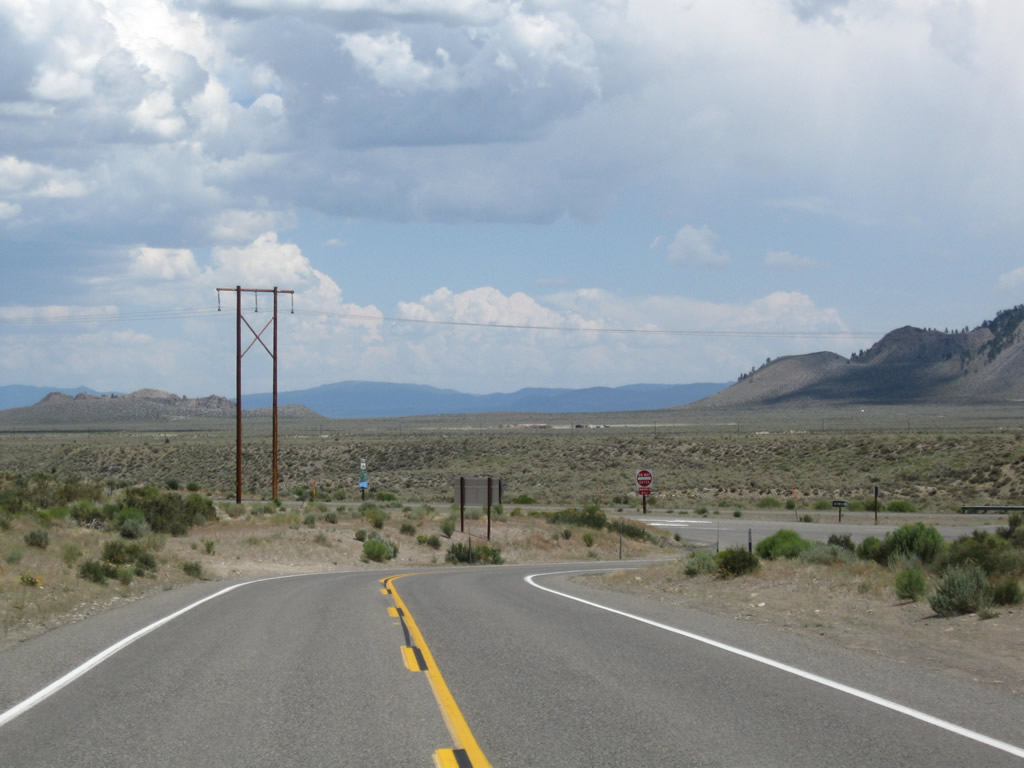
SR 158 (June Lake Loop) intersects U.S. 395 at a stop sign.
07/25/09
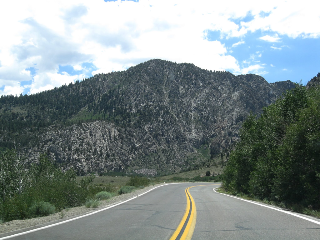
SR 158 commences southwest along June Lake Loop from U.S. 395. The north end of SR 158 is referenced as the June Lake Loop North intersection by Caltrans.
07/25/09
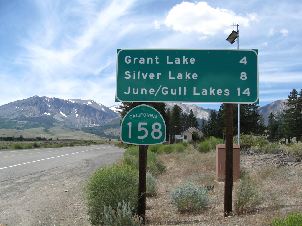
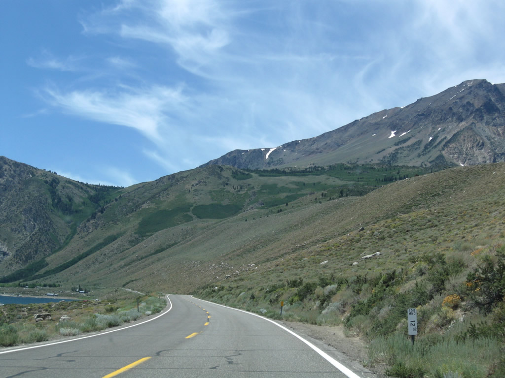
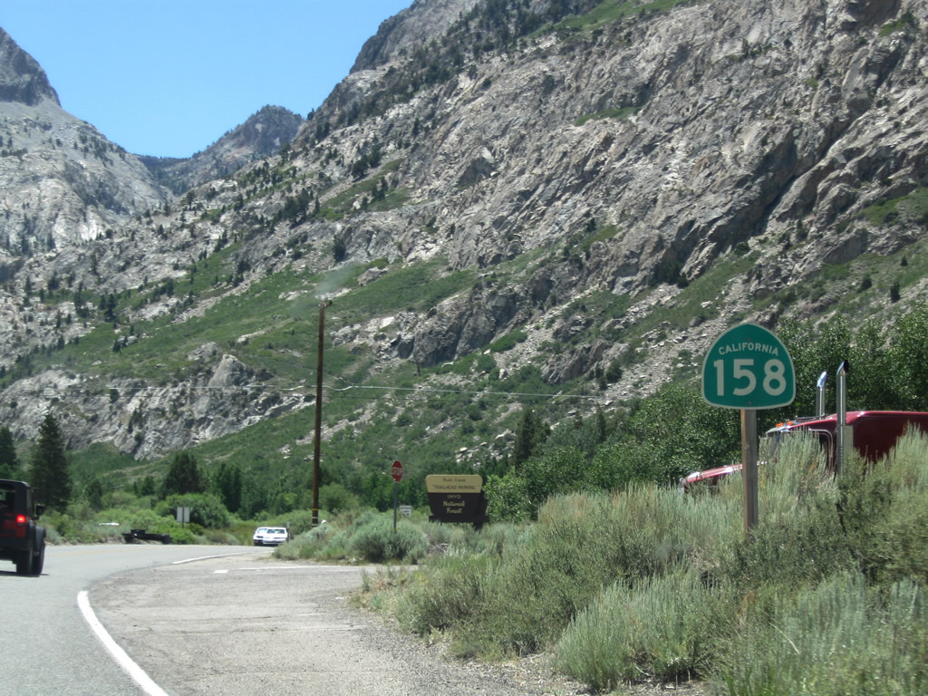
The first reassurance shield for SR 158 south is posted four miles from Grant Lake and eight miles from Silver Lake. The June Lake Loop is a popular spot for fishing, camping, hiking, and other outdoor recreational opportunities. Each lake offers varying recreation, include fishing, swimming, boating, picnicking, camping, and hiking.
07/25/09
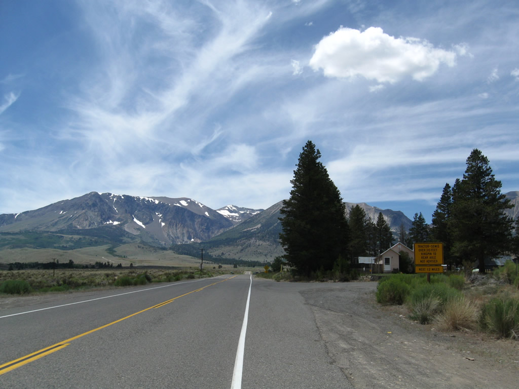
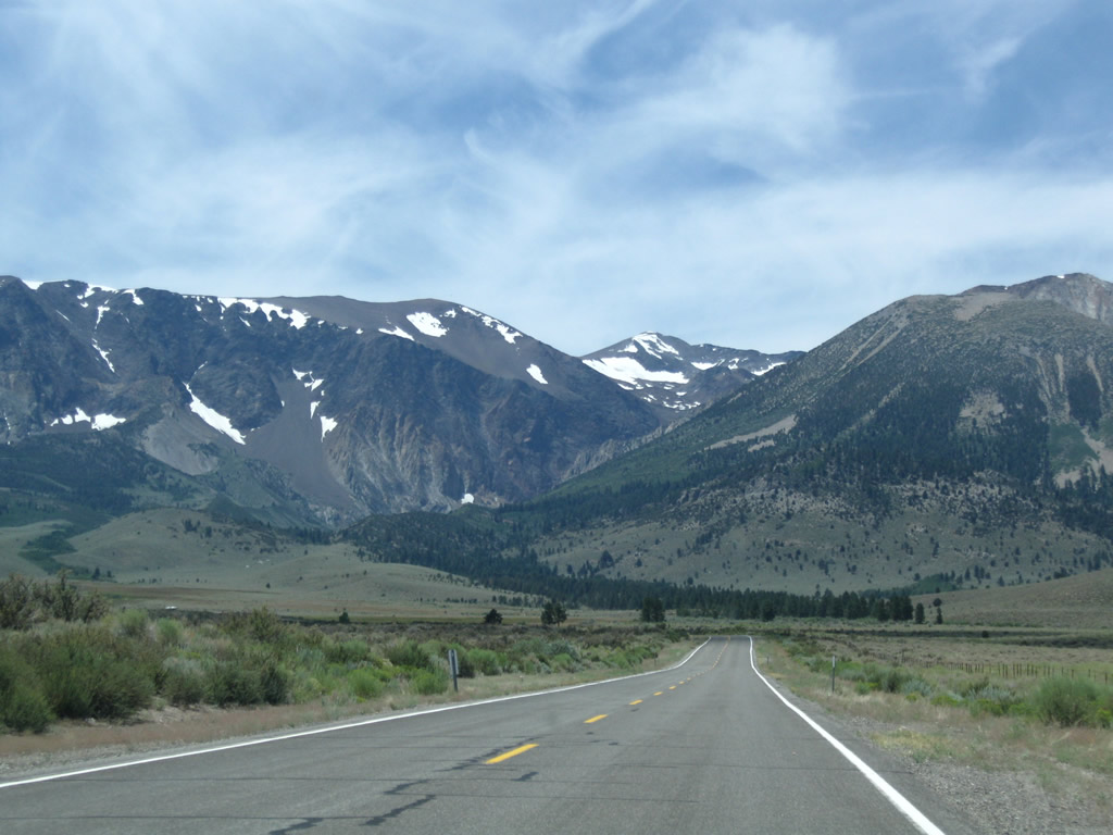
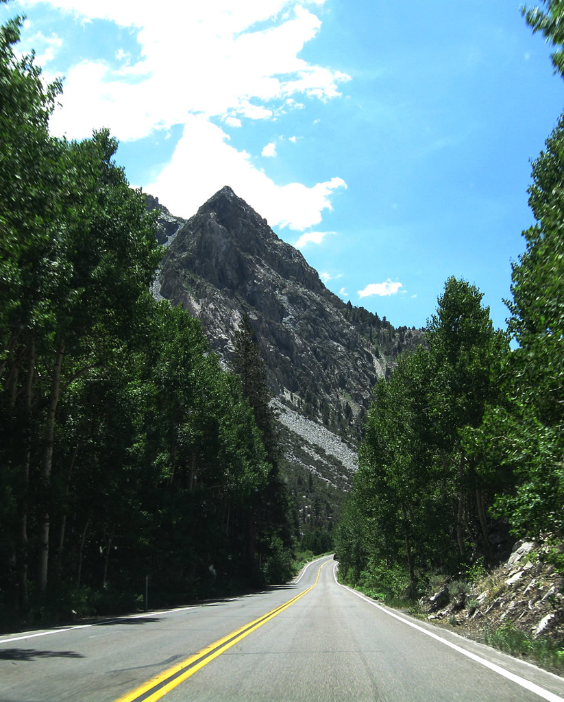
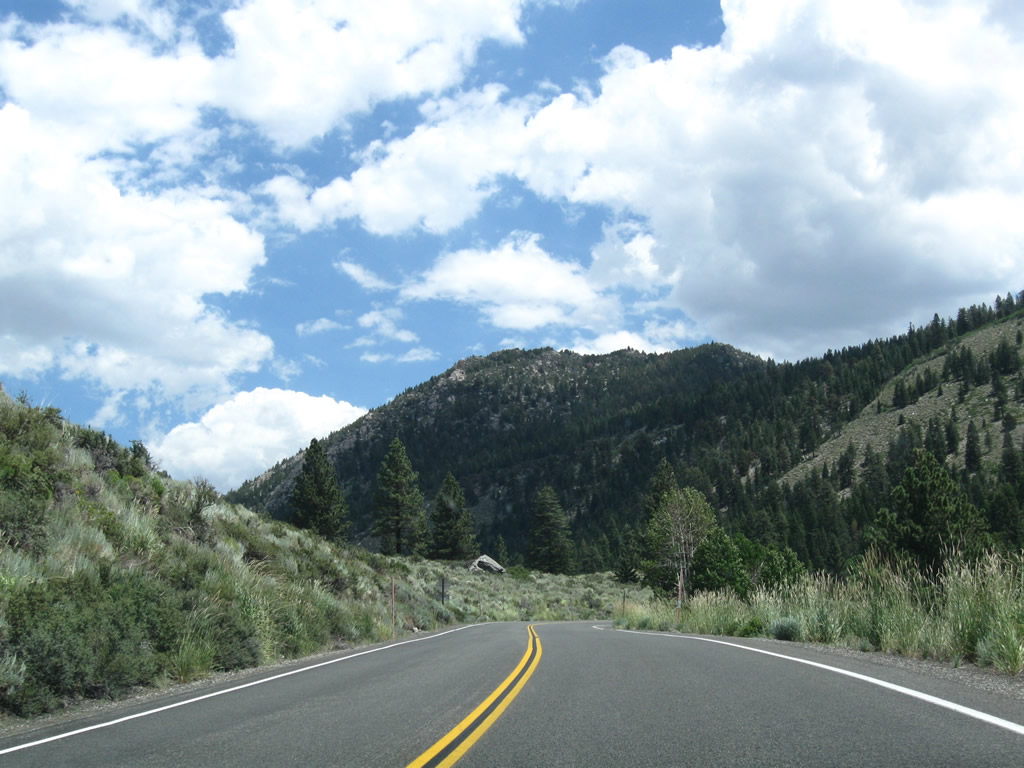
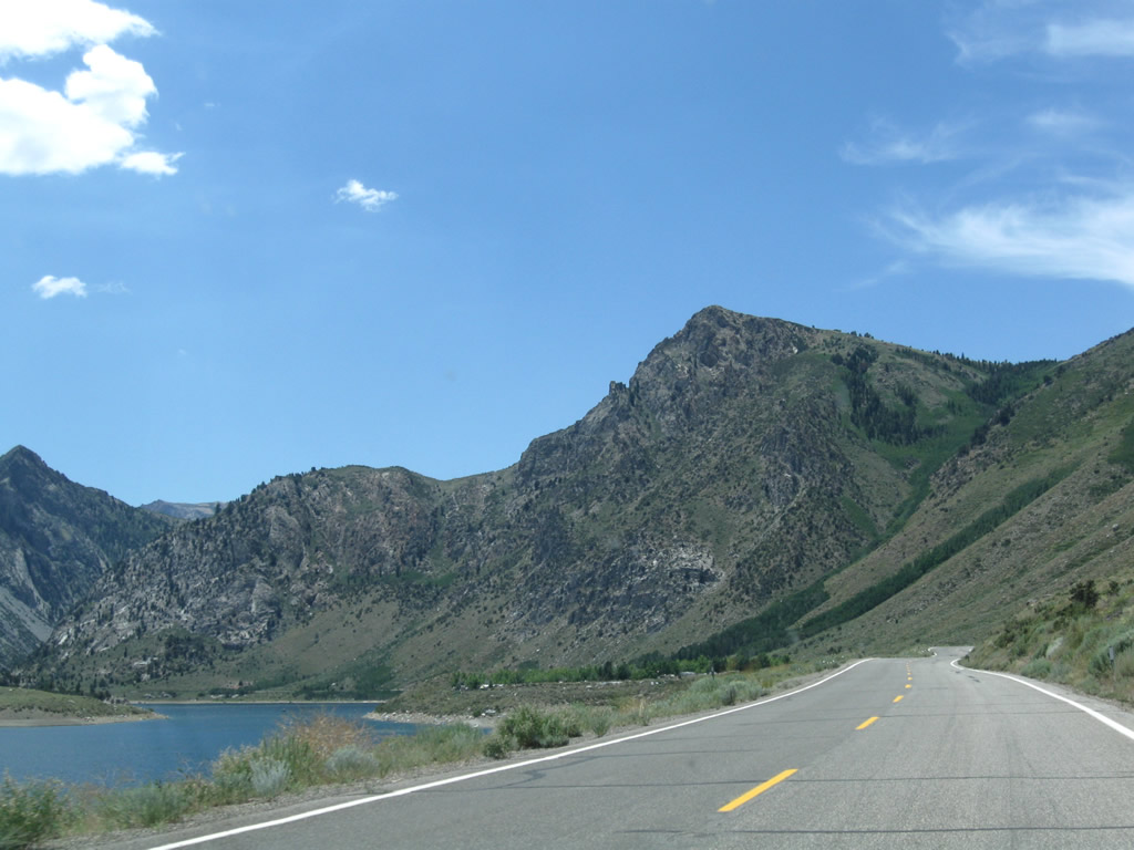
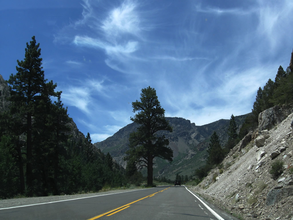
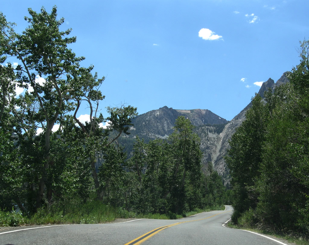
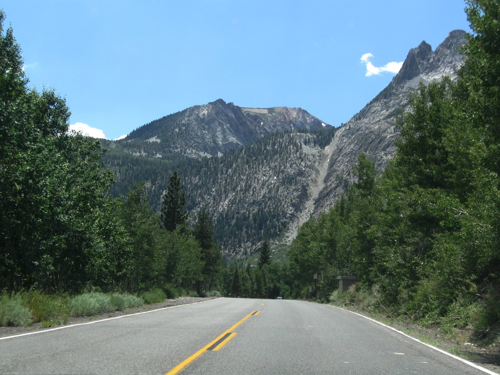
As the June Lake Loop proceeds south, the majestic peaks of the Sierra Nevada rise in the distance. Trucks are not advised on this route since there are several curves along the route, and California 158 is not really a good alternative for through traffic.
07/25/09
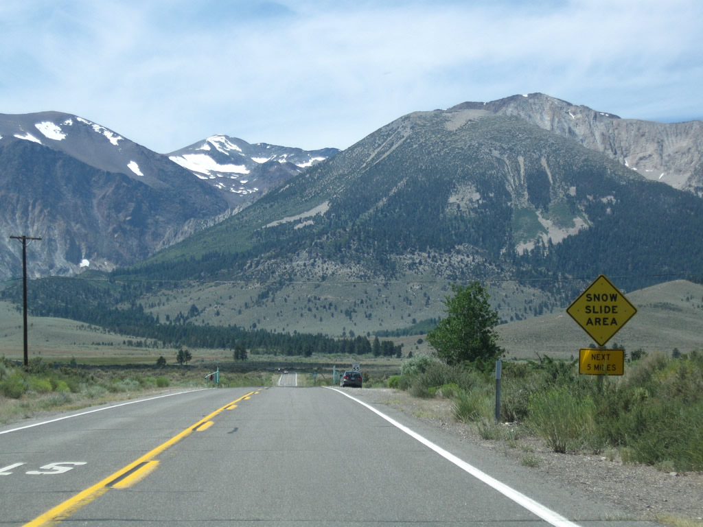
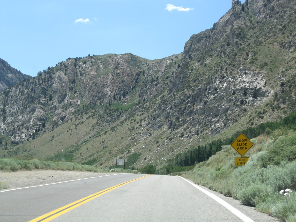
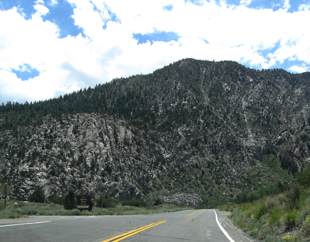
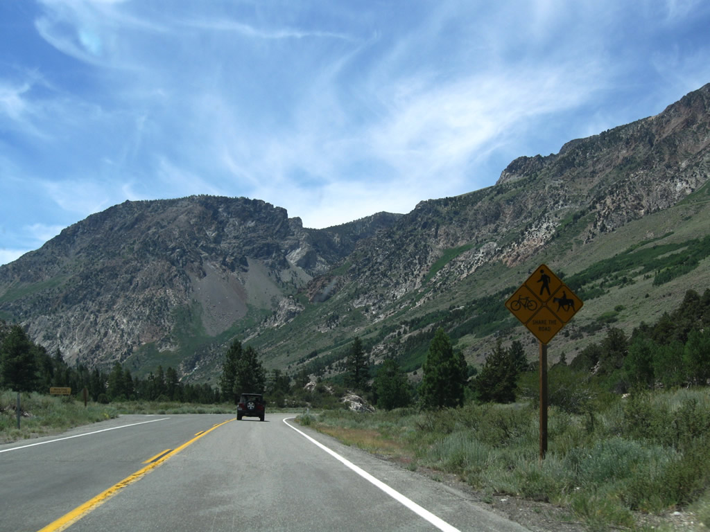
California 158 proceeds southwest toward Grant Lake. For the next five miles, snow slides can occur during winter months. Ahead is a gate that is used to close the highway during the winter.
07/25/09
Mount Wood (el. 12,657), Parker Peak (12,850 feet), Koip Peak (12,962 feet), and Kuna Peak (el. 13,002 feet).
07/25/09
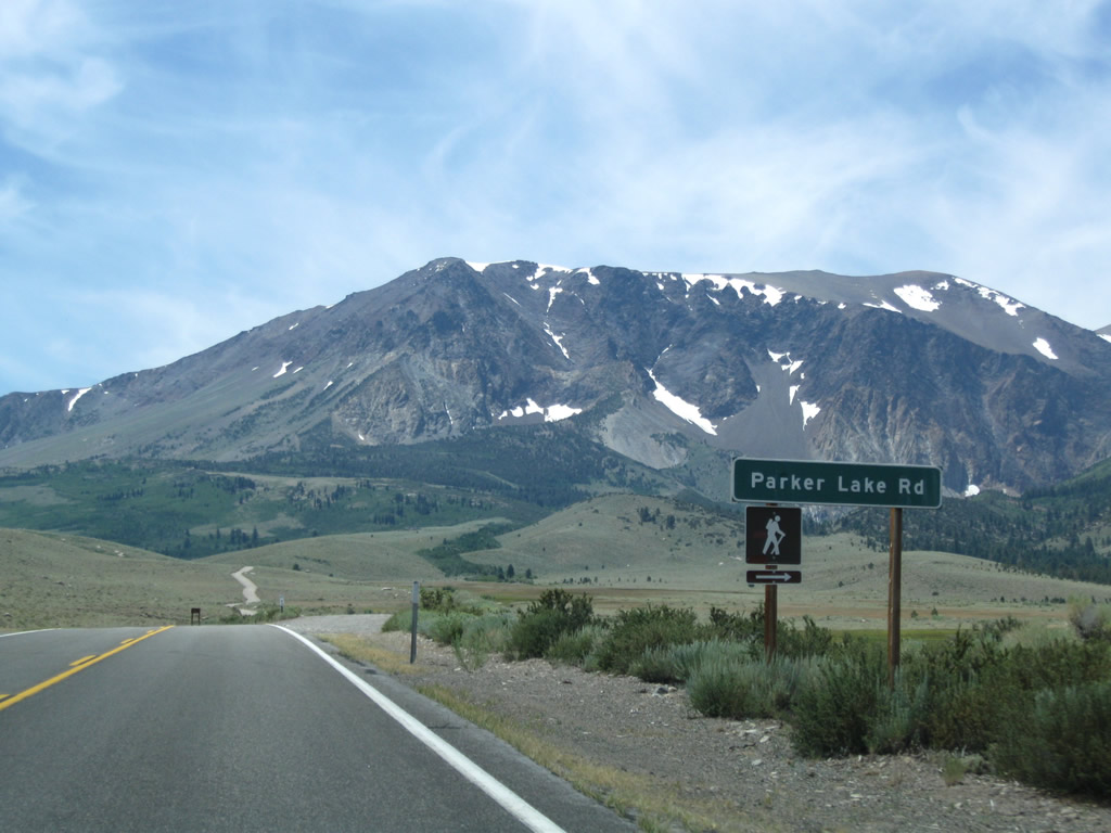
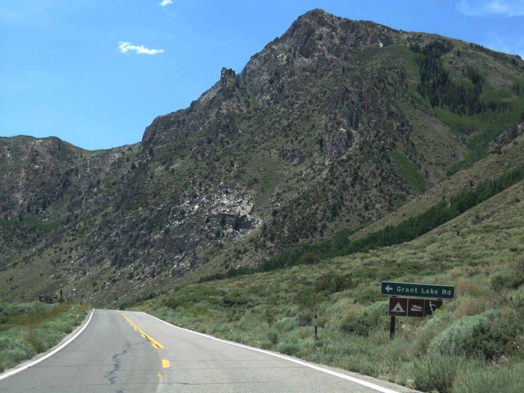
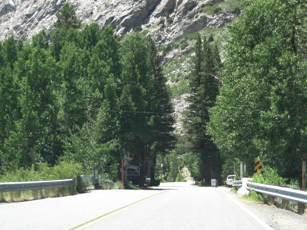
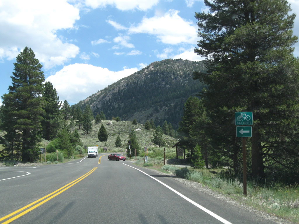
Parker Lake Road branches southwest from SR 158 (June Lake Loop) to a trailhead for hiking to Parker Lake in Inyo National Forest.
07/25/09
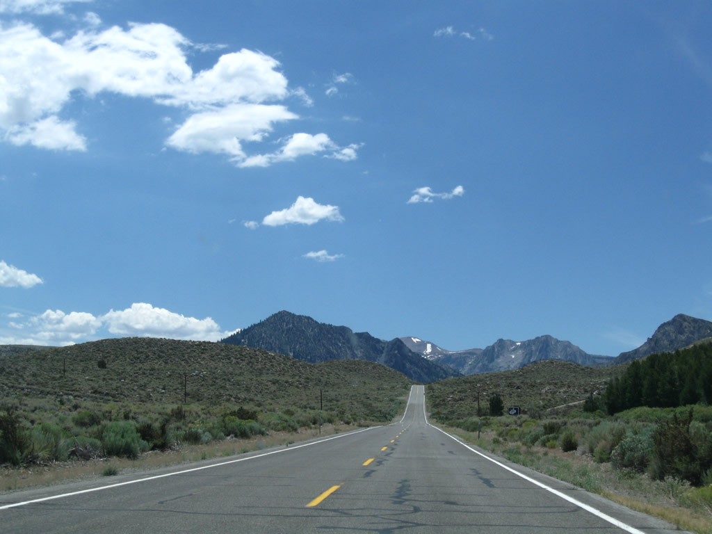
Gaining 150 feet in elevation to over 7,200 feet above sea level, June Lake Loop runs south from Parker Lake Road to Grant Lake.
07/25/09
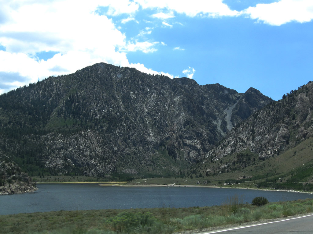
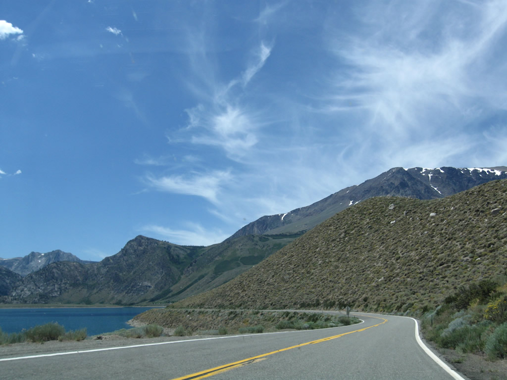
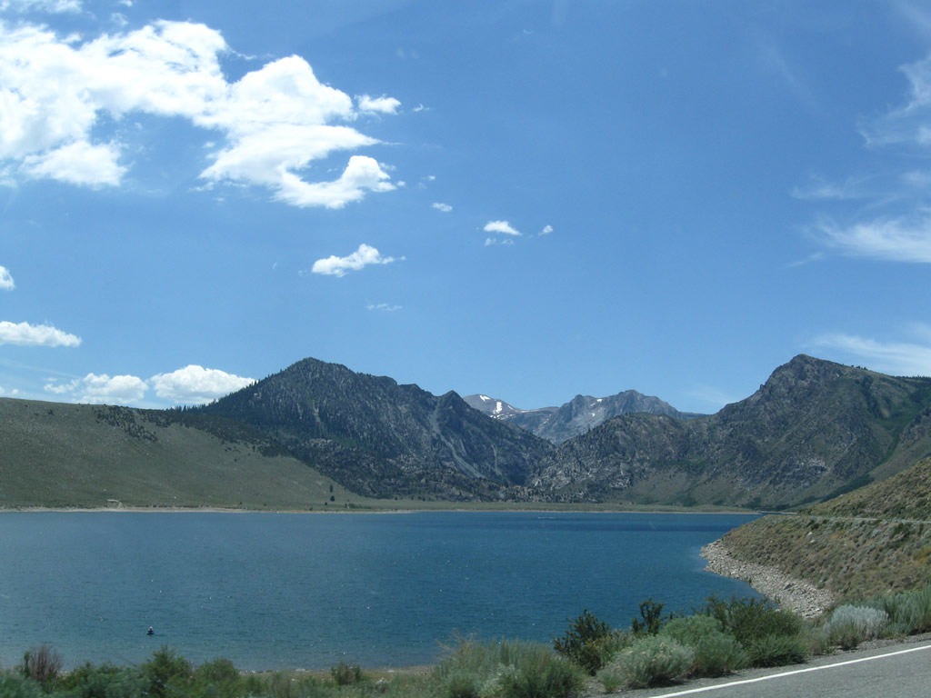
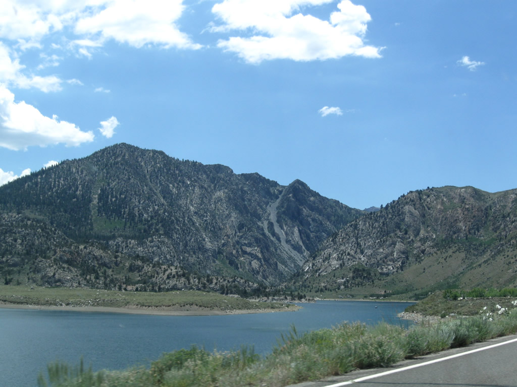
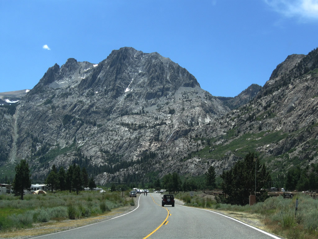
The largest of the lakes along June Lake Loop, Grant Lake is a reservoir in service to the Los Angeles Department of Water and Power. The lake levels for this reservoir vary as a result of water demands in Southern California. A tunnel carries water under Mono Craters southeast to a point along the Owens River.
07/25/09
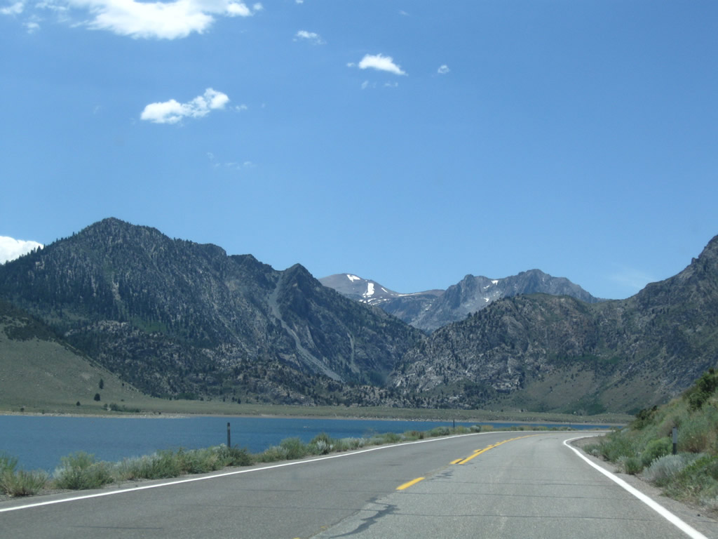
Mount Wood rises to the west of Grant Lake while SR 158 straddles the western lakeshore for 3.7 miles. As a reservoir, very little development surrounds Grant Lake.
07/25/09
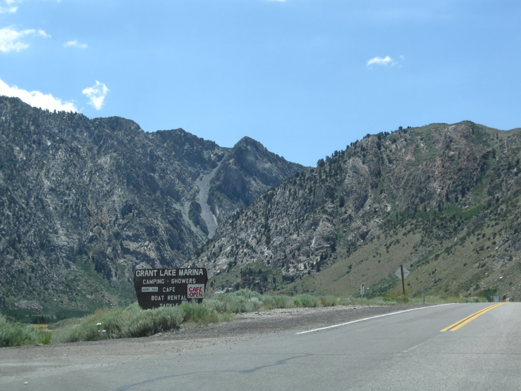
SR 158 (June Lake Loop) south at Grant Lake Road to Grant Lake Marina and campground.
07/25/09
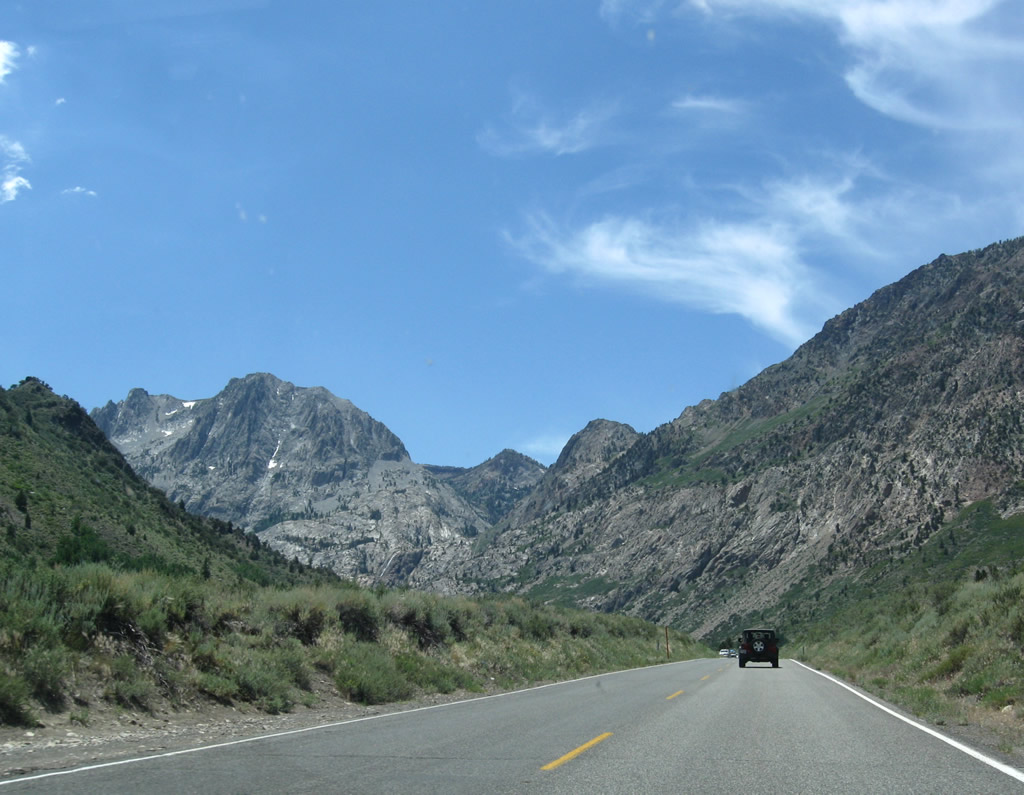
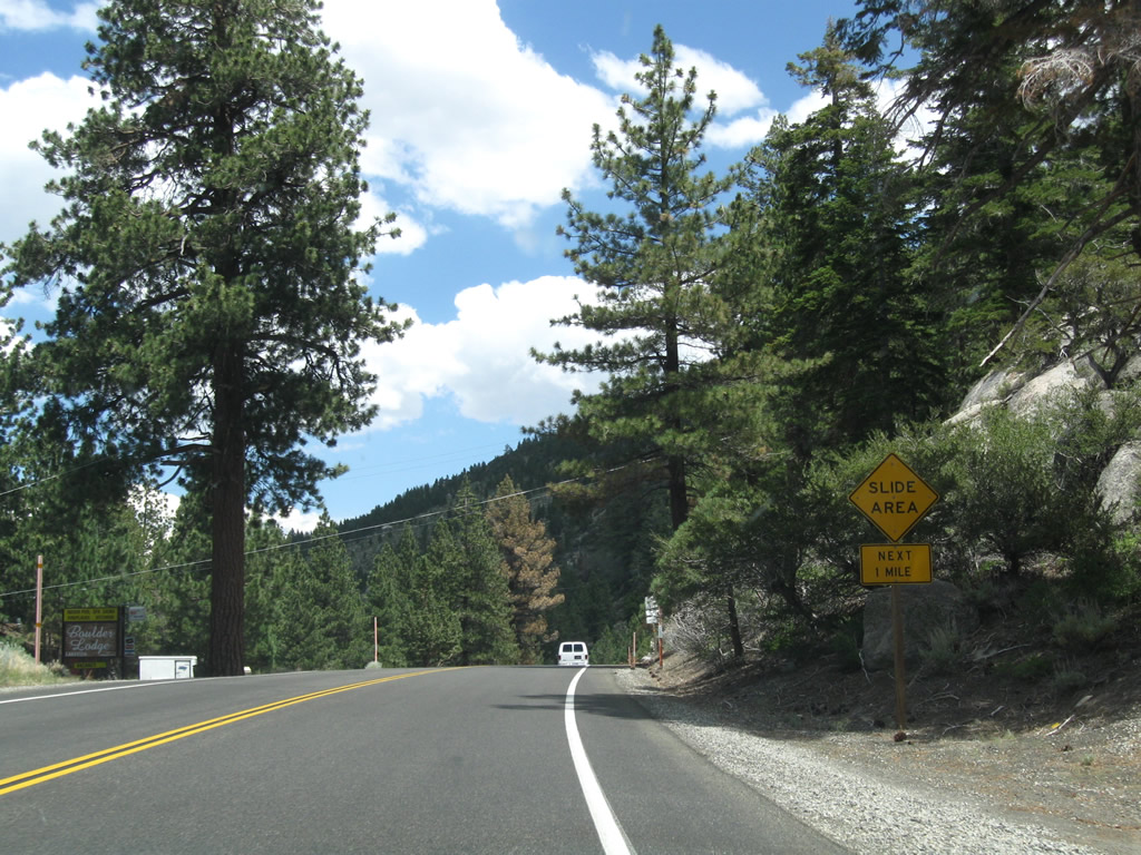
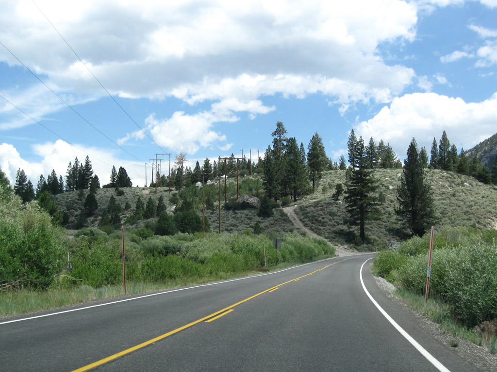
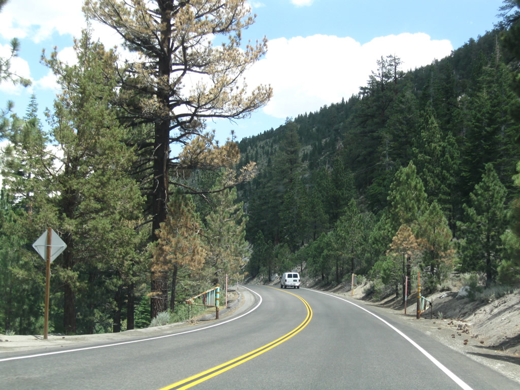
South between Mount Wood and Reversed Peak, the ensuing five miles of June Lake Loop again are susceptible to snow slides and rock slides.
07/25/09
California 158 continues around the southwestern edge of Grant Lake, then enters a small aspen grove west of Reversed Peak.
07/25/09
Preceding Rush Creek Canyon, the next left turn from California 158 south connects to the Grant Lake scenic overlook.
07/25/09
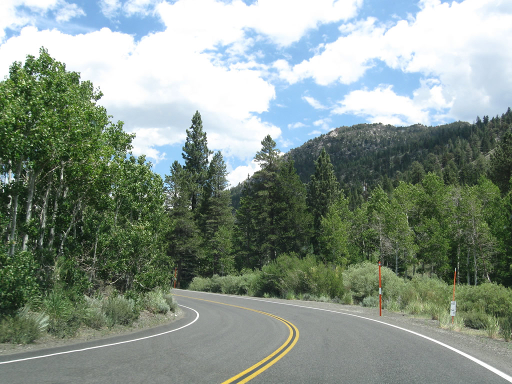
Paralleling Rush Creek, SR 158 (June Lake Loop) travels through Rush Creek Canyon between Reversed Peak (el. 9,481 feet) and Mount Wood southwest toward Silver Lake.
07/25/09
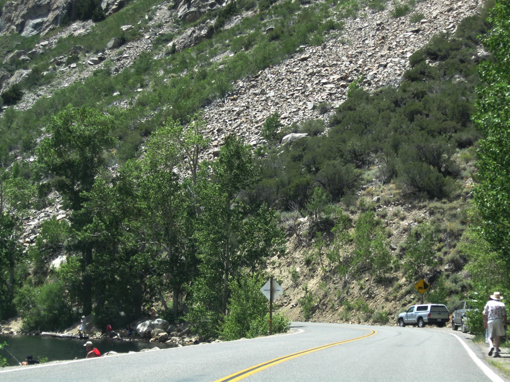
Upon leaving Rush Creek Canyon, California 158 enters a broad valley that contains Silver Lake. Cascades (Alger Creek) carry water from the high country down toward Silver Lake, which spreads east of the highway.
07/25/09
A California 158 south reassurance shield precedes the turnoff for the Rush Creek trailhead.
07/25/09
June Lake Loop passes Silver Lake Resort ahead of the narrow bridge crossing Algier Creek.
07/25/09
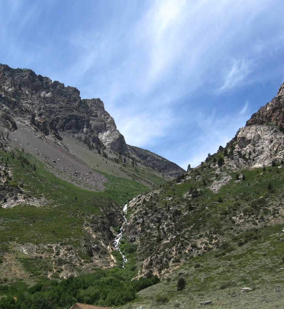
Horsetail Falls carries Rush Creek down from Gem Lake and Agnew Lake to a point just south of Silver Lake. California 158 makes a gradual turn to the southeast past the base of Carson Peak (el. 10,909 feet).
07/25/09
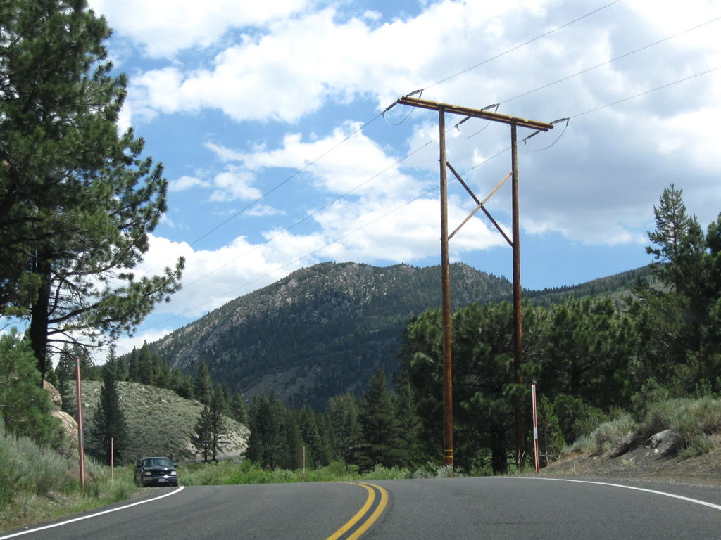
Following Reversed Creek, SR 158 heads east by a number of resorts north of Carson Peak. This creek drains June Lake and Gull Lake, connecting to Rush Creek south of Silver Lake. Power lines along the highway bring hydroelectric power from the Rush Creek Hydroelectric Project (first operation in 1916) into the power grid.
07/25/09
Northshore Drive bypasses the community of June Lake by following the north shore of both Gull Lake and June Lake. June Mountain Ski Resort is located on the south side of June Lake Loop.
07/25/09
California 158 advances east to Gull Lake between the Gull Meadows Picnic Area and Gull Lake Campground.
07/25/09
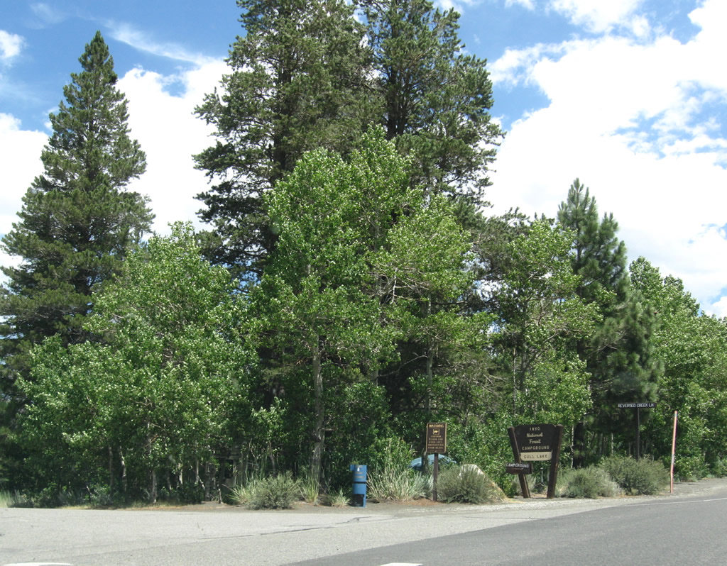
Eastbound California 158 at Reversed Creek Lane, which accesses Gull Lake Campground.
07/25/09
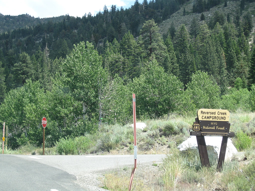
The next intersection connects California 158 to Reversed Creek Campground.
07/25/09
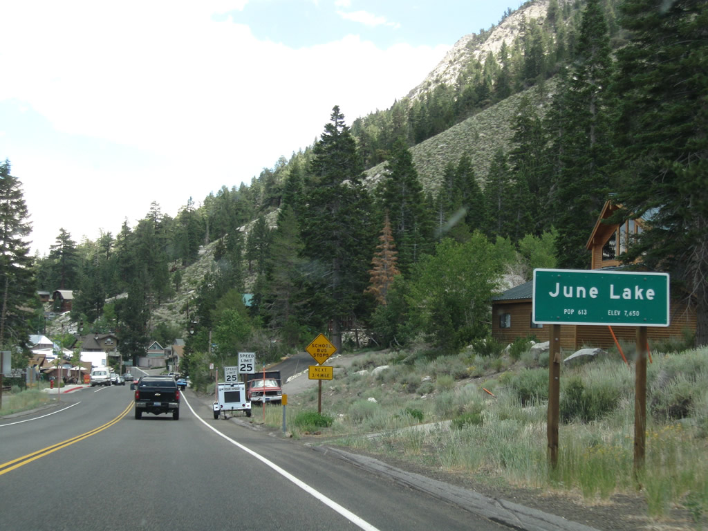
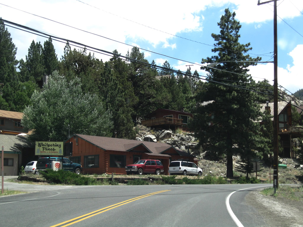
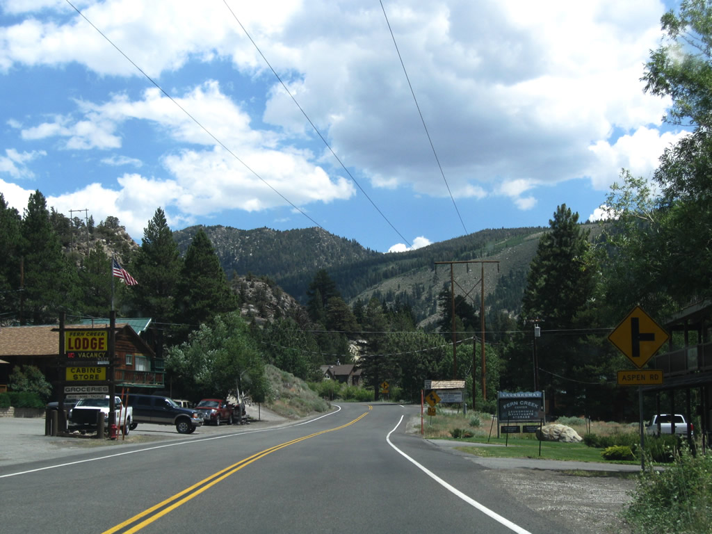
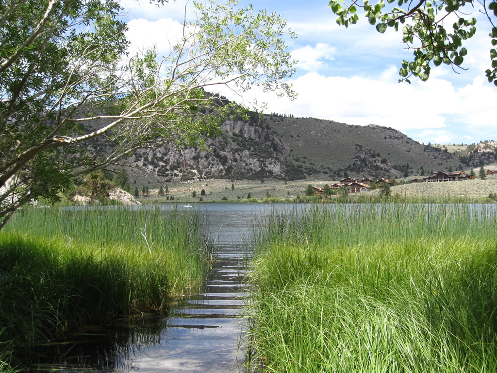
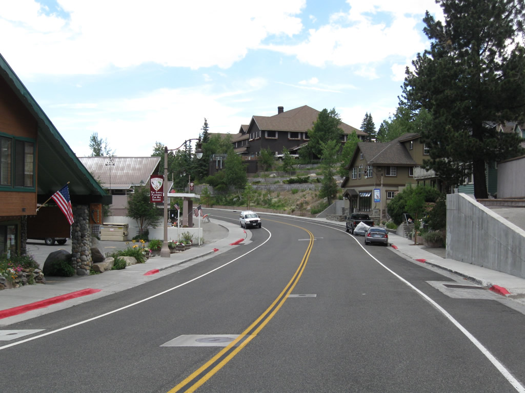
California 158 enters the unincorporated community of June Lake (population 613 as of 2000 Census). With tourism as a major factor in the local economy, many of the businesses are geared toward tourist activities in the area, both Winter and Summer.
07/25/09
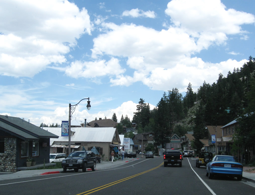
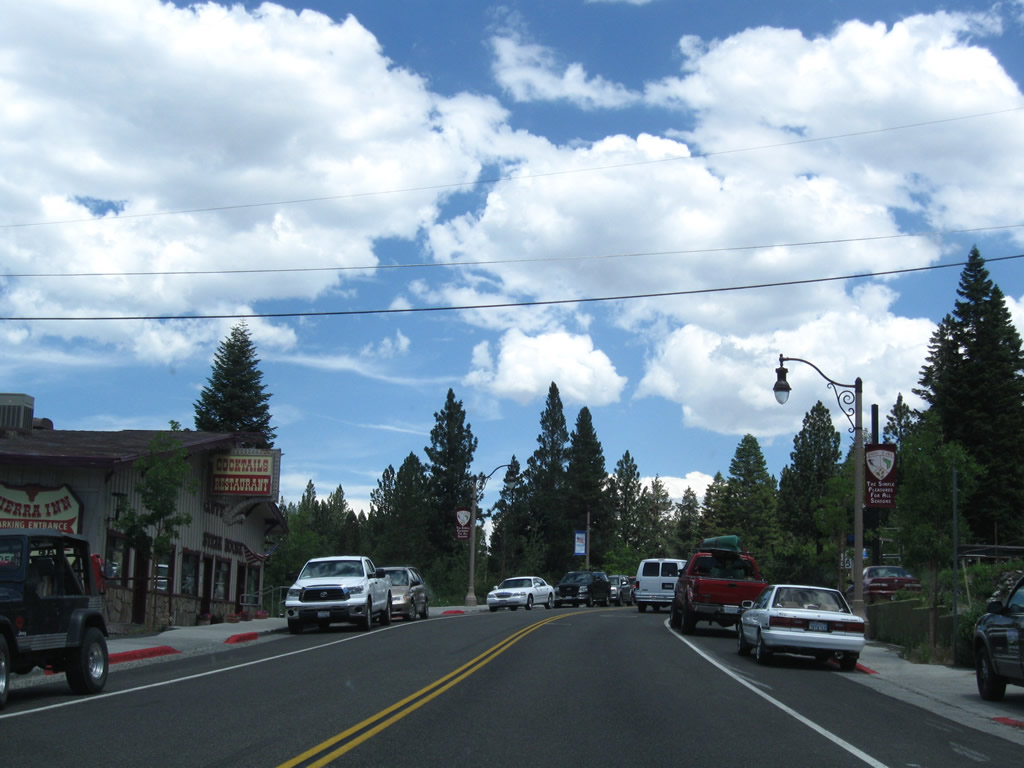
California 158 runs northeast through the community of June Lake. Most motorist services are available here (gas, food, lodging, camping).
07/25/09
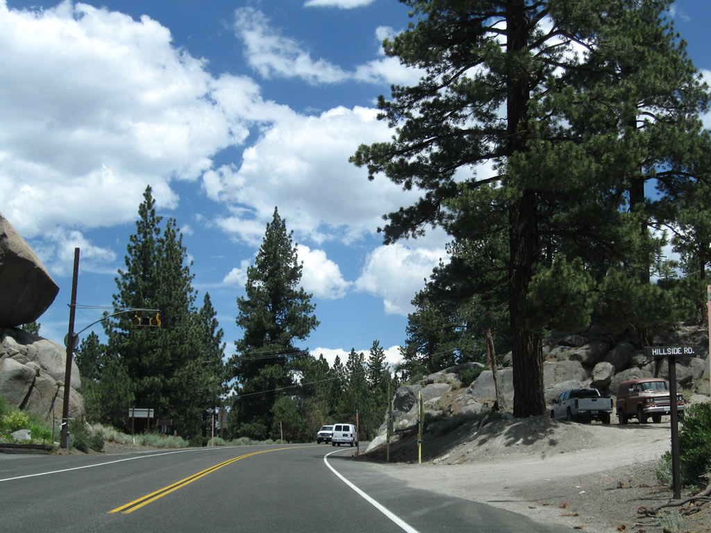
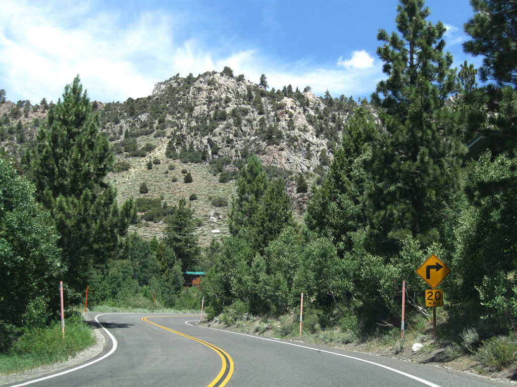
SR 158 at Hillside Road and the June Lake Fire Department A balanced rock sits on the west side of the highway next to the fire house.
07/25/09
June Lake Loop straddles the eastern June Lakeshore northeast beside Mount Downs.
07/25/09
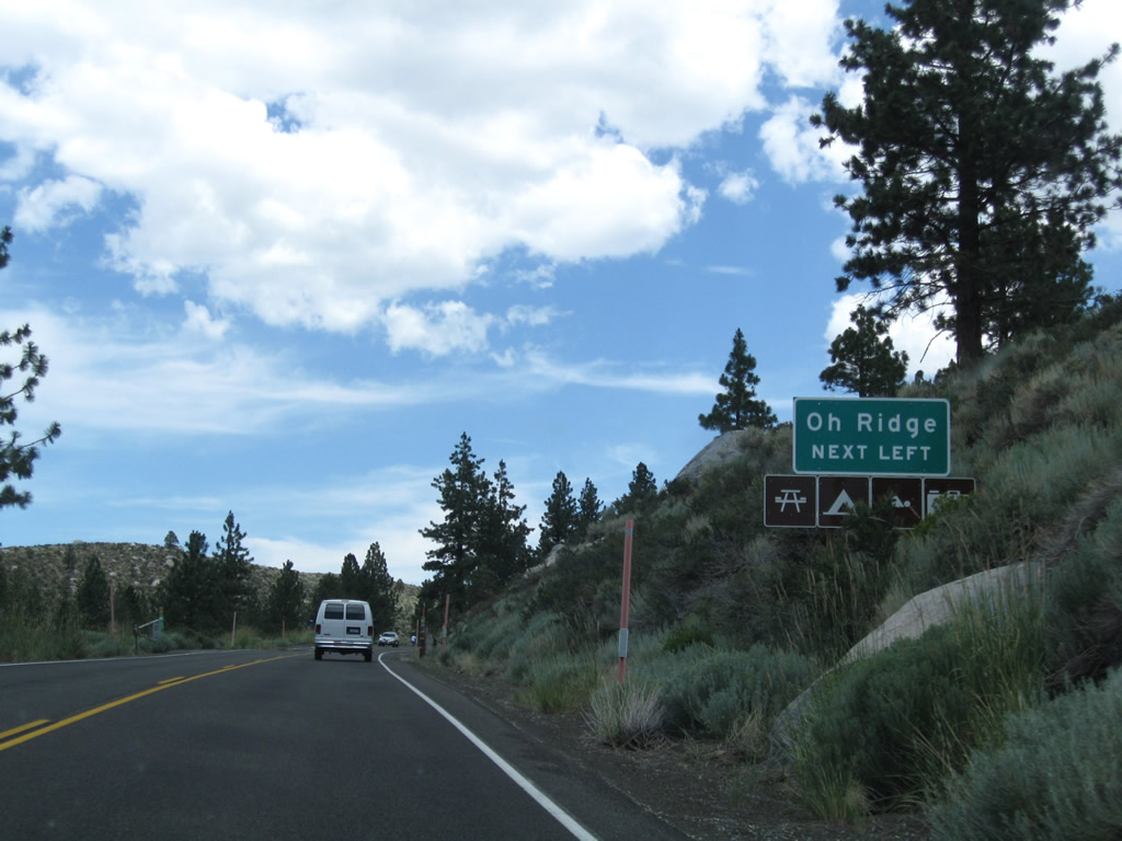
Northshore Drive returns to SR 158 from the loop west around June Lake and Gull Lake. Oh! Ridge and the June Lake Picnic Area, which features a swimming beach, lie just south of Northshore Drive nearby.
07/25/09
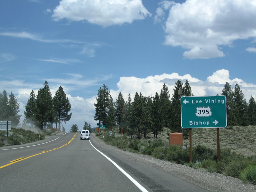
The south end of SR 158 is with U.S. 395 at June Lake Junction. This major travel corridor links the communities of the Eastern Sierra together, including Mammoth Lakes and Bishop to the south and Lee Vining and Bridgeport to the north.
07/25/09
The power line bringing electricity from the Rush Creek Hydroelectric Project into the power grid passes over California 158 prior to the intersection with U.S. 395 at June Lake Junction.
07/25/09
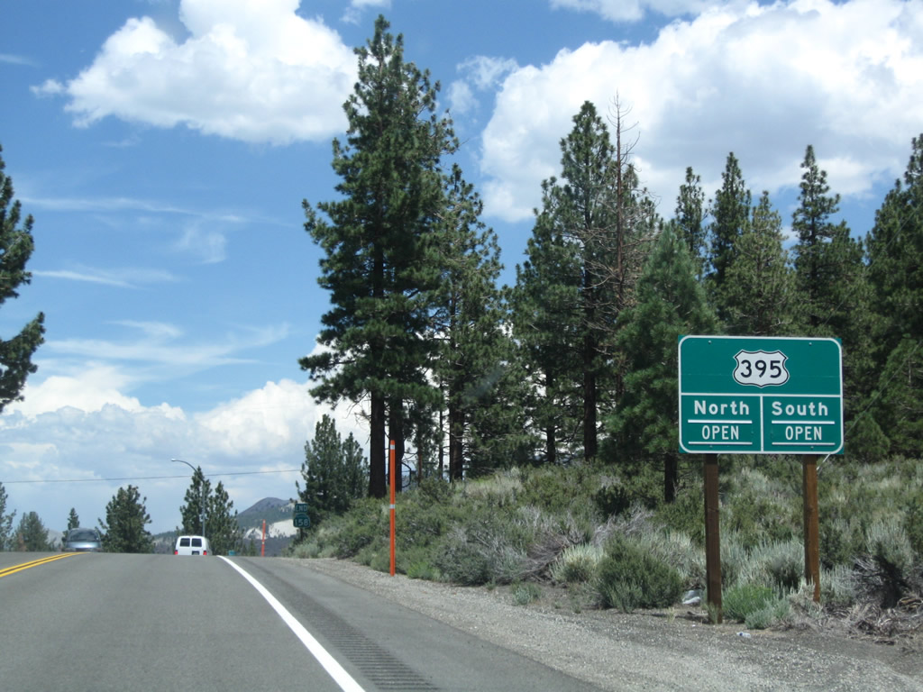
This guide advises whether U.S. 395 is open or closed beyond June Lake Junction. Due to possible snow storms, rock slides, wildfires, traffic accidents, or other incidents, segments of busy U.S. 395 can potentially be closed at any time during the year.
07/25/09

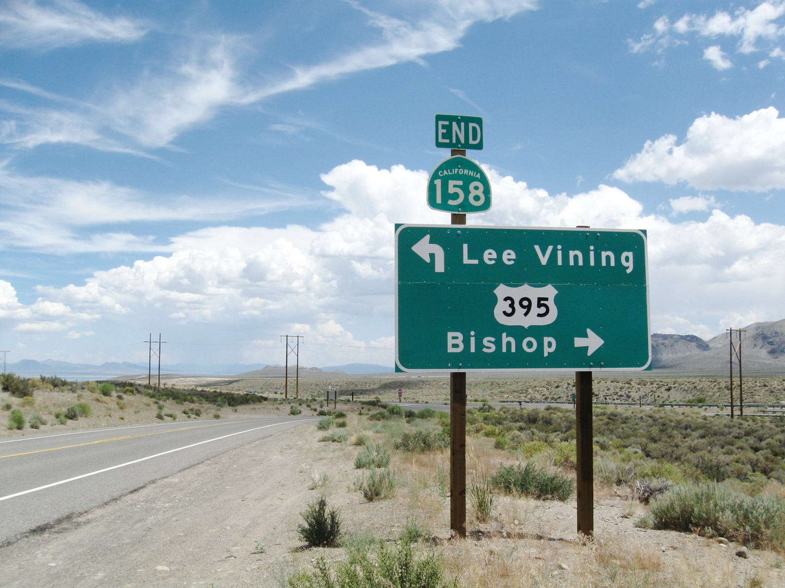
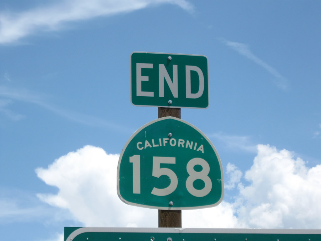
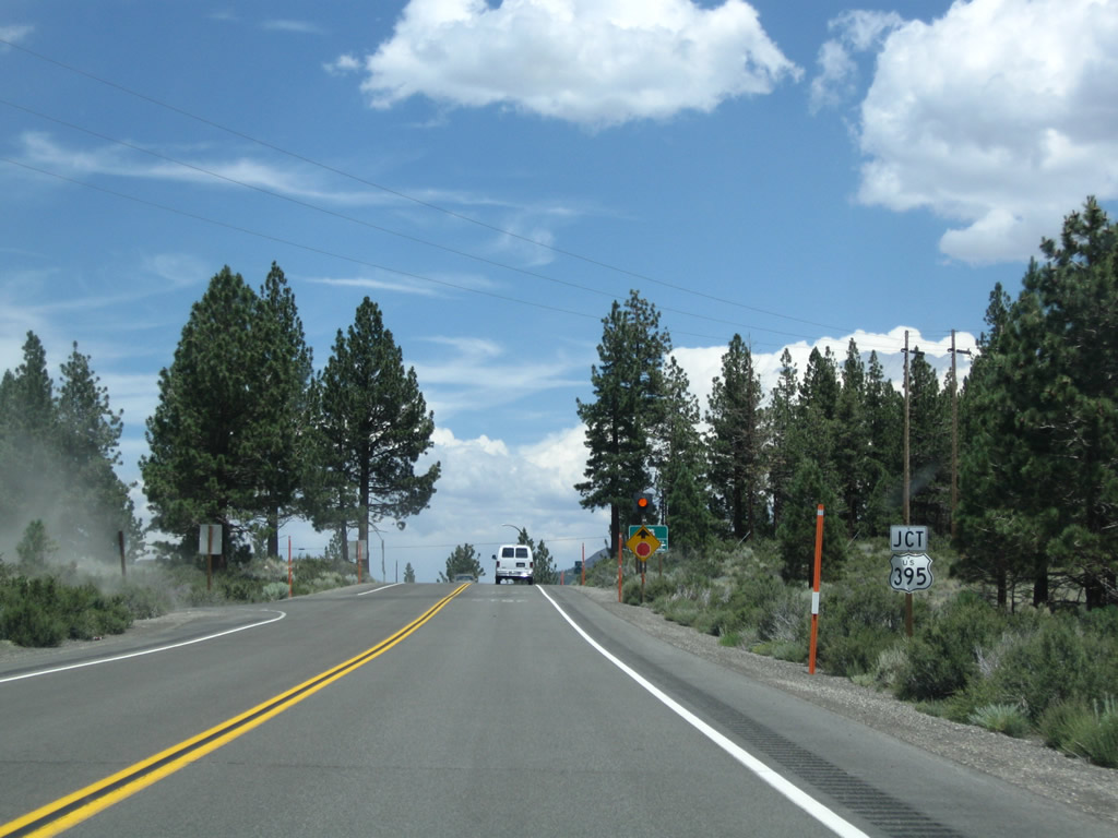
An end California 158 shield assembly stands at the intersection with U.S. 395.
07/25/09
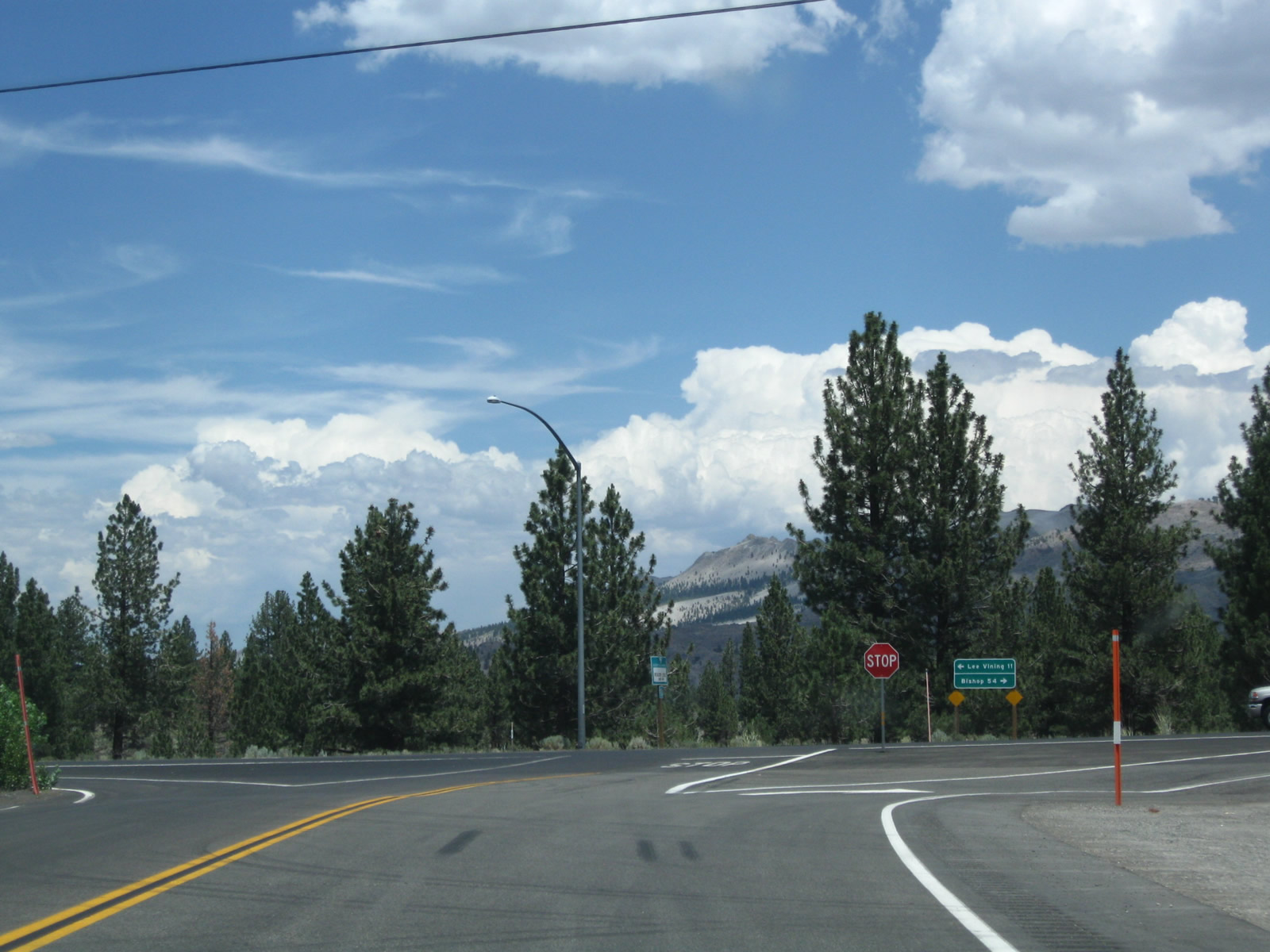
U.S. 395 continues 11 miles north to Lee Vining, with access to Yosemite National Park via California 120 west. Bishop is 54 miles to the south. U.S. 395 continues from there to link with Interstate 15 for San Bernardino, Los Angeles and San Diego.
07/25/09
Photo Credits:
- Andy Field: 07/25/09
Connect with:
Page Updated Sunday April 25, 2010.