
State Route 160

California 160 follows the original route of California 24 between California 4 at Antioch and Business Loop I-80 (Capital City Freeway) in Sacramento. The non-freeway portion of the state route within Sacramento County was relinquished to local control, creating a segmented route. The western section parallels the Sacramento River in the Delta region and the eastern section is the short North Sacramento Freeway segment.
The North Sacramento Freeway runs from just outside Downtown Sacramento to Business Loop I-80 near the Arden Wye. The city of Sacramento considered taking over maintenance of this freeway from Caltrans in the spring of 1999, The subsequent plan would have downgraded it to a city street with at-grade intersections. According to the city this would allow more development along the highway. This takeover did not happen, and California 160 remains intact along the freeway.
California State Route 160 Guides
North - Antioch to Sacramento - 23 photos
South - Sacramento to Antioch - 30 photos
Antioch Bridge
The Antioch Bridge, also known as the Senator John A. Nejedly Bridge, carries California 160 over the San Joaquin River and Stockton Deep Water Channel. The 1.8 mile bridge spans from Antioch-Oakley north to Sherman Island. Built in 1978, the crossing replaced a 1926-built lift bridge.
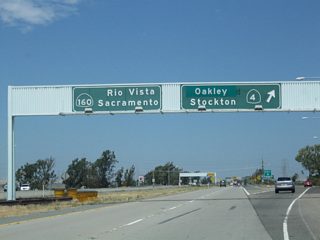
Wilbur Avenue east at the diamond interchange with SR 160 at the south end of the Antioch (Nejedy) Bridge. The guide sign referencing SR 4 and SR 160 here was removed by 2007.
06/19/01

Located off SR 160 on Sherman Island, between Three Mile Slough and the San Joaquin River, the Coronado Ferry found a resting place on the Sacramento River. This ship, known as theSan Diego, was previously used in San Diego to ferry passengers and cars between Coronado and Downtown San Diego. Built in 1931, the ferry was transported here in 1994. The San Diego briefly served in Washington State after ferry service ended in San Diego in 1969, when the Coronado Bay Bridge opened.
11/23/06
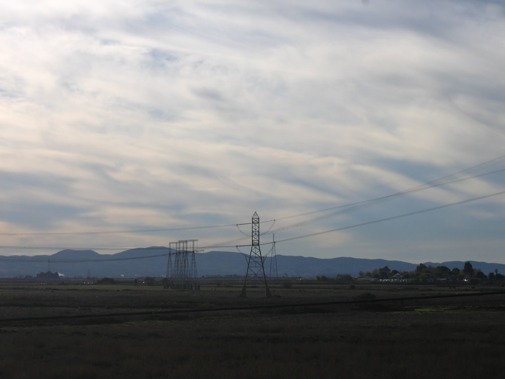
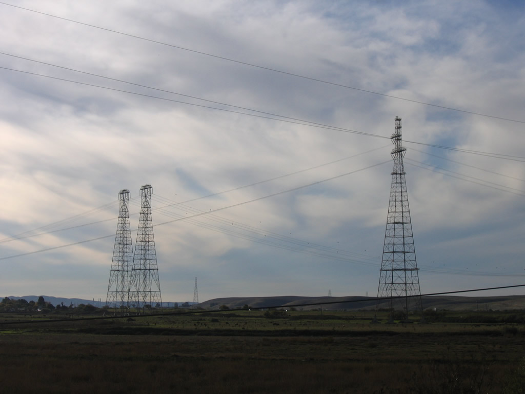
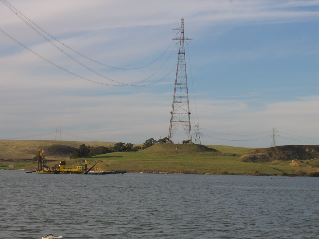
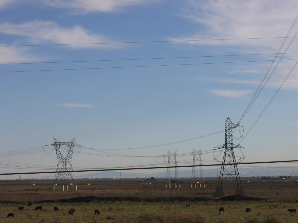
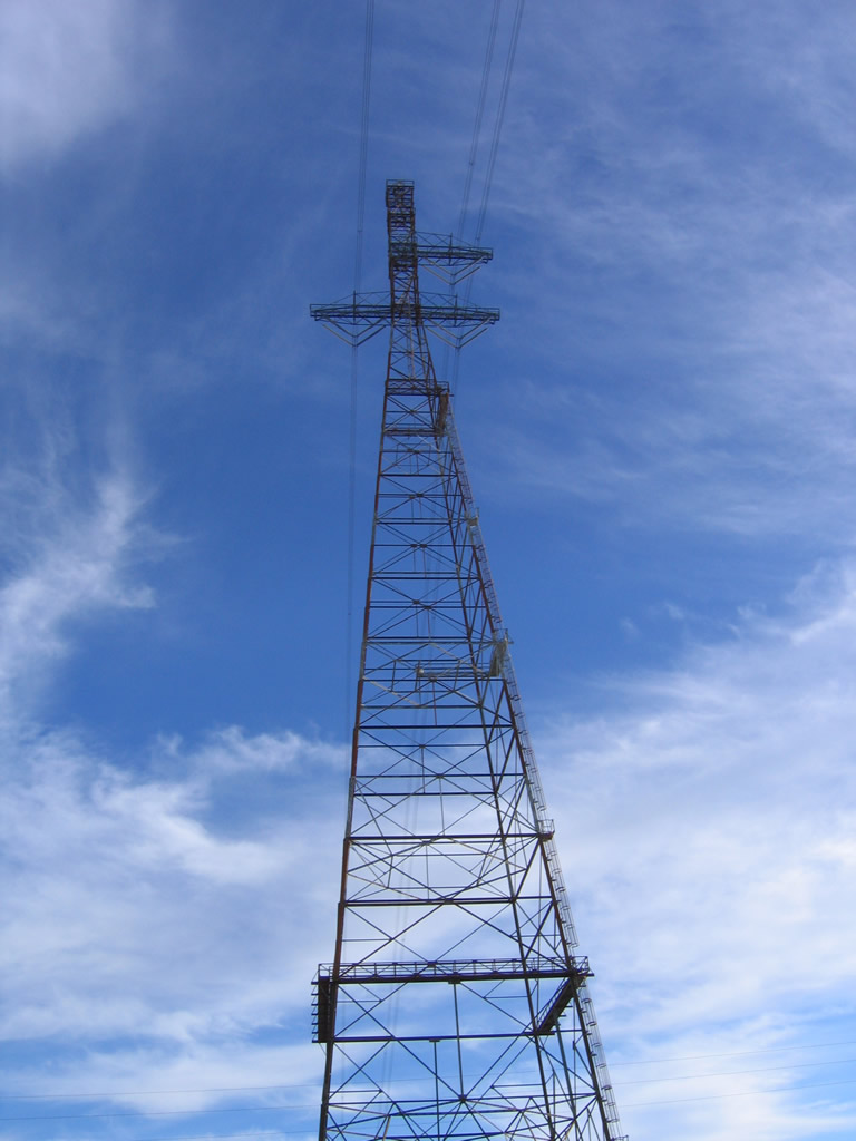
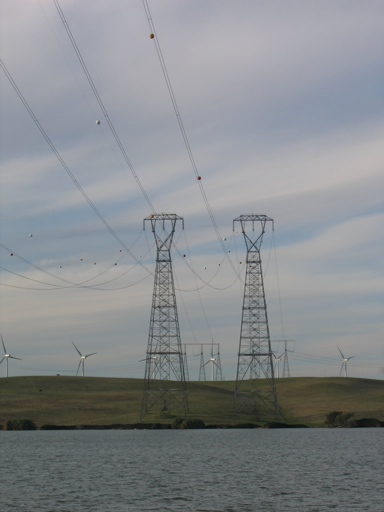
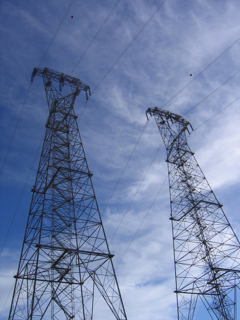
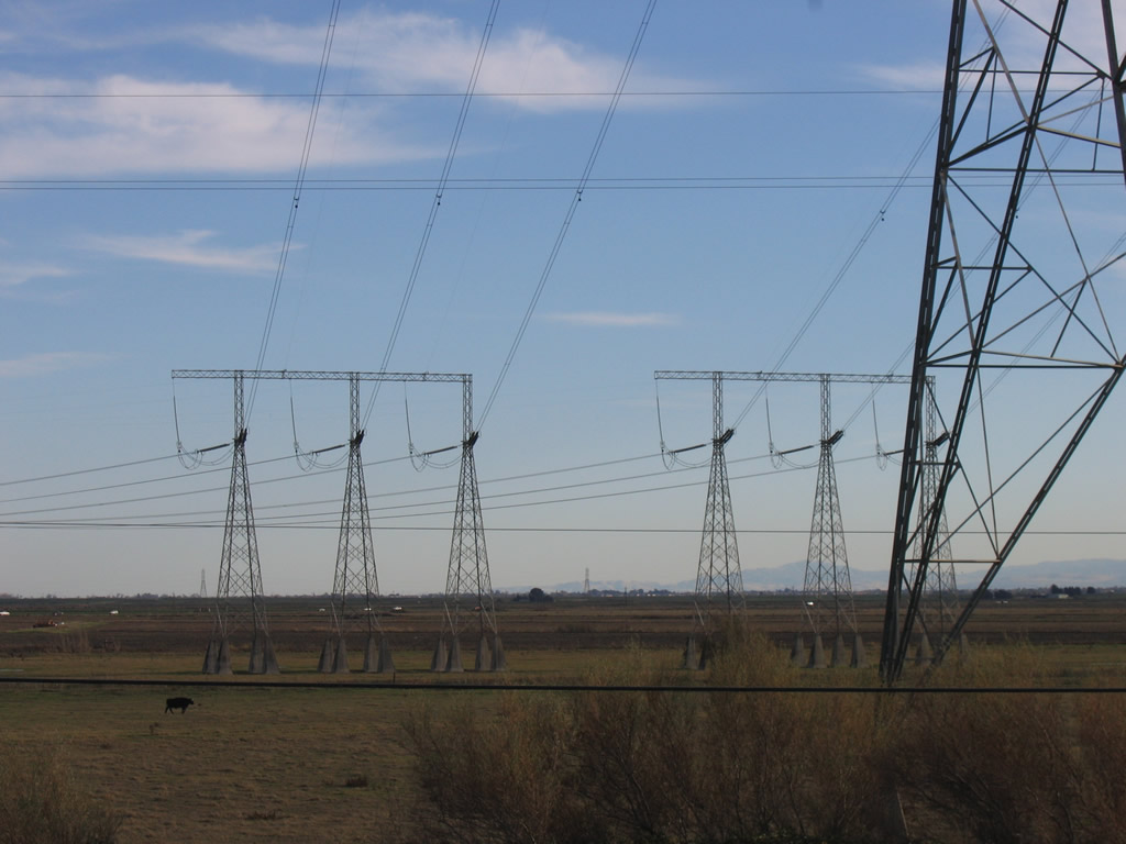
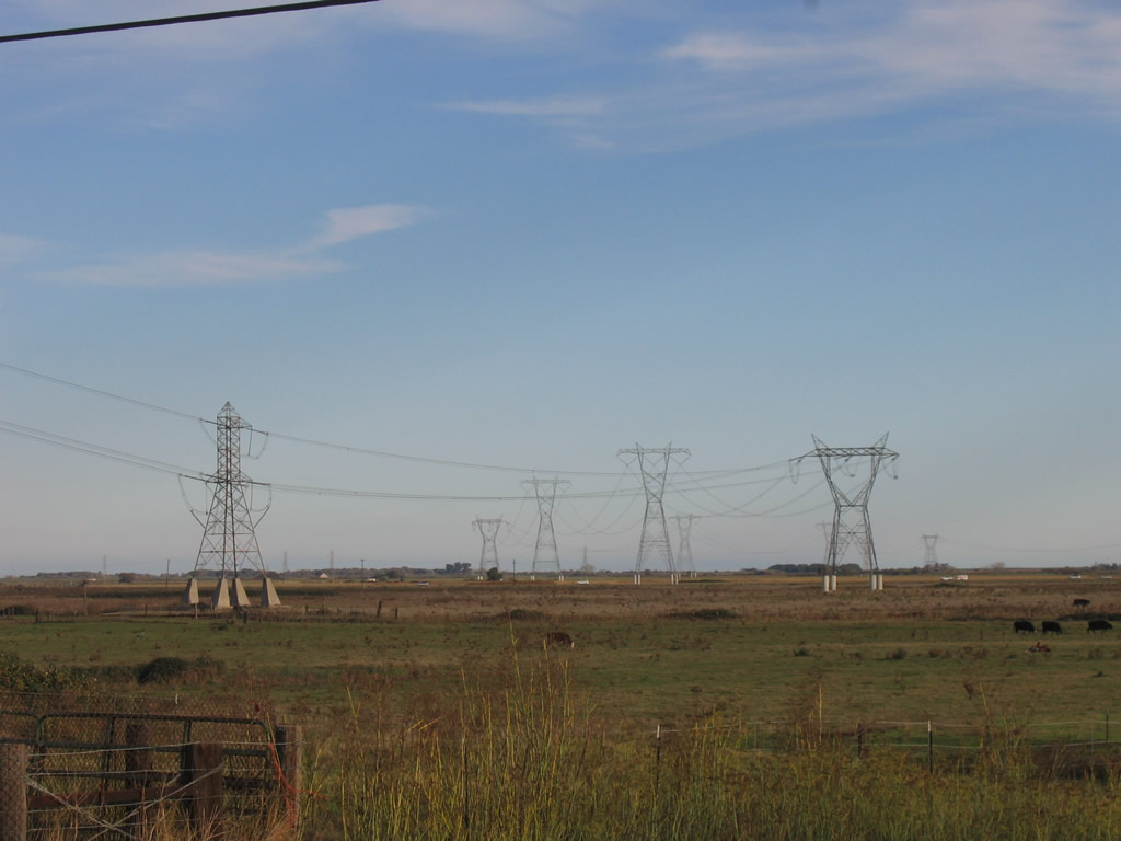
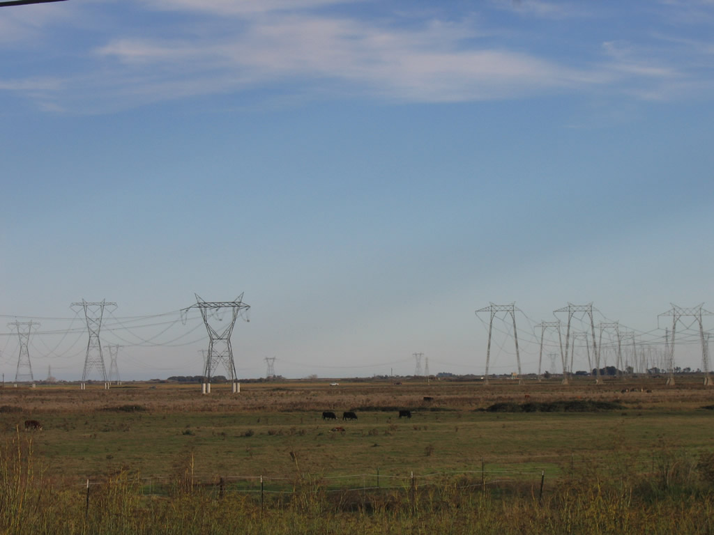
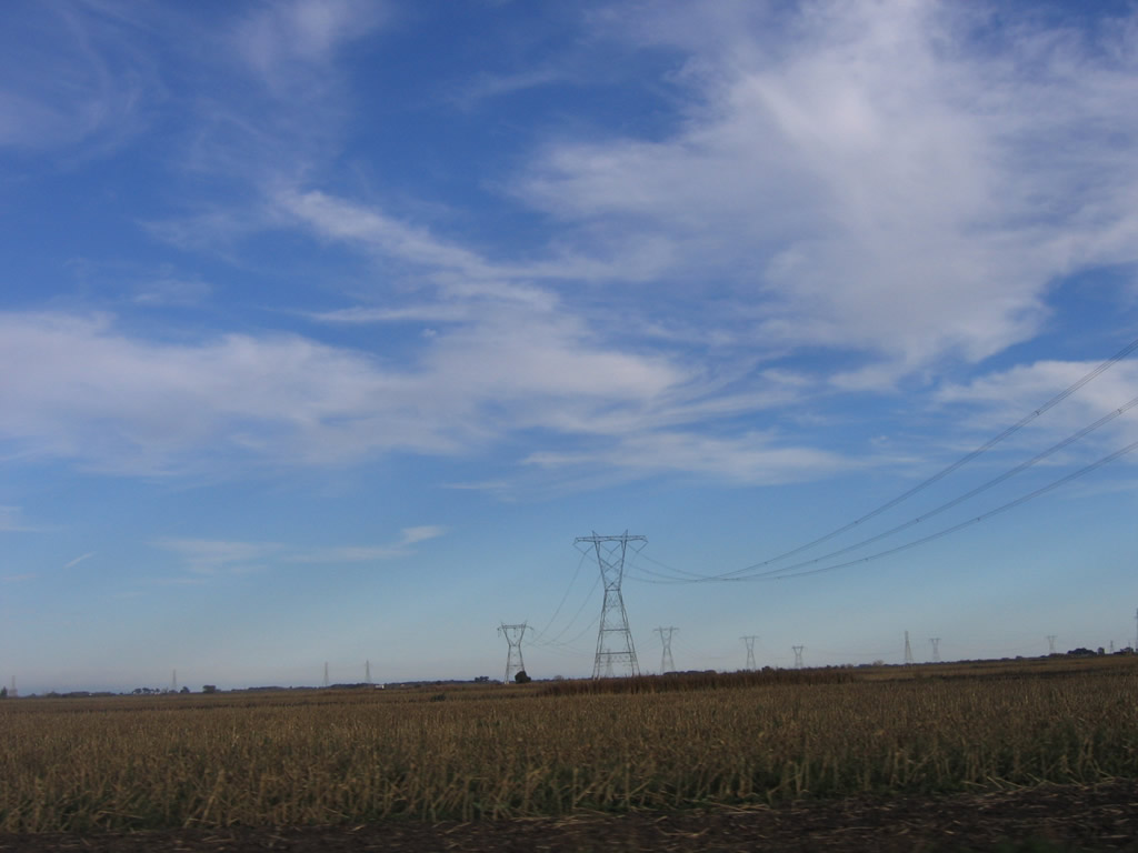
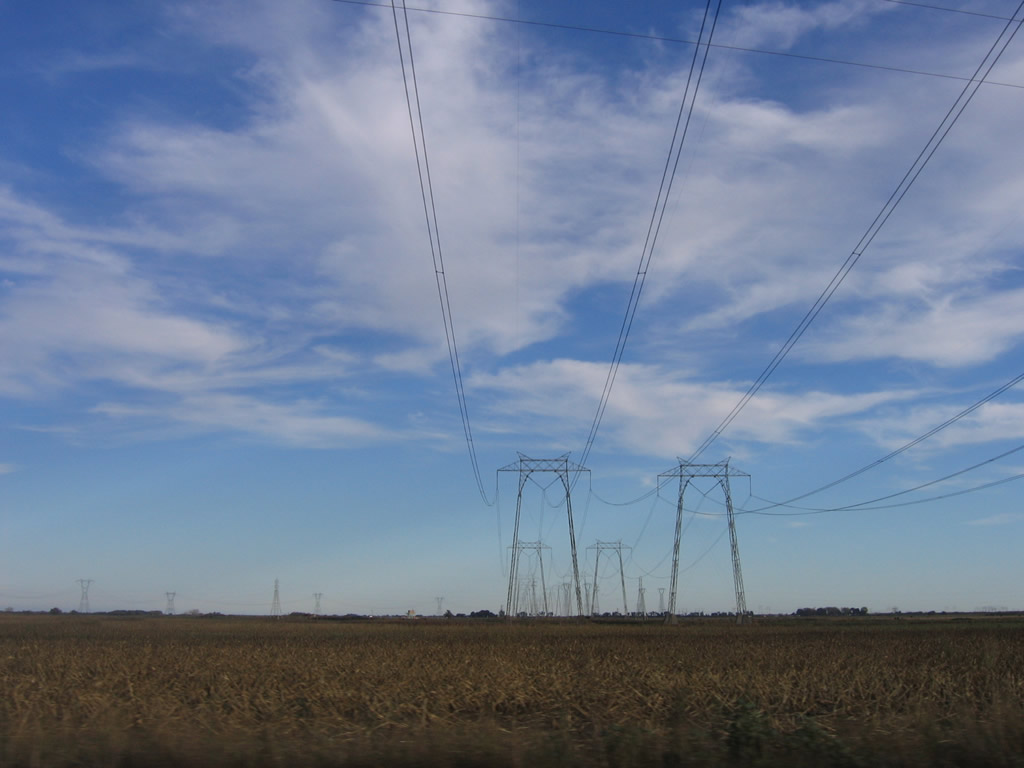
As SR 160 passes through Sherman Island, three single-circuit, 500kV power lines cross over the highway. In sequence from north to south, the first set of transmission lines to cross the highway and Sacramento River is Path 66, followed by the two single-circuit towers that constitute part of Path 15. Together, these three lines form the power backbone of California's power transmission system. They travel across the state, taking a path from Oregon south toward Los Angeles, interconnecting with most power generation facilities along the way.
11/23/06
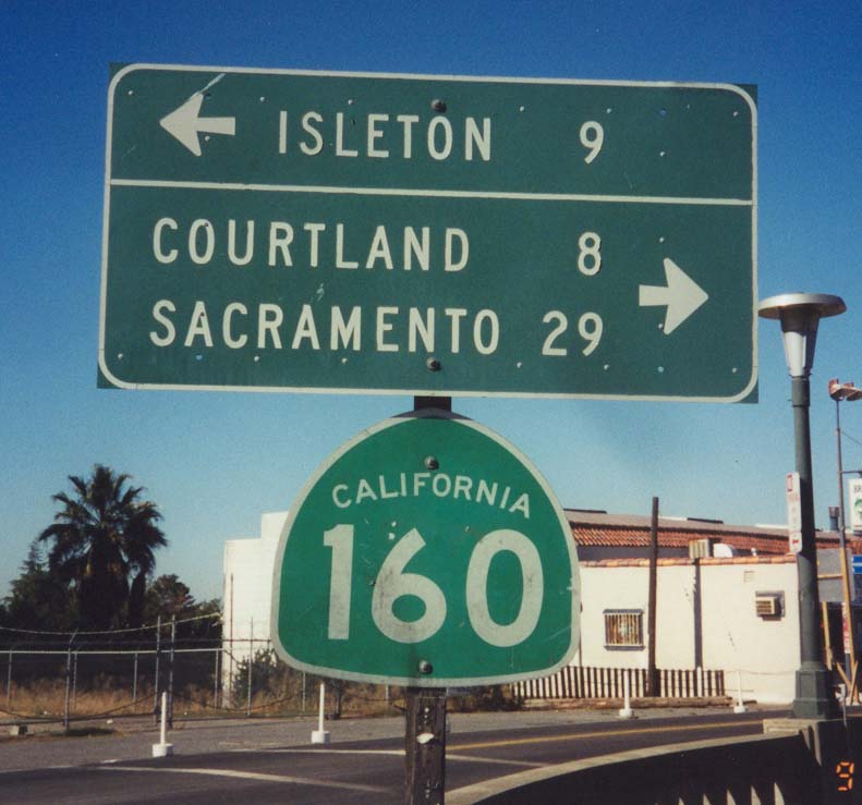
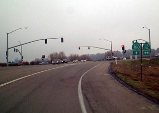
County Road J-11 (Walnut Grove Road) spans the Sacramento River and intersects SR 160 (River Road) in the community of Walnut Grove. The distance sign posted here was removed by 2007.
03/29/01
Photo Credits:
- Joel Windmiller: 03/29/01, 06/19/01
- Andy Field: 11/23/06
Connect with:
Page Updated Thursday July 19, 2018.