
State Route 255
California 255 connects Eureka with Arcata via Samoa, crossing Humboldt Bay along the way.
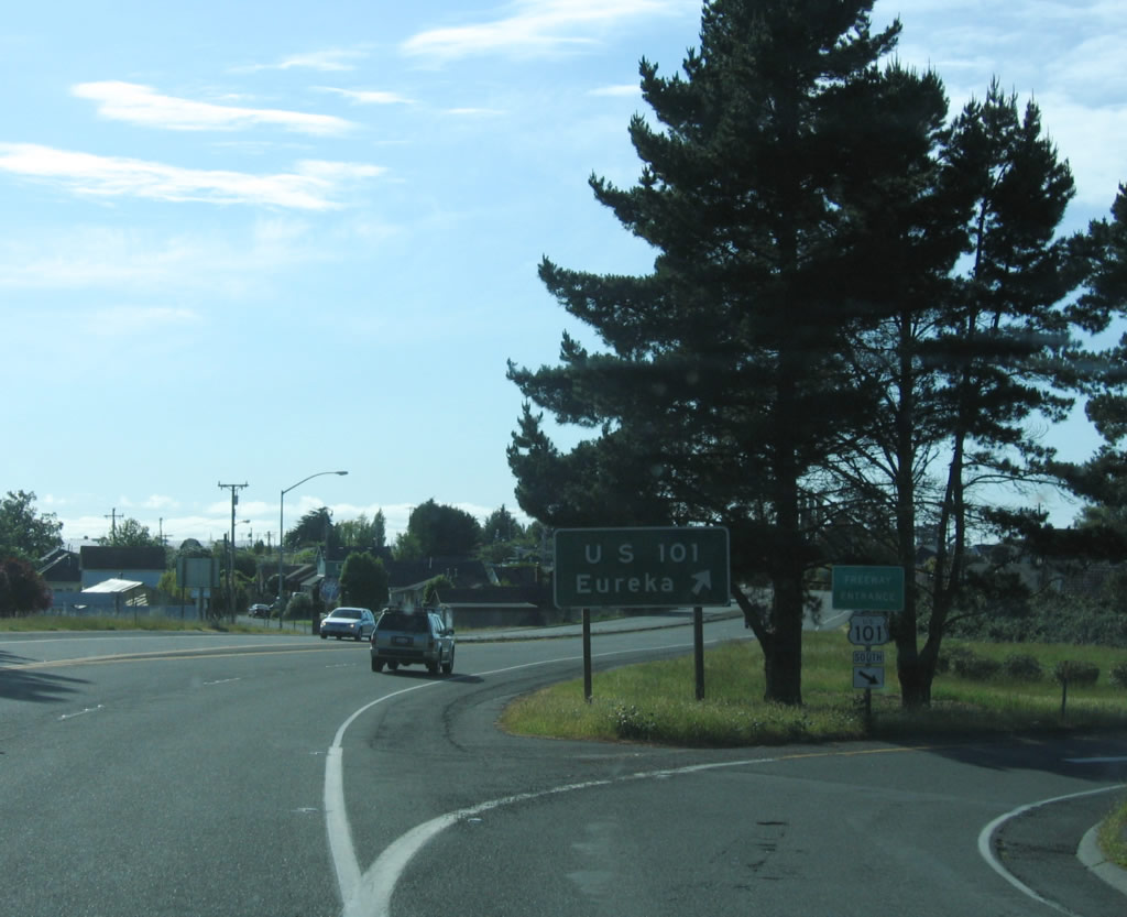
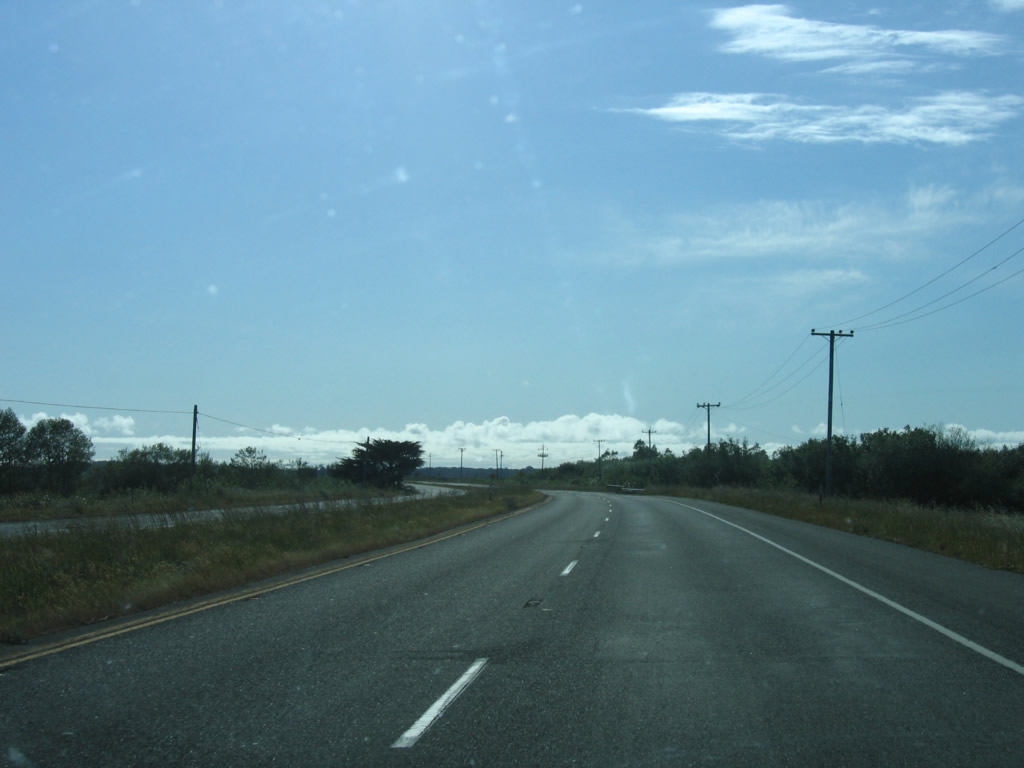
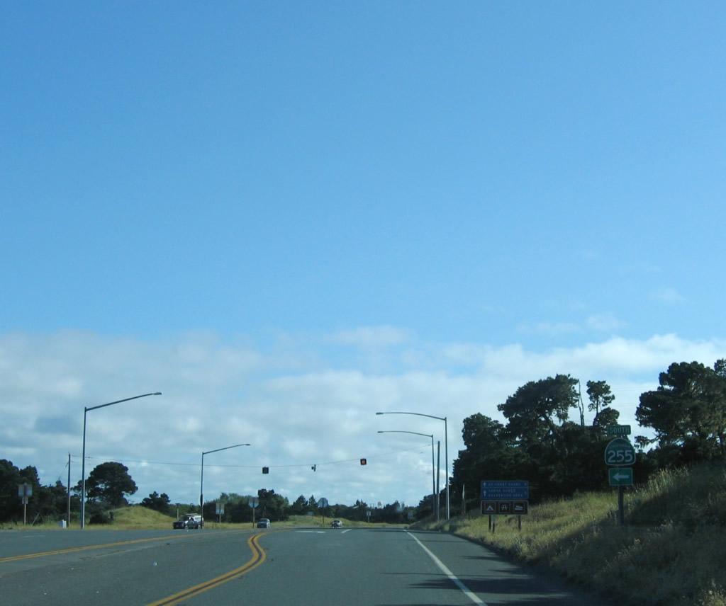
The interchange between California 255 and U.S. 101 (Redwood Highway) at Exit 713 is a modified cloverleaf. The first ramp connects to northbound U.S. 101; the second ramp is a loop ramp that connects to U.S. 101 south. Note the use of text-based signs here, rather than a U.S. 101 shield.
05/28/06
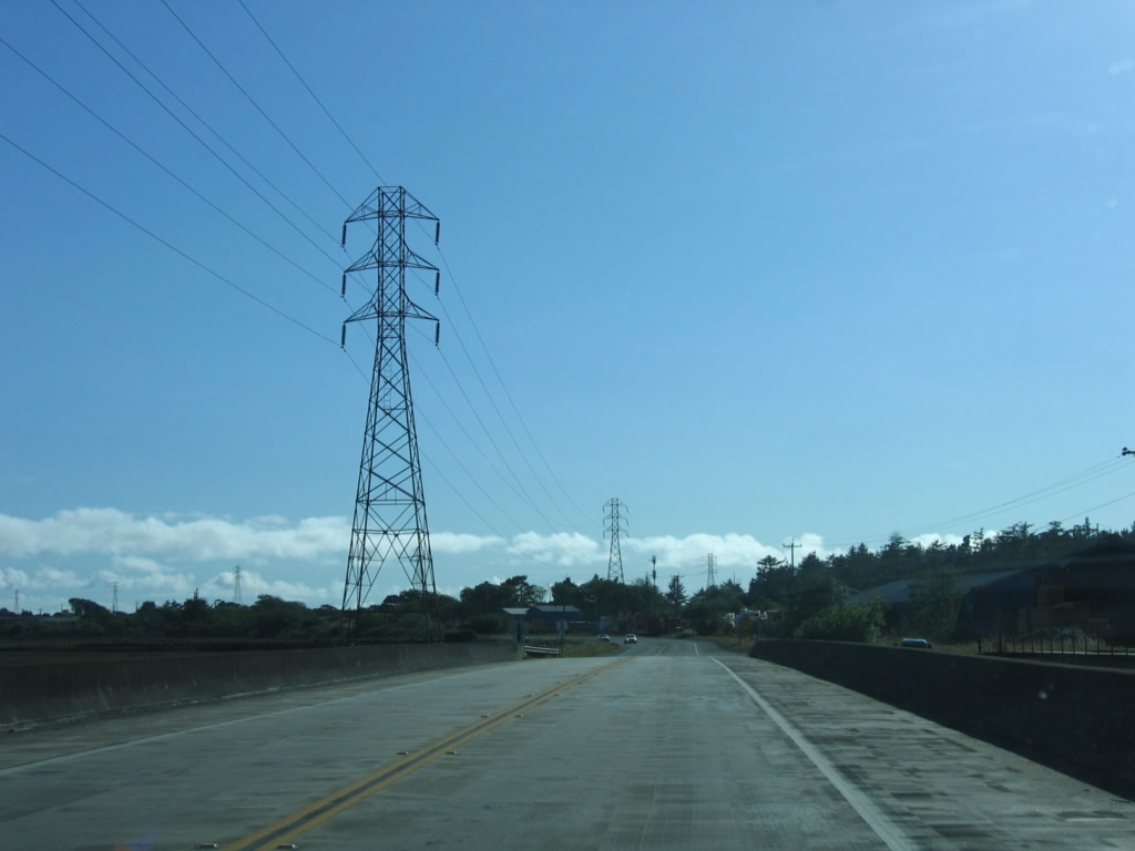
California 255 leaves U.S. 101 (Redwood Highway) at Exit 713. The route is occasionally signed with directional banners; this is because the first leg of the route travels due west along Samoa Boulevard from Arcata toward Humboldt Bay. From there, California 255 turns south through Samoa, then turns east to return to U.S. 101 in downtown Eureka.
05/28/06
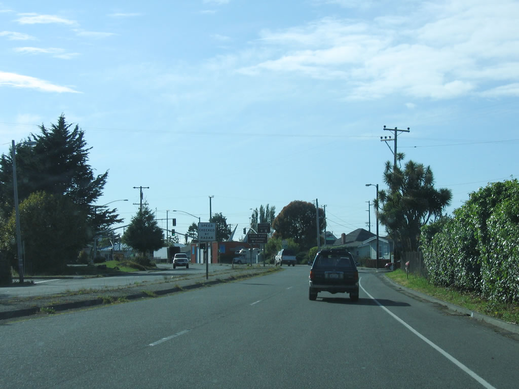
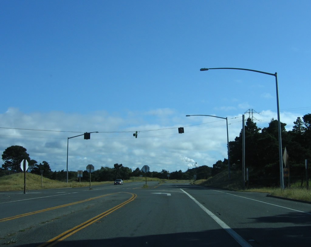
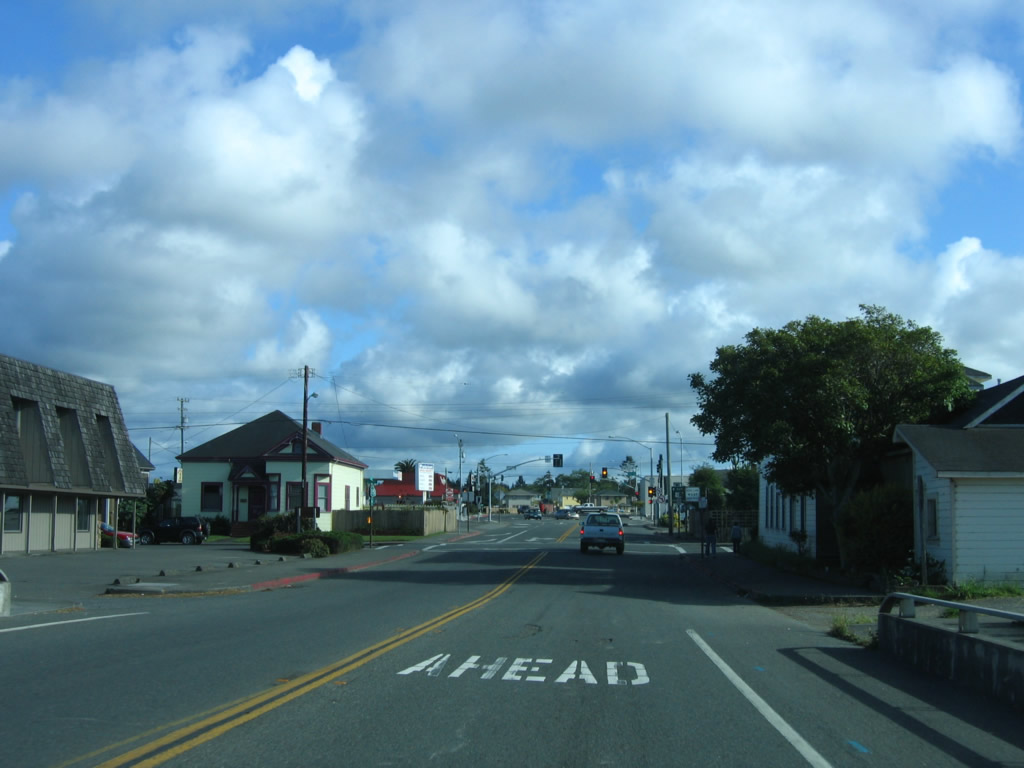
The first traffic signal on southbound (westbound) California 255 (Samoa Boulevard) (4th Street) after the U.S. 101 interchange is with G Street, which is the old alignment of U.S. 101. (G Street is not a business route although it could be if the southern end featured a complete interchange with U.S. 101.) The state route begins as a four-lane, divided highway in Arcata, but it will reduce to two lanes shortly. The city of Arcata is home to 16,651 people per the 2000 Census. Incorporated in 1858, Arcata is a college town, with Humboldt State University (a campus of the California State University system) located northeast of downtown Arcata. Other points of interest in the community include Arcata Marsh and Arcata's Community Forest (over 622 acres of timberland).
05/28/06
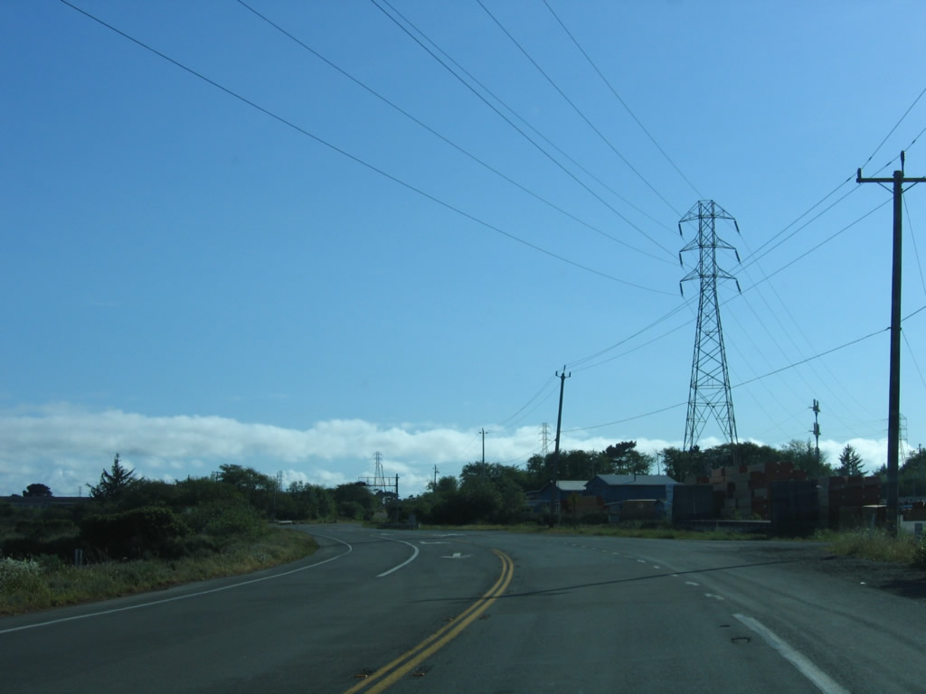
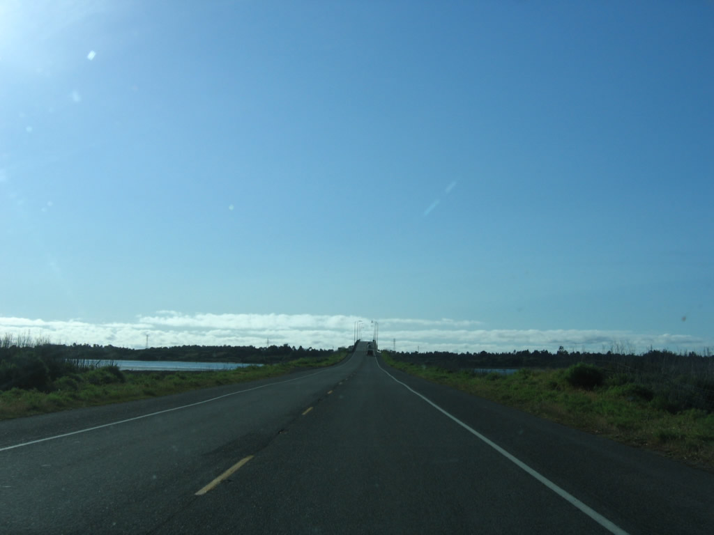
Continuing east, California 255 leaves Arcata, crosses a railroad, and passes through the wetlands that characterize the path to Samoa. For now the highway is a four-lane expressway, but it will soon downgrade to a conventional two-lane highway.
05/28/06
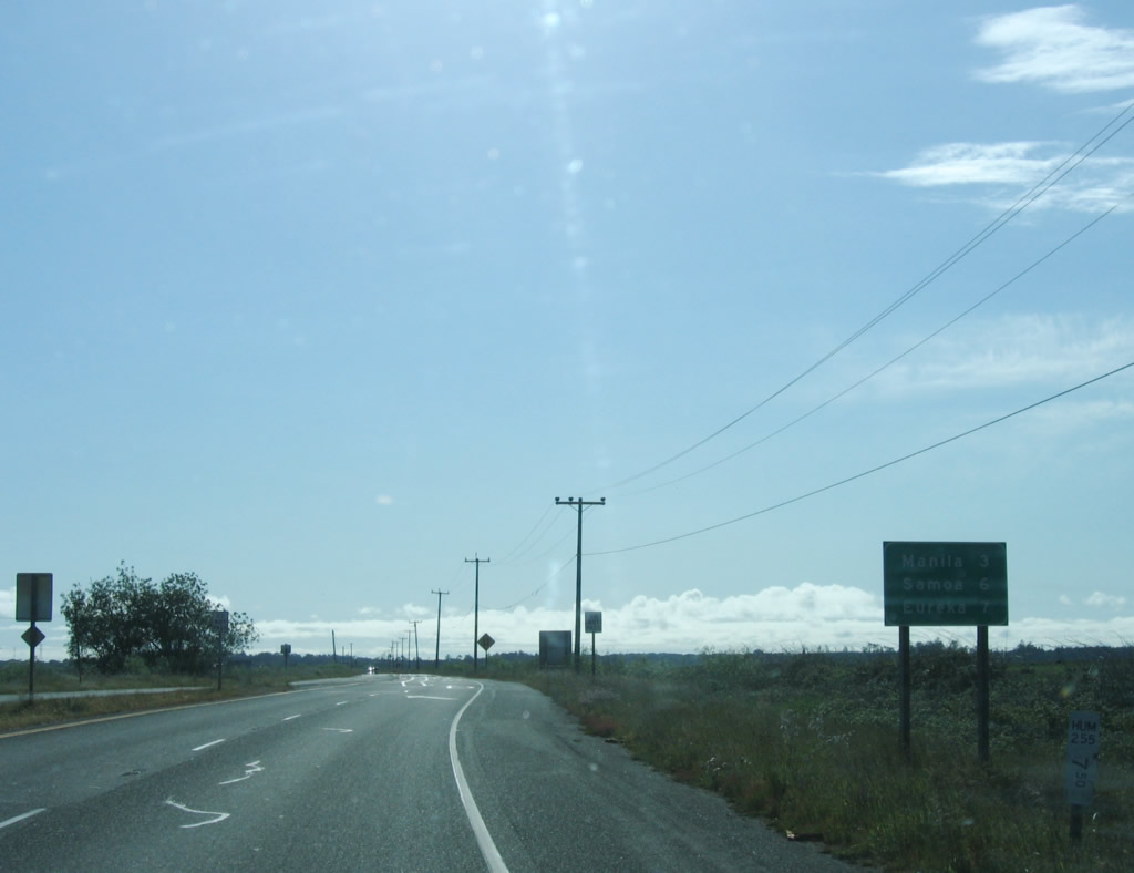
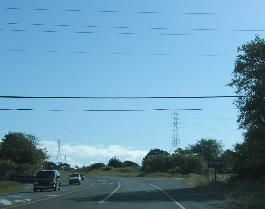
This mileage sign on southbound California 255 west provides the distance to Manila (three miles), Samoa (six miles), and Eureka (seven miles). The four-lane section comes to an end here.
05/28/06
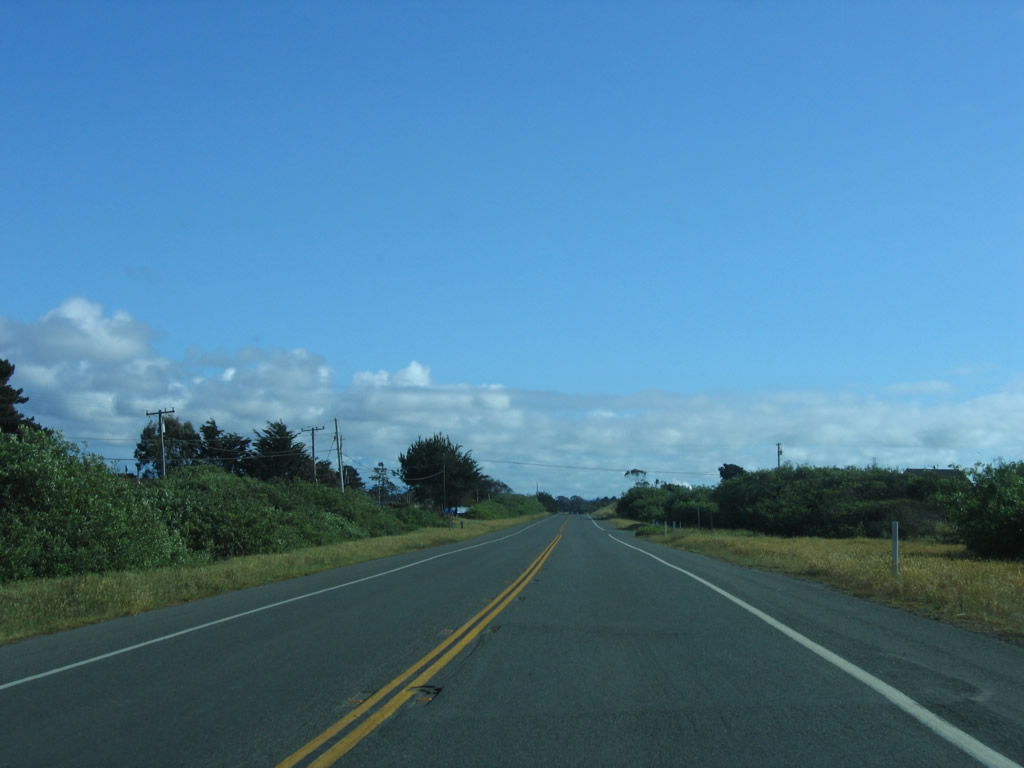
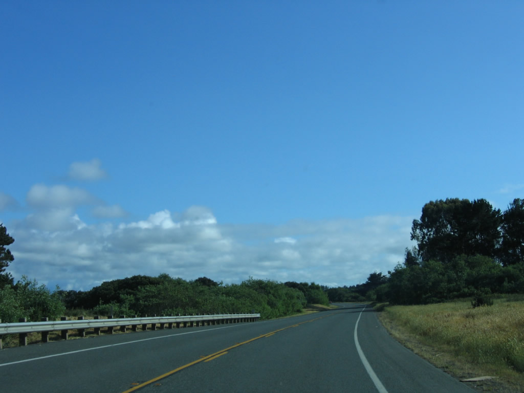
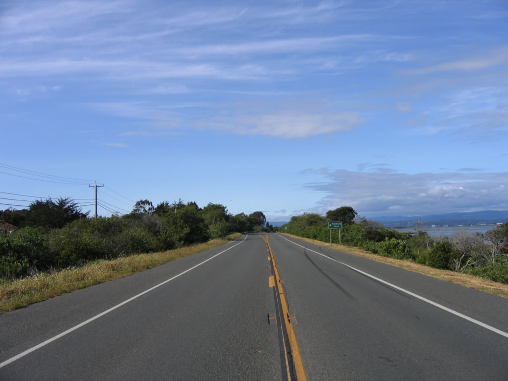
Prior to intersecting Jackson Ranch Road, this view of two-lane California 255 characterizes the highway for the remainder of its westbound route. The state route will soon turn south just before reaching the Pacific Ocean.
05/28/06
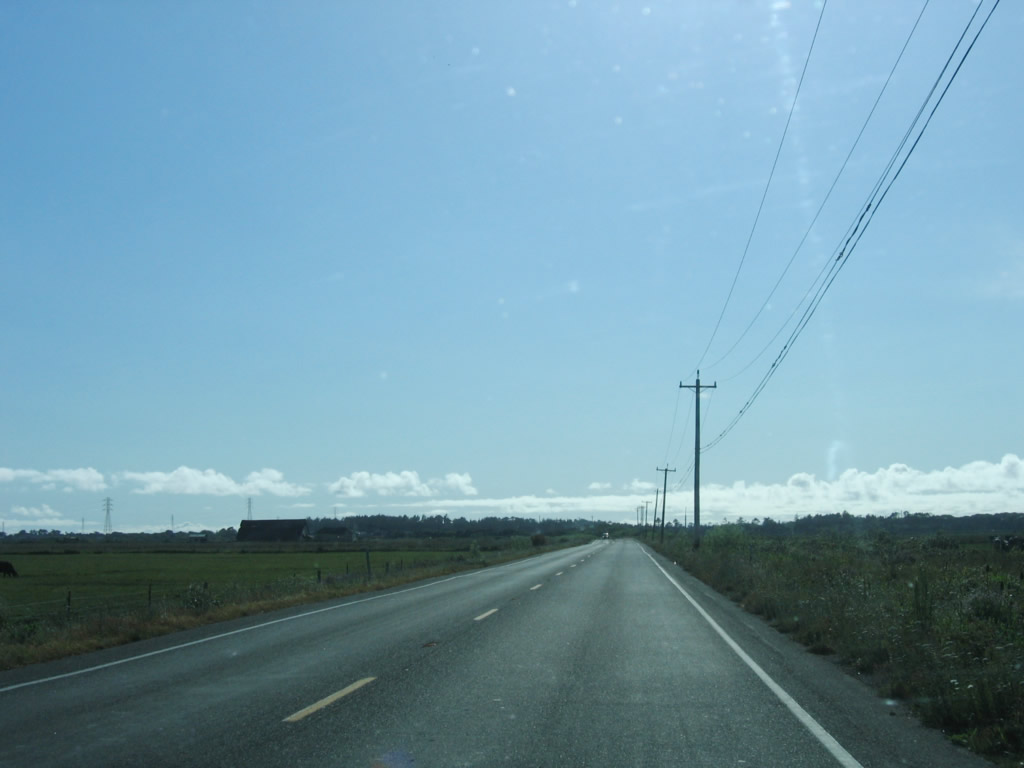
Familiar Pacific Gas and Electric (PG&E) power lines join California 255 as it continues southwest toward Manila and Samoa.
05/28/06
Traveling a bit further west, California 255 crosses over the Mad River Slough Bridge.
05/28/06
California 255 turns southwest as the state route enters the town of Manila. Modern California 255 bypasses Manila, while local roads connect to the businesses and residences within this small, unincorporated community.
05/28/06
Now traveling south, California 255 passes by the Manila town limits sign. The highway through here is designed as a two-lane expressway, with access to the roadway limited to specific intersections.
05/28/06
Lighting improves as we follow California 255 south through Manila toward Samoa.
05/28/06
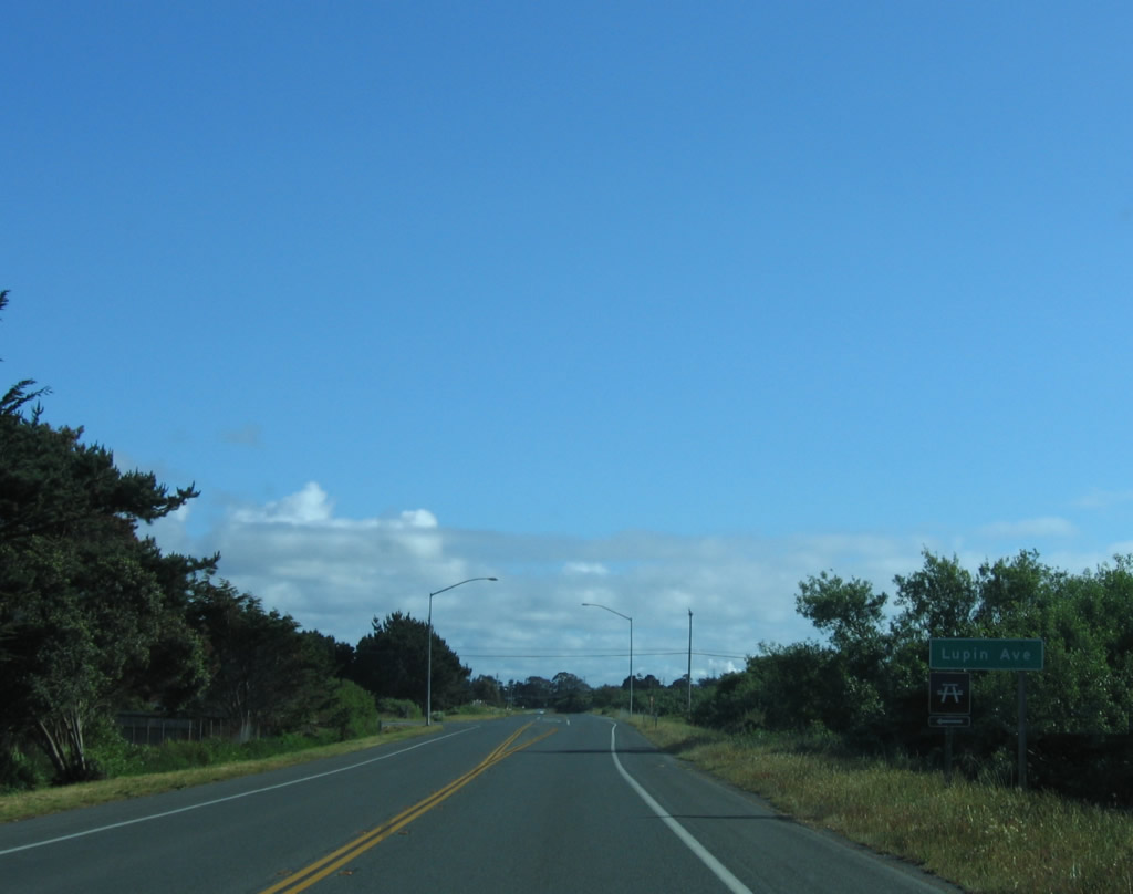
Southbound California 255 approaches Lupin Avenue.
05/28/06
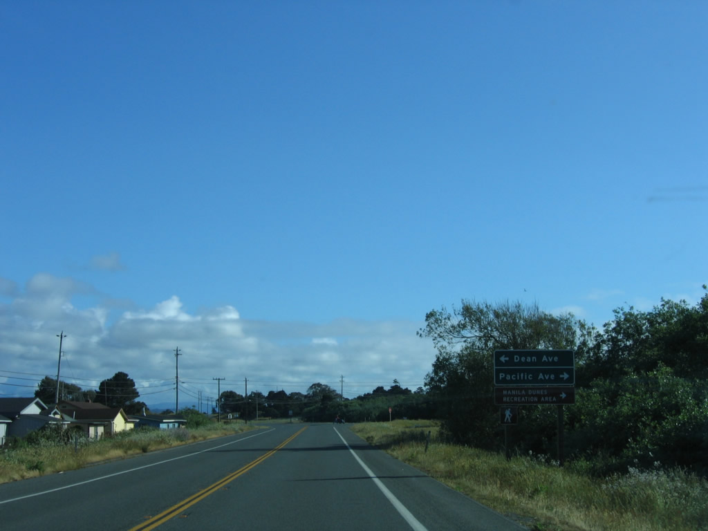
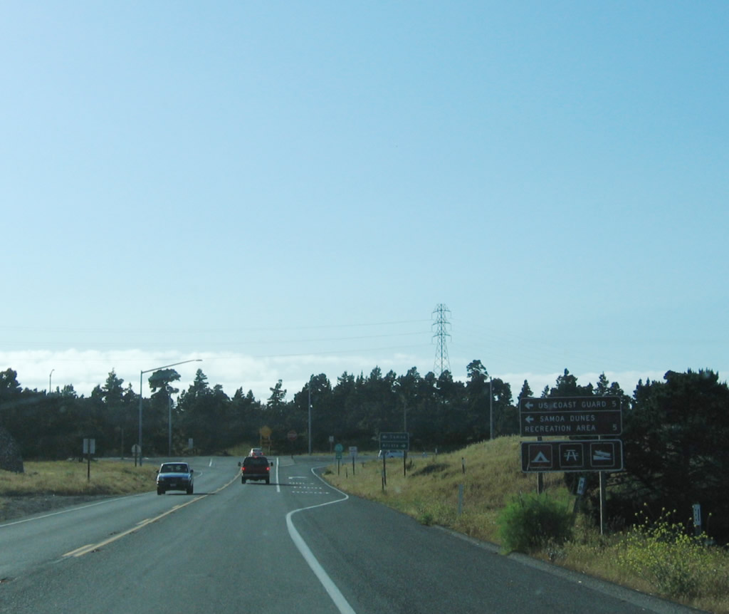
Shortly thereafter, southbound California 255 approaches Dean Avenue east and Pacific Avenue west to Manila Dunes Recreation Area.
05/28/06
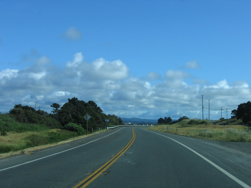
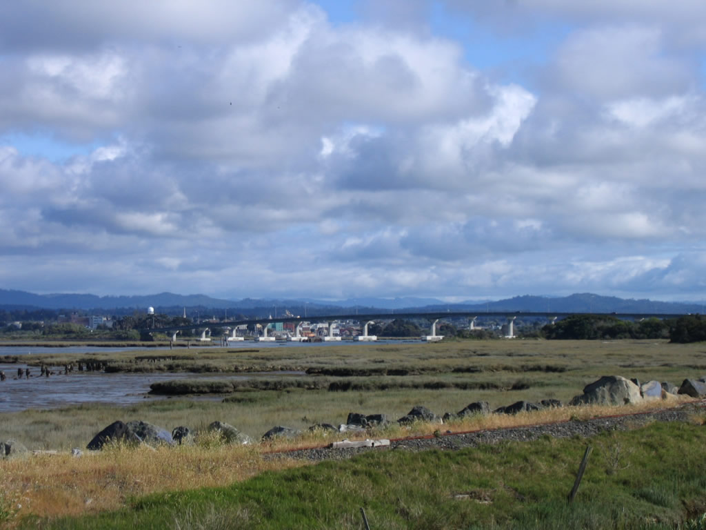
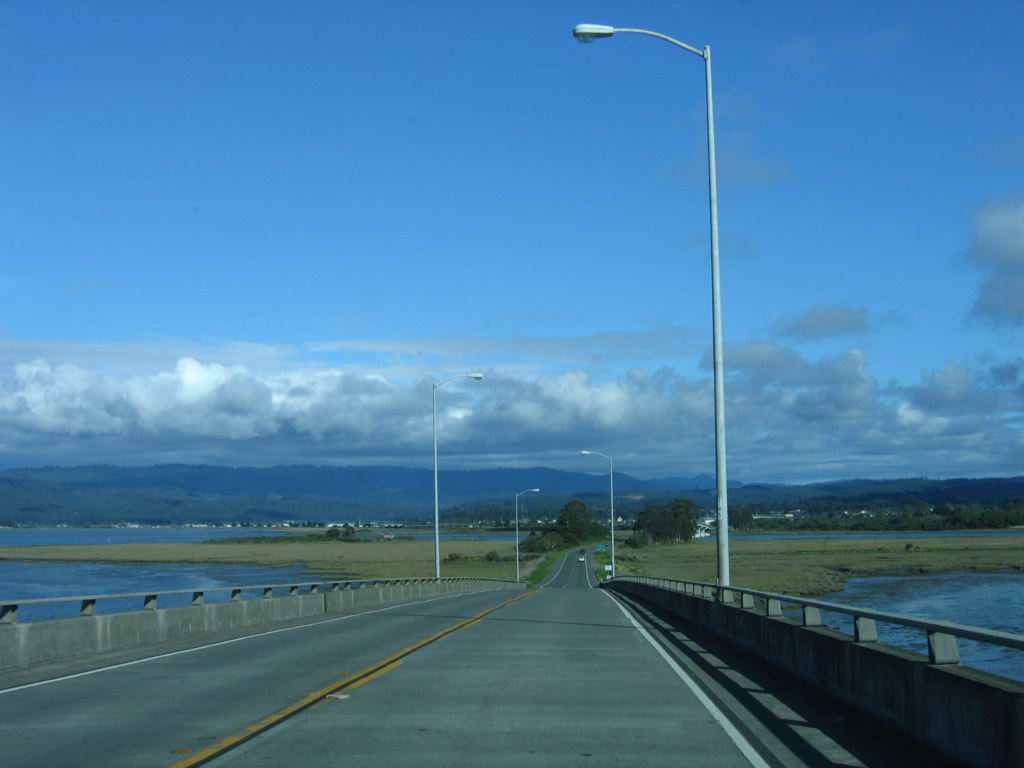
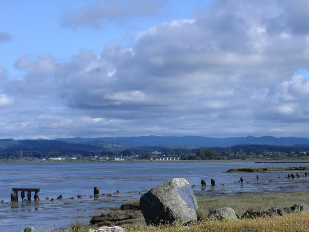
The drive along California 255 south along the peninsula is scenic, with views of Humboldt Bay and the cities along the bayshore within view.
05/28/06
A couple of vantage points along the roadway offer views of the city of Eureka, the Samoa Bridge, and Humboldt Bay including this one found on southbound California 255.
05/28/06
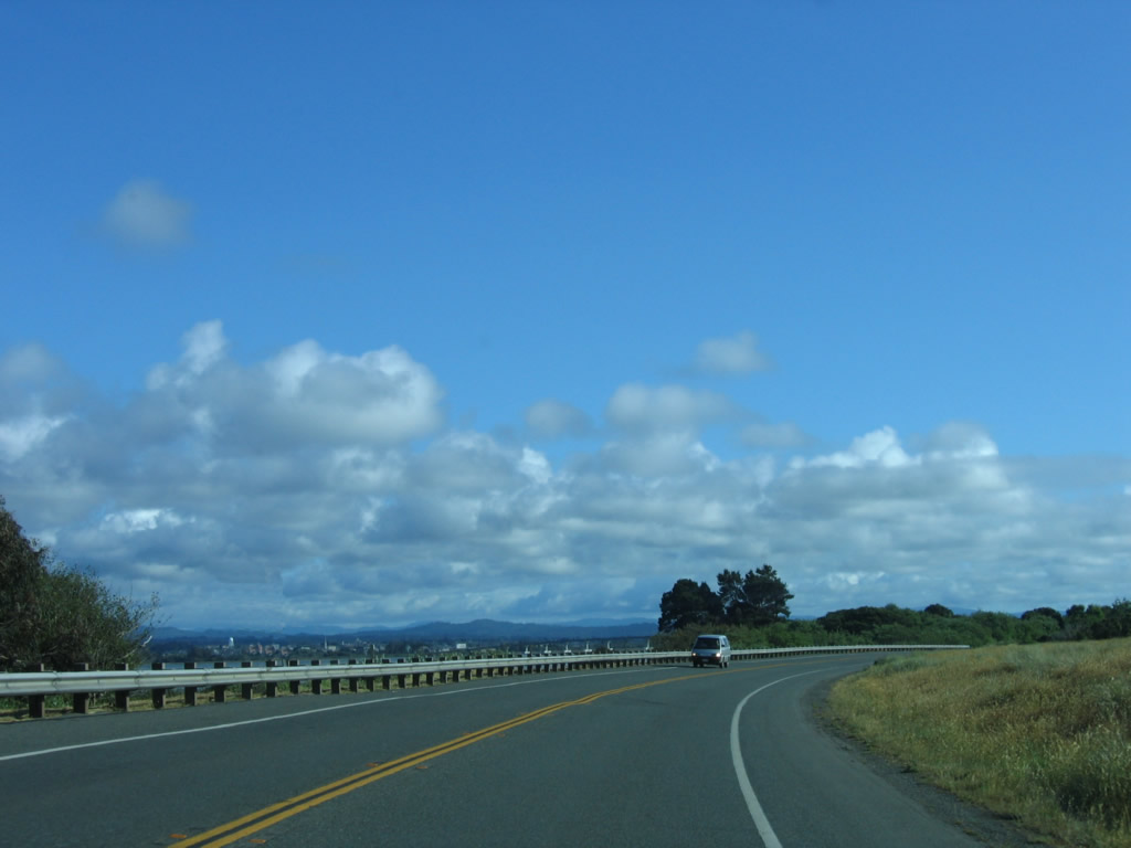
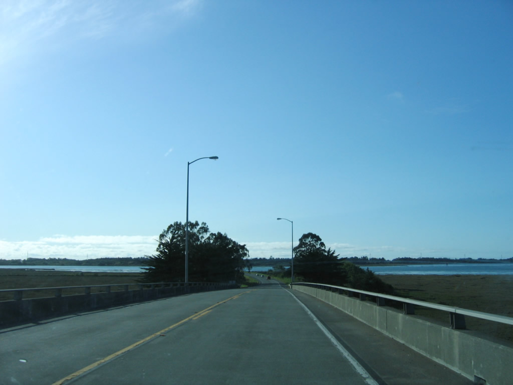
Scenic California 255 continues south from Manila toward Samoa on the peninsula.
05/28/06
Near the Peninsula Drive intersection, this view of the Samoa Bridge (which carries California 255 over Humboldt Bay) can be seen from southbound California 255. It consists of three sections, separated by small islands in the bay.
05/28/06
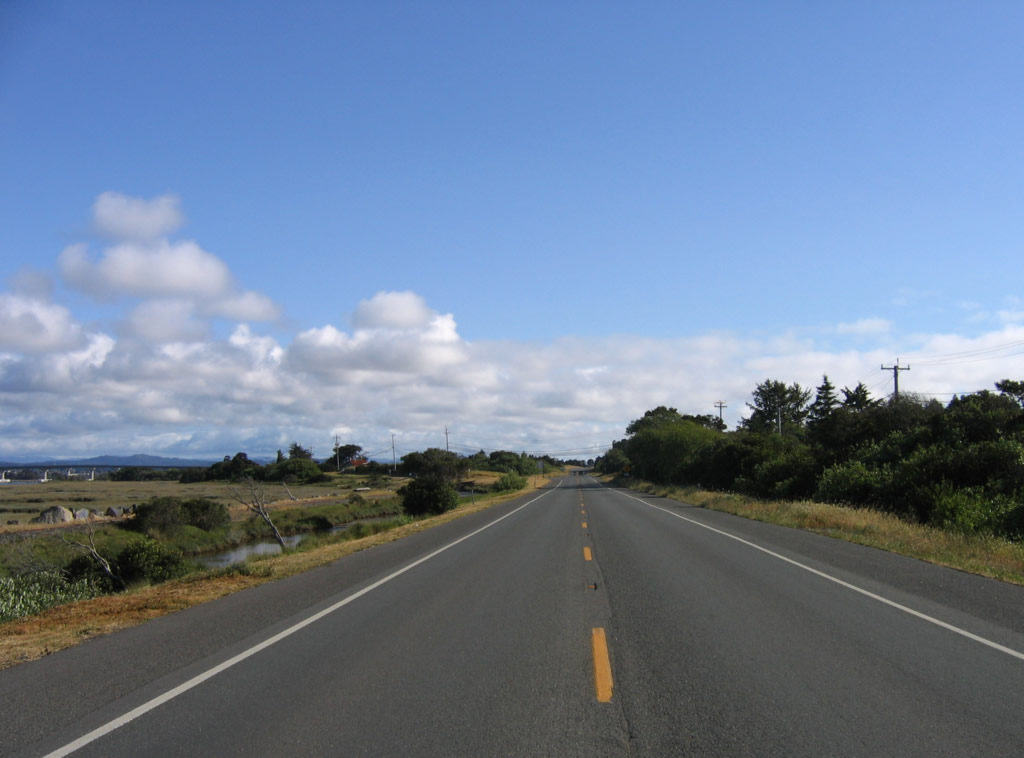
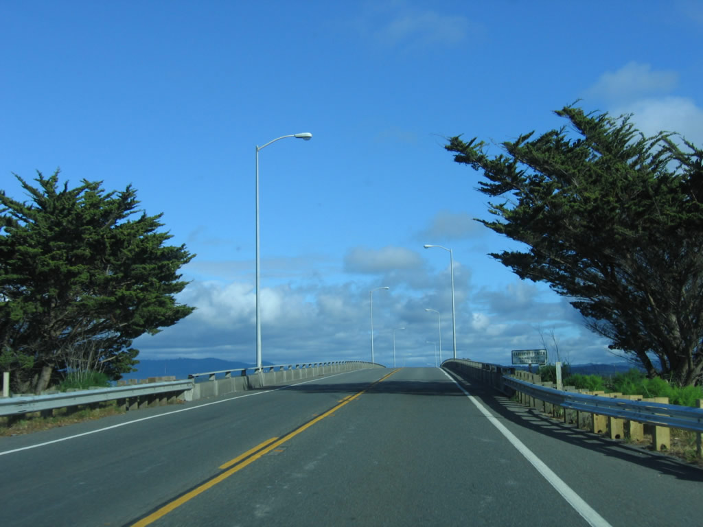
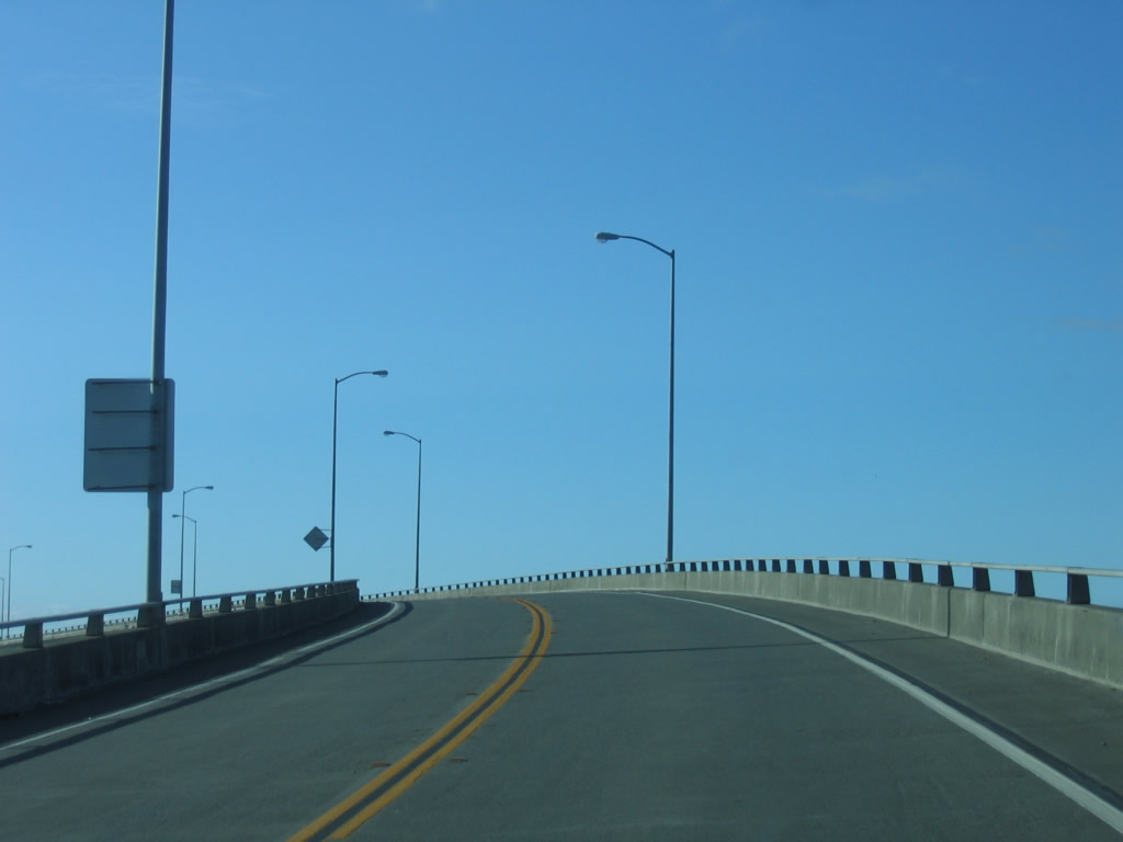
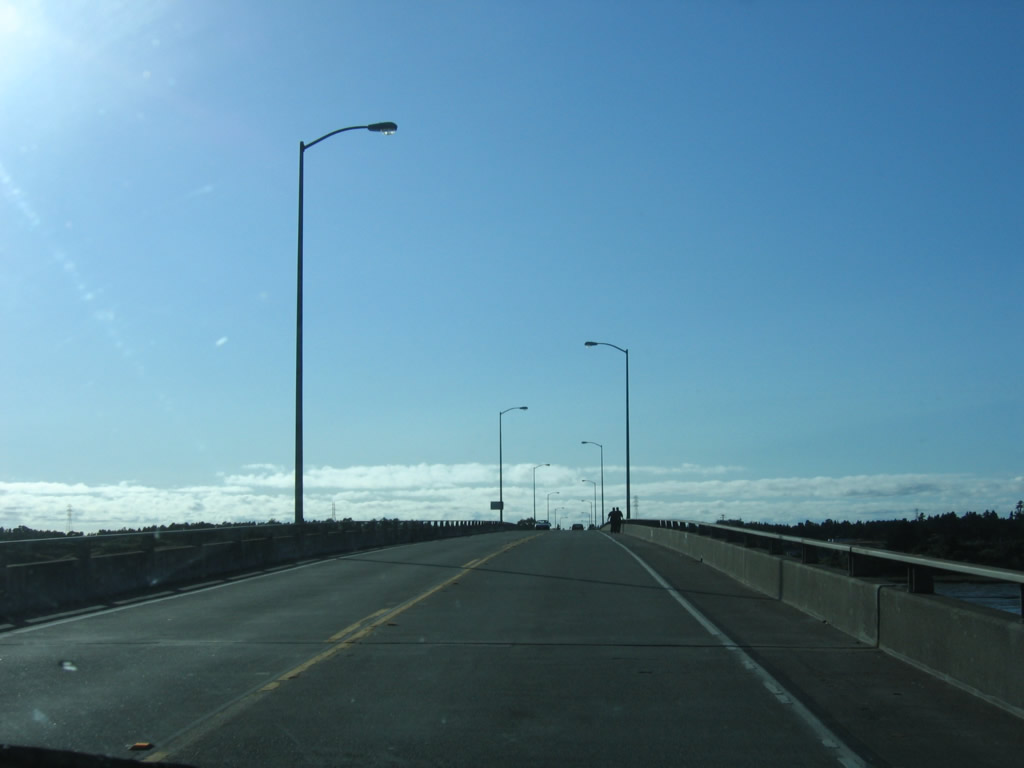
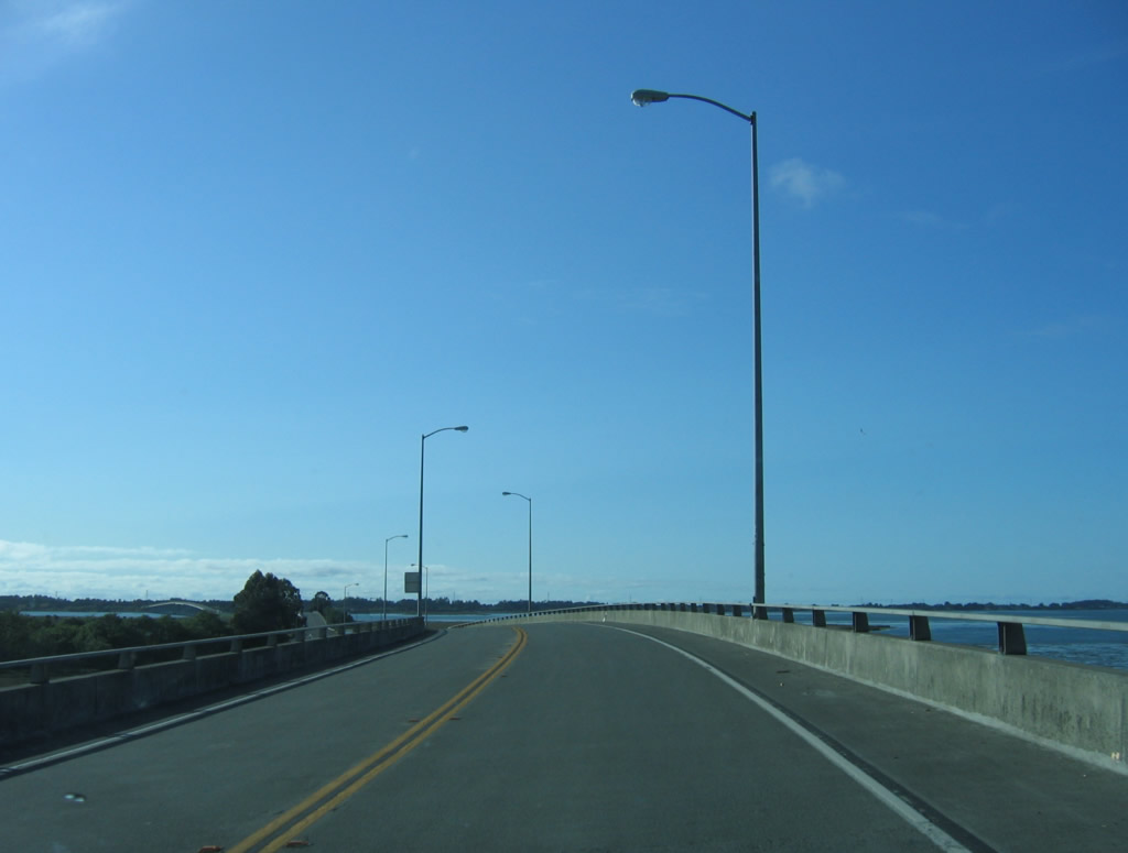
This centerline view of southbound California 255 is afforded from a point just south of the Peninsula Drive intersection.
05/28/06
Southbound California 255 prepares to split ahead, with the state highway turning east to return to U.S. 101 and the city of Eureka, the seat of Humboldt County. To connect to the town of Samoa, continue straight ahead.
05/28/06
This California 255 trailblazer points the way for the continuation of the southbound route. This is the only shield with a directional shield banner, although there are only a few reassurance shields along the entire state route.
05/28/06
A flashing beacon governs the flow of traffic at the intersection between California 255 south (east) to Eureka and New Navy Base Road south to Samoa.
05/28/06
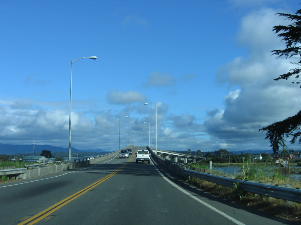
Upon turning, southbound California 255 immediately approaches the triple span bridge that carries the state highway from Samoa east to Eureka.
05/28/06
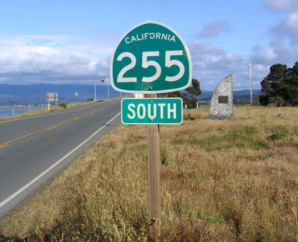
A second California 255 shield is posted as a reassurance marker on the approach to the Samoa Bridge. In the background is a monument identifying the date the bridge opened.
05/28/06
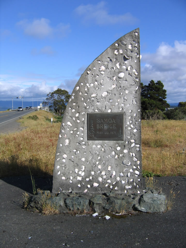
The shell-laced, concrete monument shows that the Samoa Bridge opened to traffic on May 22, 1971, connecting Samoa Boulevard from Arcata with U.S. 101 in Eureka.
05/28/06
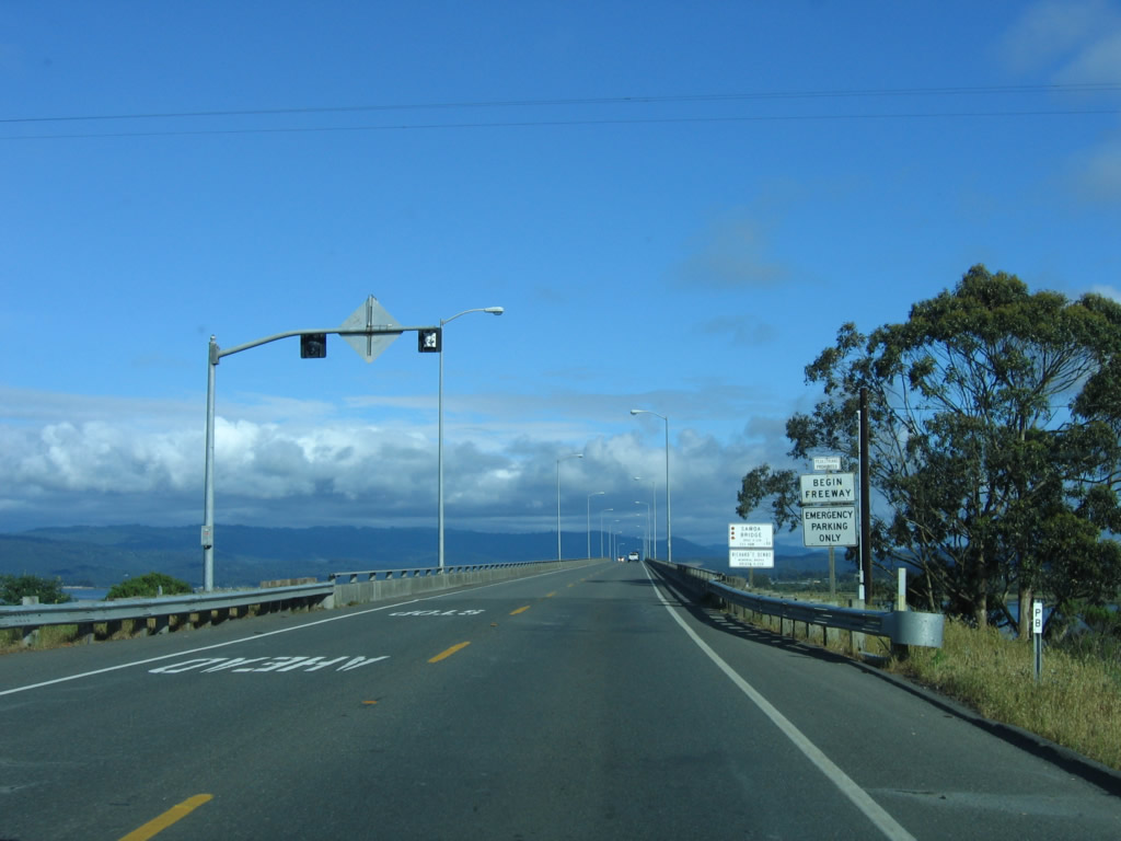
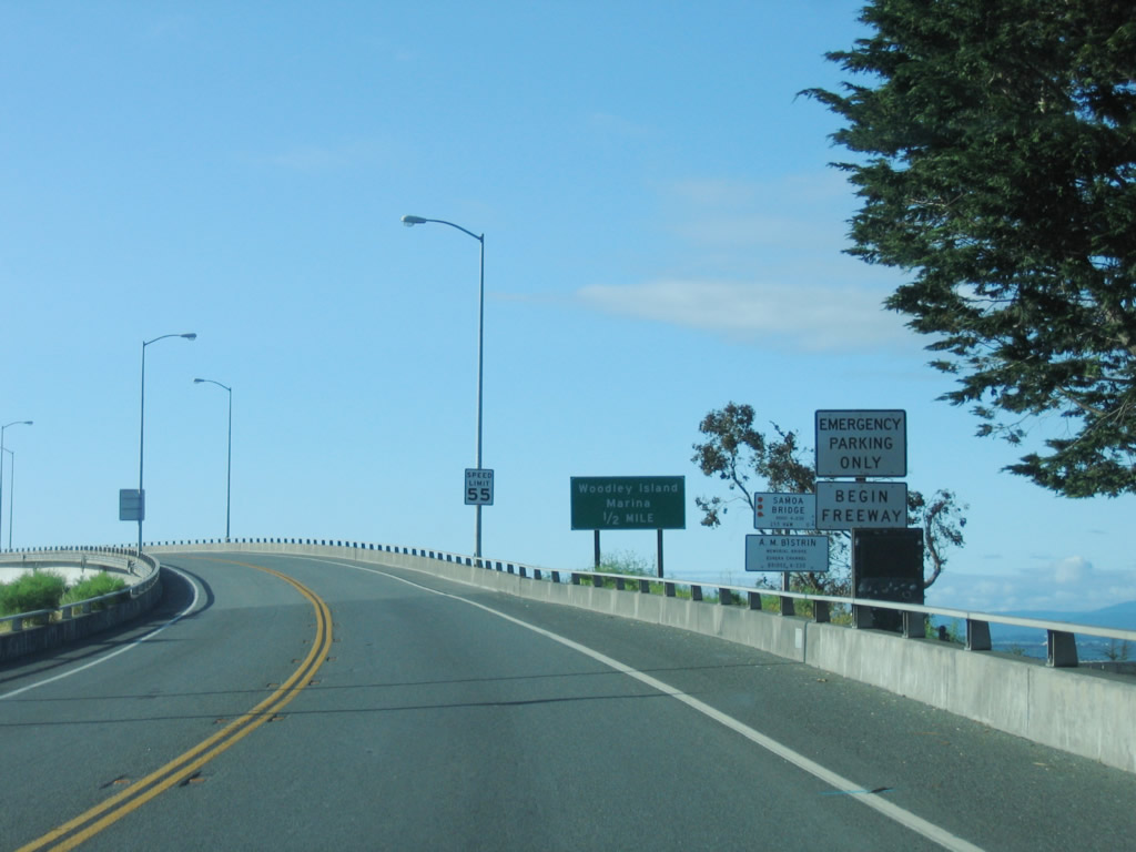
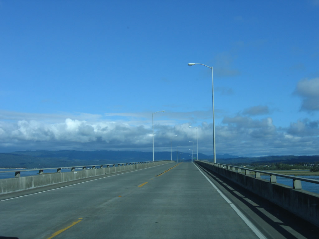
Named in honor of Richard F. Denbo, the Samoa Bridge carries California 255 over Humboldt Bay. A begin freeway sign is posted at the foot of the bridge as California 255 continues east (south) as a two-lane freeway.
05/28/06
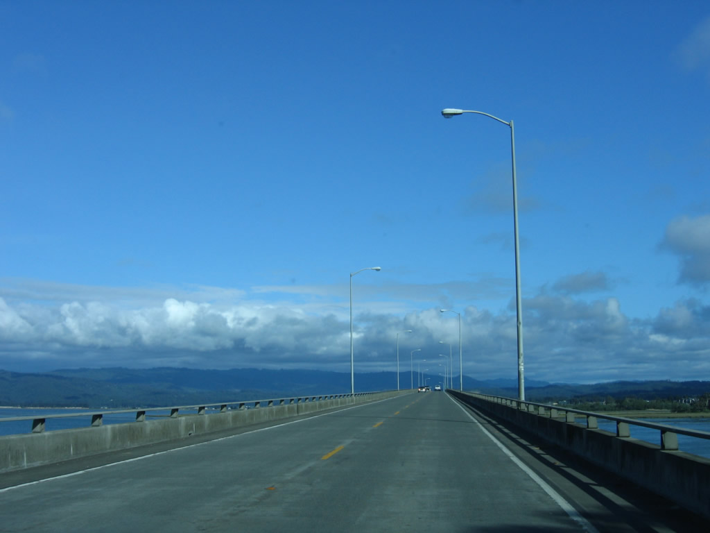
The Richard F. Denbo Memorial Samoa Bridge carries California 255 on the first span of the Samoa Bridge over Humboldt Bay. There are limited shoulders on the bridge. The first span is the longest of the three spans that carry California 255 south (east) to Eureka.
05/28/06
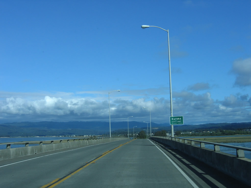
California 255 enters the city of Eureka. Founded on April 18, 1856, Eureka is the largest city on the North Coast and is the seat of Humboldt County. The city is home to 25,579 people as of 2005 Census estimate, which is a decrease from the population of 26,128 people at the 2000 Census.
05/28/06
Now on the descent of the first span, southbound California 255 approaches Indian Island.
05/28/06
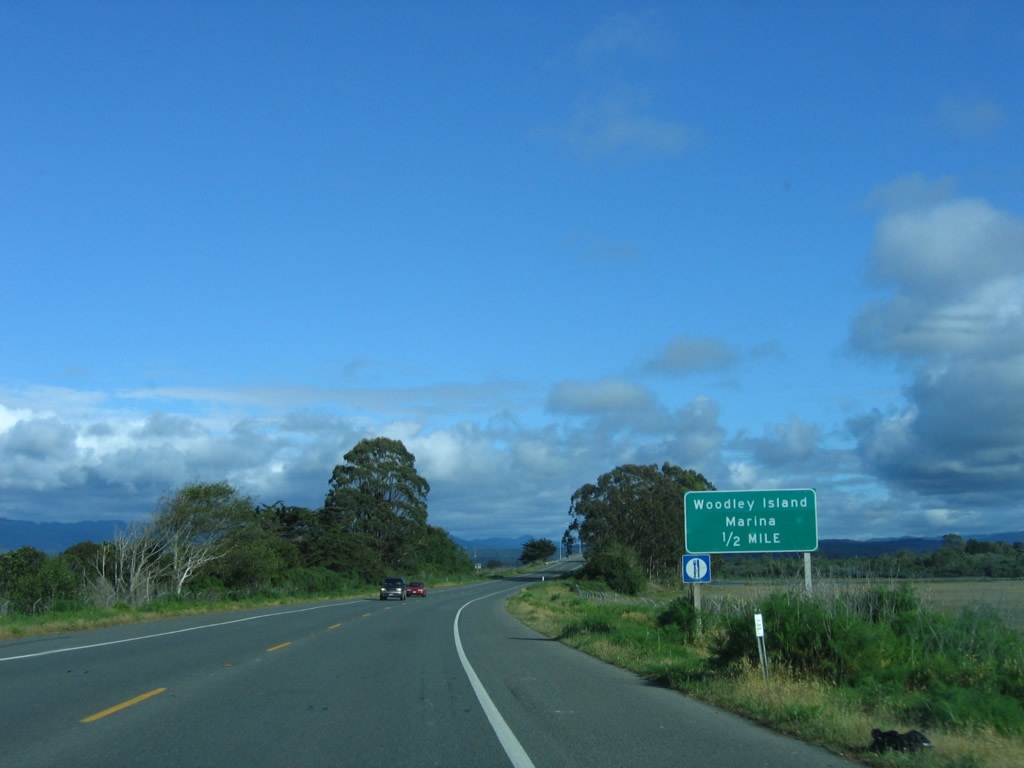
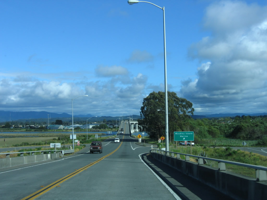
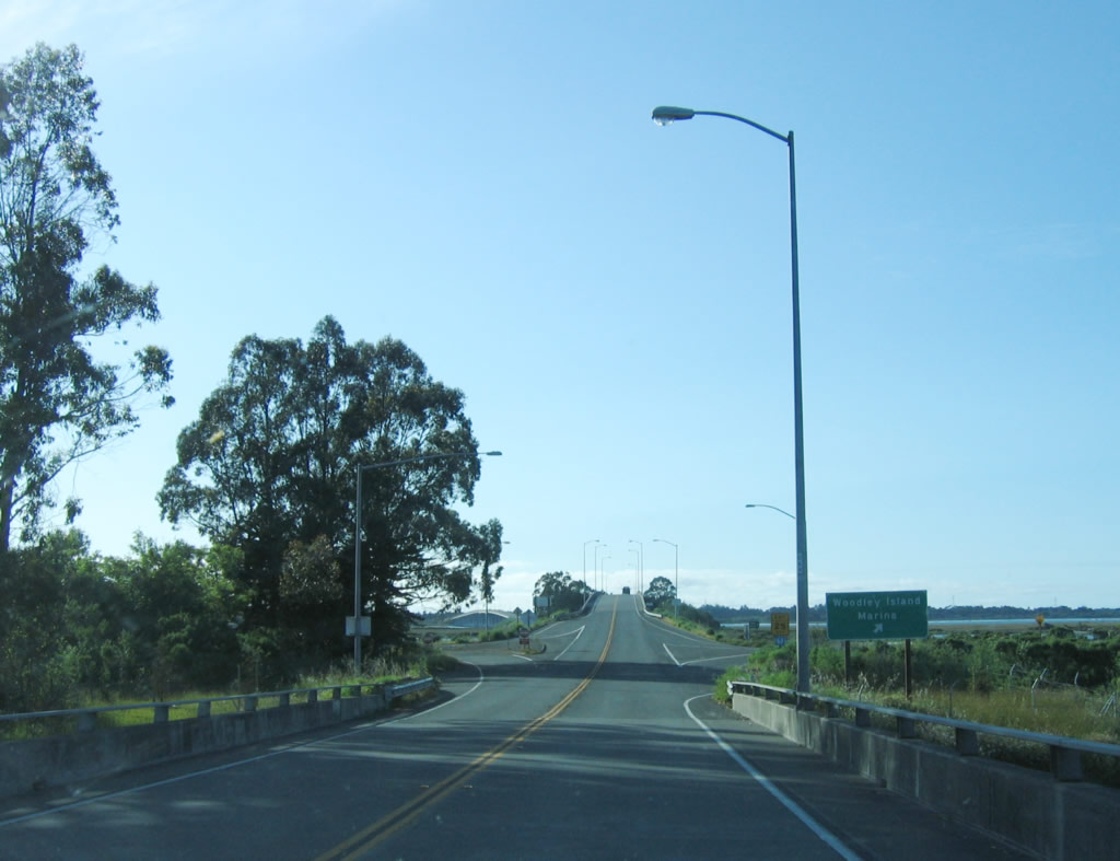
The next exit on southbound California 255 is for the Woodley Island Marina, one-half mile.
05/28/06
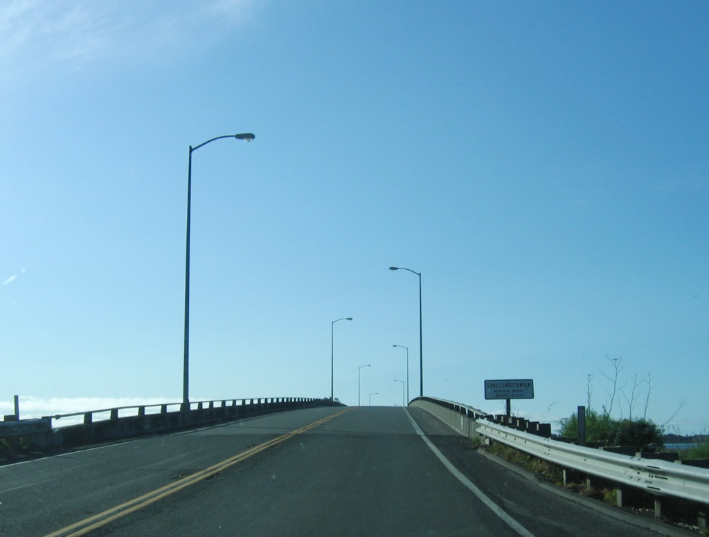
The second span of the California 255 Samoa Bridge is named in honor of Carl Christensen.
05/28/06
Traveling over the Carl Christensen Memorial Bridge, California 255 south approaches Woodley Island.
05/28/06
Southbound California 255 - Samoa Bridge reaches the off-ramp for the Woodley Island Marina. No cross traffic is allowed at this interchange. California 255 essentially functions as a Super Two through this interchange.
05/28/06
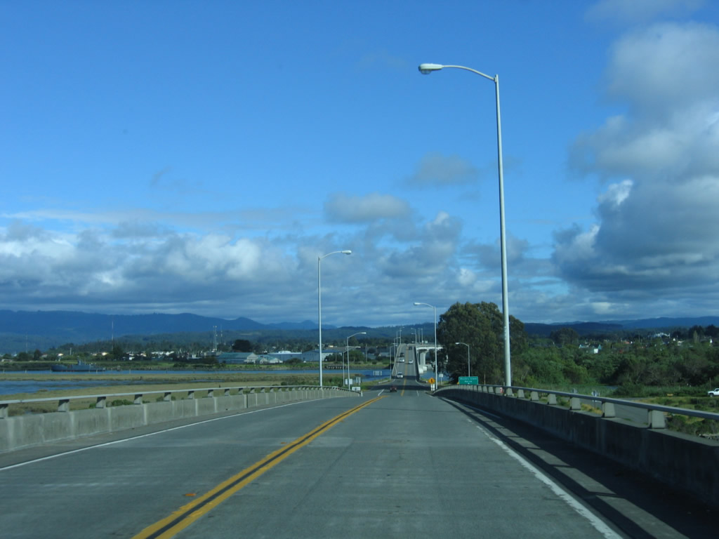
The final span of the Samoa Bridge carries California 255 south from Woodley Island to the mainland and downtown Eureka.
05/28/06
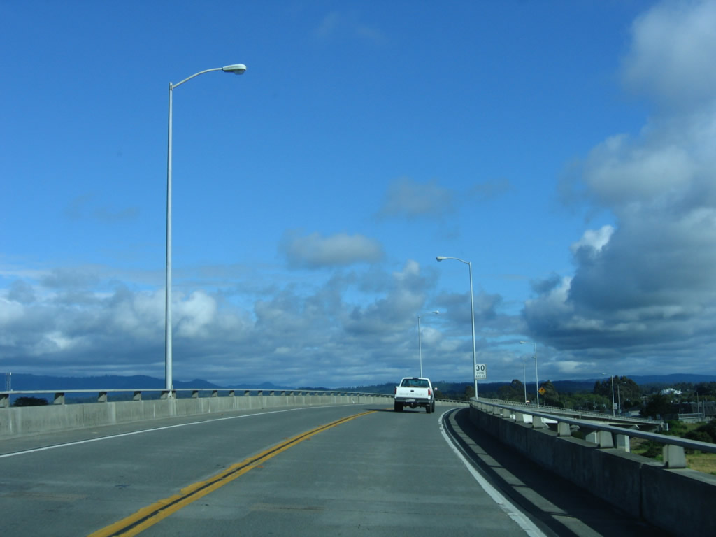
Southbound California 255 approaches downtown Eureka on the final span of the Samoa Bridge; the speed limit diminishes accordingly.
05/28/06
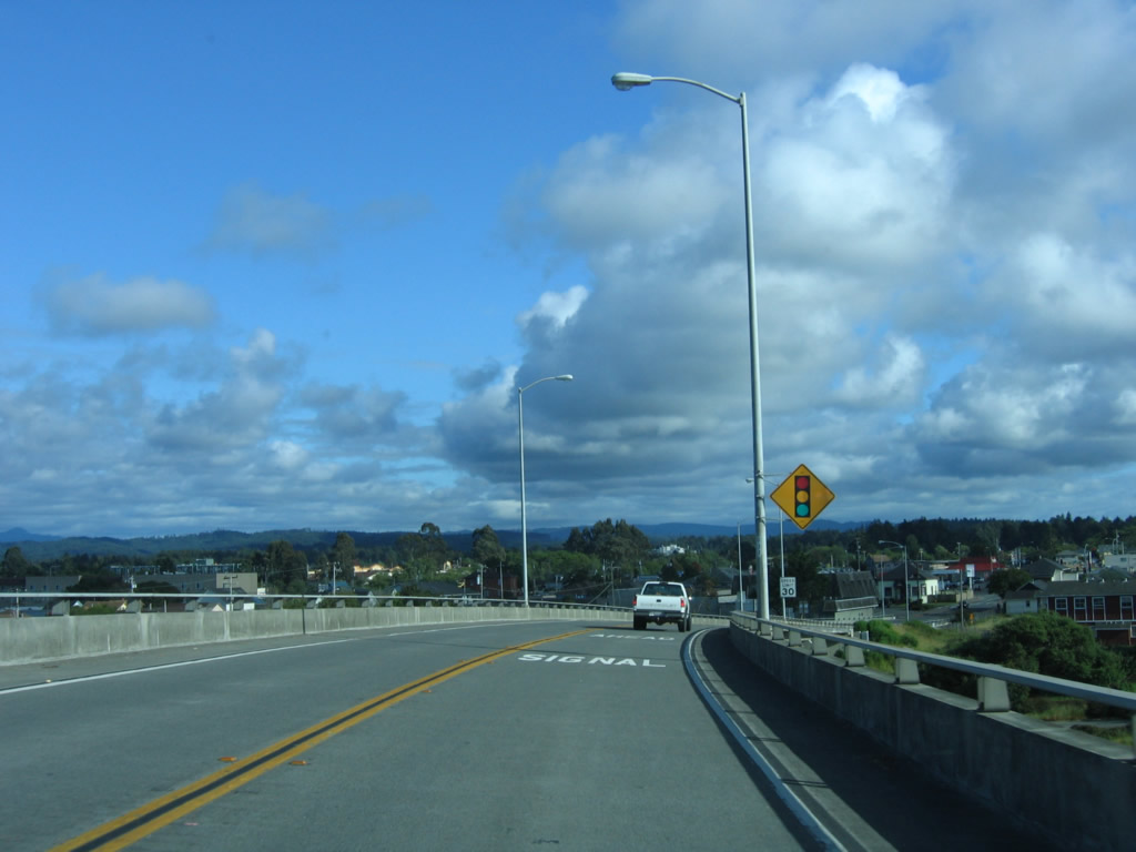
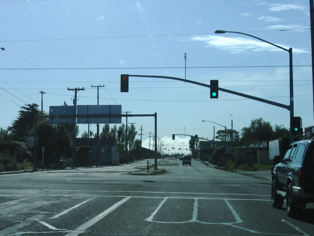
A traffic signal ahead sign is posted on southbound California 255 for the junction with U.S. 101 in downtown Eureka.
05/28/06
Landing in Eureka, California 255 south proceeds for a few blocks before ending at the intersection with U.S. 101.
05/28/06
Southbound California 255 approaches U.S. 101. The U.S. highway uses a one-way couplet to pass through downtown Eureka, with southbound U.S. 101 using 4th Street and northbound U.S. 101 using 5th Street.
05/28/06
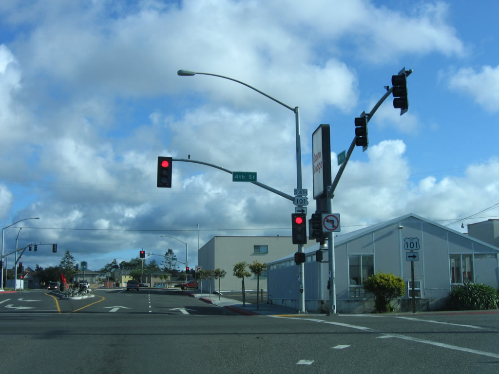
There is no end shield assembly for California 255 at the first U.S. 101 intersection. Here, southbound California 255 meets U.S. 101 south at 4th Street.
05/28/06
The end shield assembly for California 255 is posted at the second U.S. 101 intersection. Here, southbound California 255 meets U.S. 101 north at 5th Street.
05/28/06
After leaving the U.S. 101 intersection, California 255 travels west on the first of three bridges to cross Humboldt Bay. The bridge lands on Woodley Island. The bridge is considered a freeway as noted by the Begin Freeway sign.
05/28/06
Continuing north (west), California 255 carries two lanes over Humboldt Bay on its way to Woodley Island.
05/28/06
Northbound (westbound) California 255 reaches the Woodley Island marina exit ramp. Despite the interchange, California 255 remains a Super Two freeway.
05/28/06
The next bridge connects Woodley Island with Indian Island via Carl Christensen Memorial Bridge.
05/28/06
Leaving Indian Island, California 255 approaches the third of three bridges that connects the highway to Samoa.
05/28/06
The Richard F. Denbo Memorial Samoa Bridge carries California 255 on the last span of the Samoa Bridge over Humboldt Bay. There are limited shoulders on the bridge. This is the last span traveling west over Humboldt Bay.
05/28/06
After leaving the Samoa Bridge, California 255 prepares to turn north. A left turn ahead connects to Samoa; a right turn leads toward Manila.
05/28/06
Turn right to follow California 255 northeast to Arcata; turn left to the town of Samoa.
05/28/06
Northbound California 255 approaches Peninsula Drive just north of Samoa and south of Manila.
05/28/06
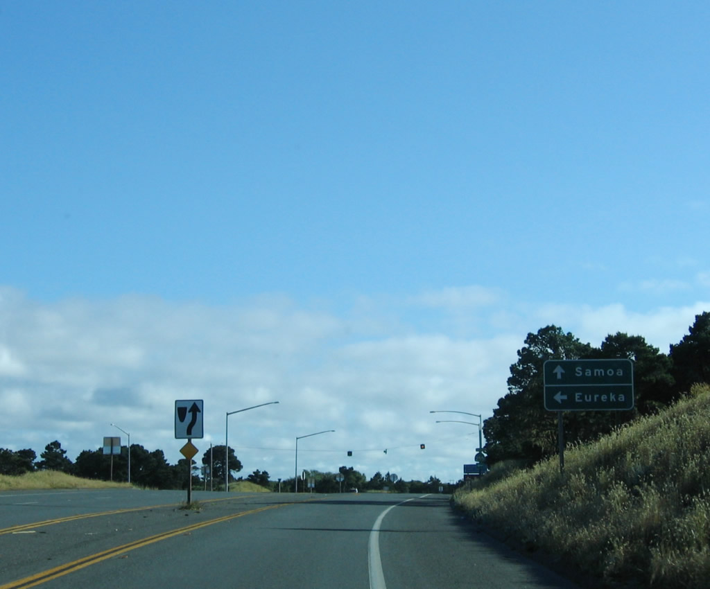
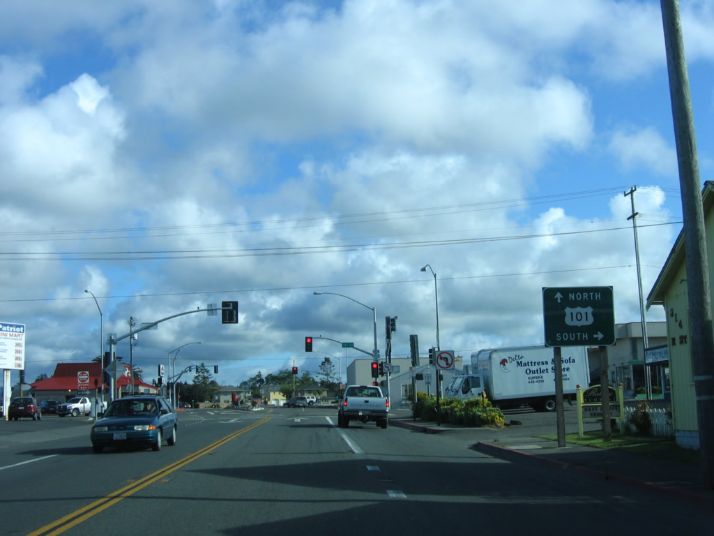
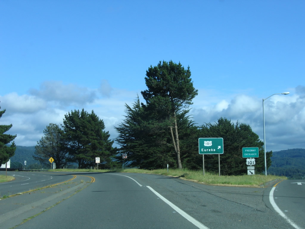
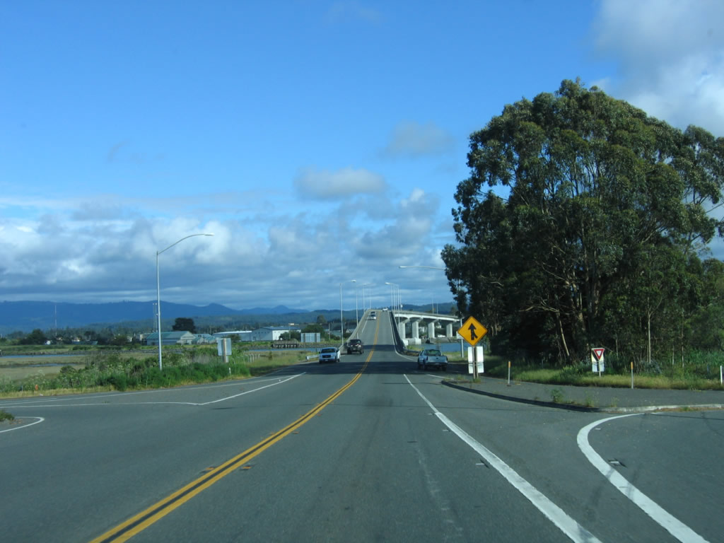
Now traveling due east, northbound California 255 (Samoa Boulevard) approaches U.S. 101 (Redwood Highway) at Exit 713 in Arcata. The first ramp connects to U.S. 101 south to Eureka, while the second ramp connects to U.S. 101 north to Crescent City in Del Norte County.
05/28/06
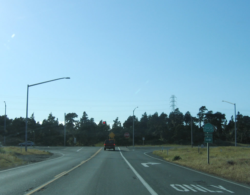
Northbound California 255 (Samoa Boulevard) approaches U.S. 101 (Redwood Highway) south to Eureka. The state route reduces to one lane eastbound; the next ramp connects to U.S. 101 north to Crescent City in Del Norte County (right exit/loop ramp).
05/28/06
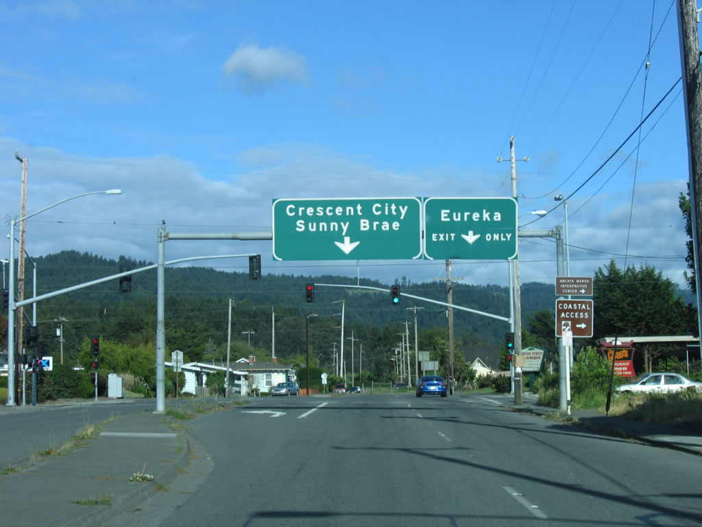
Shortly thereafter, northbound California 255 (Samoa Boulevard) reaches U.S. 101 (Redwood Highway) north to Crescent City in Del Norte County (note the addition of the right lane, which enters from U.S. 101 southbound). Continue straight ahead to follow Samoa Boulevard east to Sunny Brae.
05/28/06
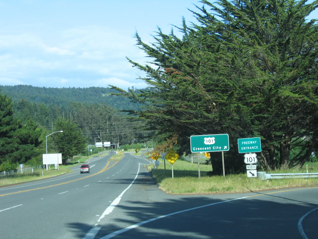
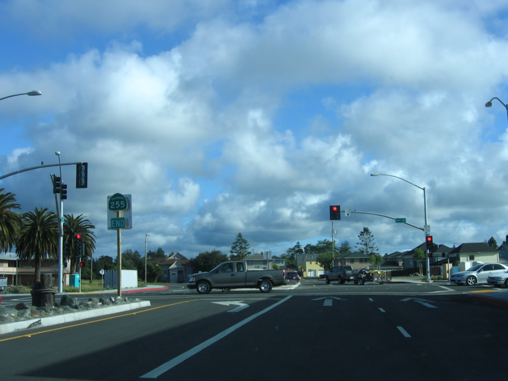
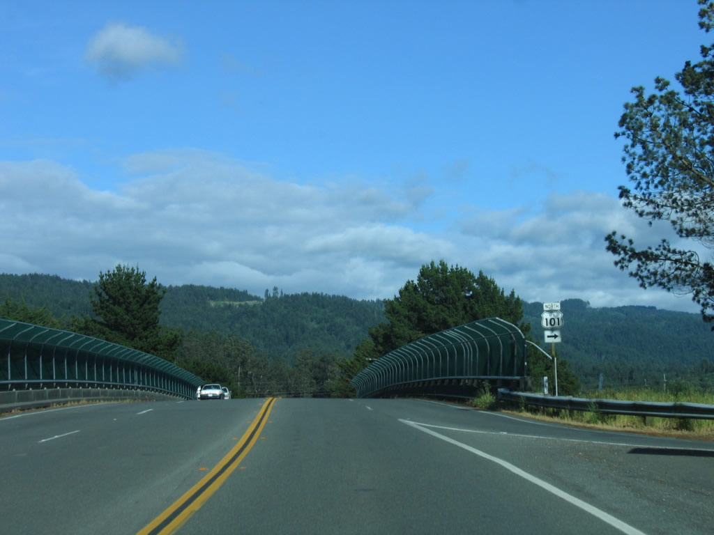
California 255 comes to an end at the ramp to U.S. 101 (Redwood Highway) north to Crescent City. If you were to continue to the east, Samoa Boulevard will aim southeast, transitioning onto Old Arcata Road (which provides an alternative to U.S. 101 between Eureka and Arcata).
05/28/06
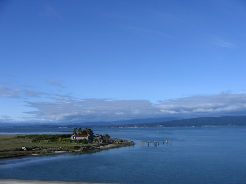
Looking north from the Samoa Bridge is this view of Humboldt Bay.
05/28/06
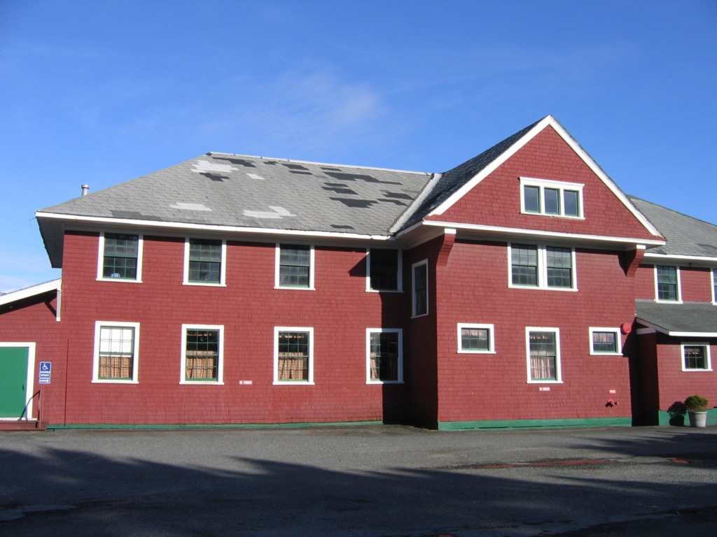
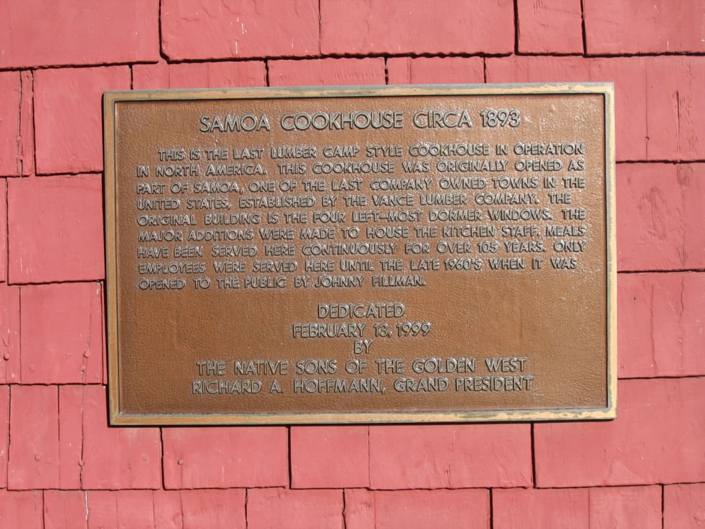
The historical Samoa Cookhouse is located in the town of Samoa south of the California 255 turnoff. The cookhouse is still open as a family style restaurant.
05/28/06
Photo Credits:
- Andy Field: 05/28/06
Connect with:
Page Updated Wednesday August 29, 2007.