
State Route 270
The first 9.81 miles of Bodie Road leading east from U.S. 395 toward Bodie State Historical Park are designated State Route 270. The remainder of Bodie Road east across the Bodie Hills to the park are unpaved and not part of the state highway system. The state park preserves an old ghost town in Bodie.
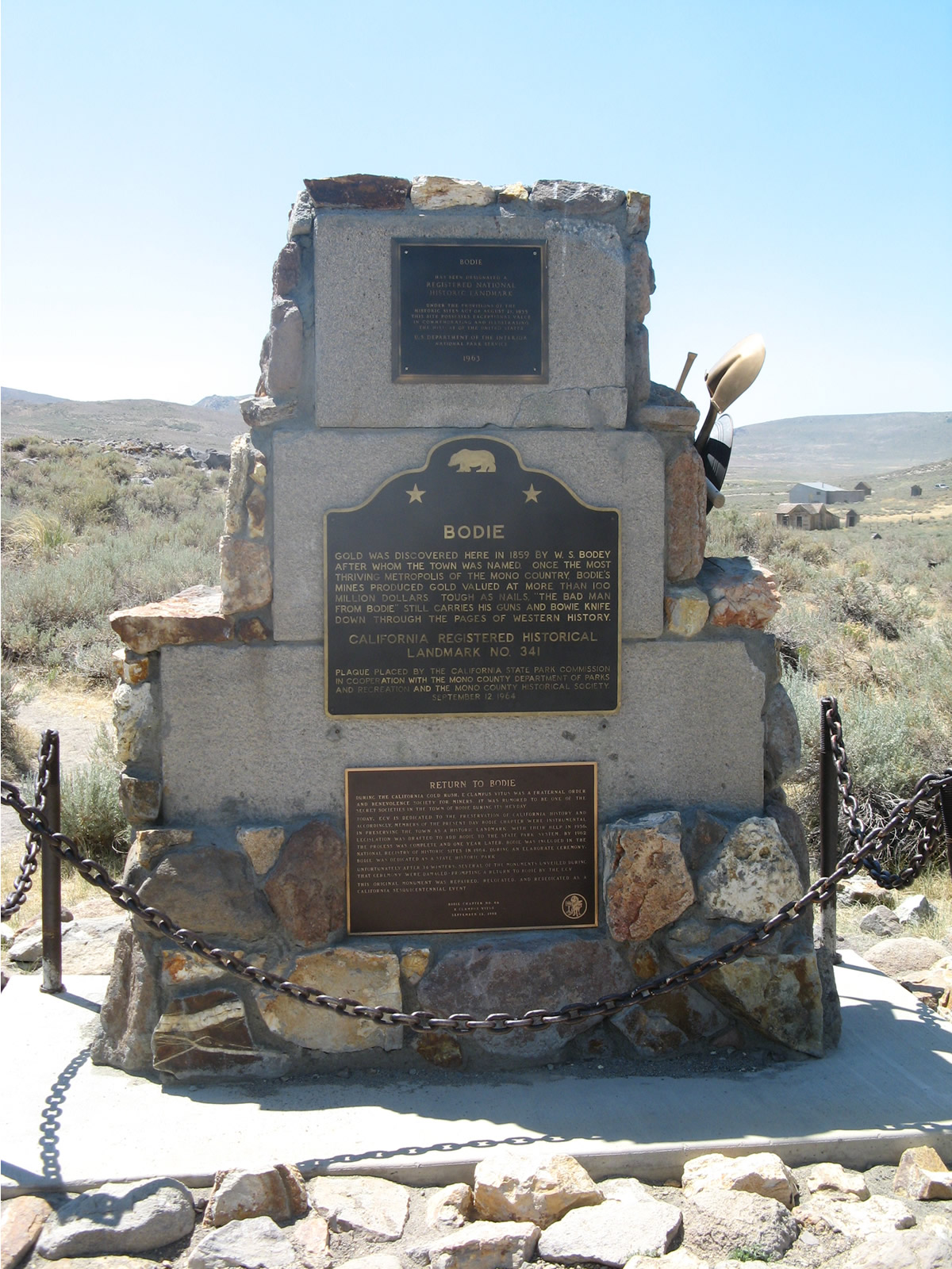
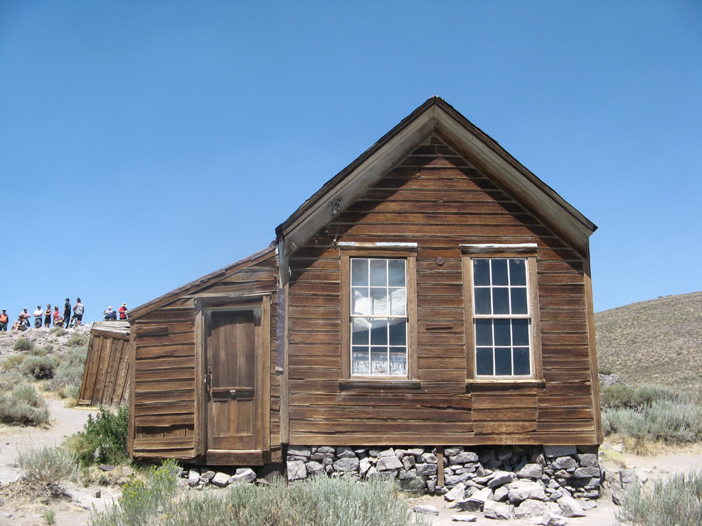
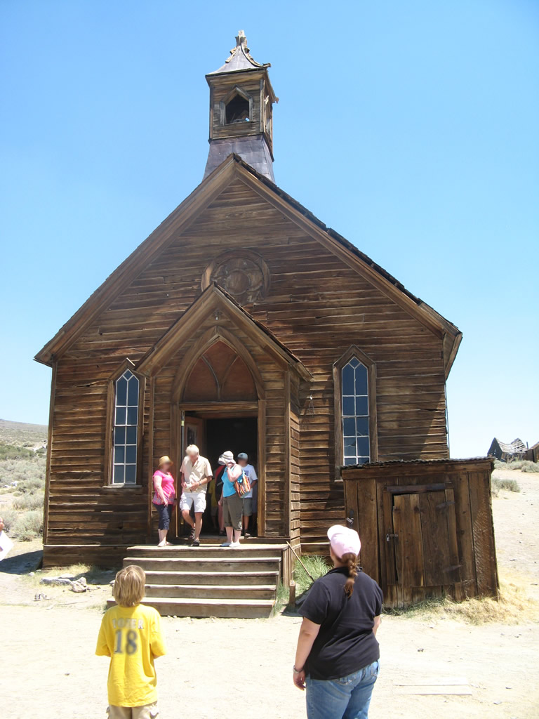
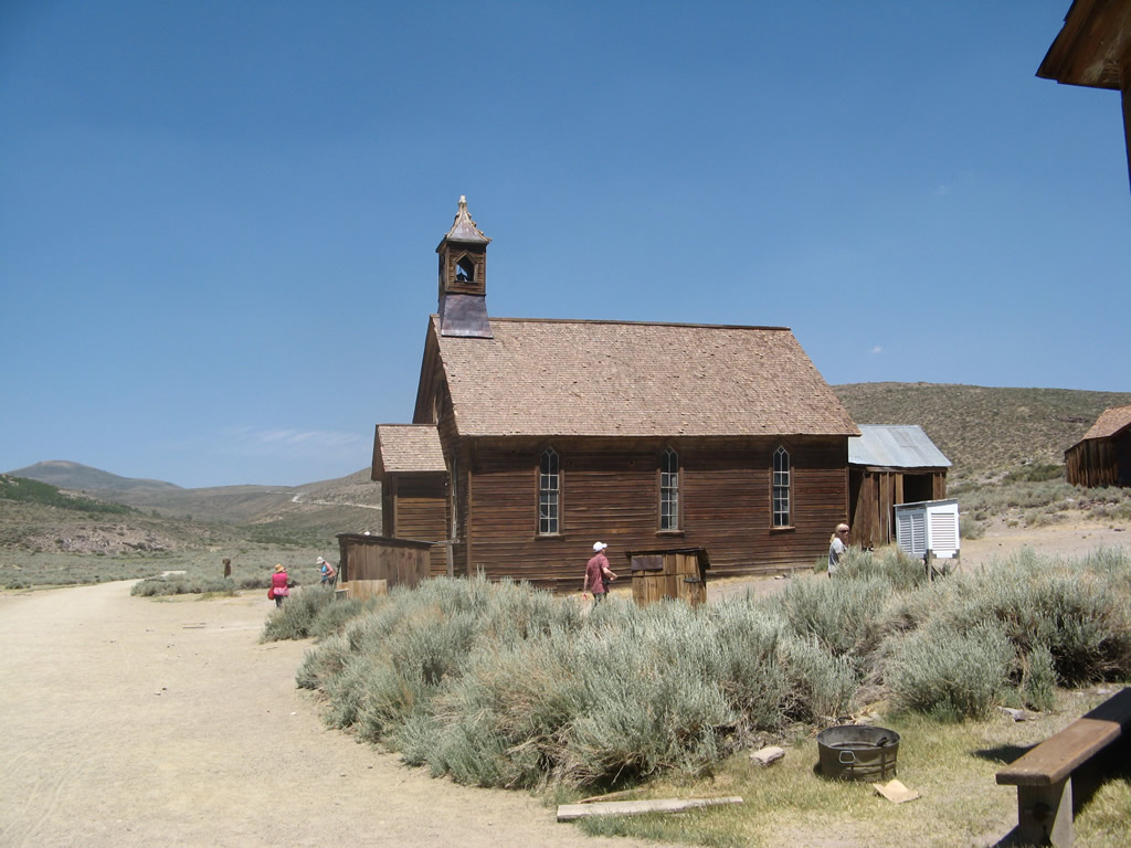
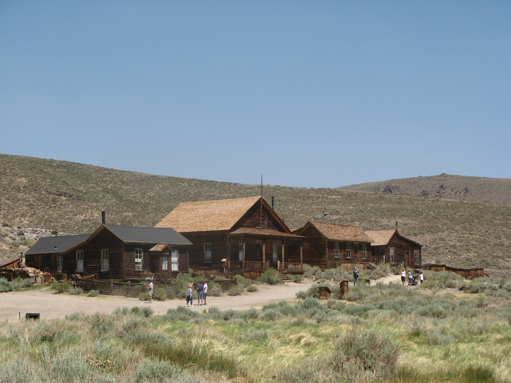
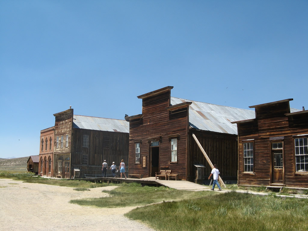
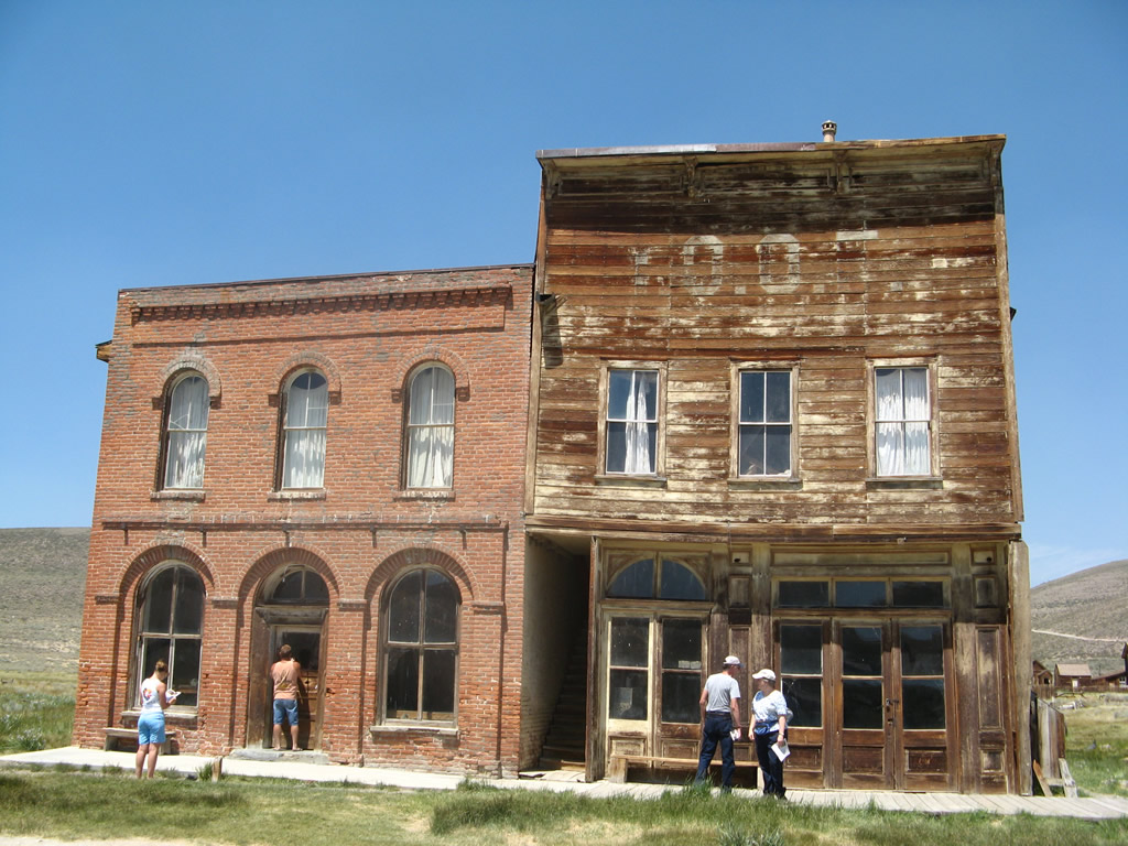
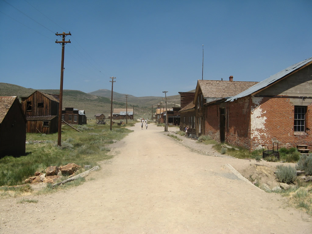
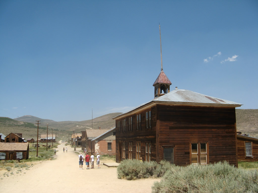
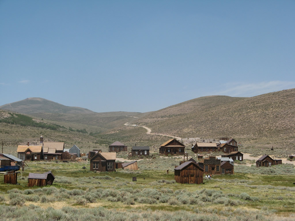
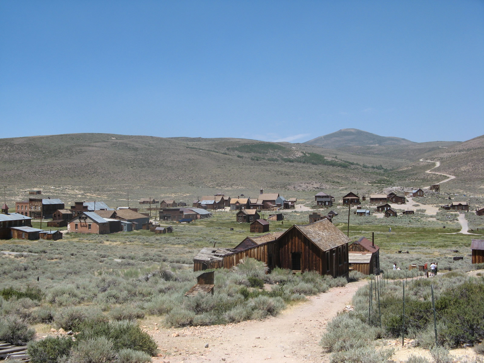
The abandoned town of Bodie left is preserved as it was when the park was established in 1962. Visitors can walk through the remains of the former mining town, which was founded by Waterman S. Body (William Bodey) in 1859. The population grew to nearly 10,000 people after the discovery of gold in 1875 and purchase of the mine by Standard Company in 1877.
SR 270 spurs 9.81 miles east along Bodie Road from U.S. 395 to the end of pavement in the Bodie Hills. The final three miles of Bodie Road are unpaved yet groomed for most vehicles to use.
07/09/07
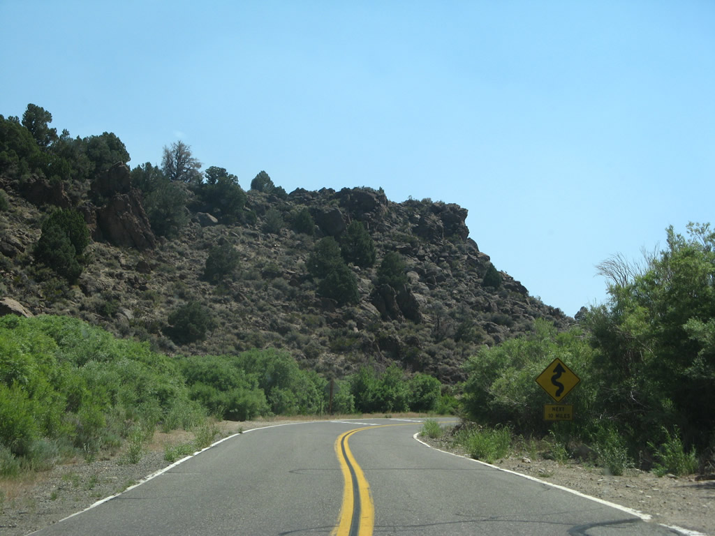
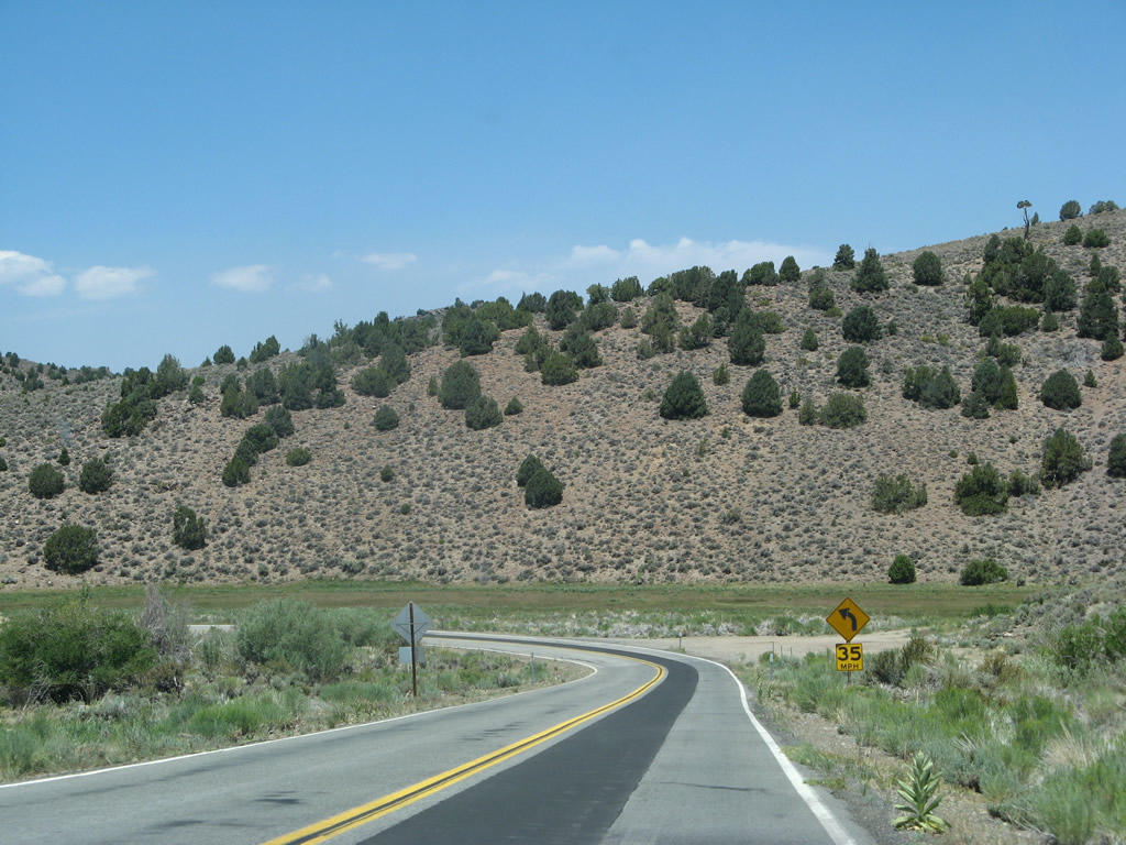
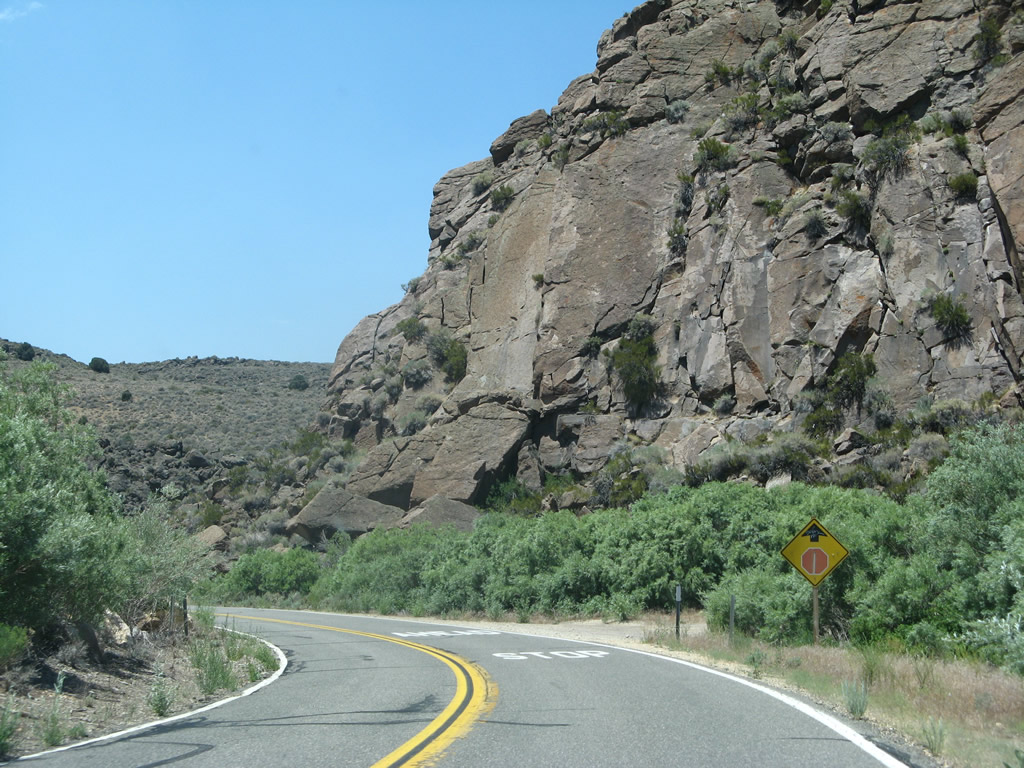
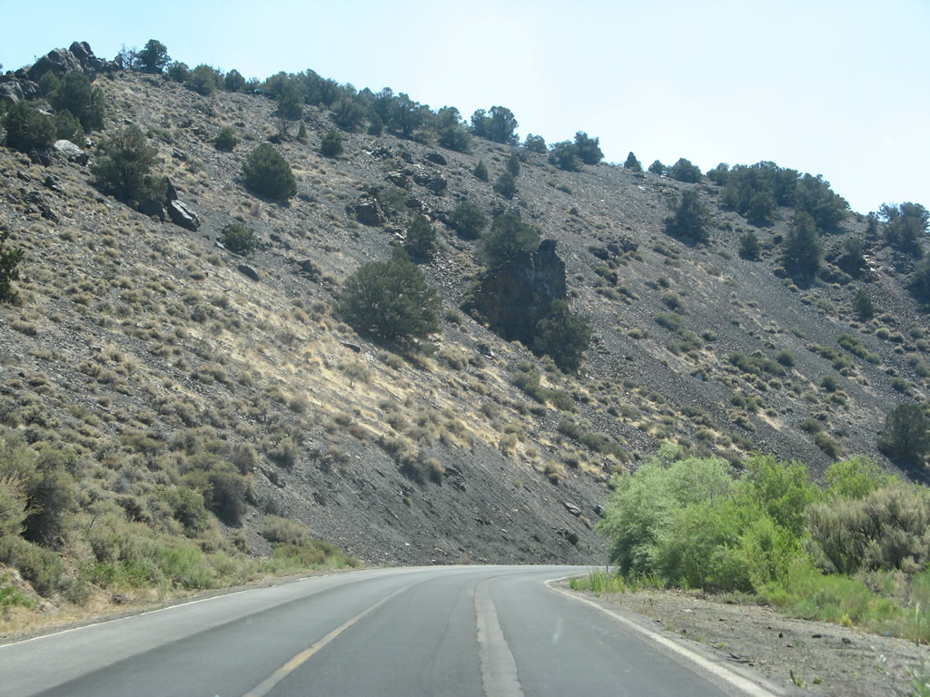
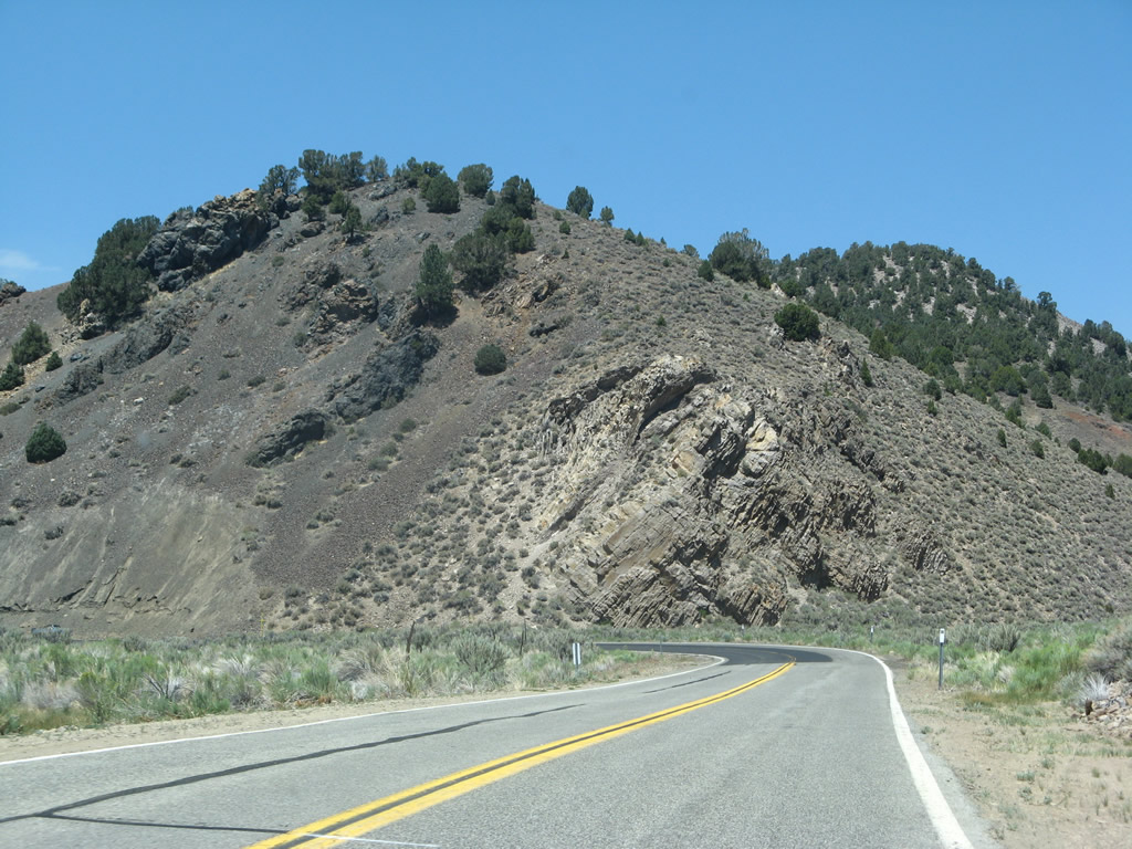
Amid the volcanic rock on either side of the highway, a warning sign advises that the next ten miles of highway are winding with curves. This is not a high-speed highway similar to U.S. 395.
07/09/07
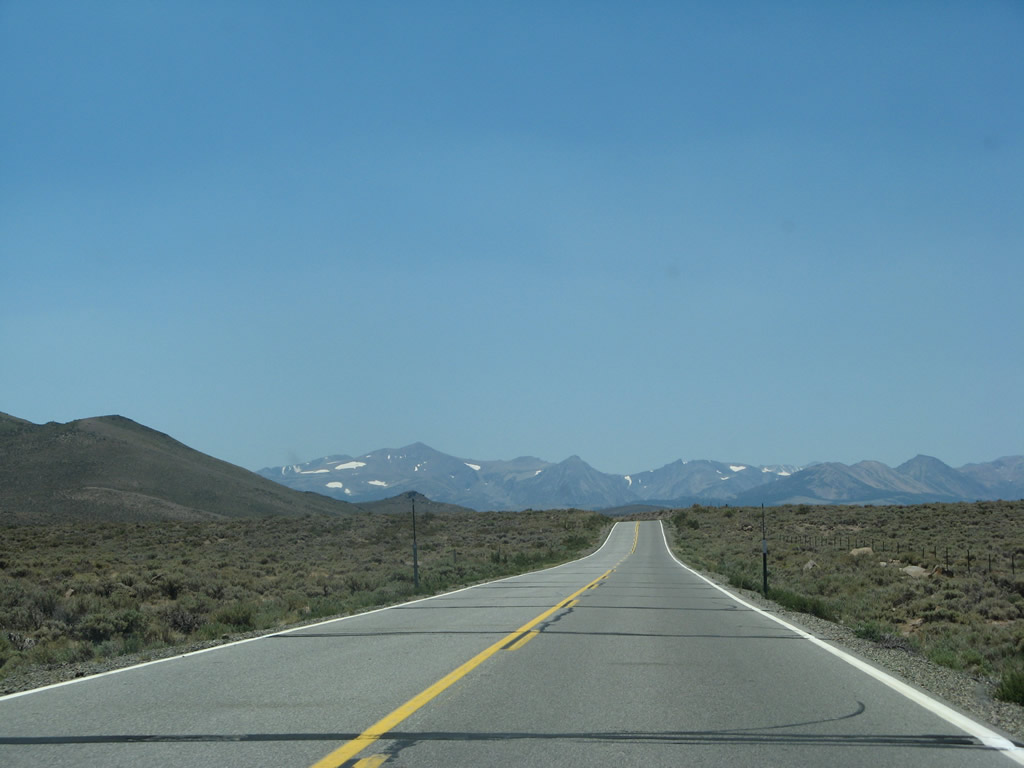
Bodie State Historic Park is the most common destination for traffic on eastbound California 270.
07/09/07
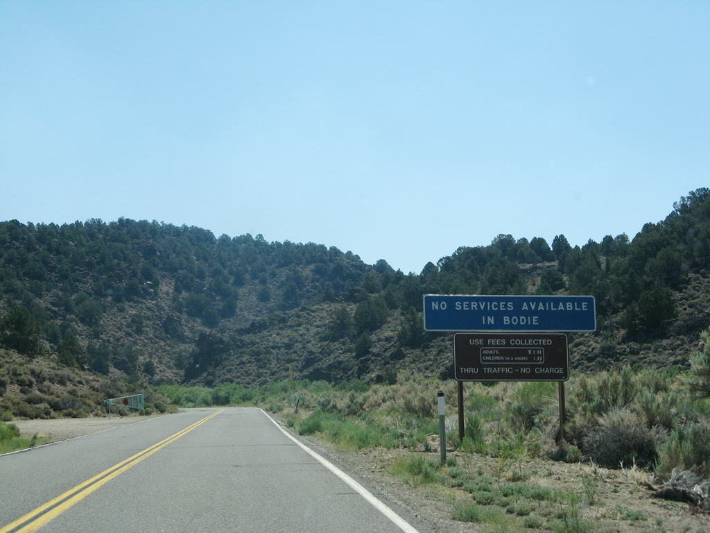
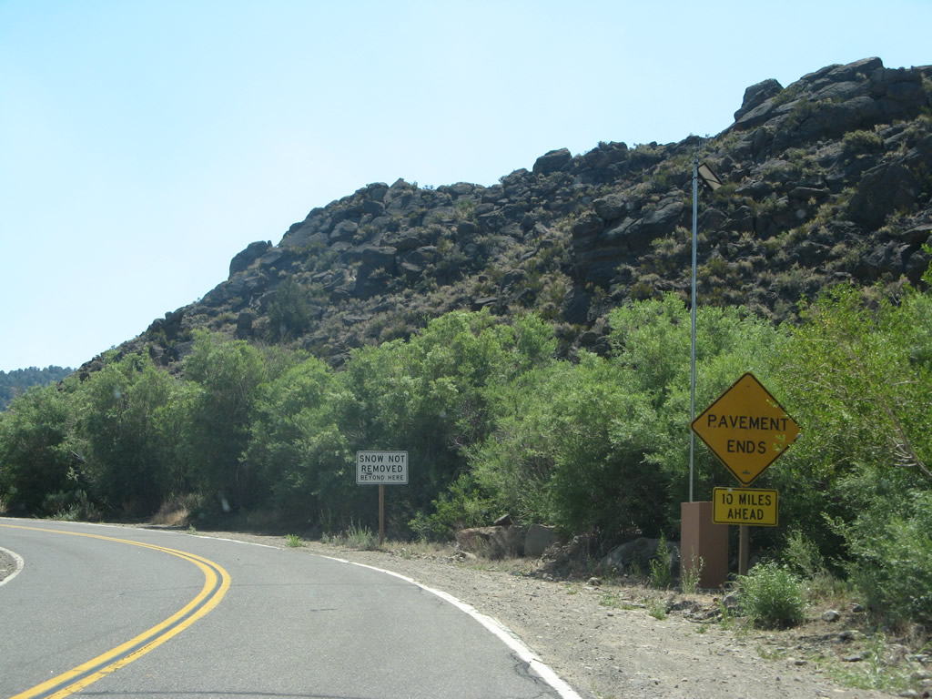
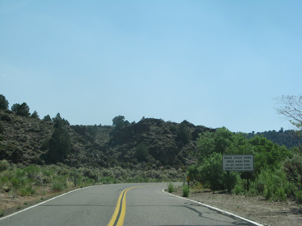
No motorist services (food, gas, lodging) are available in Bodie State Historic Park. A gate at this spot allows for closure of California 270 east of here during inclement weather or significant snowfall. The state route can be used by snowmobiles during winter, thus allowing visitation in winter months.
07/09/07
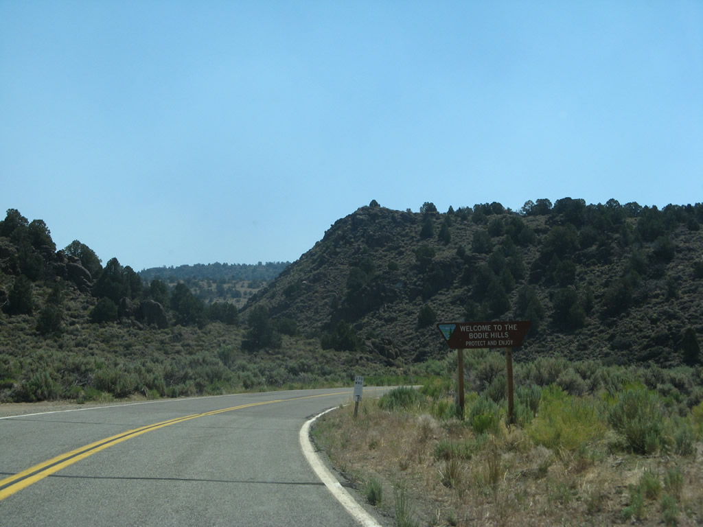
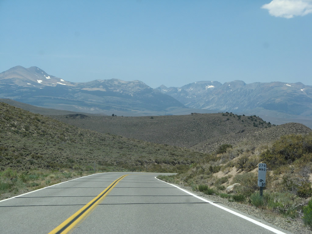
At the 1.00 postmile is a welcome sign for Bodie Hills. This is also the first indication that this road is California 270, since there are no eastbound reassurance shields.
07/09/07
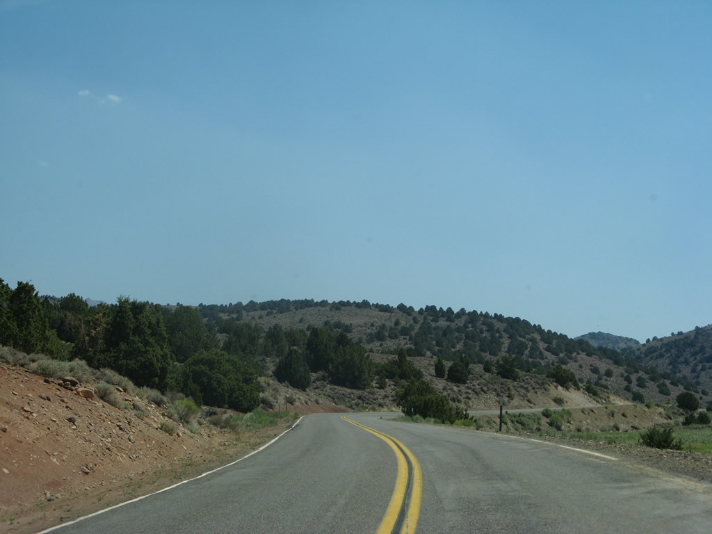
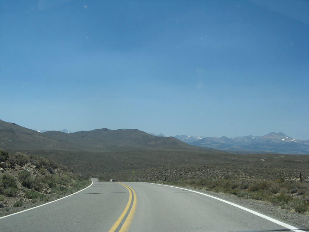
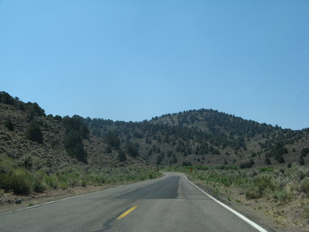
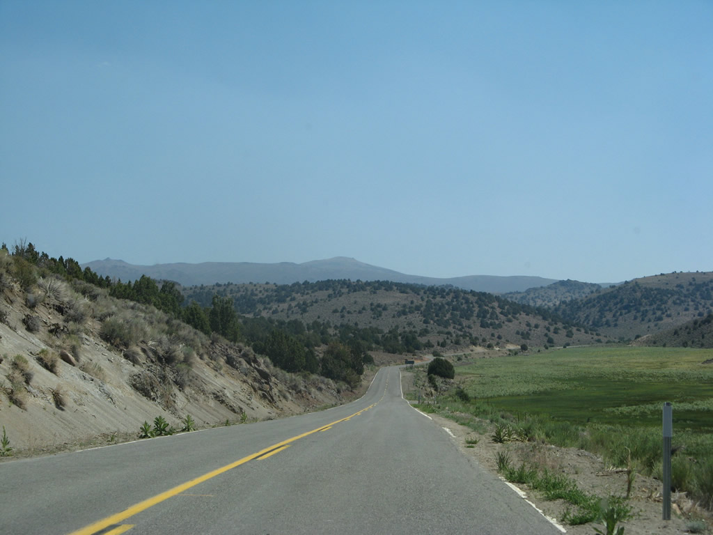
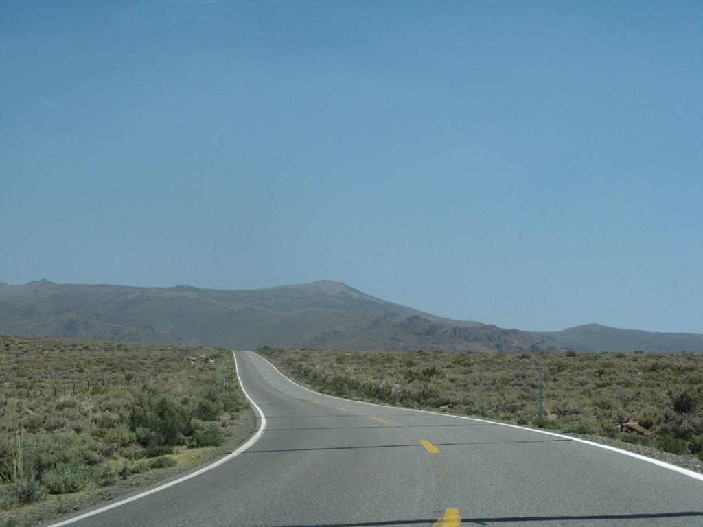
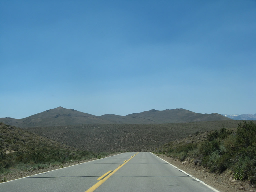
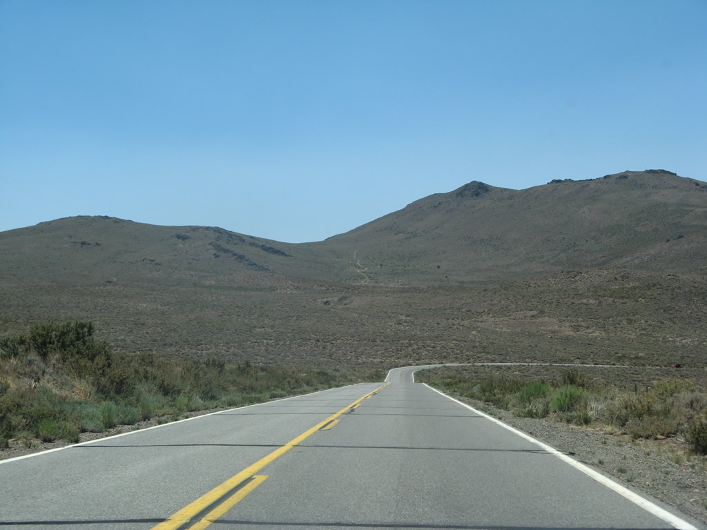
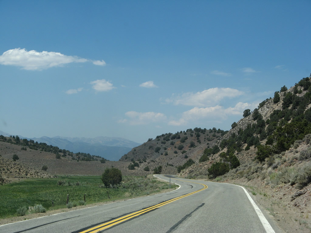
California 270 gradually climbs east toward the Bodie Hills through numerous S-curves and sometimes narrow right of way.
07/09/07
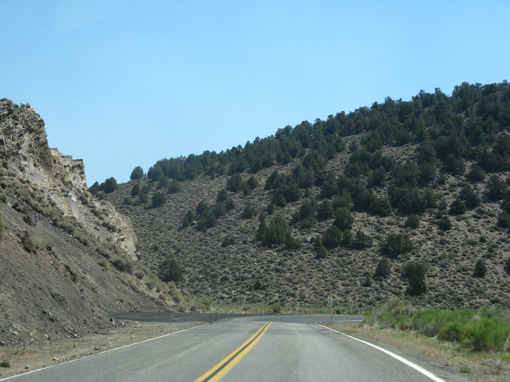
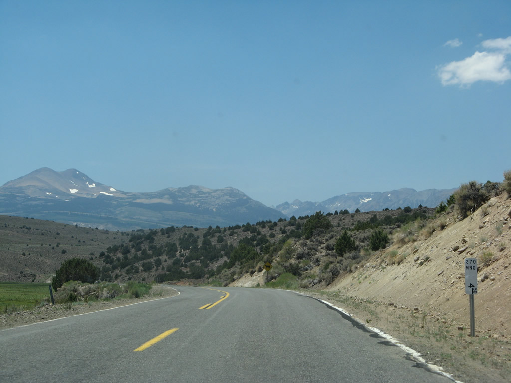
Continuing to parallel Clearwater Creek, SR 270 (Bodie Road) travels eastward by Mormon Meadow.
07/09/07
No longer posted, this distance sign stood near mile post 4.00 at Mormom Meadow.
07/09/07
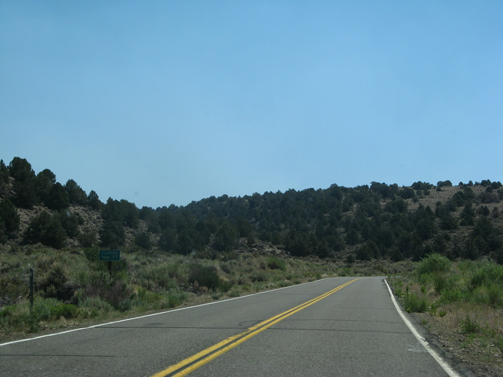
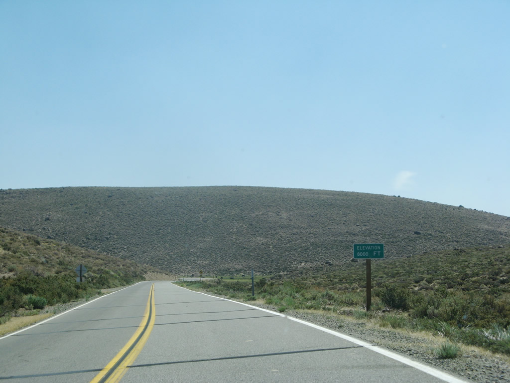
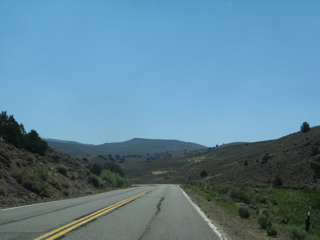
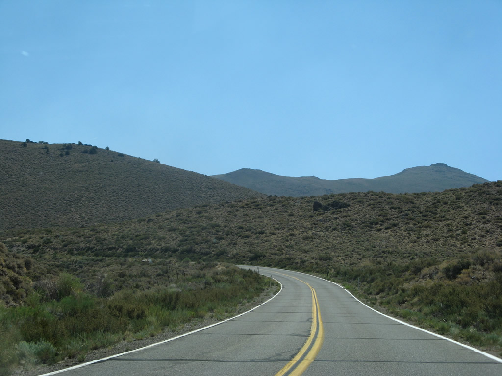
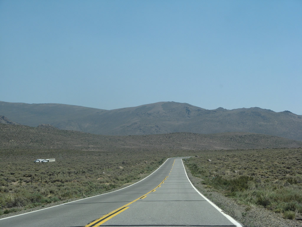
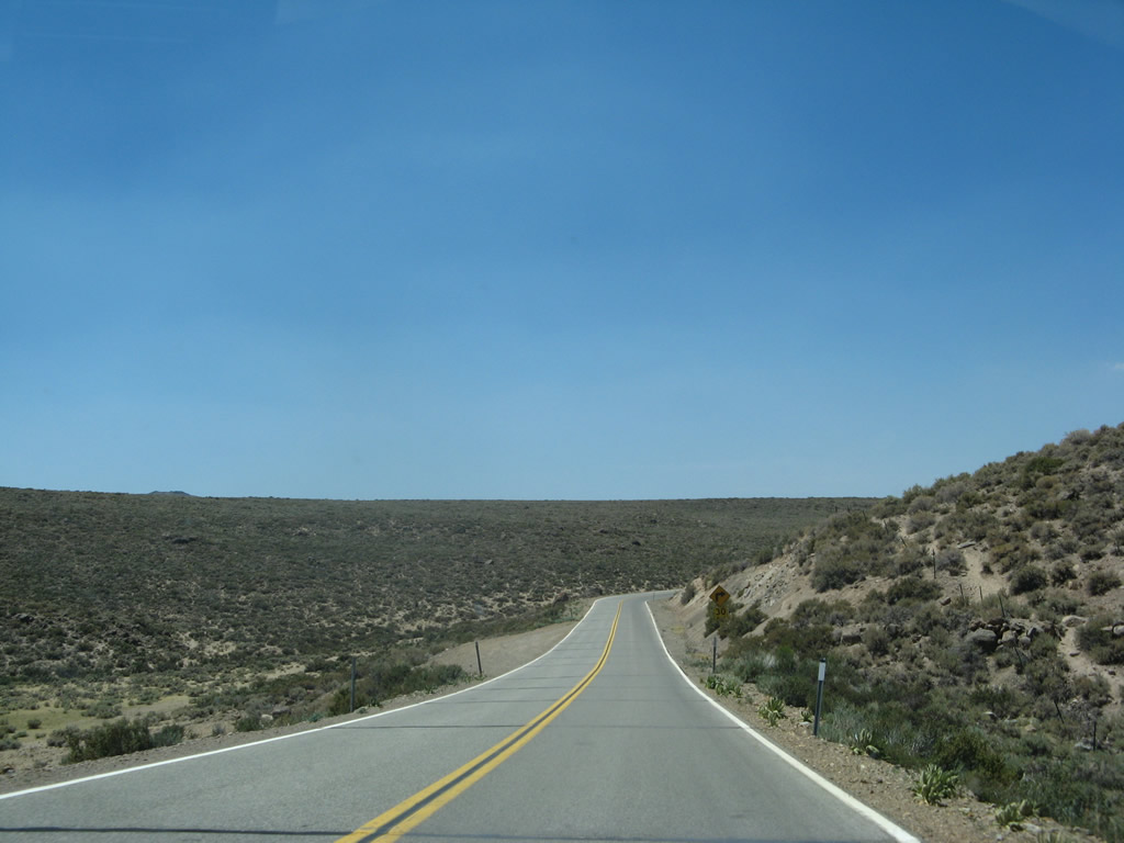
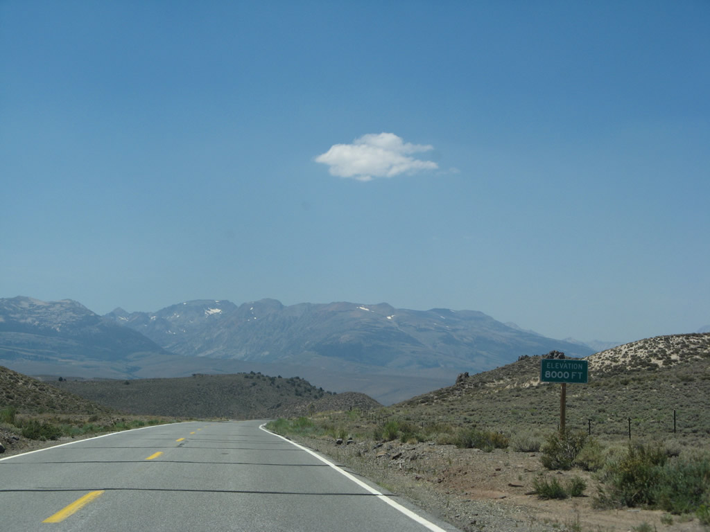
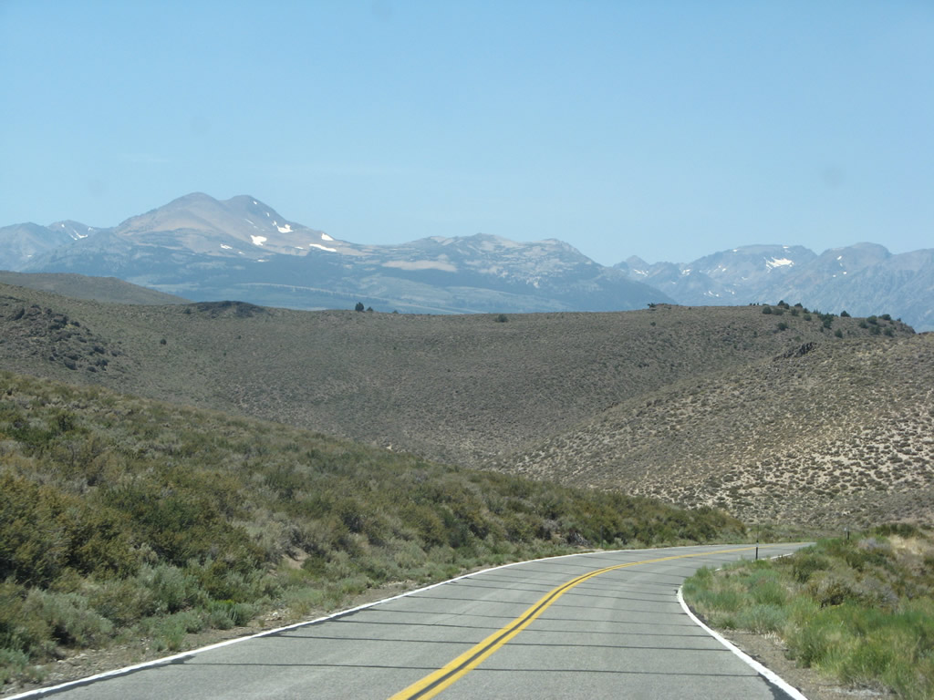
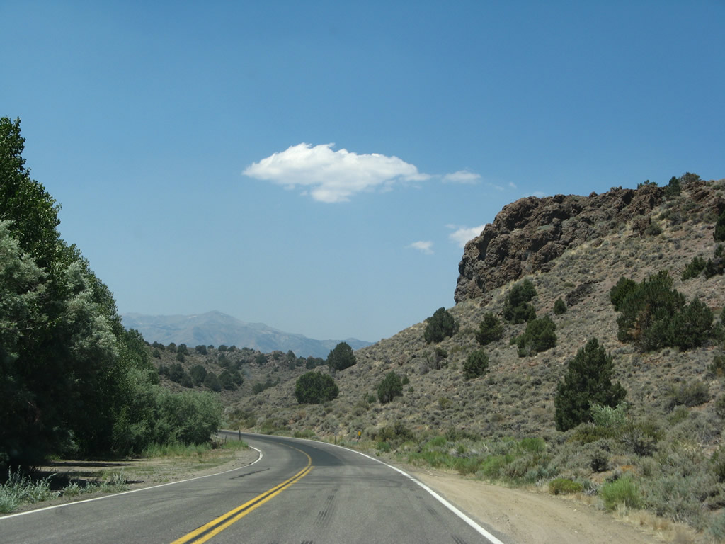
Pulling away from Clearwater Creek, SR 270 gains elevation toward the state park, which sits at an elevation of 8,379 feet.
07/09/07
Pulling away from Clearwater Creek, SR 270 gains elevation toward the state park, which sits at an elevation of 8,379 feet.
07/09/07
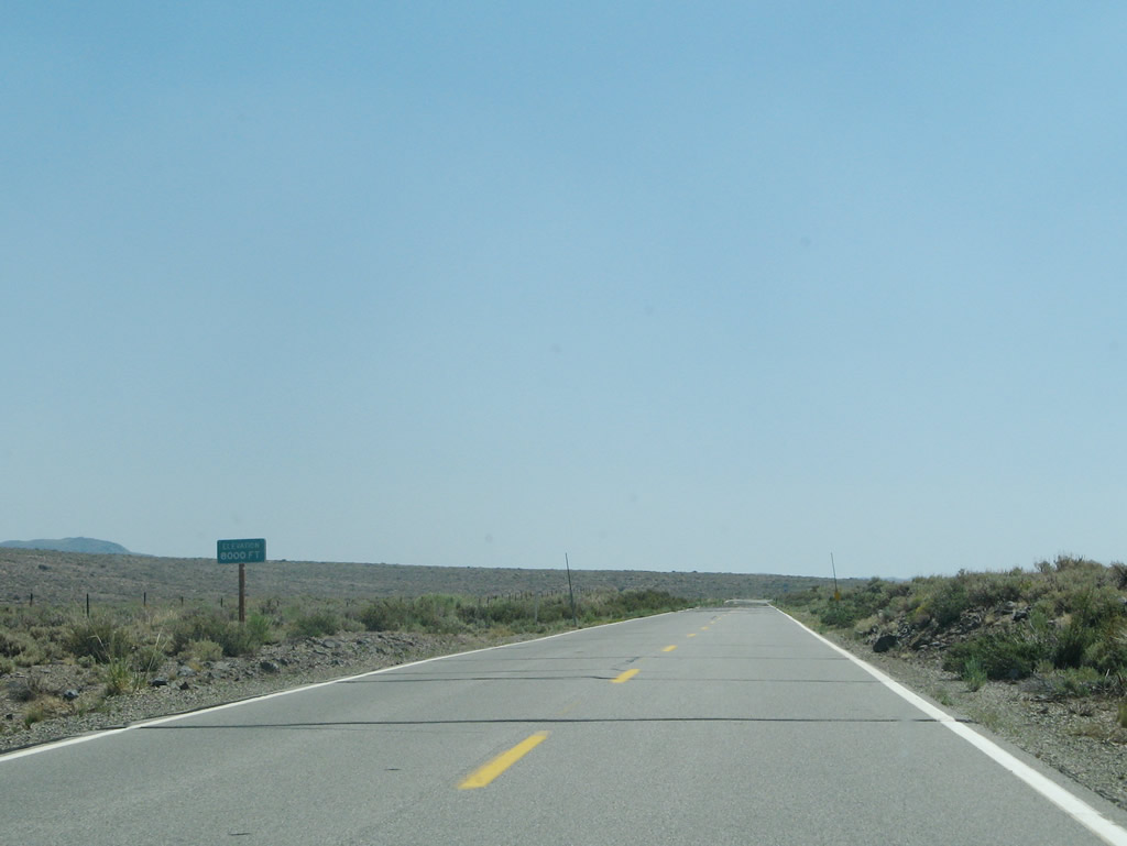
The biome of the Bodie Hills contains mostly sagebrush and sees precipitation (rainfall and snowfall) of about 13 inches a year. Bodie can be among the coldest spots in California during winter months (along with nearby Mammoth Lakes and Bridgeport).
07/09/07
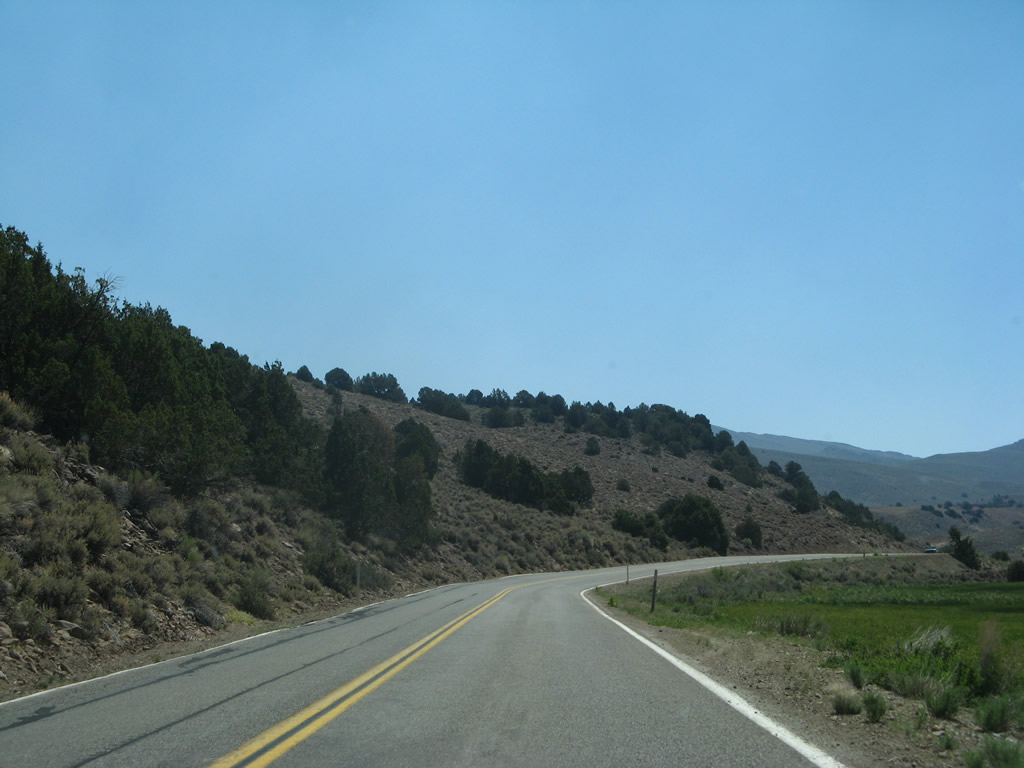
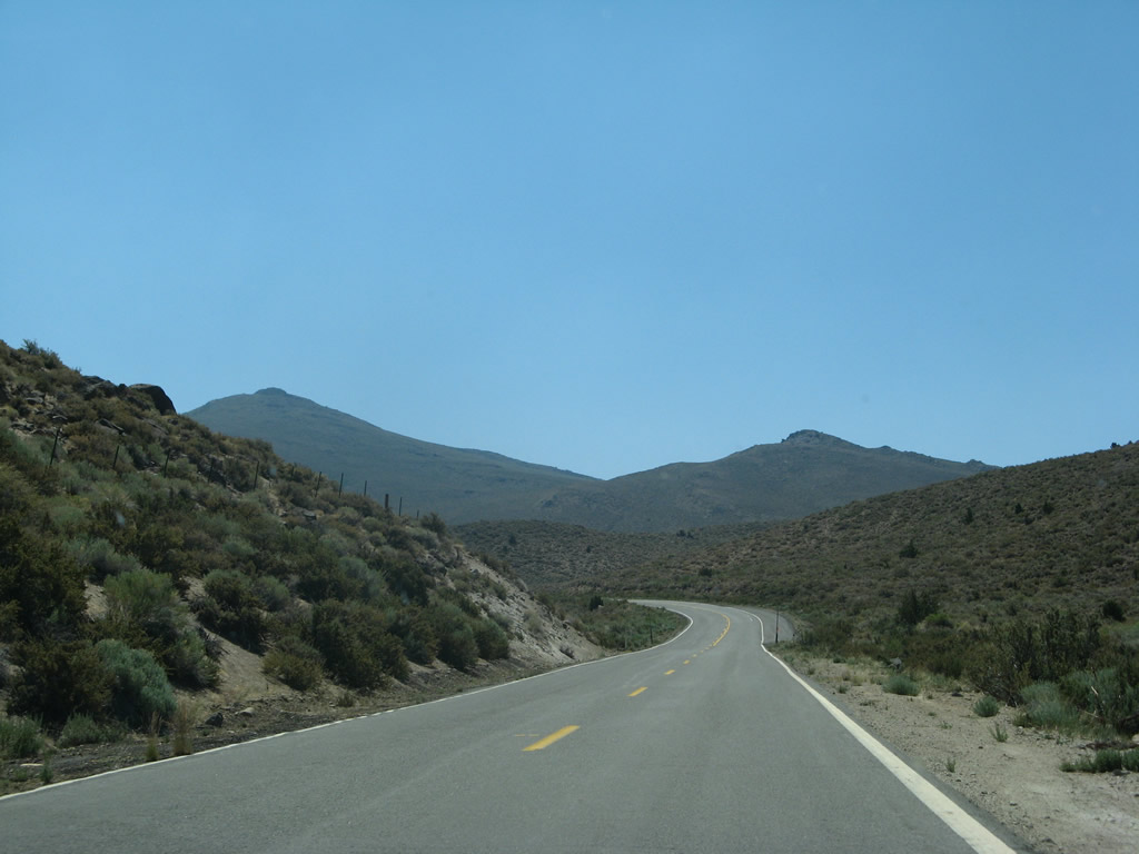
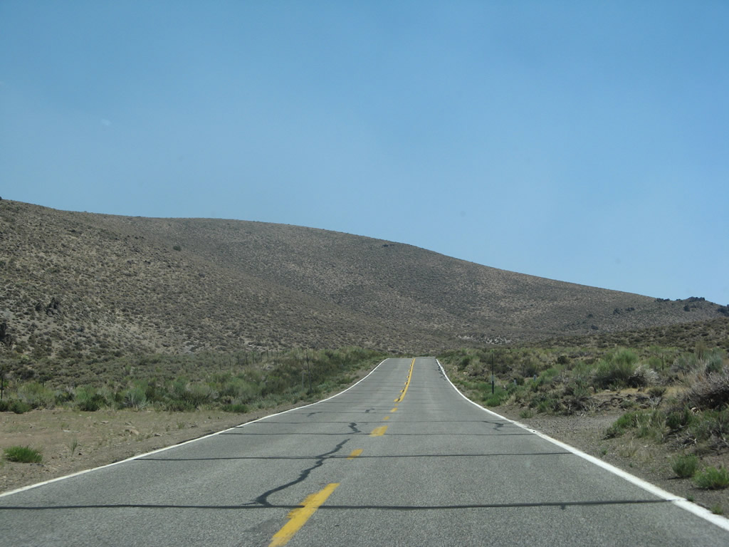
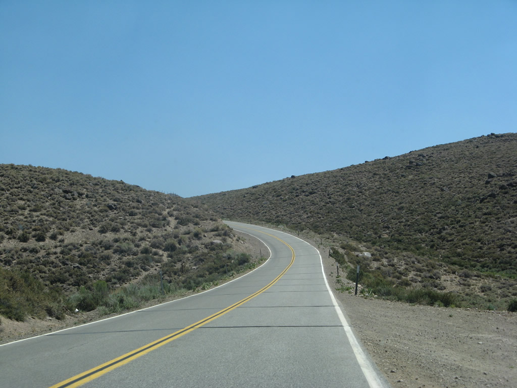
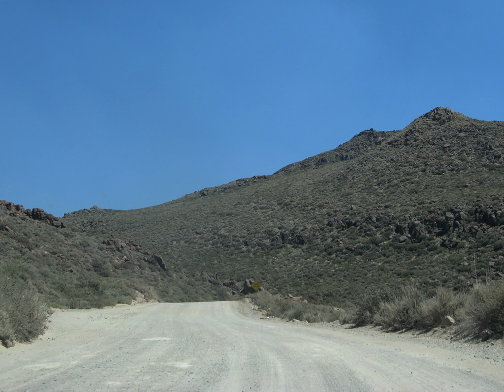
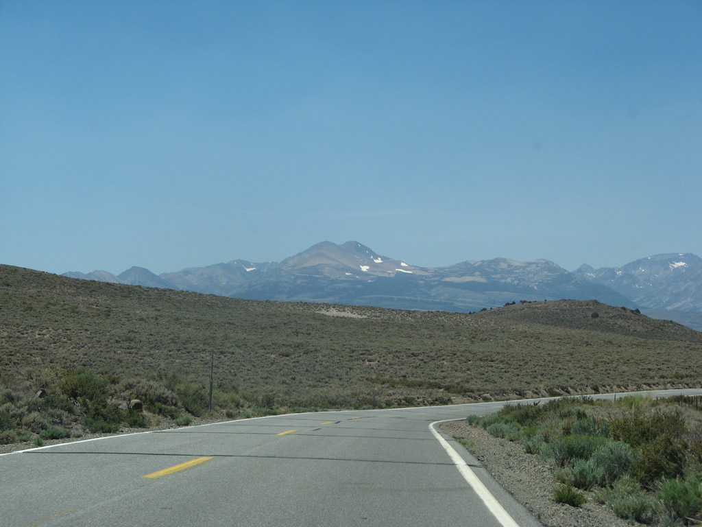
The final stretch of SR 270 east runs south of Bodie Mountain.
07/09/07
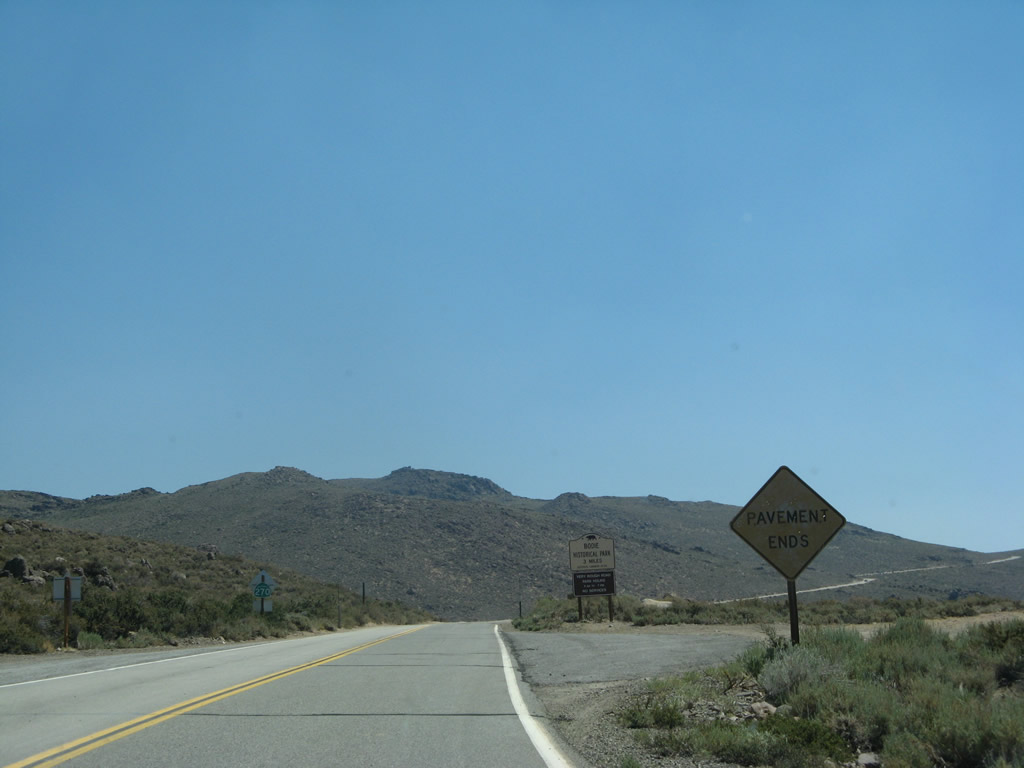
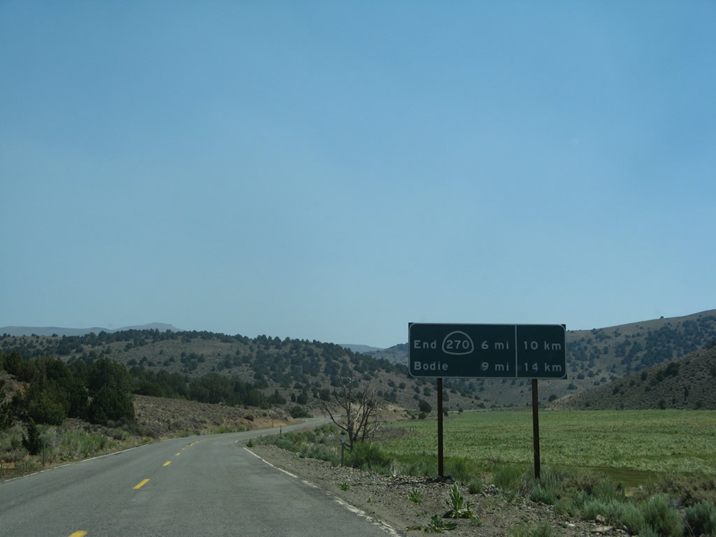
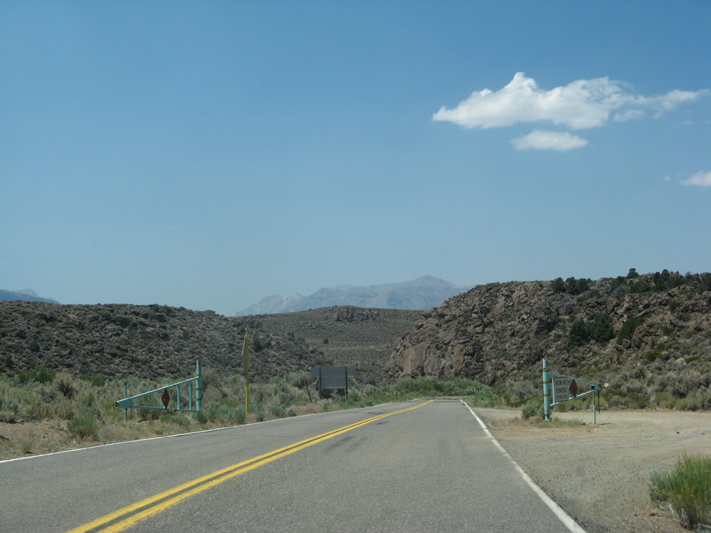
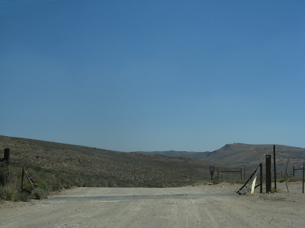
A beat-up sign warns of the end of California 270 at the point where the pavement ends. An unpaved road continues for the final distance to the state park.
07/09/07
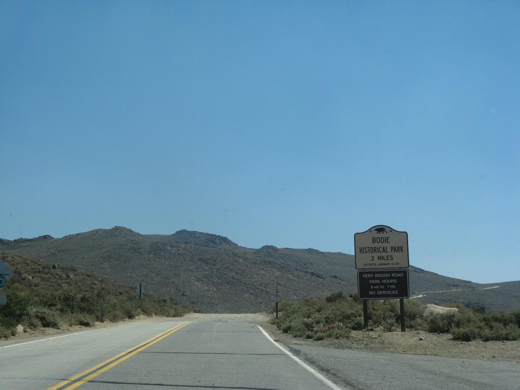
Bodie State Historic Park is three miles ahead via the unpaved road. An end shield for SR 270 was added by 2023 where the pavement transitions.
07/09/07
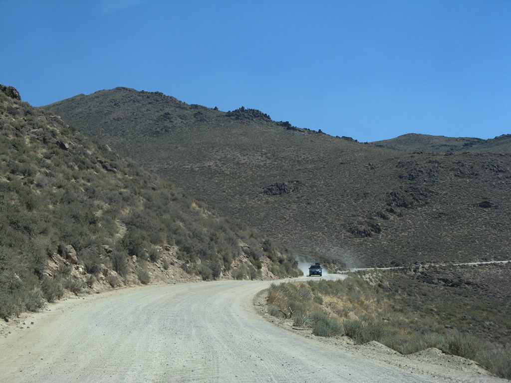
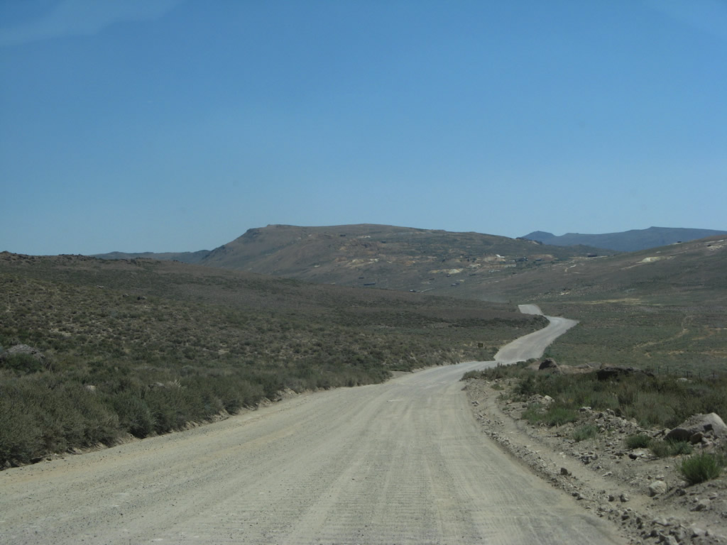
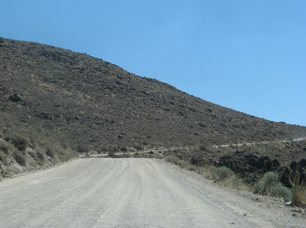
With the end of state maintenance of the paved section of roadway, the final three miles of Bodie Road constituate a graded gravel road.
07/09/07
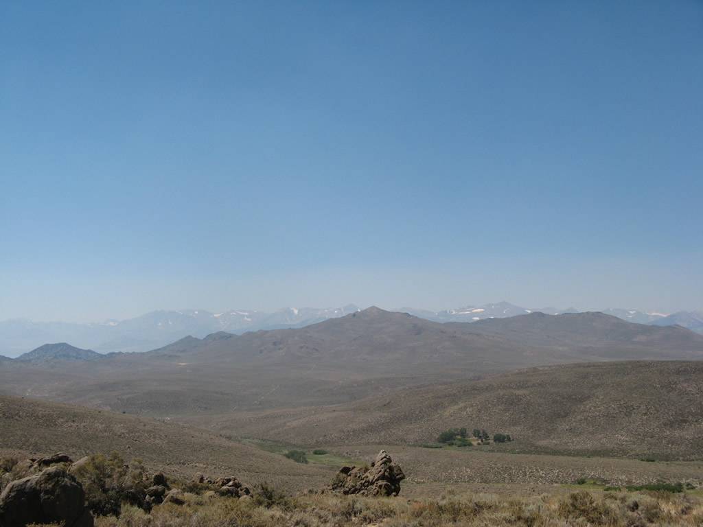
Views of the now-distant Sierra Nevada can be seen from Bodie Road as it winds uphill to the cattle guard that marks the state park boundary.
07/09/07
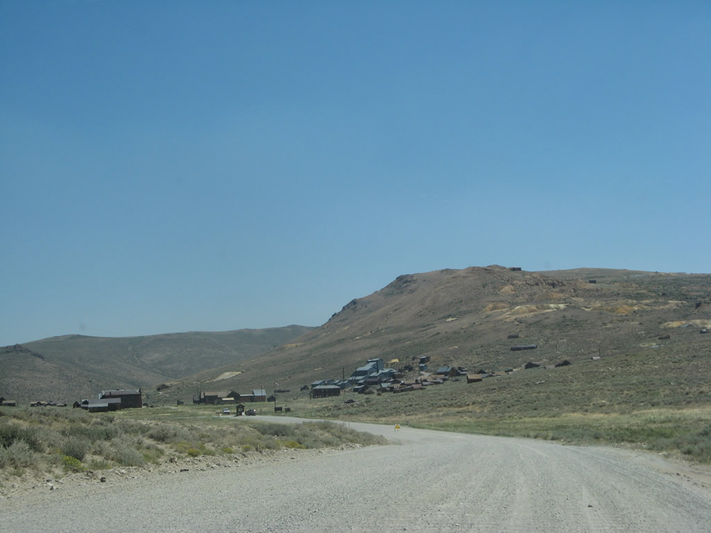
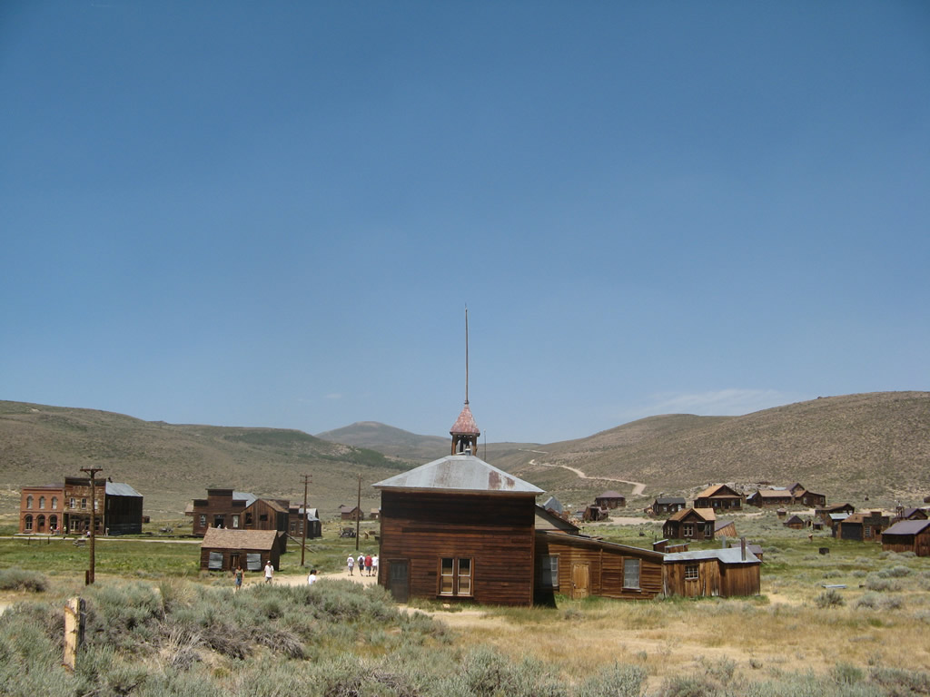
Upon entering the state park, Bodie Road begins to lose elevation for the remaining distance into Bodie. The remnants of the town are visible in the distance as the roadway continues east to town.
07/09/07
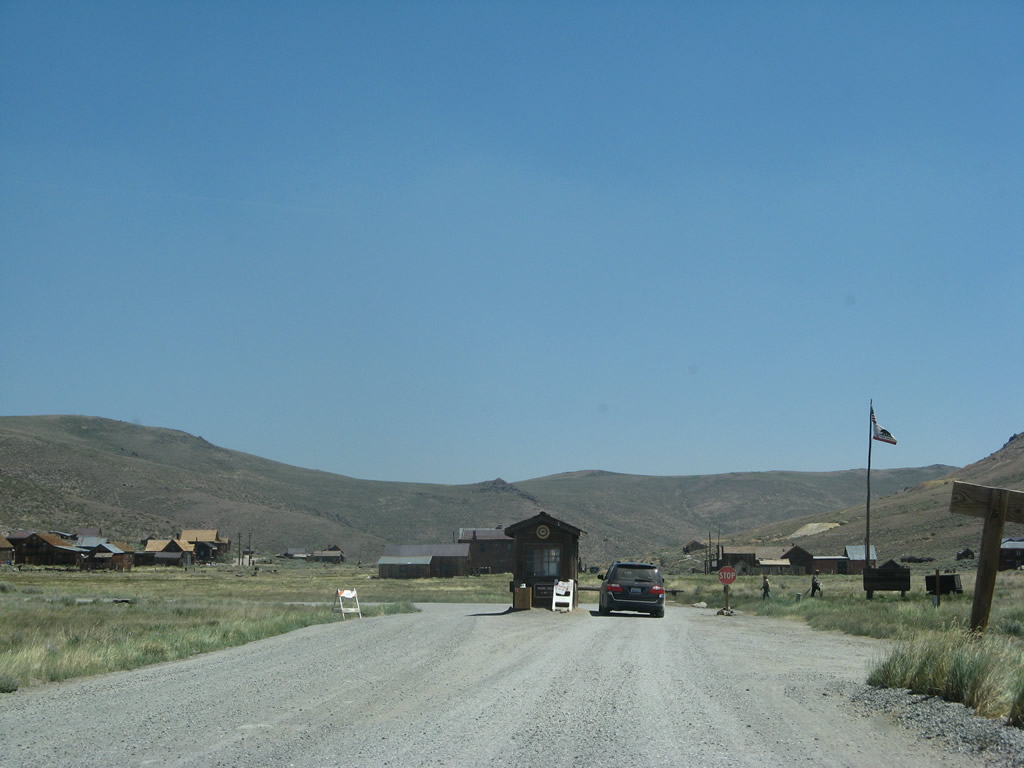
Bodie Road comes to an end at the parking lot for Bodie State Historic Park after the state park fee station. Visitors may park in this gravel lot and walk to the various building preserved within Bodie.
07/09/07
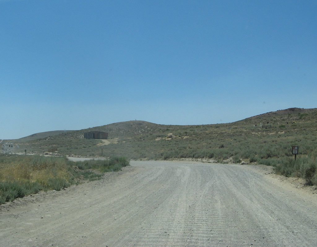
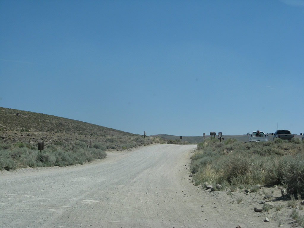
Leaving Bodie State Historic Park along the unpaved stretch of Bodie Road. This section of highway covers about three miles, then upgrades to Caltrans maintenance.
07/09/07
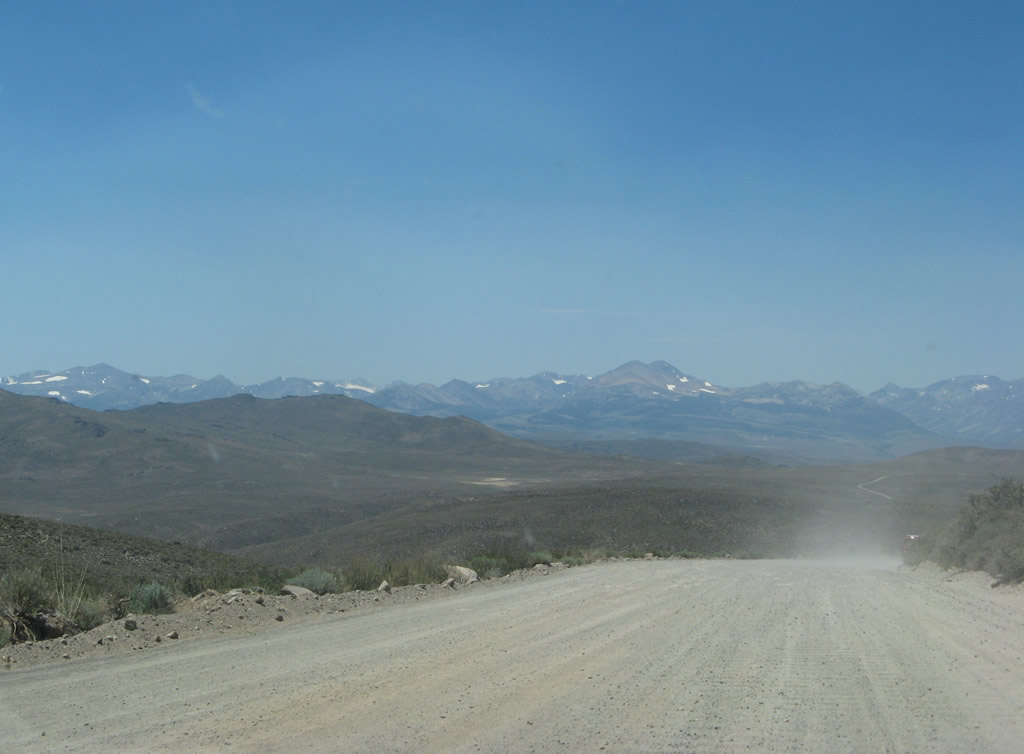
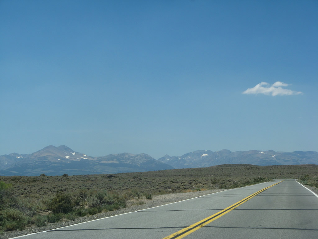
Stunning views of the Sierra Nevada can be seen as Bodie Road continues west.
07/09/07
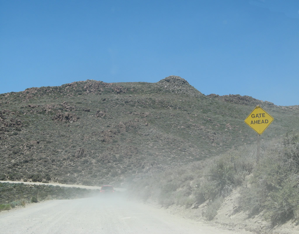
This "gate ahead" sign is the only sign along Bodie Road preceding the paved segment of California 270.
07/09/07
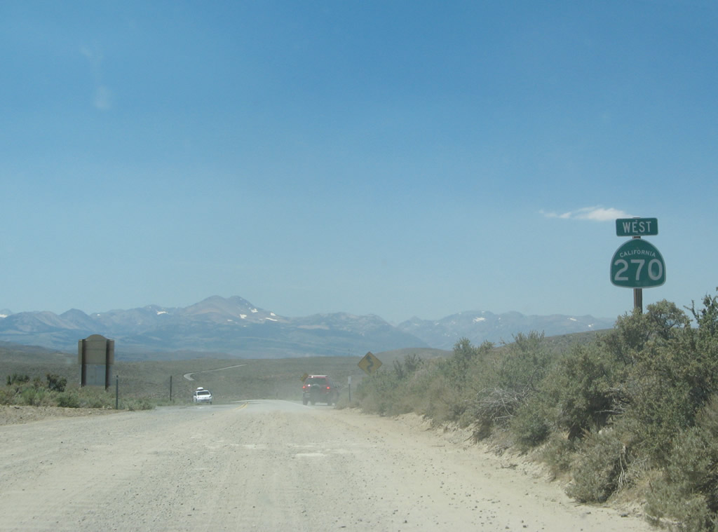
The first westbound California 270 reassurance shield assembly is posted on the gravel segment just prior to the transition onto a paved surface.
07/09/07
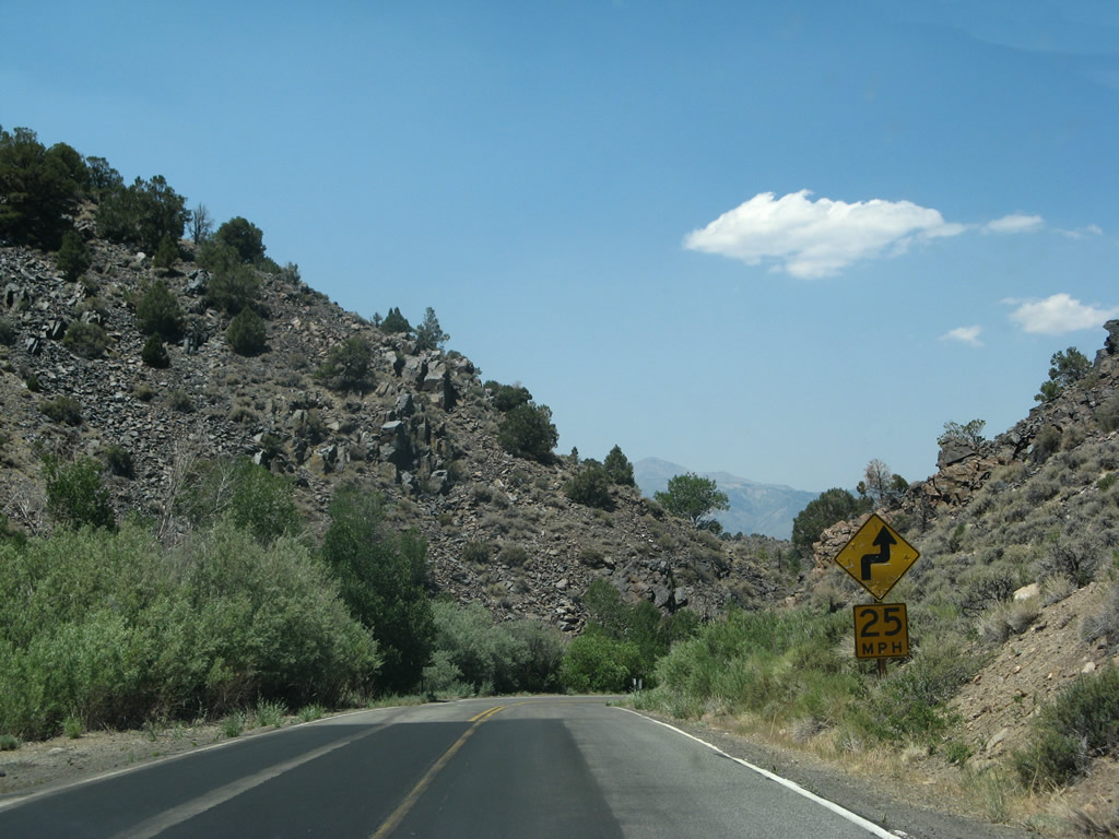
A series of signs warns of the winding, narrow road for the next ten miles and downgrade from here to U.S. 395.
07/09/07
California 270 initially travels west between Bodie Mountain and Mount Biedeman.
07/09/07
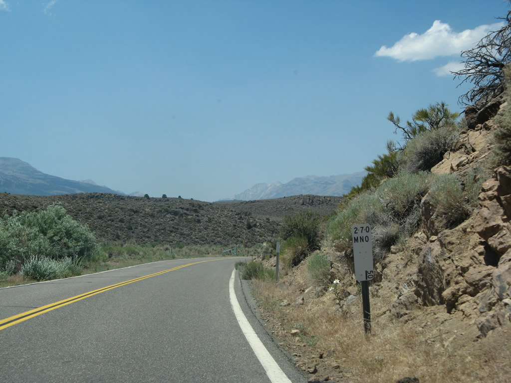
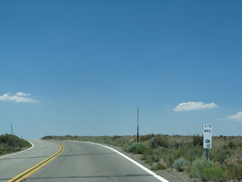
California 270 parallels ClearwaterCreek west from post mile 4.70 across Mormon Meadow.
07/09/07
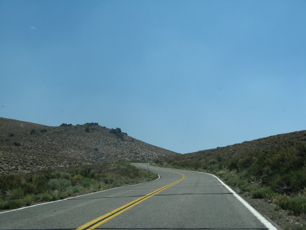
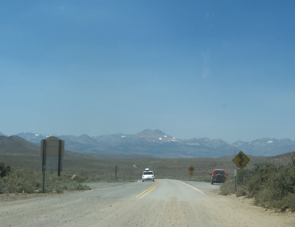
A number of S-curves along Bodie Road lead SR 270 west toward U.S. 395.
07/09/07
A final California 270 postmile is located one-half mile prior to the U.S. 395 intersection. No U.S. 395 shield assembly or end California 270 shield is posted along westbound.
07/09/07
During winter months and whenever the highway to Bodie is closed, these gates are shut and locked to prevent entry.
07/09/07
A "stop ahead" sign is posted prior to the U.S. 395 intersection.
07/09/07
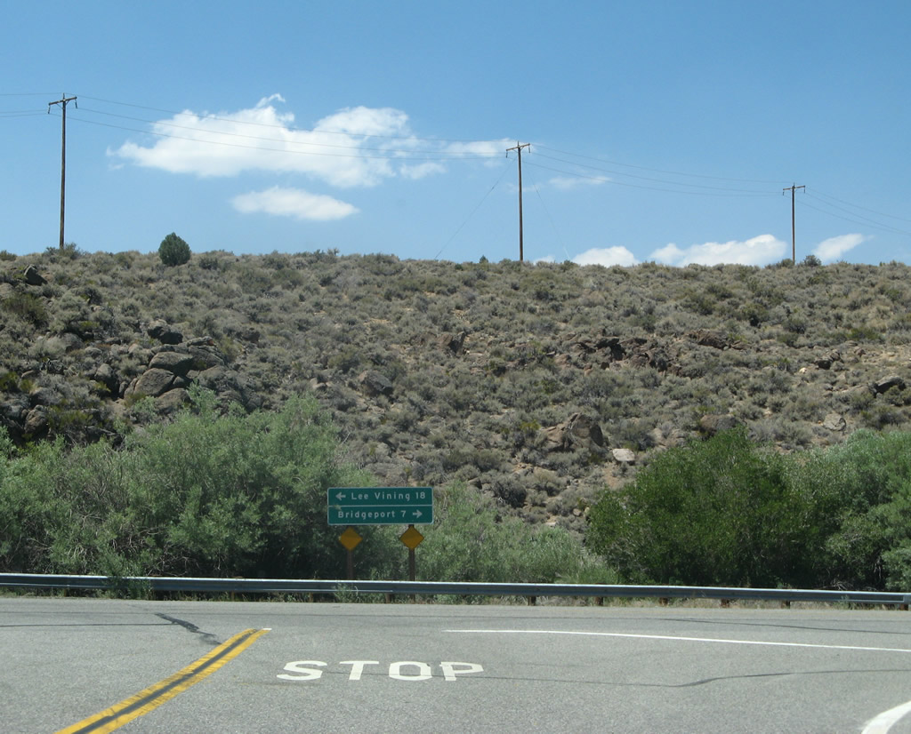
Westbound California 270 reaches its terminus at U.S. 395. Turn left to follow U.S. 395 south to Lee Vining (18 miles), Bishop, and Los Angeles. Turn right to follow U.S. 395 north to Bridgeport (seven miles), Carson City, and Reno-Sparks.
07/09/07
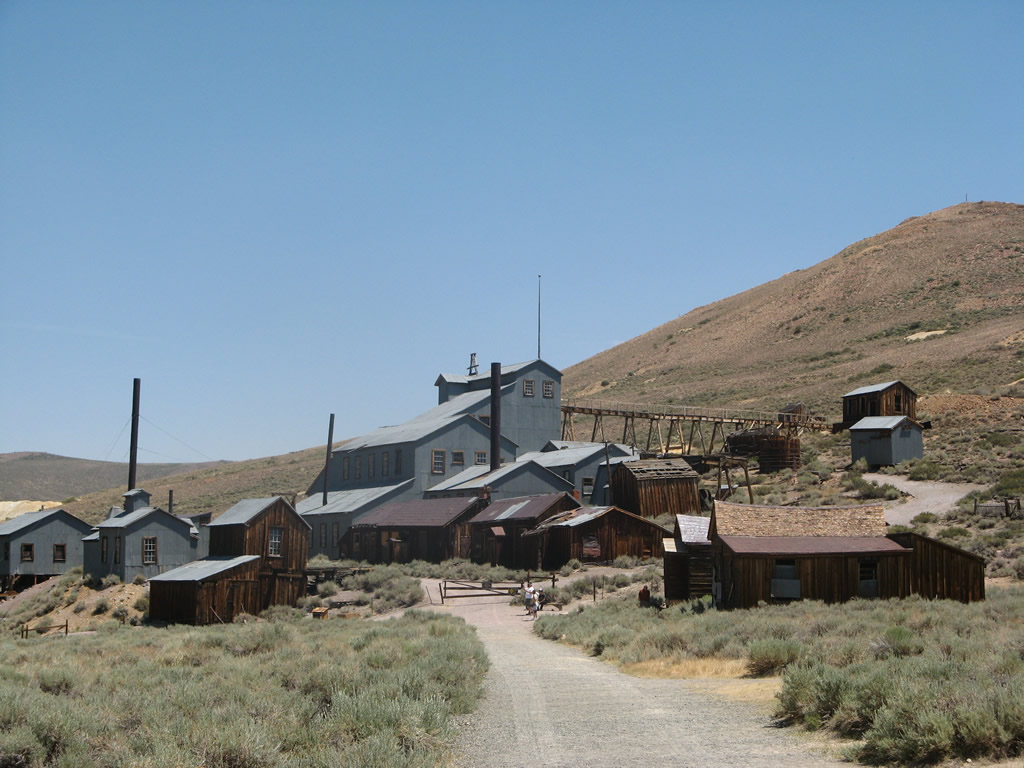
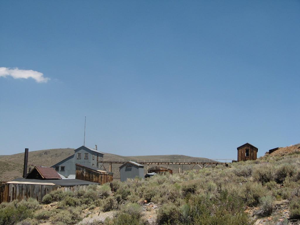
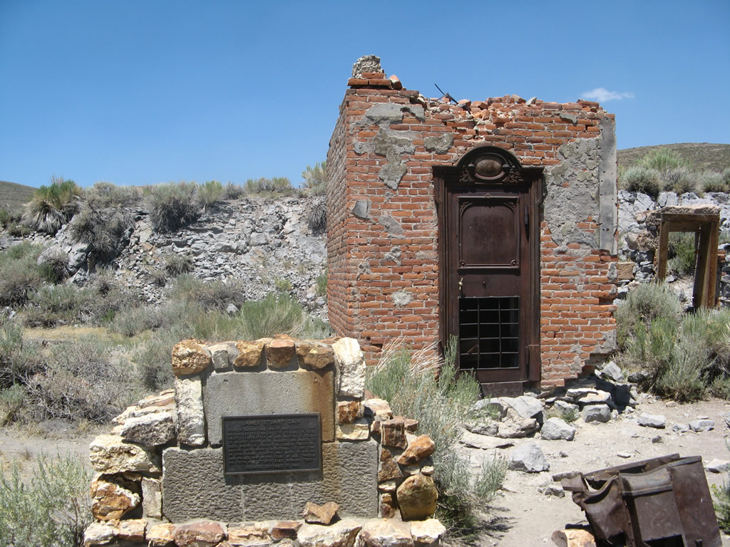
The various buildings kept in a state of "arrested decay." The church, mining facilities, and buildings mostly date back to the 1870s and 1880s, the heyday of Bodie. Some of the buildings can be visited on foot, while others are in ruins. The former mine area is closed for unsupervised visitation.
07/09/07
Photo Credits:
- Andy Field: 07/09/07
Connect with:
Page Updated Sunday April 18, 2010.