
State Route 330
California 330 travels between California 210 at Highland and California 18 at Running Springs. It is among the faster routes to the Big Bear and Lake Arrowhead resorts. The state route consists of a remnant of the original route of California 30, which used to turn northeast at Highland and head toward Running Springs rather than head southeast back to Interstate 10 (as it did until 2007, when California 30 was replaced with California 210).
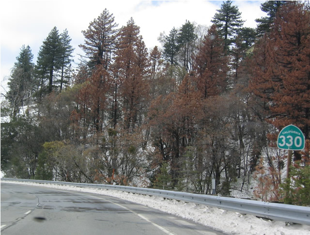
A fresh snowfall blanketed the mountains in this scene showing the first shield for SR 330 south.
04/18/04
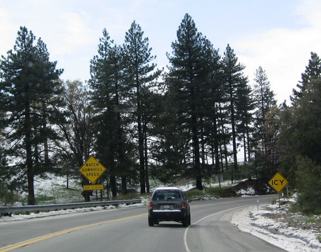
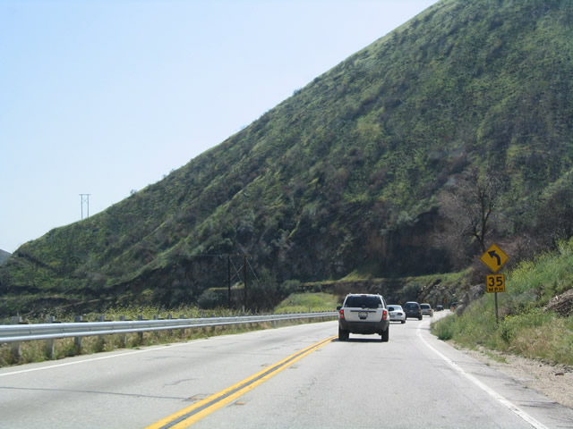
As SR 330 descends from Running Springs to Highland, the highway takes a lengthy and continuous decline for nearly its whole length. Regulatory signs will advise motorists of icy conditions during winter.
04/18/04
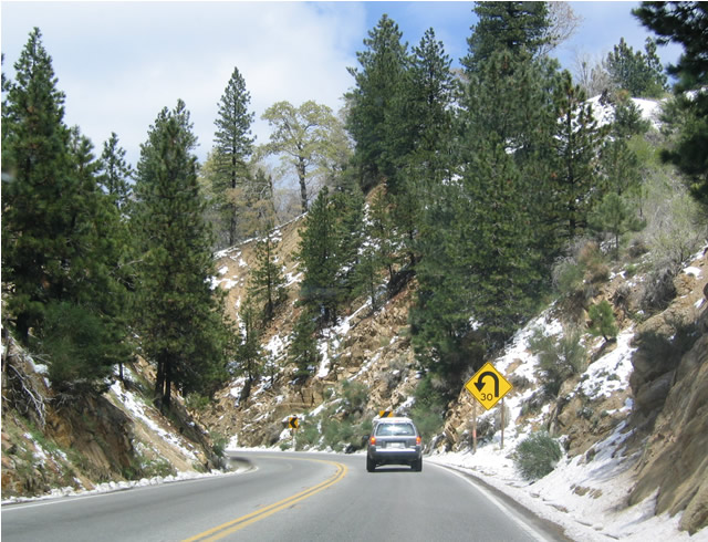
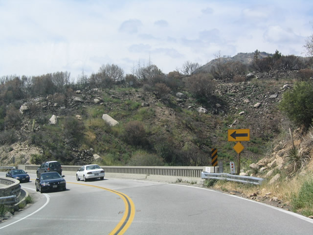
Switchbacks such as this one are common as SR 330 loses elevation.
04/18/04
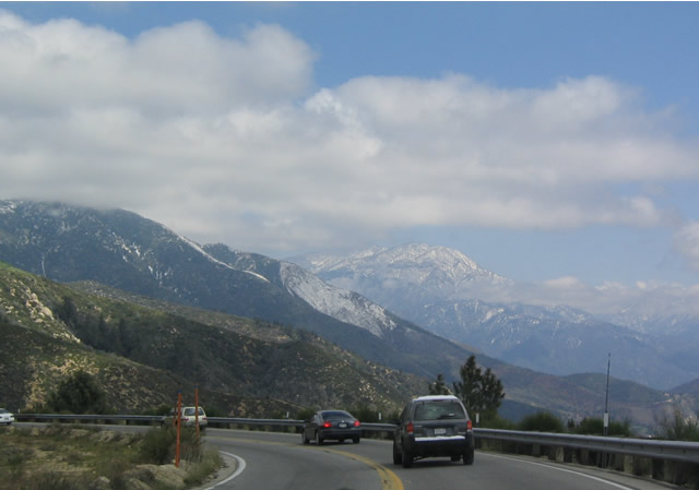
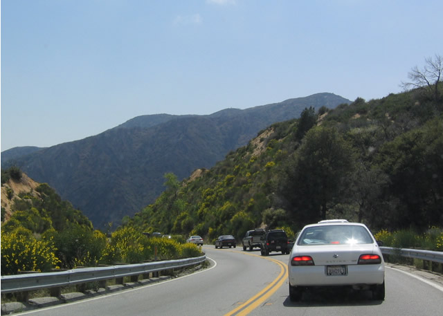
View of the San Bernardino Mountains along an eastward bend of SR 330.
04/18/04
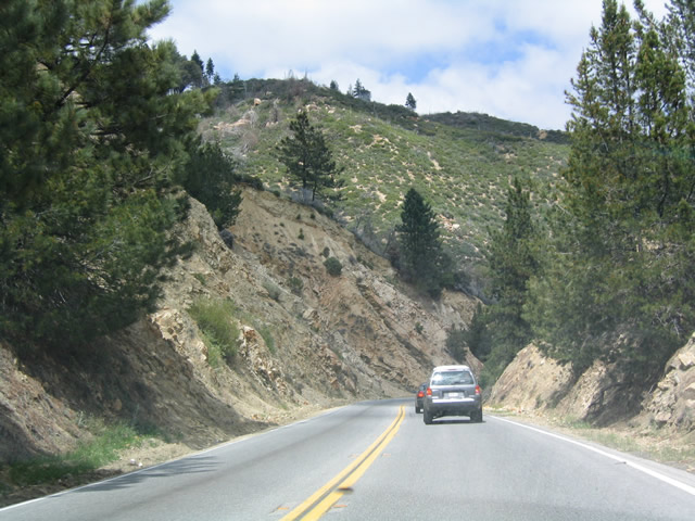
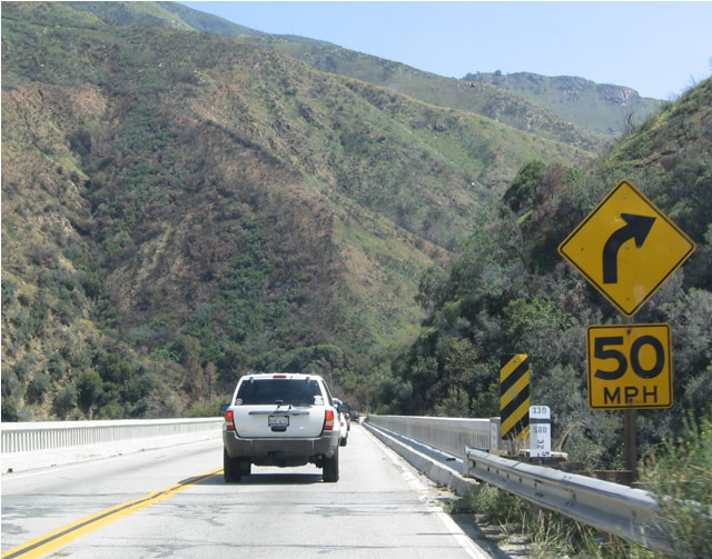
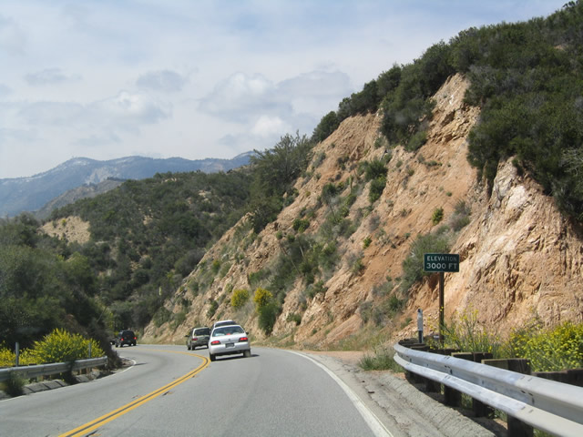
Cuts such as this one were necessary to allow SR 330 to maintain a continuous grade down the hill.
04/18/04
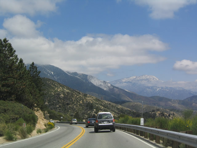
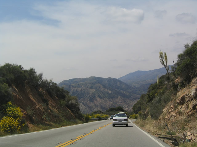
SR 330 south continues down the slope toward Highland.
04/18/04
An older arch bridge spans the East Fork of City Creek as SR 330 makes its final turn south around Harrison Mountain.
04/18/04
Another span with vintage guard rails carries SR 330 across the confluence of the City Creek West and East Forks.
04/18/04
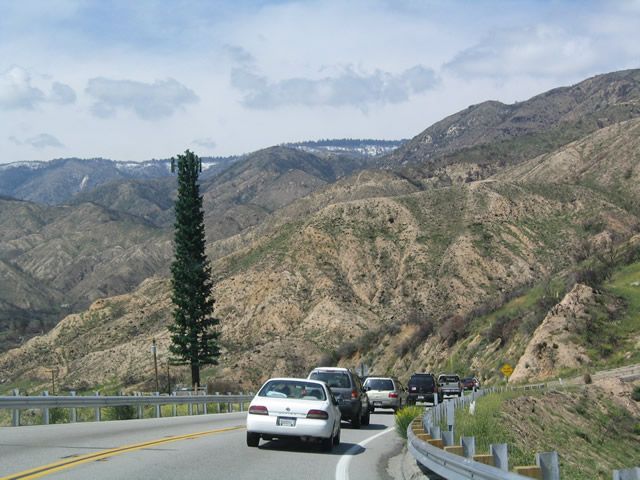
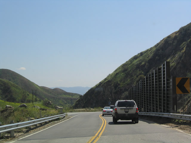
SR 330 navigates southward alongside City Creek between McKinley and Harrison Mountains.
04/18/04
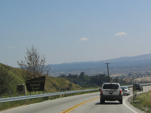
Emerging from the San Andreas Rift Zone, SR 330 widens into a freeway and enters the city of San Bernardino.
04/18/04
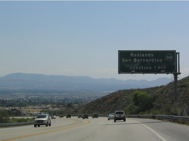
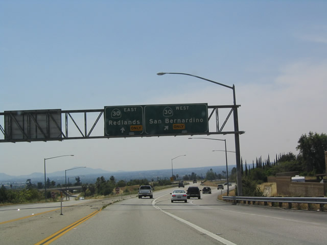
SR 330 south concludes at a semi directional T interchange with SR 210 (former SR 30) in one mile.
04/18/04
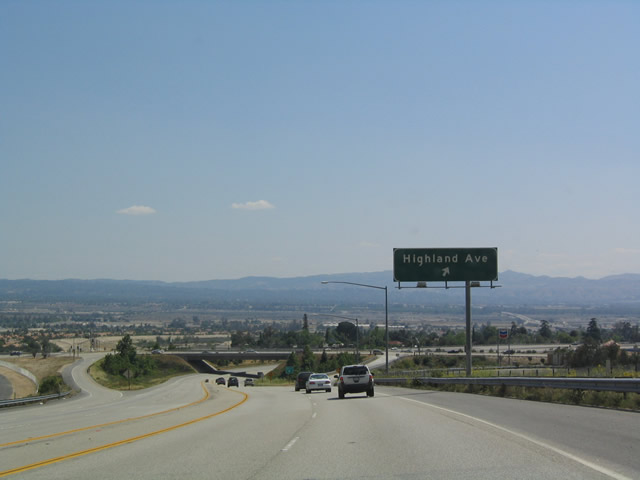
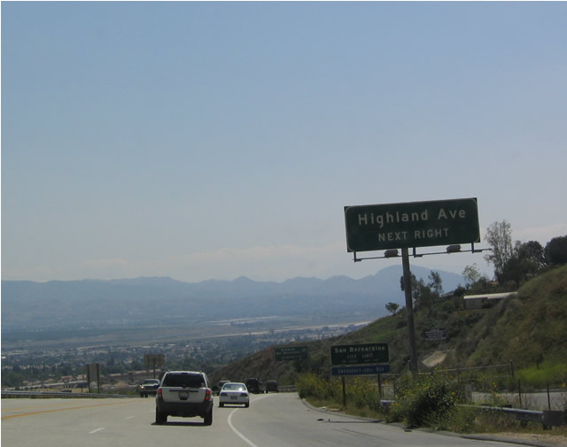
A diamond interchange (Exit 1C) joins the short SR 330 freeway with Highland Avenue.
04/18/04
SR 210 heads east to Interstate 10 in Redlands and west to Interstate 215 in San Bernardino. SR 30 originally reverted to a city street for a short distance west of I-215; the route was converted to freeway and renumbered as SR 210 in 2007.
04/18/04
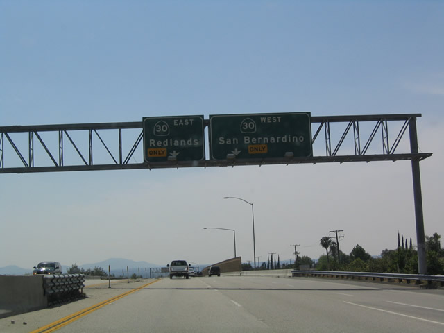
Exit 1A extends from the left lane of the ending SR 330 south onto SR 210 eastbound.
04/18/04
Photo Credits:
- Andy Field: 04/18/04
Page Updated Tuesday June 06, 2017.