
Champlain Parkway
Champlain Parkway is an at-grade roadway extending northwest from the exchange joining the west end of Interstate 189 with U.S. 7 (Shelburne Road) along the South Burlington city line to Lakeside Avenue in Burlington. The parkway was constructed in place of cancelled plans for the Burlington Belt Line, an expressway proposed in the 1965 Greater Burlington Urban Area Highway Plan. Then referred to as the Southern Connector, the initial roadways for Champlain Parkway were built in the 1980s between U.S. 7 and Home Avenue. However, this connection never opened to traffic and sat unused to 2026.
Champlain Parkway was constructed north from Home Avenue to Lakeside Avenue with two lanes and a parallel multi use path. Work got underway in Summer 2022 and was completed in December 2024. Construction on the unused roadways connecting Home Avenue with I-189 started in January 2025. Completion of this work is scheduled for Summer 2026. The parkway southbound opens on June 29, 2026. The northbound lanes open the following day (Saxe, 2026).
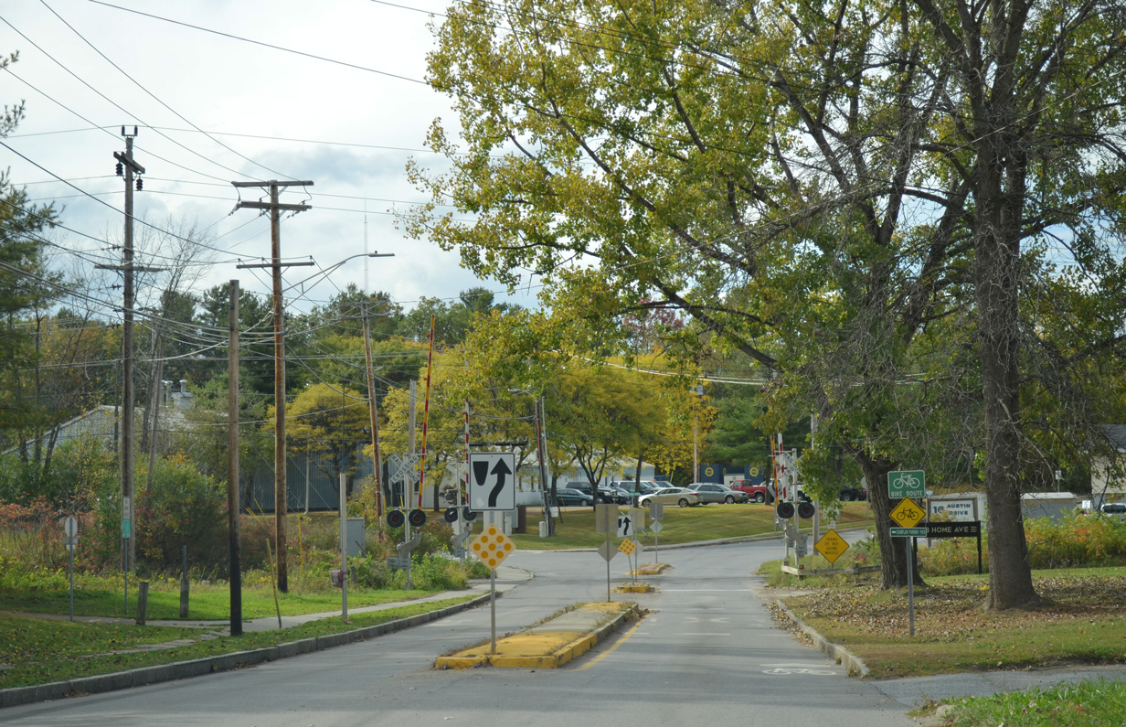
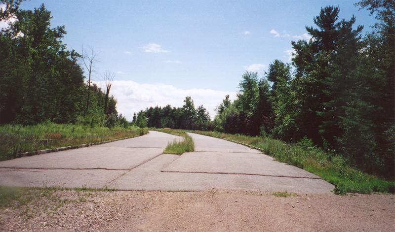
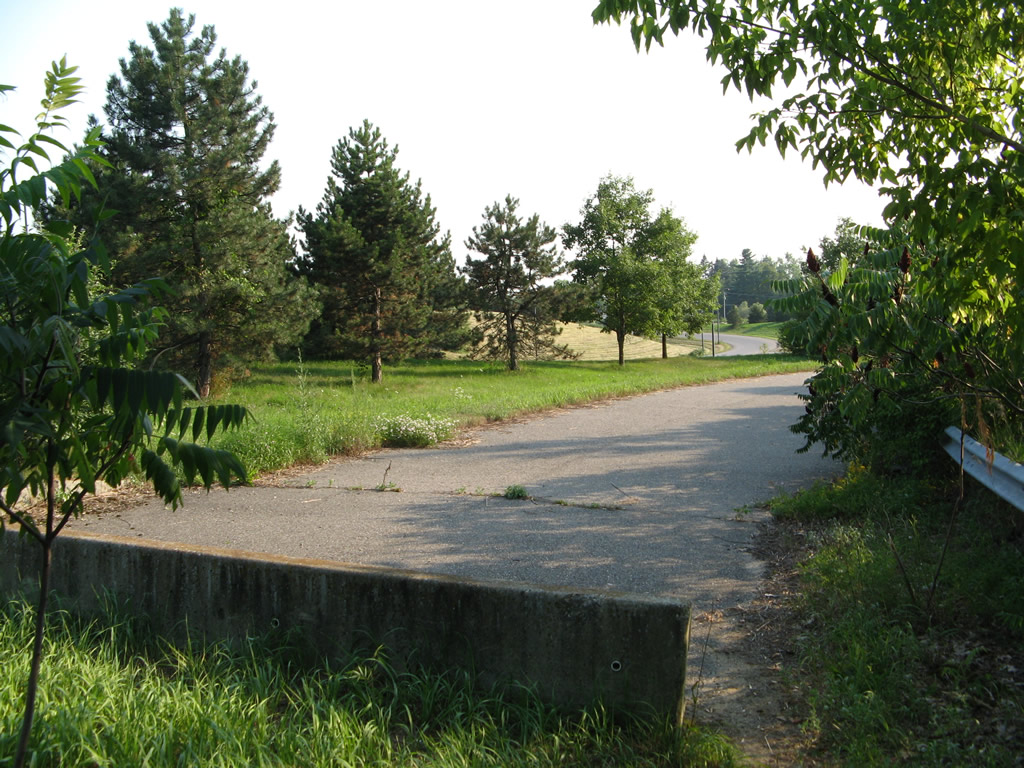
Home Avenue west after Batchelder Street prior to the construction of Champlain Parkway. Champlain Parkway Path, the multi-use path running alongside the parkway, starts here.
10/07/14

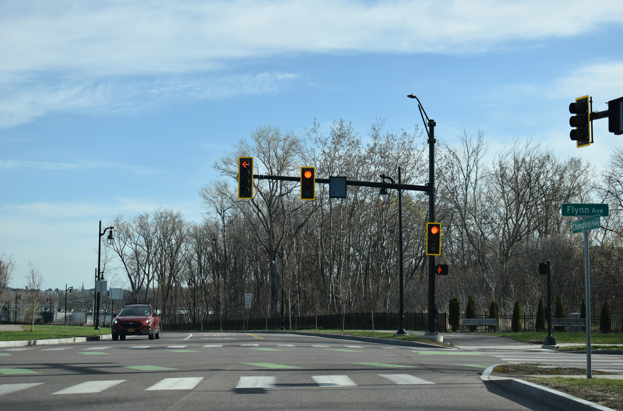
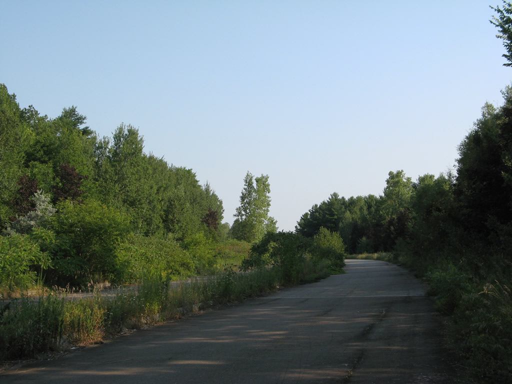
Home Avenue west at the temporary south end of Champlain Parkway.
04/26/26

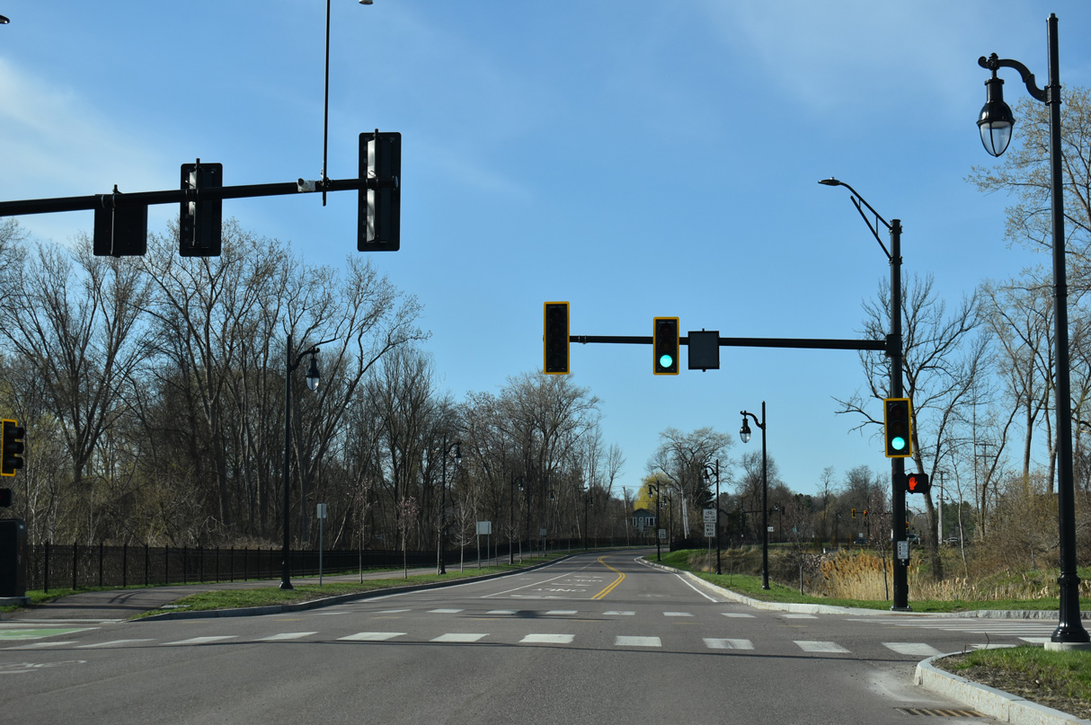
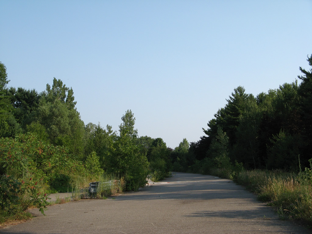
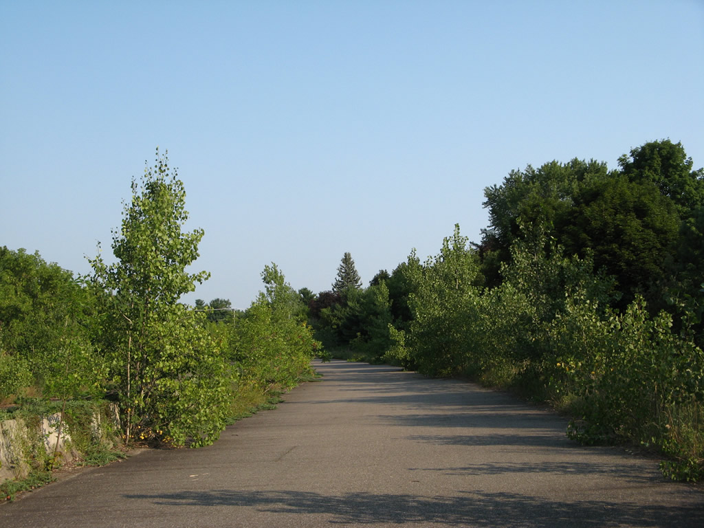
Champlain Parkway proceeds north from Home Avenue three blocks to Flynn Avenue. There are no intersections along this stretch.
04/26/26
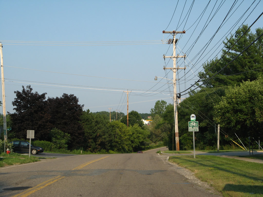
Champlain Parkway north at Flynn Avenue west to Oakledge Park along Lake Champlain and east to U.S. 7 (Shelburne Street).
04/26/26

Champlain Parkway advances north from Flynn Avenue to an industrial area at Sears Lane.
04/26/26

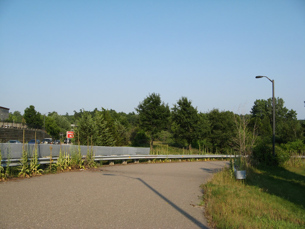
Champlain Parkway north ends at Lakeside Avenue across from the City of Burlington Public Works complex.
04/26/26

Champlain Parkway heads south from Lakeside Avenue with controlled access and a 25 mile per hour speed limit.
04/26/26
The first of three signalized intersections along Champlain Parkway south is at Sears Lane.
04/26/26

Champlain Parkway proceeds south to intersect Flynn Avenue in the South End neighborhood of Burlington.
04/26/26
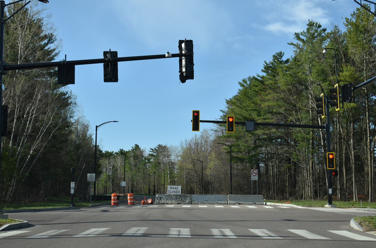
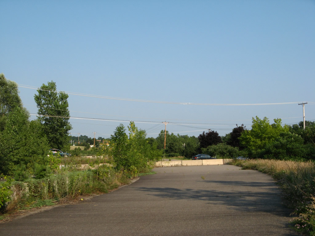
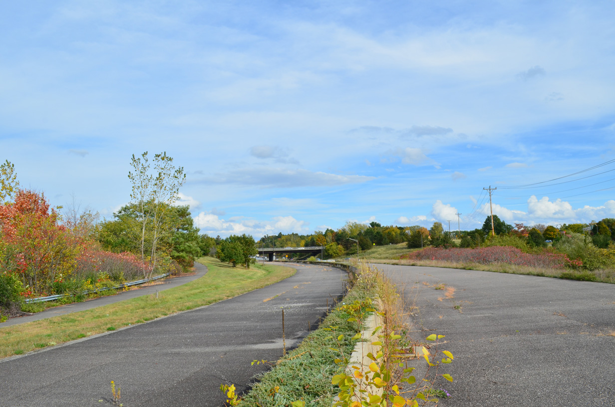
Champlain Parkway south at Home Avenue prior to completion of the four lane connection to Interstate 189 east. South from Home Avenue, the parkway will transition to limited access standards with bikes and pedestrians prohibited.
04/26/26
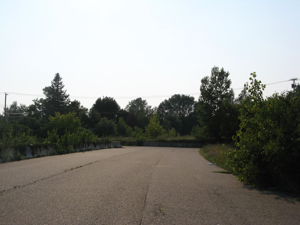
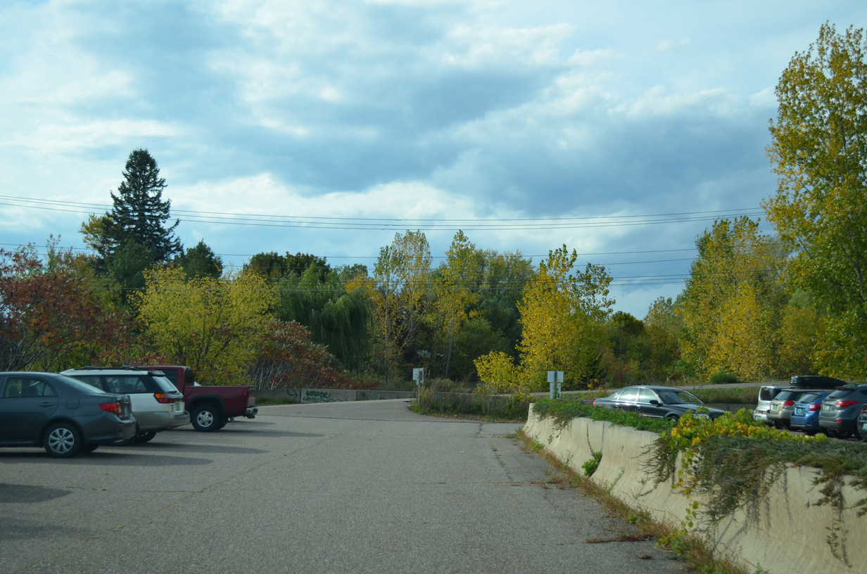
Looking south from the intersection of Home Avenue and Batchelder Street at the Champlain Parkway right of way.
08/02/07
10/07/14
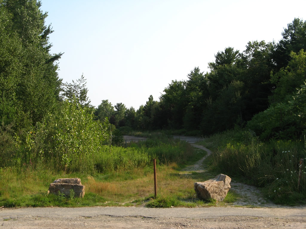
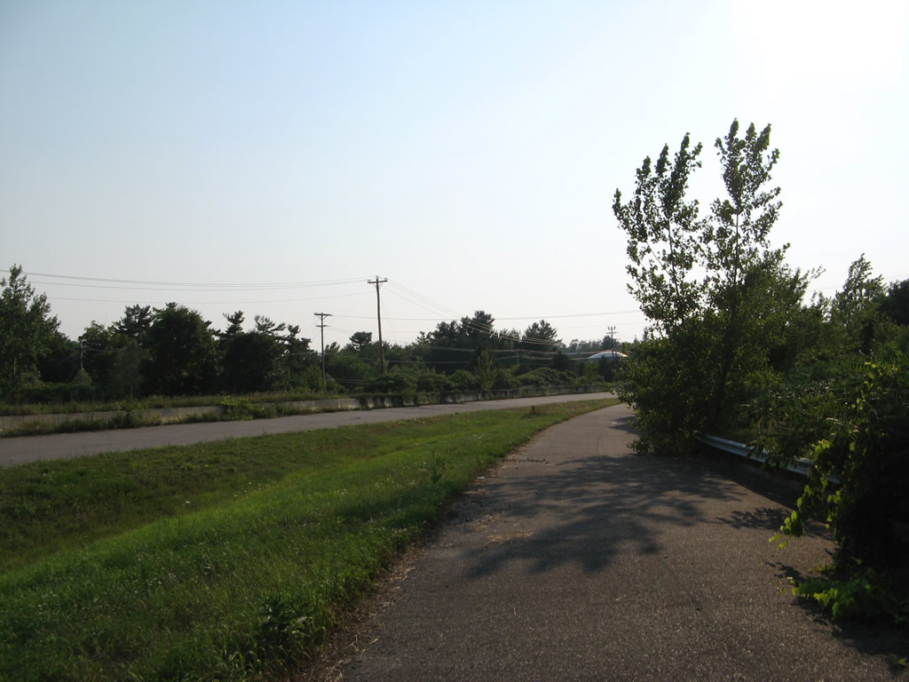
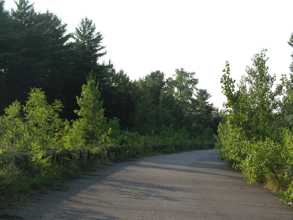
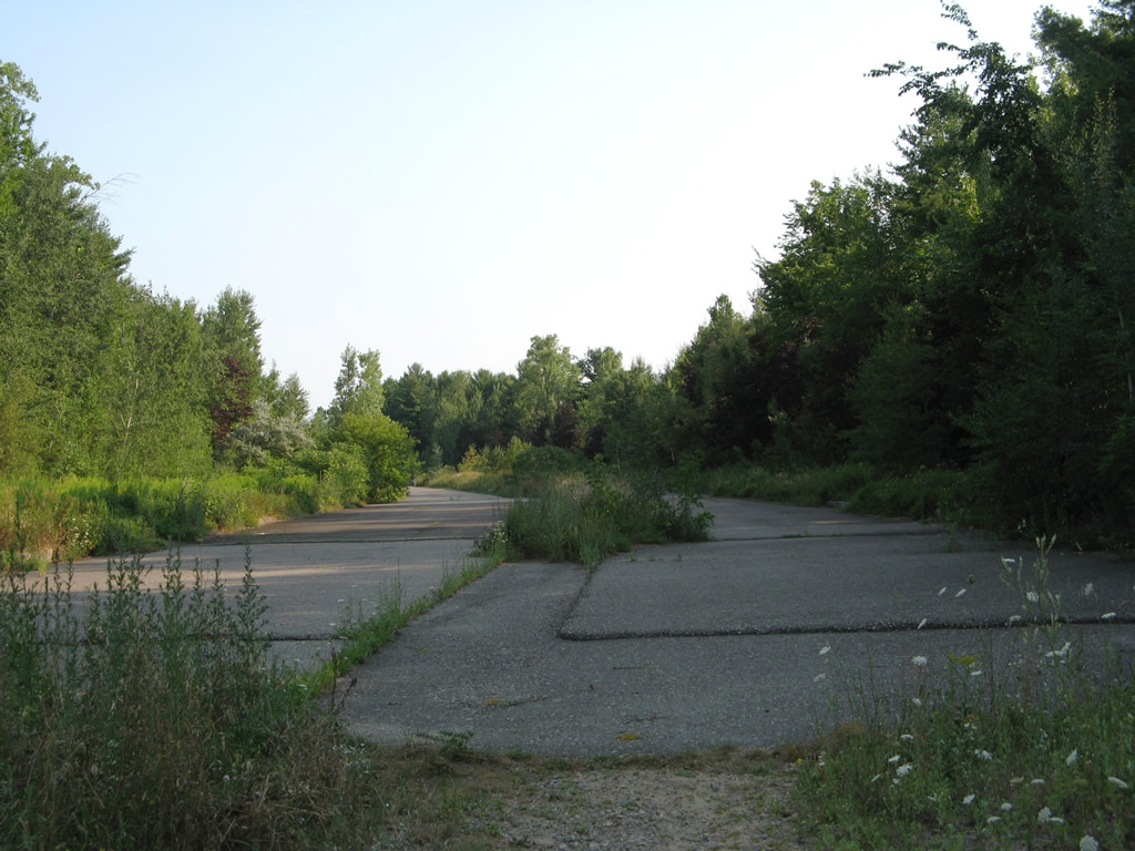
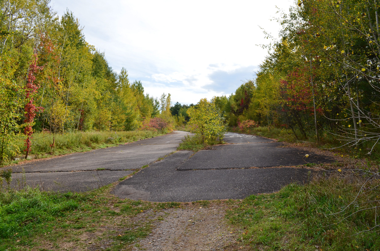
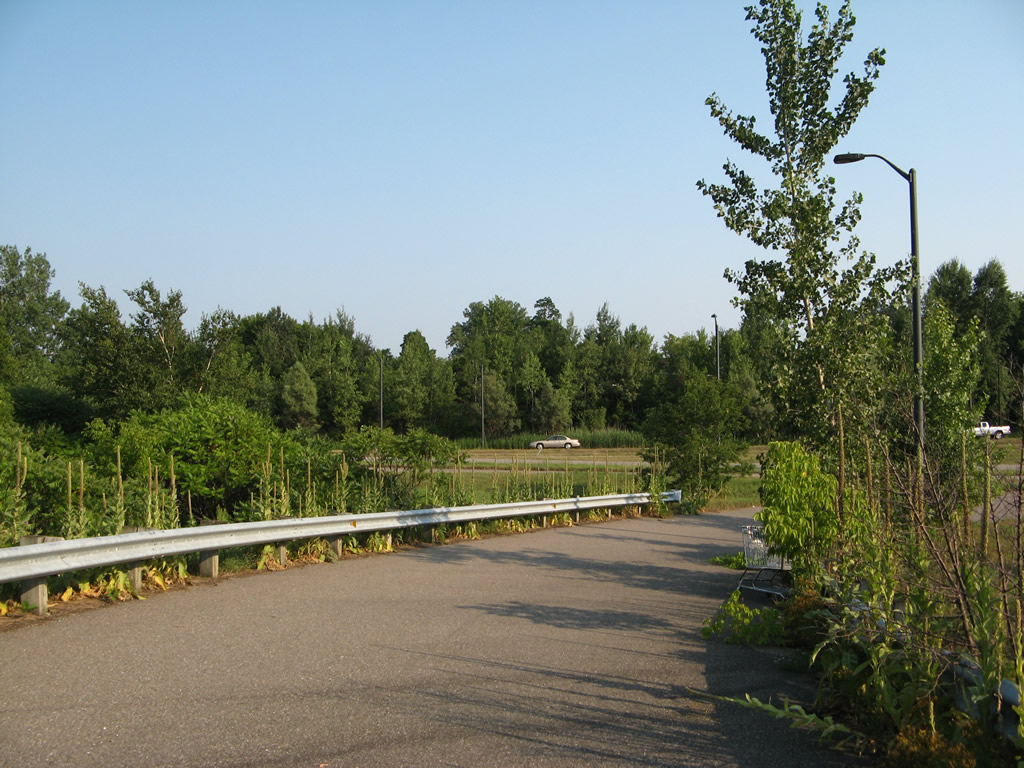
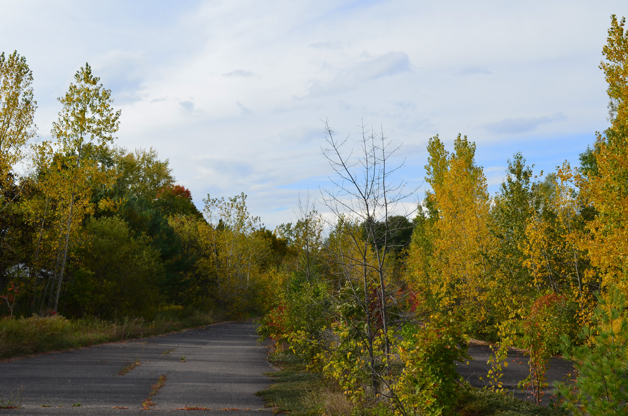
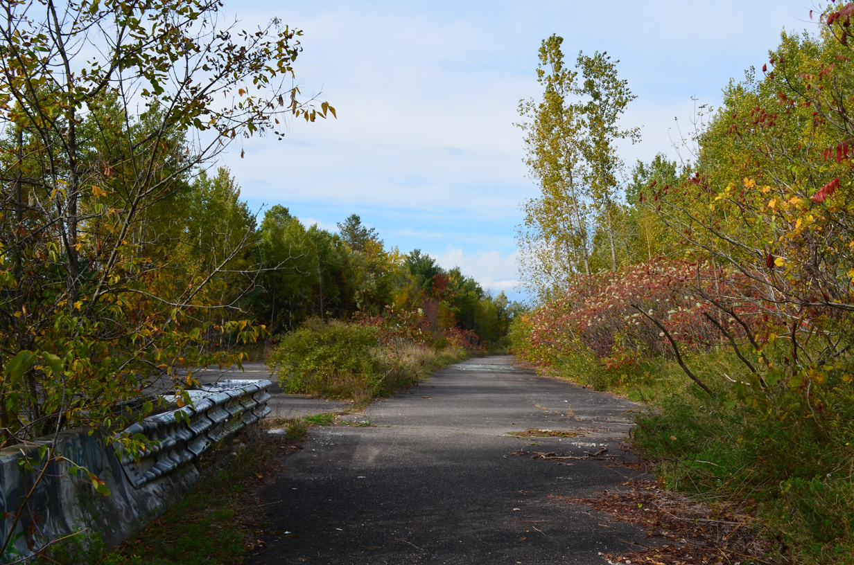
Vegetation overtakes the roadway beginning of Champlain Parkway near Home Avenue.
07/23/00
08/02/07
10/07/14
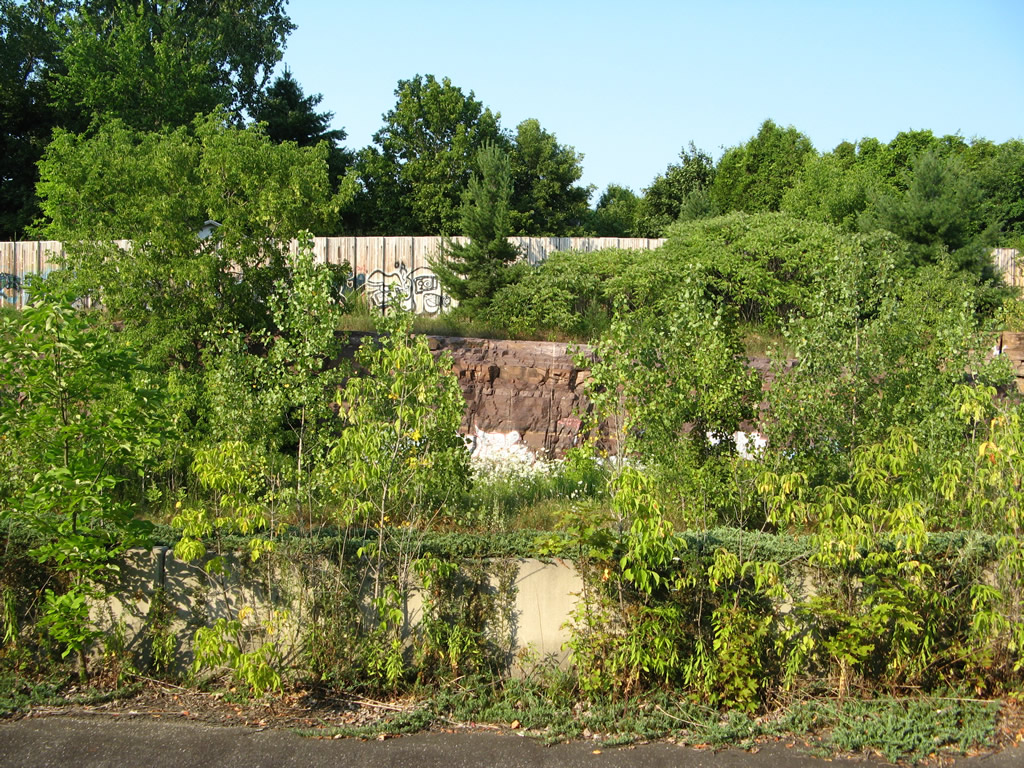
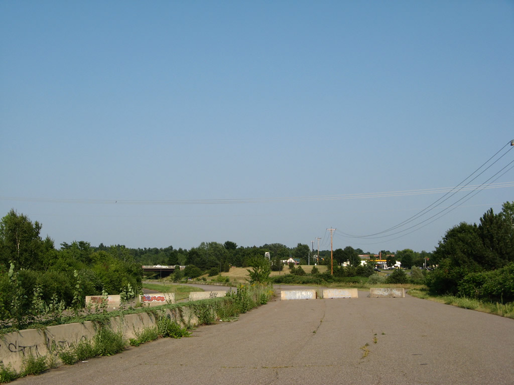
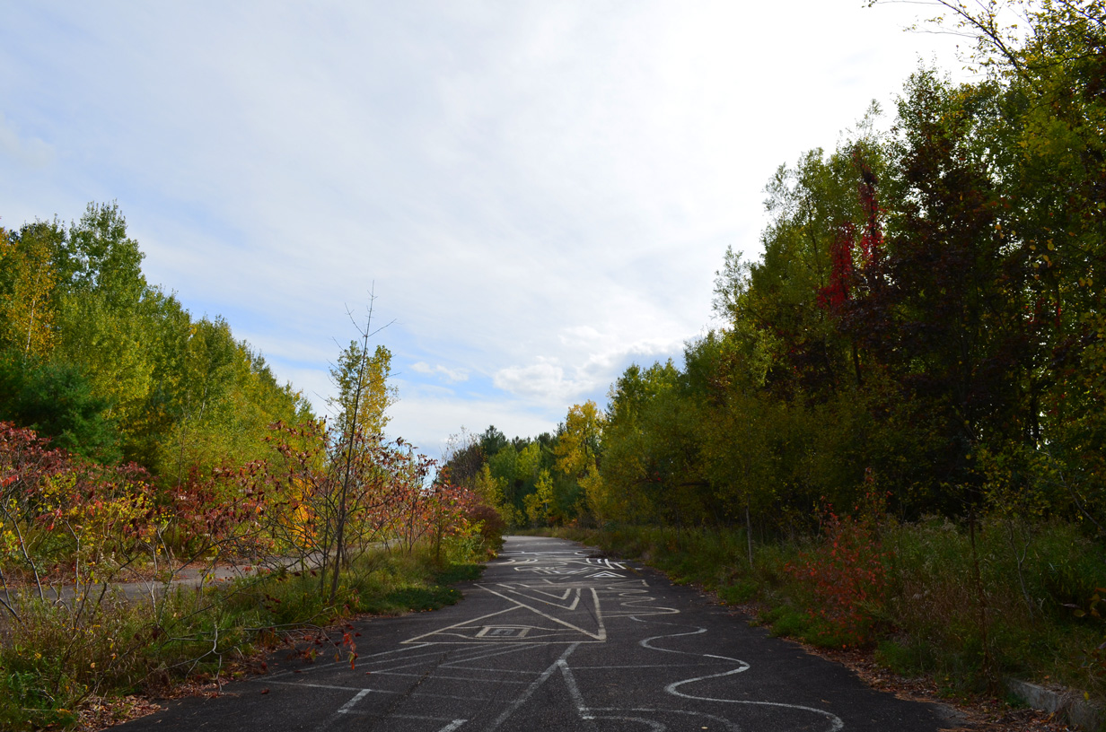
Graffiti and other vandalism appeared along the southbound roadway.
08/02/07
10/07/14
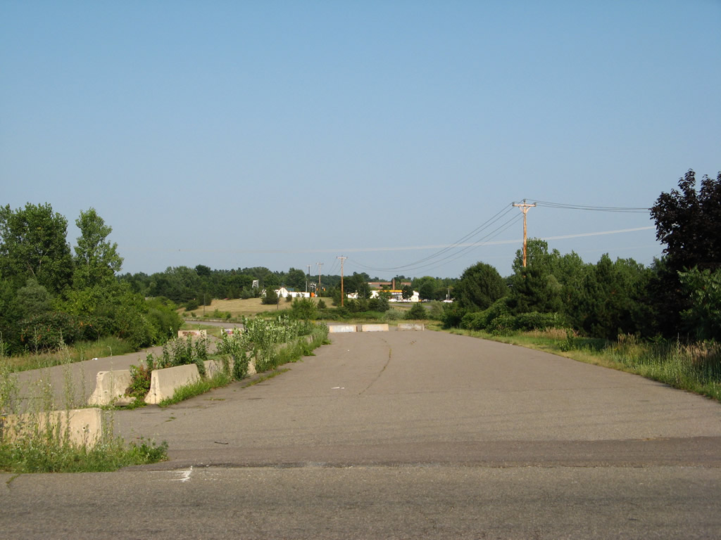
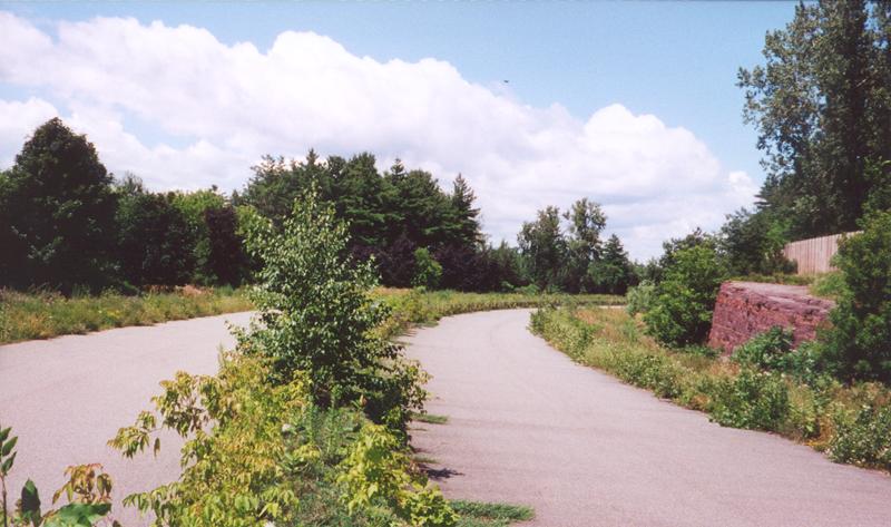
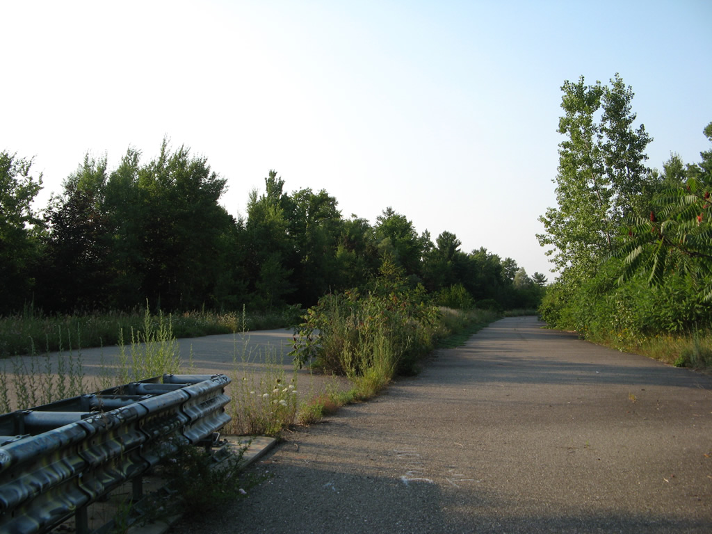
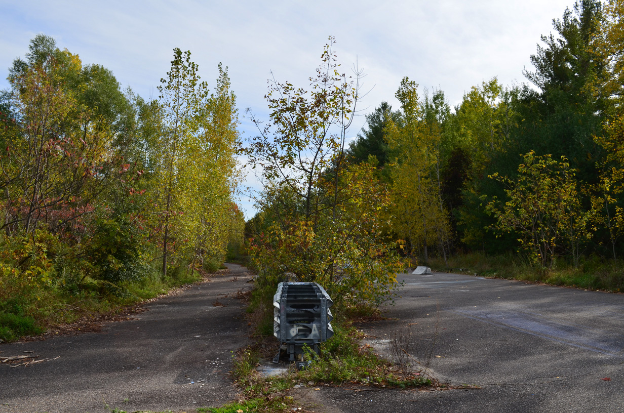
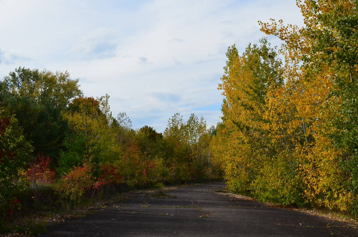
A median cut along Champlain Parkway.
08/02/07
10/07/14
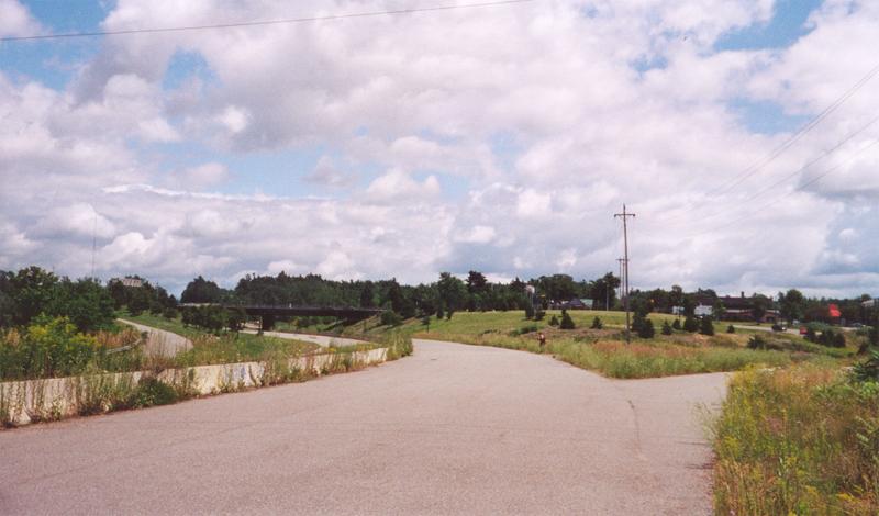
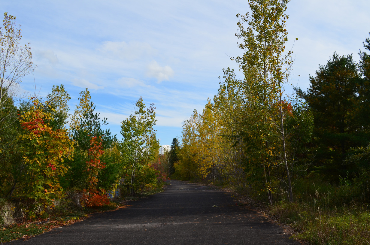
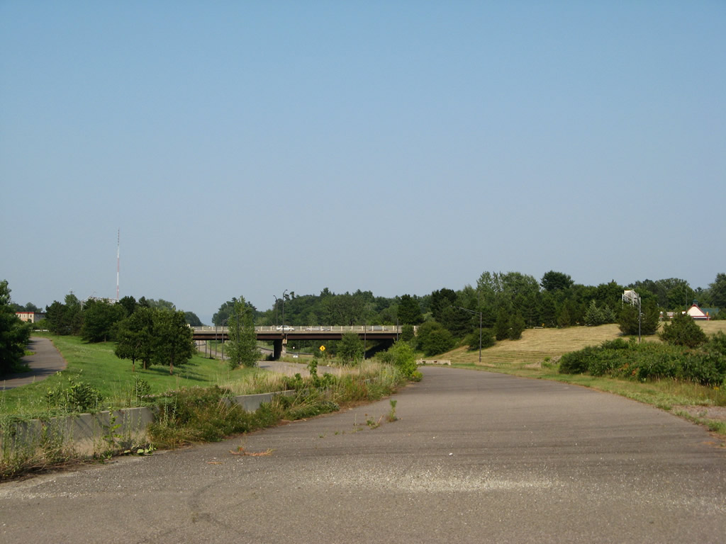
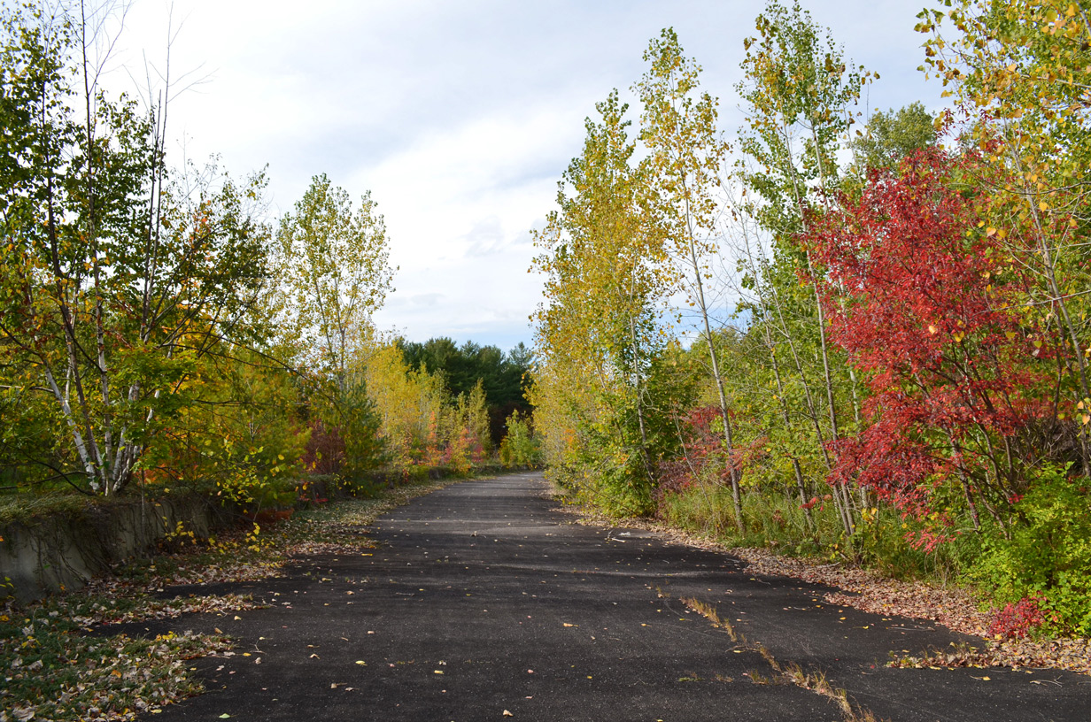
Curving southeast along Champlain Parkway toward Pine Street.
08/02/07
10/07/14
Rock terracing along the north side of Champlain Parkway by Southcrest Drive.
08/02/07
Concrete barriers line the west side of Pine Street as it crosses the corridor of Champlain Parkway.
08/02/07
10/07/14
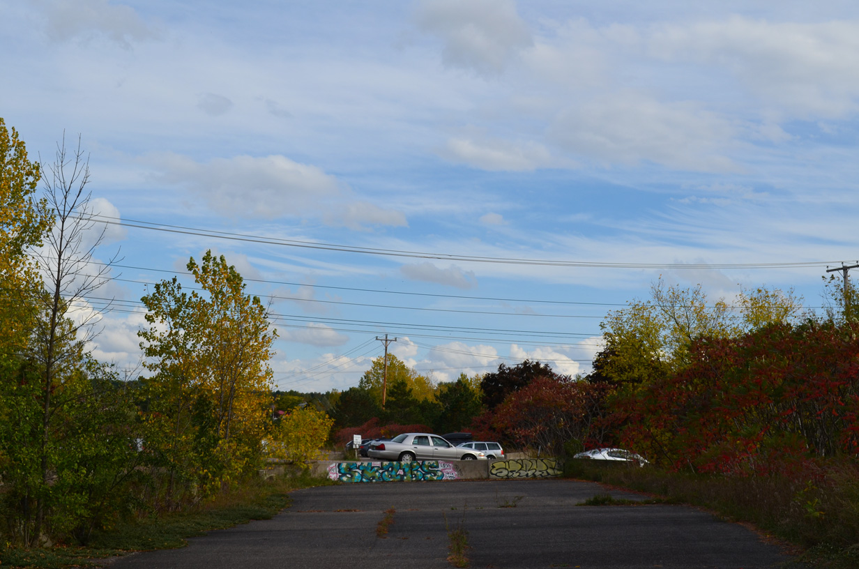
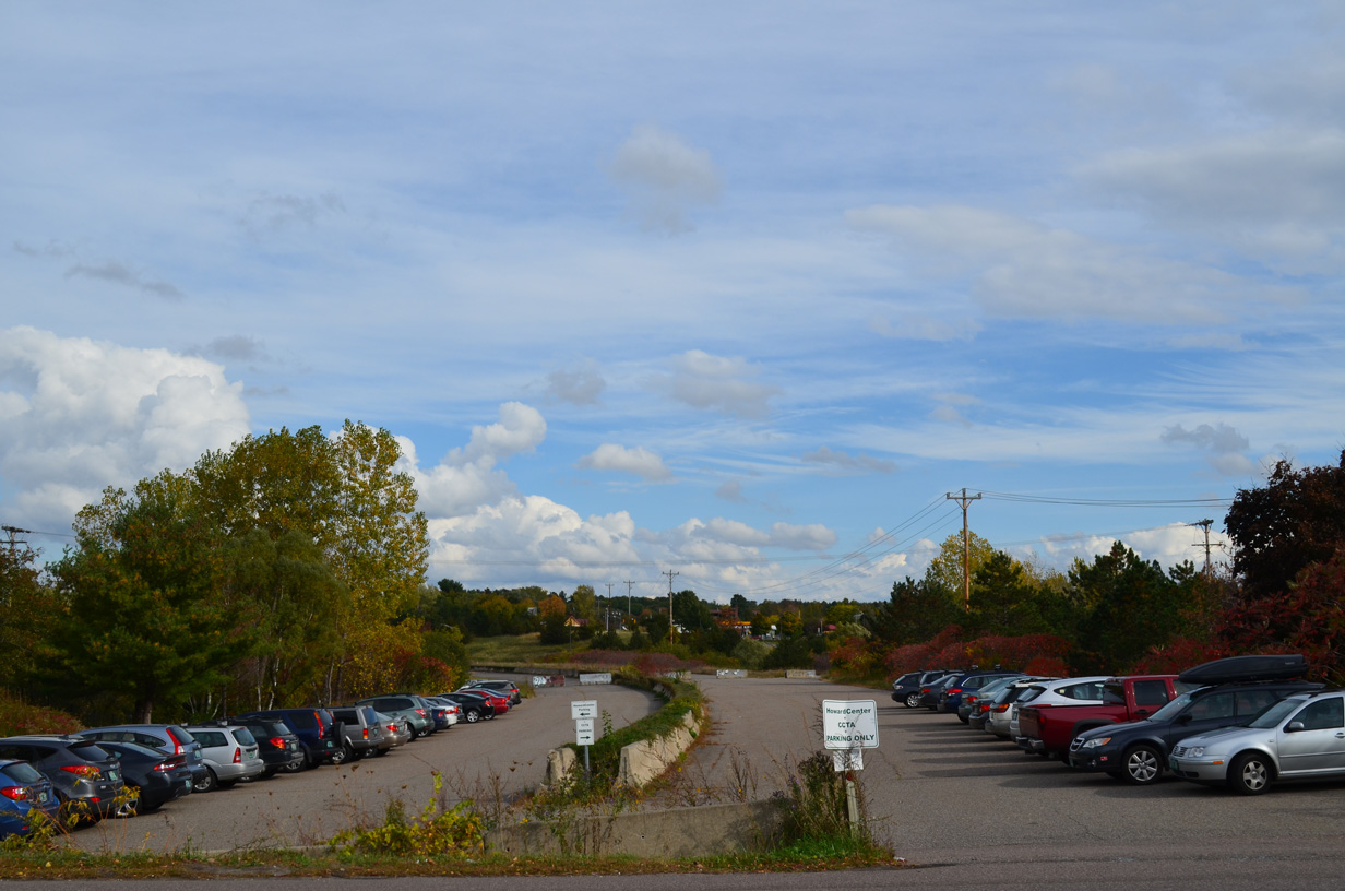
A portion of the roadways for Champlain Parkway on the east side of Pine Street were recommissioned as overflow parking for the adjacent Howard Center and a Chittenden County Transportation Authority (CCTA) bus stop.
08/02/07
10/07/14
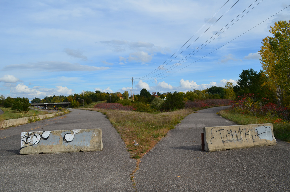
Another set of barriers block the eastbound roadway and unopened ramp to U.S. 7 (Shelburne Road) at Queen City Parkway.
08/02/07
10/07/14
The southbound ramp to Champlain Parkway from U.S. 7 (Shelburne Road) south appears to the left.
07/23/00
08/02/07
10/07/14
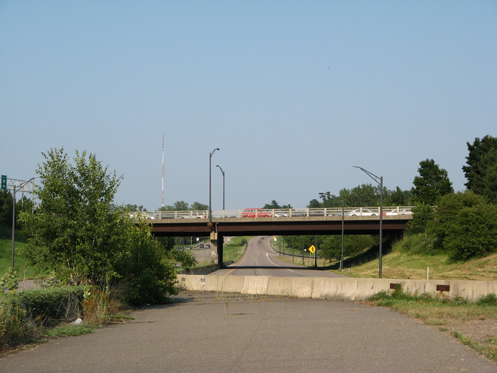
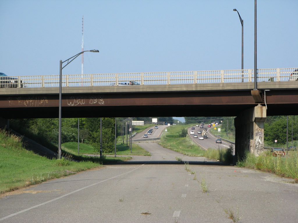
A loop ramp joins Interstate 189 east from U.S. 7 south beyond this barrier at the end of the unused portion of Champlain Parkway.
08/02/07
The unused loop ramp from U.S. 7 (Shelburne Road) north to Champlain Parkway north will be used when the last section of roadway opens in 2026.
08/02/07
The unused ramp built to connect U.S. 7 (Shelburne Road) north with Champlain Parkway north.
08/02/07
The westbound roadway of Champlain Parkway was used as a two lane ramp from I-189 to U.S. 7 south until sometime in the 1990s. Striping and overhead lighting fixtures remained along the closed ramp.
07/23/00
08/02/07
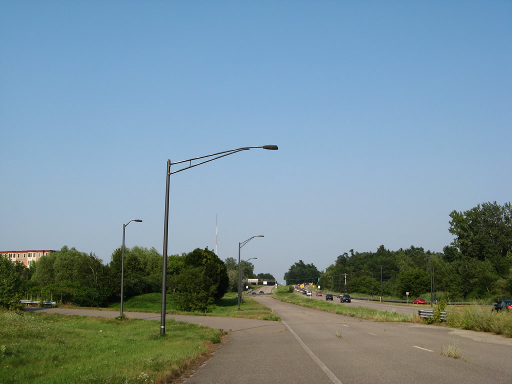
Looking east from the U.S. 7 (Shelburne Road) overpass above the I-189 westbound beginning and closed Champlain Parkway north.
07/23/00
08/02/07
The unused entrance ramp to Champlain Parkway from U.S. 7 (Shelburne Road) south will open to traffic with the parkway in 2026.
08/02/07
The unused on-ramp to Champlain Parkway from U.S. 7 (Shelburne Road) south.
08/02/07
Facing west along Champlain Parkway at Pine Street.
08/02/07
10/07/14
Rock outcroppings on Interstate 189 to the west of Pine Street.
07/23/00
10/07/14
Curving northwest from Pine Street between Southcrest Drive and Queen City Avenue along Champlain Parkway.
08/02/07
10/07/14
A Vermont Railway line runs just to the west of Champlain Parkway.
08/02/07
10/07/14
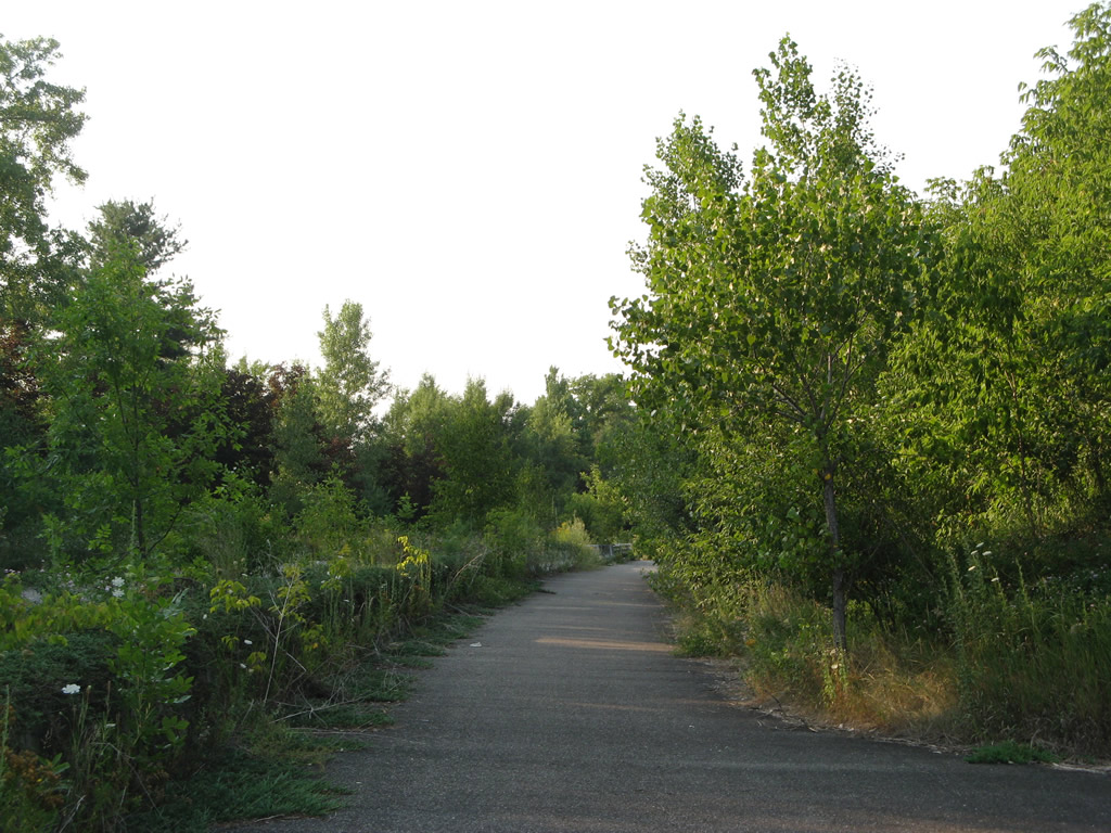
More overgrowth of vegetation along the Champlain Parkway right of way.
08/02/07
10/07/14
The median cut along Champlain Parkway located west of Baird Street.
08/02/07
10/07/14
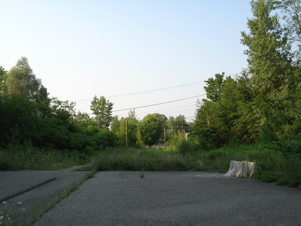
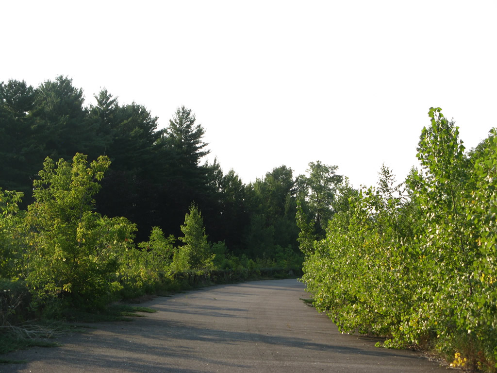
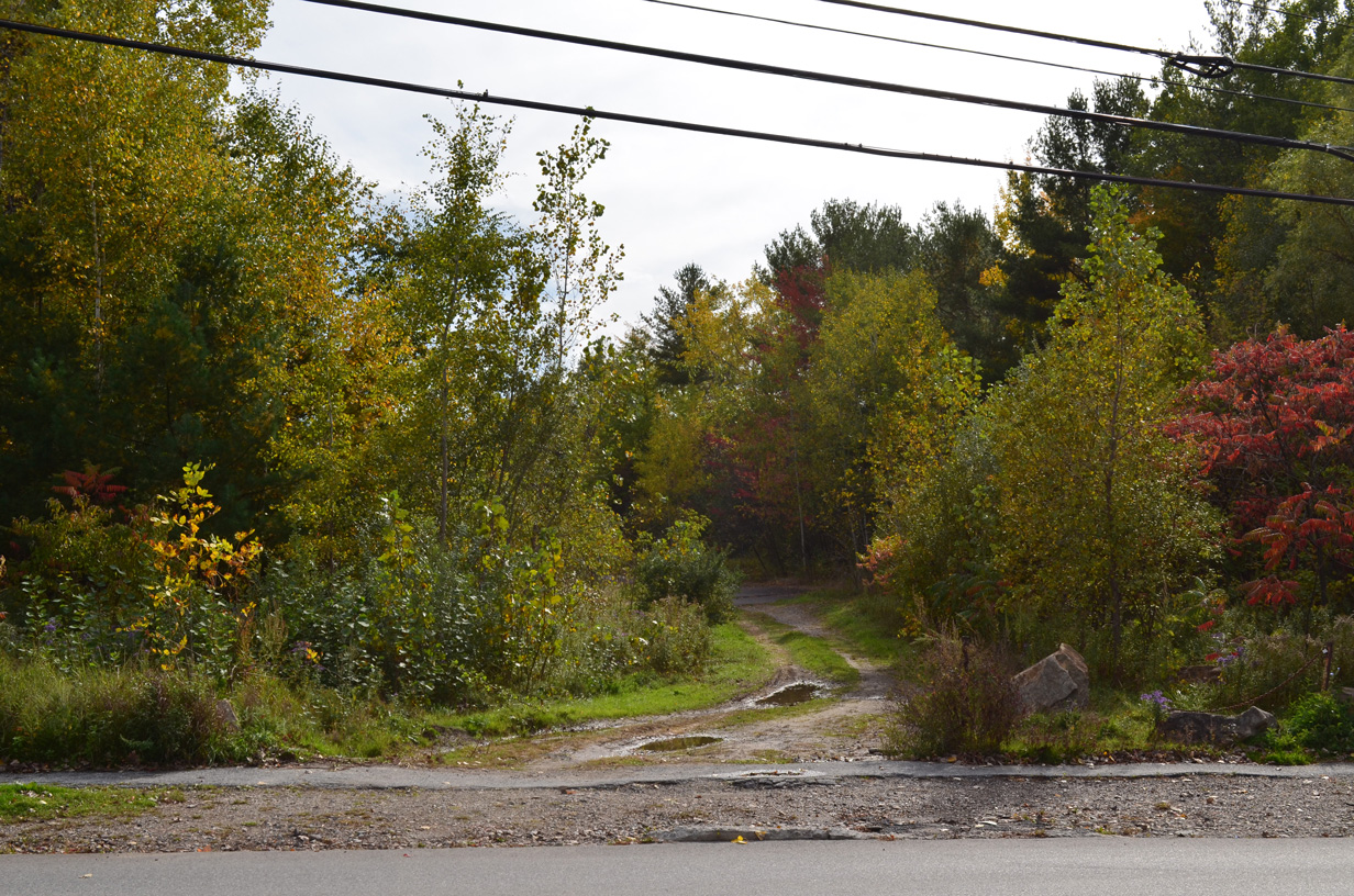
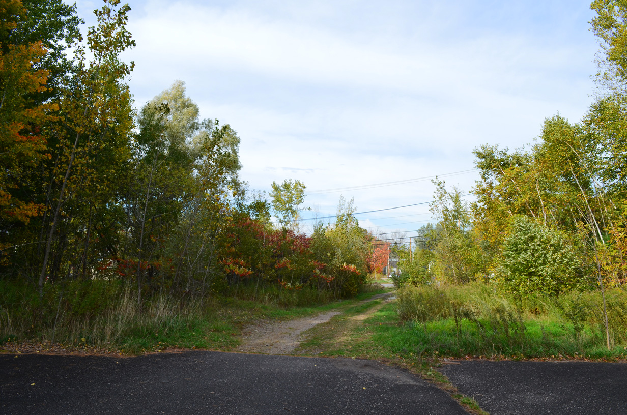
The north end of pavement and adjacent dirt trail leading to Home Avenue at Batchelder Street.
08/02/07
10/07/14
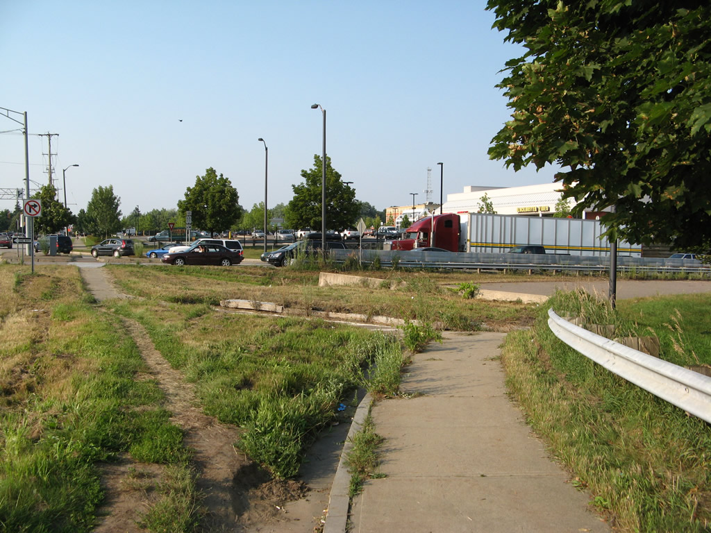
Queen City Park Road east intersects the south end of Pine Street adjacent to Champlain Parkway and its adjacent multi-use trail (Champlain Parkway Path).
10/07/14

Queen City Park Road defaults onto the former ramp from I-189 west to U.S. 7 south. A yield sign remains from when this connection was open.
08/02/07
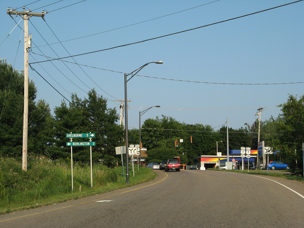
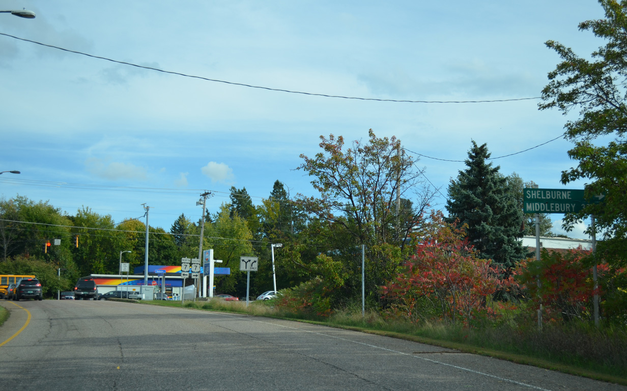
Small distance signs directed traffic from the east end of Queen City Park Road onto U.S. 7 (Shelburne Road) north two miles to Downtown Burlington and south five miles to the Shelburne town center and 32 miles to Middlebury. These are leftover signs from when I-189 west ended here.
08/02/07
10/07/14
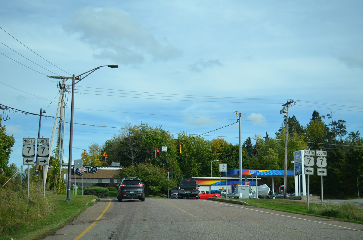
U.S. 7 shields remain from when I-189 ended where Queen City Park Road intersects Shelburne Road.
10/07/14
References:
Saxe. A. (2026, June 17). A timeline for Champlain Parkway opening. WCAX. https://www.wcax.com/2026/06/17/timeline-champlain-parkway-opening/
Photo Credits:
- ABRoads: 10/07/14
- Alex Nitzman: 04/26/26
- AARoads: 07/23/00, 08/02/07
Connect with:
Page Updated Thursday June 25, 2026.