
Vermont Road & Highway Photo Guides
Sitemap to all road and highway photo guides covering the state of Vermont.
Interstates
 Interstate 89
391 photos
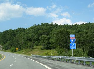
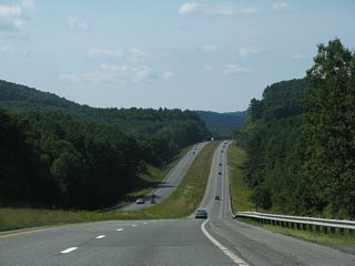
 Interstate 91
332 photos
 Interstate 93
30 photos
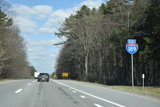
 Interstate 189
23 photos
U.S. Highways
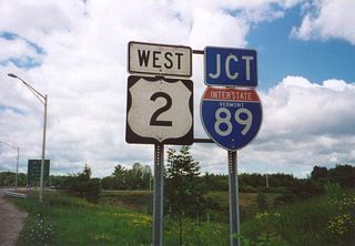
 U.S. 2
23 photos
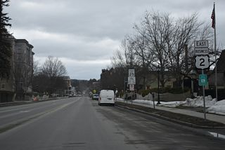
 U.S. 2 Business - Montpelier
18 photos
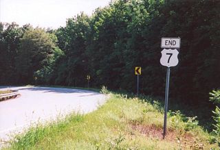
 U.S. 7
6 photos
Other Roads
52 photos
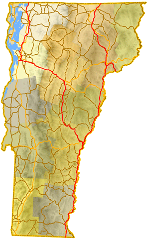
Photo Coverage of Roads and Highways in Vermont
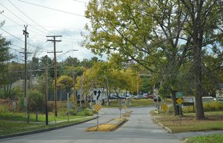
AARoads documents highways and roads across Vermont with route-by-route photo guides organized by direction of travel. Coverage includes Interstate Highways, U.S. Routes, Vermont State Routes, and select named roads.
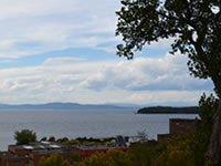
Photo guides focus on highway signage, interchanges, route markers, city limit signs, county lines, and notable points of interest along each route. Coverage emphasizes Lake Champlain area roads and long mountainous corridors with detailed documentation of reassurance markers and town lines.
New and updated photos for Vermont routes are added periodically and cataloged on the updates page.
City Guides
Burlington
13 PhotosPhotographic Contributors
Photography by Alex Nitzman, Andy Field, Brent Ivy and Shaun Ganley.
About Vermont
- Capital:
 Montpelier
 - Nickname: Green Mountain State
- Area: Ranked 45th in the U.S., 9,216 sq mi or 23,871 sq km
- Statehood: March 4, 1791 - 14th state
- Total Interstate Mileage: 320.22 miles
- Highest Point: Mount Mansfield - 4,393 feet (1339 meters) above sea level
- Lowest point: Lake Champlain between 95 and 100 feet (29 to 30 meters)
- Number of Counties: 14
Last updated: Tuesday April 14, 2026