
State Highway 2
Mostly an urban route, Colorado State Highway 2 stretches 9.84 miles north from U.S. 285 (Hampden Avenue) at Cherry Hills Village and the Wellshire neighborhood in south Denver to U.S. 6/85 (Vasquez Boulevard) in Commerce City. SH 2 combines with U.S. 6/85 north from Elyria / Swansea in Denver.
SH 2 formerly branched northeast from U.S. 6/85 (Vasquez Boulevard) along old U.S. 6/85 through Commerce City. Paralleling BNSF Railroad tracks, SH 2 continued to Interstate 76 at Exit 16 along the Brighton and Commerce City line. A 0.438 mile section of SH 2 (Route 002D) remains between O'Brian Canal and the diamond interchange with I-76/U.S. 6.
SH 2 previously extended 19.94 miles from U.S. 285 to Interstate 76 at Brighton.
 North
North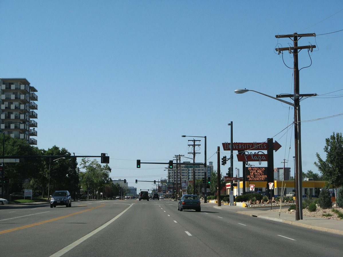
SH 2 (Colorado Boulevard) heads north from Yale Avenue to University Hills Plaza.
06/29/08
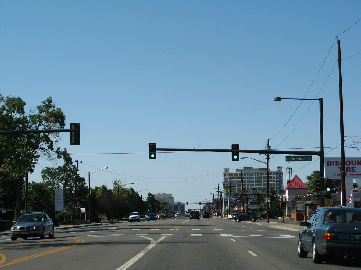
Dickenson Place stems east from Colorado Boulevard to Birch Street in the University Hills neighborhood.
06/29/08
The reassurance marker for SH 2 posted north of Dickenson Place was removed by 2011.
06/29/08
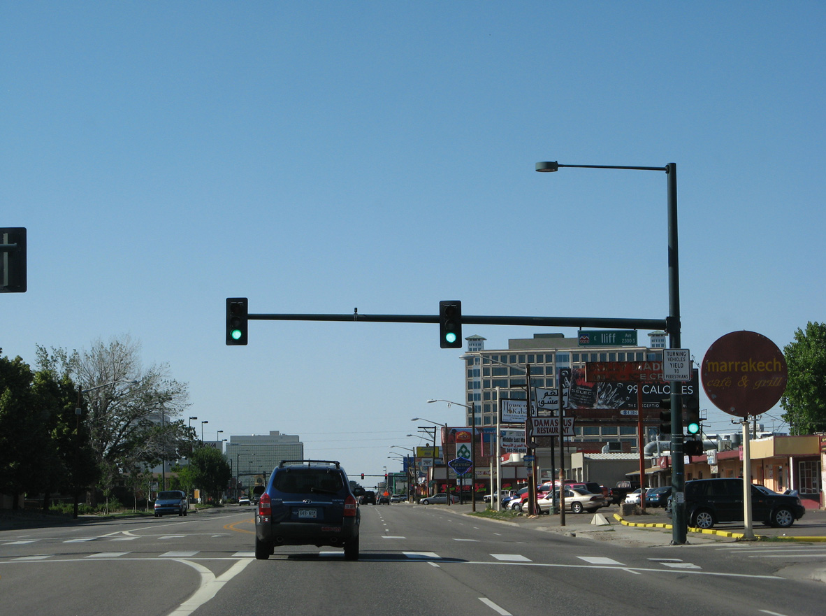
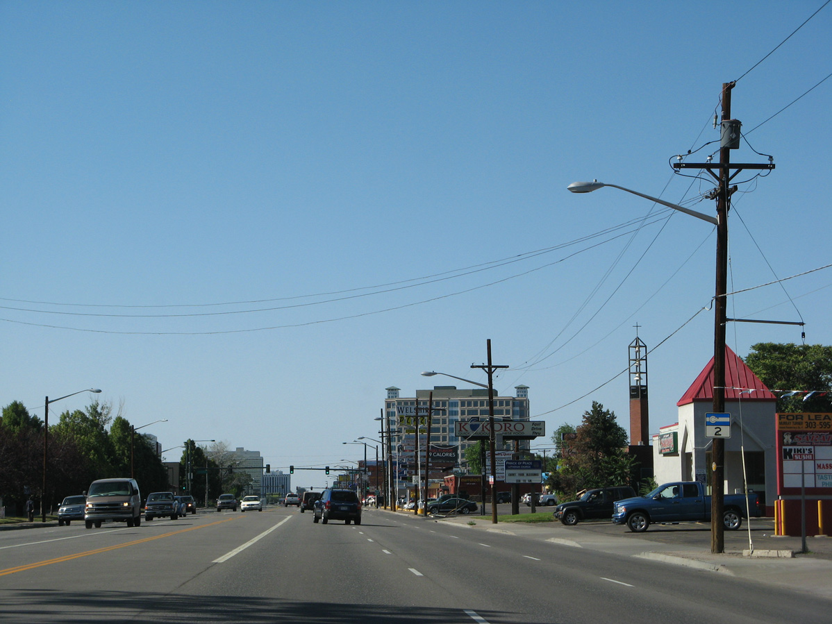
Colorado Boulevard north at Iliff Avenue.
06/29/08
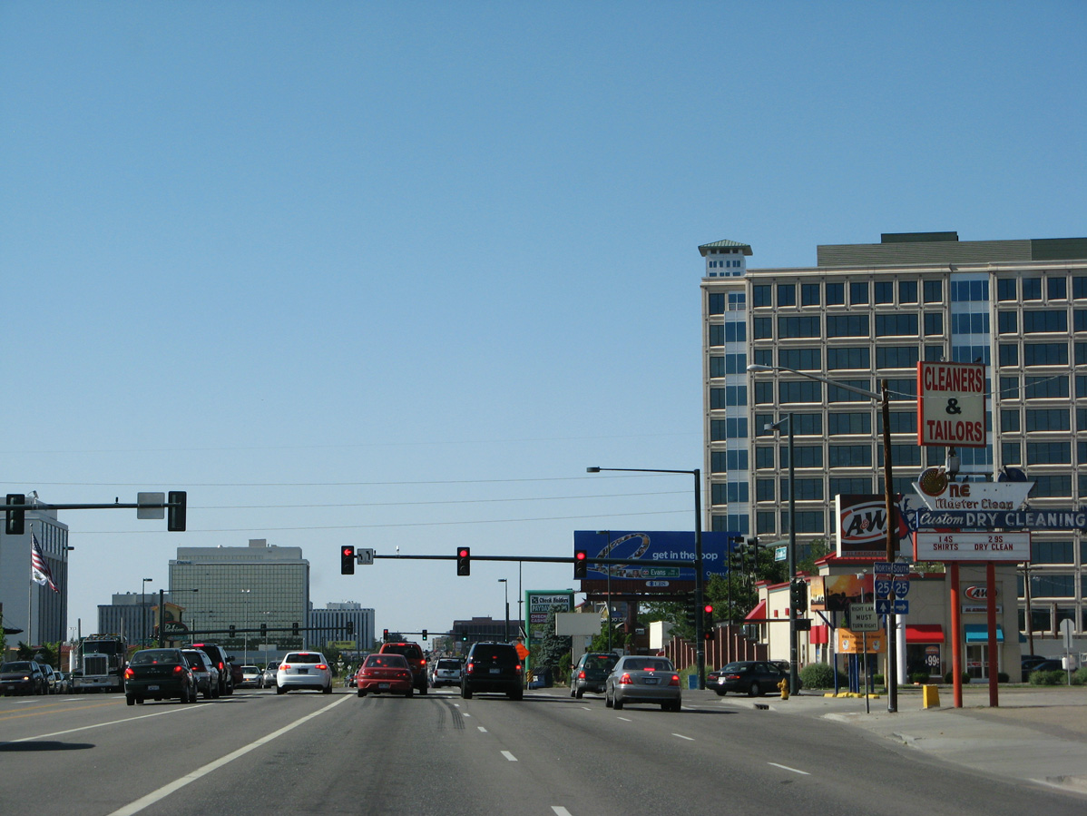
Evans Avenue connects SH 2 (Colorado Boulevard) with I-25 south, as there is no access to the entrance ramp at S Frontage Road.
06/29/08
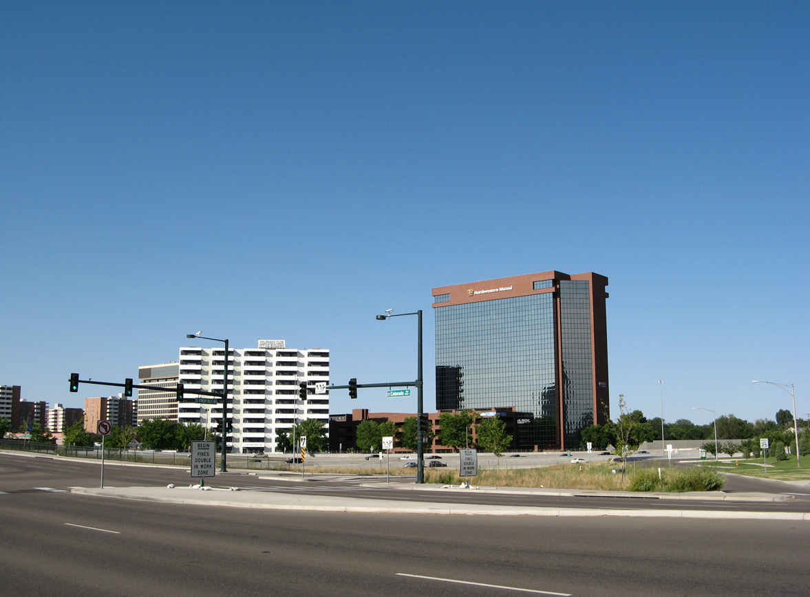
Colorado Center mall lies between SH 2 (Colorado Boulevard) and Interstate 25.
06/29/08
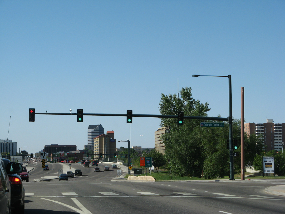
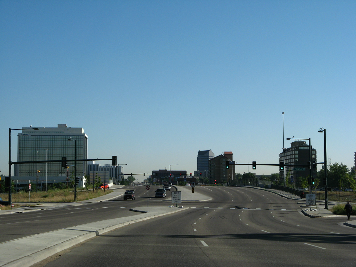
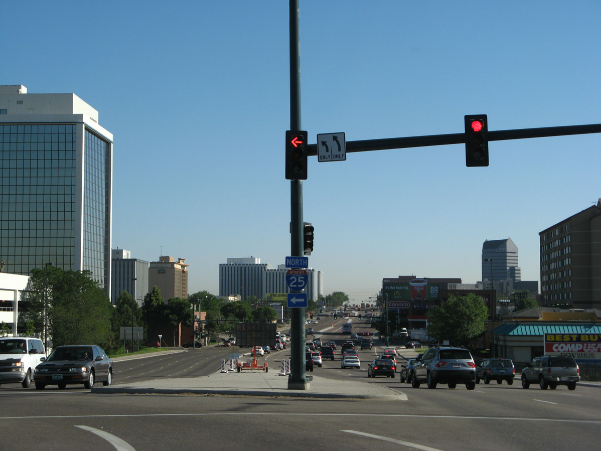
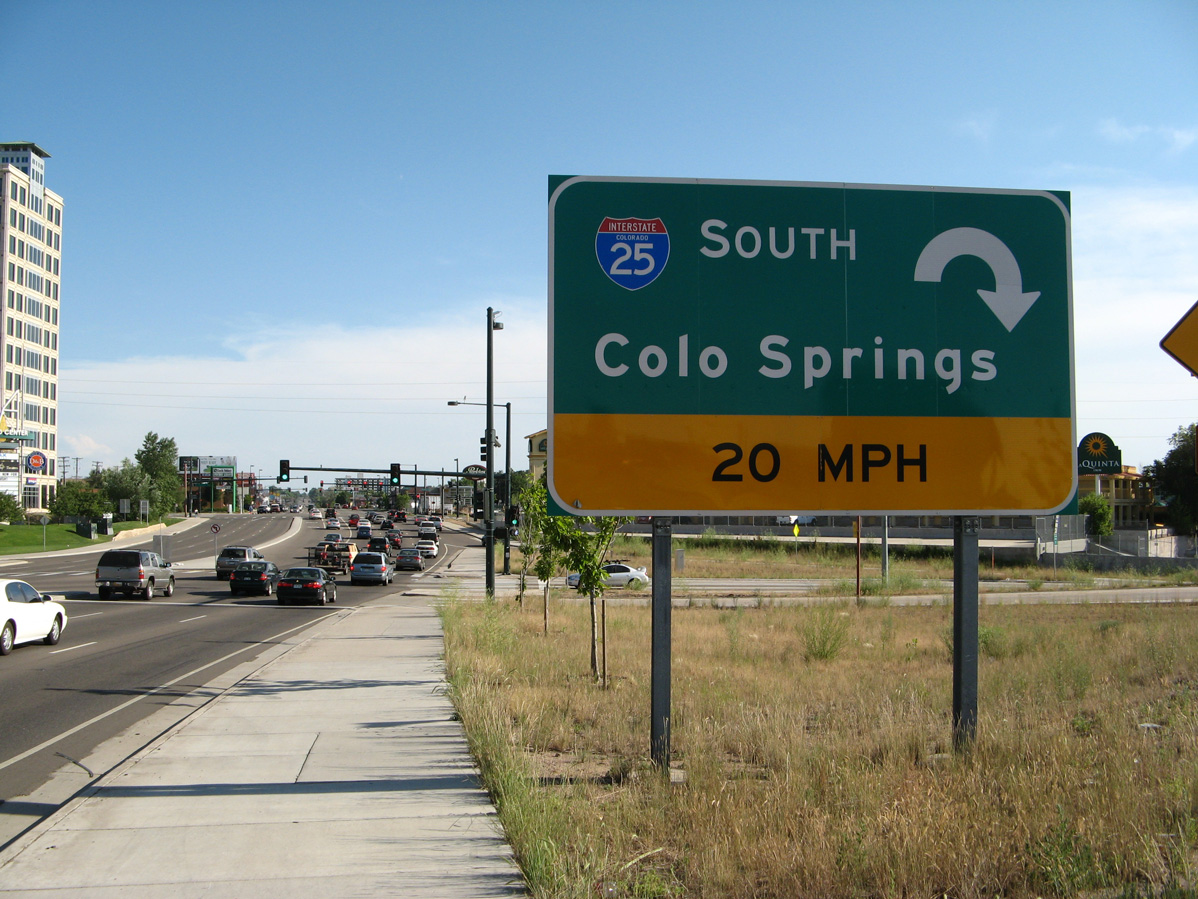
SH 2 enters a parclo interchange (Exit 204) with Interstate 25 just north of Colorado Center.
06/29/08
S Frontage Road encircles Colorado Center east from SH 2 to Colorado Center Drive.
06/30/08
06/29/08
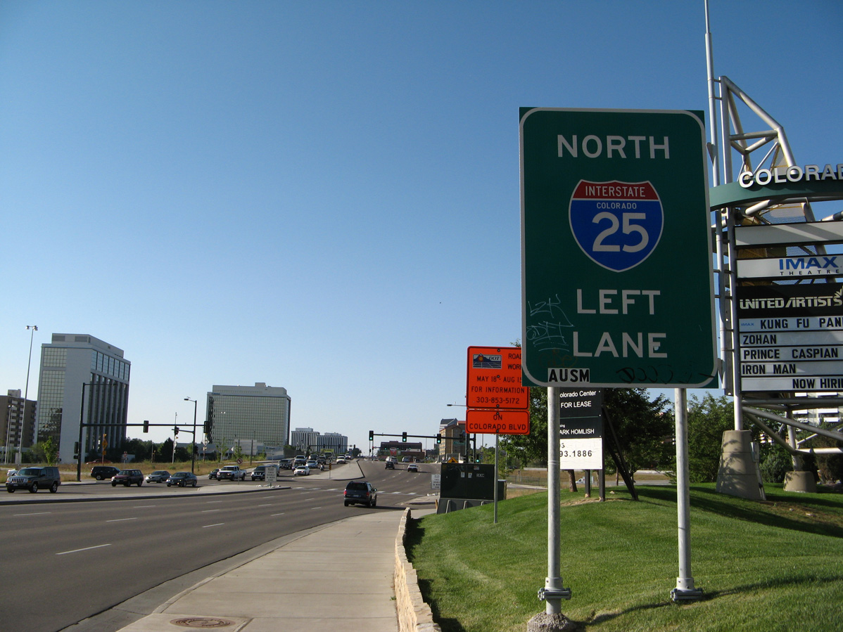
Prior to the T-Rex reconstruction project along Interstate 25, a loop ramp joined SH 2 (Colorado Boulevard) north with the freeway northbound.
06/29/08
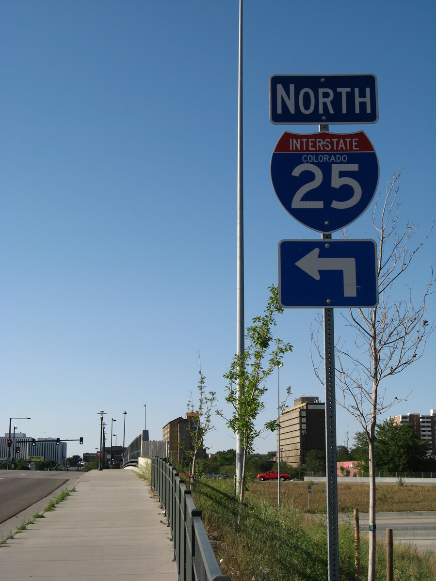
Interstate 25 arcs northwest from SH 2 between Cory-Merrill and University Park to Washington Park, Baker and Downtown Denver.
06/30/08
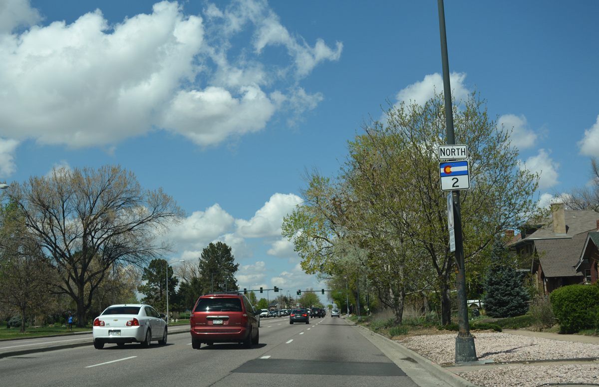
SH 2 is unmarked along Colorado Boulevard, as it leads north from Colfax Avenue (Business Loop I-70) between City Park and South Park Hill.
04/22/17
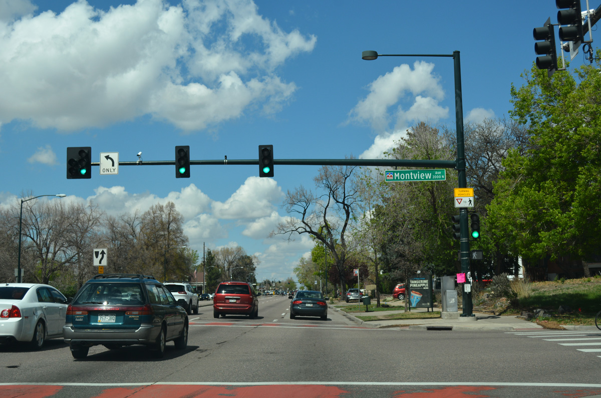
Montview Boulevard intersects SH 2 across from Denver Museum of Nature & Science in City Park.
04/22/17
A reassurance marker for SH 2 appears midway between Montview Boulevard and 23rd Avenue.
04/22/17
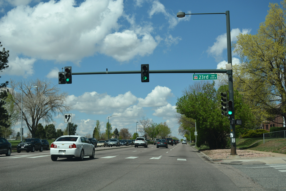
23rd Avenue runs west to Denver Zoo and City Park Golf Course and east between the Park Hill neighborhoods.
04/22/17
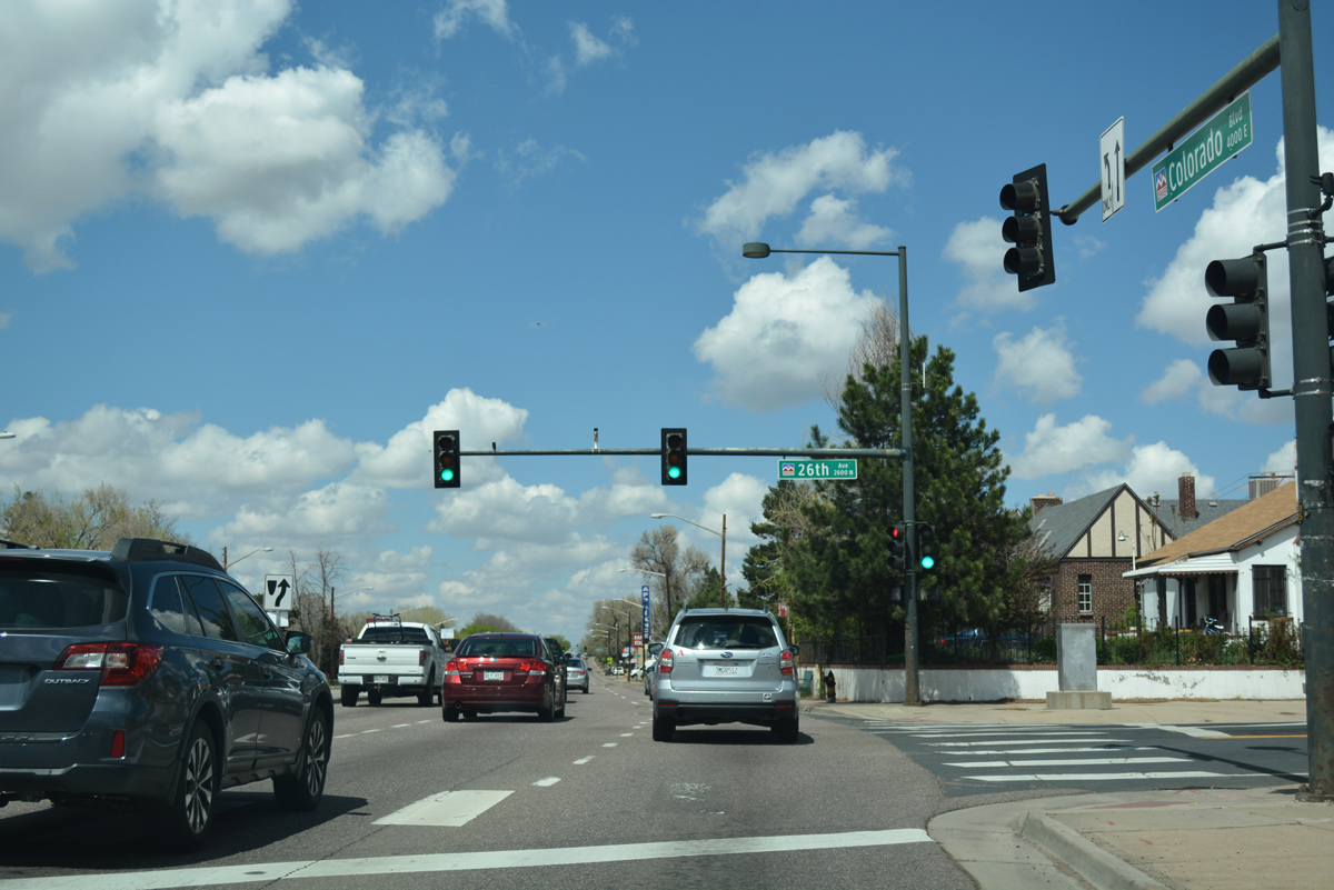
26th Avenue follows along the north side of City Park Golf Course and east through North Park Hill.
04/22/17
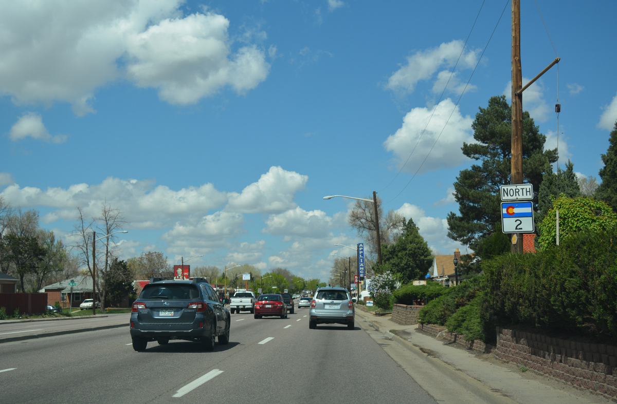
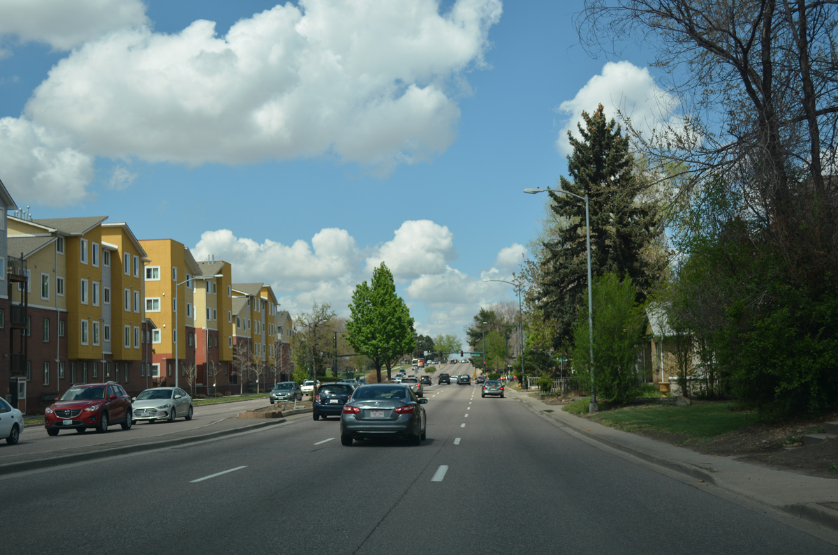
Leaving City Park along SH 2 (Colorado Boulevard) northbound.
04/22/17
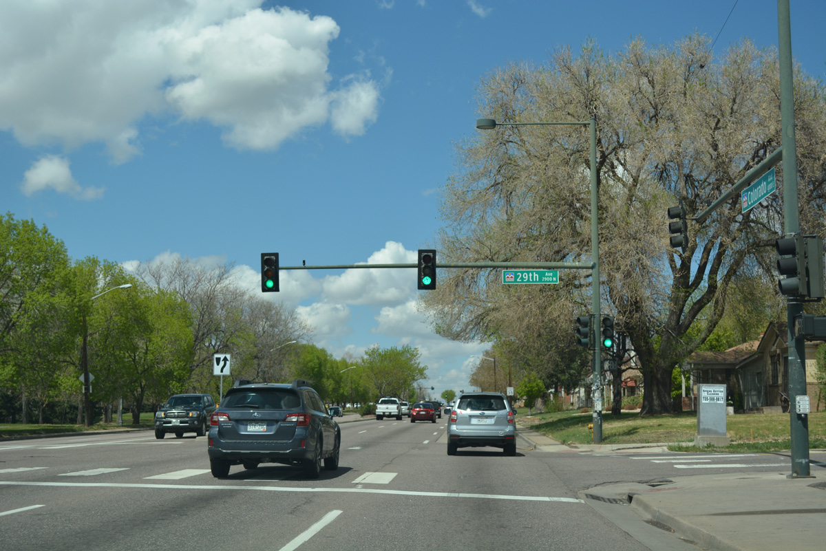
The ensuing traffic light operates at 29th Avenue, which leads west through the Skyland neighborhood to Whittier.
04/22/17
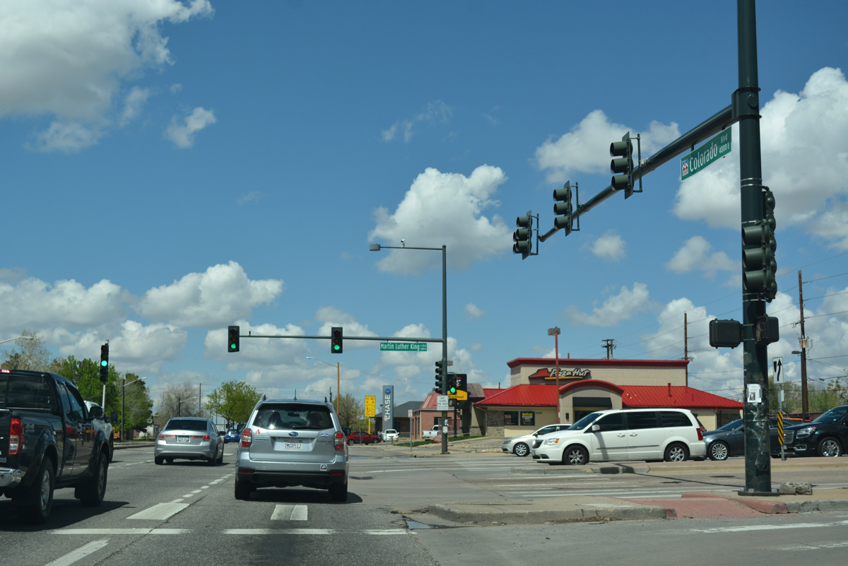
Martin Luther King, Jr. Boulevard formerly provided the gateway to Denver Stapleton International Airport. The tree lined parkway separates the Northeast Park Hill and North Park Hill communities east to Quebec Street (old SH 35).
04/22/17
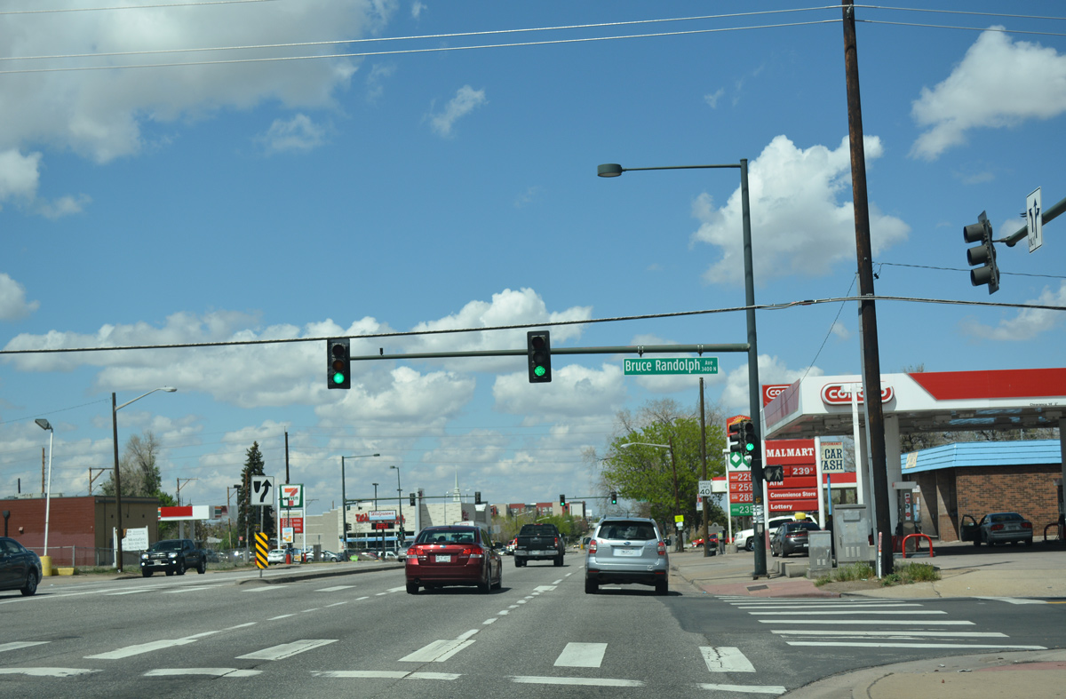
The signal at Bruce Randolph Avenue serves residential areas of Clayton and a school to the west.
04/22/17
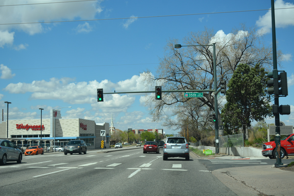
SH 2 (Colorado Boulevard) and 35th Avenue intersect at the southwest corner of Park Hill Golf Club.
04/22/17
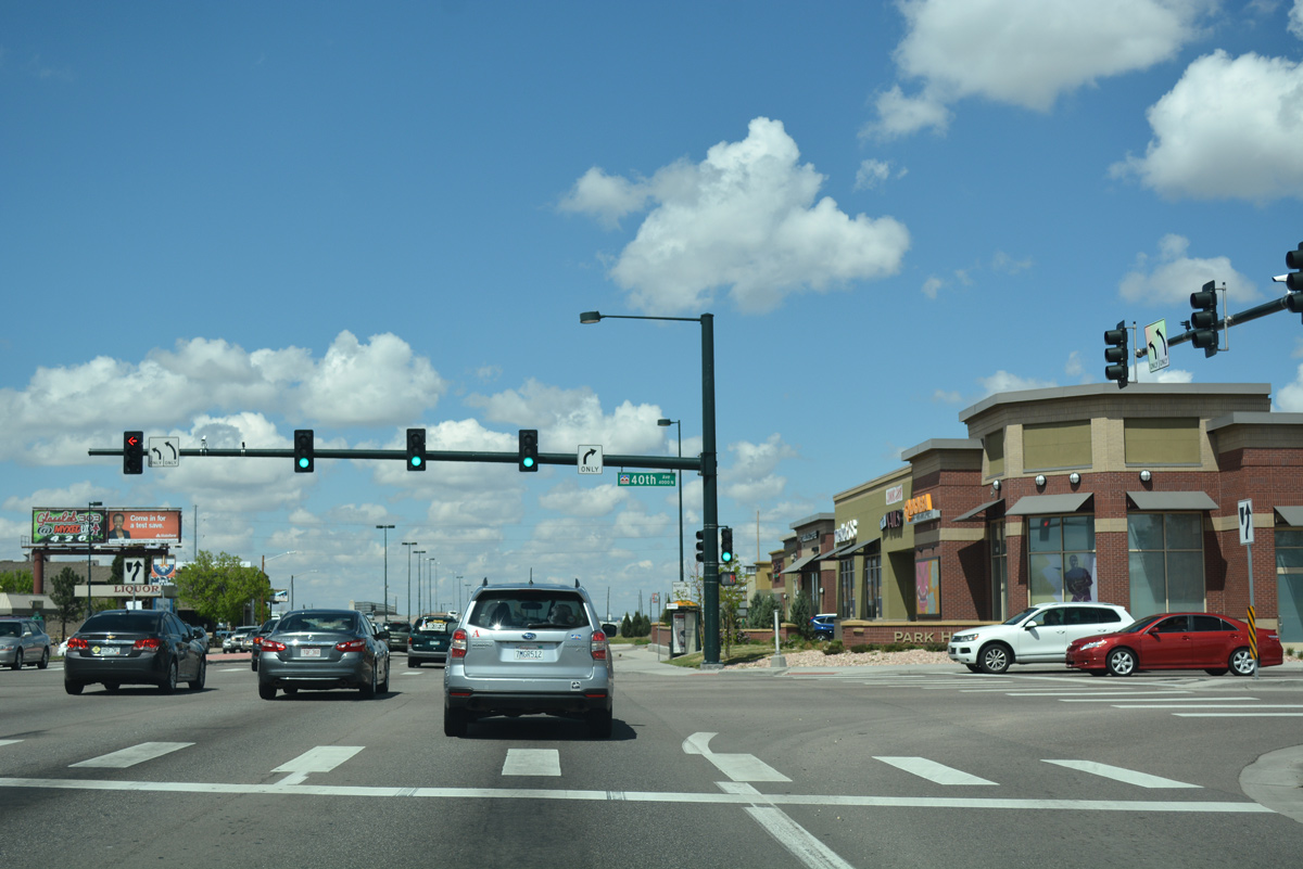
Advancing north, SH 2 meets 40th Avenue at the southeast corner of the Elyria Swansea neighborhood. 40th Avenue east becomes Albion Street north to Smith Road east for industrial areas of Northeast Park Hill.
04/22/17
A six lane viaduct spans the Union Pacific Railroad north from 40th Avenue on SH 2.
04/22/17
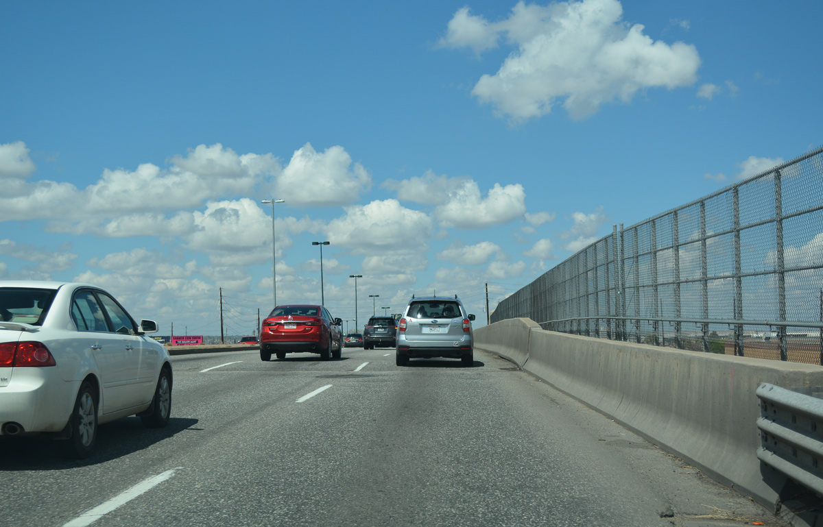
Beyond the railroad underpass, SH 2 enters a six-ramp parclo interchange with Interstate 70.
04/22/17
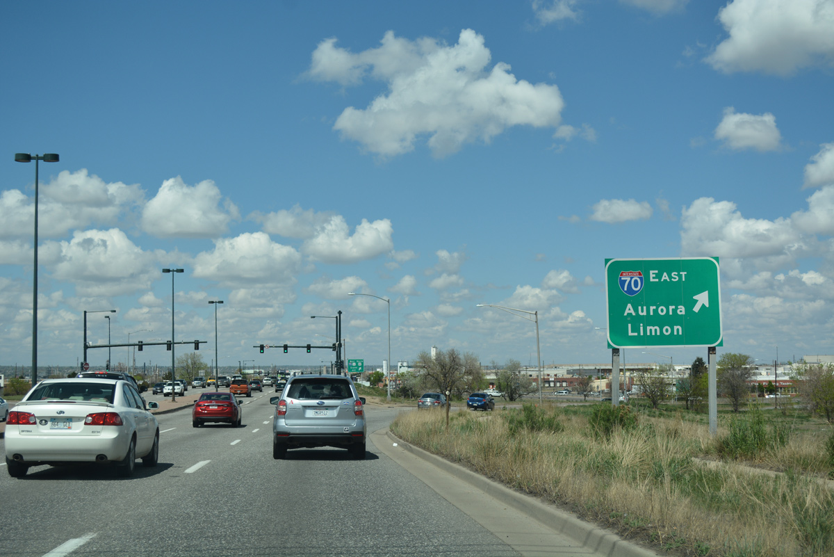
A loop ramp takes motorists onto Interstate 70 west to the adjacent overlap with U.S. 6/85 through Elyria Swansea. U.S. 6/85 east combine with SH 2 north ahead.
04/22/17
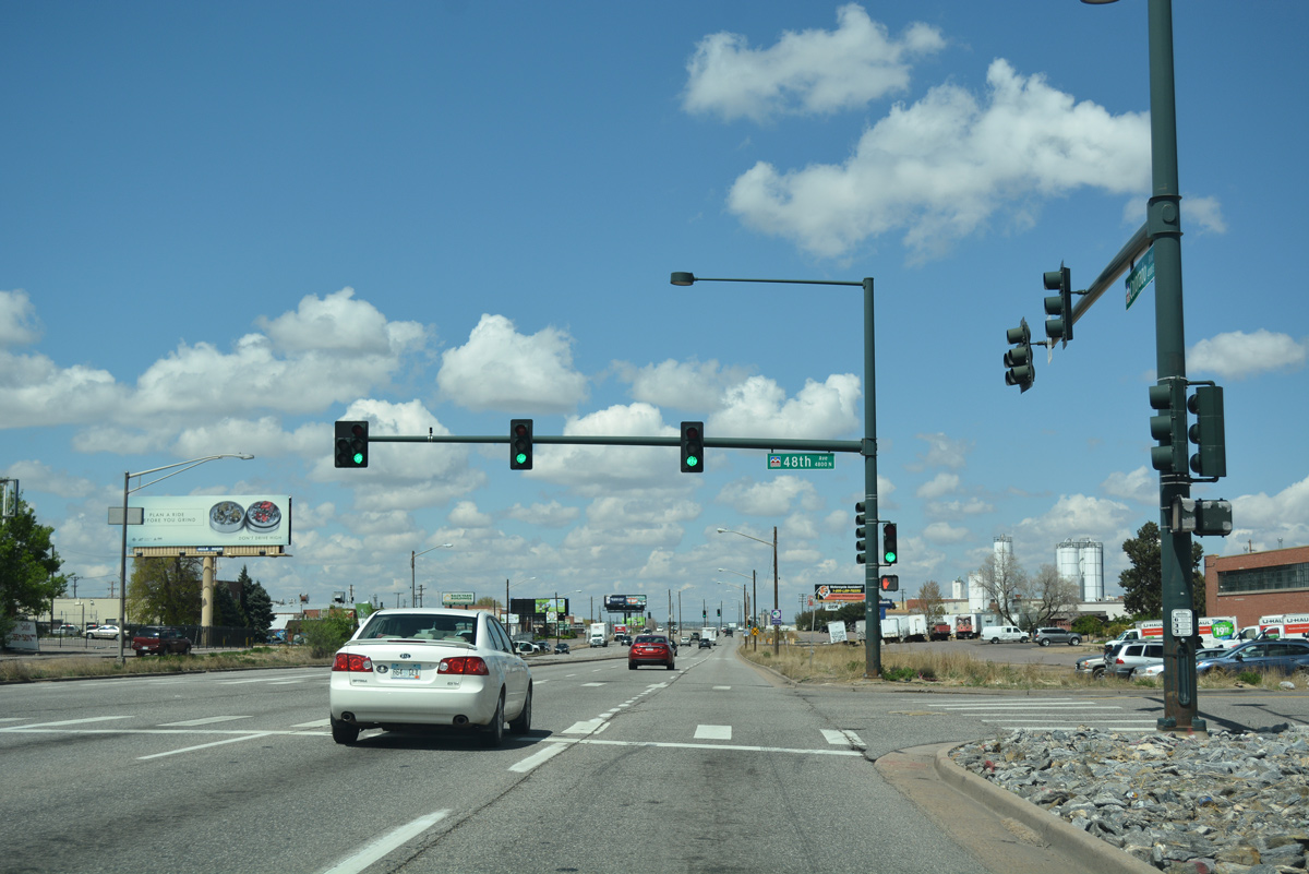
48th Avenue stems west from the east side frontage road through industrial areas north of I-70 and east of U.S. 6/85 (Vasquez Boulevard).
04/22/17
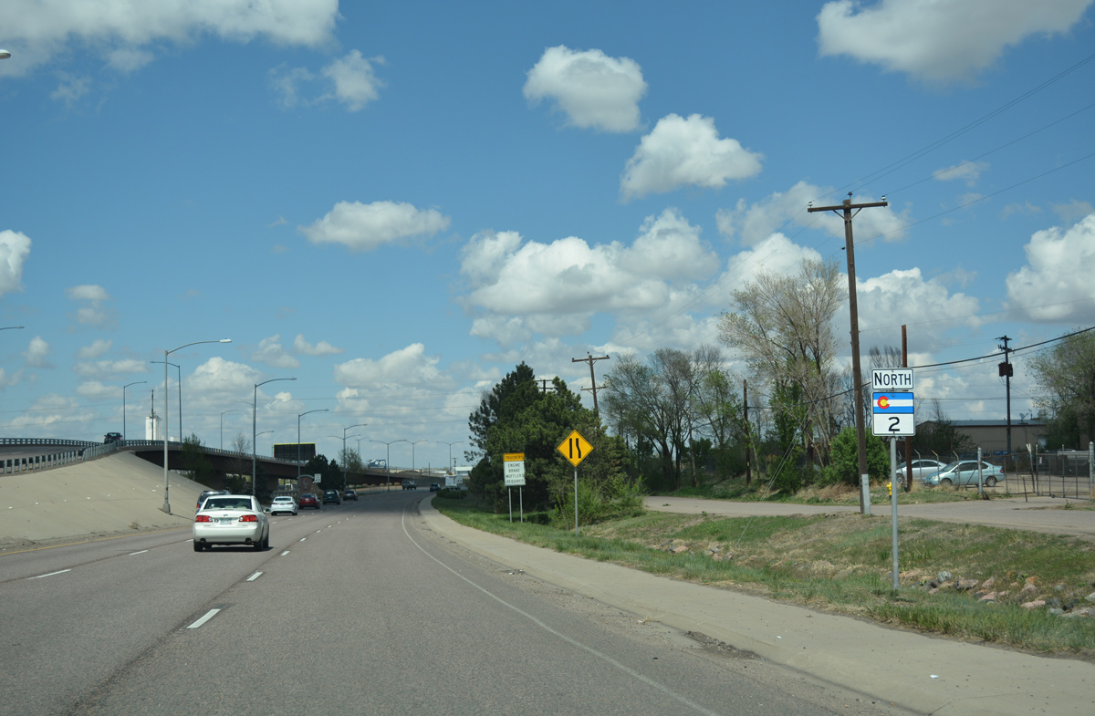
Confirming marker for SH 2 posted as the arterial progresses north from Interstate 70.
04/22/17
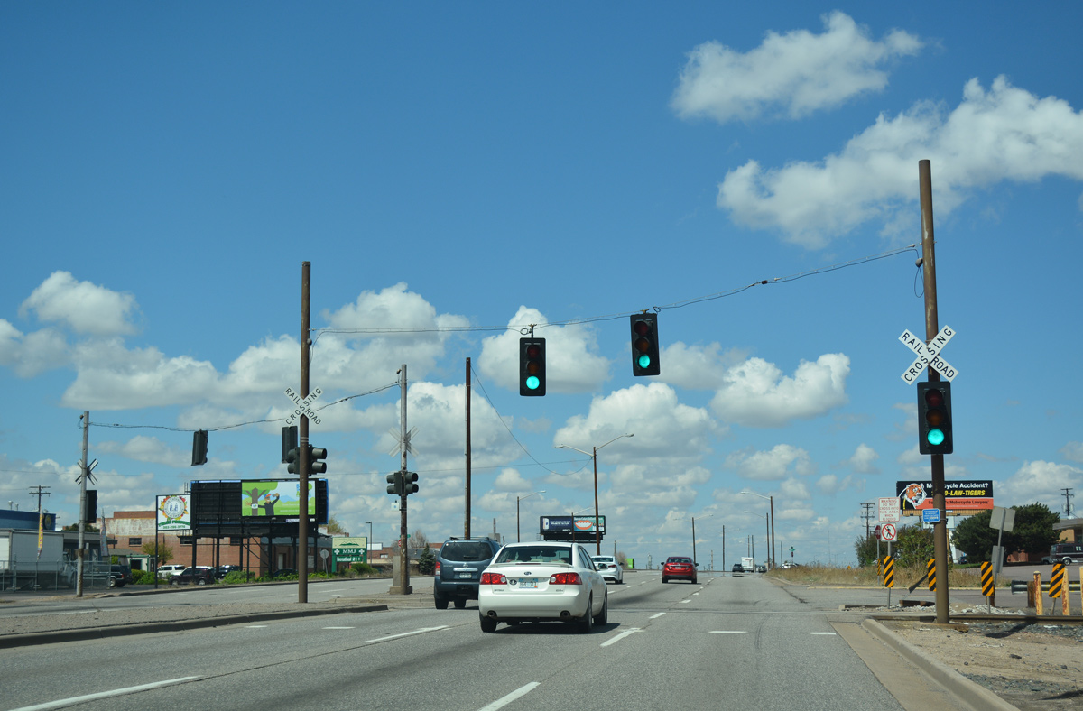
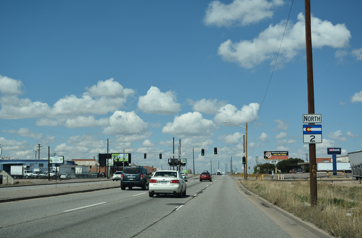
A set of span wire signals operate along SH 2 at the railroad crossing for a spur southeast into an adjacent industrial park.
04/22/17
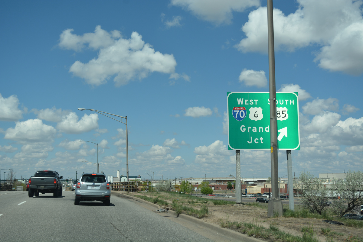
A wye interchange joins SH 2 north with U.S. 6 east / U.S. 85 north at Vasquez Boulevard.
04/22/17
South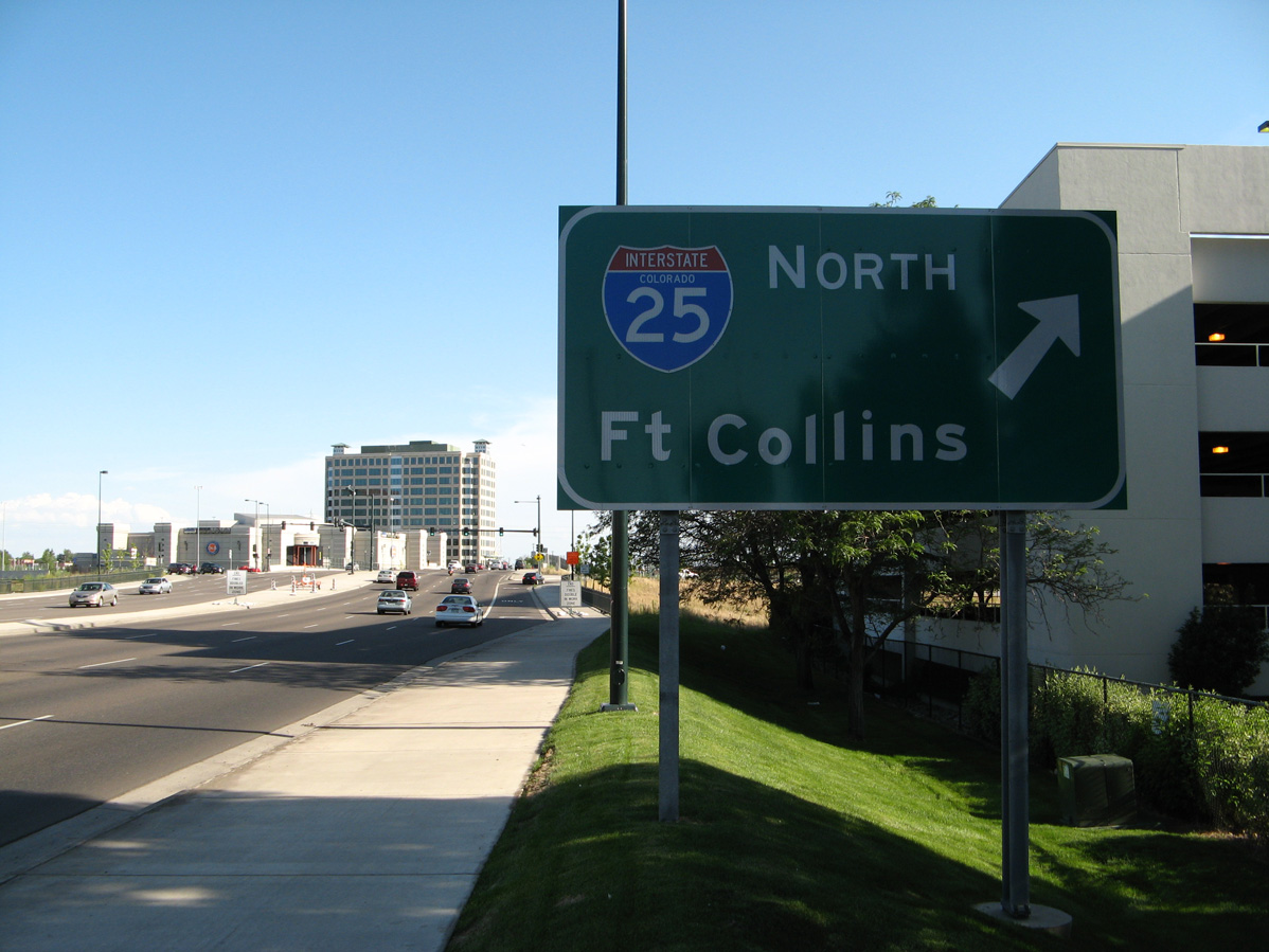
SH 2 (Colorado Boulevard) runs south between the Cory-Merrill and Virginia Village neighborhoods in Denver to a parclo interchange (Exit 204) with Interstate 25.
06/29/08
Separate entrance ramps link Colorado Boulevard southbound with Interstate 25.
06/29/08
Photo Credits:
- Andy Field: 06/29/08, 06/30/08
- ABRoads: 04/22/17
Connect with:
Page Updated Wednesday January 26, 2022.