
Colorado Road & Highway Photo Guides
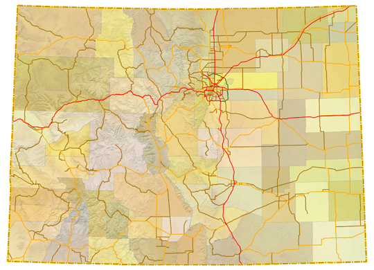
Sitemap to road and highway photo guides for Colorado.
Route Categories
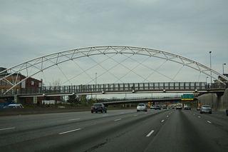
Interstates
5 routes, 3,042 photos
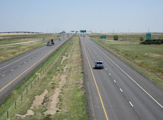
Toll Roads
2 routes, 224 photos
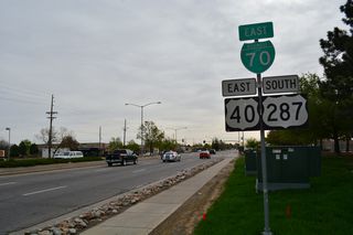
Business Routes
3 routes, 305 photos
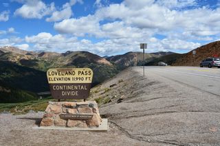
U.S. Highways
15 routes, 1,407 photos
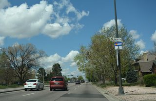
State Highways
23 routes, 550 photos
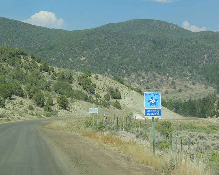
County Routes
1 routes, 6 photos
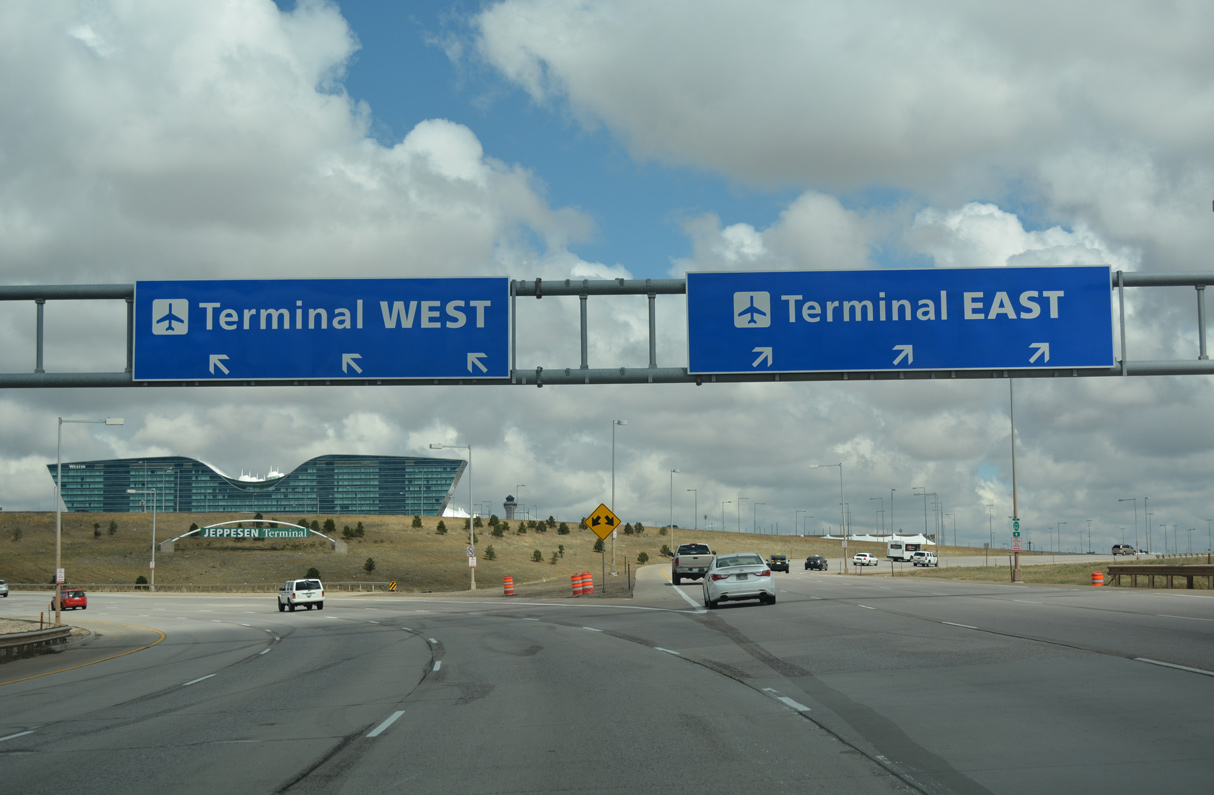
Other Roads
2 routes, 87 photos
Photo Coverage of Roads and Highways in Colorado
AARoads documents highways and roads across Colorado with route-by-route photo guides organized by direction of travel. Coverage includes Interstate Highways, U.S. Routes, Colorado State Highways, and select county routes and named roads.
Photo guides focus on highway signage, interchanges, route markers, city limit signs, county lines, and notable points of interest along each route. Routes are documented through mountainous terrain with emphasis on grade, curve, and pass signage.
New and updated photos for Colorado routes are added periodically and cataloged on the updates page.
City Guides
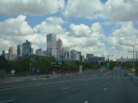
Denver
17 PhotosPhotographic Contributors
Photography by Alex Nitzman, Andy Field and Brent Ivy. Thanks also to David Wilson, Joe Lockhart, Kenyon Schuett and Matthew Salek for accompanying us on roadtrips through the Centennial State.
About Colorado
- Capital:
 Denver
 - Nickname: Centennial State
- Colorado has an average elevation of 6,800 feet above sea level
- Over 50 mountain peaks in Colorado are over 14,000 feet above sea level (referred to as the "fourteeners")
- Area: 104,093.57 square miles or 269,596 square kilometers, 8th largest
- Statehood: 38th state; admitted August 1, 1876
- Total Interstate Mileage: 951.85 miles
- Highest Point: Mount Elbert (southwest of Leadville and east of Aspen) 14,433 Feet above Sea Level
Last updated: Sunday March 3, 2024