
State Highway 58 - Golden Freeway
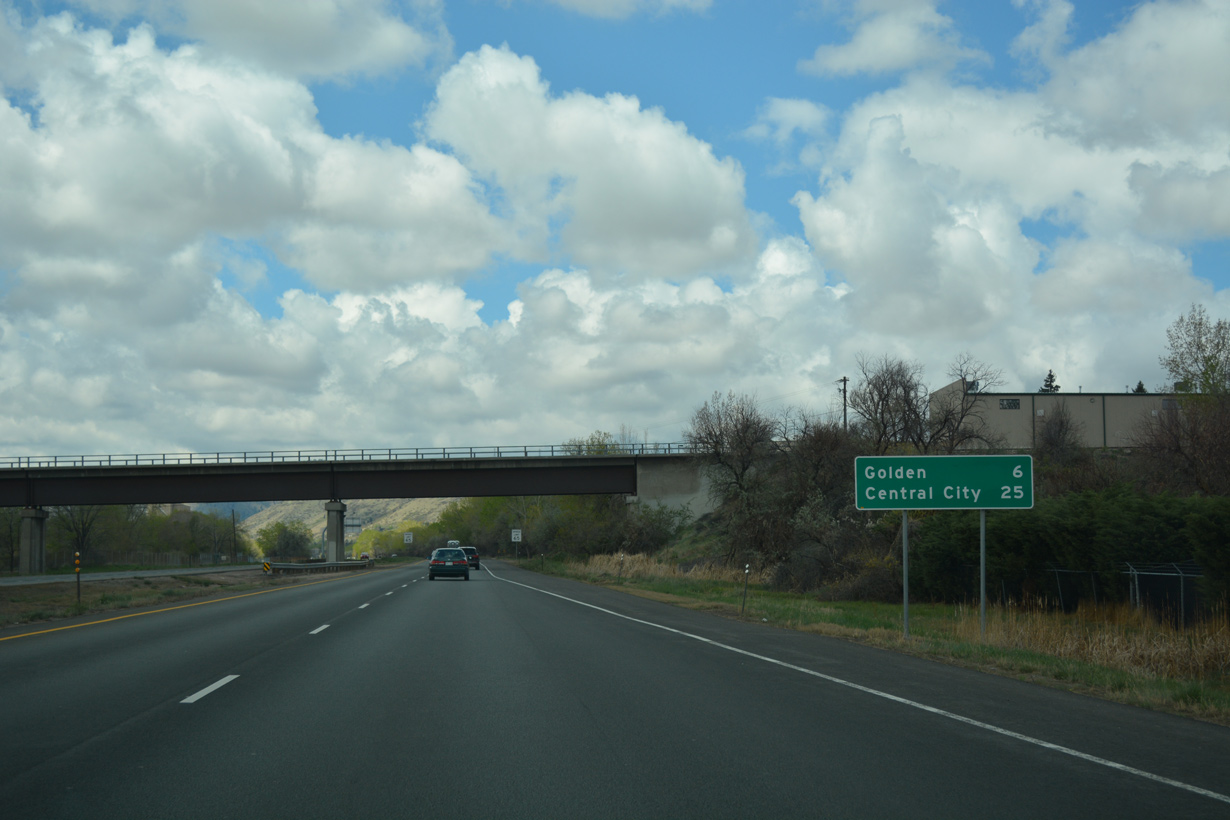
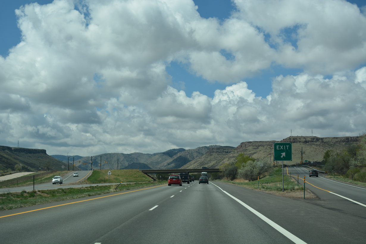
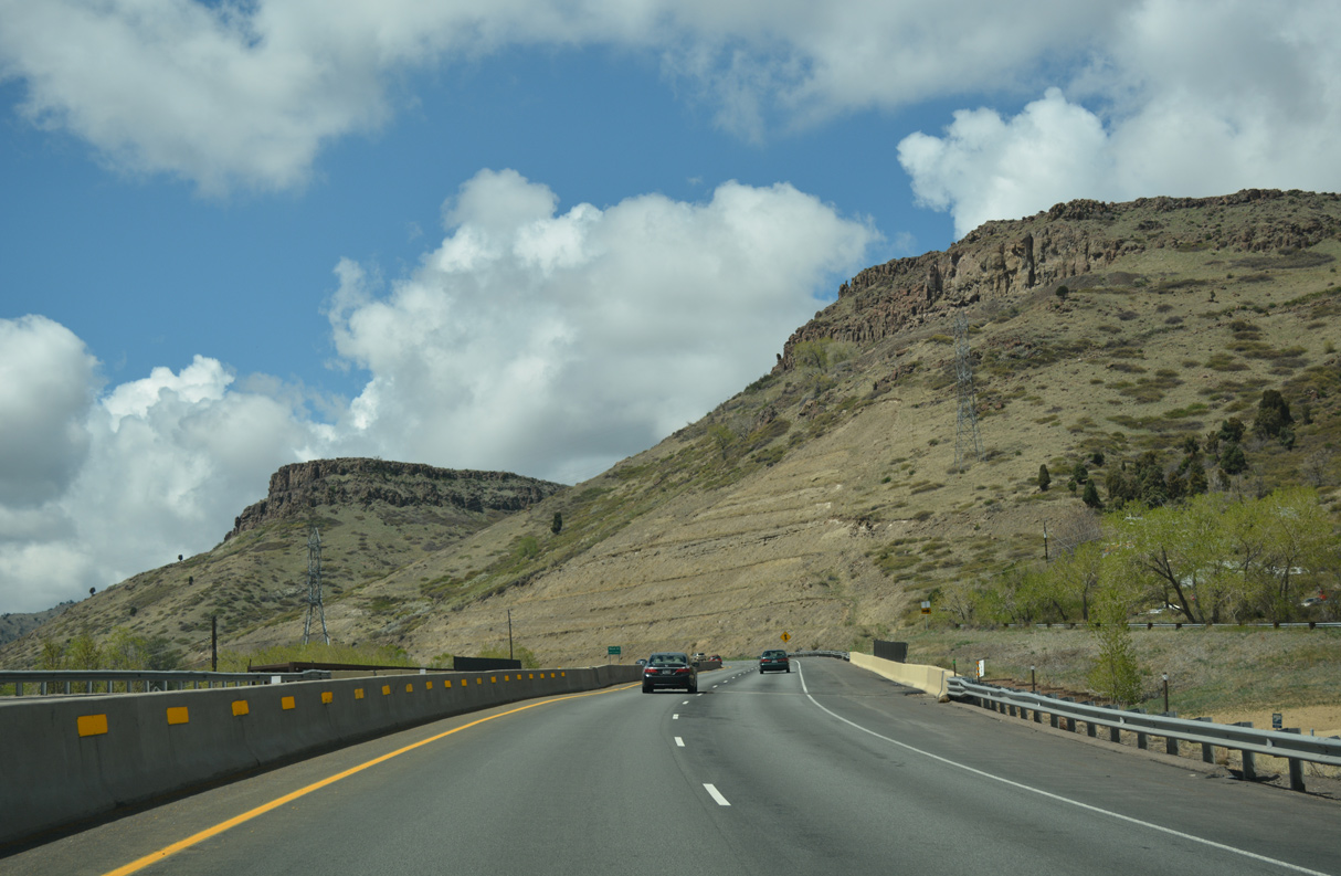
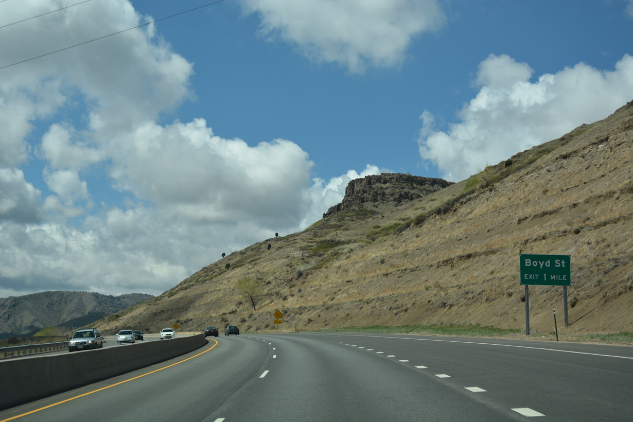
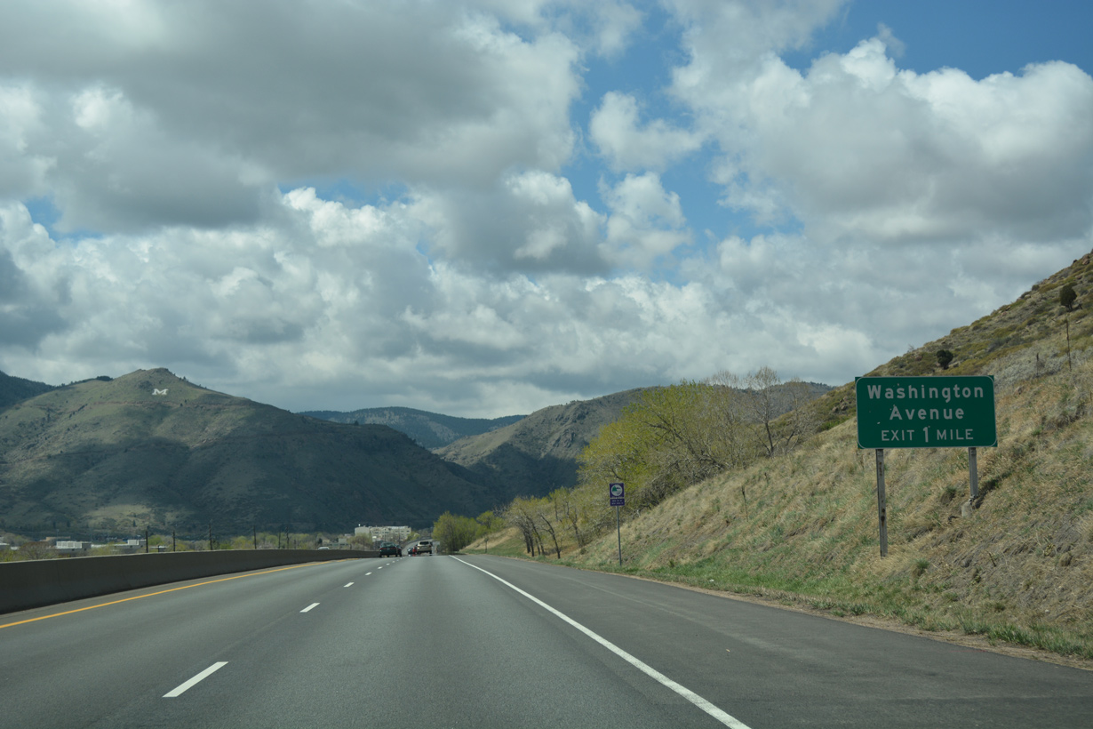
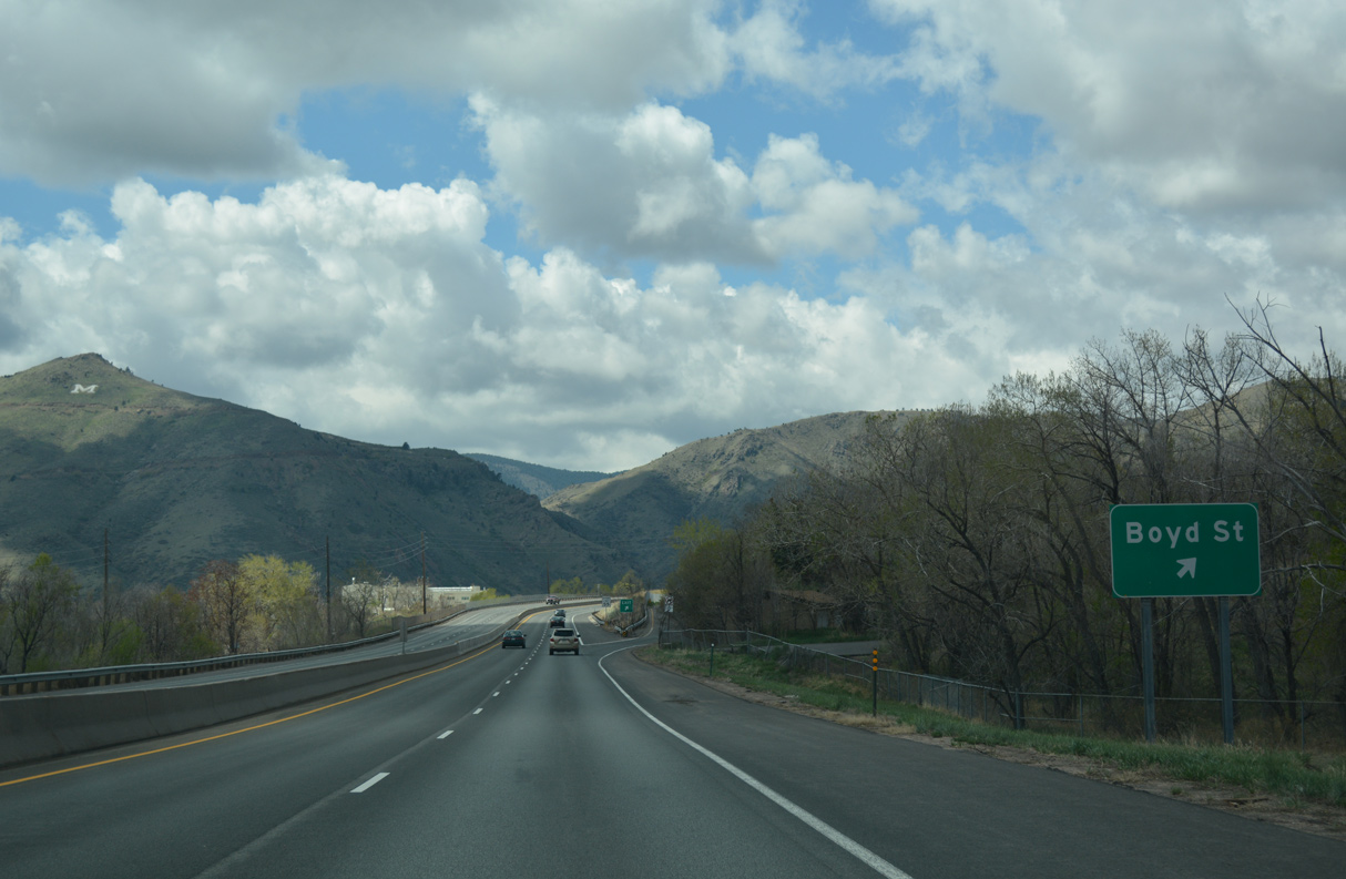
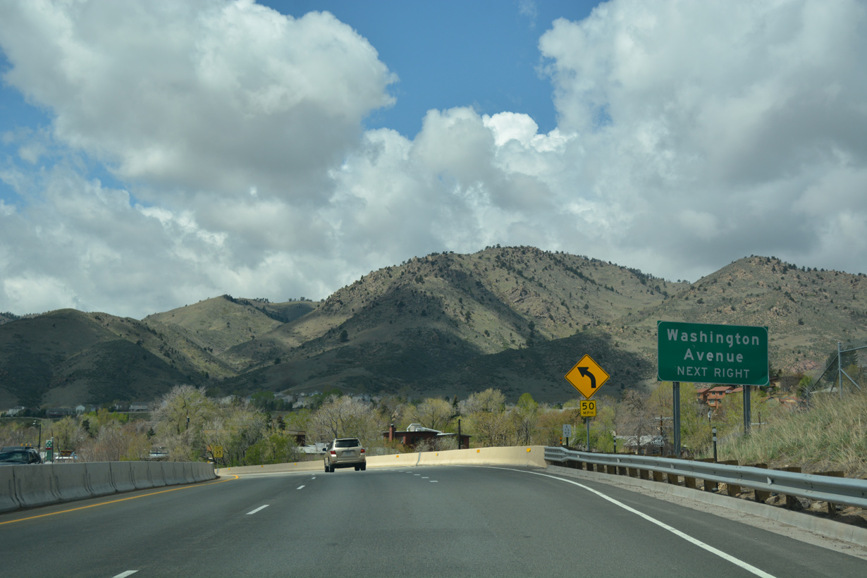
Colorado Highway 58 is the Golden Freeway connecting U.S. 6/SH 93 in the city of Golden with Interstate 70 in Wheat Ridge. Paralleling W 44th Avenue, the commuter route measures 5.627 miles in length.
SH 58 was one of the original routes designated in the 1920s. Beginning north of Blackhawk, SH 58 ran east from SH 119 near Dory Hill along what is now SH 46. Continuing along Golden Gate Canyon Road between Blackhawk Mountain and Centralia Mountain, SH 58 traversed areas of Guy Gulch and Tucker Gulch east to Mount Galbraith and Golden. SH 58 continued east along W 44th Avenue from Golden to U.S. 87/287 (Federal Boulevard) northwest of Downtown Denver. An extension of SH 58 was made by 1939, taking the route south through Fourmile Gulch along Dory Hill Road and Richman Street to SH 119 at Blackhawk.1
All of SH 58 west of Golden was turned back by 1954. This left just the section along 44th Avenue between Golden and Denver. Subsequent truncations took place west to Sheridan Boulevard by 1963 and to Wadsworth Boulevard by 1967. SH 58 in 1970 followed 10th Street east from U.S. 6 through Golden and 44th Avenue northeast to Ward Road.1
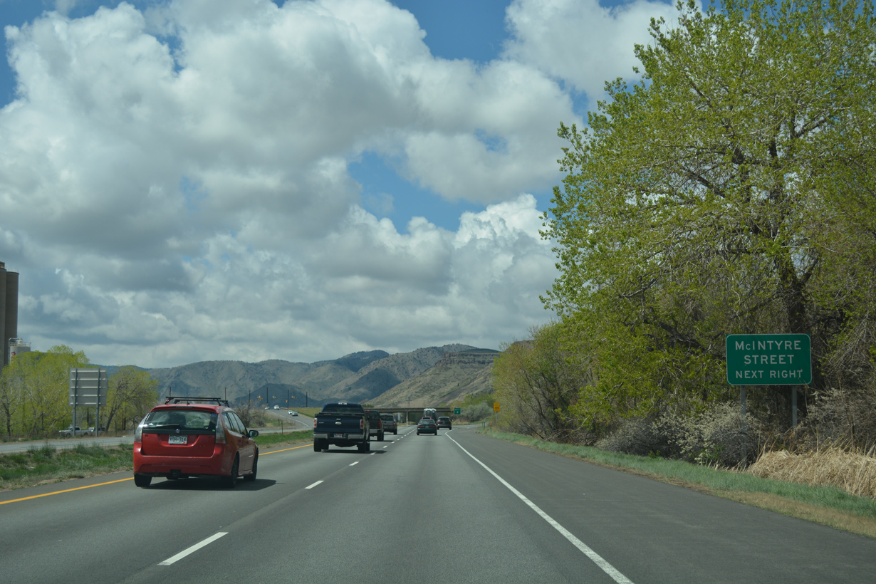
Plans for the Golden Freeway discussed on a meeting held on March 18, 1964 outlined $2.5 million in construction from Clear Creek Canyon to Interstate 70. It was hoped that three years of construction would start in 1965.2 An expressway along SH 58 was built from U.S. 6 to west of McIntyre Street by 1971. The expressway was extended east to Interstate 70 by 1973, and upgraded to a freeway by 1974.1
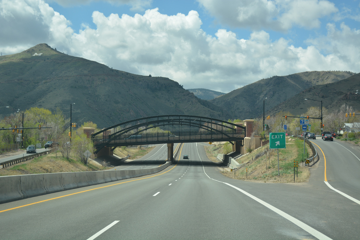
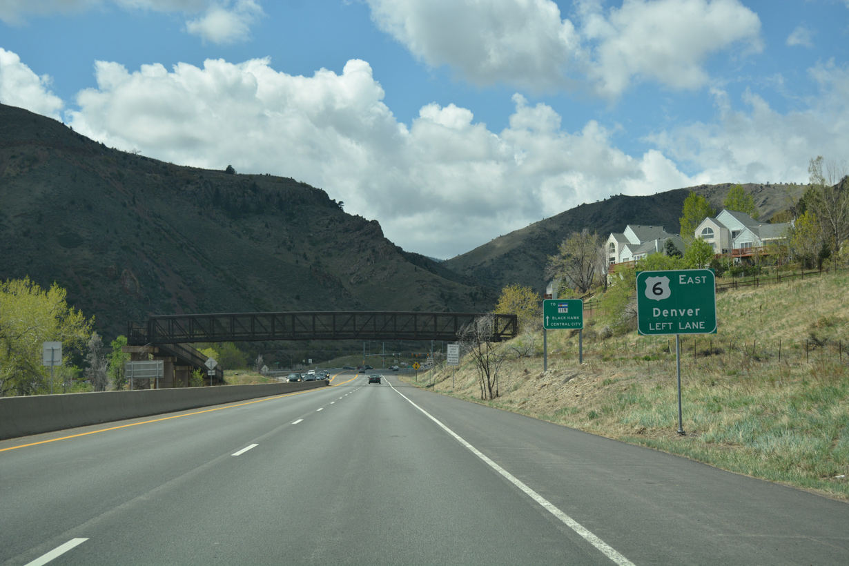
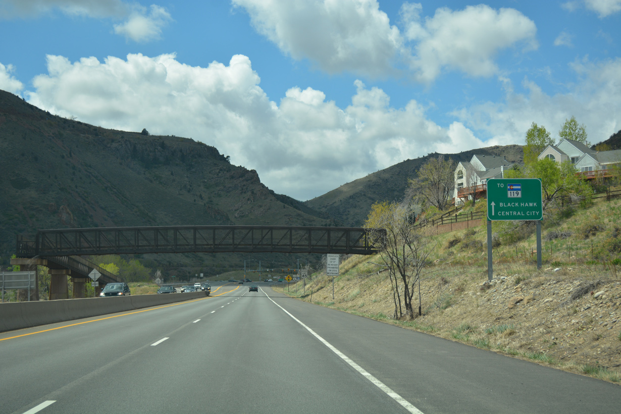
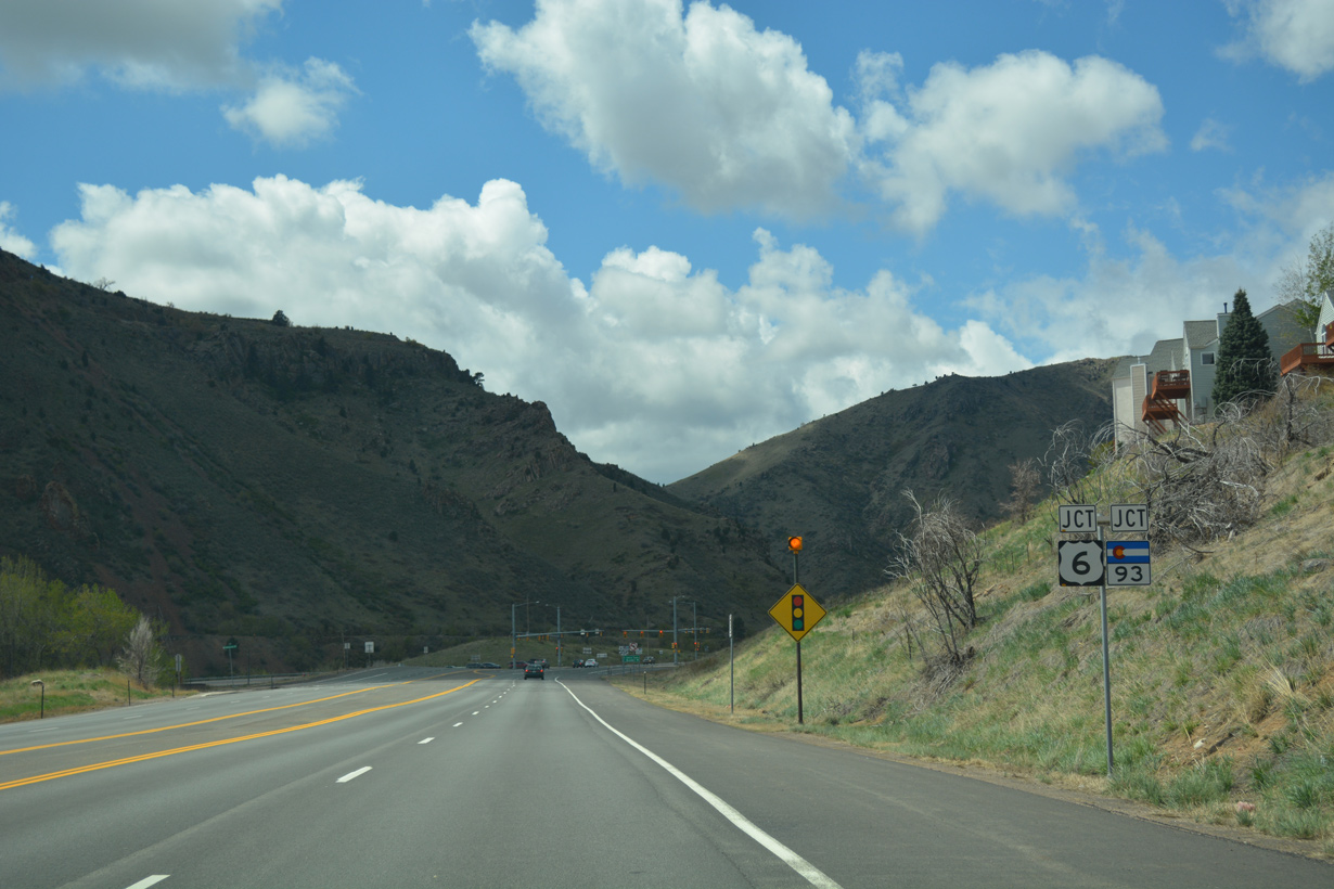
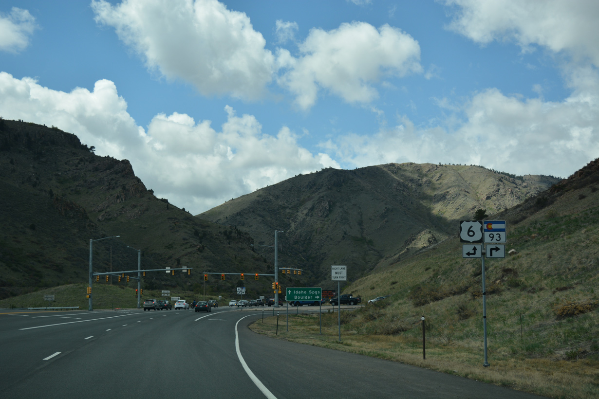
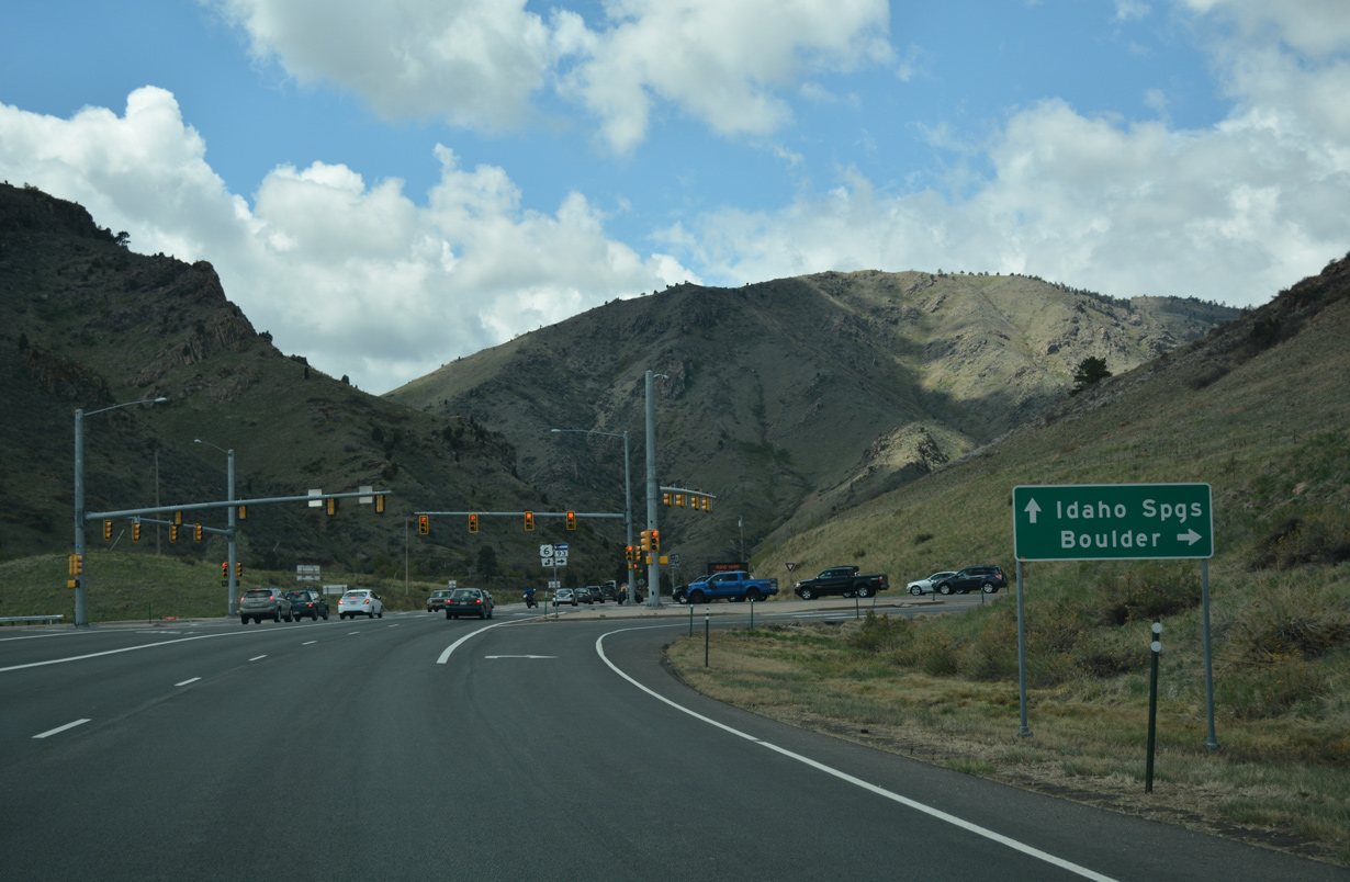
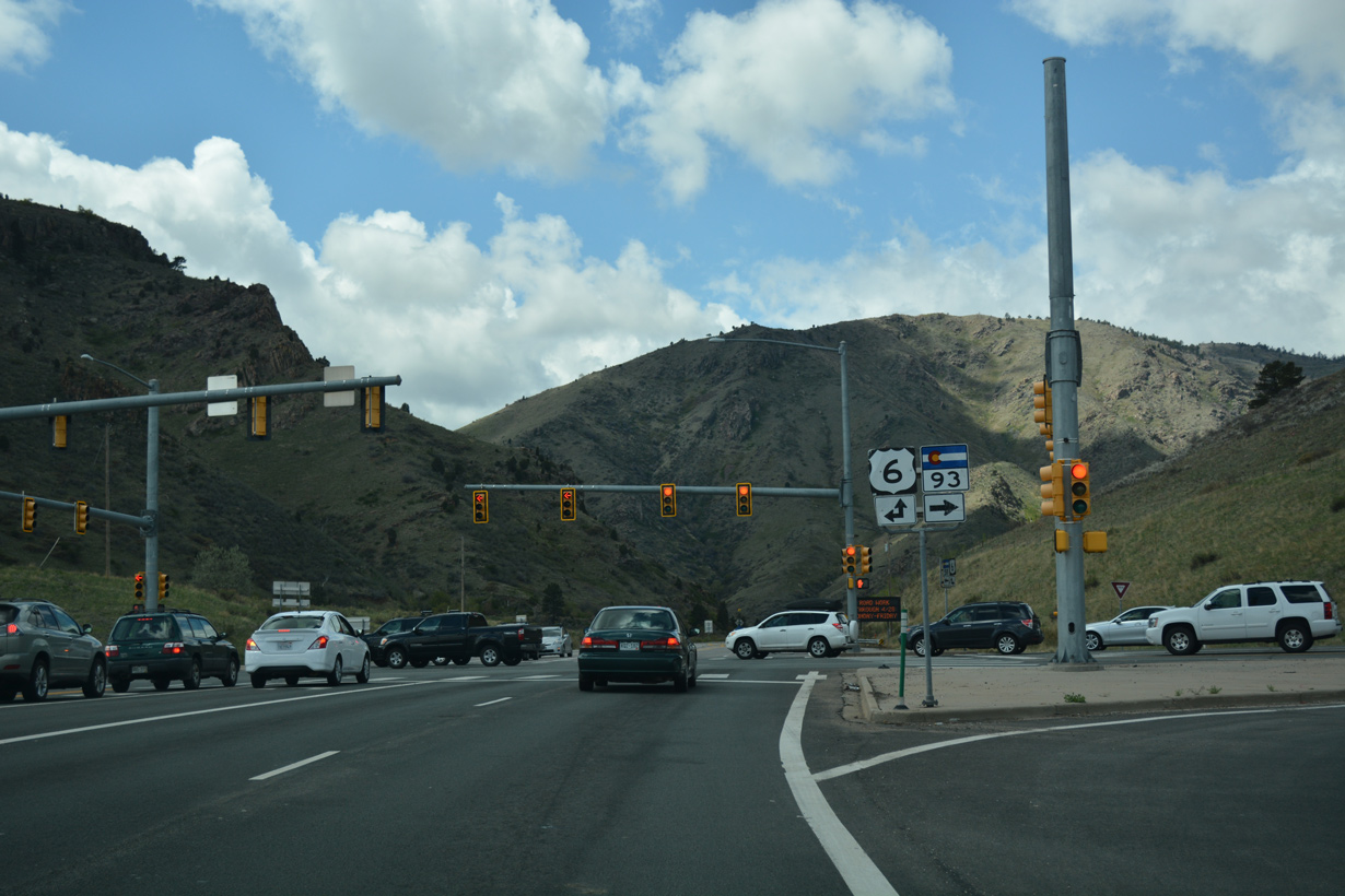
The east end of the Golden Freeway connected with Interstate 70 at a wye interchange with ramps from SH 58 east to I-70 east and from I-70 west to SH 58 west. The west end of SH 58 connected with U.S. 6 at a partial interchange in 1963. With the realignment of the south end of SH 93, this grade separation was removed in 1992.
$23 million in construction upgrading the exchange at SH 58 and I-70 to a directional T interchange ran from February 2007 through March 2009.3 The ramp from SH 58 east to I-70 west opened in early 2008, followed by the flyover from I-70 east to SH 58 west in December 2008.1
 West
West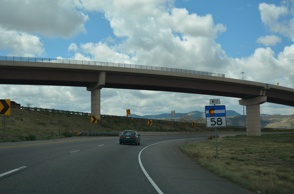
04/22/17

04/22/17
04/22/17
04/22/17
04/22/17

04/22/17
04/22/17
04/22/17
04/22/17
04/22/17
04/22/17
04/22/17
04/22/17
04/22/17
04/22/17
04/22/17
04/22/17
04/22/17
References:
- "Golden Freeway Plans Revealed." Greeley Daily Tribune (CO), March 19, 1964.
http://www.mesalek.com/ colo/r40-59.html#58.- "CDOT Will be Busy This Summer." Rocky Mountain News (Denver, CO), April 13, 2007.
Photo Credits:
- ABRoads: 04/22/17
Connect with:


Page Updated Wednesday January 26, 2022.