
State Highway 74

Colorado State Highway 74 is a 18.11 mile long route west of metropolitan Denver that connects Interstate 70 and U.S. 40 near Exit 252 (near El Rancho) with SH 8 near Downtown Morrison.
 East
East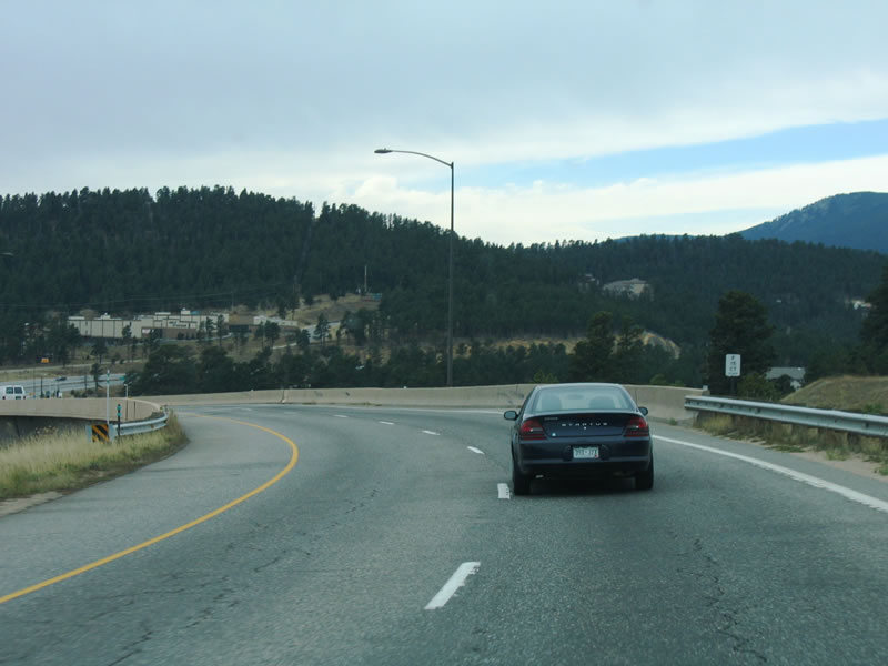
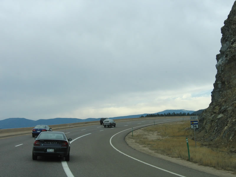
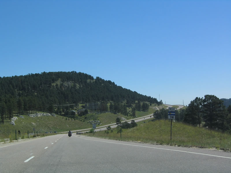
SH 74 separates from Interstate 70 west from a wye interchange to El Rancho.
11/11/03
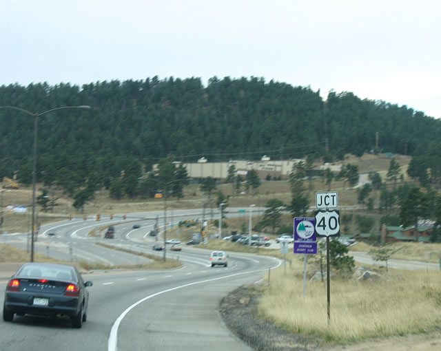
Immediately south of I-70, SH 74 eastbound intersects segment B of U.S. 40 at Swede Gulch Road in El Rancho.
11/11/03
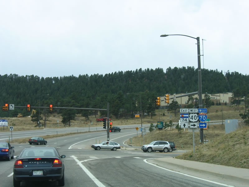
U.S. 40 acts as a frontage road parallel to Interstate 70 west toward Idaho Springs. Swede Gulch Road serves adjacent big box retail while SH 74 winds southwest along Evergreen Parkway to Bergen Park.
11/11/03
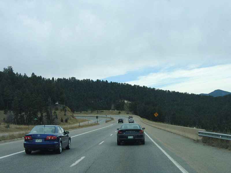
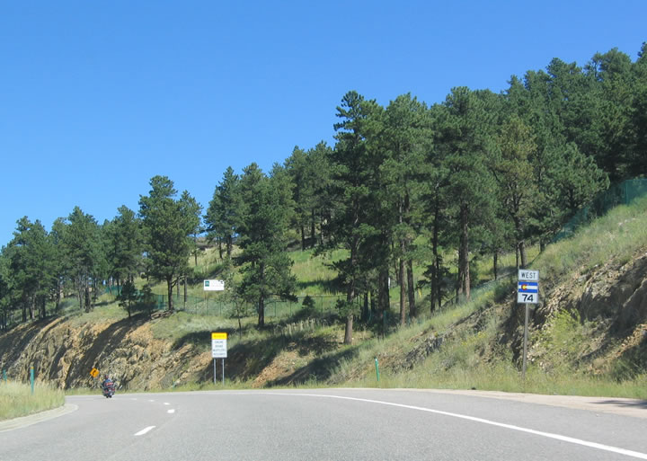
Following a begin shield posted south of U.S. 40, SH 74 commences toward Evergreen via Hidden Valley.
11/11/03
Curving west from Kerr Gulch Road along SH 74 eastbound.
11/11/03
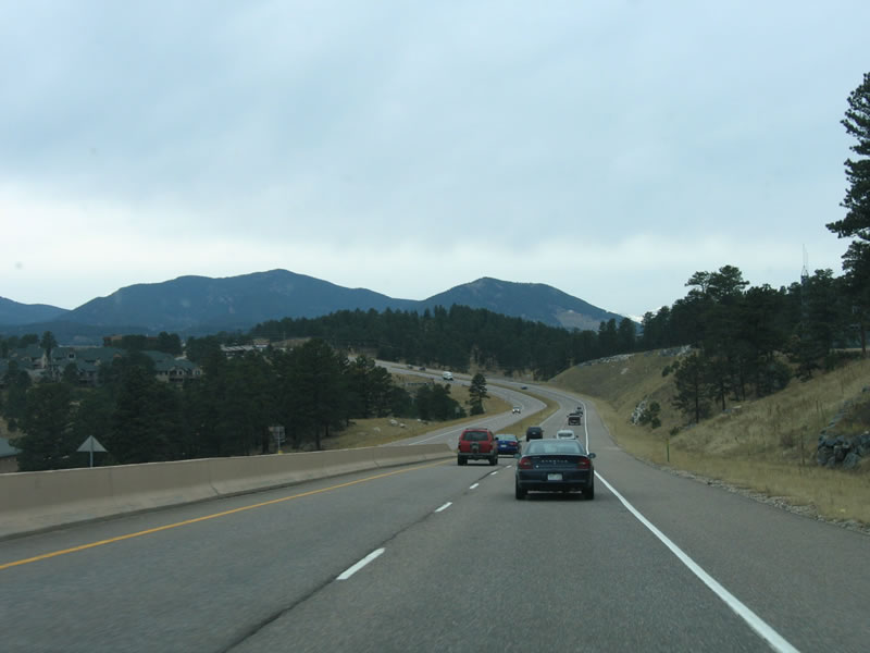
With upgrades completed in the mid-1990s, SH 74 is expressway grade between U.S. 40 and Evergreen. The highway has at least four lanes with a median barrier or a wide grassy median. Access to driveways is limited to frontage roads and intersecting highways through this stretch.
11/11/03
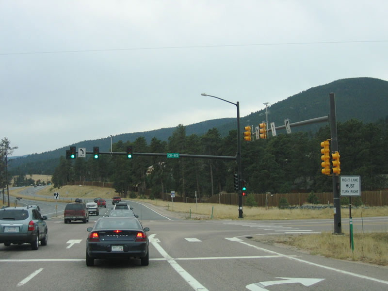
SH 74 intersects Jefferson County Road 65 at Bergen Park. CR 65 heads northwest to Interstate 70 and U.S. 40 at Exit 248.
11/11/03
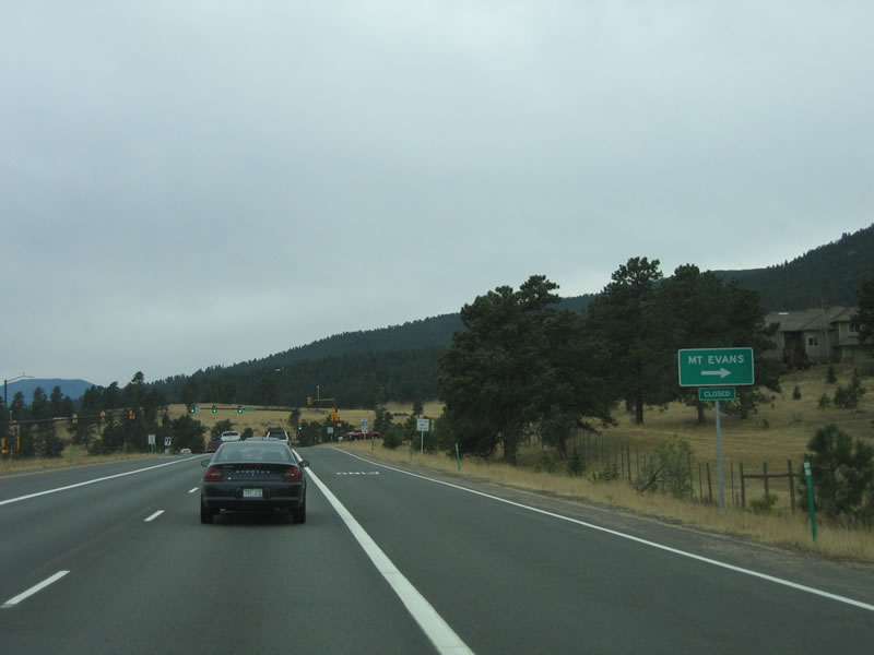
Continuing south, SH 74 next meets Squaw Pass Road, which travels west toward Mount Evans. Squaw Pass Road connects to SH 103 and SH 5, which is the highest road in Colorado. Ellingwood Trail ties into the signalized intersection from Buchanan Park to the east.
11/11/03
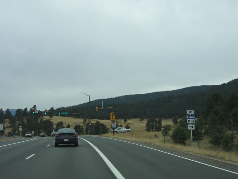
SH 103 begins near the top of Squaw Pass in Clear Creek County, then travels west to SH 5 (Mount Evans Highway), and north to meet I-70 and U.S. 6-40 in Idaho Springs. The section of Squaw Pass Road between SH 74 and Squaw Pass is maintained by Jefferson and Clear Creek Counties.
11/11/03
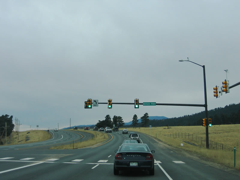
SH 74 (Evergreen Parkway) eastbound at Bergen Parkway, the former alignment of the state highway leading north.
11/11/03
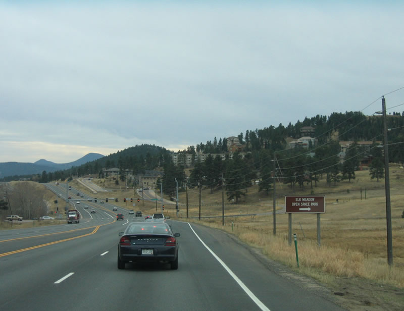
Most of the ample open space surrounding the SH 74 corridor is protected. Beyond Bergen Park, the next intersection serves Elk Meadow Open Space Park, which is part of the Jefferson County system of open space lands.
11/11/03
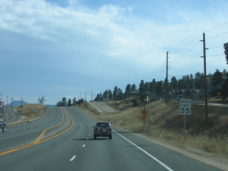
The speed limit on SH 74 is 55 miles per hour. South of Elk Meadow Open Space, the highway narrows with a paved median.
11/11/03
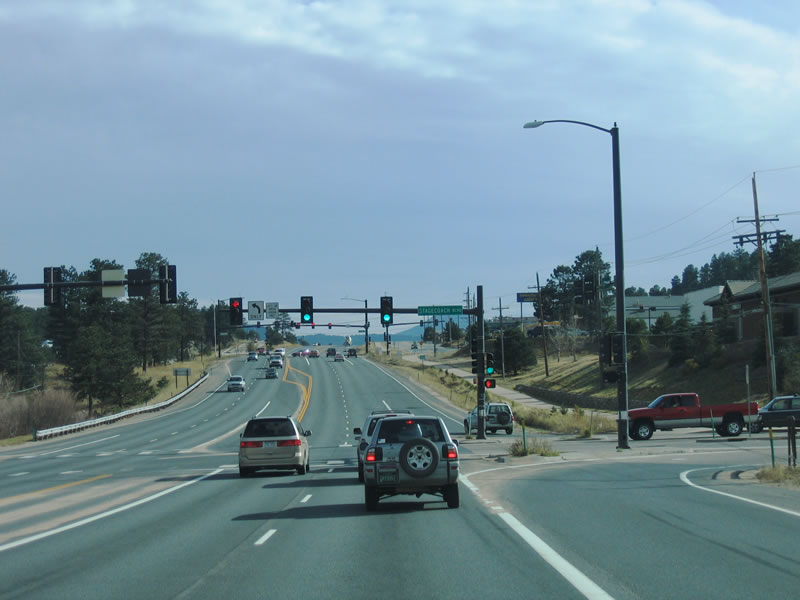
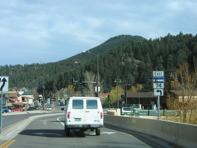
SH 74 (Evergreen Parkway) east at Stagecoach Boulevard. The highway becomes more urbanized through the community of Evergreen.
11/11/03
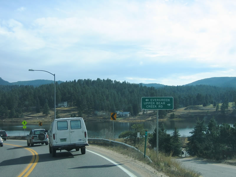
Evergreen Parkway leads SH 74 south to Evergreen Lake and Upper Bear Creek Road. Here the state highway narrows to two lanes and turns east.
11/11/03
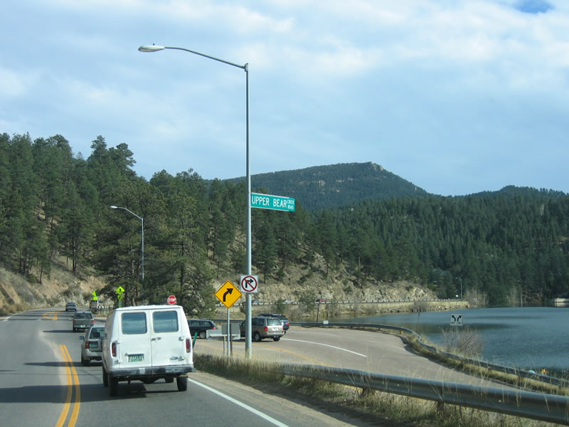
Upper Bear Creek Road intersects SH 74 from a tight curve along the north shore of Evergreen Lake. A hiking trail rings the entire lake, offering recreational opportunities for hikers and runners.
11/11/03
Heading east to the Evergreen business district, SH 74 takes a higher road past the dam that holds back Bear Creek. Evergreen Lake holds 670 acre-feet of water. Historically the reservoir has flooded downstream through Evergreen and toward Morrison.
11/11/03
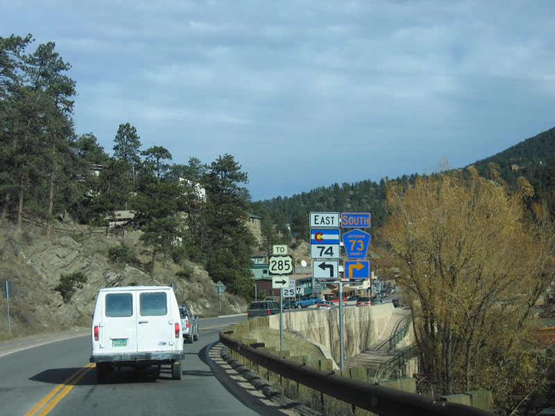
Jefferson County Road 73 travels south to Conifer, where it meets U.S. 285. CR 73 is former SH 73, which was turned back to local control in 1965.
11/11/03
SH 74 turns east toward Morrison and Red Rocks, while CR 73 turns south toward Conifer. This county road can be very busy, as it offers a connection to U.S. 285 that avoids Morrison.
11/11/03
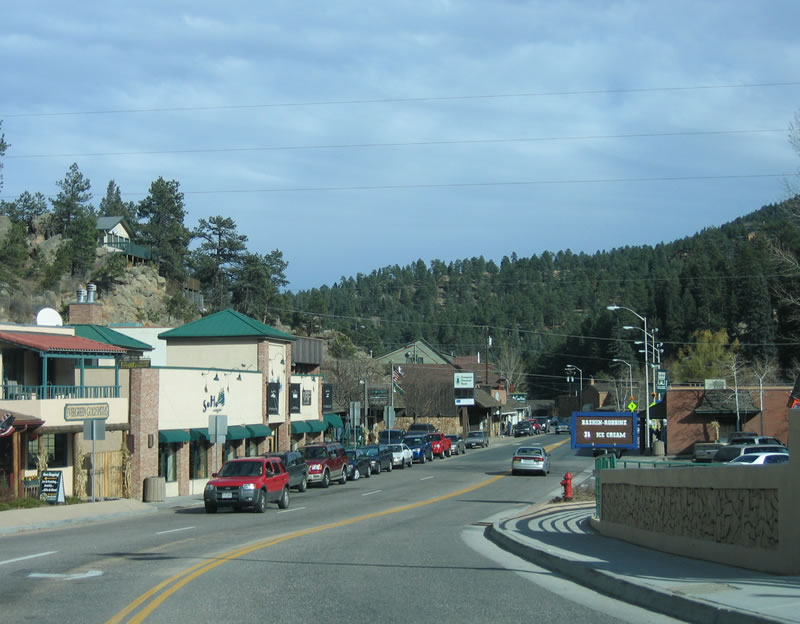
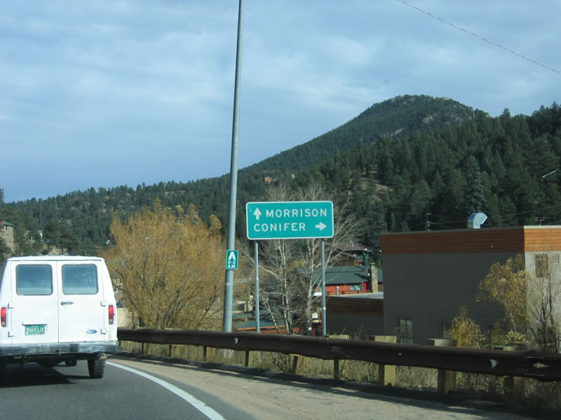
Continuing east through the Evergreen business district on SH 74. The Evergreen region is bounded by I-70 and El Rancho to the north, Mount Evans to the west, the eastern edge of the foothills on the east, and Conifer to the south.
11/11/03
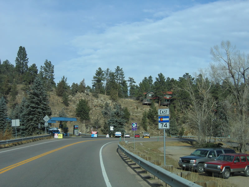
Through Evergreen, SH 74 is part of the 40 mile Lariat Loop. This scenic byway was officially recognized by the state of Colorado in August 2002. The byway takes its name from the Lariat Trail, which connected the city of Golden with Buffalo Bill's Museum and Grave via Lookout Mountain in 1913. Today, the official loop route connects Evergreen with Golden and Morrison. The loop begins in Morrison at the junction of SH 74 and SH 8 (Former U.S. 285), follows the entire route of SH 74, turns east onto I-70 and U.S. 40, then takes the Lariat Trail northeast to Golden.
11/11/03
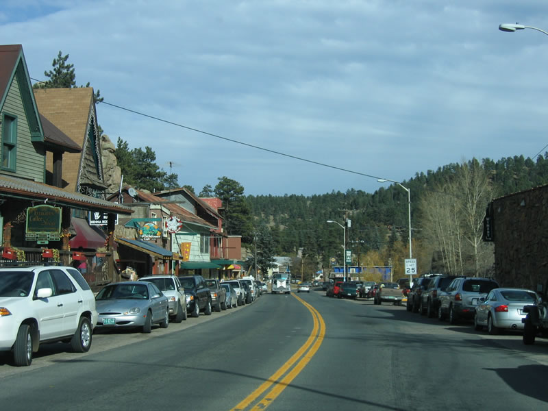
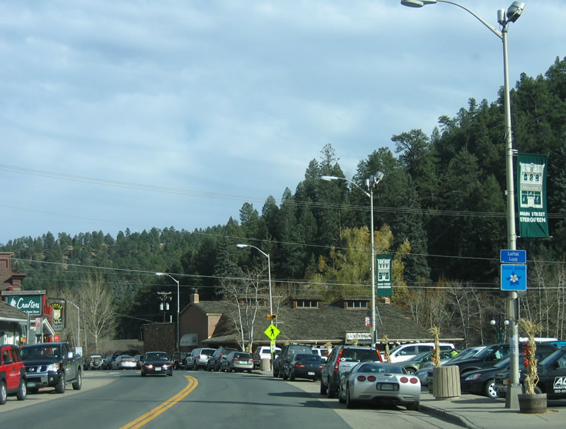
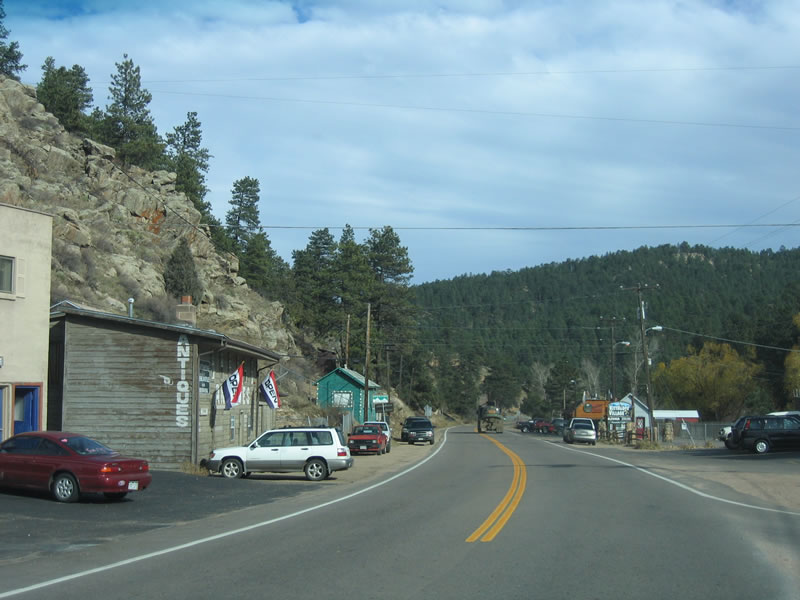
Antique stores, gift shops, restaurants and related commercial establishments line SH 74 as the parkway progresses through the Evergreen business district. Evergreen is a popular day trip gateway from metropolitan Denver, especially with weekend travelers.
11/11/03
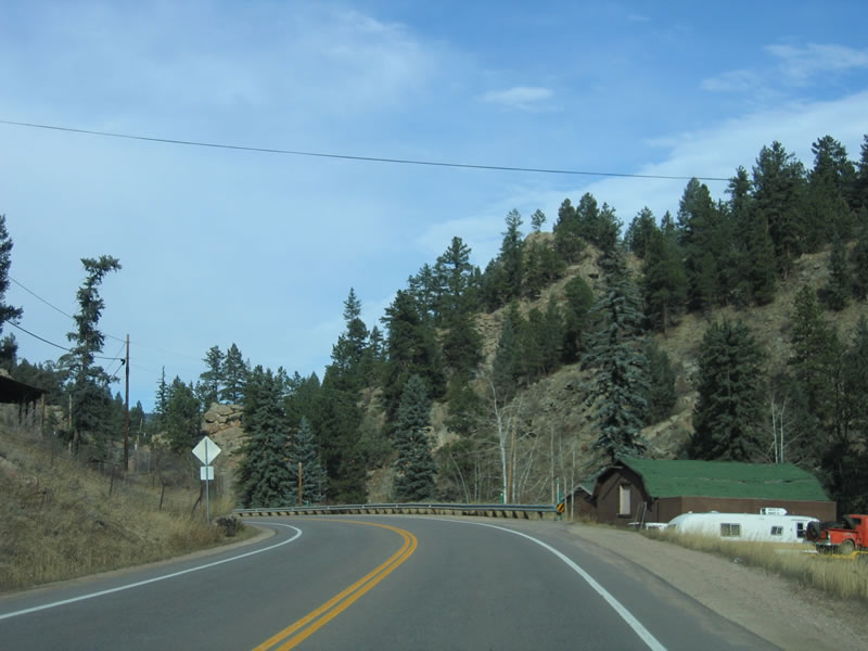
Advancing northeast, SH 74 follows Bear Creek out of Evergreen and toward Kittredge. The highway remains with two lanes to Morrison, and it is a much slower route than the section of SH 74 north of Evergreen. Due to to its narrow alignment through Bear Creek Canyon. head-on collisions have occurred on this road, including several deadly accidents involving motorcycles.
11/11/03
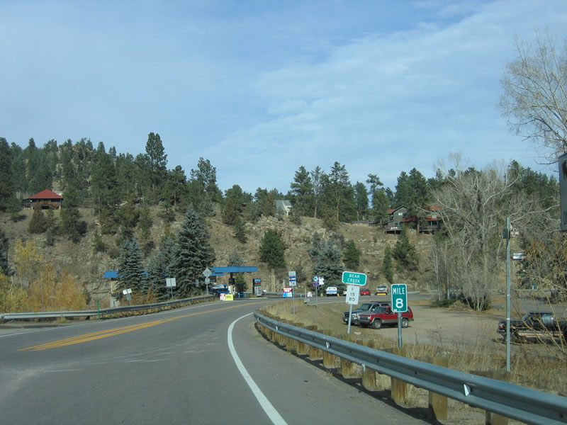
SH 74 (Bear Creek Road) east passes over Bear Creek at milepost 8.
11/11/03
This reassurance marker for SH 74 stands just north of the Bear Creek bridge at milepost 8.
11/11/03
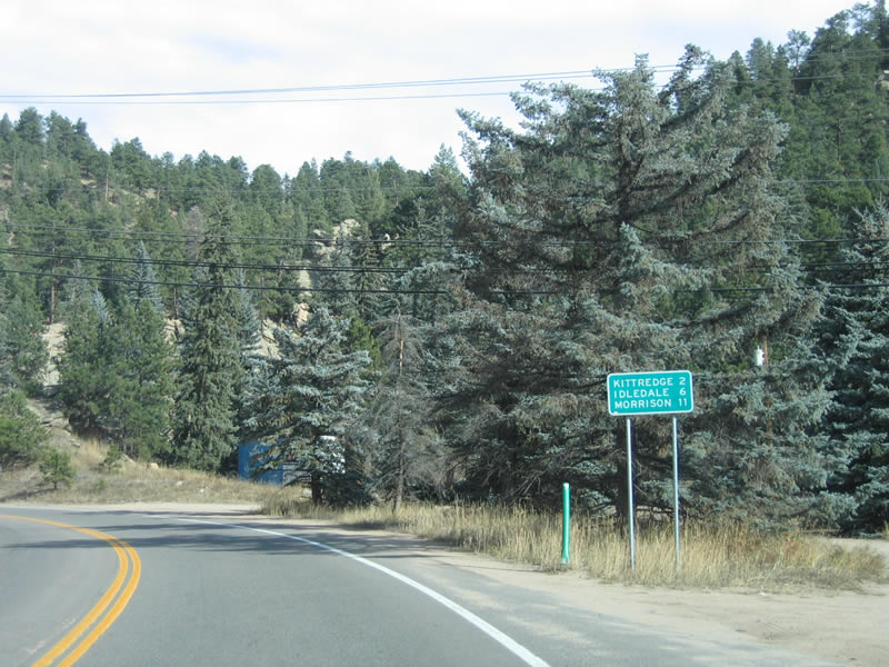
Distance sign providing the distance to the next three towns: Kittredge (two miles), Idledale (six miles) and Morrison (11 miles).
11/11/03
Although SH 74 remains close to Bear Creek, several homes are located alongside the highway. Flood concerns remain a concern through this area, so all development is cognizant of the river's proximity to homes and other buildings.
11/11/03
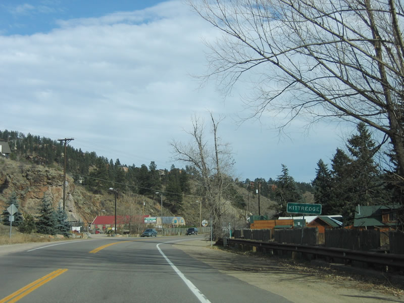
Eastbound SH 74 enters Kittredge, another unincorporated area within Jefferson County. Some of the people who live in Kittredge commute to jobs elsewhere in metropolitan Denver.
11/11/03
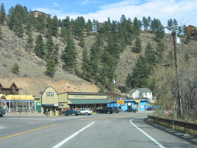
A few shops and restaurants line SH 74 through Kittredge. The state highway continues east toward Idledale.
11/11/03
Like most small communities along SH 74, Kittredge owes its existence to the mining days of the late 1800s. It remains today as a small cluster of homesteads and businesses on the road between Evergreen and Morrison.
11/11/03
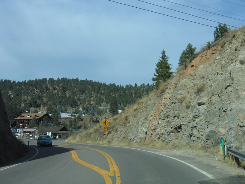
Beyond Kittredge, SH 74 progresses east toward Idledale. The highway follows the contours of the Bear Creek Canyon over the ensuing stretch.
11/11/03
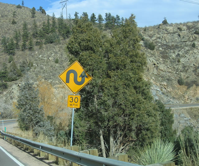
SH 74 closely follows the curves of the canyon walls, which results in several switchbacks such as these.
11/11/03
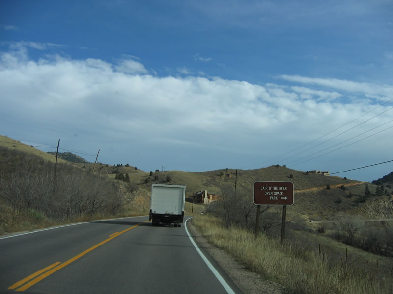
The Lair o'the Bear Open Space is a 319-acre park owned and operated by Jefferson County. Hikers and anglers enjoy the tranquil open space, which features unique geological formations and myriad recreational opportunities.
11/11/03
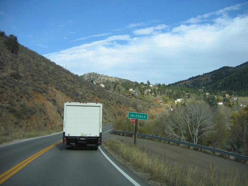
Idledale is a small community about 21 miles southwest of Denver along SH 74. Several homes and small ranches are located in this riverside community; Bear Creek offers fishing and other recreational activities.
11/11/03
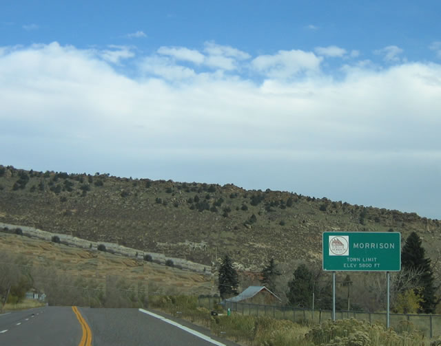
Eastbound SH 74 enters the town of Morrison, which is located at the eastern end of Bear Creek Canyon. Morrison was incorporated as a town in 1906 after being established in 1874. A National Register Historic District, Morrison has a quaint downtown with plenty of shops and restaurants.
11/11/03
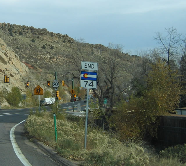
SH 74 east ends in Morrison at the turn of SH 8 north from U.S. 285 to Bear Creek Avenue east to Red Rocks and C-470.
11/11/03
West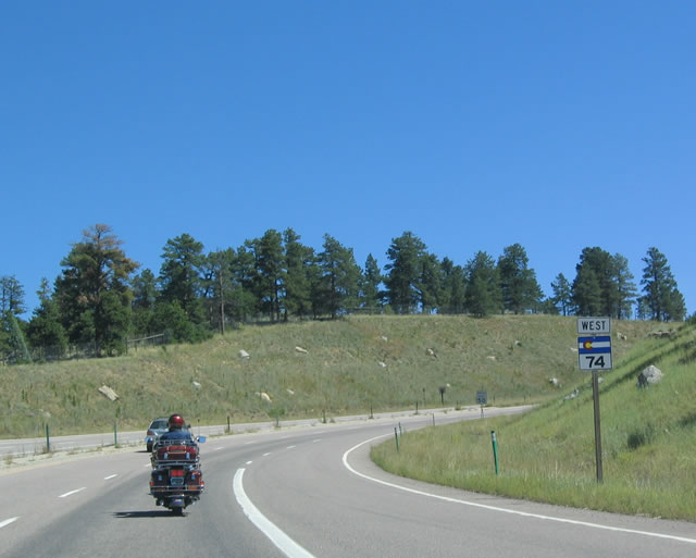
Reassurance marker posted after Jefferson County Road 65 at Bergen Park. SH 74 winds east from here to Fillius Park and Hidden Valley.
08/28/04
Despite traveling east, SH 74 is bannered as westbound as it continues from Bergen Parkway east to El Rancho.
08/28/04
Winding north from Kerr Gulch Road toward El Rancho on SH 74 westbound.
08/28/04
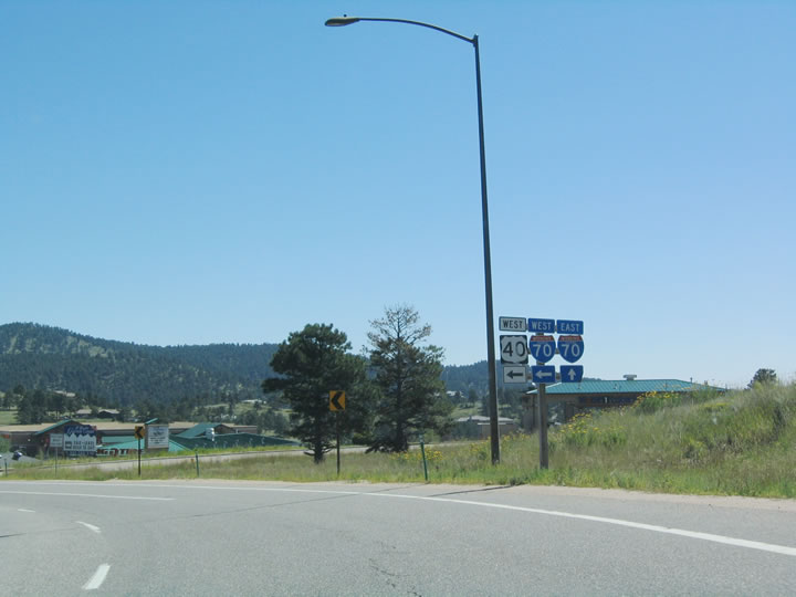
SH 74 westbound meets the east end of U.S. 40 segment B at the community of El Rancho. U.S. 40 west links the state highway with I-70 west to Idaho Springs from a half diamond interchange nearby.
08/28/04
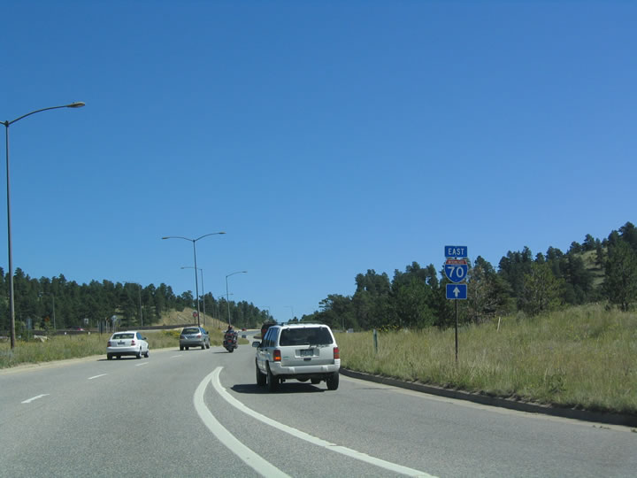
SH 74 defaults onto Interstate 70 east into Denver at a wye interchange north from El Rancho.
08/28/04
Photo Credits:
- Andy Field: 11/11/03, 08/28/04
Connect with:


Page Updated Monday May 01, 2017.