
State Highway 113
Colorado State Highway 113 travels 18.83 miles north from U.S. 138 between Ford and Iliff in Logan County to Nebraska Highway 19. The rural highway follows a linear route north onto Peetz Table, east of Lewis Canyons. The town of Peetz is the lone community along SH 113. N-19 continues the highway 10.91 miles north to I-80 and U.S. 30 (Lincoln Highway) west of Sidney.
 North
North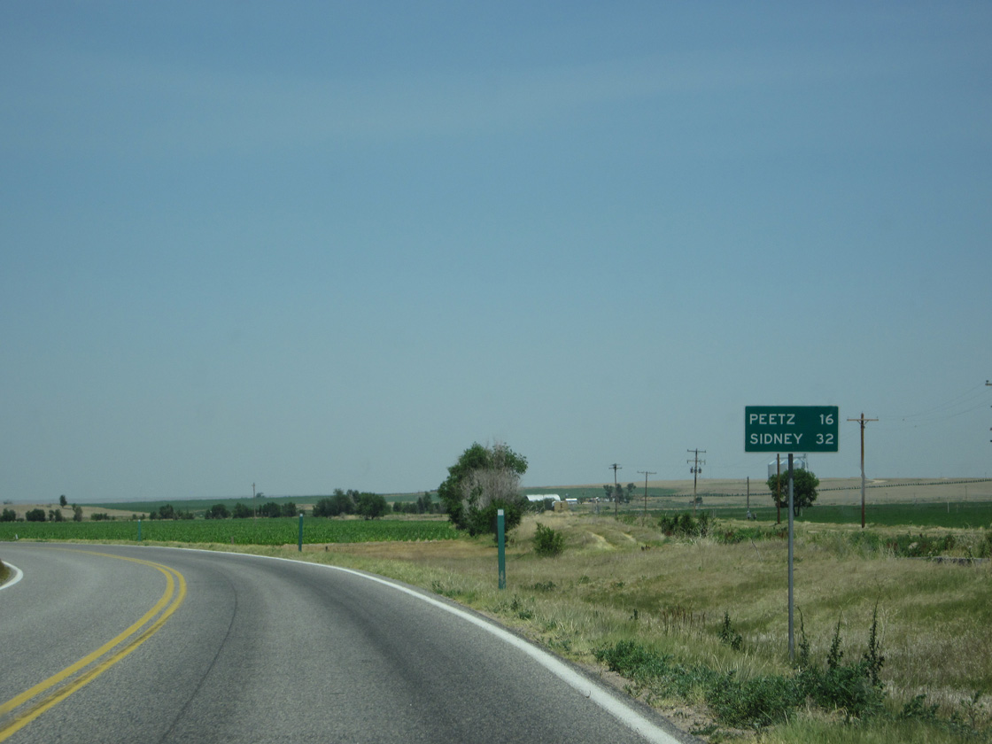
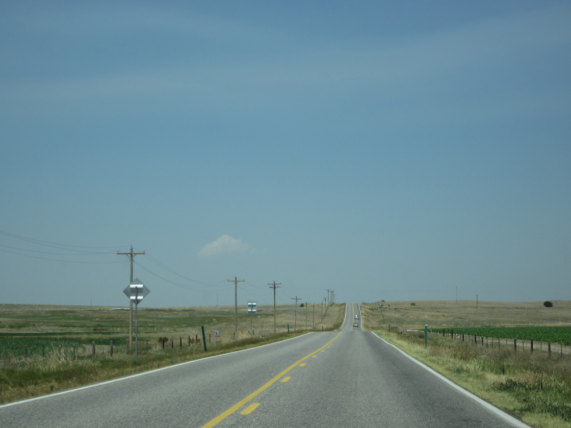
SH 113 turns north along a section line just beyond U.S. 138 and Iliff Platte Valley Ditch. The census designated place of Peetz is 16 miles away.
06/23/12
06/23/12
06/23/12
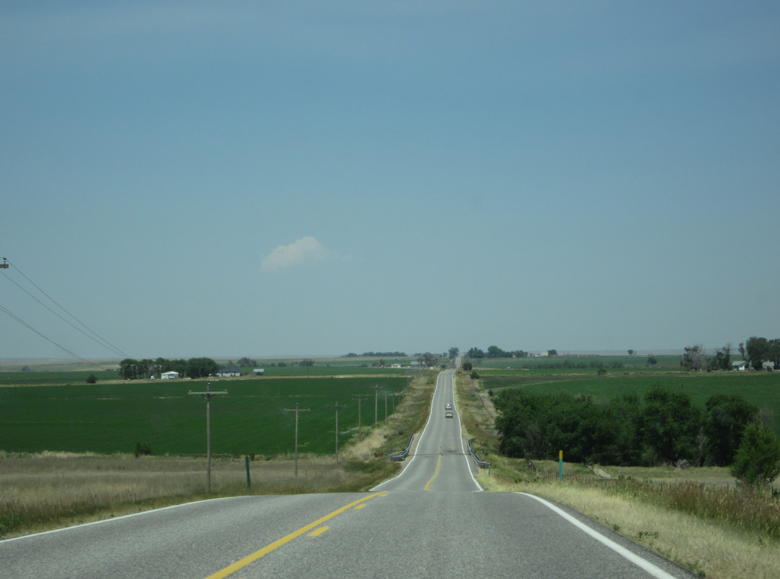
SH 113 north lowers from a ridge to cross Sevenmile Creek.
06/23/12
06/23/12

CR 48 leads three miles west from SH 113 at Trap Draw to the census designated place of Padroni.
06/23/12
06/23/12
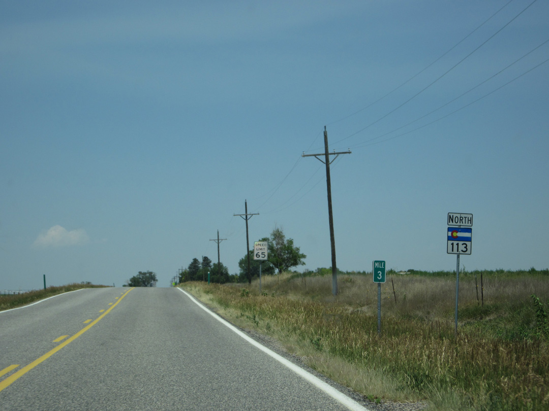
Reassurance marker for SH 113 posted north of CR 48 at mile marker 3.
06/23/12
06/23/12
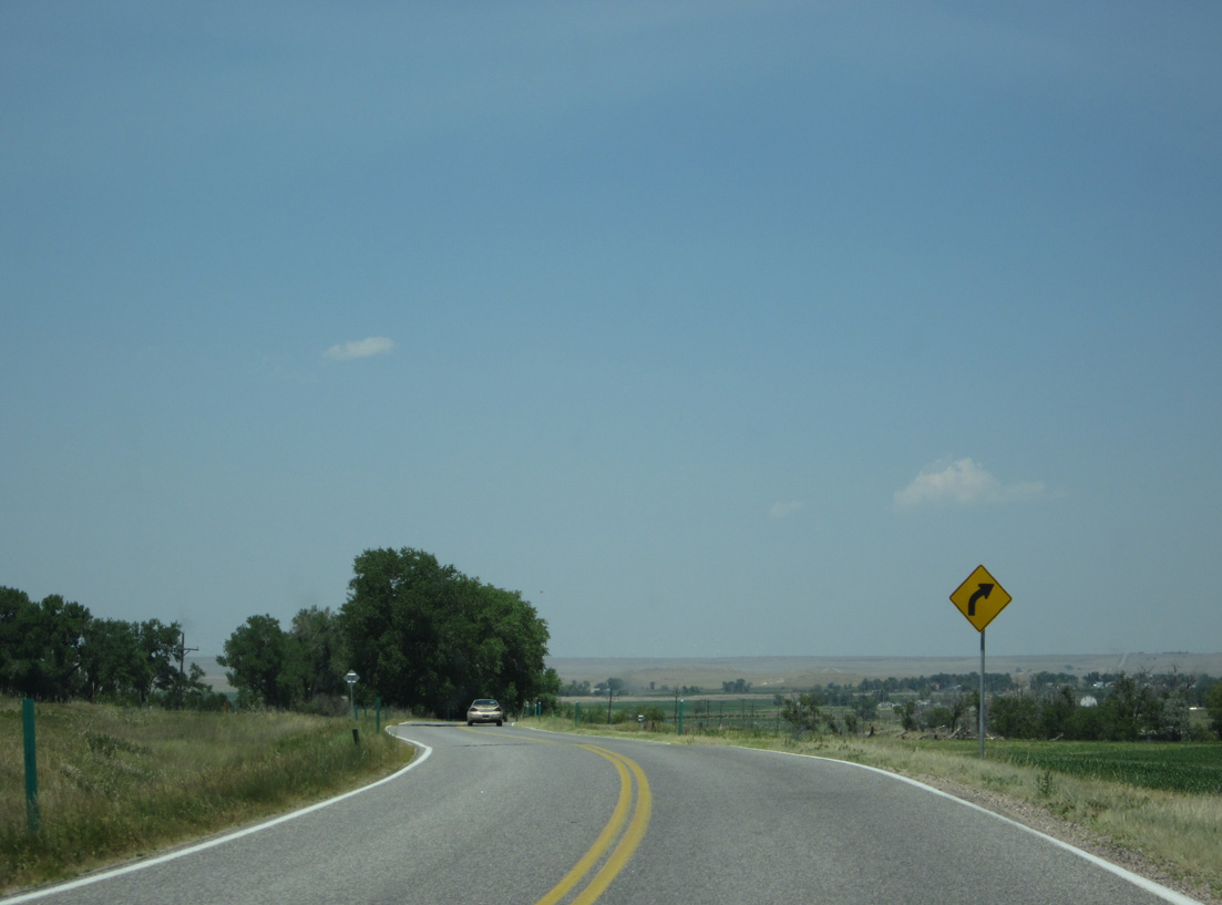
06/23/12
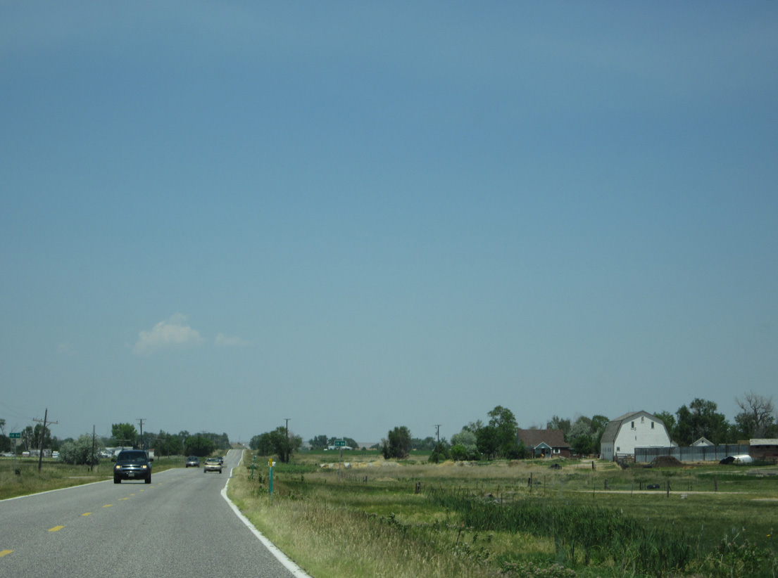
06/23/12
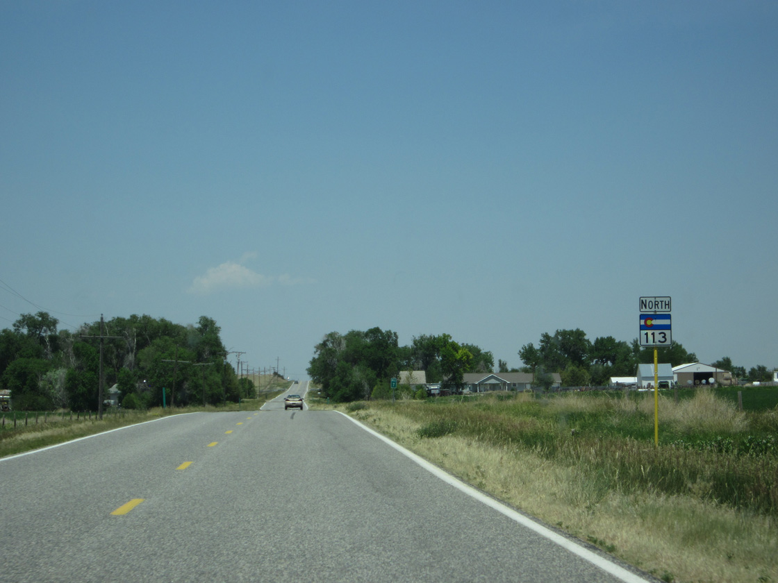
SH 113 reassurance shield posted north of CR 56 and southeast of Larson Pond.
06/23/12
06/23/12
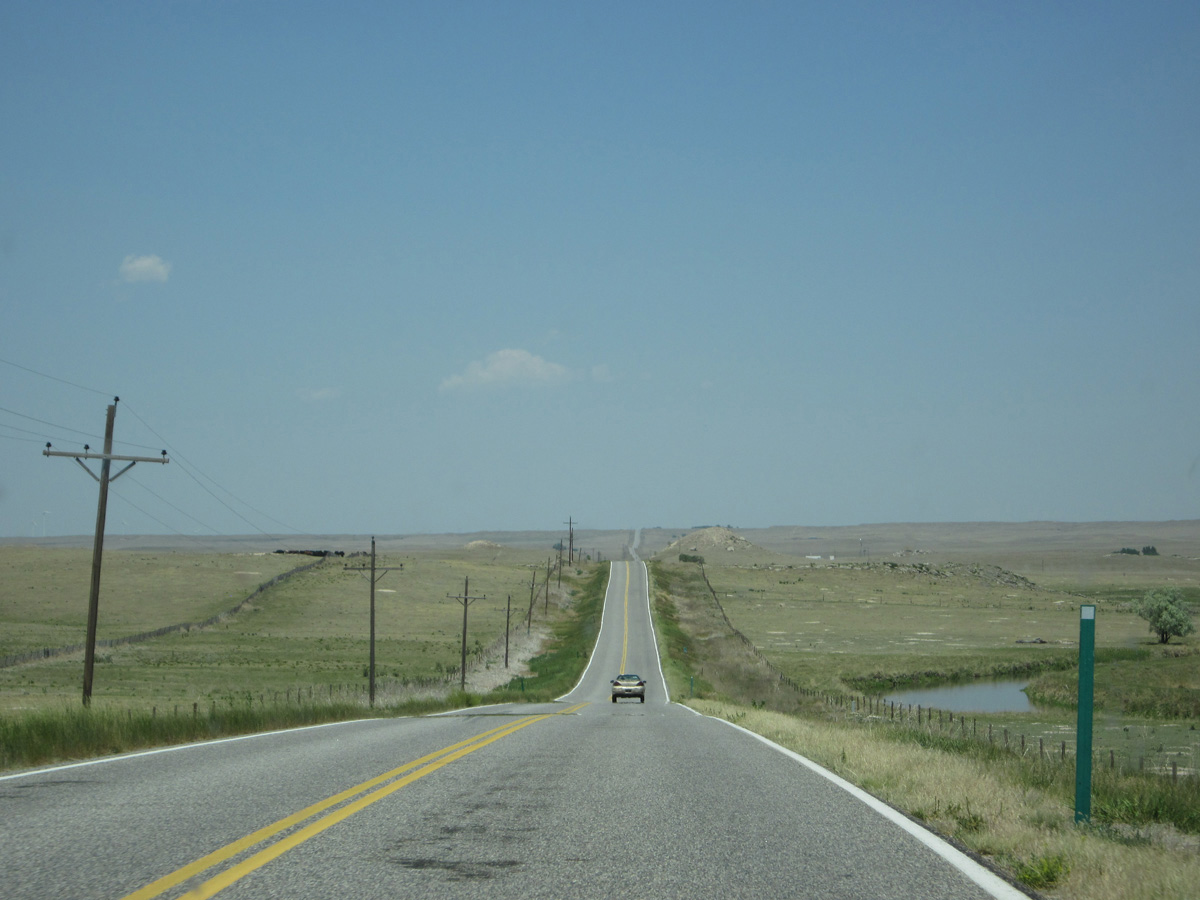
SH 113 parallels the North Sterling Outlet Canal across a pair of ridges.
06/23/12
06/23/12
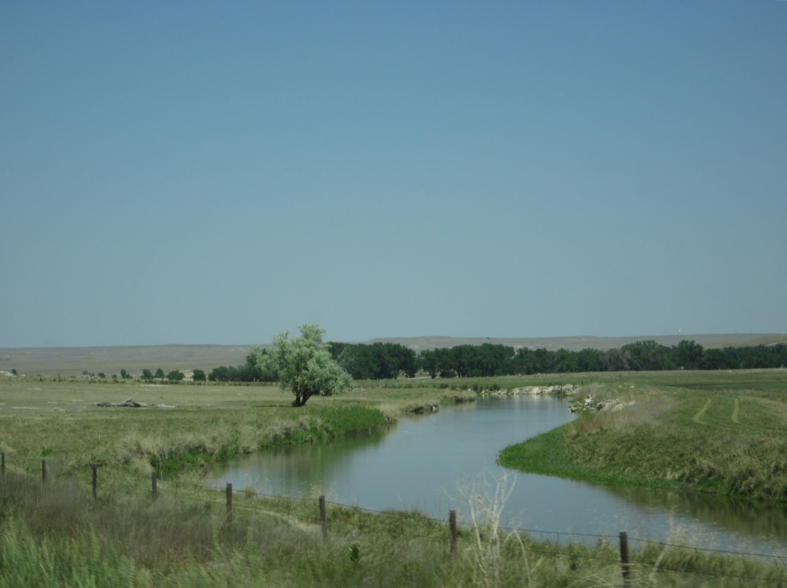
06/23/12
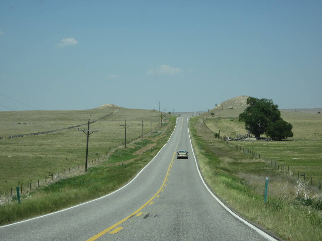
06/23/12
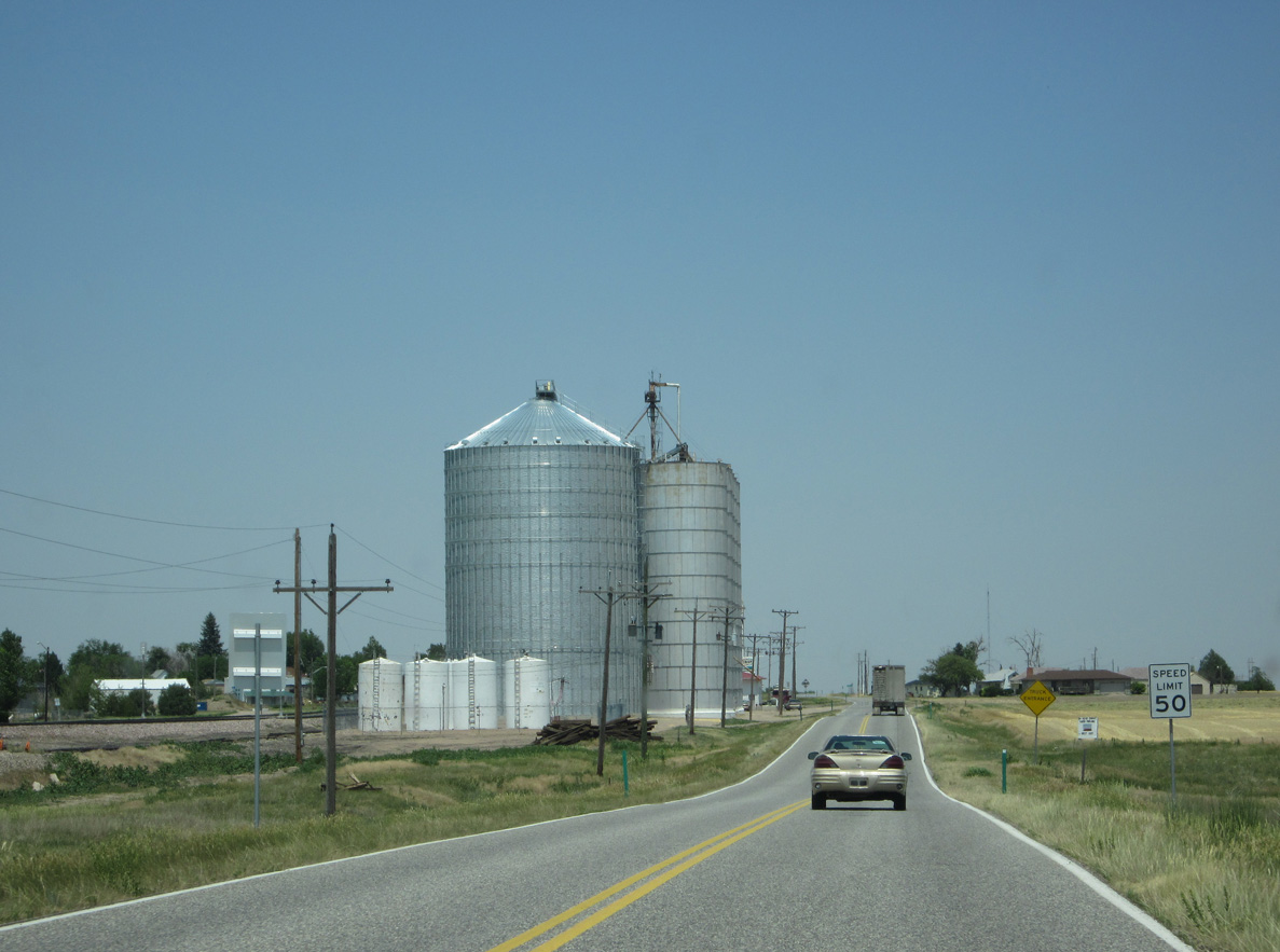
Shifting northeast parallel to a Union Pacific Railroad line, SH 113 advances to the town of Peetz.
06/23/12
06/23/12
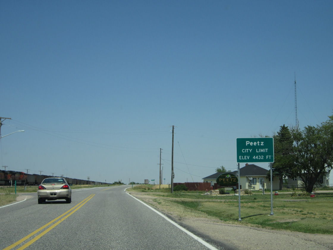
Main Street stems west from SH 113 into the Peetz street grid and business district.
06/23/12
06/23/12
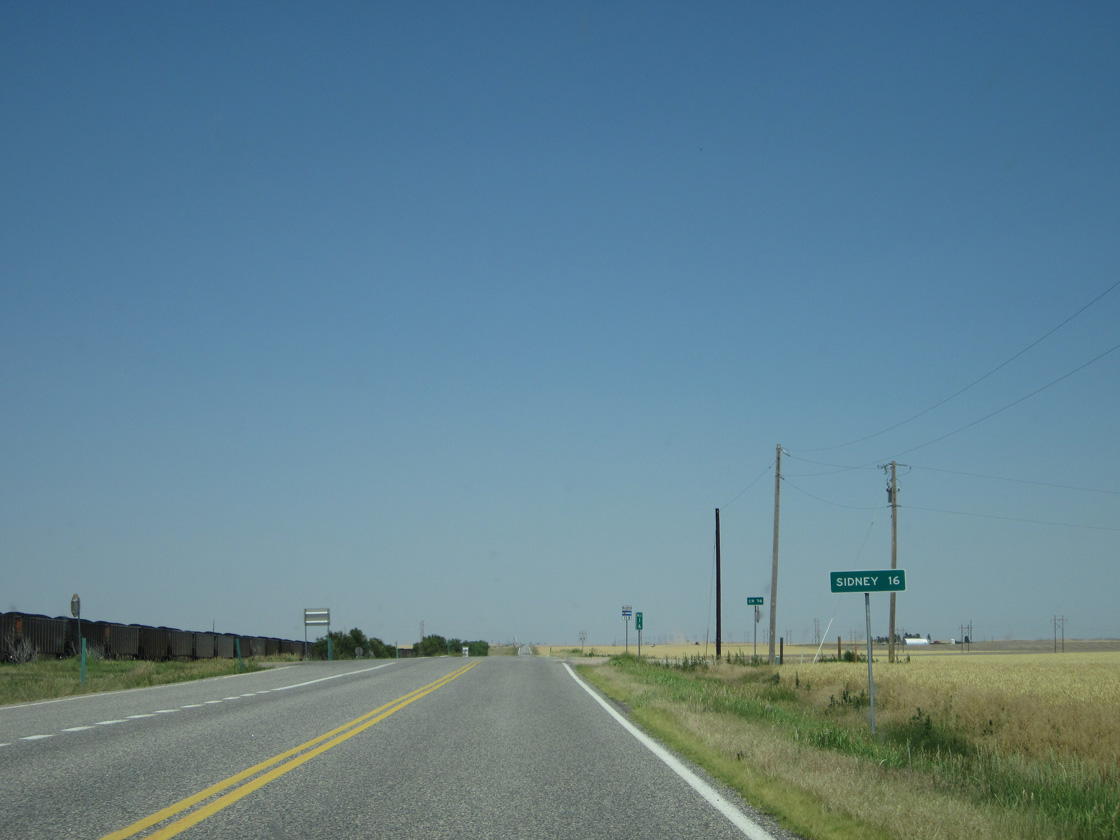
Sidney, Nebraska is 16 miles north of Peetz via SH 113, N-19 and U.S. 30.
06/23/12
06/23/12
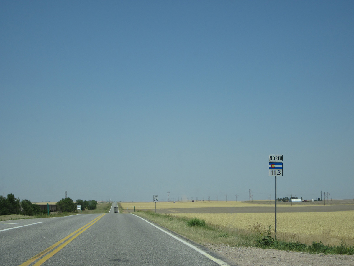
06/23/12
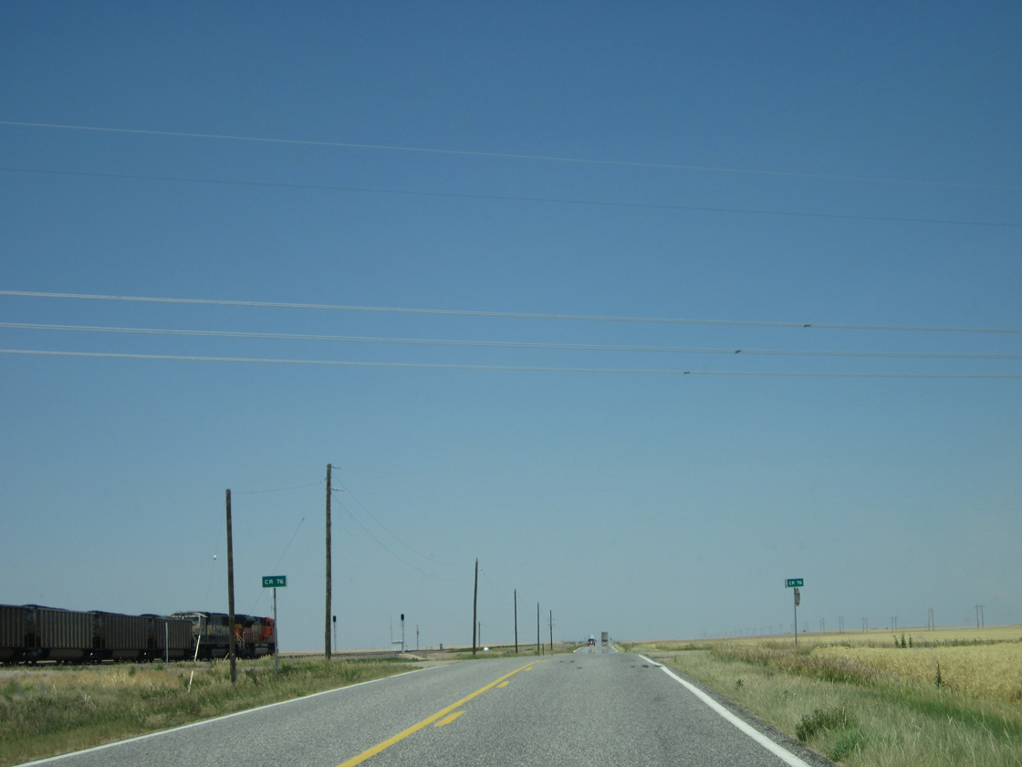
06/23/12
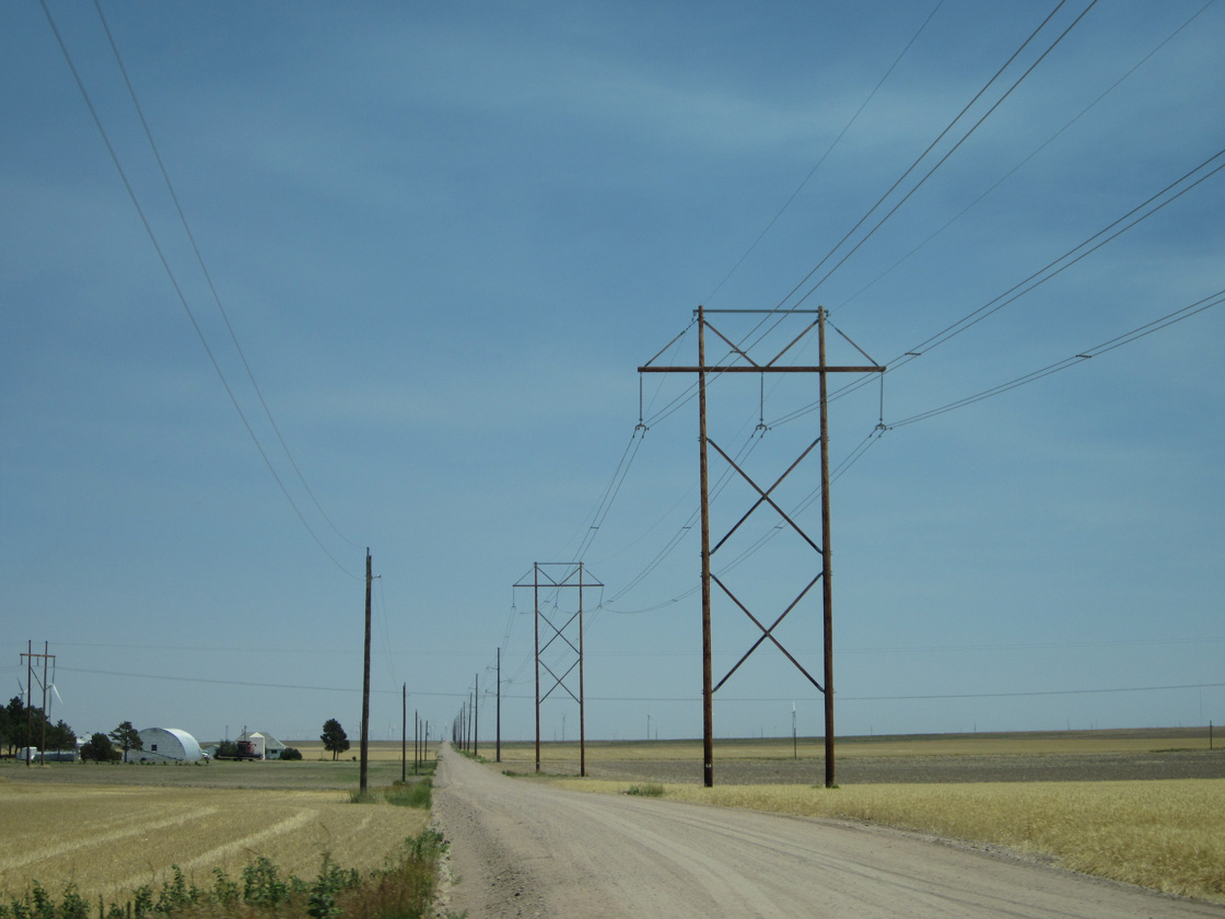
County Road 76 east of SH 113.
06/23/12
06/23/12
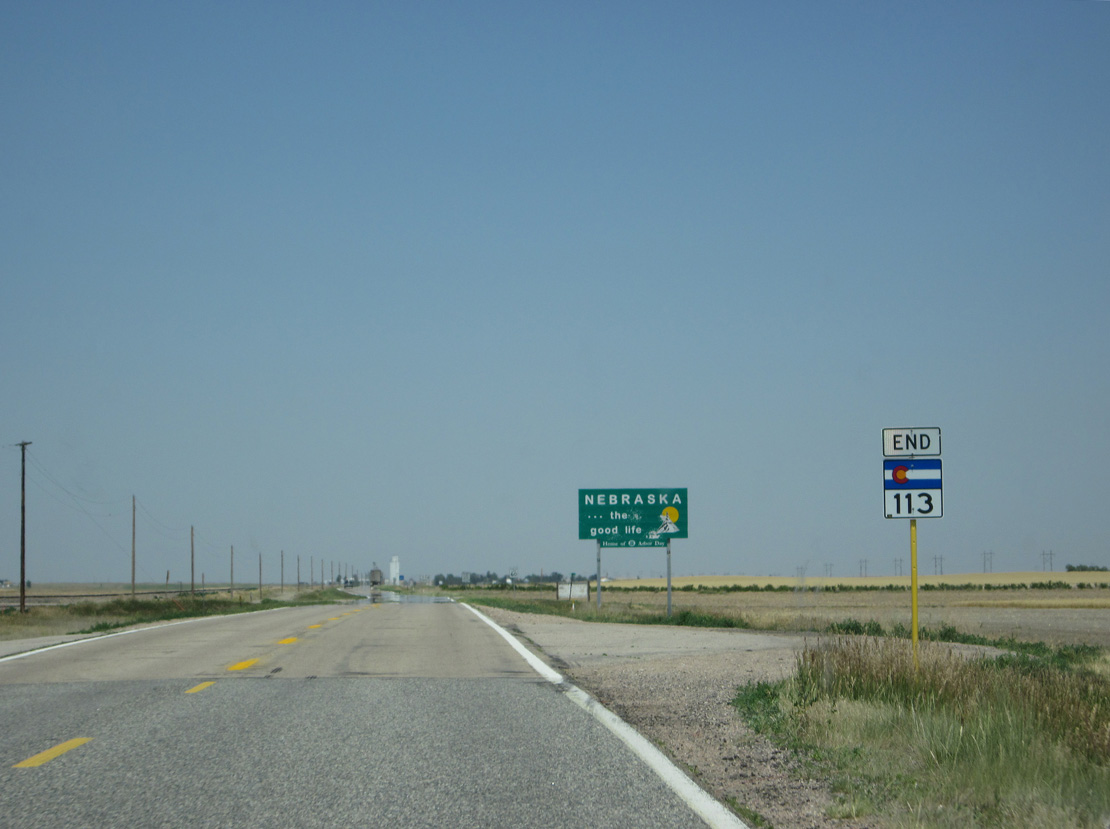
An end shield for SH 113 stands at the Nebraska state line.
06/23/12
06/23/12
Photo Credits:
- Andy Field: 06/23/12
Connect with:


Page Updated Sunday March 03, 2024.