
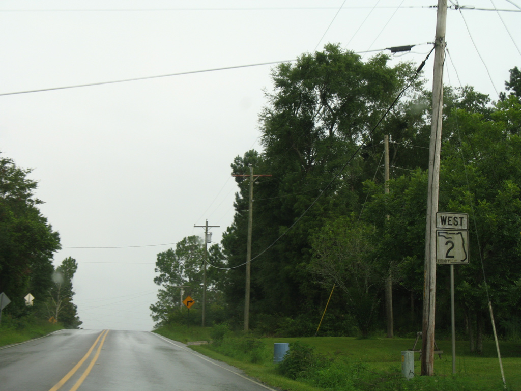
County Road 2
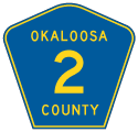
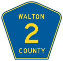
A number of segments for County Road 2 are designated throughout Northwest Florida. The westernmost extent travels 9.43 miles through Okaloosa County, between SR 189 at Blackman and SR 85 southwest of Laurel Hill. The second portion of CR 2 extends 13.20 miles southeast from Laurel Hill along a combination of 4th Street, Chicago Avenue and Steel Mill Creek Road into Walton County to Gordon and U.S. 301.
An implied overlap takes County Road 2 alongside U.S. 331 to a point east of New Harmony. CR 2 resumes northeast 19.43 miles to Caney Creek, Darlington and SR 81 at Royals Crossroads. 3.7 miles south of that end is the beginning of State Road 2, which traverses areas just south of the Alabama state line eastward to the Chattahoochee River into southwest Georgia.
Bridging the gap between segments of Georgia State Route 94 through Osceola National Forest, a second branch of State Road 2 runs through northern Columbia and Baker Counties. SR 94 crosses the southern notch of Charlton County, Georgia between the SR 2 end at Baxter and Saint George. Entering Florida again, SR 94 transitions onto the easternmost portion of County Road 2. Nassau County Road 2 travels just 1.38 miles between the east end of SR 94 and CR 121 near Kent.
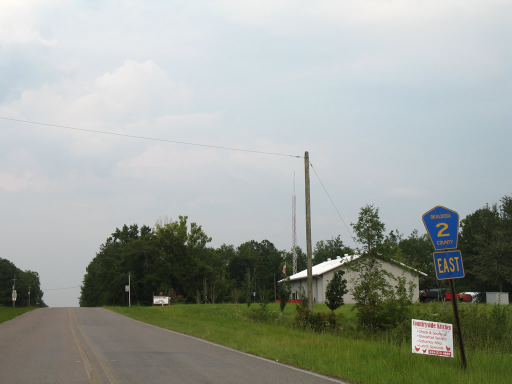
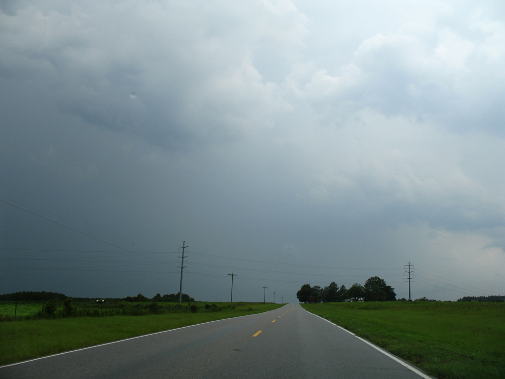
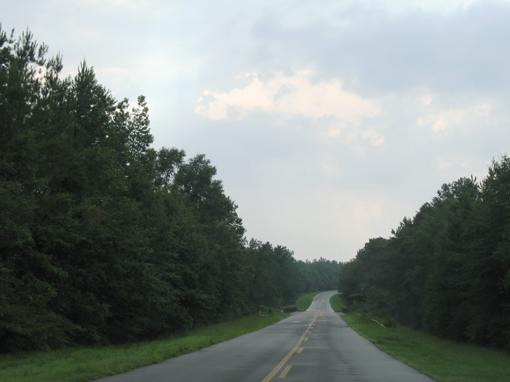
The eastbound beginning of Okaloosa County Road 2 as the road departs SR 189 and the settlement of Blackman.
07/13/07
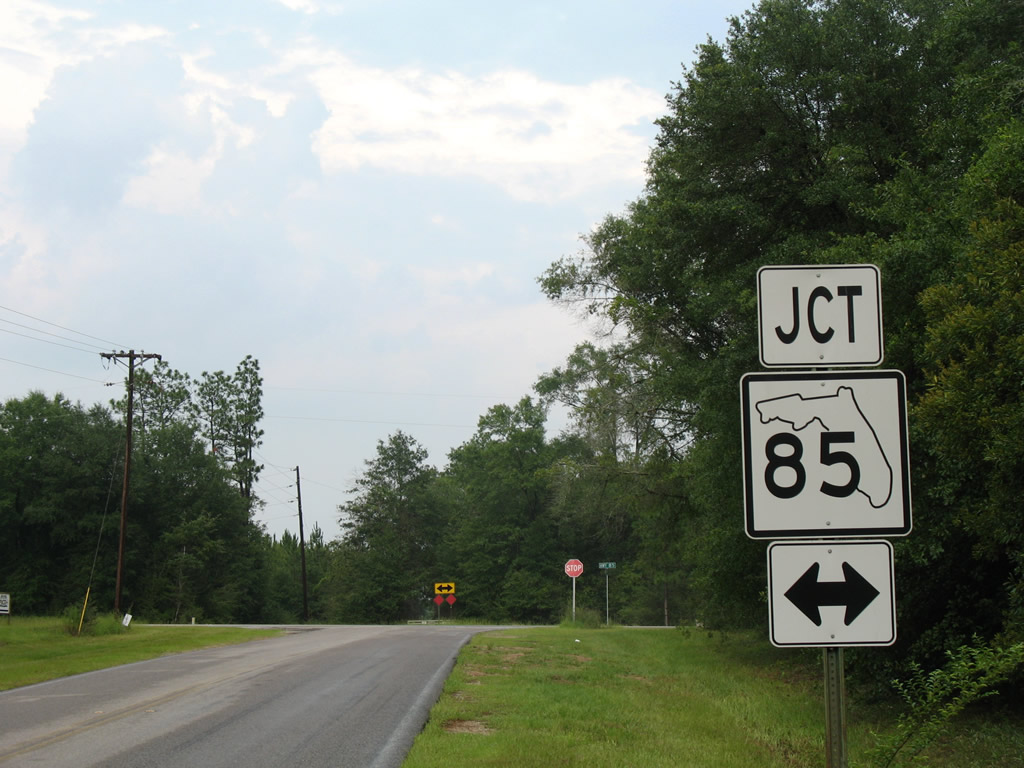
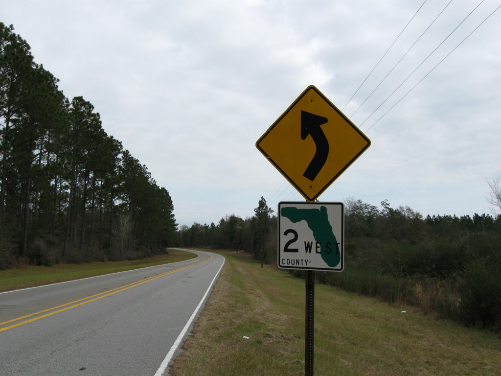
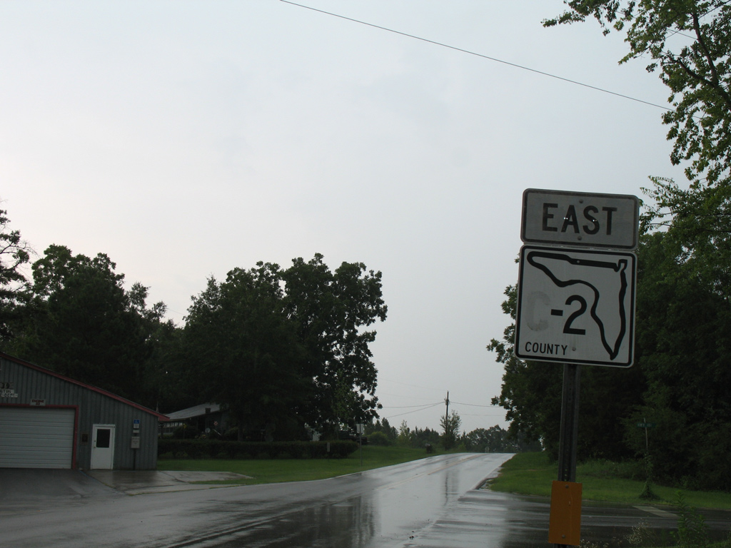
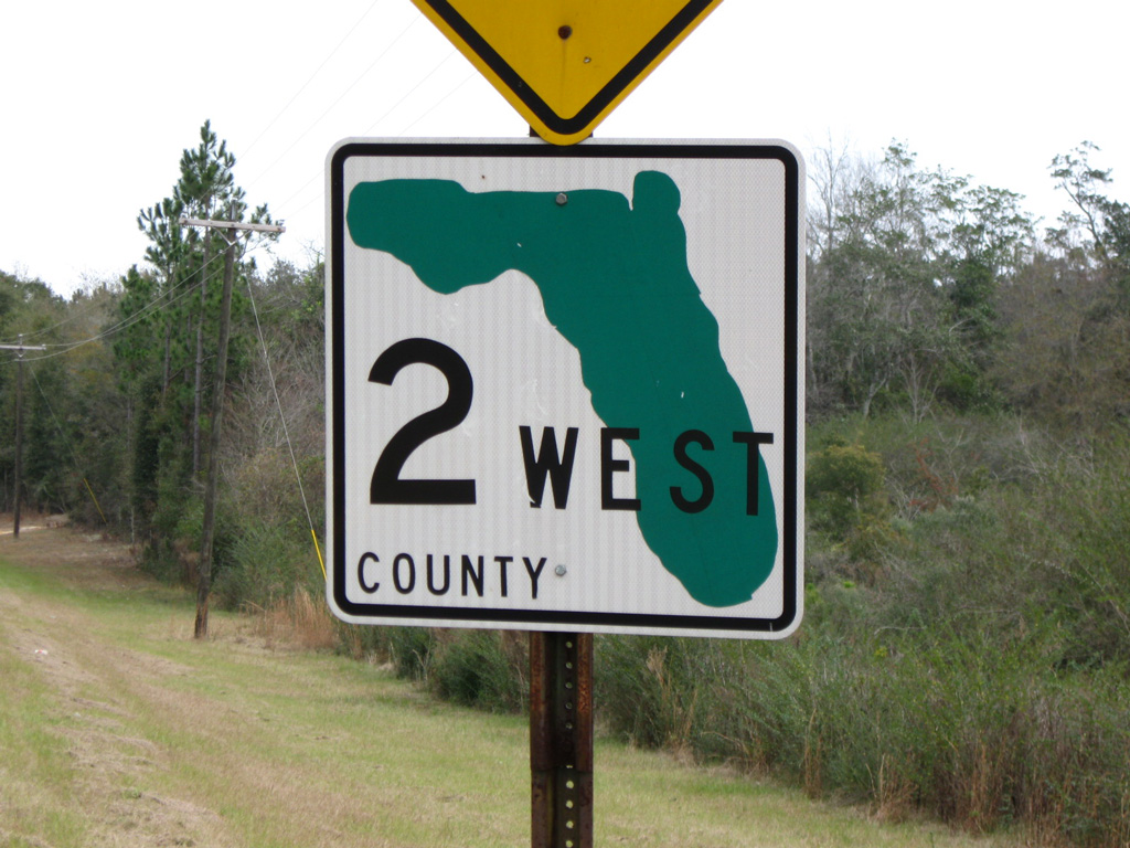
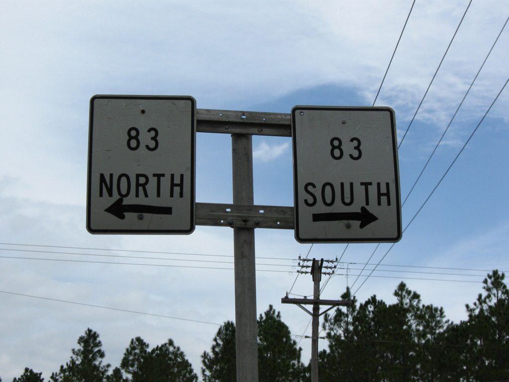
Oddly shaped Florida shields are found in both Okaloosa and Walton Counties in rural areas. This SR 85 shield lies along Okaloosa County Road 2 eastbound at its end. Okaloosa County Road 2 resumes in an unsigned fashion via 4th Street south and Chicago Avenue east in Laurel Hill to the northeast.
07/13/07
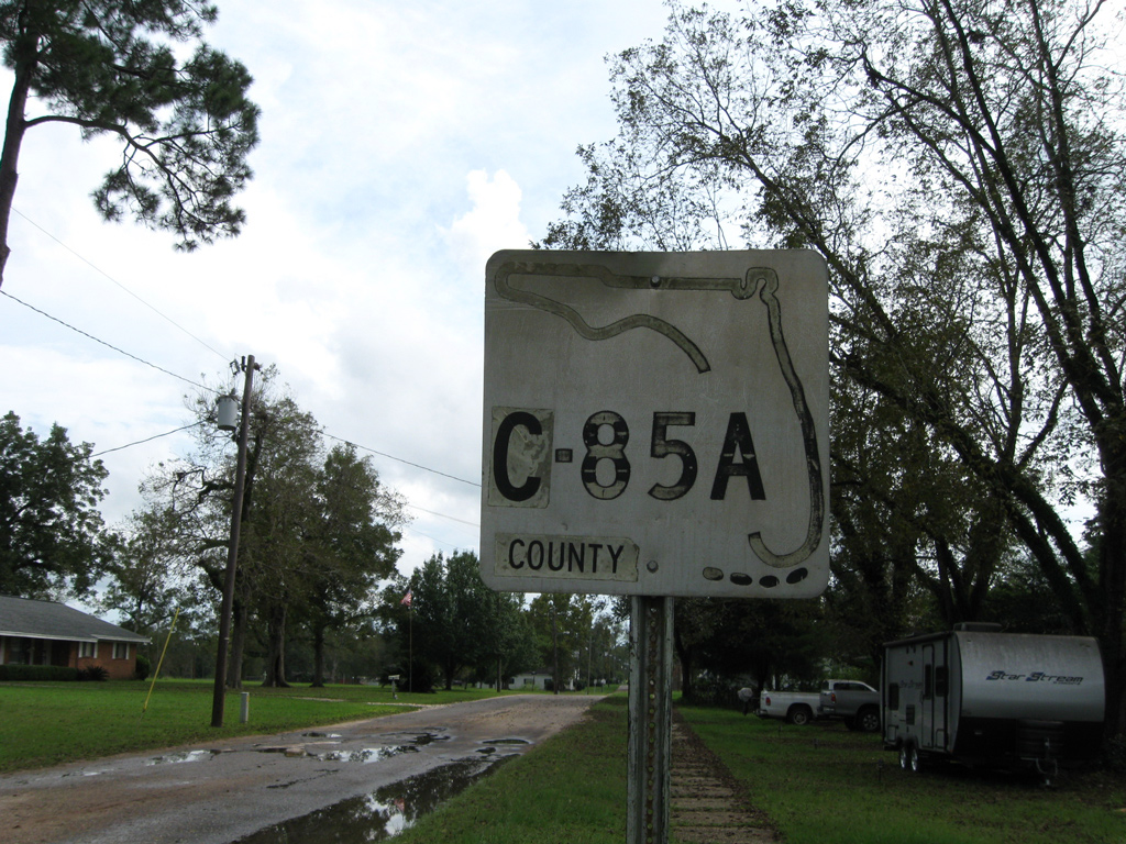
A keys shield (date stamped 08-31-71) for County Road 85A lines 4th Street south of 1st Avenue on what is otherwise unsigned County Road 2 east.
09/19/09
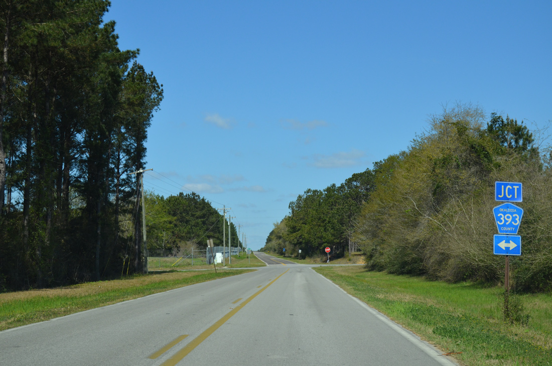
Okaloosa County Road 2 angles southeast from Laurel Hill to intersect County Road 393 (Robinson Road) ahead of this reassurance marker.
03/26/13
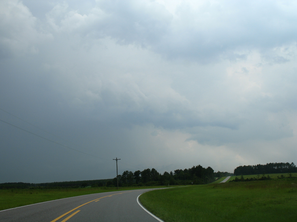
Entering Walton County along CR 2, just east of Pond Creek.
03/26/13
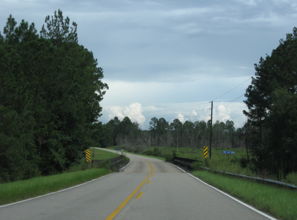
East of Walton County Road 147, CR 2 shifts southward to span Pine Log Creek.
09/19/09
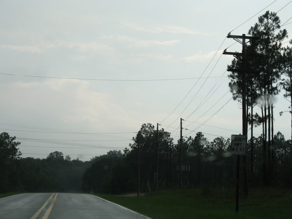
A short distance east of CR 2A south, CR 2 intersects U.S. 331 at an unmarked intersection at Gordon. U.S. 331 ventures south from Paxton to DeFuniak Springs through rural portions of north Walton County.
09/19/09
CR 2 shares an unsigned overlap with U.S. 331 southeast to CR 2A and its succeeding led northeast to Caney Creek.
12/23/09
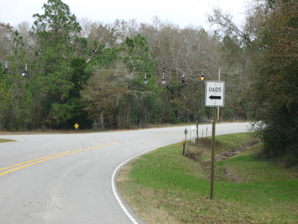
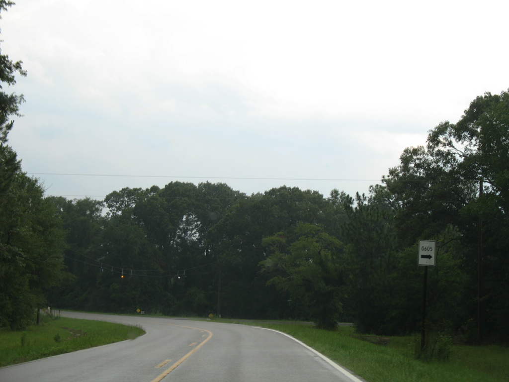
County Road 0605 branches north from CR 2 at Caney Creek. The rural highway spurs 3.71 miles north to a power substation at Sandy Ramp Road.
12/23/09
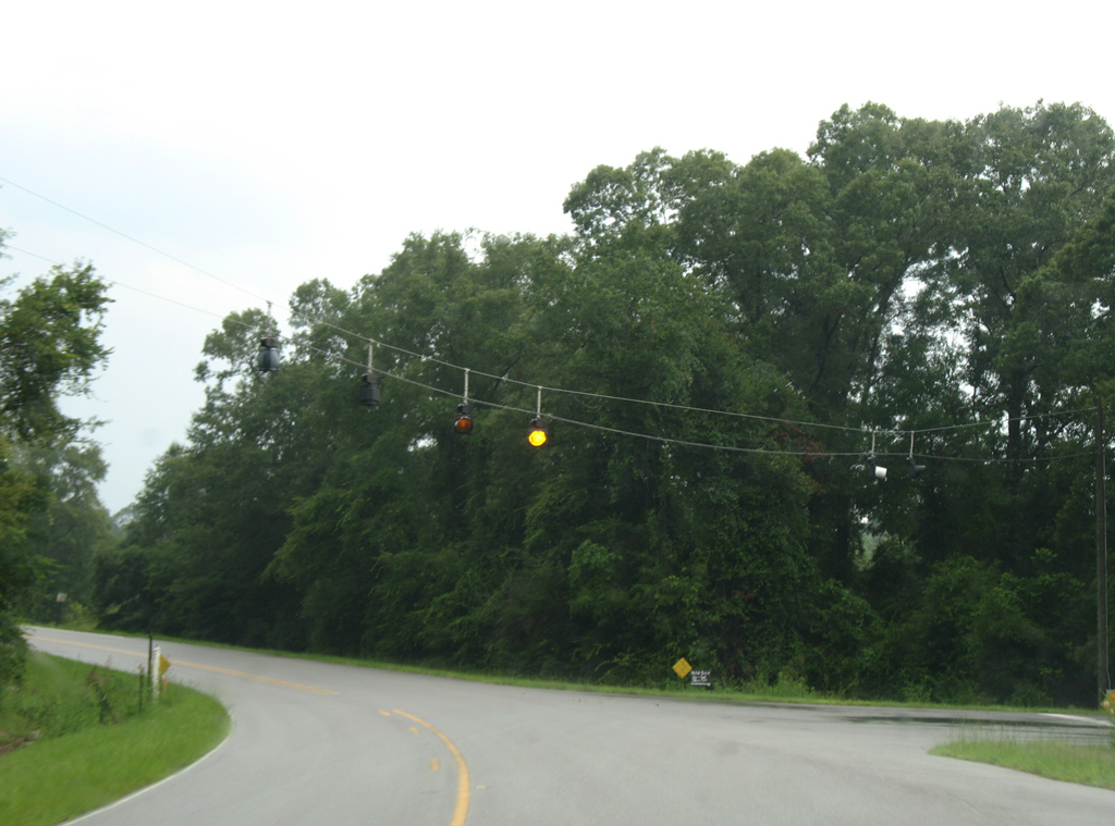
Turning east from Caney Creek, CR 2 plies across northern reaches of Big Swamp.
12/23/09
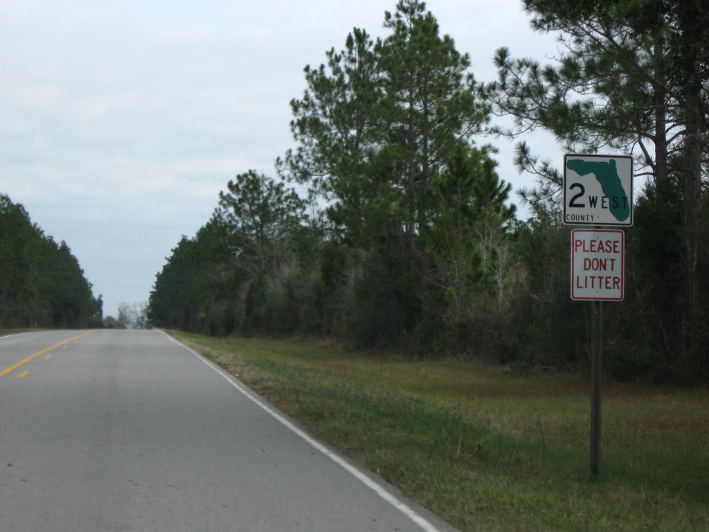
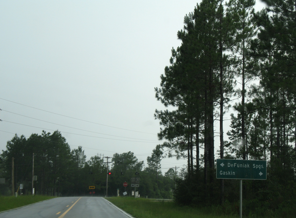
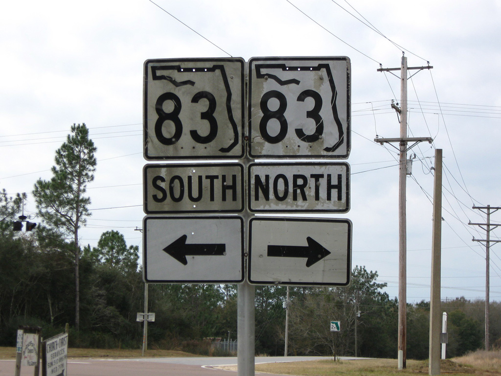
CR 2 east at SR 83. SR 83 extends 19.12 miles north from U.S. 331 and U.S. 90 at Defuniak Springs to the Alabama state line north of Gaskin.
12/23/09
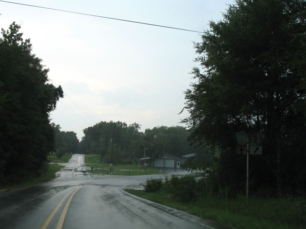
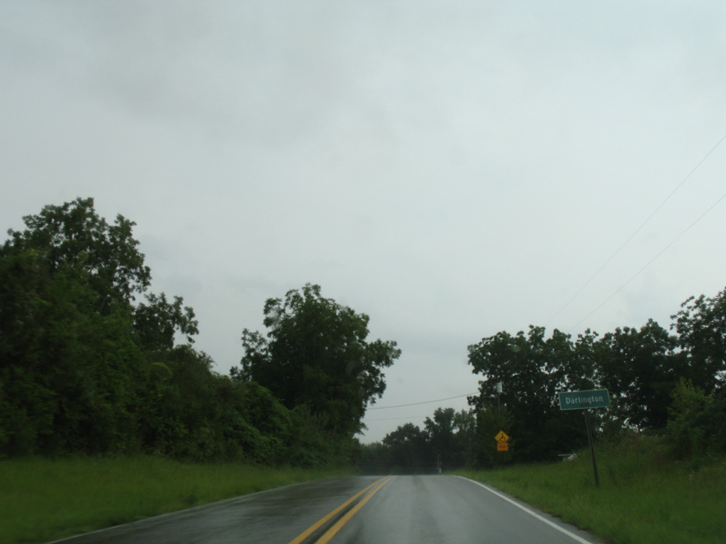
County Road 2 enters Darlington and turns northward at Otter Pond Road along St. Andrews Street. A short distance north from there, CR 2 veers northeast toward Porter Bay and Holmes County while St. Andrews Street becomes a part of County Road 181 north toward Limestone.
07/13/07
The weathered shields posted on CR 2 east at CR 181 north in Darlington were replaced by 2009 with these text-based shields. Walton County uses an array of unconventional shields along their county roads.
09/19/09
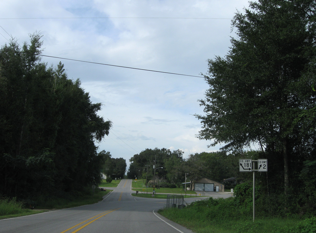
Walton County Road 181 branches southeast from St. Andrews Street to cross CR 2 en route to Prosperity and Westville. Another odd reassurance shield for County Road 2 appears at the intersection with CR 181 south.
07/13/07
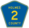
CR 2 winds northeast through a mixture of pasture and timberland to the Holmes County line.
12/23/09
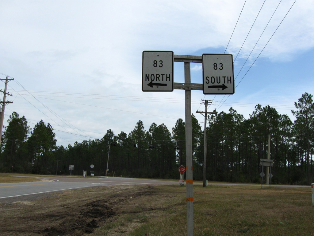
An unmarked intersection joins CR 2 with SR 81 across from CR 2A at Royals Crossroads. CR 2A extends east to SR 185 while SR 81 south links with SR 2 east to New Hope.
12/23/09
Walton County Road 2 meanders southwest from the Holmes County line to reach the community of Darlington.
07/13/07
What was a shield for SR 2 affixed with a COUNTY label was replaced with a Walton County custom-reassurance marker by 2009. This assembly resides between County Road 181 north and County Road 1883 (Otter Pond Road) south along St. Andrews Street in Darlington.
07/13/07
09/19/09
A forested course takes County Road 2 southwest from Darlington to SR 83 north of Glendale.
07/13/07
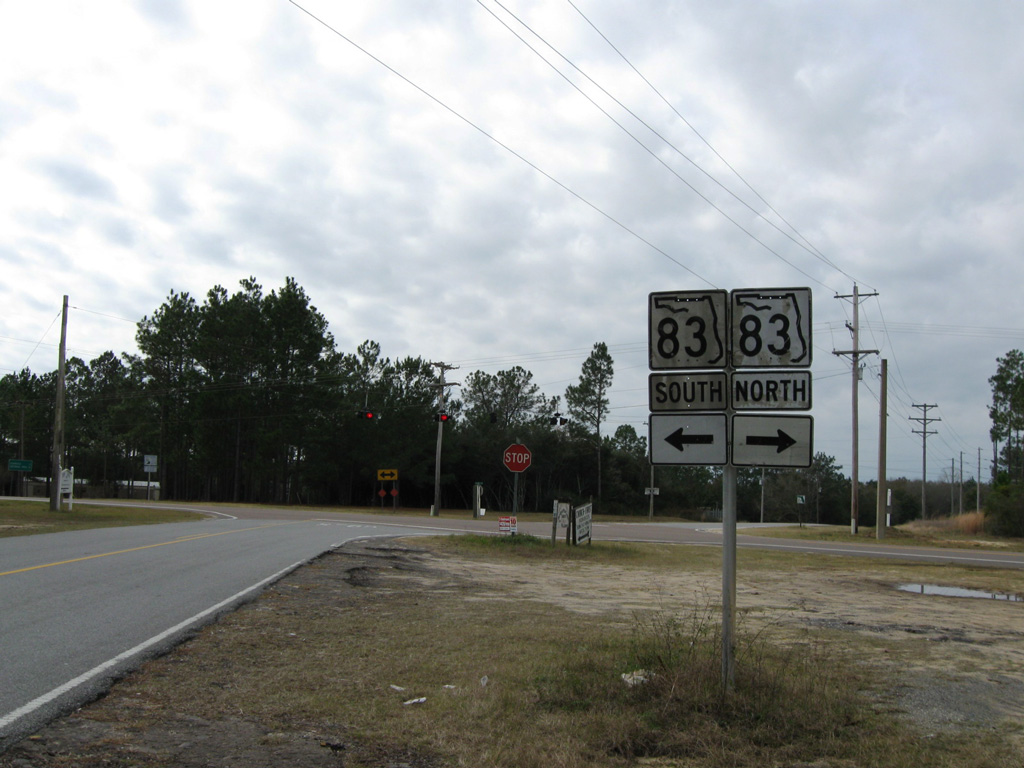
State Road 83 ventures 19.12 miles north from U.S. 90 in DeFuniak Springs to Glendale, Gaskin and the Alabama state line.
12/23/09
SR 83 north becomes Alabama Route 153 en route toward Earlytown and Samson. The state road is the hidden counterpart of U.S. 331 south from U.S. 90 to U.S. 98.
12/23/09
Leading west from SR 83 along County Road 2 toward Big Swamp.
07/13/07
Walton County Road 0605 (Jackson Still Cutoff Road) stems north from County Road 2 at Caney Creek.
07/13/07
CR 0605 loops west from a flasher with CR 2 to U.S. 331 south of CR-285 near Paxton.
07/13/07
Replaced by 2008, a repurposed State Road 2 shield directed motorists southward from Caney Creek.
07/13/07
CR 2 crosses Caney Creek before curving southward toward this transmission corridor.
07/13/07
Turning west on the final approach to U.S. 331 along CR 2.
07/13/07
An unmarked intersection sees County Road 2 west turn onto U.S. 331 north for the implied overlap to Gordon. U.S. 331 otherwise winds northwest from DeFuniak Springs to Paxton and Florala, Alabama.
07/13/07
Walton County Road 2 resumes a westward heading from U.S. 331 and Gordon to Laurel Hill in Okaloosa County.
07/13/07
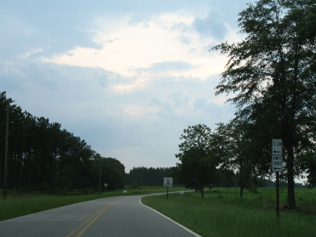
Just west of U.S. 331 is the north end of Walton County Road 2A, a 4.68 mile loop south to New Harmony and east back to U.S. 331 near the other CR 2 intersection. CR 1087, former County Road 285, stems south from New Harmony to Fox Hill and U.S. 90 at Mossy Head.
07/13/07
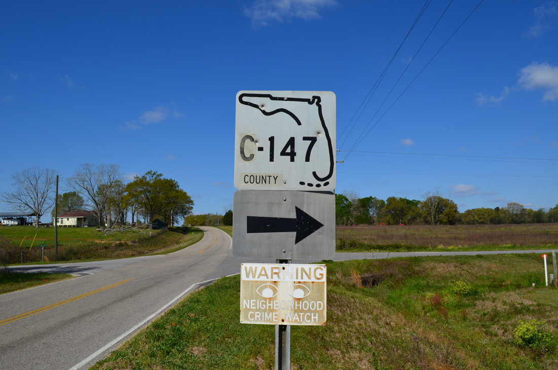
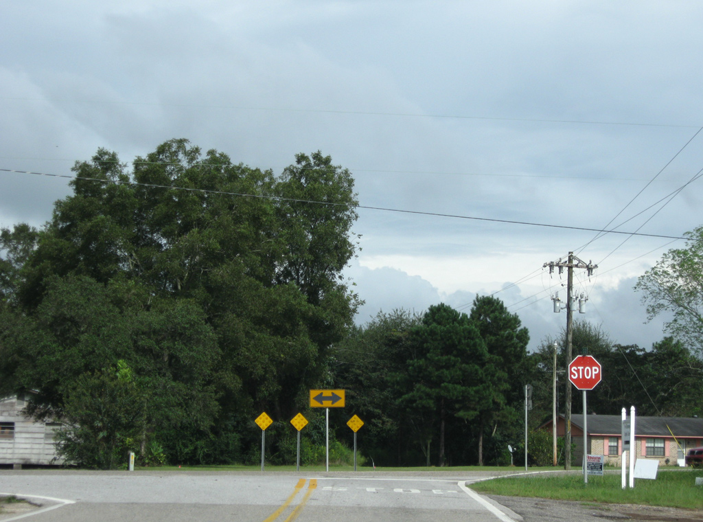
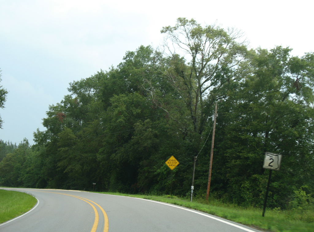
Walton County Road 147 (Children's Home Road) begins and travels north from County Road 2 to Flowersview and SR 85 at Pleasant Grove. A rare keys shield, date-stamped 02-18-69, was the lone shield posted at CR 2 and 147.
03/26/13
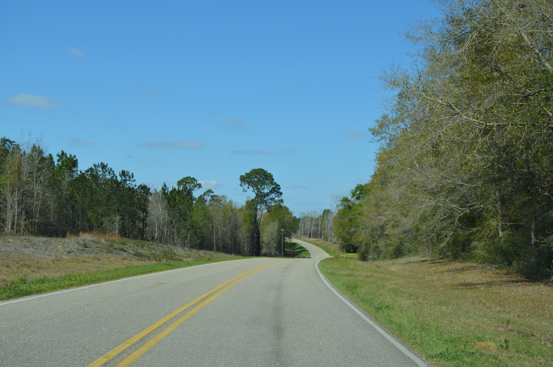
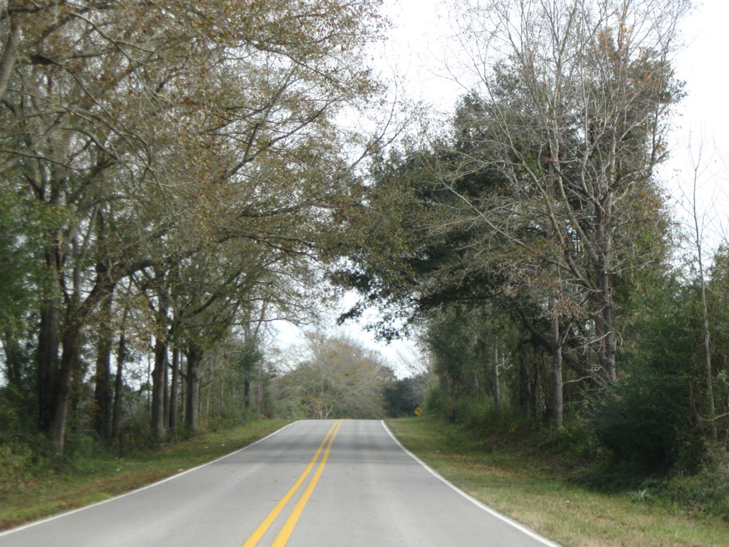
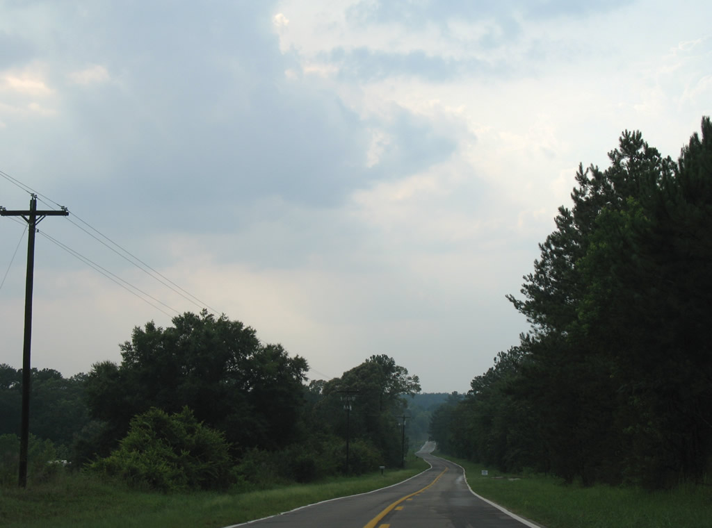
County Road 2 enters a forested area west of Allen Road and begins curving northward.
03/26/13
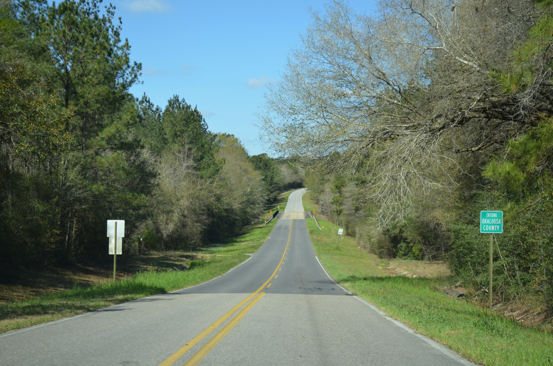
Crossing the Okaloosa County along County Road 2 west.
03/26/13
Okaloosa County Road 2 west crosses Pond Creek near the Walton County line.
07/13/07
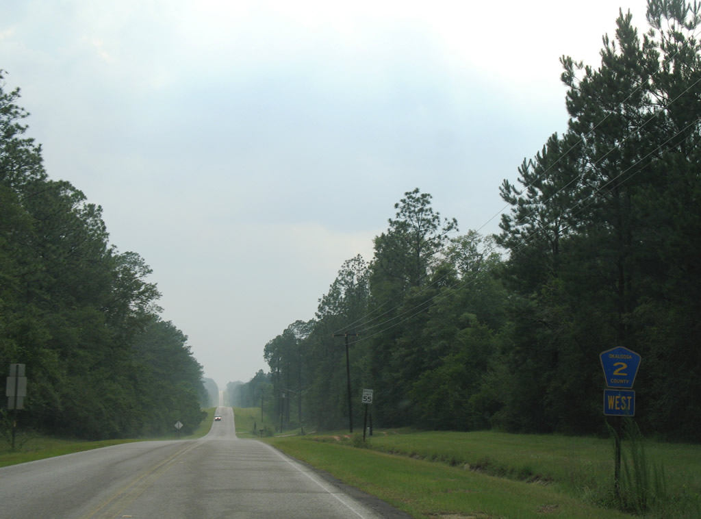
1.16 miles into Okaloosa County is the cR 2 cross roads with CR 393 (Robinson Road). Robinson Road carries CR 393 northward to SR 85 at Svea. Southward the county road continues a rural path to Dorcas and U.S. 90 at Deerland.
03/26/13
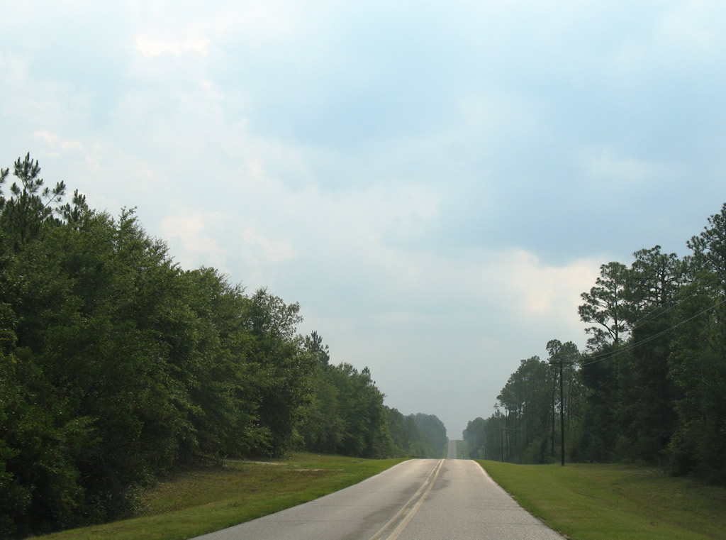
Continuing west along Okaloosa County Road 2 (Steel Mill Creek Road) from Okaloosa County Road 393.
07/13/07
Okaloosa County Road 2 used to split into two unsigned branches outside of Laurel Hill. The southern branch followed Millside Road west to SR 85 south of Almarante. The northern branch continued the Okaloosa County Road 2 mainline along Steel Mill Creek Road into Laurel Hill. This scene looks northwestward after the former partition.
07/13/07
Okaloosa County Road 2 resumes west of SR 85 near Almarante. This branch of the county road travels 9.43 miles to SR 189 at Blackman.
07/13/07
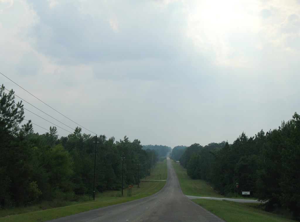
Low rolling hills and forest along County Road 2 west toward Oak Grove.
07/13/07
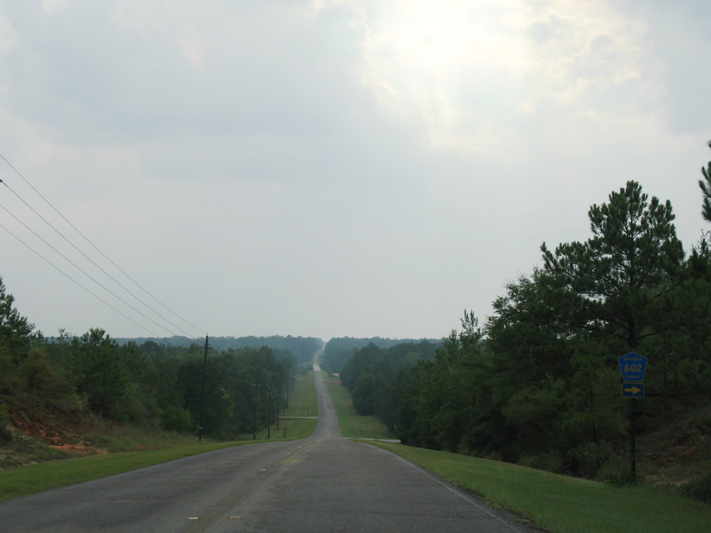
Approaching Okaloosa County Road 602's west end on Okaloosa County Road 2 west near Oak Grove.
07/13/07
Okaloosa County Road 602 loops 5.23 miles eastward to SR 85 at Almarante.
07/13/07
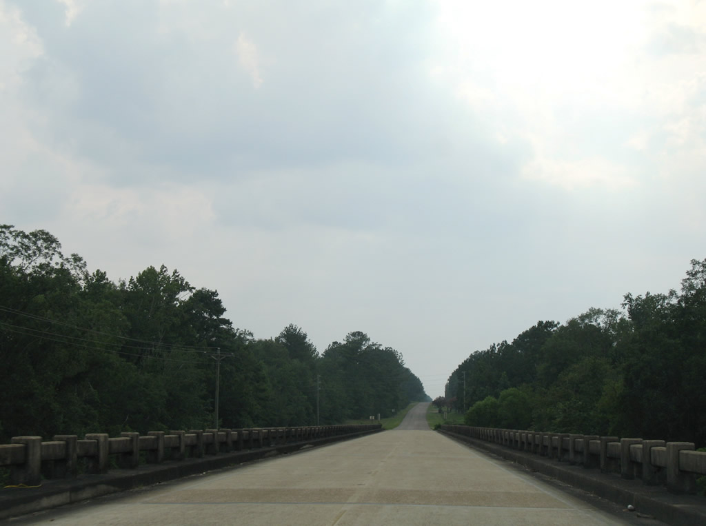
Spanning the Yellow River along Okaloosa County Road 2 westbound at Oak Grove.
07/13/07
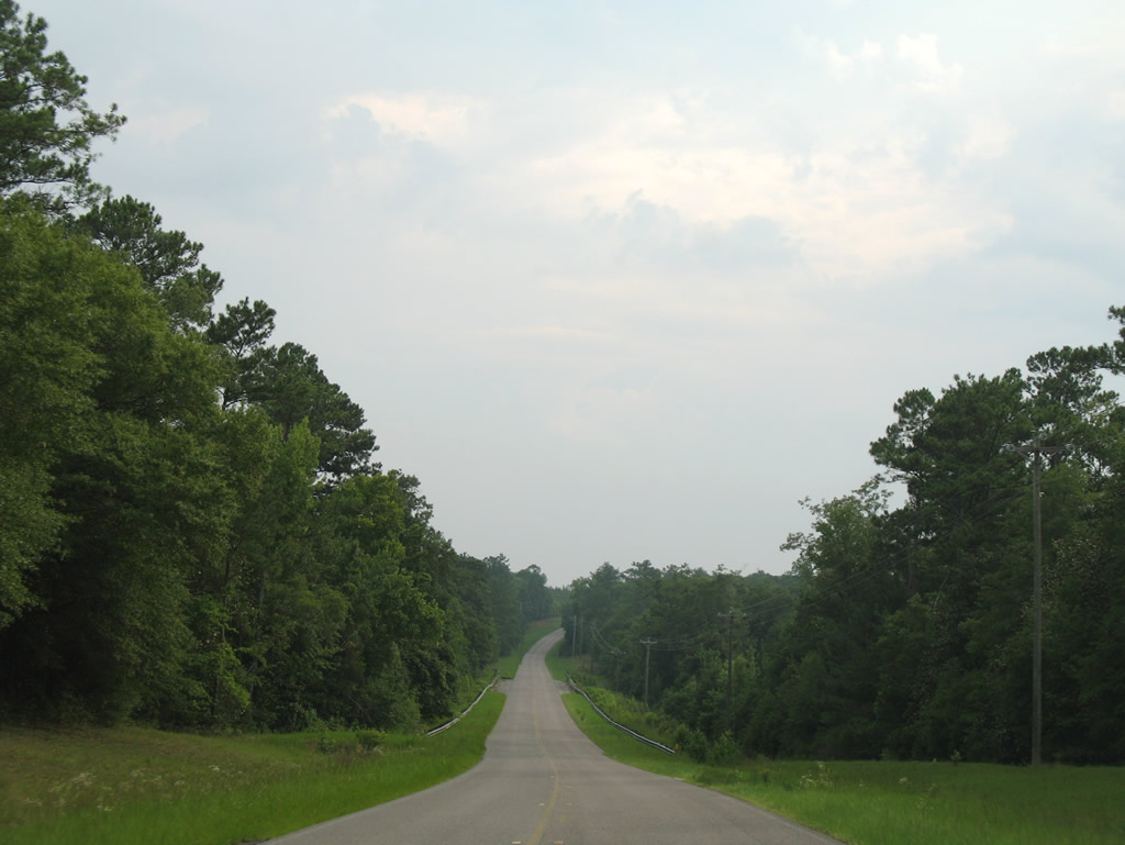
Nearing the Horse Creek crossing on Okaloosa County Road 2 westbound.
07/13/07
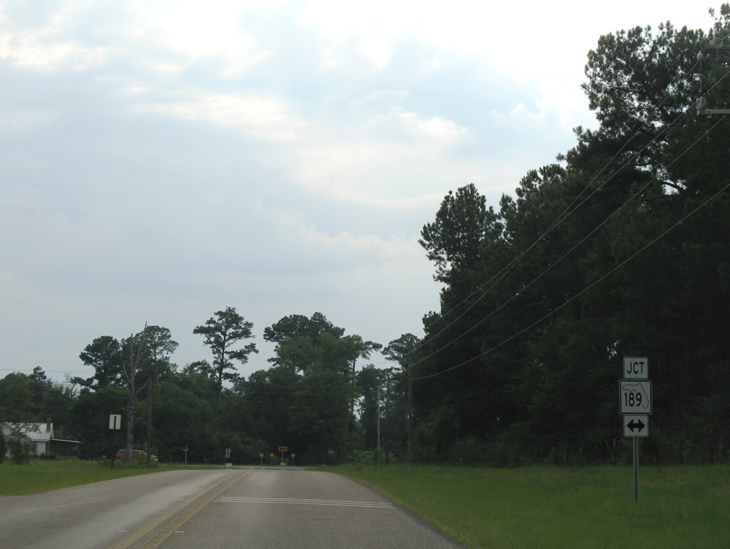
Entering the rural settlement of Blackman, Okaloosa County Road 2 concludes at SR 189. SR 189 heads north to Escambia Farms and Andalusia via Alabama 137. Southward the state road continues to SR 4 at Baker.
07/13/07
Photo Credits:
- Alex Nitzman: 07/13/07, 03/26/13
- AARoads: 09/19/09
- Brent Ivy: 12/23/09
Connect with:
Page Updated Friday April 17, 2020.