
County Road 2 - Bienville Boulevard

An unsigned route, Mobile County Route 2 is or was the designation for Bienville Boulevard on Dauphin Island. The route connectse residences at the west end of the island with Alabama State Route 193 (LeMoyne Avenue) north and the Mobile Bay Ferry at Fort Gaines to the east.
Storm surge from Hurricane Katrina in 2005 created an inlet between the undeveloped western extent of Dauphin Island and the built up areas along Bienville Boulevard. Federal funds from the settlement with BP in 2011 following the oil spill in 2010 were used pay for construction to "plug the gap" with a stone wall.
 Bienville Boulevard - East
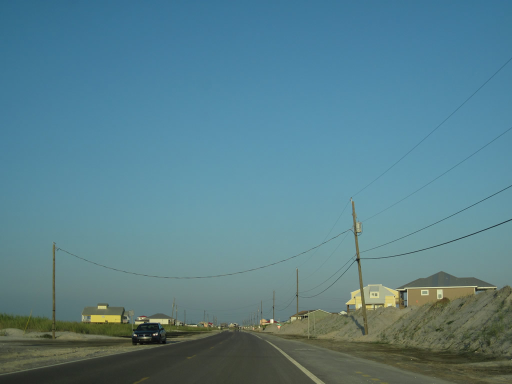
Bienville Boulevard runs east from West End Public Beach by an array of homes along the Gulf of Mexico.
09/12/10
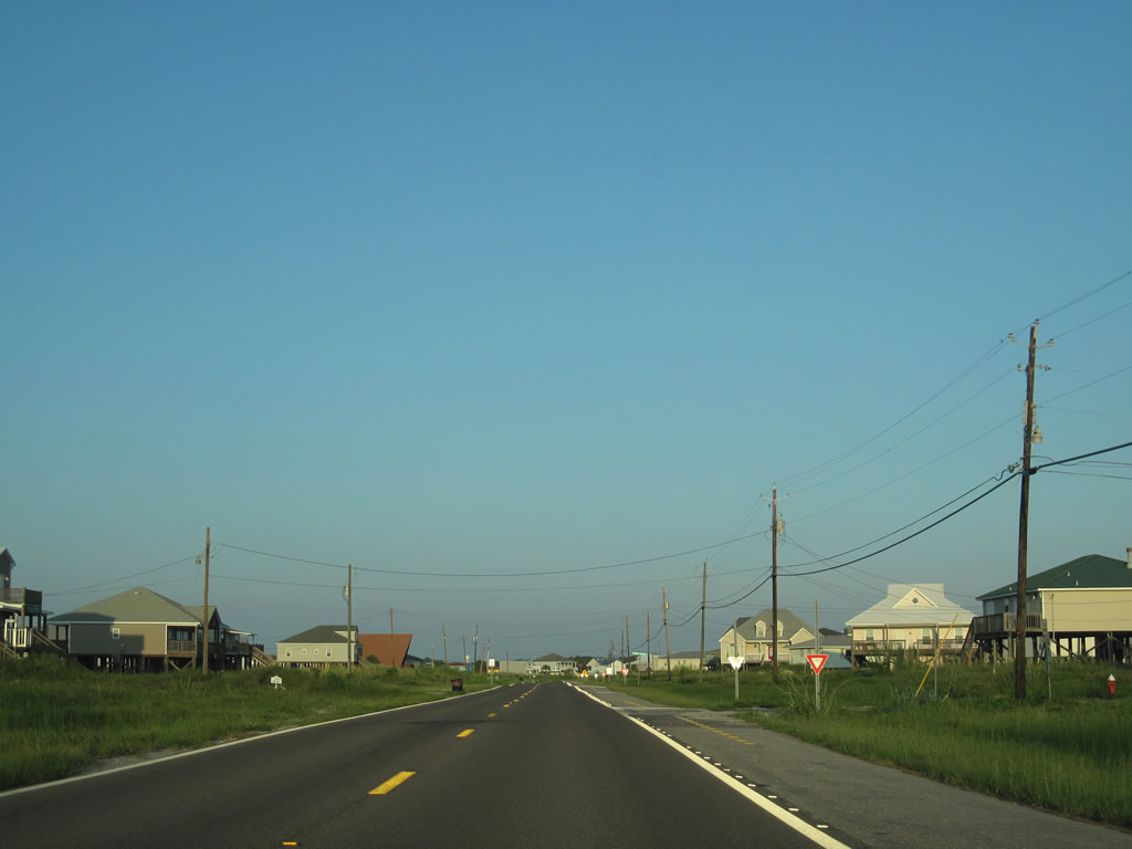
Dauphin Island is generally populated by individual beach houses instead of the usual assortment of condo clusters and high rises found elsewhere along the Gulf Coast.
09/12/10
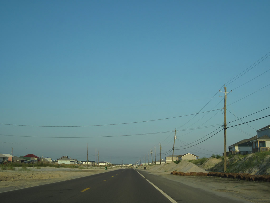
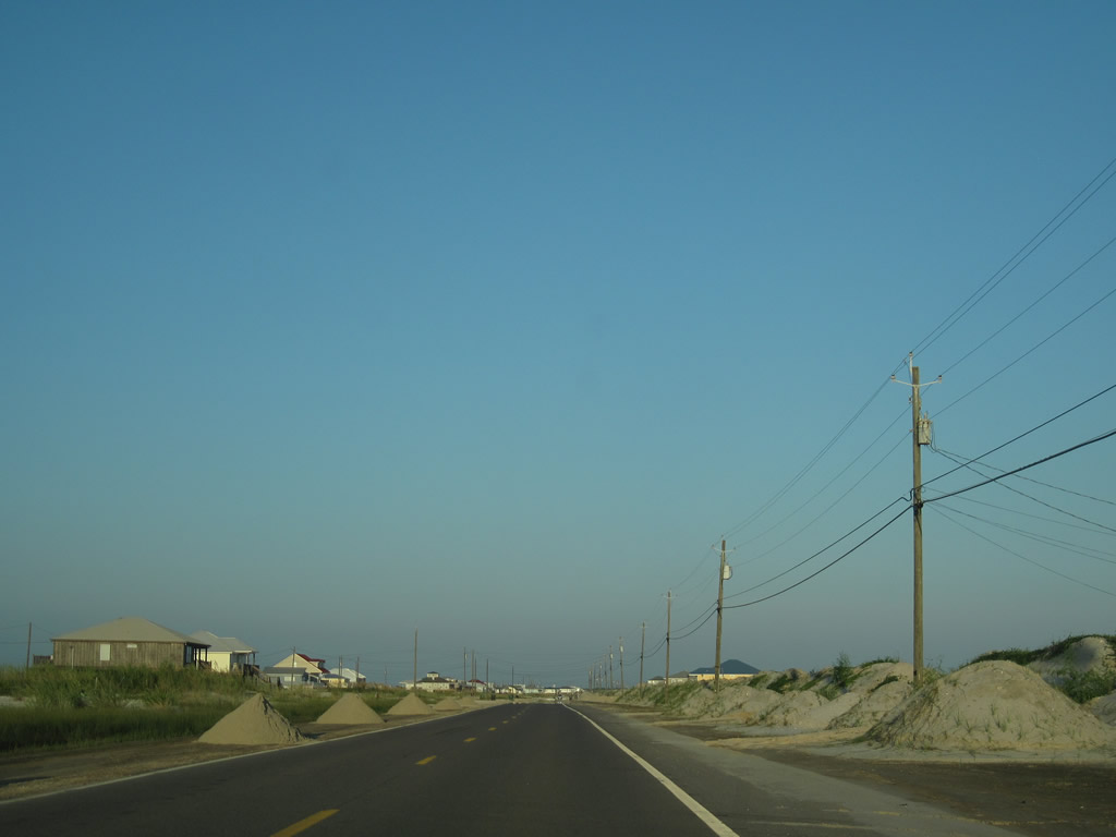
Bienville Boulevard expands into a four lane parkway east of Pirates Cove Street and Lafitte Bay. A public beach lies south of Penalver Street.
09/12/10
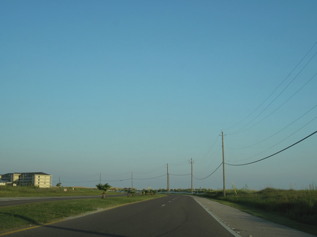
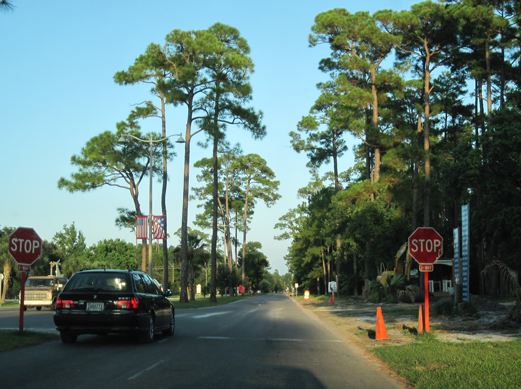
Forthcoming LeMoyne Avenue leads north from Bienville Boulevard to SR 193. Linking Dauphin Island with the Mobile County mainland across the Gordon Persons Bridge, SR 193 travels 26.01 miles to U.S. 90 at Tillman's Corner.
09/12/10
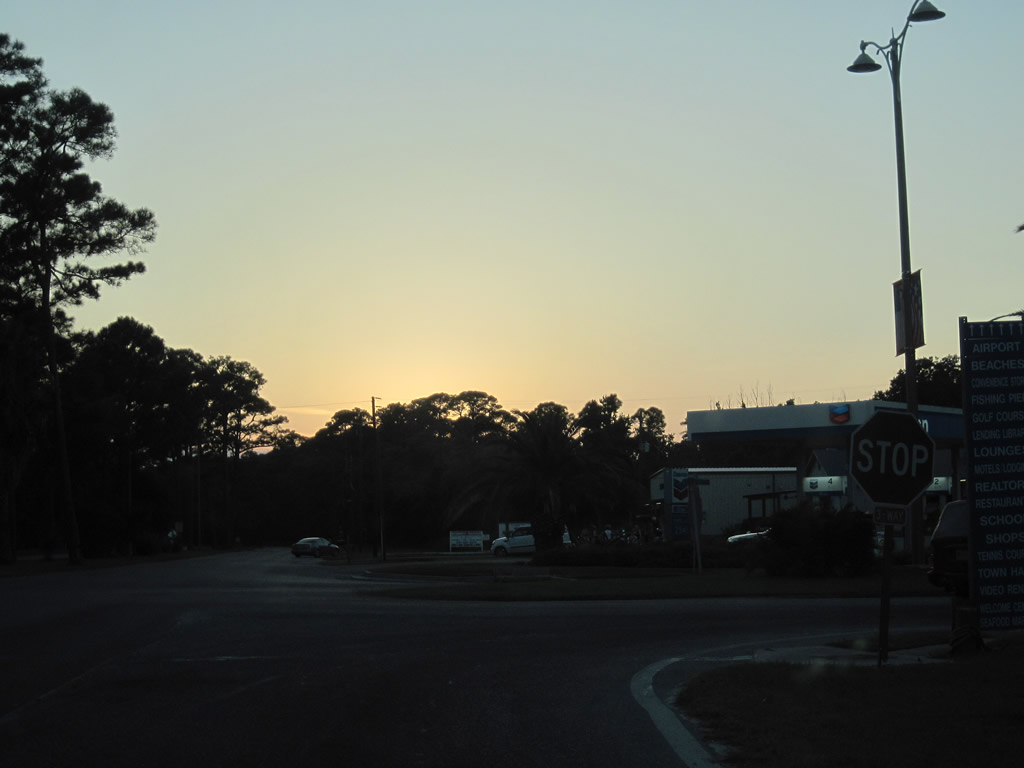
No trailblazers appear for SR 193 along Bienville Boulevard at LeMoyne Avenue. The state route commences north across Pass Chateague.
09/12/10
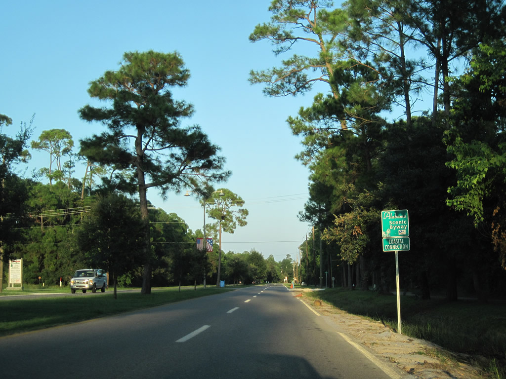
Alabama's Coastal Connection scenic byway follows Bienville Boulevard east from SR 193 to the Mobile Bay Ferry. The scenic route follows 130 miles of Alabama state routes and county roads, as well as the Mobile Bay Ferry between Dauphin Island and Fort Morgan.
09/12/10
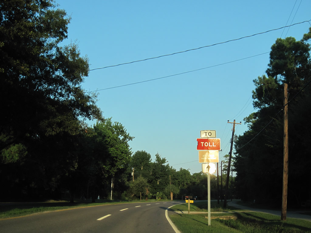
Toll ferry trailblazers appear along SR 188 east and SR 193 south to Bienville Boulevard and the Mobile Bay Ferry launch at the east end of Dauphin Island.
09/12/10
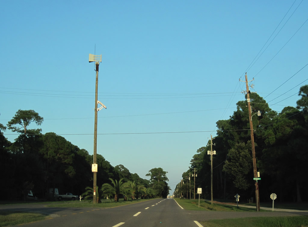
Eastbound Bienville Boulevard at Buchanan Street. Buchanan Street represents one of the many roads of the Dauphin Island street grid, leading north toward Confederal Pass and south to Admiral Semmes Avenue.
09/12/10
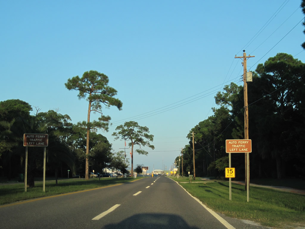
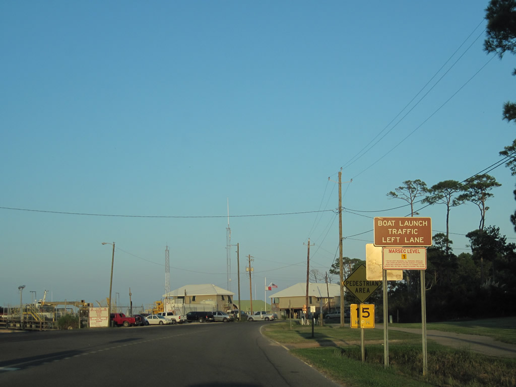
The four lane section of Bienville Boulevard concludes by the Audubon Bird Sanctuary. The left lane defaults into the Mobile Bay Ferry queue area.
09/12/10
The Mobile Bay Ferry connects Dauphin Island with Fort Morgan (SR 180) in Baldwin County.
09/12/10

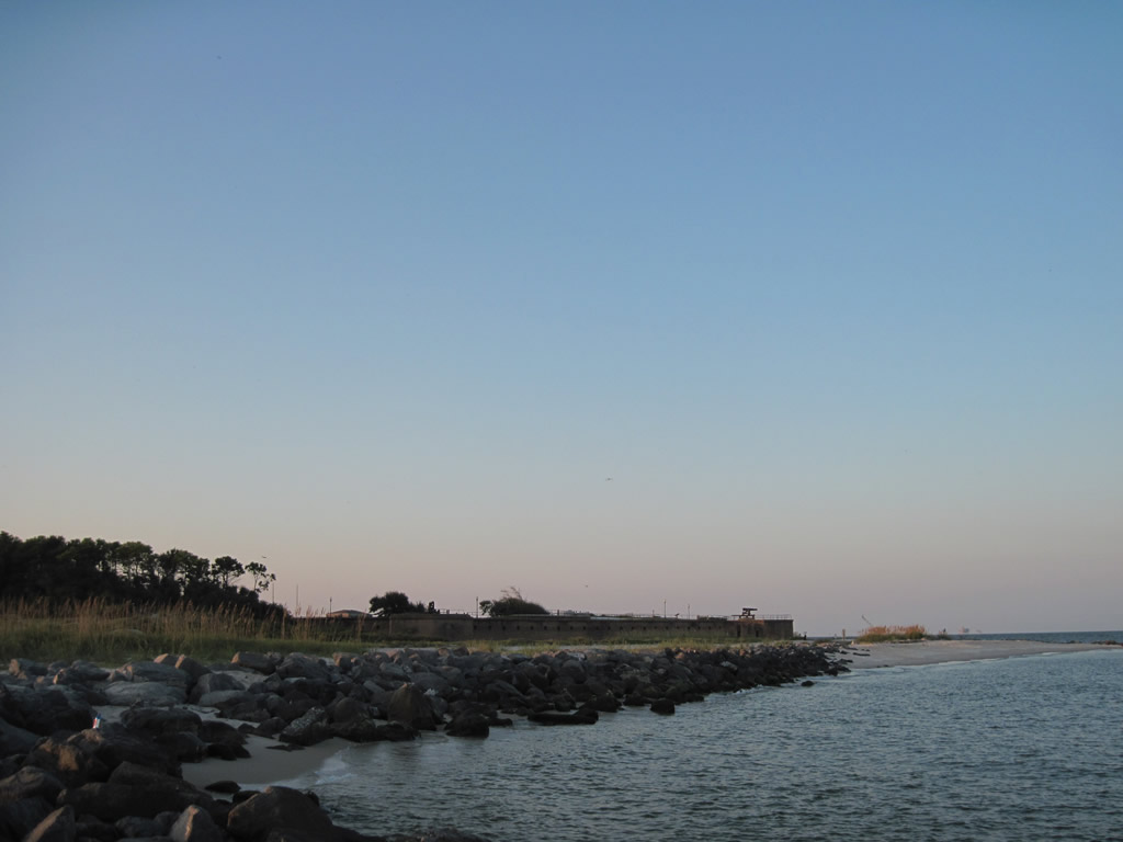
Bienville Boulevard reaches Fort Gaines and wraps around Pelican Point as a local road.
09/12/10
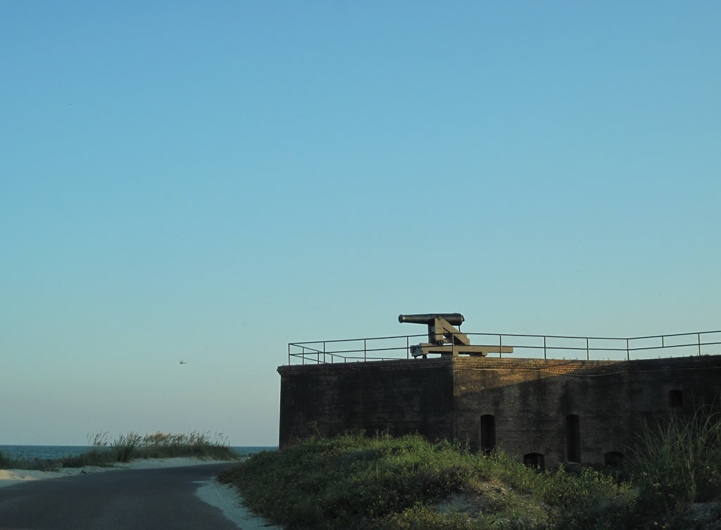
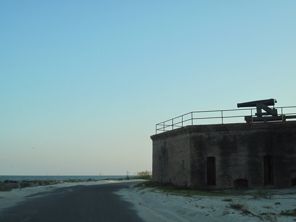
Encircling historic Fort Gaines at Pelican Point on the east end of Dauphin Island. Fort Gaines, along with Fort Powell to the west, and Fort Morgan to the east were Confederate Army forts during the Civil War used in the defense against the Union Navy for the city and bay of Mobile.
09/12/10
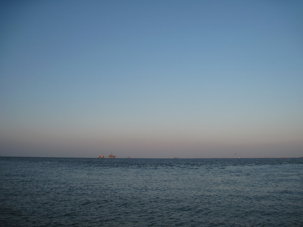
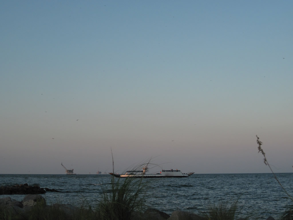
Many deep sea oil platforms are visible off the coast of Dauphin Island. During the night, several areas of light appear along the southern horizon from the many oil collecting sites offshore.
09/12/10

Sunset from the east end of Dauphin Island. Waters from Pelican Bay lap the southern shore east of the Pelican Island sandbar.
09/12/10
The Fort Morgan of the Mobile Bay Ferry system returns from Baldwin County.
09/12/10
Bienville Boulevard westbound at LeMoyne Avenue north to SR 193. A handful of businesses and marinas line the street northward to the Gordon Persons Bridge at Chugae Point.
09/12/10
Photo Credits:
- ABRoads: 09/12/10
Connect with:

Page Updated Monday August 08, 2022.