
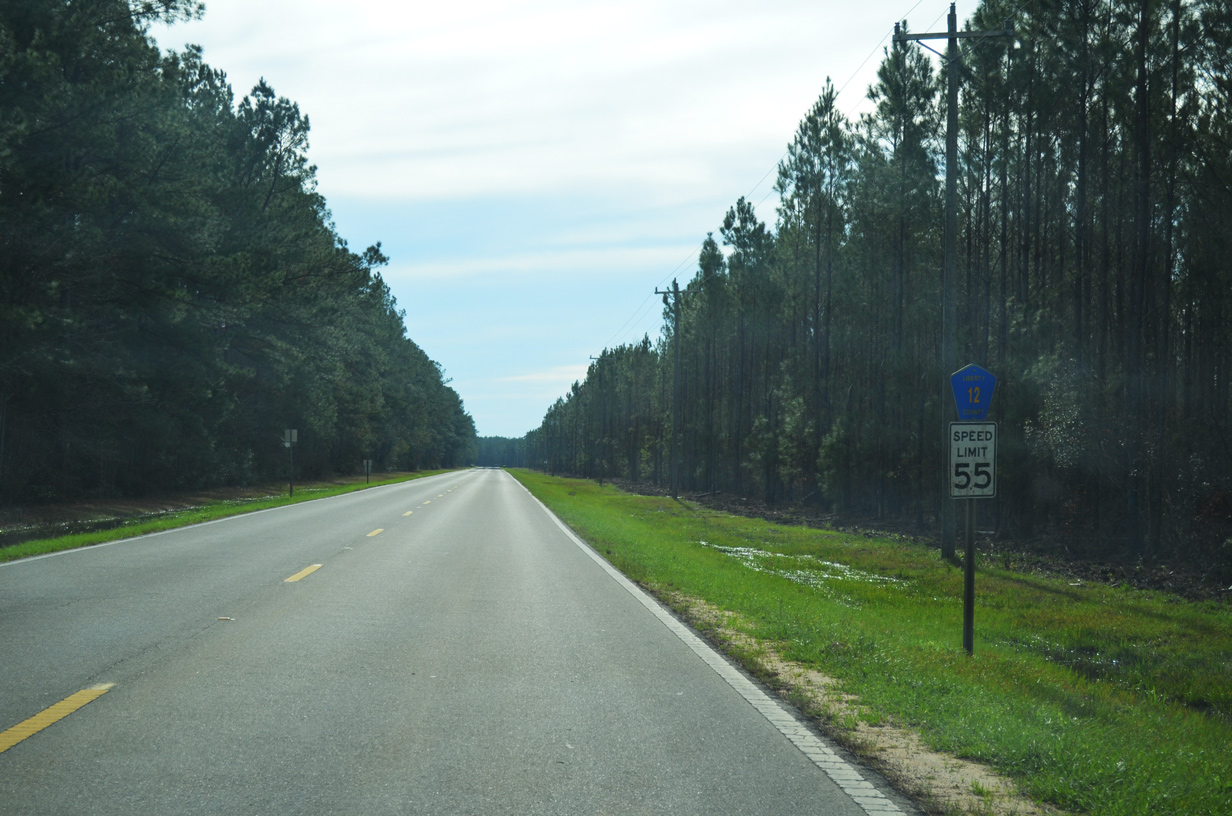
Liberty County Road 12

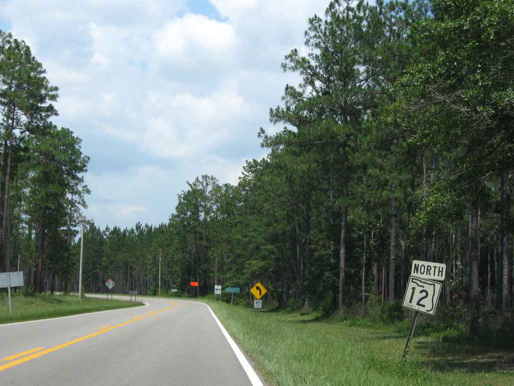
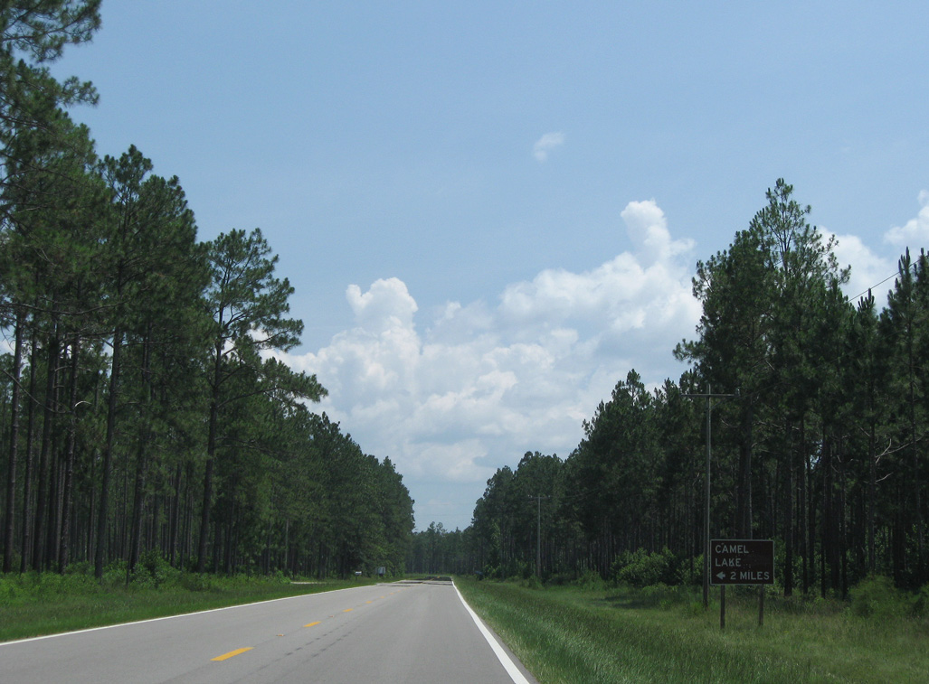
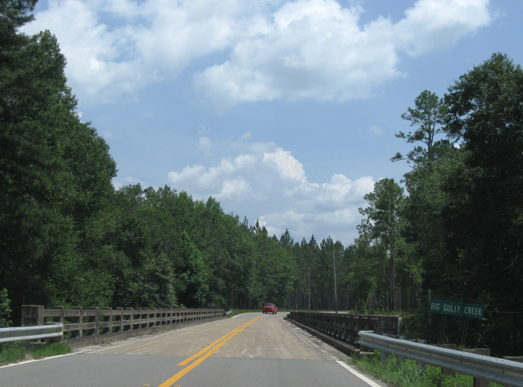
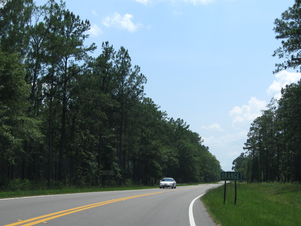
State Road 12 angles northeast from SR 20 in Bristol toward Greensboro and Quincy. County Road 12 extends south from SR 20 into Apalachicola National Forest. The 21.40 mile long route travels to Lake Mystic, Orange and SR 65 at Wilma. The south end splits into a wye with a 0.39 mile long branch linking with SR 65 north toward Central City.
06/27/09
The junction banner was date stamped 10-07-65.
06/27/09
06/27/09
06/27/09
06/27/09
06/27/09
06/27/09
06/27/09
06/27/09
The keys shield preceding the north end of CR 333 was replaced by 2011.
06/27/09
06/27/09
01/16/16
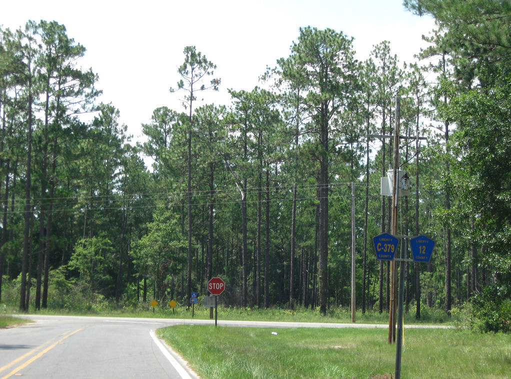
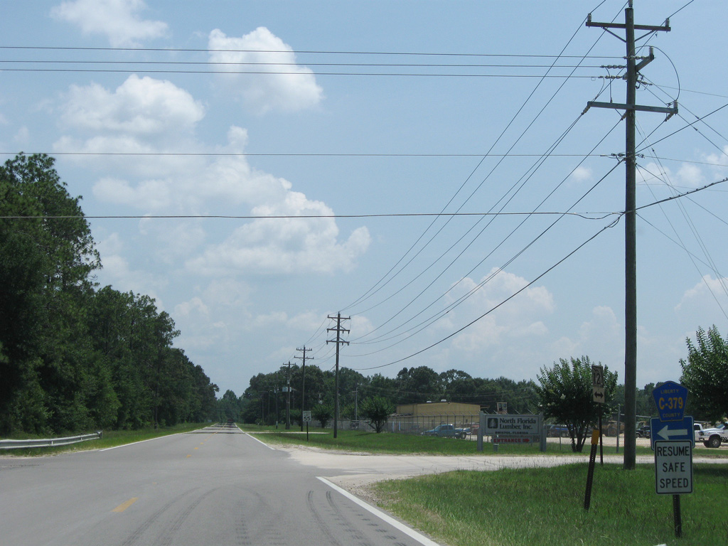
CR 12 north at the south end of the 3.65 mile loop for CR 379 east to Woods and CR 67A.
01/16/16
01/16/16
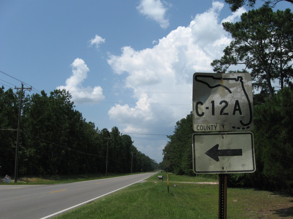
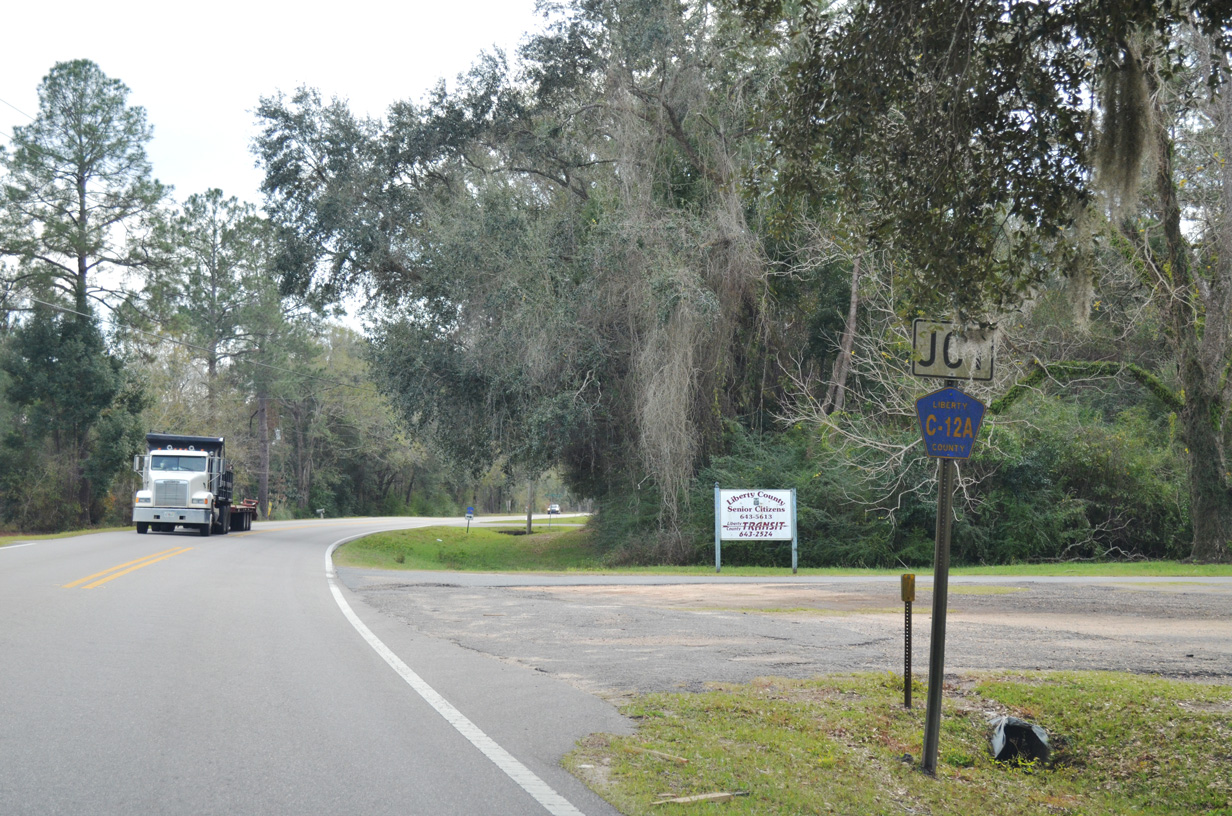
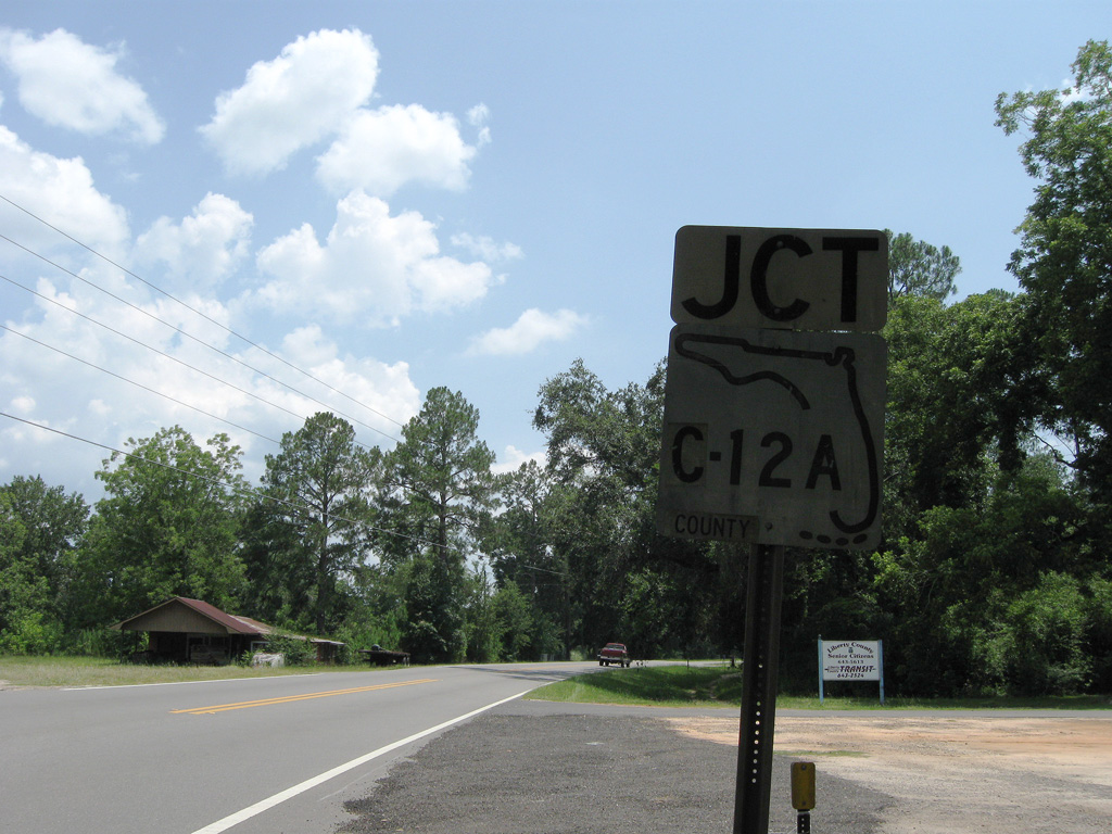
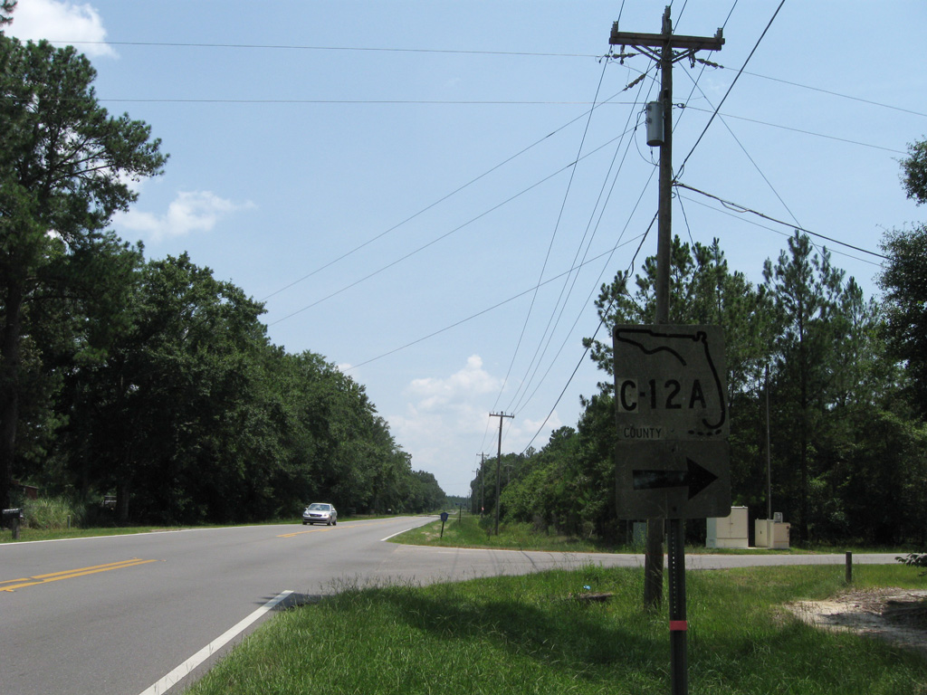
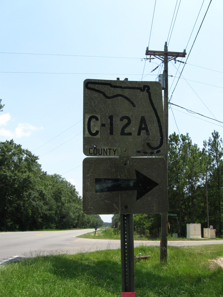
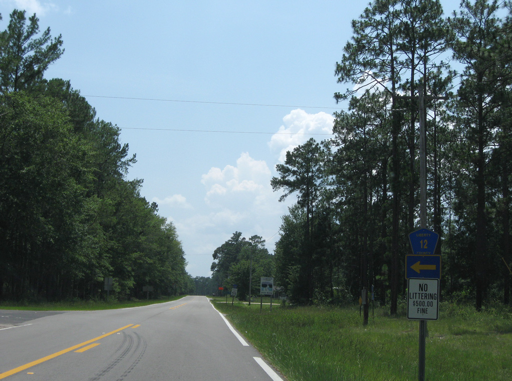
CR 12 north at CR 12A west. This keys shield was replaced by 2013.
06/27/09
06/27/09
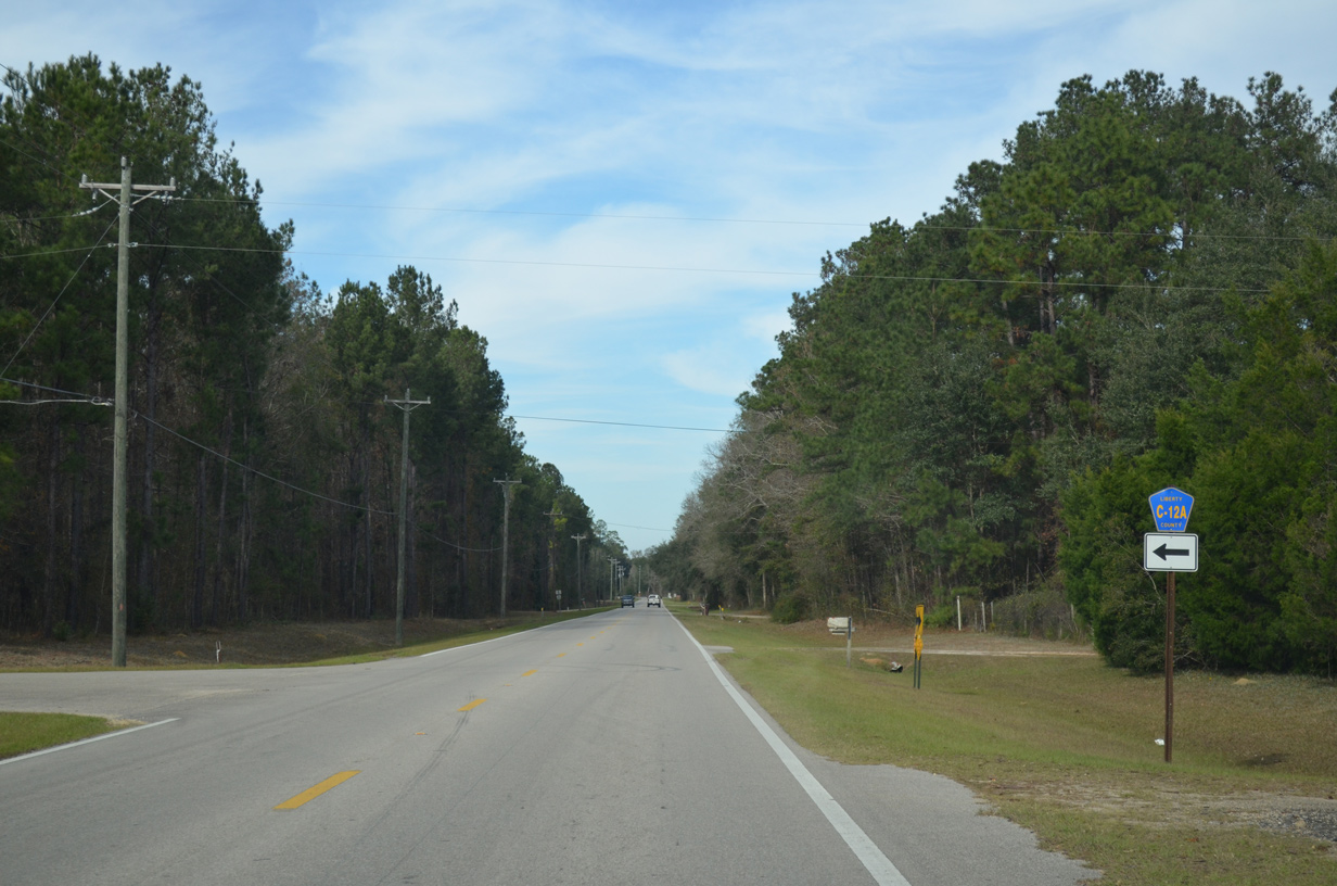
CR 12A follows Lake Mystic Duggar Road west around Lake Mystic.
01/16/16
01/16/16
06/27/09
06/27/09
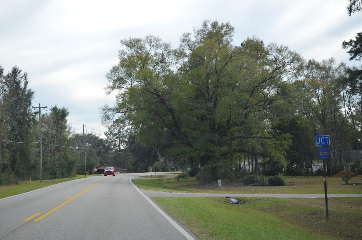
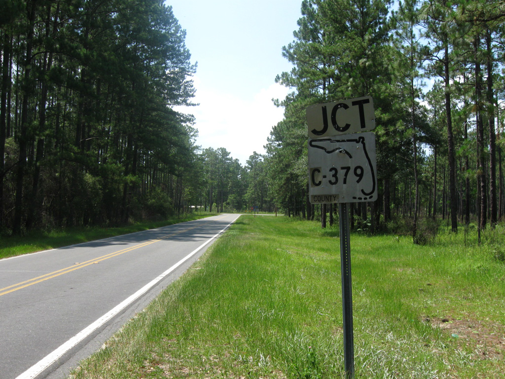
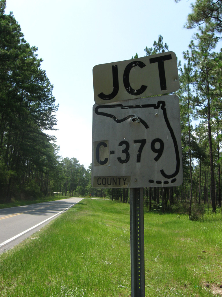
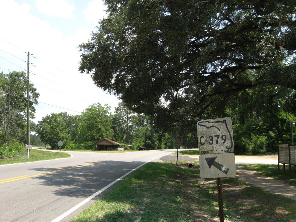
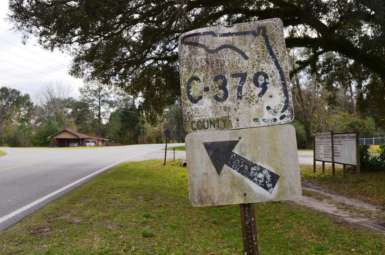
CR 379 branches southeast from CR 12 to the community of Woods.
01/16/16
01/16/16
06/27/09
01/16/16
CR 12A loops 2.08 miles west around Lake Mystic from CR 12 at the ensuing intersection.
01/16/16
01/16/16
This S-12A keys shield on CR 12 south was date stamped 02-21-68.
06/27/09
06/27/09
06/27/09
date stamped 02-23-72
06/27/09
06/27/09
06/27/09

CR 12A (NW Lake Mystic Duggar Road) returns to CR 12 from the south side of Lake Mystic.
06/27/09
06/27/09
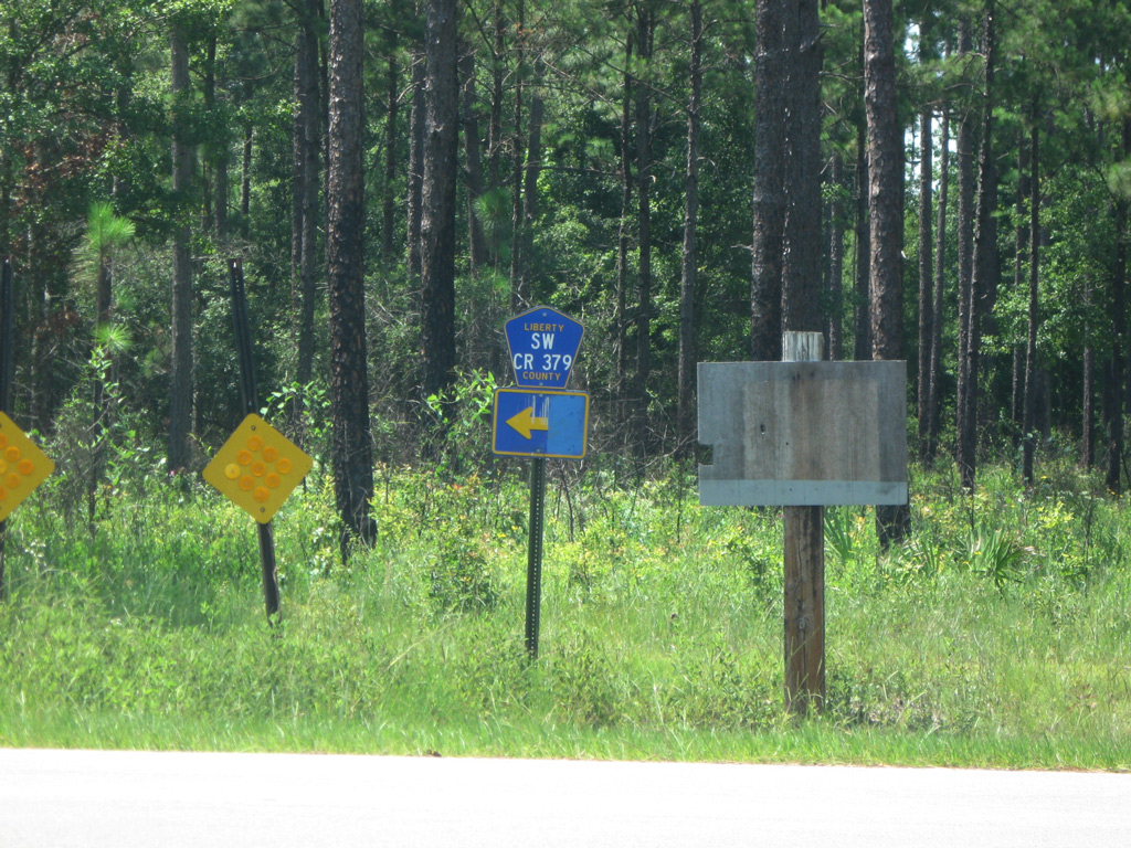
CR 379 heads southwest from CR 67 to meet CR 12 again by the settlement of Woods.
06/27/09
06/27/09
06/27/09
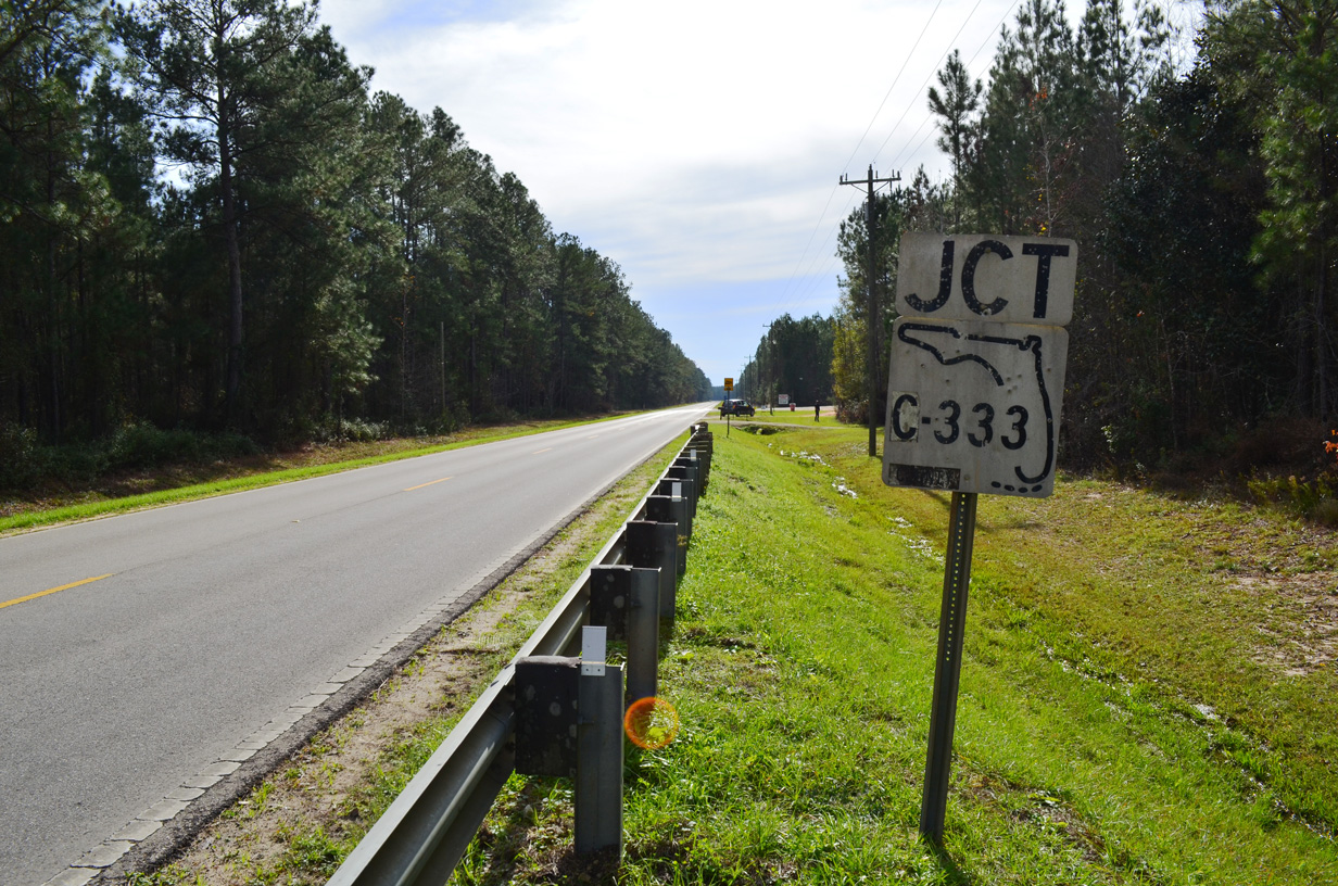
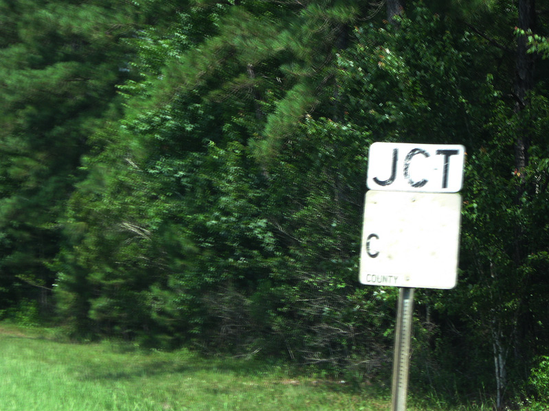
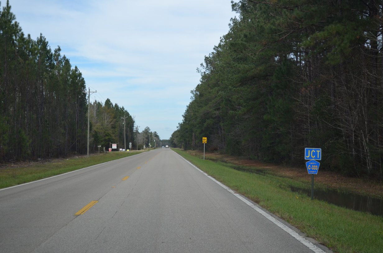
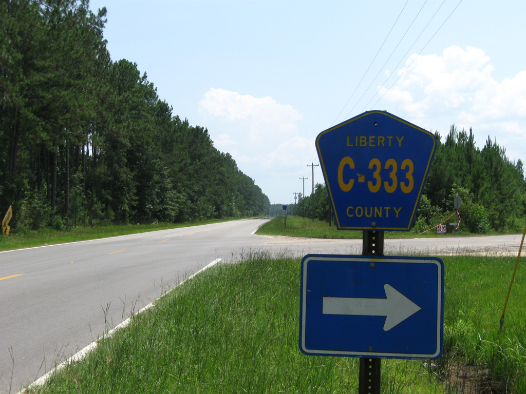
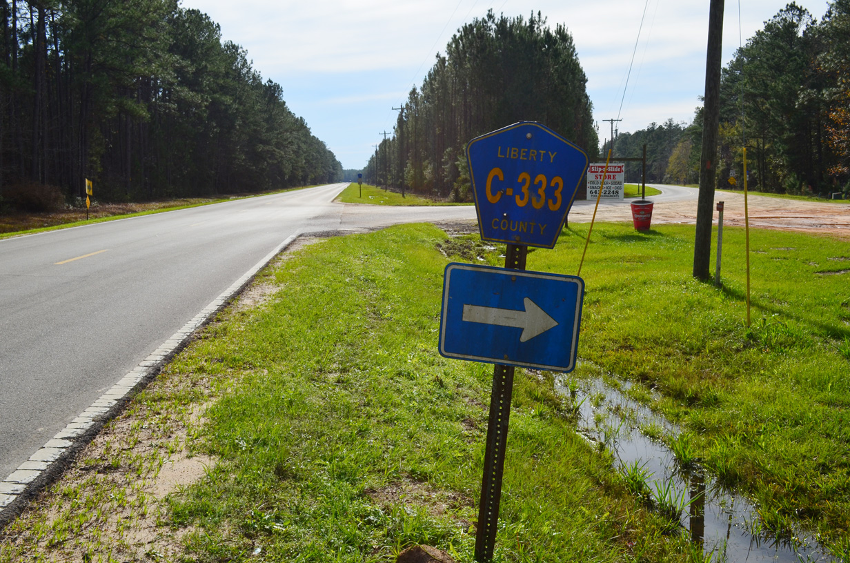
CR 333 branches southwest from CR 12 to Estiffanulga.
01/16/16
01/16/16
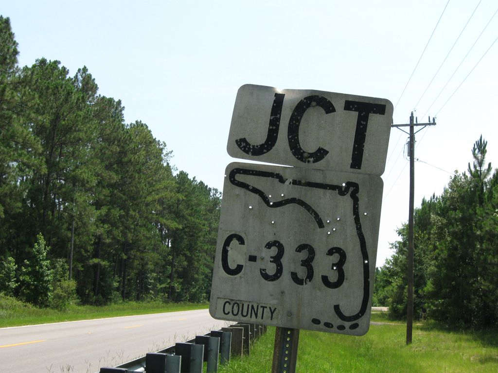
The S-333 keys shield was date stamped 07-26-63.
06/27/09
06/27/09
CR 333 spurs 6.60 miles south to Equaloxic Creek.
06/27/09
06/27/09
01/16/16
01/16/16
06/27/09
06/27/09
06/27/09
06/27/09
06/27/09

06/27/09
06/27/09
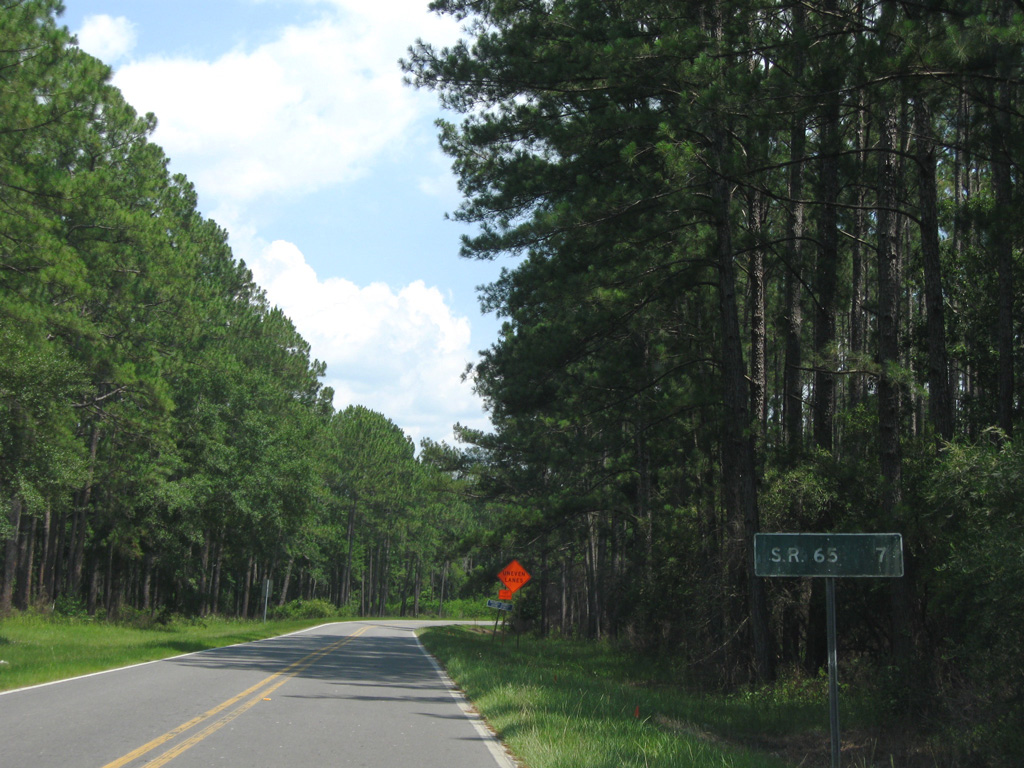
CR 12 extends another seven miles south from Orange to SR 65 at Wilma.
06/27/09
06/27/09

The north end of CR 12A (Lake Mystic Duggar Road) at CR 12 adjacent to CR 379 near Lake Mystic.
01/16/16
01/16/16
Photo Credits:
- ABRoads: 06/27/09, 01/16/16
Connect with:
Page Updated Wednesday April 22, 2020.