
Santa Rosa County Road 87A

There are three segments of County Road 87A signed in Santa Rosa County. The 2.99 mile long northern portion provides a cutoff between SR 4 and SR 87 along Market Road east of Jay. The southern stretch of CR 87A consists of two disjointed routes serving Naval Air Station Whiting Field. One 0.99 mile section joins SR 87 and Milton with the west gate to the base via Langley Street while East Gate Road provides access to the facility north 3.13 miles from County Road 191 at Roeville.
Leading away from SR 87, Langley Street sees an eastbound reassurance shield.
11/28/09
Lowering to cross Clear Creek, the west gate to Naval Air Station Whiting Field comes into view.
02/07/06
Westgate Mobile Home Park precedes the entrance to N.A.S. Whiting Field, providing the last turnaround for CR 87A before Langley Street enters the base.
02/07/06
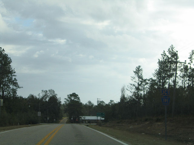
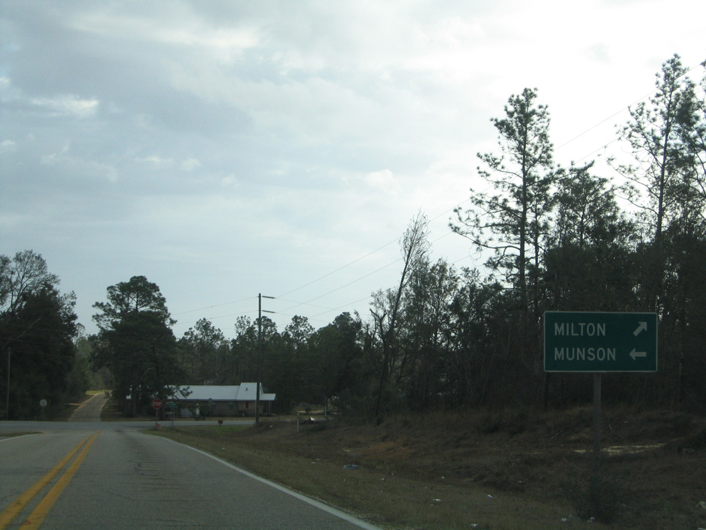
Approaching the east end of County Road 87A (East Gate Road) at County Road 191 (Munson Highway).
02/06/06
County Road 191 angles southwest from Roeville to Downtown Milton. The rural highway continues northeast toward the settlement of Munson through Blackwater River State Forest.
02/06/06
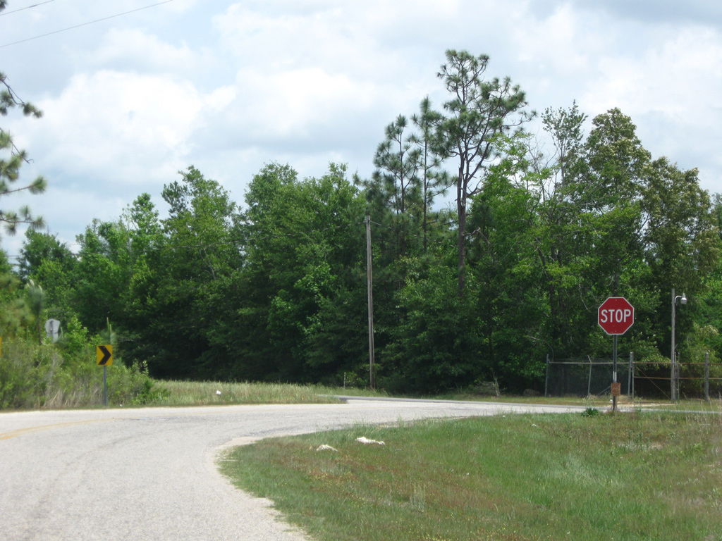
East Gate Road leads due north from County Road 191 (Munson Highway) at Roeville by a number of rural communities and mobile home parks before curving west to Naval Air Station Whiting Field.
02/06/06
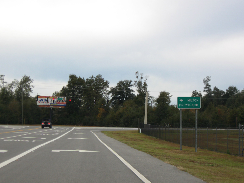
County Road 87A (Langley Street) expands with two left-turn lanes for SR 87 south into Milton and one lane for the state road north to Allentown, Berrydale and Brewton, Alabama.
11/28/09
Market Road stems east from the southward curve of SR 4 toward Berrydale. A reassurance marker for CR 87A appears just beyond SR 4.
05/03/09

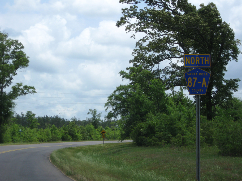
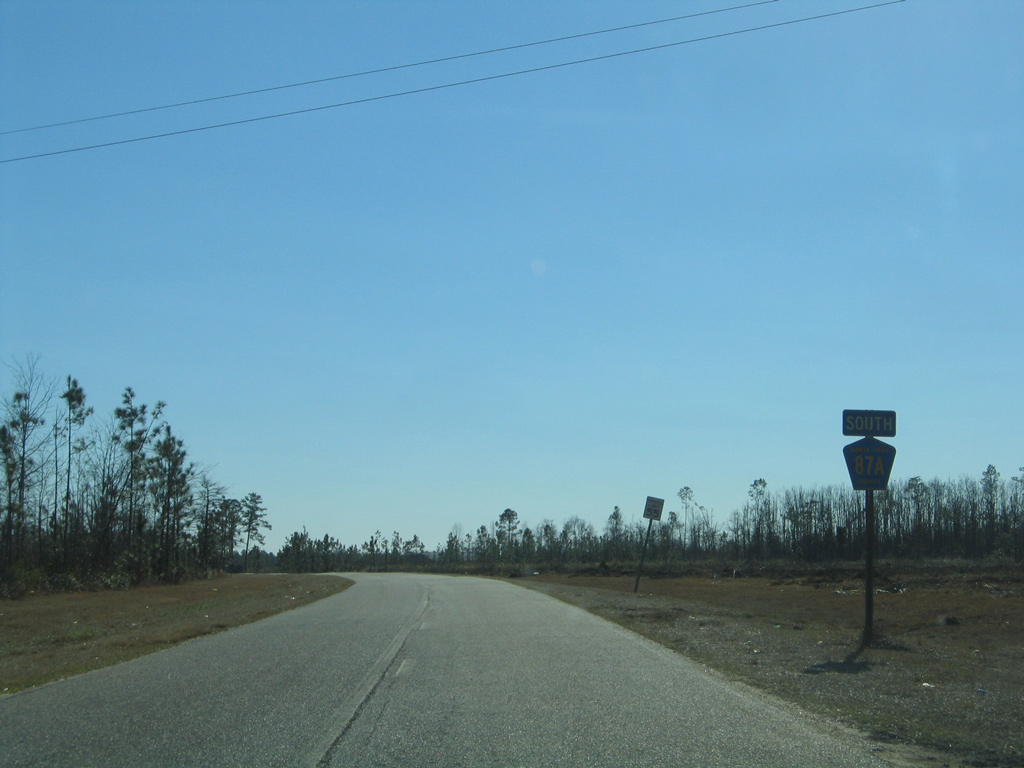
Santa Rosa County Road 87A travels a section line east for a mile or so before curving north at Letcher Black Road.
05/03/09
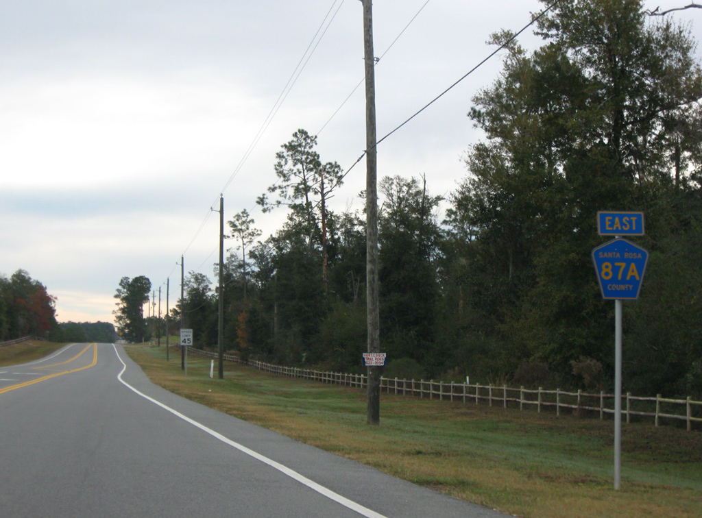
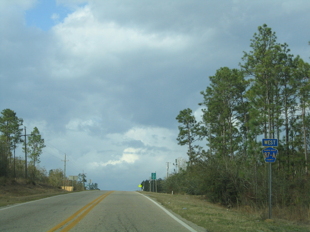
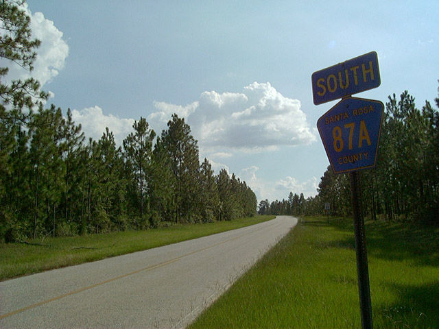
An unmarked intersection concludes the L-shaped route of CR 87A north to SR 87. SR 87 continues two miles to the state line near Dixonville to become Alabama 41.
05/03/09
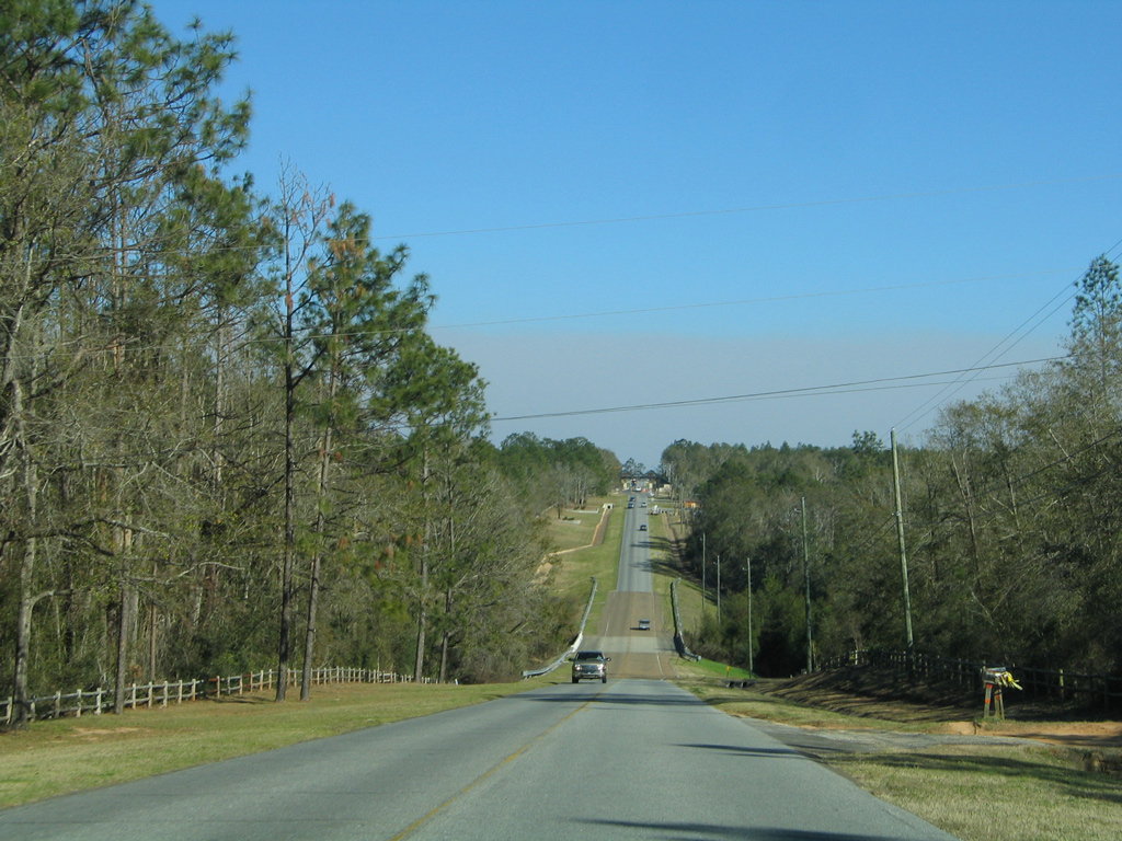
Santa Rosa County Road 87 veers away from SR 87 through a mixture of agricultural and forest land. The road angles southwest to Letcher Black Road and a western turn to SR 4.
08/24/04
08/07/06
Photo Credits:
- Brent Ivy: 05/03/09, 11/28/09
- Alex Nitzman: 08/24/04, 02/06/06, 02/07/06, 08/07/06
Connect with:
Page Updated Thursday March 13, 2014.