
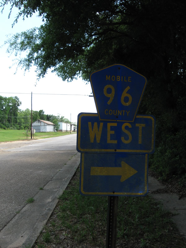
Mobile County Road 96
CR 96 is a continuation of Mississippi Highway 594 east from MS 63 near Leakesville to Citronelle. Traversing areas of pine forest, CR 96 (Beverly Jefferies Highway) passes north of Citronelle Lake east to CR 21 (Prine Road) in the city of Citronelle. The eastern leg of CR 96 connects Citronelle with U.S. 43 at Mount Vernon.
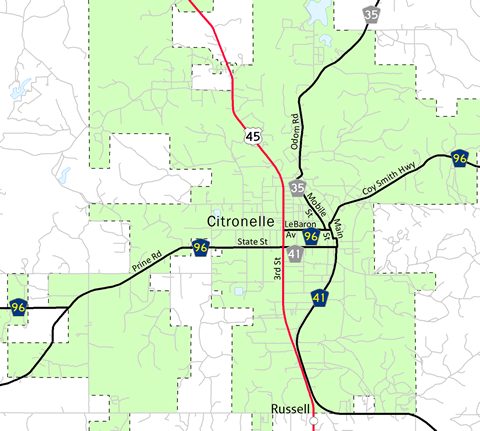
Mobile County Route 96 follows a combination of Beverly Jefferies Highway east from the Mississippi state line to Prine Road, overtaking it from CR 21. Prine Road becomes State Street, carrying CR 96 to U.S. 45 (3rd Street) opposite from an unsigned branch of CR 41. CR 96 resumes along LeBaron Avenue east to Main Street and Coy Smith Highway en route to Mt. Vernon.
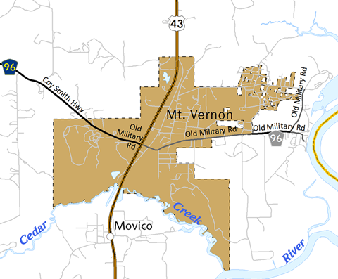
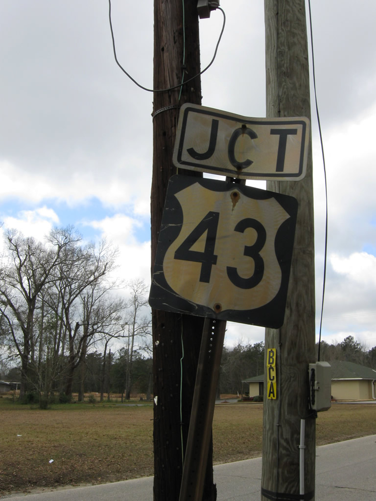
CR 96 ends at U.S. 43 from the west in Mt. Vernon as a signed route. An unsigned branch extends along Old Military Road east of the town limits onto State Landing Road to the J.E. Turner Boat Ramp on the Tombigbee River.
 East
East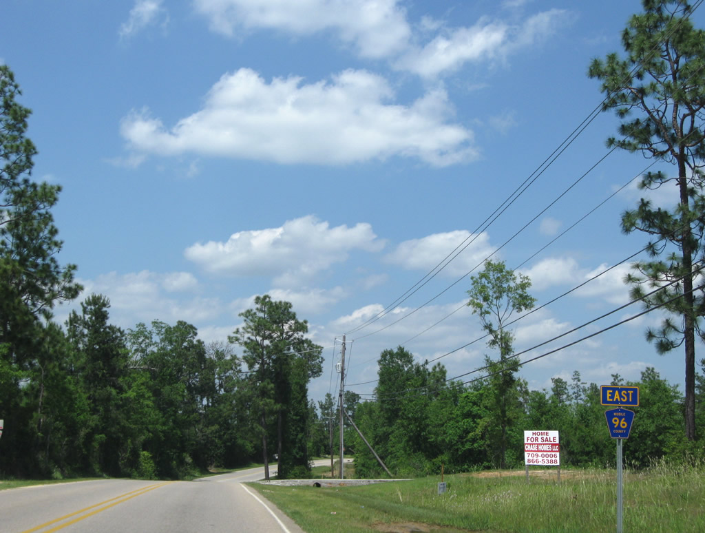
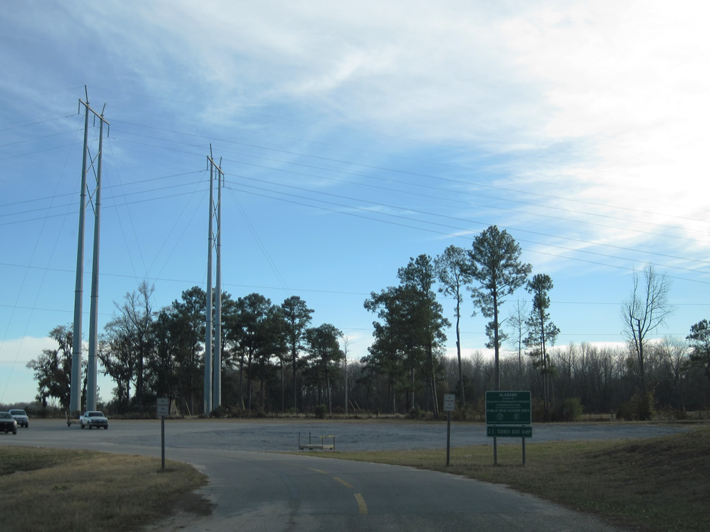
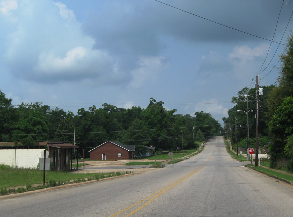
CR 96 overtakes Prine Road north from the end of CR 21 in west Citronelle.
05/09/09
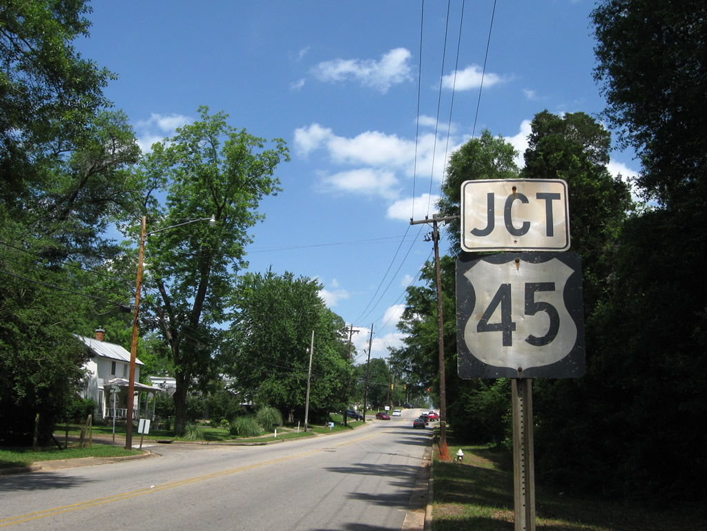
An old style U.S. 45 precedes 3rd Street along CR 96 (State Street) eastbound in Citronelle.
05/09/09
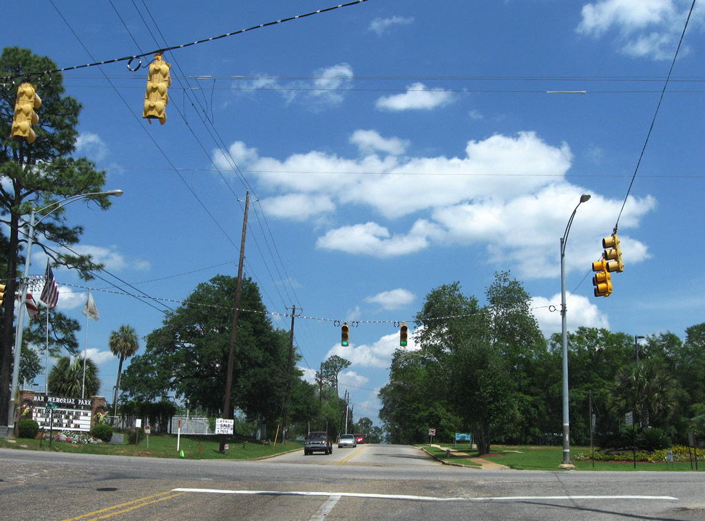
U.S. 45 follows 3rd Street along the main commercial strip in Citronelle. State Street continues east from CR 96 as an unsigned leg of CR 41 to Main Street and the Citronelle city center.
05/09/09
CR 96 follows Lebaron Avenue east from U.S. 45 (3rd Street) to Coy Smith Highway and CR 41 south along Main Street.
05/09/09
CR 41 lines Main Street south from CR 96 and Lebaron Avenue to Celeste Road.
05/09/09
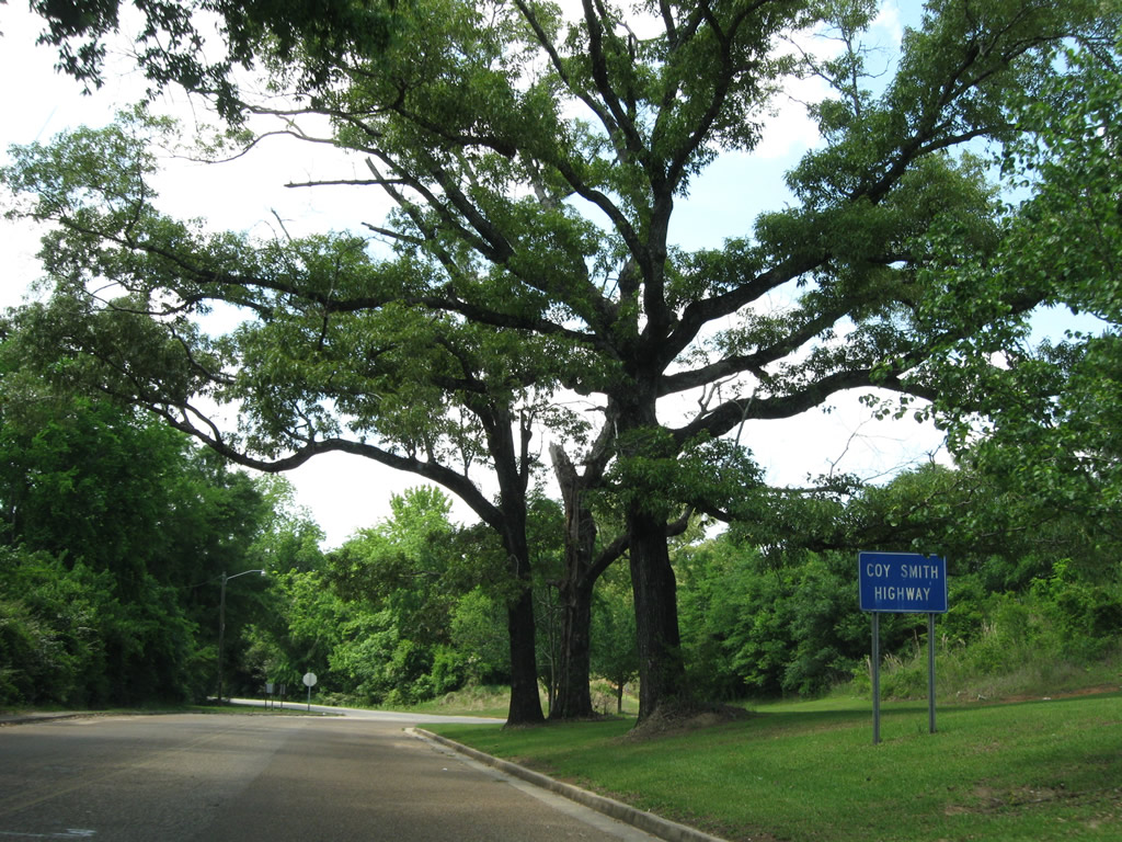
Main Street north transitions into Coy Smith Highway east at Railroad Avenue in Citronelle. CR 96 continues 14.4 miles east to U.S. 43 in Mount Vernon.
05/09/09
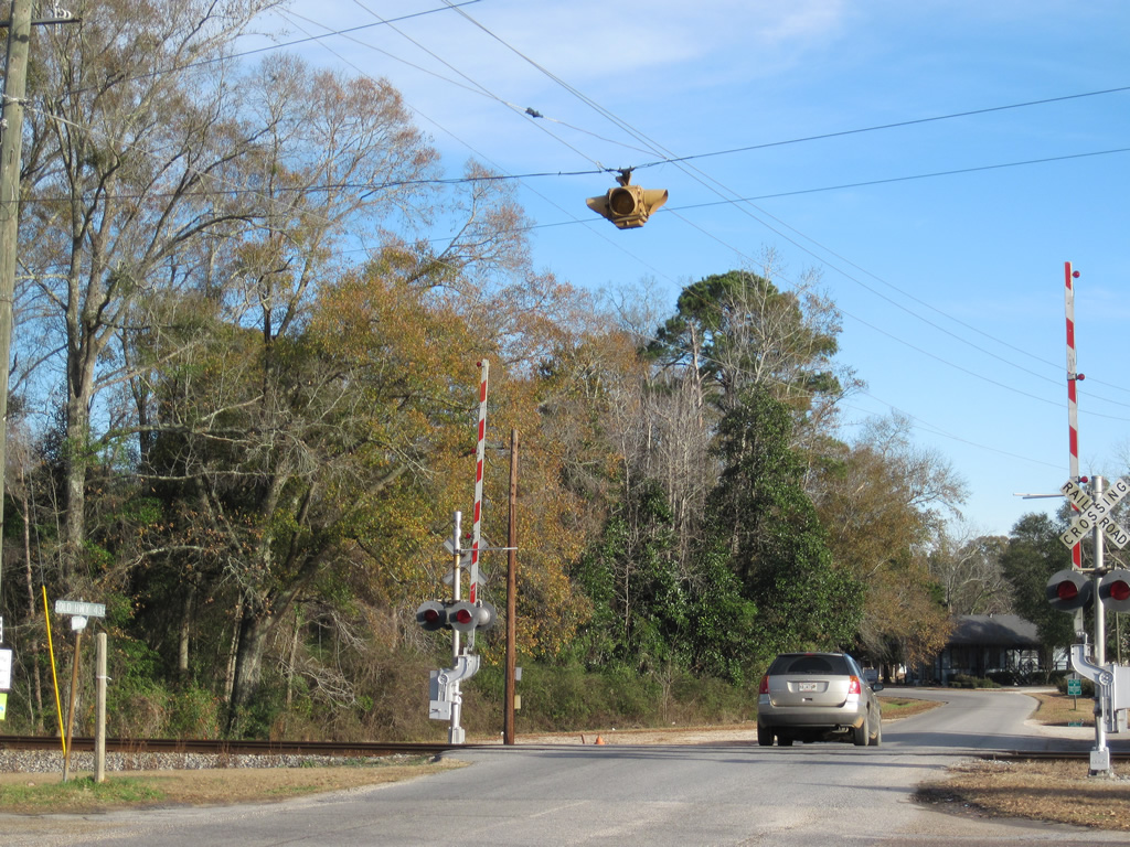
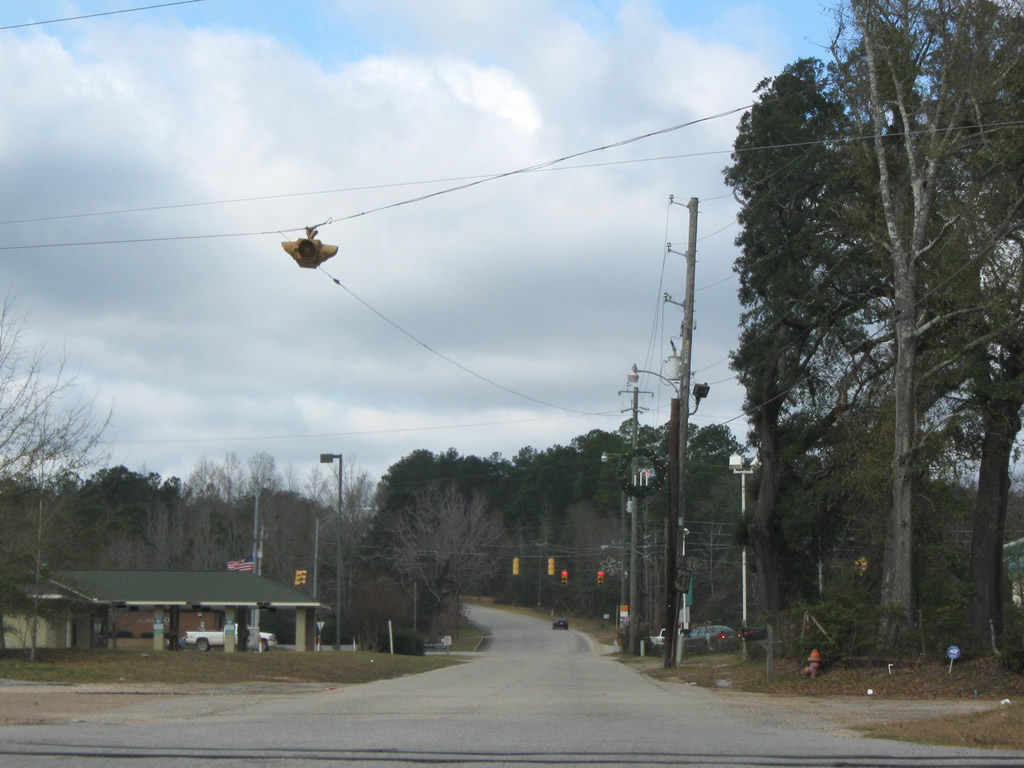
An one piece, four way flasher operated at the intersect joining Military Road (unsigned CR 96) with Old Highway 43 in Mt. Vernon. Old Highway 43 parallels a Norfolk Southern Railroad east of U.S. 43.
01/02/11
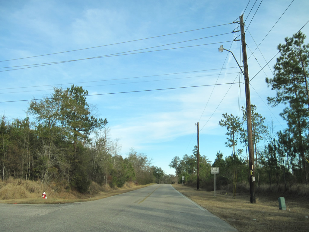
County maintenance commences along Military Road (unsigned CR 96) east of Shepard Lake Road and the Mount Vernon municipal line.
01/02/11
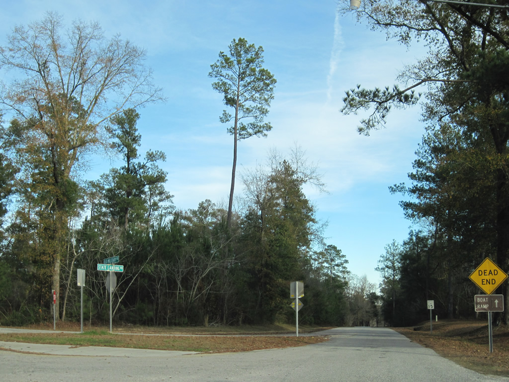
Unsigned County Road 96 ends at the split of Military Road into State Landing Road east to the J.E. Turner Boat Ramp and Old Military Road north to Fort Stoddard.
01/02/11
State Landing Road leads directly to the Mobile River and a boat ramp facility.
01/02/11
West
A short unsigned segment of CR 96 links State Landing Road with Shepard Lake Road at the Mount Vernon line. Local maintenance takes over along Military Road westward to U.S. 43.
01/02/11
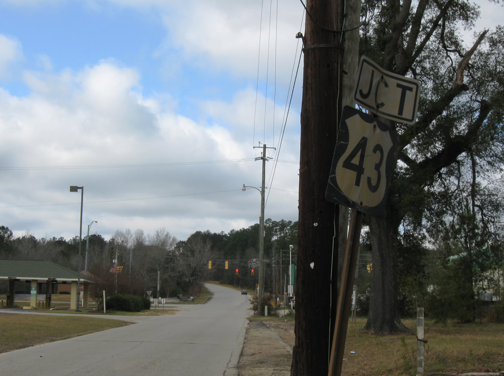
Unsigned CR 96 west follows Old Military Road south from Railroad Street in Mt. Vernon to Military Road west from Old Fort Stoddard. Military Road meets Old Highway 43 beyond the Norfolk Southern Railroad.
01/01/10
Miltary Road connects with U.S. 43 just west of Old Highway 43 in Mount Vernon.
01/01/10
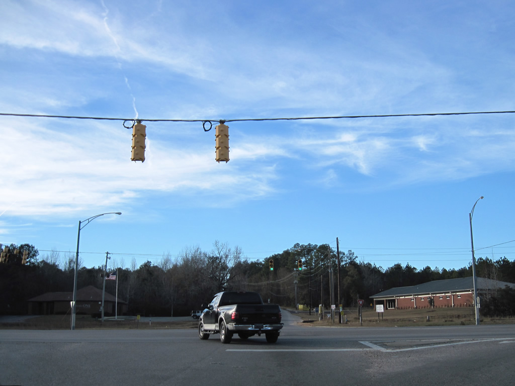
U.S. 43 constitutes a four lane, divided highway south to Axis and Satsuma and north to Calvert and Wagarville.
01/01/10
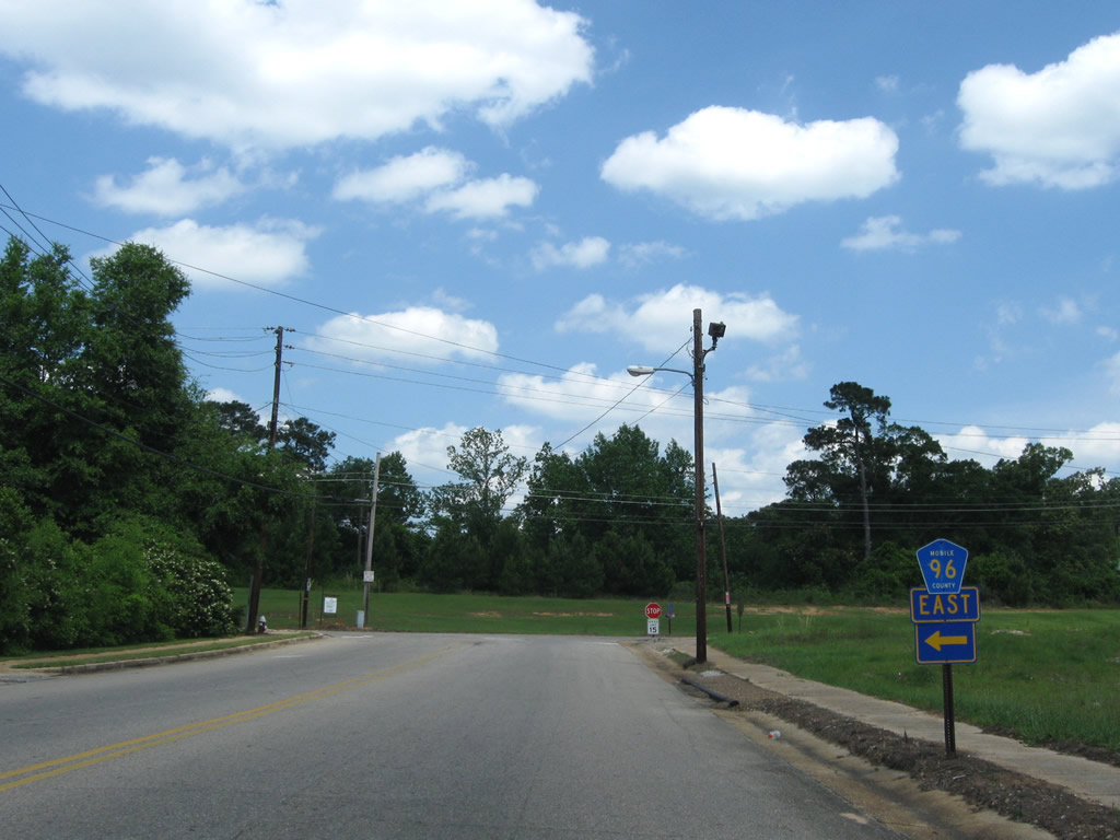
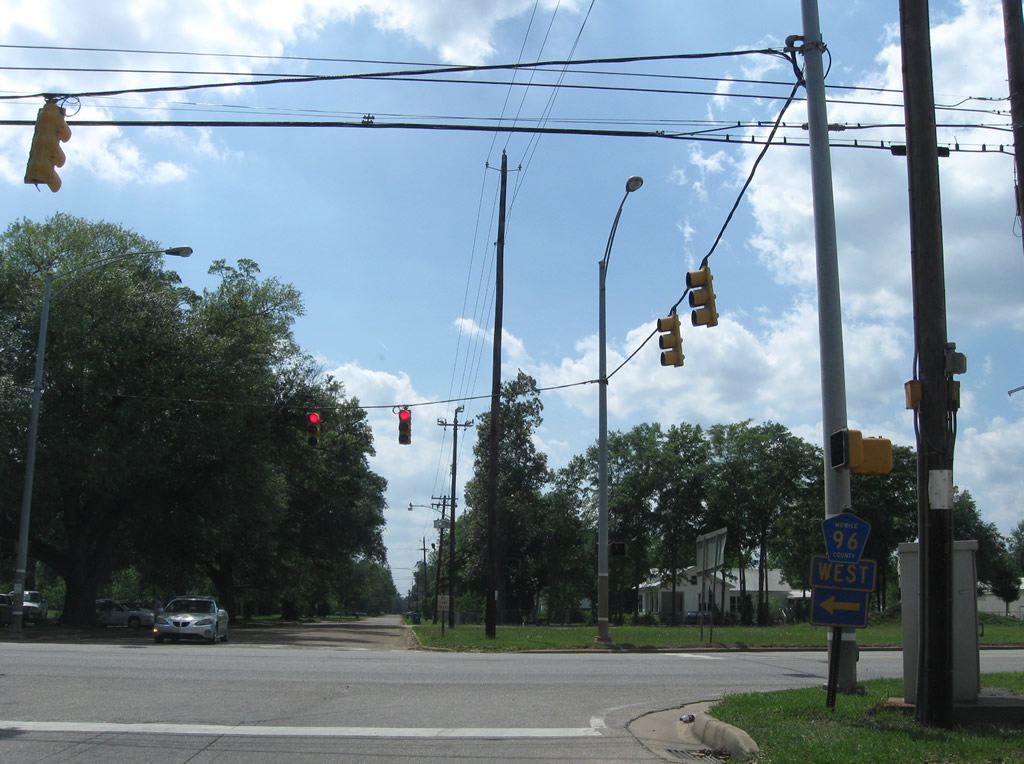
County Road 96 continues west from U.S. 43 in Mt. Vernon along Coy Smith Highway to Citronelle.
01/02/11
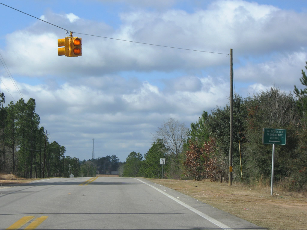
Patillo Road spurs south from CR 96 (Coy Smith Highway) to Calcedeaver Elementary School and a rural residential area west of Indian Grave Creek.
01/01/10

A unique trailblazer for U.S. 45 precedes the western turn of CR 96 from Main Street onto Lebaron Avenue in the city of Citronelle.
05/09/09
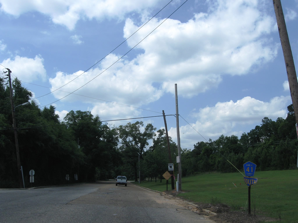
CR 41 begins on Main Street south where CR 96 turns onto Lebaron Avenue. CR 41 follows Celeste Road southward from Citronelle to Saraland.
05/09/09
CR 96 (LeBaron Avenue) intersects Mobile Street one block west of Main Street (CR 41). Mobile Street is unsigned CR 35 leading north to Sims Chapel in Washington County.
06/01/10
An implied overlap with U.S. 45 (3rd Street) links CR 96 west along Lebaron Avenue with the continuation of the route on W State Street. West of U.S. 45, CR 96 leads onto Prine Road and Beverly Jeffries Highway to Mississippi Highway 594 near Leakesville.
05/09/09
Photo Credits:
- ABRoads: 05/09/09, 01/02/11
- Brent Ivy: 01/01/10
- AARoads: 06/01/10
Connect with:
Page Updated Monday August 08, 2022.