
County Road 275A / 275B

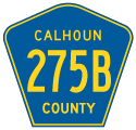
County Road 275A connected SR 71 with CR 275 along Mt. Olive Cemetery Road in rural areas of northern Calhoun County. County Road 275B stems 1.00 mile north from Mt. Olive Cemetery Road along Alliance Road to the Jackson County line. Dowling Road extends the roadway a half mile north to CR 278 (Alliance Road). Both CR 275A and CR 275B appeared on the FDOT Calhoun County General Highway Map in 1989.
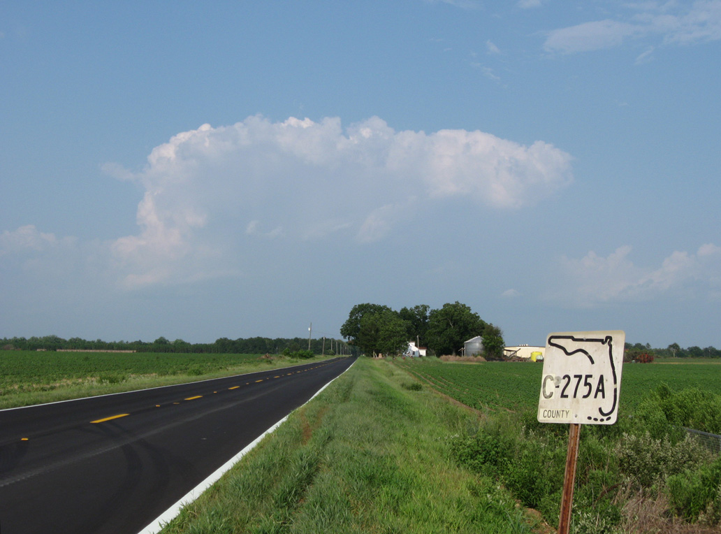
The eastbound beginning of CR 275A on Mt. Olive Cemetery Road.
10/13/16
10/13/16
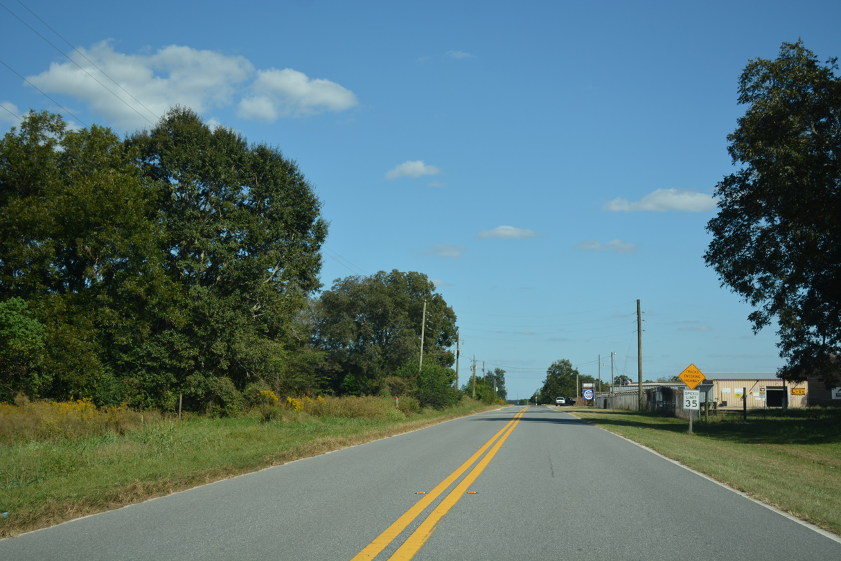
Mt. Olive Cemetery Road east at NE Alliance Road and the south end of County Road 275B.
10/13/16
10/13/16
Confirming marker formerly posted for CR 275A (Mount Olive Cemetery Road) east of CR 275B (Alliance Road).
06/27/09
06/27/09
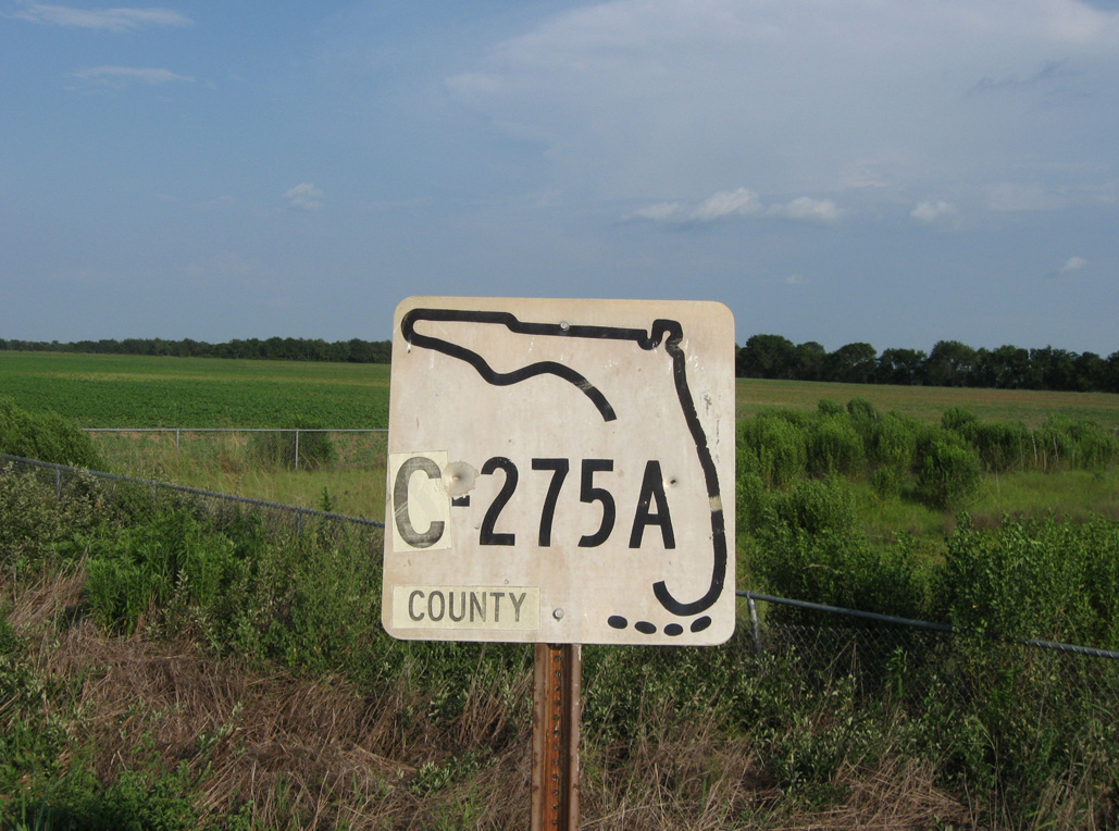
The keys shield for CR 275A east at CR 275B was date stamped 03-11-74.
06/27/09
06/27/09
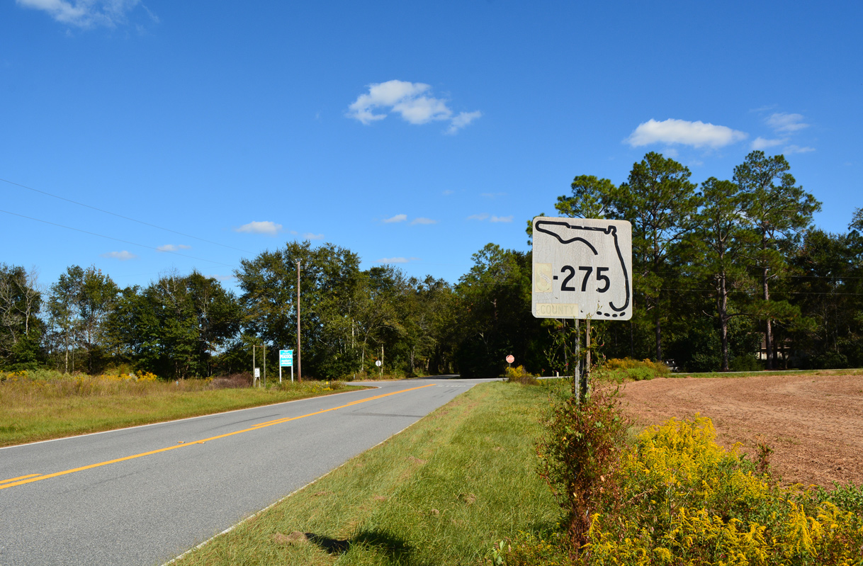
CR 275A concludes at CR 275 across from Amaziah Peacock Road.
10/13/16
10/13/16

This branch of CR 275 leads north to CR 278 in Jackson County and south to CR 274 east of Altha. Since removed, the marker here was date stamped 10-25-72.
06/27/09
06/27/09
Mt. Olive Cemetery Road (CR 275A) west at the unmarked intersection with State Road 71.
10/13/16
10/13/16
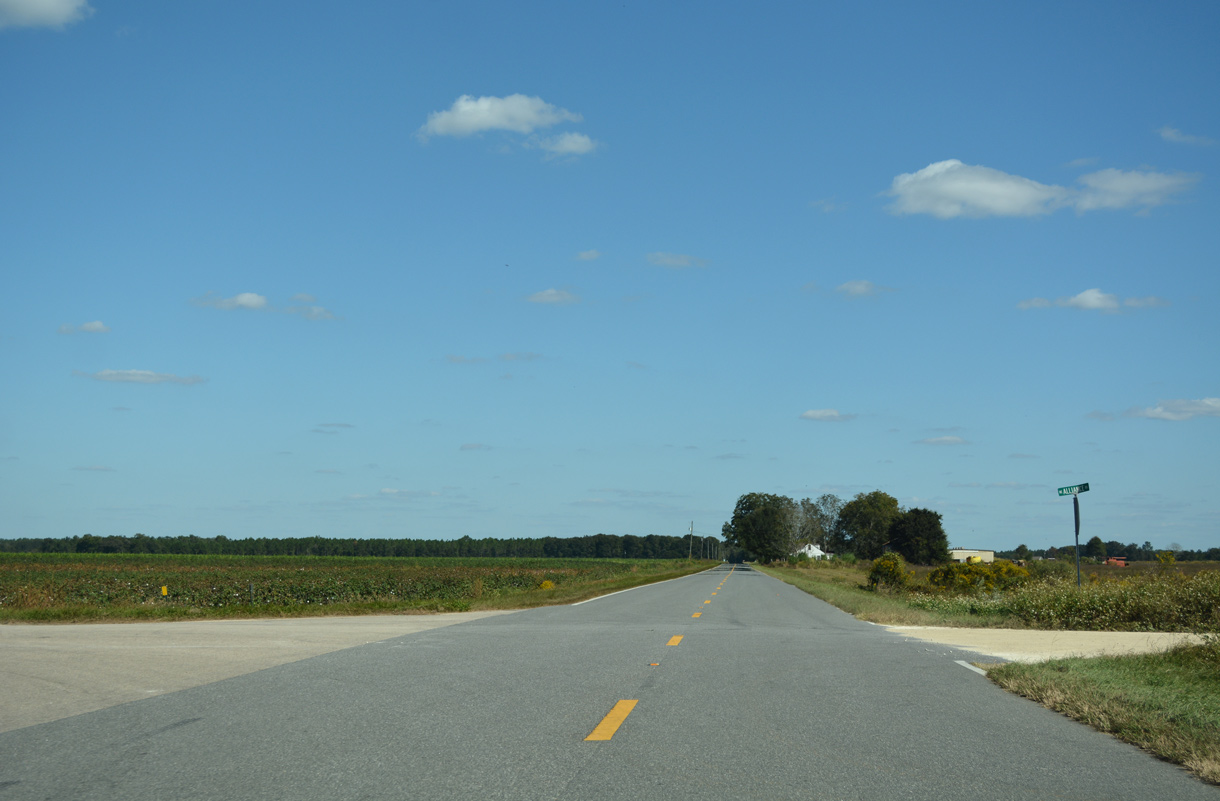
Alliance Road becomes a part of County Road 275B north of Mt. Olive Cemetery Road (CR 275A).
06/27/09
06/27/09
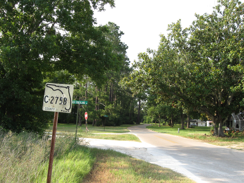
CR 275B concludes at the intersection of Jack Strickland Road and Dowling Road on the Jackson County line.
06/27/09
06/27/09
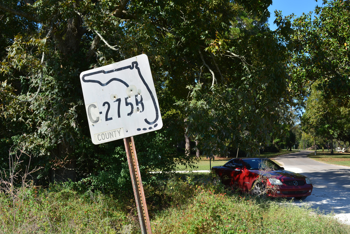
Date stamped 01-13-73, the lone marker for S-275B stands at the county line.
10/13/16
10/13/16
Heading south along CR 275B (Alliance Road) between the Jackson County line and Mt. Olive Cemetery Road (CR 275A).
06/27/09
06/27/09
The unmarked south end of CR 275B at Mt. Olive Cemetery Church Road (CR 275A).
06/27/09
06/27/09
Photo Credits:
- Alex Nitzman: 10/13/16
- ABRoads: 06/27/09
Connect with:
Page Updated Saturday April 18, 2020.